2019-20-Ski-Utah-Poster-1200w |
The Wasatch Range runs about 260 km from the Utah-Idaho border south to central Utah. It is the western edge of the greater Rocky Mountains, and the eastern edge of the Great Basin region.
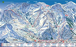
Alta Trail Map 11072018web-1
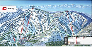
Beaver Mountain trail map 2x 1

Head Reece BHR Trail Map Final FINAL-2018-19-Marks-Bleed-1
📷 Brian
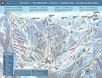
Brighton ZMAP WEB compressed
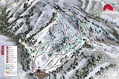
Cherry Peak
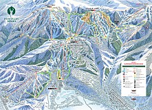
Deer Valley download
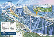
Eagle Point trail map 2018 2-large
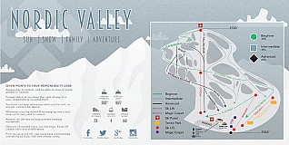
Nordic Valley download
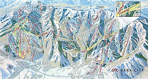
Ark City download
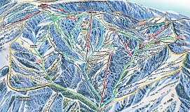
Owder Mountain 1819-powder-mountain-trailmap
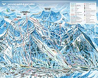
Snowbird winter snowbird trail map-1
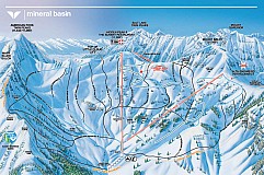
Snowbird winter snowbird trail map-2
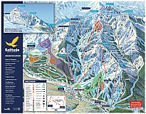
Solitude download
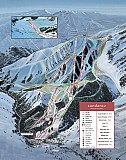
Sundance Winter-Trail-Map-2018-1
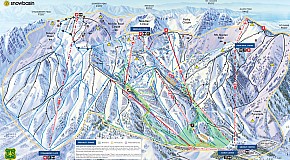
Snowbasin Trailmap
See also
Travel
Mobile data
|
Apps
|
Transport recommended
Snow information
|
(:template first:)
| Name | 6x | 4x | 4 | 3 | 2 | Tbar | platter | rope | carpet | area | base | top | drop | terrain | aspect | opens | closes | link | ref | snow.co |
|---|
(:template each:)
| {=$:Name}? | {=$:chair6x} | {=$:chair4x} | {=$:chair4} | {=$:chair3} | {=$:chair2} | {=$:liftTbar} | {=$:liftplatter} | {=$:liftropehand} | {=$:liftcarpet} | {=$:area} | {=$:base} | {=$:top} | {=$:drop} | {=$:terrain} | {=$:aspect} | {=$:opens} | {=$:closes} | {=$:url}(approve sites) | [16](approve sites) |  |
(:template last:)
Key
2 3 4 6 chair size
x express chair
