| assetId | name | region | lon | lat | line |
|---|
| [assetId]=114ff80d-12f4-4f0b-8384-103f0c8e6efc | [name]=Abel Tasman Coast Track | [region]=Nelson/Tasman | [lon] =173.011689 | [lat] =-40.848995 | [line]=173.023088 -40.862361 173.022844 -40.862117 173.023088 -40.862361 173.023854 -40.862226 173.023498 -40.862569 173.023098 -40.862632 173.024416 -40.862957 173.024258 -40.863063 173.02573 -40.863173 173.026144 -40.863669 173.026876 -40.864066 173.027143 -40.863831 173.027884 -40.863805 173.027994 -40.863888 173.027847 -40.864072 173.02841 -40.864056 173.028692 -40.864282 173.028865 -40.86393 173.029204 -40.864202 173.030261 -40.864325 173.03037 -40.864623 173.030062 -40.865126 173.029591 -40.865245 173.029405 -40.865548 173.03044 -40.865655 173.031218 -40.865535 173.031557 -40.865677 173.031706 -40.865947 173.032002 -40.865935 173.032493 -40.866442 173.033398 -40.866635 173.033625 -40.867008 173.034124 -40.867258 173.034497 -40.868361 173.034419 -40.869467 173.034678 -40.869723 173.035283 -40.869611 173.036088 -40.869203 173.036576 -40.868561 173.037107 -40.868393 173.03721 -40.868053 173.03786 -40.868055 173.038204 -40.86759 173.038071 -40.866877 173.037639 -40.866755 173.037856 -40.866395 173.037203 -40.86635 173.037515 -40.865707 173.038504 -40.865916 173.039412 -40.865302 173.039254 -40.866015 173.039696 -40.866242 173.039345 -40.866653 173.039566 -40.866866 173.040288 -40.866672 173.040944 -40.866738 173.041246 -40.86652 173.041806 -40.866414 173.04221 -40.86648 173.042465 -40.866709 173.041949 -40.867262 173.042286 -40.867689 173.041801 -40.868936 173.04209 -40.869101 173.042545 -40.869056 173.043391 -40.869507 173.043498 -40.870277 173.044139 -40.870466 173.044891 -40.869464 173.045227 -40.869403 173.045809 -40.869556 173.046139 -40.869929 173.047144 -40.87021 173.047789 -40.870835 173.048328 -40.871997 173.04952 -40.872955 173.050538 -40.873229 173.051123 -40.873059 173.050977 -40.873451 173.051164 -40.874001 173.051413 -40.873987 173.051553 -40.874152 173.051267 -40.874726 173.051977 -40.874839 173.051218 -40.875567 173.051253 -40.875999 173.051807 -40.876313 173.052012 -40.87671 173.053357 -40.877515 173.053205 -40.877775 173.052654 -40.877983 173.052375 -40.878276 173.052851 -40.878828 173.052671 -40.879336 173.05297 -40.879882 173.052381 -40.879945 173.051959 -40.880758 173.051092 -40.881261 173.051285 -40.881736 173.051227 -40.882139 173.049603 -40.883157 173.048087 -40.884747 173.047065 -40.886573 173.04673 -40.88795 173.046768 -40.889898 173.047231 -40.889843 173.047936 -40.8904 173.04902 -40.890378 173.049756 -40.890865 173.050001 -40.891824 173.04993 -40.892399 173.050195 -40.892497 173.050476 -40.893469 173.049894 -40.89371 173.050508 -40.893741 173.049954 -40.894172 173.050412 -40.894732 173.05069 -40.894742 173.050272 -40.89541 173.050429 -40.895483 173.050629 -40.895359 173.050769 -40.895521 173.050816 -40.895641 173.050464 -40.895848 173.050874 -40.896208 173.050663 -40.896216 173.050972 -40.897675 173.051566 -40.898459 173.051625 -40.899408 173.05096 -40.900267 173.050863 -40.900861 173.05111 -40.90112 173.051268 -40.901738 173.051078 -40.901958 173.050612 -40.902034 173.051 -40.902314 173.050555 -40.902801 173.051031 -40.903125 173.051148 -40.903897 173.050836 -40.904364 173.050405 -40.904514 173.050038 -40.904451 173.050397 -40.905146 173.050408 -40.905652 173.050162 -40.905626 173.04974 -40.906166 173.049296 -40.906311 173.049479 -40.906392 173.04943 -40.906671 173.049928 -40.906891 173.049963 -40.907045 173.049607 -40.907198 173.049452 -40.90782 173.048969 -40.908059 173.049031 -40.908337 173.048416 -40.909205 173.048469 -40.909846 173.049081 -40.91037 173.049563 -40.910508 173.050316 -40.91138 173.050306 -40.912233 173.050479 -40.91259 173.050041 -40.912416 173.049765 -40.912482 173.049369 -40.912187 173.049321 -40.911872 173.048971 -40.911986 173.048368 -40.911646 173.048111 -40.911678 173.047814 -40.911858 173.048338 -40.9134 173.048001 -40.913593 173.04748 -40.913589 173.04734 -40.913794 173.046276 -40.9138 173.045891 -40.914196 173.044951 -40.914506 173.04489 -40.914666 173.045335 -40.914867 173.045876 -40.914871 173.047014 -40.915816 173.048938 -40.916745 173.049479 -40.917585 173.050796 -40.918201 173.052028 -40.9194 173.053362 -40.919911 173.053982 -40.919639 173.054241 -40.919791 173.054537 -40.920468 173.053999 -40.920838 173.053513 -40.920681 173.053441 -40.921024 173.053023 -40.921364 173.052174 -40.921384 173.052345 -40.92196 173.052911 -40.92203 173.05376 -40.922824 173.053795 -40.923091 173.054556 -40.92314 173.054863 -40.923522 173.054859 -40.923999 173.054558 -40.924373 173.054435 -40.924959 173.05391 -40.924939 173.053076 -40.924548 173.052119 -40.924581 173.052502 -40.925264 173.052372 -40.925423 173.052637 -40.925643 173.052754 -40.926256 173.052494 -40.926429 173.052281 -40.927224 173.052022 -40.927474 173.050958 -40.92792 173.050044 -40.928067 173.049377 -40.928664 173.048704 -40.928605 173.048636 -40.92918 173.047944 -40.929252 173.047941 -40.929803 173.048497 -40.930065 173.048196 -40.930244 173.048109 -40.930522 173.048611 -40.930717 173.048378 -40.930883 173.04893 -40.931179 173.048909 -40.931605 173.049591 -40.931939 173.04968 -40.932547 173.05021 -40.933178 173.050103 -40.933291 173.049297 -40.933288 173.0484 -40.933075 173.047447 -40.932271 173.046978 -40.932059 173.04694 -40.932189 173.047129 -40.932739 173.046968 -40.933451 173.047549 -40.933532 173.048004 -40.933803 173.047632 -40.934224 173.048507 -40.934733 173.048556 -40.93494 173.048207 -40.935293 173.048599 -40.935402 173.048889 -40.935264 173.049317 -40.935588 173.04938 -40.93605 173.049525 -40.936231 173.050123 -40.936385 173.050363 -40.937121 173.050836 -40.937556 173.050517 -40.937933 173.050339 -40.937801 173.049713 -40.937789 173.050079 -40.938162 173.049834 -40.938353 173.048903 -40.938534 173.048563 -40.938501 173.048002 -40.938049 173.047692 -40.938009 173.047586 -40.938172 173.047577 -40.938465 173.048015 -40.939076 173.049083 -40.939518 173.049795 -40.939553 173.049256 -40.940172 173.049307 -40.940437 173.048747 -40.940886 173.049097 -40.941003 173.049429 -40.940915 173.049911 -40.941194 173.050188 -40.941873 173.049526 -40.941985 173.049353 -40.942143 173.050025 -40.942446 173.050393 -40.943425 173.049558 -40.943103 173.04962 -40.943204 173.048525 -40.942993 173.048276 -40.94309 173.049722 -40.944392 173.049259 -40.945244 173.048573 -40.945206 173.048402 -40.946462 173.04734 -40.94697 173.046652 -40.94703 173.046582 -40.947589 173.046044 -40.947443 173.044762 -40.947712 173.044291 -40.947252 173.044452 -40.946811 173.044319 -40.946634 173.043825 -40.946719 173.043463 -40.946234 173.043052 -40.946196 173.041567 -40.946816 173.041544 -40.94697 173.042803 -40.947511 173.043182 -40.948179 173.043071 -40.948427 173.043424 -40.948695 173.043407 -40.949069 173.043739 -40.949698 173.043666 -40.950022 173.04417 -40.950189 173.044381 -40.95046 173.043561 -40.951266 173.043818 -40.951333 173.043935 -40.951928 173.044312 -40.952233 173.045268 -40.952356 173.045782 -40.952903 173.045124 -40.953293 173.04457 -40.953271 173.044355 -40.953567 173.044549 -40.953885 173.04407 -40.953991 173.043558 -40.95482 173.043061 -40.955256 173.042549 -40.955415 173.042124 -40.956063 173.041416 -40.956262 173.041398 -40.956731 173.04271 -40.956309 173.042965 -40.956051 173.043447 -40.956097 173.043864 -40.955785 173.044854 -40.955422 173.045257 -40.955457 173.045921 -40.955068 173.046495 -40.955375 173.046919 -40.955391 173.047553 -40.954955 173.048059 -40.955059 173.048347 -40.955234 173.048293 -40.955736 173.047547 -40.956435 173.046917 -40.956599 173.046646 -40.957265 173.04608 -40.957415 173.046851 -40.957576 173.047026 -40.957484 173.04738 -40.957651 173.047666 -40.957515 173.048431 -40.957862 173.048638 -40.957851 173.048778 -40.957617 173.049342 -40.957764 173.049886 -40.958699 173.050333 -40.958975 173.050265 -40.9592 173.049401 -40.959001 173.049983 -40.95981 173.049918 -40.960225 173.04927 -40.959955 173.048724 -40.959967 173.048459 -40.960677 173.047843 -40.96091 173.047975 -40.96114 173.047846 -40.961297 173.047107 -40.961635 173.046715 -40.961259 173.046494 -40.961543 173.046346 -40.96139 173.045917 -40.961678 173.045693 -40.961524 173.045968 -40.961851 173.045405 -40.961993 173.045252 -40.96218 173.046554 -40.962238 173.046502 -40.962583 173.046716 -40.962809 173.04649 -40.963099 173.046445 -40.963137 173.046137 -40.963158 173.045619 -40.962915 173.045486 -40.963454 173.045276 -40.963563 173.044861 -40.963288 173.044372 -40.963435 173.044028 -40.963322 173.04369 -40.962742 173.043198 -40.962574 173.042909 -40.962732 173.043001 -40.963049 173.042825 -40.963617 173.043244 -40.964231 173.043659 -40.96455 173.043883 -40.964517 173.043989 -40.96488 173.044354 -40.964578 173.044668 -40.964647 173.04454 -40.965082 173.044186 -40.965169 173.044274 -40.965535 173.045446 -40.965529 173.045371 -40.966178 173.045004 -40.966296 173.045308 -40.966635 173.045248 -40.966837 173.045542 -40.96675 173.045741 -40.966382 173.047034 -40.966024 173.046966 -40.966446 173.046584 -40.966904 173.046119 -40.966929 173.045885 -40.967091 173.046092 -40.967661 173.045864 -40.968212 173.04509 -40.968225 173.045059 -40.96837 173.045499 -40.968663 173.045323 -40.969024 173.045771 -40.969346 173.046642 -40.969361 173.047097 -40.969771 173.046454 -40.970569 173.046523 -40.970838 173.046249 -40.970774 173.04622 -40.971255 173.046526 -40.971813 173.046278 -40.972035 173.046753 -40.972495 173.046229 -40.972506 173.045987 -40.972639 173.046025 -40.972822 173.045768 -40.972886 173.045604 -40.972734 173.045492 -40.972821 173.044977 -40.972685 173.044824 -40.972434 173.044307 -40.972749 173.043531 -40.972545 173.043073 -40.972788 173.042473 -40.972407 173.04231 -40.972561 173.042157 -40.973478 173.041968 -40.973679 173.041287 -40.97343 173.041506 -40.974131 173.041401 -40.97449 173.041099 -40.974535 173.040593 -40.974258 173.040415 -40.974375 173.040557 -40.974999 173.040263 -40.975209 173.040889 -40.975662 173.040842 -40.975842 173.040364 -40.976551 173.03961 -40.976741 173.039673 -40.976971 173.040235 -40.977423 173.040365 -40.977923 173.039793 -40.978149 173.040251 -40.978592 173.039825 -40.979047 173.039758 -40.979554 173.040037 -40.98049 173.039346 -40.980925 173.038921 -40.981019 173.038802 -40.981347 173.037934 -40.9814 173.03647 -40.982005 173.035299 -40.981981 173.035492 -40.982301 173.035454 -40.982827 173.036146 -40.983146 173.036347 -40.983832 173.036336 -40.984059 173.035979 -40.984403 173.036181 -40.984511 173.036356 -40.985124 173.035505 -40.985772 173.034898 -40.985373 173.034747 -40.986219 173.034938 -40.986416 173.035556 -40.986518 173.03526 -40.987344 173.035961 -40.988233 173.035539 -40.988959 173.0348 -40.989143 173.033777 -40.988782 173.033611 -40.98833 173.032786 -40.988334 173.032439 -40.98806 173.032028 -40.988153 173.031794 -40.987874 173.031898 -40.987503 173.03175 -40.987369 173.030627 -40.987703 173.030734 -40.987881 173.030571 -40.988157 173.029442 -40.988514 173.028365 -40.988525 173.027842 -40.988267 173.027809 -40.988081 173.027551 -40.988127 173.027451 -40.988545 173.027975 -40.989223 173.02779 -40.989363 173.027206 -40.989108 173.026605 -40.989222 173.026167 -40.988836 173.025501 -40.988656 173.025474 -40.98841 173.024919 -40.988714 173.024851 -40.989412 173.024367 -40.989941 173.023797 -40.990237 173.022916 -40.989816 173.02227 -40.990355 173.021945 -40.990427 173.021019 -40.990164 173.018078 -40.989973 173.01734 -40.990141 173.016945 -40.990057 173.015712 -40.990488 173.015183 -40.990267 173.015153 -40.99061 173.013791 -40.990646 173.01321 -40.991044 173.0126 -40.991928 173.012314 -40.992068 173.011576 -40.992114 173.010614 -40.99191 173.009634 -40.991552 173.009212 -40.991103 173.00807 -40.991184 173.006275 -40.994061 173.005973 -40.994807 173.005201 -40.995693 173.005303 -40.995952 173.014143 -40.848289 173.01473 -40.848259 173.015526 -40.84884 173.014143 -40.848289 173.014734 -40.847884 173.013661 -40.846472 173.014234 -40.845379 173.014246 -40.844929 173.013986 -40.844443 173.014259 -40.844459 173.014381 -40.844213 173.014163 -40.843835 173.01407 -40.842786 173.014529 -40.84245 173.014186 -40.841961 173.01424 -40.841391 173.014697 -40.840576 173.014166 -40.840517 173.013982 -40.840349 173.014131 -40.840337 173.01364 -40.840035 173.013388 -40.839402 173.012533 -40.838521 173.009717 -40.834659 173.009433 -40.833933 173.008911 -40.834023 173.009042 -40.834645 173.008726 -40.834349 173.008724 -40.834592 173.008418 -40.834549 173.007787 -40.834047 173.007814 -40.834413 173.007307 -40.834582 173.007445 -40.834268 173.006539 -40.833884 173.006885 -40.833914 173.00653 -40.833418 173.007389 -40.83257 173.007156 -40.832429 173.007629 -40.832323 173.007672 -40.83207 173.007953 -40.831918 173.007895 -40.831675 173.008652 -40.831902 173.008348 -40.831567 173.008761 -40.831401 173.014143 -40.848289 173.013532 -40.848251 173.012429 -40.848555 173.011689 -40.848995 173.010901 -40.849237 173.011112 -40.850283 173.010564 -40.850439 173.01042 -40.850302 173.010045 -40.850279 173.009948 -40.850348 173.01012 -40.850328 173.01012 -40.850975 173.00997 -40.85127 173.009554 -40.851442 173.009613 -40.85219 173.009282 -40.852324 173.009199 -40.852716 173.009583 -40.853361 173.009518 -40.853749 173.009888 -40.854631 173.010213 -40.854975 173.009674 -40.856049 173.009622 -40.858336 173.009694 -40.858259 173.01755 -40.865111 173.018325 -40.864883 173.018618 -40.864439 173.019389 -40.864391 173.020037 -40.86357 173.021034 -40.862898 173.022279 -40.862712 173.023088 -40.862361 173.009768 -40.831575 173.009509 -40.831643 173.008761 -40.831401 173.008761 -40.831401 173.00757 -40.830947 173.006978 -40.830393 173.006356 -40.829058 173.005632 -40.828273 173.005061 -40.826753 173.005176 -40.8263 173.004989 -40.825843 172.999309 -40.819974 172.999062 -40.819684 173.000149 -40.819379 173.000395 -40.819064 173.000355 -40.818675 172.999608 -40.817629 172.999588 -40.816784 172.999754 -40.816419 172.999323 -40.816034 172.999156 -40.814788 172.998722 -40.814345 172.998914 -40.813558 172.999269 -40.813272 173.000036 -40.81329 173.000604 -40.813055 173.000759 -40.812791 173.000626 -40.811823 173.000789 -40.811665 173.000365 -40.811802 173.00041 -40.811544 173.000139 -40.811114 173.001015 -40.810462 173.001389 -40.809933 173.003617 -40.808936 173.003972 -40.808561 173.003885 -40.808055 173.003541 -40.807824 173.004077 -40.807331 173.003718 -40.80678 173.004432 -40.806862 173.004639 -40.806755 173.005241 -40.805805 173.004984 -40.80564 173.004046 -40.805753 173.004396 -40.805217 173.004742 -40.805172 173.004881 -40.804921 173.005335 -40.804803 173.005835 -40.804167 173.005673 -40.803872 173.004742 -40.803343 173.004604 -40.802828 173.003836 -40.80213 173.003648 -40.802275 173.002999 -40.802263 173.0023 -40.802596 173.002081 -40.802842 173.002111 -40.80316 173.001532 -40.802838 173.001468 -40.802378 173.001549 -40.802575 173.001767 -40.802613 173.002154 -40.802115 173.001741 -40.802206 173.001844 -40.802035 173.000884 -40.800561 173.000887 -40.800149 172.999943 -40.799052 172.999869 -40.798422 173.000172 -40.797938 172.999322 -40.798279 172.999037 -40.79824 172.999585 -40.797565 172.999792 -40.797006 172.999261 -40.796862 172.998655 -40.797106 172.997958 -40.79695 172.997405 -40.797105 172.997652 -40.79694 172.998168 -40.79692 172.99843 -40.796524 172.999115 -40.796342 172.999528 -40.795899 172.999064 -40.795518 172.99824 -40.795766 172.996732 -40.794384 172.996223 -40.794482 172.995938 -40.794835 172.995723 -40.793448 172.994868 -40.792486 172.99438 -40.791555 172.993936 -40.791222 172.993675 -40.790436 172.99333 -40.790827 172.993475 -40.791148 172.992479 -40.79114 172.992293 -40.790792 172.992757 -40.790963 172.992882 -40.790811 172.992635 -40.790481 172.992943 -40.789702 172.992326 -40.788939 172.991403 -40.78925 172.990784 -40.789281 172.99032 -40.789164 172.990117 -40.788941 172.989232 -40.788961 172.989168 -40.788442 172.988919 -40.788509 172.988376 -40.788267 172.987106 -40.788798 172.986964 -40.788119 172.986513 -40.787789 172.985719 -40.788534 172.985308 -40.788373 172.9847 -40.78862 172.984372 -40.788264 172.984177 -40.787866 172.983683 -40.787755 172.983524 -40.787563 172.982912 -40.787684 172.982518 -40.787611 172.982812 -40.787321 172.982463 -40.787124 172.982486 -40.786702 172.981904 -40.786261 172.981754 -40.785888 172.982306 -40.785828 172.981723 -40.785767 172.981483 -40.785913 172.981469 -40.786262 172.981895 -40.786795 172.981782 -40.786973 172.980987 -40.786844 172.980487 -40.78655 172.981378 -40.786685 172.980707 -40.785944 172.981074 -40.785208 172.980837 -40.785008 172.975139 -40.787082 172.974242 -40.789044 172.974291 -40.789583 172.973942 -40.789816 172.973348 -40.789743 172.970504 -40.790402 172.968416 -40.789958 172.967993 -40.790026 172.968421 -40.79052 172.968918 -40.790492 172.96937 -40.790894 172.970354 -40.79109 172.971349 -40.79158 172.971191 -40.79204 172.971519 -40.792669 172.970887 -40.791748 172.970045 -40.791432 172.968958 -40.791417 172.968441 -40.79126 172.967709 -40.791372 172.967355 -40.791626 172.966163 -40.791533 172.965826 -40.791695 172.965799 -40.792176 172.966384 -40.79255 172.96634 -40.793224 172.965991 -40.794132 172.966294 -40.795506 172.965953 -40.796001 172.965857 -40.796953 172.96523 -40.797849 172.965011 -40.797975 172.964378 -40.797809 172.963777 -40.798053 172.963678 -40.798873 172.963957 -40.799361 172.963833 -40.799544 172.963387 -40.799996 172.963359 -40.800671 172.963042 -40.801028 172.963333 -40.801225 172.963167 -40.801612 172.963499 -40.801935 172.963245 -40.802335 172.963679 -40.802724 172.963694 -40.803003 172.9626 -40.80289 172.962346 -40.802548 172.961847 -40.802297 172.96061 -40.801835 172.959817 -40.801711 172.95976 -40.801874 172.960399 -40.802319 172.960833 -40.803259 172.959764 -40.802847 172.958459 -40.802686 172.958414 -40.80291 172.958687 -40.803258 172.958429 -40.803491 172.957202 -40.802936 172.957061 -40.803471 172.956838 -40.803347 172.956306 -40.803364 172.955968 -40.802897 172.955555 -40.802849 172.955398 -40.803051 172.955726 -40.80362 172.95556 -40.803829 172.954789 -40.803701 172.954376 -40.80348 172.954068 -40.803648 172.954087 -40.804567 172.954299 -40.805096 172.954741 -40.805687 172.954221 -40.806739 172.954893 -40.807441 172.956074 -40.808218 172.956319 -40.80951 |
| [assetId]=8c2023ae-9a90-41fb-87ec-610663a6dad2 | [name]=Acland Falls Track | [region]=Canterbury | [lon] =171.260956 | [lat] =-43.886669 | [line]=171.261099 -43.885313 171.26123 -43.885502 171.261063 -43.885368 171.260529 -43.885643 171.260956 -43.886669 171.260529 -43.887024 171.260301 -43.887116 171.260315 -43.887005 171.260101 -43.887024 171.259842 -43.887184 171.260269 -43.887402 171.26033 -43.88768 171.259567 -43.888279 171.25972 -43.888878 171.259964 -43.888897 171.260742 -43.889519 171.260468 -43.889427 171.260757 -43.890358 171.260516 -43.891245 171.260696 -43.89119 171.260635 -43.89146 171.261261 -43.891884 171.261099 -43.885313 171.262537 -43.885661 171.263529 -43.886245 171.26403 -43.886611 171.264028 -43.886911 171.264467 -43.887518 171.265349 -43.888294 171.259947 -43.885146 171.261099 -43.885313 171.261099 -43.885313 171.26123 -43.885502 171.261063 -43.885368 171.260529 -43.885643 171.260956 -43.886669 171.260529 -43.887024 171.260301 -43.887116 171.260315 -43.887005 171.260101 -43.887024 171.259842 -43.887184 171.260269 -43.887402 171.26033 -43.88768 171.259567 -43.888279 171.25972 -43.888878 171.259964 -43.888897 171.260742 -43.889519 171.260468 -43.889427 171.260757 -43.890358 171.260516 -43.891245 171.260696 -43.89119 171.260635 -43.89146 171.261261 -43.891884 171.261099 -43.885313 171.262537 -43.885661 171.263529 -43.886245 171.26403 -43.886611 171.264028 -43.886911 171.264467 -43.887518 171.265349 -43.888294 171.259947 -43.885146 171.261099 -43.885313 |
| [assetId]=665158e7-3ca7-44d1-908b-40e51b11ab4c | [name]=Adams Flat Track | [region]=West Coast | [lon] =172.182794 | [lat] =-41.20024 | [line]=172.154335 -41.210169 172.154862 -41.209953 172.155941 -41.208814 172.156277 -41.207888 172.156182 -41.207295 172.156607 -41.20672 172.157769 -41.206319 172.158725 -41.206269 172.159912 -41.205739 172.160494 -41.205757 172.161756 -41.20616 172.162424 -41.206099 172.163594 -41.205313 172.163573 -41.204921 172.163762 -41.204674 172.165136 -41.204301 172.167191 -41.202633 172.167912 -41.20257 172.169029 -41.202215 172.171565 -41.202553 172.172222 -41.20223 172.172652 -41.201373 172.175698 -41.20097 172.176714 -41.199882 172.177739 -41.199205 172.17834 -41.199201 172.179155 -41.198769 172.179768 -41.198626 172.181374 -41.198827 172.182031 -41.199837 172.182794 -41.20024 172.183492 -41.199471 172.184723 -41.199365 172.184665 -41.199759 172.185341 -41.200263 172.185154 -41.200499 172.185516 -41.200489 172.185565 -41.200733 172.185783 -41.200779 172.186442 -41.200693 172.187125 -41.200338 172.187931 -41.200671 172.188854 -41.200467 172.189378 -41.200017 172.18848 -41.199879 172.18981 -41.199006 172.19047 -41.199136 172.190944 -41.199436 172.191547 -41.199506 172.194268 -41.199904 172.194903 -41.19986 172.196286 -41.199459 172.19723 -41.198744 172.197841 -41.198544 172.198627 -41.198426 172.199811 -41.198766 172.201532 -41.197104 172.204786 -41.195437 172.205774 -41.19564 172.208536 -41.195588 172.210373 -41.196596 172.212627 -41.197477 |
| [assetId]=aead7709-3123-4662-9494-867cd79373a3 | [name]=Ahuriri Estuary Walking Track | [region]=Hawke’s Bay | [lon] =176.880748 | [lat] =-39.48828 | [line]=176.884718 -39.481233 176.883435 -39.481932 176.880732 -39.48089 176.879742 -39.480768 176.878973 -39.479936 176.878359 -39.479969 176.877034 -39.488422 176.879179 -39.48882 176.880748 -39.48828 176.882068 -39.488438 176.883129 -39.48916 176.886839 -39.48885 176.887238 -39.48798 176.887309 -39.48669 176.887989 -39.485971 176.88957 -39.485656 176.889636 -39.485199 |
| [assetId]=12da3f7d-7ce2-433f-8659-5d7cd0d74d9a | [name]=Ahuriri Valley Track | [region]=Canterbury | [lon] =169.635174 | [lat] =-44.18712 | [line]=169.603793 -44.246333 169.604798 -44.244718 169.604705 -44.242368 169.603944 -44.241505 169.602541 -44.240444 169.600405 -44.239041 169.598772 -44.238197 169.598098 -44.237614 169.597805 -44.235734 169.597498 -44.235366 169.59806 -44.234779 169.598198 -44.233696 169.59838 -44.233456 169.600714 -44.232494 169.601327 -44.232371 169.602066 -44.232455 169.603008 -44.232022 169.603701 -44.231945 169.604767 -44.231252 169.606223 -44.23073 169.606928 -44.230168 169.610487 -44.228887 169.612486 -44.226375 169.614032 -44.223744 169.614293 -44.222984 169.615103 -44.222349 169.617108 -44.219865 169.618641 -44.21855 169.618806 -44.217713 169.620504 -44.215442 169.62093 -44.214113 169.621748 -44.212484 169.624484 -44.210104 169.625557 -44.210097 169.625558 -44.209906 169.625122 -44.209708 169.624867 -44.208945 169.625045 -44.208109 169.624692 -44.207202 169.62504 -44.206636 169.625575 -44.203441 169.626336 -44.201267 169.62738 -44.199266 169.628428 -44.198371 169.629189 -44.197327 169.628507 -44.19572 169.628492 -44.194728 169.629146 -44.193635 169.628982 -44.193038 169.62923 -44.192956 169.629281 -44.192551 169.629807 -44.191872 169.630381 -44.190463 169.631576 -44.189804 169.632344 -44.189175 169.632619 -44.18913 169.633646 -44.188263 169.634455 -44.187896 169.635174 -44.18712 169.636603 -44.18486 169.637271 -44.184247 169.638134 -44.183049 169.63859 -44.182023 169.638627 -44.181329 169.63913 -44.180568 169.639062 -44.179788 169.639522 -44.179427 169.639891 -44.178742 169.640401 -44.178369 169.640133 -44.177341 169.640405 -44.17666 169.640137 -44.176031 169.639653 -44.173161 169.640005 -44.169199 169.640461 -44.167732 169.641048 -44.166838 169.641171 -44.166176 169.640855 -44.165769 169.641031 -44.164272 169.640904 -44.164107 169.640658 -44.164107 169.640351 -44.161881 169.640797 -44.160714 169.640932 -44.15886 169.641154 -44.158485 169.640589 -44.157545 169.640098 -44.157246 169.640234 -44.156645 169.64 -44.156054 169.640226 -44.155511 169.640114 -44.153937 169.640541 -44.153036 169.640515 -44.152379 169.641779 -44.151216 169.641392 -44.15086 169.641946 -44.150244 169.642199 -44.148693 169.64297 -44.148297 169.643905 -44.147104 169.644668 -44.146712 169.645578 -44.145692 169.646217 -44.145242 169.647504 -44.141846 169.647756 -44.140099 169.648461 -44.139513 169.649069 -44.138586 169.64903 -44.138101 169.649379 -44.137951 169.649533 -44.137608 169.650681 -44.137047 169.651545 -44.136167 169.652564 -44.134848 169.65271 -44.134347 169.653965 -44.133227 169.653724 -44.133191 169.654081 -44.132389 169.656554 -44.130169 169.657224 -44.129042 169.657566 -44.128856 169.656921 -44.128585 169.657117 -44.128174 169.659482 -44.127007 169.660108 -44.126466 169.660227 -44.126031 169.660768 -44.125426 169.660865 -44.12469 169.661399 -44.123788 169.662337 -44.123121 169.662489 -44.123201 169.663133 -44.122789 169.664124 -44.122462 169.664969 -44.12184 |
| [assetId]=72609b7d-8eaa-4861-a5e5-0af37b4441af | [name]=Akaroa Head Scenic Reserve walk | [region]=Canterbury | [lon] =172.978265 | [lat] =-43.888254 | [line]=172.97576 -43.88672 172.976151 -43.886941 172.976302 -43.887234 172.97713 -43.887549 172.978265 -43.888254 172.978449 -43.888547 172.978473 -43.889453 172.978712 -43.889793 172.978682 -43.889081 172.97916 -43.888551 172.979251 -43.887181 172.979811 -43.887539 172.980132 -43.887551 172.980329 -43.88739 172.980396 -43.886658 |
| [assetId]=b213ff1c-a694-46c6-9727-789520c97359 | [name]=Akeake Historic Reserve Track | [region]=Northland | [lon] =174.045267 | [lat] =-35.192237 | [line]=174.046036 -35.192958 174.045417 -35.193371 174.044859 -35.193476 174.044143 -35.194043 174.043628 -35.194084 174.046036 -35.192958 174.048953 -35.192711 174.043552 -35.192715 174.044045 -35.19271 174.044359 -35.192445 174.044822 -35.192557 174.044906 -35.192348 174.044906 -35.192348 174.046036 -35.192958 174.044906 -35.192348 174.045267 -35.192237 174.045688 -35.1918 174.045962 -35.19177 174.044906 -35.192348 174.044508 -35.191443 174.044613 -35.191135 174.044982 -35.190897 174.043541 -35.190714 174.042941 -35.190484 174.046036 -35.192958 174.045417 -35.193371 174.044859 -35.193476 174.044143 -35.194043 174.043628 -35.194084 174.046036 -35.192958 174.048953 -35.192711 174.043552 -35.192715 174.044045 -35.19271 174.044359 -35.192445 174.044822 -35.192557 174.044906 -35.192348 174.044906 -35.192348 174.046036 -35.192958 174.044906 -35.192348 174.045267 -35.192237 174.045688 -35.1918 174.045962 -35.19177 174.044906 -35.192348 174.044508 -35.191443 174.044613 -35.191135 174.044982 -35.190897 174.043541 -35.190714 174.042941 -35.190484 |
| [assetId]=62715628-d962-47cd-bf1c-80476bfd6c68 | [name]=Albert Burn Hut Track | [region]=Otago | [lon] =169.018221 | [lat] =-44.339987 | [line]=169.12195 -44.358704 169.120647 -44.358644 169.119201 -44.358212 169.11803 -44.357629 169.11518 -44.357537 169.114035 -44.357325 169.113274 -44.35699 169.110304 -44.356516 169.109749 -44.356496 169.109156 -44.356684 169.108922 -44.356591 169.108424 -44.356931 169.107467 -44.356842 169.107188 -44.35665 169.105868 -44.356711 169.104414 -44.356239 169.103405 -44.35635 169.102188 -44.355943 169.100406 -44.356027 169.099459 -44.35563 169.099084 -44.355666 169.098111 -44.356289 169.096622 -44.356074 169.095984 -44.356184 169.095369 -44.35611 169.094759 -44.355755 169.092967 -44.356095 169.091859 -44.355829 169.091255 -44.355966 169.090167 -44.355723 169.088062 -44.354573 169.087252 -44.354591 169.085743 -44.354344 169.084538 -44.35437 169.083468 -44.353815 169.081712 -44.353611 169.08066 -44.35323 169.078485 -44.352928 169.077281 -44.353417 169.075892 -44.353197 169.074855 -44.353267 169.074194 -44.353157 169.072428 -44.353299 169.069643 -44.353267 169.068979 -44.353146 169.067904 -44.352589 169.06726 -44.35249 169.066086 -44.35282 169.065047 -44.352817 169.061002 -44.351215 169.060207 -44.351142 169.059266 -44.350599 169.058179 -44.349658 169.055782 -44.34862 169.054966 -44.348004 169.052714 -44.346821 169.052114 -44.345713 169.050825 -44.345715 169.049682 -44.345468 169.046925 -44.344016 169.045503 -44.343459 169.043922 -44.343313 169.04085 -44.342323 169.039601 -44.342614 169.038871 -44.343157 169.038355 -44.343281 169.037061 -44.34322 169.036301 -44.34271 169.036183 -44.342468 169.035403 -44.342152 169.035078 -44.341817 169.034033 -44.34209 169.032825 -44.342777 169.032178 -44.34282 169.030368 -44.342323 169.029512 -44.341735 169.027995 -44.341428 169.02485 -44.341408 169.024227 -44.341126 169.022229 -44.340812 169.02032 -44.340057 169.018221 -44.339987 169.016617 -44.339122 169.011755 -44.33831 169.010069 -44.337649 169.009875 -44.337507 169.009997 -44.337379 169.009279 -44.337232 169.008259 -44.33644 169.007608 -44.336259 169.003511 -44.33661 169.00229 -44.33689 169.001742 -44.336709 169.000163 -44.336719 168.997069 -44.33757 168.995954 -44.337677 168.994953 -44.337566 168.994594 -44.337772 168.994163 -44.337784 168.993705 -44.338155 168.992561 -44.338316 168.991613 -44.338996 168.990906 -44.339162 168.990689 -44.339383 168.986209 -44.339449 168.985618 -44.339838 168.98409 -44.339867 168.982436 -44.340462 168.980572 -44.340186 168.978899 -44.340558 168.976549 -44.340232 168.973299 -44.34023 168.972394 -44.339554 168.971457 -44.339272 168.970263 -44.339414 168.969327 -44.339835 168.968378 -44.339977 168.966756 -44.339995 168.966464 -44.339862 168.965586 -44.339996 168.964435 -44.339648 168.963726 -44.339985 168.963725 -44.340135 168.963509 -44.34005 168.963603 -44.339925 168.963321 -44.339864 168.963149 -44.340179 168.962595 -44.33982 168.962689 -44.339612 168.962405 -44.339551 168.960632 -44.339893 168.96045 -44.340462 168.959595 -44.340712 168.959445 -44.340982 168.958841 -44.340885 168.95756 -44.341371 168.957428 -44.341644 168.956154 -44.342464 168.954828 -44.343889 168.95358 -44.344386 168.953178 -44.345239 168.952207 -44.345498 168.952124 -44.345818 168.950852 -44.345867 168.950355 -44.346047 168.949288 -44.346827 168.948703 -44.348956 168.947581 -44.34932 168.947212 -44.34958 168.946365 -44.349681 168.945505 -44.350316 168.943704 -44.350989 168.943575 -44.351254 168.943076 -44.351272 168.943563 -44.351902 168.944082 -44.352008 168.943615 -44.35377 168.943803 -44.353832 168.943929 -44.354621 168.943758 -44.355143 168.94263 -44.355746 168.942155 -44.356795 168.942324 -44.357543 168.941961 -44.358346 168.941575 -44.358558 168.941336 -44.359442 168.940933 -44.360043 168.941252 -44.360416 168.941177 -44.36119 168.941429 -44.361478 168.941395 -44.361759 168.940106 -44.362768 168.940308 -44.36316 168.940148 -44.363359 168.940229 -44.364066 168.939779 -44.364744 168.939489 -44.36608 168.93882 -44.366517 168.938601 -44.366993 168.938157 -44.367323 168.936252 -44.36786 168.936085 -44.368095 168.936104 -44.369405 168.93529 -44.370677 168.934545 -44.370956 168.934457 -44.371307 168.933725 -44.371801 168.933314 -44.372466 168.932663 -44.373011 168.931475 -44.373612 168.93065 -44.373833 168.930458 -44.37408 |
| [assetId]=72b1b1ea-6c56-4342-8818-08859f70c5c3 | [name]=Alex Knob Track | [region]=West Coast | [lon] =170.163707 | [lat] =-43.409217 | [line]=170.1771 -43.412387 170.17706 -43.411846 170.17724 -43.411492 170.177336 -43.410999 170.177754 -43.410567 170.177895 -43.409704 170.177568 -43.408837 170.177736 -43.407824 170.177511 -43.408003 170.177497 -43.407843 170.177013 -43.407556 170.175985 -43.407687 170.175485 -43.407438 170.175206 -43.407578 170.173285 -43.40706 170.17181 -43.408145 170.170972 -43.408288 170.169876 -43.407601 170.169614 -43.406942 170.169383 -43.405183 170.168525 -43.404559 170.16852 -43.403986 170.16827 -43.403706 170.169614 -43.406942 170.169442 -43.406754 170.169163 -43.407476 170.168581 -43.406909 170.168664 -43.406625 170.168088 -43.405748 170.167295 -43.405153 170.16625 -43.404839 170.167099 -43.405572 170.167497 -43.406233 170.167253 -43.40617 170.167216 -43.406301 170.167259 -43.408017 170.167006 -43.407842 170.166866 -43.40791 170.16619 -43.406558 170.165071 -43.406021 170.16248 -43.406257 170.16132 -43.405904 170.160946 -43.405956 170.160661 -43.406122 170.160731 -43.406239 170.160168 -43.406317 170.160465 -43.40644 170.160395 -43.406596 170.160914 -43.406637 170.161298 -43.407025 170.16184 -43.406979 170.162683 -43.40715 170.163501 -43.407554 170.164055 -43.408247 170.163967 -43.408994 170.163707 -43.409217 170.163549 -43.409022 170.163375 -43.409451 170.162792 -43.409685 170.162394 -43.410325 170.16201 -43.41041 170.161658 -43.410713 170.16126 -43.411774 170.160285 -43.412264 170.159405 -43.412104 170.159066 -43.412323 170.15881 -43.413508 170.158929 -43.414337 170.158181 -43.414579 170.158842 -43.41486 170.158122 -43.414946 170.158296 -43.415169 170.158233 -43.415589 170.157639 -43.416073 170.157853 -43.41636 170.157847 -43.416757 170.157661 -43.416704 170.157269 -43.417128 170.156854 -43.416968 170.156415 -43.417217 170.15551 -43.417111 170.154343 -43.417732 170.154096 -43.418756 170.153813 -43.418848 170.153914 -43.41854 170.153783 -43.418476 170.153303 -43.418881 170.153182 -43.419891 170.152678 -43.420155 170.152258 -43.420717 170.151907 -43.420688 170.152048 -43.421063 170.151404 -43.421604 170.151282 -43.422535 170.150548 -43.421337 170.150167 -43.421022 170.14982 -43.421057 170.149934 -43.421266 170.149634 -43.421511 170.149864 -43.421664 170.149669 -43.421763 170.149708 -43.422361 170.149475 -43.42224 170.148875 -43.422453 170.148863 -43.422928 170.148414 -43.423495 170.14922 -43.423037 170.148887 -43.423521 170.149149 -43.423624 170.148973 -43.423742 170.149242 -43.423894 170.149135 -43.424078 170.150361 -43.424754 170.150663 -43.425373 170.150493 -43.425814 170.15149 -43.427066 |
| [assetId]=033e0138-cc88-492e-af02-63b8e9f58d4a | [name]=Allans Beach Walking Track | [region]=Otago | [lon] =170.699948 | [lat] =-45.874473 | [line]=170.699344 -45.87322 170.699317 -45.873921 170.699948 -45.874473 170.700306 -45.875309 170.699344 -45.87322 170.699317 -45.873921 170.699948 -45.874473 170.700306 -45.875309 |
| [assetId]=265cc460-fb7c-4c10-8492-9241f2da95b8 | [name]=Allans Track | [region]=Canterbury | [lon] =171.248997 | [lat] =-43.888325 | [line]=171.259567 -43.888279 171.259025 -43.888345 171.258413 -43.888712 171.255263 -43.887996 171.254465 -43.888825 171.25358 -43.888485 171.251911 -43.889153 171.250711 -43.888495 171.250436 -43.888645 171.250049 -43.888622 171.249604 -43.888359 171.248997 -43.888325 171.248199 -43.88793 171.24759 -43.887378 171.247219 -43.887365 171.247187 -43.88783 171.245931 -43.888674 171.245429 -43.888621 171.24473 -43.888178 171.244045 -43.888356 171.243325 -43.888076 171.242762 -43.888256 171.242318 -43.888892 171.242715 -43.889422 171.242501 -43.889538 171.241648 -43.889472 171.241427 -43.889782 171.241346 -43.890012 171.241596 -43.890075 171.241909 -43.890875 171.241834 -43.891139 171.242112 -43.891382 171.242055 -43.892085 171.241629 -43.892178 171.259567 -43.888279 171.259025 -43.888345 171.258413 -43.888712 171.255263 -43.887996 171.254465 -43.888825 171.25358 -43.888485 171.251911 -43.889153 171.250711 -43.888495 171.250436 -43.888645 171.250049 -43.888622 171.249604 -43.888359 171.248997 -43.888325 171.248199 -43.88793 171.24759 -43.887378 171.247219 -43.887365 171.247187 -43.88783 171.245931 -43.888674 171.245429 -43.888621 171.24473 -43.888178 171.244045 -43.888356 171.243325 -43.888076 171.242762 -43.888256 171.242318 -43.888892 171.242715 -43.889422 171.242501 -43.889538 171.241648 -43.889472 171.241427 -43.889782 171.241346 -43.890012 171.241596 -43.890075 171.241909 -43.890875 171.241834 -43.891139 171.242112 -43.891382 171.242055 -43.892085 171.241629 -43.892178 |
| [assetId]=adf7cf3e-41c1-41ad-8508-5286db4889be | [name]=Alpine Nature Walk | [region]=West Coast | [lon] =172.400901 | [lat] =-42.378098 | [line]=172.401476 -42.379524 172.40129 -42.379366 172.401213 -42.378794 172.401232 -42.378293 172.400901 -42.378098 172.401295 -42.376661 172.399854 -42.377694 172.39999 -42.378153 172.400757 -42.3784 172.400881 -42.378843 172.401213 -42.378794 |
| [assetId]=41357cfd-3234-4e09-9f33-21a94a88c1d6 | [name]=Ambury Monument Walk | [region]=Taranaki | [lon] =174.095147 | [lat] =-39.270277 | [line]=174.095344 -39.270138 174.095041 -39.270138 174.095147 -39.270277 174.094905 -39.270478 |
| [assetId]=77f5f6d4-2719-45c4-a52b-d9460f2e8b89 | [name]=Anaura Bay Walkway | [region]=East Coast | [lon] =178.299148 | [lat] =-38.229812 | [line]=178.30843 -38.231307 178.308534 -38.231006 178.307971 -38.230461 178.308046 -38.230263 178.307583 -38.230353 178.307582 -38.229972 178.307152 -38.229831 178.307141 -38.229455 178.30671 -38.229313 178.306711 -38.228999 178.305495 -38.229716 178.305023 -38.230212 178.304498 -38.230213 178.303978 -38.229738 178.304001 -38.230642 178.303533 -38.230762 178.303096 -38.230653 178.303162 -38.230136 178.302999 -38.229937 178.302621 -38.22989 178.302308 -38.229543 178.300858 -38.229216 178.300536 -38.22889 178.300529 -38.229175 178.300286 -38.229181 178.300293 -38.229291 178.299148 -38.229812 178.298972 -38.229664 178.299354 -38.229348 178.299349 -38.228877 178.299176 -38.228926 178.298797 -38.228666 178.298473 -38.228703 178.298098 -38.228379 178.298006 -38.227987 178.297343 -38.227802 178.297411 -38.227983 178.296927 -38.228133 178.296735 -38.227667 178.296439 -38.227528 178.295756 -38.22795 178.296041 -38.228635 178.29591 -38.228733 178.295197 -38.228432 178.295143 -38.227647 178.295003 -38.227578 178.294444 -38.228145 178.294538 -38.228217 178.293941 -38.228499 178.294695 -38.229706 178.294832 -38.230494 178.295347 -38.231596 178.295552 -38.231494 178.296511 -38.232227 178.297177 -38.232817 178.297669 -38.233656 178.298435 -38.234215 178.299686 -38.234376 178.300273 -38.234285 178.300689 -38.234525 178.301679 -38.234563 178.302541 -38.234773 178.302782 -38.234642 178.30312 -38.234747 178.303326 -38.23501 178.303785 -38.235092 178.304283 -38.235663 178.306848 -38.234647 178.30843 -38.231307 178.308534 -38.231006 178.307971 -38.230461 178.308046 -38.230263 178.307583 -38.230353 178.307582 -38.229972 178.307152 -38.229831 178.307141 -38.229455 178.30671 -38.229313 178.306711 -38.228999 178.305495 -38.229716 178.305023 -38.230212 178.304498 -38.230213 178.303978 -38.229738 178.304001 -38.230642 178.303533 -38.230762 178.303096 -38.230653 178.303162 -38.230136 178.302999 -38.229937 178.302621 -38.22989 178.302308 -38.229543 178.300858 -38.229216 178.300536 -38.22889 178.300529 -38.229175 178.300286 -38.229181 178.300293 -38.229291 178.299148 -38.229812 178.298972 -38.229664 178.299354 -38.229348 178.299349 -38.228877 178.299176 -38.228926 178.298797 -38.228666 178.298473 -38.228703 178.298098 -38.228379 178.298006 -38.227987 178.297343 -38.227802 178.297411 -38.227983 178.296927 -38.228133 178.296735 -38.227667 178.296439 -38.227528 178.295756 -38.22795 178.296041 -38.228635 178.29591 -38.228733 178.295197 -38.228432 178.295143 -38.227647 178.295003 -38.227578 178.294444 -38.228145 178.294538 -38.228217 178.293941 -38.228499 178.294695 -38.229706 178.294832 -38.230494 178.295347 -38.231596 178.295552 -38.231494 178.296511 -38.232227 178.297177 -38.232817 178.297669 -38.233656 178.298435 -38.234215 178.299686 -38.234376 178.300273 -38.234285 178.300689 -38.234525 178.301679 -38.234563 178.302541 -38.234773 178.302782 -38.234642 178.30312 -38.234747 178.303326 -38.23501 178.303785 -38.235092 178.304283 -38.235663 178.306848 -38.234647 |
| [assetId]=4a66a7ab-172c-4671-ace9-5cfc2f488f23 | [name]=Angelus Hut via Mt Cedric Track/Route | [region]=Nelson/Tasman | [lon] =172.715697 | [lat] =-41.892745 | [line]=172.68143 -41.90055 172.681522 -41.900832 172.683286 -41.900041 172.684335 -41.899232 172.687315 -41.89957 172.688323 -41.899445 172.689541 -41.899553 172.690959 -41.899881 172.692228 -41.899647 172.694027 -41.898247 172.696215 -41.89737 172.704916 -41.895542 172.710435 -41.89498 172.711342 -41.894742 172.713522 -41.893553 172.715697 -41.892745 172.718086 -41.891072 172.719604 -41.889405 172.720498 -41.888664 172.721168 -41.888509 172.722463 -41.888737 172.72395 -41.889222 172.726344 -41.890454 172.72757 -41.89154 172.728479 -41.892745 172.730239 -41.894294 172.731296 -41.894848 172.733006 -41.8954 172.734818 -41.895534 172.736539 -41.894812 172.738221 -41.892998 172.73958 -41.892212 172.743361 -41.890981 172.744896 -41.890629 172.746796 -41.890486 172.747796 -41.890147 172.748692 -41.889311 172.748883 -41.888323 |
| [assetId]=16fda832-0dec-4f44-b5c2-99c9900bb8f6 | [name]=Angelus Hut via Pinchgut Track and Robert Ridge Route | [region]=Nelson/Tasman | [lon] =172.793884 | [lat] =-41.845848 | [line]=172.808582 -41.821717 172.808374 -41.82227 172.80871 -41.823334 172.810493 -41.823553 172.811078 -41.823953 172.811119 -41.824146 172.811548 -41.824315 172.810926 -41.824357 172.810101 -41.824173 172.811409 -41.825245 172.810195 -41.82512 172.811091 -41.825676 172.810391 -41.825636 172.811011 -41.826195 172.810372 -41.826127 172.811161 -41.827045 172.810647 -41.826955 172.811041 -41.827408 172.810532 -41.827412 172.810899 -41.827687 172.810869 -41.828055 172.811072 -41.828313 172.810684 -41.828951 172.809971 -41.829342 172.809055 -41.829594 172.810596 -41.830153 172.810747 -41.83042 172.810407 -41.83071 172.810694 -41.831073 172.810525 -41.831491 172.811135 -41.831547 172.810347 -41.832285 172.81007 -41.833668 172.808858 -41.835544 172.807871 -41.836358 172.807567 -41.836904 172.806363 -41.837688 172.804124 -41.839548 172.800686 -41.84382 172.800686 -41.84382 172.800116 -41.844976 172.800066 -41.84651 172.799046 -41.847269 172.800686 -41.84382 172.799337 -41.843816 172.797599 -41.843432 172.797156 -41.843441 172.796135 -41.843885 172.794616 -41.845017 172.793884 -41.845848 172.791211 -41.847381 172.789493 -41.848739 172.787148 -41.850227 172.786278 -41.851531 172.785925 -41.852274 172.786124 -41.852342 172.785177 -41.852674 172.78467 -41.853162 172.784243 -41.853108 172.784063 -41.85333 172.784208 -41.853425 172.78324 -41.853727 172.782232 -41.854317 172.781029 -41.855401 172.780319 -41.855864 172.77945 -41.856048 172.778602 -41.856853 172.777324 -41.857595 172.776095 -41.858083 172.775243 -41.858642 172.774745 -41.859281 172.773887 -41.859762 172.773334 -41.860471 172.773581 -41.861445 172.773879 -41.862119 172.775273 -41.864029 172.77502 -41.864665 172.774967 -41.865563 172.775262 -41.867022 172.775109 -41.867658 172.774357 -41.86818 172.772353 -41.868662 172.7715 -41.869259 172.768697 -41.869141 172.766939 -41.870877 172.765127 -41.873417 172.764424 -41.874126 172.762358 -41.877601 172.762254 -41.878573 172.761752 -41.87917 172.758057 -41.882523 172.757045 -41.883928 172.754523 -41.884298 172.753121 -41.88437 172.752568 -41.884893 172.752444 -41.887004 172.751774 -41.887252 172.751022 -41.887281 172.75052 -41.887686 172.750423 -41.888198 172.749933 -41.888238 172.748883 -41.888323 172.748239 -41.888042 |
| [assetId]=6e9079d6-ce6a-4f13-9e3d-86d37e424634 | [name]=Angelus Hut via Speargrass Track and Speargrass Creek Route | [region]=Nelson/Tasman | [lon] =172.768835 | [lat] =-41.846579 | [line]=172.808651 -41.820705 172.808127 -41.820487 172.806535 -41.820617 172.805128 -41.822284 172.801753 -41.824032 172.800149 -41.825251 172.795668 -41.826949 172.794481 -41.828014 172.792931 -41.828793 172.791543 -41.830539 172.790519 -41.830972 172.787877 -41.832501 172.787518 -41.832985 172.78612 -41.834009 172.784358 -41.834469 172.783381 -41.834962 172.78247 -41.835882 172.781626 -41.836262 172.781277 -41.837032 172.780815 -41.837549 172.779457 -41.838407 172.779428 -41.839295 172.777454 -41.840339 172.775974 -41.840599 172.775484 -41.841319 172.774884 -41.841749 172.774844 -41.843339 172.774564 -41.843319 172.774564 -41.843659 172.774904 -41.844259 172.773444 -41.844609 172.772094 -41.845619 172.770784 -41.845339 172.770204 -41.845549 172.768835 -41.846579 172.768235 -41.846619 172.767205 -41.847309 172.767155 -41.847629 172.766345 -41.847699 172.765165 -41.848279 172.762995 -41.848109 172.762335 -41.848279 172.761605 -41.848789 172.760855 -41.848189 172.760355 -41.848149 172.759945 -41.848469 172.757785 -41.849459 172.757095 -41.850079 172.754715 -41.851558 172.753914 -41.852348 172.753384 -41.852028 172.752354 -41.851818 172.754225 -41.855102 172.755081 -41.857404 172.758711 -41.863089 172.758997 -41.863736 172.758994 -41.864527 172.760236 -41.86647 172.760229 -41.86841 172.759746 -41.868912 172.758879 -41.869341 172.756272 -41.872066 172.75502 -41.872638 172.753668 -41.874073 172.753569 -41.874935 172.753181 -41.875724 172.753652 -41.878169 172.753738 -41.880612 172.754215 -41.881619 172.754523 -41.884298 |
| [assetId]=b9c5aaf1-3ef4-409d-8d22-d16235dd7842 | [name]=Angelus Hut via Travers and Cascade Track/Route | [region]=Nelson/Tasman | [lon] =172.775022 | [lat] =-41.901376 | [line]=172.802789 -41.900893 172.802508 -41.90107 172.801173 -41.901215 172.800611 -41.901705 172.797377 -41.903549 172.796722 -41.904088 172.795999 -41.90433 172.793271 -41.903801 172.79201 -41.903373 172.790486 -41.903344 172.788727 -41.902997 172.786212 -41.90241 172.7847 -41.901841 172.782936 -41.901651 172.779443 -41.902589 172.778623 -41.902525 172.77716 -41.901999 172.776658 -41.901648 172.775022 -41.901376 172.772049 -41.901315 172.770661 -41.901463 172.76814 -41.900273 172.766474 -41.899625 172.765058 -41.899336 172.764022 -41.898784 172.762861 -41.898682 172.761844 -41.898359 172.759691 -41.898181 172.758129 -41.898161 172.756507 -41.897847 172.75453 -41.89582 172.752553 -41.894332 172.751725 -41.892822 172.751781 -41.891005 172.75207 -41.889845 172.750247 -41.888674 172.749933 -41.888238 |
| [assetId]=ab757142-a422-4320-be28-4d45becbee32 | [name]=Antimony Mines Track | [region]=Marlborough | [lon] =174.170793 | [lat] =-41.072676 | [line]=174.163209 -41.063628 174.163776 -41.063887 174.163906 -41.064185 174.164463 -41.064541 174.165931 -41.065083 174.166964 -41.064723 174.167581 -41.064226 174.169173 -41.063948 174.169918 -41.064431 174.170653 -41.065175 174.170673 -41.065489 174.169492 -41.065192 174.168556 -41.065114 174.168207 -41.065223 174.167994 -41.065473 174.167767 -41.066465 174.168658 -41.065864 174.169543 -41.066267 174.169364 -41.066317 174.169623 -41.066994 174.169535 -41.067755 174.170246 -41.069821 174.170632 -41.070226 174.171106 -41.070261 174.170633 -41.070988 174.170776 -41.071416 174.171008 -41.071519 174.170642 -41.071626 174.170395 -41.071397 174.170262 -41.071756 174.170793 -41.072676 174.170618 -41.072747 174.170621 -41.073224 174.171702 -41.074447 174.172433 -41.074431 174.172244 -41.074763 174.171944 -41.074812 174.171907 -41.075015 174.171674 -41.075004 174.171369 -41.075836 174.172264 -41.075764 174.172752 -41.075396 174.173453 -41.075823 174.172915 -41.076954 174.172703 -41.076805 174.17279 -41.07735 174.172871 -41.077486 174.173192 -41.077401 174.173289 -41.078193 174.174003 -41.078584 174.174352 -41.079061 174.174251 -41.079616 174.174424 -41.080173 174.174804 -41.080399 174.174895 -41.081092 174.175534 -41.08183 174.175516 -41.082398 174.175875 -41.083271 174.176206 -41.083166 174.176184 -41.083978 174.177225 -41.085819 |
| [assetId]=21ba0f4e-55b9-4e80-91db-e4041ecd99b8 | [name]=Aorangi Crossing | [region]=Wairarapa | [lon] =175.293509 | [lat] =-41.530712 | [line]=175.293509 -41.530712 175.294654 -41.530821 175.29647 -41.529638 175.297618 -41.529244 175.298282 -41.528651 175.298546 -41.528077 175.299162 -41.527817 175.30015 -41.526902 175.300724 -41.526761 175.300685 -41.52648 175.300822 -41.526575 175.301902 -41.52635 175.303874 -41.525102 175.305163 -41.524701 175.304991 -41.52394 175.306018 -41.523614 175.307104 -41.522845 175.306702 -41.522175 175.306726 -41.521776 175.307769 -41.520103 175.307829 -41.519486 175.308113 -41.519182 175.307686 -41.518696 175.307485 -41.51783 175.307643 -41.517655 175.307386 -41.517216 175.307542 -41.516434 175.306569 -41.515543 175.307053 -41.514708 175.307411 -41.514437 175.307928 -41.514336 175.30759 -41.514111 175.308172 -41.513179 175.307295 -41.510817 175.307462 -41.51064 175.307979 -41.510697 175.308209 -41.510434 175.30814 -41.509762 175.3076 -41.509286 175.307742 -41.508922 175.30758 -41.508483 175.307825 -41.508244 175.308251 -41.507051 175.307779 -41.506971 175.307518 -41.506553 175.30756 -41.505543 175.306861 -41.50527 175.306347 -41.504673 175.305732 -41.504558 175.305149 -41.504008 175.305237 -41.503384 175.304987 -41.503124 175.304732 -41.503014 175.304355 -41.503145 175.304068 -41.50267 175.303662 -41.502738 175.302847 -41.502893 175.302578 -41.502519 175.302411 -41.501282 175.302632 -41.500352 175.303356 -41.498736 175.304521 -41.496813 175.307356 -41.49299 175.3087 -41.487231 175.308585 -41.486535 175.308245 -41.485706 175.306726 -41.484471 175.305543 -41.483167 175.304744 -41.480927 175.304036 -41.480476 175.3015 -41.479939 175.299491 -41.479279 175.295257 -41.478913 175.293666 -41.477026 175.290881 -41.477101 175.290005 -41.476861 175.287881 -41.475886 175.28595 -41.474146 175.284579 -41.471913 175.284209 -41.470747 175.284422 -41.4695 175.286017 -41.468078 175.287076 -41.466853 175.288561 -41.465994 175.288773 -41.465365 175.288137 -41.465107 175.287265 -41.465022 175.28626 -41.46462 175.284437 -41.463115 175.282508 -41.461891 175.278359 -41.460324 175.277097 -41.459986 175.274595 -41.458682 175.272104 -41.458145 175.271471 -41.458664 175.270575 -41.459031 175.268626 -41.459194 175.264063 -41.457482 175.262208 -41.456147 175.260288 -41.454396 175.259883 -41.453027 175.259093 -41.451897 175.258391 -41.451223 175.257653 -41.450775 175.256677 -41.450654 175.25647 -41.449841 175.255573 -41.449342 175.255396 -41.448571 175.254837 -41.448297 175.254652 -41.447311 175.253683 -41.446146 175.253336 -41.446046 175.252667 -41.446333 175.251478 -41.446071 175.251055 -41.445827 175.250469 -41.446016 175.250627 -41.445539 175.250411 -41.445178 175.248759 -41.445054 175.248211 -41.444815 175.247218 -41.444011 175.258151 -41.600095 175.258363 -41.599608 175.259411 -41.598589 175.260249 -41.597938 175.260881 -41.597791 175.261551 -41.597228 175.261635 -41.596719 175.261139 -41.595489 175.261562 -41.594974 175.261187 -41.59356 175.261295 -41.592485 175.261893 -41.591806 175.263144 -41.591001 175.263313 -41.590561 175.262909 -41.58948 175.262966 -41.589141 175.265753 -41.586796 175.265828 -41.586387 175.267265 -41.583794 175.267423 -41.582796 175.268392 -41.581809 175.268757 -41.581179 175.268761 -41.580708 175.269092 -41.580483 175.269151 -41.579538 175.269397 -41.579057 175.269206 -41.578162 175.269757 -41.577097 175.2696 -41.576491 175.268956 -41.575946 175.268829 -41.57519 175.269307 -41.574355 175.269425 -41.573553 175.271055 -41.572525 175.27135 -41.571133 175.271148 -41.570234 175.271628 -41.570085 175.271857 -41.569299 175.272622 -41.56829 175.273333 -41.567741 175.273828 -41.566767 175.274174 -41.566587 175.274654 -41.56675 175.275034 -41.566019 175.276637 -41.564707 175.277604 -41.564588 175.278093 -41.564135 175.278579 -41.564163 175.279492 -41.563857 175.279927 -41.563246 175.281179 -41.563082 175.281614 -41.562443 175.282234 -41.562039 175.282438 -41.561715 175.28342 -41.561154 175.284173 -41.560013 175.284036 -41.55943 175.284437 -41.559091 175.284633 -41.558626 175.285788 -41.558052 175.285657 -41.55788 175.286315 -41.557131 175.286297 -41.556635 175.288106 -41.555982 175.289062 -41.555809 175.289212 -41.555302 175.289982 -41.554335 175.289778 -41.554018 175.289996 -41.553468 175.291223 -41.55236 175.291695 -41.552316 175.292174 -41.55201 175.2922 -41.551321 175.292414 -41.551109 175.292821 -41.551103 175.293069 -41.550859 175.293611 -41.550985 175.294292 -41.550047 175.295033 -41.549798 175.294791 -41.549134 175.29564 -41.548147 175.295365 -41.547688 175.295487 -41.546681 175.296001 -41.546341 175.296163 -41.545904 175.297991 -41.545022 175.298478 -41.544568 175.298471 -41.544051 175.29885 -41.543602 175.298796 -41.543351 175.298405 -41.543074 175.298618 -41.542845 175.298972 -41.542873 175.299186 -41.542422 175.298386 -41.541445 175.298975 -41.541325 175.299785 -41.54082 175.299659 -41.540327 175.300146 -41.539528 175.299828 -41.539319 175.2998 -41.538881 175.299397 -41.538952 175.298972 -41.53864 175.298029 -41.538342 175.297977 -41.536735 175.297441 -41.536311 175.297289 -41.535782 175.29651 -41.535717 175.295527 -41.534988 175.29499 -41.534143 175.295002 -41.533667 175.294358 -41.532322 175.293509 -41.531268 175.293509 -41.530719 |
| [assetId]=c94b10d7-2890-4dbc-be63-8770e89c8fa2 | [name]=Aorere Goldfields Track | [region]=Nelson/Tasman | [lon] =172.627273 | [lat] =-40.766037 | [line]=172.626182 -40.769232 172.625313 -40.769416 172.624469 -40.769091 172.624186 -40.769209 172.626182 -40.769232 172.626631 -40.768507 172.626545 -40.768058 172.625802 -40.76703 172.625643 -40.766459 172.625643 -40.766459 172.627284 -40.766837 172.627773 -40.766527 172.627893 -40.766154 172.627893 -40.766154 172.62797 -40.765917 172.627273 -40.766037 172.627893 -40.766154 172.62797 -40.765917 172.628364 -40.765128 172.628883 -40.764837 172.629137 -40.764816 172.63014 -40.76539 172.630439 -40.764422 172.631083 -40.763965 172.631388 -40.763965 172.631879 -40.764361 172.632279 -40.765171 172.632716 -40.764931 172.632525 -40.76346 172.633148 -40.762969 172.633968 -40.763135 172.633542 -40.764158 172.634083 -40.765092 172.633277 -40.766551 172.633418 -40.76732 172.632615 -40.768243 172.632568 -40.768781 172.632785 -40.769345 172.632409 -40.770898 172.631948 -40.770988 172.631088 -40.770669 172.629405 -40.76955 172.628219 -40.76959 172.627632 -40.769499 172.627289 -40.769204 172.626182 -40.769232 172.627273 -40.765285 172.627723 -40.765479 172.62797 -40.765917 172.622902 -40.752098 172.624446 -40.752235 172.624488 -40.752681 172.623667 -40.753652 172.623368 -40.754341 172.623541 -40.755226 172.624088 -40.755623 172.625288 -40.755651 172.625788 -40.756114 172.625674 -40.75693 172.625989 -40.757354 172.625389 -40.758346 172.6242 -40.759499 172.62389 -40.760731 172.623387 -40.761738 172.623501 -40.76224 172.623021 -40.763648 172.623474 -40.764672 172.624079 -40.765147 172.625011 -40.765343 172.625643 -40.766459 |
| [assetId]=294b9fb4-4b17-46ba-884c-e92c6f55c259 | [name]=Aparima Hut to Princhester Saddle Track | [region]=Southland | [lon] =168.000189 | [lat] =-45.66192 | [line]=167.999856 -45.707308 168.001861 -45.706889 168.002432 -45.70521 168.002197 -45.704947 168.00234 -45.704791 168.002977 -45.704854 168.003119 -45.704563 168.002838 -45.70291 168.002175 -45.702548 168.001957 -45.701944 168.002096 -45.701238 168.001321 -45.700384 168.001711 -45.699446 168.000633 -45.697497 167.999531 -45.696116 167.999891 -45.695825 167.999736 -45.695539 168.000054 -45.69484 168.00013 -45.693969 168.000916 -45.69247 168.00168 -45.691971 168.001693 -45.691818 168.001367 -45.691435 168.000247 -45.690999 167.996557 -45.690381 167.997171 -45.687027 167.996937 -45.686467 167.995909 -45.686008 167.996163 -45.68546 167.99587 -45.683663 167.995561 -45.682928 167.995814 -45.682236 167.997037 -45.681035 167.996308 -45.680842 167.995394 -45.681145 167.995428 -45.680912 167.994651 -45.680383 167.994263 -45.680249 167.99322 -45.680268 167.99326 -45.67981 167.993963 -45.678677 167.992914 -45.678317 167.993707 -45.675267 167.993502 -45.67497 167.993552 -45.674549 167.994791 -45.673898 167.995441 -45.672935 167.996892 -45.671626 167.99724 -45.67074 167.996717 -45.669951 167.99786 -45.669109 167.998326 -45.668451 167.999055 -45.664308 168.000189 -45.66192 168.000596 -45.656617 168.000596 -45.656617 168.002808 -45.655298 168.000596 -45.656617 167.999473 -45.656531 167.99758 -45.655733 167.996482 -45.655056 167.994603 -45.654889 167.993878 -45.654686 167.992752 -45.654007 167.991997 -45.653297 167.988488 -45.648704 167.987476 -45.647027 167.986463 -45.64428 167.985289 -45.63932 167.983357 -45.635626 167.982258 -45.632541 167.980498 -45.631023 167.977724 -45.629194 167.975959 -45.628506 167.974233 -45.628165 167.972513 -45.625808 |
| [assetId]=c8c25031-2e38-42b1-9be3-6be3c5d46572 | [name]=Aparima Huts/Spence Burn Junction Route | [region]=Southland | [lon] =167.969686 | [lat] =-45.692513 | [line]=167.956924 -45.690562 167.957709 -45.690243 167.958159 -45.689562 167.958963 -45.689206 167.959552 -45.689326 167.960846 -45.689932 167.961929 -45.689987 167.962882 -45.690286 167.965513 -45.6907 167.968292 -45.691516 167.969686 -45.692513 167.971542 -45.692972 167.972867 -45.693905 167.976801 -45.695372 167.977462 -45.695787 167.978651 -45.6962 167.980806 -45.696249 167.956924 -45.690562 167.957709 -45.690243 167.958159 -45.689562 167.958963 -45.689206 167.959552 -45.689326 167.960846 -45.689932 167.961929 -45.689987 167.962882 -45.690286 167.965513 -45.6907 167.968292 -45.691516 167.969686 -45.692513 167.971542 -45.692972 167.972867 -45.693905 167.976801 -45.695372 167.977462 -45.695787 167.978651 -45.6962 167.980806 -45.696249 |
| [assetId]=fa304f6e-7ea7-451a-b0c1-81f479db81a2 | [name]=Aparima River Track | [region]=Southland | [lon] =168.012203 | [lat] =-45.725144 | [line]=167.999856 -45.707308 167.999689 -45.707318 168.000065 -45.707555 168.001916 -45.707619 168.002307 -45.707914 168.002221 -45.708273 168.001503 -45.708504 168.001391 -45.709048 168.001454 -45.709695 168.003461 -45.710639 168.00419 -45.711208 168.005243 -45.711496 168.005971 -45.712265 168.007055 -45.712624 168.007645 -45.712656 168.008444 -45.713048 168.009243 -45.713702 168.00964 -45.715322 168.010402 -45.716304 168.01163 -45.717069 168.011924 -45.718569 168.01312 -45.719026 168.013257 -45.71923 168.013083 -45.719755 168.011998 -45.721277 168.01203 -45.721504 168.010362 -45.723813 168.009952 -45.724976 168.010505 -45.725865 168.011273 -45.726069 168.011844 -45.725715 168.012203 -45.725144 168.012492 -45.725066 168.012427 -45.724928 168.013079 -45.724686 168.014046 -45.724817 168.01433 -45.725253 168.014292 -45.725684 168.013856 -45.725963 168.013727 -45.726408 168.012145 -45.727143 168.013029 -45.728515 168.013141 -45.729304 168.012658 -45.732646 168.013501 -45.73316 168.014485 -45.734869 168.014653 -45.735751 168.014404 -45.736245 168.014555 -45.736882 168.014273 -45.737015 168.014227 -45.737247 168.01433 -45.739469 168.015075 -45.739934 168.015291 -45.740319 168.016137 -45.740133 168.016663 -45.740143 168.017071 -45.740347 168.017596 -45.742359 168.018358 -45.743362 168.017645 -45.743823 168.016856 -45.744059 167.999856 -45.707308 167.999689 -45.707318 168.000065 -45.707555 168.001916 -45.707619 168.002307 -45.707914 168.002221 -45.708273 168.001503 -45.708504 168.001391 -45.709048 168.001454 -45.709695 168.003461 -45.710639 168.00419 -45.711208 168.005243 -45.711496 168.005971 -45.712265 168.007055 -45.712624 168.007645 -45.712656 168.008444 -45.713048 168.009243 -45.713702 168.00964 -45.715322 168.010402 -45.716304 168.01163 -45.717069 168.011924 -45.718569 168.01312 -45.719026 168.013257 -45.71923 168.013083 -45.719755 168.011998 -45.721277 168.01203 -45.721504 168.010362 -45.723813 168.009952 -45.724976 168.010505 -45.725865 168.011273 -45.726069 168.011844 -45.725715 168.012203 -45.725144 168.012492 -45.725066 168.012427 -45.724928 168.013079 -45.724686 168.014046 -45.724817 168.01433 -45.725253 168.014292 -45.725684 168.013856 -45.725963 168.013727 -45.726408 168.012145 -45.727143 168.013029 -45.728515 168.013141 -45.729304 168.012658 -45.732646 168.013501 -45.73316 168.014485 -45.734869 168.014653 -45.735751 168.014404 -45.736245 168.014555 -45.736882 168.014273 -45.737015 168.014227 -45.737247 168.01433 -45.739469 168.015075 -45.739934 168.015291 -45.740319 168.016137 -45.740133 168.016663 -45.740143 168.017071 -45.740347 168.017596 -45.742359 168.018358 -45.743362 168.017645 -45.743823 168.016856 -45.744059 |
| [assetId]=27cf5d1e-9928-4c89-85f7-fe1787839a35 | [name]=Aramoana Saltmarsh Walking Track | [region]=Otago | [lon] =170.703891 | [lat] =-45.781352 | [line]=170.704612 -45.779769 170.70497 -45.780496 170.703891 -45.781352 170.702959 -45.782395 170.702676 -45.782473 170.702701 -45.782688 170.703396 -45.783154 |
| [assetId]=86973e22-3cbe-4c60-915e-45c0cf4c8a79 | [name]=Arataki Track | [region]=Waikato | [lon] =175.740616 | [lat] =-38.519067 | [line]=175.717755 -38.521845 175.718258 -38.521845 175.718744 -38.522176 175.719462 -38.522271 175.720409 -38.521498 175.720973 -38.521697 175.721446 -38.52168 175.722166 -38.522229 175.72503 -38.522024 175.725675 -38.521596 175.727164 -38.52104 175.730276 -38.51855 175.732447 -38.51757 175.733636 -38.517795 175.734308 -38.518257 175.735284 -38.518233 175.735851 -38.518497 175.737177 -38.51876 175.739808 -38.518584 175.740616 -38.519067 175.742184 -38.518987 175.742542 -38.518736 175.743207 -38.518803 175.744562 -38.518492 175.74475 -38.518877 175.744038 -38.519503 175.743975 -38.521317 175.744284 -38.521723 175.743824 -38.522083 175.744741 -38.523401 175.745186 -38.523626 175.745837 -38.523185 175.746015 -38.522549 175.74713 -38.521837 175.752733 -38.522303 175.753856 -38.521797 175.754205 -38.521789 175.754115 -38.521181 175.753674 -38.520467 175.753924 -38.51975 175.754345 -38.519186 175.754812 -38.518698 175.755525 -38.518451 175.756727 -38.518618 175.717755 -38.521845 175.718258 -38.521845 175.718744 -38.522176 175.719462 -38.522271 175.720409 -38.521498 175.720973 -38.521697 175.721446 -38.52168 175.722166 -38.522229 175.72503 -38.522024 175.725675 -38.521596 175.727164 -38.52104 175.730276 -38.51855 175.732447 -38.51757 175.733636 -38.517795 175.734308 -38.518257 175.735284 -38.518233 175.735851 -38.518497 175.737177 -38.51876 175.739808 -38.518584 175.740616 -38.519067 175.742184 -38.518987 175.742542 -38.518736 175.743207 -38.518803 175.744562 -38.518492 175.74475 -38.518877 175.744038 -38.519503 175.743975 -38.521317 175.744284 -38.521723 175.743824 -38.522083 175.744741 -38.523401 175.745186 -38.523626 175.745837 -38.523185 175.746015 -38.522549 175.74713 -38.521837 175.752733 -38.522303 175.753856 -38.521797 175.754205 -38.521789 175.754115 -38.521181 175.753674 -38.520467 175.753924 -38.51975 175.754345 -38.519186 175.754812 -38.518698 175.755525 -38.518451 175.756727 -38.518618 |
| [assetId]=5a3f05c0-d358-4e6f-81b8-773d11017135 | [name]=Aratiatia Rapids Lookout Walk | [region]=Central North Island | [lon] =176.138803 | [lat] =-38.618564 | [line]=176.138803 -38.618564 176.138974 -38.618725 176.139807 -38.618582 176.14186 -38.617475 176.137357 -38.61859 176.137901 -38.618524 176.138119 -38.618763 176.138803 -38.618564 176.138871 -38.617655 176.138803 -38.618564 176.138803 -38.618564 176.138974 -38.618725 176.139807 -38.618582 176.14186 -38.617475 176.137357 -38.61859 176.137901 -38.618524 176.138119 -38.618763 176.138803 -38.618564 176.138871 -38.617655 176.138803 -38.618564 |
| [assetId]=e91d0fef-fcbf-4a1c-9f42-0d4ecbdfddfb | [name]=Arawata Bridle Track | [region]=Otago | [lon] =168.617927 | [lat] =-45.049069 | [line]=168.623019 -45.044242 168.621054 -45.045691 168.619441 -45.04754 168.61817 -45.048033 168.617817 -45.04884 168.617927 -45.049069 168.617492 -45.049449 168.616908 -45.051131 168.616574 -45.051172 168.616524 -45.050656 168.615947 -45.051229 168.616058 -45.051955 168.615789 -45.052647 168.615488 -45.052762 168.615315 -45.053206 168.615647 -45.053192 168.615929 -45.053833 168.623019 -45.044242 168.621054 -45.045691 168.619441 -45.04754 168.61817 -45.048033 168.617817 -45.04884 168.617927 -45.049069 168.617492 -45.049449 168.616908 -45.051131 168.616574 -45.051172 168.616524 -45.050656 168.615947 -45.051229 168.616058 -45.051955 168.615789 -45.052647 168.615488 -45.052762 168.615315 -45.053206 168.615647 -45.053192 168.615929 -45.053833 |
| [assetId]=f24777c7-3dbb-4c6e-96c0-410e16f7dcde | [name]=Arohaki Lagoon Track | [region]=East Coast | [lon] =176.672893 | [lat] =-38.681569 | [line]=176.684588 -38.680268 176.683667 -38.681071 176.683111 -38.681798 176.680792 -38.681637 176.680467 -38.681762 176.680359 -38.681662 176.67878 -38.681675 176.678578 -38.681181 176.678246 -38.681272 176.67776 -38.680825 176.676906 -38.681268 176.67566 -38.681647 176.675396 -38.681689 176.674845 -38.681408 176.673028 -38.681733 176.672945 -38.681907 176.672893 -38.681569 176.67267 -38.681388 176.670617 -38.681359 176.669949 -38.680977 176.668982 -38.680838 176.667465 -38.680928 176.666208 -38.68147 176.664818 -38.682588 176.663314 -38.683038 176.663039 -38.683252 176.662422 -38.683214 176.660919 -38.682782 176.66116 -38.68207 |
| [assetId]=737838d5-a167-4c39-bf95-2985bf23e6d0 | [name]=Around Blue Lake Track | [region]=Otago | [lon] =169.81149 | [lat] =-44.870943 | [line]=169.812589 -44.871235 169.812042 -44.871237 169.81149 -44.870943 169.805988 -44.86547 169.805306 -44.865253 169.805356 -44.86477 169.805059 -44.865068 169.804894 -44.865024 169.805161 -44.864253 169.804775 -44.864171 169.805167 -44.863797 169.805215 -44.86341 169.805489 -44.863767 169.805251 -44.863115 169.805481 -44.862599 169.805741 -44.862413 169.806069 -44.862472 169.806417 -44.862214 169.806273 -44.861781 169.807214 -44.860717 169.807438 -44.861116 169.807866 -44.861088 169.80824 -44.861155 169.808273 -44.861309 169.808616 -44.861301 169.809938 -44.862231 169.809833 -44.862361 169.81077 -44.862703 169.810985 -44.86305 169.811146 -44.862994 169.811713 -44.864145 169.812495 -44.86513 169.812393 -44.865975 169.812866 -44.866539 169.813059 -44.867347 169.813727 -44.867808 169.814352 -44.869521 169.815027 -44.869686 169.814649 -44.869983 169.815738 -44.870104 169.81551 -44.870328 169.81574 -44.871259 169.815286 -44.871535 169.814137 -44.87174 169.814213 -44.871896 169.81367 -44.872184 169.8131 -44.872133 169.812589 -44.871235 169.812821 -44.871098 169.812589 -44.871235 |
| [assetId]=b3e33c02-1732-4820-8715-4c7b9e337bd4 | [name]=Arrowtown Chinese Settlement | [region]=Otago | [lon] =168.827705 | [lat] =-44.937558 | [line]=168.828662 -44.937844 168.829113 -44.937572 168.827705 -44.937558 168.825998 -44.937839 |
| [assetId]=d3f5348a-5667-42d2-97dc-3c14e36d1a22 | [name]=Arthur’s Pass Walking Track | [region]=Canterbury | [lon] =171.557951 | [lat] =-42.916908 | [line]=171.560514 -42.935288 171.560251 -42.933457 171.5606 -42.933202 171.560939 -42.932876 171.561163 -42.931526 171.561572 -42.930517 171.562042 -42.930098 171.562073 -42.929658 171.560782 -42.92834 171.560895 -42.927862 171.5597 -42.927257 171.559419 -42.926923 171.558813 -42.924438 171.558182 -42.923054 171.558414 -42.92227 171.558989 -42.921467 171.55921 -42.919826 171.558719 -42.919765 171.558252 -42.919114 171.557312 -42.918583 171.557376 -42.918144 171.557951 -42.916908 171.558251 -42.914128 171.558378 -42.912596 171.558002 -42.912646 171.557967 -42.912308 171.55865 -42.911003 171.558703 -42.910114 171.558988 -42.910283 171.558703 -42.910114 171.558503 -42.909522 171.557707 -42.909221 171.557517 -42.909596 171.557077 -42.909197 171.557336 -42.908154 171.557719 -42.907797 171.558204 -42.907654 |
| [assetId]=84c9d244-0be1-4d91-b102-bf634e9009d8 | [name]=Asbestos Track | [region]=Nelson/Tasman | [lon] =172.692129 | [lat] =-41.13034 | [line]=172.721401 -41.105351 172.720959 -41.105875 172.720255 -41.106103 172.719433 -41.106626 172.718173 -41.107807 172.716652 -41.10858 172.716037 -41.109456 172.715664 -41.109659 172.715319 -41.109615 172.71272 -41.110554 172.711338 -41.11055 172.709673 -41.109939 172.7093 -41.109948 172.708612 -41.110407 172.707316 -41.110619 172.706281 -41.111259 172.705357 -41.111357 172.704124 -41.110871 172.703747 -41.110905 172.703242 -41.111232 172.70352 -41.112076 172.703487 -41.112761 172.701564 -41.113434 172.701268 -41.113743 172.701576 -41.114025 172.701022 -41.114502 172.700533 -41.11692 172.702342 -41.118769 172.702577 -41.119739 172.70239 -41.120484 172.701846 -41.121019 172.700257 -41.121485 172.699928 -41.121755 172.699579 -41.122177 172.700257 -41.122265 172.700348 -41.122555 172.699234 -41.123484 172.696313 -41.123246 172.695907 -41.123391 172.695411 -41.124341 172.69553 -41.124633 172.696121 -41.125083 172.696163 -41.125679 172.696696 -41.126509 172.696228 -41.12795 172.69548 -41.128467 172.692975 -41.129359 172.692129 -41.13034 172.692524 -41.131661 172.69236 -41.132946 172.692981 -41.133583 172.694885 -41.13396 172.695434 -41.134333 172.695997 -41.13553 172.696054 -41.136378 172.693729 -41.139315 172.691918 -41.140552 172.69088 -41.141533 172.690114 -41.142791 172.689582 -41.144529 172.689049 -41.14496 172.686454 -41.143516 172.685535 -41.142375 172.685025 -41.142204 172.684004 -41.142267 172.68315 -41.142019 172.679978 -41.139706 172.678413 -41.138991 172.676848 -41.138672 172.673792 -41.139001 172.670823 -41.138768 172.668123 -41.138127 172.666961 -41.137707 172.664905 -41.136629 172.662085 -41.135909 172.660239 -41.135622 172.657921 -41.13567 172.65648 -41.135622 172.655448 -41.135415 172.653695 -41.134613 172.652938 -41.133963 172.651931 -41.132041 172.650704 -41.130381 172.650342 -41.129621 |
| [assetId]=7f351a85-4ee8-4bc3-ac4b-feef530864d0 | [name]=Ashley Gorge Loop Track | [region]=Canterbury | [lon] =172.230879 | [lat] =-43.22664 | [line]=172.230392 -43.228988 172.230629 -43.228727 172.230119 -43.228637 172.229777 -43.227989 172.229184 -43.227499 172.229678 -43.227275 172.231586 -43.226945 172.233096 -43.226918 172.231985 -43.226398 172.230879 -43.22664 172.229658 -43.226638 172.229388 -43.226607 172.228821 -43.226894 172.228808 -43.22718 172.229184 -43.227499 |
| [assetId]=471bb248-f945-43e1-b528-3566763b1ca1 | [name]=Ashley Gorge Waterfall Track | [region]=Canterbury | [lon] =172.237802 | [lat] =-43.224733 | [line]=172.233096 -43.226918 172.233388 -43.22688 172.233773 -43.226496 172.234118 -43.22645 172.234535 -43.225943 172.237802 -43.224733 172.23854 -43.224215 172.238872 -43.223929 172.239086 -43.223404 172.23902 -43.222576 172.238502 -43.221784 172.238658 -43.221042 |
| [assetId]=33d533b8-ea71-4274-bba2-0597ebe5fac5 | [name]=Atleys Track | [region]=Otago | [lon] =168.662001 | [lat] =-44.913323 | [line]=168.679642 -44.912395 168.678867 -44.912328 168.678738 -44.912615 168.678894 -44.912865 168.678529 -44.912927 168.678789 -44.913095 168.678797 -44.913465 168.678645 -44.91352 168.678511 -44.913324 168.676995 -44.912641 168.676583 -44.912112 168.675941 -44.911686 168.674901 -44.911339 168.673587 -44.910516 168.673087 -44.910371 168.671723 -44.910437 168.670913 -44.910076 168.669809 -44.91031 168.669352 -44.91059 168.667697 -44.909917 168.666948 -44.909776 168.665346 -44.910041 168.664588 -44.910348 168.66397 -44.91124 168.663246 -44.911714 168.663351 -44.912175 168.662714 -44.912026 168.662406 -44.912097 168.662001 -44.913323 168.66124 -44.913541 168.660096 -44.914245 168.658883 -44.916054 168.658185 -44.916691 168.658379 -44.918258 168.658183 -44.919277 168.657625 -44.920102 168.657831 -44.920681 168.658148 -44.92081 168.657877 -44.921491 168.656864 -44.921651 168.655684 -44.922561 168.654614 -44.922878 168.654091 -44.922628 168.653406 -44.923418 |
| [assetId]=d93bce1e-dc0d-4a29-accc-ab43debd6454 | [name]=Aurora Track | [region]=Otago | [lon] =169.371876 | [lat] =-44.938868 | [line]=169.370332 -44.940642 169.369252 -44.940931 169.368179 -44.940931 169.36836 -44.941373 169.366974 -44.941838 169.367909 -44.94208 169.368756 -44.941984 169.369211 -44.941648 169.369633 -44.941594 169.370524 -44.941872 169.370681 -44.941592 169.371171 -44.941452 169.373681 -44.941999 169.373802 -44.941854 169.373362 -44.941285 169.373499 -44.941008 169.373844 -44.940856 169.374716 -44.941075 169.374962 -44.941005 169.374872 -44.94071 169.375436 -44.940415 169.375863 -44.939745 169.375827 -44.93948 169.375142 -44.938672 169.375359 -44.938331 169.375312 -44.937987 169.375888 -44.938028 169.376469 -44.93847 169.376526 -44.937969 169.377168 -44.937702 169.377283 -44.93744 169.378156 -44.938075 169.378361 -44.937917 169.377804 -44.936827 169.377003 -44.936538 169.377119 -44.936323 169.377495 -44.936306 169.377721 -44.936112 169.377515 -44.935885 169.377801 -44.935483 169.377547 -44.935242 169.377729 -44.934827 169.377384 -44.934121 169.376558 -44.934621 169.376371 -44.935425 169.376166 -44.934614 169.375878 -44.934256 169.37468 -44.933848 169.373877 -44.933784 169.372008 -44.934402 169.371214 -44.934913 169.369574 -44.934992 169.366269 -44.935628 169.372128 -44.939378 169.371464 -44.939519 169.369574 -44.934992 169.372223 -44.935934 169.371501 -44.936583 169.371324 -44.936965 169.371298 -44.937535 169.371751 -44.938057 169.371465 -44.938596 169.371876 -44.938868 169.371464 -44.939519 169.371464 -44.939519 169.370537 -44.94035 |
| [assetId]=b015ece4-5134-49b2-8788-8607663b616e | [name]=Avalanche Peak - Crow River Route | [region]=Canterbury | [lon] =171.538546 | [lat] =-42.943468 | [line]=171.561451 -42.940765 171.560999 -42.94089 171.559667 -42.940764 171.557878 -42.940991 171.557127 -42.941217 171.556318 -42.941702 171.555048 -42.94296 171.554879 -42.943583 171.555584 -42.945953 171.554827 -42.946271 171.553508 -42.945724 171.551757 -42.945556 171.550484 -42.945652 171.54971 -42.945384 171.546519 -42.945293 171.542244 -42.943793 171.540663 -42.943495 171.538546 -42.943468 171.53803 -42.942906 171.536714 -42.942611 171.537881 -42.941209 171.539672 -42.940649 171.541129 -42.939807 171.543266 -42.9382 171.544759 -42.937893 171.546025 -42.936896 171.547629 -42.93652 171.548377 -42.93609 171.548941 -42.934993 171.549554 -42.932377 171.550647 -42.931622 171.551671 -42.931314 171.551891 -42.929698 171.552381 -42.929515 171.553223 -42.929637 171.554251 -42.930236 171.554407 -42.93078 171.55601 -42.932546 171.55659 -42.932732 171.557263 -42.932203 171.557586 -42.932357 171.558569 -42.933518 171.558808 -42.933374 171.559012 -42.933565 171.559161 -42.934265 171.559588 -42.934465 171.528079 -42.991217 171.52551 -42.990642 171.521304 -42.988927 171.516793 -42.986811 171.514402 -42.985402 171.512916 -42.983352 171.511746 -42.980533 171.511217 -42.976672 171.511526 -42.97226 171.511123 -42.970585 171.511997 -42.967747 171.512444 -42.963971 171.512021 -42.96248 171.510729 -42.960032 171.510496 -42.95849 171.511065 -42.95676 171.511063 -42.956107 171.512841 -42.95216 171.515741 -42.94816 171.516005 -42.946749 171.516616 -42.945276 171.516827 -42.943915 171.517105 -42.943632 |
| [assetId]=a6c84e72-c059-4414-b20d-eacce9a83695 | [name]=Avoca Valley Track | [region]=Canterbury | [lon] =171.509614 | [lat] =-43.145991 | [line]=171.430292 -43.053297 171.430993 -43.053359 171.431807 -43.053752 171.432456 -43.053271 171.433332 -43.05352 171.434344 -43.05343 171.434561 -43.053284 171.435039 -43.053558 171.438526 -43.053619 171.439255 -43.053876 171.439704 -43.053871 171.440961 -43.054481 171.441726 -43.054607 171.442558 -43.054262 171.444736 -43.054276 171.445359 -43.054683 171.445911 -43.054815 171.447344 -43.054281 171.449001 -43.05442 171.450089 -43.054035 171.452972 -43.054159 171.453345 -43.054005 171.45453 -43.053929 171.455406 -43.054209 171.456901 -43.053969 171.457561 -43.054278 171.458949 -43.054419 171.460096 -43.054316 171.461479 -43.054791 171.463133 -43.054953 171.46388 -43.055178 171.464137 -43.05553 171.465124 -43.055809 171.465377 -43.056153 171.465727 -43.056301 171.468674 -43.056034 171.470347 -43.055453 171.47116 -43.055444 171.471227 -43.055659 171.471653 -43.055755 171.472213 -43.055718 171.474866 -43.056064 171.476989 -43.056901 171.479163 -43.058558 171.47974 -43.05969 171.481249 -43.060679 171.481744 -43.061627 171.483502 -43.062706 171.484707 -43.064081 171.485077 -43.064856 171.485699 -43.065352 171.486214 -43.066483 171.487146 -43.066942 171.487971 -43.067009 171.488619 -43.068101 171.489453 -43.06867 171.489377 -43.06904 171.489766 -43.069689 171.489417 -43.070455 171.489666 -43.071754 171.489391 -43.072446 171.489399 -43.073528 171.489732 -43.073746 171.489926 -43.074283 171.491544 -43.075513 171.491853 -43.076085 171.493076 -43.077432 171.493339 -43.078025 171.492406 -43.079012 171.490942 -43.080015 171.49084 -43.080675 171.491172 -43.080957 171.491262 -43.081302 171.490682 -43.081531 171.490382 -43.082639 171.489838 -43.083508 171.489797 -43.084117 171.488853 -43.085958 171.48918 -43.08628 171.4895 -43.087289 171.490654 -43.089362 171.491227 -43.090874 171.490637 -43.091979 171.490578 -43.092901 171.490133 -43.093506 171.489824 -43.094742 171.489321 -43.095442 171.488929 -43.096556 171.488187 -43.097453 171.488077 -43.098116 171.487447 -43.098106 171.486291 -43.098375 171.48482 -43.099209 171.484306 -43.099263 171.484071 -43.100245 171.482473 -43.099858 171.481312 -43.099802 171.480274 -43.099941 171.479775 -43.100787 171.478731 -43.101519 171.481139 -43.103573 171.481283 -43.103917 171.481669 -43.105475 171.482423 -43.110904 171.482089 -43.113566 171.483426 -43.11605 171.483869 -43.116548 171.484336 -43.116685 171.485008 -43.117452 171.48477 -43.118617 171.485336 -43.120044 171.486154 -43.120975 171.485669 -43.123031 171.48578 -43.124255 171.486393 -43.125277 171.487202 -43.125823 171.488026 -43.127375 171.488512 -43.127795 171.488652 -43.128535 171.489691 -43.129654 171.490343 -43.130084 171.490622 -43.130477 171.491671 -43.130895 171.492765 -43.131632 171.493049 -43.132087 171.493782 -43.132611 171.494181 -43.133649 171.493934 -43.134871 171.494681 -43.136149 171.494833 -43.13697 171.495133 -43.137438 171.495127 -43.138601 171.498693 -43.140576 171.500246 -43.141921 171.5018 -43.142304 171.503166 -43.142902 171.504723 -43.142989 171.505128 -43.143352 171.505277 -43.143796 171.50598 -43.144373 171.506543 -43.14455 171.507981 -43.145474 171.508621 -43.1457 171.508967 -43.145677 171.509614 -43.145991 171.510341 -43.146668 171.511728 -43.147331 171.512532 -43.148054 171.518414 -43.150697 171.523892 -43.151999 171.528281 -43.152501 171.528533 -43.152992 171.529238 -43.153287 171.529557 -43.153675 171.530818 -43.15382 171.531173 -43.154172 171.531649 -43.155161 171.533494 -43.155996 171.537496 -43.157255 171.53861 -43.157787 171.539895 -43.158752 171.541 -43.159257 171.541443 -43.160031 171.542651 -43.161446 171.543721 -43.162281 171.544336 -43.16306 171.54478 -43.164763 171.545567 -43.165782 171.544815 -43.166169 171.544799 -43.167144 171.544365 -43.167887 171.544283 -43.168432 171.543576 -43.168707 171.543234 -43.169367 171.541738 -43.170503 171.541035 -43.170334 171.540747 -43.170412 171.540653 -43.170826 171.54038 -43.171004 171.540389 -43.171714 171.538415 -43.173885 171.537911 -43.17773 171.538231 -43.180114 171.537974 -43.182555 171.53902 -43.184604 171.539109 -43.18752 171.539325 -43.188372 171.538247 -43.189627 171.5382 -43.189891 171.538448 -43.19006 171.524552 -43.175326 171.5256 -43.174721 171.52687 -43.174478 171.527715 -43.174696 171.528059 -43.174561 171.529426 -43.174533 171.530749 -43.173921 171.532433 -43.17381 171.533529 -43.173432 171.535266 -43.173479 171.536216 -43.173351 171.538415 -43.173885 |
| [assetId]=dde603b4-e7aa-4cd4-aa87-ed4790560f78 | [name]=Awa Nohoaka Conservation Area access tracks | [region]=Otago | [lon] =169.385554 | [lat] =-44.70317 | [line]=169.37368 -44.729851 169.374656 -44.728782 169.37585 -44.728279 169.377415 -44.727283 169.380028 -44.726914 169.382341 -44.72732 169.384452 -44.727097 169.385282 -44.727168 169.385635 -44.726765 169.387048 -44.725971 169.388945 -44.725544 169.389428 -44.725289 169.383041 -44.755124 169.383734 -44.75521 169.384238 -44.755007 169.384778 -44.755132 169.385328 -44.7548 169.386127 -44.75501 169.387665 -44.755082 169.38997 -44.756023 169.391021 -44.756654 169.392802 -44.756664 169.393984 -44.756439 169.395202 -44.756444 169.397438 -44.756787 169.399162 -44.757249 169.399642 -44.757139 169.399991 -44.756569 169.400713 -44.756221 169.402982 -44.755976 169.403914 -44.753648 169.403755 -44.753006 169.404255 -44.752616 169.4049 -44.752387 169.405743 -44.752323 169.405901 -44.75198 169.40563 -44.750937 169.406616 -44.750891 169.407326 -44.750533 169.407254 -44.750301 169.406429 -44.749673 169.406281 -44.749127 169.404603 -44.748464 169.404923 -44.747704 169.404921 -44.746981 169.404824 -44.746412 169.404204 -44.745625 169.405108 -44.744544 169.405338 -44.743966 169.405886 -44.743692 169.407058 -44.743753 169.407661 -44.74447 169.408351 -44.744666 169.40877 -44.744996 169.409491 -44.745086 169.409767 -44.744836 169.40974 -44.744552 169.410252 -44.743586 169.411399 -44.743246 169.412126 -44.742861 169.411797 -44.74211 169.412462 -44.741298 169.412111 -44.740963 169.411647 -44.738945 169.412258 -44.738395 169.41281 -44.73735 169.412727 -44.736463 169.412236 -44.735581 169.41225 -44.734351 169.41196 -44.733608 169.412422 -44.733135 169.413291 -44.73295 169.41377 -44.732024 169.415808 -44.731217 169.416672 -44.730045 169.416903 -44.728389 169.412886 -44.727345 169.412115 -44.724392 169.410747 -44.722167 169.392142 -44.704285 169.392139 -44.704141 169.390519 -44.703775 169.388976 -44.704006 169.388139 -44.703854 169.386964 -44.703862 169.386093 -44.703646 169.386007 -44.702986 169.385807 -44.702962 169.385554 -44.70317 169.385536 -44.702647 169.3852 -44.702348 169.385135 -44.701977 169.386413 -44.700485 169.386013 -44.699599 169.386525 -44.699291 169.386649 -44.698916 169.386526 -44.698858 169.386265 -44.699192 169.385638 -44.699542 169.385329 -44.700253 169.38437 -44.700232 169.383753 -44.700817 169.383264 -44.700756 169.38355 -44.700008 169.383282 -44.699433 169.382352 -44.69916 169.381152 -44.699573 169.378883 -44.698268 169.378533 -44.697798 169.378499 -44.697319 169.378875 -44.696133 169.378494 -44.695553 169.377366 -44.69541 169.376734 -44.695012 169.375198 -44.694721 169.373841 -44.69421 169.373308 -44.693626 169.372688 -44.692426 169.3701 -44.692615 169.369638 -44.692529 169.368106 -44.691562 169.367757 -44.690866 169.367059 -44.690313 169.366022 -44.688902 169.365224 -44.689156 169.364464 -44.689186 169.36359 -44.688609 169.362323 -44.688065 169.361859 -44.68842 169.361529 -44.688455 169.361211 -44.688291 169.360938 -44.687805 169.360028 -44.687813 169.358693 -44.687338 169.357923 -44.687341 169.356798 -44.68654 169.356335 -44.686481 169.356335 -44.686481 169.356405 -44.685753 169.357509 -44.684437 169.357861 -44.683439 169.359278 -44.682168 169.358591 -44.680822 169.35829 -44.680587 169.357542 -44.680627 169.35692 -44.680076 169.356853 -44.679326 169.356017 -44.686723 169.356335 -44.686481 |
| [assetId]=b30404c2-43cb-4767-bb65-516d9beb113d | [name]=Awakiki Bush Track | [region]=Otago | [lon] =169.701814 | [lat] =-46.323462 | [line]=169.706265 -46.320365 169.705764 -46.320488 169.703031 -46.320534 169.701416 -46.321327 169.701247 -46.321819 169.701814 -46.323462 169.70163 -46.323671 169.700831 -46.323885 169.700165 -46.325251 169.700212 -46.325418 169.700885 -46.325582 169.701462 -46.325327 169.701093 -46.324978 169.701659 -46.324591 169.701504 -46.324315 169.700831 -46.323885 |
| [assetId]=ae14dfd9-c94f-48a4-9ed6-423bc5d026c3 | [name]=Awaroa/Godley Head Loop Track | [region]=Canterbury | [lon] =172.794421 | [lat] =-43.590687 | [line]=172.776069 -43.584129 172.776179 -43.584296 172.77592 -43.584638 172.776209 -43.58496 172.777923 -43.584722 172.778275 -43.584788 172.77836 -43.584961 172.779157 -43.584471 172.781635 -43.584258 172.782027 -43.58443 172.782431 -43.584317 172.78346 -43.584554 172.783715 -43.584745 172.783696 -43.585008 172.783935 -43.58507 172.78407 -43.585339 172.783753 -43.58652 172.784088 -43.586611 172.784348 -43.58692 172.784989 -43.586281 172.785741 -43.586019 172.78649 -43.586201 172.787034 -43.58582 172.788255 -43.585519 172.788538 -43.585619 172.788771 -43.586089 172.78958 -43.586115 172.790311 -43.585855 172.791131 -43.58507 172.791761 -43.584881 172.792674 -43.583924 172.79335 -43.583692 172.795328 -43.582456 172.795801 -43.582372 172.796148 -43.582645 172.79658 -43.583834 172.797834 -43.583095 172.798081 -43.582465 172.798566 -43.58216 172.798629 -43.582861 172.799045 -43.583592 172.799692 -43.582682 172.800176 -43.582392 172.800887 -43.582348 172.801837 -43.582671 172.801543 -43.583456 172.801801 -43.584015 172.802888 -43.585127 172.803376 -43.585275 172.803796 -43.58568 172.80499 -43.585871 172.805 -43.586026 172.804265 -43.586606 172.804233 -43.58693 172.805714 -43.586612 172.806275 -43.586806 172.806314 -43.58727 172.798774 -43.589485 172.799715 -43.590059 172.801293 -43.5903 172.801802 -43.590656 172.802594 -43.590804 172.80364 -43.591227 172.804516 -43.591253 172.805436 -43.591043 172.805524 -43.590548 172.805251 -43.590358 172.805297 -43.589956 172.804933 -43.589371 172.805889 -43.588412 172.806311 -43.587732 172.806933 -43.587575 172.80721 -43.587336 172.807138 -43.586891 172.806275 -43.586806 172.798323 -43.589418 172.795866 -43.589903 172.794421 -43.590687 172.793885 -43.591103 172.793608 -43.591654 172.792923 -43.592102 172.792373 -43.592943 172.791545 -43.592954 172.791113 -43.592551 172.790249 -43.592484 172.789842 -43.592293 172.78883 -43.592195 172.788333 -43.592315 172.787765 -43.592022 172.787175 -43.592197 172.786636 -43.592058 172.786279 -43.592236 172.785224 -43.592362 172.784693 -43.592721 172.783821 -43.592488 172.783279 -43.592357 172.783004 -43.592404 172.782623 -43.592406 172.781549 -43.591456 172.781842 -43.590761 172.781631 -43.590219 172.781788 -43.589733 172.781244 -43.589088 172.781625 -43.588687 172.781552 -43.588247 172.781743 -43.588053 172.781072 -43.587743 172.781475 -43.587316 172.781864 -43.58735 172.781993 -43.587097 172.7817 -43.586869 172.782376 -43.58639 172.782766 -43.585586 172.78319 -43.585272 172.78359 -43.585375 172.783696 -43.585008 |
| [assetId]=85a03159-3167-4699-9bd1-e0950fbdcfc4 | [name]=A’Deanes Bush Walk | [region]=Hawke’s Bay | [lon] =176.300996 | [lat] =-39.931769 | [line]=176.298145 -39.934464 176.298145 -39.934464 176.298147 -39.934467 176.298145 -39.934469 176.298145 -39.934469 176.298145 -39.934469 176.298145 -39.934466 176.298145 -39.934464 176.298331 -39.934284 176.298506 -39.933436 176.299474 -39.932989 176.29965 -39.932495 176.2996 -39.932295 176.300214 -39.930918 176.301023 -39.930403 176.301406 -39.929669 176.301573 -39.930157 176.301788 -39.930269 176.30193 -39.930909 176.302123 -39.930943 176.301753 -39.931052 176.301926 -39.931317 176.301505 -39.931703 176.300996 -39.931769 176.300431 -39.93243 176.29965 -39.932495 |
| [assetId]=cea113c8-0700-44ff-bc99-d79c392eb15d | [name]=Baikie Hut Track | [region]=Canterbury | [lon] =170.06431 | [lat] =-44.124886 | [line]=170.06283 -44.144706 170.063132 -44.143674 170.063133 -44.142836 170.063667 -44.1411 170.063533 -44.137487 170.063774 -44.134389 170.064036 -44.133454 170.063857 -44.130598 170.06431 -44.124886 170.064292 -44.122916 170.064649 -44.12172 170.064435 -44.118799 170.064834 -44.115207 170.064638 -44.11494 170.064765 -44.114313 170.064494 -44.113875 170.064386 -44.112832 170.064695 -44.111097 170.065168 -44.110292 170.064801 -44.108976 170.06442 -44.108359 170.064528 -44.108121 |
| [assetId]=7e8ff92d-579e-4fc2-879c-76eb426ce263 | [name]=Baldy Knob Route | [region]=Canterbury | [lon] =169.992249 | [lat] =-44.606734 | [line]=170.02279 -44.580366 170.02151 -44.581999 170.020849 -44.583873 170.022534 -44.585447 170.022044 -44.586425 170.022797 -44.587751 170.024659 -44.589554 170.025353 -44.592049 170.026124 -44.593014 170.025477 -44.593358 170.024272 -44.593507 170.02262 -44.592519 170.022418 -44.592784 170.02283 -44.595856 170.02252 -44.597019 170.023018 -44.598383 170.023155 -44.599422 170.022723 -44.600492 170.021811 -44.601099 170.019785 -44.601272 170.018636 -44.601557 170.016306 -44.600935 170.014032 -44.601143 170.010654 -44.601134 170.008136 -44.601368 170.004674 -44.60228 170.003545 -44.60258 170.003113 -44.602563 170.001543 -44.603053 169.998499 -44.603425 169.997043 -44.603989 169.997087 -44.604397 169.996564 -44.604595 169.995344 -44.604736 169.9952 -44.604906 169.995979 -44.605485 169.995826 -44.606366 169.992249 -44.606734 169.991801 -44.607484 169.99163 -44.60838 169.988703 -44.610151 169.986996 -44.610241 169.985784 -44.610525 169.982471 -44.609989 169.980932 -44.610489 169.980492 -44.610478 169.980117 -44.609162 169.979551 -44.609147 169.978918 -44.610437 169.978317 -44.611096 169.977158 -44.611562 169.976431 -44.612218 169.973813 -44.611654 169.972954 -44.611182 169.969422 -44.611225 169.966988 -44.611972 169.965226 -44.613141 169.964401 -44.613255 169.962564 -44.614648 169.962011 -44.614363 169.962285 -44.615181 169.96169 -44.615706 169.960487 -44.615809 169.960376 -44.616752 169.957412 -44.616764 169.95627 -44.616914 169.956303 -44.617501 169.955645 -44.618024 169.954435 -44.618262 169.9524 -44.61983 169.949623 -44.619892 169.948373 -44.619679 169.94651 -44.62035 169.946078 -44.621375 169.942625 -44.622319 169.941867 -44.622344 169.941069 -44.621918 169.938218 -44.623419 169.937329 -44.624746 169.936602 -44.625403 |
| [assetId]=3a99949b-3fd9-492e-9970-90b59b345ba6 | [name]=Ball Hut Track | [region]=Canterbury | [lon] =170.175795 | [lat] =-43.662499 | [line]=170.163087 -43.697829 170.161956 -43.695354 170.161777 -43.693023 170.163004 -43.691962 170.16323 -43.690893 170.162974 -43.690386 170.162977 -43.689843 170.163336 -43.687556 170.163834 -43.686924 170.164605 -43.686503 170.164552 -43.685781 170.165063 -43.68476 170.164604 -43.683657 170.164973 -43.683296 170.166416 -43.682613 170.166808 -43.682152 170.167118 -43.681672 170.167217 -43.680875 170.167807 -43.68039 170.168341 -43.679296 170.169299 -43.678501 170.169825 -43.677476 170.170614 -43.676498 170.170987 -43.675646 170.170922 -43.674732 170.170922 -43.674731 170.170922 -43.674732 170.170812 -43.674319 170.17167 -43.672255 170.172253 -43.671751 170.172522 -43.671267 170.172384 -43.670245 170.173247 -43.669147 170.173472 -43.668563 170.173531 -43.667756 170.173892 -43.666759 170.173792 -43.666313 170.173992 -43.665276 170.175255 -43.66357 170.175795 -43.662499 170.175715 -43.661644 170.175937 -43.661415 170.175881 -43.661081 170.17638 -43.660783 170.178012 -43.658337 170.178688 -43.656633 170.17928 -43.656203 170.179213 -43.655279 170.182376 -43.647971 170.182739 -43.646354 170.183272 -43.645017 170.183427 -43.644699 170.183793 -43.644539 170.185019 -43.641591 170.185024 -43.641009 170.184774 -43.640597 170.185189 -43.638694 170.185679 -43.637928 170.185758 -43.637373 170.186039 -43.636932 170.186398 -43.636736 170.186594 -43.636191 170.187364 -43.635215 170.187726 -43.635035 170.188065 -43.634112 170.188782 -43.633561 170.189082 -43.632835 170.189573 -43.632577 170.189687 -43.632674 170.190854 -43.629315 170.190739 -43.628956 170.190484 -43.628829 170.190412 -43.62772 170.191145 -43.626476 |
| [assetId]=a0427149-23b6-4acc-8f80-2274d92a5b7f | [name]=Ballance Loop Track | [region]=Manawatu/Whanganui | [lon] =175.817558 | [lat] =-40.339704 | [line]=175.817922 -40.339676 175.817558 -40.339704 175.817558 -40.339704 175.817226 -40.339884 175.817272 -40.340534 175.817056 -40.340766 175.816529 -40.339574 175.816465 -40.338955 175.815408 -40.338786 175.816324 -40.338633 175.816732 -40.338672 175.816703 -40.338776 175.817629 -40.338732 175.817144 -40.338862 175.817126 -40.338982 175.817558 -40.339704 |
| [assetId]=88d6791d-65de-41d3-86c6-1ae4f4b69baf | [name]=Ballroom Overhang Track | [region]=West Coast | [lon] =171.436721 | [lat] =-42.043235 | [line]=171.431486 -42.044391 171.432005 -42.04397 171.432516 -42.043947 171.433433 -42.043488 171.434826 -42.043805 171.436721 -42.043235 171.440671 -42.043677 171.441117 -42.043444 171.441759 -42.043364 171.44323 -42.043772 |
| [assetId]=af384820-a741-4dab-b044-d9f3cf7f600d | [name]=Balls Clearing Walks | [region]=Hawke’s Bay | [lon] =176.501739 | [lat] =-39.271035 | [line]=176.500433 -39.269311 176.499736 -39.269487 176.499434 -39.269831 176.499562 -39.270914 176.500574 -39.271275 176.501106 -39.271736 176.501448 -39.27178 176.501622 -39.271727 176.501739 -39.271035 176.502392 -39.270861 176.502603 -39.270463 176.502544 -39.26932 176.502337 -39.269088 176.501328 -39.26876 176.500433 -39.269311 |
| [assetId]=7a1ebd3a-6daf-42ef-9a4f-5094d695b230 | [name]=Bannockburn Sluicings | [region]=Otago | [lon] =169.138813 | [lat] =-45.080233 | [line]=169.145125 -45.078517 169.144608 -45.078772 169.143588 -45.078921 169.143237 -45.078769 169.143006 -45.078287 169.14167 -45.079 169.141126 -45.079024 169.140146 -45.07872 169.13956 -45.078946 169.138982 -45.079453 169.139034 -45.079682 169.138662 -45.079742 169.138696 -45.080026 169.138926 -45.0801 169.138813 -45.080233 169.137571 -45.080102 169.135969 -45.082242 169.135613 -45.08235 169.134867 -45.081917 169.133681 -45.082112 169.13407 -45.083049 169.13397 -45.083894 169.134977 -45.083829 169.135327 -45.084302 169.137349 -45.084676 169.139825 -45.08463 169.140416 -45.084981 169.141451 -45.085046 169.141917 -45.084924 169.142675 -45.085001 169.142822 -45.084852 169.142938 -45.084457 169.144488 -45.083228 169.144039 -45.082709 169.144951 -45.082675 169.145663 -45.081938 169.146323 -45.081629 169.146751 -45.080922 169.145578 -45.079253 169.144833 -45.079178 169.144847 -45.078841 169.145125 -45.078517 169.146248 -45.077829 169.146338 -45.077094 169.145125 -45.078517 169.144608 -45.078772 169.143588 -45.078921 169.143237 -45.078769 169.143006 -45.078287 169.14167 -45.079 169.141126 -45.079024 169.140146 -45.07872 169.13956 -45.078946 169.138982 -45.079453 169.139034 -45.079682 169.138662 -45.079742 169.138696 -45.080026 169.138926 -45.0801 169.138813 -45.080233 169.137571 -45.080102 169.135969 -45.082242 169.135613 -45.08235 169.134867 -45.081917 169.133681 -45.082112 169.13407 -45.083049 169.13397 -45.083894 169.134977 -45.083829 169.135327 -45.084302 169.137349 -45.084676 169.139825 -45.08463 169.140416 -45.084981 169.141451 -45.085046 169.141917 -45.084924 169.142675 -45.085001 169.142822 -45.084852 169.142938 -45.084457 169.144488 -45.083228 169.144039 -45.082709 169.144951 -45.082675 169.145663 -45.081938 169.146323 -45.081629 169.146751 -45.080922 169.145578 -45.079253 169.144833 -45.079178 169.144847 -45.078841 169.145125 -45.078517 169.146248 -45.077829 169.146338 -45.077094 |
| [assetId]=dfe2e512-4001-4fe9-9892-2dda4c103038 | [name]=Barrs Falls (Barrs Falls Scenic Reserve) | [region]=Otago | [lon] =169.609375 | [lat] =-46.451637 | [line]=169.61017 -46.452077 169.609375 -46.451637 169.609378 -46.451169 169.610013 -46.451053 |
| [assetId]=12373439-641c-4618-a7c6-72a675674ffe | [name]=Basin View Tramping Track | [region]=Otago | [lon] =169.352085 | [lat] =-45.297721 | [line]=169.345048 -45.293353 169.345405 -45.293338 169.346029 -45.293632 169.346705 -45.293548 169.348483 -45.293793 169.350347 -45.292672 169.351521 -45.292588 169.351621 -45.29206 169.352399 -45.291342 169.35315 -45.29092 169.353743 -45.290777 169.354372 -45.290101 169.355089 -45.290135 169.355352 -45.289958 169.35607 -45.288938 169.356052 -45.288471 169.35805 -45.288512 169.359049 -45.288898 169.358891 -45.289673 169.358734 -45.289864 169.358319 -45.289819 169.358104 -45.289973 169.357834 -45.290687 169.35813 -45.291119 169.358599 -45.29123 169.358825 -45.291523 169.357838 -45.292296 169.357563 -45.292986 169.356234 -45.293431 169.355766 -45.294223 169.354795 -45.294504 169.354037 -45.295328 169.352775 -45.295697 169.352526 -45.295953 169.352518 -45.297065 169.352085 -45.297721 169.352974 -45.298113 169.354564 -45.299183 169.354877 -45.299613 169.354849 -45.300267 169.354395 -45.300269 169.352214 -45.301182 169.351153 -45.301994 169.350879 -45.302441 169.350367 -45.302699 169.350245 -45.302964 169.348321 -45.304554 169.347856 -45.305757 169.345403 -45.306565 169.344642 -45.307415 169.343754 -45.307415 169.343025 -45.306627 169.342492 -45.30543 169.341827 -45.304966 169.341166 -45.304844 169.340026 -45.304684 169.339629 -45.304296 169.339133 -45.302522 169.339192 -45.301375 169.339579 -45.300863 169.339636 -45.300051 169.339588 -45.299774 169.339063 -45.299301 169.339229 -45.299176 169.340081 -45.299196 169.34039 -45.298715 169.340739 -45.298557 169.341324 -45.298567 169.341284 -45.297855 169.341626 -45.296845 169.342343 -45.296131 169.342159 -45.295938 |
| [assetId]=41c0f59d-e996-4112-8f8c-5702a070dd03 | [name]=Bealey Spur Track | [region]=Canterbury | [lon] =171.600299 | [lat] =-43.028793 | [line]=171.629342 -43.030119 171.628958 -43.030798 171.628317 -43.030765 171.625926 -43.031329 171.625233 -43.030903 171.624468 -43.030701 171.624227 -43.03045 171.623557 -43.030423 171.623167 -43.030194 171.621281 -43.029746 171.621135 -43.029434 171.620233 -43.029254 171.620134 -43.029078 171.619097 -43.028639 171.618654 -43.028954 171.618671 -43.029469 171.617646 -43.029891 171.617439 -43.030203 171.614866 -43.030089 171.613361 -43.030433 171.612343 -43.030436 171.611287 -43.030056 171.608503 -43.029788 171.607553 -43.030079 171.606982 -43.030002 171.606281 -43.030111 171.604415 -43.029587 171.601971 -43.028673 171.600299 -43.028793 171.599865 -43.028564 171.597543 -43.028104 171.595384 -43.027963 171.594411 -43.0283 171.593722 -43.028366 171.593286 -43.028684 171.592313 -43.028822 171.591734 -43.029227 171.590989 -43.029468 171.589824 -43.02966 171.588594 -43.031276 171.588216 -43.031367 171.588004 -43.031651 171.587224 -43.032066 171.586284 -43.032301 171.585681 -43.032813 171.583968 -43.033217 171.577953 -43.033457 171.577254 -43.033135 171.574204 -43.033004 171.573267 -43.032553 171.570228 -43.032889 171.56954 -43.033407 |
| [assetId]=6e24bb5d-2559-4a3c-a130-e7bb5de6135b | [name]=Bealey Valley Track | [region]=Canterbury | [lon] =171.551213 | [lat] =-42.914125 | [line]=171.557376 -42.918144 171.557122 -42.917356 171.5565 -42.917089 171.556077 -42.917218 171.555338 -42.916523 171.555254 -42.915824 171.554392 -42.915166 171.553528 -42.914986 171.551213 -42.914125 171.549945 -42.914086 171.545758 -42.914596 171.545024 -42.914518 171.544468 -42.914251 |
| [assetId]=fc7ad7d6-b1c0-4751-a98f-233978d414b6 | [name]=Beehive Creek Walkway | [region]=Manawatu/Whanganui | [lon] =175.821155 | [lat] =-40.152852 | [line]=175.818183 -40.161179 175.818279 -40.16079 175.818945 -40.16023 175.818194 -40.159648 175.818978 -40.159228 175.818966 -40.158928 175.818569 -40.158351 175.819527 -40.157627 175.81922 -40.156518 175.819834 -40.156046 175.819841 -40.15533 175.819319 -40.154871 175.820064 -40.154853 175.820095 -40.154709 175.819703 -40.154232 175.819791 -40.153214 175.821223 -40.153136 175.821155 -40.152852 175.821984 -40.152381 175.822397 -40.151555 175.822047 -40.151206 175.822111 -40.149173 175.822548 -40.148462 175.822087 -40.148144 175.822565 -40.147975 175.822939 -40.147565 175.822342 -40.147108 175.823112 -40.146567 175.822723 -40.146176 175.822713 -40.145933 175.823029 -40.145911 175.823566 -40.145397 175.823693 -40.14485 175.823245 -40.143945 175.822679 -40.143773 175.822987 -40.14358 175.822964 -40.143285 |
| [assetId]=bf71b1d0-58f5-404a-96e5-fc1173539937 | [name]=Bell Rock Loop Track | [region]=Hawke’s Bay | [lon] =176.789074 | [lat] =-39.100058 | [line]=176.779559 -39.104303 176.782212 -39.10288 176.784241 -39.102045 176.784241 -39.102045 176.786368 -39.100315 176.78727 -39.100096 176.789074 -39.100058 176.794092 -39.099226 176.795821 -39.099099 176.799546 -39.097842 176.801829 -39.096069 176.803662 -39.095809 176.80451 -39.095327 176.802911 -39.101405 176.797194 -39.102386 176.796032 -39.102387 176.792488 -39.101982 176.786563 -39.10219 176.784241 -39.102045 |
| [assetId]=2a1c5a55-054a-48f9-917f-80f3a9581f07 | [name]=Bell Track | [region]=Waikato | [lon] =175.057974 | [lat] =-37.942396 | [line]=175.051574 -37.945609 175.051411 -37.945659 175.051287 -37.946132 175.05175 -37.947024 175.05147 -37.947387 175.051388 -37.94804 175.051574 -37.945609 175.051292 -37.945635 175.051057 -37.945454 175.051101 -37.945727 175.050909 -37.945775 175.049644 -37.945079 175.049187 -37.945073 175.047881 -37.944195 175.047703 -37.943865 175.047257 -37.943701 175.046837 -37.943922 175.046125 -37.944029 175.04586 -37.944587 175.044806 -37.944874 175.044431 -37.944759 175.044352 -37.944958 175.043536 -37.945492 175.04332 -37.945805 175.043453 -37.946016 175.042964 -37.946344 175.04283 -37.946791 175.043186 -37.947605 175.042535 -37.948452 175.042648 -37.948565 175.042504 -37.949104 175.04274 -37.950048 175.04258 -37.950382 175.042804 -37.951103 175.04335 -37.951647 175.043326 -37.952041 175.042643 -37.95247 175.041808 -37.952509 175.041382 -37.952788 175.040664 -37.952919 175.03911 -37.953846 175.038514 -37.953884 175.037857 -37.955 175.038134 -37.956242 175.038038 -37.956693 175.038342 -37.957233 175.038071 -37.957646 175.038378 -37.958177 175.038738 -37.958366 175.038821 -37.959222 175.038451 -37.960071 175.037705 -37.960852 175.036828 -37.961418 175.037687 -37.962471 175.037485 -37.962691 175.037578 -37.963259 175.037062 -37.963536 175.036783 -37.964286 175.037296 -37.96486 175.037442 -37.96527 175.037346 -37.965754 175.038195 -37.967207 175.038349 -37.968214 175.038574 -37.968527 175.038364 -37.969064 175.037822 -37.969648 175.037744 -37.970327 175.038008 -37.970621 175.039275 -37.970871 175.039944 -37.971334 175.03984 -37.971983 175.040102 -37.972077 175.040117 -37.972317 175.04072 -37.972814 175.040655 -37.973131 175.040861 -37.973334 175.040664 -37.973866 175.040659 -37.97465 175.041294 -37.974973 175.042097 -37.975764 175.042762 -37.975995 175.043597 -37.975973 175.044328 -37.976197 175.0447 -37.976604 175.045119 -37.976786 175.045372 -37.977326 175.046023 -37.977482 175.047204 -37.978301 175.048648 -37.97877 175.049226 -37.979278 175.049463 -37.979197 175.049875 -37.979353 175.050792 -37.979092 175.051629 -37.979114 175.05301 -37.979823 175.053597 -37.979895 175.054602 -37.98134 175.054812 -37.981277 175.055264 -37.981509 175.056061 -37.98139 175.05682 -37.981479 175.057507 -37.982312 175.058192 -37.982078 175.058875 -37.982287 175.060022 -37.982986 175.06093 -37.982918 175.061382 -37.982684 175.063378 -37.982859 175.064957 -37.983681 175.066466 -37.983182 175.068602 -37.983034 175.070201 -37.983326 175.071718 -37.983381 175.072863 -37.983754 175.073604 -37.98461 175.074146 -37.984939 175.073427 -37.985645 175.073155 -37.986171 175.073261 -37.986424 175.073789 -37.98703 175.074274 -37.987211 175.074961 -37.987854 175.074914 -37.989315 175.075305 -37.989472 175.07579 -37.990124 175.076281 -37.990175 175.076184 -37.990439 175.076443 -37.990953 175.076252 -37.99127 175.077054 -37.992216 175.077253 -37.99287 175.077033 -37.993225 175.077224 -37.993341 175.076916 -37.993835 175.076739 -37.994998 175.078995 -37.995733 175.079953 -37.995784 175.081283 -37.996134 175.083262 -37.996922 175.083709 -37.996727 175.084526 -37.99664 175.086152 -37.995715 175.086865 -37.995698 175.08734 -37.995391 175.087485 -37.994902 175.087851 -37.994556 175.088384 -37.994175 175.089264 -37.993907 175.089776 -37.993391 175.090682 -37.993244 175.091125 -37.993504 175.091797 -37.99352 175.069707 -37.940022 175.069845 -37.939782 175.069845 -37.939782 175.0699 -37.939471 175.068833 -37.939112 175.068364 -37.938712 175.067986 -37.938631 175.067465 -37.938869 175.066932 -37.939458 175.066611 -37.939364 175.066592 -37.939113 175.065915 -37.938788 175.06534 -37.939009 175.064941 -37.938675 175.064631 -37.938982 175.064458 -37.93973 175.064215 -37.939818 175.063695 -37.939324 175.0631 -37.939114 175.062793 -37.939163 175.06206 -37.939741 175.061852 -37.940237 175.061234 -37.940327 175.060941 -37.940682 175.060561 -37.940603 175.060329 -37.940702 175.059647 -37.941361 175.058642 -37.941851 175.057974 -37.942396 175.055941 -37.942417 175.055062 -37.942919 175.053437 -37.942443 175.053148 -37.94254 175.052711 -37.943021 175.052828 -37.943447 175.053157 -37.943539 175.05301 -37.94375 175.051657 -37.943961 175.051391 -37.944513 175.050895 -37.944884 175.050943 -37.945125 175.05148 -37.945372 175.051574 -37.945609 175.072504 -37.939706 175.071028 -37.93989 175.070392 -37.939723 175.069845 -37.939782 175.051574 -37.945609 175.051411 -37.945659 175.051287 -37.946132 175.05175 -37.947024 175.05147 -37.947387 175.051388 -37.94804 175.051574 -37.945609 175.051292 -37.945635 175.051057 -37.945454 175.051101 -37.945727 175.050909 -37.945775 175.049644 -37.945079 175.049187 -37.945073 175.047881 -37.944195 175.047703 -37.943865 175.047257 -37.943701 175.046837 -37.943922 175.046125 -37.944029 175.04586 -37.944587 175.044806 -37.944874 175.044431 -37.944759 175.044352 -37.944958 175.043536 -37.945492 175.04332 -37.945805 175.043453 -37.946016 175.042964 -37.946344 175.04283 -37.946791 175.043186 -37.947605 175.042535 -37.948452 175.042648 -37.948565 175.042504 -37.949104 175.04274 -37.950048 175.04258 -37.950382 175.042804 -37.951103 175.04335 -37.951647 175.043326 -37.952041 175.042643 -37.95247 175.041808 -37.952509 175.041382 -37.952788 175.040664 -37.952919 175.03911 -37.953846 175.038514 -37.953884 175.037857 -37.955 175.038134 -37.956242 175.038038 -37.956693 175.038342 -37.957233 175.038071 -37.957646 175.038378 -37.958177 175.038738 -37.958366 175.038821 -37.959222 175.038451 -37.960071 175.037705 -37.960852 175.036828 -37.961418 175.037687 -37.962471 175.037485 -37.962691 175.037578 -37.963259 175.037062 -37.963536 175.036783 -37.964286 175.037296 -37.96486 175.037442 -37.96527 175.037346 -37.965754 175.038195 -37.967207 175.038349 -37.968214 175.038574 -37.968527 175.038364 -37.969064 175.037822 -37.969648 175.037744 -37.970327 175.038008 -37.970621 175.039275 -37.970871 175.039944 -37.971334 175.03984 -37.971983 175.040102 -37.972077 175.040117 -37.972317 175.04072 -37.972814 175.040655 -37.973131 175.040861 -37.973334 175.040664 -37.973866 175.040659 -37.97465 175.041294 -37.974973 175.042097 -37.975764 175.042762 -37.975995 175.043597 -37.975973 175.044328 -37.976197 175.0447 -37.976604 175.045119 -37.976786 175.045372 -37.977326 175.046023 -37.977482 175.047204 -37.978301 175.048648 -37.97877 175.049226 -37.979278 175.049463 -37.979197 175.049875 -37.979353 175.050792 -37.979092 175.051629 -37.979114 175.05301 -37.979823 175.053597 -37.979895 175.054602 -37.98134 175.054812 -37.981277 175.055264 -37.981509 175.056061 -37.98139 175.05682 -37.981479 175.057507 -37.982312 175.058192 -37.982078 175.058875 -37.982287 175.060022 -37.982986 175.06093 -37.982918 175.061382 -37.982684 175.063378 -37.982859 175.064957 -37.983681 175.066466 -37.983182 175.068602 -37.983034 175.070201 -37.983326 175.071718 -37.983381 175.072863 -37.983754 175.073604 -37.98461 175.074146 -37.984939 175.073427 -37.985645 175.073155 -37.986171 175.073261 -37.986424 175.073789 -37.98703 175.074274 -37.987211 175.074961 -37.987854 175.074914 -37.989315 175.075305 -37.989472 175.07579 -37.990124 175.076281 -37.990175 175.076184 -37.990439 175.076443 -37.990953 175.076252 -37.99127 175.077054 -37.992216 175.077253 -37.99287 175.077033 -37.993225 175.077224 -37.993341 175.076916 -37.993835 175.076739 -37.994998 175.078995 -37.995733 175.079953 -37.995784 175.081283 -37.996134 175.083262 -37.996922 175.083709 -37.996727 175.084526 -37.99664 175.086152 -37.995715 175.086865 -37.995698 175.08734 -37.995391 175.087485 -37.994902 175.087851 -37.994556 175.088384 -37.994175 175.089264 -37.993907 175.089776 -37.993391 175.090682 -37.993244 175.091125 -37.993504 175.091797 -37.99352 175.069707 -37.940022 175.069845 -37.939782 175.069845 -37.939782 175.0699 -37.939471 175.068833 -37.939112 175.068364 -37.938712 175.067986 -37.938631 175.067465 -37.938869 175.066932 -37.939458 175.066611 -37.939364 175.066592 -37.939113 175.065915 -37.938788 175.06534 -37.939009 175.064941 -37.938675 175.064631 -37.938982 175.064458 -37.93973 175.064215 -37.939818 175.063695 -37.939324 175.0631 -37.939114 175.062793 -37.939163 175.06206 -37.939741 175.061852 -37.940237 175.061234 -37.940327 175.060941 -37.940682 175.060561 -37.940603 175.060329 -37.940702 175.059647 -37.941361 175.058642 -37.941851 175.057974 -37.942396 175.055941 -37.942417 175.055062 -37.942919 175.053437 -37.942443 175.053148 -37.94254 175.052711 -37.943021 175.052828 -37.943447 175.053157 -37.943539 175.05301 -37.94375 175.051657 -37.943961 175.051391 -37.944513 175.050895 -37.944884 175.050943 -37.945125 175.05148 -37.945372 175.051574 -37.945609 175.072504 -37.939706 175.071028 -37.93989 175.070392 -37.939723 175.069845 -37.939782 |
| [assetId]=b2ca2ebb-4cd7-473a-9202-7f5afde35a3c | [name]=Bellbird Bush Track | [region]=Hawke’s Bay | [lon] =176.810094 | [lat] =-39.125494 | [line]=176.810092 -39.119415 176.809643 -39.119543 176.809296 -39.119847 176.810385 -39.120698 176.810448 -39.120993 176.809688 -39.122427 176.809623 -39.123817 176.81005 -39.124481 176.810836 -39.124985 176.810887 -39.125156 176.810526 -39.125479 176.810094 -39.125494 176.809355 -39.125203 176.808196 -39.125864 176.807647 -39.127227 176.807717 -39.128226 176.808716 -39.128509 176.810846 -39.128789 176.812792 -39.128792 176.813407 -39.128911 176.814051 -39.129248 |
| [assetId]=c61ee3b3-580d-41ca-9912-b18209043088 | [name]=Ben Avon access route | [region]=Canterbury | [lon] =169.65255 | [lat] =-44.405632 | [line]=169.655739 -44.405559 169.65255 -44.405632 169.651649 -44.405284 169.651298 -44.405876 169.650264 -44.405615 |
| [assetId]=7a9c364e-36aa-4b4b-af32-dcdfeda9ebd1 | [name]=Ben Lomond Track | [region]=Otago | [lon] =168.635316 | [lat] =-45.014473 | [line]=168.646865 -45.026365 168.646603 -45.026182 168.645303 -45.025868 168.643001 -45.025735 168.64277 -45.025557 168.642828 -45.025209 168.642272 -45.024698 168.642276 -45.024408 168.641998 -45.024122 168.640655 -45.023937 168.639296 -45.022777 168.639271 -45.022301 168.638841 -45.021914 168.638105 -45.020626 168.638212 -45.020225 168.637947 -45.019625 168.636735 -45.019018 168.636232 -45.01838 168.636677 -45.018408 168.636108 -45.017116 168.636268 -45.016631 168.635948 -45.016028 168.636202 -45.015661 168.635316 -45.014473 168.635411 -45.013315 168.635698 -45.012834 168.63544 -45.012541 168.635497 -45.011931 168.634687 -45.011122 168.634347 -45.010131 168.634028 -45.00985 168.634198 -45.009157 168.634048 -45.008687 168.632744 -45.006924 168.631976 -45.006554 168.630955 -45.005564 168.630776 -45.005185 168.630833 -45.004388 168.630282 -45.004663 168.630199 -45.004362 168.62998 -45.004369 168.629952 -45.003283 168.629574 -45.003267 168.62897 -45.002537 168.627224 -45.00191 168.646865 -45.026365 168.646603 -45.026182 168.645303 -45.025868 168.643001 -45.025735 168.64277 -45.025557 168.642828 -45.025209 168.642272 -45.024698 168.642276 -45.024408 168.641998 -45.024122 168.640655 -45.023937 168.639296 -45.022777 168.639271 -45.022301 168.638841 -45.021914 168.638105 -45.020626 168.638212 -45.020225 168.637947 -45.019625 168.636735 -45.019018 168.636232 -45.01838 168.636677 -45.018408 168.636108 -45.017116 168.636268 -45.016631 168.635948 -45.016028 168.636202 -45.015661 168.635316 -45.014473 168.635411 -45.013315 168.635698 -45.012834 168.63544 -45.012541 168.635497 -45.011931 168.634687 -45.011122 168.634347 -45.010131 168.634028 -45.00985 168.634198 -45.009157 168.634048 -45.008687 168.632744 -45.006924 168.631976 -45.006554 168.630955 -45.005564 168.630776 -45.005185 168.630833 -45.004388 168.630282 -45.004663 168.630199 -45.004362 168.62998 -45.004369 168.629952 -45.003283 168.629574 -45.003267 168.62897 -45.002537 168.627224 -45.00191 |
| [assetId]=75f6e3b7-1590-40eb-9ffd-e548a19ae83f | [name]=Benmore Peninsula Walk | [region]=Canterbury | [lon] =170.197259 | [lat] =-44.557243 | [line]=170.197541 -44.561067 170.198409 -44.560373 170.198525 -44.559994 170.19885 -44.559804 170.199412 -44.559839 170.199412 -44.559839 170.200814 -44.559943 170.201151 -44.557774 170.201593 -44.557806 170.202225 -44.558112 170.203025 -44.557739 170.202409 -44.557719 170.202335 -44.557067 170.201738 -44.556966 170.201442 -44.556566 170.201656 -44.556335 170.201455 -44.556287 170.201543 -44.556026 170.201901 -44.555927 170.202322 -44.556083 170.202899 -44.555339 170.200961 -44.555775 170.199646 -44.555598 170.199332 -44.556025 170.198662 -44.556213 170.198502 -44.556414 170.198502 -44.556414 170.197259 -44.557243 170.196875 -44.557712 170.195372 -44.558476 170.194844 -44.558979 170.193343 -44.559077 170.192662 -44.559324 170.194389 -44.559533 170.195187 -44.55937 170.193855 -44.560014 170.193344 -44.560002 170.192781 -44.560461 170.19318 -44.560449 170.193489 -44.560118 170.194358 -44.560188 170.195132 -44.559879 170.196254 -44.559847 170.196521 -44.559607 170.19734 -44.559621 170.198418 -44.559089 170.199468 -44.559614 170.200699 -44.559833 170.199412 -44.559839 170.197744 -44.553874 170.198539 -44.555323 170.198502 -44.556414 |
| [assetId]=7733264d-b339-4bbd-a7cf-bee0a3a9eb0c | [name]=Bennetts Bluff Viewpoint Walk | [region]=Otago | [lon] =168.44156 | [lat] =-45.027708 | [line]=168.441145 -45.027813 168.441009 -45.028212 168.441199 -45.028344 168.441315 -45.027991 168.441558 -45.02818 168.44156 -45.027708 168.442007 -45.027004 168.442252 -45.026927 168.442453 -45.02719 168.442256 -45.027309 |
| [assetId]=6a254b09-b400-4b29-a638-ad326e209e01 | [name]=Beverley Price Loop Track | [region]=Auckland | [lon] =174.64658 | [lat] =-36.45754 | [line]=174.65166 -36.452474 174.65157 -36.45222 174.65128 -36.45226 174.65084 -36.45312 174.64904 -36.45435 174.6489 -36.45476 174.64809 -36.45547 174.64787 -36.45589 174.64759 -36.45613 174.64688 -36.4563 174.64694 -36.45684 174.64658 -36.45754 174.64573 -36.45828 174.64431 -36.45909 174.64375 -36.45971 174.64297 -36.4602 174.64262 -36.46074 174.64285 -36.46108 174.64357 -36.46127 174.64401 -36.46171 174.64458 -36.46175 174.64467 -36.46194 174.64622 -36.46156 174.64743 -36.46148 174.64813 -36.46073 174.648469 -36.46068 174.64882 -36.45994 174.64873 -36.45972 174.64978 -36.45832 174.64978 -36.45799 174.64944 -36.45765 174.64991 -36.45678 174.65004 -36.45601 174.65049 -36.45593 174.65082 -36.45625 174.65145 -36.45602 174.651441 -36.455882 |
| [assetId]=1fa6cfc5-3048-486c-9fea-1db49d3dbf99 | [name]=Big Rimu Walk | [region]=West Coast | [lon] =172.186372 | [lat] =-41.24929 | [line]=172.190571 -41.249741 172.189962 -41.249431 172.188424 -41.249566 172.187311 -41.249297 172.186372 -41.24929 172.184234 -41.249786 172.182802 -41.250476 |
| [assetId]=4340c1a3-f079-4d21-89b8-18110229f1f4 | [name]=Big River – Golden Lead Battery | [region]=West Coast | [lon] =171.894151 | [lat] =-42.248727 | [line]=171.842542 -42.290385 171.842878 -42.290165 171.844074 -42.290034 171.844935 -42.289171 171.846913 -42.289294 171.847271 -42.289473 171.84836 -42.289351 171.848911 -42.289117 171.848959 -42.289352 171.850125 -42.289761 171.850758 -42.289623 171.852006 -42.28986 171.852789 -42.28955 171.853016 -42.289296 171.853495 -42.289426 171.855286 -42.288321 171.855585 -42.288313 171.855954 -42.288494 171.856028 -42.289244 171.855817 -42.289628 171.856068 -42.290048 171.856981 -42.289948 171.857413 -42.290223 171.857577 -42.290587 171.858288 -42.29067 171.858635 -42.290535 171.859089 -42.289209 171.860138 -42.289157 171.86084 -42.288595 171.860766 -42.288225 171.862441 -42.287766 171.86305 -42.287225 171.862615 -42.28624 171.861939 -42.285836 171.862091 -42.285455 171.861925 -42.285224 171.862565 -42.284812 171.862887 -42.284936 171.863368 -42.28471 171.86358 -42.283931 171.863992 -42.283811 171.865188 -42.28397 171.865727 -42.283805 171.866173 -42.28298 171.865937 -42.282275 171.866553 -42.282043 171.867212 -42.281136 171.868696 -42.280195 171.869132 -42.279606 171.870453 -42.278558 171.870077 -42.278112 171.870857 -42.277582 171.872337 -42.277292 171.873409 -42.276739 171.874144 -42.276751 171.874749 -42.276487 171.874873 -42.276077 171.87419 -42.274381 171.875213 -42.274187 171.876281 -42.273749 171.876791 -42.27298 171.878602 -42.272028 171.879164 -42.272198 171.879816 -42.272115 171.880931 -42.273486 171.881998 -42.273485 171.882975 -42.273226 171.88538 -42.273075 171.885533 -42.272434 171.88532 -42.271659 171.885741 -42.270578 171.885091 -42.270847 171.885421 -42.269434 171.883971 -42.266075 171.885422 -42.266413 171.886293 -42.266274 171.886861 -42.265838 171.888061 -42.265904 171.887985 -42.265727 171.887543 -42.265578 171.887461 -42.265188 171.887716 -42.2647 171.886762 -42.264805 171.886734 -42.26471 171.887634 -42.263989 171.887709 -42.263286 171.88756 -42.263158 171.887131 -42.263298 171.886894 -42.262837 171.886359 -42.262953 171.886273 -42.262393 171.886523 -42.262062 171.887043 -42.261968 171.88717 -42.261553 171.887574 -42.261175 171.88791 -42.26125 171.888803 -42.260911 171.888805 -42.260208 171.888526 -42.260152 171.8883 -42.259715 171.889674 -42.25973 171.888235 -42.258791 171.888091 -42.258421 171.888437 -42.258248 171.888867 -42.258419 171.8894 -42.257914 171.890259 -42.257567 171.889809 -42.257215 171.89009 -42.256762 171.890562 -42.256444 171.890491 -42.255163 171.891137 -42.252662 171.891874 -42.252071 171.892003 -42.251442 171.893004 -42.249548 171.894151 -42.248727 171.894384 -42.248365 171.894341 -42.24723 171.893921 -42.245862 171.893629 -42.245969 171.893875 -42.245429 171.89275 -42.24457 171.936683 -42.202885 171.93717 -42.204361 171.937639 -42.205015 171.937154 -42.206629 171.936112 -42.207596 171.935569 -42.207832 171.934467 -42.207757 171.932304 -42.207959 171.930894 -42.208785 171.929503 -42.209191 171.929028 -42.209692 171.929091 -42.210175 171.927993 -42.21149 171.927432 -42.21165 171.926978 -42.212173 171.925149 -42.213016 171.925134 -42.213302 171.925855 -42.213989 171.926008 -42.214336 171.92585 -42.214541 171.923716 -42.214613 171.922545 -42.215221 171.921313 -42.214946 171.919261 -42.214758 171.917905 -42.214379 171.917222 -42.214466 171.915808 -42.214951 171.915016 -42.214093 171.914571 -42.213964 171.913725 -42.21433 171.913569 -42.214915 171.913274 -42.215158 171.909468 -42.215998 171.908035 -42.216746 171.906586 -42.216683 171.905973 -42.216796 171.90532 -42.217007 171.904648 -42.217899 171.904795 -42.218302 171.9053 -42.21867 171.905479 -42.219129 171.905981 -42.219553 171.905862 -42.220446 171.90606 -42.220989 171.907064 -42.22223 171.907364 -42.222901 171.908637 -42.223974 171.909304 -42.225014 171.910796 -42.225915 171.911103 -42.226814 171.913723 -42.227647 171.913675 -42.229125 171.912908 -42.229812 171.913195 -42.230544 171.913963 -42.231586 171.914572 -42.232084 171.914443 -42.232628 171.915113 -42.233922 171.914917 -42.23423 171.91582 -42.234334 171.916127 -42.234613 171.915379 -42.234554 171.914618 -42.234926 171.913429 -42.234755 171.913127 -42.234859 171.913694 -42.235564 171.91478 -42.235685 171.915049 -42.23584 171.914159 -42.236067 171.91408 -42.236926 171.91312 -42.237372 171.912997 -42.238107 171.913643 -42.239133 171.912971 -42.239245 171.912519 -42.240213 171.912856 -42.240942 171.912387 -42.241418 171.912332 -42.241763 171.912015 -42.241795 171.911761 -42.241504 171.911756 -42.240708 171.911425 -42.240609 171.910747 -42.241145 171.910284 -42.241294 171.910018 -42.241784 171.909348 -42.242254 171.908648 -42.242201 171.908639 -42.241611 171.90779 -42.241575 171.90715 -42.241213 171.906221 -42.241292 171.906683 -42.241586 171.907178 -42.241581 171.907714 -42.242363 171.907668 -42.243047 171.90842 -42.243217 171.908719 -42.243501 171.906669 -42.244964 171.906306 -42.245031 171.905751 -42.244929 171.904394 -42.243628 171.903509 -42.243551 171.902923 -42.243257 171.902039 -42.24334 171.904511 -42.244328 171.905055 -42.244855 171.905172 -42.24502 171.905012 -42.245499 171.904754 -42.245639 171.903822 -42.24568 171.903874 -42.245886 171.905084 -42.246364 171.904966 -42.246524 |
| [assetId]=d55f1c4b-fe6d-4c8e-b46b-8ee1f233e3b4 | [name]=Big Tree Walk | [region]=Canterbury | [lon] =171.257761 | [lat] =-43.893664 | [line]=171.26069 -43.894146 171.260282 -43.893795 171.257761 -43.893664 171.257563 -43.89338 171.256814 -43.893532 171.256876 -43.893406 171.257563 -43.89338 171.257563 -43.89338 171.260928 -43.893066 |
| [assetId]=4a7b1b14-7a0b-49f5-b84b-9c0cf44e5edb | [name]=Big Tōtara Walk | [region]=Southland | [lon] =167.634513 | [lat] =-45.866708 | [line]=167.633827 -45.866866 167.634065 -45.866805 167.634033 -45.866596 167.634409 -45.866306 167.633394 -45.866801 167.633676 -45.866958 167.633827 -45.866866 167.637362 -45.866918 167.636807 -45.866606 167.636378 -45.86664 167.635496 -45.86641 167.634513 -45.866708 167.634039 -45.866939 167.633827 -45.866866 167.634513 -45.866708 167.634409 -45.866306 167.635496 -45.86641 167.634954 -45.866412 167.634513 -45.866708 167.634409 -45.866306 167.634523 -45.86605 167.635046 -45.865975 167.635496 -45.86641 |
| [assetId]=83d92bf9-7e0f-429f-aacb-07bad80c0f0f | [name]=Billygoat Circuit | [region]=Coromandel | [lon] =175.686807 | [lat] =-37.061794 | [line]=175.667994 -37.065874 175.670212 -37.064133 175.670803 -37.062786 175.670609 -37.062237 175.671004 -37.061961 175.671089 -37.061636 175.67172 -37.060709 175.671875 -37.060192 175.672269 -37.059735 175.672592 -37.059608 175.672974 -37.058681 175.673261 -37.058416 175.673386 -37.057854 175.673187 -37.056789 175.673691 -37.056274 175.673846 -37.055256 175.674463 -37.055083 175.675171 -37.055264 175.676422 -37.055317 175.677475 -37.055145 175.679367 -37.055344 175.680389 -37.055061 175.680283 -37.054836 175.682088 -37.054631 175.682478 -37.054311 175.68306 -37.054127 175.683258 -37.053792 175.683578 -37.053806 175.683792 -37.054016 175.68399 -37.053951 175.683914 -37.05386 175.684143 -37.053947 175.684167 -37.053768 175.684453 -37.053693 175.684685 -37.053384 175.685318 -37.05341 175.685733 -37.053035 175.686098 -37.052997 175.685799 -37.052601 175.686295 -37.05215 175.686172 -37.052039 175.686451 -37.051489 175.686844 -37.051495 175.686905 -37.050995 175.687485 -37.051041 175.688112 -37.050515 175.688965 -37.050434 175.689015 -37.049687 175.69001 -37.048404 175.691336 -37.048515 175.69165 -37.04874 175.691497 -37.048996 175.691473 -37.050141 175.690914 -37.050236 175.691257 -37.05039 175.691971 -37.05113 175.691737 -37.051776 175.69204 -37.052652 175.691943 -37.052762 175.691289 -37.052724 175.689794 -37.052445 175.689654 -37.052304 175.689757 -37.052067 175.689419 -37.052039 175.689084 -37.052994 175.689277 -37.05363 175.689158 -37.054056 175.688372 -37.055004 175.689088 -37.055491 175.689228 -37.055903 175.690932 -37.05725 175.690928 -37.057745 175.690379 -37.058678 175.689844 -37.058809 175.689823 -37.059152 175.690161 -37.059757 175.68995 -37.060131 175.688056 -37.060313 175.687256 -37.061477 175.686807 -37.061794 175.68754 -37.062453 175.687527 -37.062687 175.687122 -37.062977 175.68813 -37.063773 175.688332 -37.063741 175.687717 -37.064143 175.688648 -37.064364 175.68901 -37.06413 175.689727 -37.06404 175.69021 -37.064335 175.690322 -37.064603 175.689784 -37.065545 175.68986 -37.066084 175.689473 -37.066544 175.689556 -37.066966 175.689201 -37.067091 175.688272 -37.066925 175.687822 -37.068117 175.687092 -37.068432 175.686935 -37.06876 175.686582 -37.068931 175.684707 -37.068733 175.683693 -37.0681 175.682342 -37.068096 175.682252 -37.067792 175.681371 -37.067408 175.680942 -37.066751 175.679811 -37.066886 175.678995 -37.066735 175.677754 -37.067549 175.677332 -37.067677 175.674138 -37.065933 175.673717 -37.065492 175.673315 -37.064639 175.673253 -37.065125 175.672739 -37.065804 175.672696 -37.066463 175.67189 -37.067475 175.671794 -37.067901 175.671981 -37.068698 175.671716 -37.068831 175.671161 -37.06843 175.67065 -37.068307 175.670214 -37.06839 175.669827 -37.068561 175.669212 -37.069252 175.668543 -37.069106 175.667925 -37.069734 175.666343 -37.069862 175.665961 -37.069403 175.665874 -37.068639 175.66605 -37.068346 |
| [assetId]=f47fbae3-e35f-492d-8199-c9b4c68a1b65 | [name]=Billygoat Landing Walk | [region]=Coromandel | [lon] =175.67135 | [lat] =-37.061849 | [line]=175.671089 -37.061636 175.67135 -37.061849 175.67154 -37.061719 |
| [assetId]=2c4a37d5-1242-4291-a856-7706e8c0173f | [name]=Birch Creek access route | [region]=Canterbury | [lon] =169.623872 | [lat] =-44.378605 | [line]=169.634283 -44.372199 169.633754 -44.372678 169.63273 -44.373009 169.631345 -44.374184 169.630645 -44.374344 169.629082 -44.375334 169.628803 -44.375822 169.628279 -44.376212 169.627514 -44.376415 169.626738 -44.376797 169.626464 -44.377195 169.625183 -44.377652 169.624781 -44.378091 169.624462 -44.378172 169.624254 -44.378526 169.623872 -44.378605 169.622572 -44.379378 169.622171 -44.379816 169.621335 -44.380152 169.620876 -44.380499 169.620057 -44.381646 169.619143 -44.38225 169.61521 -44.382945 169.613109 -44.382343 169.61227 -44.381643 |
| [assetId]=ac0aacea-8f94-4f38-b088-6344f03539fc | [name]=Black Hill Hut tracks | [region]=Canterbury | [lon] =172.012313 | [lat] =-43.187205 | [line]=172.006132 -43.17934 172.006331 -43.179243 172.007478 -43.17949 172.009985 -43.180703 172.010644 -43.181097 172.011447 -43.182038 172.012441 -43.1827 172.057785 -43.19472 172.056364 -43.194602 172.055111 -43.194826 172.0536 -43.194877 172.052204 -43.194574 172.051666 -43.194117 172.050972 -43.19392 172.049114 -43.193841 172.047296 -43.193103 172.041373 -43.192947 172.039337 -43.19123 172.037728 -43.190112 172.032149 -43.186643 172.030467 -43.186438 172.028139 -43.184909 172.027484 -43.184117 172.026103 -43.183164 172.025096 -43.182673 172.022073 -43.182838 172.020989 -43.183467 172.018986 -43.183386 172.017399 -43.182734 172.01269 -43.182697 172.012441 -43.1827 172.012478 -43.183769 172.013154 -43.185054 172.012313 -43.187205 172.012104 -43.188333 172.012257 -43.189003 172.013977 -43.191556 172.014144 -43.192237 172.013099 -43.193517 172.012774 -43.194184 172.012616 -43.195481 172.012863 -43.196293 172.013407 -43.197276 172.015651 -43.198715 172.016113 -43.200537 172.016515 -43.20102 172.01944 -43.202574 172.020288 -43.203351 172.02126 -43.205767 172.021028 -43.206584 172.021392 -43.208646 172.022765 -43.209917 172.023631 -43.210384 172.024142 -43.211737 172.023934 -43.212824 172.026159 -43.214642 172.026971 -43.215078 172.02763 -43.214904 172.028325 -43.21501 172.028432 -43.215359 |
| [assetId]=77226813-f4a1-4e7a-8139-07d74d3a817d | [name]=Blowhard Track | [region]=Canterbury | [lon] =172.2402 | [lat] =-43.176789 | [line]=172.293231 -43.196205 172.292785 -43.196394 172.292149 -43.196382 172.290518 -43.195536 172.289344 -43.195271 172.289124 -43.194536 172.288732 -43.194101 172.288717 -43.193245 172.288159 -43.192464 172.286873 -43.192185 172.286428 -43.191967 172.286061 -43.191545 172.285309 -43.191342 172.285035 -43.191083 172.285278 -43.190617 172.284849 -43.189984 172.284782 -43.189423 172.282446 -43.188671 172.281082 -43.187596 172.2808 -43.187181 172.280758 -43.186266 172.281712 -43.185541 172.282149 -43.18421 172.282908 -43.183726 172.283203 -43.182498 172.28394 -43.181914 172.284567 -43.18171 172.28491 -43.181249 172.284715 -43.180641 172.28401 -43.179831 172.283142 -43.179274 172.282777 -43.179266 172.282664 -43.17909 172.282621 -43.178155 172.282805 -43.177742 172.282465 -43.17678 172.282505 -43.17642 172.282839 -43.175998 172.282941 -43.175071 172.282543 -43.174333 172.282579 -43.174055 172.282417 -43.17409 172.282424 -43.17372 172.282246 -43.173726 172.282314 -43.173399 172.282154 -43.173492 172.282115 -43.173397 172.282267 -43.172364 172.281987 -43.171631 172.281028 -43.170757 172.279351 -43.170651 172.279039 -43.170739 172.276691 -43.170329 172.274789 -43.171237 172.273374 -43.170964 172.271506 -43.171728 172.270851 -43.171884 172.270141 -43.171819 172.269855 -43.171955 172.269611 -43.171719 172.268404 -43.171228 172.267881 -43.171204 172.267236 -43.170914 172.26607 -43.170917 172.265067 -43.170664 172.264041 -43.170174 172.263543 -43.170119 172.262236 -43.171218 172.261209 -43.171603 172.259275 -43.173301 172.257155 -43.174432 172.256399 -43.175337 172.255846 -43.175581 172.253699 -43.175195 172.252778 -43.175292 172.250948 -43.175842 172.250364 -43.176258 172.249105 -43.17638 172.246297 -43.177061 172.245614 -43.177309 172.244829 -43.177937 172.243405 -43.178213 172.242802 -43.178481 172.242387 -43.178398 172.241642 -43.177236 172.241074 -43.176956 172.2402 -43.176789 172.235661 -43.177421 172.235171 -43.177222 172.231522 -43.177079 172.230879 -43.177887 172.230421 -43.177791 172.229483 -43.177886 172.228098 -43.17829 172.227261 -43.178315 172.222804 -43.180266 172.222912 -43.179669 172.22324 -43.179203 172.223658 -43.178946 172.224257 -43.178921 172.224831 -43.1784 172.226171 -43.178497 172.227261 -43.178315 172.227261 -43.178315 172.226787 -43.177682 172.225371 -43.176919 |
| [assetId]=9d3e7a3d-063c-4396-b8de-9993ee61d71d | [name]=Blue Lake Loop Track | [region]=Otago | [lon] =169.808515 | [lat] =-44.867275 | [line]=169.809329 -44.868818 169.809502 -44.868666 169.809094 -44.867889 169.80812 -44.867503 169.808515 -44.867275 169.808169 -44.866793 169.806904 -44.866255 169.806048 -44.865735 169.805988 -44.86547 169.808813 -44.864493 169.809125 -44.864609 169.809339 -44.864824 169.809092 -44.865083 169.809379 -44.865511 169.808182 -44.8659 169.808307 -44.866185 169.809841 -44.866941 169.809686 -44.868042 169.810032 -44.868296 169.81001 -44.868518 169.809612 -44.868905 169.809329 -44.868818 169.810247 -44.870071 169.810995 -44.870341 169.811713 -44.870851 |
| [assetId]=47fedb4f-648d-4e8c-b566-4f9aea371fc1 | [name]=Blue Lake Track | [region]=Bay of Plenty | [lon] =176.325924 | [lat] =-38.195156 | [line]=176.324718 -38.197685 176.324852 -38.198351 176.324605 -38.198669 176.324352 -38.200551 176.324492 -38.201035 176.325358 -38.202131 176.32581 -38.203153 176.326893 -38.203264 176.327618 -38.202709 176.328438 -38.202779 176.328851 -38.202661 176.329235 -38.202889 176.329874 -38.202958 176.330534 -38.202763 176.331351 -38.20204 176.332056 -38.201909 176.33232 -38.201708 176.335114 -38.20131 176.335492 -38.201089 176.336431 -38.200906 176.339638 -38.201312 176.340314 -38.201005 176.340546 -38.200746 176.340498 -38.199528 176.340678 -38.198615 176.340203 -38.197368 176.340108 -38.196534 176.339523 -38.195853 176.339169 -38.195096 176.336495 -38.192933 176.335634 -38.19246 176.33536 -38.19107 176.334599 -38.190108 176.33386 -38.188744 176.333645 -38.18779 176.333029 -38.187552 176.332026 -38.187449 176.33047 -38.18758 176.329444 -38.187412 176.32767 -38.187987 176.327058 -38.18834 176.326906 -38.188832 176.326768 -38.190362 176.326075 -38.191032 176.32554 -38.191266 176.325256 -38.191889 176.325359 -38.192494 176.325776 -38.192864 176.325624 -38.193252 176.325792 -38.193877 176.325632 -38.194365 176.325924 -38.195156 176.325664 -38.195095 176.325157 -38.195265 176.324032 -38.196299 176.324606 -38.196827 176.324718 -38.197685 |
| [assetId]=9a075b44-fa73-4b5d-b166-137d97da0b3c | [name]=Bob’s Camp Bivouac Route | [region]=Canterbury | [lon] =172.313589 | [lat] =-43.152403 | [line]=172.291603 -43.142179 172.292686 -43.144059 172.293277 -43.144226 172.294168 -43.144756 172.294194 -43.145313 172.294389 -43.146729 172.295601 -43.148843 172.297477 -43.149887 172.299136 -43.150271 172.30068 -43.150827 172.302478 -43.15119 172.303521 -43.152624 172.304501 -43.153405 172.305557 -43.15391 172.313589 -43.152403 172.314685 -43.151967 172.318157 -43.15162 172.319672 -43.152087 172.321692 -43.15219 172.322331 -43.152074 172.323738 -43.154191 172.325445 -43.155663 172.326484 -43.156295 172.32718 -43.157726 172.327678 -43.157961 172.330205 -43.160646 |
| [assetId]=b5c9e048-0f10-4685-ad16-cf7a9ea04047 | [name]=Bob’s Cove Track and Nature Walk | [region]=Otago | [lon] =168.529725 | [lat] =-45.073147 | [line]=168.534043 -45.066872 168.534006 -45.066432 168.533261 -45.066173 168.534696 -45.067683 168.534986 -45.067576 168.535298 -45.067166 168.536612 -45.066961 168.534696 -45.067683 168.534504 -45.067108 168.534149 -45.066994 168.546416 -45.068337 168.54489 -45.067603 168.542424 -45.067929 168.541658 -45.067942 168.541374 -45.067821 168.542233 -45.067557 168.541787 -45.067559 168.541374 -45.067821 168.539415 -45.068611 168.538751 -45.068653 168.538944 -45.06854 168.538788 -45.06836 168.538516 -45.068509 168.537601 -45.068259 168.536743 -45.067757 168.535163 -45.068125 168.534816 -45.068053 168.534696 -45.067683 168.541374 -45.067821 168.539415 -45.068611 168.511916 -45.075613 168.51269 -45.075344 168.517833 -45.07447 168.519977 -45.074451 168.52214 -45.074002 168.524506 -45.07456 168.524577 -45.074467 168.524033 -45.07401 168.524133 -45.073869 168.525703 -45.074154 168.526568 -45.07363 168.527468 -45.073321 168.529312 -45.073533 168.529725 -45.073147 168.532212 -45.073335 168.535973 -45.071973 168.537458 -45.071678 168.540175 -45.070787 168.541112 -45.070669 168.542402 -45.070977 168.54234 -45.070396 168.541722 -45.069868 168.541056 -45.069648 168.539682 -45.069559 168.539108 -45.069285 168.539031 -45.069012 168.539415 -45.068611 168.508946 -45.070037 168.508787 -45.069949 168.508519 -45.0701 168.509232 -45.070267 168.509087 -45.070381 168.509929 -45.070814 168.51125 -45.070968 168.512672 -45.071458 168.513629 -45.07234 168.514116 -45.073181 168.514088 -45.073668 168.513709 -45.074105 168.511951 -45.074925 168.51094 -45.075148 168.511916 -45.075613 168.511797 -45.075505 168.51094 -45.075148 168.51094 -45.075148 168.510037 -45.075451 168.50884 -45.077031 168.508006 -45.077669 168.507998 -45.077854 168.508579 -45.077795 168.509223 -45.077489 168.510531 -45.076634 168.510874 -45.075963 168.511916 -45.075613 168.534043 -45.066872 168.534006 -45.066432 168.533261 -45.066173 168.534696 -45.067683 168.534986 -45.067576 168.535298 -45.067166 168.536612 -45.066961 168.534696 -45.067683 168.534504 -45.067108 168.534149 -45.066994 168.546416 -45.068337 168.54489 -45.067603 168.542424 -45.067929 168.541658 -45.067942 168.541374 -45.067821 168.542233 -45.067557 168.541787 -45.067559 168.541374 -45.067821 168.539415 -45.068611 168.538751 -45.068653 168.538944 -45.06854 168.538788 -45.06836 168.538516 -45.068509 168.537601 -45.068259 168.536743 -45.067757 168.535163 -45.068125 168.534816 -45.068053 168.534696 -45.067683 168.541374 -45.067821 168.539415 -45.068611 168.511916 -45.075613 168.51269 -45.075344 168.517833 -45.07447 168.519977 -45.074451 168.52214 -45.074002 168.524506 -45.07456 168.524577 -45.074467 168.524033 -45.07401 168.524133 -45.073869 168.525703 -45.074154 168.526568 -45.07363 168.527468 -45.073321 168.529312 -45.073533 168.529725 -45.073147 168.532212 -45.073335 168.535973 -45.071973 168.537458 -45.071678 168.540175 -45.070787 168.541112 -45.070669 168.542402 -45.070977 168.54234 -45.070396 168.541722 -45.069868 168.541056 -45.069648 168.539682 -45.069559 168.539108 -45.069285 168.539031 -45.069012 168.539415 -45.068611 168.508946 -45.070037 168.508787 -45.069949 168.508519 -45.0701 168.509232 -45.070267 168.509087 -45.070381 168.509929 -45.070814 168.51125 -45.070968 168.512672 -45.071458 168.513629 -45.07234 168.514116 -45.073181 168.514088 -45.073668 168.513709 -45.074105 168.511951 -45.074925 168.51094 -45.075148 168.511916 -45.075613 168.511797 -45.075505 168.51094 -45.075148 168.51094 -45.075148 168.510037 -45.075451 168.50884 -45.077031 168.508006 -45.077669 168.507998 -45.077854 168.508579 -45.077795 168.509223 -45.077489 168.510531 -45.076634 168.510874 -45.075963 168.511916 -45.075613 |
| [assetId]=a9a6ec7d-f1f6-4608-a870-3a2e8362bfe4 | [name]=Booms Tramping Track | [region]=Coromandel | [lon] =175.627723 | [lat] =-37.059281 | [line]=175.650635 -37.078098 175.649982 -37.077361 175.649531 -37.077211 175.648911 -37.077239 175.648123 -37.077778 175.647423 -37.077862 175.647159 -37.077147 175.646419 -37.07651 175.645485 -37.075944 175.644612 -37.075089 175.64371 -37.074733 175.642508 -37.073895 175.642951 -37.07258 175.642979 -37.071776 175.642084 -37.070812 175.641924 -37.070017 175.642076 -37.069824 175.643197 -37.069591 175.642551 -37.069259 175.642386 -37.068052 175.642096 -37.067741 175.64092 -37.067945 175.640235 -37.067867 175.640002 -37.067426 175.639618 -37.06716 175.6395 -37.066725 175.638836 -37.066438 175.638981 -37.066012 175.638117 -37.06627 175.634817 -37.065114 175.633495 -37.064262 175.633291 -37.063964 175.632285 -37.064038 175.632036 -37.063166 175.6315 -37.062968 175.631049 -37.062568 175.630035 -37.062287 175.629268 -37.06164 175.628825 -37.060925 175.628375 -37.060641 175.628073 -37.059667 175.628205 -37.059471 175.627723 -37.059281 175.627245 -37.058712 175.627302 -37.058294 175.627902 -37.057203 175.628336 -37.056812 175.628325 -37.056594 175.626182 -37.055829 175.626143 -37.055443 175.626376 -37.054967 175.625937 -37.054468 175.625757 -37.052952 175.624138 -37.050672 175.623712 -37.04979 175.62377 -37.049127 175.62352 -37.049052 175.623514 -37.049196 175.623136 -37.049313 175.62302 -37.049532 175.622076 -37.05015 175.620498 -37.050358 175.619943 -37.049668 175.619683 -37.048998 175.617916 -37.048364 175.617359 -37.048512 175.615347 -37.048551 175.613513 -37.047909 175.613051 -37.047893 175.611423 -37.048274 175.610337 -37.048111 175.60958 -37.048309 175.608868 -37.048217 175.608086 -37.048669 175.607221 -37.048716 175.606362 -37.048295 175.60587 -37.048351 175.605816 -37.048127 175.60552 -37.048026 175.604677 -37.048028 175.603597 -37.048324 175.603592 -37.049424 175.603024 -37.050501 175.603113 -37.051067 175.602835 -37.051172 175.603539 -37.052571 175.602455 -37.052462 175.6022 -37.052567 175.601924 -37.053006 |
| [assetId]=b6b7dc98-b769-4d16-93b9-56361b6fd9d1 | [name]=Boundary Creek Track | [region]=Otago | [lon] =169.207839 | [lat] =-44.340913 | [line]=169.195158 -44.33887 169.196993 -44.3388 169.197371 -44.338553 169.198335 -44.338326 169.202432 -44.33856 169.203937 -44.33835 169.205019 -44.338387 169.20546 -44.338563 169.205664 -44.338894 169.207522 -44.340221 169.207839 -44.340913 169.208181 -44.341216 169.2098 -44.341335 169.212389 -44.341842 169.212983 -44.342446 169.213162 -44.343166 169.214232 -44.343396 169.216947 -44.343356 169.217291 -44.343627 169.21827 -44.343854 169.218473 -44.344217 169.219131 -44.344531 169.219623 -44.344612 |
| [assetId]=74d5f7f8-fcdb-49a0-bb4e-6ebd6da9a133 | [name]=Bowen Bush Walk | [region]=Canterbury | [lon] =170.096534 | [lat] =-43.735755 | [line]=170.097157 -43.735845 170.096721 -43.735493 170.09651 -43.735563 170.096534 -43.735755 170.096065 -43.735787 170.096174 -43.735791 170.096534 -43.735755 170.096534 -43.735755 170.09677 -43.735985 170.097157 -43.735845 170.097442 -43.735855 170.097157 -43.735845 |
| [assetId]=3a6f03f8-0506-43a3-9a99-ffa7832b0cc7 | [name]=Boyd Creek Track | [region]=Southland | [lon] =167.98312 | [lat] =-45.141284 | [line]=167.956321 -45.143181 167.957005 -45.144825 167.958921 -45.145809 167.960356 -45.145935 167.965425 -45.144785 167.967838 -45.144651 167.968728 -45.144406 167.972847 -45.143917 167.976296 -45.14271 167.979081 -45.142037 167.97977 -45.142171 167.980813 -45.141603 167.98312 -45.141284 167.984861 -45.14067 167.985545 -45.140609 167.987426 -45.139595 167.988182 -45.139434 167.989956 -45.138244 167.993283 -45.139104 167.996628 -45.139055 167.99719 -45.138669 167.999362 -45.138966 168.002582 -45.138888 168.002833 -45.138746 168.004608 -45.13866 168.006247 -45.138965 168.00668 -45.139331 168.007428 -45.139598 168.010285 -45.141226 168.011449 -45.14157 |
| [assetId]=541125fd-d7e7-40fb-9c0b-eeb251b62401 | [name]=Boyd, Oamaru and Cascade Hut tracks | [region]=Central North Island | [lon] =176.213682 | [lat] =-39.031804 | [line]=176.229336 -39.030158 176.228674 -39.02993 176.228798 -39.029643 176.22867 -39.029485 176.227961 -39.029465 176.227916 -39.028873 176.228316 -39.027434 176.227994 -39.0272 176.225869 -39.026439 176.225209 -39.025999 176.224745 -39.026053 176.223172 -39.02378 176.221958 -39.023316 176.221514 -39.022682 176.221425 -39.02224 176.221031 -39.021941 176.220452 -39.022119 176.22024 -39.022017 176.220024 -39.02108 176.219753 -39.020832 176.219773 -39.020521 176.21945 -39.020248 176.219539 -39.019572 176.219358 -39.019388 176.219232 -39.018529 176.218746 -39.018476 176.218787 -39.018232 176.218567 -39.018346 176.218563 -39.017888 176.218114 -39.018251 176.217968 -39.01808 176.217821 -39.018259 176.217554 -39.018105 176.217104 -39.018455 176.216087 -39.018497 176.215965 -39.018096 176.216306 -39.018006 176.216401 -39.017801 176.216019 -39.017394 176.216762 -39.016659 176.21642 -39.016736 176.216494 -39.016465 176.216207 -39.016607 176.215448 -39.015874 176.21557 -39.014402 176.216071 -39.014051 176.216995 -39.012732 176.216871 -39.012304 176.216999 -39.012072 176.216607 -39.011813 176.217275 -39.011323 176.217463 -39.010536 176.218272 -39.008991 176.218697 -39.008858 176.21879 -39.008613 176.218467 -39.007989 176.218656 -39.006852 176.218562 -39.005938 176.217864 -39.004301 176.217073 -39.004 176.216504 -39.003261 176.215071 -39.002884 176.215157 -39.002127 176.214747 -39.001856 176.215183 -39.001574 176.215215 -39.001156 176.215021 -39.001067 176.215422 -39.000773 176.215491 -39.000393 176.215828 -39.000222 176.216032 -38.999408 176.216339 -38.999332 176.216245 -38.998796 176.216982 -38.998667 176.217004 -38.998411 176.216777 -38.99835 176.216831 -38.998025 176.217304 -38.998173 176.217584 -38.997882 176.217797 -38.998011 176.217579 -38.997398 176.217228 -38.997273 176.217035 -38.996834 176.217228 -38.996518 176.216954 -38.996566 176.216723 -38.996425 176.216657 -38.995753 176.216982 -38.994949 176.216588 -38.994637 176.216519 -38.993884 176.215831 -38.993203 176.215588 -38.993547 176.215496 -38.993428 176.215478 -38.992297 176.215046 -38.991918 176.215184 -38.991524 176.214482 -38.991288 176.214318 -38.991467 176.214142 -38.991028 176.213796 -38.991011 176.214011 -38.990816 176.214015 -38.990156 176.213526 -38.990035 176.21393 -38.989794 176.214041 -38.989212 176.214689 -38.989045 176.214893 -38.988608 176.21526 -38.988329 176.214442 -38.987436 176.214702 -38.987091 176.214628 -38.986972 176.214449 -38.986843 176.214039 -38.986935 176.214119 -38.986434 176.213928 -38.986399 176.214511 -38.985938 176.215596 -38.985517 176.216494 -38.984791 176.216463 -38.983741 176.216785 -38.983611 176.217156 -38.983802 176.217597 -38.982874 176.218085 -38.982604 176.218068 -38.981877 176.218314 -38.981587 176.218389 -38.980965 176.218202 -38.980674 176.21833 -38.980078 176.217452 -38.979752 176.218139 -38.978925 176.218116 -38.978427 176.217255 -38.978478 176.217103 -38.978186 176.217357 -38.977707 176.217466 -38.977825 176.218021 -38.977136 176.218393 -38.976209 176.218311 -38.975942 176.218972 -38.974927 176.219812 -38.974445 176.21999 -38.974548 176.219775 -38.974756 176.220451 -38.974454 176.220357 -38.974659 176.220568 -38.974733 176.221133 -38.974259 176.221398 -38.973646 176.2217 -38.973475 176.222143 -38.972601 176.222193 -38.972182 176.221942 -38.971987 176.22272 -38.9709 176.223225 -38.970617 176.223218 -38.970469 176.222945 -38.97053 176.222771 -38.970131 176.222836 -38.969671 176.222372 -38.968984 176.222061 -38.968966 176.221909 -38.96866 176.22206 -38.968575 176.221784 -38.968583 176.221674 -38.96806 176.221931 -38.968026 176.221889 -38.967502 176.222819 -38.965953 176.22303 -38.966042 176.223178 -38.965889 176.223363 -38.966167 176.223524 -38.965906 176.223797 -38.966208 176.22412 -38.965741 176.223775 -38.965374 176.22367 -38.964959 176.222704 -38.964973 176.223199 -38.964487 176.222845 -38.964673 176.223156 -38.963559 176.223704 -38.963099 176.223759 -38.962788 176.223716 -38.9626 176.223348 -38.962476 176.223496 -38.961946 176.222855 -38.96191 176.222835 -38.96148 176.222184 -38.960838 176.222456 -38.960359 176.222282 -38.959219 176.222554 -38.959144 176.222532 -38.959023 176.222321 -38.958948 176.222248 -38.958479 176.22181 -38.958343 176.221653 -38.957566 176.221444 -38.957531 176.22139 -38.957102 176.221035 -38.956883 176.22071 -38.95629 176.122722 -39.058951 176.123231 -39.058641 176.123505 -39.058109 176.122968 -39.057557 176.123105 -39.057194 176.12446 -39.057598 176.12536 -39.058058 176.126354 -39.058272 176.127829 -39.058239 176.130182 -39.057746 176.134099 -39.057582 176.13543 -39.057297 176.136081 -39.056895 176.137504 -39.0554 176.139444 -39.054478 176.140023 -39.053878 176.14105 -39.051181 176.142169 -39.050195 176.142812 -39.050128 176.145309 -39.050578 176.146491 -39.050478 176.148118 -39.050613 176.150677 -39.049866 176.152611 -39.04971 176.153778 -39.048967 176.155464 -39.048423 176.159054 -39.047771 176.162632 -39.047908 176.163653 -39.047825 176.165306 -39.047415 176.167959 -39.046443 176.170106 -39.045399 176.170691 -39.044873 176.171665 -39.043469 176.172878 -39.042106 176.174362 -39.040968 176.178274 -39.03982 176.179128 -39.039411 176.179794 -39.038771 176.180645 -39.037197 176.182655 -39.036456 176.183514 -39.035632 176.184008 -39.035393 176.18517 -39.035414 176.18597 -39.034806 176.187721 -39.034204 176.18941 -39.032882 176.190219 -39.032554 176.193544 -39.032144 176.195154 -39.031772 176.196801 -39.032041 176.198141 -39.03188 176.199864 -39.031967 176.204725 -39.031582 176.210549 -39.032005 176.212005 -39.031795 176.213682 -39.031804 176.21572 -39.031476 176.218249 -39.03067 176.220214 -39.030333 176.222194 -39.030221 176.222946 -39.030234 176.224886 -39.030855 176.227098 -39.030556 176.228352 -39.030966 176.228957 -39.030811 176.229336 -39.030158 176.229599 -39.031343 176.230202 -39.031823 176.232012 -39.032201 176.233345 -39.032829 176.236822 -39.033466 176.238018 -39.033963 176.238933 -39.034692 176.240548 -39.037082 176.242277 -39.038129 176.242715 -39.03911 176.243404 -39.041996 176.244485 -39.044125 176.244476 -39.045485 176.244849 -39.046281 176.245635 -39.046662 176.246768 -39.04678 176.247054 -39.047358 176.246874 -39.048153 176.246929 -39.049027 176.247345 -39.049853 176.247953 -39.050379 176.249008 -39.050551 176.249945 -39.050527 176.251051 -39.050911 176.251332 -39.051231 176.251242 -39.052678 176.252114 -39.053713 176.252394 -39.055335 176.253061 -39.0566 176.252856 -39.057455 176.252972 -39.058423 176.25249 -39.059816 176.252719 -39.060088 176.253644 -39.060335 176.254319 -39.060866 176.254643 -39.061322 176.254717 -39.062527 176.255201 -39.062998 176.256059 -39.063383 176.25812 -39.06691 176.257973 -39.06775 176.25734 -39.069079 176.256872 -39.06959 176.256554 -39.07047 176.256865 -39.07162 176.258411 -39.073406 176.259751 -39.074192 176.260942 -39.074475 176.263642 -39.074647 176.264719 -39.075068 176.26487 -39.07545 176.142953 -38.988548 176.142718 -38.99048 176.145326 -38.992008 176.145693 -38.992036 176.146146 -38.991795 176.146708 -38.992351 176.146903 -38.992364 176.147719 -38.992056 176.148523 -38.992034 176.148847 -38.992177 176.149297 -38.992946 176.150027 -38.99344 176.150543 -38.994054 176.151316 -38.995499 176.151512 -38.996855 176.152032 -38.997012 176.152142 -38.997295 176.151491 -38.997998 176.151659 -38.999022 176.150849 -38.999978 176.150352 -39.000867 176.148703 -39.002446 176.148441 -39.00312 176.147409 -39.00351 176.146176 -39.005391 176.144752 -39.005735 176.14447 -39.005991 176.143929 -39.007767 176.142894 -39.008634 176.143042 -39.009201 176.142817 -39.009626 176.143265 -39.01089 176.14314 -39.012179 176.142796 -39.012664 176.142861 -39.013576 176.142617 -39.014097 176.142765 -39.014684 176.142547 -39.015261 176.142884 -39.017032 176.142373 -39.017618 176.141764 -39.021405 176.140656 -39.02255 176.14002 -39.023595 176.139569 -39.02496 176.138627 -39.025729 176.138696 -39.026184 176.138162 -39.026789 176.138174 -39.028398 176.138466 -39.028923 176.138767 -39.029105 176.139068 -39.02982 176.139146 -39.030447 176.138975 -39.030985 176.138531 -39.031435 176.13743 -39.031922 176.136806 -39.032425 176.136133 -39.032672 176.135571 -39.032649 176.134726 -39.033415 176.133345 -39.034196 176.132187 -39.034494 176.131161 -39.035037 176.130099 -39.035294 176.127668 -39.035275 176.126312 -39.036074 176.125195 -39.0362 176.12376 -39.036868 176.122599 -39.038195 176.121915 -39.038728 176.119772 -39.038605 176.118647 -39.039093 176.117938 -39.039627 176.115967 -39.040328 176.115883 -39.040616 176.115248 -39.041167 176.114936 -39.041842 176.114376 -39.042409 176.11439 -39.042714 176.115121 -39.044055 176.115018 -39.044477 176.114733 -39.044656 176.115111 -39.044912 176.114631 -39.045097 176.114423 -39.04535 176.11445 -39.045959 176.114188 -39.046651 176.112965 -39.048246 176.113192 -39.048945 176.113683 -39.049265 176.114856 -39.04929 176.115341 -39.049753 176.115477 -39.050606 176.115267 -39.050821 176.114733 -39.050912 176.114198 -39.051498 176.113267 -39.05198 176.112393 -39.053718 176.111845 -39.054295 176.111671 -39.055328 176.111738 -39.056259 176.112334 -39.057576 176.112676 -39.057567 176.112616 -39.057321 176.112982 -39.057142 176.114752 -39.057654 176.115892 -39.057363 176.116607 -39.057954 176.117348 -39.057979 176.117286 -39.058212 176.117449 -39.058281 176.118963 -39.05824 176.119595 -39.058754 176.120892 -39.058724 176.121644 -39.058856 176.121865 -39.059076 176.12233 -39.059103 176.122722 -39.058951 176.122799 -39.05932 176.123269 -39.059452 176.12376 -39.06018 176.124399 -39.060414 176.124264 -39.060921 176.12456 -39.060838 176.124895 -39.06112 176.125317 -39.060928 176.126816 -39.061041 176.127798 -39.06059 176.12966 -39.060959 176.130216 -39.061235 176.13207 -39.061303 176.132504 -39.061626 176.132687 -39.061546 176.133099 -39.061756 176.134357 -39.061801 176.134933 -39.061511 176.135406 -39.061953 176.136232 -39.06219 176.137088 -39.063085 176.137701 -39.063139 176.138101 -39.06296 176.138833 -39.063253 176.139147 -39.064436 176.139855 -39.065185 176.141336 -39.065131 176.141832 -39.064958 176.142734 -39.065013 176.143292 -39.065196 176.143655 -39.06572 176.145286 -39.06722 176.145138 -39.068076 176.145518 -39.070087 176.14576 -39.070186 176.146026 -39.070801 176.146832 -39.070964 176.147005 -39.071423 176.147422 -39.071627 176.147869 -39.072123 176.148084 -39.072973 176.148575 -39.073184 176.148376 -39.074924 176.149995 -39.075162 176.152911 -39.076163 176.153721 -39.076904 176.155499 -39.076903 176.156499 -39.077229 176.157656 -39.076522 176.159408 -39.075961 176.160097 -39.075306 176.161184 -39.075166 176.161951 -39.074598 176.162619 -39.074486 176.16353 -39.074973 176.166163 -39.075836 176.168227 -39.076145 176.16919 -39.077265 176.169842 -39.077402 176.169831 -39.077548 176.170458 -39.077994 176.171036 -39.078017 176.17186 -39.078445 176.172704 -39.078461 176.172962 -39.078648 176.173156 -39.079539 176.17404 -39.080909 176.173664 -39.081974 176.173845 -39.082468 176.173637 -39.082513 176.173231 -39.083045 176.173025 -39.083612 176.173038 -39.084759 176.173641 -39.084936 176.174112 -39.085453 176.174187 -39.086099 176.174615 -39.08705 176.174523 -39.088857 176.175206 -39.089434 176.175459 -39.090014 176.175054 -39.090811 176.173887 -39.091047 176.173247 -39.091435 176.172814 -39.092365 176.17288 -39.092699 176.173342 -39.093264 176.173463 -39.094298 176.172833 -39.09451 176.172724 -39.09521 176.173374 -39.09543 176.173696 -39.095911 176.173172 -39.09721 176.173073 -39.098254 176.173587 -39.099096 176.17339 -39.09987 176.173517 -39.100537 176.174015 -39.101026 176.174197 -39.101666 176.173807 -39.102533 176.174077 -39.10373 176.173697 -39.10435 176.173656 -39.104929 176.173135 -39.105297 176.172542 -39.106086 176.171984 -39.106273 176.171653 -39.106839 176.170477 -39.10763 176.170287 -39.108059 176.170494 -39.109117 176.171056 -39.110011 176.171701 -39.111732 176.171556 -39.112645 176.172061 -39.113765 176.172037 -39.114481 176.171819 -39.1148 176.172185 -39.115121 176.173083 -39.115171 176.175007 -39.115868 176.176139 -39.118317 176.177367 -39.118534 176.177794 -39.118342 176.178508 -39.11833 176.179673 -39.118664 176.179817 -39.119318 176.180275 -39.119561 176.180529 -39.120159 176.181581 -39.120231 176.18204 -39.12073 176.182698 -39.120871 176.183469 -39.121255 176.184014 -39.121637 176.184024 -39.121972 176.184374 -39.12232 176.185434 -39.122458 176.186354 -39.122375 176.187036 -39.122546 176.187657 -39.122864 176.188177 -39.123578 176.189628 -39.123718 176.190113 -39.123546 176.190739 -39.123727 176.190896 -39.123316 176.192134 -39.123613 176.192708 -39.123416 176.193123 -39.123444 176.193642 -39.123935 176.175456 -39.150741 176.175958 -39.150509 176.176365 -39.150701 176.17684 -39.150699 176.177436 -39.151005 176.177928 -39.151039 176.18046 -39.150318 176.181165 -39.150323 176.181224 -39.149951 176.182578 -39.149735 176.184421 -39.148365 176.185087 -39.148192 176.186037 -39.148189 176.188753 -39.14698 176.189214 -39.147003 176.189953 -39.146249 176.190987 -39.145755 176.191297 -39.144852 176.19338 -39.143035 176.193559 -39.142911 176.193762 -39.143012 176.194953 -39.141607 176.195013 -39.141236 176.19478 -39.140515 176.194856 -39.139004 176.194204 -39.137818 176.194619 -39.136346 176.195472 -39.135248 176.195757 -39.134143 176.1945 -39.132944 176.194743 -39.132234 176.194327 -39.131172 176.194327 -39.129699 176.193515 -39.127694 176.193477 -39.126688 176.193244 -39.125955 176.193329 -39.124808 176.19316 -39.124467 176.193642 -39.123935 176.193863 -39.123606 176.194583 -39.12361 176.195228 -39.123329 176.19682 -39.121663 176.197502 -39.121513 176.198913 -39.121557 176.199553 -39.120996 176.200738 -39.120808 176.201455 -39.120096 176.202835 -39.119795 176.20408 -39.119247 176.205847 -39.118881 176.206605 -39.118395 176.20772 -39.118018 176.208322 -39.117452 176.209765 -39.117197 176.211837 -39.116501 176.212491 -39.115743 176.213931 -39.115094 176.214646 -39.115003 176.215428 -39.11405 176.21666 -39.113712 176.217635 -39.112933 176.217565 -39.112756 176.218892 -39.112325 176.220975 -39.110704 176.222833 -39.110335 176.223843 -39.110319 176.2266 -39.10937 176.226873 -39.108659 176.228334 -39.106656 176.229112 -39.106288 176.230051 -39.105403 176.230484 -39.104669 176.231097 -39.104365 176.231504 -39.103901 176.231692 -39.102023 176.231544 -39.101306 176.231836 -39.101011 176.232532 -39.100848 176.232761 -39.100508 176.232313 -39.100091 176.23211 -39.099346 176.232738 -39.098535 176.233125 -39.097629 176.233113 -39.097057 176.234279 -39.096464 176.234172 -39.094982 176.234522 -39.094292 176.235482 -39.093216 176.236047 -39.092854 176.237118 -39.093181 176.237378 -39.093174 176.237835 -39.092791 176.238758 -39.092896 176.239127 -39.092599 176.239952 -39.092415 176.240276 -39.092143 176.240534 -39.091433 176.240452 -39.090672 176.240859 -39.090219 176.24206 -39.090042 176.242985 -39.090194 176.248343 -39.088104 176.249231 -39.087458 176.250576 -39.086108 176.252364 -39.084906 176.252983 -39.084078 176.254112 -39.083032 176.255004 -39.082643 176.255695 -39.082695 176.256146 -39.082515 176.257028 -39.080784 176.258343 -39.079447 176.258243 -39.07911 176.258572 -39.078635 176.259771 -39.07841 176.261901 -39.07848 176.263406 -39.076982 176.26491 -39.076254 176.265062 -39.075915 176.26487 -39.07545 176.296163 -38.998198 176.29591 -38.998683 176.295177 -38.999324 176.290915 -39.000998 176.289827 -39.001912 176.288581 -39.003355 176.288299 -39.004508 176.288332 -39.005199 176.288574 -39.005788 176.289495 -39.006525 176.290013 -39.007774 176.29064 -39.010356 176.290647 -39.011143 176.290422 -39.011555 176.290157 -39.011777 176.288677 -39.012154 176.287723 -39.011394 176.287229 -39.011289 176.285277 -39.012037 176.282228 -39.012864 176.280857 -39.013595 176.279495 -39.015185 176.278961 -39.016512 176.278995 -39.023381 176.277297 -39.02498 176.275495 -39.030977 176.275885 -39.032658 176.275612 -39.033447 176.275792 -39.034223 176.276594 -39.034553 176.276864 -39.035215 176.278202 -39.03579 176.279596 -39.037015 176.280004 -39.03758 176.281107 -39.038217 176.282378 -39.039873 176.282829 -39.040846 176.283683 -39.041249 176.284346 -39.043183 176.286224 -39.045063 176.286697 -39.046983 176.286615 -39.047785 176.28735 -39.049698 176.287842 -39.050521 176.290057 -39.052465 176.290045 -39.052726 176.288876 -39.053727 176.288832 -39.054807 176.289294 -39.056002 176.287222 -39.05807 176.286352 -39.060866 176.286216 -39.061019 176.28461 -39.061344 176.284227 -39.06182 176.284237 -39.062043 176.286028 -39.063089 176.286382 -39.063506 176.285431 -39.065598 176.285242 -39.06564 176.28465 -39.067238 176.284578 -39.068804 176.282711 -39.069526 176.280903 -39.072242 176.280194 -39.072997 176.280282 -39.073221 176.279952 -39.073504 176.278821 -39.07367 176.278746 -39.073512 176.2775 -39.073549 176.276414 -39.073121 176.275313 -39.073359 176.274563 -39.072863 176.272705 -39.072523 176.271552 -39.07261 176.268666 -39.07219 176.267789 -39.072862 176.266257 -39.075172 176.265618 -39.07553 176.26487 -39.07545 |
| [assetId]=51c0cd2f-73b4-4802-8639-665f60d320d4 | [name]=Braemar Road to Landslip Creek | [region]=Canterbury | [lon] =170.244638 | [lat] =-43.925853 | [line]=170.269061 -43.986051 170.268511 -43.985813 170.267408 -43.982635 170.26701 -43.979069 170.266194 -43.976438 170.266304 -43.975405 170.265517 -43.972144 170.265299 -43.968717 170.264784 -43.967714 170.264642 -43.96672 170.263642 -43.964039 170.263109 -43.963441 170.261858 -43.9608 170.26177 -43.959988 170.260451 -43.95748 170.258992 -43.953933 170.244638 -43.925853 170.233703 -43.904922 170.234408 -43.904489 170.233997 -43.903939 170.232658 -43.903276 170.234408 -43.904489 170.236195 -43.903541 170.236703 -43.901978 170.238204 -43.899132 170.238559 -43.896844 170.239209 -43.896229 170.241053 -43.895418 170.243163 -43.894208 170.244583 -43.893116 170.246946 -43.891822 170.249141 -43.890118 170.25055 -43.887901 170.253357 -43.886437 170.256012 -43.885555 170.257508 -43.880052 170.258384 -43.878587 170.261146 -43.876717 170.263306 -43.875777 170.267141 -43.873572 170.269541 -43.871423 170.272102 -43.869863 170.274323 -43.868925 170.276448 -43.867354 170.278983 -43.864983 170.279521 -43.864095 |
| [assetId]=8ea38166-5e43-439d-a716-f61c6733526f | [name]=Brasell Point Nature Walk | [region]=Fiordland | [lon] =167.157252 | [lat] =-45.463176 | [line]=167.156208 -45.464231 167.156459 -45.463516 167.156887 -45.463171 167.157252 -45.463176 167.157779 -45.463379 167.158027 -45.463828 167.157892 -45.464425 |
| [assetId]=264819cc-3f92-4f3c-90d6-bdcb9bb44f19 | [name]=Breast Hill Track | [region]=Otago | [lon] =169.443894 | [lat] =-44.527771 | [line]=169.582669 -44.448507 169.584333 -44.449097 169.58667 -44.448896 169.58815 -44.448309 169.589417 -44.449489 169.590709 -44.44904 169.591922 -44.44833 169.593244 -44.447199 169.594015 -44.446906 169.595727 -44.44556 169.596422 -44.44441 169.597757 -44.443053 169.598131 -44.442028 169.599448 -44.440986 169.599688 -44.440092 169.60276 -44.43694 169.605544 -44.436617 169.608023 -44.436149 169.608618 -44.435626 169.610615 -44.434784 169.611883 -44.434601 169.613467 -44.434372 169.615863 -44.435343 169.618354 -44.436857 169.621095 -44.437298 169.627124 -44.437384 169.6285 -44.437514 169.629341 -44.437089 169.633035 -44.438457 169.637046 -44.438664 169.638597 -44.439025 169.641032 -44.439321 169.641456 -44.439603 169.642209 -44.439625 169.64405 -44.439318 169.644911 -44.438533 169.64385 -44.438412 169.642675 -44.438062 169.642226 -44.437104 169.645443 -44.435801 169.647844 -44.434475 169.651361 -44.433406 169.655549 -44.43159 169.659488 -44.429723 169.661181 -44.428691 169.666055 -44.428066 169.667232 -44.42837 169.667827 -44.427847 169.667599 -44.427435 169.672357 -44.423294 169.676924 -44.419938 169.360818 -44.58096 169.360208 -44.580869 169.358367 -44.581081 169.356619 -44.581811 169.356271 -44.581661 169.354548 -44.581704 169.354548 -44.581704 169.353768 -44.581422 169.353227 -44.580983 169.352607 -44.580998 169.351686 -44.581617 169.350699 -44.5828 169.349875 -44.583473 169.348234 -44.584222 169.347301 -44.584512 169.346954 -44.584411 169.344273 -44.584603 169.342452 -44.585717 169.341772 -44.586822 169.340818 -44.587156 169.337615 -44.587421 169.336676 -44.587826 169.333546 -44.586923 169.332509 -44.586781 169.332148 -44.586871 169.330863 -44.586506 169.329891 -44.58646 169.329164 -44.586186 169.329034 -44.586302 169.327751 -44.586353 169.327622 -44.58658 169.326723 -44.587031 169.326787 -44.586541 169.326603 -44.586386 169.326443 -44.58651 169.326243 -44.586505 169.326301 -44.58635 169.326054 -44.586394 169.325882 -44.58578 169.325433 -44.585974 169.325546 -44.585425 169.324992 -44.585645 169.32504 -44.585333 169.324525 -44.58541 169.324569 -44.585007 169.324289 -44.5852 169.324359 -44.584947 169.324128 -44.585079 169.324118 -44.584505 169.32381 -44.584777 169.323669 -44.584662 169.323469 -44.5848 169.323519 -44.584112 169.323124 -44.584378 169.321575 -44.58478 169.319939 -44.58573 169.354548 -44.581704 169.353442 -44.580415 169.354225 -44.577083 169.357025 -44.573862 169.3568 -44.572843 169.356408 -44.572278 169.356457 -44.570594 169.356058 -44.569669 169.355955 -44.567698 169.355414 -44.566793 169.356336 -44.565483 169.356916 -44.564982 169.356773 -44.564356 169.357082 -44.564201 169.357468 -44.562979 169.35715 -44.562301 169.357253 -44.562107 169.357668 -44.562036 169.35838 -44.562285 169.359502 -44.562187 169.360561 -44.561866 169.361652 -44.56117 169.362374 -44.561211 169.363016 -44.560972 169.364312 -44.561313 169.366024 -44.560735 169.368393 -44.560841 169.370682 -44.560414 169.372796 -44.560526 169.37295 -44.560267 169.37281 -44.559307 169.374889 -44.557987 169.375861 -44.557671 169.377143 -44.557594 169.380382 -44.557866 169.381116 -44.558089 169.381842 -44.558691 169.383221 -44.559287 169.385491 -44.559736 169.384941 -44.56059 169.385274 -44.56136 169.385814 -44.561678 169.390679 -44.561232 169.400572 -44.559852 169.402632 -44.559981 169.406337 -44.560647 169.409259 -44.560965 169.40977 -44.56079 169.410794 -44.560071 169.412347 -44.559481 169.413873 -44.558394 169.416331 -44.557443 169.417073 -44.556978 169.417929 -44.556767 169.419597 -44.555964 169.421469 -44.554803 169.423901 -44.553681 169.425536 -44.553148 169.426087 -44.55279 169.426773 -44.551759 169.426418 -44.550359 169.42664 -44.550081 169.426483 -44.549857 169.428043 -44.549998 169.428499 -44.549913 169.428928 -44.550124 169.429614 -44.550105 169.430467 -44.549846 169.430841 -44.549245 169.430542 -44.548905 169.429932 -44.548648 169.42888 -44.547442 169.429876 -44.546567 169.42949 -44.546221 169.428986 -44.546053 169.428796 -44.54574 169.429083 -44.545149 169.429491 -44.545016 169.429763 -44.544702 169.429765 -44.543982 169.430006 -44.543907 169.431733 -44.544282 169.432454 -44.543999 169.434418 -44.544688 169.434963 -44.544482 169.435643 -44.544444 169.435844 -44.544078 169.436705 -44.543525 169.436812 -44.542988 169.436611 -44.542488 169.437083 -44.541796 169.437519 -44.541602 169.437593 -44.541153 169.437897 -44.540945 169.438025 -44.540519 169.438536 -44.540267 169.438978 -44.539702 169.438929 -44.538773 169.438312 -44.538333 169.438317 -44.538085 169.437997 -44.537912 169.437923 -44.537601 169.436563 -44.536858 169.436443 -44.536332 169.436726 -44.536251 169.435987 -44.535598 169.435464 -44.534837 169.434832 -44.534684 169.434085 -44.534194 169.433652 -44.533565 169.433653 -44.53318 169.433835 -44.533028 169.434375 -44.533041 169.434427 -44.532858 169.433642 -44.532409 169.433403 -44.531783 169.433649 -44.531287 169.434038 -44.531356 169.434117 -44.530938 169.432928 -44.530889 169.433418 -44.530407 169.433301 -44.529736 169.434197 -44.529622 169.434648 -44.529373 169.435318 -44.528134 169.436896 -44.528492 169.438048 -44.528538 169.438217 -44.528343 169.439862 -44.527962 169.442516 -44.527795 169.44294 -44.527652 169.443894 -44.527771 169.445738 -44.526674 169.446164 -44.526614 169.446856 -44.526008 169.447625 -44.525776 169.448641 -44.525975 169.449713 -44.525394 169.450037 -44.525429 169.450604 -44.525915 169.451967 -44.526268 169.453564 -44.525594 169.454908 -44.525347 169.455561 -44.525508 169.455904 -44.525373 169.456444 -44.525687 169.458014 -44.525407 169.458843 -44.525732 169.45912 -44.52564 169.459142 -44.525786 169.459618 -44.525808 169.460608 -44.526413 169.460808 -44.526985 169.461107 -44.527063 169.461906 -44.52638 169.463207 -44.526318 169.463883 -44.52604 169.464647 -44.526087 169.46511 -44.526298 169.465312 -44.526591 169.465641 -44.526559 169.466267 -44.526006 169.467275 -44.525848 169.468304 -44.526333 169.468657 -44.525689 169.469129 -44.525567 169.470203 -44.524824 169.47082 -44.524707 169.471945 -44.525156 169.472396 -44.524765 169.472652 -44.524788 169.47196 -44.523221 169.472524 -44.523236 169.473404 -44.52371 169.474223 -44.52346 169.475352 -44.522952 169.47576 -44.522353 169.476565 -44.522146 169.476624 -44.521752 169.477019 -44.521391 169.47761 -44.521117 169.478612 -44.521072 169.479965 -44.519777 169.480401 -44.519114 169.480259 -44.518665 169.480782 -44.518045 169.481698 -44.517475 169.481877 -44.516656 169.482442 -44.51638 169.482654 -44.516576 169.483121 -44.516079 169.483455 -44.515246 169.483121 -44.514064 169.483677 -44.51333 169.484075 -44.513107 169.484384 -44.513245 169.484707 -44.513187 169.484266 -44.512717 169.484746 -44.512349 169.485862 -44.51036 169.485988 -44.50999 169.485819 -44.508967 169.486773 -44.507785 169.486709 -44.506678 169.487635 -44.505951 169.487525 -44.505326 169.487867 -44.504426 169.487789 -44.503611 169.489406 -44.502141 169.489313 -44.501392 169.489776 -44.500973 169.489945 -44.49992 169.489533 -44.499104 169.489787 -44.498032 169.489685 -44.497492 169.491166 -44.495189 169.491528 -44.493801 169.492062 -44.493282 169.492101 -44.492787 169.492559 -44.492383 169.492944 -44.491349 169.493864 -44.490974 169.494791 -44.490315 169.495004 -44.490366 169.495084 -44.489694 169.496007 -44.488277 169.497219 -44.487999 169.497915 -44.487464 169.498461 -44.486185 169.499158 -44.485547 169.499245 -44.484936 169.499636 -44.484584 169.499338 -44.483735 169.499779 -44.483334 169.501173 -44.482881 169.501151 -44.482655 169.502153 -44.481691 169.502311 -44.481291 169.502068 -44.480787 169.501529 -44.480421 169.501411 -44.479912 169.501909 -44.478573 169.502691 -44.477138 169.502184 -44.475536 169.500924 -44.473829 169.501408 -44.472426 169.501174 -44.472222 169.501653 -44.471684 169.501858 -44.470459 169.502348 -44.469586 169.503438 -44.468295 169.505311 -44.467378 169.506759 -44.465923 169.507013 -44.465466 169.506989 -44.464995 169.507933 -44.463868 169.508002 -44.462943 169.508435 -44.462458 169.50949 -44.462106 169.510123 -44.461614 169.510994 -44.461415 169.511531 -44.460978 169.512899 -44.460459 169.513548 -44.460399 169.514109 -44.459742 169.514658 -44.459527 169.516364 -44.458219 169.51826 -44.457472 169.518755 -44.456768 169.521071 -44.454591 169.522016 -44.453116 169.522586 -44.451761 169.523104 -44.449051 169.522951 -44.44849 169.523119 -44.447405 169.523763 -44.446293 169.52418 -44.444558 169.525426 -44.443238 169.5261 -44.442972 169.527637 -44.4419 169.52932 -44.441201 169.53065 -44.440844 169.532284 -44.439851 169.533038 -44.439189 169.536183 -44.437704 169.537193 -44.436944 169.538139 -44.435825 169.541008 -44.437067 169.540543 -44.436242 169.540273 -44.435211 169.540339 -44.432272 169.540458 -44.431038 169.540875 -44.429859 169.541507 -44.429028 169.540348 -44.428468 169.540443 -44.428395 169.541821 -44.428181 169.543841 -44.428564 169.545148 -44.428504 169.545216 -44.428654 169.544389 -44.429771 169.545761 -44.429407 169.54822 -44.427659 |
| [assetId]=349ff49e-dbc8-4787-bfd2-ee23751523ea | [name]=Brian O’Lyn Route | [region]=West Coast | [lon] =171.741576 | [lat] =-42.625547 | [line]=171.728178 -42.625571 171.728992 -42.625818 171.729431 -42.625701 171.72999 -42.625837 171.730722 -42.625542 171.733784 -42.625894 171.734568 -42.626485 171.734536 -42.626671 171.735689 -42.627116 171.736956 -42.627008 171.737782 -42.627152 171.739782 -42.626639 171.741576 -42.625547 171.744182 -42.625098 171.74448 -42.624417 171.74561 -42.624088 171.747815 -42.624009 171.748588 -42.623776 171.750586 -42.623559 171.751405 -42.623215 171.752223 -42.622231 171.752514 -42.621109 171.752381 -42.620917 |
| [assetId]=60139ea4-d7ba-4b82-9616-dd010fc4d171 | [name]=Bridge Hill Track | [region]=Canterbury | [lon] =171.715535 | [lat] =-43.15496 | [line]=171.714155 -43.155575 171.712371 -43.154754 171.712903 -43.154607 171.715535 -43.15496 171.716017 -43.15524 171.716993 -43.155157 171.718008 -43.154399 171.718159 -43.154015 |
| [assetId]=b3da3278-ff9f-41c5-bbdf-fb2155c6d39d | [name]=Bridge to Nowhere Walk | [region]=Manawatu/Whanganui | [lon] =174.970426 | [lat] =-39.278981 | [line]=174.963774 -39.282776 174.962919 -39.283612 174.962967 -39.283033 174.963302 -39.282823 174.963508 -39.282432 174.964033 -39.282157 174.963572 -39.281776 174.964479 -39.281621 174.965098 -39.281136 174.965552 -39.281053 174.965833 -39.280804 174.966114 -39.280868 174.966862 -39.28035 174.967341 -39.280373 174.967497 -39.28015 174.969196 -39.28014 174.969606 -39.279906 174.970426 -39.278981 174.970889 -39.278857 174.971489 -39.278413 174.971929 -39.278371 174.972178 -39.278054 174.972567 -39.278179 174.973549 -39.27815 174.974213 -39.27839 174.9747 -39.278362 174.975074 -39.278059 174.97507 -39.277238 174.9741 -39.275976 174.974094 -39.274535 174.973177 -39.274346 174.972782 -39.27446 174.972556 -39.274101 174.972248 -39.273305 174.97216 -39.272283 174.97248 -39.271627 174.972209 -39.271274 174.972312 -39.271116 |
| [assetId]=28f06b0e-f538-41d9-9f78-58026da0d76b | [name]=Bridle Track | [region]=Otago | [lon] =169.34447 | [lat] =-44.1209 | [line]=169.354512 -44.107512 169.35495 -44.10775 169.35508 -44.10802 169.35493 -44.10838 169.35378 -44.10912 169.35197 -44.1111 169.35223 -44.1112 169.35245 -44.11168 169.35195 -44.11293 169.3505 -44.11398 169.35048 -44.11415 169.34905 -44.1149 169.34858 -44.11552 169.34727 -44.11642 169.34493 -44.11907 169.34445 -44.1198 169.34447 -44.1209 169.34402 -44.12248 169.3424 -44.12427 169.34232 -44.12478 169.34078 -44.12565 169.3406 -44.1263 169.33975 -44.12638 169.33933 -44.12703 169.33942 -44.12862 169.3384 -44.13078 169.33795 -44.13147 169.33575 -44.13368 |
| [assetId]=3e021cca-4f93-4002-a1b7-b0e0e79f4318 | [name]=Bridle Track | [region]=West Coast | [lon] =171.775051 | [lat] =-41.727547 | [line]=171.795547 -41.735009 171.794766 -41.734856 171.794035 -41.735196 171.793958 -41.73487 171.79449 -41.734457 171.793957 -41.734658 171.79361 -41.735187 171.793356 -41.734889 171.793182 -41.735103 171.793117 -41.734653 171.79365 -41.734095 171.792986 -41.734445 171.792557 -41.735253 171.792309 -41.734697 171.792659 -41.734049 171.792573 -41.733881 171.792195 -41.73434 171.792108 -41.734901 171.791938 -41.734928 171.790959 -41.734341 171.790627 -41.734356 171.790132 -41.734719 171.789208 -41.734976 171.788042 -41.734133 171.78765 -41.734024 171.787174 -41.734119 171.7869 -41.734016 171.786366 -41.734199 171.784903 -41.733391 171.783585 -41.733516 171.783459 -41.733167 171.78315 -41.732958 171.783022 -41.732387 171.782682 -41.732088 171.781518 -41.731625 171.781114 -41.731969 171.780525 -41.731851 171.779851 -41.7308 171.779357 -41.730397 171.779281 -41.730061 171.778932 -41.730023 171.778619 -41.730288 171.777767 -41.730381 171.776919 -41.729774 171.776565 -41.72984 171.776435 -41.728899 171.776073 -41.72894 171.775693 -41.728727 171.775051 -41.727547 171.774372 -41.727782 171.773619 -41.727596 171.773151 -41.726315 171.773032 -41.72614 171.772622 -41.726062 171.772622 -41.726062 171.771944 -41.72592 171.772622 -41.726062 171.772908 -41.724545 171.772563 -41.72401 171.772328 -41.722869 171.771624 -41.72197 171.771645 -41.721528 171.772482 -41.72082 171.772931 -41.720736 171.773135 -41.720545 171.773538 -41.720129 171.773644 -41.71948 171.774109 -41.71927 171.775163 -41.718233 171.77531 -41.717997 171.775074 -41.717077 |
| [assetId]=e84e3bc6-3262-48e0-87bf-fe62da3022b0 | [name]=Broken Hills Battery Walk | [region]=Coromandel | [lon] =175.739821 | [lat] =-37.101153 | [line]=175.739821 -37.101153 175.739733 -37.101338 175.739821 -37.101153 175.739938 -37.100888 175.740074 -37.101138 175.740023 -37.102084 175.739751 -37.102998 175.740108 -37.099839 175.73963 -37.100508 175.739821 -37.101153 |
| [assetId]=751d1ef2-8bb3-4ee1-944a-12e993411498 | [name]=Brookdale Track | [region]=Otago | [lon] =170.058093 | [lat] =-45.514144 | [line]=170.080503 -45.516473 170.079881 -45.51508 170.077374 -45.515531 170.074718 -45.515115 170.069533 -45.515085 170.064562 -45.51462 170.062212 -45.514246 170.058093 -45.514144 170.056069 -45.513643 170.055184 -45.513936 170.053238 -45.513915 170.048388 -45.514361 170.044081 -45.514191 170.037214 -45.512974 170.03561 -45.512034 |
| [assetId]=0b490b8a-8f7c-4339-85b7-a1a612e232be | [name]=Bruce Park Loop Track | [region]=Manawatu/Whanganui | [lon] =175.530947 | [lat] =-39.961617 | [line]=175.524361 -39.964676 175.525175 -39.964286 175.526009 -39.9641 175.526377 -39.96379 175.527081 -39.963527 175.528109 -39.962689 175.52811 -39.962397 175.528576 -39.961926 175.528576 -39.961926 175.530636 -39.960667 175.531368 -39.960535 175.531937 -39.960602 175.532415 -39.960976 175.532338 -39.961538 175.531328 -39.961316 175.530947 -39.961617 175.529412 -39.962111 175.529056 -39.962146 175.528576 -39.961926 175.531937 -39.960602 175.532415 -39.960976 175.531937 -39.960602 175.532437 -39.960342 175.533028 -39.960389 175.533305 -39.960776 175.533288 -39.961043 175.532798 -39.961235 175.532415 -39.960976 |
| [assetId]=3d8f2b52-2d32-4126-aa8d-1df6a5ef4886 | [name]=Brunner Mine Site Walk | [region]=West Coast | [lon] =171.328195 | [lat] =-42.432165 | [line]=171.324644 -42.433809 171.324526 -42.433915 171.324965 -42.433838 171.324924 -42.433978 171.324149 -42.434374 171.324345 -42.434293 171.328195 -42.432165 171.329107 -42.432435 171.324043 -42.4321 171.325522 -42.431818 171.328195 -42.432165 171.329303 -42.432134 171.328195 -42.432165 |
| [assetId]=fa758830-4b64-4c62-a30b-9700658dab6a | [name]=Buckland Peaks Track | [region]=West Coast | [lon] =171.610598 | [lat] =-41.865413 | [line]=171.597426 -41.849212 171.596977 -41.84996 171.59787 -41.850433 171.598682 -41.852491 171.599837 -41.85429 171.601322 -41.855907 171.601961 -41.856345 171.603085 -41.858083 171.605165 -41.860092 171.605511 -41.861492 171.605355 -41.863168 171.605581 -41.86369 171.607366 -41.864155 171.608793 -41.865209 171.610598 -41.865413 171.612235 -41.866515 171.614399 -41.866767 171.615267 -41.867047 171.616046 -41.867397 171.618787 -41.869286 171.623071 -41.870152 171.624052 -41.870545 171.624735 -41.871208 171.625114 -41.871892 171.625528 -41.872989 171.625965 -41.87513 171.626107 -41.875486 171.626554 -41.875808 171.62705 -41.87596 171.627769 -41.87544 171.628684 -41.875307 171.628928 -41.874536 |
| [assetId]=2d14b746-f1f9-4ec7-a453-058fb8f18f65 | [name]=Buicks Bridge to Potts Bridge Track | [region]=Canterbury | [lon] =171.090439 | [lat] =-43.57617 | [line]=170.953682 -43.57723 170.953738 -43.577078 170.957245 -43.57714 170.958889 -43.577357 170.959162 -43.577582 170.960262 -43.577488 170.960991 -43.577605 170.965323 -43.576906 170.966841 -43.576806 170.968588 -43.577125 170.969789 -43.577659 170.970817 -43.577184 170.973593 -43.576551 170.981219 -43.573774 170.983434 -43.572449 170.985565 -43.572051 170.988428 -43.572722 170.990325 -43.572735 170.992351 -43.573259 170.992788 -43.573932 170.99286 -43.574797 170.993864 -43.575333 170.994321 -43.575913 170.995177 -43.578464 170.994966 -43.579191 170.995088 -43.580171 170.995015 -43.580381 170.994734 -43.580315 170.994936 -43.580571 170.996257 -43.581731 170.998352 -43.583097 170.999187 -43.583836 171.000211 -43.58412 171.000831 -43.584658 171.001408 -43.58605 171.00256 -43.587078 171.003765 -43.589041 171.00464 -43.59004 171.006503 -43.591257 171.007479 -43.591494 171.010067 -43.592521 171.011831 -43.592965 171.012491 -43.593666 171.013028 -43.593916 171.015987 -43.595098 171.018146 -43.595714 171.022944 -43.596579 171.024047 -43.596187 171.026012 -43.595826 171.02703 -43.596058 171.028345 -43.595644 171.029928 -43.595721 171.031945 -43.594476 171.034115 -43.592803 171.034755 -43.592525 171.036025 -43.592495 171.037544 -43.591541 171.038797 -43.589995 171.039628 -43.587684 171.040411 -43.586829 171.043339 -43.586369 171.044283 -43.585923 171.045456 -43.584893 171.046581 -43.584465 171.049396 -43.582981 171.053886 -43.578951 171.05689 -43.577553 171.059013 -43.577323 171.061748 -43.576556 171.062082 -43.576181 171.064558 -43.575821 171.065314 -43.574991 171.066144 -43.574718 171.066876 -43.574717 171.069982 -43.575481 171.070412 -43.575451 171.071663 -43.575727 171.071851 -43.575637 171.072523 -43.575821 171.074325 -43.575671 171.076002 -43.57532 171.079002 -43.575856 171.080045 -43.575638 171.081046 -43.575665 171.083026 -43.575426 171.084528 -43.575608 171.08625 -43.575283 171.088104 -43.575446 171.088845 -43.575619 171.089595 -43.576017 171.090439 -43.57617 171.090861 -43.57585 171.092167 -43.575743 171.093208 -43.575052 171.094472 -43.574928 171.097354 -43.57566 171.099971 -43.577137 171.100233 -43.577753 171.100191 -43.57827 171.10062 -43.578904 171.102453 -43.580193 171.102601 -43.580673 171.104169 -43.5812 171.104998 -43.581314 171.105698 -43.582131 171.106465 -43.58262 171.106465 -43.58262 171.107328 -43.582577 171.108778 -43.582076 171.110577 -43.581698 171.114162 -43.581942 171.118664 -43.582602 171.122923 -43.582301 171.124806 -43.582767 171.125992 -43.583439 171.126372 -43.58339 171.127855 -43.583914 171.129758 -43.584178 171.131732 -43.584904 171.134384 -43.585643 171.136058 -43.585907 171.139191 -43.58609 171.140142 -43.586361 171.144215 -43.586998 171.146796 -43.587287 171.148153 -43.587208 171.153191 -43.588148 171.154666 -43.588083 171.156851 -43.587179 171.15832 -43.585982 171.159523 -43.585541 171.160546 -43.584895 171.160678 -43.58389 171.106465 -43.58262 171.108031 -43.583627 171.108312 -43.584148 171.108881 -43.584523 171.111458 -43.58568 171.112351 -43.586385 171.112961 -43.586594 171.114599 -43.587947 171.115154 -43.587964 |
| [assetId]=b47efb35-acd2-4b4f-94e6-3f2d8fadea7e | [name]=Bullendale & Dynamo Hut Tracks | [region]=Otago | [lon] =168.687345 | [lat] =-44.807777 | [line]=168.673572 -44.787534 168.673892 -44.787159 168.674466 -44.787017 168.675016 -44.787202 168.675607 -44.787967 168.676777 -44.788234 168.677214 -44.788547 168.67774 -44.78934 168.680205 -44.790726 168.682348 -44.791683 168.682874 -44.792476 168.683921 -44.793139 168.684495 -44.794425 168.684887 -44.794766 168.685064 -44.795204 168.684958 -44.796077 168.686356 -44.796932 168.686656 -44.798252 168.687649 -44.799374 168.687806 -44.799796 168.688197 -44.800153 168.689488 -44.800201 168.689947 -44.800486 168.688854 -44.800876 168.688473 -44.801219 168.68754 -44.802834 168.688302 -44.803546 168.688616 -44.804391 168.689052 -44.804704 168.689017 -44.80561 168.689175 -44.805791 168.689 -44.805929 168.688758 -44.806298 168.687678 -44.807042 168.687345 -44.807777 168.687792 -44.808064 168.688198 -44.808053 168.688781 -44.808561 168.68882 -44.809067 168.688332 -44.809671 168.688293 -44.810724 168.688756 -44.812002 168.688667 -44.812522 168.689496 -44.812949 168.689198 -44.813902 168.689462 -44.814958 168.688936 -44.815578 168.689103 -44.816224 168.688629 -44.816819 168.688548 -44.817915 168.687598 -44.817925 168.687286 -44.818031 168.686886 -44.818475 168.686973 -44.820398 168.686641 -44.821116 168.687544 -44.821924 168.687613 -44.82254 168.686692 -44.823352 168.686802 -44.824267 168.687234 -44.824751 168.686611 -44.824963 168.68644 -44.825226 168.68716 -44.826109 168.687147 -44.826965 168.686898 -44.827596 168.687359 -44.828217 168.687562 -44.829243 168.687987 -44.829664 168.68808 -44.830127 168.688378 -44.830201 168.689032 -44.830946 168.689035 -44.831433 168.688454 -44.831754 168.687957 -44.83179 168.68795 -44.83206 168.688365 -44.832616 168.688567 -44.832623 168.688707 -44.833304 168.689388 -44.834033 168.689401 -44.834367 168.690609 -44.836196 168.690799 -44.83705 168.691362 -44.837837 168.691265 -44.838816 168.689809 -44.83932 168.688277 -44.839489 168.686783 -44.839307 168.686155 -44.839067 168.686937 -44.839799 168.687122 -44.840554 168.68701 -44.840793 168.685324 -44.841413 168.689 -44.805929 168.688521 -44.805731 168.688305 -44.805047 168.687468 -44.804385 168.685907 -44.803921 168.68562 -44.803703 168.685228 -44.802832 168.685359 -44.802603 168.685074 -44.80252 168.684563 -44.801546 168.684231 -44.801416 168.683923 -44.801477 168.683969 -44.80137 168.683169 -44.800881 168.682906 -44.801015 168.682201 -44.800799 168.681239 -44.800962 168.680979 -44.800718 168.681053 -44.800576 168.680694 -44.800464 168.680132 -44.800524 168.679291 -44.800258 168.678908 -44.800478 168.677734 -44.800263 168.677593 -44.800123 168.676874 -44.800429 168.676505 -44.800965 168.675883 -44.800473 168.674784 -44.80045 168.674803 -44.800361 168.674594 -44.800452 168.673134 -44.799992 168.672612 -44.800378 168.672082 -44.800358 168.671421 -44.80073 168.670837 -44.800762 168.670636 -44.800223 168.670277 -44.80011 168.669963 -44.80008 168.669697 -44.800422 168.669268 -44.800415 168.669124 -44.80013 168.668808 -44.800127 168.6669 -44.800767 168.665167 -44.800919 168.664485 -44.801245 168.663221 -44.801386 168.662597 -44.801273 |
| [assetId]=25f6ac0b-de9d-4700-b7cc-2a14a61e0b4d | [name]=Burn Hut Track | [region]=Wairarapa | [lon] =175.504819 | [lat] =-40.62907 | [line]=175.487069 -40.634349 175.485407 -40.631517 175.483856 -40.630094 175.48165 -40.62897 175.481181 -40.628456 175.480344 -40.626406 175.480046 -40.626078 175.479816 -40.625942 175.478741 -40.62611 175.478736 -40.626018 175.477469 -40.626308 175.497211 -40.631074 175.501869 -40.630522 175.503283 -40.630154 175.504819 -40.62907 175.506441 -40.628998 175.508766 -40.629285 175.509847 -40.629224 175.511683 -40.629597 175.51276 -40.629423 175.513584 -40.629067 175.51643 -40.628818 175.518479 -40.629599 175.519986 -40.630391 175.522049 -40.630271 175.523336 -40.629117 175.525019 -40.628067 175.527051 -40.627085 175.528275 -40.626908 175.530201 -40.627054 175.531306 -40.626317 175.532075 -40.624536 175.531864 -40.624166 175.530602 -40.623331 175.530484 -40.622808 175.529859 -40.621921 175.529045 -40.621226 175.528625 -40.620523 175.528647 -40.619809 175.531407 -40.614667 175.533084 -40.613204 175.534194 -40.610774 175.5341 -40.610348 175.533147 -40.60969 175.532057 -40.609672 175.531212 -40.609477 175.529819 -40.607358 175.528621 -40.606041 175.527326 -40.605688 175.525956 -40.605612 175.524853 -40.605006 175.523963 -40.604922 175.518665 -40.603369 175.517628 -40.602711 175.516159 -40.600942 175.515583 -40.600548 175.510044 -40.600104 175.509695 -40.600316 175.509496 -40.601322 175.508918 -40.601731 175.507314 -40.602249 175.504603 -40.60249 175.50357 -40.60241 175.501689 -40.60156 175.500836 -40.601364 175.499515 -40.601573 175.498216 -40.602086 175.497305 -40.602242 |
| [assetId]=f73f8cf3-e0ee-4526-ba6f-454fc2b4dfad | [name]=Burtton's Track | [region]=Wellington/Kapiti | [lon] =175.527646 | [lat] =-40.550827 | [line]=175.568911 -40.524376 175.568762 -40.525301 175.568506 -40.525528 175.568872 -40.526371 175.568115 -40.527459 175.567877 -40.528713 175.567491 -40.528937 175.566453 -40.529002 175.565719 -40.529351 175.565002 -40.529021 175.564392 -40.528978 175.563911 -40.528434 175.563348 -40.528252 175.562608 -40.528839 175.562163 -40.528871 175.561697 -40.528373 175.560129 -40.52786 175.55893 -40.527728 175.558729 -40.527565 175.557955 -40.527551 175.557672 -40.527186 175.55683 -40.527049 175.556581 -40.526502 175.55584 -40.526364 175.554785 -40.526845 175.554942 -40.527476 175.554256 -40.527688 175.553847 -40.528223 175.553767 -40.528142 175.553835 -40.528308 175.553005 -40.528729 175.552741 -40.52865 175.551901 -40.52904 175.551718 -40.528949 175.551706 -40.528678 175.55188 -40.528159 175.551837 -40.528253 175.550931 -40.527542 175.550272 -40.52743 175.549188 -40.528123 175.549168 -40.528481 175.548756 -40.528402 175.546456 -40.529608 175.544774 -40.529897 175.544128 -40.530254 175.544322 -40.530858 175.544219 -40.531004 175.543916 -40.530962 175.543645 -40.531404 175.543783 -40.531996 175.543669 -40.532728 175.54258 -40.533853 175.542632 -40.535034 175.542884 -40.535336 175.542324 -40.535622 175.542369 -40.536228 175.541882 -40.536825 175.54176 -40.537946 175.5409 -40.538327 175.541036 -40.538725 175.540076 -40.539202 175.539013 -40.538839 175.537816 -40.539171 175.537504 -40.539004 175.537137 -40.539156 175.536826 -40.539108 175.53563 -40.539635 175.535183 -40.5396 175.534954 -40.539748 175.534377 -40.539479 175.533875 -40.539006 175.533924 -40.539302 175.533584 -40.54007 175.534158 -40.540727 175.534021 -40.541299 175.533741 -40.541501 175.532288 -40.541912 175.530752 -40.54327 175.530776 -40.543605 175.53034 -40.5442 175.530373 -40.545007 175.528863 -40.545147 175.528564 -40.545317 175.528547 -40.545848 175.528793 -40.546003 175.529254 -40.546119 175.53 -40.545805 175.530232 -40.546705 175.530582 -40.547217 175.530353 -40.547685 175.530573 -40.548046 175.530313 -40.54836 175.52902 -40.548931 175.528936 -40.549257 175.529265 -40.549677 175.527646 -40.550827 175.526279 -40.551559 175.523671 -40.552307 175.523372 -40.552665 175.522763 -40.553006 175.521672 -40.55279 175.520952 -40.553135 175.519897 -40.554082 175.519997 -40.554349 175.518813 -40.554682 175.517791 -40.554597 175.517353 -40.555107 175.517359 -40.555491 175.516776 -40.555986 175.516545 -40.556721 175.514601 -40.558174 175.513757 -40.559461 175.512576 -40.560818 175.512405 -40.561553 175.512811 -40.561802 175.512855 -40.562309 175.511966 -40.563702 175.511158 -40.564438 175.511308 -40.565289 175.512157 -40.566143 175.512421 -40.566887 175.512703 -40.567164 175.512367 -40.568475 175.513355 -40.56949 175.512337 -40.569909 175.511743 -40.570328 175.511378 -40.571445 175.509771 -40.571622 175.509741 -40.571775 175.510375 -40.572016 175.51011 -40.572472 175.509805 -40.572268 175.509359 -40.572308 175.508766 -40.571973 175.508184 -40.572374 175.507257 -40.572411 175.506017 -40.57208 175.506014 -40.572771 175.505472 -40.573028 175.504952 -40.572918 175.504644 -40.573404 175.505296 -40.574046 175.503949 -40.573622 175.503871 -40.573291 175.502631 -40.57256 175.501041 -40.573324 175.500355 -40.57345 175.498851 -40.574099 175.498379 -40.574536 175.497948 -40.574621 175.497819 -40.574828 175.496298 -40.575619 175.494668 -40.576301 175.493383 -40.576507 175.491859 -40.577724 175.490521 -40.578254 175.489554 -40.578838 175.48835 -40.579221 175.487013 -40.579889 175.486662 -40.579708 175.486752 -40.57928 175.486519 -40.579588 |
| [assetId]=5b950686-2e83-46a4-ae81-f780b70634d7 | [name]=Bushy Beach Track | [region]=Otago | [lon] =170.979824 | [lat] =-45.121866 | [line]=170.97887 -45.12206 170.978757 -45.122203 170.979107 -45.122199 170.979824 -45.121866 170.980758 -45.121672 170.981202 -45.121814 170.97887 -45.12206 170.978757 -45.122203 170.979107 -45.122199 170.979824 -45.121866 170.980758 -45.121672 170.981202 -45.121814 |
| [assetId]=415e88ca-19d4-44a3-a063-f06de7d783bd | [name]=Butchers Dam Loop Track | [region]=Otago | [lon] =169.343916 | [lat] =-45.293768 | [line]=169.345056 -45.294299 169.344419 -45.293883 169.343916 -45.293768 169.343142 -45.294104 169.34288 -45.294816 169.342655 -45.294935 169.341437 -45.294618 169.341173 -45.294772 169.341224 -45.294972 169.341624 -45.295308 169.341737 -45.295744 169.342159 -45.295938 169.342744 -45.295965 169.343367 -45.296408 169.344703 -45.296071 169.344214 -45.295723 169.34501 -45.295045 169.345056 -45.294299 169.34213 -45.290694 169.342848 -45.290654 169.343456 -45.291132 169.343999 -45.291221 169.344577 -45.291762 169.344595 -45.292294 169.345134 -45.292653 169.344841 -45.293049 169.345048 -45.293353 169.345674 -45.294219 169.345243 -45.294377 169.345056 -45.294299 169.345056 -45.294299 169.344419 -45.293883 169.343916 -45.293768 169.343142 -45.294104 169.34288 -45.294816 169.342655 -45.294935 169.341437 -45.294618 169.341173 -45.294772 169.341224 -45.294972 169.341624 -45.295308 169.341737 -45.295744 169.342159 -45.295938 169.342744 -45.295965 169.343367 -45.296408 169.344703 -45.296071 169.344214 -45.295723 169.34501 -45.295045 169.345056 -45.294299 169.34213 -45.290694 169.342848 -45.290654 169.343456 -45.291132 169.343999 -45.291221 169.344577 -45.291762 169.344595 -45.292294 169.345134 -45.292653 169.344841 -45.293049 169.345048 -45.293353 169.345674 -45.294219 169.345243 -45.294377 169.345056 -45.294299 |
| [assetId]=f0d1b69a-cfb4-45c2-a764-290f4547ca52 | [name]=Butterfields Wetland Walk | [region]=Otago | [lon] =169.210532 | [lat] =-44.675582 | [line]=169.209783 -44.670939 169.211153 -44.672804 169.211362 -44.67444 169.210532 -44.675582 169.21008 -44.67583 169.20644 -44.676296 169.206431 -44.676032 169.206746 -44.675848 169.207764 -44.675686 169.207822 -44.675166 |
| [assetId]=35769dcc-8ff2-452b-98f0-ef17fd9959ef | [name]=Bypass Track | [region]=Canterbury | [lon] =172.258822 | [lat] =-43.186999 | [line]=172.250203 -43.196137 172.250296 -43.194873 172.250593 -43.194799 172.251124 -43.195184 172.251808 -43.195103 172.252238 -43.194602 172.254593 -43.194296 172.255844 -43.193535 172.256603 -43.193299 172.257239 -43.191839 172.258301 -43.190656 172.258134 -43.189829 172.258968 -43.187656 172.258822 -43.186999 172.259239 -43.186033 172.259307 -43.185279 172.259176 -43.184329 172.258609 -43.183131 172.258514 -43.181064 172.257946 -43.18055 172.25776 -43.179393 172.257178 -43.177623 172.256767 -43.177028 172.256399 -43.175337 |
| [assetId]=f3d41639-4011-4fc5-9748-f0bc2dd13912 | [name]=Cairnmuir Hill Track | [region]=Otago | [lon] =169.257545 | [lat] =-45.1163 | [line]=169.195548 -45.067197 169.19627 -45.067645 169.19704 -45.068626 169.198648 -45.069453 169.200578 -45.071963 169.201624 -45.072203 169.203664 -45.072052 169.206298 -45.07233 169.206486 -45.072014 169.206323 -45.07169 169.206615 -45.071532 169.208606 -45.0719 169.209354 -45.072181 169.20991 -45.073676 169.210621 -45.074719 169.21059 -45.074843 169.209731 -45.074881 169.2092 -45.07522 169.210067 -45.075284 169.210671 -45.075648 169.212136 -45.07734 169.212233 -45.07855 169.212086 -45.079145 169.213593 -45.081891 169.2136 -45.082566 169.213248 -45.082851 169.212937 -45.084434 169.213262 -45.085076 169.21356 -45.085257 169.213668 -45.085819 169.214875 -45.086895 169.215316 -45.086936 169.216161 -45.087454 169.218505 -45.087647 169.21987 -45.088094 169.220212 -45.088388 169.221988 -45.089094 169.223066 -45.08926 169.224199 -45.0904 169.224283 -45.091016 169.224048 -45.091312 169.224019 -45.091835 169.224144 -45.092167 169.225306 -45.092617 169.225173 -45.093421 169.224651 -45.093887 169.223838 -45.094153 169.223372 -45.094606 169.222324 -45.094229 169.22218 -45.094293 169.223004 -45.094868 169.223088 -45.095274 169.222782 -45.095476 169.220545 -45.09475 169.220487 -45.094958 169.22093 -45.095814 169.220869 -45.09643 169.221067 -45.096792 169.221482 -45.096933 169.226725 -45.097941 169.226949 -45.099547 169.226767 -45.099839 169.226321 -45.10004 169.226854 -45.100979 169.227293 -45.101496 169.228193 -45.102087 169.231385 -45.103604 169.231896 -45.105896 169.231252 -45.106583 169.231323 -45.10703 169.231889 -45.107705 169.234107 -45.10922 169.234171 -45.110057 169.235611 -45.110609 169.235824 -45.110006 169.237587 -45.109618 169.238106 -45.109627 169.239283 -45.110101 169.240607 -45.110209 169.24019 -45.109521 169.240727 -45.107563 169.241114 -45.107044 169.242734 -45.106451 169.243208 -45.106553 169.243797 -45.107048 169.244267 -45.107716 169.244444 -45.1086 169.245218 -45.108838 169.24588 -45.108635 169.247431 -45.107286 169.248168 -45.107233 169.249381 -45.107497 169.250399 -45.108328 169.251866 -45.109145 169.253952 -45.11113 169.257112 -45.112791 169.257602 -45.113807 169.256776 -45.115192 169.257651 -45.115817 169.257545 -45.1163 169.258812 -45.117073 169.259593 -45.117799 169.259707 -45.118423 169.259214 -45.119278 169.26072 -45.119662 169.262422 -45.120611 169.263084 -45.121456 169.264555 -45.122415 169.264853 -45.122851 169.267246 -45.12423 169.270069 -45.126308 169.270252 -45.127255 169.268793 -45.12729 169.268564 -45.128314 169.267244 -45.129174 169.26583 -45.129844 169.266683 -45.13067 169.266239 -45.130952 169.2661 -45.13131 169.265978 -45.132119 169.266148 -45.133168 169.265956 -45.133579 169.265887 -45.135238 169.268391 -45.136406 169.269336 -45.137688 169.269005 -45.138857 169.269404 -45.138963 169.269577 -45.139453 169.269972 -45.139804 169.27133 -45.140513 169.273002 -45.142183 169.274083 -45.142902 169.273971 -45.143348 169.27463 -45.144832 169.274475 -45.145223 169.27353 -45.145559 169.273345 -45.146435 169.274707 -45.147181 169.275926 -45.147588 169.276037 -45.148066 169.275554 -45.148424 169.273915 -45.149076 169.273481 -45.151124 169.272888 -45.151353 169.272223 -45.151383 169.270996 -45.152406 169.270945 -45.152705 169.270106 -45.153432 169.27115 -45.154369 169.271747 -45.155395 169.272678 -45.156407 169.273785 -45.157301 169.273026 -45.15768 169.272763 -45.158342 169.272675 -45.158971 169.272923 -45.160274 169.272493 -45.16107 169.272609 -45.161905 169.271645 -45.162276 169.271373 -45.163074 169.271552 -45.162961 169.272168 -45.163354 169.272979 -45.164965 169.273693 -45.165153 169.274459 -45.165033 169.274661 -45.165172 169.274067 -45.166139 169.274116 -45.166318 169.275824 -45.167893 169.276437 -45.168144 169.276621 -45.168889 169.277331 -45.169707 169.277056 -45.170517 169.27795 -45.171673 169.280018 -45.173739 169.282437 -45.174863 169.285695 -45.178632 169.287201 -45.180855 169.288465 -45.181952 169.288492 -45.182187 169.287901 -45.182421 169.288166 -45.183006 169.287635 -45.183612 169.195548 -45.067197 169.19627 -45.067645 169.19704 -45.068626 169.198648 -45.069453 169.200578 -45.071963 169.201624 -45.072203 169.203664 -45.072052 169.206298 -45.07233 169.206486 -45.072014 169.206323 -45.07169 169.206615 -45.071532 169.208606 -45.0719 169.209354 -45.072181 169.20991 -45.073676 169.210621 -45.074719 169.21059 -45.074843 169.209731 -45.074881 169.2092 -45.07522 169.210067 -45.075284 169.210671 -45.075648 169.212136 -45.07734 169.212233 -45.07855 169.212086 -45.079145 169.213593 -45.081891 169.2136 -45.082566 169.213248 -45.082851 169.212937 -45.084434 169.213262 -45.085076 169.21356 -45.085257 169.213668 -45.085819 169.214875 -45.086895 169.215316 -45.086936 169.216161 -45.087454 169.218505 -45.087647 169.21987 -45.088094 169.220212 -45.088388 169.221988 -45.089094 169.223066 -45.08926 169.224199 -45.0904 169.224283 -45.091016 169.224048 -45.091312 169.224019 -45.091835 169.224144 -45.092167 169.225306 -45.092617 169.225173 -45.093421 169.224651 -45.093887 169.223838 -45.094153 169.223372 -45.094606 169.222324 -45.094229 169.22218 -45.094293 169.223004 -45.094868 169.223088 -45.095274 169.222782 -45.095476 169.220545 -45.09475 169.220487 -45.094958 169.22093 -45.095814 169.220869 -45.09643 169.221067 -45.096792 169.221482 -45.096933 169.226725 -45.097941 169.226949 -45.099547 169.226767 -45.099839 169.226321 -45.10004 169.226854 -45.100979 169.227293 -45.101496 169.228193 -45.102087 169.231385 -45.103604 169.231896 -45.105896 169.231252 -45.106583 169.231323 -45.10703 169.231889 -45.107705 169.234107 -45.10922 169.234171 -45.110057 169.235611 -45.110609 169.235824 -45.110006 169.237587 -45.109618 169.238106 -45.109627 169.239283 -45.110101 169.240607 -45.110209 169.24019 -45.109521 169.240727 -45.107563 169.241114 -45.107044 169.242734 -45.106451 169.243208 -45.106553 169.243797 -45.107048 169.244267 -45.107716 169.244444 -45.1086 169.245218 -45.108838 169.24588 -45.108635 169.247431 -45.107286 169.248168 -45.107233 169.249381 -45.107497 169.250399 -45.108328 169.251866 -45.109145 169.253952 -45.11113 169.257112 -45.112791 169.257602 -45.113807 169.256776 -45.115192 169.257651 -45.115817 169.257545 -45.1163 169.258812 -45.117073 169.259593 -45.117799 169.259707 -45.118423 169.259214 -45.119278 169.26072 -45.119662 169.262422 -45.120611 169.263084 -45.121456 169.264555 -45.122415 169.264853 -45.122851 169.267246 -45.12423 169.270069 -45.126308 169.270252 -45.127255 169.268793 -45.12729 169.268564 -45.128314 169.267244 -45.129174 169.26583 -45.129844 169.266683 -45.13067 169.266239 -45.130952 169.2661 -45.13131 169.265978 -45.132119 169.266148 -45.133168 169.265956 -45.133579 169.265887 -45.135238 169.268391 -45.136406 169.269336 -45.137688 169.269005 -45.138857 169.269404 -45.138963 169.269577 -45.139453 169.269972 -45.139804 169.27133 -45.140513 169.273002 -45.142183 169.274083 -45.142902 169.273971 -45.143348 169.27463 -45.144832 169.274475 -45.145223 169.27353 -45.145559 169.273345 -45.146435 169.274707 -45.147181 169.275926 -45.147588 169.276037 -45.148066 169.275554 -45.148424 169.273915 -45.149076 169.273481 -45.151124 169.272888 -45.151353 169.272223 -45.151383 169.270996 -45.152406 169.270945 -45.152705 169.270106 -45.153432 169.27115 -45.154369 169.271747 -45.155395 169.272678 -45.156407 169.273785 -45.157301 169.273026 -45.15768 169.272763 -45.158342 169.272675 -45.158971 169.272923 -45.160274 169.272493 -45.16107 169.272609 -45.161905 169.271645 -45.162276 169.271373 -45.163074 169.271552 -45.162961 169.272168 -45.163354 169.272979 -45.164965 169.273693 -45.165153 169.274459 -45.165033 169.274661 -45.165172 169.274067 -45.166139 169.274116 -45.166318 169.275824 -45.167893 169.276437 -45.168144 169.276621 -45.168889 169.277331 -45.169707 169.277056 -45.170517 169.27795 -45.171673 169.280018 -45.173739 169.282437 -45.174863 169.285695 -45.178632 169.287201 -45.180855 169.288465 -45.181952 169.288492 -45.182187 169.287901 -45.182421 169.288166 -45.183006 169.287635 -45.183612 |
| [assetId]=19186a25-f30c-4759-a12d-502273d1bd44 | [name]=Cameron Carpark to Mt Kuripapango Track | [region]=Hawke’s Bay | [lon] =176.339136 | [lat] =-39.372425 | [line]=176.342885 -39.358397 176.342889 -39.358403 176.343876 -39.360416 176.343677 -39.360769 176.343522 -39.361966 176.343721 -39.363229 176.343035 -39.365047 176.341508 -39.366995 176.341992 -39.367911 176.34177 -39.368094 176.342078 -39.368964 176.341884 -39.369679 176.341256 -39.370369 176.341728 -39.370897 176.341697 -39.371149 176.341379 -39.371305 176.340744 -39.371333 176.340251 -39.371976 176.339136 -39.372425 176.337334 -39.373547 176.336491 -39.374375 176.336294 -39.37528 176.335584 -39.376124 176.335396 -39.376599 176.334761 -39.376993 176.334412 -39.377469 176.334336 -39.378546 176.333864 -39.379317 176.333873 -39.38063 176.333267 -39.381142 176.333137 -39.381912 176.332873 -39.38218 176.333533 -39.383463 176.333563 -39.384748 176.33293 -39.385331 176.332851 -39.386076 |
| [assetId]=0032d3e7-79d1-4849-8a77-7595689d9b81 | [name]=Cameron Hut via Mt Kuripapango and Smith-Russell Track | [region]=Hawke’s Bay | [lon] =176.328065 | [lat] =-39.349463 | [line]=176.292128 -39.361737 176.29187 -39.36148 176.291773 -39.360432 176.292054 -39.359648 176.292413 -39.3593 176.291826 -39.358896 176.291221 -39.359026 176.290806 -39.358885 176.289954 -39.358267 176.290159 -39.35774 176.290354 -39.357871 176.291006 -39.357412 176.291105 -39.356353 176.290976 -39.356008 176.291116 -39.355983 176.29102 -39.355639 176.291302 -39.354766 176.290966 -39.353904 176.291105 -39.353349 176.290506 -39.352756 176.290709 -39.352371 176.290337 -39.35222 176.2916 -39.351035 176.290904 -39.34971 176.290275 -39.349288 176.290299 -39.348776 176.28995 -39.34761 176.290567 -39.347113 176.290659 -39.346721 176.290531 -39.346591 176.290818 -39.34557 176.291095 -39.345723 176.291245 -39.345581 176.29161 -39.345719 176.292882 -39.345433 176.293663 -39.345472 176.296599 -39.344596 176.297803 -39.344863 176.29793 -39.345144 176.298564 -39.345273 176.298987 -39.345561 176.301057 -39.34495 176.301591 -39.344987 176.302296 -39.344609 176.302581 -39.344933 176.303699 -39.345526 176.305355 -39.345847 176.306165 -39.346387 176.307346 -39.346242 176.308499 -39.346694 176.311685 -39.347229 176.313081 -39.346951 176.31347 -39.346179 176.31305 -39.345479 176.3131 -39.344984 176.313797 -39.343842 176.314103 -39.343688 176.314131 -39.342758 176.315592 -39.34225 176.316287 -39.342403 176.316561 -39.342693 176.317191 -39.342902 176.318088 -39.34306 176.319407 -39.342302 176.321144 -39.341897 176.321452 -39.341642 176.321888 -39.34154 176.320978 -39.332839 176.321146 -39.333335 176.321024 -39.334425 176.321929 -39.335715 176.322176 -39.336444 176.322125 -39.33707 176.321799 -39.337431 176.322001 -39.338344 176.321346 -39.339758 176.322063 -39.340937 176.321888 -39.34154 176.322854 -39.342563 176.324582 -39.34387 176.32474 -39.344474 176.325367 -39.344889 176.32626 -39.346249 176.327713 -39.347593 176.328102 -39.348932 176.328065 -39.349463 176.330092 -39.349912 176.330675 -39.349941 176.331204 -39.349761 176.332552 -39.350244 176.333837 -39.350281 176.33496 -39.350558 176.335854 -39.351631 176.33685 -39.352178 176.337791 -39.352494 176.338279 -39.353575 176.339387 -39.355102 176.340239 -39.355873 176.340221 -39.356119 176.340492 -39.356424 176.340741 -39.356414 176.340765 -39.356585 176.342073 -39.357273 176.343043 -39.357406 176.342638 -39.358034 176.342885 -39.358397 176.342889 -39.358403 176.342885 -39.358397 176.342889 -39.358403 176.343876 -39.360416 176.343677 -39.360769 176.343522 -39.361966 176.343721 -39.363229 176.343035 -39.365047 176.341508 -39.366995 176.341992 -39.367911 176.34177 -39.368094 176.342078 -39.368964 176.341884 -39.369679 176.341256 -39.370369 176.341728 -39.370897 176.341697 -39.371149 176.341379 -39.371305 176.340744 -39.371333 176.340251 -39.371976 176.339136 -39.372425 176.337334 -39.373547 176.336491 -39.374375 176.336294 -39.37528 176.335584 -39.376124 176.335396 -39.376599 176.334761 -39.376993 176.334412 -39.377469 176.334336 -39.378546 176.333864 -39.379317 176.333873 -39.38063 176.333267 -39.381142 176.333137 -39.381912 176.332873 -39.38218 176.333533 -39.383463 176.333563 -39.384748 176.33293 -39.385331 176.332851 -39.386076 |
| [assetId]=7dffa2e6-1e23-4c6e-a7f0-8a1bf9d5eacc | [name]=Cameron Lookout Walk | [region]=Otago | [lon] =169.304519 | [lat] =-44.155828 | [line]=169.30639 -44.157376 169.306664 -44.157107 169.306606 -44.156408 169.305991 -44.15601 169.304519 -44.155828 169.3034 -44.15543 169.302199 -44.155628 |
| [assetId]=027f27f0-2191-4e42-8c68-5ff659159e33 | [name]=Cameron Track | [region]=Otago | [lon] =169.317507 | [lat] =-44.174671 | [line]=169.302199 -44.155628 169.3034 -44.15543 169.304519 -44.155828 169.305991 -44.15601 169.306606 -44.156408 169.306664 -44.157107 169.30639 -44.157376 169.306155 -44.158086 169.306312 -44.158366 169.306985 -44.159141 169.307532 -44.159232 169.306818 -44.160059 169.307243 -44.160104 169.307695 -44.159792 169.307709 -44.160481 169.308429 -44.159929 169.308533 -44.160083 169.308801 -44.160019 169.308704 -44.160266 169.309123 -44.159977 169.309188 -44.160299 169.309459 -44.160172 169.309394 -44.160496 169.309647 -44.160424 169.309799 -44.160953 169.309464 -44.162109 169.310326 -44.163118 169.311132 -44.162625 169.31159 -44.162803 169.312356 -44.163751 169.31249 -44.163708 169.312499 -44.163961 169.312768 -44.164143 169.312841 -44.165668 169.313769 -44.167159 169.313379 -44.167449 169.31295 -44.168491 169.313027 -44.168804 169.31372 -44.169272 169.314871 -44.170603 169.315255 -44.17082 169.315762 -44.172058 169.316443 -44.172647 169.316586 -44.173543 169.317507 -44.174671 169.318317 -44.175404 169.319476 -44.175592 169.319652 -44.175861 169.319276 -44.176306 169.31935 -44.176629 169.319867 -44.176938 169.321237 -44.178761 169.322297 -44.179612 169.322577 -44.180045 169.322767 -44.181082 169.323173 -44.18148 169.323306 -44.181956 169.323902 -44.182324 169.324708 -44.183232 169.324822 -44.184528 169.325836 -44.185386 169.325436 -44.186449 169.325884 -44.186525 169.325939 -44.186776 169.325402 -44.188839 169.32369 -44.190365 169.322456 -44.190984 169.32172 -44.192152 169.321382 -44.193215 169.319269 -44.195219 169.318191 -44.196821 169.317654 -44.197066 169.316024 -44.19838 169.315846 -44.19902 |
| [assetId]=09de9721-b8ce-4060-9d7f-1e6ca2b38140 | [name]=Camp Creek Route | [region]=West Coast | [lon] =171.562058 | [lat] =-42.705309 | [line]=171.588185 -42.716673 171.587198 -42.716482 171.581027 -42.716659 171.580297 -42.716514 171.579477 -42.716121 171.577445 -42.715925 171.576413 -42.715623 171.574606 -42.716028 171.571976 -42.715276 171.570059 -42.715621 171.569457 -42.715522 171.569098 -42.715228 171.568351 -42.713811 171.568501 -42.713333 171.568264 -42.712467 171.567855 -42.712023 171.567587 -42.711366 171.567071 -42.711131 171.56553 -42.709521 171.56542 -42.708212 171.565236 -42.707957 171.564871 -42.707922 171.564167 -42.707521 171.56381 -42.70631 171.562058 -42.705309 171.561158 -42.705218 171.560932 -42.705333 171.560932 -42.705333 171.561295 -42.705911 171.560932 -42.705333 171.559273 -42.704892 171.558912 -42.704663 171.557324 -42.704733 171.55664 -42.705242 171.556118 -42.705393 171.555544 -42.70516 171.554704 -42.704519 171.554227 -42.70404 171.554085 -42.703611 171.554009 -42.702935 171.554396 -42.702062 171.553333 -42.700518 171.553226 -42.699886 171.554541 -42.69844 171.553892 -42.696203 171.551989 -42.695369 171.55127 -42.694797 171.55032 -42.693659 171.547758 -42.692321 171.546544 -42.692035 171.546307 -42.691762 171.546371 -42.690345 171.545905 -42.689371 171.543703 -42.68833 |
| [assetId]=b02808b7-f286-48e0-900f-58b4f72400eb | [name]=Camp Saddle Track | [region]=Canterbury | [lon] =171.700291 | [lat] =-43.132571 | [line]=171.704007 -43.125572 171.703814 -43.126098 171.703188 -43.126616 171.701911 -43.128601 171.701782 -43.129721 171.700786 -43.130251 171.700383 -43.130953 171.700484 -43.131333 171.699943 -43.131672 171.700291 -43.132571 171.699892 -43.133328 171.699769 -43.13407 171.70048 -43.133506 171.701461 -43.132993 171.701526 -43.133071 171.700405 -43.135119 171.700042 -43.136546 171.700228 -43.137535 171.697472 -43.135611 171.697398 -43.135115 171.696675 -43.135118 171.696002 -43.134559 171.695442 -43.134618 171.694958 -43.13425 |
| [assetId]=b3878bed-f873-4e1e-a183-9a7bfd960289 | [name]=Camp Stream Hut Track | [region]=Canterbury | [lon] =170.644062 | [lat] =-43.77832 | [line]=170.686489 -43.720338 170.685024 -43.721299 170.683721 -43.721273 170.682962 -43.721663 170.683308 -43.722345 170.68328 -43.723065 170.682875 -43.723912 170.683303 -43.724101 170.683592 -43.724647 170.683018 -43.72504 170.682053 -43.727542 170.680948 -43.728825 170.680252 -43.730792 170.680245 -43.732593 170.679464 -43.733523 170.677221 -43.735323 170.676415 -43.735307 170.675648 -43.735877 170.672408 -43.736171 170.672014 -43.736704 170.67144 -43.737097 170.669576 -43.737149 170.667755 -43.737653 170.666675 -43.738306 170.666593 -43.7388 170.665128 -43.73976 170.663294 -43.740624 170.662385 -43.741641 170.662362 -43.742225 170.662662 -43.742502 170.661904 -43.742846 170.661318 -43.745131 170.661637 -43.746533 170.657209 -43.7518 170.656115 -43.752768 170.656573 -43.753768 170.656052 -43.754388 170.655768 -43.755328 170.65581 -43.755824 170.654796 -43.756343 170.653508 -43.757533 170.653111 -43.758155 170.651833 -43.759074 170.651361 -43.76001 170.646119 -43.76382 170.643763 -43.766878 170.64309 -43.768215 170.641718 -43.773094 170.642599 -43.775993 170.644062 -43.77832 170.644268 -43.779404 170.644419 -43.780308 170.643934 -43.783179 170.64411 -43.783453 170.644083 -43.784128 170.643617 -43.784929 170.644636 -43.787471 170.644601 -43.788371 170.645644 -43.788707 170.646374 -43.790703 170.646331 -43.791828 170.647608 -43.792529 170.648924 -43.793862 170.648852 -43.795706 170.649215 -43.79756 170.650195 -43.799516 170.650969 -43.800387 170.653259 -43.802235 170.654665 -43.802849 170.65594 -43.806837 170.655564 -43.808495 170.65572 -43.809436 170.654357 -43.810853 170.652165 -43.812183 170.64893 -43.812988 170.646325 -43.815343 170.645596 -43.816484 170.642034 -43.818105 170.638643 -43.819143 170.636716 -43.821747 170.63659 -43.823992 170.635826 -43.826191 170.636153 -43.827429 170.637135 -43.827955 170.637367 -43.828417 170.636971 -43.828994 |
| [assetId]=86c4ad83-8461-4d09-b5bb-15e6237233fc | [name]=Canavans Knob Walk | [region]=West Coast | [lon] =170.1661 | [lat] =-43.384608 | [line]=170.170116 -43.388398 170.1661 -43.384608 170.165505 -43.382233 170.164622 -43.382348 170.163853 -43.382722 170.163282 -43.382495 170.162657 -43.382539 170.163265 -43.38214 170.162697 -43.38207 170.161378 -43.381111 170.161703 -43.38096 170.162569 -43.380938 170.163841 -43.381344 |
| [assetId]=26f04db1-e4c9-41b3-bd26-2dd205bd4b5f | [name]=Canyon Creek Track | [region]=Canterbury | [lon] =169.585766 | [lat] =-44.220252 | [line]=169.598198 -44.233696 169.592882 -44.230507 169.590012 -44.229206 169.588326 -44.22803 169.588888 -44.226966 169.587684 -44.226119 169.588493 -44.225107 169.586413 -44.222073 169.585766 -44.220252 169.584442 -44.214943 169.584311 -44.212868 169.583589 -44.21127 169.583468 -44.210095 169.582261 -44.207132 169.583294 -44.205496 169.582098 -44.203434 169.582548 -44.202141 169.582615 -44.200972 |
| [assetId]=3339929c-096d-437d-ae57-e4ee5c1b0e67 | [name]=Cape Brett Track | [region]=Northland | [lon] =174.323351 | [lat] =-35.18511 | [line]=174.305556 -35.190823 174.307464 -35.190379 174.308835 -35.190457 174.309424 -35.190332 174.309992 -35.190451 174.310371 -35.190083 174.310293 -35.188876 174.310637 -35.188502 174.312582 -35.18799 174.313057 -35.187047 174.313948 -35.185999 174.314266 -35.185381 174.314842 -35.185067 174.316176 -35.184807 174.317018 -35.185183 174.317971 -35.185072 174.318524 -35.185308 174.31873 -35.185738 174.31962 -35.186321 174.320411 -35.186338 174.321974 -35.186002 174.323351 -35.18511 174.323702 -35.185078 174.324918 -35.185513 174.325737 -35.184718 174.326924 -35.184774 174.327425 -35.184569 174.327653 -35.183854 174.328638 -35.183129 174.328226 -35.182287 174.327571 -35.181908 174.327833 -35.181274 174.32808 -35.181532 174.328555 -35.181688 174.330117 -35.181271 174.33115 -35.18133 174.331618 -35.180557 174.331582 -35.179855 174.331356 -35.179551 174.331899 -35.177525 174.33186 -35.176083 174.332461 -35.175399 174.332243 -35.174898 174.332467 -35.174029 174.331399 -35.173295 174.331381 -35.172926 174.331045 -35.172615 |
| [assetId]=f46e42cd-a7bd-43a3-a189-3406872ee723 | [name]=Cape Foulwind Walkway | [region]=West Coast | [lon] =171.458853 | [lat] =-41.761979 | [line]=171.456503 -41.76456 171.457109 -41.763983 171.456952 -41.76356 171.457508 -41.763394 171.457794 -41.763021 171.458134 -41.76303 171.458665 -41.762703 171.458933 -41.762286 171.458853 -41.761979 171.460165 -41.761648 171.460824 -41.760973 171.46161 -41.760555 171.462672 -41.760265 171.463978 -41.759671 171.46397 -41.759431 171.464241 -41.759271 171.464803 -41.758277 171.464723 -41.758041 171.465038 -41.757846 171.465186 -41.757364 171.464818 -41.757201 171.46446 -41.756309 171.464527 -41.755788 171.465012 -41.755019 171.464871 -41.754576 171.465008 -41.754433 171.464652 -41.75428 171.464828 -41.754111 171.464573 -41.753925 171.464567 -41.753198 171.462705 -41.751822 171.462887 -41.751458 171.462846 -41.750885 171.463473 -41.75059 171.46357 -41.750328 171.464447 -41.749818 171.464897 -41.749794 171.466698 -41.748913 171.466985 -41.74888 171.467093 -41.749087 171.4679 -41.748394 171.468051 -41.748764 171.46898 -41.748333 171.470731 -41.74913 171.459206 -41.765011 171.458585 -41.764423 171.457499 -41.764526 171.457193 -41.764398 171.456904 -41.764607 171.456503 -41.76456 171.456324 -41.76468 171.456503 -41.76456 |
| [assetId]=07e4911d-8bbe-4b63-bfc9-10886dd6c3fb | [name]=Cape Kidnappers/Te Kauwae-a-Māui Route | [region]=Hawke’s Bay | [lon] =177.052074 | [lat] =-39.643799 | [line]=177.008297 -39.639975 177.008982 -39.639906 177.009131 -39.639776 177.009877 -39.640065 177.012571 -39.641896 177.016234 -39.644682 177.016703 -39.644853 177.017536 -39.645552 177.018877 -39.646125 177.020926 -39.646748 177.024974 -39.648289 177.029392 -39.649594 177.030391 -39.649811 177.032035 -39.64981 177.033753 -39.649529 177.034598 -39.649139 177.03519 -39.648639 177.03641 -39.648295 177.037156 -39.647881 177.038701 -39.647896 177.040393 -39.647438 177.041379 -39.646782 177.04235 -39.646609 177.043128 -39.646292 177.044889 -39.646264 177.046048 -39.645854 177.047209 -39.645733 177.048148 -39.645272 177.05008 -39.645004 177.051106 -39.644584 177.052074 -39.643799 177.052783 -39.643527 177.054527 -39.643431 177.055922 -39.643943 177.057539 -39.643987 177.059362 -39.643851 177.061049 -39.643345 177.063547 -39.642947 177.066681 -39.641024 177.067245 -39.640183 177.071161 -39.638528 177.071822 -39.637841 177.073482 -39.637494 177.074444 -39.637046 177.075839 -39.635408 177.076014 -39.635391 177.076789 -39.63571 177.077153 -39.636551 177.077863 -39.63724 177.077951 -39.637539 177.07836 -39.637765 177.081011 -39.640516 177.081765 -39.641086 177.082025 -39.641624 177.085375 -39.643734 177.085435 -39.644059 177.085757 -39.644358 177.085424 -39.64469 177.085472 -39.644833 177.085723 -39.644934 177.087073 -39.644701 177.087789 -39.644255 177.08824 -39.644189 177.088765 -39.644401 177.089311 -39.644889 177.09001 -39.644951 177.089829 -39.644786 177.090175 -39.644737 177.090921 -39.645221 |
| [assetId]=67464a49-e741-4a75-bf67-a9315282789c | [name]=Cape Reinga/Te Rerenga Wairua Lighthouse Walk | [region]=Northland | [lon] =172.681642 | [lat] =-34.430201 | [line]=172.681642 -34.430201 172.682642 -34.431045 172.682829 -34.432192 172.681642 -34.430201 172.681978 -34.430022 172.677564 -34.426703 172.677677 -34.427413 172.678248 -34.428133 172.67905 -34.428107 172.67943 -34.428726 172.680145 -34.428786 172.681451 -34.429224 172.682017 -34.428887 172.681641 -34.429497 172.681642 -34.430201 |
| [assetId]=b50f75a9-a838-4dfc-a0ad-6e685aff2757 | [name]=Cape Wanbrow Walking Track | [region]=Otago | [lon] =170.981696 | [lat] =-45.112182 | [line]=170.982559 -45.113391 170.982773 -45.113017 170.982195 -45.112792 170.982113 -45.112049 170.981492 -45.111702 170.981696 -45.112182 170.98141 -45.11251 |
| [assetId]=c9a233cd-1818-4fac-ae5b-1fc5cb451de0 | [name]=Cardrona-Cromwell Pack Track | [region]=Otago | [lon] =169.067187 | [lat] =-44.923795 | [line]=169.128488 -44.96375 169.127963 -44.962663 169.126959 -44.9626 169.125712 -44.961859 169.125598 -44.961227 169.124487 -44.960543 169.12387 -44.959889 169.122015 -44.958726 169.121571 -44.958634 169.12152 -44.957889 169.121277 -44.957608 169.12084 -44.957482 169.120686 -44.957028 169.120845 -44.956039 169.120145 -44.956025 169.120285 -44.955331 169.119187 -44.95471 169.118068 -44.953109 169.11696 -44.952555 169.115876 -44.952463 169.115344 -44.952721 169.114294 -44.952324 169.113519 -44.95161 169.11279 -44.951225 169.112778 -44.949928 169.11171 -44.949923 169.110702 -44.95022 169.109475 -44.950298 169.105989 -44.950228 169.104487 -44.949952 169.103507 -44.949463 169.10278 -44.948698 169.102821 -44.948125 169.102518 -44.947601 169.101332 -44.946465 169.100366 -44.94588 169.100352 -44.945318 169.100106 -44.945007 169.098437 -44.944719 169.097991 -44.944513 169.097305 -44.943916 169.097115 -44.943124 169.096118 -44.942774 169.094792 -44.941876 169.094243 -44.941229 169.093418 -44.93926 169.091597 -44.938481 169.090067 -44.938302 169.088303 -44.939018 169.086761 -44.939403 169.084884 -44.938215 169.083845 -44.938106 169.082011 -44.937248 169.081185 -44.937445 169.080097 -44.936833 169.078109 -44.936207 169.076602 -44.935457 169.074285 -44.933958 169.073182 -44.933102 169.072721 -44.93238 169.072726 -44.931201 169.072954 -44.930367 169.072778 -44.929208 169.072415 -44.92849 169.071746 -44.927913 169.071614 -44.926551 169.070216 -44.925294 169.069079 -44.924562 169.067187 -44.923795 169.066209 -44.923647 169.064886 -44.923034 169.063529 -44.921958 169.063185 -44.921487 169.062377 -44.921322 169.062293 -44.921578 169.061993 -44.921647 169.06123 -44.921344 169.06116 -44.921472 169.060581 -44.921525 169.060146 -44.921345 169.059637 -44.920933 169.059819 -44.920419 169.059195 -44.919002 169.058078 -44.918133 169.058071 -44.91717 169.056357 -44.916094 169.054541 -44.916433 169.053366 -44.915754 169.053009 -44.916954 169.051347 -44.915361 169.050059 -44.914767 169.049427 -44.914688 169.048895 -44.914283 169.047758 -44.914123 169.046629 -44.913592 169.043482 -44.913125 169.039716 -44.910968 169.039366 -44.910603 169.039005 -44.909675 169.038544 -44.909102 169.037608 -44.909038 169.037274 -44.908876 169.035819 -44.903511 169.035324 -44.902635 169.034014 -44.9012 169.033438 -44.898828 169.033486 -44.895313 169.033186 -44.895128 169.032948 -44.894506 169.033032 -44.893935 169.032422 -44.894234 169.03224 -44.894141 169.032261 -44.892805 169.032523 -44.892486 169.032327 -44.891838 169.032535 -44.891579 169.032181 -44.891491 169.032308 -44.891026 169.031631 -44.890456 169.03124 -44.889852 169.030371 -44.889255 169.029974 -44.88846 169.029176 -44.888154 169.028838 -44.887746 169.027874 -44.887401 169.027349 -44.886646 169.027321 -44.886098 169.026901 -44.885303 169.027153 -44.884726 169.027024 -44.88396 169.02753 -44.883522 169.02746 -44.883142 169.026232 -44.881971 169.026081 -44.880845 169.025828 -44.880807 169.025246 -44.881145 169.025132 -44.880492 169.02483 -44.880173 169.02395 -44.879759 169.022219 -44.878334 169.021618 -44.877177 169.021577 -44.876061 169.020924 -44.874338 169.021063 -44.873732 169.020246 -44.871957 |
| [assetId]=8a713fa5-7896-4d3e-88c7-3793a3568a0b | [name]=Careys Creek Track | [region]=Otago | [lon] =170.534203 | [lat] =-45.723706 | [line]=170.523685 -45.751824 170.523293 -45.751743 170.522034 -45.752078 170.520913 -45.752597 170.520188 -45.752678 170.519221 -45.752227 170.518987 -45.751662 170.519157 -45.751306 170.518883 -45.751093 170.518624 -45.751142 170.518554 -45.750663 170.517491 -45.750254 170.517568 -45.749671 170.517949 -45.749165 170.518442 -45.74905 170.518689 -45.748083 170.518406 -45.747474 170.518792 -45.747482 170.519162 -45.747229 170.51952 -45.745454 170.519173 -45.74425 170.519384 -45.743507 170.519931 -45.742744 170.522193 -45.74154 170.523164 -45.741362 170.523595 -45.740606 170.524321 -45.740153 170.525909 -45.740294 170.526951 -45.739964 170.528061 -45.739249 170.528744 -45.7383 170.528818 -45.737753 170.529396 -45.737153 170.528869 -45.735936 170.5277 -45.735318 170.526461 -45.733906 170.525513 -45.73322 170.525825 -45.732543 170.526661 -45.731921 170.526334 -45.731446 170.526423 -45.73116 170.527605 -45.730851 170.527079 -45.729922 170.526034 -45.729406 170.525879 -45.729133 170.526822 -45.728702 170.527129 -45.728123 170.527205 -45.726493 170.527839 -45.726118 170.527962 -45.725527 170.52892 -45.725302 170.528798 -45.724499 170.529935 -45.724977 170.530808 -45.72505 170.532456 -45.724003 170.532897 -45.723607 170.532867 -45.723391 170.53333 -45.723382 170.534203 -45.723706 170.534974 -45.723101 170.535528 -45.723068 170.535813 -45.722713 170.536436 -45.72287 170.537014 -45.722567 170.537259 -45.722239 170.537192 -45.721995 170.537668 -45.721672 170.53749 -45.721335 170.537977 -45.721057 170.53778 -45.720846 170.538418 -45.720661 170.538581 -45.72043 170.5385 -45.719628 170.538307 -45.719633 170.538213 -45.719406 170.536542 -45.71821 170.534133 -45.717738 170.533672 -45.717386 170.534413 -45.716888 170.535165 -45.716715 170.535614 -45.716427 170.53602 -45.715949 170.536147 -45.71507 170.537038 -45.714647 170.537761 -45.713969 170.538521 -45.713607 170.538729 -45.712621 170.539047 -45.712105 170.539612 -45.711496 170.540829 -45.71132 170.543635 -45.709693 170.547687 -45.708718 170.548089 -45.709165 170.547405 -45.710144 170.548212 -45.710732 170.54904 -45.710929 170.55042 -45.711042 170.551852 -45.711366 170.55353 -45.711407 170.555046 -45.710784 170.556366 -45.709641 170.55665 -45.709184 170.557241 -45.709003 170.557702 -45.709083 170.558065 -45.709989 170.559092 -45.711158 170.562293 -45.711998 170.564101 -45.712249 170.565977 -45.71181 |
| [assetId]=e0f53b51-0fb7-4159-8493-aaee5d13ed7a | [name]=Carrick Range access tracks | [region]=Otago | [lon] =169.054613 | [lat] =-45.134882 | [line]=169.041867 -45.131383 169.043472 -45.131518 169.045256 -45.132051 169.046198 -45.132134 169.048505 -45.133205 169.048809 -45.133497 169.049536 -45.133514 169.050995 -45.13429 169.052415 -45.134591 169.053299 -45.135052 169.053725 -45.135039 169.054613 -45.134882 169.056424 -45.13409 169.059056 -45.133273 169.059923 -45.132594 169.063863 -45.130481 169.064687 -45.129453 169.065267 -45.129825 169.065629 -45.129645 169.066297 -45.129711 169.066811 -45.129587 169.047577 -45.172618 169.046539 -45.171648 169.045971 -45.170345 169.04449 -45.169157 169.044233 -45.168472 169.044023 -45.165216 169.044618 -45.164172 169.044032 -45.163645 169.044654 -45.163082 169.044669 -45.162689 169.04443 -45.162576 169.043602 -45.162669 169.045011 -45.161999 169.045548 -45.161557 169.045938 -45.16089 169.045122 -45.159997 169.044211 -45.160135 169.043706 -45.160065 169.04333 -45.159469 169.042929 -45.157664 169.041304 -45.156278 169.039371 -45.154935 169.040077 -45.154597 169.04082 -45.153679 169.041055 -45.153183 169.041076 -45.151899 169.041991 -45.151013 169.042471 -45.149542 169.043555 -45.149424 169.044072 -45.149822 169.044659 -45.150014 169.045981 -45.149902 169.047636 -45.150167 169.048332 -45.150072 169.049308 -45.149695 169.050101 -45.14971 169.051838 -45.149255 169.052981 -45.148423 169.054538 -45.147672 169.05501 -45.147595 169.056533 -45.146645 169.058077 -45.146173 169.058909 -45.145052 169.059502 -45.144629 169.06081 -45.144073 169.061219 -45.14321 169.061056 -45.142382 169.061939 -45.141955 169.063199 -45.141715 169.063605 -45.142114 169.064671 -45.142532 169.068103 -45.141909 169.073538 -45.142025 169.074339 -45.142691 169.07476 -45.142851 169.075242 -45.142244 169.079574 -45.140876 169.080274 -45.140534 169.082569 -45.140011 169.083529 -45.139485 169.085136 -45.139285 169.085986 -45.138845 169.017921 -45.147471 169.018321 -45.147506 169.019838 -45.146905 169.02091 -45.146727 169.02437 -45.148052 169.027491 -45.148452 169.027881 -45.148609 169.028759 -45.149523 169.029568 -45.150034 169.031631 -45.150775 169.032208 -45.151399 169.033358 -45.151755 169.036483 -45.154051 169.038059 -45.15476 169.039371 -45.154935 169.090152 -45.104325 169.088904 -45.105368 169.088029 -45.105623 169.087583 -45.105545 169.086707 -45.105748 169.08512 -45.106549 169.084937 -45.106914 169.084902 -45.109221 169.084705 -45.109925 169.083942 -45.11046 169.082734 -45.110638 169.081227 -45.111447 169.080965 -45.111711 169.080944 -45.112144 169.081327 -45.113047 169.080082 -45.113797 169.078157 -45.114452 169.080684 -45.115267 169.082279 -45.119678 169.085177 -45.120724 169.086894 -45.123016 169.087066 -45.124239 169.086852 -45.124996 169.087236 -45.126526 169.087331 -45.12796 169.087097 -45.12895 169.087205 -45.129365 169.086669 -45.130765 169.085623 -45.131228 |
| [assetId]=c2a8a31d-b22e-432e-8b36-e0f9128bb4ec | [name]=Carroll Hut Track | [region]=West Coast | [lon] =171.560471 | [lat] =-42.796371 | [line]=171.571548 -42.801804 171.569763 -42.801262 171.569595 -42.801022 171.569687 -42.80048 171.569366 -42.799969 171.568924 -42.799568 171.567581 -42.799225 171.567657 -42.798969 171.566711 -42.798241 171.566422 -42.798141 171.565964 -42.798447 171.565521 -42.798439 171.565399 -42.798847 171.564468 -42.798611 171.564209 -42.798416 171.562225 -42.798355 171.561081 -42.797947 171.56076 -42.797455 171.559814 -42.797009 171.560471 -42.796371 171.560699 -42.795689 171.560501 -42.795292 171.559448 -42.794243 171.558792 -42.794167 171.558411 -42.793964 171.557648 -42.793949 171.557251 -42.79409 171.556488 -42.793797 171.555603 -42.793842 171.554993 -42.79361 171.554886 -42.79327 171.554108 -42.79295 171.553055 -42.791409 171.552399 -42.790874 171.552185 -42.790543 |
| [assetId]=8982ee4a-d20a-417e-9384-76c31d8cbfe8 | [name]=Cass-Lagoon Saddle Track | [region]=Canterbury | [lon] =171.656162 | [lat] =-43.115624 | [line]=171.643649 -43.036323 171.642118 -43.037677 171.641634 -43.038717 171.640928 -43.039057 171.638172 -43.038992 171.637289 -43.039317 171.636261 -43.039304 171.635991 -43.039455 171.636041 -43.039749 171.636437 -43.039963 171.637502 -43.04175 171.639296 -43.04328 171.639621 -43.044122 171.639485 -43.044232 171.637909 -43.044018 171.633518 -43.042764 171.63138 -43.042976 171.62961 -43.043779 171.627589 -43.043867 171.624873 -43.044393 171.622267 -43.044208 171.615602 -43.043345 171.61048 -43.043283 171.608086 -43.043841 171.605757 -43.04493 171.602588 -43.046079 171.601558 -43.046164 171.599621 -43.04672 171.599272 -43.046995 171.599145 -43.04758 171.599506 -43.048451 171.600733 -43.049779 171.600875 -43.050228 171.600766 -43.051651 171.601932 -43.053984 171.601995 -43.054608 171.602298 -43.055833 171.603395 -43.057172 171.60444 -43.059273 171.604451 -43.060491 171.604023 -43.062402 171.604097 -43.062634 171.60444 -43.06271 171.60456 -43.063043 171.60429 -43.063263 171.604229 -43.063744 171.602851 -43.065521 171.602987 -43.066005 171.604385 -43.067447 171.604201 -43.068045 171.60621 -43.070093 171.606934 -43.07199 171.606428 -43.07524 171.606753 -43.075601 171.60628 -43.076522 171.607824 -43.078694 171.607805 -43.07909 171.607436 -43.079551 171.608202 -43.081139 171.607865 -43.082935 171.607313 -43.084027 171.607281 -43.084715 171.608159 -43.085958 171.609661 -43.087184 171.609572 -43.087557 171.608698 -43.088317 171.607907 -43.089338 171.607464 -43.090621 171.607715 -43.091266 171.608634 -43.092026 171.608799 -43.092971 171.608053 -43.095051 171.607968 -43.096621 171.607006 -43.099541 171.607524 -43.103616 171.608056 -43.104826 171.609512 -43.106212 171.610776 -43.109958 171.611285 -43.11049 171.611937 -43.110809 171.614694 -43.111671 171.616301 -43.112886 171.616134 -43.11418 171.616568 -43.116346 171.617584 -43.117122 171.618005 -43.118063 171.618563 -43.118661 171.619819 -43.118827 171.620131 -43.118989 171.620208 -43.119509 171.619242 -43.120426 171.619205 -43.121196 171.619383 -43.121573 171.620153 -43.122346 171.621611 -43.122738 171.621756 -43.124216 171.622241 -43.125382 171.622956 -43.125102 171.623549 -43.125924 171.623514 -43.126586 171.622991 -43.127063 171.622965 -43.127329 171.624169 -43.128489 171.624894 -43.12852 171.625365 -43.128477 171.626248 -43.128053 171.627556 -43.128083 171.629947 -43.129319 171.630631 -43.128974 171.632556 -43.128676 171.63771 -43.127167 171.63995 -43.126078 171.641455 -43.126161 171.643398 -43.126011 171.64745 -43.124503 171.649005 -43.124536 171.652202 -43.122413 171.653734 -43.120804 171.654801 -43.118842 171.654781 -43.117538 171.65533 -43.116298 171.656162 -43.115624 171.657947 -43.115033 171.658877 -43.114381 171.661746 -43.111498 171.662446 -43.111016 171.66338 -43.10968 171.668851 -43.10978 171.669116 -43.109344 171.669826 -43.108884 171.672005 -43.10829 171.674025 -43.10817 171.676671 -43.108244 171.677107 -43.108147 171.677487 -43.107843 171.678848 -43.106419 171.679838 -43.105429 171.691464 -43.097198 171.692142 -43.095396 171.695536 -43.09349 171.697518 -43.093891 171.698566 -43.093102 171.701479 -43.089534 171.702961 -43.088614 171.704077 -43.085764 171.708072 -43.082136 171.70886 -43.078571 171.712643 -43.076768 171.71294 -43.074908 171.713945 -43.073848 171.714914 -43.073913 171.715175 -43.073745 171.715753 -43.073706 171.716936 -43.072954 171.717786 -43.072244 171.718281 -43.071466 171.719575 -43.070652 171.719957 -43.069972 171.721139 -43.068662 171.722163 -43.067863 171.722943 -43.067548 171.725045 -43.065681 171.725454 -43.064884 171.72556 -43.06394 171.726119 -43.062434 171.726096 -43.061749 171.726844 -43.060632 171.727301 -43.060502 171.727741 -43.060012 171.728536 -43.05958 171.728753 -43.059177 171.729402 -43.058635 171.731736 -43.057374 171.732662 -43.056538 171.733197 -43.055634 171.736247 -43.052949 171.736671 -43.052072 171.736693 -43.050379 171.737377 -43.04937 171.737612 -43.049264 171.737568 -43.047265 171.737171 -43.045658 171.737231 -43.045146 171.736968 -43.044774 171.737699 -43.042958 171.739428 -43.040061 171.740236 -43.038166 171.743317 -43.034015 171.745376 -43.031886 171.746379 -43.030595 171.747148 -43.031346 171.624894 -43.12852 171.624926 -43.128266 171.624454 -43.127775 171.624585 -43.127382 171.624307 -43.126904 171.625135 -43.126295 171.625979 -43.126034 171.626192 -43.125798 171.626088 -43.125626 171.62569 -43.125444 171.625514 -43.125533 171.625374 -43.125818 171.625067 -43.12589 171.625135 -43.126295 |
| [assetId]=3949c3d3-dbba-45c8-80ab-8a6cde8f82ff | [name]=Cathedral Caves Walk | [region]=Otago | [lon] =169.377172 | [lat] =-46.607215 | [line]=169.376412 -46.608079 169.376235 -46.60731 169.376751 -46.607414 169.377172 -46.607215 169.377865 -46.60647 169.37856 -46.606144 169.378693 -46.605538 |
| [assetId]=1622a19e-1515-45a3-a65c-aed891430c11 | [name]=Catlins River Track | [region]=Otago | [lon] =169.461579 | [lat] =-46.440936 | [line]=169.492779 -46.458581 169.491977 -46.458256 169.491719 -46.458295 169.489945 -46.458975 169.489143 -46.459599 169.488189 -46.459746 169.483967 -46.457811 169.482527 -46.456469 169.480741 -46.455533 169.480395 -46.455155 169.479595 -46.45483 169.478949 -46.454937 169.477764 -46.454745 169.475782 -46.455253 169.475159 -46.455753 169.47442 -46.455921 169.473495 -46.455838 169.472476 -46.455059 169.472119 -46.454671 169.47253 -46.454611 169.47112 -46.453356 169.470732 -46.453362 169.469926 -46.453025 169.469468 -46.453334 169.468386 -46.453434 169.467496 -46.453133 169.466854 -46.451476 169.466328 -46.451043 169.46581 -46.450895 169.464721 -46.450737 169.463258 -46.450978 169.460804 -46.451751 169.460112 -46.451775 169.459866 -46.451177 169.460338 -46.450734 169.461589 -46.450235 169.4619 -46.449726 169.462107 -46.449071 169.462065 -46.448149 169.461047 -46.447721 169.45956 -46.447656 169.458119 -46.447132 169.456809 -46.446009 169.456864 -46.445869 169.458183 -46.445441 169.459475 -46.445349 169.461392 -46.444673 169.461801 -46.44423 169.461837 -46.443731 169.461601 -46.443336 169.462411 -46.442646 169.462411 -46.442646 169.462767 -46.442921 169.464657 -46.443596 169.464721 -46.443713 169.463781 -46.444256 169.462411 -46.442646 169.462672 -46.441451 169.462518 -46.441268 169.461579 -46.440936 169.461075 -46.440917 169.46036 -46.441159 169.459342 -46.441999 169.458566 -46.441774 169.458014 -46.44139 169.45843 -46.440845 169.458507 -46.440302 169.458949 -46.439996 169.45924 -46.439454 169.459342 -46.439024 169.458868 -46.438669 169.457125 -46.439007 169.456261 -46.439592 169.454722 -46.439331 169.454144 -46.438983 169.451877 -46.438514 169.450729 -46.438863 169.450463 -46.439917 169.448581 -46.440087 169.448193 -46.440036 169.447149 -46.438882 169.446974 -46.437994 169.448102 -46.437138 169.448768 -46.436189 169.448334 -46.435202 169.447792 -46.434952 169.448231 -46.434412 169.447816 -46.43227 169.44796 -46.431996 169.44948 -46.431071 169.45 -46.430508 169.450552 -46.429045 169.450945 -46.428792 169.451085 -46.428437 169.450177 -46.42854 169.449915 -46.428171 169.448052 -46.427137 169.447296 -46.427421 169.446163 -46.428258 169.443807 -46.427829 169.442725 -46.427305 169.442525 -46.426597 169.442805 -46.425367 169.442689 -46.425034 169.443149 -46.424615 169.444737 -46.424314 169.446117 -46.424272 169.447153 -46.424438 169.447844 -46.424355 169.447897 -46.4242 169.447791 -46.423815 169.447339 -46.423441 169.447311 -46.422673 169.44682 -46.422103 169.445262 -46.420794 169.444832 -46.420815 169.444561 -46.420674 169.444346 -46.419169 169.445073 -46.416917 169.445776 -46.415989 169.44571 -46.415405 169.445993 -46.414846 169.44705 -46.413649 169.448496 -46.413171 169.448538 -46.413049 169.448366 -46.412729 169.447891 -46.412448 169.448207 -46.412186 169.448142 -46.410725 169.447726 -46.408807 169.447232 -46.407771 169.448057 -46.406748 169.448162 -46.405901 |
| [assetId]=7b039ba1-7bab-4bad-a93a-0986f15762dd | [name]=Cattle Ridge Track | [region]=Wellington/Kapiti | [lon] =174.948482 | [lat] =-41.351644 | [line]=174.935182 -41.348616 174.935736 -41.349301 174.936737 -41.349946 174.937877 -41.350978 174.938383 -41.352445 174.937493 -41.353745 174.937696 -41.354582 174.937321 -41.354593 174.936898 -41.355026 174.93653 -41.356069 174.935954 -41.356755 174.935934 -41.357207 174.93486 -41.35771 174.934913 -41.358516 174.934652 -41.358629 174.934262 -41.359245 174.932734 -41.358556 174.933598 -41.35933 174.933918 -41.359423 174.934262 -41.359245 174.934505 -41.359429 174.934831 -41.359443 174.935613 -41.359028 174.936032 -41.359109 174.936183 -41.35893 174.936819 -41.358851 174.937565 -41.358976 174.938068 -41.35883 174.938274 -41.358287 174.938779 -41.35822 174.939925 -41.356991 174.942553 -41.355876 174.943515 -41.355005 174.945333 -41.35432 174.947501 -41.35183 174.948482 -41.351644 174.949445 -41.351761 174.950349 -41.35129 174.952102 -41.349656 174.954805 -41.349012 174.956448 -41.348177 174.957737 -41.347196 174.959853 -41.344894 174.96131 -41.34363 174.962049 -41.343346 174.963302 -41.343643 174.966331 -41.342464 174.972362 -41.340819 174.972707 -41.340663 174.972812 -41.340449 174.972656 -41.340238 174.930317 -41.348952 174.932416 -41.349686 174.93285 -41.349718 174.933268 -41.349577 174.933768 -41.349041 174.934867 -41.349096 174.935182 -41.348616 174.936265 -41.348327 174.937119 -41.348368 174.93802 -41.347873 174.938519 -41.348028 174.938752 -41.347955 174.939439 -41.34681 174.940772 -41.347447 174.941315 -41.347461 174.941866 -41.347204 174.943055 -41.346516 174.943771 -41.345859 174.943738 -41.345149 174.944282 -41.344518 174.945067 -41.343965 174.945208 -41.343103 174.945946 -41.343063 174.948012 -41.341935 174.949691 -41.34204 174.950457 -41.341794 174.952389 -41.341568 174.953054 -41.341932 174.953404 -41.341579 174.95394 -41.341402 174.955274 -41.3419 174.957026 -41.341647 174.958032 -41.341236 174.958307 -41.340939 174.959371 -41.340788 174.96063 -41.34028 174.961861 -41.340718 174.962953 -41.340708 174.963677 -41.340903 174.965436 -41.340984 174.966654 -41.340861 174.968532 -41.340985 174.969704 -41.34095 174.970792 -41.340736 174.971572 -41.340382 174.972656 -41.340238 174.973238 -41.340313 174.974195 -41.341092 174.974209 -41.341452 174.975615 -41.340855 174.975557 -41.340494 174.976184 -41.340797 174.976554 -41.340573 174.977199 -41.340715 |
| [assetId]=5d572e52-e122-4ef3-8a6b-4c51bb8c0d84 | [name]=Cave Creek Memorial Track/Kotihotiho | [region]=West Coast | [lon] =171.403323 | [lat] =-42.103579 | [line]=171.403108 -42.097351 171.403471 -42.098101 171.40476 -42.099525 171.402694 -42.100694 171.402024 -42.10151 171.401942 -42.102024 171.402453 -42.102775 171.403862 -42.103375 171.403323 -42.103579 171.403027 -42.103906 171.403172 -42.104664 171.40262 -42.105278 171.4023 -42.106002 171.401045 -42.106724 171.401036 -42.106966 171.402582 -42.107624 171.403501 -42.107553 171.403704 -42.107831 171.403638 -42.108432 171.404487 -42.10859 171.404515 -42.109004 |
| [assetId]=13760c61-65e3-4ca1-9eb2-20de4d9d6dc7 | [name]=Cave Stream Loop Walk | [region]=Canterbury | [lon] =171.743105 | [lat] =-43.196564 | [line]=171.741778 -43.196364 171.742531 -43.19638 171.743105 -43.196564 171.742997 -43.196443 171.743287 -43.196436 171.743383 -43.19616 171.74447 -43.197089 171.744467 -43.197375 171.744187 -43.197639 171.743471 -43.197526 171.743559 -43.197239 171.742654 -43.196947 171.741778 -43.196364 171.741778 -43.196364 171.742531 -43.19638 171.743105 -43.196564 171.742997 -43.196443 171.743287 -43.196436 171.743383 -43.19616 171.74447 -43.197089 171.744467 -43.197375 171.744187 -43.197639 171.743471 -43.197526 171.743559 -43.197239 171.742654 -43.196947 171.741778 -43.196364 |
| [assetId]=4a0d47a1-7ce7-4c42-8acb-c1489021f134 | [name]=Cave Walk | [region]=Taranaki | [lon] =174.285117 | [lat] =-39.113324 | [line]=174.283361 -39.113416 174.285117 -39.113324 |
| [assetId]=888f2bf7-2eb7-42ad-8eb9-505e4028a38d | [name]=Caving at Cave Stream | [region]=Canterbury | [lon] =171.743105 | [lat] =-43.196564 | [line]=171.741778 -43.196364 171.742531 -43.19638 171.743105 -43.196564 171.742997 -43.196443 171.743287 -43.196436 171.743383 -43.19616 171.74447 -43.197089 171.744467 -43.197375 171.744187 -43.197639 171.743471 -43.197526 171.743559 -43.197239 171.742654 -43.196947 171.741778 -43.196364 171.741778 -43.196364 171.742531 -43.19638 171.743105 -43.196564 171.742997 -43.196443 171.743287 -43.196436 171.743383 -43.19616 171.74447 -43.197089 171.744467 -43.197375 171.744187 -43.197639 171.743471 -43.197526 171.743559 -43.197239 171.742654 -43.196947 171.741778 -43.196364 |
| [assetId]=d004fcd6-2bf9-4630-88ec-9ec9b9cbc344 | [name]=Chalice–Goulter Track | [region]=Marlborough | [lon] =173.292533 | [lat] =-41.574248 | [line]=173.343328 -41.562839 173.341759 -41.564148 173.341483 -41.564252 173.339931 -41.564069 173.339486 -41.564136 173.338256 -41.564952 173.336962 -41.565353 173.335697 -41.566226 173.334834 -41.566514 173.334329 -41.56716 173.334429 -41.567476 173.334271 -41.567563 173.333496 -41.567208 173.331896 -41.566929 173.330641 -41.567097 173.328967 -41.567062 173.327871 -41.567543 173.326389 -41.567689 173.325882 -41.567877 173.324755 -41.568552 173.324581 -41.569202 173.323686 -41.567914 173.321657 -41.567973 173.320601 -41.567808 173.320497 -41.568085 173.320076 -41.567669 173.320076 -41.567669 173.319598 -41.56709 173.318476 -41.566798 173.31813 -41.56627 173.317746 -41.566085 173.316751 -41.567134 173.315592 -41.567292 173.313969 -41.567994 173.312548 -41.568008 173.310993 -41.569095 173.308791 -41.56973 173.30794 -41.570356 173.307158 -41.571244 173.307063 -41.571773 173.3062 -41.572317 173.305926 -41.573192 173.304732 -41.573596 173.303872 -41.574252 173.303633 -41.57487 173.303796 -41.575125 173.303432 -41.575531 173.30186 -41.575239 173.301513 -41.574993 173.300603 -41.575037 173.300141 -41.574864 173.299555 -41.574727 173.299283 -41.574365 173.299653 -41.573603 173.299217 -41.572927 173.299287 -41.572385 173.299948 -41.57134 173.300348 -41.571198 173.301688 -41.571407 173.302187 -41.57129 173.303021 -41.570793 173.304762 -41.568957 173.306578 -41.568036 173.309096 -41.567172 173.31218 -41.56587 173.314041 -41.56548 173.315386 -41.564996 173.316091 -41.564473 173.316777 -41.563641 173.31684 -41.563001 173.317747 -41.562439 173.317682 -41.561693 173.316493 -41.5609 173.316676 -41.560976 173.31659 -41.560591 173.318471 -41.561413 173.319516 -41.56262 173.31968 -41.563224 173.318465 -41.565053 173.31946 -41.565968 173.319884 -41.566898 173.32028 -41.567314 173.320302 -41.567505 173.320076 -41.567669 173.169192 -41.62688 173.16922 -41.626199 173.169663 -41.624932 173.16966 -41.622234 173.170696 -41.620737 173.170948 -41.619851 173.172112 -41.619289 173.172708 -41.61827 173.174022 -41.617226 173.17519 -41.617126 173.177348 -41.616648 173.177754 -41.615969 173.177582 -41.614663 173.1777 -41.614065 173.177284 -41.613307 173.17672 -41.613131 173.174859 -41.612007 173.174978 -41.611278 173.175536 -41.611368 173.176882 -41.611161 173.177182 -41.610529 173.178287 -41.610103 173.178756 -41.609451 173.179101 -41.609399 173.179188 -41.609134 173.179762 -41.608716 173.179783 -41.608369 173.180091 -41.60803 173.179917 -41.607768 173.179695 -41.607756 173.179703 -41.607582 173.180292 -41.60669 173.18045 -41.60583 173.18104 -41.60489 173.182123 -41.604282 173.18289 -41.604143 173.183328 -41.603853 173.183458 -41.603527 173.184384 -41.603059 173.184898 -41.602204 173.185506 -41.602189 173.186015 -41.601935 173.186889 -41.600913 173.187091 -41.600419 173.187722 -41.599829 173.187817 -41.599352 173.188706 -41.598651 173.190099 -41.597089 173.191093 -41.596413 173.191339 -41.596329 173.191476 -41.596586 173.192533 -41.596066 173.194295 -41.595941 173.194862 -41.596095 173.195407 -41.595886 173.195629 -41.595327 173.195908 -41.595162 173.197391 -41.594921 173.198713 -41.593791 173.198898 -41.593748 173.19931 -41.594032 173.200522 -41.593144 173.200562 -41.592709 173.200164 -41.592354 173.200021 -41.591813 173.200893 -41.590934 173.202648 -41.590688 173.203489 -41.590296 173.203732 -41.58988 173.206202 -41.589132 173.20679 -41.588808 173.208056 -41.588752 173.209176 -41.588963 173.210609 -41.588842 173.213199 -41.588 173.215008 -41.587046 173.218039 -41.586615 173.218203 -41.58625 173.218612 -41.58596 173.218963 -41.585313 173.218888 -41.585144 173.219664 -41.584611 173.22205 -41.584489 173.224165 -41.584836 173.224494 -41.585066 173.224909 -41.584975 173.227461 -41.582788 173.228301 -41.58243 173.229025 -41.582548 173.230294 -41.582249 173.231756 -41.582138 173.233154 -41.581515 173.234689 -41.581267 173.235394 -41.580512 173.236206 -41.580398 173.236251 -41.57965 173.238801 -41.578667 173.239395 -41.578603 173.24007 -41.577345 173.241775 -41.57686 173.241726 -41.576045 173.242347 -41.575581 173.243708 -41.575141 173.244303 -41.574499 173.244511 -41.574754 173.244659 -41.573766 173.244932 -41.573766 173.245202 -41.572124 173.245114 -41.571181 173.245604 -41.571253 173.245815 -41.571141 173.245658 -41.57034 173.245836 -41.568838 173.245388 -41.568029 173.245766 -41.567816 173.246237 -41.567796 173.24696 -41.564772 173.247249 -41.564414 173.249357 -41.562867 173.251289 -41.561952 173.252328 -41.561688 173.252804 -41.561064 173.252734 -41.5612 173.253834 -41.56063 173.254832 -41.560696 173.255225 -41.560967 173.255787 -41.561079 173.256339 -41.560981 173.256548 -41.560703 173.257063 -41.560703 173.258274 -41.561012 173.259089 -41.560618 173.259497 -41.5602 173.260218 -41.56026 173.261205 -41.560715 173.266219 -41.562406 173.266851 -41.563069 173.267468 -41.563126 173.268504 -41.562965 173.26834 -41.562622 173.268656 -41.562595 173.2705 -41.561517 173.271741 -41.561267 173.274332 -41.562794 173.275283 -41.56378 173.276525 -41.563956 173.276842 -41.564122 173.276837 -41.5646 173.277737 -41.56642 173.278233 -41.566674 173.278338 -41.567014 173.279424 -41.56827 173.279965 -41.56935 173.279833 -41.569993 173.281246 -41.570688 173.281424 -41.571513 173.282743 -41.573409 173.286016 -41.574082 173.287918 -41.574849 173.29008 -41.575472 173.290635 -41.575415 173.291505 -41.575064 173.292533 -41.574248 173.293231 -41.573917 173.293273 -41.573674 173.293524 -41.573542 173.29524 -41.573828 173.295423 -41.57415 173.295315 -41.574423 173.295864 -41.575331 173.296237 -41.575614 173.297056 -41.575889 173.297388 -41.575927 173.298053 -41.575681 173.298355 -41.574891 173.300141 -41.574864 |
| [assetId]=946b8db6-5c7e-45dd-8b29-1ec36f8ded16 | [name]=Chalkies Track | [region]=Otago | [lon] =170.407572 | [lat] =-45.806668 | [line]=170.406442 -45.815645 170.405985 -45.815707 170.40514 -45.815174 170.404967 -45.814287 170.403954 -45.813941 170.402155 -45.812887 170.401993 -45.812338 170.402335 -45.811937 170.402179 -45.811146 170.401901 -45.810899 170.401564 -45.810908 170.40116 -45.810123 170.400591 -45.809692 170.400628 -45.808437 170.399997 -45.807841 170.399762 -45.807352 170.397634 -45.806336 170.397147 -45.805567 170.39666 -45.805277 170.396194 -45.804333 170.395216 -45.803822 170.394825 -45.803786 170.396151 -45.801093 170.399541 -45.801204 170.399673 -45.801728 170.400022 -45.801841 170.401353 -45.802147 170.402276 -45.80213 170.403792 -45.802356 170.404211 -45.802693 170.404766 -45.803648 170.405979 -45.803705 170.406594 -45.803965 170.40668 -45.804428 170.406433 -45.804851 170.407004 -45.805434 170.407572 -45.806668 170.408817 -45.807471 170.409775 -45.807743 170.410039 -45.808125 170.410612 -45.8081 170.411379 -45.807255 170.412153 -45.807215 170.412618 -45.807512 170.413407 -45.807706 170.41497 -45.808872 170.417001 -45.809247 170.418941 -45.80992 170.419559 -45.810476 170.41938 -45.811127 170.419686 -45.811593 170.406442 -45.815645 170.405985 -45.815707 170.40514 -45.815174 170.404967 -45.814287 170.403954 -45.813941 170.402155 -45.812887 170.401993 -45.812338 170.402335 -45.811937 170.402179 -45.811146 170.401901 -45.810899 170.401564 -45.810908 170.40116 -45.810123 170.400591 -45.809692 170.400628 -45.808437 170.399997 -45.807841 170.399762 -45.807352 170.397634 -45.806336 170.397147 -45.805567 170.39666 -45.805277 170.396194 -45.804333 170.395216 -45.803822 170.394825 -45.803786 170.396151 -45.801093 170.399541 -45.801204 170.399673 -45.801728 170.400022 -45.801841 170.401353 -45.802147 170.402276 -45.80213 170.403792 -45.802356 170.404211 -45.802693 170.404766 -45.803648 170.405979 -45.803705 170.406594 -45.803965 170.40668 -45.804428 170.406433 -45.804851 170.407004 -45.805434 170.407572 -45.806668 170.408817 -45.807471 170.409775 -45.807743 170.410039 -45.808125 170.410612 -45.8081 170.411379 -45.807255 170.412153 -45.807215 170.412618 -45.807512 170.413407 -45.807706 170.41497 -45.808872 170.417001 -45.809247 170.418941 -45.80992 170.419559 -45.810476 170.41938 -45.811127 170.419686 -45.811593 |
| [assetId]=34f04a11-e7bd-4709-865b-365793a55457 | [name]=Chatterton River Track | [region]=Canterbury | [lon] =172.821411 | [lat] =-42.484119 | [line]=172.819774 -42.484568 172.820535 -42.484207 172.821411 -42.484119 172.82181 -42.485399 172.822073 -42.485458 172.825366 -42.47708 172.824478 -42.477497 172.824611 -42.47812 172.824723 -42.478476 172.824049 -42.479979 172.823397 -42.480665 172.823105 -42.48062 172.821818 -42.481213 172.821948 -42.481314 172.821388 -42.481947 172.82086 -42.483016 172.820481 -42.483152 172.819852 -42.483826 172.819688 -42.484187 172.819838 -42.484224 172.819774 -42.484568 172.81825 -42.498416 172.817735 -42.497822 172.818233 -42.496809 172.817937 -42.49624 172.818308 -42.495626 172.818651 -42.495489 172.818762 -42.494703 172.819245 -42.494165 172.819366 -42.493273 172.819635 -42.492958 172.819533 -42.492581 172.819938 -42.49187 172.819858 -42.491605 172.81942 -42.491273 172.819456 -42.49051 172.819153 -42.490184 172.819153 -42.489416 172.819378 -42.488922 172.819775 -42.488708 172.819671 -42.488246 172.819918 -42.487976 172.820335 -42.487845 172.820177 -42.487644 172.820276 -42.486714 172.81991 -42.486188 172.818908 -42.48589 172.818805 -42.485712 172.819344 -42.484865 172.819249 -42.48411 172.819774 -42.484568 172.824611 -42.47812 172.825027 -42.47816 172.825788 -42.477728 172.826106 -42.477937 172.826421 -42.478688 172.826961 -42.478844 172.827053 -42.479369 172.826359 -42.480184 172.826203 -42.480978 172.825838 -42.481639 172.826028 -42.481942 172.82549 -42.482046 172.825238 -42.482263 172.822967 -42.48514 172.82291 -42.486901 172.822791 -42.486806 |
| [assetId]=c68bd6a5-a00d-4242-940e-21acec0afa20 | [name]=Christchurch to Little River Rail Trail | [region]=Canterbury | [lon] =172.663825 | [lat] =-43.794562 | [line]=172.591675 -43.730107 172.602227 -43.734982 172.603851 -43.735885 172.604603 -43.736677 172.613718 -43.750685 172.614999 -43.752352 172.616255 -43.75361 172.643952 -43.77618 172.653118 -43.780953 172.654038 -43.781513 172.654429 -43.781865 172.655355 -43.782813 172.663825 -43.794562 172.697483 -43.814891 172.699642 -43.815622 172.700882 -43.815471 172.722596 -43.808105 172.7239 -43.807219 172.726204 -43.804597 172.733353 -43.80081 172.736687 -43.799737 172.737426 -43.799106 172.738082 -43.797753 172.738998 -43.797112 172.740129 -43.796877 172.743974 -43.796855 172.746259 -43.79632 172.75325 -43.792968 172.757825 -43.79001 172.75897 -43.789718 172.763077 -43.789235 172.769056 -43.787476 172.770151 -43.78731 172.776379 -43.78307 172.780896 -43.778851 172.78131 -43.777786 172.782035 -43.777102 172.783675 -43.776299 172.786298 -43.775442 172.78764 -43.775771 172.789495 -43.775629 172.789647 -43.775382 172.78909 -43.774439 |
| [assetId]=13f878a0-c7e1-4e5a-aba5-eec0d4e15dbb | [name]=Clay Ridge Track | [region]=Wellington/Kapiti | [lon] =174.956933 | [lat] =-41.329149 | [line]=174.943323 -41.342688 174.943925 -41.341986 174.944574 -41.34154 174.944888 -41.341023 174.946678 -41.340479 174.949011 -41.33876 174.95068 -41.336472 174.951263 -41.336189 174.952035 -41.335423 174.95207 -41.334796 174.952415 -41.334586 174.953016 -41.333332 174.954052 -41.332535 174.95435 -41.332547 174.955278 -41.332117 174.95547 -41.331629 174.955786 -41.331468 174.955966 -41.330566 174.956517 -41.32983 174.95653 -41.329484 174.956933 -41.329149 174.957149 -41.327952 174.957824 -41.327508 174.958257 -41.326636 174.959943 -41.325484 174.960026 -41.325223 174.960531 -41.325214 174.961461 -41.32487 174.963064 -41.323389 174.963825 -41.323182 174.963828 -41.322944 174.964081 -41.322744 174.964416 -41.322753 174.965228 -41.321714 174.965825 -41.320208 174.965897 -41.319361 174.966708 -41.31805 174.968286 -41.317065 174.970864 -41.316249 174.971284 -41.316231 |
| [assetId]=bfcec559-bfd8-4818-84c9-12eb561c3f85 | [name]=Cloudy Peak Track | [region]=Otago | [lon] =169.477207 | [lat] =-44.911301 | [line]=169.448757 -44.905093 169.449298 -44.905219 169.450003 -44.904876 169.449053 -44.902275 169.449192 -44.901787 169.448937 -44.901133 169.449201 -44.900292 169.450214 -44.900558 169.450774 -44.900864 169.451608 -44.900787 169.45266 -44.901255 169.454196 -44.900885 169.455309 -44.90081 169.457747 -44.900131 169.459759 -44.900038 169.459964 -44.900287 169.460757 -44.900549 169.461244 -44.900324 169.462198 -44.900189 169.46289 -44.899649 169.463772 -44.900315 169.464832 -44.900624 169.46513 -44.900885 169.46524 -44.901524 169.466085 -44.902228 169.466449 -44.902951 169.466481 -44.904721 169.467553 -44.905304 169.468002 -44.905769 169.468619 -44.905883 169.47022 -44.907235 169.471374 -44.907712 169.475069 -44.910514 169.475923 -44.910605 169.477207 -44.911301 169.478696 -44.913686 169.479324 -44.914073 169.480741 -44.915578 169.481351 -44.916987 169.48257 -44.918409 169.484947 -44.919691 169.485847 -44.919745 169.489081 -44.921097 169.489913 -44.921725 169.492726 -44.922999 169.493235 -44.923168 169.494751 -44.922806 169.498042 -44.922736 169.500745 -44.922148 169.504335 -44.922169 169.506088 -44.921948 169.50738 -44.922032 169.508169 -44.921776 169.509218 -44.92062 169.5114 -44.92041 169.512609 -44.919742 |
| [assetId]=6a710164-5341-4e06-a451-df8a7de43473 | [name]=Cloustons Mine Track | [region]=Nelson/Tasman | [lon] =172.694435 | [lat] =-41.179785 | [line]=172.706142 -41.173284 172.704537 -41.174064 172.703444 -41.174179 172.702421 -41.17402 172.701627 -41.173604 172.700555 -41.173531 172.699908 -41.173165 172.699443 -41.17332 172.698975 -41.173254 172.69895 -41.172988 172.698622 -41.172811 172.697634 -41.172811 172.696781 -41.172548 172.695718 -41.172862 172.695108 -41.173422 172.694536 -41.173673 172.692715 -41.175476 172.693265 -41.175971 172.693561 -41.175895 172.69403 -41.17643 172.694178 -41.177392 172.69392 -41.178472 172.694425 -41.179318 172.694435 -41.179785 172.695311 -41.18093 172.695464 -41.181877 172.694722 -41.184566 172.693548 -41.18605 172.693269 -41.186713 172.692279 -41.186989 172.692038 -41.186898 172.689106 -41.187459 172.687816 -41.187549 172.687432 -41.186614 172.688648 -41.185564 172.687303 -41.185922 172.687146 -41.185871 172.68729 -41.185753 172.686742 -41.185785 172.68575 -41.186465 172.685537 -41.187111 172.684805 -41.187292 172.683896 -41.186958 172.682839 -41.187846 172.682323 -41.188046 172.68176 -41.188597 172.680337 -41.189498 172.680043 -41.189848 172.67959 -41.191131 |
| [assetId]=f6141744-9abd-4161-8caa-c07271f50106 | [name]=Coach Stream Route | [region]=Canterbury | [lon] =171.738148 | [lat] =-43.307209 | [line]=171.757836 -43.307389 171.756624 -43.307324 171.754229 -43.306733 171.753794 -43.306391 171.753387 -43.305693 171.751572 -43.304955 171.750476 -43.304828 171.749998 -43.304571 171.749778 -43.304767 171.747985 -43.304972 171.747381 -43.305356 171.746526 -43.305225 171.744865 -43.305671 171.744051 -43.305421 171.744231 -43.306205 171.744481 -43.306428 171.745112 -43.306501 171.744376 -43.306825 171.742384 -43.306066 171.74232 -43.306359 171.741439 -43.306399 171.740854 -43.306651 171.738148 -43.307209 171.736644 -43.307021 171.736022 -43.307143 171.735027 -43.306944 171.733348 -43.307374 171.732677 -43.308442 171.731657 -43.308962 171.730472 -43.30898 171.729775 -43.309243 171.728775 -43.309297 171.727677 -43.30959 171.727277 -43.310008 171.726492 -43.31011 171.724334 -43.309249 171.723956 -43.30815 171.723152 -43.307032 171.720858 -43.304843 171.720692 -43.304578 171.720867 -43.304029 171.720747 -43.303554 171.721388 -43.302722 |
| [assetId]=c471018e-b424-4a8f-9f5b-1bc3b4e60faa | [name]=Coal Creek Track | [region]=West Coast | [lon] =171.261329 | [lat] =-42.408236 | [line]=171.253318 -42.407899 171.255299 -42.408728 171.255754 -42.408487 171.257907 -42.408029 171.258199 -42.407489 171.258561 -42.407275 171.259333 -42.407173 171.26043 -42.407247 171.260771 -42.406985 171.261005 -42.407239 171.260985 -42.407662 171.261422 -42.407742 171.261329 -42.408236 171.262338 -42.408782 171.263161 -42.40891 171.264007 -42.409293 171.266777 -42.409576 171.2677 -42.409582 171.268056 -42.409399 171.268779 -42.409474 171.269087 -42.409641 171.270247 -42.409354 171.270355 -42.409534 |
| [assetId]=cb4d32bd-61c1-4247-90e4-fe3697058bcf | [name]=Coal Pit Spur Track | [region]=Canterbury | [lon] =171.752723 | [lat] =-43.138996 | [line]=171.766591 -43.131363 171.766687 -43.131461 171.766478 -43.131692 171.765689 -43.132015 171.76544 -43.132354 171.764781 -43.132415 171.764105 -43.132691 171.763582 -43.132639 171.763048 -43.132199 171.761727 -43.131887 171.760744 -43.132026 171.760418 -43.132395 171.760291 -43.132347 171.760311 -43.132684 171.759386 -43.13237 171.758356 -43.132527 171.758145 -43.132915 171.757722 -43.132961 171.757007 -43.133668 171.757456 -43.134201 171.758372 -43.134743 171.758302 -43.135349 171.757458 -43.136433 171.757914 -43.13682 171.75571 -43.137271 171.7552 -43.13769 171.754617 -43.137873 171.754694 -43.137959 171.754037 -43.138464 171.752723 -43.138996 171.751595 -43.139321 171.750611 -43.139322 171.750201 -43.139511 171.747714 -43.139453 171.746385 -43.139884 171.745494 -43.140002 171.743612 -43.139913 171.742238 -43.139028 171.741438 -43.139535 171.741014 -43.13945 171.741024 -43.139737 171.740715 -43.139859 171.740782 -43.140058 171.740536 -43.140083 171.74171 -43.140769 171.744995 -43.141288 171.745416 -43.141468 171.745288 -43.141686 171.743608 -43.142019 171.743 -43.141768 171.740447 -43.141251 171.739408 -43.140841 171.738772 -43.140821 |
| [assetId]=6e45e539-babd-4e38-8047-5aaacf61a9c1 | [name]=Cobb Ridge Route | [region]=Nelson/Tasman | [lon] =172.65882 | [lat] =-41.133463 | [line]=172.692392 -41.10534 172.692889 -41.106294 172.692813 -41.106628 172.691481 -41.108468 172.689291 -41.110663 172.688695 -41.111054 172.686128 -41.111927 172.684503 -41.112799 172.683796 -41.113386 172.683088 -41.114702 172.682775 -41.11496 172.681055 -41.115354 172.676661 -41.117325 172.675888 -41.118054 172.675517 -41.118776 172.674557 -41.11978 172.674551 -41.120906 172.672348 -41.123245 172.67182 -41.123403 172.66902 -41.12353 172.666384 -41.124528 172.664315 -41.125713 172.663411 -41.125963 172.662447 -41.127112 172.660372 -41.128209 172.660098 -41.128976 172.660177 -41.130734 172.659991 -41.131787 172.659401 -41.133037 172.65882 -41.133463 172.658385 -41.134048 172.657921 -41.13567 172.653695 -41.134613 172.65287 -41.135409 172.652352 -41.135668 172.647982 -41.136827 172.647345 -41.137693 172.646022 -41.138123 172.645675 -41.1386 172.645206 -41.140335 172.640366 -41.143272 172.639504 -41.143486 172.636458 -41.14378 172.635653 -41.144038 172.632198 -41.14572 172.629037 -41.146101 172.626909 -41.146615 172.621509 -41.146857 172.61904 -41.146675 172.616423 -41.145948 |
| [assetId]=be6c0278-988d-4094-83e2-ceefee478d70 | [name]=Cobb Valley Track | [region]=Nelson/Tasman | [lon] =172.566061 | [lat] =-41.090459 | [line]=172.60845 -41.130152 172.608289 -41.130345 172.607676 -41.130369 172.60585 -41.129958 172.604693 -41.129516 172.60305 -41.128228 172.602478 -41.127046 172.60143 -41.123299 172.600854 -41.122724 172.598855 -41.121537 172.596862 -41.119203 172.595576 -41.118153 172.59509 -41.117342 172.594203 -41.11663 172.593542 -41.115279 172.59141 -41.11399 172.588924 -41.11216 172.588355 -41.110573 172.587603 -41.109559 172.587115 -41.109186 172.586631 -41.108172 172.584631 -41.107137 172.583664 -41.105076 172.582778 -41.104162 172.582073 -41.102878 172.580212 -41.10105 172.579157 -41.09872 172.579254 -41.097506 172.578989 -41.097168 172.578634 -41.096897 172.575876 -41.095942 172.575033 -41.095332 172.573387 -41.094938 172.57232 -41.094395 172.571786 -41.094258 172.570606 -41.094456 172.569557 -41.09435 172.568357 -41.093739 172.567959 -41.093265 172.567436 -41.091476 172.567082 -41.091036 172.566282 -41.09073 172.566061 -41.090459 172.565801 -41.089345 172.563713 -41.088326 172.561444 -41.087643 172.5594 -41.086825 172.558069 -41.085876 172.556647 -41.085247 172.555051 -41.083925 172.553769 -41.08247 172.552081 -41.081553 172.551507 -41.08091 172.55099 -41.07821 172.548427 -41.075064 172.547318 -41.074318 172.546921 -41.073709 172.54684 -41.072579 172.546314 -41.071397 172.545427 -41.070752 172.541076 -41.068509 172.537787 -41.067316 172.536278 -41.066466 172.534822 -41.064471 172.534024 -41.063894 172.532824 -41.063384 172.532787 -41.062406 172.53181 -41.061896 172.530929 -41.060493 172.53 -41.059679 172.529206 -41.058563 172.527741 -41.057849 172.526673 -41.057609 172.526452 -41.057405 172.526455 -41.057001 172.526147 -41.056426 172.525661 -41.055851 172.525145 -41.055551 172.525139 -41.054163 172.526037 -41.053188 172.526086 -41.052582 172.526046 -41.051941 172.525123 -41.050251 172.5254 -41.049914 |
| [assetId]=7c74249f-b50d-4b32-9276-393ecd17da42 | [name]=Cockayne Alley Track | [region]=Canterbury | [lon] =171.680024 | [lat] =-43.169548 | [line]=171.691384 -43.177644 171.68898 -43.177356 171.688334 -43.177492 171.68752 -43.177279 171.687099 -43.176856 171.685197 -43.176729 171.684832 -43.176137 171.684494 -43.176116 171.683793 -43.175647 171.683052 -43.174679 171.682537 -43.174324 171.681458 -43.174189 171.680898 -43.173607 171.680451 -43.173466 171.680342 -43.17325 171.680621 -43.172838 171.679961 -43.171766 171.680032 -43.171384 171.680418 -43.170942 171.680133 -43.170516 171.680277 -43.170235 171.680024 -43.169548 171.680302 -43.168887 171.678934 -43.168488 171.677736 -43.167479 171.676644 -43.166876 171.676101 -43.166209 171.675531 -43.166619 171.675224 -43.16647 171.67512 -43.165886 171.674547 -43.165426 171.674434 -43.165099 171.674913 -43.16402 171.675744 -43.162869 171.67539 -43.160611 171.675712 -43.15982 171.676423 -43.159206 171.67646 -43.158573 |
| [assetId]=deb32202-2ed7-40e2-932b-740805ed23b7 | [name]=Colls Dam Walk | [region]=West Coast | [lon] =171.524469 | [lat] =-42.407226 | [line]=171.526138 -42.407636 171.526017 -42.407499 171.525013 -42.407763 171.524748 -42.40771 171.524469 -42.407226 171.523682 -42.407105 171.52325 -42.40673 171.522098 -42.406592 171.522069 -42.406406 171.522413 -42.406263 171.523514 -42.406233 171.523856 -42.405876 171.524116 -42.406008 171.525921 -42.40613 171.526107 -42.406944 171.525806 -42.40719 171.526017 -42.407499 |
| [assetId]=19061eff-4559-4eda-9d65-967588437ed4 | [name]=Come in Time Battery Walk | [region]=Otago | [lon] =169.411596 | [lat] =-44.93572 | [line]=169.412191 -44.9349 169.411596 -44.93572 169.409492 -44.936105 169.412191 -44.9349 169.411596 -44.93572 169.409492 -44.936105 |
| [assetId]=c6e4e393-77ae-4fb3-96aa-6b82c69c4573 | [name]=Connett Loop Track | [region]=Taranaki | [lon] =174.098067 | [lat] =-39.269209 | [line]=174.09664 -39.26982 174.096787 -39.269764 174.097087 -39.26943 174.097535 -39.269379 174.097044 -39.268308 174.097904 -39.268136 174.098236 -39.268247 174.09871 -39.268084 174.098926 -39.268424 174.098067 -39.269209 174.097535 -39.269379 |
| [assetId]=08589cb9-3534-4907-87c3-eadc476c139e | [name]=Conroys Creek Historic Sites | [region]=Otago | [lon] =169.307399 | [lat] =-45.291009 | [line]=169.308606 -45.291473 169.307959 -45.291846 169.307807 -45.292436 169.306913 -45.293443 169.305451 -45.294559 169.305256 -45.294625 169.304931 -45.294309 169.304727 -45.294311 169.304197 -45.296024 169.303704 -45.295756 169.30314 -45.296189 169.302808 -45.296187 169.302301 -45.296541 169.302321 -45.296028 169.301526 -45.295471 169.302335 -45.294803 169.302129 -45.294013 169.301801 -45.293561 169.301881 -45.293302 169.304534 -45.290918 169.30549 -45.290327 169.306438 -45.290267 169.307075 -45.289881 169.307399 -45.291009 169.308039 -45.29138 169.308606 -45.291473 169.314496 -45.285936 169.314236 -45.28608 169.314052 -45.286507 169.313373 -45.286945 169.31225 -45.28736 169.312198 -45.28798 169.309916 -45.288548 169.30997 -45.289712 169.309582 -45.290393 169.308645 -45.291084 169.308606 -45.291473 |
| [assetId]=46211bb6-3340-4a6d-a838-b08780ccb9eb | [name]=Cons Track | [region]=West Coast | [lon] =171.566255 | [lat] =-42.931144 | [line]=171.561821 -42.93338 171.562027 -42.932796 171.56314 -42.932909 171.563701 -42.93276 171.56462 -42.931698 171.566255 -42.931144 171.567036 -42.930657 171.568027 -42.929633 171.568789 -42.928406 171.56896 -42.92775 |
| [assetId]=0617db53-8a94-4a27-94ea-5c38a092c7c0 | [name]=Constant Bay Loop | [region]=West Coast | [lon] =171.432355 | [lat] =-41.904977 | [line]=171.432432 -41.905189 171.43221 -41.905832 171.432013 -41.90572 171.431939 -41.905846 171.4316 -41.905494 171.431207 -41.905462 171.431109 -41.905601 171.430737 -41.905632 171.430712 -41.905477 171.43005 -41.905297 171.429164 -41.905669 171.432432 -41.905189 171.432355 -41.904977 171.432021 -41.904893 171.431982 -41.904563 171.4315 -41.904574 171.43198 -41.904171 171.43224 -41.903665 171.433246 -41.903683 171.433207 -41.903836 171.433569 -41.903969 171.433218 -41.904333 171.433623 -41.904626 171.434143 -41.90505 171.433813 -41.905274 171.433031 -41.904995 171.432432 -41.905189 |
| [assetId]=9d446d4c-c927-47da-a843-91c36472cb8a | [name]=Cooks Cove Walkway | [region]=East Coast | [lon] =178.326936 | [lat] =-38.382781 | [line]=178.318362 -38.385577 178.318352 -38.385458 178.318684 -38.385359 178.319007 -38.385682 178.319442 -38.385759 178.319701 -38.385357 178.319532 -38.385078 178.319617 -38.384348 178.320673 -38.383178 178.321291 -38.382767 178.322335 -38.382681 178.323046 -38.38301 178.324074 -38.38287 178.324142 -38.382399 178.324559 -38.382441 178.324776 -38.38217 178.325256 -38.382304 178.325487 -38.381896 178.326028 -38.381703 178.327046 -38.381645 178.327313 -38.381942 178.327715 -38.381861 178.327935 -38.381957 178.327987 -38.382157 178.327721 -38.382562 178.327091 -38.382619 178.326936 -38.382781 178.327396 -38.382822 178.327862 -38.383174 178.328822 -38.383239 178.329147 -38.383461 178.329281 -38.383351 178.329487 -38.383456 178.330465 -38.382888 178.331228 -38.38272 178.331555 -38.381143 178.331832 -38.380673 178.332143 -38.380587 178.332221 -38.379942 178.334866 -38.380218 |
| [assetId]=f5fb559a-ba41-452f-9ceb-54a07629bcd1 | [name]=Cookson Kauri Walk | [region]=Coromandel | [lon] =175.64938 | [lat] =-37.065252 | [line]=175.656052 -37.071667 175.655509 -37.071655 175.655142 -37.071466 175.654588 -37.07019 175.653763 -37.069498 175.653569 -37.069124 175.653061 -37.068813 175.65212 -37.067689 175.651037 -37.067101 175.650848 -37.066246 175.64938 -37.065252 175.649292 -37.064835 175.648605 -37.064606 175.647598 -37.064503 175.647797 -37.064201 175.647736 -37.063794 175.647296 -37.063498 175.64679 -37.063656 175.646057 -37.063438 175.646242 -37.062718 175.6457 -37.061739 175.646072 -37.059967 175.645691 -37.059143 175.645416 -37.05891 175.644867 -37.058792 175.64476 -37.059151 175.656052 -37.071667 175.655509 -37.071655 175.655142 -37.071466 175.654588 -37.07019 175.653763 -37.069498 175.653569 -37.069124 175.653061 -37.068813 175.65212 -37.067689 175.651037 -37.067101 175.650848 -37.066246 175.64938 -37.065252 175.649292 -37.064835 175.648605 -37.064606 175.647598 -37.064503 175.647797 -37.064201 175.647736 -37.063794 175.647296 -37.063498 175.64679 -37.063656 175.646057 -37.063438 175.646242 -37.062718 175.6457 -37.061739 175.646072 -37.059967 175.645691 -37.059143 175.645416 -37.05891 175.644867 -37.058792 175.64476 -37.059151 |
| [assetId]=a790c4e8-ca84-4ec4-a132-358e8ce9b4c5 | [name]=Copland Track to Welcome Flat Hut | [region]=West Coast | [lon] =169.913682 | [lat] =-43.617471 | [line]=169.946527 -43.630561 169.945729 -43.630229 169.944759 -43.62878 169.943948 -43.628282 169.943747 -43.627554 169.939695 -43.624939 169.939433 -43.624437 169.939487 -43.623806 169.939251 -43.623536 169.938818 -43.623282 169.937603 -43.623143 169.934484 -43.621674 169.934089 -43.621034 169.934048 -43.620345 169.933673 -43.619909 169.930265 -43.618795 169.92931 -43.619121 169.928461 -43.618851 169.927737 -43.618947 169.927424 -43.618856 169.926674 -43.618418 169.926798 -43.618526 169.927424 -43.618856 169.927424 -43.618856 169.926887 -43.618858 169.926488 -43.618518 169.926674 -43.618418 169.811809 -43.574898 169.812051 -43.575329 169.813258 -43.576054 169.814426 -43.577516 169.817174 -43.579499 169.818035 -43.580572 169.817493 -43.582153 169.819321 -43.583533 169.819566 -43.585726 169.819323 -43.587237 169.819617 -43.588598 169.819543 -43.590165 169.82076 -43.591058 169.821119 -43.59178 169.822655 -43.59301 169.822865 -43.593253 169.822872 -43.593803 169.8233 -43.594211 169.823653 -43.594279 169.825791 -43.596845 169.825856 -43.59712 169.827328 -43.597865 169.828534 -43.599749 169.828762 -43.600532 169.829773 -43.601397 169.830209 -43.601585 169.832646 -43.601721 169.833089 -43.602045 169.833792 -43.602037 169.83383 -43.602307 169.835074 -43.603015 169.836249 -43.603447 169.837717 -43.604584 169.838746 -43.606438 169.839623 -43.606831 169.841593 -43.609463 169.842448 -43.612349 169.844226 -43.614328 169.845775 -43.61457 169.849694 -43.614428 169.850978 -43.612736 169.852483 -43.611839 169.853418 -43.611836 169.854659 -43.612155 169.859409 -43.611648 169.8606 -43.611753 169.861448 -43.612169 169.862345 -43.612253 169.862654 -43.611988 169.863637 -43.611699 169.863996 -43.611101 169.864807 -43.610635 169.865915 -43.610377 169.872092 -43.611001 169.873371 -43.610973 169.874035 -43.611094 169.874369 -43.611598 169.874679 -43.611704 169.875894 -43.611806 169.876611 -43.611725 169.877322 -43.611445 169.877721 -43.610856 169.878584 -43.610439 169.879717 -43.610281 169.880928 -43.610339 169.882684 -43.610043 169.883188 -43.609714 169.883448 -43.609726 169.884011 -43.610177 169.884815 -43.610317 169.8859 -43.611092 169.886182 -43.611704 169.886864 -43.612463 169.888198 -43.61256 169.890779 -43.612168 169.894303 -43.612172 169.894985 -43.612255 169.895204 -43.612507 169.896169 -43.612664 169.896993 -43.612628 169.897561 -43.612377 169.897923 -43.612602 169.89859 -43.61254 169.899883 -43.613218 169.90062 -43.613854 169.902285 -43.614071 169.903866 -43.614606 169.904974 -43.614721 169.905335 -43.615071 169.905685 -43.615026 169.905984 -43.615312 169.906577 -43.61541 169.906747 -43.61564 169.907608 -43.616035 169.912012 -43.616769 169.913682 -43.617471 169.915735 -43.617497 169.915896 -43.617606 169.915825 -43.617818 169.915238 -43.618198 169.916732 -43.618345 169.916893 -43.618603 169.916792 -43.618941 169.917564 -43.619311 169.920518 -43.619481 169.922927 -43.618911 169.924194 -43.618327 169.925499 -43.618257 169.926674 -43.618418 |
| [assetId]=e84a3154-b9fa-4e4e-a398-3bc47ed665c0 | [name]=Corner Peak Route | [region]=Otago | [lon] =169.331379 | [lat] =-44.513797 | [line]=169.33847 -44.496554 169.33853 -44.496838 169.338877 -44.49696 169.338832 -44.49751 169.339072 -44.497671 169.338972 -44.49895 169.338623 -44.499389 169.338971 -44.499795 169.338594 -44.500532 169.338965 -44.501244 169.338695 -44.501975 169.338416 -44.502216 169.338156 -44.503243 169.337654 -44.503755 169.337804 -44.50423 169.337622 -44.50476 169.336935 -44.504826 169.337611 -44.505778 169.338509 -44.50613 169.339611 -44.506888 169.341156 -44.507001 169.34055 -44.509472 169.340015 -44.510373 169.340047 -44.510828 169.339721 -44.511258 169.338195 -44.512281 169.333818 -44.511939 169.332999 -44.512193 169.331379 -44.513797 169.330076 -44.515593 169.329543 -44.515954 169.328169 -44.516396 169.327257 -44.517056 169.326641 -44.517765 169.326423 -44.518426 169.325945 -44.518885 169.326917 -44.52081 169.326634 -44.520999 169.326532 -44.521806 169.324676 -44.522569 169.325527 -44.523405 169.322515 -44.525921 169.322861 -44.526962 169.322753 -44.530809 |
| [assetId]=5d94a8f9-3815-4fd1-ad50-8475ac07af4d | [name]=Coromandel Walkway and mountain bike track | [region]=Coromandel | [lon] =175.411033 | [lat] =-36.488721 | [line]=175.419398 -36.494607 175.418292 -36.494999 175.417964 -36.49478 175.416414 -36.49519 175.415545 -36.494805 175.414837 -36.49482 175.413659 -36.495405 175.41316 -36.495482 175.412382 -36.496296 175.411796 -36.496528 175.41211 -36.496524 175.412366 -36.496695 175.413009 -36.496619 175.41456 -36.497551 175.414098 -36.498004 175.416271 -36.498836 175.415721 -36.499215 175.41553 -36.499562 175.414655 -36.500027 175.415194 -36.500124 175.415896 -36.50004 175.4177 -36.500601 175.417297 -36.501111 175.41659 -36.50116 175.416221 -36.501932 175.415833 -36.502208 175.415253 -36.502335 175.414804 -36.502613 175.415474 -36.502851 175.41575 -36.503221 175.416118 -36.502919 175.417285 -36.502742 175.417398 -36.504019 175.41767 -36.504551 175.418242 -36.504064 175.419411 -36.503966 175.419976 -36.503424 175.421496 -36.503288 175.42121 -36.50415 175.420353 -36.504935 175.420329 -36.505431 175.421297 -36.506011 175.422072 -36.505802 175.422148 -36.505966 175.421843 -36.506383 175.421899 -36.50672 175.422379 -36.50704 175.421747 -36.508205 175.421212 -36.508108 175.421026 -36.508249 175.420447 -36.508061 175.420156 -36.507622 175.419709 -36.508092 175.420401 -36.508447 175.421262 -36.509174 175.421816 -36.509276 175.421253 -36.510091 175.421085 -36.510662 175.419398 -36.494607 175.419893 -36.494646 175.420447 -36.494304 175.421011 -36.494309 175.410814 -36.486008 175.410805 -36.486462 175.410477 -36.486478 175.4103 -36.486779 175.410554 -36.486733 175.410278 -36.487198 175.41048 -36.487147 175.410807 -36.487701 175.410778 -36.487882 175.410446 -36.48766 175.410675 -36.488506 175.411033 -36.488721 175.411784 -36.488547 175.412902 -36.49004 175.413614 -36.490503 175.414014 -36.49056 175.414539 -36.491108 175.4151 -36.491304 175.4149 -36.491868 175.414383 -36.49222 175.414518 -36.492496 175.414189 -36.492977 175.415181 -36.49275 175.416051 -36.492904 175.417375 -36.492384 175.41773 -36.492409 175.41745 -36.493353 175.41849 -36.493469 175.418651 -36.493913 175.419398 -36.494607 175.410814 -36.486008 175.41099 -36.486094 175.411183 -36.485822 175.391734 -36.476989 175.392197 -36.476885 175.392293 -36.476322 175.393437 -36.476116 175.393273 -36.475755 175.393631 -36.475952 175.393768 -36.4755 175.395252 -36.475593 175.395849 -36.475773 175.396059 -36.476097 175.396533 -36.476015 175.397156 -36.476137 175.398124 -36.475538 175.399265 -36.475342 175.400069 -36.475519 175.400416 -36.475442 175.401451 -36.476122 175.402076 -36.476055 175.402403 -36.476316 175.402938 -36.47621 175.403391 -36.476644 175.404015 -36.476782 175.404232 -36.477091 175.404684 -36.47729 175.404921 -36.477696 175.405118 -36.479362 175.405906 -36.481058 175.406519 -36.48051 175.406896 -36.480649 175.407017 -36.480853 175.406872 -36.481359 175.406445 -36.481584 175.406329 -36.482573 175.405987 -36.482841 175.406863 -36.483238 175.406897 -36.484082 175.408468 -36.484134 175.409049 -36.484332 175.409226 -36.484613 175.408967 -36.485143 175.409101 -36.485566 175.408662 -36.485631 175.409392 -36.486026 175.409843 -36.485782 175.409996 -36.485514 175.410174 -36.485545 175.410092 -36.485862 175.409519 -36.486442 175.410814 -36.486008 175.405115 -36.48203 175.404673 -36.482842 175.403761 -36.483602 175.402929 -36.484738 175.401559 -36.486147 175.401544 -36.486706 175.402023 -36.487994 175.402096 -36.490174 175.4023 -36.490593 175.401964 -36.490898 175.401621 -36.491627 175.401106 -36.491935 175.400065 -36.493166 175.399637 -36.494041 175.398477 -36.494743 175.398569 -36.495498 175.398351 -36.495971 175.398709 -36.496667 175.399388 -36.497265 175.399725 -36.497979 175.399545 -36.499302 175.400197 -36.500727 175.401148 -36.501778 175.40307 -36.501484 175.404185 -36.501117 175.406688 -36.501161 175.408244 -36.500622 175.410264 -36.50092 175.410671 -36.501397 175.411281 -36.501285 175.412388 -36.501981 175.412594 -36.503131 175.413719 -36.503719 175.414113 -36.504467 175.415294 -36.505694 175.415358 -36.506279 175.41459 -36.506999 175.413996 -36.507255 175.413809 -36.507674 175.412736 -36.507986 175.41283 -36.508129 175.41252 -36.508857 175.412164 -36.508901 175.411565 -36.509346 175.411692 -36.509479 175.412066 -36.509299 175.412756 -36.509555 175.411544 -36.510375 175.411446 -36.510801 175.412536 -36.510629 175.4132 -36.511299 175.414794 -36.51228 175.417392 -36.512744 175.417679 -36.513133 175.418313 -36.513344 175.419266 -36.51317 175.420343 -36.512668 175.421896 -36.512994 175.42293 -36.512542 175.405115 -36.48203 175.40535 -36.482052 175.405987 -36.482841 175.405115 -36.48203 175.40495 -36.479953 175.405118 -36.479362 |
| [assetId]=4c6f4694-35f1-4bf4-b4de-cd01806079c1 | [name]=Cowans Hill Track | [region]=Canterbury | [lon] =170.496199 | [lat] =-44.014557 | [line]=170.498114 -44.010437 170.500453 -44.012088 170.500958 -44.013654 170.500865 -44.015139 170.500599 -44.015431 170.49798 -44.015168 170.496199 -44.014557 170.494409 -44.01493 170.492566 -44.015805 170.492354 -44.015572 170.491383 -44.015299 170.490494 -44.015325 170.489367 -44.015003 170.48984 -44.013472 |
| [assetId]=1482afc2-a567-472c-8ffd-d4412e211a4d | [name]=Craig Burn Track | [region]=Otago | [lon] =169.240554 | [lat] =-44.537398 | [line]=169.243535 -44.541385 169.243632 -44.54092 169.243215 -44.54069 169.242842 -44.54074 169.242696 -44.54056 169.241878 -44.540648 169.240389 -44.541177 169.239829 -44.540608 169.240724 -44.538419 169.240554 -44.537398 169.239716 -44.536627 169.239446 -44.53602 169.239004 -44.535603 169.238388 -44.535386 169.237797 -44.535577 169.238243 -44.535063 169.237791 -44.534516 169.237835 -44.533983 169.237326 -44.533597 169.237127 -44.533752 169.237028 -44.534591 169.236836 -44.534788 169.243535 -44.541385 169.243632 -44.54092 169.243215 -44.54069 169.242842 -44.54074 169.242696 -44.54056 169.241878 -44.540648 169.240389 -44.541177 169.239829 -44.540608 169.240724 -44.538419 169.240554 -44.537398 169.239716 -44.536627 169.239446 -44.53602 169.239004 -44.535603 169.238388 -44.535386 169.237797 -44.535577 169.238243 -44.535063 169.237791 -44.534516 169.237835 -44.533983 169.237326 -44.533597 169.237127 -44.533752 169.237028 -44.534591 169.236836 -44.534788 |
| [assetId]=d680d6a4-24b5-4c71-9935-514216630d50 | [name]=Craigieburn Sidle 73 Track | [region]=Canterbury | [lon] =171.73482 | [lat] =-43.14854 | [line]=171.737796 -43.145094 171.737179 -43.145136 171.737041 -43.145275 171.736793 -43.145716 171.736836 -43.146379 171.736249 -43.146595 171.736002 -43.146546 171.735362 -43.147015 171.735447 -43.147637 171.73528 -43.148193 171.73482 -43.14854 171.73376 -43.148924 171.733582 -43.149163 171.732315 -43.149559 171.73143 -43.14917 171.730438 -43.149026 171.730124 -43.149112 171.730286 -43.149333 171.730145 -43.149509 |
| [assetId]=ee4ff029-45e5-4273-b96b-949984975dad | [name]=Croesus Track | [region]=West Coast | [lon] =171.375168 | [lat] =-42.272085 | [line]=171.39781 -42.337154 171.397845 -42.336633 171.398107 -42.336343 171.396778 -42.334711 171.397194 -42.33445 171.397022 -42.333811 171.395988 -42.333334 171.395599 -42.332695 171.395051 -42.332524 171.395046 -42.332041 171.394554 -42.331688 171.394474 -42.331378 171.39367 -42.33107 171.393422 -42.330618 171.393691 -42.330574 171.394908 -42.331031 171.396066 -42.331843 171.396445 -42.331871 171.396418 -42.330871 171.396811 -42.33038 171.396919 -42.329721 171.398121 -42.328846 171.398323 -42.328369 171.398342 -42.327935 171.397854 -42.327204 171.397787 -42.325648 171.396829 -42.324218 171.396315 -42.323856 171.396353 -42.323456 171.396809 -42.322872 171.396406 -42.320644 171.396709 -42.320588 171.396691 -42.320378 171.396221 -42.319795 171.396118 -42.318647 171.396421 -42.318421 171.396454 -42.316538 171.397159 -42.314888 171.39737 -42.313291 171.39758 -42.312892 171.397337 -42.311225 171.396579 -42.309782 171.396884 -42.30905 171.397023 -42.307686 171.39801 -42.3057 171.39821 -42.304651 171.398636 -42.304286 171.399804 -42.302533 171.400285 -42.300873 171.40128 -42.299713 171.401836 -42.298211 171.401993 -42.298887 171.402309 -42.297614 171.403587 -42.295882 171.403877 -42.29449 171.404366 -42.293602 171.404364 -42.296028 171.404713 -42.295245 171.405118 -42.294989 171.406158 -42.292721 171.406133 -42.292285 171.405784 -42.292298 171.40504 -42.292303 171.403435 -42.291334 171.402666 -42.291038 171.402271 -42.291147 171.402309 -42.291441 171.402028 -42.291832 171.401589 -42.291955 171.401752 -42.291382 171.400399 -42.29064 171.398697 -42.288451 171.398741 -42.287942 171.399789 -42.286665 171.39902 -42.285815 171.398715 -42.285726 171.398222 -42.285885 171.39586 -42.284922 171.394536 -42.284904 171.393695 -42.285089 171.393539 -42.285189 171.393842 -42.285095 171.394468 -42.285272 171.394807 -42.285646 171.395865 -42.285672 171.396766 -42.2866 171.396859 -42.286806 171.396499 -42.287148 171.395452 -42.287634 171.395373 -42.287685 171.395452 -42.287634 171.395079 -42.287882 171.39494 -42.287934 171.39467 -42.288107 171.394592 -42.288417 171.394064 -42.2888 171.393992 -42.289109 171.393322 -42.289307 171.393443 -42.289673 171.392684 -42.290541 171.39279 -42.292152 171.39222 -42.292655 171.391773 -42.2928 171.391639 -42.293222 171.392038 -42.293774 171.391871 -42.293874 171.391802 -42.293776 171.326609 -42.244062 171.327069 -42.24421 171.327881 -42.243839 171.328552 -42.244302 171.329818 -42.24438 171.329065 -42.244766 171.328646 -42.244635 171.329332 -42.244949 171.329887 -42.244958 171.329564 -42.245103 171.329955 -42.245149 171.330413 -42.244831 171.330658 -42.244833 171.330475 -42.245065 171.330729 -42.245317 171.330264 -42.245752 171.328684 -42.245545 171.328696 -42.24604 171.328463 -42.246122 171.3286 -42.246699 171.328103 -42.247808 171.328324 -42.248391 171.328483 -42.247669 171.32941 -42.247413 171.32932 -42.246952 171.329768 -42.247365 171.329397 -42.247794 171.330203 -42.247719 171.330427 -42.24847 171.330988 -42.248479 171.331292 -42.248986 171.331951 -42.249052 171.332882 -42.248828 171.333433 -42.24903 171.333803 -42.249201 171.333805 -42.249771 171.334564 -42.249699 171.334931 -42.249806 171.33592 -42.249623 171.33636 -42.249963 171.336243 -42.249548 171.334938 -42.24938 171.334639 -42.249117 171.334651 -42.24876 171.335234 -42.249158 171.33617 -42.248981 171.336896 -42.249191 171.337086 -42.249693 171.337351 -42.249766 171.337606 -42.250185 171.337334 -42.250834 171.337575 -42.251153 171.339194 -42.250666 171.339748 -42.251078 171.34107 -42.250736 171.342614 -42.251017 171.343679 -42.250926 171.344985 -42.25114 171.345963 -42.25162 171.346292 -42.251299 171.349314 -42.251997 171.352159 -42.252328 171.352874 -42.252668 171.35456 -42.253089 171.355575 -42.253079 171.356282 -42.253235 171.356818 -42.253219 171.357615 -42.252946 171.358132 -42.252985 171.359074 -42.253933 171.359438 -42.25397 171.360301 -42.254757 171.361839 -42.257445 171.363001 -42.258317 171.364942 -42.260402 171.366046 -42.261146 171.366753 -42.261922 171.367434 -42.26213 171.367611 -42.262378 171.368574 -42.262918 171.368364 -42.263924 171.367989 -42.264201 171.367622 -42.265157 171.367845 -42.26585 171.367578 -42.266475 171.368605 -42.269053 171.369544 -42.269755 171.370694 -42.269928 171.371201 -42.269633 171.371099 -42.270078 171.371481 -42.269964 171.372561 -42.270001 171.373116 -42.270499 171.374497 -42.271184 171.374896 -42.271521 171.375168 -42.272085 |
| [assetId]=38993d55-288d-4cce-a601-23c4c574d2e3 | [name]=Crooked Route | [region]=West Coast | [lon] =171.66569 | [lat] =-42.706755 | [line]=171.626202 -42.651369 171.626304 -42.651769 171.625525 -42.652318 171.62499 -42.652475 171.624607 -42.653287 171.624764 -42.653795 171.623384 -42.654729 171.622914 -42.655702 171.622153 -42.655779 171.621443 -42.656739 171.620416 -42.657308 171.619098 -42.658586 171.619409 -42.658806 171.619684 -42.659352 171.619688 -42.660318 171.620598 -42.660823 171.621035 -42.663696 171.622128 -42.66609 171.622551 -42.666558 171.623323 -42.666819 171.623958 -42.667831 171.623401 -42.668155 171.624005 -42.66898 171.62501 -42.669697 171.625674 -42.673342 171.625118 -42.674672 171.625261 -42.6753 171.625836 -42.675653 171.625917 -42.675995 171.627033 -42.676314 171.628012 -42.676076 171.62954 -42.676705 171.630195 -42.676806 171.631618 -42.678476 171.632809 -42.678875 171.632553 -42.679502 171.632562 -42.680383 171.633593 -42.681068 171.635533 -42.681567 171.636303 -42.682441 171.636363 -42.683576 171.638204 -42.684811 171.638296 -42.685272 171.637447 -42.685987 171.636958 -42.686672 171.637055 -42.687205 171.637843 -42.687752 171.63826 -42.688315 171.638057 -42.68867 171.637632 -42.688932 171.636311 -42.6908 171.634842 -42.694956 171.634892 -42.695557 171.634543 -42.696764 171.634069 -42.696912 171.633753 -42.697968 171.633087 -42.698723 171.63279 -42.700646 171.632398 -42.700848 171.632204 -42.701164 171.63188 -42.702625 171.630089 -42.704472 171.629997 -42.704899 171.629486 -42.705605 171.629522 -42.706148 171.630173 -42.707335 171.63085 -42.707975 171.631592 -42.708473 171.635227 -42.709496 171.640234 -42.710108 171.640758 -42.710564 171.642643 -42.710153 171.646605 -42.709846 171.646769 -42.709672 171.647548 -42.709869 171.649017 -42.709952 171.649811 -42.710647 171.652351 -42.711391 171.652623 -42.710971 171.653271 -42.711073 171.655114 -42.710886 171.655446 -42.710531 171.657399 -42.709729 171.658508 -42.709657 171.660105 -42.7099 171.661855 -42.709603 171.662138 -42.709254 171.663357 -42.708629 171.66569 -42.706755 171.668041 -42.707101 171.669367 -42.707009 171.669808 -42.706855 171.669816 -42.706578 171.670141 -42.706397 171.672449 -42.70601 171.673561 -42.705995 171.674746 -42.706228 171.676831 -42.70573 171.677397 -42.70588 171.678655 -42.705886 171.680663 -42.705355 171.68189 -42.705425 171.685179 -42.704416 171.685757 -42.704462 171.6868 -42.704224 171.687213 -42.704405 171.688349 -42.704243 171.689481 -42.704399 171.691144 -42.704114 171.689803 -42.703405 171.689716 -42.700981 171.690555 -42.699539 171.690045 -42.696858 |
| [assetId]=54ef768d-eebe-4779-b0bc-61fa9b634da2 | [name]=Crown Range Road summit to Tuohys Gully | [region]=Otago | [lon] =169.002343 | [lat] =-44.947366 | [line]=168.938767 -44.992965 168.939564 -44.994755 168.940127 -44.993996 168.941249 -44.993202 168.941669 -44.99412 168.94258 -44.994475 168.942849 -44.994452 168.942905 -44.993775 168.944229 -44.992431 168.944548 -44.992879 168.946009 -44.992927 168.946407 -44.992843 168.947243 -44.992145 168.947526 -44.992274 168.94789 -44.992862 168.948687 -44.99314 168.949785 -44.993263 168.950787 -44.993092 168.951866 -44.993099 168.952845 -44.99168 168.953786 -44.991821 168.954061 -44.991056 168.954901 -44.990548 168.955495 -44.990573 168.95679 -44.991077 168.958763 -44.991024 168.960166 -44.990293 168.961256 -44.989984 168.962262 -44.989292 168.963028 -44.989144 168.963704 -44.988343 168.965405 -44.987642 168.966678 -44.986865 168.968044 -44.986569 168.969236 -44.986662 168.970678 -44.987441 168.970606 -44.987599 168.969664 -44.987463 168.968512 -44.987523 168.967771 -44.98769 168.967452 -44.988 168.968231 -44.98802 168.970678 -44.987441 168.971602 -44.987534 168.971835 -44.987839 168.972782 -44.987547 168.973316 -44.98753 168.975542 -44.987652 168.97683 -44.987949 168.97817 -44.98896 168.97879 -44.98972 168.978936 -44.990374 168.979311 -44.99045 168.980354 -44.989873 168.981111 -44.987527 168.981956 -44.986674 168.982355 -44.986581 168.984247 -44.98668 168.985086 -44.986437 168.985354 -44.985537 168.985992 -44.984899 168.985932 -44.984127 168.987704 -44.983929 168.987395 -44.983394 168.988685 -44.982924 168.989611 -44.981702 168.990452 -44.981166 168.991415 -44.980141 168.992116 -44.980152 168.992799 -44.979731 168.994225 -44.979775 168.995523 -44.978991 168.996454 -44.979302 168.996279 -44.978521 168.997076 -44.975215 168.996265 -44.97334 168.996173 -44.971904 168.995827 -44.970658 168.996108 -44.967109 168.995597 -44.96419 168.994975 -44.962339 168.994011 -44.960477 168.994922 -44.957175 168.994651 -44.956138 168.993632 -44.955256 168.993683 -44.954889 168.994753 -44.953349 168.996237 -44.951868 168.998842 -44.951066 169.000216 -44.949717 169.000867 -44.949478 169.001604 -44.9489 169.002343 -44.947366 169.004202 -44.945791 169.004549 -44.944235 169.00518 -44.943545 169.00542 -44.942814 169.006037 -44.942133 169.006098 -44.941801 169.00652 -44.941564 169.007338 -44.939619 169.008545 -44.938282 169.00892 -44.937258 169.00928 -44.936811 169.009261 -44.936153 169.010074 -44.93428 169.009723 -44.933475 169.009739 -44.932863 169.010177 -44.931283 169.010836 -44.93036 169.010805 -44.92634 169.012074 -44.923726 169.013335 -44.921976 169.017123 -44.918854 169.018611 -44.91749 169.019121 -44.916706 169.019572 -44.916415 169.021277 -44.915762 169.021441 -44.915776 169.02134 -44.916332 169.022043 -44.916248 169.023537 -44.91665 169.024499 -44.916674 169.025147 -44.916471 169.025744 -44.915527 169.026522 -44.914896 169.026553 -44.914438 169.027089 -44.914393 169.02754 -44.913913 169.02974 -44.913448 169.032074 -44.912681 169.033439 -44.912565 169.034129 -44.91267 169.035634 -44.911974 169.037355 -44.911456 169.038791 -44.911235 169.056357 -44.916094 169.054541 -44.916433 169.053366 -44.915754 169.053009 -44.916954 169.051347 -44.915361 169.050059 -44.914767 169.049427 -44.914688 169.048895 -44.914283 169.047758 -44.914123 169.046629 -44.913592 169.043482 -44.913125 169.039716 -44.910968 169.039366 -44.910603 169.039005 -44.909675 169.038544 -44.909102 169.037608 -44.909038 169.037274 -44.908876 169.035819 -44.903511 169.035324 -44.902635 169.034014 -44.9012 169.033438 -44.898828 169.033486 -44.895313 169.033186 -44.895128 169.032948 -44.894506 169.033032 -44.893935 169.032422 -44.894234 169.03224 -44.894141 169.032261 -44.892805 169.032523 -44.892486 169.032327 -44.891838 169.032535 -44.891579 169.032181 -44.891491 169.032308 -44.891026 169.031631 -44.890456 169.03124 -44.889852 169.030371 -44.889255 169.029974 -44.88846 169.029176 -44.888154 169.028838 -44.887746 169.027874 -44.887401 169.027349 -44.886646 169.027321 -44.886098 169.026901 -44.885303 169.027153 -44.884726 169.027024 -44.88396 169.02753 -44.883522 169.02746 -44.883142 169.026232 -44.881971 169.026081 -44.880845 169.025828 -44.880807 169.025246 -44.881145 169.025132 -44.880492 169.02483 -44.880173 169.02395 -44.879759 169.022219 -44.878334 169.021618 -44.877177 169.021577 -44.876061 169.020924 -44.874338 169.021063 -44.873732 169.020246 -44.871957 |
| [assetId]=40b36295-e2b4-456b-902f-9bce486e57ff | [name]=Crown Track to Dickey's Flat | [region]=Bay of Plenty | [lon] =175.73111 | [lat] =-37.428318 | [line]=175.721532 -37.423997 175.721208 -37.425527 175.721356 -37.425779 175.723265 -37.427299 175.724331 -37.427378 175.72463 -37.427469 175.724903 -37.427841 175.725221 -37.42785 175.727245 -37.429047 175.72774 -37.428771 175.728413 -37.428756 175.728495 -37.428611 175.729488 -37.428748 175.729732 -37.428642 175.729912 -37.428777 175.730263 -37.428686 175.730461 -37.428429 175.73111 -37.428318 175.731529 -37.428102 175.731545 -37.427528 175.731801 -37.427033 175.732551 -37.426465 175.733853 -37.427313 175.735855 -37.427233 175.736372 -37.427569 175.736485 -37.427996 175.738934 -37.428074 175.73976 -37.427836 175.739972 -37.428 175.740069 -37.427931 175.740822 -37.429365 175.741187 -37.431037 175.740953 -37.431746 175.741546 -37.43273 175.743041 -37.43326 175.745043 -37.433094 175.745545 -37.433294 175.746094 -37.433224 175.746403 -37.433534 175.746695 -37.433752 175.74677 -37.434057 175.746409 -37.436013 175.746702 -37.436399 175.74724 -37.436404 175.747659 -37.436628 175.747039 -37.437261 175.747264 -37.438103 |
| [assetId]=18c96e43-b15b-4e72-a5da-442b3a70346a | [name]=Crystal Battery Track | [region]=Otago | [lon] =168.678516 | [lat] =-44.834961 | [line]=168.684922 -44.841067 168.684941 -44.840409 168.684293 -44.838889 168.683742 -44.838463 168.682491 -44.838426 168.681816 -44.836589 168.681047 -44.835848 168.678516 -44.834961 168.675743 -44.834442 168.675549 -44.834156 168.674245 -44.833629 168.674165 -44.833347 168.673615 -44.832894 168.672959 -44.833032 168.672481 -44.833329 168.671857 -44.832693 168.671052 -44.832627 168.670818 -44.832366 168.67039 -44.832332 168.670202 -44.831955 168.669707 -44.83163 168.667952 -44.831213 168.667732 -44.830934 168.667775 -44.83053 168.684922 -44.841067 168.684941 -44.840409 168.684293 -44.838889 168.683742 -44.838463 168.682491 -44.838426 168.681816 -44.836589 168.681047 -44.835848 168.678516 -44.834961 168.675743 -44.834442 168.675549 -44.834156 168.674245 -44.833629 168.674165 -44.833347 168.673615 -44.832894 168.672959 -44.833032 168.672481 -44.833329 168.671857 -44.832693 168.671052 -44.832627 168.670818 -44.832366 168.67039 -44.832332 168.670202 -44.831955 168.669707 -44.83163 168.667952 -44.831213 168.667732 -44.830934 168.667775 -44.83053 |
| [assetId]=3ff8db68-624c-4737-aab9-0ff9c2795d5e | [name]=Cullen Point tracks | [region]=Marlborough | [lon] =173.779795 | [lat] =-41.267705 | [line]=173.784856 -41.2687 173.784684 -41.26846 173.785117 -41.268407 173.785362 -41.268187 173.786128 -41.268296 173.786389 -41.268462 173.78711 -41.268362 173.787283 -41.268197 173.786577 -41.26807 173.7865 -41.267712 173.786086 -41.267347 173.786155 -41.267064 173.785309 -41.266798 173.785084 -41.266095 173.784805 -41.265947 173.784972 -41.265337 173.784818 -41.264993 173.784159 -41.264793 173.783413 -41.264325 173.782405 -41.264109 173.781924 -41.264158 173.78171 -41.263887 173.781055 -41.264037 173.780186 -41.263825 173.77987 -41.263581 173.779412 -41.263612 173.77906 -41.263378 173.778348 -41.263219 173.777955 -41.263631 173.776872 -41.263656 173.776434 -41.264313 173.776045 -41.264497 173.774605 -41.265815 173.774013 -41.266108 173.774313 -41.266309 173.775108 -41.266381 173.775706 -41.266274 173.775891 -41.266765 173.776671 -41.267223 173.777527 -41.266997 173.778028 -41.267387 173.779795 -41.267705 173.780344 -41.268352 173.780374 -41.268665 173.780825 -41.268892 173.781979 -41.26821 173.781398 -41.268137 173.782507 -41.267823 173.782718 -41.268065 173.78338 -41.268232 173.783606 -41.268502 173.784345 -41.268244 |
| [assetId]=cecc2bb5-17ec-4579-9b50-85ea41461949 | [name]=Dawson Falls - Stratford Plateau tracks | [region]=Taranaki | [lon] =174.102094 | [lat] =-39.315767 | [line]=174.099475 -39.31969 174.100658 -39.321321 174.102604 -39.322387 174.103244 -39.323323 174.099475 -39.31969 174.098374 -39.318979 174.097956 -39.31842 174.097168 -39.318078 174.096734 -39.318049 174.096536 -39.317599 174.095109 -39.316702 174.094924 -39.316402 174.095046 -39.316342 174.095046 -39.316342 174.095301 -39.316353 174.095629 -39.316088 174.096311 -39.315775 174.096452 -39.31594 174.097551 -39.316267 174.097874 -39.316554 174.097924 -39.316887 174.098691 -39.317268 174.099097 -39.317815 174.099423 -39.31822 174.099163 -39.318488 174.099132 -39.318993 174.099475 -39.31969 174.095046 -39.316342 174.094735 -39.315651 174.094328 -39.315536 174.094214 -39.315355 174.099614 -39.309639 174.099252 -39.309872 174.098872 -39.309784 174.098002 -39.3102 174.097458 -39.31069 174.097727 -39.310979 174.097623 -39.31115 174.096902 -39.31095 174.096773 -39.310488 174.096507 -39.310603 174.095655 -39.310247 174.096373 -39.311847 174.09709 -39.312559 174.096423 -39.312504 174.096454 -39.312785 174.095879 -39.312612 174.095989 -39.312995 174.095294 -39.312817 174.095231 -39.313469 174.094775 -39.313471 174.094751 -39.313607 174.095786 -39.314915 174.095908 -39.315261 174.095528 -39.315879 174.095629 -39.316088 174.121835 -39.309303 174.121802 -39.309651 174.120755 -39.310898 174.120292 -39.311912 174.119995 -39.31219 174.118282 -39.312789 174.118072 -39.313213 174.117236 -39.31405 174.116201 -39.314355 174.115324 -39.314325 174.114445 -39.313551 174.112721 -39.313192 174.111901 -39.312878 174.111775 -39.312547 174.111429 -39.312416 174.109676 -39.312187 174.108665 -39.312233 174.10729 -39.311716 174.106387 -39.312106 174.106127 -39.312383 174.105058 -39.312474 174.103833 -39.31227 174.10343 -39.312103 174.103342 -39.311811 174.102269 -39.311098 174.101157 -39.310666 174.099614 -39.309639 174.099825 -39.308613 174.10005 -39.308642 174.100133 -39.308461 174.099893 -39.307948 174.110411 -39.318729 174.10993 -39.318536 174.109582 -39.318633 174.108752 -39.31824 174.108304 -39.318266 174.107867 -39.31796 174.107566 -39.317996 174.106942 -39.317745 174.106612 -39.317362 174.115324 -39.314325 174.115185 -39.314652 174.11458 -39.314993 174.114312 -39.315378 174.114909 -39.315929 174.114622 -39.316345 174.115047 -39.317327 174.115759 -39.317929 174.115234 -39.318526 174.114394 -39.318342 174.113552 -39.318399 174.113037 -39.318228 174.112536 -39.318347 174.1098 -39.317706 174.107831 -39.316817 174.106928 -39.317062 174.106612 -39.317362 174.106612 -39.317362 174.105288 -39.316644 174.105266 -39.316374 174.104568 -39.315958 174.103886 -39.316066 174.102716 -39.315705 174.102094 -39.315767 174.10169 -39.315402 174.101217 -39.315526 174.100635 -39.315396 174.100384 -39.315559 174.099872 -39.315549 174.098898 -39.315802 174.098252 -39.31577 |
| [assetId]=3fa40a45-6a49-4217-a42c-336ae1a4247f | [name]=Dawson Falls Power Station Track | [region]=Taranaki | [lon] =174.104389 | [lat] =-39.322967 | [line]=174.104389 -39.322967 174.103864 -39.322774 |
| [assetId]=9f6c3177-6249-40dd-a19f-27b77e6c3d12 | [name]=Deadmans Track | [region]=Fiordland | [lon] =168.152941 | [lat] =-44.744368 | [line]=168.139635 -44.753441 168.140314 -44.753063 168.141375 -44.753224 168.142456 -44.753036 168.142146 -44.752778 168.142247 -44.752486 168.143741 -44.751251 168.143904 -44.751007 168.143754 -44.750936 168.144049 -44.750864 168.143979 -44.750584 168.144211 -44.750422 168.144522 -44.749594 168.144297 -44.749112 168.144467 -44.74906 168.144229 -44.748809 168.144299 -44.748439 168.14494 -44.747964 168.145333 -44.746932 168.145216 -44.746173 168.145369 -44.74579 168.145217 -44.745794 168.144778 -44.745097 168.145056 -44.744968 168.145438 -44.745094 168.14559 -44.744968 168.145656 -44.745075 168.145859 -44.744861 168.146065 -44.745004 168.146006 -44.745203 168.146241 -44.745228 168.146445 -44.744895 168.147052 -44.745044 168.147568 -44.744764 168.147824 -44.744849 168.147891 -44.744753 168.149357 -44.744984 168.150453 -44.744874 168.151085 -44.745003 168.151478 -44.744793 168.151612 -44.745054 168.151867 -44.745072 168.15269 -44.744689 168.152941 -44.744368 168.153413 -44.744544 168.153543 -44.744398 168.153762 -44.744461 168.153591 -44.744522 168.154162 -44.74439 168.154326 -44.744496 168.154886 -44.744431 168.155593 -44.743944 168.15591 -44.742952 168.155798 -44.741774 168.156449 -44.740213 168.156712 -44.740056 168.157341 -44.740178 168.157834 -44.74001 168.157618 -44.73937 168.158175 -44.739372 168.158542 -44.739165 168.159434 -44.737885 168.159383 -44.737703 168.159743 -44.737452 168.160239 -44.737477 168.160638 -44.737101 168.160479 -44.73695 168.16062 -44.7367 168.16103 -44.736646 168.161435 -44.736335 168.161963 -44.73648 168.162668 -44.736047 168.163135 -44.736056 168.163211 -44.735829 168.163826 -44.735779 168.163977 -44.735571 168.164709 -44.735352 168.165229 -44.734988 168.165409 -44.734669 168.165722 -44.734639 168.166015 -44.734862 168.166257 -44.734716 168.166449 -44.734209 168.166956 -44.734182 168.167172 -44.733932 168.167443 -44.733896 |
| [assetId]=372c7510-ea9f-4c0a-b6f1-3c279dab892a | [name]=Deans Bank Track | [region]=Otago | [lon] =169.165866 | [lat] =-44.666328 | [line]=169.181071 -44.669781 169.181375 -44.669998 169.182489 -44.67031 169.183488 -44.670274 169.18397 -44.670604 169.18695 -44.671779 169.187991 -44.672647 169.188218 -44.672679 169.18811 -44.672756 169.188617 -44.672851 169.188443 -44.673249 169.188949 -44.673304 169.188732 -44.673627 169.189257 -44.673927 169.189152 -44.674282 169.189526 -44.674975 169.189502 -44.675209 169.189062 -44.675488 169.189216 -44.676738 169.190609 -44.676415 169.19071 -44.676293 169.190313 -44.675998 169.190246 -44.675252 169.18968 -44.674936 169.189882 -44.674687 169.189525 -44.674358 169.189105 -44.673249 169.188656 -44.672986 169.188427 -44.67187 169.187701 -44.671884 169.186986 -44.671274 169.184189 -44.67004 169.183494 -44.670131 169.183211 -44.670015 169.182426 -44.670181 169.181237 -44.669802 169.181081 -44.669784 169.181071 -44.669781 169.181071 -44.669781 169.18086 -44.669607 169.180518 -44.669789 169.180251 -44.669542 169.179813 -44.669471 169.179769 -44.669276 169.178479 -44.669363 169.178083 -44.669124 169.177525 -44.669164 169.176671 -44.668931 169.176361 -44.668565 169.175768 -44.668392 169.175603 -44.668661 169.174906 -44.668444 169.173669 -44.668398 169.172968 -44.668126 169.172282 -44.667373 169.171698 -44.668259 169.171197 -44.667962 169.168966 -44.667698 169.168321 -44.667406 169.167415 -44.667358 169.166001 -44.666814 169.165583 -44.666858 169.165472 -44.667111 169.165053 -44.666906 169.165053 -44.666906 169.164864 -44.6667 169.16376 -44.666327 169.16356 -44.666417 169.163398 -44.66617 169.162842 -44.666037 169.162916 -44.665893 169.162615 -44.665537 169.162203 -44.665424 169.162009 -44.665181 169.161703 -44.665193 169.161075 -44.664917 169.16106 -44.664618 169.160444 -44.664283 169.160309 -44.663977 169.160507 -44.663648 169.16008 -44.663771 169.159483 -44.663119 169.159214 -44.663334 169.159587 -44.663746 169.159287 -44.664118 169.159925 -44.664304 169.159587 -44.663746 169.159287 -44.664118 169.157395 -44.663182 169.156663 -44.662995 169.156242 -44.663051 169.159587 -44.663746 169.160547 -44.664631 169.16053 -44.664854 169.160109 -44.66451 169.159287 -44.664118 169.156242 -44.663051 169.156275 -44.663153 169.157553 -44.663339 169.159744 -44.664371 169.160667 -44.66509 169.160398 -44.66501 169.160501 -44.665105 169.161556 -44.66573 169.162077 -44.665793 169.162493 -44.666134 169.162904 -44.666188 169.16353 -44.666584 169.165053 -44.666906 169.156242 -44.663051 169.155696 -44.663067 169.155364 -44.662658 169.154833 -44.663023 169.154334 -44.662907 169.154974 -44.662766 169.154538 -44.662503 169.155187 -44.66258 169.155429 -44.662335 169.15449 -44.661992 169.154483 -44.661696 169.154057 -44.66156 169.155239 -44.661682 169.155031 -44.661293 169.155825 -44.661424 169.155963 -44.660917 169.156632 -44.661198 169.156533 -44.660819 169.156794 -44.66096 169.157002 -44.660871 169.156476 -44.660505 169.156466 -44.660411 169.156906 -44.660474 169.156666 -44.660193 169.157392 -44.660504 169.157052 -44.66014 169.157126 -44.659946 169.157641 -44.660434 169.158531 -44.660695 169.15806 -44.661061 169.157396 -44.660709 169.157493 -44.66152 169.158553 -44.661909 169.158118 -44.662112 169.158889 -44.662247 169.159211 -44.661803 169.159792 -44.661705 169.160261 -44.661806 169.159933 -44.662216 169.159335 -44.66206 169.159663 -44.662229 169.159677 -44.662469 169.160812 -44.663081 169.160872 -44.663607 169.161579 -44.664874 169.161798 -44.664887 169.162149 -44.66452 169.161541 -44.66434 169.161624 -44.66393 169.161983 -44.664352 169.162328 -44.664256 169.162845 -44.664595 169.16296 -44.664933 169.162745 -44.665224 169.162979 -44.665636 169.163446 -44.665931 169.163151 -44.665508 169.163367 -44.665232 169.163389 -44.665689 169.163963 -44.666272 169.164473 -44.666471 169.165237 -44.666366 169.165622 -44.666551 169.165866 -44.666328 169.16666 -44.666755 169.16681 -44.666562 169.167045 -44.666798 169.167941 -44.666947 169.168443 -44.666856 169.168137 -44.667153 169.168302 -44.667204 169.168595 -44.667065 169.169002 -44.667181 169.169086 -44.667051 169.16968 -44.667327 169.17014 -44.667173 169.170843 -44.667197 169.170797 -44.667701 169.170969 -44.667736 169.171063 -44.667513 169.17227 -44.667267 169.173273 -44.668049 169.173694 -44.667822 169.173737 -44.668063 169.174112 -44.667792 169.1743 -44.66819 169.17473 -44.668049 169.175182 -44.668172 169.175675 -44.668071 169.176045 -44.668214 169.176607 -44.668121 169.176645 -44.668717 169.176832 -44.668727 169.176849 -44.668351 169.177167 -44.668181 169.177388 -44.668457 169.17765 -44.668296 169.178373 -44.668373 169.178428 -44.668245 169.178858 -44.668272 169.178974 -44.668356 169.178574 -44.668355 169.179425 -44.668474 169.180146 -44.668848 169.180306 -44.668762 169.181071 -44.669781 169.181071 -44.669781 169.181375 -44.669998 169.182489 -44.67031 169.183488 -44.670274 169.18397 -44.670604 169.18695 -44.671779 169.187991 -44.672647 169.188218 -44.672679 169.18811 -44.672756 169.188617 -44.672851 169.188443 -44.673249 169.188949 -44.673304 169.188732 -44.673627 169.189257 -44.673927 169.189152 -44.674282 169.189526 -44.674975 169.189502 -44.675209 169.189062 -44.675488 169.189216 -44.676738 169.190609 -44.676415 169.19071 -44.676293 169.190313 -44.675998 169.190246 -44.675252 169.18968 -44.674936 169.189882 -44.674687 169.189525 -44.674358 169.189105 -44.673249 169.188656 -44.672986 169.188427 -44.67187 169.187701 -44.671884 169.186986 -44.671274 169.184189 -44.67004 169.183494 -44.670131 169.183211 -44.670015 169.182426 -44.670181 169.181237 -44.669802 169.181081 -44.669784 169.181071 -44.669781 169.181071 -44.669781 169.18086 -44.669607 169.180518 -44.669789 169.180251 -44.669542 169.179813 -44.669471 169.179769 -44.669276 169.178479 -44.669363 169.178083 -44.669124 169.177525 -44.669164 169.176671 -44.668931 169.176361 -44.668565 169.175768 -44.668392 169.175603 -44.668661 169.174906 -44.668444 169.173669 -44.668398 169.172968 -44.668126 169.172282 -44.667373 169.171698 -44.668259 169.171197 -44.667962 169.168966 -44.667698 169.168321 -44.667406 169.167415 -44.667358 169.166001 -44.666814 169.165583 -44.666858 169.165472 -44.667111 169.165053 -44.666906 169.165053 -44.666906 169.164864 -44.6667 169.16376 -44.666327 169.16356 -44.666417 169.163398 -44.66617 169.162842 -44.666037 169.162916 -44.665893 169.162615 -44.665537 169.162203 -44.665424 169.162009 -44.665181 169.161703 -44.665193 169.161075 -44.664917 169.16106 -44.664618 169.160444 -44.664283 169.160309 -44.663977 169.160507 -44.663648 169.16008 -44.663771 169.159483 -44.663119 169.159214 -44.663334 169.159587 -44.663746 169.159287 -44.664118 169.159925 -44.664304 169.159587 -44.663746 169.159287 -44.664118 169.157395 -44.663182 169.156663 -44.662995 169.156242 -44.663051 169.159587 -44.663746 169.160547 -44.664631 169.16053 -44.664854 169.160109 -44.66451 169.159287 -44.664118 169.156242 -44.663051 169.156275 -44.663153 169.157553 -44.663339 169.159744 -44.664371 169.160667 -44.66509 169.160398 -44.66501 169.160501 -44.665105 169.161556 -44.66573 169.162077 -44.665793 169.162493 -44.666134 169.162904 -44.666188 169.16353 -44.666584 169.165053 -44.666906 169.156242 -44.663051 169.155696 -44.663067 169.155364 -44.662658 169.154833 -44.663023 169.154334 -44.662907 169.154974 -44.662766 169.154538 -44.662503 169.155187 -44.66258 169.155429 -44.662335 169.15449 -44.661992 169.154483 -44.661696 169.154057 -44.66156 169.155239 -44.661682 169.155031 -44.661293 169.155825 -44.661424 169.155963 -44.660917 169.156632 -44.661198 169.156533 -44.660819 169.156794 -44.66096 169.157002 -44.660871 169.156476 -44.660505 169.156466 -44.660411 169.156906 -44.660474 169.156666 -44.660193 169.157392 -44.660504 169.157052 -44.66014 169.157126 -44.659946 169.157641 -44.660434 169.158531 -44.660695 169.15806 -44.661061 169.157396 -44.660709 169.157493 -44.66152 169.158553 -44.661909 169.158118 -44.662112 169.158889 -44.662247 169.159211 -44.661803 169.159792 -44.661705 169.160261 -44.661806 169.159933 -44.662216 169.159335 -44.66206 169.159663 -44.662229 169.159677 -44.662469 169.160812 -44.663081 169.160872 -44.663607 169.161579 -44.664874 169.161798 -44.664887 169.162149 -44.66452 169.161541 -44.66434 169.161624 -44.66393 169.161983 -44.664352 169.162328 -44.664256 169.162845 -44.664595 169.16296 -44.664933 169.162745 -44.665224 169.162979 -44.665636 169.163446 -44.665931 169.163151 -44.665508 169.163367 -44.665232 169.163389 -44.665689 169.163963 -44.666272 169.164473 -44.666471 169.165237 -44.666366 169.165622 -44.666551 169.165866 -44.666328 169.16666 -44.666755 169.16681 -44.666562 169.167045 -44.666798 169.167941 -44.666947 169.168443 -44.666856 169.168137 -44.667153 169.168302 -44.667204 169.168595 -44.667065 169.169002 -44.667181 169.169086 -44.667051 169.16968 -44.667327 169.17014 -44.667173 169.170843 -44.667197 169.170797 -44.667701 169.170969 -44.667736 169.171063 -44.667513 169.17227 -44.667267 169.173273 -44.668049 169.173694 -44.667822 169.173737 -44.668063 169.174112 -44.667792 169.1743 -44.66819 169.17473 -44.668049 169.175182 -44.668172 169.175675 -44.668071 169.176045 -44.668214 169.176607 -44.668121 169.176645 -44.668717 169.176832 -44.668727 169.176849 -44.668351 169.177167 -44.668181 169.177388 -44.668457 169.17765 -44.668296 169.178373 -44.668373 169.178428 -44.668245 169.178858 -44.668272 169.178974 -44.668356 169.178574 -44.668355 169.179425 -44.668474 169.180146 -44.668848 169.180306 -44.668762 169.181071 -44.669781 |
| [assetId]=790cd137-a270-45d8-9b6d-8373df31394b | [name]=Deep Stream Track | [region]=Canterbury | [lon] =170.356233 | [lat] =-44.64316 | [line]=170.350629 -44.645319 170.350846 -44.645206 170.351485 -44.645344 170.351878 -44.644339 170.352903 -44.643749 170.35356 -44.643642 170.355378 -44.643827 170.355655 -44.6434 170.356233 -44.64316 170.356995 -44.642986 170.357927 -44.642982 170.358055 -44.642817 170.357769 -44.641679 170.357964 -44.640991 170.359156 -44.640137 170.359285 -44.639678 170.360094 -44.639394 170.360343 -44.639473 170.350629 -44.645319 170.350846 -44.645206 170.351485 -44.645344 170.351878 -44.644339 170.352903 -44.643749 170.35356 -44.643642 170.355378 -44.643827 170.355655 -44.6434 170.356233 -44.64316 170.356995 -44.642986 170.357927 -44.642982 170.358055 -44.642817 170.357769 -44.641679 170.357964 -44.640991 170.359156 -44.640137 170.359285 -44.639678 170.360094 -44.639394 170.360343 -44.639473 |
| [assetId]=31c8da7a-0b29-486d-989f-457b2393ca27 | [name]=Deliverance Cove Track | [region]=Wairarapa | [lon] =176.218578 | [lat] =-40.904615 | [line]=176.22659 -40.903493 176.225296 -40.903675 176.225007 -40.903948 176.224624 -40.903918 176.224427 -40.904201 176.223939 -40.904349 176.223632 -40.904254 176.220734 -40.904638 176.218578 -40.904615 176.218083 -40.904792 176.216045 -40.906566 176.216305 -40.907129 176.215842 -40.908265 176.216365 -40.909882 176.217015 -40.910232 |
| [assetId]=d6112f49-6694-4ab8-a74a-319d25270da9 | [name]=Dennistoun Bush Walk | [region]=Canterbury | [lon] =171.242595 | [lat] =-43.905007 | [line]=171.242993 -43.905094 171.243544 -43.904658 171.244353 -43.904652 171.23679 -43.902461 171.236982 -43.902872 171.237351 -43.902965 171.237806 -43.903527 171.238654 -43.903657 171.23956 -43.904098 171.239997 -43.905183 171.240371 -43.905345 171.240453 -43.905674 171.241252 -43.906093 171.241667 -43.906747 171.243266 -43.906683 171.243716 -43.90723 171.244137 -43.907281 171.244304 -43.907085 171.243922 -43.906357 171.244148 -43.906077 171.244035 -43.905746 171.243594 -43.905274 171.242993 -43.905094 171.242595 -43.905007 171.2418 -43.905438 171.241369 -43.90536 171.241023 -43.904998 171.240371 -43.905345 171.242993 -43.905094 171.243544 -43.904658 171.244353 -43.904652 171.23679 -43.902461 171.236982 -43.902872 171.237351 -43.902965 171.237806 -43.903527 171.238654 -43.903657 171.23956 -43.904098 171.239997 -43.905183 171.240371 -43.905345 171.240453 -43.905674 171.241252 -43.906093 171.241667 -43.906747 171.243266 -43.906683 171.243716 -43.90723 171.244137 -43.907281 171.244304 -43.907085 171.243922 -43.906357 171.244148 -43.906077 171.244035 -43.905746 171.243594 -43.905274 171.242993 -43.905094 171.242595 -43.905007 171.2418 -43.905438 171.241369 -43.90536 171.241023 -43.904998 171.240371 -43.905345 |
| [assetId]=6eaef0c4-72a8-48a2-a5c3-b04263298e96 | [name]=Derek Turnbull Track | [region]=Southland | [lon] =168.437399 | [lat] =-46.206695 | [line]=168.437706 -46.220799 168.437447 -46.220544 168.437512 -46.220308 168.438219 -46.220241 168.438806 -46.2196 168.439118 -46.218454 168.439152 -46.216979 168.437438 -46.21661 168.438047 -46.215952 168.437852 -46.214952 168.438137 -46.214174 168.438619 -46.213646 168.438781 -46.212939 168.439603 -46.21166 168.439173 -46.21025 168.439597 -46.209726 168.439459 -46.209057 168.438113 -46.208539 168.437664 -46.207514 168.437273 -46.207077 168.437399 -46.206695 168.438746 -46.206149 168.43908 -46.205481 168.438851 -46.205305 168.437628 -46.205116 168.437143 -46.204897 168.435502 -46.204716 168.435299 -46.204635 168.435189 -46.204156 168.434914 -46.204137 168.434251 -46.20421 168.432136 -46.204055 168.431032 -46.204243 168.429734 -46.204697 168.428152 -46.204587 168.427292 -46.204285 168.437143 -46.204897 168.43701 -46.20481 168.43739 -46.204695 168.438664 -46.204773 168.439759 -46.204219 168.439202 -46.203142 168.439434 -46.203062 168.439408 -46.20243 168.438956 -46.202099 168.438313 -46.201193 168.438689 -46.201201 168.438568 -46.200895 168.438228 -46.20056 168.43764 -46.200359 168.436682 -46.200475 168.436324 -46.200801 168.436723 -46.201716 168.438052 -46.202503 168.438433 -46.203446 168.438716 -46.203634 168.438742 -46.204077 168.43739 -46.204695 |
| [assetId]=c9fc377a-e84e-424f-80db-ac3c60f33aea | [name]=Devils Creek Track | [region]=Otago | [lon] =169.286023 | [lat] =-44.989802 | [line]=169.25433 -44.982258 169.255569 -44.982737 169.25505 -44.983478 169.262202 -44.985566 169.261049 -44.987042 169.262681 -44.986907 169.264547 -44.988103 169.272178 -44.98787 169.275237 -44.988886 169.280767 -44.98795 169.285103 -44.988728 169.286023 -44.989802 169.294277 -44.990231 169.294904 -44.992073 169.295895 -44.991146 169.29691 -44.991644 169.297711 -44.992749 169.30175 -44.99561 169.30097 -44.996405 169.30274 -44.997657 169.303825 -45.000304 169.307022 -45.002293 169.309964 -45.002027 169.310901 -45.002997 169.31643 -45.003249 |
| [assetId]=2452d706-2295-47a9-ad10-b87260381c79 | [name]=Devils Punchbowl Walking Track | [region]=Canterbury | [lon] =171.563621 | [lat] =-42.933863 | [line]=171.5606 -42.933202 171.561821 -42.93338 171.562498 -42.933499 171.562462 -42.933704 171.562847 -42.933711 171.562941 -42.934075 171.563273 -42.933762 171.563621 -42.933863 171.563579 -42.934096 171.563995 -42.934001 171.564667 -42.933509 171.564948 -42.933512 171.565573 -42.932854 171.565846 -42.932795 171.56661 -42.933034 |
| [assetId]=2e72fb68-5315-4f15-af62-3a35c8ae7a9b | [name]=Diamond Creek Walk | [region]=Otago | [lon] =168.389463 | [lat] =-44.775848 | [line]=168.388975 -44.78648 168.389092 -44.784844 168.390869 -44.784446 168.391242 -44.784218 168.391484 -44.783398 168.389546 -44.782131 168.389363 -44.781556 168.389882 -44.780918 168.389631 -44.780241 168.389143 -44.77969 168.388826 -44.77874 168.388968 -44.777147 168.389463 -44.775848 168.389133 -44.77484 168.38906 -44.773837 168.389591 -44.772722 168.389516 -44.772224 168.388955 -44.771634 168.388919 -44.768883 168.389116 -44.768629 168.389023 -44.767724 168.389331 -44.766547 168.390154 -44.765084 168.389816 -44.764556 168.388975 -44.78648 168.389092 -44.784844 168.390869 -44.784446 168.391242 -44.784218 168.391484 -44.783398 168.389546 -44.782131 168.389363 -44.781556 168.389882 -44.780918 168.389631 -44.780241 168.389143 -44.77969 168.388826 -44.77874 168.388968 -44.777147 168.389463 -44.775848 168.389133 -44.77484 168.38906 -44.773837 168.389591 -44.772722 168.389516 -44.772224 168.388955 -44.771634 168.388919 -44.768883 168.389116 -44.768629 168.389023 -44.767724 168.389331 -44.766547 168.390154 -44.765084 168.389816 -44.764556 |
| [assetId]=6bb98792-c8ac-4645-a1de-8a890cdfb92a | [name]=Diamond Lake Loop Track | [region]=Otago | [lon] =168.962307 | [lat] =-44.648414 | [line]=168.959534 -44.650918 168.960015 -44.648492 168.960817 -44.649626 168.961267 -44.649855 168.961948 -44.649879 168.962618 -44.649426 168.962609 -44.648878 168.962307 -44.648414 168.962295 -44.647404 168.962714 -44.646605 168.962877 -44.646577 168.963231 -44.646465 168.96411 -44.646691 168.965096 -44.647245 168.965176 -44.647695 168.965046 -44.648423 168.963301 -44.648945 168.962618 -44.649426 |
| [assetId]=76f9c995-7c81-4173-bcec-4ee338404189 | [name]=Dingle Burn Peninsula Track | [region]=Otago | [lon] =169.354034 | [lat] =-44.458044 | [line]=169.313492 -44.488972 169.3134 -44.48884 169.314465 -44.487521 169.315043 -44.486368 169.316235 -44.482691 169.317046 -44.480835 169.317321 -44.480537 169.317807 -44.480442 169.317509 -44.480191 169.317578 -44.479967 169.319497 -44.477267 169.320836 -44.476291 169.320638 -44.475641 169.320887 -44.474952 169.320722 -44.474373 169.321214 -44.473625 169.321418 -44.472673 169.321192 -44.471327 169.322489 -44.469481 169.32382 -44.468245 169.323977 -44.467557 169.325133 -44.467223 169.325923 -44.467205 169.326151 -44.466868 169.328301 -44.465808 169.328603 -44.465392 169.331073 -44.464754 169.332391 -44.464065 169.333068 -44.464159 169.334965 -44.463783 169.335963 -44.463254 169.336529 -44.463164 169.336909 -44.462859 169.337897 -44.462761 169.339025 -44.462357 169.340243 -44.461551 169.341333 -44.461504 169.342675 -44.461654 169.343494 -44.461392 169.344822 -44.461519 169.348545 -44.461334 169.349319 -44.460997 169.349862 -44.461021 169.350335 -44.460726 169.350798 -44.460904 169.351791 -44.460625 169.352832 -44.460017 169.353371 -44.458885 169.354034 -44.458044 169.35893 -44.455654 169.362014 -44.453839 169.363012 -44.453867 169.363675 -44.453157 169.36375 -44.451932 169.364654 -44.450822 169.364808 -44.450324 169.365812 -44.449774 169.365966 -44.448622 169.366625 -44.448141 169.366608 -44.447778 169.367314 -44.44759 169.367209 -44.447323 169.366619 -44.447054 169.365844 -44.446178 169.365232 -44.445886 169.362518 -44.445758 169.361382 -44.445981 169.361315 -44.445608 169.361802 -44.445114 169.361962 -44.443696 169.362185 -44.443345 169.361684 -44.442688 169.361469 -44.44111 169.360609 -44.440245 169.360771 -44.43928 169.360528 -44.43861 169.361489 -44.436669 169.362281 -44.435744 169.362613 -44.434903 169.364082 -44.433616 169.364077 -44.433156 169.364341 -44.432798 169.36517 -44.432146 169.36673 -44.431358 169.367579 -44.431383 169.36869 -44.430994 169.369655 -44.43092 169.370958 -44.43058 169.371428 -44.430728 169.375601 -44.428954 169.376968 -44.428809 169.377357 -44.428429 169.383034 -44.425845 169.383438 -44.425834 169.384675 -44.424461 169.385429 -44.423935 169.385388 -44.423749 169.386606 -44.422348 169.387302 -44.421901 169.387948 -44.420976 169.387731 -44.420635 169.388121 -44.420195 169.389687 -44.418921 169.313492 -44.488972 169.3134 -44.48884 169.314465 -44.487521 169.315043 -44.486368 169.316235 -44.482691 169.317046 -44.480835 169.317321 -44.480537 169.317807 -44.480442 169.317509 -44.480191 169.317578 -44.479967 169.319497 -44.477267 169.320836 -44.476291 169.320638 -44.475641 169.320887 -44.474952 169.320722 -44.474373 169.321214 -44.473625 169.321418 -44.472673 169.321192 -44.471327 169.322489 -44.469481 169.32382 -44.468245 169.323977 -44.467557 169.325133 -44.467223 169.325923 -44.467205 169.326151 -44.466868 169.328301 -44.465808 169.328603 -44.465392 169.331073 -44.464754 169.332391 -44.464065 169.333068 -44.464159 169.334965 -44.463783 169.335963 -44.463254 169.336529 -44.463164 169.336909 -44.462859 169.337897 -44.462761 169.339025 -44.462357 169.340243 -44.461551 169.341333 -44.461504 169.342675 -44.461654 169.343494 -44.461392 169.344822 -44.461519 169.348545 -44.461334 169.349319 -44.460997 169.349862 -44.461021 169.350335 -44.460726 169.350798 -44.460904 169.351791 -44.460625 169.352832 -44.460017 169.353371 -44.458885 169.354034 -44.458044 169.35893 -44.455654 169.362014 -44.453839 169.363012 -44.453867 169.363675 -44.453157 169.36375 -44.451932 169.364654 -44.450822 169.364808 -44.450324 169.365812 -44.449774 169.365966 -44.448622 169.366625 -44.448141 169.366608 -44.447778 169.367314 -44.44759 169.367209 -44.447323 169.366619 -44.447054 169.365844 -44.446178 169.365232 -44.445886 169.362518 -44.445758 169.361382 -44.445981 169.361315 -44.445608 169.361802 -44.445114 169.361962 -44.443696 169.362185 -44.443345 169.361684 -44.442688 169.361469 -44.44111 169.360609 -44.440245 169.360771 -44.43928 169.360528 -44.43861 169.361489 -44.436669 169.362281 -44.435744 169.362613 -44.434903 169.364082 -44.433616 169.364077 -44.433156 169.364341 -44.432798 169.36517 -44.432146 169.36673 -44.431358 169.367579 -44.431383 169.36869 -44.430994 169.369655 -44.43092 169.370958 -44.43058 169.371428 -44.430728 169.375601 -44.428954 169.376968 -44.428809 169.377357 -44.428429 169.383034 -44.425845 169.383438 -44.425834 169.384675 -44.424461 169.385429 -44.423935 169.385388 -44.423749 169.386606 -44.422348 169.387302 -44.421901 169.387948 -44.420976 169.387731 -44.420635 169.388121 -44.420195 169.389687 -44.418921 |
| [assetId]=83391345-aefe-4c4e-afd2-5622a7b0fd68 | [name]=Dingle Burn Track | [region]=Canterbury Otago | [lon] =169.481447 | [lat] =-44.400356 | [line]=169.313492 -44.488972 169.3134 -44.48884 169.314465 -44.487521 169.315043 -44.486368 169.316235 -44.482691 169.317046 -44.480835 169.317321 -44.480537 169.317807 -44.480442 169.317509 -44.480191 169.317578 -44.479967 169.319497 -44.477267 169.320836 -44.476291 169.320638 -44.475641 169.320887 -44.474952 169.320722 -44.474373 169.321214 -44.473625 169.321418 -44.472673 169.321192 -44.471327 169.322489 -44.469481 169.32382 -44.468245 169.323977 -44.467557 169.325133 -44.467223 169.325923 -44.467205 169.326151 -44.466868 169.328301 -44.465808 169.328603 -44.465392 169.331073 -44.464754 169.332391 -44.464065 169.333068 -44.464159 169.334965 -44.463783 169.335963 -44.463254 169.336529 -44.463164 169.336909 -44.462859 169.337897 -44.462761 169.339025 -44.462357 169.340243 -44.461551 169.341333 -44.461504 169.342675 -44.461654 169.343494 -44.461392 169.344822 -44.461519 169.348545 -44.461334 169.349319 -44.460997 169.349862 -44.461021 169.350335 -44.460726 169.350798 -44.460904 169.351791 -44.460625 169.352832 -44.460017 169.353371 -44.458885 169.354034 -44.458044 169.35893 -44.455654 169.362014 -44.453839 169.363012 -44.453867 169.363675 -44.453157 169.36375 -44.451932 169.364654 -44.450822 169.364808 -44.450324 169.365812 -44.449774 169.365966 -44.448622 169.366625 -44.448141 169.366608 -44.447778 169.367314 -44.44759 169.367209 -44.447323 169.366619 -44.447054 169.365844 -44.446178 169.365232 -44.445886 169.362518 -44.445758 169.361382 -44.445981 169.361315 -44.445608 169.361802 -44.445114 169.361962 -44.443696 169.362185 -44.443345 169.361684 -44.442688 169.361469 -44.44111 169.360609 -44.440245 169.360771 -44.43928 169.360528 -44.43861 169.361489 -44.436669 169.362281 -44.435744 169.362613 -44.434903 169.364082 -44.433616 169.364077 -44.433156 169.364341 -44.432798 169.36517 -44.432146 169.36673 -44.431358 169.367579 -44.431383 169.36869 -44.430994 169.369655 -44.43092 169.370958 -44.43058 169.371428 -44.430728 169.375601 -44.428954 169.376968 -44.428809 169.377357 -44.428429 169.383034 -44.425845 169.383438 -44.425834 169.384675 -44.424461 169.385429 -44.423935 169.385388 -44.423749 169.386606 -44.422348 169.387302 -44.421901 169.387948 -44.420976 169.387731 -44.420635 169.388121 -44.420195 169.389687 -44.418921 169.390534 -44.419285 169.391305 -44.420202 169.391011 -44.420782 169.390357 -44.424562 169.390957 -44.428155 169.391639 -44.429853 169.392481 -44.433416 169.393832 -44.435006 169.394191 -44.435804 169.394919 -44.436387 169.395697 -44.436448 169.398133 -44.435801 169.399696 -44.434832 169.400129 -44.434999 169.40161 -44.434762 169.403413 -44.434842 169.405234 -44.433922 169.407162 -44.433444 169.409947 -44.432366 169.411105 -44.431789 169.4126 -44.430714 169.414358 -44.430673 169.415525 -44.430477 169.417534 -44.430568 169.418349 -44.430437 169.419413 -44.429098 169.42128 -44.42912 169.422863 -44.428484 169.424286 -44.428603 169.424953 -44.428421 169.425367 -44.4279 169.426174 -44.427529 169.42835 -44.426893 169.429108 -44.426809 169.430723 -44.426246 169.431217 -44.426501 169.432042 -44.426619 169.432928 -44.426286 169.433825 -44.426375 169.435412 -44.425915 169.43643 -44.425183 169.43764 -44.424631 169.437147 -44.423872 169.438648 -44.421895 169.438378 -44.420999 169.437712 -44.420678 169.437434 -44.419902 169.437765 -44.419628 169.437795 -44.419797 169.438064 -44.419686 169.438148 -44.419179 169.438443 -44.41917 169.439054 -44.418198 169.439649 -44.417998 169.43998 -44.418084 169.440091 -44.418581 169.440407 -44.418711 169.441084 -44.418589 169.442024 -44.419107 169.444403 -44.419634 169.445024 -44.41966 169.445678 -44.419432 169.44591 -44.41905 169.446372 -44.418778 169.447103 -44.418799 169.449163 -44.419349 169.450445 -44.419202 169.451557 -44.418612 169.451968 -44.417917 169.452503 -44.417493 169.453201 -44.417221 169.454474 -44.417133 169.455789 -44.416422 169.45606 -44.415984 169.456327 -44.414712 169.455922 -44.414438 169.455685 -44.413554 169.456105 -44.413012 169.457294 -44.412134 169.457632 -44.410914 169.457368 -44.410633 169.457534 -44.410313 169.457775 -44.410491 169.458222 -44.410102 169.459288 -44.409936 169.460652 -44.409298 169.461562 -44.409206 169.461922 -44.408805 169.462462 -44.408624 169.463321 -44.408515 169.464205 -44.409076 169.466158 -44.409299 169.467619 -44.408668 169.470099 -44.408266 169.470958 -44.407466 169.473294 -44.406556 169.473493 -44.406234 169.474869 -44.405494 169.476498 -44.4054 169.476885 -44.404137 169.478679 -44.402932 169.479863 -44.401697 169.481152 -44.40075 169.481447 -44.400356 169.482052 -44.400181 169.481975 -44.400096 169.484431 -44.399802 169.486092 -44.400411 169.49008 -44.399834 169.491267 -44.400266 169.49219 -44.401146 169.492666 -44.401869 169.493 -44.40199 169.493442 -44.401347 169.494366 -44.401367 169.495092 -44.401058 169.495064 -44.400167 169.495286 -44.399962 169.494967 -44.399705 169.49518 -44.39939 169.496636 -44.39881 169.496246 -44.398419 169.496557 -44.397361 169.496367 -44.396814 169.496614 -44.396668 169.496866 -44.395274 169.496712 -44.394697 169.496891 -44.394552 169.499191 -44.394851 169.500446 -44.394507 169.50175 -44.394438 169.502346 -44.394272 169.502939 -44.394366 169.503974 -44.392852 169.503907 -44.392596 169.503262 -44.392594 169.503432 -44.39236 169.503027 -44.39227 169.50325 -44.391424 169.502883 -44.390693 169.500891 -44.389559 169.500771 -44.388804 169.500604 -44.388661 169.500122 -44.388661 169.499738 -44.388307 169.500168 -44.388266 169.500963 -44.387727 169.50139 -44.386689 169.501325 -44.385536 169.502005 -44.383958 169.502854 -44.383063 169.503629 -44.383045 169.503748 -44.382914 169.50389 -44.382255 169.504298 -44.381832 169.504733 -44.380844 169.505608 -44.380153 169.50549 -44.379962 169.50583 -44.379476 169.506873 -44.378349 169.506271 -44.37759 169.507802 -44.376664 169.508212 -44.376141 169.509208 -44.375388 169.509429 -44.374287 169.510094 -44.374026 169.51081 -44.373134 169.511668 -44.372468 169.512018 -44.372515 169.511789 -44.372172 169.51184 -44.371761 169.513838 -44.370888 169.515324 -44.370668 169.515445 -44.370527 169.514191 -44.36919 169.514166 -44.368236 169.513826 -44.367136 169.514295 -44.366178 169.514297 -44.364673 169.511919 -44.365325 169.514148 -44.362611 169.515336 -44.361648 169.513295 -44.360794 169.513454 -44.359921 169.513899 -44.359655 169.513593 -44.359394 169.513451 -44.358808 169.514142 -44.358279 169.51758 -44.35664 169.51835 -44.356089 169.518857 -44.354608 169.520241 -44.352202 169.521427 -44.351208 169.521589 -44.350743 169.52399 -44.348469 169.527321 -44.343963 169.528653 -44.342965 169.529838 -44.341684 169.530167 -44.341007 169.529964 -44.340251 169.530244 -44.339531 169.530668 -44.339051 169.53108 -44.339054 169.531396 -44.338748 169.53101 -44.338056 169.530942 -44.337128 169.531231 -44.33698 169.533219 -44.337453 169.531758 -44.334093 169.531316 -44.334114 169.53177 -44.333644 169.531868 -44.3329 169.53222 -44.332611 169.532133 -44.331644 169.53385 -44.329405 169.534652 -44.328982 169.535184 -44.328361 169.535606 -44.326177 169.537759 -44.324057 169.538786 -44.322053 169.539618 -44.321021 169.540008 -44.319575 169.541388 -44.317226 169.541785 -44.315248 169.542565 -44.314468 169.542779 -44.311509 169.543414 -44.311113 169.543575 -44.310802 169.54336 -44.310527 169.544025 -44.309628 169.544471 -44.308225 169.544613 -44.307539 169.544023 -44.306414 169.544957 -44.305996 169.545105 -44.305238 169.544626 -44.303089 169.545115 -44.301598 169.547542 -44.299295 169.547877 -44.298073 169.54862 -44.296871 169.548423 -44.295799 169.549184 -44.293756 169.54936 -44.292218 169.551215 -44.290296 169.551624 -44.289636 169.552225 -44.28813 169.552732 -44.287642 169.553705 -44.285685 169.553934 -44.283699 169.55447 -44.283049 169.555612 -44.28071 169.556061 -44.280545 169.555409 -44.279697 169.555721 -44.27748 169.556845 -44.276198 169.558106 -44.276626 169.559838 -44.277611 169.561156 -44.276831 169.561743 -44.276677 169.561788 -44.276373 169.564037 -44.276342 169.564644 -44.276002 169.56632 -44.275753 169.567897 -44.276146 169.568499 -44.276105 169.57124 -44.275341 169.572278 -44.274475 169.574145 -44.273361 169.575094 -44.272524 169.575827 -44.272763 169.576737 -44.273857 169.577142 -44.273943 169.577199 -44.272951 169.577414 -44.272774 169.577665 -44.272855 169.577691 -44.272414 169.578157 -44.272317 169.578622 -44.273141 169.579024 -44.273263 169.579246 -44.272975 169.58053 -44.273786 169.580647 -44.273532 169.580358 -44.273229 169.580381 -44.272825 169.580696 -44.272687 169.582273 -44.273764 169.582468 -44.273034 169.585073 -44.273615 169.586061 -44.273612 169.58747 -44.27406 169.588903 -44.273949 169.593092 -44.274379 169.593765 -44.274967 169.594245 -44.275701 169.595377 -44.276158 169.597801 -44.276081 169.59901 -44.275887 169.601002 -44.275908 |
| [assetId]=99e0940e-642f-485c-8886-7a134e6b5c0c | [name]=Dolamore Track | [region]=Southland | [lon] =168.826971 | [lat] =-46.05858 | [line]=168.82853 -46.061121 168.828349 -46.061066 168.828312 -46.060746 168.828312 -46.060746 168.826968 -46.060868 168.826037 -46.060247 168.826269 -46.059379 168.82539 -46.058532 168.825529 -46.058289 168.825297 -46.057575 168.827828 -46.057857 168.827632 -46.058633 168.828356 -46.059049 168.828645 -46.059214 168.828703 -46.060494 168.828312 -46.060746 168.827828 -46.057857 168.827915 -46.057703 168.825297 -46.057575 168.825897 -46.058171 168.826278 -46.058251 168.826201 -46.058623 168.826937 -46.058879 168.826971 -46.05858 168.827542 -46.058368 168.827828 -46.057857 168.825297 -46.057575 168.825806 -46.057683 168.825855 -46.057579 168.825013 -46.057 168.820047 -46.054833 168.82853 -46.061121 168.828349 -46.061066 168.828312 -46.060746 168.828312 -46.060746 168.826968 -46.060868 168.826037 -46.060247 168.826269 -46.059379 168.82539 -46.058532 168.825529 -46.058289 168.825297 -46.057575 168.827828 -46.057857 168.827632 -46.058633 168.828356 -46.059049 168.828645 -46.059214 168.828703 -46.060494 168.828312 -46.060746 168.827828 -46.057857 168.827915 -46.057703 168.825297 -46.057575 168.825897 -46.058171 168.826278 -46.058251 168.826201 -46.058623 168.826937 -46.058879 168.826971 -46.05858 168.827542 -46.058368 168.827828 -46.057857 168.825297 -46.057575 168.825806 -46.057683 168.825855 -46.057579 168.825013 -46.057 168.820047 -46.054833 |
| [assetId]=02dd9d7c-5464-4778-9885-d43d548d38a0 | [name]=Dome Forest car park to Govan Wilson Rd, Matakana | [region]=Auckland | [lon] =174.64777 | [lat] =-36.34428 | [line]=174.613 -36.36418 174.61305 -36.36436 174.613 -36.36413 174.61287 -36.36376 174.61314 -36.36209 174.61299 -36.3612 174.61378 -36.35876 174.61556 -36.35886 174.61765 -36.36002 174.61857 -36.35981 174.62019 -36.35979 174.62054 -36.35965 174.62098 -36.35917 174.62141 -36.35902 174.62391 -36.35893 174.62415 -36.35944 174.62565 -36.36092 174.62629 -36.36112 174.62735 -36.36115 174.62769 -36.36103 174.62967 -36.36144 174.63019 -36.36137 174.63133 -36.36167 174.63212 -36.36168 174.63267 -36.36207 174.63337 -36.3622 174.63431 -36.36261 174.63492 -36.36268 174.63589 -36.36336 174.63679 -36.36432 174.63727 -36.3645 174.63753 -36.36486 174.637988 -36.364824 174.63836 -36.36452 174.63961 -36.36418 174.63983 -36.36377 174.64041 -36.36343 174.64064 -36.36285 174.64157 -36.36254 174.64239 -36.36249 174.64387 -36.36151 174.644 -36.36086 174.64435 -36.3604 174.64461 -36.36028 174.645307 -36.360337 174.64682 -36.35968 174.64853 -36.35946 174.6493 -36.35863 174.65122 -36.3574 174.65138 -36.35715 174.65128 -36.35675 174.65221 -36.35485 174.65214 -36.35407 174.6523 -36.35399 174.6519 -36.35354 174.65192 -36.35273 174.65137 -36.35192 174.65068 -36.35225 174.64841 -36.35237 174.64645 -36.3517 174.64543 -36.35173 174.64497 -36.3516 174.64448 -36.35135 174.64378 -36.35025 174.64298 -36.35018 174.64235 -36.3506 174.64207 -36.35047 174.64161 -36.34968 174.64478 -36.34668 174.64463 -36.34663 174.64474 -36.34611 174.64777 -36.34428 174.64882 -36.34411 174.64993 -36.34303 174.65142 -36.34244 174.65229 -36.34135 174.65374 -36.34021 174.65395 -36.33977 174.65397 -36.33901 174.65422 -36.33884 174.65423 -36.33847 174.65447 -36.33844 174.65445 -36.33722 174.65411 -36.33671 174.65516 -36.33606 174.65516 -36.33565 174.65583 -36.33476 174.65686 -36.33391 174.65692 -36.33332 174.65843 -36.33334 174.65898 -36.33278 174.65919 -36.33194 174.65904 -36.33114 174.65974 -36.33026 174.65982 -36.32974 174.66025 -36.3293 174.66018 -36.32878 174.6597 -36.32828 174.65934 -36.32817 174.65865 -36.32762 174.65806 -36.32744 174.65804 -36.32685 174.65763 -36.32623 174.65673 -36.32586 174.6572 -36.32539 174.65733 -36.32473 174.65845 -36.32427 174.65966 -36.32418 174.66083 -36.32355 174.66098 -36.32311 174.66149 -36.32291 174.66145 -36.32269 174.66091 -36.32224 174.66184 -36.32185 174.66194 -36.32122 174.66215 -36.32111 174.6628 -36.32174 174.66404 -36.32191 174.66565 -36.32119 174.66591 -36.32043 174.6667 -36.32037 174.66686 -36.32024 174.66689 -36.31921 174.6665 -36.3183 174.66642 -36.31728 174.66616 -36.31655 174.66763 -36.31558 174.6677 -36.3151 |
| [assetId]=18915ea7-3ff7-4381-8612-2352a2952711 | [name]=Dome Forest car park to Waiwhiu Grove | [region]=Auckland | [lon] =174.62735 | [lat] =-36.36115 | [line]=174.613 -36.36418 174.61305 -36.36436 174.613 -36.36413 174.61287 -36.36376 174.61314 -36.36209 174.61299 -36.3612 174.61378 -36.35876 174.61556 -36.35886 174.61765 -36.36002 174.61857 -36.35981 174.62019 -36.35979 174.62054 -36.35965 174.62098 -36.35917 174.62141 -36.35902 174.62391 -36.35893 174.62415 -36.35944 174.62565 -36.36092 174.62629 -36.36112 174.62735 -36.36115 174.62769 -36.36103 174.62967 -36.36144 174.63019 -36.36137 174.63133 -36.36167 174.63212 -36.36168 174.63267 -36.36207 174.63337 -36.3622 174.63431 -36.36261 174.63492 -36.36268 174.63589 -36.36336 174.63679 -36.36432 174.63727 -36.3645 174.63753 -36.36486 174.637988 -36.364824 174.63836 -36.36452 174.63961 -36.36418 174.63983 -36.36377 174.64041 -36.36343 174.64064 -36.36285 174.64157 -36.36254 174.64239 -36.36249 174.64387 -36.36151 174.644 -36.36086 174.64435 -36.3604 174.64461 -36.36028 174.645307 -36.360337 |
| [assetId]=861389de-d0bf-4d33-860b-86fc1e788e2a | [name]=Dome Forest car park to lookout | [region]=Auckland | [lon] =174.61299 | [lat] =-36.3612 | [line]=174.613 -36.36418 174.61305 -36.36436 174.613 -36.36413 174.61287 -36.36376 174.61314 -36.36209 174.61299 -36.3612 174.61378 -36.35876 174.61556 -36.35886 174.61765 -36.36002 |
| [assetId]=56722da5-193c-4e24-b8ba-f69bffcba34d | [name]=Dons Stream Walk | [region]=Hawke’s Bay | [lon] =176.403718 | [lat] =-39.288362 | [line]=176.398768 -39.288285 176.400844 -39.288996 176.401713 -39.289113 176.40239 -39.289032 176.403718 -39.288362 176.405126 -39.288259 176.405695 -39.288669 176.406673 -39.288864 176.408381 -39.288717 176.408815 -39.288267 176.409398 -39.287924 176.409744 -39.287893 |
| [assetId]=9e9d47b9-0476-408e-aec2-6feafc2a2fa9 | [name]=Double Hill access tracks | [region]=Canterbury | [lon] =171.327425 | [lat] =-43.311968 | [line]=171.326615 -43.315568 171.327425 -43.311968 171.328045 -43.31096 171.328354 -43.309429 171.329139 -43.307775 171.3292 -43.306651 171.329769 -43.306016 171.332829 -43.296901 171.330983 -43.296243 171.330202 -43.295533 171.326977 -43.29436 171.326461 -43.293942 171.275425 -43.32137 171.275645 -43.320819 171.276497 -43.31989 171.276529 -43.317519 171.277009 -43.315508 171.27764 -43.315245 171.278105 -43.315421 171.27817 -43.314888 171.280774 -43.312148 |
| [assetId]=0fba802c-2c5d-4952-8d3a-bfedc86ebf26 | [name]=Douglas Range | [region]=Nelson/Tasman | [lon] =172.578265 | [lat] =-40.90049 | [line]=172.58077 -40.772341 172.580221 -40.773601 172.581049 -40.774619 172.580367 -40.776106 172.580621 -40.778267 172.579698 -40.780991 172.580075 -40.7824 172.580358 -40.782683 172.580678 -40.782705 172.582409 -40.781341 172.582886 -40.78116 172.583377 -40.781166 172.583941 -40.78167 172.584379 -40.781775 172.58547 -40.782744 172.586652 -40.783361 172.586701 -40.783723 172.58648 -40.784234 172.585652 -40.784881 172.585036 -40.785991 172.58526 -40.787106 172.586197 -40.789395 172.587207 -40.790727 172.588274 -40.791309 172.589024 -40.791354 172.589649 -40.791895 172.590831 -40.792303 172.591421 -40.792688 172.591852 -40.794124 172.591691 -40.795191 172.592085 -40.796176 172.592869 -40.796882 172.594016 -40.797521 172.594484 -40.79825 172.594187 -40.801037 172.593564 -40.802024 172.593563 -40.802509 172.59445 -40.803612 172.595172 -40.804947 172.595628 -40.805386 172.596561 -40.805768 172.597835 -40.807172 172.596938 -40.808527 172.596226 -40.809105 172.59547 -40.810339 172.5956 -40.811148 172.595334 -40.811818 172.596253 -40.813075 172.595899 -40.813691 172.595498 -40.813919 172.595488 -40.814418 172.595031 -40.814959 172.594927 -40.815827 172.595104 -40.817212 172.59487 -40.817603 172.59459 -40.817648 172.594327 -40.818751 172.594045 -40.81904 172.592148 -40.819597 172.591889 -40.819772 172.591535 -40.820483 172.5907 -40.820709 172.58912 -40.820751 172.588881 -40.820377 172.588389 -40.820266 172.587223 -40.820387 172.587012 -40.82104 172.586543 -40.821304 172.58527 -40.821423 172.583252 -40.822186 172.582282 -40.823544 172.581189 -40.824099 172.580202 -40.823603 172.57924 -40.82251 172.579239 -40.82276 172.578727 -40.823238 172.578509 -40.823756 172.577902 -40.824048 172.577466 -40.824563 172.576593 -40.824809 172.576389 -40.825847 172.575321 -40.826382 172.57502 -40.826644 172.574945 -40.82699 172.573903 -40.827524 172.573657 -40.828275 172.572977 -40.828517 172.572813 -40.828912 172.572923 -40.829629 172.571219 -40.829772 172.570991 -40.830253 172.570086 -40.830669 172.570005 -40.831214 172.569306 -40.832434 172.568489 -40.833163 172.567857 -40.833459 172.567758 -40.833919 172.567109 -40.834206 172.565546 -40.834306 172.564979 -40.835193 172.56445 -40.83699 172.563658 -40.837487 172.562573 -40.838851 172.561884 -40.839133 172.561046 -40.83992 172.559355 -40.840274 172.557861 -40.84124 172.557771 -40.841487 172.558004 -40.842072 172.558377 -40.842244 172.5595 -40.842384 172.560187 -40.843684 172.559854 -40.844413 172.560052 -40.846497 172.559632 -40.847727 172.559656 -40.848151 172.561486 -40.849611 172.563311 -40.850591 172.563895 -40.851219 172.563788 -40.852204 172.564776 -40.852996 172.565375 -40.85437 172.566171 -40.85521 172.566226 -40.855796 172.565955 -40.856659 172.566038 -40.857324 172.566575 -40.858492 172.569278 -40.857374 172.569866 -40.857343 172.572389 -40.857904 172.573837 -40.858946 172.574869 -40.860223 172.576946 -40.86083 172.57737 -40.861167 172.578476 -40.86265 172.57915 -40.866451 172.579983 -40.868584 172.580283 -40.870446 172.580158 -40.871783 172.580463 -40.872475 172.58138 -40.873326 172.581909 -40.87407 172.582037 -40.874978 172.58197 -40.875806 172.581813 -40.875958 172.58256 -40.876916 172.582954 -40.878221 172.583353 -40.87872 172.583401 -40.879218 172.582638 -40.880289 172.582734 -40.881017 172.58233 -40.881399 172.582374 -40.88228 172.582015 -40.883352 172.581507 -40.884231 172.579679 -40.886539 172.579525 -40.887075 172.580168 -40.88884 172.579302 -40.890484 172.579753 -40.890793 172.581611 -40.891527 172.583113 -40.892912 172.583412 -40.893488 172.583004 -40.894214 172.58184 -40.895092 172.58123 -40.896047 172.58203 -40.897008 172.581773 -40.897927 172.58091 -40.898805 172.578265 -40.90049 172.578256 -40.900392 172.534959 -41.045828 172.53395 -41.045328 172.533177 -41.045393 172.531153 -41.04713 172.528543 -41.047684 172.527332 -41.048131 172.526167 -41.049027 172.5254 -41.049914 172.525123 -41.050251 172.526046 -41.051941 172.526086 -41.052582 172.526037 -41.053188 172.525139 -41.054163 172.525145 -41.055551 172.525661 -41.055851 172.526147 -41.056426 172.526455 -41.057001 172.526452 -41.057405 172.526673 -41.057609 172.527741 -41.057849 172.529206 -41.058563 172.53 -41.059679 172.530929 -41.060493 172.53181 -41.061896 172.532787 -41.062406 172.532824 -41.063384 172.534024 -41.063894 172.534822 -41.064471 172.536278 -41.066466 172.537787 -41.067316 172.541076 -41.068509 172.545427 -41.070752 172.546314 -41.071397 172.54684 -41.072579 172.546921 -41.073709 172.547318 -41.074318 172.548427 -41.075064 172.55099 -41.07821 172.551507 -41.08091 172.552081 -41.081553 172.553769 -41.08247 172.555051 -41.083925 172.556647 -41.085247 172.558069 -41.085876 172.5594 -41.086825 172.561444 -41.087643 172.563713 -41.088326 172.565801 -41.089345 172.566061 -41.090459 172.566282 -41.09073 172.567082 -41.091036 172.567436 -41.091476 172.567959 -41.093265 172.568357 -41.093739 172.569557 -41.09435 172.570606 -41.094456 172.571786 -41.094258 172.57232 -41.094395 172.573387 -41.094938 172.575033 -41.095332 172.575876 -41.095942 172.578634 -41.096897 172.578989 -41.097168 172.579254 -41.097506 172.579157 -41.09872 172.580212 -41.10105 172.582073 -41.102878 172.582778 -41.104162 172.583664 -41.105076 172.584631 -41.107137 172.586631 -41.108172 172.587115 -41.109186 172.587603 -41.109559 172.588355 -41.110573 172.588924 -41.11216 172.59141 -41.11399 172.593542 -41.115279 172.594203 -41.11663 172.59509 -41.117342 172.595576 -41.118153 172.596862 -41.119203 172.598855 -41.121537 172.600854 -41.122724 172.60143 -41.123299 172.602478 -41.127046 172.60305 -41.128228 172.604693 -41.129516 172.60585 -41.129958 172.607676 -41.130369 172.608289 -41.130345 172.60845 -41.130152 |
| [assetId]=b760f94a-1110-4ba7-9564-ab90e4be669a | [name]=Douglas Walk | [region]=West Coast | [lon] =170.178616 | [lat] =-43.418215 | [line]=170.172094 -43.419506 170.172245 -43.419495 170.172522 -43.419886 170.174145 -43.419844 170.174638 -43.420068 170.175445 -43.420132 170.177344 -43.419337 170.178616 -43.418215 170.180104 -43.417913 170.180302 -43.417747 170.180459 -43.41797 170.181003 -43.418499 170.180459 -43.41797 170.176897 -43.412507 170.176707 -43.413524 170.177297 -43.413881 170.178455 -43.415157 170.178554 -43.415841 170.178857 -43.416148 170.179946 -43.416461 170.18042 -43.41695 170.180559 -43.417245 170.180459 -43.41797 |
| [assetId]=cceefa03-e460-47b3-843d-f19b6e95c8da | [name]=Dover Route | [region]=Taranaki | [lon] =173.99021 | [lat] =-39.233151 | [line]=173.967575 -39.224296 173.967961 -39.224857 173.968226 -39.225689 173.968656 -39.226068 173.969489 -39.226559 173.970322 -39.226741 173.972706 -39.227819 173.973123 -39.227838 173.973539 -39.228339 173.974768 -39.228288 173.975877 -39.228771 173.97759 -39.228774 173.979416 -39.228353 173.980084 -39.228689 173.981478 -39.228788 173.982331 -39.229012 173.982945 -39.229285 173.983282 -39.22992 173.984495 -39.230408 173.985839 -39.230628 173.989546 -39.232555 173.99021 -39.233151 173.992238 -39.233296 173.993958 -39.233815 173.995945 -39.235211 173.997649 -39.235637 173.998914 -39.236553 173.999503 -39.237174 174.000341 -39.237398 174.001928 -39.238445 174.004618 -39.238663 174.005232 -39.238956 174.006456 -39.238646 174.006806 -39.238766 174.007604 -39.238656 174.007966 -39.238769 174.010707 -39.2377 174.012118 -39.23738 174.013084 -39.237749 174.014409 -39.237929 |
| [assetId]=3a53e87e-7491-4c02-ae67-2dc34905b22e | [name]=Dromedary Hill Track | [region]=Canterbury | [lon] =169.70207 | [lat] =-44.512777 | [line]=169.727537 -44.518001 169.725091 -44.516448 169.724374 -44.515752 169.723477 -44.516042 169.722663 -44.5171 169.71848 -44.516486 169.717469 -44.516547 169.716366 -44.517146 169.712953 -44.51741 169.704088 -44.513825 169.70207 -44.512777 169.701373 -44.512847 169.69983 -44.513433 169.698955 -44.513318 169.698008 -44.512255 169.697447 -44.511023 169.694227 -44.50895 169.691317 -44.508101 169.688919 -44.508212 169.687765 -44.506333 169.686556 -44.505443 169.678622 -44.50553 169.727537 -44.518001 169.725091 -44.516448 169.724374 -44.515752 169.723477 -44.516042 169.722663 -44.5171 169.71848 -44.516486 169.717469 -44.516547 169.716366 -44.517146 169.712953 -44.51741 169.704088 -44.513825 169.70207 -44.512777 169.701373 -44.512847 169.69983 -44.513433 169.698955 -44.513318 169.698008 -44.512255 169.697447 -44.511023 169.694227 -44.50895 169.691317 -44.508101 169.688919 -44.508212 169.687765 -44.506333 169.686556 -44.505443 169.678622 -44.50553 |
| [assetId]=d45146b1-46b5-4501-a05a-1601ef19daed | [name]=Dry Acheron Track | [region]=Canterbury | [lon] =171.641377 | [lat] =-43.406463 | [line]=171.602952 -43.41353 171.604271 -43.413078 171.615772 -43.407944 171.619003 -43.409891 171.620355 -43.411045 171.620493 -43.41081 171.621371 -43.411087 171.622742 -43.410542 171.623023 -43.410623 171.624901 -43.410348 171.625716 -43.409871 171.625927 -43.40999 171.62716 -43.410023 171.627798 -43.41028 171.628577 -43.41097 171.629562 -43.411176 171.631042 -43.410805 171.632317 -43.411015 171.632932 -43.410338 171.633667 -43.41038 171.634146 -43.410071 171.634508 -43.409523 171.635592 -43.409156 171.63621 -43.408704 171.636278 -43.407863 171.639997 -43.40668 171.641377 -43.406463 171.641663 -43.406666 171.644289 -43.406256 171.646022 -43.405483 171.646353 -43.405486 171.64656 -43.405733 171.647116 -43.405677 171.647341 -43.405423 171.64761 -43.405427 171.648744 -43.405902 171.650492 -43.405472 171.651143 -43.404992 171.651362 -43.404506 171.651122 -43.403032 171.652483 -43.40246 171.654566 -43.402123 171.655289 -43.40133 171.656257 -43.401084 171.656662 -43.400839 171.657046 -43.400881 171.657787 -43.400551 171.659482 -43.400542 171.659998 -43.400855 171.66103 -43.399945 171.662668 -43.39941 171.663349 -43.398812 171.664551 -43.398448 171.664729 -43.399315 171.664483 -43.400018 171.664172 -43.40016 171.664463 -43.401083 171.667355 -43.403241 171.666211 -43.40529 171.665625 -43.405647 171.666255 -43.40682 171.666952 -43.407465 171.668275 -43.407392 171.668608 -43.407804 171.669114 -43.409701 171.668597 -43.410245 |
| [assetId]=23a42e2e-167a-445d-9168-84d60332566e | [name]=Dry Creek Track | [region]=Otago | [lon] =169.449832 | [lat] =-44.906183 | [line]=169.419093 -44.880576 169.425865 -44.887297 169.425769 -44.887503 169.424638 -44.887795 169.423905 -44.888452 169.423805 -44.889216 169.424435 -44.889809 169.424942 -44.890107 169.425957 -44.890329 169.428111 -44.891687 169.428919 -44.8919 169.429116 -44.892514 169.430499 -44.893572 169.434523 -44.894612 169.434764 -44.894541 169.434824 -44.894336 169.435066 -44.894384 169.435784 -44.895091 169.435869 -44.895599 169.435669 -44.89631 169.435923 -44.89783 169.436333 -44.898296 169.437285 -44.8988 169.438141 -44.899048 169.439837 -44.899026 169.440485 -44.899435 169.442335 -44.900061 169.444686 -44.901767 169.445357 -44.902082 169.448757 -44.905093 169.449832 -44.906183 169.450615 -44.907408 169.451101 -44.90766 169.452083 -44.908753 169.452333 -44.909518 169.452693 -44.909955 169.454248 -44.911182 169.455076 -44.911563 169.457321 -44.91387 169.459509 -44.915405 169.460698 -44.916984 169.461849 -44.917603 169.462144 -44.918141 169.463275 -44.919253 169.464358 -44.920043 169.465382 -44.92045 169.46643 -44.921463 169.469074 -44.923236 169.469281 -44.923813 169.470524 -44.92492 169.472599 -44.92555 169.478837 -44.929278 169.47932 -44.929873 169.480058 -44.930227 169.480924 -44.930353 169.481476 -44.930722 169.48257 -44.931095 169.483955 -44.932042 169.484638 -44.932195 169.484802 -44.93254 |
| [assetId]=3adbe903-bb82-432e-85d2-843cdce0fd73 | [name]=Duffy Creek Route | [region]=West Coast | [lon] =172.057122 | [lat] =-42.283456 | [line]=172.05807 -42.291961 172.057822 -42.291676 172.057749 -42.291196 172.058519 -42.29013 172.0587 -42.289071 172.059117 -42.288608 172.058458 -42.286662 172.057657 -42.286015 172.057223 -42.285243 172.057332 -42.284891 172.057122 -42.283456 172.05759 -42.282607 172.057102 -42.281304 172.05752 -42.279322 172.056975 -42.277621 172.057323 -42.276528 172.057165 -42.27569 172.057434 -42.275631 |
| [assetId]=3e883f73-707f-4cd8-99cf-99fa8601330a | [name]=Duke's Nose (Kaiaraara Rocks) Track | [region]=Northland | [lon] =173.732544 | [lat] =-35.013392 | [line]=173.731025 -35.012315 173.731191 -35.012312 173.731337 -35.012778 173.732002 -35.012861 173.732153 -35.013449 173.732499 -35.013269 173.732544 -35.013392 173.733797 -35.013849 173.73444 -35.013568 173.734694 -35.013872 173.734732 -35.013506 173.735495 -35.013358 |
| [assetId]=9affa889-7e58-465b-bcda-2c4c3b2dd16d | [name]=Dusky Track | [region]=Fiordland | [lon] =167.12179 | [lat] =-45.616436 | [line]=167.145241 -45.830982 167.144861 -45.829352 167.147109 -45.828712 167.148981 -45.826767 167.149976 -45.826519 167.153118 -45.826713 167.154508 -45.826994 167.154508 -45.826462 167.155119 -45.825176 167.156221 -45.824442 167.157803 -45.823876 167.15865 -45.822714 167.158628 -45.822217 167.158398 -45.822025 167.15641 -45.821452 167.155887 -45.820857 167.156371 -45.81841 167.156778 -45.817749 167.157164 -45.815108 167.157417 -45.81429 167.157911 -45.813562 167.157924 -45.812697 167.157763 -45.812472 167.157988 -45.810905 167.158728 -45.80944 167.159303 -45.806 167.159669 -45.805577 167.16034 -45.805425 167.160746 -45.80476 167.160457 -45.804322 167.159212 -45.803362 167.158303 -45.803046 167.156218 -45.801886 167.155771 -45.800831 167.154568 -45.799958 167.153552 -45.799538 167.152837 -45.799434 167.150249 -45.798231 167.149979 -45.797933 167.14648 -45.796973 167.143799 -45.796974 167.143104 -45.797209 167.142297 -45.797219 167.140902 -45.796815 167.138978 -45.794819 167.135011 -45.791792 167.134925 -45.79057 167.13467 -45.79011 167.13377 -45.789704 167.133184 -45.789088 167.133504 -45.787571 167.133766 -45.78739 167.134244 -45.786296 167.134799 -45.785615 167.134931 -45.784887 167.13589 -45.783568 167.137306 -45.782273 167.13843 -45.780769 167.140971 -45.779751 167.142283 -45.778531 167.144271 -45.77275 167.144879 -45.771477 167.145182 -45.769395 167.145067 -45.765055 167.144756 -45.763767 167.144239 -45.763132 167.143775 -45.761183 167.143208 -45.760902 167.143035 -45.760645 167.142978 -45.759091 167.143257 -45.758009 167.14358 -45.757885 167.144663 -45.753181 167.145568 -45.750989 167.146382 -45.738577 167.147129 -45.734682 167.147073 -45.73347 167.146165 -45.731363 167.145794 -45.730934 167.145056 -45.730559 167.14436 -45.729541 167.144049 -45.729354 167.143885 -45.728818 167.144796 -45.725652 167.144625 -45.724805 167.143224 -45.723079 167.139374 -45.719741 167.138921 -45.718952 167.13874 -45.716597 167.13952 -45.714499 167.139599 -45.712915 167.139524 -45.712293 167.138525 -45.709938 167.138014 -45.709583 167.138073 -45.708761 167.138357 -45.707625 167.138678 -45.707154 167.141284 -45.703744 167.142116 -45.703092 167.142603 -45.702422 167.142576 -45.702168 167.142013 -45.70186 167.138668 -45.701493 167.135907 -45.701007 167.134812 -45.700604 167.134189 -45.699887 167.133109 -45.699323 167.130126 -45.698938 167.12841 -45.698144 167.125608 -45.69848 167.124027 -45.698374 167.122508 -45.697598 167.12217 -45.696972 167.121644 -45.694654 167.119886 -45.693063 167.11905 -45.692886 167.117598 -45.693155 167.115486 -45.693305 167.112144 -45.693276 167.110344 -45.692874 167.109045 -45.692195 167.107878 -45.692032 167.106661 -45.692079 167.106006 -45.69242 167.101361 -45.693353 167.099743 -45.693303 167.098119 -45.69276 167.096593 -45.69188 167.095882 -45.691767 167.095209 -45.691959 167.092097 -45.69227 167.090516 -45.692992 167.088849 -45.693273 167.086654 -45.693283 167.085463 -45.693083 167.084228 -45.693138 167.082756 -45.693428 167.082232 -45.693731 167.079648 -45.694461 167.078552 -45.694599 167.077073 -45.694497 167.072446 -45.693788 167.071065 -45.69337 167.070401 -45.69284 167.070014 -45.692144 167.069909 -45.691142 167.069348 -45.690252 167.069082 -45.689201 167.068666 -45.688814 167.06737 -45.688504 167.066625 -45.687961 167.065745 -45.685147 167.0656 -45.684025 167.069402 -45.682789 167.07025 -45.682363 167.071771 -45.68129 167.073387 -45.679654 167.074066 -45.679265 167.074769 -45.679116 167.077474 -45.676926 167.080327 -45.675204 167.081145 -45.674902 167.081591 -45.674248 167.081971 -45.672829 167.081689 -45.672688 167.082481 -45.671569 167.083042 -45.670118 167.083356 -45.667148 167.084396 -45.665365 167.083687 -45.663696 167.083605 -45.662474 167.084197 -45.660899 167.085349 -45.659293 167.08668 -45.658007 167.088077 -45.655471 167.088144 -45.654992 167.087969 -45.654009 167.087642 -45.653392 167.085778 -45.651358 167.085808 -45.650602 167.08651 -45.649397 167.087007 -45.647469 167.08552 -45.646356 167.084968 -45.645696 167.085397 -45.644112 167.08563 -45.641296 167.085274 -45.640326 167.084992 -45.640195 167.084079 -45.638759 167.085016 -45.636569 167.084974 -45.636026 167.085906 -45.632465 167.086172 -45.632284 167.086354 -45.631802 167.08829 -45.629893 167.08885 -45.629543 167.090364 -45.62916 167.093347 -45.627881 167.097483 -45.62575 167.098931 -45.625711 167.100953 -45.625263 167.102474 -45.625282 167.103854 -45.624865 167.106578 -45.623343 167.110133 -45.621872 167.112552 -45.620307 167.114111 -45.618104 167.114479 -45.616756 167.114387 -45.616526 167.115106 -45.615985 167.115788 -45.615875 167.116579 -45.615351 167.115917 -45.614646 167.116579 -45.615351 167.116927 -45.615581 167.117649 -45.615559 167.118301 -45.615759 167.118481 -45.615948 167.120143 -45.61656 167.120841 -45.616613 167.12179 -45.616436 167.126236 -45.613972 167.128001 -45.613443 167.129102 -45.612849 167.134708 -45.608387 167.137378 -45.60799 167.137847 -45.608045 167.13997 -45.607552 167.14054 -45.607233 167.141263 -45.606462 167.141301 -45.606212 167.141017 -45.606098 167.14135 -45.605321 167.141022 -45.604245 167.141365 -45.604063 167.141563 -45.602066 167.142693 -45.600251 167.143267 -45.59968 167.145884 -45.59804 167.146528 -45.59689 167.146493 -45.596374 167.146001 -45.596029 167.144606 -45.596279 167.14375 -45.595979 167.144003 -45.594981 167.144656 -45.594257 167.146296 -45.593126 167.147578 -45.592514 167.14965 -45.591838 167.151075 -45.59071 167.15392 -45.589085 167.15539 -45.587648 167.156475 -45.587021 167.157278 -45.586263 167.157473 -45.585745 167.157797 -45.58559 167.158078 -45.585018 167.159696 -45.5832 167.160128 -45.582392 167.160357 -45.580572 167.16077 -45.580165 167.161862 -45.580001 167.163437 -45.580173 167.165935 -45.579736 167.166529 -45.580007 167.168152 -45.578263 167.168451 -45.578152 167.170545 -45.577939 167.171774 -45.578378 167.172343 -45.578352 167.173062 -45.578278 167.174882 -45.577666 167.174942 -45.576571 167.175203 -45.576385 167.175681 -45.576455 167.17674 -45.575824 167.1773 -45.575129 167.177397 -45.574518 167.178009 -45.573604 167.180959 -45.571465 167.181201 -45.57105 167.18113 -45.570622 167.182247 -45.569909 167.182724 -45.568606 167.183702 -45.567445 167.185368 -45.56687 167.186016 -45.566422 167.186362 -45.566057 167.186275 -45.565925 167.186494 -45.56589 167.186931 -45.565337 167.188188 -45.564633 167.190047 -45.56444 167.19147 -45.564675 167.192142 -45.564341 167.192701 -45.564206 167.193511 -45.564272 167.194177 -45.564005 167.19478 -45.563554 167.195272 -45.562682 167.195163 -45.562454 167.195365 -45.561636 167.195622 -45.56129 167.196201 -45.561325 167.196928 -45.561041 167.198011 -45.560122 167.198391 -45.559524 167.198213 -45.559283 167.198407 -45.55876 167.199105 -45.557927 167.199458 -45.557747 167.199532 -45.557239 167.199976 -45.556841 167.200185 -45.556361 167.201287 -45.555397 167.202278 -45.554799 167.204514 -45.554449 167.205399 -45.553549 167.205688 -45.552775 167.206642 -45.552119 167.206797 -45.550919 167.20731 -45.550907 167.207637 -45.550739 167.208049 -45.550498 167.208268 -45.550128 167.208849 -45.550236 167.209605 -45.55013 167.209947 -45.549641 167.21065 -45.549176 167.211486 -45.549126 167.212866 -45.549467 167.21343 -45.549418 167.213654 -45.549184 167.214356 -45.548999 167.21497 -45.548337 167.215022 -45.547976 167.215503 -45.547737 167.217221 -45.546167 167.217329 -45.545677 167.217906 -45.54526 167.217864 -45.544421 167.218424 -45.543999 167.219178 -45.54381 167.219644 -45.542907 167.220472 -45.542281 167.22045 -45.541385 167.221855 -45.540861 167.222146 -45.540901 167.223224 -45.541668 167.223815 -45.541757 167.224482 -45.541644 167.225999 -45.540687 167.226181 -45.539954 167.226857 -45.539493 167.227419 -45.53855 167.228358 -45.538217 167.229246 -45.537448 167.2309 -45.537014 167.231551 -45.53655 167.231722 -45.535954 167.231638 -45.535257 167.231193 -45.534454 167.231235 -45.532963 167.232154 -45.532056 167.232307 -45.531684 167.231767 -45.530903 |
| [assetId]=d1b5cb90-c7b3-4139-aae5-8a7dfb157125 | [name]=Dusky Trail | [region]=Canterbury | [lon] =170.012046 | [lat] =-44.176237 | [line]=170.048814 -44.221081 170.047566 -44.222159 170.046819 -44.222031 170.045533 -44.222228 170.044371 -44.221693 170.043334 -44.222093 170.04239 -44.221997 170.042036 -44.221386 170.040771 -44.221018 170.040718 -44.220089 170.039392 -44.21811 170.036237 -44.215333 170.037647 -44.20765 170.037469 -44.206908 170.035629 -44.202854 170.035354 -44.201327 170.034678 -44.199562 170.033233 -44.197177 170.032311 -44.196425 170.031368 -44.195347 170.030401 -44.194658 170.030259 -44.193668 170.02973 -44.192659 170.027577 -44.18924 170.027682 -44.188917 170.026562 -44.187063 170.026091 -44.185752 170.024175 -44.182546 170.020599 -44.180257 170.019832 -44.179507 170.016723 -44.177891 170.015627 -44.177517 170.015389 -44.177231 170.012046 -44.176237 170.010884 -44.17615 170.008778 -44.175698 170.008017 -44.175733 170.00723 -44.175398 170.006515 -44.174472 170.006621 -44.174217 170.006377 -44.173696 170.005666 -44.173727 170.004248 -44.171548 170.002319 -44.167413 169.999395 -44.162346 169.99641 -44.1595 169.994415 -44.158502 169.994415 -44.158502 169.991888 -44.157379 169.99084 -44.157142 169.988497 -44.156946 169.984948 -44.15733 169.980757 -44.157076 169.994415 -44.158502 169.99432 -44.158005 169.993859 -44.157594 169.994542 -44.157279 169.995842 -44.15727 169.995459 -44.157044 169.995534 -44.156687 169.995129 -44.156052 169.996599 -44.156545 169.997163 -44.156598 169.998324 -44.155849 169.998318 -44.155514 169.997431 -44.154791 169.997936 -44.15442 169.999919 -44.154138 170.002074 -44.155217 170.001993 -44.154718 170.0031 -44.15491 170.005546 -44.15483 170.006524 -44.154445 170.007326 -44.153471 170.007726 -44.153169 170.008247 -44.153068 170.008518 -44.152563 170.008426 -44.15153 170.009281 -44.151526 170.009633 -44.151083 170.010951 -44.150361 170.01232 -44.150882 170.012459 -44.150028 170.012926 -44.149705 170.013291 -44.150107 170.013392 -44.149658 170.013104 -44.148772 170.0116 -44.145731 170.01615 -44.143576 170.017728 -44.141893 170.018661 -44.141214 170.019096 -44.141198 170.019822 -44.14063 170.02024 -44.140121 170.021091 -44.137185 170.022077 -44.136642 170.023074 -44.13553 170.025229 -44.136407 170.030297 -44.137469 170.031442 -44.138123 170.03306 -44.138477 170.035362 -44.139394 170.036455 -44.139671 170.039522 -44.141686 170.04058 -44.141659 170.045007 -44.14329 170.049949 -44.144335 170.05146 -44.144846 170.053051 -44.14511 170.054795 -44.145185 170.057026 -44.1449 170.057389 -44.144718 170.057331 -44.144237 170.058273 -44.143826 170.058155 -44.143412 170.058986 -44.143272 170.059854 -44.14349 170.061672 -44.144654 170.06256 -44.144518 170.06283 -44.144706 170.064417 -44.146568 170.065236 -44.148084 170.067585 -44.150568 170.070046 -44.154151 170.076976 -44.15973 170.079489 -44.159855 170.083988 -44.159807 170.084437 -44.159895 170.085583 -44.160661 170.085946 -44.160726 170.088134 -44.16001 170.089803 -44.159844 170.090591 -44.159627 170.091886 -44.158317 170.09369 -44.157607 170.094351 -44.157861 170.094783 -44.158324 170.095227 -44.159077 170.095274 -44.159776 170.0958 -44.160094 170.096313 -44.16118 170.097156 -44.161165 170.098065 -44.160397 170.098255 -44.160454 170.097946 -44.161477 |
| [assetId]=e90787b3-4086-4904-b3c5-6e87a582cca3 | [name]=Earnscleugh Tailings Track | [region]=Otago | [lon] =169.357123 | [lat] =-45.245252 | [line]=169.357663 -45.245867 169.357478 -45.246475 169.35812 -45.246786 169.359587 -45.24696 169.360298 -45.246609 169.360544 -45.246635 169.357663 -45.245867 169.357123 -45.245252 169.356625 -45.245209 169.356162 -45.245408 169.355983 -45.245295 169.355983 -45.245295 169.35636 -45.244975 169.355983 -45.245295 169.353886 -45.246235 169.35042 -45.245579 169.34933 -45.243648 169.349382 -45.24187 169.349803 -45.241796 169.350017 -45.241923 169.350169 -45.241819 169.35093 -45.240561 169.351347 -45.240448 169.352838 -45.240422 169.354016 -45.24116 169.354858 -45.240852 169.355348 -45.240857 169.356695 -45.241637 169.358279 -45.241275 169.358146 -45.240735 169.358527 -45.239775 169.358347 -45.238874 169.359025 -45.238564 169.359203 -45.237669 169.36012 -45.236424 169.360474 -45.236279 169.360514 -45.235576 169.361027 -45.235335 169.361496 -45.234426 169.363561 -45.234211 169.362047 -45.235991 169.362225 -45.237996 169.362013 -45.238288 169.361787 -45.238299 169.361344 -45.239317 169.361452 -45.240087 169.360951 -45.240617 169.360177 -45.240616 169.359914 -45.240795 169.359864 -45.242455 169.359258 -45.244079 169.358525 -45.243995 169.357712 -45.243543 169.35727 -45.243478 169.357663 -45.245867 169.357663 -45.245867 169.357478 -45.246475 169.35812 -45.246786 169.359587 -45.24696 169.360298 -45.246609 169.360544 -45.246635 169.357663 -45.245867 169.357123 -45.245252 169.356625 -45.245209 169.356162 -45.245408 169.355983 -45.245295 169.355983 -45.245295 169.35636 -45.244975 169.355983 -45.245295 169.353886 -45.246235 169.35042 -45.245579 169.34933 -45.243648 169.349382 -45.24187 169.349803 -45.241796 169.350017 -45.241923 169.350169 -45.241819 169.35093 -45.240561 169.351347 -45.240448 169.352838 -45.240422 169.354016 -45.24116 169.354858 -45.240852 169.355348 -45.240857 169.356695 -45.241637 169.358279 -45.241275 169.358146 -45.240735 169.358527 -45.239775 169.358347 -45.238874 169.359025 -45.238564 169.359203 -45.237669 169.36012 -45.236424 169.360474 -45.236279 169.360514 -45.235576 169.361027 -45.235335 169.361496 -45.234426 169.363561 -45.234211 169.362047 -45.235991 169.362225 -45.237996 169.362013 -45.238288 169.361787 -45.238299 169.361344 -45.239317 169.361452 -45.240087 169.360951 -45.240617 169.360177 -45.240616 169.359914 -45.240795 169.359864 -45.242455 169.359258 -45.244079 169.358525 -45.243995 169.357712 -45.243543 169.35727 -45.243478 169.357663 -45.245867 |
| [assetId]=5313e49c-acb3-40a3-926a-974a940b7880 | [name]=Earnslaw Burn Track | [region]=Otago | [lon] =168.427305 | [lat] =-44.710914 | [line]=168.409694 -44.739039 168.40907 -44.738455 168.408573 -44.73721 168.408714 -44.737026 168.409506 -44.737085 168.409974 -44.736923 168.411291 -44.736245 168.411626 -44.735853 168.411888 -44.734439 168.412063 -44.73414 168.412593 -44.733999 168.412982 -44.733068 168.41299 -44.732473 168.414065 -44.731344 168.414176 -44.730249 168.414437 -44.730151 168.415011 -44.729273 168.415407 -44.727774 168.415645 -44.727639 168.415803 -44.725942 168.416196 -44.725606 168.41614 -44.725189 168.4167 -44.724491 168.418077 -44.724023 168.418744 -44.723571 168.418785 -44.723213 168.419079 -44.723179 168.419208 -44.722977 168.419849 -44.723192 168.419843 -44.722777 168.420101 -44.722553 168.420241 -44.721891 168.420695 -44.722072 168.420474 -44.721333 168.420602 -44.720995 168.420754 -44.72083 168.420901 -44.72089 168.421103 -44.720574 168.42146 -44.720534 168.42179 -44.719546 168.422243 -44.719249 168.422302 -44.718485 168.422827 -44.71792 168.423071 -44.717227 168.423447 -44.716782 168.423901 -44.716629 168.424078 -44.716302 168.425311 -44.715576 168.425528 -44.715224 168.425692 -44.715222 168.426154 -44.714158 168.426782 -44.713408 168.42708 -44.71315 168.427336 -44.713277 168.427548 -44.711365 168.427305 -44.710914 168.427708 -44.709803 168.427516 -44.708372 168.427928 -44.70746 168.427653 -44.707422 168.427463 -44.707108 168.427457 -44.706044 168.426904 -44.705202 168.426079 -44.704763 168.42574 -44.704732 168.425012 -44.703369 168.424438 -44.702788 168.42446 -44.702347 168.423975 -44.702084 168.424707 -44.701608 168.424714 -44.700707 168.424369 -44.700432 168.424178 -44.699812 168.424568 -44.699178 168.423596 -44.69868 168.423507 -44.69837 168.422738 -44.697862 168.42247 -44.697247 168.421957 -44.696848 168.421651 -44.694303 168.421426 -44.693943 168.421056 -44.693829 168.42029 -44.692474 168.419445 -44.691647 168.419156 -44.691617 168.417178 -44.690412 168.416934 -44.69015 168.416864 -44.689417 168.416457 -44.688977 168.416334 -44.68845 168.413317 -44.685986 168.413275 -44.685552 168.413058 -44.685426 168.413265 -44.684875 168.413149 -44.683771 168.412774 -44.68308 168.411864 -44.682107 168.411684 -44.681504 168.411448 -44.681459 168.410993 -44.68081 168.410232 -44.680365 168.409958 -44.679669 168.409694 -44.739039 168.40907 -44.738455 168.408573 -44.73721 168.408714 -44.737026 168.409506 -44.737085 168.409974 -44.736923 168.411291 -44.736245 168.411626 -44.735853 168.411888 -44.734439 168.412063 -44.73414 168.412593 -44.733999 168.412982 -44.733068 168.41299 -44.732473 168.414065 -44.731344 168.414176 -44.730249 168.414437 -44.730151 168.415011 -44.729273 168.415407 -44.727774 168.415645 -44.727639 168.415803 -44.725942 168.416196 -44.725606 168.41614 -44.725189 168.4167 -44.724491 168.418077 -44.724023 168.418744 -44.723571 168.418785 -44.723213 168.419079 -44.723179 168.419208 -44.722977 168.419849 -44.723192 168.419843 -44.722777 168.420101 -44.722553 168.420241 -44.721891 168.420695 -44.722072 168.420474 -44.721333 168.420602 -44.720995 168.420754 -44.72083 168.420901 -44.72089 168.421103 -44.720574 168.42146 -44.720534 168.42179 -44.719546 168.422243 -44.719249 168.422302 -44.718485 168.422827 -44.71792 168.423071 -44.717227 168.423447 -44.716782 168.423901 -44.716629 168.424078 -44.716302 168.425311 -44.715576 168.425528 -44.715224 168.425692 -44.715222 168.426154 -44.714158 168.426782 -44.713408 168.42708 -44.71315 168.427336 -44.713277 168.427548 -44.711365 168.427305 -44.710914 168.427708 -44.709803 168.427516 -44.708372 168.427928 -44.70746 168.427653 -44.707422 168.427463 -44.707108 168.427457 -44.706044 168.426904 -44.705202 168.426079 -44.704763 168.42574 -44.704732 168.425012 -44.703369 168.424438 -44.702788 168.42446 -44.702347 168.423975 -44.702084 168.424707 -44.701608 168.424714 -44.700707 168.424369 -44.700432 168.424178 -44.699812 168.424568 -44.699178 168.423596 -44.69868 168.423507 -44.69837 168.422738 -44.697862 168.42247 -44.697247 168.421957 -44.696848 168.421651 -44.694303 168.421426 -44.693943 168.421056 -44.693829 168.42029 -44.692474 168.419445 -44.691647 168.419156 -44.691617 168.417178 -44.690412 168.416934 -44.69015 168.416864 -44.689417 168.416457 -44.688977 168.416334 -44.68845 168.413317 -44.685986 168.413275 -44.685552 168.413058 -44.685426 168.413265 -44.684875 168.413149 -44.683771 168.412774 -44.68308 168.411864 -44.682107 168.411684 -44.681504 168.411448 -44.681459 168.410993 -44.68081 168.410232 -44.680365 168.409958 -44.679669 |
| [assetId]=966e5494-86e6-4698-bf37-1d1e448aa47d | [name]=East Ahuriri Track | [region]=Canterbury | [lon] =169.749293 | [lat] =-44.35532 | [line]=169.676924 -44.419938 169.682765 -44.416425 169.685301 -44.415082 169.684836 -44.41396 169.68404 -44.413499 169.682076 -44.411872 169.681623 -44.410746 169.680905 -44.410062 169.680818 -44.409778 169.681331 -44.409882 169.681633 -44.409658 169.684405 -44.40873 169.685177 -44.408637 169.686169 -44.408291 169.687392 -44.407955 169.688752 -44.408768 169.690328 -44.408678 169.690095 -44.40723 169.691728 -44.406106 169.706977 -44.397355 169.711211 -44.394638 169.716011 -44.391893 169.72085 -44.388427 169.7226 -44.387441 169.723849 -44.386441 169.733032 -44.383909 169.73654 -44.380631 169.738144 -44.378874 169.741883 -44.375963 169.743151 -44.374602 169.744523 -44.372479 169.746251 -44.367304 169.747684 -44.364057 169.748143 -44.361413 169.749165 -44.361081 169.750622 -44.358555 169.7504 -44.356883 169.749176 -44.356308 169.749293 -44.35532 169.750011 -44.3548 169.750823 -44.353742 169.751117 -44.35294 169.75353 -44.349 169.753659 -44.347787 169.754535 -44.346686 169.755054 -44.345214 169.755418 -44.343153 169.756021 -44.337856 169.755721 -44.336451 169.755286 -44.335223 169.754416 -44.333938 169.753531 -44.331751 169.752039 -44.330358 169.751692 -44.329808 169.751746 -44.328819 169.751207 -44.328353 169.7515 -44.327596 169.751282 -44.325833 169.752308 -44.321989 169.752522 -44.318077 169.752863 -44.31642 169.754171 -44.314295 169.75414 -44.311412 169.755257 -44.308201 169.754969 -44.306572 169.756798 -44.30293 169.757937 -44.301611 169.759739 -44.300761 169.760804 -44.29962 169.761137 -44.296973 169.762082 -44.295738 169.762533 -44.294355 169.762456 -44.292326 169.761602 -44.290726 169.762141 -44.288894 169.761505 -44.28676 169.761593 -44.285141 169.76341 -44.28285 169.764351 -44.280535 169.764413 -44.279411 169.766496 -44.277983 169.767313 -44.27679 169.769332 -44.275406 169.770863 -44.274908 169.772673 -44.274587 |
| [assetId]=eb22eb80-2ca7-47bc-a579-c7dff6d6f793 | [name]=East Eglinton Track | [region]=Fiordland | [lon] =168.030586 | [lat] =-45.051181 | [line]=168.011664 -45.049823 168.023962 -45.050221 168.025972 -45.05012 168.026292 -45.050265 168.028773 -45.050546 168.029243 -45.050918 168.030586 -45.051181 168.033931 -45.051187 168.034518 -45.050914 168.035003 -45.051022 168.035332 -45.050794 168.03581 -45.050945 168.036657 -45.050772 168.03741 -45.050957 168.038149 -45.050849 168.03883 -45.051165 168.039432 -45.051912 168.040034 -45.052195 168.040878 -45.052109 168.042667 -45.051389 168.044262 -45.051709 168.04518 -45.051703 168.045754 -45.051939 168.046037 -45.052306 168.048038 -45.052058 168.048428 -45.052168 168.050307 -45.051477 168.050463 -45.05124 |
| [assetId]=5e6cf36c-fa99-4f2c-8422-716bfe847007 | [name]=East Holdsworth Track | [region]=Wairarapa | [lon] =175.438666 | [lat] =-40.876607 | [line]=175.422547 -40.87031 175.422705 -40.870461 175.423055 -40.870305 175.424255 -40.870796 175.426298 -40.871042 175.426664 -40.87091 175.427553 -40.871169 175.428724 -40.871657 175.428801 -40.871936 175.42929 -40.87221 175.429618 -40.872853 175.430201 -40.873319 175.430473 -40.873391 175.431375 -40.873228 175.431799 -40.873467 175.433342 -40.873848 175.434005 -40.874291 175.434379 -40.874791 175.434949 -40.874966 175.435055 -40.875154 175.435732 -40.875201 175.436537 -40.875655 175.437419 -40.875791 175.438239 -40.876177 175.438666 -40.876607 175.439875 -40.876725 175.441472 -40.879163 175.442324 -40.879494 175.442646 -40.880048 175.443527 -40.880778 175.443378 -40.881544 175.443491 -40.881867 175.444039 -40.882007 175.444295 -40.883124 175.444957 -40.883754 175.446008 -40.886165 175.44666 -40.886614 175.447452 -40.886854 175.448148 -40.887896 175.448802 -40.888341 175.449887 -40.889608 |
| [assetId]=2d60c630-064e-42bc-aa7c-956fa2f17430 | [name]=Eastern Ōkataina Walkway | [region]=Bay of Plenty | [lon] =176.424582 | [lat] =-38.136898 | [line]=176.430844 -38.100838 176.430992 -38.10178 176.432049 -38.104282 176.431083 -38.10506 176.430424 -38.105828 176.430139 -38.10654 176.430552 -38.107051 176.430273 -38.108818 176.430085 -38.112475 176.430824 -38.112642 176.430388 -38.11353 176.430509 -38.114383 176.429552 -38.117938 176.427329 -38.118708 176.426215 -38.118796 176.423978 -38.119495 176.42288 -38.119691 176.421792 -38.120319 176.421338 -38.121324 176.421819 -38.122527 176.421781 -38.12315 176.422277 -38.123965 176.423018 -38.124655 176.423175 -38.125065 176.420663 -38.12552 176.420085 -38.126321 176.419868 -38.127257 176.418698 -38.128311 176.418043 -38.130351 176.418703 -38.13125 176.420327 -38.132247 176.420342 -38.133978 176.420736 -38.134814 176.421547 -38.135754 176.422158 -38.136349 176.424582 -38.136898 176.425251 -38.1375 176.425197 -38.138277 176.426204 -38.138787 176.426075 -38.139666 176.42641 -38.142577 176.428272 -38.144225 176.428551 -38.145037 176.430221 -38.146443 176.429904 -38.147956 176.430181 -38.148661 176.431521 -38.149302 176.432175 -38.150058 176.432417 -38.150817 176.4323 -38.151939 176.432423 -38.152867 176.433068 -38.154107 176.433103 -38.154827 176.432579 -38.155781 176.431508 -38.156074 176.430059 -38.156813 176.429158 -38.157603 176.430062 -38.158986 176.429625 -38.161037 176.428998 -38.162228 176.429292 -38.1657 176.429771 -38.165685 |
| [assetId]=22dd9c7a-d166-4be9-b9a3-c144a63443ef | [name]=Edwards - Otehake Route | [region]=Canterbury | [lon] =171.676491 | [lat] =-42.893706 | [line]=171.593501 -42.979808 171.594302 -42.978192 171.594797 -42.978018 171.595327 -42.977358 171.596727 -42.976709 171.598782 -42.97641 171.599835 -42.975919 171.600547 -42.975901 171.600995 -42.97506 171.602106 -42.97474 171.604065 -42.974828 171.604832 -42.97508 171.605543 -42.97508 171.606064 -42.975383 171.606553 -42.975425 171.606986 -42.975277 171.607815 -42.975486 171.608564 -42.975405 171.609362 -42.975937 171.610974 -42.976199 171.613593 -42.97588 171.615239 -42.976305 171.617454 -42.976494 171.621855 -42.97598 171.623117 -42.976005 171.624557 -42.97577 171.625285 -42.97536 171.625633 -42.975342 171.62764 -42.974421 171.627967 -42.974073 171.62988 -42.972935 171.631504 -42.972676 171.633724 -42.971559 171.634536 -42.971416 171.635888 -42.970702 171.636591 -42.969973 171.636852 -42.969264 171.638269 -42.968363 171.638202 -42.968065 171.638976 -42.968021 171.639298 -42.967853 171.639809 -42.96695 171.640067 -42.965792 171.640826 -42.966413 171.641223 -42.966175 171.640367 -42.965552 171.639726 -42.964608 171.639361 -42.96446 171.639186 -42.964053 171.639384 -42.963452 171.640197 -42.963264 171.640882 -42.962209 171.641918 -42.961375 171.641723 -42.960788 171.641871 -42.960745 171.641724 -42.959635 171.642045 -42.959504 171.642617 -42.9597 171.642113 -42.959208 171.643722 -42.959074 171.644491 -42.958669 171.644099 -42.958088 171.644571 -42.956671 171.644962 -42.956181 171.646271 -42.955746 171.646139 -42.955601 171.646507 -42.955065 171.647666 -42.954718 171.648143 -42.954247 171.648525 -42.954144 171.647605 -42.953628 171.646705 -42.952744 171.646614 -42.952401 171.646873 -42.951243 171.646826 -42.950045 171.647084 -42.949994 171.647237 -42.949744 171.647 -42.949372 171.647495 -42.948585 171.647579 -42.948109 171.647316 -42.947233 171.647128 -42.947465 171.647468 -42.94592 171.648435 -42.944978 171.648456 -42.944464 171.648926 -42.943687 171.648197 -42.94176 171.676491 -42.893706 171.677266 -42.890987 171.678158 -42.888945 171.678721 -42.887065 171.680063 -42.880616 171.681027 -42.877332 171.681562 -42.876497 171.68428 -42.87344 171.687571 -42.870827 171.688768 -42.868918 171.688841 -42.867501 171.689199 -42.866632 171.690798 -42.86539 171.692881 -42.864149 171.694551 -42.862458 171.696331 -42.862172 171.699722 -42.861986 171.70105 -42.861708 171.705482 -42.860314 171.709818 -42.858387 171.711273 -42.856684 171.712196 -42.854371 171.714449 -42.85035 171.715854 -42.847237 171.717542 -42.845024 171.718485 -42.842815 171.718498 -42.842329 171.717195 -42.838951 171.717672 -42.837174 171.717346 -42.83609 171.717529 -42.834944 171.716936 -42.83257 171.716281 -42.831455 171.713271 -42.830471 171.709714 -42.828419 171.708111 -42.826708 171.707827 -42.825985 171.708858 -42.822278 171.70851 -42.819929 171.709427 -42.817477 171.708933 -42.814914 171.708028 -42.813324 171.70665 -42.811535 171.706357 -42.809609 171.706582 -42.808351 171.707092 -42.807065 171.706758 -42.806246 171.70558 -42.805418 171.705396 -42.805016 171.705726 -42.804002 171.706619 -42.802662 171.706254 -42.801564 171.707021 -42.799979 171.707144 -42.799337 171.706885 -42.798307 171.705573 -42.796145 171.704904 -42.792208 171.704388 -42.791585 171.704037 -42.790699 171.705225 -42.788844 171.706747 -42.788077 171.706863 -42.787669 171.705931 -42.786909 171.702396 -42.787525 171.700676 -42.788273 171.699303 -42.78868 171.698569 -42.788592 171.696846 -42.787726 171.695385 -42.787194 171.694289 -42.787247 171.693099 -42.787498 171.691684 -42.787363 171.688902 -42.786538 171.685607 -42.784503 171.681926 -42.783746 171.676495 -42.780631 171.674452 -42.778617 171.67406 -42.777906 171.67445 -42.776974 171.674537 -42.77621 171.67425 -42.77437 171.674209 -42.771997 171.673217 -42.767002 171.67262 -42.766172 171.669487 -42.763086 |
| [assetId]=5e451c21-08b5-40f0-a19e-aa7e87a97495 | [name]=Edwards Lookout | [region]=Coromandel | [lon] =175.644308 | [lat] =-37.081784 | [line]=175.645683 -37.081511 175.644972 -37.080907 175.643317 -37.08158 175.644308 -37.081784 175.645357 -37.082952 175.646285 -37.083268 |
| [assetId]=29531be9-c11e-44af-848d-bf3355aefd69 | [name]=Elizabeth Hut Route | [region]=West Coast | [lon] =171.823698 | [lat] =-42.701258 | [line]=171.832532 -42.69951 171.832932 -42.699752 171.832532 -42.69951 171.830301 -42.70008 171.829844 -42.700329 171.829122 -42.700357 171.827949 -42.70069 171.82745 -42.700906 171.826991 -42.701364 171.825982 -42.701597 171.8252 -42.701631 171.823698 -42.701258 171.823522 -42.701705 171.823198 -42.701923 171.822761 -42.702092 171.822218 -42.701975 171.82161 -42.702326 171.82164 -42.702526 171.821266 -42.702801 171.819956 -42.703237 171.818675 -42.704658 171.816977 -42.705642 171.813561 -42.70561 171.811224 -42.706046 171.810171 -42.705771 171.808158 -42.705766 171.807185 -42.705351 171.806722 -42.704515 171.806092 -42.704094 171.804946 -42.703775 171.804042 -42.703252 171.801284 -42.70225 171.800756 -42.701772 171.799172 -42.700974 171.79701 -42.700553 171.795448 -42.698084 171.794583 -42.697519 171.794443 -42.69727 171.794671 -42.696528 171.794549 -42.69624 171.792498 -42.695034 171.791808 -42.694921 171.791103 -42.694483 171.790119 -42.694186 171.789656 -42.693798 171.789555 -42.693355 171.789848 -42.692765 171.789709 -42.692042 171.789133 -42.691306 171.789158 -42.690464 171.788977 -42.690277 171.787052 -42.689386 171.786517 -42.68943 171.785094 -42.689188 171.783593 -42.688464 171.7836 -42.688304 171.783231 -42.687313 171.783243 -42.685426 171.783098 -42.684045 171.782491 -42.682044 171.782559 -42.680897 171.783478 -42.678764 171.783104 -42.678036 171.782994 -42.677288 171.783651 -42.675753 171.783881 -42.673871 171.783716 -42.672757 171.784047 -42.672256 171.785085 -42.671383 171.785053 -42.669864 171.785328 -42.669265 171.785189 -42.668671 171.782936 -42.667186 171.781818 -42.665592 171.779995 -42.663514 171.777082 -42.662292 171.776005 -42.66172 171.775507 -42.661281 171.774906 -42.66113 171.773432 -42.659826 171.77354 -42.659248 171.773296 -42.658882 171.773586 -42.658132 171.773554 -42.656779 171.833974 -42.698076 171.833662 -42.698478 171.832987 -42.698651 171.832532 -42.69951 |
| [assetId]=bd43ef25-e058-46f6-aa08-c4b47b923d45 | [name]=Ellangowan Scenic Reserve Track | [region]=Canterbury | [lon] =173.032154 | [lat] =-43.797862 | [line]=173.036809 -43.799098 173.036777 -43.799302 173.036355 -43.799047 173.036354 -43.799337 173.036088 -43.79929 173.036013 -43.79951 173.03535 -43.799043 173.03531 -43.798651 173.034902 -43.798155 173.034471 -43.798158 173.03441 -43.798441 173.034211 -43.798431 173.032154 -43.797862 173.030973 -43.797774 173.030721 -43.797606 173.027499 -43.797439 173.026148 -43.796165 173.026811 -43.796282 173.028321 -43.796991 173.03069 -43.797108 173.032523 -43.797425 173.035782 -43.797352 173.037558 -43.796955 |
| [assetId]=a7fde424-fbb4-41be-8bd2-cd61860ca830 | [name]=Ellis Basin Route | [region]=Nelson/Tasman | [lon] =172.689205 | [lat] =-41.226938 | [line]=172.74123 -41.19001 172.740969 -41.190162 172.740254 -41.19 172.736331 -41.190329 172.735506 -41.191005 172.735163 -41.192329 172.734288 -41.193511 172.733934 -41.194413 172.731006 -41.19655 172.729735 -41.197747 172.728352 -41.198454 172.727417 -41.199516 172.726195 -41.199849 172.725789 -41.20034 172.724087 -41.20075 172.723834 -41.200994 172.723447 -41.20095 172.723727 -41.200725 172.721452 -41.200119 172.720889 -41.199705 172.72104 -41.199568 172.721557 -41.199745 172.722757 -41.199525 172.721742 -41.199482 172.720893 -41.1987 172.720375 -41.198883 172.719322 -41.198867 172.719727 -41.198571 172.71978 -41.198188 172.719522 -41.198105 172.719357 -41.198359 172.718907 -41.198217 172.718716 -41.198356 172.718127 -41.198293 172.716798 -41.198108 172.715729 -41.197673 172.714955 -41.197179 172.71454 -41.197087 172.714776 -41.197338 172.713834 -41.197383 172.712951 -41.197697 172.711531 -41.19782 172.709934 -41.198174 172.706149 -41.201164 172.705137 -41.203788 172.703396 -41.205153 172.70255 -41.206451 172.701517 -41.207563 172.701487 -41.208264 172.701603 -41.208519 172.701407 -41.208873 172.701706 -41.209506 172.698977 -41.213532 172.698704 -41.214838 172.697867 -41.215437 172.696701 -41.215984 172.696664 -41.216149 172.695473 -41.21698 172.694444 -41.217296 172.693537 -41.217878 172.692342 -41.21782 172.691941 -41.218056 172.691275 -41.218177 172.690093 -41.218143 172.689331 -41.218406 172.688935 -41.218748 172.687507 -41.21874 172.686714 -41.219126 172.685909 -41.219448 172.684219 -41.219475 172.683462 -41.218623 172.683166 -41.218826 172.682273 -41.218819 172.681881 -41.218315 172.681708 -41.217736 172.686714 -41.219126 172.687476 -41.219911 172.68731 -41.220046 172.687318 -41.220485 172.688031 -41.221686 172.687653 -41.222323 172.68817 -41.223318 172.688489 -41.223707 172.689238 -41.224025 172.689635 -41.224404 172.689564 -41.225222 172.68973 -41.225926 172.689205 -41.226938 172.688984 -41.227084 172.688503 -41.22702 172.688485 -41.227703 172.687709 -41.228829 172.687802 -41.230433 172.687549 -41.231439 172.687852 -41.233253 172.687299 -41.234227 172.686883 -41.234604 172.686614 -41.235326 172.686162 -41.23568 172.68562 -41.236609 172.685732 -41.237829 172.685372 -41.237823 172.684972 -41.238232 172.684558 -41.239393 172.683674 -41.240128 172.683185 -41.240781 172.68316 -41.242306 172.682999 -41.242548 172.683473 -41.24333 172.683013 -41.243532 172.682775 -41.243881 172.682429 -41.243893 172.682029 -41.244411 172.681718 -41.246137 172.681472 -41.246397 172.681856 -41.246906 172.681856 -41.248216 172.682005 -41.248485 172.681706 -41.248832 172.681658 -41.249304 172.681819 -41.249452 172.681488 -41.249706 172.681578 -41.249872 172.6813 -41.250479 172.681607 -41.251266 172.681497 -41.251527 172.682204 -41.252628 172.682836 -41.253159 172.685158 -41.254031 172.686041 -41.254059 172.687302 -41.254428 172.688533 -41.254326 172.689086 -41.254838 172.689136 -41.255473 172.689655 -41.256245 172.689671 -41.256801 172.690341 -41.257875 172.690405 -41.258299 172.690781 -41.25884 172.690633 -41.259196 172.690835 -41.259315 172.690555 -41.259497 172.690684 -41.259844 172.690141 -41.259602 172.6901 -41.259809 172.690489 -41.260235 172.690766 -41.261222 172.690649 -41.261448 172.690914 -41.2616 172.691184 -41.262598 172.691199 -41.263011 172.690574 -41.263542 172.690731 -41.2636 172.690569 -41.263742 172.690592 -41.264294 172.69033 -41.264314 172.6903 -41.264612 172.690006 -41.264876 172.690161 -41.264902 172.690256 -41.265438 172.689966 -41.265892 172.690418 -41.266986 172.690699 -41.267191 172.691594 -41.267313 172.691921 -41.267224 172.691875 -41.267104 172.692393 -41.267034 172.692505 -41.26686 172.693822 -41.266492 172.693981 -41.266674 172.694382 -41.266567 172.694718 -41.266662 172.694789 -41.266537 172.69608 -41.266835 172.696771 -41.26678 172.696922 -41.266968 172.698537 -41.267304 172.69878 -41.268189 172.699172 -41.26865 172.700119 -41.268522 172.700172 -41.269736 172.700561 -41.26998 172.700892 -41.270775 172.700736 -41.270925 172.700021 -41.270984 172.69964 -41.27182 172.699147 -41.271928 172.698623 -41.272448 172.698787 -41.273141 172.698488 -41.273477 172.698644 -41.273623 172.698571 -41.273906 172.698282 -41.274097 172.698382 -41.274377 172.697421 -41.275237 172.697513 -41.275957 172.69794 -41.276247 172.698383 -41.277131 172.697967 -41.277938 172.697886 -41.278681 172.698323 -41.279462 172.697785 -41.279708 172.697714 -41.280107 172.698134 -41.280755 172.698426 -41.280807 172.698678 -41.281419 172.699386 -41.28175 172.699663 -41.282341 172.699996 -41.282568 172.700248 -41.283407 172.700879 -41.284223 172.700761 -41.285268 172.700337 -41.285944 172.700405 -41.28729 172.700135 -41.288171 172.700397 -41.288731 172.700269 -41.289032 172.700472 -41.289891 172.700736 -41.290244 172.700812 -41.291318 172.701173 -41.291537 172.702262 -41.291648 172.702786 -41.292356 |
| [assetId]=e8963a18-0b29-43fe-b15b-b256b3d89a8f | [name]=Elsthorpe Scenic Reserve Loop Track | [region]=Hawke’s Bay | [lon] =176.81569 | [lat] =-39.918674 | [line]=176.819744 -39.917971 176.817662 -39.918727 176.81503 -39.920094 176.813873 -39.920322 176.81335 -39.91977 176.813341 -39.91906 176.814036 -39.918823 176.815152 -39.918976 176.81569 -39.918674 176.815738 -39.91789 176.816044 -39.917311 176.816885 -39.916928 176.817376 -39.916912 176.818778 -39.917766 176.819744 -39.917971 |
| [assetId]=9c3df436-3a45-4fa4-b083-bddeb15a23c6 | [name]=Emily Falls Track | [region]=Canterbury | [lon] =171.229626 | [lat] =-43.896971 | [line]=171.224404 -43.897775 171.224635 -43.897951 171.224733 -43.897866 171.225036 -43.897974 171.225352 -43.898109 171.225902 -43.897305 171.225476 -43.896582 171.226393 -43.896597 171.226705 -43.896473 171.226841 -43.896217 171.227068 -43.89635 171.227683 -43.896187 171.228421 -43.896714 171.228602 -43.896563 171.229226 -43.896482 171.229253 -43.896779 171.229626 -43.896971 171.231517 -43.896849 171.232043 -43.897213 171.232211 -43.897583 171.232752 -43.898269 171.233071 -43.898306 171.23304 -43.898459 171.233272 -43.898371 171.233334 -43.898566 171.233721 -43.898312 171.233885 -43.898357 171.233964 -43.899286 171.233518 -43.899975 171.224404 -43.897775 171.224635 -43.897951 171.224733 -43.897866 171.225036 -43.897974 171.225352 -43.898109 171.225902 -43.897305 171.225476 -43.896582 171.226393 -43.896597 171.226705 -43.896473 171.226841 -43.896217 171.227068 -43.89635 171.227683 -43.896187 171.228421 -43.896714 171.228602 -43.896563 171.229226 -43.896482 171.229253 -43.896779 171.229626 -43.896971 171.231517 -43.896849 171.232043 -43.897213 171.232211 -43.897583 171.232752 -43.898269 171.233071 -43.898306 171.23304 -43.898459 171.233272 -43.898371 171.233334 -43.898566 171.233721 -43.898312 171.233885 -43.898357 171.233964 -43.899286 171.233518 -43.899975 |
| [assetId]=20071c0c-8b4e-4397-978c-03ee89c7467d | [name]=Everett Park Scenic Reserve walk | [region]=Taranaki | [lon] =174.282554 | [lat] =-39.121956 | [line]=174.283554 -39.123896 174.283276 -39.12338 174.282708 -39.12306 174.282554 -39.121956 174.282161 -39.121181 174.283776 -39.120685 174.28413 -39.120505 174.283989 -39.120366 |
| [assetId]=ac11c43b-ff73-41f5-a67a-a1eadcd443b8 | [name]=Ewe Range Track | [region]=Canterbury | [lon] =169.907369 | [lat] =-44.611659 | [line]=169.885982 -44.610674 169.887397 -44.611439 169.888117 -44.612134 169.889033 -44.612699 169.890451 -44.614493 169.891009 -44.614689 169.891286 -44.615416 169.893129 -44.617537 169.893739 -44.61913 169.895128 -44.619077 169.895287 -44.618451 169.89598 -44.618469 169.897657 -44.617748 169.898844 -44.61796 169.899513 -44.618429 169.900469 -44.618229 169.902017 -44.618766 169.902493 -44.618103 169.903621 -44.618223 169.904302 -44.618466 169.904752 -44.618298 169.905503 -44.618408 169.906644 -44.618304 169.905797 -44.617606 169.904877 -44.617131 169.904492 -44.61604 169.903418 -44.614885 169.903674 -44.614802 169.90737 -44.616477 169.908253 -44.616455 169.908736 -44.615658 169.908266 -44.613799 169.907369 -44.611659 169.908489 -44.610743 169.90931 -44.609504 169.910417 -44.610029 169.910046 -44.611099 169.910218 -44.611419 169.911571 -44.61087 169.913541 -44.610562 169.914959 -44.609969 169.915649 -44.608817 169.916708 -44.607854 169.916664 -44.606277 169.915946 -44.605538 169.915149 -44.605111 169.914981 -44.604701 169.915404 -44.603857 169.916758 -44.604478 169.918711 -44.604485 169.920299 -44.605473 169.92298 -44.60604 169.923884 -44.606829 169.924234 -44.607379 169.924115 -44.60724 |
| [assetId]=30421684-d260-43fd-ace0-c9b9f89c7f29 | [name]=Falls Creek Route | [region]=Fiordland | [lon] =168.073597 | [lat] =-44.830211 | [line]=168.079415 -44.817704 168.079686 -44.817852 168.079659 -44.81826 168.07998 -44.818296 168.079864 -44.818445 168.080135 -44.819042 168.080319 -44.818966 168.080366 -44.819113 168.080585 -44.818937 168.081434 -44.819021 168.080986 -44.819387 168.080849 -44.820185 168.081031 -44.820494 168.080722 -44.820771 168.080997 -44.821067 168.080988 -44.821509 168.080714 -44.821804 168.081297 -44.822616 168.081181 -44.822957 168.079779 -44.8237 168.07912 -44.824606 168.078299 -44.825004 168.07814 -44.825512 168.078382 -44.825711 168.078502 -44.826276 168.078079 -44.827039 168.077216 -44.827233 168.0762 -44.828641 168.075647 -44.8289 168.075397 -44.829244 168.073597 -44.830211 168.073647 -44.830682 168.073286 -44.831199 168.073149 -44.832018 168.072709 -44.83218 168.072728 -44.832427 168.072364 -44.832645 168.072359 -44.832888 168.071895 -44.833116 168.07134 -44.833127 168.070826 -44.834141 168.07042 -44.834195 168.070016 -44.834464 168.069719 -44.835243 168.068993 -44.835504 168.06904 -44.835661 168.068173 -44.835861 168.067713 -44.836207 168.066583 -44.83619 168.066377 -44.836355 168.065489 -44.836525 168.064751 -44.836408 168.063066 -44.836815 168.062882 -44.836237 168.061262 -44.836434 168.061318 -44.836088 168.060424 -44.836219 168.059973 -44.836867 168.059688 -44.836937 |
| [assetId]=81556d2a-c150-4f98-bb54-be8652264d8e | [name]=Fantail Bay Track | [region]=Coromandel | [lon] =175.333496 | [lat] =-36.524934 | [line]=175.328776 -36.52508 175.329492 -36.525435 175.329577 -36.525658 175.329904 -36.525056 175.331017 -36.5246 175.331637 -36.524109 175.33201 -36.525264 175.332772 -36.525662 175.333113 -36.525519 175.332973 -36.525333 175.333076 -36.525079 175.333496 -36.524934 175.334981 -36.524903 175.336283 -36.525118 175.337016 -36.524994 175.336805 -36.524674 175.338355 -36.524262 175.338778 -36.523884 175.339929 -36.523571 |
| [assetId]=129a222f-1e8e-42b0-8b91-ce72d5c20b58 | [name]=Fantail Falls Walk | [region]=Otago | [lon] =169.386244 | [lat] =-44.077182 | [line]=169.386294 -44.077162 169.386244 -44.077182 169.385559 -44.077601 169.385915 -44.077038 169.386294 -44.077162 169.386742 -44.076959 169.386294 -44.077162 |
| [assetId]=de4fafb8-8cf9-45ed-bee2-9dbaaae0dbd3 | [name]=Fenceline Walk | [region]=Wellington/Kapiti | [lon] =175.220185 | [lat] =-40.878666 | [line]=175.220086 -40.880308 175.220236 -40.880557 175.220086 -40.880308 175.220185 -40.878666 175.2222 -40.876428 175.223381 -40.876025 175.223829 -40.875589 175.224687 -40.875152 175.224993 -40.87481 175.22505 -40.873933 175.224651 -40.874039 175.223009 -40.875096 175.222335 -40.875157 175.221974 -40.875007 175.221619 -40.875358 175.221519 -40.876148 175.220795 -40.876292 175.220116 -40.87616 175.219422 -40.875788 175.219461 -40.877038 175.218918 -40.877117 175.218327 -40.876987 175.218181 -40.877412 175.218437 -40.878015 175.218404 -40.878832 175.216803 -40.881078 175.217001 -40.881293 175.218236 -40.880701 175.219221 -40.879849 175.219659 -40.879796 175.219299 -40.880305 175.220086 -40.880308 |
| [assetId]=ff196db6-ceac-46d1-b107-d8dc5feab9a7 | [name]=Fenian Caves Track | [region]=West Coast | [lon] =172.172222 | [lat] =-41.20223 | [line]=172.154335 -41.210169 172.154862 -41.209953 172.155941 -41.208814 172.156277 -41.207888 172.156182 -41.207295 172.156607 -41.20672 172.157769 -41.206319 172.158725 -41.206269 172.159912 -41.205739 172.160494 -41.205757 172.161756 -41.20616 172.162424 -41.206099 172.163594 -41.205313 172.163573 -41.204921 172.163762 -41.204674 172.165136 -41.204301 172.167191 -41.202633 172.167912 -41.20257 172.169029 -41.202215 172.171565 -41.202553 172.172222 -41.20223 172.172652 -41.201373 172.175698 -41.20097 172.176714 -41.199882 172.177739 -41.199205 172.17834 -41.199201 172.179155 -41.198769 172.179768 -41.198626 172.181374 -41.198827 172.182031 -41.199837 172.182794 -41.20024 172.183492 -41.199471 172.184723 -41.199365 172.184665 -41.199759 172.185341 -41.200263 172.185154 -41.200499 172.185516 -41.200489 172.185565 -41.200733 172.185783 -41.200779 172.184917 -41.201737 172.183529 -41.202127 172.18334 -41.202442 172.183492 -41.202983 172.183384 -41.203197 172.182406 -41.203502 172.181805 -41.204234 172.181321 -41.204495 172.181032 -41.204492 172.180318 -41.204138 172.180086 -41.203696 172.180775 -41.203245 172.181262 -41.202645 172.181742 -41.202583 172.181671 -41.202211 172.182598 -41.201306 172.182794 -41.20024 |
| [assetId]=7a4ec3e3-05fd-4d0d-9313-0c500e898a05 | [name]=Ferndale tracks | [region]=Marlborough | [lon] =173.972332 | [lat] =-41.189165 | [line]=173.970593 -41.188387 173.971587 -41.188556 173.972332 -41.189165 173.973206 -41.190544 173.972979 -41.191041 |
| [assetId]=04f5d867-3939-4c8d-90f5-ee5a30f45706 | [name]=Five Mile Loop Track | [region]=Wellington/Kapiti | [lon] =174.937166 | [lat] =-41.343537 | [line]=174.929113 -41.348518 174.929941 -41.348237 174.930082 -41.348016 174.929765 -41.347775 174.929545 -41.347565 174.931389 -41.345853 174.931893 -41.344771 174.932578 -41.344458 174.933455 -41.343529 174.93475 -41.3428 174.935663 -41.342866 174.937166 -41.343537 174.938832 -41.343662 174.939022 -41.343485 174.939694 -41.343625 174.940016 -41.343354 174.940574 -41.343303 174.940825 -41.34313 174.943323 -41.342688 174.943461 -41.343133 174.943742 -41.342535 174.944027 -41.342863 174.944123 -41.343359 174.943661 -41.343923 174.944282 -41.344518 |
| [assetId]=240a2b08-5fbb-4305-865c-452c5894836b | [name]=Flagstaff Hill Track | [region]=Northland | [lon] =174.118717 | [lat] =-35.256723 | [line]=174.120517 -35.259699 174.119695 -35.259152 174.118701 -35.258986 174.118339 -35.258609 174.117495 -35.258485 174.117421 -35.258062 174.117587 -35.257448 174.117587 -35.257448 174.118717 -35.256723 174.118987 -35.256395 174.119096 -35.256367 174.119177 -35.256675 174.120108 -35.256164 174.120535 -35.255683 174.120329 -35.255181 174.117605 -35.255906 174.117112 -35.25602 174.116722 -35.256322 174.116498 -35.256748 174.116362 -35.257146 174.1167 -35.258287 174.1168 -35.258331 174.117587 -35.257448 174.120022 -35.254887 174.119965 -35.254464 174.119666 -35.254722 174.11945 -35.254542 174.120517 -35.259699 174.119695 -35.259152 174.118701 -35.258986 174.118339 -35.258609 174.117495 -35.258485 174.117421 -35.258062 174.117587 -35.257448 174.117587 -35.257448 174.118717 -35.256723 174.118987 -35.256395 174.119096 -35.256367 174.119177 -35.256675 174.120108 -35.256164 174.120535 -35.255683 174.120329 -35.255181 174.117605 -35.255906 174.117112 -35.25602 174.116722 -35.256322 174.116498 -35.256748 174.116362 -35.257146 174.1167 -35.258287 174.1168 -35.258331 174.117587 -35.257448 174.120022 -35.254887 174.119965 -35.254464 174.119666 -35.254722 174.11945 -35.254542 |
| [assetId]=40cb9440-a79b-4021-9bc6-067640c1c9d1 | [name]=Flanagan Pass Trail | [region]=Canterbury | [lon] =169.921684 | [lat] =-44.207928 | [line]=169.978754 -44.204947 169.978431 -44.204589 169.97443 -44.204821 169.974185 -44.204725 169.971902 -44.205295 169.970675 -44.206028 169.970639 -44.206748 169.970444 -44.206878 169.969115 -44.207158 169.96573 -44.207249 169.965175 -44.208315 169.961535 -44.20849 169.959111 -44.208156 169.957981 -44.208216 169.956332 -44.207407 169.953463 -44.207196 169.949003 -44.207483 169.946949 -44.207249 169.944573 -44.207186 169.942939 -44.207323 169.940771 -44.20686 169.939891 -44.206926 169.939555 -44.206152 169.936967 -44.206579 169.935744 -44.207222 169.935202 -44.208018 169.933086 -44.208997 169.932563 -44.209434 169.931391 -44.209087 169.929652 -44.208816 169.927776 -44.208766 169.924866 -44.208148 169.921684 -44.207928 169.919712 -44.207334 169.91628 -44.207108 169.914439 -44.207599 169.912524 -44.208313 169.907506 -44.208494 169.905966 -44.209218 169.904757 -44.209591 169.90322 -44.209054 169.901664 -44.208877 169.900936 -44.209247 169.898781 -44.21041 169.896524 -44.213887 169.895792 -44.215834 169.893154 -44.219591 169.892697 -44.221155 169.891186 -44.22251 169.889181 -44.224933 169.888396 -44.226758 169.887923 -44.228636 169.887294 -44.22988 169.886826 -44.230453 169.885999 -44.229485 169.885805 -44.229615 169.885414 -44.23109 169.88457 -44.232869 169.884353 -44.237006 169.88551 -44.242441 169.886342 -44.24449 169.886519 -44.245984 |
| [assetId]=e9a6e6d1-8721-49b2-9492-f8d5b2ae57b1 | [name]=Flat Top Hill Tramping Track | [region]=Otago | [lon] =169.336156 | [lat] =-45.3133 | [line]=169.347856 -45.305757 169.346717 -45.30749 169.345587 -45.308723 169.346026 -45.310554 169.345749 -45.310519 169.345178 -45.310554 169.344136 -45.312183 169.344091 -45.312555 169.343505 -45.312907 169.343481 -45.313169 169.342874 -45.313218 169.342577 -45.314525 169.341942 -45.315499 169.341961 -45.316346 169.340407 -45.317553 169.339647 -45.319307 169.339018 -45.319548 169.338622 -45.319985 169.337728 -45.321539 169.337204 -45.322154 169.336581 -45.32235 169.336498 -45.322795 169.335574 -45.323453 169.332676 -45.323488 169.331808 -45.322883 169.330224 -45.322304 169.329863 -45.321239 169.328472 -45.320427 169.328292 -45.319936 169.328638 -45.319329 169.32856 -45.319105 169.328283 -45.318726 169.327487 -45.318276 169.327406 -45.318046 169.329533 -45.316641 169.330217 -45.315515 169.331902 -45.31491 169.332639 -45.315472 169.334048 -45.314956 169.334352 -45.31453 169.334483 -45.31312 169.3351 -45.312605 169.335345 -45.312623 169.335753 -45.313292 169.336156 -45.3133 169.336039 -45.312303 169.336445 -45.311539 169.337391 -45.310471 169.337952 -45.310503 169.338048 -45.310351 169.337712 -45.310207 169.337649 -45.309885 169.338448 -45.307791 169.339341 -45.306646 169.339888 -45.306429 169.340143 -45.305397 169.340985 -45.305131 169.341166 -45.304844 |
| [assetId]=39469056-f138-4e18-8d45-2162a0a50795 | [name]=Flora Circuit (via Mt Arthur Hut and Flora Hut) | [region]=Nelson/Tasman | [lon] =172.725486 | [lat] =-41.189696 | [line]=172.74123 -41.19001 172.740969 -41.190162 172.740254 -41.19 172.736331 -41.190329 172.735506 -41.191005 172.735163 -41.192329 172.734288 -41.193511 172.733934 -41.194413 172.731006 -41.19655 172.729735 -41.197747 172.728352 -41.198454 172.727417 -41.199516 172.726195 -41.199849 172.725789 -41.20034 172.724087 -41.20075 172.723834 -41.200994 172.723447 -41.20095 172.723727 -41.200725 172.721452 -41.200119 172.720889 -41.199705 172.72104 -41.199568 172.721557 -41.199745 172.722757 -41.199525 172.721742 -41.199482 172.720893 -41.1987 172.720375 -41.198883 172.719322 -41.198867 172.719727 -41.198571 172.71978 -41.198188 172.719522 -41.198105 172.719357 -41.198359 172.718907 -41.198217 172.718716 -41.198356 172.718127 -41.198293 172.716798 -41.198108 172.715729 -41.197673 172.71454 -41.197087 172.714097 -41.196604 172.713919 -41.196047 172.714327 -41.194633 172.71567 -41.193218 172.716417 -41.191734 172.717467 -41.1908 172.718769 -41.190125 172.719983 -41.189901 172.721179 -41.189827 172.722907 -41.189993 172.723168 -41.189863 172.725486 -41.189696 172.726481 -41.189073 172.728248 -41.187269 172.729676 -41.18661 172.730126 -41.186602 172.729973 -41.185273 172.729416 -41.184693 172.729351 -41.184235 172.729424 -41.183793 172.729891 -41.183156 172.729704 -41.182575 172.730155 -41.182447 172.730596 -41.182901 172.730133 -41.183674 172.730305 -41.183856 172.730924 -41.184203 172.731536 -41.184186 172.731775 -41.18473 172.732563 -41.18511 172.733575 -41.186083 172.733783 -41.186697 172.734501 -41.186974 172.736092 -41.188389 172.740105 -41.189527 172.74123 -41.19001 172.742151 -41.189903 172.74376 -41.189029 172.744403 -41.189621 172.74488 -41.189802 172.746871 -41.190077 |
| [assetId]=90ad6390-9744-4a24-951f-4a08f40f13c0 | [name]=Flora Hut Walk | [region]=Nelson/Tasman | [lon] =172.736092 | [lat] =-41.188389 | [line]=172.746871 -41.190077 172.74488 -41.189802 172.744403 -41.189621 172.74376 -41.189029 172.742151 -41.189903 172.74123 -41.19001 172.740105 -41.189527 172.736092 -41.188389 172.734501 -41.186974 172.733783 -41.186697 172.733575 -41.186083 172.732563 -41.18511 172.731775 -41.18473 172.731536 -41.184186 172.730924 -41.184203 172.730305 -41.183856 172.730133 -41.183674 172.730596 -41.182901 172.730155 -41.182447 |
| [assetId]=7355a707-ba6f-409f-a506-85da5841a1ef | [name]=Forest Road (Port FitzRoy - Whangaparapara) | [region]=Auckland | [lon] =175.38879 | [lat] =-36.214987 | [line]=175.393967 -36.217476 175.394135 -36.217336 175.394135 -36.217336 175.394144 -36.216849 175.394307 -36.216587 175.394451 -36.216667 175.394442 -36.21626 175.394757 -36.216216 175.395235 -36.216514 175.396154 -36.216449 175.396974 -36.215722 175.397939 -36.215416 175.398254 -36.215169 175.398741 -36.215372 175.399309 -36.215183 175.399498 -36.215082 175.399534 -36.214798 175.399994 -36.214543 175.400201 -36.213802 175.40113 -36.213205 175.401382 -36.212827 175.401851 -36.212893 175.402013 -36.212791 175.402941 -36.214333 175.402653 -36.2149 175.403437 -36.216434 175.403392 -36.216929 175.404329 -36.217489 175.404573 -36.218085 175.405109 -36.21836 175.405726 -36.218739 175.406294 -36.220448 175.407042 -36.221437 175.406862 -36.221764 175.407106 -36.222382 175.407989 -36.222804 175.408947 -36.223653 175.408864 -36.224253 175.40931 -36.224698 175.409396 -36.225006 175.40889 -36.225945 175.408871 -36.226998 175.409125 -36.227639 175.410134 -36.22801 175.410594 -36.22833 175.410837 -36.228984 175.411982 -36.229501 175.412012 -36.230638 175.411298 -36.230775 175.394135 -36.217336 175.393414 -36.217074 175.393018 -36.217137 175.392297 -36.216674 175.392107 -36.216754 175.392152 -36.217198 175.392071 -36.217379 175.391666 -36.217365 175.390755 -36.217874 175.390449 -36.217859 175.390584 -36.217736 175.390043 -36.217518 175.390269 -36.217583 175.390413 -36.217205 175.389755 -36.216936 175.389476 -36.21639 175.390016 -36.216158 175.389007 -36.215663 175.389052 -36.215322 175.38879 -36.214987 175.388042 -36.214922 175.388096 -36.214267 175.387682 -36.2145 175.386483 -36.214325 175.385455 -36.214493 175.383772 -36.214051 175.383337 -36.213511 175.382634 -36.213205 175.381868 -36.213147 175.381435 -36.213256 175.380038 -36.212689 175.379723 -36.212311 175.379732 -36.212071 175.378614 -36.211547 175.378326 -36.211518 175.377983 -36.211773 175.377803 -36.211707 175.377812 -36.211206 175.377145 -36.210566 175.376577 -36.21098 175.376325 -36.210864 175.376244 -36.210427 175.376757 -36.210042 175.375234 -36.209387 175.375324 -36.209024 175.375189 -36.208944 175.374747 -36.208835 175.375 -36.209133 175.374766 -36.209402 175.373927 -36.209169 175.373747 -36.208915 175.374026 -36.208631 175.373846 -36.208289 175.373783 -36.207198 175.373107 -36.206144 175.373801 -36.206391 175.374297 -36.207067 175.375793 -36.207582 175.375964 -36.207424 175.375631 -36.206529 175.375613 -36.205991 175.37582 -36.205824 175.376397 -36.205664 175.377181 -36.206078 175.377911 -36.206086 175.378659 -36.205533 175.378921 -36.204922 175.37938 -36.204813 175.379498 -36.205104 175.380174 -36.204915 175.381093 -36.204987 175.381012 -36.204704 175.381562 -36.20442 175.381426 -36.203606 175.380949 -36.203438 175.380192 -36.202333 175.38112 -36.202318 175.381327 -36.202151 175.381345 -36.201249 175.380877 -36.201402 175.380155 -36.201016 175.379696 -36.201125 175.379642 -36.20082 175.379939 -36.200776 175.380336 -36.200369 175.38048 -36.200114 175.380255 -36.199663 175.380435 -36.199445 175.381742 -36.199089 175.381724 -36.197889 175.381408 -36.197692 175.381003 -36.19775 175.380849 -36.197118 175.380363 -36.196645 175.380399 -36.196259 175.380795 -36.195968 175.380822 -36.195619 175.380552 -36.195292 175.379786 -36.194696 175.378785 -36.194455 175.378317 -36.193779 175.378136 -36.192986 175.378308 -36.191299 175.37957 -36.191386 175.381084 -36.191226 175.382746 -36.190402 175.382738 -36.190165 175.382182 -36.189804 175.382753 -36.188096 175.382655 -36.187657 175.382359 -36.187561 175.382227 -36.187327 175.382082 -36.186787 175.38267 -36.186134 175.38258 -36.185755 175.381991 -36.185331 175.381314 -36.185264 175.381156 -36.185064 175.381211 -36.1845 175.380712 -36.183358 175.379694 -36.182939 175.378559 -36.18276 175.377316 -36.183127 175.377253 -36.18327 175.377121 -36.183572 175.376752 -36.183783 175.37583 -36.183736 175.375381 -36.184085 175.37483 -36.183914 175.374609 -36.183525 175.372952 -36.182747 175.372154 -36.182663 175.370322 -36.181685 175.369363 -36.181774 175.368851 -36.181479 175.368194 -36.181867 175.367863 -36.180687 175.367268 -36.180428 175.366872 -36.179827 175.366245 -36.17984 175.365165 -36.180885 175.364797 -36.180703 175.364118 -36.17935 175.362669 -36.178979 |
| [assetId]=8b1ab1fa-a75f-4df3-9b7a-1309e52cbc64 | [name]=Forest Walk | [region]=Otago | [lon] =169.015495 | [lat] =-46.616955 | [line]=169.012302 -46.61852 169.012661 -46.61786 169.012989 -46.617655 169.014889 -46.617394 169.015495 -46.616955 169.015909 -46.616824 169.01614 -46.616895 169.01672 -46.616266 169.01649 -46.615808 169.01587 -46.615328 169.015836 -46.614885 169.015334 -46.614182 |
| [assetId]=4e69d472-da1a-41ec-b79e-7f9557534e3b | [name]=Forks Flat Track | [region]=Southland | [lon] =168.606697 | [lat] =-46.128245 | [line]=168.601893 -46.134615 168.602428 -46.134624 168.602747 -46.134389 168.602083 -46.133012 168.60229 -46.13217 168.602158 -46.129981 168.604224 -46.129654 168.604414 -46.129243 168.605282 -46.128523 168.606697 -46.128245 168.607695 -46.127785 168.608968 -46.127585 168.609342 -46.126557 168.61021 -46.126031 168.610532 -46.125625 168.612115 -46.125083 168.613617 -46.125383 168.613934 -46.125268 168.614153 -46.124446 168.613745 -46.124381 168.613316 -46.124841 168.611625 -46.124568 168.610182 -46.125405 168.609857 -46.126025 168.608997 -46.126308 168.608206 -46.126825 168.606535 -46.126952 168.60557 -46.127316 168.603957 -46.127572 168.604127 -46.128926 168.603724 -46.129155 168.603744 -46.129351 168.60283 -46.129623 168.601891 -46.129662 168.601606 -46.13003 168.601914 -46.130988 168.601645 -46.133524 168.601904 -46.13386 |
| [assetId]=8dc9b7c8-f9bc-4be6-b28b-e392cba8e9c3 | [name]=Fossickers Lake Track | [region]=West Coast | [lon] =171.891112 | [lat] =-42.178994 | [line]=171.896144 -42.164998 171.896144 -42.164998 171.896846 -42.165026 171.897647 -42.166099 171.897685 -42.166168 171.897711 -42.166218 171.897497 -42.167258 171.896812 -42.168275 171.896612 -42.169092 171.896698 -42.169922 171.89645 -42.170564 171.896091 -42.173296 171.896165 -42.17505 171.895035 -42.176002 171.894297 -42.177208 171.893335 -42.178293 171.892418 -42.17862 171.891112 -42.178994 171.891926 -42.179874 171.892915 -42.181874 171.892717 -42.182368 171.891888 -42.182273 171.891539 -42.182815 171.891861 -42.183375 171.891923 -42.183939 171.892786 -42.18461 171.892588 -42.185022 171.892598 -42.18564 171.892329 -42.185773 171.892409 -42.185664 171.89156 -42.184605 171.891226 -42.184509 171.890991 -42.185321 171.890464 -42.185878 171.890048 -42.185003 171.889154 -42.184424 171.888875 -42.184449 171.888524 -42.184935 171.888046 -42.185117 171.887982 -42.184298 171.887638 -42.183574 171.887196 -42.183396 171.887156 -42.184018 171.88668 -42.18424 171.88638 -42.184007 171.885959 -42.183989 171.885674 -42.184744 171.885319 -42.18507 171.88486 -42.185082 171.884533 -42.184588 171.883819 -42.184569 171.883369 -42.184386 171.884264 -42.183299 171.88441 -42.182088 171.884257 -42.181647 171.883929 -42.181491 171.884008 -42.181139 171.883551 -42.180631 171.883727 -42.180198 171.884157 -42.179925 171.88399 -42.17957 171.884334 -42.179059 171.884112 -42.178632 171.885166 -42.178251 171.88526 -42.177545 171.88563 -42.177134 171.887888 -42.176437 171.888148 -42.176319 171.888465 -42.176406 171.889191 -42.176993 171.89006 -42.176983 171.891192 -42.177963 171.892418 -42.17862 |
| [assetId]=0a90a185-3137-41ab-b89e-163a7e9e7cb8 | [name]=Fossil Point Track | [region]=Nelson/Tasman | [lon] =172.741476 | [lat] =-40.517448 | [line]=172.74586 -40.509689 172.744918 -40.509219 172.744014 -40.509218 172.743857 -40.509077 172.739338 -40.509047 172.73455 -40.508676 172.734305 -40.508889 172.734347 -40.509388 172.733994 -40.509727 172.734022 -40.509966 172.735082 -40.510597 172.735667 -40.510688 172.737209 -40.510998 172.737887 -40.511361 172.738837 -40.512273 172.73898 -40.512802 172.738868 -40.51358 172.739776 -40.514388 172.740427 -40.51539 172.741476 -40.517448 172.742568 -40.52061 172.755669 -40.51545 172.751445 -40.516654 172.746713 -40.518703 172.745996 -40.5192 172.744398 -40.519824 172.743164 -40.520632 172.742568 -40.52061 172.741989 -40.520759 172.742568 -40.52061 |
| [assetId]=7d09bc38-c330-4054-a185-98bafe8ed7fa | [name]=Four Brothers Track | [region]=Waikato | [lon] =175.076734 | [lat] =-37.827755 | [line]=175.077262 -37.825941 175.077323 -37.826267 175.077152 -37.826238 175.07709 -37.826395 175.077287 -37.826815 175.07626 -37.827441 175.076734 -37.827755 175.076405 -37.828573 175.075849 -37.828972 175.075863 -37.830177 175.077262 -37.825941 175.077323 -37.826267 175.077152 -37.826238 175.07709 -37.826395 175.077287 -37.826815 175.07626 -37.827441 175.076734 -37.827755 175.076405 -37.828573 175.075849 -37.828972 175.075863 -37.830177 |
| [assetId]=e144068d-e2a9-44b3-a2bd-b6418234037c | [name]=Foveaux Walkway | [region]=Southland | [lon] =168.342112 | [lat] =-46.624294 | [line]=168.32259 -46.617909 168.323148 -46.618631 168.324798 -46.619703 168.32539 -46.619902 168.325797 -46.621334 168.328227 -46.623325 168.328279 -46.623883 168.329673 -46.624238 168.330733 -46.624758 168.33262 -46.624875 168.333352 -46.625054 168.33416 -46.624762 168.335887 -46.625296 168.336533 -46.625335 168.337439 -46.624788 168.337986 -46.624883 168.339416 -46.624632 168.34124 -46.624655 168.342112 -46.624294 168.342606 -46.624407 168.343142 -46.624072 168.344142 -46.623826 168.345112 -46.623353 168.346471 -46.623 168.348142 -46.622834 168.348515 -46.62236 168.34916 -46.622243 168.34955 -46.622215 168.350292 -46.621645 168.350678 -46.621606 168.351809 -46.620892 168.352126 -46.620307 168.352813 -46.620255 168.353355 -46.616215 168.355726 -46.614469 168.356048 -46.613768 168.356706 -46.61326 168.356958 -46.613259 |
| [assetId]=c02d8010-3124-4638-bce0-0a807bfe071d | [name]=Franz Josef Glacier/Kā Roimata o Hine Hukatere Walk | [region]=West Coast | [lon] =170.17075 | [lat] =-43.432932 | [line]=170.169214 -43.42316 170.168543 -43.423702 170.167443 -43.424147 170.167051 -43.424568 170.166926 -43.4251 170.167654 -43.4254 170.167702 -43.42563 170.168142 -43.425813 170.168103 -43.426164 170.168441 -43.426341 170.168841 -43.426957 170.169166 -43.426984 170.169117 -43.427223 170.169491 -43.428421 170.169445 -43.42937 170.169785 -43.430073 170.169694 -43.430704 170.17075 -43.432932 170.170797 -43.435466 170.17134 -43.439371 170.172468 -43.441857 170.172956 -43.442479 170.173024 -43.443025 170.173792 -43.444082 |
| [assetId]=9e5c7e79-1533-4b70-a6cc-08ba026a2bf8 | [name]=French Pass Lookout Track | [region]=Marlborough | [lon] =173.834676 | [lat] =-40.925719 | [line]=173.835976 -40.925639 173.835858 -40.925425 173.835614 -40.925927 173.835172 -40.92612 173.835067 -40.925337 173.834677 -40.92549 173.834677 -40.92549 173.834676 -40.925719 173.835087 -40.926168 173.835648 -40.926103 173.8353 -40.92647 173.834836 -40.926539 173.835165 -40.926898 173.835454 -40.926914 173.834677 -40.92549 173.834601 -40.925432 173.834639 -40.925299 173.834677 -40.92549 |
| [assetId]=92319710-5f99-436a-9057-ebfab20139a5 | [name]=Freshwater Landing to Mason Bay | [region]=Southland | [lon] =167.850407 | [lat] =-46.90497 | [line]=167.771069 -46.923636 167.772142 -46.924013 167.77221 -46.924414 167.772578 -46.924826 167.774339 -46.925206 167.775336 -46.925173 167.776231 -46.924889 167.777271 -46.924831 167.778209 -46.925152 167.780369 -46.926373 167.783256 -46.926462 167.784316 -46.926882 167.785846 -46.927161 167.796103 -46.926216 167.797735 -46.925465 167.797403 -46.924906 167.797467 -46.924634 167.799056 -46.923939 167.80022 -46.923657 167.802796 -46.921723 167.803384 -46.921461 167.803819 -46.921525 167.805922 -46.919925 167.810783 -46.917831 167.813802 -46.914945 167.818994 -46.912445 167.822255 -46.909634 167.82319 -46.909445 167.829311 -46.909312 167.830291 -46.909418 167.830669 -46.90927 167.83413 -46.909237 167.837471 -46.908649 167.839015 -46.908841 167.843298 -46.908162 167.845531 -46.907241 167.84637 -46.90666 167.850407 -46.90497 167.854662 -46.902958 167.856695 -46.901789 167.857971 -46.901401 167.860491 -46.900043 167.861856 -46.899482 167.862952 -46.898604 167.868285 -46.895289 167.869381 -46.894418 167.871351 -46.891691 167.876507 -46.884137 167.877277 -46.883424 167.877718 -46.882657 167.878081 -46.881209 167.87808 -46.878654 167.877894 -46.877907 167.878152 -46.877561 167.878242 -46.876696 167.881427 -46.87572 167.881605 -46.875709 167.881846 -46.876073 167.882287 -46.876185 167.883061 -46.875975 167.883932 -46.875278 167.883524 -46.874644 167.883656 -46.874374 167.884043 -46.874206 167.884809 -46.87419 167.885638 -46.87369 167.887282 -46.873301 167.888052 -46.872546 167.890042 -46.871771 167.890412 -46.8718 167.890922 -46.871616 167.891823 -46.871666 167.892243 -46.871172 167.893119 -46.871243 167.893359 -46.871384 167.894057 -46.870935 167.895752 -46.870629 167.897546 -46.870597 167.898491 -46.870212 167.898917 -46.870284 167.900287 -46.869961 167.901304 -46.869057 167.90254 -46.868534 167.903276 -46.868527 167.904066 -46.868322 167.904932 -46.8684 167.906623 -46.868043 167.906978 -46.868101 167.907505 -46.867983 167.907909 -46.867676 167.908574 -46.867669 167.908621 -46.867479 167.909306 -46.867675 167.910612 -46.867313 167.911725 -46.867288 167.912581 -46.86746 167.914046 -46.867161 167.915554 -46.867457 167.916282 -46.867993 167.918027 -46.868082 167.919119 -46.868394 |
| [assetId]=df58fcec-bd8f-43de-a216-770a32f3f845 | [name]=Gabriels Gully interpretation walk | [region]=Otago | [lon] =169.679905 | [lat] =-45.878293 | [line]=169.680335 -45.880874 169.679229 -45.881521 169.677954 -45.881656 169.677454 -45.881576 169.675534 -45.880598 169.674799 -45.879864 169.673259 -45.879373 169.673891 -45.879296 169.674426 -45.878044 169.674426 -45.878044 169.67582 -45.877979 169.676021 -45.877327 169.676644 -45.876916 169.676468 -45.876664 169.679171 -45.876835 169.679766 -45.87667 169.680562 -45.877064 169.674138 -45.87737 169.674426 -45.878044 169.680562 -45.877064 169.679684 -45.877154 169.679937 -45.877732 169.679905 -45.878293 169.680775 -45.879764 169.681027 -45.880671 169.680562 -45.877064 169.681398 -45.877449 169.682776 -45.87744 |
| [assetId]=d71cda67-c709-49af-b354-dba2ca37f341 | [name]=Gem of the Boom Walk | [region]=Coromandel | [lon] =175.740265 | [lat] =-37.099847 | [line]=175.740265 -37.099847 175.740597 -37.099732 175.741175 -37.10039 175.740265 -37.099847 175.739851 -37.099741 175.740108 -37.099839 175.740265 -37.099847 |
| [assetId]=e12bb2da-76aa-4330-8d0f-c674f9a5dc54 | [name]=Gertrude Saddle Route | [region]=Fiordland | [lon] =168.015928 | [lat] =-44.754787 | [line]=168.002778 -44.769121 168.003256 -44.768786 168.003924 -44.767593 168.003346 -44.765738 168.004037 -44.764835 168.005205 -44.764015 168.005919 -44.763951 168.006587 -44.763683 168.00641 -44.762756 168.006885 -44.762118 168.007169 -44.762018 168.007134 -44.761802 168.007613 -44.761205 168.008407 -44.761174 168.008651 -44.761023 168.009565 -44.759939 168.01216 -44.759174 168.01348 -44.75846 168.013955 -44.757748 168.014772 -44.757061 168.014868 -44.756756 168.015229 -44.756524 168.015483 -44.756556 168.015814 -44.756098 168.015928 -44.754787 168.017174 -44.754032 168.017522 -44.754026 168.017576 -44.753708 168.017765 -44.753645 168.017458 -44.75284 168.017819 -44.752739 168.017903 -44.752536 168.01734 -44.751757 168.018017 -44.750988 168.018232 -44.750419 168.0182 -44.749177 168.018553 -44.749087 168.018754 -44.748813 168.019269 -44.748795 168.019196 -44.74815 168.019565 -44.74799 168.01981 -44.747597 168.019746 -44.747122 168.018799 -44.74624 168.018558 -44.74555 168.017422 -44.745345 168.016959 -44.745116 168.016171 -44.745303 168.01642 -44.744115 168.01561 -44.743674 168.014757 -44.743645 168.014091 -44.74344 168.014024 -44.743299 168.013813 -44.743371 168.013037 -44.743056 168.012571 -44.743036 168.012123 -44.742753 168.011973 -44.742106 168.011753 -44.742057 168.011882 -44.741866 168.012018 -44.742055 |
| [assetId]=352bc749-033b-4b1e-a3f1-e80ef4ada341 | [name]=Gibbs Hill Track | [region]=Nelson/Tasman | [lon] =172.973192 | [lat] =-40.809096 | [line]=172.956319 -40.80951 172.956074 -40.808218 172.954893 -40.807441 172.954221 -40.806739 172.954741 -40.805687 172.954299 -40.805096 172.954087 -40.804567 172.954068 -40.803648 172.954376 -40.80348 172.954789 -40.803701 172.95556 -40.803829 172.955726 -40.80362 172.955398 -40.803051 172.955555 -40.802849 172.955968 -40.802897 172.956306 -40.803364 172.956838 -40.803347 172.957061 -40.803471 172.957202 -40.802936 172.958429 -40.803491 172.958687 -40.803258 172.958414 -40.80291 172.958459 -40.802686 172.959764 -40.802847 172.960833 -40.803259 172.960399 -40.802319 172.95976 -40.801874 172.959817 -40.801711 172.96061 -40.801835 172.961847 -40.802297 172.962346 -40.802548 172.9626 -40.80289 172.963694 -40.803003 172.963679 -40.802724 172.963245 -40.802335 172.963499 -40.801935 172.963167 -40.801612 172.963333 -40.801225 172.963042 -40.801028 172.963359 -40.800671 172.963387 -40.799996 172.963833 -40.799544 172.963766 -40.800129 172.964243 -40.800561 172.964141 -40.802181 172.964653 -40.802925 172.964324 -40.803873 172.964655 -40.80462 172.965556 -40.804226 172.966049 -40.805221 172.966566 -40.805427 172.967429 -40.806751 172.968162 -40.807123 172.969218 -40.806839 172.970307 -40.807 172.970508 -40.80745 172.970851 -40.807713 172.971464 -40.807805 172.971838 -40.807704 172.97253 -40.807895 172.973192 -40.809096 172.974314 -40.809466 172.974851 -40.809933 172.976118 -40.810315 172.976085 -40.811396 172.976374 -40.811421 172.976833 -40.810939 172.977345 -40.810889 172.978599 -40.812337 172.977693 -40.81284 172.977387 -40.813174 172.97752 -40.813624 172.977185 -40.814772 172.977723 -40.815042 172.97729 -40.815252 172.977313 -40.815968 172.976244 -40.817191 172.97689 -40.817271 172.977172 -40.81672 172.978026 -40.81637 172.979836 -40.817844 172.981106 -40.817751 172.982339 -40.818105 172.983239 -40.818024 172.983738 -40.818583 172.984693 -40.818539 172.986133 -40.819213 172.987985 -40.819259 172.988077 -40.818591 172.988359 -40.818278 172.988809 -40.818409 172.989693 -40.818333 172.99082 -40.817132 172.991043 -40.817058 172.991593 -40.817226 172.991538 -40.81699 172.991695 -40.816865 172.992435 -40.816498 172.992827 -40.816481 172.992606 -40.816176 172.992633 -40.814879 172.992254 -40.813974 172.992468 -40.813688 172.994543 -40.814527 172.997901 -40.814311 172.999156 -40.814788 |
| [assetId]=4acb4ee1-5b57-4925-831e-8e17a8fc6a89 | [name]=Gibbs Hill to Whariwharangi Bay Loop Track | [region]=Nelson/Tasman | [lon] =172.997405 | [lat] =-40.797105 | [line]=172.999156 -40.814788 172.997901 -40.814311 172.994543 -40.814527 172.992468 -40.813688 172.992254 -40.813974 172.992633 -40.814879 172.992606 -40.816176 172.992827 -40.816481 172.992435 -40.816498 172.991695 -40.816865 172.991538 -40.81699 172.991593 -40.817226 172.991043 -40.817058 172.99082 -40.817132 172.989693 -40.818333 172.988809 -40.818409 172.988359 -40.818278 172.988077 -40.818591 172.987985 -40.819259 172.986133 -40.819213 172.984693 -40.818539 172.983738 -40.818583 172.983239 -40.818024 172.982339 -40.818105 172.981106 -40.817751 172.979836 -40.817844 172.978026 -40.81637 172.977172 -40.81672 172.97689 -40.817271 172.976244 -40.817191 172.977313 -40.815968 172.97729 -40.815252 172.977723 -40.815042 172.977185 -40.814772 172.97752 -40.813624 172.977387 -40.813174 172.977693 -40.81284 172.978599 -40.812337 172.977345 -40.810889 172.976833 -40.810939 172.976374 -40.811421 172.976085 -40.811396 172.976118 -40.810315 172.974851 -40.809933 172.974314 -40.809466 172.973192 -40.809096 172.97253 -40.807895 172.971838 -40.807704 172.971464 -40.807805 172.970851 -40.807713 172.970508 -40.80745 172.970307 -40.807 172.969218 -40.806839 172.968162 -40.807123 172.967429 -40.806751 172.966566 -40.805427 172.966049 -40.805221 172.965556 -40.804226 172.964655 -40.80462 172.964324 -40.803873 172.964653 -40.802925 172.964141 -40.802181 172.964243 -40.800561 172.963766 -40.800129 172.963833 -40.799544 172.963957 -40.799361 172.963678 -40.798873 172.963777 -40.798053 172.964378 -40.797809 172.965011 -40.797975 172.96523 -40.797849 172.965857 -40.796953 172.965953 -40.796001 172.966294 -40.795506 172.965991 -40.794132 172.96634 -40.793224 172.966384 -40.79255 172.965799 -40.792176 172.965826 -40.791695 172.966163 -40.791533 172.967355 -40.791626 172.967709 -40.791372 172.968441 -40.79126 172.968958 -40.791417 172.970045 -40.791432 172.970887 -40.791748 172.971519 -40.792669 172.971191 -40.79204 172.971349 -40.79158 172.970354 -40.79109 172.96937 -40.790894 172.968918 -40.790492 172.968421 -40.79052 172.967993 -40.790026 172.968416 -40.789958 172.970504 -40.790402 172.973348 -40.789743 172.973942 -40.789816 172.974291 -40.789583 172.974242 -40.789044 172.975139 -40.787082 172.980837 -40.785008 172.981074 -40.785208 172.980707 -40.785944 172.981378 -40.786685 172.980487 -40.78655 172.980987 -40.786844 172.981782 -40.786973 172.981895 -40.786795 172.981469 -40.786262 172.981483 -40.785913 172.981723 -40.785767 172.982306 -40.785828 172.981754 -40.785888 172.981904 -40.786261 172.982486 -40.786702 172.982463 -40.787124 172.982812 -40.787321 172.982518 -40.787611 172.982912 -40.787684 172.983524 -40.787563 172.983683 -40.787755 172.984177 -40.787866 172.984372 -40.788264 172.9847 -40.78862 172.985308 -40.788373 172.985719 -40.788534 172.986513 -40.787789 172.986964 -40.788119 172.987106 -40.788798 172.988376 -40.788267 172.988919 -40.788509 172.989168 -40.788442 172.989232 -40.788961 172.990117 -40.788941 172.99032 -40.789164 172.990784 -40.789281 172.991403 -40.78925 172.992326 -40.788939 172.992943 -40.789702 172.992635 -40.790481 172.992882 -40.790811 172.992757 -40.790963 172.992293 -40.790792 172.992479 -40.79114 172.993475 -40.791148 172.99333 -40.790827 172.993675 -40.790436 172.993936 -40.791222 172.99438 -40.791555 172.994868 -40.792486 172.995723 -40.793448 172.995938 -40.794835 172.996223 -40.794482 172.996732 -40.794384 172.99824 -40.795766 172.999064 -40.795518 172.999528 -40.795899 172.999115 -40.796342 172.99843 -40.796524 172.998168 -40.79692 172.997652 -40.79694 172.997405 -40.797105 172.997958 -40.79695 172.998655 -40.797106 172.999261 -40.796862 172.999792 -40.797006 172.999585 -40.797565 172.999037 -40.79824 172.999322 -40.798279 173.000172 -40.797938 172.999869 -40.798422 172.999943 -40.799052 173.000887 -40.800149 173.000884 -40.800561 173.001844 -40.802035 173.001741 -40.802206 173.002154 -40.802115 173.001767 -40.802613 173.001549 -40.802575 173.001468 -40.802378 173.001532 -40.802838 173.002111 -40.80316 173.002081 -40.802842 173.0023 -40.802596 173.002999 -40.802263 173.003648 -40.802275 173.003836 -40.80213 173.004604 -40.802828 173.004742 -40.803343 173.005673 -40.803872 173.005835 -40.804167 173.005335 -40.804803 173.004881 -40.804921 173.004742 -40.805172 173.004396 -40.805217 173.004046 -40.805753 173.004984 -40.80564 173.005241 -40.805805 173.004639 -40.806755 173.004432 -40.806862 173.003718 -40.80678 173.004077 -40.807331 173.003541 -40.807824 173.003885 -40.808055 173.003972 -40.808561 173.003617 -40.808936 173.001389 -40.809933 173.001015 -40.810462 173.000139 -40.811114 173.00041 -40.811544 173.000365 -40.811802 173.000789 -40.811665 173.000626 -40.811823 173.000759 -40.812791 173.000604 -40.813055 173.000036 -40.81329 172.999269 -40.813272 172.998914 -40.813558 172.998722 -40.814345 172.999156 -40.814788 172.999323 -40.816034 172.999754 -40.816419 172.999588 -40.816784 172.999608 -40.817629 173.000355 -40.818675 173.000395 -40.819064 173.000149 -40.819379 172.999062 -40.819684 172.999309 -40.819974 |
| [assetId]=515e0210-ba1a-4750-8297-a892aba9a23e | [name]=Gillespie Pass Circuit | [region]=Otago | [lon] =169.043559 | [lat] =-44.236551 | [line]=169.286147 -44.160518 169.286169 -44.160082 169.285724 -44.160015 169.285375 -44.159544 169.285135 -44.159618 169.284909 -44.159332 169.284205 -44.159296 169.282854 -44.158714 169.281153 -44.159362 169.280584 -44.159759 169.278725 -44.160181 169.278306 -44.160654 169.277647 -44.160881 169.277178 -44.161255 169.275534 -44.161652 169.274975 -44.161976 169.273888 -44.16181 169.273253 -44.161551 169.272359 -44.161726 169.271485 -44.161427 169.270303 -44.16179 169.269791 -44.162288 169.269922 -44.163222 169.268069 -44.165271 169.267721 -44.165933 169.266692 -44.166544 169.267096 -44.167712 169.26755 -44.17067 169.267508 -44.171539 169.266556 -44.171825 169.264902 -44.173358 169.263141 -44.174037 169.262309 -44.174565 169.261367 -44.175927 169.26014 -44.176958 169.257802 -44.178513 169.256828 -44.178982 169.255733 -44.180292 169.254957 -44.180838 169.254753 -44.181515 169.254168 -44.181961 169.253856 -44.182617 169.252453 -44.182971 169.25208 -44.183772 169.250454 -44.185701 169.249186 -44.187896 169.249062 -44.188543 169.249259 -44.189808 169.24884 -44.189844 169.24871 -44.190391 169.248214 -44.19107 169.247367 -44.191553 169.245127 -44.191966 169.244145 -44.192656 169.243954 -44.193795 169.242627 -44.194473 169.24143 -44.19441 169.24102 -44.194631 169.240381 -44.195217 169.240244 -44.195626 169.238532 -44.196989 169.23819 -44.196985 169.237841 -44.197236 169.237617 -44.197937 169.237283 -44.19801 169.237046 -44.197602 169.23693 -44.197664 169.236839 -44.197975 169.23705 -44.198556 169.236345 -44.199051 169.236585 -44.199512 169.236072 -44.199557 169.234358 -44.199146 169.232969 -44.199524 169.232169 -44.19911 169.231288 -44.199172 169.230925 -44.198971 169.229376 -44.198911 169.228368 -44.199409 169.226695 -44.199913 169.225993 -44.199926 169.226014 -44.1998 169.225617 -44.199733 169.225407 -44.199501 169.224177 -44.199731 169.223244 -44.199637 169.22245 -44.199908 169.220256 -44.199557 169.219119 -44.199708 169.218297 -44.199645 169.217665 -44.199147 169.216752 -44.199522 169.215112 -44.199315 169.210951 -44.198385 169.21034 -44.197941 169.208865 -44.197703 169.208205 -44.197258 169.204327 -44.197779 169.200739 -44.197885 169.200005 -44.198203 169.198019 -44.197921 169.197574 -44.198033 169.195427 -44.197331 169.193455 -44.198211 169.189747 -44.198034 169.189409 -44.197834 169.1886 -44.19814 169.186951 -44.1975 169.18611 -44.197526 169.185662 -44.197286 169.184238 -44.19723 169.17799 -44.196445 169.177513 -44.19606 169.17637 -44.196121 169.175368 -44.195538 169.175237 -44.195822 169.174941 -44.195947 169.174109 -44.195649 169.17237 -44.19542 169.171295 -44.194816 169.17108 -44.194845 169.169827 -44.194281 169.169537 -44.19392 169.168825 -44.193499 169.167982 -44.193363 169.167509 -44.192744 169.16656 -44.192901 169.165674 -44.193241 169.164984 -44.19229 169.164872 -44.191701 169.164012 -44.191248 169.163746 -44.190717 169.163066 -44.190568 169.160635 -44.189442 169.160526 -44.189195 169.1594 -44.188598 169.158783 -44.187298 169.156411 -44.184867 169.155367 -44.184544 169.151984 -44.181881 169.150951 -44.18218 169.150293 -44.18113 169.146705 -44.180082 169.146796 -44.179058 169.146085 -44.178827 169.145795 -44.178475 169.145574 -44.176485 169.145044 -44.175774 169.145351 -44.174514 169.144936 -44.173391 169.145046 -44.172845 169.144418 -44.172689 169.144033 -44.173604 169.144033 -44.175145 169.142773 -44.176427 169.14236 -44.17662 169.140658 -44.176806 169.13965 -44.177097 169.138513 -44.176878 169.137799 -44.17726 169.13735 -44.177245 169.136999 -44.177629 169.137129 -44.177751 169.136794 -44.177893 169.136537 -44.177605 169.136105 -44.177509 169.135995 -44.177667 169.13522 -44.17784 169.135255 -44.178066 169.134213 -44.178698 169.133015 -44.179982 169.132172 -44.180233 169.131459 -44.180812 169.130282 -44.181187 169.130082 -44.181378 169.129715 -44.18124 169.129527 -44.181828 169.128742 -44.182342 169.128 -44.182389 169.126119 -44.183011 169.124229 -44.182055 169.122846 -44.18272 169.12254 -44.18261 169.122391 -44.182776 169.12204 -44.182792 169.121557 -44.182325 169.119725 -44.182389 169.115251 -44.182066 169.114729 -44.181625 169.113848 -44.181505 169.113133 -44.181139 169.112367 -44.180419 169.11182 -44.180743 169.110314 -44.180989 169.104852 -44.180263 169.103528 -44.180227 169.102515 -44.179634 169.101062 -44.179449 169.100716 -44.179771 169.099802 -44.179956 169.098826 -44.17995 169.098342 -44.180267 169.097494 -44.180211 169.09685 -44.179342 169.095672 -44.178987 169.094885 -44.178383 169.094165 -44.178287 169.093676 -44.177919 169.092931 -44.177641 169.092116 -44.176514 169.091198 -44.176203 169.090546 -44.175641 169.089365 -44.173618 169.089487 -44.172136 169.090283 -44.171082 169.090042 -44.169983 169.090266 -44.169621 169.089858 -44.168977 169.090069 -44.168633 169.090424 -44.168753 169.090453 -44.168492 169.09093 -44.168662 169.091569 -44.168089 169.091793 -44.168106 169.091828 -44.167377 169.092059 -44.167106 169.091617 -44.166784 169.091066 -44.165846 169.090781 -44.165792 169.090566 -44.164883 169.090077 -44.164137 169.089212 -44.163765 169.088037 -44.163769 169.087809 -44.163464 169.087912 -44.161907 169.087128 -44.160261 169.086262 -44.159349 169.085515 -44.15733 169.084546 -44.156524 169.083148 -44.15608 169.082086 -44.155295 169.0814 -44.155065 169.080621 -44.154552 169.079837 -44.154867 169.079987 -44.155053 169.079692 -44.15516 169.0795 -44.155604 169.078981 -44.155505 169.077927 -44.155928 169.078041 -44.156292 169.079028 -44.156497 169.079191 -44.15726 169.078791 -44.157625 169.078236 -44.157687 169.078125 -44.158043 169.077992 -44.157976 169.07718 -44.158515 169.077257 -44.15868 169.07647 -44.159032 169.075881 -44.159624 169.075451 -44.160439 169.075165 -44.161735 169.075312 -44.162362 169.077659 -44.163776 169.077172 -44.164516 169.077423 -44.164696 169.077302 -44.164818 169.077463 -44.165039 169.077259 -44.165285 169.077279 -44.165736 169.077493 -44.165914 169.077446 -44.166435 169.076965 -44.167653 169.076085 -44.168092 169.075574 -44.168047 169.075391 -44.168735 169.075027 -44.169137 169.07445 -44.169342 169.073821 -44.169951 169.073517 -44.170572 169.07356 -44.170879 169.072395 -44.171074 169.071191 -44.172051 169.069723 -44.17191 169.069524 -44.172093 169.069343 -44.171987 169.068763 -44.172616 169.067231 -44.172501 169.065709 -44.17298 169.065534 -44.172785 169.06472 -44.173739 169.063879 -44.173016 169.062504 -44.17223 169.061331 -44.17255 169.061289 -44.172432 169.060878 -44.1724 169.060538 -44.172992 169.060396 -44.173816 169.060084 -44.174174 169.059749 -44.174316 169.059421 -44.17417 169.058916 -44.174612 169.058309 -44.17451 169.057066 -44.175143 169.056866 -44.175695 169.054933 -44.177286 169.054071 -44.178285 169.053358 -44.178494 169.052303 -44.178481 169.050968 -44.179265 169.050181 -44.179401 169.049301 -44.179776 169.048898 -44.179608 169.048525 -44.179856 169.048545 -44.180044 169.048095 -44.179995 169.047924 -44.180129 169.047984 -44.180677 169.04782 -44.180816 169.04724 -44.18047 169.046673 -44.180818 169.046281 -44.18204 169.046384 -44.183209 169.046136 -44.184169 169.046452 -44.185067 169.047199 -44.185877 169.048026 -44.187185 169.048621 -44.187475 169.049643 -44.188475 169.051113 -44.189345 169.051611 -44.189957 169.051724 -44.191276 169.052429 -44.193094 169.055569 -44.195977 169.056096 -44.19595 169.05618 -44.196196 169.057709 -44.197312 169.058512 -44.199178 169.059109 -44.199622 169.059251 -44.199933 169.059368 -44.201 169.060111 -44.203017 169.060959 -44.20383 169.061515 -44.204665 169.059574 -44.205629 169.05854 -44.207053 169.058107 -44.208102 169.058062 -44.208776 169.057271 -44.209569 169.056985 -44.210289 169.056397 -44.211025 169.056419 -44.21126 169.054206 -44.213085 169.053882 -44.214002 169.053128 -44.214229 169.050861 -44.21534 169.049582 -44.216116 169.048758 -44.216259 169.048172 -44.216788 169.047715 -44.216872 169.045726 -44.219083 169.044488 -44.219418 169.04421 -44.219265 169.04291 -44.219418 169.042547 -44.220153 169.040809 -44.221039 169.040759 -44.221416 169.039573 -44.221168 169.039434 -44.22156 169.038168 -44.222138 169.03747 -44.222834 169.035683 -44.222944 169.03559 -44.223211 169.033295 -44.224186 169.032744 -44.224743 169.030898 -44.225364 169.029695 -44.226232 169.028322 -44.227762 169.027862 -44.227824 169.02772 -44.227982 169.028289 -44.228606 169.028265 -44.228794 169.027808 -44.228994 169.027903 -44.229359 169.027486 -44.231121 169.027701 -44.231843 169.028078 -44.232115 169.028452 -44.2328 169.030244 -44.232897 169.030123 -44.233263 169.030307 -44.23339 169.030048 -44.233674 169.028732 -44.234318 169.030352 -44.234455 169.031067 -44.234254 169.031994 -44.234259 169.033552 -44.235521 169.036039 -44.235237 169.0373 -44.235308 169.03928 -44.235682 169.041043 -44.235752 169.043559 -44.236551 169.049376 -44.238013 169.051876 -44.238084 169.052889 -44.238342 169.055558 -44.238508 169.057245 -44.239493 169.059453 -44.241162 169.060914 -44.241657 169.063228 -44.243294 169.064623 -44.244009 169.066658 -44.244412 169.067559 -44.244814 169.069163 -44.246277 169.069711 -44.247334 169.070286 -44.247984 169.071814 -44.249037 169.072884 -44.25 169.074297 -44.250619 169.075874 -44.250706 169.078058 -44.25117 169.082804 -44.251885 169.083747 -44.252664 169.083809 -44.253089 169.084458 -44.253534 169.09205 -44.254962 169.095775 -44.255381 169.100922 -44.255491 169.103113 -44.255176 169.104198 -44.25518 169.106497 -44.255291 169.112585 -44.256212 169.118579 -44.256512 169.127063 -44.256766 169.129021 -44.25654 169.133683 -44.256469 169.136102 -44.256811 169.13995 -44.256745 169.142496 -44.257221 169.145706 -44.257231 169.146374 -44.257383 169.14795 -44.258184 169.151458 -44.258464 169.152645 -44.258991 169.154673 -44.259091 169.156058 -44.25865 169.156786 -44.258577 169.160066 -44.259597 169.162834 -44.260144 168.89106 -44.274325 168.893483 -44.273925 168.895129 -44.273885 168.89582 -44.274036 168.896613 -44.274001 168.898312 -44.274458 168.899608 -44.274937 168.900833 -44.27608 168.904054 -44.277565 168.904587 -44.277656 168.90461 -44.277513 168.905074 -44.277331 168.905597 -44.277746 168.907028 -44.277914 168.907331 -44.27824 168.908916 -44.27854 168.909678 -44.279126 168.909722 -44.279578 168.912981 -44.280695 168.914155 -44.280953 168.915414 -44.281799 168.916322 -44.282084 168.917195 -44.282701 168.917835 -44.282886 168.919487 -44.284386 168.923157 -44.285373 168.923967 -44.285456 168.92519 -44.285184 168.92837 -44.285278 168.929478 -44.285399 168.929941 -44.285595 168.931985 -44.285605 168.936064 -44.286119 168.938642 -44.285832 168.9395 -44.285574 168.942743 -44.285112 168.944679 -44.283774 168.945856 -44.283257 168.947246 -44.28291 168.947627 -44.282671 168.947647 -44.282185 168.947859 -44.282021 168.949283 -44.281189 168.94935 -44.281308 168.950885 -44.280515 168.952177 -44.279218 168.953461 -44.278606 168.95411 -44.278097 168.95451 -44.277931 168.955002 -44.278444 168.955721 -44.278559 168.956547 -44.278219 168.958219 -44.27707 168.958545 -44.276334 168.959426 -44.275924 168.959687 -44.275401 168.959702 -44.274446 168.961689 -44.273255 168.967225 -44.271711 168.969419 -44.271716 168.970738 -44.270392 168.972646 -44.26981 168.973507 -44.269678 168.974422 -44.269882 168.974873 -44.269699 168.976503 -44.269513 168.977304 -44.269722 168.978186 -44.269293 168.978884 -44.269353 168.979419 -44.268859 168.980143 -44.268541 168.981159 -44.267613 168.982104 -44.267168 168.983674 -44.267512 168.986633 -44.267147 168.987109 -44.266785 168.987334 -44.266784 168.98722 -44.266627 168.987467 -44.266491 168.987344 -44.266271 168.987581 -44.266288 168.98816 -44.265695 168.98925 -44.265535 168.989901 -44.26518 168.99142 -44.264782 168.991873 -44.264374 168.993816 -44.26364 168.995104 -44.263694 168.997004 -44.263229 168.998261 -44.263363 169.00001 -44.262162 169.0009 -44.261238 169.001735 -44.260934 169.001977 -44.26051 169.001868 -44.259893 169.002338 -44.259432 169.002321 -44.258936 169.002749 -44.257987 169.004458 -44.256443 169.005448 -44.256261 169.005923 -44.255728 169.007759 -44.254341 169.009499 -44.25196 169.01119 -44.250487 169.011612 -44.249798 169.01293 -44.249583 169.015809 -44.24853 169.016558 -44.248024 169.018111 -44.247483 169.020146 -44.245914 169.020757 -44.244845 169.022178 -44.24366 169.022908 -44.243243 169.023883 -44.243088 169.024645 -44.242754 169.025611 -44.241986 169.027054 -44.241225 169.027744 -44.241023 169.029726 -44.239497 169.031273 -44.238857 169.031713 -44.238277 169.032313 -44.238109 169.033036 -44.238548 169.033908 -44.238623 169.033978 -44.238509 169.034294 -44.238664 169.034726 -44.238571 169.035983 -44.239074 |
| [assetId]=fd4a6fd2-505e-4cec-b73e-8bc668b256c9 | [name]=Gillespies Beach walking tracks | [region]=West Coast | [lon] =169.834971 | [lat] =-43.402237 | [line]=169.823086 -43.418049 169.823095 -43.418422 169.822844 -43.418591 169.822174 -43.41861 169.822024 -43.418457 169.842857 -43.396749 169.843502 -43.397487 169.844794 -43.398048 169.845526 -43.397944 169.846004 -43.397432 169.8466 -43.397524 169.849101 -43.397035 169.849941 -43.396988 169.85004 -43.396735 169.834401 -43.40197 169.834819 -43.402096 169.834739 -43.402304 169.834739 -43.402304 169.833888 -43.403006 169.831688 -43.405466 169.829852 -43.406618 169.829566 -43.407079 169.828686 -43.407835 169.828744 -43.408116 169.834971 -43.402237 169.834739 -43.402304 169.830066 -43.408909 169.830219 -43.408502 169.830769 -43.408654 169.830754 -43.409033 169.830255 -43.409289 169.830066 -43.408909 169.828827 -43.408148 169.849101 -43.397035 169.851233 -43.39759 169.852587 -43.397612 169.853943 -43.398089 169.857544 -43.397625 169.859382 -43.397998 169.860965 -43.398637 169.862218 -43.399827 169.864184 -43.400884 169.866903 -43.401281 169.869419 -43.400561 169.87081 -43.400357 169.872681 -43.399024 169.873587 -43.398667 169.875772 -43.398488 169.877659 -43.396852 169.878565 -43.396616 169.879984 -43.395748 169.880415 -43.39564 169.8812 -43.395775 169.881823 -43.39571 169.8818 -43.395306 |
| [assetId]=5bfb9848-9c92-4b45-a101-78a67dd802fb | [name]=Glacier Burn Track | [region]=Otago | [lon] =168.3336 | [lat] =-44.824409 | [line]=168.347734 -44.819013 168.347491 -44.818886 168.347128 -44.819619 168.346738 -44.820703 168.346831 -44.821293 168.345859 -44.8222 168.344834 -44.822348 168.344545 -44.822796 168.343131 -44.823532 168.338784 -44.824529 168.338335 -44.824754 168.337426 -44.824717 168.336423 -44.825227 168.334997 -44.824998 168.3336 -44.824409 168.33314 -44.824787 168.332042 -44.824581 168.33131 -44.82438 168.331068 -44.824082 168.329866 -44.823916 168.32921 -44.823556 168.32775 -44.823767 168.327057 -44.823712 168.326532 -44.823474 168.326136 -44.823513 168.325893 -44.823701 168.325479 -44.823648 168.324932 -44.823202 168.32447 -44.82313 168.323449 -44.822583 168.32258 -44.822521 168.321509 -44.822144 168.320343 -44.822151 168.319308 -44.821794 168.318484 -44.821796 168.316776 -44.820826 168.316336 -44.82079 168.316345 -44.820682 |
| [assetId]=3bd78200-dbc3-46d6-83e0-76f8b16399d5 | [name]=Glacier Burn Track | [region]=Otago | [lon] =168.802093 | [lat] =-44.447912 | [line]=168.796362 -44.446976 168.796312 -44.447121 168.796918 -44.447256 168.79775 -44.446789 168.798033 -44.446886 168.798721 -44.446599 168.800764 -44.446573 168.801127 -44.446678 168.800951 -44.447014 168.801544 -44.447827 168.802093 -44.447912 168.803206 -44.448447 168.803674 -44.447765 168.804037 -44.447736 168.804082 -44.447923 168.804381 -44.448028 168.80491 -44.447776 168.805106 -44.448269 168.804732 -44.449233 168.805153 -44.448971 168.805474 -44.449125 168.806704 -44.448652 |
| [assetId]=00b6f33d-8045-4259-aaea-0efdeb8434c8 | [name]=Glen Dene Ridge Track | [region]=Otago | [lon] =169.179015 | [lat] =-44.507442 | [line]=169.16811 -44.547909 169.1683 -44.547531 169.167539 -44.546852 169.16739 -44.54578 169.168293 -44.545047 169.168866 -44.544072 169.170986 -44.543234 169.171156 -44.543409 169.172302 -44.54316 169.172959 -44.542786 169.173283 -44.542257 169.172919 -44.541344 169.172868 -44.539777 169.171461 -44.538061 169.171731 -44.537044 169.172409 -44.536229 169.172046 -44.534752 169.172098 -44.533645 169.172543 -44.533061 169.171992 -44.53095 169.172282 -44.530142 169.172996 -44.529277 169.173937 -44.528517 169.174698 -44.527526 169.175934 -44.525497 169.176221 -44.524617 169.177766 -44.524075 169.178651 -44.522962 169.178909 -44.5229 169.179838 -44.523524 169.180557 -44.523709 169.180962 -44.52363 169.180496 -44.522538 169.180806 -44.521158 169.180101 -44.520659 169.177967 -44.519824 169.17756 -44.519445 169.177367 -44.51879 169.177751 -44.517944 169.177806 -44.516548 169.179222 -44.515425 169.17953 -44.51489 169.179518 -44.514612 169.178389 -44.514089 169.177985 -44.513545 169.176962 -44.512943 169.176556 -44.5125 169.176825 -44.510685 169.177099 -44.510235 169.17702 -44.509151 169.177156 -44.508875 169.178374 -44.508174 169.179015 -44.507442 169.179041 -44.507269 169.178819 -44.507227 169.177966 -44.507438 169.177832 -44.507246 169.177609 -44.506746 169.178016 -44.505677 169.179408 -44.504169 169.18041 -44.504074 169.181251 -44.50372 169.183255 -44.503558 169.1842 -44.503669 169.18576 -44.503366 169.187557 -44.503524 169.187806 -44.503422 169.188067 -44.50256 169.187982 -44.502357 169.187379 -44.502359 169.188491 -44.501569 169.188601 -44.500596 169.189307 -44.499804 169.190031 -44.498002 169.190763 -44.497576 169.191239 -44.496919 169.192829 -44.496375 169.193467 -44.495988 169.193374 -44.495446 169.193775 -44.494958 169.194043 -44.493832 169.193825 -44.493159 169.194322 -44.491913 169.193916 -44.49152 169.194254 -44.49145 169.194306 -44.491261 169.193656 -44.490159 169.192799 -44.489275 169.192398 -44.488307 169.191248 -44.487479 169.190821 -44.485302 169.190259 -44.484625 169.189114 -44.483925 169.189092 -44.483685 169.191506 -44.481484 169.195966 -44.479341 169.196988 -44.478204 169.196978 -44.477735 169.197569 -44.477155 169.197618 -44.476641 169.198113 -44.47588 169.19985 -44.475328 169.202965 -44.47254 169.203189 -44.472046 169.204364 -44.472104 169.204658 -44.471997 169.20493 -44.471591 169.16811 -44.547909 169.1683 -44.547531 169.167539 -44.546852 169.16739 -44.54578 169.168293 -44.545047 169.168866 -44.544072 169.170986 -44.543234 169.171156 -44.543409 169.172302 -44.54316 169.172959 -44.542786 169.173283 -44.542257 169.172919 -44.541344 169.172868 -44.539777 169.171461 -44.538061 169.171731 -44.537044 169.172409 -44.536229 169.172046 -44.534752 169.172098 -44.533645 169.172543 -44.533061 169.171992 -44.53095 169.172282 -44.530142 169.172996 -44.529277 169.173937 -44.528517 169.174698 -44.527526 169.175934 -44.525497 169.176221 -44.524617 169.177766 -44.524075 169.178651 -44.522962 169.178909 -44.5229 169.179838 -44.523524 169.180557 -44.523709 169.180962 -44.52363 169.180496 -44.522538 169.180806 -44.521158 169.180101 -44.520659 169.177967 -44.519824 169.17756 -44.519445 169.177367 -44.51879 169.177751 -44.517944 169.177806 -44.516548 169.179222 -44.515425 169.17953 -44.51489 169.179518 -44.514612 169.178389 -44.514089 169.177985 -44.513545 169.176962 -44.512943 169.176556 -44.5125 169.176825 -44.510685 169.177099 -44.510235 169.17702 -44.509151 169.177156 -44.508875 169.178374 -44.508174 169.179015 -44.507442 169.179041 -44.507269 169.178819 -44.507227 169.177966 -44.507438 169.177832 -44.507246 169.177609 -44.506746 169.178016 -44.505677 169.179408 -44.504169 169.18041 -44.504074 169.181251 -44.50372 169.183255 -44.503558 169.1842 -44.503669 169.18576 -44.503366 169.187557 -44.503524 169.187806 -44.503422 169.188067 -44.50256 169.187982 -44.502357 169.187379 -44.502359 169.188491 -44.501569 169.188601 -44.500596 169.189307 -44.499804 169.190031 -44.498002 169.190763 -44.497576 169.191239 -44.496919 169.192829 -44.496375 169.193467 -44.495988 169.193374 -44.495446 169.193775 -44.494958 169.194043 -44.493832 169.193825 -44.493159 169.194322 -44.491913 169.193916 -44.49152 169.194254 -44.49145 169.194306 -44.491261 169.193656 -44.490159 169.192799 -44.489275 169.192398 -44.488307 169.191248 -44.487479 169.190821 -44.485302 169.190259 -44.484625 169.189114 -44.483925 169.189092 -44.483685 169.191506 -44.481484 169.195966 -44.479341 169.196988 -44.478204 169.196978 -44.477735 169.197569 -44.477155 169.197618 -44.476641 169.198113 -44.47588 169.19985 -44.475328 169.202965 -44.47254 169.203189 -44.472046 169.204364 -44.472104 169.204658 -44.471997 169.20493 -44.471591 |
| [assetId]=f107483d-c2b2-46bb-8355-ec7726357798 | [name]=Glencoe Walk | [region]=Canterbury | [lon] =170.104135 | [lat] =-43.735292 | [line]=170.094885 -43.720076 170.09505 -43.720332 170.09734 -43.721552 170.097773 -43.721956 170.098475 -43.724002 170.100202 -43.727049 170.102865 -43.730102 170.103174 -43.730683 170.103429 -43.731353 170.103268 -43.734643 170.103677 -43.735103 170.104135 -43.735292 170.105438 -43.735353 170.106266 -43.735801 170.107596 -43.736758 170.107769 -43.737179 170.108248 -43.737305 170.10878 -43.737753 170.109689 -43.738739 170.114451 -43.739274 170.11607 -43.739633 170.12004 -43.739964 170.121264 -43.740516 170.125004 -43.741523 170.12714 -43.741219 170.127273 -43.741366 170.126927 -43.741738 170.127056 -43.741993 170.126577 -43.742797 170.126531 -43.743281 170.125506 -43.744709 170.120666 -43.753649 170.122153 -43.754786 170.124022 -43.755927 170.124288 -43.7566 170.127015 -43.759883 170.127576 -43.760877 170.127958 -43.761332 170.128606 -43.761725 170.13095 -43.764499 170.130769 -43.766043 170.093422 -43.733812 170.092253 -43.734085 170.091573 -43.733691 170.091611 -43.733779 170.091363 -43.733714 170.091441 -43.734041 170.09099 -43.733769 |
| [assetId]=85b9e5b7-7807-43b3-8425-14d3c4f1446f | [name]=Glencoe Walking Track | [region]=Otago | [lon] =170.756349 | [lat] =-45.227129 | [line]=170.757043 -45.227607 170.756712 -45.227738 170.756349 -45.227129 170.756349 -45.227129 170.756217 -45.227688 170.756701 -45.226245 170.756249 -45.226195 170.756487 -45.226586 170.756349 -45.227129 |
| [assetId]=824a5273-7193-491c-a2dd-207d7a516231 | [name]=Glencreag Track | [region]=Otago | [lon] =170.109096 | [lat] =-45.44378 | [line]=170.075168 -45.435763 170.074655 -45.435429 170.074021 -45.435341 170.072962 -45.434925 170.071463 -45.434028 170.068827 -45.431969 170.068286 -45.432034 170.109096 -45.44378 170.109368 -45.443705 170.114755 -45.445989 170.115701 -45.446786 170.115319 -45.447794 170.115549 -45.448052 170.116674 -45.448593 170.117211 -45.449115 |
| [assetId]=30652681-3426-4d57-8488-61c614960189 | [name]=Glenorchy Walkway | [region]=Otago | [lon] =168.389455 | [lat] =-44.84368 | [line]=168.382177 -44.849852 168.381877 -44.849471 168.38333 -44.847438 168.384392 -44.847147 168.386382 -44.846018 168.387612 -44.845689 168.388232 -44.845696 168.389038 -44.846079 168.389038 -44.846079 168.389915 -44.846682 168.391108 -44.846982 168.393358 -44.846892 168.394568 -44.84648 168.394974 -44.846154 168.394955 -44.844305 168.394663 -44.843431 168.394663 -44.843431 168.393573 -44.842556 168.392401 -44.842473 168.391895 -44.842299 168.390012 -44.84272 168.389816 -44.842875 168.394663 -44.843431 168.394547 -44.842066 168.394808 -44.84096 168.394596 -44.840614 168.39394 -44.837 168.393842 -44.836686 168.393285 -44.836544 168.392713 -44.836152 168.391887 -44.836292 168.390919 -44.836954 168.389722 -44.837296 168.388751 -44.837926 168.38843 -44.838462 168.38775 -44.838858 168.387787 -44.839344 168.389207 -44.841032 168.389128 -44.84175 168.389816 -44.842875 168.389816 -44.842875 168.389455 -44.84368 168.389738 -44.844584 168.389193 -44.845229 168.389602 -44.845831 168.389038 -44.846079 |
| [assetId]=35ecf558-d5aa-4a69-b7f3-3c6e5c7a7eff | [name]=Glenroy Water Race Track | [region]=Otago | [lon] =168.923108 | [lat] =-45.066618 | [line]=168.901949 -45.066279 168.902509 -45.067894 168.903273 -45.067525 168.905144 -45.067311 168.905822 -45.066885 168.906261 -45.066801 168.906448 -45.066483 168.906962 -45.066411 168.907754 -45.065997 168.909091 -45.066324 168.909593 -45.066053 168.91125 -45.066364 168.912075 -45.066014 168.912437 -45.066297 168.913393 -45.066628 168.913834 -45.066689 168.914191 -45.066494 168.915149 -45.066609 168.917003 -45.067737 168.917385 -45.067544 168.91785 -45.068164 168.917637 -45.068489 168.918494 -45.068781 168.91851 -45.069097 168.919458 -45.069175 168.919784 -45.06888 168.919742 -45.068563 168.920642 -45.068244 168.92165 -45.068378 168.922044 -45.068194 168.922525 -45.067138 168.923108 -45.066618 168.92437 -45.067113 168.925784 -45.068532 168.925966 -45.068836 168.926093 -45.07121 168.92662 -45.071129 168.92702 -45.070864 168.927567 -45.070135 168.928325 -45.069657 168.928993 -45.068275 168.929693 -45.067723 168.930241 -45.067526 168.931335 -45.06642 168.93193 -45.066459 168.93265 -45.065979 168.935854 -45.064704 168.936015 -45.064394 168.938938 -45.063316 168.939036 -45.063004 168.939501 -45.062903 168.939892 -45.062574 168.940446 -45.062468 168.941347 -45.061949 168.941889 -45.061284 168.942748 -45.060809 168.943231 -45.060628 168.944209 -45.060824 |
| [assetId]=67b43219-5a9c-481a-8cb2-e5c2627e5f6c | [name]=Glentui Loop Track | [region]=Canterbury | [lon] =172.253108 | [lat] =-43.198457 | [line]=172.249848 -43.197344 172.249709 -43.19675 172.249357 -43.196547 172.247882 -43.196406 172.247082 -43.196083 172.246854 -43.195641 172.247344 -43.195312 172.247715 -43.195445 172.24885 -43.195416 172.250141 -43.195876 172.250203 -43.196137 172.25075 -43.196437 172.250865 -43.196319 172.251156 -43.196416 172.251154 -43.19657 172.251932 -43.196551 172.252007 -43.19705 172.253108 -43.198457 172.254559 -43.199106 172.255206 -43.199241 172.255333 -43.199455 172.256077 -43.199567 172.256184 -43.200149 172.256035 -43.20042 172.255203 -43.20083 172.254782 -43.202084 172.254431 -43.201631 172.253703 -43.201508 172.25322 -43.201256 172.253305 -43.200948 172.252106 -43.200869 172.25159 -43.200652 172.251355 -43.200046 172.250694 -43.199698 172.250296 -43.199126 172.250279 -43.197869 172.249848 -43.197344 |
| [assetId]=8389b924-f1ff-4581-9636-d10b82677207 | [name]=Globe Hill Track | [region]=West Coast | [lon] =171.875646 | [lat] =-42.145264 | [line]=171.867913 -42.122208 171.868713 -42.122699 171.869483 -42.12418 171.869686 -42.124168 171.869952 -42.12262 171.870113 -42.123667 171.870453 -42.124382 171.87043 -42.12489 171.871025 -42.125039 171.870673 -42.124823 171.870973 -42.123756 171.870956 -42.12303 171.87127 -42.124632 171.871864 -42.12538 171.871745 -42.125829 171.872097 -42.126387 171.872328 -42.127351 171.872656 -42.127703 171.872259 -42.127752 171.871601 -42.128591 171.87139 -42.129405 171.871481 -42.129965 171.872249 -42.131418 171.871843 -42.132296 171.870852 -42.132857 171.870916 -42.133398 171.870579 -42.134015 171.871233 -42.135096 171.870646 -42.135325 171.870496 -42.136028 171.869987 -42.135911 171.869584 -42.135559 171.869803 -42.136178 171.870053 -42.136257 171.86988 -42.136288 171.869799 -42.136604 171.870242 -42.136914 171.870534 -42.136705 171.871679 -42.136923 171.871839 -42.13702 171.871463 -42.136945 171.871733 -42.137108 171.871862 -42.137528 171.872687 -42.137892 171.872649 -42.138568 171.872488 -42.138141 171.872366 -42.138377 171.872448 -42.138821 171.873576 -42.139845 171.873351 -42.140475 171.873407 -42.141094 171.87388 -42.141886 171.874128 -42.143187 171.874684 -42.143698 171.874416 -42.144705 171.875646 -42.145264 171.874683 -42.14538 171.87449 -42.145652 171.874855 -42.14584 171.874749 -42.146017 171.875094 -42.146128 171.874863 -42.146471 171.875201 -42.146665 171.875381 -42.147308 171.875034 -42.147846 171.87521 -42.148038 171.875112 -42.148284 171.874991 -42.148158 171.87401 -42.148581 171.87484 -42.148503 171.875153 -42.148872 171.875246 -42.149328 171.87501 -42.148976 171.874611 -42.148885 171.87475 -42.148984 171.874703 -42.149437 171.875001 -42.1496 171.874644 -42.150049 171.875 -42.150034 171.875409 -42.150309 171.876095 -42.150307 171.876731 -42.150083 171.876811 -42.150436 171.877117 -42.15054 171.877068 -42.150936 171.877588 -42.151211 171.877332 -42.152189 171.877634 -42.152341 171.877263 -42.15242 171.878343 -42.153118 171.878464 -42.153429 171.879524 -42.153864 171.879905 -42.153767 171.880193 -42.153913 171.881501 -42.153872 171.881644 -42.154415 171.881979 -42.1546 171.881235 -42.155007 171.881573 -42.155073 171.881908 -42.154947 171.882186 -42.155864 171.882709 -42.156046 171.883497 -42.156657 171.88422 -42.156684 171.884431 -42.157081 171.884877 -42.156767 171.885335 -42.156733 171.884796 -42.157171 171.885276 -42.157102 171.885106 -42.157242 171.885462 -42.157251 171.885659 -42.157652 171.886032 -42.157808 171.886239 -42.157669 171.886403 -42.157796 171.885988 -42.157983 171.885331 -42.157586 171.884934 -42.157934 171.885131 -42.157852 171.885052 -42.158118 171.885274 -42.158124 171.885417 -42.158445 171.885376 -42.158649 171.885244 -42.158437 171.885057 -42.159119 171.885472 -42.159327 171.885513 -42.1596 171.88485 -42.160774 171.885012 -42.161245 171.884872 -42.161489 171.885465 -42.161593 171.885991 -42.161311 171.886217 -42.161324 171.886369 -42.161539 171.886409 -42.161323 171.886669 -42.161804 171.886989 -42.161775 171.887163 -42.161484 171.887271 -42.161754 171.887724 -42.162061 171.887979 -42.161528 171.888329 -42.161633 171.889161 -42.161372 171.889741 -42.161414 171.889772 -42.161169 171.890148 -42.161137 171.890592 -42.161323 171.890873 -42.161665 171.890922 -42.162084 171.891542 -42.162559 171.892633 -42.162675 171.893695 -42.1632 171.894238 -42.163763 171.893676 -42.164068 171.8942 -42.165041 171.894562 -42.165188 |
| [assetId]=f1751311-6717-433b-b399-8130a64fbb5f | [name]=Glory Track | [region]=Southland | [lon] =168.348883 | [lat] =-46.615306 | [line]=168.34916 -46.622243 168.349428 -46.62183 168.348629 -46.621475 168.348841 -46.620852 168.347936 -46.619835 168.347508 -46.618698 168.348022 -46.617942 168.348629 -46.617652 168.348716 -46.617404 168.348574 -46.616263 168.348883 -46.615306 168.348443 -46.614498 168.34867 -46.614134 168.350346 -46.613998 168.350979 -46.61366 168.351367 -46.612531 168.351361 -46.611871 168.352227 -46.611711 168.353933 -46.612073 168.354174 -46.612685 168.353723 -46.613368 168.354726 -46.613283 168.355863 -46.612792 168.356706 -46.61326 168.34916 -46.622243 168.349428 -46.62183 168.348629 -46.621475 168.348841 -46.620852 168.347936 -46.619835 168.347508 -46.618698 168.348022 -46.617942 168.348629 -46.617652 168.348716 -46.617404 168.348574 -46.616263 168.348883 -46.615306 168.348443 -46.614498 168.34867 -46.614134 168.350346 -46.613998 168.350979 -46.61366 168.351367 -46.612531 168.351361 -46.611871 168.352227 -46.611711 168.353933 -46.612073 168.354174 -46.612685 168.353723 -46.613368 168.354726 -46.613283 168.355863 -46.612792 168.356706 -46.61326 |
| [assetId]=bc9dfa83-b046-403f-a833-7a6c6d5a114a | [name]=Goat Island Walkway | [region]=Auckland | [lon] =174.80358 | [lat] =-36.27096 | [line]=174.797456 -36.269479 174.79801 -36.26982 174.79848 -36.26971 174.79879 -36.26989 174.80003 -36.2701 174.8009 -36.26992 174.8018 -36.27081 174.80266 -36.27079 174.80358 -36.27096 174.80337 -36.2713 174.80351 -36.27129 174.80373 -36.27163 174.80412 -36.27135 174.80504 -36.27135 174.80558 -36.27179 174.80545 -36.27209 174.8058 -36.27192 174.80573 -36.27228 174.80624 -36.27212 174.8065 -36.27178 174.80849 -36.2715 174.80878 -36.27237 |
| [assetId]=c250b757-75bc-4a8b-9df4-6913fa2727c5 | [name]=Godley River Route | [region]=Canterbury | [lon] =170.503074 | [lat] =-43.632851 | [line]=170.572553 -43.718199 170.570694 -43.717688 170.569675 -43.717158 170.567825 -43.71519 170.567303 -43.714254 170.566675 -43.713711 170.565557 -43.712192 170.56432 -43.711205 170.563827 -43.710351 170.561385 -43.707561 170.557198 -43.706399 170.556787 -43.706067 170.557659 -43.705527 170.556618 -43.704396 170.55512 -43.70336 170.554907 -43.702814 170.554311 -43.702334 170.553118 -43.699425 170.553023 -43.698598 170.5526 -43.698367 170.551868 -43.698237 170.550337 -43.697447 170.546088 -43.69435 170.545271 -43.694471 170.544489 -43.695167 170.543761 -43.695445 170.5434 -43.695382 170.542344 -43.694075 170.541506 -43.692453 170.539662 -43.690079 170.538995 -43.688814 170.538383 -43.688271 170.537684 -43.688243 170.537315 -43.688525 170.536071 -43.688319 170.53336 -43.686006 170.531842 -43.685288 170.531069 -43.684706 170.530624 -43.684042 170.530398 -43.682945 170.527656 -43.679216 170.527564 -43.677716 170.525966 -43.675258 170.525926 -43.67481 170.525128 -43.674078 170.524069 -43.672613 170.523079 -43.671793 170.522491 -43.670617 170.521315 -43.669192 170.52072 -43.667695 170.519986 -43.66723 170.517839 -43.666455 170.516819 -43.665915 170.514906 -43.664162 170.513944 -43.663501 170.513499 -43.66288 170.510854 -43.660364 170.510381 -43.659036 170.508917 -43.656882 170.509242 -43.655017 170.50899 -43.653193 170.50836 -43.652442 170.506881 -43.651603 170.505556 -43.650615 170.505366 -43.649555 170.506265 -43.648023 170.503483 -43.645864 170.503457 -43.645352 170.504008 -43.644432 170.504255 -43.643349 170.50398 -43.642146 170.502581 -43.639518 170.502286 -43.638419 170.502302 -43.637277 170.503022 -43.634113 170.503074 -43.632851 170.502533 -43.630154 170.501827 -43.628108 170.502515 -43.626939 170.504265 -43.624734 170.504063 -43.624071 170.504366 -43.623254 170.505632 -43.621973 170.505692 -43.62055 170.505477 -43.619195 170.505245 -43.61878 170.505351 -43.617596 170.504684 -43.616013 170.50389 -43.614719 170.503767 -43.613947 170.50388 -43.613652 170.50575 -43.612133 170.50579 -43.610712 170.505322 -43.610032 170.505901 -43.608009 170.504591 -43.604733 170.5044 -43.60144 170.504814 -43.597474 170.504295 -43.594156 170.502378 -43.591527 170.501633 -43.590765 170.500499 -43.588913 170.500348 -43.588436 170.500419 -43.587481 170.498705 -43.583156 170.498663 -43.582677 170.499412 -43.579526 170.500525 -43.577913 170.501499 -43.572774 170.501848 -43.569028 170.503124 -43.567458 170.503549 -43.566049 170.50354 -43.564818 170.501819 -43.562275 170.501939 -43.561676 170.502496 -43.560764 170.502776 -43.559593 170.502667 -43.558961 170.502236 -43.558194 170.501371 -43.557621 170.500438 -43.556314 170.499664 -43.555881 170.498699 -43.554693 170.498451 -43.553991 170.498622 -43.552533 170.498467 -43.551825 170.497898 -43.551317 170.497377 -43.550326 170.49673 -43.547906 170.495064 -43.544544 170.495223 -43.54379 170.496493 -43.541632 170.49828 -43.540068 170.498755 -43.539964 170.49985 -43.540223 170.501196 -43.539099 170.501649 -43.539035 170.502365 -43.539346 |
| [assetId]=0fee0a2d-13ff-46fa-8ddf-1d645dbf8105 | [name]=Gold Creek Ridge Track | [region]=Manawatu/Whanganui Hawke’s Bay | [lon] =176.213385 | [lat] =-39.756511 | [line]=176.196698 -39.76248 176.196538 -39.763491 176.195383 -39.765608 176.195621 -39.768522 176.196552 -39.768229 176.197273 -39.767631 176.199533 -39.766355 176.201976 -39.765505 176.204069 -39.764027 176.205161 -39.763484 176.2061 -39.762765 176.206765 -39.761676 176.207664 -39.760894 176.213385 -39.756511 176.214408 -39.754852 176.215405 -39.753785 176.219712 -39.749911 176.220803 -39.749245 176.222273 -39.748684 176.223353 -39.747788 176.224676 -39.747288 176.225543 -39.746629 176.227456 -39.745758 176.229459 -39.743629 176.230267 -39.742107 |
| [assetId]=9c29288c-660f-47b0-a1bd-8bb33a957ad8 | [name]=Golden Fleece Walk | [region]=West Coast | [lon] =171.884799 | [lat] =-42.132402 | [line]=171.883437 -42.132189 171.884029 -42.13257 171.884945 -42.132799 171.885055 -42.132646 171.884799 -42.132402 171.885222 -42.13255 171.884791 -42.132161 |
| [assetId]=138aba6e-8809-48b8-a945-688a2d274d0c | [name]=Golden Hills Battery Walk | [region]=Coromandel | [lon] =175.739821 | [lat] =-37.101153 | [line]=175.739821 -37.101153 175.739733 -37.101338 175.739821 -37.101153 175.739938 -37.100888 175.740074 -37.101138 175.740023 -37.102084 175.739751 -37.102998 175.740108 -37.099839 175.73963 -37.100508 175.739821 -37.101153 |
| [assetId]=c142d4e9-29ca-45e9-8300-13cae8aab2d8 | [name]=Goldsborough (Shamrock) Track | [region]=West Coast | [lon] =171.149695 | [lat] =-42.678655 | [line]=171.1576 -42.667917 171.157177 -42.668069 171.157382 -42.668301 171.157104 -42.668509 171.15704 -42.668854 171.15655 -42.669042 171.156143 -42.668987 171.154737 -42.66921 171.153147 -42.670494 171.152194 -42.670752 171.152483 -42.670958 171.153773 -42.670571 171.153101 -42.671297 171.153084 -42.671599 171.152832 -42.671684 171.153107 -42.672107 171.154126 -42.672196 171.153599 -42.673369 171.153776 -42.673522 171.153469 -42.673903 171.153523 -42.674121 171.154241 -42.674161 171.153969 -42.674648 171.154236 -42.674591 171.154154 -42.674796 171.155002 -42.674539 171.156613 -42.674565 171.157032 -42.674728 171.156456 -42.675261 171.155993 -42.676317 171.155328 -42.677038 171.155768 -42.678039 171.154923 -42.678444 171.155243 -42.678639 171.155783 -42.67853 171.155907 -42.678694 171.155549 -42.679281 171.155809 -42.679698 171.155846 -42.680229 171.155444 -42.680519 171.154993 -42.680411 171.154374 -42.68087 171.153698 -42.680937 171.15322 -42.681225 171.152974 -42.681115 171.153178 -42.680605 171.153147 -42.679861 171.152126 -42.678597 171.1501 -42.678522 171.149695 -42.678655 171.149788 -42.679064 171.150055 -42.679515 171.150555 -42.679747 171.150888 -42.680238 171.15119 -42.680276 171.151318 -42.680563 171.151136 -42.6808 171.151331 -42.681138 171.150984 -42.681356 171.149886 -42.681372 171.149377 -42.682179 171.148271 -42.682205 171.147574 -42.681971 171.144978 -42.68175 171.143616 -42.681459 171.142771 -42.680862 171.142301 -42.680156 171.141427 -42.679768 171.141369 -42.679437 171.141815 -42.678937 171.141738 -42.678745 171.140594 -42.678004 171.14087 -42.677651 171.14059 -42.6774 171.140523 -42.676863 171.140979 -42.676552 171.140625 -42.676491 171.14011 -42.675994 171.137632 -42.67509 171.136729 -42.675187 171.135471 -42.674991 171.135364 -42.674514 171.135103 -42.674387 171.134091 -42.674674 171.132886 -42.67473 171.131516 -42.674505 171.131269 -42.674534 171.130021 -42.674037 171.129452 -42.674324 171.128721 -42.673836 171.127577 -42.674643 171.126796 -42.674831 171.125042 -42.674908 171.124462 -42.675121 171.124282 -42.675396 |
| [assetId]=11be73ae-7828-49fe-af95-8942043ad214 | [name]=Gordon Park Loop Track | [region]=Manawatu/Whanganui | [lon] =175.100224 | [lat] =-39.913072 | [line]=175.101115 -39.913524 175.100922 -39.913481 175.100646 -39.912423 175.099681 -39.912641 175.099702 -39.912781 175.100017 -39.912862 175.099606 -39.91303 175.09961 -39.913151 175.100224 -39.913072 175.100543 -39.913301 175.100376 -39.913511 175.09983 -39.913528 175.099956 -39.913953 175.100922 -39.913481 175.101115 -39.913524 175.100922 -39.913481 175.100646 -39.912423 175.099681 -39.912641 175.099702 -39.912781 175.100017 -39.912862 175.099606 -39.91303 175.09961 -39.913151 175.100224 -39.913072 175.100543 -39.913301 175.100376 -39.913511 175.09983 -39.913528 175.099956 -39.913953 175.100922 -39.913481 |
| [assetId]=6f8ad55c-6b75-4655-9e02-db94aa3c761d | [name]=Government Battery Walk | [region]=Coromandel | [lon] =175.73685 | [lat] =-37.107694 | [line]=175.73685 -37.107694 175.737412 -37.107694 |
| [assetId]=39d1abb9-178f-4ab7-ae90-b7f261bcd95d | [name]=Government Track | [region]=Otago | [lon] =170.037449 | [lat] =-45.918441 | [line]=170.066847 -45.928872 170.066725 -45.928473 170.066295 -45.928291 170.06554 -45.929452 170.064102 -45.928804 170.063387 -45.928157 170.061554 -45.927661 170.061586 -45.926771 170.061084 -45.926759 170.06032 -45.927064 170.059372 -45.927185 170.058439 -45.926774 170.057819 -45.926021 170.056987 -45.925379 170.055053 -45.92562 170.054726 -45.925189 170.054249 -45.925186 170.052284 -45.926029 170.051446 -45.926017 170.05029 -45.925421 170.050306 -45.926619 170.04965 -45.926846 170.048799 -45.92633 170.047829 -45.926882 170.046437 -45.927108 170.046229 -45.926635 170.046553 -45.926112 170.045246 -45.924666 170.044514 -45.924855 170.04294 -45.924609 170.042011 -45.924091 170.04183 -45.923087 170.043801 -45.921363 170.045361 -45.920366 170.044539 -45.919787 170.044459 -45.919335 170.043844 -45.919248 170.041972 -45.920048 170.041208 -45.919354 170.040175 -45.919373 170.039213 -45.918746 170.038864 -45.91953 170.03861 -45.91946 170.037806 -45.919026 170.037449 -45.918441 170.036635 -45.919231 170.035934 -45.91907 170.033247 -45.918895 170.032043 -45.918478 170.031489 -45.917951 170.030491 -45.918305 170.028828 -45.917786 170.029412 -45.916711 170.029469 -45.915083 170.029675 -45.914584 170.030098 -45.914388 170.028564 -45.91335 170.028468 -45.912718 170.02876 -45.911789 170.029308 -45.910911 170.028146 -45.911449 170.027124 -45.911514 170.026177 -45.911103 170.025534 -45.911069 170.025673 -45.910127 170.025511 -45.910006 170.024468 -45.910232 170.023549 -45.910038 170.022977 -45.909628 170.0231 -45.909244 170.024168 -45.908532 170.023678 -45.908286 170.022552 -45.907097 170.022169 -45.907528 170.021078 -45.907933 170.020244 -45.907849 170.020027 -45.907556 170.020005 -45.906475 170.017839 -45.907465 170.016634 -45.907822 170.015513 -45.907569 170.015211 -45.907156 170.015882 -45.90666 170.016783 -45.906439 170.016844 -45.906009 170.015376 -45.905711 170.015702 -45.904639 170.015521 -45.904139 170.066847 -45.928872 170.066725 -45.928473 170.066295 -45.928291 170.06554 -45.929452 170.064102 -45.928804 170.063387 -45.928157 170.061554 -45.927661 170.061586 -45.926771 170.061084 -45.926759 170.06032 -45.927064 170.059372 -45.927185 170.058439 -45.926774 170.057819 -45.926021 170.056987 -45.925379 170.055053 -45.92562 170.054726 -45.925189 170.054249 -45.925186 170.052284 -45.926029 170.051446 -45.926017 170.05029 -45.925421 170.050306 -45.926619 170.04965 -45.926846 170.048799 -45.92633 170.047829 -45.926882 170.046437 -45.927108 170.046229 -45.926635 170.046553 -45.926112 170.045246 -45.924666 170.044514 -45.924855 170.04294 -45.924609 170.042011 -45.924091 170.04183 -45.923087 170.043801 -45.921363 170.045361 -45.920366 170.044539 -45.919787 170.044459 -45.919335 170.043844 -45.919248 170.041972 -45.920048 170.041208 -45.919354 170.040175 -45.919373 170.039213 -45.918746 170.038864 -45.91953 170.03861 -45.91946 170.037806 -45.919026 170.037449 -45.918441 170.036635 -45.919231 170.035934 -45.91907 170.033247 -45.918895 170.032043 -45.918478 170.031489 -45.917951 170.030491 -45.918305 170.028828 -45.917786 170.029412 -45.916711 170.029469 -45.915083 170.029675 -45.914584 170.030098 -45.914388 170.028564 -45.91335 170.028468 -45.912718 170.02876 -45.911789 170.029308 -45.910911 170.028146 -45.911449 170.027124 -45.911514 170.026177 -45.911103 170.025534 -45.911069 170.025673 -45.910127 170.025511 -45.910006 170.024468 -45.910232 170.023549 -45.910038 170.022977 -45.909628 170.0231 -45.909244 170.024168 -45.908532 170.023678 -45.908286 170.022552 -45.907097 170.022169 -45.907528 170.021078 -45.907933 170.020244 -45.907849 170.020027 -45.907556 170.020005 -45.906475 170.017839 -45.907465 170.016634 -45.907822 170.015513 -45.907569 170.015211 -45.907156 170.015882 -45.90666 170.016783 -45.906439 170.016844 -45.906009 170.015376 -45.905711 170.015702 -45.904639 170.015521 -45.904139 |
| [assetId]=8f533ca6-afcc-48fd-a711-44113e729d2e | [name]=Governors Bay Track | [region]=Marlborough | [lon] =173.968809 | [lat] =-41.2681 | [line]=173.968546 -41.268512 173.96834 -41.267637 173.968783 -41.268292 173.96894 -41.26826 173.968809 -41.2681 173.969371 -41.26805 173.969018 -41.267839 |
| [assetId]=208ac3b1-5ddb-4a20-bc1c-4eabcb983899 | [name]=Governors Bush Walk | [region]=Canterbury | [lon] =170.095551 | [lat] =-43.739066 | [line]=170.096459 -43.73685 170.096142 -43.736806 170.095615 -43.736364 170.095648 -43.737126 170.095539 -43.737061 170.09542 -43.737591 170.095544 -43.737964 170.095332 -43.738349 170.095551 -43.739066 170.095288 -43.740376 170.095594 -43.740921 170.095816 -43.741091 170.095915 -43.740985 170.096066 -43.741543 170.096166 -43.741321 170.096548 -43.741758 170.096971 -43.741687 170.097154 -43.741347 170.097278 -43.741623 170.097415 -43.741549 170.097272 -43.741046 170.097346 -43.741179 170.097579 -43.741087 170.098009 -43.740686 |
| [assetId]=5fefec35-6e44-442f-876f-d5ad4a4bd5f9 | [name]=Grahams Bush Walkway | [region]=Otago | [lon] =170.578302 | [lat] =-45.80768 | [line]=170.585733 -45.808909 170.584587 -45.808575 170.584138 -45.808293 170.583565 -45.808277 170.582585 -45.807893 170.582443 -45.807649 170.58131 -45.807038 170.581491 -45.806181 170.581925 -45.805785 170.582086 -45.805963 170.582317 -45.805771 170.582304 -45.805059 170.581628 -45.805542 170.580551 -45.805485 170.580121 -45.805878 170.57702 -45.806607 170.576958 -45.806708 170.577288 -45.806981 170.577521 -45.806976 170.578302 -45.80768 170.578411 -45.808217 170.577971 -45.807784 170.577606 -45.807843 170.577217 -45.807657 170.577175 -45.807766 170.577028 -45.807699 170.577037 -45.807866 170.576072 -45.807399 170.575568 -45.806968 170.574991 -45.806839 170.574643 -45.806866 170.574861 -45.807002 170.574497 -45.807027 170.573615 -45.806916 170.573679 -45.807195 170.572927 -45.806791 170.573073 -45.807293 170.57277 -45.807111 170.572459 -45.80719 170.585733 -45.808909 170.584587 -45.808575 170.584138 -45.808293 170.583565 -45.808277 170.582585 -45.807893 170.582443 -45.807649 170.58131 -45.807038 170.581491 -45.806181 170.581925 -45.805785 170.582086 -45.805963 170.582317 -45.805771 170.582304 -45.805059 170.581628 -45.805542 170.580551 -45.805485 170.580121 -45.805878 170.57702 -45.806607 170.576958 -45.806708 170.577288 -45.806981 170.577521 -45.806976 170.578302 -45.80768 170.578411 -45.808217 170.577971 -45.807784 170.577606 -45.807843 170.577217 -45.807657 170.577175 -45.807766 170.577028 -45.807699 170.577037 -45.807866 170.576072 -45.807399 170.575568 -45.806968 170.574991 -45.806839 170.574643 -45.806866 170.574861 -45.807002 170.574497 -45.807027 170.573615 -45.806916 170.573679 -45.807195 170.572927 -45.806791 170.573073 -45.807293 170.57277 -45.807111 170.572459 -45.80719 |
| [assetId]=ed22e25c-0ca0-4d3c-b158-42b6deed7efd | [name]=Grandview Mountain Track | [region]=Otago | [lon] =169.347272 | [lat] =-44.632706 | [line]=169.325486 -44.616699 169.32822 -44.616387 169.329545 -44.616387 169.33006 -44.616835 169.330839 -44.616941 169.331482 -44.616858 169.332983 -44.617469 169.336037 -44.617855 169.336665 -44.618281 169.337443 -44.618333 169.338202 -44.618615 169.338698 -44.618586 169.338968 -44.618898 169.340034 -44.619057 169.34187 -44.619648 169.343175 -44.619945 169.343862 -44.619836 169.345587 -44.620823 169.346901 -44.620969 169.347498 -44.621241 169.346938 -44.621166 169.345356 -44.621605 169.34489 -44.621546 169.345372 -44.621792 169.346207 -44.621872 169.346825 -44.622228 169.349501 -44.622342 169.351249 -44.622997 169.351447 -44.62324 169.352593 -44.623754 169.354274 -44.625462 169.354173 -44.625645 169.353527 -44.625279 169.352085 -44.624903 169.353428 -44.626104 169.353382 -44.626899 169.352732 -44.627328 169.352888 -44.627679 169.352768 -44.628224 169.353108 -44.629341 169.353937 -44.630205 169.354014 -44.630684 169.354318 -44.631 169.354659 -44.63115 169.355572 -44.631119 169.356709 -44.631588 169.356797 -44.631978 169.357098 -44.632148 169.357453 -44.633171 169.357928 -44.633747 169.357425 -44.6336 169.357603 -44.63383 169.357404 -44.634614 169.356391 -44.633933 169.356647 -44.635404 169.356368 -44.635684 169.355472 -44.634785 169.354733 -44.634821 169.353395 -44.634518 169.352977 -44.634765 169.352627 -44.634658 169.35228 -44.634757 169.352285 -44.635098 169.351548 -44.634769 169.350508 -44.634542 169.349998 -44.634655 169.348475 -44.63372 169.347272 -44.632706 169.346779 -44.632645 169.346402 -44.632901 169.344978 -44.633039 169.343396 -44.632884 169.343619 -44.633303 169.344236 -44.633819 169.344438 -44.634401 169.344329 -44.634898 169.345203 -44.63573 169.34549 -44.63632 169.346292 -44.636784 169.34698 -44.638038 169.348221 -44.639339 169.350381 -44.640757 169.35116 -44.640989 169.35283 -44.641821 169.354184 -44.642781 169.355136 -44.644287 169.355823 -44.646488 169.354597 -44.646231 169.354001 -44.645708 169.352683 -44.644967 169.352395 -44.644558 169.352149 -44.644519 169.351856 -44.643423 |
| [assetId]=6246cb9a-5521-4d6c-8100-106c410b2674 | [name]=Grandview Ridge tracks | [region]=Otago | [lon] =169.354632 | [lat] =-44.669926 | [line]=169.390009 -44.795653 169.390125 -44.795895 169.391014 -44.791708 169.391681 -44.790737 169.391399 -44.789859 169.392085 -44.7891 169.39223 -44.788545 169.391672 -44.787551 169.39113 -44.787013 169.390677 -44.786818 169.390514 -44.786351 169.389683 -44.785741 169.389592 -44.785288 169.38787 -44.78411 169.387262 -44.784029 169.386597 -44.783688 169.385269 -44.783846 169.384107 -44.783624 169.383635 -44.783191 169.381781 -44.782138 169.380825 -44.782752 169.380358 -44.783602 169.380696 -44.784096 169.380696 -44.784552 169.380426 -44.785049 169.37859 -44.785717 169.378417 -44.785536 169.379028 -44.784666 169.378101 -44.784456 169.377804 -44.784046 169.377733 -44.783533 169.378178 -44.781489 169.377767 -44.780901 169.378336 -44.78015 169.378267 -44.778511 169.379055 -44.77752 169.379407 -44.77588 169.379731 -44.775559 169.380873 -44.775204 169.381246 -44.77474 169.38375 -44.774011 169.383032 -44.773585 169.382894 -44.772861 169.38318 -44.772695 169.382937 -44.771559 169.381315 -44.769986 169.380811 -44.769164 169.380945 -44.766823 169.380768 -44.76628 169.380975 -44.76576 169.380801 -44.76523 169.38122 -44.762873 169.381424 -44.762597 169.381035 -44.761779 169.381845 -44.760771 169.382096 -44.759644 169.38327 -44.758005 169.383365 -44.756883 169.38282 -44.755373 169.383041 -44.755124 169.383149 -44.754892 169.382015 -44.752776 169.381207 -44.75194 169.380258 -44.751541 169.379094 -44.75155 169.375758 -44.750923 169.374754 -44.75018 169.373812 -44.748853 169.373715 -44.748166 169.374097 -44.746889 169.374032 -44.746302 169.374994 -44.745467 169.375018 -44.744053 169.375639 -44.742172 169.373592 -44.740523 169.373541 -44.740125 169.374094 -44.739142 169.373178 -44.738618 169.372962 -44.737611 169.373215 -44.734538 169.374453 -44.73373 169.374847 -44.733076 169.374666 -44.732314 169.373679 -44.730905 169.37368 -44.729851 169.373812 -44.728539 169.37287 -44.727618 169.372007 -44.72624 169.370775 -44.72512 169.371017 -44.724263 169.37092 -44.723999 169.369904 -44.72285 169.369347 -44.721833 169.367395 -44.720303 169.36686 -44.719548 169.366455 -44.719355 169.3656 -44.719292 169.364534 -44.718556 169.364196 -44.718095 169.364296 -44.715648 169.364687 -44.715255 169.364409 -44.71321 169.363748 -44.711424 169.363556 -44.710246 169.364088 -44.709605 169.364165 -44.708968 169.363884 -44.708203 169.362578 -44.707459 169.362539 -44.704827 169.36168 -44.70217 169.361595 -44.699852 169.361269 -44.698797 169.361332 -44.697988 169.360279 -44.694991 169.357284 -44.690321 169.356346 -44.688544 169.356017 -44.686723 169.355584 -44.685142 169.355089 -44.684577 169.355336 -44.683846 169.355006 -44.683259 169.355217 -44.682698 169.354642 -44.681383 169.3537 -44.680686 169.352377 -44.680437 169.351779 -44.680103 169.35157 -44.678799 169.350713 -44.678151 169.349975 -44.67683 169.350447 -44.676134 169.351358 -44.675496 169.351395 -44.6751 169.351051 -44.674333 169.353171 -44.671688 169.352603 -44.670823 169.35433 -44.670431 169.354632 -44.669926 169.354277 -44.669401 169.354541 -44.669358 169.355023 -44.668884 169.355243 -44.668239 169.355908 -44.667967 169.356753 -44.666867 169.357427 -44.666387 169.357555 -44.665718 169.358461 -44.664219 169.360245 -44.662066 169.36038 -44.661613 169.35959 -44.659097 169.360358 -44.657874 169.360399 -44.657472 169.359648 -44.656198 169.359766 -44.655494 169.359583 -44.655387 169.359048 -44.655576 169.358475 -44.655166 169.358839 -44.654555 169.358868 -44.653416 169.359748 -44.65242 169.359373 -44.651129 169.359902 -44.649442 169.359379 -44.64865 169.357176 -44.64765 169.356482 -44.646953 169.357165 -44.646678 169.35841 -44.645558 169.358967 -44.64543 169.359656 -44.645656 169.360457 -44.645711 169.361607 -44.646191 169.364327 -44.646907 169.365567 -44.646915 169.366457 -44.647134 169.368683 -44.647317 169.369897 -44.647918 169.371122 -44.648251 169.372094 -44.648391 169.372511 -44.648244 169.373176 -44.647258 169.37327 -44.646548 169.372995 -44.645669 169.373096 -44.645085 169.373409 -44.644649 169.374757 -44.643651 169.375653 -44.642378 169.376691 -44.641867 169.377429 -44.640899 169.379703 -44.640092 169.38057 -44.63962 169.381126 -44.634534 169.380263 -44.632822 169.379216 -44.632251 169.377282 -44.632253 169.376179 -44.631912 169.375047 -44.630836 169.374202 -44.629676 169.373964 -44.629111 169.37424 -44.62873 169.374204 -44.628142 169.3737 -44.626096 169.373386 -44.625758 169.373427 -44.625129 169.372608 -44.624373 169.372567 -44.624028 169.372019 -44.623375 169.371875 -44.622678 169.372711 -44.620582 169.373201 -44.619976 169.373382 -44.619081 169.372748 -44.61747 169.373141 -44.615163 169.371875 -44.613898 169.372031 -44.613026 169.371403 -44.611988 169.371402 -44.61155 169.37105 -44.610934 169.370553 -44.610506 169.369554 -44.610329 169.368305 -44.608755 169.366541 -44.607696 169.365966 -44.60643 169.365474 -44.606054 169.364738 -44.605916 169.36377 -44.604357 169.363862 -44.60294 169.364388 -44.602311 169.364951 -44.60066 169.365657 -44.600122 169.365781 -44.599456 169.366418 -44.598788 169.366409 -44.598311 169.366848 -44.597791 169.366881 -44.597249 169.367932 -44.595524 169.368002 -44.59488 169.368778 -44.593849 169.368731 -44.593605 169.368279 -44.593264 169.370114 -44.590577 169.370433 -44.589546 169.37124 -44.588864 169.37178 -44.587772 169.372593 -44.587314 169.372735 -44.587063 169.374147 -44.586852 169.375585 -44.586439 169.37646 -44.585638 169.376025 -44.585329 169.375239 -44.585329 169.374472 -44.584352 169.373093 -44.583088 169.374298 -44.583288 169.374863 -44.583629 169.375629 -44.583751 169.375699 -44.583575 169.374728 -44.58238 169.373426 -44.581831 169.372816 -44.58196 169.371491 -44.582865 169.370613 -44.582777 169.370104 -44.582505 169.369797 -44.582552 169.367766 -44.583352 169.367366 -44.583642 169.367264 -44.584017 169.366051 -44.584033 169.365537 -44.583419 169.364752 -44.583059 169.361757 -44.582589 169.361171 -44.582183 169.361508 -44.581704 169.360818 -44.58096 169.361615 -44.580722 169.364243 -44.580554 169.365105 -44.579589 169.366024 -44.579037 169.366255 -44.577626 169.365724 -44.576893 169.365556 -44.576193 169.365837 -44.574765 169.36573 -44.574218 169.363773 -44.572095 169.363458 -44.56992 169.363771 -44.569409 169.366131 -44.568298 169.36641 -44.567858 169.36874 -44.567021 169.369841 -44.566783 169.370182 -44.566545 169.370187 -44.566004 169.372047 -44.565528 169.371676 -44.563481 169.371015 -44.562513 169.371677 -44.562035 169.372796 -44.560526 |
| [assetId]=490edd14-4e40-40ad-ab43-20ad7288c7a5 | [name]=Grants Knob Track | [region]=Southland | [lon] =168.869457 | [lat] =-46.05688 | [line]=168.86982 -46.051101 168.868195 -46.050314 168.867718 -46.050304 168.866678 -46.05082 168.866573 -46.050659 168.866278 -46.050696 168.86569 -46.051051 168.864297 -46.050943 168.863634 -46.051145 168.862859 -46.051054 168.862298 -46.051661 168.864278 -46.05338 168.866567 -46.054668 168.869457 -46.05688 168.87006 -46.057537 168.871159 -46.058053 168.872088 -46.058685 168.872243 -46.058963 168.873016 -46.059244 168.873608 -46.059758 168.874843 -46.060377 168.87552 -46.061143 168.876918 -46.061647 168.877434 -46.061694 168.878821 -46.06239 168.879283 -46.062952 168.879665 -46.064024 168.880123 -46.064419 168.86982 -46.051101 168.868195 -46.050314 168.867718 -46.050304 168.866678 -46.05082 168.866573 -46.050659 168.866278 -46.050696 168.86569 -46.051051 168.864297 -46.050943 168.863634 -46.051145 168.862859 -46.051054 168.862298 -46.051661 168.864278 -46.05338 168.866567 -46.054668 168.869457 -46.05688 168.87006 -46.057537 168.871159 -46.058053 168.872088 -46.058685 168.872243 -46.058963 168.873016 -46.059244 168.873608 -46.059758 168.874843 -46.060377 168.87552 -46.061143 168.876918 -46.061647 168.877434 -46.061694 168.878821 -46.06239 168.879283 -46.062952 168.879665 -46.064024 168.880123 -46.064419 |
| [assetId]=8a8e4049-065d-4cf0-9a63-1302f6053805 | [name]=Gray's Bush Scenic Reserve walks | [region]=East Coast | [lon] =177.960052 | [lat] =-38.596686 | [line]=177.959034 -38.597434 177.959209 -38.597297 177.960101 -38.596954 177.96059 -38.597327 177.961014 -38.597337 177.961025 -38.596363 177.960531 -38.596271 177.960085 -38.595911 177.960101 -38.596954 177.960052 -38.596686 177.95978 -38.596495 177.959983 -38.596053 177.960085 -38.595911 177.959209 -38.597297 177.959346 -38.596768 177.95978 -38.596495 177.958958 -38.596136 177.959387 -38.595871 177.959277 -38.595509 177.959701 -38.595303 177.960085 -38.595911 177.959209 -38.597297 177.960101 -38.596954 |
| [assetId]=cb036644-8249-42e1-9485-4614f7cdcc1d | [name]=Greenstone and Caples tracks | [region]=Otago | [lon] =168.27318 | [lat] =-44.891801 | [line]=168.326615 -44.93095 168.326349 -44.930786 168.325471 -44.929398 168.32491 -44.928159 168.32443 -44.927977 168.324044 -44.927565 168.323954 -44.926786 168.322606 -44.926668 168.322026 -44.926311 168.32138 -44.926141 168.320679 -44.925067 168.320245 -44.923364 168.319846 -44.922636 168.319612 -44.922554 168.319404 -44.92214 168.31886 -44.921965 168.317912 -44.921124 168.317176 -44.919868 168.316073 -44.918751 168.316104 -44.918518 168.315325 -44.917324 168.315146 -44.915595 168.314825 -44.915167 168.314319 -44.914993 168.314083 -44.914623 168.313964 -44.913573 168.313588 -44.913197 168.313539 -44.912699 168.313079 -44.912428 168.312542 -44.911694 168.312324 -44.911253 168.312395 -44.910841 168.311815 -44.910159 168.311393 -44.908628 168.310641 -44.907876 168.310334 -44.907125 168.309228 -44.906215 168.308685 -44.905237 168.307475 -44.904818 168.306657 -44.904271 168.305643 -44.904104 168.304965 -44.903545 168.303612 -44.903336 168.303106 -44.903 168.302592 -44.902925 168.301615 -44.902309 168.300297 -44.902138 168.299544 -44.901251 168.299627 -44.900371 168.299536 -44.900088 168.29909 -44.89979 168.298347 -44.899733 168.297388 -44.899198 168.295484 -44.898742 168.294921 -44.898341 168.29494 -44.898098 168.294207 -44.897437 168.292689 -44.896925 168.292097 -44.896242 168.289842 -44.895114 168.289023 -44.894422 168.288077 -44.894195 168.287697 -44.893873 168.287117 -44.893831 168.286864 -44.893667 168.286391 -44.893873 168.285273 -44.893747 168.284396 -44.892981 168.282503 -44.892245 168.28185 -44.891534 168.280572 -44.891184 168.278475 -44.891396 168.277437 -44.891227 168.276528 -44.890541 168.275531 -44.890644 168.274879 -44.891023 168.274524 -44.891487 168.27422 -44.891492 168.273619 -44.891864 168.27318 -44.891801 168.272097 -44.891234 168.270443 -44.889589 168.26952 -44.889245 168.268601 -44.888378 168.267372 -44.886948 168.266841 -44.885998 168.264938 -44.884604 168.263916 -44.882975 168.262692 -44.881817 168.261778 -44.881518 168.261457 -44.881252 168.260555 -44.881269 168.259484 -44.881036 168.258736 -44.880563 168.258604 -44.879855 168.258068 -44.878959 168.257499 -44.878782 168.256914 -44.878181 168.256407 -44.878025 168.255815 -44.876721 168.254919 -44.875737 168.254989 -44.87519 168.252957 -44.874296 168.252249 -44.873491 168.251437 -44.871628 168.250778 -44.871168 168.250607 -44.870773 168.249196 -44.869886 168.248352 -44.868734 168.247044 -44.868292 168.246339 -44.867767 168.245543 -44.867581 168.245117 -44.866428 168.244825 -44.866118 168.244907 -44.865887 168.243898 -44.864746 168.241769 -44.863333 168.240705 -44.863326 168.240477 -44.86301 168.240194 -44.86307 168.239996 -44.862855 168.239043 -44.862572 168.238798 -44.861994 168.238892 -44.861313 168.238665 -44.861141 168.239144 -44.859619 168.239129 -44.859033 168.238831 -44.85848 168.236516 -44.85641 168.236147 -44.856431 168.23534 -44.855911 168.234207 -44.855666 168.233743 -44.855295 168.233485 -44.855347 168.232995 -44.855147 168.230547 -44.853612 168.230161 -44.852911 168.229706 -44.852739 168.229449 -44.851453 168.227489 -44.850426 168.227086 -44.849749 168.226649 -44.849688 168.226191 -44.849191 168.225634 -44.849064 168.225047 -44.848663 168.223532 -44.84842 168.222657 -44.846998 168.222612 -44.846331 168.222213 -44.845549 168.221494 -44.84499 168.219639 -44.84413 168.219344 -44.844132 168.217377 -44.84296 168.215715 -44.841906 168.213624 -44.841491 168.21339 -44.841552 168.21284 -44.841317 168.211873 -44.840665 168.211309 -44.840519 168.21126 -44.840234 168.210696 -44.839723 168.209966 -44.840233 168.209202 -44.840086 168.208302 -44.839124 168.207922 -44.839082 168.207812 -44.838881 168.20764 -44.83898 168.207569 -44.838692 168.207161 -44.838543 168.20662 -44.837652 168.206045 -44.837364 168.205512 -44.837333 168.205096 -44.837038 168.204606 -44.836993 168.203886 -44.836251 168.203304 -44.836242 168.202751 -44.836009 168.202343 -44.83607 168.202027 -44.835872 168.201525 -44.835378 168.201786 -44.834732 168.201225 -44.83379 168.200078 -44.833676 168.199425 -44.834357 168.198544 -44.83469 168.197147 -44.834674 168.195993 -44.834848 168.19538 -44.835429 168.194574 -44.835602 168.193273 -44.835146 168.192595 -44.835256 168.192501 -44.835388 168.192099 -44.835201 168.19173 -44.834844 168.191646 -44.833707 168.190795 -44.833341 168.190171 -44.833201 168.189318 -44.833273 168.188879 -44.832852 168.188198 -44.832971 168.187209 -44.832686 168.186425 -44.832628 168.186276 -44.832761 168.185427 -44.832695 168.184822 -44.832823 168.184361 -44.832654 168.183995 -44.832709 168.183857 -44.832932 168.183421 -44.832615 168.183348 -44.832889 168.182956 -44.832854 168.182528 -44.83332 168.182196 -44.833359 168.181404 -44.833944 168.180511 -44.834199 168.179157 -44.834973 168.177584 -44.836304 168.176486 -44.838077 168.176213 -44.838265 168.175835 -44.838921 168.175692 -44.839768 168.175203 -44.840352 168.175457 -44.840611 168.17542 -44.841171 168.175638 -44.841474 168.175361 -44.841834 168.175128 -44.843388 168.174111 -44.844285 168.172771 -44.844807 168.171886 -44.844902 168.170944 -44.845361 168.169698 -44.846467 168.16847 -44.847065 168.167714 -44.847047 168.166203 -44.847539 168.165069 -44.847101 168.164321 -44.846985 168.163519 -44.84689 168.162272 -44.847186 168.161959 -44.847485 168.161106 -44.847465 168.160457 -44.847766 168.159177 -44.848042 168.158282 -44.848511 168.157774 -44.849281 168.157103 -44.849472 168.15654 -44.850073 168.155858 -44.850439 168.153998 -44.850897 168.153779 -44.851101 168.152851 -44.851049 168.151772 -44.850707 168.151338 -44.851033 168.150167 -44.849721 168.149707 -44.850072 168.149599 -44.850004 168.149525 -44.849523 168.148979 -44.848617 168.149006 -44.848293 168.148519 -44.848056 168.147814 -44.847387 168.147295 -44.846463 168.146657 -44.846211 168.145817 -44.845193 168.145676 -44.844601 168.144896 -44.843766 168.144242 -44.841882 168.143904 -44.841534 168.143967 -44.840626 168.143348 -44.839383 168.143441 -44.838413 168.142964 -44.838204 168.143275 -44.83782 168.142391 -44.837783 168.14213 -44.838024 168.141876 -44.839249 168.141016 -44.839384 168.139233 -44.839345 168.138109 -44.840064 168.137904 -44.839938 168.137783 -44.840843 168.137391 -44.84199 168.137577 -44.842187 168.137383 -44.842539 168.137549 -44.842979 168.137238 -44.843525 168.13747 -44.844842 168.137872 -44.845499 168.137705 -44.845978 168.137897 -44.846104 168.137483 -44.846204 168.137396 -44.846642 168.137968 -44.847387 168.138149 -44.84917 168.138549 -44.849539 168.138033 -44.850103 168.138262 -44.850401 168.138158 -44.85073 168.138458 -44.850932 168.138154 -44.851542 168.138432 -44.852013 168.139251 -44.852516 168.140163 -44.854358 168.140175 -44.855738 168.139804 -44.856083 168.139414 -44.856959 168.139614 -44.857147 168.139416 -44.857238 168.139506 -44.858594 168.139406 -44.859032 168.139167 -44.859166 168.139316 -44.859506 168.139091 -44.859767 168.139279 -44.861172 168.138928 -44.861428 168.13878 -44.862134 168.139188 -44.863025 168.138965 -44.863259 168.139688 -44.864164 168.139983 -44.864276 168.139989 -44.86451 168.141217 -44.86605 168.141282 -44.866638 168.142154 -44.867892 168.142238 -44.86886 168.142964 -44.870504 168.144044 -44.870775 168.144128 -44.871437 168.145019 -44.871702 168.145113 -44.871794 168.1456 -44.87158 168.146054 -44.871608 168.146274 -44.872158 168.146779 -44.872639 168.147061 -44.872606 168.147191 -44.874243 168.14696 -44.874432 168.146904 -44.874952 168.146441 -44.875032 168.146078 -44.875584 168.14585 -44.876341 168.146011 -44.8767 168.145799 -44.876808 168.146112 -44.877308 168.146301 -44.878389 168.148943 -44.880925 168.149149 -44.881501 168.148933 -44.882421 168.149191 -44.883288 168.148934 -44.883629 168.148931 -44.884882 168.148817 -44.885039 168.148532 -44.884955 168.148298 -44.885324 168.148561 -44.885668 168.148436 -44.885961 168.148679 -44.886395 168.148371 -44.886436 168.148381 -44.88677 168.148826 -44.887059 168.149086 -44.887746 168.148969 -44.888083 168.149204 -44.888616 168.148679 -44.889135 168.149224 -44.890059 168.149149 -44.891264 168.149535 -44.892263 168.149972 -44.892498 168.150054 -44.892727 168.149642 -44.8928 168.14973 -44.893119 168.14916 -44.893573 168.149061 -44.894145 168.149628 -44.894962 168.150071 -44.895116 168.150911 -44.895999 168.151408 -44.896163 168.152077 -44.896318 168.153033 -44.89717 168.155697 -44.897931 168.157547 -44.898252 168.158141 -44.898583 168.159296 -44.900263 168.159354 -44.900933 168.159981 -44.901635 168.160425 -44.9027 168.161223 -44.903328 168.161898 -44.903609 168.164239 -44.905807 168.165141 -44.907179 168.165035 -44.907382 168.166248 -44.908352 168.166554 -44.910024 168.167349 -44.910382 168.167213 -44.910791 168.167462 -44.911008 168.168339 -44.911144 168.168726 -44.911521 168.168632 -44.911733 168.168884 -44.912059 168.169562 -44.912457 168.169648 -44.912948 168.170087 -44.913011 168.169923 -44.913311 168.170509 -44.914498 168.170933 -44.914588 168.171057 -44.914476 168.171324 -44.91492 168.171151 -44.915787 168.172378 -44.917064 168.172872 -44.916914 168.173154 -44.917494 168.174513 -44.919011 168.174419 -44.919376 168.175594 -44.920661 168.175753 -44.920586 168.1759 -44.920953 168.175629 -44.921167 168.175863 -44.921555 168.176374 -44.921973 168.176643 -44.921939 168.177082 -44.922156 168.177863 -44.92346 168.178119 -44.923579 168.17792 -44.922921 168.179545 -44.924747 168.179321 -44.925008 168.179399 -44.925597 168.179145 -44.926362 168.179393 -44.926895 168.179301 -44.927089 168.180191 -44.928443 168.181099 -44.929436 168.181273 -44.930102 168.182483 -44.930963 168.18332 -44.931891 168.183619 -44.931957 168.183772 -44.932414 168.184305 -44.932725 168.185173 -44.933735 168.185187 -44.934799 168.185893 -44.935928 168.186348 -44.937948 168.186842 -44.939042 168.186674 -44.93908 168.188297 -44.940626 168.188468 -44.941174 168.188362 -44.942152 168.188864 -44.942371 168.191234 -44.944264 168.191661 -44.945084 168.192821 -44.946259 168.193335 -44.94711 168.193363 -44.947535 168.19465 -44.948246 168.195957 -44.948562 168.197688 -44.949743 168.198124 -44.950455 168.198885 -44.951081 168.199075 -44.951856 168.199876 -44.952916 168.200042 -44.953068 168.200355 -44.952963 168.200335 -44.953828 168.200782 -44.954405 168.200768 -44.954729 168.201239 -44.955019 168.201583 -44.955629 168.202269 -44.956234 168.204052 -44.957101 168.204618 -44.957774 168.20539 -44.958112 168.206231 -44.958075 168.206665 -44.95821 168.208073 -44.959305 168.210181 -44.960375 168.211332 -44.960585 168.21197 -44.96055 168.212907 -44.960425 168.213306 -44.960514 168.213516 -44.960739 168.212904 -44.961389 168.212564 -44.962124 168.212621 -44.963595 168.212994 -44.964927 168.213516 -44.965219 168.214106 -44.966073 168.216517 -44.96702 168.217043 -44.967429 168.219988 -44.970994 168.220527 -44.971242 168.221584 -44.972593 168.222792 -44.973508 168.226635 -44.975118 168.227506 -44.975181 168.228245 -44.975464 168.229158 -44.976412 168.229552 -44.977952 168.23205 -44.979867 168.233857 -44.980753 168.236984 -44.980881 168.238717 -44.981439 168.239532 -44.98141 168.239718 -44.981616 168.240388 -44.981652 168.241581 -44.981981 168.243415 -44.982074 168.244315 -44.98194 168.245043 -44.981573 168.247127 -44.9811 168.247254 -44.981259 168.249124 -44.981065 168.249349 -44.981264 168.253213 -44.981386 168.254547 -44.981071 168.255455 -44.980685 168.255874 -44.980206 168.256424 -44.980004 168.258507 -44.978268 168.259081 -44.978265 168.262413 -44.979294 168.261781 -44.97879 168.260115 -44.979289 168.258797 -44.979091 168.258311 -44.97945 168.258377 -44.978795 168.258607 -44.978777 168.259081 -44.978265 168.259798 -44.978033 168.260427 -44.977481 168.262013 -44.97687 168.26237 -44.976858 168.26276 -44.975972 168.263181 -44.975629 168.263208 -44.97499 168.264387 -44.973912 168.264816 -44.972857 168.265488 -44.972091 168.26583 -44.971943 168.266002 -44.971238 168.265636 -44.970889 168.266569 -44.968791 168.266967 -44.966076 168.268041 -44.965985 168.268292 -44.965553 168.26864 -44.965486 168.26929 -44.964359 168.270035 -44.963948 168.271124 -44.962721 168.270586 -44.962005 168.270876 -44.961873 168.272056 -44.961885 168.272786 -44.961645 168.273167 -44.961795 168.273366 -44.961542 168.273481 -44.96106 168.272951 -44.960083 168.271999 -44.959927 168.272805 -44.959067 168.272867 -44.958772 168.272663 -44.95862 168.272834 -44.958546 168.272964 -44.957731 168.273212 -44.957642 168.273783 -44.958116 168.275237 -44.95804 168.275699 -44.958293 168.276972 -44.957462 168.277652 -44.957219 168.27961 -44.955451 168.279501 -44.955239 168.279844 -44.95492 168.279748 -44.954537 168.279915 -44.954355 168.279714 -44.953076 168.278981 -44.952731 168.279267 -44.952327 168.279704 -44.952102 168.279929 -44.952138 168.280576 -44.951678 168.281358 -44.950799 168.282181 -44.950508 168.28243 -44.950104 168.283169 -44.950062 168.28417 -44.949625 168.284209 -44.949455 168.284934 -44.949431 168.285488 -44.949174 168.286409 -44.949085 168.286603 -44.948724 168.285981 -44.947703 168.286408 -44.947511 168.287441 -44.947821 168.289162 -44.947509 168.290527 -44.947669 168.294715 -44.946359 168.296193 -44.946284 168.296941 -44.94599 168.298024 -44.946088 168.29856 -44.94574 168.298568 -44.945479 168.301819 -44.944674 168.302011 -44.944817 168.303495 -44.944823 168.303741 -44.945085 168.304231 -44.944672 168.304453 -44.945069 168.304748 -44.945189 168.306684 -44.944465 168.307761 -44.944338 168.30934 -44.944745 168.309847 -44.945225 168.310355 -44.944281 168.311324 -44.943752 168.311959 -44.94358 168.312298 -44.94363 168.312658 -44.943419 168.314558 -44.943307 168.315458 -44.942838 168.316475 -44.941563 168.317798 -44.940734 168.31882 -44.939378 168.31882 -44.938909 168.319505 -44.938594 168.31972 -44.937819 168.320642 -44.93645 168.32053 -44.935787 168.320824 -44.935123 168.321374 -44.934749 168.321505 -44.934385 168.321394 -44.932929 168.324679 -44.931205 168.326094 -44.931118 168.326615 -44.93095 168.327518 -44.931879 168.328551 -44.932443 168.328907 -44.932277 168.329048 -44.932418 168.329936 -44.932427 168.33221 -44.931915 168.333358 -44.931835 168.333414 -44.932099 168.33395 -44.932373 168.334133 -44.933254 168.334541 -44.933713 168.33589 -44.93429 168.336591 -44.934895 168.337198 -44.935073 168.337871 -44.93555 168.3389 -44.935691 168.340777 -44.936344 168.342016 -44.93624 168.342397 -44.936562 168.343366 -44.936024 168.343787 -44.935996 168.345217 -44.934774 |
| [assetId]=d93c2588-da97-4f03-99ab-56c34cf7d7aa | [name]=Greta Track | [region]=Canterbury | [lon] =169.907265 | [lat] =-44.255366 | [line]=169.87807 -44.248139 169.87904 -44.248751 169.881466 -44.249087 169.881697 -44.249453 169.881363 -44.24985 169.880348 -44.250092 169.88083 -44.250466 169.881872 -44.250899 169.88259 -44.251549 169.882436 -44.253301 169.88333 -44.252965 169.883821 -44.253159 169.886383 -44.252102 169.888758 -44.252211 169.890711 -44.253209 169.892178 -44.252709 169.892414 -44.252985 169.891002 -44.253623 169.891051 -44.253894 169.891961 -44.254459 169.893306 -44.25391 169.892306 -44.255054 169.892485 -44.255239 169.893439 -44.254949 169.894188 -44.255014 169.894482 -44.255383 169.894148 -44.255779 169.893003 -44.256108 169.892924 -44.256421 169.893459 -44.256976 169.89592 -44.257853 169.897454 -44.257264 169.898115 -44.256606 169.898147 -44.257193 169.897771 -44.258398 169.894815 -44.259805 169.894551 -44.260068 169.895042 -44.260261 169.900081 -44.259766 169.901794 -44.259362 169.902438 -44.259019 169.90344 -44.25783 169.904488 -44.256958 169.907265 -44.255366 169.909095 -44.256316 169.910108 -44.257334 169.910921 -44.258571 169.912443 -44.259423 169.913801 -44.259819 169.915463 -44.259188 169.917899 -44.259343 169.921862 -44.257828 169.923183 -44.257728 169.925034 -44.258273 169.925547 -44.258061 169.924432 -44.256591 169.923088 -44.255924 169.927498 -44.255457 169.934673 -44.251189 169.936302 -44.249972 169.937029 -44.250441 169.938902 -44.250581 169.940042 -44.250341 169.939279 -44.24933 169.940602 -44.247969 169.940491 -44.247696 169.938834 -44.248238 169.937576 -44.248339 169.935775 -44.246805 169.934181 -44.246133 169.933345 -44.245345 169.931815 -44.245845 169.930439 -44.247024 169.92751 -44.247936 169.926514 -44.24782 169.924093 -44.246179 169.924005 -44.245456 169.921959 -44.245041 169.920483 -44.244507 169.919857 -44.24449 169.918833 -44.243697 169.917578 -44.243754 169.915302 -44.244143 169.91439 -44.243623 169.912413 -44.243075 169.909489 -44.243897 169.908356 -44.244002 169.90738 -44.244696 169.905587 -44.245459 169.903807 -44.245951 169.903184 -44.24589 169.902349 -44.246273 169.900516 -44.246584 169.899867 -44.247016 169.898246 -44.246883 169.895807 -44.247988 169.894046 -44.248121 169.893143 -44.247421 169.890969 -44.248263 169.889209 -44.24718 169.888071 -44.247374 169.886519 -44.245984 169.886169 -44.246602 169.885731 -44.24659 169.885014 -44.24594 169.884917 -44.245397 169.883551 -44.243965 169.883626 -44.246128 169.882939 -44.24728 169.881508 -44.245891 169.880845 -44.246593 169.879906 -44.246568 169.879174 -44.246188 169.878421 -44.246212 169.878181 -44.246026 169.878026 -44.245391 |
| [assetId]=21426389-4fda-4c4e-a5c5-b6f177f06d1f | [name]=Grey River Nature Trail | [region]=Canterbury | [lon] =172.527303 | [lat] =-43.147714 | [line]=172.527332 -43.149226 172.527615 -43.148444 172.527303 -43.147714 172.527487 -43.145616 172.52716 -43.144945 172.52686 -43.144615 172.526762 -43.145396 172.525499 -43.147484 172.525591 -43.14809 172.524773 -43.149394 172.524749 -43.149768 172.524981 -43.150032 172.526 -43.150159 172.527332 -43.149226 |
| [assetId]=9bffc317-e399-49e8-b064-91c9a83da90c | [name]=Gunns Bush Track | [region]=Canterbury | [lon] =170.958381 | [lat] =-44.667103 | [line]=170.956635 -44.667389 170.956244 -44.666931 170.955544 -44.667263 170.95507 -44.667211 170.954846 -44.667035 170.953771 -44.667005 170.953193 -44.666647 170.953272 -44.666552 170.952623 -44.666466 170.95216 -44.666045 170.951718 -44.666156 170.951429 -44.665648 170.95085 -44.665566 170.950643 -44.665399 170.950575 -44.665223 170.951226 -44.66519 170.950816 -44.664188 170.950574 -44.663929 170.950314 -44.663931 170.950402 -44.664206 170.950145 -44.664672 170.950329 -44.66496 170.950088 -44.66535 170.950256 -44.665588 170.949621 -44.666747 170.950778 -44.666414 170.951534 -44.667028 170.952123 -44.667012 170.952455 -44.667407 170.953479 -44.667493 170.95352 -44.668083 170.9545 -44.667461 170.954859 -44.667413 170.955664 -44.667631 170.955759 -44.667486 170.956635 -44.667389 170.969961 -44.665762 170.968305 -44.666108 170.967279 -44.666076 170.966668 -44.666442 170.964733 -44.666884 170.963715 -44.666692 170.963137 -44.666884 170.962572 -44.666702 170.961775 -44.666952 170.961475 -44.666718 170.961619 -44.666533 170.961125 -44.66682 170.959878 -44.66693 170.959078 -44.66685 170.958381 -44.667103 170.956635 -44.667389 |
| [assetId]=7d15fb27-a94a-4972-aa14-b251814f868e | [name]=Haast Pass Lookout Track | [region]=Otago | [lon] =169.352994 | [lat] =-44.107176 | [line]=169.352293 -44.106379 169.352319 -44.106569 169.351712 -44.106892 169.351731 -44.106982 169.352026 -44.106857 169.351806 -44.107183 169.35203 -44.107199 169.351803 -44.107435 169.352605 -44.107407 169.352486 -44.107718 169.352994 -44.107176 169.353893 -44.10679 169.353805 -44.107409 169.354718 -44.107005 169.354512 -44.107512 |
| [assetId]=73c7b8a8-178b-47b7-8f68-7c73e9b4736c | [name]=Hacket Track | [region]=Nelson/Tasman Marlborough | [lon] =173.228441 | [lat] =-41.400729 | [line]=173.245996 -41.415834 173.245707 -41.415557 173.245919 -41.415283 173.245832 -41.414878 173.244966 -41.414309 173.245051 -41.414034 173.244888 -41.41382 173.245454 -41.413146 173.245655 -41.412265 173.245385 -41.411915 173.245749 -41.41172 173.246045 -41.410794 173.246554 -41.410569 173.246432 -41.409811 173.246028 -41.409402 173.245751 -41.409042 173.245691 -41.408553 173.24601 -41.407974 173.245938 -41.407622 173.245434 -41.406922 173.244935 -41.406747 173.244796 -41.406518 173.244665 -41.405793 173.244814 -41.405593 173.244442 -41.40488 173.242352 -41.403955 173.242044 -41.403678 173.240498 -41.403518 173.239699 -41.402712 173.238488 -41.402428 173.236938 -41.401009 173.236527 -41.400285 173.235802 -41.400153 173.235864 -41.399722 173.235563 -41.399367 173.234589 -41.398882 173.233656 -41.398395 173.232974 -41.398498 173.23233 -41.398491 173.230868 -41.398043 173.229335 -41.39886 173.228694 -41.398788 173.227677 -41.398308 173.227498 -41.398289 173.226596 -41.398689 173.226155 -41.398651 173.225608 -41.397878 173.224461 -41.39739 173.224054 -41.39661 173.224009 -41.396224 173.2246 -41.394137 173.223504 -41.394077 173.222415 -41.394483 173.222202 -41.395254 173.221511 -41.395252 173.221015 -41.395091 173.221496 -41.39368 173.221377 -41.392935 173.220561 -41.392377 173.2183 -41.392455 173.217427 -41.392159 173.217174 -41.391158 173.216676 -41.390485 173.216137 -41.389989 173.214823 -41.389581 173.21429 -41.389181 173.21445 -41.388838 173.215214 -41.388834 173.215371 -41.388534 173.227615 -41.398308 173.227904 -41.399309 173.228486 -41.400176 173.228441 -41.400729 173.22758 -41.401137 173.225007 -41.401174 173.224019 -41.401638 173.221937 -41.402214 173.220981 -41.402283 173.220997 -41.402565 173.234589 -41.398882 173.234577 -41.399163 173.235201 -41.399795 173.23535 -41.400872 173.233958 -41.402983 173.233654 -41.403575 173.233724 -41.403786 173.232663 -41.403729 173.232707 -41.403898 173.231914 -41.404 173.23059 -41.404802 |
| [assetId]=8bc0f4c8-158b-4acd-82f4-79665042ed82 | [name]=Hahei Beach Short Walk | [region]=Coromandel | [lon] =175.801281 | [lat] =-36.835737 | [line]=175.799053 -36.833353 175.80007 -36.834091 175.800397 -36.834532 175.800355 -36.83502 175.801281 -36.835737 175.801292 -36.835966 175.800906 -36.835975 175.800897 -36.836105 175.801928 -36.836421 175.802449 -36.836297 175.803122 -36.83671 |
| [assetId]=f1f6d783-ede9-4c05-a7df-62fac89f8e5b | [name]=Hakarimata Rail Trail | [region]=Waikato | [lon] =175.129202 | [lat] =-37.682331 | [line]=175.134806 -37.679214 175.132923 -37.680811 175.131634 -37.680935 175.13057 -37.681406 175.129202 -37.682331 175.128402 -37.682424 175.127053 -37.682301 175.126483 -37.682476 175.123723 -37.684761 175.134806 -37.679214 175.132923 -37.680811 175.131634 -37.680935 175.13057 -37.681406 175.129202 -37.682331 175.128402 -37.682424 175.127053 -37.682301 175.126483 -37.682476 175.123723 -37.684761 |
| [assetId]=85e134d9-25da-44be-b993-4294a59863cc | [name]=Hakarimata Summit Track | [region]=Waikato | [lon] =175.132859 | [lat] =-37.663652 | [line]=175.124368 -37.663019 175.124808 -37.663148 175.1254 -37.663058 175.126537 -37.663509 175.127618 -37.664337 175.127944 -37.664071 175.129287 -37.663778 175.130724 -37.664027 175.132295 -37.663581 175.13259 -37.663583 175.132607 -37.663786 175.132785 -37.663866 175.132859 -37.663652 175.133787 -37.663399 175.134075 -37.663097 175.134728 -37.663134 175.135453 -37.662689 175.136592 -37.66239 175.1371 -37.662708 175.137512 -37.662446 175.138314 -37.662315 175.139373 -37.662709 175.14077 -37.662616 175.141846 -37.663017 |
| [assetId]=13ba6a5c-a416-431f-98be-a431b0b99372 | [name]=Hakarimata Walkway | [region]=Waikato | [lon] =175.155314 | [lat] =-37.6194 | [line]=175.123723 -37.684761 175.123992 -37.684167 175.123836 -37.683425 175.123384 -37.683339 175.122943 -37.683504 175.122188 -37.683226 175.121869 -37.682683 175.121292 -37.682501 175.1209 -37.68215 175.1211 -37.681699 175.121623 -37.681358 175.121965 -37.680456 175.122488 -37.680021 175.122632 -37.679318 175.123073 -37.679197 175.123446 -37.678698 175.122784 -37.677111 175.122935 -37.674928 175.123263 -37.67445 175.123993 -37.674176 175.12409 -37.673565 175.124289 -37.673385 175.125304 -37.673191 175.125485 -37.673032 175.125339 -37.672396 175.125459 -37.672127 175.124952 -37.671303 175.124596 -37.669759 175.123572 -37.668729 175.123673 -37.66807 175.124284 -37.667617 175.123894 -37.666346 175.124363 -37.66513 175.124096 -37.664472 175.12403 -37.663452 175.124368 -37.663019 175.124563 -37.662122 175.12493 -37.661588 175.126624 -37.660588 175.126815 -37.658838 175.128243 -37.658098 175.129042 -37.65736 175.12858 -37.656861 175.128495 -37.656276 175.128802 -37.655856 175.129284 -37.655678 175.129352 -37.655039 175.130546 -37.653725 175.130222 -37.653437 175.130288 -37.652948 175.130023 -37.652677 175.130126 -37.65154 175.129596 -37.651106 175.12928 -37.651115 175.128151 -37.650354 175.127275 -37.650184 175.127945 -37.649351 175.128384 -37.648444 175.128639 -37.6483 175.128695 -37.647894 175.128238 -37.64744 175.128447 -37.646839 175.128175 -37.646657 175.128036 -37.645746 175.127143 -37.645056 175.128245 -37.644007 175.129389 -37.643284 175.129812 -37.641917 175.128908 -37.640674 175.129715 -37.640418 175.130754 -37.639568 175.130763 -37.639326 175.131171 -37.638843 175.130126 -37.637279 175.13036 -37.636601 175.129974 -37.636502 175.129628 -37.636185 175.129681 -37.635715 175.129317 -37.635543 175.129905 -37.63532 175.13079 -37.633854 175.130928 -37.633247 175.131717 -37.632524 175.130797 -37.631818 175.13097 -37.631369 175.130893 -37.631037 175.131281 -37.63041 175.131854 -37.629951 175.133251 -37.629539 175.13334 -37.629018 175.133682 -37.62868 175.133683 -37.628344 175.134553 -37.627411 175.134754 -37.62695 175.13548 -37.626631 175.136806 -37.626645 175.137112 -37.626329 175.13737 -37.624995 175.138138 -37.624748 175.138468 -37.624475 175.139901 -37.624385 175.141555 -37.623746 175.142713 -37.623558 175.143329 -37.624054 175.143406 -37.624387 175.143964 -37.624457 175.144861 -37.624254 175.14493 -37.624098 175.145495 -37.62423 175.147494 -37.622977 175.14837 -37.623013 175.149044 -37.62278 175.14964 -37.622877 175.150187 -37.622605 175.15085 -37.622769 175.152306 -37.622659 175.152656 -37.622804 175.153427 -37.622609 175.154538 -37.621667 175.155283 -37.620651 175.155184 -37.619659 175.155314 -37.6194 175.156504 -37.618573 175.156928 -37.618523 175.157132 -37.617223 175.158334 -37.617379 175.158257 -37.617208 175.157822 -37.617109 175.157132 -37.617223 175.156496 -37.612912 175.156892 -37.614306 175.157457 -37.615177 175.157092 -37.615589 175.156889 -37.616308 175.156854 -37.616649 175.157132 -37.617223 175.155593 -37.612895 175.156496 -37.612912 175.156724 -37.61278 175.155593 -37.612895 175.155762 -37.612727 175.155461 -37.612463 175.156129 -37.611837 175.155762 -37.611641 175.155569 -37.611269 175.155799 -37.610689 175.155545 -37.609849 175.155784 -37.609267 175.155446 -37.608939 175.155446 -37.608939 175.154635 -37.609513 175.153878 -37.609012 175.153087 -37.608885 175.152374 -37.60935 175.151992 -37.609377 175.151426 -37.609828 175.151545 -37.610369 175.151041 -37.611089 175.150877 -37.611845 175.150554 -37.61214 175.150681 -37.612151 175.150743 -37.612687 175.151483 -37.6136 175.152975 -37.613181 175.153659 -37.613394 175.154194 -37.612922 175.154814 -37.613081 175.155593 -37.612895 175.155446 -37.608939 175.155134 -37.607867 175.155857 -37.607115 175.156156 -37.606444 |
| [assetId]=badb6dfb-3663-4adb-87dc-81278c0b9a8f | [name]=Hapuakohe Walkway | [region]=Waikato | [lon] =175.381921 | [lat] =-37.383076 | [line]=175.350475 -37.316475 175.350748 -37.317503 175.350982 -37.320961 175.352011 -37.321806 175.353215 -37.322004 175.352821 -37.324144 175.353234 -37.325041 175.353242 -37.32575 175.35298 -37.326165 175.352089 -37.326609 175.351326 -37.327385 175.350821 -37.327586 175.350332 -37.328076 175.349754 -37.328378 175.348253 -37.328929 175.34793 -37.32944 175.348898 -37.329932 175.349306 -37.330592 175.34977 -37.330716 175.350163 -37.331287 175.350717 -37.331562 175.351944 -37.331755 175.352205 -37.332142 175.352041 -37.333064 175.352217 -37.3333 175.351672 -37.334119 175.35149 -37.334965 175.351798 -37.335641 175.351455 -37.33669 175.350902 -37.33705 175.350571 -37.337741 175.350984 -37.339166 175.351871 -37.339804 175.352874 -37.339982 175.353546 -37.340451 175.354098 -37.340476 175.354586 -37.341237 175.355082 -37.341528 175.356059 -37.341685 175.357429 -37.343272 175.358115 -37.343285 175.358548 -37.343768 175.358967 -37.343951 175.35913 -37.345315 175.359562 -37.345956 175.359688 -37.34733 175.360015 -37.348288 175.360239 -37.348344 175.360496 -37.348951 175.360265 -37.350995 175.360777 -37.351757 175.361004 -37.35244 175.360791 -37.353009 175.360454 -37.353267 175.360476 -37.35396 175.360786 -37.354311 175.360988 -37.354496 175.363562 -37.35507 175.363707 -37.355264 175.364339 -37.355479 175.365079 -37.35537 175.36776 -37.355486 175.368341 -37.355931 175.368369 -37.356559 175.367609 -37.357211 175.368071 -37.358011 175.36786 -37.358525 175.368239 -37.359394 175.367783 -37.360226 175.367756 -37.36114 175.368528 -37.36124 175.368714 -37.36146 175.369474 -37.362819 175.369378 -37.363559 175.372097 -37.366449 175.372512 -37.366684 175.372753 -37.367129 175.373308 -37.367305 175.373283 -37.367764 175.373994 -37.36799 175.375029 -37.368863 175.375514 -37.369501 175.376326 -37.370007 175.377553 -37.370072 175.378138 -37.370297 175.379195 -37.370258 175.379325 -37.370689 175.379674 -37.371026 175.381447 -37.371779 175.382022 -37.372523 175.383416 -37.373113 175.384096 -37.374179 175.384852 -37.374335 175.384973 -37.374482 175.384277 -37.375734 175.383835 -37.376067 175.383194 -37.376267 175.382121 -37.376345 175.381999 -37.376507 175.382112 -37.377078 175.381958 -37.378102 175.382224 -37.378718 175.382203 -37.380027 175.382591 -37.380257 175.382751 -37.380576 175.382666 -37.381596 175.3819 -37.381999 175.381654 -37.382692 175.381921 -37.383076 175.383458 -37.383262 175.384288 -37.383605 175.38443 -37.384308 175.384982 -37.384823 175.384892 -37.385122 175.385276 -37.385606 175.385457 -37.386383 175.385912 -37.386988 175.3861 -37.387642 175.386493 -37.387814 175.386674 -37.388224 175.38732 -37.388328 175.386383 -37.389373 175.387657 -37.390549 175.38741 -37.391124 175.386829 -37.391324 175.386134 -37.391173 175.384396 -37.391633 175.384346 -37.391917 175.383742 -37.392279 175.383797 -37.392532 175.384266 -37.392844 175.384439 -37.393224 175.385026 -37.393748 175.385215 -37.394198 175.385589 -37.394277 175.38608 -37.394891 175.386541 -37.395131 175.386488 -37.395468 175.386048 -37.396027 175.385985 -37.396508 175.385231 -37.397303 175.38525 -37.397722 175.385853 -37.398382 175.3859 -37.39874 175.386453 -37.398975 175.387069 -37.399535 175.387487 -37.399545 175.387956 -37.399277 175.388264 -37.399297 175.388708 -37.398962 175.389056 -37.399052 175.390314 -37.3991 175.391179 -37.398777 175.391694 -37.398777 175.392379 -37.398178 175.393153 -37.398211 175.393659 -37.397919 175.394237 -37.398185 175.394113 -37.398487 175.394249 -37.398763 175.394525 -37.398667 175.394757 -37.398849 175.394676 -37.399007 175.394946 -37.399076 175.394141 -37.399689 175.39461 -37.400142 175.394329 -37.40073 175.393796 -37.401173 175.393451 -37.401797 175.393244 -37.402363 175.393365 -37.402782 175.392514 -37.40338 175.392034 -37.404506 175.391644 -37.404679 175.391594 -37.405214 175.391404 -37.405236 175.391284 -37.405757 175.391092 -37.405874 175.391289 -37.406077 175.391227 -37.40626 175.391419 -37.406293 175.391353 -37.406493 175.391947 -37.406772 175.391943 -37.407067 175.392344 -37.407276 175.392892 -37.407332 175.393112 -37.407579 175.393271 -37.408069 175.394039 -37.409101 175.394304 -37.409217 175.394923 -37.410005 175.395341 -37.411296 175.395798 -37.411306 175.395631 -37.41171 175.394843 -37.412142 175.394608 -37.413077 175.394683 -37.413211 175.395408 -37.413337 175.395859 -37.414022 175.395394 -37.414757 175.395236 -37.415526 175.395332 -37.416884 175.395756 -37.418326 175.396575 -37.41938 175.39698 -37.421751 175.396211 -37.422638 175.395158 -37.424365 175.391358 -37.42586 175.391661 -37.42702 175.392242 -37.427397 175.391773 -37.427995 175.391813 -37.42929 175.391187 -37.429939 175.391107 -37.4307 175.391362 -37.43137 175.391192 -37.431921 175.390816 -37.432029 175.390807 -37.43313 175.3886 -37.435668 175.388133 -37.437062 175.38832 -37.43751 175.389191 -37.438513 175.389067 -37.439 175.389483 -37.439738 175.389949 -37.440106 175.389063 -37.441067 175.388228 -37.441491 175.388102 -37.441944 175.387429 -37.442147 175.386937 -37.442862 175.386436 -37.44317 175.385821 -37.4432 175.384527 -37.443945 175.383946 -37.444451 175.383353 -37.444341 175.381862 -37.444714 175.381495 -37.444187 175.381067 -37.444079 175.38119 -37.44386 175.380558 -37.443574 175.380398 -37.443331 175.378937 -37.443239 175.377872 -37.442213 175.376949 -37.442434 175.376472 -37.442357 175.376106 -37.442084 175.375492 -37.442179 175.374617 -37.442049 175.374049 -37.442213 175.373882 -37.442418 175.373586 -37.442391 175.371717 -37.442955 175.370665 -37.443511 175.37032 -37.443508 175.370098 -37.443815 175.369532 -37.44368 175.369336 -37.443798 175.369526 -37.443915 175.369294 -37.444075 175.368994 -37.444733 175.368395 -37.444729 175.368124 -37.444869 175.367695 -37.444797 175.367516 -37.445241 175.367242 -37.445527 175.366848 -37.445511 175.366862 -37.445791 175.366609 -37.446005 175.366196 -37.445853 175.365551 -37.446108 175.365219 -37.44604 175.364669 -37.446387 175.364634 -37.446559 175.363956 -37.446855 |
| [assetId]=d5c02cb6-d0b4-485a-96eb-ee120397a0fd | [name]=Hapuka Estuary Walk | [region]=West Coast | [lon] =168.898572 | [lat] =-43.910456 | [line]=168.898572 -43.910456 168.89743 -43.910626 168.897409 -43.910959 168.897935 -43.911218 168.897778 -43.91185 168.898027 -43.912036 168.89911 -43.911787 168.900045 -43.911791 168.900366 -43.911376 168.900535 -43.910253 168.898572 -43.910456 168.898165 -43.910158 168.900424 -43.910238 168.900147 -43.91043 168.899296 -43.910235 168.898572 -43.910456 |
| [assetId]=a774af6c-eede-49c8-a4c0-ed04aebe4a14 | [name]=Harataonga Loop Track | [region]=Auckland | [lon] =175.479429 | [lat] =-36.167268 | [line]=175.480096 -36.170572 175.480213 -36.168497 175.480503 -36.168221 175.480503 -36.168221 175.48089 -36.168324 175.480503 -36.168221 175.480087 -36.167508 175.479429 -36.167268 175.478816 -36.166795 175.477941 -36.165092 175.477743 -36.164925 175.477058 -36.164852 175.475913 -36.164051 175.475814 -36.165048 175.475282 -36.165936 175.474228 -36.166074 175.473723 -36.165965 175.472782 -36.166356 |
| [assetId]=cef0d7b2-0e20-4b34-a419-07f841729891 | [name]=Harper Pass Route | [region]=Canterbury | [lon] =172.076494 | [lat] =-42.696935 | [line]=171.623617 -42.766866 171.630157 -42.764183 171.637852 -42.762379 171.639395 -42.762371 171.640191 -42.763116 171.640422 -42.763783 171.640753 -42.764002 171.642604 -42.764513 171.643596 -42.76456 171.643778 -42.764741 171.644047 -42.764528 171.644623 -42.764409 171.647504 -42.764402 171.648082 -42.764212 171.648706 -42.763594 171.651631 -42.76472 171.653923 -42.765186 171.656317 -42.765043 171.65781 -42.76536 171.66036 -42.76552 171.664535 -42.765051 171.666558 -42.764024 171.668105 -42.763631 171.669487 -42.763086 171.669945 -42.762988 171.672616 -42.763108 171.679151 -42.763845 171.685778 -42.763465 171.690081 -42.762143 171.693229 -42.759994 171.695034 -42.759405 171.697445 -42.759535 171.699705 -42.760221 171.706106 -42.760751 171.708571 -42.761542 171.711183 -42.761927 171.716162 -42.761405 171.716525 -42.761109 171.718132 -42.761231 171.719588 -42.761619 171.720675 -42.761538 171.722234 -42.761816 171.723221 -42.761678 171.724733 -42.760598 171.725392 -42.760456 171.728245 -42.760377 171.731066 -42.759422 171.732028 -42.759265 171.733788 -42.757868 171.740041 -42.758809 171.740254 -42.759172 171.741436 -42.759302 171.74785 -42.76175 171.749734 -42.761599 171.752483 -42.760396 171.759654 -42.75988 171.760594 -42.759279 171.762655 -42.759472 171.764332 -42.759346 171.764979 -42.759054 171.766711 -42.758274 171.769776 -42.757438 171.770467 -42.757396 171.770681 -42.757076 171.773065 -42.75606 171.775063 -42.755465 171.775497 -42.754863 171.776642 -42.75469 171.778015 -42.753813 171.783512 -42.753251 171.788315 -42.751949 171.789432 -42.751604 171.78997 -42.751757 171.796639 -42.75107 171.803595 -42.749423 171.809008 -42.746922 171.814691 -42.746153 171.818878 -42.74499 171.819847 -42.744172 171.823206 -42.742865 171.824538 -42.741556 171.826704 -42.741326 171.826842 -42.740526 171.828058 -42.740809 171.829602 -42.739906 171.831493 -42.740016 171.835787 -42.739007 171.839883 -42.738725 171.84059 -42.738164 171.841959 -42.738124 171.843166 -42.737912 171.847154 -42.736746 171.847526 -42.736281 171.850562 -42.735809 171.852135 -42.73405 171.853408 -42.734888 171.85432 -42.734775 171.855567 -42.734247 171.857635 -42.734164 171.857418 -42.733707 171.858698 -42.73381 171.859424 -42.733669 171.859965 -42.733444 171.859994 -42.733085 171.862293 -42.732123 171.8638 -42.732239 171.865464 -42.731295 171.87332 -42.729249 171.876121 -42.729351 171.879374 -42.728298 171.881973 -42.728109 171.883717 -42.727982 171.886216 -42.728088 171.887908 -42.727681 171.889544 -42.72704 171.890597 -42.726888 171.891952 -42.727072 171.893205 -42.726652 171.894742 -42.725889 171.898418 -42.723804 171.904057 -42.722423 171.90541 -42.722517 171.907706 -42.721652 171.909193 -42.721612 171.914481 -42.72088 171.917388 -42.719971 171.919424 -42.719581 171.921307 -42.718757 171.922878 -42.717579 171.925618 -42.716417 171.927394 -42.716605 171.929212 -42.717036 171.930502 -42.716958 171.932095 -42.716581 171.934663 -42.715471 171.937484 -42.71222 171.939807 -42.711531 171.944714 -42.710843 171.94629 -42.711128 171.948733 -42.71192 171.950056 -42.711658 171.952566 -42.710533 171.954333 -42.710711 171.957324 -42.709078 171.961888 -42.707742 171.964966 -42.707446 171.966054 -42.707524 171.968202 -42.707372 171.971353 -42.707804 171.972019 -42.706571 171.974374 -42.70606 171.976664 -42.705077 171.978908 -42.702968 171.981107 -42.701749 171.982457 -42.701293 171.984511 -42.701044 171.986438 -42.700613 171.987374 -42.700838 171.989268 -42.700787 171.991515 -42.700959 171.997943 -42.700329 172.000855 -42.700603 172.002752 -42.701366 172.004265 -42.701784 172.006839 -42.702225 172.008157 -42.70225 172.013445 -42.700914 172.015673 -42.700173 172.02161 -42.699049 172.025555 -42.697386 172.027873 -42.696857 172.032302 -42.696715 172.035651 -42.696028 172.037969 -42.696682 172.04024 -42.697039 172.041361 -42.696945 172.04267 -42.696591 172.045996 -42.694805 172.047155 -42.694432 172.05084 -42.695058 172.056197 -42.694576 172.058017 -42.694705 172.060106 -42.694528 172.064673 -42.69519 172.067567 -42.69485 172.068326 -42.694941 172.070138 -42.695339 172.072789 -42.696157 172.076494 -42.696935 172.081387 -42.698465 172.084018 -42.69904 172.085709 -42.698812 172.087233 -42.699244 172.089091 -42.70021 172.092906 -42.703578 172.094614 -42.704142 172.095142 -42.704139 172.095987 -42.703776 172.096403 -42.704065 172.097716 -42.704183 172.101798 -42.703312 172.103362 -42.703362 172.107118 -42.704882 172.111533 -42.706002 172.237131 -42.642003 172.236931 -42.641258 172.235945 -42.640954 172.236107 -42.640798 172.235887 -42.640696 172.235559 -42.639781 172.235684 -42.639233 172.23539 -42.638035 172.235716 -42.637666 172.235652 -42.637166 172.235877 -42.63705 172.23679 -42.637274 172.237119 -42.637136 172.237605 -42.636596 172.23763 -42.636328 172.238597 -42.635933 172.239154 -42.635194 172.240708 -42.633932 172.240559 -42.633557 172.242604 -42.6324 172.24314 -42.631471 172.244132 -42.630774 172.244237 -42.630564 172.243675 -42.629884 172.243519 -42.629202 172.24258 -42.628931 172.24148 -42.628348 172.241086 -42.627749 172.241402 -42.6277 172.241855 -42.627918 172.242764 -42.628062 172.24329 -42.628022 172.246165 -42.627189 172.247373 -42.627083 172.253019 -42.62593 172.256028 -42.624508 172.256955 -42.624361 172.25726 -42.624023 172.258451 -42.623568 172.260865 -42.622304 172.262892 -42.621728 172.264543 -42.620991 172.266905 -42.620641 172.267571 -42.620362 172.270025 -42.619784 172.273311 -42.619545 172.275033 -42.618963 172.276234 -42.619052 172.277227 -42.618752 172.279509 -42.619127 172.281623 -42.619165 172.282631 -42.619406 172.283247 -42.619331 172.284143 -42.618909 172.28538 -42.617319 172.286255 -42.616817 172.287386 -42.616772 172.289009 -42.617501 172.290483 -42.617807 172.290551 -42.617614 172.291424 -42.61725 172.292608 -42.617279 172.293532 -42.616449 172.295818 -42.615591 172.296538 -42.615779 172.297052 -42.615672 172.29808 -42.615752 172.300273 -42.615397 172.30126 -42.615549 172.302731 -42.614622 172.304161 -42.614119 172.304559 -42.613595 172.305507 -42.613137 172.305803 -42.612772 172.307677 -42.612487 172.308173 -42.612242 172.30964 -42.612172 172.310438 -42.611991 172.311088 -42.611312 172.311869 -42.610848 172.312547 -42.610691 172.312747 -42.610085 172.31337 -42.609631 172.314079 -42.609425 172.315312 -42.608716 172.317223 -42.608409 172.317566 -42.608236 172.318906 -42.608344 172.320288 -42.608653 172.320857 -42.608416 172.321393 -42.608775 172.321884 -42.608813 172.322534 -42.609381 172.32403 -42.609382 172.324679 -42.609706 172.324619 -42.609324 172.325306 -42.608736 172.326934 -42.608324 172.32788 -42.608303 172.3294 -42.607701 172.330726 -42.60752 172.332419 -42.607547 172.333144 -42.607696 172.335643 -42.606646 172.337492 -42.606532 172.33827 -42.605328 172.338593 -42.605094 172.339863 -42.604909 172.342368 -42.605274 172.342556 -42.605097 172.341641 -42.604506 172.341773 -42.603778 172.342173 -42.60377 172.342532 -42.603974 172.342953 -42.603831 172.343461 -42.604045 172.34641 -42.604269 172.349574 -42.60303 172.350575 -42.60324 172.351565 -42.602944 172.352259 -42.602276 172.352519 -42.601714 172.352926 -42.601355 172.352911 -42.60112 172.353687 -42.601266 172.353911 -42.601514 172.354419 -42.601613 172.355534 -42.601368 172.356339 -42.601427 172.356602 -42.601285 172.357101 -42.601376 172.35773 -42.601272 172.358649 -42.600774 172.359036 -42.600377 172.360982 -42.599815 172.36133 -42.599159 172.363445 -42.599426 172.364267 -42.599158 172.364582 -42.598568 172.365389 -42.598012 172.366517 -42.596187 172.366793 -42.595327 172.366572 -42.594432 172.366764 -42.593679 172.367583 -42.592611 172.367799 -42.592221 172.367667 -42.591767 172.368343 -42.589609 172.369678 -42.588845 172.369505 -42.587934 172.369992 -42.586779 172.370408 -42.58629 172.370464 -42.585738 172.371011 -42.585225 172.371391 -42.585284 172.371586 -42.585008 172.372156 -42.584882 172.372952 -42.585159 172.373271 -42.585094 172.373627 -42.585631 172.374007 -42.585787 172.374044 -42.585524 172.374532 -42.58527 172.375556 -42.585496 172.375932 -42.585447 172.375695 -42.585213 172.376341 -42.585314 172.376697 -42.58565 172.377573 -42.585744 172.378032 -42.585086 172.379167 -42.584999 172.381473 -42.584344 172.382345 -42.584305 |
| [assetId]=66e6a503-9964-4f4d-a628-9a7defe5ccbe | [name]=Harper Pass Track | [region]=Canterbury | [lon] =171.997943 | [lat] =-42.700329 | [line]=171.881973 -42.728109 171.883717 -42.727982 171.886216 -42.728088 171.887908 -42.727681 171.889544 -42.72704 171.890597 -42.726888 171.891952 -42.727072 171.893205 -42.726652 171.894742 -42.725889 171.898418 -42.723804 171.904057 -42.722423 171.90541 -42.722517 171.907706 -42.721652 171.909193 -42.721612 171.914481 -42.72088 171.917388 -42.719971 171.919424 -42.719581 171.921307 -42.718757 171.922878 -42.717579 171.925618 -42.716417 171.927394 -42.716605 171.929212 -42.717036 171.930502 -42.716958 171.932095 -42.716581 171.934663 -42.715471 171.937484 -42.71222 171.939807 -42.711531 171.944714 -42.710843 171.94629 -42.711128 171.948733 -42.71192 171.950056 -42.711658 171.952566 -42.710533 171.954333 -42.710711 171.957324 -42.709078 171.961888 -42.707742 171.964966 -42.707446 171.966054 -42.707524 171.968202 -42.707372 171.971353 -42.707804 171.972019 -42.706571 171.974374 -42.70606 171.976664 -42.705077 171.978908 -42.702968 171.981107 -42.701749 171.982457 -42.701293 171.984511 -42.701044 171.986438 -42.700613 171.987374 -42.700838 171.989268 -42.700787 171.991515 -42.700959 171.997943 -42.700329 172.000855 -42.700603 172.002752 -42.701366 172.004265 -42.701784 172.006839 -42.702225 172.008157 -42.70225 172.013445 -42.700914 172.015673 -42.700173 172.02161 -42.699049 172.025555 -42.697386 172.027873 -42.696857 172.032302 -42.696715 172.035651 -42.696028 172.037969 -42.696682 172.04024 -42.697039 172.041361 -42.696945 172.04267 -42.696591 172.045996 -42.694805 172.047155 -42.694432 172.05084 -42.695058 172.056197 -42.694576 172.058017 -42.694705 172.060106 -42.694528 172.064673 -42.69519 172.067567 -42.69485 172.068326 -42.694941 172.070138 -42.695339 172.072789 -42.696157 172.076494 -42.696935 172.081387 -42.698465 172.084018 -42.69904 172.085709 -42.698812 172.087233 -42.699244 172.089091 -42.70021 172.092906 -42.703578 172.094614 -42.704142 172.095142 -42.704139 172.095987 -42.703776 172.096403 -42.704065 172.097716 -42.704183 172.101798 -42.703312 172.103362 -42.703362 172.107118 -42.704882 172.111533 -42.706002 |
| [assetId]=dd4bd6a9-ef60-4855-98d6-23a4dc1f774e | [name]=Harts Creek Track | [region]=Canterbury | [lon] =172.347953 | [lat] =-43.793263 | [line]=172.343353 -43.797124 172.343369 -43.796985 172.34422 -43.796634 172.344971 -43.79604 172.345833 -43.795999 172.346306 -43.79488 172.346973 -43.794209 172.347111 -43.793623 172.347953 -43.793263 172.34815 -43.792448 172.348547 -43.792084 172.349519 -43.792132 172.350467 -43.791818 172.350971 -43.791836 172.353517 -43.792515 172.353716 -43.792406 172.353672 -43.791615 172.353323 -43.791315 172.353475 -43.791043 172.343353 -43.797124 172.343369 -43.796985 172.34422 -43.796634 172.344971 -43.79604 172.345833 -43.795999 172.346306 -43.79488 172.346973 -43.794209 172.347111 -43.793623 172.347953 -43.793263 172.34815 -43.792448 172.348547 -43.792084 172.349519 -43.792132 172.350467 -43.791818 172.350971 -43.791836 172.353517 -43.792515 172.353716 -43.792406 172.353672 -43.791615 172.353323 -43.791315 172.353475 -43.791043 |
| [assetId]=d8ff7249-b9bb-4076-b02d-32a5475fd57c | [name]=Hauhungaroa Track | [region]=Waikato | [lon] =175.620366 | [lat] =-38.605605 | [line]=175.645422 -38.536459 175.64444 -38.536832 175.643583 -38.53766 175.642819 -38.53806 175.642372 -38.538541 175.642331 -38.538889 175.641936 -38.5391 175.641279 -38.539831 175.640438 -38.539686 175.638338 -38.539884 175.636901 -38.539629 175.636348 -38.54037 175.633559 -38.542344 175.633167 -38.543288 175.633489 -38.543703 175.633074 -38.544689 175.633202 -38.545025 175.632799 -38.545343 175.632967 -38.545675 175.631322 -38.546247 175.63107 -38.546579 175.631244 -38.546955 175.631172 -38.547451 175.63071 -38.547875 175.630573 -38.548421 175.629628 -38.54966 175.629627 -38.549865 175.628517 -38.550735 175.628455 -38.551225 175.631192 -38.581147 175.632263 -38.58015 175.632655 -38.576648 175.632989 -38.576079 175.633009 -38.575624 175.634622 -38.574256 175.634595 -38.574078 175.635004 -38.573578 175.634115 -38.58296 175.63332 -38.585184 175.632837 -38.585763 175.632928 -38.586347 175.633846 -38.587227 175.634106 -38.587735 175.633905 -38.58819 175.634328 -38.589361 175.633888 -38.589849 175.63295 -38.591791 175.631803 -38.593044 175.631485 -38.594034 175.629133 -38.595017 175.627457 -38.595967 175.62664 -38.596987 175.626596 -38.597483 175.627007 -38.598058 175.62727 -38.597999 175.627779 -38.597474 175.628353 -38.59788 175.628922 -38.598853 175.62888 -38.599251 175.629375 -38.599888 175.629541 -38.600939 175.629207 -38.601235 175.627741 -38.601936 175.626573 -38.602955 175.623852 -38.603604 175.622339 -38.604902 175.621592 -38.605207 175.620699 -38.605291 175.620366 -38.605605 175.619987 -38.607417 175.620182 -38.608035 175.620444 -38.608263 175.62018 -38.609801 175.620395 -38.610319 175.619951 -38.611943 175.619276 -38.613545 175.617638 -38.614304 175.6174 -38.61467 175.616839 -38.615044 175.616378 -38.616209 175.615772 -38.616899 175.615978 -38.617507 175.616427 -38.617839 175.616287 -38.618086 175.615958 -38.618192 175.615633 -38.618705 175.613185 -38.620528 175.612394 -38.620889 175.611461 -38.620829 175.6105 -38.62123 175.609907 -38.622885 175.60981 -38.623959 175.609292 -38.624873 175.607844 -38.626385 175.606786 -38.626977 175.60623 -38.627477 175.605968 -38.628141 175.60494 -38.628913 175.604716 -38.629386 175.605616 -38.629789 175.606789 -38.631033 175.607055 -38.631694 175.60701 -38.63202 175.607745 -38.632625 175.608188 -38.634021 175.609605 -38.635331 175.609721 -38.635671 175.610285 -38.635991 175.610567 -38.636462 175.611425 -38.636965 175.612502 -38.638401 175.613787 -38.638966 175.614059 -38.639473 175.614649 -38.639865 175.616228 -38.64 175.617189 -38.639581 175.617991 -38.639815 175.618184 -38.639756 175.618372 -38.640464 175.618773 -38.640419 175.619128 -38.640708 175.619159 -38.640924 175.618634 -38.641621 175.618621 -38.641892 175.618809 -38.642004 175.620034 -38.641552 175.620669 -38.64225 175.621687 -38.642415 175.621869 -38.642664 175.622993 -38.643214 175.623962 -38.643922 175.624241 -38.644916 175.625632 -38.645533 175.628321 -38.646417 175.628594 -38.646787 175.628132 -38.648006 175.626127 -38.6499 175.62384 -38.651536 175.622341 -38.652128 175.62147 -38.652791 175.620997 -38.653874 175.622122 -38.657995 175.622014 -38.659944 175.621493 -38.66104 175.620549 -38.662561 175.61958 -38.663707 175.617407 -38.665701 175.616618 -38.666776 175.616115 -38.667267 175.613783 -38.668833 175.612478 -38.670151 175.61193 -38.671233 175.610812 -38.674465 175.609498 -38.676664 175.608745 -38.677324 175.606946 -38.678426 175.60458 -38.680752 175.603791 -38.681164 175.601913 -38.681646 175.600834 -38.681551 175.599989 -38.681884 175.599569 -38.682546 175.598264 -38.685445 175.597976 -38.687732 175.598417 -38.689121 175.599199 -38.690435 175.599414 -38.692663 175.599644 -38.693405 175.600213 -38.694124 175.600779 -38.694471 175.60081 -38.694963 175.601158 -38.696259 175.600541 -38.697216 175.599945 -38.697508 175.599027 -38.697443 175.595703 -38.69789 175.59434 -38.697512 175.59372 -38.697492 175.591861 -38.697907 175.590494 -38.697882 175.588994 -38.698198 175.586825 -38.698349 175.586556 -38.698559 175.586024 -38.699698 175.585438 -38.700278 175.584588 -38.700658 175.582375 -38.701035 175.581907 -38.701352 175.581473 -38.702062 175.581413 -38.702829 175.581008 -38.703155 175.5801 -38.703504 175.579402 -38.70411 175.579462 -38.706126 175.579751 -38.706891 175.579984 -38.708508 175.579457 -38.710394 175.578747 -38.71172 175.577541 -38.713384 175.576361 -38.71491 175.574736 -38.716575 175.574494 -38.717392 175.574477 -38.719708 175.574253 -38.72012 175.573184 -38.72092 175.571035 -38.723541 175.570636 -38.724281 175.570623 -38.725174 175.570025 -38.72556 175.569992 -38.72647 175.569604 -38.726665 175.569275 -38.726573 175.567818 -38.727363 175.566772 -38.729102 175.566088 -38.729636 175.565704 -38.730244 175.564282 -38.730775 175.563541 -38.731505 175.56238 -38.732273 175.561803 -38.733087 175.560864 -38.733785 175.560039 -38.734088 175.559853 -38.734889 175.558287 -38.736613 175.557519 -38.737094 175.557378 -38.737459 175.557034 -38.737633 175.553216 -38.737978 175.552953 -38.737793 175.552847 -38.737434 175.55235 -38.737388 175.550937 -38.738258 175.550404 -38.738163 175.549931 -38.737829 175.549142 -38.73808 175.548187 -38.738124 175.547768 -38.738358 175.545225 -38.738279 175.543289 -38.737906 175.539678 -38.73607 175.537721 -38.735709 175.536962 -38.735751 175.536435 -38.735983 175.535535 -38.737008 175.534561 -38.73879 175.533592 -38.739898 175.532018 -38.742527 175.531638 -38.74282 175.531343 -38.742973 175.529507 -38.743207 175.526754 -38.74328 175.525808 -38.743595 175.524762 -38.743665 175.523974 -38.744224 175.522759 -38.746226 175.522252 -38.747954 175.522224 -38.748825 175.522626 -38.749544 175.522318 -38.75015 175.521907 -38.750371 175.520829 -38.750395 175.51964 -38.75021 175.514642 -38.750298 175.512851 -38.750491 175.510607 -38.752199 175.508361 -38.754271 175.507336 -38.755716 175.507453 -38.757723 175.506901 -38.758206 175.505925 -38.758521 175.504421 -38.758767 175.502729 -38.758369 175.501402 -38.757716 175.500105 -38.757452 175.497957 -38.757687 175.496649 -38.757963 175.495155 -38.75849 175.493762 -38.758585 175.492882 -38.757752 175.491994 -38.757219 175.491042 -38.756993 175.490311 -38.757056 175.485328 -38.759682 175.483882 -38.760278 175.482514 -38.760543 175.480868 -38.76058 175.478731 -38.760321 175.477399 -38.760338 175.476373 -38.760526 175.475824 -38.760279 175.474304 -38.760135 175.471248 -38.760933 175.470653 -38.761306 175.469515 -38.761659 175.468229 -38.761613 175.467061 -38.761754 175.465447 -38.761066 175.4648 -38.761224 175.464327 -38.76179 175.4634 -38.761801 175.462822 -38.761653 175.460218 -38.762158 175.459279 -38.761855 175.459373 -38.760939 175.45976 -38.760554 175.459558 -38.760343 175.458089 -38.760107 175.457116 -38.759352 175.455635 -38.758941 175.455113 -38.758427 175.45368 -38.75862 175.453216 -38.758445 |
| [assetId]=c9f7bd48-9684-453f-9b38-1febda35c028 | [name]=Hauturu Highpoint Track | [region]=Northland | [lon] =173.46233 | [lat] =-35.521447 | [line]=173.438029 -35.53335 173.439856 -35.532005 173.440144 -35.531562 173.440175 -35.530915 173.440565 -35.530718 173.440539 -35.530491 173.44123 -35.530198 173.441442 -35.530276 173.441429 -35.530448 173.441556 -35.530416 173.441686 -35.530464 173.44187 -35.530192 173.441818 -35.530027 173.442021 -35.53008 173.442515 -35.530401 173.442312 -35.530842 173.442528 -35.53094 173.443373 -35.530344 173.443628 -35.529793 173.444091 -35.529955 173.444095 -35.52978 173.444715 -35.529324 173.444739 -35.528767 173.444439 -35.528709 173.444627 -35.528349 173.444504 -35.528114 173.445048 -35.527943 173.444996 -35.527618 173.446067 -35.527073 173.447385 -35.526762 173.448093 -35.525832 173.448167 -35.525345 173.449394 -35.525305 173.450457 -35.525051 173.451473 -35.525184 173.451954 -35.52505 173.452484 -35.525209 173.453374 -35.524976 173.454289 -35.524276 173.45471 -35.523602 173.457271 -35.522876 173.458057 -35.522947 173.458252 -35.523089 173.458696 -35.523008 173.459416 -35.523126 173.45987 -35.523385 173.460213 -35.52288 173.460249 -35.522271 173.460863 -35.521661 173.461706 -35.521244 173.46233 -35.521447 173.463349 -35.520856 173.464254 -35.520888 173.465262 -35.520609 173.466761 -35.521038 173.467027 -35.521332 173.468032 -35.522419 173.467357 -35.521981 173.467027 -35.521332 173.467027 -35.521332 173.467259 -35.52115 173.467844 -35.521038 173.46856 -35.521156 173.468707 -35.52092 173.470058 -35.521034 173.471296 -35.521533 173.471991 -35.520493 173.471876 -35.518792 173.472188 -35.51839 173.473146 -35.517823 173.473246 -35.517114 173.473671 -35.516986 173.474738 -35.517205 173.475398 -35.517511 173.475615 -35.517331 173.475815 -35.516607 |
| [assetId]=d6315ace-97a1-4dd4-9a60-318add7a7b2d | [name]=Hawdon Hut Track | [region]=Canterbury | [lon] =171.749956 | [lat] =-42.946078 | [line]=171.732835 -42.911031 171.734085 -42.912454 171.734844 -42.912741 171.735349 -42.914925 171.736072 -42.916444 171.736856 -42.917012 171.737977 -42.918463 171.738231 -42.920297 171.737708 -42.922039 171.738083 -42.922498 171.738201 -42.923072 171.73888 -42.923799 171.739028 -42.924301 171.739398 -42.924563 171.73966 -42.925109 171.739602 -42.925835 171.739195 -42.926279 171.739192 -42.926524 171.739795 -42.927275 171.740298 -42.927366 171.74047 -42.928094 171.740819 -42.928611 171.740655 -42.929984 171.740851 -42.930778 171.74192 -42.932092 171.741962 -42.932818 171.743147 -42.933538 171.744344 -42.934904 171.745036 -42.935374 171.746197 -42.937035 171.746645 -42.938363 171.746955 -42.938678 171.746956 -42.941234 171.747377 -42.941863 171.74755 -42.942731 171.748953 -42.944867 171.749431 -42.944937 171.749658 -42.945177 171.749956 -42.946078 171.750578 -42.946182 171.752004 -42.949115 171.75229 -42.950506 171.75353 -42.951897 171.753632 -42.952931 171.75333 -42.953412 171.753423 -42.954557 171.752581 -42.95558 171.752246 -42.956422 171.751527 -42.957212 171.751311 -42.957793 171.750753 -42.958324 171.750359 -42.959439 171.749962 -42.95976 171.74987 -42.960242 171.749135 -42.961286 171.748308 -42.96156 171.747666 -42.962639 171.747024 -42.964117 171.746836 -42.966019 171.746087 -42.966821 171.746033 -42.968132 171.745251 -42.970852 171.745208 -42.971409 171.745729 -42.972426 171.745058 -42.973555 171.745169 -42.974184 171.744772 -42.975858 171.745024 -42.976369 171.744936 -42.977228 171.745209 -42.978313 171.745135 -42.978842 171.745427 -42.979419 171.744854 -42.980817 171.744902 -42.981693 171.744691 -42.982359 171.74501 -42.9826 171.745661 -42.984241 171.746273 -42.98517 171.746383 -42.986548 171.747101 -42.98702 171.747366 -42.987638 |
| [assetId]=bda74237-cbb1-4231-8c9f-0928dbcf4505 | [name]=Hawkes Lookout Walk | [region]=Nelson/Tasman | [lon] =172.905808 | [lat] =-41.024652 | [line]=172.904589 -41.024925 172.904595 -41.024776 172.905076 -41.024868 172.905808 -41.024652 172.906628 -41.023527 172.907616 -41.023395 |
| [assetId]=e04c9061-4117-4ad3-a608-e9b1980eb536 | [name]=Hawksbury lagoon and beach walk | [region]=Otago | [lon] =170.675669 | [lat] =-45.602943 | [line]=170.67579 -45.602131 170.671121 -45.602769 170.67579 -45.602131 170.675669 -45.602943 170.679209 -45.607595 170.676259 -45.598967 170.67579 -45.602131 170.67579 -45.602131 170.671121 -45.602769 170.67579 -45.602131 170.675669 -45.602943 170.679209 -45.607595 170.676259 -45.598967 170.67579 -45.602131 |
| [assetId]=7224a616-4a2c-4ee8-b82b-370b8e4064af | [name]=Hay Scenic Reserve walk | [region]=Canterbury | [lon] =172.897807 | [lat] =-43.703526 | [line]=172.896486 -43.702818 172.897299 -43.702438 172.897759 -43.702421 172.897965 -43.702722 172.897807 -43.703526 172.898412 -43.704164 172.898803 -43.704201 172.898982 -43.704738 172.89883 -43.704934 172.897628 -43.704845 172.896486 -43.702818 172.896486 -43.702818 172.897299 -43.702438 172.897759 -43.702421 172.897965 -43.702722 172.897807 -43.703526 172.898412 -43.704164 172.898803 -43.704201 172.898982 -43.704738 172.89883 -43.704934 172.897628 -43.704845 172.896486 -43.702818 |
| [assetId]=844a544a-7b28-43f3-a9b0-91f597e36ff7 | [name]=Headlands Track | [region]=Nelson/Tasman | [lon] =173.004622 | [lat] =-40.814413 | [line]=173.00041 -40.811544 173.003279 -40.809947 173.004379 -40.809738 173.004956 -40.810151 173.00512 -40.811371 173.00581 -40.81203 173.006947 -40.812355 173.008025 -40.812356 173.008474 -40.812902 173.009148 -40.813198 173.009476 -40.813851 173.010012 -40.814008 173.009259 -40.814616 173.009185 -40.814955 173.007815 -40.814848 173.007097 -40.814505 173.005875 -40.815502 173.004277 -40.815718 173.004458 -40.816108 173.004215 -40.816095 173.004455 -40.816256 173.004067 -40.816235 173.003591 -40.815765 173.003995 -40.81538 173.003995 -40.81538 173.004336 -40.815188 173.004197 -40.814776 173.003836 -40.814744 173.003995 -40.81538 173.00558 -40.814897 173.005497 -40.814788 173.006014 -40.814541 173.006208 -40.814183 173.006805 -40.814001 173.006767 -40.813889 173.006084 -40.813849 173.005405 -40.814336 173.00487 -40.813825 173.004622 -40.814413 173.003836 -40.814744 172.999269 -40.813272 172.99996 -40.813667 173.002004 -40.813904 173.002855 -40.814428 173.00355 -40.814526 173.003836 -40.814744 |
| [assetId]=9943e482-ca33-4736-8b7a-a0199a2a4a0c | [name]=Heaphy Track | [region]=Nelson/Tasman West Coast | [lon] =172.30283 | [lat] =-40.886449 | [line]=172.449568 -40.848336 172.449641 -40.848728 172.449277 -40.849167 172.446132 -40.851146 172.446287 -40.851698 172.446556 -40.851997 172.447453 -40.851721 172.448905 -40.851963 172.44942 -40.852813 172.449945 -40.852304 172.451806 -40.852192 172.452333 -40.853305 172.453092 -40.853697 172.453303 -40.854251 172.452878 -40.854932 172.450665 -40.85441 172.450525 -40.854935 172.450301 -40.855056 172.45101 -40.855119 172.450933 -40.855939 172.450115 -40.856354 172.449878 -40.857545 172.449433 -40.857804 172.449574 -40.858164 172.449063 -40.858605 172.448683 -40.858723 172.448401 -40.859181 172.449025 -40.859214 172.449413 -40.859432 172.449704 -40.860415 172.449767 -40.861075 172.449338 -40.861671 172.449801 -40.861782 172.44979 -40.861967 172.449595 -40.862475 172.449194 -40.862858 172.450034 -40.863057 172.449408 -40.863826 172.450425 -40.864591 172.450518 -40.865167 172.450279 -40.865488 172.450273 -40.86644 172.450546 -40.866875 172.451071 -40.866829 172.451392 -40.867243 172.451679 -40.867294 172.451423 -40.867615 172.450818 -40.867768 172.450373 -40.868242 172.449802 -40.868499 172.450547 -40.869681 172.45131 -40.869947 172.451391 -40.87036 172.451927 -40.870744 172.451628 -40.871039 172.451655 -40.871452 172.452415 -40.872 172.452292 -40.872373 172.452744 -40.873187 172.453176 -40.873246 172.453767 -40.87271 172.454367 -40.872863 172.454481 -40.872638 172.455593 -40.872086 172.455691 -40.872259 172.455509 -40.872502 172.455982 -40.872606 172.456077 -40.872964 172.455511 -40.873773 172.456017 -40.874207 172.455967 -40.874341 172.455495 -40.874311 172.455349 -40.874461 172.454719 -40.874327 172.45404 -40.874943 172.45343 -40.874945 172.452918 -40.874717 172.452386 -40.874898 172.451075 -40.876376 172.451092 -40.876645 172.450261 -40.877362 172.449057 -40.876363 172.448533 -40.876269 172.448247 -40.87629 172.447917 -40.87659 172.446359 -40.877353 172.446623 -40.877084 172.44648 -40.876655 172.446815 -40.87611 172.447048 -40.874842 172.446083 -40.874616 172.444083 -40.87534 172.443355 -40.875415 172.443156 -40.8752 172.443196 -40.874949 172.443695 -40.874254 172.44381 -40.873656 172.44375 -40.873437 172.443241 -40.873305 172.442783 -40.873318 172.442428 -40.874373 172.441657 -40.875066 172.440825 -40.87522 172.440382 -40.875579 172.439435 -40.875958 172.441541 -40.875468 172.441752 -40.875583 172.441721 -40.875997 172.441282 -40.876189 172.441011 -40.876978 172.441204 -40.877298 172.441864 -40.877048 172.442404 -40.877133 172.442626 -40.876978 172.442903 -40.877018 172.443959 -40.876654 172.4441 -40.876759 172.44358 -40.877097 172.443483 -40.87741 172.4431 -40.877717 172.443022 -40.87815 172.44249 -40.878949 172.442462 -40.879436 172.443131 -40.879413 172.443902 -40.879686 172.444889 -40.8794 172.445688 -40.87955 172.445799 -40.879747 172.446181 -40.879778 172.446287 -40.879947 172.445188 -40.881445 172.444417 -40.881476 172.44349 -40.881803 172.442968 -40.882466 172.442695 -40.882581 172.441221 -40.882525 172.440554 -40.882709 172.439742 -40.883207 172.439955 -40.883781 172.439854 -40.884193 172.440427 -40.884867 172.439934 -40.885511 172.438469 -40.886588 172.438301 -40.887085 172.438848 -40.887946 172.43839 -40.889041 172.43899 -40.889337 172.439108 -40.889729 172.438244 -40.890621 172.437147 -40.890882 172.436215 -40.891432 172.43725 -40.892281 172.437288 -40.892477 172.436652 -40.893171 172.436823 -40.89355 172.437681 -40.893925 172.438997 -40.893953 172.439243 -40.894397 172.440053 -40.894817 172.43931 -40.895829 172.439316 -40.896784 172.438452 -40.897233 172.437329 -40.89737 172.435832 -40.897819 172.435586 -40.898103 172.434428 -40.898605 172.433826 -40.899283 172.433213 -40.899691 172.431922 -40.899989 172.432078 -40.900497 172.431701 -40.901436 172.431078 -40.901897 172.430644 -40.901633 172.430362 -40.901652 172.429377 -40.901271 172.428451 -40.901296 172.427707 -40.90107 172.427418 -40.900881 172.427112 -40.90022 172.426606 -40.899908 172.425991 -40.899925 172.425236 -40.900043 172.424165 -40.900479 172.423576 -40.900468 172.423086 -40.900719 172.422801 -40.901079 172.422322 -40.901097 172.421935 -40.901659 172.420963 -40.90187 172.420919 -40.902175 172.420449 -40.902206 172.420198 -40.902886 172.419758 -40.903243 172.419491 -40.903218 172.418438 -40.902903 172.418158 -40.902512 172.41767 -40.90229 172.417152 -40.901566 172.415433 -40.901279 172.414768 -40.901253 172.41441 -40.901561 172.413223 -40.901409 172.410787 -40.902171 172.410306 -40.901659 172.410367 -40.900638 172.409792 -40.900373 172.409252 -40.900467 172.408219 -40.900098 172.407363 -40.900123 172.40629 -40.899934 172.405881 -40.899706 172.40553 -40.899164 172.404813 -40.899528 172.404017 -40.900305 172.401987 -40.901255 172.399293 -40.900011 172.398416 -40.900008 172.397334 -40.899587 172.396768 -40.899959 172.396512 -40.900361 172.395933 -40.900403 172.395341 -40.90073 172.394671 -40.900855 172.392945 -40.900742 172.392132 -40.901163 172.392235 -40.900831 172.391766 -40.900422 172.39093 -40.900136 172.388787 -40.900049 172.388333 -40.899755 172.387255 -40.900173 172.386754 -40.900263 172.386353 -40.900126 172.38603 -40.900414 172.385723 -40.899459 172.385131 -40.899089 172.383627 -40.899318 172.383487 -40.899201 172.382593 -40.899171 172.381565 -40.899475 172.38121 -40.899905 172.38077 -40.899841 172.380984 -40.899088 172.380593 -40.89854 172.379384 -40.898223 172.378425 -40.898159 172.378302 -40.897961 172.377135 -40.897531 172.375447 -40.897647 172.374802 -40.897511 172.373591 -40.89652 172.373065 -40.896659 172.371746 -40.896498 172.371381 -40.896245 172.37036 -40.895985 172.369324 -40.895154 172.368938 -40.895193 172.367377 -40.894775 172.366878 -40.895391 172.366825 -40.895785 172.366293 -40.896061 172.366236 -40.896447 172.366402 -40.896553 172.366147 -40.896729 172.366101 -40.897321 172.365327 -40.897449 172.364758 -40.898362 172.364596 -40.898459 172.364184 -40.898294 172.363474 -40.899165 172.36237 -40.898792 172.362084 -40.898005 172.361727 -40.897792 172.360808 -40.896672 172.360542 -40.896574 172.360186 -40.896882 172.359762 -40.897745 172.359719 -40.898588 172.359386 -40.89968 172.35905 -40.8998 172.356345 -40.8972 172.355674 -40.896243 172.354881 -40.896113 172.354132 -40.896296 172.353456 -40.895738 172.353531 -40.895291 172.354289 -40.894255 172.354661 -40.893101 172.355122 -40.892332 172.354869 -40.891794 172.354349 -40.891454 172.353878 -40.890856 172.353386 -40.890648 172.352622 -40.891946 172.351496 -40.891315 172.351105 -40.890231 172.34898 -40.890683 172.348545 -40.890117 172.346886 -40.888349 172.344526 -40.888462 172.343632 -40.888698 172.341955 -40.888527 172.341219 -40.88822 172.340748 -40.888037 172.341065 -40.888215 172.341219 -40.88822 172.340748 -40.888037 172.33779 -40.88686 172.336818 -40.886235 172.336314 -40.886255 172.335599 -40.885888 172.335107 -40.885374 172.334596 -40.885345 172.333943 -40.885623 172.333435 -40.885538 172.33325 -40.88506 172.332514 -40.885239 172.331616 -40.885055 172.330908 -40.885569 172.330636 -40.885972 172.330375 -40.885932 172.330122 -40.886527 172.329726 -40.886355 172.329261 -40.886435 172.32908 -40.886068 172.328442 -40.885613 172.328447 -40.885121 172.327962 -40.884415 172.327526 -40.884249 172.327281 -40.884542 172.326021 -40.884536 172.325552 -40.884393 172.325451 -40.884105 172.324636 -40.884251 172.324323 -40.884017 172.324208 -40.884315 172.324594 -40.884603 172.323719 -40.884971 172.323301 -40.885348 172.322863 -40.885031 172.322428 -40.885385 172.321801 -40.885268 172.321423 -40.885437 172.32108 -40.885287 172.319544 -40.885258 172.318251 -40.885588 172.318025 -40.886009 172.316534 -40.886031 172.314956 -40.885432 172.31034 -40.885186 172.308864 -40.885758 172.30614 -40.886532 172.305727 -40.88643 172.303969 -40.886548 172.30283 -40.886449 172.302257 -40.886157 172.299924 -40.885815 172.297934 -40.885037 172.297765 -40.884719 172.297245 -40.884767 172.296357 -40.884388 172.295413 -40.883337 172.295183 -40.881262 172.294392 -40.880226 172.29394 -40.879975 172.293994 -40.879776 172.293612 -40.879633 172.293505 -40.879407 172.293853 -40.878819 172.293512 -40.878514 172.293837 -40.877967 172.293667 -40.877089 172.292484 -40.876907 172.292238 -40.877303 172.291994 -40.876822 172.292334 -40.876569 172.292334 -40.876379 172.291742 -40.875809 172.291039 -40.875902 172.29029 -40.875748 172.290115 -40.876302 172.28931 -40.875986 172.288882 -40.87602 172.288462 -40.875962 172.287196 -40.876164 172.287 -40.875969 172.286743 -40.876128 172.286459 -40.875993 172.285882 -40.876012 172.285652 -40.876371 172.285506 -40.876298 172.285532 -40.875954 172.285255 -40.875925 172.285234 -40.87577 172.284822 -40.876033 172.284789 -40.87575 172.28501 -40.875524 172.2847 -40.875156 172.283693 -40.875749 172.283624 -40.875332 172.282929 -40.875417 172.282574 -40.875115 172.28239 -40.87523 172.282157 -40.875151 172.281845 -40.875626 172.281633 -40.875664 172.281643 -40.875375 172.281382 -40.875218 172.281017 -40.875205 172.280714 -40.875486 172.280792 -40.875032 172.279921 -40.875159 172.279539 -40.875418 172.279227 -40.875183 172.278868 -40.875291 172.278645 -40.874907 172.278251 -40.874877 172.278304 -40.874678 172.277551 -40.874762 172.27735 -40.875071 172.276838 -40.875168 172.276438 -40.874988 172.276107 -40.875124 172.275777 -40.874645 172.27611 -40.874187 172.275822 -40.873841 172.275499 -40.873961 172.275371 -40.874379 172.275221 -40.874408 172.27499 -40.874165 172.274336 -40.874057 172.274125 -40.8738 172.27354 -40.87389 172.273424 -40.873308 172.273103 -40.873557 172.27296 -40.873561 172.272981 -40.873404 172.272696 -40.873417 172.272428 -40.873021 172.272464 -40.872731 172.271937 -40.872851 172.271772 -40.873071 172.271367 -40.872739 172.271382 -40.872566 172.270981 -40.872436 172.269832 -40.873118 172.269756 -40.87294 172.269497 -40.872894 172.269589 -40.872806 172.268991 -40.87295 172.268577 -40.872859 172.26814 -40.873033 172.267149 -40.872943 172.266604 -40.872383 172.266061 -40.872808 172.265246 -40.873138 172.265498 -40.873267 172.265177 -40.873526 172.26471 -40.873538 172.264544 -40.873301 172.264198 -40.873446 172.263818 -40.873252 172.263678 -40.873571 172.262583 -40.874041 172.262111 -40.874491 172.261446 -40.874812 172.260732 -40.874241 172.259813 -40.874132 172.259776 -40.873895 172.25914 -40.873369 172.258565 -40.873784 172.25807 -40.873914 172.257411 -40.873717 172.257097 -40.87339 172.256694 -40.873452 172.256553 -40.873283 172.256789 -40.873078 172.256527 -40.872997 172.256158 -40.87331 172.256466 -40.87319 172.256227 -40.87361 172.256267 -40.874021 172.255737 -40.874306 172.255212 -40.874264 172.254545 -40.874431 172.254027 -40.87407 172.253852 -40.874093 172.253907 -40.874379 172.25337 -40.874262 172.252574 -40.874671 172.251185 -40.874785 172.249993 -40.875215 172.249514 -40.875104 172.247722 -40.87524 172.24762 -40.875106 172.246714 -40.874952 172.246459 -40.875089 172.246429 -40.875467 172.246081 -40.87579 172.242987 -40.876385 172.242552 -40.876382 172.241902 -40.875969 172.241493 -40.875976 172.241113 -40.875752 172.240697 -40.875838 172.240396 -40.876087 172.239987 -40.876075 172.239071 -40.875665 172.238746 -40.875673 172.237156 -40.876317 172.235698 -40.877297 172.233928 -40.877782 172.232688 -40.878478 172.232169 -40.87848 172.231977 -40.878833 172.22914 -40.879011 172.229225 -40.879445 172.228872 -40.879951 172.226973 -40.881774 172.226014 -40.882167 172.225649 -40.882953 172.225058 -40.883284 172.225051 -40.883705 172.224837 -40.883882 172.222922 -40.883929 172.222485 -40.883629 172.222069 -40.883626 172.218214 -40.885698 172.217446 -40.886392 172.341219 -40.88822 172.340644 -40.888708 172.340262 -40.888439 172.340748 -40.888037 172.34898 -40.890683 172.348601 -40.891141 172.348126 -40.890927 172.348545 -40.890117 172.34898 -40.890683 172.348733 -40.890649 172.348545 -40.890117 172.217029 -40.886018 172.217446 -40.886392 172.217237 -40.886565 172.216212 -40.886316 172.215559 -40.886582 172.214765 -40.88739 172.214106 -40.887375 172.213086 -40.887845 172.21159 -40.889145 172.211281 -40.889115 172.210816 -40.889399 172.210616 -40.889695 172.210687 -40.890556 172.209879 -40.890944 172.209399 -40.890202 172.20798 -40.890123 172.206356 -40.890873 172.205237 -40.892719 172.204686 -40.893159 172.203392 -40.893706 172.202671 -40.893598 172.20233 -40.893711 172.202422 -40.894185 172.201384 -40.895305 172.199772 -40.896363 172.19901 -40.896603 172.197487 -40.896739 172.196956 -40.897067 172.196557 -40.897677 172.196572 -40.898401 172.1964 -40.898493 172.195728 -40.898386 172.195261 -40.898531 172.195142 -40.899236 172.194637 -40.899558 172.194534 -40.899901 172.194587 -40.90161 172.1944 -40.901915 172.193945 -40.902023 172.192448 -40.901353 172.190896 -40.901194 172.190504 -40.902166 172.188477 -40.903823 172.188335 -40.904435 172.188601 -40.904669 172.188598 -40.904901 172.188224 -40.905428 172.187464 -40.905562 172.186588 -40.906122 172.186147 -40.906156 172.185379 -40.905891 172.185005 -40.906399 172.184674 -40.906508 172.184052 -40.906336 172.183879 -40.906419 172.18386 -40.906957 172.183134 -40.908233 172.182134 -40.907985 172.181698 -40.907564 172.180396 -40.907926 172.178524 -40.907866 172.177605 -40.90799 172.177031 -40.907874 172.175255 -40.908966 172.174907 -40.909382 172.172616 -40.910461 172.172368 -40.910766 172.172336 -40.911323 172.171368 -40.911427 172.171082 -40.911768 172.170813 -40.912742 172.169534 -40.913169 172.1696 -40.913792 172.168747 -40.914445 172.168818 -40.91464 172.169658 -40.914971 172.169903 -40.91592 172.167657 -40.915449 172.167272 -40.915892 172.167548 -40.917268 172.166959 -40.918369 172.166285 -40.918411 172.16643 -40.919526 172.166329 -40.919758 172.165629 -40.91992 172.166011 -40.92073 172.165922 -40.92099 172.165359 -40.921896 172.164275 -40.922436 172.163997 -40.923093 172.164152 -40.923428 172.165099 -40.924039 172.165024 -40.924159 172.163751 -40.924622 172.162153 -40.924658 172.16111 -40.924873 172.160136 -40.92534 172.159677 -40.925838 172.159186 -40.925909 172.158321 -40.926552 172.157784 -40.927347 172.157765 -40.927895 172.156839 -40.928613 172.15699 -40.929171 172.157342 -40.929359 172.157422 -40.929805 172.157149 -40.931057 172.15723 -40.932524 172.156112 -40.934578 172.152809 -40.935308 172.151812 -40.935717 172.151148 -40.935777 172.149772 -40.938106 172.14866 -40.93795 172.14801 -40.938085 172.148291 -40.939291 172.147928 -40.939751 172.147897 -40.938699 172.147731 -40.938615 172.147532 -40.939229 172.146524 -40.939669 172.146831 -40.940228 172.146743 -40.940736 172.145806 -40.941332 172.146586 -40.942212 172.146492 -40.942423 172.14603 -40.942754 172.145254 -40.942756 172.144779 -40.943216 172.143582 -40.945177 172.143525 -40.946224 172.143295 -40.946645 172.143381 -40.947589 172.143572 -40.947795 172.144244 -40.947512 172.145354 -40.948066 172.14566 -40.948504 172.145386 -40.949562 172.144556 -40.951043 172.144648 -40.952041 172.14399 -40.953698 172.143599 -40.954184 172.140664 -40.956599 172.140372 -40.957012 172.138903 -40.957534 172.137398 -40.95785 172.136911 -40.958595 172.137064 -40.959272 172.136801 -40.959419 172.136432 -40.961125 172.135911 -40.96182 172.133821 -40.96383 172.132903 -40.965354 172.131918 -40.966449 172.129848 -40.967821 172.129061 -40.967767 172.128032 -40.968139 172.126892 -40.968052 172.125633 -40.968764 172.12487 -40.969615 172.124228 -40.970942 172.124137 -40.972991 172.123095 -40.974122 172.122485 -40.97517 172.121153 -40.975955 172.120713 -40.976566 172.11706 -40.978197 172.116256 -40.978813 172.11546 -40.978965 172.115311 -40.97957 172.11629 -40.980475 172.116213 -40.98088 172.115519 -40.981039 172.114915 -40.981923 172.114144 -40.982372 172.11392 -40.983015 172.111935 -40.984766 172.110759 -40.986635 172.110015 -40.986611 172.109245 -40.987135 172.107932 -40.987448 172.107386 -40.987737 172.107196 -40.98824 172.107718 -40.989455 172.108182 -40.991365 172.108494 -40.991645 172.108399 -40.993049 172.108102 -40.99406 172.108311 -40.994672 172.108158 -40.995195 172.108231 -40.996439 172.109385 -41.001434 172.109906 -41.002651 172.10979 -41.003131 172.11044 -41.005853 172.110456 -41.006194 172.11009 -41.00681 172.110552 -41.009208 172.110485 -41.010387 172.109816 -41.011618 172.109797 -41.012141 172.109407 -41.012981 172.109517 -41.013465 172.109367 -41.013867 172.109612 -41.014206 172.109977 -41.01418 172.110702 -41.014563 172.110596 -41.014774 172.110155 -41.014612 172.109404 -41.014643 172.108803 -41.014938 172.108817 -41.01518 172.10921 -41.015468 172.108973 -41.015825 172.109015 -41.017019 172.108615 -41.018144 172.109136 -41.018668 172.109649 -41.019553 172.109551 -41.019668 172.109867 -41.01998 172.109918 -41.021037 172.11051 -41.022051 172.111597 -41.026734 172.111644 -41.030902 172.111547 -41.031684 172.111132 -41.032153 172.111024 -41.032573 172.111268 -41.0326 172.111578 -41.032936 172.111775 -41.033483 172.111733 -41.034316 172.111554 -41.035537 172.111251 -41.035977 172.110812 -41.037587 172.109056 -41.039448 172.107641 -41.040402 172.106903 -41.041367 172.106851 -41.04194 172.106329 -41.04274 172.106926 -41.044254 172.107809 -41.046505 172.107905 -41.047208 172.107365 -41.048671 172.107781 -41.049245 172.107958 -41.05012 172.107628 -41.051006 172.107694 -41.051513 172.107354 -41.05173 172.107276 -41.051977 172.107491 -41.052272 172.107582 -41.052966 172.106725 -41.055267 172.106794 -41.056105 172.107124 -41.056816 172.106796 -41.057363 172.106172 -41.057792 172.104858 -41.0581 172.104287 -41.058645 172.103559 -41.060037 172.10363 -41.060611 172.103822 -41.060601 172.103841 -41.061383 172.105586 -41.063765 172.105681 -41.066775 172.10388 -41.069652 172.103981 -41.069992 172.103759 -41.070859 172.103935 -41.071223 172.103763 -41.071527 172.104039 -41.071538 172.104395 -41.07231 172.103772 -41.073049 172.103875 -41.074043 172.103606 -41.075071 172.104227 -41.07683 172.103476 -41.078139 172.103226 -41.080013 172.102292 -41.081877 172.102724 -41.082341 172.103099 -41.0835 172.103473 -41.083815 172.103263 -41.084966 172.104086 -41.086102 172.10459 -41.087873 172.1044 -41.089771 172.104594 -41.089999 172.104281 -41.090447 172.104331 -41.090649 172.104622 -41.091098 172.105792 -41.091872 172.106267 -41.092549 172.106252 -41.093179 172.106024 -41.093667 172.106669 -41.094343 172.106234 -41.094523 172.105685 -41.095044 172.105692 -41.095791 172.103804 -41.097581 172.103726 -41.098368 172.104158 -41.098801 172.103985 -41.09896 172.104041 -41.099396 172.103602 -41.100054 172.103366 -41.100349 172.103315 -41.101372 172.103431 -41.102533 172.103638 -41.102748 172.103481 -41.102836 172.103314 -41.103771 172.103638 -41.104184 172.103239 -41.10463 172.103891 -41.105123 172.103756 -41.105394 172.104013 -41.106401 172.105536 -41.106906 172.105077 -41.107748 172.10549 -41.107865 172.105352 -41.107976 172.105736 -41.108733 172.106016 -41.108797 172.106057 -41.109069 172.105619 -41.109399 172.105034 -41.109068 172.104201 -41.10913 172.103729 -41.108737 172.103182 -41.109347 172.102964 -41.109007 172.103602 -41.100054 172.103181 -41.099618 |
| [assetId]=846290bb-9b39-4ee5-9265-268d6c5f0bc6 | [name]=Heather Jock Loop Track | [region]=Otago | [lon] =168.452887 | [lat] =-44.855615 | [line]=168.449024 -44.859121 168.449258 -44.858499 168.449773 -44.858301 168.449715 -44.858675 168.449871 -44.858658 168.450707 -44.859387 168.451128 -44.859287 168.452025 -44.858444 168.454192 -44.85753 168.454884 -44.856561 168.454605 -44.855652 168.454605 -44.855652 168.455751 -44.856344 168.455697 -44.854289 168.454605 -44.855652 168.454445 -44.854519 168.454276 -44.854802 168.454087 -44.85434 168.454166 -44.853814 168.453733 -44.854355 168.452963 -44.854819 168.452786 -44.855154 168.452887 -44.855615 168.452672 -44.856742 168.451898 -44.855978 168.451564 -44.854587 168.451257 -44.854108 168.450873 -44.85448 168.450705 -44.853885 168.45036 -44.854463 168.450176 -44.853866 168.449867 -44.854525 168.449686 -44.853789 168.449315 -44.854313 168.449293 -44.854685 168.449151 -44.854655 168.448865 -44.854364 168.448827 -44.853454 168.448469 -44.852918 168.44827 -44.852965 168.44742 -44.854451 168.447144 -44.853733 168.446751 -44.854446 168.446318 -44.854332 168.445965 -44.854016 |
| [assetId]=b8509d21-ebf8-45a3-ae45-aeaee4a84aee | [name]=Henga Scenic Reserve Walk | [region]=Chatham Islands | [lon] =-176.554905 | [lat] =-43.853294 | [line]=-176.555777 -43.857713 -176.555456 -43.857931 -176.554376 -43.858189 -176.553265 -43.859069 -176.552614 -43.859319 -176.551872 -43.859869 -176.551275 -43.860013 -176.550841 -43.860048 -176.549479 -43.859362 -176.54845 -43.85928 -176.547778 -43.859976 -176.548833 -43.860797 -176.548771 -43.86093 -176.539731 -43.860495 -176.554317 -43.851769 -176.554262 -43.851996 -176.555044 -43.8531 -176.554905 -43.853294 -176.553811 -43.853726 -176.553729 -43.854411 -176.5529 -43.855551 -176.553469 -43.856626 -176.554246 -43.857234 -176.554955 -43.857557 -176.555777 -43.857713 -176.554317 -43.851769 -176.553799 -43.851011 -176.554354 -43.850381 -176.554221 -43.850114 -176.554317 -43.851769 -176.554668 -43.852014 -176.555483 -43.851889 -176.555407 -43.851371 -176.554962 -43.851216 -176.555328 -43.850902 -176.555293 -43.850621 -176.555664 -43.84997 -176.554221 -43.850114 -176.553975 -43.850025 -176.554221 -43.850114 -176.554793 -43.849878 -176.555664 -43.84997 -176.555664 -43.84997 -176.558014 -43.849606 -176.560895 -43.850524 -176.562091 -43.851578 -176.562424 -43.851699 -176.562775 -43.852297 -176.563554 -43.852684 -176.564632 -43.8529 -176.564971 -43.853151 -176.56502 -43.85384 -176.564764 -43.854627 -176.563828 -43.855658 -176.563411 -43.856793 -176.561747 -43.858408 -176.56089 -43.858288 -176.560546 -43.858044 -176.559428 -43.858494 -176.558474 -43.858114 -176.557377 -43.858149 -176.555777 -43.857713 -176.555777 -43.857713 -176.555456 -43.857931 -176.554376 -43.858189 -176.553265 -43.859069 -176.552614 -43.859319 -176.551872 -43.859869 -176.551275 -43.860013 -176.550841 -43.860048 -176.549479 -43.859362 -176.54845 -43.85928 -176.547778 -43.859976 -176.548833 -43.860797 -176.548771 -43.86093 -176.539731 -43.860495 -176.554317 -43.851769 -176.554262 -43.851996 -176.555044 -43.8531 -176.554905 -43.853294 -176.553811 -43.853726 -176.553729 -43.854411 -176.5529 -43.855551 -176.553469 -43.856626 -176.554246 -43.857234 -176.554955 -43.857557 -176.555777 -43.857713 -176.554317 -43.851769 -176.553799 -43.851011 -176.554354 -43.850381 -176.554221 -43.850114 -176.554317 -43.851769 -176.554668 -43.852014 -176.555483 -43.851889 -176.555407 -43.851371 -176.554962 -43.851216 -176.555328 -43.850902 -176.555293 -43.850621 -176.555664 -43.84997 -176.554221 -43.850114 -176.553975 -43.850025 -176.554221 -43.850114 -176.554793 -43.849878 -176.555664 -43.84997 -176.555664 -43.84997 -176.558014 -43.849606 -176.560895 -43.850524 -176.562091 -43.851578 -176.562424 -43.851699 -176.562775 -43.852297 -176.563554 -43.852684 -176.564632 -43.8529 -176.564971 -43.853151 -176.56502 -43.85384 -176.564764 -43.854627 -176.563828 -43.855658 -176.563411 -43.856793 -176.561747 -43.858408 -176.56089 -43.858288 -176.560546 -43.858044 -176.559428 -43.858494 -176.558474 -43.858114 -176.557377 -43.858149 -176.555777 -43.857713 |
| [assetId]=5ca8baa9-fd1f-457d-921d-b9bfd0d44004 | [name]=Hereheretaura Pā Short Walk | [region]=Coromandel | [lon] =175.816449 | [lat] =-36.84268 | [line]=175.814736 -36.843893 175.815389 -36.843629 175.815607 -36.843157 175.816449 -36.84268 175.817204 -36.842657 175.817379 -36.841429 175.817765 -36.841453 175.818128 -36.841142 |
| [assetId]=5d452d7b-f40c-400a-a83c-1b81f087349c | [name]=Heyward Point Track | [region]=Otago | [lon] =170.695038 | [lat] =-45.767578 | [line]=170.684021 -45.774975 170.686522 -45.773127 170.690567 -45.771744 170.693924 -45.771427 170.69603 -45.771656 170.697342 -45.771557 170.697418 -45.772041 170.698776 -45.772556 170.700363 -45.773525 170.700333 -45.773876 170.699875 -45.774475 170.698959 -45.775341 170.698395 -45.776394 170.698318 -45.77718 170.697754 -45.777351 170.697968 -45.777695 170.698441 -45.777832 170.698715 -45.777763 170.69162 -45.756119 170.692032 -45.756191 170.691559 -45.756588 170.691666 -45.756927 170.692398 -45.757732 170.693146 -45.757858 170.693237 -45.758663 170.694199 -45.759182 170.69455 -45.7598 170.695297 -45.760452 170.693756 -45.760658 170.693176 -45.760979 170.692932 -45.761482 170.693253 -45.762012 170.692703 -45.763454 170.693237 -45.763756 170.694016 -45.766098 170.694778 -45.766441 170.695145 -45.76738 170.695038 -45.767578 170.695801 -45.767941 170.696579 -45.768826 170.697098 -45.770149 170.697098 -45.770931 170.697342 -45.771557 |
| [assetId]=424b1667-0a62-4d83-a7ed-880ef270378b | [name]=Hideaway Hut Route | [region]=Canterbury | [lon] =169.68404 | [lat] =-44.413499 | [line]=169.676924 -44.419938 169.682765 -44.416425 169.685301 -44.415082 169.684836 -44.41396 169.68404 -44.413499 169.682076 -44.411872 169.681623 -44.410746 169.680905 -44.410062 169.680818 -44.409778 169.681331 -44.409882 169.681633 -44.409658 169.684405 -44.40873 169.685177 -44.408637 169.686169 -44.408291 |
| [assetId]=e056f7ff-1c39-4a43-b2a9-e419f6fe419a | [name]=High-Level Pack Track | [region]=Bay of Plenty | [lon] =175.755798 | [lat] =-37.545154 | [line]=175.753496 -37.557396 175.753557 -37.556011 175.754094 -37.555295 175.754263 -37.554625 175.75483 -37.553926 175.754817 -37.553279 175.754273 -37.552786 175.754348 -37.552592 175.754605 -37.552365 175.75543 -37.552246 175.755497 -37.552132 175.754833 -37.551441 175.754133 -37.551139 175.754173 -37.550965 175.754663 -37.550699 175.754816 -37.550386 175.755944 -37.550475 175.756358 -37.550662 175.756714 -37.550578 175.757279 -37.550114 175.757532 -37.549658 175.756881 -37.54792 175.757485 -37.547234 175.757044 -37.546614 175.755798 -37.545154 175.75574 -37.543779 175.755023 -37.543458 175.755037 -37.54202 175.754694 -37.541558 175.751881 -37.540065 175.751665 -37.539789 175.751946 -37.539665 175.75217 -37.538948 175.753546 -37.538722 175.75356 -37.537613 175.75328 -37.537183 175.753468 -37.536767 175.752814 -37.536554 175.753995 -37.53627 |
| [assetId]=150daf69-d3db-4b55-b1c2-a9ce50340eac | [name]=Highcliff Track | [region]=Otago | [lon] =170.600475 | [lat] =-45.895107 | [line]=170.595505 -45.895233 170.59583 -45.895966 170.595641 -45.896543 170.596083 -45.898289 170.596378 -45.898678 170.596814 -45.898692 170.597195 -45.898548 170.597541 -45.897787 170.598155 -45.897241 170.59816 -45.89642 170.598583 -45.896596 170.599145 -45.895598 170.599662 -45.895125 170.600475 -45.895107 170.600828 -45.894387 170.601679 -45.894205 170.602011 -45.89374 170.602754 -45.893506 170.602945 -45.89314 170.602763 -45.892782 170.603057 -45.892078 170.604125 -45.891814 170.604917 -45.891939 170.60602 -45.893059 170.608034 -45.894172 170.608819 -45.894507 170.609374 -45.894367 |
| [assetId]=102f1364-e50c-406e-814c-d4266b5ad2c1 | [name]=Hihikiwi Track | [region]=Waikato | [lon] =175.080277 | [lat] =-38.010209 | [line]=175.064699 -38.024085 175.064983 -38.024055 175.065047 -38.023732 175.065354 -38.023649 175.065329 -38.023227 175.065888 -38.022868 175.065965 -38.022561 175.066519 -38.022137 175.066736 -38.021743 175.067317 -38.021595 175.06748 -38.02117 175.067751 -38.021214 175.068191 -38.020801 175.068763 -38.020778 175.069655 -38.019191 175.070166 -38.018882 175.070191 -38.018448 175.069901 -38.018117 175.070225 -38.017423 175.069326 -38.016593 175.069716 -38.016221 175.070582 -38.01579 175.07071 -38.015508 175.070989 -38.015419 175.071989 -38.014439 175.074023 -38.013684 175.07469 -38.013061 175.074805 -38.012694 175.076118 -38.011741 175.076249 -38.01141 175.076131 -38.011156 175.076402 -38.01091 175.077064 -38.010705 175.078297 -38.010015 175.078703 -38.009935 175.080277 -38.010209 175.081519 -38.009896 175.082756 -38.009464 175.083629 -38.008627 175.084023 -38.008525 175.085842 -38.00831 175.086286 -38.00839 175.086537 -38.00823 175.087721 -38.008125 175.087788 -38.00758 175.088427 -38.00724 175.088777 -38.006815 175.088956 -38.006007 175.089313 -38.005421 175.089189 -38.004872 175.089516 -38.003653 175.089829 -38.003277 175.089938 -38.002299 175.091758 -38.000799 175.092633 -38.000585 175.093189 -37.999738 175.09282 -37.999023 175.092287 -37.998763 175.091969 -37.998176 175.091093 -37.997354 175.090989 -37.996985 175.091212 -37.996483 175.091134 -37.995027 175.090933 -37.9946 175.091752 -37.993523 175.064699 -38.024085 175.064983 -38.024055 175.065047 -38.023732 175.065354 -38.023649 175.065329 -38.023227 175.065888 -38.022868 175.065965 -38.022561 175.066519 -38.022137 175.066736 -38.021743 175.067317 -38.021595 175.06748 -38.02117 175.067751 -38.021214 175.068191 -38.020801 175.068763 -38.020778 175.069655 -38.019191 175.070166 -38.018882 175.070191 -38.018448 175.069901 -38.018117 175.070225 -38.017423 175.069326 -38.016593 175.069716 -38.016221 175.070582 -38.01579 175.07071 -38.015508 175.070989 -38.015419 175.071989 -38.014439 175.074023 -38.013684 175.07469 -38.013061 175.074805 -38.012694 175.076118 -38.011741 175.076249 -38.01141 175.076131 -38.011156 175.076402 -38.01091 175.077064 -38.010705 175.078297 -38.010015 175.078703 -38.009935 175.080277 -38.010209 175.081519 -38.009896 175.082756 -38.009464 175.083629 -38.008627 175.084023 -38.008525 175.085842 -38.00831 175.086286 -38.00839 175.086537 -38.00823 175.087721 -38.008125 175.087788 -38.00758 175.088427 -38.00724 175.088777 -38.006815 175.088956 -38.006007 175.089313 -38.005421 175.089189 -38.004872 175.089516 -38.003653 175.089829 -38.003277 175.089938 -38.002299 175.091758 -38.000799 175.092633 -38.000585 175.093189 -37.999738 175.09282 -37.999023 175.092287 -37.998763 175.091969 -37.998176 175.091093 -37.997354 175.090989 -37.996985 175.091212 -37.996483 175.091134 -37.995027 175.090933 -37.9946 175.091752 -37.993523 |
| [assetId]=edc7868d-ccd5-4d4e-8252-c772ee0c4d3c | [name]=Hikuwai Link Track | [region]=Otago | [lon] =169.178417 | [lat] =-44.673425 | [line]=169.179818 -44.676535 169.178417 -44.673425 169.178242 -44.672032 169.178482 -44.671725 169.178708 -44.671471 169.178654 -44.671278 |
| [assetId]=34b790a6-1ab4-495a-bf01-50e74cc7743a | [name]=Hinehopu/Hongi's Track | [region]=Bay of Plenty | [lon] =176.502004 | [lat] =-38.034806 | [line]=176.509326 -38.035594 176.509137 -38.035181 176.508874 -38.034927 176.50839 -38.034802 176.508331 -38.034609 176.507609 -38.035242 176.507271 -38.035278 176.506697 -38.034872 176.506473 -38.034294 176.505522 -38.034109 176.505087 -38.033851 176.504514 -38.033846 176.504534 -38.034101 176.504248 -38.033915 176.503862 -38.034247 176.503811 -38.034724 176.503398 -38.034814 176.503015 -38.035661 176.502721 -38.035316 176.502721 -38.035316 176.502811 -38.035074 176.503398 -38.034814 176.502721 -38.035316 176.502223 -38.035456 176.502046 -38.035322 176.502165 -38.035125 176.502004 -38.034806 176.502307 -38.034371 176.502551 -38.034353 176.502601 -38.034078 176.502601 -38.034078 176.503217 -38.033922 176.503398 -38.034814 176.486279 -38.032316 176.487609 -38.031868 176.488174 -38.032171 176.488311 -38.032098 176.489453 -38.032451 176.490497 -38.03248 176.491622 -38.032688 176.491788 -38.032841 176.492185 -38.032753 176.492563 -38.033094 176.493673 -38.033279 176.494112 -38.033639 176.495616 -38.033436 176.495917 -38.033518 176.495857 -38.033609 176.49642 -38.033658 176.496959 -38.034078 176.498199 -38.034095 176.498565 -38.03452 176.498709 -38.034489 176.498562 -38.034967 176.498831 -38.034998 176.499333 -38.034805 176.499971 -38.03488 176.501253 -38.03418 176.502601 -38.034078 176.509326 -38.035594 176.509137 -38.035181 176.508874 -38.034927 176.50839 -38.034802 176.508331 -38.034609 176.507609 -38.035242 176.507271 -38.035278 176.506697 -38.034872 176.506473 -38.034294 176.505522 -38.034109 176.505087 -38.033851 176.504514 -38.033846 176.504534 -38.034101 176.504248 -38.033915 176.503862 -38.034247 176.503811 -38.034724 176.503398 -38.034814 176.503015 -38.035661 176.502721 -38.035316 176.502721 -38.035316 176.502811 -38.035074 176.503398 -38.034814 176.502721 -38.035316 176.502223 -38.035456 176.502046 -38.035322 176.502165 -38.035125 176.502004 -38.034806 176.502307 -38.034371 176.502551 -38.034353 176.502601 -38.034078 176.502601 -38.034078 176.503217 -38.033922 176.503398 -38.034814 176.486279 -38.032316 176.487609 -38.031868 176.488174 -38.032171 176.488311 -38.032098 176.489453 -38.032451 176.490497 -38.03248 176.491622 -38.032688 176.491788 -38.032841 176.492185 -38.032753 176.492563 -38.033094 176.493673 -38.033279 176.494112 -38.033639 176.495616 -38.033436 176.495917 -38.033518 176.495857 -38.033609 176.49642 -38.033658 176.496959 -38.034078 176.498199 -38.034095 176.498565 -38.03452 176.498709 -38.034489 176.498562 -38.034967 176.498831 -38.034998 176.499333 -38.034805 176.499971 -38.03488 176.501253 -38.03418 176.502601 -38.034078 |
| [assetId]=69c73098-3914-466d-b41c-c6265cc7b7a7 | [name]=Historic Haast to Paringa Cattle Track | [region]=West Coast | [lon] =169.253212 | [lat] =-43.823288 | [line]=169.35474 -43.77222 169.354003 -43.772568 169.35345 -43.773227 169.353944 -43.774562 169.354284 -43.774595 169.355601 -43.774175 169.356323 -43.774581 169.357506 -43.774822 169.357595 -43.775411 169.358395 -43.776056 169.359104 -43.776181 169.36169 -43.776116 169.361759 -43.776254 169.36125 -43.776829 169.361172 -43.777605 169.36025 -43.778173 169.359556 -43.77885 169.359316 -43.779862 169.357534 -43.780763 169.356817 -43.781422 169.356584 -43.782441 169.356065 -43.783422 169.355977 -43.784366 169.354586 -43.786897 169.352601 -43.788062 169.351949 -43.788678 169.350963 -43.78903 169.350344 -43.790132 169.348945 -43.790606 169.347858 -43.79166 169.346804 -43.791592 169.346379 -43.792288 169.345906 -43.792512 169.346392 -43.790233 169.348175 -43.788712 169.349608 -43.786512 169.349356 -43.786152 169.348979 -43.786064 169.347404 -43.786183 169.342566 -43.787782 169.342463 -43.788306 169.342935 -43.788914 169.342768 -43.78947 169.342109 -43.789866 169.341277 -43.789453 169.340962 -43.789506 169.340595 -43.790345 169.338854 -43.79127 169.33745 -43.792443 169.336264 -43.793041 169.335585 -43.793212 169.332287 -43.793333 169.328528 -43.793691 169.3212 -43.795191 169.320547 -43.795006 169.320104 -43.794695 169.319198 -43.793729 169.318602 -43.793638 169.317521 -43.794987 169.315367 -43.795784 169.313888 -43.796512 169.312557 -43.79785 169.312006 -43.798185 169.311417 -43.798024 169.311896 -43.79667 169.311683 -43.796188 169.310255 -43.795692 169.309647 -43.795291 169.309031 -43.795411 169.308386 -43.796022 169.307783 -43.796135 169.306046 -43.796984 169.304038 -43.797703 169.303658 -43.798152 169.303891 -43.79873 169.305207 -43.799249 169.305357 -43.799575 169.30539 -43.799909 169.30506 -43.800379 169.303399 -43.801013 169.301715 -43.802142 169.299627 -43.803018 169.298657 -43.80374 169.297142 -43.803981 169.295359 -43.806678 169.294997 -43.807849 169.294084 -43.808079 169.291922 -43.807248 169.291126 -43.8074 169.289144 -43.808893 169.287129 -43.809708 169.284641 -43.811203 169.284249 -43.811281 169.282687 -43.810966 169.281508 -43.811753 169.279136 -43.812285 169.278474 -43.812871 169.277473 -43.813319 169.276492 -43.814114 169.275906 -43.814361 169.274783 -43.814074 169.273852 -43.814045 169.272707 -43.81509 169.270699 -43.816125 169.270317 -43.816676 169.269973 -43.817906 169.269413 -43.818208 169.268999 -43.817988 169.2674 -43.818069 169.265996 -43.81882 169.266048 -43.819277 169.265325 -43.819525 169.265031 -43.819996 169.26417 -43.820527 169.26378 -43.821149 169.263697 -43.822093 169.264033 -43.822732 169.263576 -43.822426 169.263221 -43.822567 169.262078 -43.822473 169.260079 -43.821505 169.259016 -43.821168 169.257834 -43.821096 169.256865 -43.821346 169.254477 -43.822731 169.253212 -43.823288 169.250634 -43.824918 169.250152 -43.825357 169.249871 -43.826134 169.248841 -43.827137 169.248606 -43.827216 169.248156 -43.826628 169.247318 -43.826129 169.246712 -43.826108 169.24504 -43.826944 169.244208 -43.827772 169.243453 -43.828154 169.242439 -43.82836 169.241222 -43.829274 169.23984 -43.829691 169.239642 -43.830746 169.238218 -43.830542 169.237569 -43.830622 169.236515 -43.831037 169.233714 -43.831723 169.233404 -43.831409 169.233585 -43.83076 169.23329 -43.830397 169.232609 -43.830882 169.231803 -43.831777 169.23139 -43.831941 169.230046 -43.831987 169.228874 -43.832322 169.228359 -43.832555 169.226212 -43.834252 169.224343 -43.83481 169.2233 -43.835506 169.222151 -43.835436 169.220687 -43.83578 169.220018 -43.836187 169.219674 -43.836126 169.218734 -43.836688 169.218595 -43.836024 169.218968 -43.834792 169.218581 -43.83537 169.218286 -43.835472 169.218225 -43.834742 169.218578 -43.834054 169.218017 -43.833148 169.21778 -43.83314 169.21719 -43.833793 169.216323 -43.833069 169.215064 -43.832743 169.214099 -43.832677 169.213044 -43.832881 169.212478 -43.833492 169.212083 -43.834559 169.211649 -43.834963 169.210348 -43.835394 169.209863 -43.835951 169.209927 -43.836146 169.210454 -43.836379 169.210284 -43.836912 169.209261 -43.837297 169.208142 -43.83726 169.206777 -43.837418 169.205612 -43.837311 169.202303 -43.835995 169.200566 -43.835117 169.199539 -43.834359 169.198775 -43.834176 169.198353 -43.834173 169.197189 -43.834731 169.19537 -43.834795 169.194428 -43.835338 169.19401 -43.835334 169.192993 -43.834859 169.192039 -43.834685 169.191389 -43.834891 169.191278 -43.835189 169.191458 -43.83577 169.191061 -43.836172 169.189104 -43.835872 169.188289 -43.835359 169.187517 -43.835256 169.186469 -43.835603 169.18569 -43.836083 169.185113 -43.8361 169.184649 -43.83633 169.184258 -43.837276 169.183386 -43.837539 169.181117 -43.837646 169.180049 -43.83807 169.179242 -43.837712 169.177189 -43.837234 169.175517 -43.838091 169.174325 -43.838398 169.173752 -43.838834 169.17269 -43.839241 169.1715 -43.839026 169.170778 -43.839216 169.169758 -43.839149 169.167781 -43.839861 169.166957 -43.840362 169.166385 -43.84102 169.166294 -43.841925 169.166074 -43.842094 169.165431 -43.841589 169.165035 -43.841701 169.163887 -43.84138 169.163264 -43.840617 169.163514 -43.84001 169.164605 -43.839018 169.165465 -43.825718 169.165712 -43.824284 169.166141 -43.823383 169.16727 -43.822523 169.165888 -43.822768 169.16474 -43.822741 169.163781 -43.822184 169.161509 -43.821615 169.159953 -43.821521 169.154762 -43.819676 169.154107 -43.819226 169.152809 -43.817603 169.151815 -43.815832 169.150952 -43.815052 169.148081 -43.813159 169.14749 -43.812641 169.146757 -43.811446 169.146382 -43.811149 169.142082 -43.810135 169.137855 -43.807495 169.133867 -43.80583 169.131535 -43.80522 169.129229 -43.804892 169.127788 -43.8045 169.125901 -43.803686 169.12129 -43.802343 169.119593 -43.801255 169.118193 -43.80024 169.117254 -43.798772 169.117202 -43.797584 169.11769 -43.796039 169.119579 -43.792825 169.12 -43.791653 169.119929 -43.790745 |
| [assetId]=6388d92a-d09f-4c09-98c6-4af44bfac3f9 | [name]=Historic Railway Tunnel Walk | [region]=Otago | [lon] =169.694321 | [lat] =-46.417586 | [line]=169.694161 -46.418176 169.694019 -46.417972 169.694321 -46.417586 169.695213 -46.416878 |
| [assetId]=454a0f42-4695-48db-ac03-3fb961c9b9d7 | [name]=Historic Waihohonu Hut Track | [region]=Central North Island | [lon] =175.705427 | [lat] =-39.222669 | [line]=175.734812 -39.226866 175.732745 -39.22728 175.73198 -39.227219 175.727281 -39.227923 175.726282 -39.228364 175.725374 -39.228993 175.72257 -39.22735 175.72231 -39.226813 175.719898 -39.226594 175.718376 -39.226822 175.717855 -39.226191 175.717504 -39.226042 175.715954 -39.226183 175.714606 -39.225545 175.712585 -39.225346 175.711533 -39.22507 175.707543 -39.223174 175.706176 -39.223009 175.705427 -39.222669 175.703763 -39.222432 175.703172 -39.222103 175.701953 -39.222095 175.700087 -39.22115 175.697377 -39.219114 175.69633 -39.218724 175.695445 -39.21861 175.694695 -39.218087 175.694042 -39.217381 175.693598 -39.216112 175.692168 -39.214792 175.69215 -39.214334 175.691168 -39.213106 175.687785 -39.212042 175.686701 -39.211979 175.682753 -39.211147 175.681454 -39.20956 175.680053 -39.209159 175.679609 -39.209213 |
| [assetId]=64f78627-0a36-4c39-811d-448eaa089340 | [name]=Hogs Back Track (Easy Up Track and Descent Track) | [region]=Canterbury | [lon] =171.684574 | [lat] =-43.196153 | [line]=171.689514 -43.199865 171.689212 -43.200551 171.68858 -43.201016 171.689155 -43.200956 171.688565 -43.201194 171.689375 -43.201182 171.689788 -43.201367 171.689839 -43.201538 171.689513 -43.201451 171.689921 -43.201759 171.689507 -43.201606 171.689789 -43.201856 171.68942 -43.201834 171.689745 -43.202093 171.689356 -43.202023 171.692063 -43.203367 171.693545 -43.203729 171.695112 -43.203279 171.695519 -43.203323 171.697728 -43.202966 171.698011 -43.203084 171.698406 -43.202928 171.698755 -43.20245 171.69926 -43.202365 171.69932 -43.202568 171.700098 -43.202649 171.69986 -43.202791 171.699983 -43.20281 171.70403 -43.202704 171.704549 -43.202945 171.705206 -43.20294 171.705218 -43.203096 171.705862 -43.203375 171.705706 -43.203411 171.706078 -43.203662 171.705123 -43.203452 171.706408 -43.203976 171.708488 -43.205154 171.707509 -43.204558 171.706821 -43.203715 171.706046 -43.203373 171.705412 -43.2027 171.703963 -43.202173 171.701788 -43.201657 171.700494 -43.201097 171.699035 -43.200827 171.698756 -43.200608 171.69527 -43.20046 171.691665 -43.199842 171.689514 -43.199865 171.689004 -43.199642 171.688612 -43.199247 171.687952 -43.198172 171.686955 -43.198133 171.686011 -43.19762 171.685337 -43.197738 171.684898 -43.196412 171.684574 -43.196153 171.682374 -43.195246 171.681888 -43.194408 171.681203 -43.194187 171.680832 -43.192823 171.679721 -43.192764 171.679206 -43.192365 171.679215 -43.191801 171.680276 -43.191317 171.679667 -43.190495 171.679734 -43.18977 171.680283 -43.18929 171.680131 -43.189172 171.679243 -43.189134 171.679592 -43.187687 171.679388 -43.187296 171.678762 -43.187122 171.678309 -43.186786 171.676281 -43.186304 171.675981 -43.186057 171.67505 -43.186195 171.67451 -43.186095 171.673584 -43.186285 171.673142 -43.186177 171.673071 -43.185808 171.671959 -43.1856 171.671908 -43.185352 171.671303 -43.185191 171.671534 -43.184933 171.671506 -43.184546 171.671151 -43.184014 171.67211 -43.183417 171.672502 -43.182485 171.672925 -43.182212 171.673241 -43.181711 171.672671 -43.181088 171.672719 -43.180946 171.673862 -43.180609 171.674449 -43.179646 171.676138 -43.17982 171.676573 -43.179664 171.676397 -43.180258 171.677067 -43.179831 171.676957 -43.18051 171.67798 -43.181068 171.678497 -43.181067 171.678836 -43.180889 171.678843 -43.18058 171.679329 -43.181133 171.679513 -43.181037 171.679406 -43.180692 171.679801 -43.181019 171.679794 -43.18076 171.680532 -43.180623 171.682852 -43.181065 171.684419 -43.180877 171.685513 -43.181237 171.686049 -43.181229 171.686296 -43.180956 171.686444 -43.178879 171.686144 -43.178743 171.686274 -43.178624 171.688874 -43.179962 171.689366 -43.179854 171.689038 -43.17968 171.688232 -43.178577 171.688644 -43.178574 171.689457 -43.178906 171.690808 -43.178962 171.691294 -43.179782 171.69165 -43.179826 |
| [assetId]=6db41893-784a-488a-808f-3d7f0560f04e | [name]=Hokitika Gorge Walk | [region]=West Coast | [lon] =171.016804 | [lat] =-42.956703 | [line]=171.019685 -42.956349 171.019243 -42.956106 171.018479 -42.956312 171.018048 -42.95598 171.017334 -42.956213 171.017034 -42.956665 171.016804 -42.956703 171.016368 -42.95645 171.016601 -42.956046 171.016275 -42.955755 171.016598 -42.955753 171.016801 -42.955253 171.0166 -42.95481 171.016189 -42.954735 171.015879 -42.954922 171.016189 -42.954735 171.015826 -42.954728 171.014963 -42.955257 171.014983 -42.95556 171.014461 -42.95578 171.014538 -42.956205 171.013881 -42.956611 171.013395 -42.956712 171.013393 -42.956968 171.01315 -42.957123 171.013281 -42.957306 171.014208 -42.958713 171.013899 -42.959298 171.014463 -42.959604 171.014775 -42.959979 171.015044 -42.959993 171.015332 -42.959873 171.015619 -42.959369 171.016238 -42.958863 171.018437 -42.958244 171.019249 -42.957689 171.019492 -42.957276 |
| [assetId]=3465fd88-42d7-4a3e-8d05-c7bc8e2bcaf3 | [name]=Holdsworth - Kaitoke Track | [region]=Wairarapa | [lon] =175.351441 | [lat] =-40.98372 | [line]=175.439787 -40.90234 175.438709 -40.902621 175.437168 -40.902717 175.436146 -40.902592 175.435353 -40.902805 175.435119 -40.903469 175.434593 -40.903956 175.433995 -40.905033 175.434059 -40.905323 175.433302 -40.905859 175.432635 -40.906886 175.432045 -40.906994 175.431249 -40.907786 175.427949 -40.908158 175.427044 -40.907824 175.426414 -40.908157 175.426218 -40.908819 175.426522 -40.90989 175.425902 -40.911156 175.426236 -40.911707 175.426321 -40.912732 175.426814 -40.913508 175.42675 -40.914597 175.427142 -40.915149 175.426251 -40.916096 175.426237 -40.916883 175.425646 -40.917703 175.425524 -40.918377 175.425235 -40.918825 175.423786 -40.919651 175.423727 -40.919697 175.423786 -40.919651 175.423782 -40.919662 175.423727 -40.919697 175.422303 -40.920131 175.421203 -40.920032 175.420246 -40.920479 175.419454 -40.920433 175.417707 -40.920729 175.416853 -40.920607 175.415922 -40.920796 175.415443 -40.920667 175.414389 -40.921004 175.414849 -40.921485 175.414396 -40.921524 175.414502 -40.922504 175.414252 -40.922909 175.413691 -40.923562 175.413332 -40.923562 175.413021 -40.923885 175.412728 -40.923931 175.411941 -40.924658 175.411792 -40.925122 175.411189 -40.92578 175.410532 -40.925839 175.409464 -40.926355 175.408745 -40.927215 175.406954 -40.928246 175.406548 -40.929082 175.40411 -40.930047 175.40216 -40.931845 175.402501 -40.932752 175.402102 -40.93409 175.39559 -40.941222 175.395048 -40.942248 175.392632 -40.944196 175.391795 -40.945614 175.391928 -40.945661 175.3905 -40.947526 175.390191 -40.947535 175.389745 -40.94792 175.389552 -40.948336 175.390187 -40.949439 175.390658 -40.949856 175.389796 -40.950641 175.389181 -40.950935 175.387062 -40.951075 175.3859 -40.951511 175.384391 -40.952284 175.38395 -40.953057 175.384065 -40.953942 175.385293 -40.955386 175.385954 -40.956813 175.384433 -40.958913 175.384498 -40.959771 175.385066 -40.961134 175.38506 -40.961776 175.384559 -40.962768 175.38343 -40.964044 175.383278 -40.96529 175.383592 -40.965472 175.382816 -40.965802 175.383821 -40.96648 175.384185 -40.967014 175.383932 -40.967262 175.383692 -40.968335 175.383322 -40.968997 175.38297 -40.969251 175.38295 -40.97007 175.383377 -40.971515 175.381291 -40.973288 175.380938 -40.97391 175.380844 -40.975035 175.38192 -40.976232 175.382703 -40.976613 175.383395 -40.977439 175.384259 -40.97801 175.384861 -40.978213 175.385696 -40.979065 175.386409 -40.97931 175.387184 -40.980048 175.387441 -40.980523 175.387806 -40.980518 175.388077 -40.980948 175.388716 -40.981259 175.38913 -40.981873 175.388928 -40.982701 175.38933 -40.984278 175.391078 -40.986198 175.391864 -40.98659 175.39224 -40.988109 175.39247 -40.988236 175.391657 -40.989203 175.39073 -40.989529 175.389921 -40.990288 175.388585 -40.9909 175.388563 -40.991549 175.387992 -40.991925 175.387897 -40.992381 175.388574 -40.993499 175.388058 -40.994092 175.387608 -40.995187 175.38801 -40.995364 175.228025 -41.069814 175.228387 -41.06971 175.228557 -41.069977 175.228996 -41.070087 175.229727 -41.071111 175.230212 -41.070949 175.23068 -41.071299 175.231588 -41.070449 175.232203 -41.070344 175.232889 -41.070454 175.233735 -41.070163 175.234521 -41.070253 175.234964 -41.070033 175.23548 -41.070402 175.236105 -41.069947 175.236468 -41.070413 175.238046 -41.070051 175.237932 -41.070685 175.238103 -41.07073 175.239223 -41.070401 175.239036 -41.071016 175.239341 -41.071187 175.239569 -41.071806 175.238903 -41.072115 175.238865 -41.072951 175.23957 -41.072766 175.239995 -41.072851 175.240601 -41.072675 175.241468 -41.072686 175.241669 -41.073342 175.242078 -41.073374 175.242644 -41.073999 175.242738 -41.074457 175.24324 -41.074509 175.243599 -41.07434 175.243844 -41.073975 175.244214 -41.073851 175.244508 -41.073916 175.245108 -41.073332 175.246228 -41.072985 175.246552 -41.072583 175.247225 -41.072495 175.24761 -41.072074 175.248595 -41.071808 175.248551 -41.071653 175.248962 -41.071719 175.249426 -41.071529 175.249972 -41.070863 175.250273 -41.070971 175.250761 -41.07063 175.250844 -41.070857 175.251562 -41.070324 175.251919 -41.070512 175.25204 -41.070129 175.252398 -41.0702 175.253051 -41.069373 175.254763 -41.068303 175.2553 -41.067743 175.255867 -41.067544 175.25644 -41.066866 175.256396 -41.066642 175.256842 -41.06652 175.256967 -41.065783 175.257759 -41.064997 175.25813 -41.06428 175.259667 -41.063568 175.260366 -41.063577 175.260987 -41.06323 175.261388 -41.063197 175.262218 -41.061825 175.26284 -41.06184 175.263552 -41.060929 175.264238 -41.06064 175.265337 -41.059571 175.266154 -41.059838 175.26632 -41.059727 175.266802 -41.060043 175.26722 -41.059925 175.268051 -41.059016 175.268124 -41.058592 175.269085 -41.058058 175.269775 -41.058015 175.270427 -41.057729 175.271096 -41.057658 175.271304 -41.057581 175.271634 -41.056968 175.272495 -41.056933 175.274535 -41.05613 175.27543 -41.055956 175.27549 -41.055733 175.276064 -41.055864 175.276455 -41.055629 175.27666 -41.055201 175.277944 -41.054143 175.278257 -41.053896 175.278627 -41.052389 175.279013 -41.051857 175.280065 -41.051254 175.280935 -41.049271 175.282091 -41.048819 175.283956 -41.047259 175.284734 -41.046198 175.284735 -41.045777 175.285142 -41.044995 175.285117 -41.044576 175.285463 -41.044361 175.286661 -41.044917 175.287738 -41.045182 175.28838 -41.044796 175.289134 -41.044665 175.289873 -41.043928 175.290391 -41.0437 175.290466 -41.043261 175.290883 -41.042969 175.291356 -41.042204 175.291286 -41.041622 175.29156 -41.041 175.292779 -41.039959 175.293193 -41.039088 175.293774 -41.03905 175.293967 -41.038844 175.294462 -41.037418 175.294788 -41.037185 175.295299 -41.036272 175.295973 -41.0358 175.296723 -41.035668 175.297089 -41.035191 175.297446 -41.035055 175.298076 -41.03377 175.298025 -41.033871 175.298076 -41.03377 175.2984 -41.033366 175.29855 -41.032598 175.299343 -41.031531 175.299682 -41.030677 175.300821 -41.030121 175.301718 -41.029452 175.302466 -41.029368 175.302834 -41.028736 175.303119 -41.028563 175.304447 -41.028238 175.305445 -41.02636 175.305777 -41.026297 175.305823 -41.026092 175.306057 -41.026008 175.306262 -41.025273 175.306979 -41.024769 175.30688 -41.024646 175.307723 -41.024115 175.309377 -41.02372 175.310341 -41.022879 175.310167 -41.021914 175.310505 -41.02056 175.311203 -41.019322 175.311426 -41.017571 175.311976 -41.0166 175.312414 -41.016372 175.312828 -41.016347 175.314149 -41.016675 175.315486 -41.016553 175.316262 -41.016076 175.31649 -41.015218 175.316996 -41.01456 175.318073 -41.014031 175.318877 -41.012984 175.319616 -41.012501 175.320773 -41.012079 175.321528 -41.011496 175.321503 -41.011148 175.321827 -41.011137 175.324561 -41.009872 175.325123 -41.010101 175.325107 -41.009716 175.325504 -41.009209 175.326614 -41.008511 175.327484 -41.007408 175.328461 -41.00705 175.329041 -41.006203 175.330032 -41.005379 175.330154 -41.004814 175.330719 -41.004684 175.331131 -41.003693 175.331558 -41.003418 175.332565 -41.003345 175.333496 -41.002964 175.334274 -41.001579 175.334915 -41.001148 175.335266 -41.0005 175.337296 -40.999737 175.338394 -40.998833 175.33876 -40.998116 175.340622 -40.99617 175.341064 -40.995262 175.34108 -40.994751 175.341461 -40.99424 175.341629 -40.993397 175.342743 -40.992779 175.343552 -40.992588 175.344701 -40.991822 175.345065 -40.990621 175.344428 -40.989633 175.34396 -40.989085 175.343969 -40.988454 175.344614 -40.987562 175.344957 -40.987628 175.345949 -40.987475 175.346207 -40.987314 175.347086 -40.987256 175.347444 -40.986577 175.348174 -40.985749 175.348918 -40.985403 175.349355 -40.985386 175.349823 -40.985056 175.350002 -40.984575 175.350417 -40.984409 175.350789 -40.983893 175.351441 -40.98372 175.351547 -40.983151 175.351876 -40.983029 175.352508 -40.982294 175.352739 -40.981753 175.353835 -40.980708 175.353791 -40.980481 175.354131 -40.980277 175.354455 -40.980371 175.355614 -40.980185 175.355941 -40.979875 175.35637 -40.979767 175.356477 -40.979644 175.356096 -40.979524 175.355827 -40.97919 175.356393 -40.978939 175.356927 -40.978008 175.358354 -40.976767 175.358653 -40.976372 175.358583 -40.975909 175.358781 -40.975795 175.358912 -40.97532 175.359593 -40.974942 175.360339 -40.974829 175.360733 -40.974991 175.361206 -40.974711 175.361296 -40.974369 175.362137 -40.973513 175.362443 -40.972738 175.362917 -40.972426 175.363009 -40.972101 175.363413 -40.972063 175.363926 -40.971754 175.365109 -40.970226 175.365972 -40.970755 175.3661 -40.970995 175.36668 -40.971224 175.366925 -40.971617 175.367731 -40.971918 175.368119 -40.972565 175.369951 -40.973139 175.37089 -40.97286 175.371293 -40.971673 175.372044 -40.971508 175.37304 -40.97078 175.373997 -40.970766 175.376653 -40.969825 175.377191 -40.969367 175.377549 -40.969364 175.377799 -40.969055 175.378177 -40.969003 175.37869 -40.96802 175.379144 -40.967938 175.379608 -40.967555 175.380218 -40.96756 175.381563 -40.967141 175.381872 -40.966472 175.382423 -40.965915 175.382816 -40.965802 |
| [assetId]=9b08b597-333a-4a3e-bc6a-a2d5483019cd | [name]=Holly Hut Track | [region]=Taranaki | [lon] =174.068127 | [lat] =-39.274826 | [line]=174.088207 -39.276846 174.086977 -39.277481 174.086503 -39.277918 174.086319 -39.278008 174.08624 -39.277884 174.085852 -39.278086 174.084421 -39.279857 174.083974 -39.280043 174.082655 -39.281099 174.082091 -39.281156 174.081745 -39.279929 174.081511 -39.279803 174.081441 -39.279532 174.080767 -39.280113 174.080404 -39.280265 174.080028 -39.280123 174.079785 -39.280239 174.079103 -39.281196 174.078136 -39.280742 174.077462 -39.281265 174.077139 -39.281882 174.076675 -39.28118 174.076228 -39.281283 174.07584 -39.28098 174.075887 -39.280766 174.075526 -39.280349 174.075549 -39.279979 174.075134 -39.279219 174.075141 -39.278081 174.07491 -39.278013 174.074961 -39.277591 174.074706 -39.277316 174.074008 -39.277119 174.072611 -39.27833 174.071109 -39.278812 174.070575 -39.278243 174.070387 -39.27833 174.070036 -39.278207 174.070316 -39.277739 174.070448 -39.276994 174.069796 -39.276554 174.06964 -39.275994 174.068267 -39.275498 174.068375 -39.27535 174.068127 -39.274826 174.066079 -39.275178 174.06585 -39.275418 174.065662 -39.275121 174.065787 -39.273966 174.065333 -39.273209 174.065979 -39.272689 174.06564 -39.272356 174.066116 -39.27176 174.066179 -39.271156 174.066757 -39.270781 174.066958 -39.270425 174.066684 -39.270272 174.065599 -39.270524 174.065408 -39.270251 174.065376 -39.269435 174.064824 -39.269311 174.064724 -39.269028 174.0638 -39.268632 174.063312 -39.268625 174.063209 -39.268808 174.062965 -39.268746 174.062746 -39.269823 174.062053 -39.269354 174.061629 -39.268748 174.060929 -39.268908 174.060575 -39.268709 174.06043 -39.268802 174.060553 -39.269252 174.06049 -39.269628 174.060316 -39.269707 174.059286 -39.268951 174.059075 -39.268152 174.058889 -39.268042 174.058294 -39.268264 174.058173 -39.268891 174.057857 -39.268743 174.057721 -39.268814 174.057416 -39.268636 174.055518 -39.266255 174.055094 -39.266202 174.053987 -39.26553 174.053278 -39.264297 174.052466 -39.263676 174.052312 -39.264184 174.052007 -39.263738 174.050614 -39.263311 174.049574 -39.263339 174.048941 -39.263686 174.048112 -39.263505 |
| [assetId]=ac783de5-aa39-42a7-9970-8dad80abe9e8 | [name]=Hollyford Track | [region]=Fiordland | [lon] =168.080233 | [lat] =-44.509512 | [line]=168.12503 -44.693564 168.125515 -44.693119 168.127024 -44.692597 168.128134 -44.691408 168.127865 -44.687043 168.127546 -44.686326 168.127406 -44.684057 168.127775 -44.6819 168.127572 -44.681306 168.126741 -44.680964 168.126285 -44.680377 168.126318 -44.679675 168.126752 -44.679008 168.127399 -44.678531 168.127087 -44.676354 168.12712 -44.674291 168.127524 -44.673686 168.12732 -44.67219 168.127812 -44.670678 168.128283 -44.670635 168.127792 -44.668784 168.127172 -44.668037 168.12676 -44.666613 168.126852 -44.665048 168.127477 -44.663614 168.127166 -44.662952 168.12639 -44.662405 168.125892 -44.661717 168.126157 -44.661413 168.125902 -44.661294 168.126957 -44.660148 168.126417 -44.657529 168.12425 -44.652155 168.122645 -44.65004 168.122605 -44.649308 168.122873 -44.648517 168.122532 -44.647755 168.12271 -44.646987 168.121298 -44.645133 168.120592 -44.644968 168.120163 -44.64421 168.118627 -44.642784 168.118165 -44.641809 168.117509 -44.641195 168.116888 -44.638806 168.116181 -44.637289 168.115938 -44.635809 168.116055 -44.635165 168.117455 -44.634269 168.117469 -44.633494 168.118129 -44.632846 168.118332 -44.632079 168.117904 -44.630547 168.117375 -44.629929 168.118122 -44.629591 168.120937 -44.6299 168.121266 -44.629589 168.120696 -44.629313 168.120264 -44.627978 168.119661 -44.62734 168.118846 -44.626818 168.118045 -44.626577 168.118185 -44.625927 168.114314 -44.623895 168.114537 -44.623838 168.114559 -44.624039 168.115342 -44.624361 168.116237 -44.625555 168.117276 -44.625747 168.117778 -44.626265 168.118185 -44.625927 168.119598 -44.625182 168.12018 -44.624497 168.120801 -44.622966 168.12099 -44.621314 168.121257 -44.620647 168.121812 -44.620096 168.122093 -44.618746 168.121999 -44.616902 168.121624 -44.616051 168.121823 -44.614321 168.12159 -44.612262 168.121408 -44.611266 168.120794 -44.610669 168.120736 -44.610085 168.120812 -44.608955 168.120907 -44.608828 168.120955 -44.609022 168.121334 -44.608427 168.121849 -44.606981 168.122002 -44.605478 168.122733 -44.603864 168.122958 -44.602744 168.123339 -44.602328 168.123281 -44.60197 168.123467 -44.601659 168.123956 -44.601485 168.124207 -44.600549 168.124493 -44.60031 168.124634 -44.599805 168.124319 -44.599362 168.124522 -44.598741 168.125384 -44.59789 168.126377 -44.59604 168.126956 -44.595509 168.12668 -44.595074 168.127853 -44.59401 168.127943 -44.593147 168.128629 -44.592001 168.128777 -44.591223 168.129279 -44.590724 168.129882 -44.590561 168.13076 -44.588802 168.130877 -44.587815 168.131413 -44.587349 168.131412 -44.587197 168.130654 -44.586895 168.130318 -44.587003 168.129999 -44.586273 168.130098 -44.585967 168.129854 -44.585937 168.12997 -44.585755 168.128092 -44.586201 168.128481 -44.585373 168.129582 -44.58541 168.129842 -44.58499 168.130333 -44.583245 168.130406 -44.582108 168.129931 -44.581663 168.129157 -44.581333 168.127374 -44.580884 168.126899 -44.579957 168.126966 -44.578619 168.126804 -44.578343 168.1271 -44.577675 168.127045 -44.576948 168.12652 -44.576436 168.12622 -44.57635 168.126143 -44.57597 168.125525 -44.575976 168.125442 -44.575555 168.125952 -44.574657 168.125185 -44.574049 168.125118 -44.57377 168.125644 -44.571856 168.125394 -44.570186 168.125912 -44.56942 168.125924 -44.568977 168.125333 -44.568105 168.124726 -44.566191 168.125655 -44.564166 168.125625 -44.562397 168.125995 -44.561842 168.126303 -44.560671 168.127518 -44.558581 168.129246 -44.557406 168.128845 -44.55705 168.129286 -44.557342 168.130662 -44.557466 168.132212 -44.557192 168.133145 -44.557259 168.13377 -44.556893 168.134246 -44.556875 168.134536 -44.555223 168.13431 -44.554683 168.133814 -44.554539 168.133676 -44.554354 168.133529 -44.553528 168.133643 -44.55252 168.13419 -44.552018 168.134605 -44.551293 168.136279 -44.550639 168.136459 -44.549578 168.144116 -44.545785 168.142888 -44.545561 168.142583 -44.545636 168.141713 -44.545352 168.140325 -44.545269 168.139249 -44.545871 168.138494 -44.546031 168.137438 -44.546734 168.137125 -44.54679 168.136464 -44.547421 168.136536 -44.547968 168.137045 -44.548643 168.136459 -44.549578 168.134239 -44.549011 168.134062 -44.549082 168.133266 -44.549977 168.132905 -44.550769 168.131699 -44.551808 168.130647 -44.55229 168.130069 -44.553111 168.129418 -44.553453 168.128442 -44.554718 168.126595 -44.55565 168.125415 -44.555464 168.125037 -44.555056 168.124674 -44.554902 168.124272 -44.554977 168.12382 -44.554632 168.123776 -44.554164 168.122899 -44.553566 168.122639 -44.552936 168.121574 -44.552618 168.121009 -44.552606 168.120851 -44.552344 168.120187 -44.551987 168.1199 -44.552139 168.119583 -44.551965 168.118919 -44.552006 168.117935 -44.551692 168.117065 -44.551163 168.116498 -44.549976 168.115652 -44.549644 168.115128 -44.548766 168.113496 -44.548255 168.111472 -44.546271 168.111088 -44.546073 168.110404 -44.546058 168.109638 -44.54576 168.109239 -44.545801 168.10882 -44.546447 168.108146 -44.546867 168.105338 -44.546215 168.10463 -44.546441 168.104348 -44.546347 168.103475 -44.546422 168.10249 -44.546235 168.101364 -44.545789 168.100345 -44.545827 168.099662 -44.546082 168.097457 -44.54531 168.095777 -44.544981 168.094212 -44.544348 168.092553 -44.544221 168.091522 -44.543955 168.091089 -44.543596 168.090234 -44.543288 168.089013 -44.542223 168.087674 -44.541533 168.085462 -44.541249 168.083574 -44.540499 168.083141 -44.539851 168.08266 -44.539904 168.081172 -44.539341 168.078976 -44.53789 168.079244 -44.536975 168.078936 -44.535629 168.078551 -44.535353 168.078686 -44.534343 168.078357 -44.532962 168.079334 -44.531778 168.079144 -44.530958 168.07967 -44.529884 168.079474 -44.5294 168.078524 -44.529037 168.07676 -44.5275 168.077554 -44.526809 168.078089 -44.526568 168.078377 -44.524464 168.078325 -44.52388 168.077484 -44.52159 168.076985 -44.520918 168.076293 -44.520416 168.066527 -44.444047 168.066095 -44.444583 168.066148 -44.445149 168.068127 -44.448826 168.068457 -44.450565 168.066527 -44.444047 168.065444 -44.442651 168.064347 -44.441937 168.063771 -44.440791 168.063267 -44.436453 168.062141 -44.435179 168.062196 -44.434359 168.061893 -44.434143 168.061367 -44.432648 168.06194 -44.431318 168.061081 -44.430346 168.060342 -44.428121 168.059813 -44.42754 168.059733 -44.427103 168.058764 -44.426344 168.057188 -44.42547 168.056875 -44.424708 168.056934 -44.423717 168.057397 -44.422881 168.05703 -44.422116 168.056353 -44.421752 168.056593 -44.421368 168.057034 -44.421386 168.057534 -44.421186 168.057732 -44.420299 168.057571 -44.419344 168.057734 -44.418864 168.057411 -44.41813 168.057388 -44.417355 168.05768 -44.416841 168.057551 -44.416588 168.05784 -44.416633 168.058032 -44.416376 168.058159 -44.41567 168.057667 -44.41416 168.05821 -44.413757 168.057944 -44.413805 168.057917 -44.413337 168.058008 -44.412702 168.058221 -44.412566 168.058048 -44.411898 168.05744 -44.411557 168.057829 -44.410769 168.058162 -44.410494 168.058308 -44.410598 168.058659 -44.410135 168.058517 -44.409876 168.058927 -44.409427 168.060071 -44.408789 168.060588 -44.408161 168.060266 -44.407649 168.060679 -44.407231 168.059013 -44.40735 168.058476 -44.407745 168.055337 -44.407787 168.054578 -44.407957 168.053239 -44.407826 168.053023 -44.407281 168.052069 -44.407725 168.05035 -44.407026 168.048122 -44.404622 168.046994 -44.403798 168.046721 -44.403155 168.04726 -44.401943 168.048331 -44.400939 168.048407 -44.400113 168.048246 -44.399899 168.047706 -44.399628 168.047382 -44.399672 168.045391 -44.39923 168.043746 -44.398685 168.042884 -44.398206 168.042772 -44.397742 168.042495 -44.397595 168.041441 -44.396003 168.040685 -44.395425 168.039806 -44.394287 168.038195 -44.39327 168.037249 -44.391963 168.037077 -44.389967 168.0366 -44.389293 168.035647 -44.388512 168.034903 -44.38839 168.030206 -44.386171 168.029937 -44.385713 168.029041 -44.385306 168.0288 -44.385017 168.029535 -44.384347 168.030125 -44.38346 168.03058 -44.380606 168.029991 -44.379678 168.028844 -44.378584 168.026996 -44.37741 168.026804 -44.375516 168.025255 -44.374218 168.02553 -44.37317 168.025056 -44.372486 168.024818 -44.370562 168.024181 -44.368122 168.024664 -44.366539 168.024642 -44.365405 168.023748 -44.364938 168.020766 -44.364241 168.019908 -44.363747 168.019401 -44.363633 168.018985 -44.363237 168.015359 -44.36169 168.014764 -44.360039 168.014393 -44.359364 168.013905 -44.358934 168.013595 -44.358955 168.011818 -44.358113 168.010488 -44.357739 168.009626 -44.357743 168.008865 -44.357926 168.008684 -44.357097 168.008835 -44.356498 168.008594 -44.356068 168.008067 -44.355785 168.008178 -44.354336 168.007911 -44.353926 168.008412 -44.353391 168.00855 -44.352678 168.008757 -44.352498 168.008522 -44.350738 168.009056 -44.34983 168.008843 -44.349296 168.009123 -44.347374 168.008973 -44.347054 168.009237 -44.346419 168.009592 -44.346087 168.009065 -44.345748 168.008677 -44.345046 168.009068 -44.343169 168.008772 -44.342203 168.0086 -44.33913 168.007853 -44.337685 168.006187 -44.336965 168.005365 -44.336309 168.003646 -44.335709 168.003055 -44.335158 168.063515 -44.517837 168.064246 -44.517783 168.065083 -44.51847 168.066272 -44.518873 168.069736 -44.519255 168.070527 -44.519701 168.072106 -44.520262 168.072749 -44.52013 168.073704 -44.519563 168.075536 -44.520048 168.076293 -44.520416 168.07696 -44.520249 168.07717 -44.519147 168.077605 -44.518902 168.078684 -44.51777 168.079136 -44.51602 168.078703 -44.5152 168.078591 -44.513954 168.080107 -44.513179 168.080604 -44.512148 168.080354 -44.511834 168.080526 -44.511486 168.080163 -44.510455 168.080233 -44.509512 168.079101 -44.508264 168.078085 -44.507657 168.077464 -44.507045 168.076988 -44.506508 168.076956 -44.505699 168.076558 -44.505501 168.07688 -44.50492 168.076633 -44.504572 168.076627 -44.504136 168.076141 -44.503635 168.076403 -44.503352 168.075884 -44.503068 168.076205 -44.502957 168.07614 -44.502345 168.07654 -44.502029 168.076586 -44.501603 168.076123 -44.501199 168.076036 -44.500641 168.076568 -44.499511 168.077028 -44.499095 168.076779 -44.498544 168.076325 -44.49818 168.076338 -44.497382 168.076063 -44.496706 168.075572 -44.496533 168.075547 -44.495704 168.075289 -44.495222 168.074186 -44.494234 168.073531 -44.494149 168.073827 -44.493816 168.073522 -44.493487 168.073348 -44.492759 168.072779 -44.492233 168.072462 -44.492308 168.071952 -44.49165 168.071762 -44.490454 168.072072 -44.488954 168.071554 -44.488163 168.070996 -44.486729 168.0709 -44.486244 168.071163 -44.485923 168.070869 -44.486088 168.071242 -44.485299 168.071355 -44.484381 168.071926 -44.484051 168.071527 -44.482358 168.071707 -44.482164 168.071271 -44.481595 168.071988 -44.480349 168.072555 -44.48026 168.073071 -44.479624 168.072917 -44.479447 168.073146 -44.478548 168.072954 -44.477931 168.072589 -44.477837 168.072403 -44.477547 168.07248 -44.476058 168.072727 -44.475902 168.072294 -44.475566 168.072553 -44.475479 168.072843 -44.473148 168.073164 -44.472352 168.072904 -44.471517 168.072492 -44.470957 168.072713 -44.470597 168.072442 -44.470315 168.073182 -44.468815 168.072572 -44.467794 168.072652 -44.466581 168.072516 -44.466651 168.072496 -44.46606 168.071975 -44.464834 168.072342 -44.463532 168.071633 -44.462949 168.07073 -44.462619 168.070938 -44.461873 168.071815 -44.461074 168.071368 -44.460875 168.071025 -44.460281 168.070144 -44.459707 168.069496 -44.458989 168.069189 -44.458193 168.068941 -44.456661 168.069076 -44.456358 168.068435 -44.455167 168.068446 -44.454729 168.069044 -44.45431 168.068978 -44.45383 168.068645 -44.453577 168.069408 -44.453631 168.069038 -44.453526 168.069246 -44.452652 168.068953 -44.452495 168.068457 -44.450565 168.068457 -44.450565 168.068491 -44.449288 168.068744 -44.449124 168.068505 -44.44799 168.06797 -44.447394 168.068149 -44.447386 168.068033 -44.447142 168.068525 -44.447273 168.068464 -44.447045 168.068028 -44.446851 168.067863 -44.446124 168.067438 -44.445996 168.067736 -44.445885 168.067201 -44.445488 168.067359 -44.445074 168.066527 -44.444047 |
| [assetId]=cb2b46e2-e5e1-433c-8603-c50dfc064e71 | [name]=Hollyford Track: Hidden Falls Track | [region]=Fiordland | [lon] =168.126417 | [lat] =-44.657529 | [line]=168.12503 -44.693564 168.125515 -44.693119 168.127024 -44.692597 168.128134 -44.691408 168.127865 -44.687043 168.127546 -44.686326 168.127406 -44.684057 168.127775 -44.6819 168.127572 -44.681306 168.126741 -44.680964 168.126285 -44.680377 168.126318 -44.679675 168.126752 -44.679008 168.127399 -44.678531 168.127087 -44.676354 168.12712 -44.674291 168.127524 -44.673686 168.12732 -44.67219 168.127812 -44.670678 168.128283 -44.670635 168.127792 -44.668784 168.127172 -44.668037 168.12676 -44.666613 168.126852 -44.665048 168.127477 -44.663614 168.127166 -44.662952 168.12639 -44.662405 168.125892 -44.661717 168.126157 -44.661413 168.125902 -44.661294 168.126957 -44.660148 168.126417 -44.657529 168.12425 -44.652155 168.122645 -44.65004 168.122605 -44.649308 168.122873 -44.648517 168.122532 -44.647755 168.12271 -44.646987 168.121298 -44.645133 168.120592 -44.644968 168.120163 -44.64421 168.118627 -44.642784 168.118165 -44.641809 168.117509 -44.641195 168.116888 -44.638806 168.116181 -44.637289 168.115938 -44.635809 168.116055 -44.635165 168.117455 -44.634269 168.117469 -44.633494 168.118129 -44.632846 168.118332 -44.632079 168.117904 -44.630547 168.117375 -44.629929 168.118122 -44.629591 168.120937 -44.6299 168.121266 -44.629589 168.120696 -44.629313 168.120264 -44.627978 168.119661 -44.62734 168.118846 -44.626818 168.118045 -44.626577 168.118185 -44.625927 |
| [assetId]=c7a5d376-c146-4f0c-8914-468504fc9160 | [name]=Homes Ridge Track | [region]=Hawke’s Bay | [lon] =176.041638 | [lat] =-40.109146 | [line]=176.028989 -40.120071 176.028995 -40.120073 176.029411 -40.119901 176.029192 -40.119516 176.02996 -40.118914 176.03007 -40.11865 176.030729 -40.118212 176.031577 -40.117971 176.032365 -40.117261 176.034084 -40.116373 176.034467 -40.116016 176.03541 -40.115753 176.035767 -40.115268 176.036423 -40.11488 176.036986 -40.11397 176.037785 -40.113442 176.038553 -40.113233 176.039208 -40.112706 176.0396 -40.112021 176.040653 -40.111466 176.041092 -40.111015 176.041599 -40.109858 176.041638 -40.109146 176.041248 -40.107969 176.041749 -40.105544 176.042359 -40.104778 176.04299 -40.103442 176.043558 -40.103145 176.044937 -40.101925 176.045388 -40.101063 176.045733 -40.100815 176.045912 -40.100152 176.046117 -40.100084 176.046429 -40.099431 176.046384 -40.0987 176.047092 -40.09824 176.047181 -40.097585 176.047007 -40.097094 176.047551 -40.096373 |
| [assetId]=425b7fb2-4c38-4593-b532-953bdea2e98d | [name]=Homestead Run | [region]=Canterbury | [lon] =172.764343 | [lat] =-42.424392 | [line]=172.795451 -42.443521 172.793366 -42.442726 172.78967 -42.442075 172.786383 -42.439851 172.785645 -42.439092 172.784777 -42.43851 172.782347 -42.437444 172.780616 -42.437069 172.777599 -42.434438 172.776786 -42.433337 172.776265 -42.433025 172.775318 -42.431555 172.774604 -42.431023 172.77206 -42.430201 172.770991 -42.430247 172.769574 -42.429353 172.767476 -42.427484 172.766571 -42.426098 172.766495 -42.425525 172.76615 -42.425017 172.765727 -42.424802 172.764343 -42.424392 172.763642 -42.423985 172.762918 -42.423883 172.762288 -42.423982 172.760355 -42.423608 172.758481 -42.422982 172.756703 -42.421647 172.755051 -42.42137 172.751266 -42.419811 172.750648 -42.419019 172.748827 -42.418231 172.746839 -42.417924 172.744554 -42.417809 172.741641 -42.417453 172.741119 -42.417273 172.740664 -42.41658 172.741232 -42.415063 172.742418 -42.414005 172.743413 -42.413583 172.744031 -42.41258 172.744511 -42.412413 172.745097 -42.412533 172.745616 -42.413065 172.746743 -42.413212 172.747047 -42.413052 172.74707 -42.412746 172.747354 -42.412474 172.746699 -42.411259 172.746558 -42.410598 172.745425 -42.40903 |
| [assetId]=d5fd0870-d00d-4ac0-a009-7f6055bccc31 | [name]=Homunga Bay Track | [region]=Bay of Plenty | [lon] =175.937 | [lat] =-37.370509 | [line]=175.936298 -37.380313 175.936659 -37.379632 175.936193 -37.37933 175.935941 -37.379423 175.9364 -37.37901 175.936872 -37.379117 175.937117 -37.379025 175.937472 -37.378474 175.937074 -37.377982 175.936062 -37.377716 175.936104 -37.377609 175.936891 -37.377566 175.936382 -37.377571 175.937114 -37.377233 175.936856 -37.377035 175.937256 -37.376849 175.937162 -37.376664 175.936922 -37.376646 175.937588 -37.376612 175.937689 -37.376078 175.937532 -37.375686 175.93825 -37.375713 175.938384 -37.375054 175.93812 -37.374831 175.938514 -37.374813 175.938697 -37.374566 175.938573 -37.37439 175.939265 -37.374154 175.939566 -37.373445 175.939353 -37.372693 175.938974 -37.372468 175.939078 -37.372223 175.938806 -37.372324 175.93871 -37.372136 175.938918 -37.372003 175.939013 -37.371591 175.937745 -37.370841 175.937256 -37.370962 175.937 -37.370509 175.937625 -37.370485 175.938525 -37.368689 175.938041 -37.368402 175.937827 -37.367937 175.938276 -37.367987 175.938437 -37.367788 175.937939 -37.367503 175.937659 -37.367028 175.938173 -37.366728 175.938317 -37.366346 175.938629 -37.366302 175.938966 -37.366498 175.939302 -37.366203 175.939191 -37.365762 175.939312 -37.365266 175.939605 -37.365026 175.939409 -37.364539 175.938542 -37.363842 175.937692 -37.363625 175.937474 -37.363364 175.937255 -37.363437 175.937295 -37.363031 175.936555 -37.363569 175.936449 -37.363399 175.935923 -37.363408 175.935157 -37.363176 175.9345 -37.363503 175.934457 -37.363771 175.934173 -37.363847 175.934486 -37.364369 175.934247 -37.36482 175.934569 -37.365279 175.933117 -37.366079 175.932702 -37.365994 175.932393 -37.365205 175.931925 -37.364917 175.932145 -37.364794 175.931919 -37.364549 175.931837 -37.363961 175.931626 -37.363813 175.930621 -37.363426 175.928487 -37.363351 175.927966 -37.36303 175.927388 -37.363058 175.926533 -37.362868 175.925562 -37.363025 175.924186 -37.363543 175.924191 -37.363828 175.923613 -37.364292 175.923615 -37.365061 |
| [assetId]=f980f4cd-de69-48d0-817e-50d86ea9dd6b | [name]=Honeycomb Rock Walkway | [region]=Wairarapa | [lon] =175.826356 | [lat] =-41.34577 | [line]=175.848563 -41.319973 175.852535 -41.321821 175.850246 -41.323257 175.848246 -41.324254 175.847567 -41.324935 175.846384 -41.32569 175.845629 -41.327407 175.844515 -41.327925 175.843483 -41.327835 175.842466 -41.327957 175.841763 -41.328533 175.840795 -41.330438 175.839494 -41.332347 175.839461 -41.333158 175.838863 -41.335449 175.83859 -41.335577 175.837741 -41.335503 175.836865 -41.335695 175.836367 -41.336268 175.835834 -41.337556 175.833188 -41.338931 175.831968 -41.340225 175.830802 -41.341724 175.82988 -41.343559 175.830121 -41.34452 175.829748 -41.345401 175.82944 -41.345687 175.828737 -41.345476 175.827096 -41.345503 175.826356 -41.34577 175.825604 -41.346596 175.824617 -41.346597 175.822894 -41.347387 175.82129 -41.347755 175.819321 -41.348527 175.819141 -41.349068 175.818438 -41.349824 175.817638 -41.351505 175.816757 -41.352672 175.816831 -41.35301 175.816174 -41.353698 175.81458 -41.354232 175.813048 -41.355089 175.81227 -41.356371 175.811973 -41.358686 175.81045 -41.360093 175.809474 -41.360336 175.807995 -41.36111 175.804191 -41.360792 175.797898 -41.361718 175.796732 -41.362042 175.795663 -41.362778 175.792304 -41.363502 175.791423 -41.363972 175.790099 -41.364353 175.848563 -41.319973 175.852535 -41.321821 175.850246 -41.323257 175.848246 -41.324254 175.847567 -41.324935 175.846384 -41.32569 175.845629 -41.327407 175.844515 -41.327925 175.843483 -41.327835 175.842466 -41.327957 175.841763 -41.328533 175.840795 -41.330438 175.839494 -41.332347 175.839461 -41.333158 175.838863 -41.335449 175.83859 -41.335577 175.837741 -41.335503 175.836865 -41.335695 175.836367 -41.336268 175.835834 -41.337556 175.833188 -41.338931 175.831968 -41.340225 175.830802 -41.341724 175.82988 -41.343559 175.830121 -41.34452 175.829748 -41.345401 175.82944 -41.345687 175.828737 -41.345476 175.827096 -41.345503 175.826356 -41.34577 175.825604 -41.346596 175.824617 -41.346597 175.822894 -41.347387 175.82129 -41.347755 175.819321 -41.348527 175.819141 -41.349068 175.818438 -41.349824 175.817638 -41.351505 175.816757 -41.352672 175.816831 -41.35301 175.816174 -41.353698 175.81458 -41.354232 175.813048 -41.355089 175.81227 -41.356371 175.811973 -41.358686 175.81045 -41.360093 175.809474 -41.360336 175.807995 -41.36111 175.804191 -41.360792 175.797898 -41.361718 175.796732 -41.362042 175.795663 -41.362778 175.792304 -41.363502 175.791423 -41.363972 175.790099 -41.364353 |
| [assetId]=a64f759d-882e-4a4b-8d9a-cf9dc94bc01e | [name]=Hongi Hika Walk | [region]=Northland | [lon] =173.958765 | [lat] =-35.220367 | [line]=173.955185 -35.221867 173.956904 -35.220826 173.957387 -35.221155 173.957697 -35.221192 173.957802 -35.220479 173.958039 -35.220237 173.958549 -35.220212 173.958765 -35.220367 173.959839 -35.220481 173.961449 -35.219957 173.962147 -35.21999 173.962811 -35.219574 173.955185 -35.221867 173.956904 -35.220826 173.957387 -35.221155 173.957697 -35.221192 173.957802 -35.220479 173.958039 -35.220237 173.958549 -35.220212 173.958765 -35.220367 173.959839 -35.220481 173.961449 -35.219957 173.962147 -35.21999 173.962811 -35.219574 |
| [assetId]=1e59decc-d918-4a48-8a69-3d876e4361a7 | [name]=Hook Bush Route | [region]=Canterbury | [lon] =170.962613 | [lat] =-44.626098 | [line]=170.968579 -44.619425 170.967593 -44.619736 170.967213 -44.619636 170.966654 -44.619844 170.965496 -44.61987 170.963822 -44.621912 170.963871 -44.622738 170.963612 -44.623578 170.962951 -44.624296 170.962267 -44.624649 170.962702 -44.625686 170.962613 -44.626098 170.960216 -44.627726 170.959494 -44.62801 170.959027 -44.628578 170.957338 -44.629882 170.956725 -44.630018 170.955157 -44.631048 170.955118 -44.631585 170.95477 -44.632136 170.955012 -44.632438 170.954742 -44.632913 170.954876 -44.633092 170.968579 -44.619425 170.967593 -44.619736 170.967213 -44.619636 170.966654 -44.619844 170.965496 -44.61987 170.963822 -44.621912 170.963871 -44.622738 170.963612 -44.623578 170.962951 -44.624296 170.962267 -44.624649 170.962702 -44.625686 170.962613 -44.626098 170.960216 -44.627726 170.959494 -44.62801 170.959027 -44.628578 170.957338 -44.629882 170.956725 -44.630018 170.955157 -44.631048 170.955118 -44.631585 170.95477 -44.632136 170.955012 -44.632438 170.954742 -44.632913 170.954876 -44.633092 |
| [assetId]=45055658-49a3-4560-80a5-86c2e67a7d41 | [name]=Hooker Valley Track | [region]=Canterbury | [lon] =170.098917 | [lat] =-43.704784 | [line]=170.093581 -43.719267 170.094295 -43.719062 170.094763 -43.718399 170.09567 -43.717995 170.096034 -43.718303 170.097071 -43.718538 170.097824 -43.718214 170.098379 -43.718342 170.100388 -43.718354 170.10255 -43.716896 170.103336 -43.716809 170.102602 -43.716259 170.103345 -43.715517 170.103642 -43.714428 170.10326 -43.714078 170.103597 -43.713747 170.103582 -43.713361 170.102963 -43.712787 170.102882 -43.712155 170.1022 -43.711156 170.102196 -43.710311 170.101389 -43.709809 170.101379 -43.709552 170.100939 -43.709075 170.100368 -43.708833 170.10001 -43.708062 170.099269 -43.707516 170.099099 -43.706795 170.100177 -43.706557 170.100202 -43.706089 170.100401 -43.705911 170.098917 -43.704784 170.098861 -43.704029 170.098014 -43.703121 170.097923 -43.702051 170.098508 -43.700666 170.098193 -43.700036 170.097435 -43.699587 170.097367 -43.699333 170.096679 -43.698835 170.09642 -43.698329 170.096726 -43.698135 170.096436 -43.697381 170.096609 -43.696177 170.096473 -43.695372 170.097281 -43.694278 170.098156 -43.693577 170.097976 -43.692792 170.100137 -43.692554 170.100857 -43.692664 170.101542 -43.692516 170.101752 -43.692723 170.10241 -43.692654 170.103326 -43.691865 170.102945 -43.691178 170.103115 -43.690598 170.102886 -43.690183 170.103614 -43.688972 |
| [assetId]=e52dc366-4cd0-4636-90f0-b132ec7a5c18 | [name]=Hope Kiwi Track | [region]=Canterbury | [lon] =172.308173 | [lat] =-42.612242 | [line]=172.237131 -42.642003 172.236931 -42.641258 172.235945 -42.640954 172.236107 -42.640798 172.235887 -42.640696 172.235559 -42.639781 172.235684 -42.639233 172.23539 -42.638035 172.235716 -42.637666 172.235652 -42.637166 172.235877 -42.63705 172.23679 -42.637274 172.237119 -42.637136 172.237605 -42.636596 172.23763 -42.636328 172.238597 -42.635933 172.239154 -42.635194 172.240708 -42.633932 172.240559 -42.633557 172.242604 -42.6324 172.24314 -42.631471 172.244132 -42.630774 172.244237 -42.630564 172.243675 -42.629884 172.243519 -42.629202 172.24258 -42.628931 172.24148 -42.628348 172.241086 -42.627749 172.241402 -42.6277 172.241855 -42.627918 172.242764 -42.628062 172.24329 -42.628022 172.246165 -42.627189 172.247373 -42.627083 172.253019 -42.62593 172.256028 -42.624508 172.256955 -42.624361 172.25726 -42.624023 172.258451 -42.623568 172.260865 -42.622304 172.262892 -42.621728 172.264543 -42.620991 172.266905 -42.620641 172.267571 -42.620362 172.270025 -42.619784 172.273311 -42.619545 172.275033 -42.618963 172.276234 -42.619052 172.277227 -42.618752 172.279509 -42.619127 172.281623 -42.619165 172.282631 -42.619406 172.283247 -42.619331 172.284143 -42.618909 172.28538 -42.617319 172.286255 -42.616817 172.287386 -42.616772 172.289009 -42.617501 172.290483 -42.617807 172.290551 -42.617614 172.291424 -42.61725 172.292608 -42.617279 172.293532 -42.616449 172.295818 -42.615591 172.296538 -42.615779 172.297052 -42.615672 172.29808 -42.615752 172.300273 -42.615397 172.30126 -42.615549 172.302731 -42.614622 172.304161 -42.614119 172.304559 -42.613595 172.305507 -42.613137 172.305803 -42.612772 172.307677 -42.612487 172.308173 -42.612242 172.30964 -42.612172 172.310438 -42.611991 172.311088 -42.611312 172.311869 -42.610848 172.312547 -42.610691 172.312747 -42.610085 172.31337 -42.609631 172.314079 -42.609425 172.315312 -42.608716 172.317223 -42.608409 172.317566 -42.608236 172.318906 -42.608344 172.320288 -42.608653 172.320857 -42.608416 172.321393 -42.608775 172.321884 -42.608813 172.322534 -42.609381 172.32403 -42.609382 172.324679 -42.609706 172.324619 -42.609324 172.325306 -42.608736 172.326934 -42.608324 172.32788 -42.608303 172.3294 -42.607701 172.330726 -42.60752 172.332419 -42.607547 172.333144 -42.607696 172.335643 -42.606646 172.337492 -42.606532 172.33827 -42.605328 172.338593 -42.605094 172.339863 -42.604909 172.342368 -42.605274 172.342556 -42.605097 172.341641 -42.604506 172.341773 -42.603778 172.342173 -42.60377 172.342532 -42.603974 172.342953 -42.603831 172.343461 -42.604045 172.34641 -42.604269 172.349574 -42.60303 172.350575 -42.60324 172.351565 -42.602944 172.352259 -42.602276 172.352519 -42.601714 172.352926 -42.601355 172.352911 -42.60112 172.353687 -42.601266 172.353911 -42.601514 172.354419 -42.601613 172.355534 -42.601368 172.356339 -42.601427 172.356602 -42.601285 172.357101 -42.601376 172.35773 -42.601272 172.358649 -42.600774 172.359036 -42.600377 172.360982 -42.599815 172.36133 -42.599159 172.363445 -42.599426 172.364267 -42.599158 172.364582 -42.598568 172.365389 -42.598012 172.366517 -42.596187 172.366793 -42.595327 172.366572 -42.594432 172.366764 -42.593679 172.367583 -42.592611 172.367799 -42.592221 172.367667 -42.591767 172.368343 -42.589609 172.369678 -42.588845 172.369505 -42.587934 172.369992 -42.586779 172.370408 -42.58629 172.370464 -42.585738 172.371011 -42.585225 172.371391 -42.585284 172.371586 -42.585008 172.372156 -42.584882 172.372952 -42.585159 172.373271 -42.585094 172.373627 -42.585631 172.374007 -42.585787 172.374044 -42.585524 172.374532 -42.58527 172.375556 -42.585496 172.375932 -42.585447 172.375695 -42.585213 172.376341 -42.585314 172.376697 -42.58565 172.377573 -42.585744 172.378032 -42.585086 172.379167 -42.584999 172.381473 -42.584344 172.382345 -42.584305 |
| [assetId]=1bfcd6a5-7d80-46d7-aab1-6a38a5deeb64 | [name]=Hopkins valley tracks | [region]=Canterbury | [lon] =169.833641 | [lat] =-43.926518 | [line]=169.915616 -43.847324 169.914419 -43.847558 169.91295 -43.848284 169.90906 -43.851332 169.90951 -43.852245 169.909086 -43.853224 169.907601 -43.854265 169.90683 -43.855955 169.905404 -43.858259 169.905216 -43.860686 169.904269 -43.862146 169.905341 -43.864292 169.901967 -43.866948 169.901469 -43.86815 169.901054 -43.870166 169.899724 -43.873012 169.897848 -43.875573 169.897322 -43.878531 169.895325 -43.879828 169.891607 -43.884276 169.885092 -43.888648 169.884487 -43.890703 169.880003 -43.893103 169.878592 -43.895091 169.879104 -43.896006 169.878632 -43.897177 169.877625 -43.897374 169.876071 -43.897332 169.872016 -43.898663 169.869723 -43.899636 169.867098 -43.900394 169.86451 -43.900756 169.863661 -43.90368 169.858978 -43.905016 169.855105 -43.907612 169.85352 -43.909325 169.851895 -43.914189 169.85014 -43.916753 169.847266 -43.919286 169.845753 -43.92011 169.844302 -43.92114 169.8394 -43.921951 169.836942 -43.921949 169.836521 -43.922058 169.837348 -43.92244 169.833641 -43.926518 169.832251 -43.928289 169.830258 -43.931371 169.832038 -43.932824 169.832567 -43.933988 169.832342 -43.936748 169.83151 -43.940199 169.831512 -43.941043 169.830799 -43.942226 169.830353 -43.942424 169.829022 -43.944582 169.826781 -43.946414 169.82648 -43.949096 169.826334 -43.949236 169.826101 -43.949206 169.826191 -43.949558 169.825731 -43.950516 169.825844 -43.950879 169.825181 -43.951727 169.825125 -43.952322 169.824623 -43.953166 169.82384 -43.953892 169.822567 -43.954235 169.821899 -43.954168 169.821555 -43.954413 169.822397 -43.955198 169.82291 -43.955422 169.822956 -43.955848 169.822046 -43.957504 169.822227 -43.957799 169.822134 -43.958019 169.822402 -43.958184 169.822459 -43.958901 169.822199 -43.959438 169.822532 -43.960141 169.82235 -43.96063 169.823566 -43.961767 169.824052 -43.963534 169.824066 -43.964402 169.823075 -43.965845 169.823001 -43.966846 169.822239 -43.967983 169.822134 -43.968772 169.82184 -43.969267 169.822233 -43.970116 169.822091 -43.970757 169.821244 -43.972771 169.82072 -43.973214 169.82046 -43.974504 169.820194 -43.9748 169.819804 -43.97599 169.819973 -43.976114 169.81999 -43.977244 169.819784 -43.977624 169.820411 -43.979442 169.820169 -43.980081 169.819606 -43.980644 169.819027 -43.982678 169.819219 -43.985375 169.817622 -43.988956 169.817016 -43.989302 169.816924 -43.990223 169.81624 -43.991756 169.816292 -43.992493 169.815583 -43.993768 169.81536 -43.993972 169.813236 -43.994653 169.812799 -43.995159 169.811874 -43.995521 169.811011 -43.996112 169.807915 -43.996201 169.807582 -43.996371 169.806625 -43.997595 169.806707 -43.99868 169.807084 -43.999183 169.807838 -43.999589 169.808045 -44.00012 169.808203 -44.000027 169.809233 -44.000113 169.810093 -43.999876 169.81025 -43.999676 169.810709 -43.99963 169.811312 -43.999944 169.811643 -44.00082 169.811601 -44.001506 169.81201 -44.002868 169.811542 -44.004291 169.810874 -44.005051 169.810779 -44.00684 169.810916 -44.007578 169.811253 -44.0079 169.811392 -44.008446 169.811168 -44.008897 169.811186 -44.009653 169.810628 -44.010523 169.810266 -44.011856 169.810442 -44.01254 169.809998 -44.0137 169.810027 -44.014563 169.809638 -44.015569 169.810055 -44.016423 169.809209 -44.017873 169.809989 -44.017644 169.810137 -44.01914 169.810546 -44.019638 169.810291 -44.020261 169.811901 -44.022682 169.812152 -44.023525 169.811921 -44.02387 169.812319 -44.024128 169.818991 -43.901494 169.817821 -43.901695 169.817415 -43.902056 169.813744 -43.907551 169.813616 -43.907908 169.814442 -43.909305 169.814119 -43.909985 169.814175 -43.910293 169.815832 -43.911991 169.818211 -43.913751 169.81853 -43.914658 169.817593 -43.915346 169.818316 -43.916879 169.819066 -43.91771 169.821279 -43.91892 169.823563 -43.919857 169.824855 -43.920861 169.828558 -43.923053 169.828871 -43.923382 169.829676 -43.924723 169.830385 -43.927976 169.829527 -43.930637 169.830258 -43.931371 |
| [assetId]=cc1dea11-2193-447f-bb4d-3b0dcd558bd2 | [name]=Horokaka Track | [region]=Northland | [lon] =174.137403 | [lat] =-35.885149 | [line]=174.131696 -35.893993 174.134504 -35.892808 174.135804 -35.892863 174.136844 -35.892648 174.137741 -35.892942 174.134723 -35.870258 174.135166 -35.870151 174.136239 -35.870713 174.135606 -35.871191 174.134521 -35.871217 174.133932 -35.871575 174.133823 -35.871835 174.133963 -35.871963 174.133259 -35.872429 174.133015 -35.873276 174.133092 -35.873481 174.133316 -35.873488 174.133659 -35.874343 174.134074 -35.874782 174.134522 -35.874984 174.134409 -35.875393 174.134784 -35.87559 174.13486 -35.87605 174.136297 -35.876342 174.136347 -35.877085 174.136817 -35.877085 174.136994 -35.877244 174.137062 -35.877732 174.136513 -35.87811 174.136305 -35.878569 174.136728 -35.880053 174.135982 -35.880099 174.135328 -35.880363 174.134743 -35.880744 174.134673 -35.881075 174.134247 -35.881559 174.134677 -35.882402 174.135355 -35.882546 174.135768 -35.882427 174.13607 -35.882505 174.136318 -35.882848 174.136664 -35.883006 174.136783 -35.883765 174.136667 -35.88411 174.137403 -35.885149 174.138023 -35.885263 174.138268 -35.885479 174.139942 -35.886622 174.140326 -35.887803 174.140803 -35.888352 174.141087 -35.889203 174.140155 -35.890099 174.139544 -35.891084 174.137693 -35.891376 174.137949 -35.891732 174.137839 -35.891883 174.138036 -35.892377 174.137741 -35.892942 174.137756 -35.893413 174.137229 -35.893584 174.13723 -35.894111 174.136428 -35.89432 174.136377 -35.894464 |
| [assetId]=9aed2653-15cd-4a30-96e9-7391441f9d1f | [name]=Huka Falls Lookout Walk | [region]=Central North Island | [lon] =176.09004 | [lat] =-38.648872 | [line]=176.089148 -38.649564 176.089556 -38.649676 176.09004 -38.648872 176.090564 -38.648653 |
| [assetId]=7d8f2be1-b976-470f-9ab0-da5dbbd7e3ce | [name]=Huka Falls to Aratiatia Rapids Track | [region]=Central North Island | [lon] =176.106888 | [lat] =-38.630076 | [line]=176.090564 -38.648653 176.090793 -38.648917 176.09088 -38.648504 176.091128 -38.648407 176.090865 -38.648389 176.091485 -38.647945 176.091743 -38.647116 176.092856 -38.646659 176.092213 -38.644876 176.091551 -38.644104 176.091486 -38.643818 176.092184 -38.642748 176.092744 -38.642363 176.092639 -38.642111 176.093172 -38.641842 176.093477 -38.639401 176.09407 -38.638094 176.094574 -38.637875 176.095851 -38.636131 176.096192 -38.636016 176.096535 -38.635217 176.097506 -38.634402 176.097714 -38.63438 176.097569 -38.634664 176.097667 -38.635459 176.098148 -38.636161 176.098254 -38.635961 176.098979 -38.635753 176.099906 -38.635136 176.100784 -38.634102 176.102203 -38.633472 176.102676 -38.632037 176.103454 -38.631852 176.104013 -38.631204 176.106888 -38.630076 176.107488 -38.629665 176.108718 -38.629501 176.110008 -38.628546 176.110267 -38.62849 176.110799 -38.628673 176.111032 -38.628247 176.112549 -38.627689 176.112586 -38.627351 176.113852 -38.627046 176.120027 -38.623971 176.120939 -38.623741 176.121994 -38.623163 176.122167 -38.622813 176.122804 -38.62227 176.12301 -38.621228 176.125025 -38.618651 176.127123 -38.618208 176.129444 -38.618327 176.131966 -38.618736 176.132777 -38.619314 176.133264 -38.619211 |
| [assetId]=4f6c749e-1b4a-4e36-9de5-19860bf018c5 | [name]=Humboldt Falls Track | [region]=Fiordland | [lon] =168.12644 | [lat] =-44.694753 | [line]=168.12503 -44.693564 168.125442 -44.693539 168.125439 -44.69463 168.126138 -44.69429 168.126446 -44.694375 168.12644 -44.694753 168.127532 -44.695764 168.128345 -44.696313 168.128749 -44.696321 |
| [assetId]=e089385c-a8c2-4cc7-bf40-cc94f52b4d48 | [name]=Hump Ridge Track | [region]=Fiordland | [lon] =167.35151 | [lat] =-46.189069 | [line]=167.474444 -46.148594 167.473598 -46.149535 167.471828 -46.149149 167.471399 -46.14943 167.47082 -46.148868 167.470237 -46.148605 167.469905 -46.14883 167.468767 -46.148844 167.466641 -46.149253 167.464693 -46.148617 167.463252 -46.148585 167.462661 -46.148341 167.461129 -46.148227 167.460963 -46.148081 167.461099 -46.147549 167.460945 -46.14722 167.460567 -46.147044 167.458972 -46.146868 167.458404 -46.146594 167.457169 -46.147306 167.456463 -46.147471 167.455966 -46.147918 167.453842 -46.147541 167.452494 -46.147588 167.451336 -46.147302 167.449807 -46.147392 167.449567 -46.147461 167.449707 -46.147641 167.449459 -46.147941 167.44961 -46.14843 167.448694 -46.148295 167.447212 -46.148384 167.446058 -46.148947 167.443582 -46.149235 167.442992 -46.149852 167.440244 -46.14908 167.43818 -46.14925 167.438166 -46.149111 167.435084 -46.148994 167.418812 -46.149143 167.410963 -46.150153 167.408771 -46.150785 167.408345 -46.150535 167.407367 -46.150586 167.406951 -46.15079 167.406338 -46.150837 167.405904 -46.151258 167.404405 -46.151509 167.402337 -46.152157 167.402169 -46.152427 167.402395 -46.152768 167.400193 -46.153902 167.400355 -46.154058 167.399624 -46.154659 167.399129 -46.154781 167.398255 -46.154727 167.39808 -46.154969 167.398345 -46.155553 167.3985 -46.156988 167.397979 -46.157734 167.397891 -46.158265 167.398055 -46.158385 167.397503 -46.159377 167.39744 -46.159884 167.397608 -46.160423 167.398224 -46.160904 167.398062 -46.161261 167.398246 -46.161495 167.398015 -46.161809 167.398211 -46.1626 167.39801 -46.162986 167.398137 -46.163349 167.397542 -46.164751 167.397769 -46.165186 167.396283 -46.165447 167.396459 -46.166355 167.396982 -46.167054 167.396811 -46.16776 167.396954 -46.167924 167.397251 -46.167919 167.397488 -46.168723 167.397097 -46.169951 167.396701 -46.170197 167.395946 -46.170228 167.395442 -46.171533 167.394534 -46.172229 167.39443 -46.172643 167.39359 -46.173521 167.393496 -46.174373 167.392793 -46.175531 167.391619 -46.175653 167.391012 -46.175999 167.391751 -46.17662 167.391944 -46.17727 167.392537 -46.177602 167.392174 -46.178225 167.39103 -46.178396 167.389211 -46.179097 167.388475 -46.179719 167.386469 -46.180343 167.385974 -46.180808 167.385497 -46.180849 167.385216 -46.180631 167.384873 -46.181341 167.385085 -46.18192 167.384394 -46.181993 167.384126 -46.182316 167.382672 -46.182631 167.380429 -46.18366 167.377444 -46.183973 167.376953 -46.184232 167.376119 -46.184212 167.375506 -46.184771 167.374395 -46.184813 167.373923 -46.184066 167.372464 -46.183392 167.37128 -46.182767 167.370453 -46.182768 167.362445 -46.185414 167.361712 -46.185465 167.360887 -46.185317 167.359066 -46.184778 167.358428 -46.184996 167.357022 -46.186006 167.355859 -46.186491 167.355042 -46.187408 167.353452 -46.188157 167.353278 -46.188365 167.35151 -46.189069 167.350493 -46.190851 167.348371 -46.192476 167.347786 -46.193809 167.347666 -46.195134 167.34782 -46.195655 167.347533 -46.196413 167.347076 -46.196796 167.346025 -46.197016 167.345493 -46.197315 167.345441 -46.197624 167.345996 -46.197975 167.346059 -46.198705 167.345812 -46.199978 167.346247 -46.200792 167.347668 -46.201654 167.347769 -46.2022 167.34761 -46.20272 167.348348 -46.20533 167.348904 -46.205664 167.350826 -46.20591 167.351174 -46.206328 167.351452 -46.207779 167.353792 -46.208555 167.356402 -46.21015 167.357529 -46.212544 167.358101 -46.213172 167.358125 -46.213669 167.35696 -46.214875 167.356913 -46.215139 167.358839 -46.217062 167.35936 -46.218562 167.359513 -46.219669 167.361412 -46.222093 167.361542 -46.222991 167.361681 -46.223502 167.361349 -46.223955 167.361291 -46.224733 167.360731 -46.226424 167.360086 -46.227272 167.359648 -46.228771 167.359455 -46.230574 167.359154 -46.23102 167.358071 -46.231671 167.357386 -46.23171 167.35673 -46.231526 167.356071 -46.231214 167.354712 -46.229828 167.353321 -46.22913 167.3527 -46.22892 167.352361 -46.22898 167.351186 -46.23112 167.350623 -46.232418 167.350643 -46.232951 167.350203 -46.233602 167.349574 -46.234176 167.348874 -46.234517 167.346955 -46.23621 167.346564 -46.236304 167.344633 -46.237825 167.342489 -46.240468 167.341579 -46.242165 167.340576 -46.243253 167.340238 -46.244017 167.339592 -46.244599 167.338565 -46.244748 167.337321 -46.244206 167.335884 -46.244046 167.332301 -46.245254 167.329726 -46.246753 167.327211 -46.246758 167.325814 -46.247105 167.323714 -46.248375 167.322172 -46.249103 167.321163 -46.249379 167.319375 -46.249383 167.31893 -46.249217 167.317497 -46.247619 167.315347 -46.246049 167.314284 -46.24566 167.314093 -46.245461 167.311663 -46.244726 167.309424 -46.242787 167.30832 -46.242197 167.305656 -46.24177 167.303278 -46.240748 167.300687 -46.238855 167.297774 -46.237519 167.295477 -46.2355 167.293071 -46.234567 167.289638 -46.23381 167.288209 -46.233695 167.287003 -46.234143 167.286166 -46.234455 167.28523 -46.232007 167.28534 -46.229396 167.285673 -46.22815 167.287625 -46.224046 167.288493 -46.222895 167.292792 -46.219108 167.294154 -46.218192 167.296263 -46.217546 167.297406 -46.216987 167.300247 -46.214411 167.301689 -46.212122 167.301608 -46.210427 167.302746 -46.208198 167.302835 -46.205701 167.303257 -46.204573 167.304974 -46.203087 167.30578 -46.201542 167.307717 -46.200145 167.308488 -46.199331 167.30877 -46.198651 167.308966 -46.196735 167.309924 -46.19481 167.310814 -46.194029 167.312408 -46.193004 167.314103 -46.190843 167.316381 -46.189171 167.317082 -46.187864 167.316713 -46.186459 167.317 -46.18391 167.316522 -46.182206 167.317364 -46.181179 167.317859 -46.180131 167.318341 -46.177502 167.317704 -46.176294 167.315443 -46.174187 167.314306 -46.171751 167.314231 -46.17062 167.314535 -46.16816 167.3156 -46.166531 167.315828 -46.164532 167.316581 -46.163554 167.314432 -46.162637 167.317927 -46.161246 167.319071 -46.160271 167.320081 -46.158866 167.321087 -46.157937 167.321312 -46.157112 167.323007 -46.155779 167.323536 -46.155062 167.324437 -46.154375 167.329803 -46.152882 167.3303 -46.152277 167.330977 -46.152073 167.336561 -46.152114 167.338556 -46.150961 167.340173 -46.15061 167.342656 -46.151546 167.343678 -46.151638 167.344962 -46.151018 167.348268 -46.151557 167.350756 -46.151246 167.359323 -46.152458 167.359438 -46.152603 167.358982 -46.152977 167.359512 -46.153139 167.360636 -46.15438 167.362221 -46.155397 167.36446 -46.157444 167.366544 -46.158726 167.367201 -46.159344 167.368217 -46.16102 167.36947 -46.161997 167.370317 -46.163013 167.370562 -46.163551 167.370765 -46.165352 167.372002 -46.168274 167.378626 -46.173427 167.387948 -46.177063 167.391309 -46.177364 167.391944 -46.17727 |
| [assetId]=d9450a04-afaf-4fd8-a208-86888b816c15 | [name]=Hunter Valley tracks | [region]=Otago | [lon] =169.599894 | [lat] =-44.078463 | [line]=169.55048 -44.119506 169.552849 -44.119381 169.554277 -44.118249 169.556991 -44.116967 169.559932 -44.114786 169.56174 -44.114059 169.564029 -44.112643 169.564698 -44.111866 169.565104 -44.112109 169.56538 -44.111447 169.566887 -44.110564 169.570187 -44.107999 169.57252 -44.105491 169.575135 -44.104182 169.577054 -44.103486 169.579462 -44.102152 169.581582 -44.100402 169.582513 -44.09901 169.584677 -44.097845 169.586313 -44.095642 169.586675 -44.095468 169.586888 -44.095772 169.587707 -44.095617 169.588196 -44.094953 169.588813 -44.093476 169.590428 -44.091207 169.592472 -44.08963 169.593938 -44.089313 169.59511 -44.088385 169.595265 -44.087537 169.596656 -44.085333 169.597797 -44.084164 169.598366 -44.082883 169.599541 -44.081271 169.599809 -44.080623 169.600023 -44.079237 169.599894 -44.078463 169.599279 -44.077171 169.600397 -44.076166 169.601937 -44.075775 169.602854 -44.0759 169.603133 -44.075644 169.604768 -44.072296 169.605824 -44.071531 169.606075 -44.070888 169.609148 -44.066858 169.609882 -44.066099 169.611074 -44.065463 169.611509 -44.064867 169.612215 -44.064366 169.612946 -44.063205 169.614644 -44.061515 169.614655 -44.060981 169.615094 -44.060384 169.616998 -44.058831 169.616801 -44.057683 169.615729 -44.056564 169.615741 -44.056208 169.618397 -44.051919 169.619679 -44.048535 169.618987 -44.046204 169.618675 -44.043243 169.618675 -44.041731 169.618484 -44.040996 169.618875 -44.03964 169.618338 -44.038722 169.617839 -44.038267 169.617731 -44.037501 169.618477 -44.035209 169.619489 -44.033971 169.619688 -44.033312 169.620313 -44.032704 169.620226 -44.032143 169.620374 -44.031709 169.62079 -44.031628 169.620724 -44.031023 |
| [assetId]=82708521-e3ad-4411-872a-0029cc650b6b | [name]=Huriawa Pā Walk | [region]=Otago | [lon] =170.667613 | [lat] =-45.640237 | [line]=170.666794 -45.640685 170.666983 -45.640734 170.667769 -45.639804 170.667613 -45.640237 170.666983 -45.640734 170.668145 -45.640726 170.668727 -45.640353 170.669195 -45.640444 170.670142 -45.63996 170.669756 -45.639278 170.669899 -45.638416 170.669069 -45.638657 170.668739 -45.638599 170.668563 -45.639047 170.667905 -45.639482 170.667769 -45.639804 170.666324 -45.639815 |
| [assetId]=7ab0393b-8b47-446d-8289-c919da564f7d | [name]=Hut Creek Track | [region]=Canterbury | [lon] =171.716316 | [lat] =-43.151838 | [line]=171.718159 -43.154015 171.718369 -43.15389 171.718338 -43.153048 171.717923 -43.152141 171.717032 -43.151215 171.716124 -43.150993 171.716316 -43.151838 171.716171 -43.152049 171.715988 -43.151951 171.715985 -43.152687 171.715481 -43.152596 171.714941 -43.152206 171.714507 -43.151751 171.714497 -43.151229 171.714378 -43.150823 171.713888 -43.15027 171.714172 -43.149394 |
| [assetId]=d1b74748-c617-415b-888a-364080d14a21 | [name]=Hut Creek Track | [region]=Fiordland | [lon] =168.031105 | [lat] =-44.906762 | [line]=168.04043 -44.91107 168.038705 -44.91212 168.03736 -44.912197 168.036504 -44.91175 168.035349 -44.910339 168.033975 -44.909045 168.031105 -44.906762 168.029079 -44.905534 168.028935 -44.905289 168.028307 -44.905068 168.026965 -44.903996 168.026288 -44.903751 168.024621 -44.903999 168.02327 -44.903693 168.01987 -44.901621 168.0187 -44.901242 |
| [assetId]=05796e7c-62a7-4869-b472-5bb44b0392fd | [name]=Huxley valley tracks | [region]=Canterbury | [lon] =169.755187 | [lat] =-44.005883 | [line]=169.728992 -43.974998 169.729103 -43.975679 169.72995 -43.976836 169.729814 -43.977071 169.730053 -43.977759 169.730815 -43.978572 169.730955 -43.979162 169.730725 -43.980062 169.730272 -43.980664 169.730473 -43.980976 169.730394 -43.981212 169.729736 -43.981943 169.729646 -43.982418 169.730788 -43.983347 169.731328 -43.983393 169.731327 -43.984291 169.731044 -43.984565 169.731221 -43.984864 169.731034 -43.985141 169.731628 -43.986494 169.731471 -43.986522 169.731279 -43.987767 169.731063 -43.988086 169.731416 -43.989065 169.730935 -43.989683 169.73117 -43.989808 169.731152 -43.990003 169.730765 -43.990222 169.73034 -43.991405 169.730434 -43.99191 169.730667 -43.992097 169.730703 -43.993626 169.73122 -43.995937 169.732039 -43.995954 169.732381 -43.99626 169.732525 -43.996717 169.732047 -43.997877 169.732363 -43.998972 169.732087 -43.999497 169.733528 -44.000112 169.734224 -44.000041 169.734461 -44.000231 169.734647 -44.000701 169.73455 -44.001787 169.735414 -44.002613 169.735947 -44.002875 169.735987 -44.00364 169.737046 -44.003868 169.737596 -44.005118 169.738467 -44.006462 169.746479 -44.041355 169.746401 -44.04079 169.747119 -44.039459 169.747397 -44.03722 169.748853 -44.034959 169.749738 -44.031994 169.749173 -44.030055 169.748098 -44.027674 169.746579 -44.025582 169.745101 -44.023914 169.742359 -44.022156 169.738625 -44.020303 169.73764 -44.018856 169.739653 -44.016905 169.739603 -44.016624 169.740618 -44.015 169.742214 -44.010857 169.742481 -44.00965 169.740252 -44.008555 169.738869 -44.007193 169.738467 -44.006462 169.739201 -44.006185 169.741013 -44.007364 169.743244 -44.007666 169.749456 -44.007617 169.750514 -44.006997 169.751617 -44.00703 169.753042 -44.006751 169.755187 -44.005883 169.756605 -44.006044 169.757472 -44.00594 169.758057 -44.006115 169.759408 -44.005862 169.762364 -44.006476 169.765457 -44.006665 169.766345 -44.00657 169.766924 -44.006428 169.768497 -44.005405 169.769793 -44.004805 169.771484 -44.004352 169.772703 -44.004237 169.774232 -44.003775 169.77519 -44.003871 169.77558 -44.003743 169.776999 -44.003794 169.777326 -44.003668 169.777492 -44.003863 169.778164 -44.003921 169.782808 -44.002921 169.79028 -44.001692 169.791589 -44.001766 169.798396 -44.000906 169.801466 -43.999905 169.802216 -43.99818 169.803006 -43.997871 169.806625 -43.997595 169.806707 -43.99868 169.807084 -43.999183 169.807838 -43.999589 169.808045 -44.00012 169.808203 -44.000027 169.809233 -44.000113 169.810093 -43.999876 169.81025 -43.999676 169.810709 -43.99963 169.811312 -43.999944 169.811643 -44.00082 169.811601 -44.001506 169.81201 -44.002868 169.811542 -44.004291 169.810874 -44.005051 169.810779 -44.00684 169.810916 -44.007578 169.811253 -44.0079 169.811392 -44.008446 169.811168 -44.008897 169.811186 -44.009653 169.810628 -44.010523 169.810266 -44.011856 169.810442 -44.01254 169.809998 -44.0137 169.810027 -44.014563 169.809638 -44.015569 169.810055 -44.016423 169.809209 -44.017873 169.809989 -44.017644 169.810137 -44.01914 169.810546 -44.019638 169.810291 -44.020261 169.811901 -44.022682 169.812152 -44.023525 169.811921 -44.02387 169.812319 -44.024128 |
| [assetId]=97d528b6-cad3-407a-b606-d55d3b183751 | [name]=Hāpūpū/J.M. Barker Historic Reserve Walk | [region]=Chatham Islands | [lon] =-176.351442 | [lat] =-43.799452 | [line]=-176.352673 -43.80026 -176.352111 -43.800801 -176.350749 -43.801064 -176.35029 -43.801467 -176.349472 -43.80174 -176.347872 -43.800224 -176.349093 -43.799678 -176.350329 -43.799372 -176.351075 -43.798699 -176.351664 -43.7986 -176.351664 -43.7986 -176.351908 -43.799028 -176.351442 -43.799452 -176.35186 -43.799859 -176.352673 -43.80026 -176.351664 -43.7986 -176.351926 -43.798529 -176.353298 -43.798733 -176.353468 -43.799001 -176.352673 -43.80026 |
| [assetId]=c30efd97-d798-400a-bc21-7bf68d270291 | [name]=Hāwea River Track | [region]=Otago | [lon] =169.231013 | [lat] =-44.670867 | [line]=169.204941 -44.672315 169.205917 -44.672271 169.206382 -44.672088 169.206934 -44.671267 169.20747 -44.671083 169.207353 -44.670213 169.209032 -44.671023 169.209783 -44.670939 169.210426 -44.67068 169.215094 -44.671968 169.216432 -44.671488 169.217903 -44.671717 169.221988 -44.671887 169.225753 -44.672321 169.231013 -44.670867 169.23413 -44.670517 169.239445 -44.668363 169.242881 -44.66657 169.245352 -44.664725 169.245535 -44.664022 169.245825 -44.663731 169.245976 -44.661769 169.245732 -44.65814 169.246818 -44.655689 169.246577 -44.653834 169.246994 -44.652838 169.247137 -44.651777 169.246636 -44.650468 |
| [assetId]=836ef9ad-aeb9-45a6-87b9-663a267d5fdb | [name]=Inland Pack Track | [region]=West Coast | [lon] =171.395322 | [lat] =-42.105672 | [line]=171.345246 -42.126319 171.345398 -42.126157 171.346636 -42.126168 171.346955 -42.126686 171.347439 -42.126909 171.349524 -42.126757 171.351361 -42.127195 171.352014 -42.127136 171.35294 -42.127374 171.353584 -42.127266 171.353776 -42.127481 171.354452 -42.127053 171.35572 -42.126837 171.356207 -42.126967 171.356439 -42.126803 171.356616 -42.126888 171.356818 -42.126455 171.357824 -42.126327 171.357264 -42.126062 171.357627 -42.125956 171.357688 -42.125783 171.358078 -42.125858 171.357846 -42.125586 171.358808 -42.125678 171.359403 -42.126282 171.35925 -42.125489 171.359612 -42.125256 171.359671 -42.124743 171.360057 -42.124521 171.359997 -42.124104 171.359636 -42.123945 171.359825 -42.123596 171.359782 -42.123084 171.360371 -42.122808 171.361367 -42.123098 171.360595 -42.123043 171.360468 -42.123445 171.36052 -42.123609 171.361048 -42.123819 171.361031 -42.124024 171.361444 -42.124086 171.361585 -42.124392 171.361941 -42.124591 171.36164 -42.12498 171.361796 -42.125088 171.362913 -42.125115 171.363065 -42.125572 171.363912 -42.12603 171.364319 -42.125497 171.364125 -42.12502 171.364524 -42.124236 171.364525 -42.123507 171.36484 -42.123398 171.364777 -42.123236 171.364954 -42.123126 171.364755 -42.12288 171.36486 -42.122664 171.365942 -42.121967 171.366266 -42.121535 171.366275 -42.120643 171.36649 -42.120268 171.366764 -42.120165 171.367986 -42.120521 171.369442 -42.119901 171.369954 -42.119839 171.369827 -42.119365 171.371939 -42.120022 171.372442 -42.119995 171.372933 -42.11883 171.373502 -42.118254 171.375009 -42.117907 171.375027 -42.117752 171.373959 -42.117042 171.373867 -42.116542 171.37488 -42.116015 171.375002 -42.115819 171.375716 -42.115599 171.376652 -42.114769 171.376779 -42.11384 171.377064 -42.113336 171.377587 -42.113008 171.379326 -42.112974 171.380135 -42.112726 171.38077 -42.111927 171.381194 -42.111735 171.382144 -42.112058 171.384805 -42.111088 171.385747 -42.110973 171.387194 -42.111577 171.38839 -42.111464 171.388908 -42.111855 171.389653 -42.111933 171.390453 -42.111896 171.391309 -42.111175 171.391976 -42.111155 171.39242 -42.110965 171.39341 -42.109876 171.39319 -42.109384 171.393364 -42.108657 171.392736 -42.107497 171.393602 -42.107413 171.393935 -42.106986 171.394494 -42.106764 171.394541 -42.106448 171.395322 -42.105672 171.397025 -42.106541 171.398075 -42.106278 171.398796 -42.105271 171.39917 -42.105238 171.399227 -42.105047 171.399061 -42.104997 171.400892 -42.102883 171.400843 -42.102278 171.402024 -42.10151 171.40476 -42.099525 171.405074 -42.09957 171.40554 -42.099188 171.406296 -42.098949 171.408276 -42.09871 171.409758 -42.097921 171.411063 -42.097132 171.41191 -42.09631 171.413278 -42.096159 171.413848 -42.095957 171.415633 -42.093432 171.417574 -42.09312 171.41874 -42.093112 171.419034 -42.093284 171.420231 -42.093354 171.420994 -42.093245 171.421808 -42.092596 171.421959 -42.091831 171.421738 -42.09161 171.421468 -42.090454 171.421025 -42.090377 171.420496 -42.089759 171.420521 -42.08958 171.421448 -42.089105 171.421404 -42.088892 171.420105 -42.087328 171.41953 -42.086131 171.419277 -42.086098 171.41911 -42.085757 171.419075 -42.083803 171.41848 -42.082829 171.418734 -42.0825 171.418574 -42.082178 171.418249 -42.082008 171.417811 -42.081873 171.417298 -42.081923 171.416953 -42.081729 171.417333 -42.080188 171.416802 -42.079771 171.416161 -42.078168 171.417971 -42.075588 171.418866 -42.075734 171.419463 -42.075368 171.419425 -42.075181 171.419758 -42.074947 171.420755 -42.07529 171.421057 -42.075262 171.421062 -42.075118 171.422101 -42.074566 171.422363 -42.073717 171.422213 -42.073126 171.42248 -42.072727 171.422737 -42.073173 171.42312 -42.073107 171.423526 -42.073231 171.424568 -42.072719 171.425006 -42.072719 171.426138 -42.073648 171.426678 -42.073847 171.427131 -42.07354 171.427077 -42.073393 171.427613 -42.073137 171.429208 -42.073241 171.429467 -42.072971 171.429076 -42.072509 171.429416 -42.07187 171.43075 -42.071518 171.430861 -42.071364 171.431335 -42.071362 171.431532 -42.071194 171.432999 -42.071117 171.434074 -42.069035 171.434578 -42.068652 171.436111 -42.06856 171.437447 -42.068214 171.437694 -42.068549 171.437534 -42.068781 171.438524 -42.069257 171.440931 -42.069328 171.441683 -42.069498 171.442038 -42.069335 171.442313 -42.0694 171.442463 -42.06906 171.444421 -42.069111 171.444473 -42.067918 171.444952 -42.067955 171.445356 -42.067811 171.445827 -42.066565 171.446271 -42.066452 171.446559 -42.066098 171.446579 -42.065323 171.445786 -42.064984 171.445305 -42.065037 171.445148 -42.064885 171.445176 -42.063752 171.44491 -42.063212 171.444512 -42.063087 171.443626 -42.063343 171.443121 -42.06271 171.443128 -42.062442 171.443451 -42.062327 171.443576 -42.06209 171.442748 -42.061601 171.441992 -42.061412 171.441999 -42.061144 171.440355 -42.05966 171.437571 -42.058935 171.437023 -42.058421 171.436795 -42.05794 171.435019 -42.056961 171.435123 -42.055978 171.436022 -42.055245 171.43628 -42.054503 171.435049 -42.054128 171.434024 -42.053517 171.433754 -42.051485 171.433189 -42.050076 171.433322 -42.049571 171.433809 -42.049279 171.433937 -42.048983 171.433889 -42.04767 171.434403 -42.046334 171.434013 -42.045911 171.433024 -42.04545 171.432445 -42.044746 171.431486 -42.044391 171.42956 -42.04382 171.428134 -42.044334 171.425823 -42.044211 171.424438 -42.044483 171.423296 -42.044518 171.42238 -42.044268 171.42168 -42.043892 171.421049 -42.043317 171.420836 -42.042838 171.419772 -42.042536 171.419296 -42.042212 171.418657 -42.042053 171.417321 -42.042036 171.415368 -42.041427 171.412254 -42.041166 171.410487 -42.04165 171.409614 -42.04159 171.407701 -42.041131 171.406614 -42.04135 171.40578 -42.041707 171.404701 -42.041837 171.403512 -42.041611 171.403451 -42.04146 |
| [assetId]=f6e9cb37-03a0-4fd4-b0a6-195532ba0062 | [name]=Invincible Mine Track | [region]=Otago | [lon] =168.464048 | [lat] =-44.727427 | [line]=168.457055 -44.73054 168.457334 -44.730849 168.458035 -44.730453 168.45832 -44.729554 168.459534 -44.728727 168.459572 -44.72808 168.461086 -44.726652 168.461969 -44.726191 168.462419 -44.725596 168.462702 -44.727166 168.462462 -44.727824 168.462734 -44.728556 168.46304 -44.728523 168.463535 -44.728164 168.464048 -44.727427 168.464581 -44.727069 168.46508 -44.726999 168.465238 -44.72659 168.466251 -44.725909 168.466404 -44.725888 168.46666 -44.726349 168.466568 -44.726552 168.466836 -44.72668 168.467077 -44.727158 168.467483 -44.726814 168.467718 -44.726066 168.469125 -44.725526 168.46898 -44.725115 168.469469 -44.724837 168.470049 -44.724869 168.469729 -44.725406 168.46971 -44.725982 |
| [assetId]=2c0cdea3-6893-4358-a285-e9848857f2d9 | [name]=Iron Gate Hut Track | [region]=Manawatu/Whanganui | [lon] =176.027776 | [lat] =-39.950183 | [line]=176.006281 -39.960721 176.006777 -39.960526 176.007668 -39.960589 176.008134 -39.960455 176.009148 -39.959255 176.009496 -39.959207 176.010106 -39.959366 176.010691 -39.959758 176.011478 -39.959882 176.011963 -39.959782 176.012843 -39.960422 176.013775 -39.95954 176.013814 -39.958546 176.015291 -39.95853 176.01585 -39.958291 176.016099 -39.957912 176.015837 -39.95694 176.015396 -39.95625 176.01552 -39.955133 176.015826 -39.954922 176.016442 -39.954718 176.020049 -39.954217 176.021397 -39.953545 176.021492 -39.953366 176.020905 -39.952807 176.019666 -39.953104 176.019465 -39.952868 176.019842 -39.952658 176.019815 -39.952314 176.019033 -39.951513 176.057282 -39.926985 176.057488 -39.927361 176.057472 -39.928318 176.056595 -39.930315 176.056525 -39.932022 176.056299 -39.932823 176.055364 -39.933913 176.054234 -39.93487 176.052957 -39.938047 176.052422 -39.938862 176.050521 -39.939706 176.049261 -39.941002 176.046265 -39.942084 176.045811 -39.94275 176.045385 -39.944373 176.044978 -39.944803 176.043959 -39.945011 176.041322 -39.94591 176.041098 -39.946227 176.041701 -39.946516 176.041921 -39.946819 176.041991 -39.947422 176.041807 -39.947649 176.041174 -39.947756 176.040346 -39.947288 176.03852 -39.947982 176.037994 -39.948051 176.03693 -39.947787 176.036161 -39.947863 176.035164 -39.948286 176.031498 -39.950505 176.031059 -39.95053 176.030455 -39.950113 176.029744 -39.949907 176.028609 -39.950279 176.028085 -39.949939 176.027776 -39.950183 176.02823 -39.951247 176.02769 -39.952192 176.026937 -39.952708 176.025282 -39.953114 176.023 -39.954143 176.02216 -39.95438 176.016962 -39.95485 176.015826 -39.954922 |
| [assetId]=dddfd1ed-2f58-4cda-b946-3b334c2d0bc6 | [name]=Isthmus Peak Track | [region]=Otago | [lon] =169.224141 | [lat] =-44.472615 | [line]=169.245666 -44.46378 169.246553 -44.465086 169.245591 -44.466077 169.245593 -44.467378 169.244976 -44.468253 169.244744 -44.468258 169.244461 -44.467872 169.242168 -44.467902 169.241209 -44.467686 169.240561 -44.467771 169.240404 -44.468007 169.239982 -44.468164 169.239849 -44.468071 169.238338 -44.468826 169.238061 -44.46931 169.237782 -44.469429 169.237611 -44.469349 169.237423 -44.469703 169.23696 -44.469854 169.236346 -44.472961 169.234037 -44.474457 169.232421 -44.477043 169.231992 -44.477017 169.231027 -44.47758 169.231057 -44.47658 169.230603 -44.475814 169.23039 -44.47645 169.230114 -44.476702 169.22855 -44.47706 169.228824 -44.475908 169.228058 -44.474818 169.226771 -44.475741 169.226407 -44.474988 169.225782 -44.47474 169.225147 -44.475816 169.224816 -44.475512 169.224386 -44.475925 169.223779 -44.475176 169.223578 -44.474555 169.223552 -44.474198 169.224141 -44.472615 169.223645 -44.472667 169.223047 -44.473001 169.222774 -44.473006 169.222845 -44.472531 169.222451 -44.472554 169.222111 -44.472758 169.221724 -44.473188 169.220872 -44.473603 169.220555 -44.474845 169.220032 -44.47511 169.21974 -44.47506 169.219799 -44.474744 169.21911 -44.47472 169.21912 -44.474417 169.21959 -44.473806 169.219437 -44.473372 169.217827 -44.473851 169.218211 -44.473308 169.217611 -44.473515 169.216522 -44.473456 169.216987 -44.473211 169.216678 -44.472774 169.216374 -44.472585 169.21641 -44.472909 169.216047 -44.472959 169.214833 -44.472124 169.211628 -44.472776 169.210517 -44.472401 169.210018 -44.471983 169.208605 -44.471544 169.206222 -44.47143 169.20493 -44.471591 169.204514 -44.471159 169.204286 -44.470284 169.205054 -44.467581 169.204782 -44.46695 169.204018 -44.466477 169.203282 -44.46501 169.201342 -44.463269 169.201173 -44.463027 169.201255 -44.462755 169.200264 -44.462705 169.245666 -44.46378 169.246553 -44.465086 169.245591 -44.466077 169.245593 -44.467378 169.244976 -44.468253 169.244744 -44.468258 169.244461 -44.467872 169.242168 -44.467902 169.241209 -44.467686 169.240561 -44.467771 169.240404 -44.468007 169.239982 -44.468164 169.239849 -44.468071 169.238338 -44.468826 169.238061 -44.46931 169.237782 -44.469429 169.237611 -44.469349 169.237423 -44.469703 169.23696 -44.469854 169.236346 -44.472961 169.234037 -44.474457 169.232421 -44.477043 169.231992 -44.477017 169.231027 -44.47758 169.231057 -44.47658 169.230603 -44.475814 169.23039 -44.47645 169.230114 -44.476702 169.22855 -44.47706 169.228824 -44.475908 169.228058 -44.474818 169.226771 -44.475741 169.226407 -44.474988 169.225782 -44.47474 169.225147 -44.475816 169.224816 -44.475512 169.224386 -44.475925 169.223779 -44.475176 169.223578 -44.474555 169.223552 -44.474198 169.224141 -44.472615 169.223645 -44.472667 169.223047 -44.473001 169.222774 -44.473006 169.222845 -44.472531 169.222451 -44.472554 169.222111 -44.472758 169.221724 -44.473188 169.220872 -44.473603 169.220555 -44.474845 169.220032 -44.47511 169.21974 -44.47506 169.219799 -44.474744 169.21911 -44.47472 169.21912 -44.474417 169.21959 -44.473806 169.219437 -44.473372 169.217827 -44.473851 169.218211 -44.473308 169.217611 -44.473515 169.216522 -44.473456 169.216987 -44.473211 169.216678 -44.472774 169.216374 -44.472585 169.21641 -44.472909 169.216047 -44.472959 169.214833 -44.472124 169.211628 -44.472776 169.210517 -44.472401 169.210018 -44.471983 169.208605 -44.471544 169.206222 -44.47143 169.20493 -44.471591 169.204514 -44.471159 169.204286 -44.470284 169.205054 -44.467581 169.204782 -44.46695 169.204018 -44.466477 169.203282 -44.46501 169.201342 -44.463269 169.201173 -44.463027 169.201255 -44.462755 169.200264 -44.462705 |
| [assetId]=f21748ac-82e5-4e24-98c3-2bb1fd4b8033 | [name]=Isthmus Track | [region]=Bay of Plenty | [lon] =176.456226 | [lat] =-38.248516 | [line]=176.457609 -38.252016 176.45754 -38.252191 176.457397 -38.251446 176.457731 -38.250875 176.458109 -38.25077 176.458329 -38.250519 176.458451 -38.250062 176.458234 -38.249941 176.458053 -38.2492 176.457512 -38.248242 176.457622 -38.24813 176.457358 -38.248042 176.457159 -38.248239 176.456969 -38.248182 176.456852 -38.248467 176.456568 -38.248372 176.456226 -38.248516 176.454485 -38.247361 176.453544 -38.246543 176.452854 -38.245699 176.452859 -38.245432 176.457609 -38.252016 176.45754 -38.252191 176.457397 -38.251446 176.457731 -38.250875 176.458109 -38.25077 176.458329 -38.250519 176.458451 -38.250062 176.458234 -38.249941 176.458053 -38.2492 176.457512 -38.248242 176.457622 -38.24813 176.457358 -38.248042 176.457159 -38.248239 176.456969 -38.248182 176.456852 -38.248467 176.456568 -38.248372 176.456226 -38.248516 176.454485 -38.247361 176.453544 -38.246543 176.452854 -38.245699 176.452859 -38.245432 |
| [assetId]=b9fd81e1-b53e-48df-8ff9-ab69f3f4797b | [name]=Jacks Blowhole Track | [region]=Otago | [lon] =169.704421 | [lat] =-46.503775 | [line]=169.708956 -46.499976 169.709171 -46.501052 169.708706 -46.501683 169.708807 -46.502609 169.708593 -46.503071 169.708017 -46.503427 169.706882 -46.503319 169.705727 -46.503983 169.704963 -46.503683 169.704421 -46.503775 169.702241 -46.5059 169.70094 -46.506763 169.7004 -46.506827 169.699891 -46.506499 169.699341 -46.506466 169.699029 -46.505908 169.699373 -46.505812 169.699818 -46.506199 169.699891 -46.506499 |
| [assetId]=01ef96cf-4617-4bcc-8c45-9f2818590d24 | [name]=Jacks Pass Track to Mt Isobel | [region]=Canterbury | [lon] =172.83147 | [lat] =-42.480635 | [line]=172.825551 -42.476784 172.827079 -42.476183 172.828434 -42.476003 172.829086 -42.476126 172.830642 -42.477361 172.831172 -42.477903 172.831541 -42.478606 172.831737 -42.479819 172.83147 -42.480635 172.831474 -42.481716 172.832013 -42.483243 172.832842 -42.48403 172.833472 -42.484381 172.833569 -42.484751 172.834063 -42.485279 172.834628 -42.485368 172.835198 -42.485692 172.835909 -42.487016 172.836522 -42.486882 172.837114 -42.487035 |
| [assetId]=08fef4d3-ff33-42a7-a424-fce71bdcdf87 | [name]=Jasper Creek Walk | [region]=Coromandel | [lon] =175.633758 | [lat] =-37.099649 | [line]=175.634376 -37.099541 175.634454 -37.099693 175.634497 -37.100059 175.63407 -37.100003 175.63392 -37.099477 175.634376 -37.099541 175.634337 -37.099358 175.633796 -37.099283 175.633758 -37.099649 175.63334 -37.099588 175.633123 -37.099742 175.633718 -37.100767 |
| [assetId]=fffd5574-868e-489b-a2a7-642f37dad005 | [name]=Johnson Creek Track | [region]=Nelson/Tasman | [lon] =172.304966 | [lat] =-41.850594 | [line]=172.316402 -41.851049 172.314177 -41.852256 172.313473 -41.852946 172.310793 -41.853798 172.308129 -41.853304 172.306974 -41.852776 172.304966 -41.850594 172.304331 -41.850329 172.303413 -41.849326 172.302722 -41.848844 172.302504 -41.847584 172.301527 -41.84671 172.301366 -41.845537 172.30027 -41.844923 172.299644 -41.843747 |
| [assetId]=bdec30c5-39cd-4d04-bd6b-42b152f027e0 | [name]=Jollie Brook Circuit | [region]=Canterbury | [lon] =172.302464 | [lat] =-42.750089 | [line]=172.337361 -42.790641 172.336779 -42.790744 172.332259 -42.790099 172.331651 -42.789969 172.330692 -42.789401 172.330176 -42.788494 172.330212 -42.787776 172.330512 -42.787569 172.330789 -42.786888 172.331165 -42.786769 172.331239 -42.786117 172.331035 -42.785238 172.329943 -42.783805 172.329309 -42.783081 172.328178 -42.782713 172.32729 -42.782223 172.325694 -42.780989 172.325022 -42.779272 172.324965 -42.778531 172.324294 -42.777755 172.323373 -42.7771 172.323297 -42.776642 172.322825 -42.775952 172.322366 -42.775634 172.321382 -42.775404 172.319426 -42.775423 172.318617 -42.77513 172.336412 -42.799513 172.33684 -42.799426 172.337232 -42.798312 172.338726 -42.796916 172.339414 -42.795399 172.33922 -42.79411 172.338692 -42.793252 172.338661 -42.791595 172.337361 -42.790641 172.337255 -42.790435 172.337508 -42.789734 172.338024 -42.789413 172.338022 -42.789665 172.338587 -42.789407 172.338601 -42.789254 172.337895 -42.787819 172.337484 -42.787348 172.336868 -42.785544 172.337081 -42.785095 172.338493 -42.784518 172.339097 -42.783982 172.339572 -42.783039 172.339333 -42.780247 172.339549 -42.779492 172.341054 -42.779348 172.341926 -42.778912 172.342314 -42.778077 172.341741 -42.776813 172.342271 -42.776402 172.34438 -42.775676 172.345192 -42.775222 172.345207 -42.77379 172.347981 -42.772627 172.349091 -42.771661 172.349439 -42.771123 172.34922 -42.769861 172.349434 -42.76926 172.351479 -42.767714 172.351755 -42.766986 172.351408 -42.766381 172.351116 -42.766217 172.351247 -42.765399 172.351515 -42.765508 172.352105 -42.765098 172.353147 -42.763681 172.354648 -42.76269 172.35598 -42.761447 172.357158 -42.761003 172.358834 -42.759581 172.3591 -42.758665 172.357985 -42.757884 172.358304 -42.75767 172.358319 -42.757463 172.358883 -42.757286 172.359504 -42.757397 172.360725 -42.756297 172.361624 -42.754475 172.362636 -42.753161 172.362488 -42.752246 172.362698 -42.75156 172.362531 -42.750802 172.362443 -42.750413 172.36277 -42.749637 172.363385 -42.749058 172.362978 -42.748402 172.361206 -42.747389 172.36159 -42.745219 172.361262 -42.744375 172.361309 -42.743839 172.362176 -42.743103 172.361116 -42.742516 172.35923 -42.742163 172.358493 -42.740777 172.358205 -42.738836 172.357682 -42.738022 172.355598 -42.736183 172.352563 -42.734109 172.350764 -42.731326 172.34898 -42.72996 172.34658 -42.728592 172.344735 -42.727019 172.343388 -42.725584 172.342556 -42.724026 172.340517 -42.722637 172.338364 -42.721877 172.336628 -42.721827 172.334589 -42.721348 172.332826 -42.720609 172.332937 -42.719856 172.333737 -42.718673 172.334031 -42.717833 172.333412 -42.717477 172.331611 -42.714848 172.331678 -42.713887 172.330886 -42.713518 172.323894 -42.712267 172.323254 -42.712232 172.321098 -42.71257 172.316916 -42.712653 172.313987 -42.712279 172.311401 -42.712115 172.310612 -42.71225 172.305605 -42.713498 172.304213 -42.714038 172.30128 -42.71569 172.29912 -42.716397 172.296587 -42.716917 172.294326 -42.717637 172.292465 -42.718593 172.290805 -42.720383 172.289465 -42.720783 172.290236 -42.721518 172.29081 -42.722372 172.29141 -42.722635 172.291981 -42.723629 172.295135 -42.727114 172.296829 -42.728446 172.299111 -42.730687 172.300685 -42.733403 172.301189 -42.736914 172.300668 -42.74136 172.300897 -42.741648 172.300819 -42.742076 172.30116 -42.74276 172.30101 -42.743695 172.301301 -42.74457 172.300887 -42.746739 172.301577 -42.748801 172.302464 -42.750089 172.300514 -42.751792 172.30149 -42.752524 172.302639 -42.753122 172.303283 -42.754384 172.304309 -42.755549 172.305278 -42.756022 172.309073 -42.756455 172.309928 -42.756875 172.312319 -42.760606 172.316175 -42.762538 172.319177 -42.763587 172.319274 -42.763773 172.318972 -42.763932 172.317734 -42.764082 172.316356 -42.765167 172.316251 -42.767383 172.316544 -42.768855 172.315884 -42.770712 172.315819 -42.772722 172.316168 -42.773876 172.316433 -42.77427 172.317533 -42.774782 172.318298 -42.774835 172.318617 -42.77513 172.317828 -42.775661 172.317991 -42.776555 172.317061 -42.778074 172.316208 -42.779105 172.315291 -42.779357 172.314968 -42.779681 172.315247 -42.77988 172.315138 -42.780111 172.362531 -42.750802 172.365488 -42.749347 172.367358 -42.749258 172.368148 -42.749623 172.368433 -42.749282 172.369378 -42.748874 172.370657 -42.747998 172.371089 -42.747542 172.371709 -42.747824 172.373017 -42.747714 172.373749 -42.747844 172.373875 -42.747413 172.374283 -42.746983 172.374373 -42.746516 172.374949 -42.746384 172.37495 -42.74624 172.375663 -42.74583 172.377073 -42.745288 172.377634 -42.745354 172.37967 -42.744582 172.381199 -42.744347 172.381899 -42.743901 172.382228 -42.743966 172.289465 -42.720783 172.286192 -42.719463 172.285092 -42.719501 172.283419 -42.719067 172.281302 -42.719954 172.279201 -42.720035 172.276729 -42.719511 172.276723 -42.717944 172.27653 -42.717232 172.272586 -42.715392 172.271982 -42.714646 172.271029 -42.712889 172.267219 -42.712468 172.264803 -42.712614 172.259565 -42.711401 172.253653 -42.709683 172.247109 -42.707006 172.246372 -42.705412 172.243421 -42.70041 172.241641 -42.700011 172.240272 -42.700195 172.237258 -42.700071 172.236566 -42.699036 172.235979 -42.697654 172.233101 -42.695744 172.232383 -42.694821 172.23275 -42.694045 172.232363 -42.693093 172.228056 -42.690754 172.225206 -42.689605 172.230441 -42.68544 172.230902 -42.684462 172.23076 -42.684061 172.23133 -42.682197 172.231032 -42.681088 172.227807 -42.679449 172.227019 -42.679113 172.224485 -42.678864 |
| [assetId]=349ae51f-30b9-468d-81c3-a188528fab5f | [name]=Jollies Pass Track to Mt Isobel | [region]=Canterbury | [lon] =172.864226 | [lat] =-42.484156 | [line]=172.87642 -42.488632 172.875502 -42.488324 172.875146 -42.488403 172.875017 -42.488232 172.873922 -42.488269 172.873216 -42.487984 172.872445 -42.488057 172.872097 -42.487863 172.871128 -42.488016 172.869832 -42.487191 172.86845 -42.487358 172.867366 -42.486984 172.867039 -42.486707 172.866833 -42.4863 172.865212 -42.484599 172.864226 -42.484156 172.863583 -42.483453 172.862168 -42.483352 172.86067 -42.48344 172.859143 -42.483089 172.85844 -42.483264 172.857743 -42.483171 172.857466 -42.483214 172.856884 -42.483817 172.855597 -42.483965 172.852042 -42.483334 172.851666 -42.482995 172.850291 -42.482779 172.850139 -42.482568 172.84957 -42.482341 172.848904 -42.482407 172.848074 -42.48217 172.847795 -42.482274 |
| [assetId]=049d3da3-8da4-4197-84c1-5d06aa0445a4 | [name]=Jolliffe Saddle Track | [region]=Canterbury | [lon] =172.843109 | [lat] =-42.506855 | [line]=172.84198 -42.509673 172.841967 -42.509284 172.842726 -42.509108 172.842743 -42.50845 172.843107 -42.508298 172.84308 -42.507877 172.843769 -42.507058 172.843109 -42.506855 172.843424 -42.50639 172.84311 -42.506461 172.842809 -42.506322 172.843078 -42.506198 172.84291 -42.505954 172.84311 -42.505399 172.84396 -42.504878 172.843862 -42.504668 172.844108 -42.50443 172.84198 -42.509673 172.841967 -42.509284 172.842726 -42.509108 172.842743 -42.50845 172.843107 -42.508298 172.84308 -42.507877 172.843769 -42.507058 172.843109 -42.506855 172.843424 -42.50639 172.84311 -42.506461 172.842809 -42.506322 172.843078 -42.506198 172.84291 -42.505954 172.84311 -42.505399 172.84396 -42.504878 172.843862 -42.504668 172.844108 -42.50443 |
| [assetId]=284debb2-f356-43c7-9cf5-a8dec1c83f52 | [name]=Judah Track | [region]=Otago | [lon] =168.442007 | [lat] =-44.853589 | [line]=168.403339 -44.863522 168.403544 -44.863323 168.403424 -44.862922 168.404397 -44.861672 168.405208 -44.861343 168.406048 -44.861305 168.406305 -44.861414 168.405655 -44.862109 168.405766 -44.862312 168.406113 -44.862407 168.406441 -44.862104 168.407623 -44.861746 168.408423 -44.861886 168.408577 -44.862018 168.408307 -44.862224 168.409789 -44.8624 168.410365 -44.861999 168.41082 -44.862026 168.412297 -44.861445 168.412487 -44.861443 168.412403 -44.862035 168.413157 -44.86147 168.416033 -44.858574 168.416248 -44.858095 168.416758 -44.85789 168.417488 -44.856495 168.41825 -44.856156 168.41911 -44.854072 168.419589 -44.853784 168.419812 -44.853361 168.419934 -44.852455 168.421033 -44.851525 168.422189 -44.849219 168.423409 -44.847726 168.424274 -44.847354 168.425265 -44.847159 168.425962 -44.846664 168.427467 -44.846697 168.428968 -44.846459 168.429568 -44.846077 168.429862 -44.846052 168.430345 -44.845549 168.431604 -44.845319 168.433564 -44.845532 168.435042 -44.84623 168.435239 -44.846472 168.436078 -44.84692 168.439675 -44.849532 168.440096 -44.850477 168.43953 -44.851067 168.44004 -44.851844 168.439946 -44.852228 168.44172 -44.853046 168.442007 -44.853589 168.442355 -44.853513 168.443061 -44.853883 168.444172 -44.854919 168.444421 -44.854974 168.444421 -44.854974 168.444447 -44.855119 168.445337 -44.855406 168.445654 -44.855734 168.444662 -44.855623 168.445961 -44.856341 168.446247 -44.85674 168.44671 -44.856975 168.446607 -44.857484 168.447129 -44.858109 168.447269 -44.859241 168.447549 -44.859549 168.447686 -44.859257 168.448404 -44.858979 168.448462 -44.859216 168.449024 -44.859121 168.445965 -44.854016 168.445681 -44.854248 168.446259 -44.85464 168.446252 -44.855208 168.445805 -44.854929 168.44516 -44.855075 168.444421 -44.854974 |
| [assetId]=cc09ccaa-78a6-4389-9c87-b36cfa231839 | [name]=Kaharoa Kōkako Track | [region]=Bay of Plenty | [lon] =176.299125 | [lat] =-37.948695 | [line]=176.29432 -37.950379 176.294565 -37.950114 176.29482 -37.950102 176.295111 -37.950385 176.295365 -37.950401 176.295842 -37.950909 176.296409 -37.950913 176.297292 -37.950592 176.297247 -37.950456 176.297492 -37.950333 176.297841 -37.949685 176.299125 -37.948695 176.300472 -37.948956 176.302065 -37.948062 176.302531 -37.948079 176.303176 -37.948533 176.304034 -37.948334 176.303859 -37.948018 176.29432 -37.950379 176.294565 -37.950114 176.29482 -37.950102 176.295111 -37.950385 176.295365 -37.950401 176.295842 -37.950909 176.296409 -37.950913 176.297292 -37.950592 176.297247 -37.950456 176.297492 -37.950333 176.297841 -37.949685 176.299125 -37.948695 176.300472 -37.948956 176.302065 -37.948062 176.302531 -37.948079 176.303176 -37.948533 176.304034 -37.948334 176.303859 -37.948018 |
| [assetId]=64ed3a14-5233-4116-969e-b1ceb0a5b0e2 | [name]=Kahikatea Walk | [region]=Wairarapa | [lon] =175.6016 | [lat] =-41.064152 | [line]=175.603071 -41.062499 175.602809 -41.063031 175.602979 -41.06357 175.602872 -41.063819 175.602465 -41.064076 175.6016 -41.064152 175.601015 -41.064854 175.600487 -41.065098 175.600298 -41.065384 175.599944 -41.065133 175.600311 -41.064497 175.600342 -41.063832 175.601008 -41.063214 175.60216 -41.062963 175.603071 -41.062499 175.603746 -41.061552 175.603664 -41.061229 |
| [assetId]=c1f68690-1a5c-40c5-a3ea-dfee908715cd | [name]=Kahikatea Walk | [region]=Canterbury | [lon] =171.266711 | [lat] =-43.893211 | [line]=171.266866 -43.894934 171.268028 -43.894748 171.26853 -43.894908 171.266866 -43.894934 171.267087 -43.894499 171.267141 -43.893505 171.267141 -43.893505 171.267339 -43.893348 171.26773 -43.893346 171.267141 -43.893505 171.266711 -43.893211 171.266748 -43.892697 171.267006 -43.892594 171.266762 -43.891862 171.266273 -43.89119 171.262661 -43.89226 171.263961 -43.891759 171.263961 -43.891759 171.264 -43.892335 171.263131 -43.893254 171.263235 -43.894455 171.263626 -43.894633 171.264452 -43.894673 171.264633 -43.894362 171.265635 -43.894519 171.266307 -43.89498 171.266866 -43.894934 171.263961 -43.891759 171.26435 -43.891187 171.265881 -43.88992 |
| [assetId]=9786065b-a7e6-4d5f-bd37-74f7a02c7e7f | [name]=Kahikatea Walk | [region]=Coromandel | [lon] =175.629396 | [lat] =-37.121994 | [line]=175.629946 -37.121761 175.62976 -37.121623 175.629946 -37.121761 175.629968 -37.121456 175.629946 -37.121761 175.629396 -37.121994 175.628673 -37.122835 175.628306 -37.122903 175.627363 -37.122508 175.626901 -37.122541 175.627085 -37.122164 175.627434 -37.122323 175.628295 -37.121901 175.628913 -37.122023 175.629662 -37.121451 |
| [assetId]=fa82a8a9-0da8-4f0e-8c9e-c26ecce2c457 | [name]=Kahikatea Walk | [region]=Manawatu/Whanganui | [lon] =175.908099 | [lat] =-40.081087 | [line]=175.906458 -40.083018 175.906571 -40.082964 175.90872 -40.081995 175.90877 -40.081214 175.909232 -40.080805 175.909305 -40.080419 175.909079 -40.080643 175.908566 -40.080661 175.908099 -40.081087 175.906964 -40.081646 175.906749 -40.081858 175.906609 -40.082572 175.90634 -40.082763 175.906571 -40.082964 |
| [assetId]=c1e4a104-525b-4d52-989b-30bb6afef0e2 | [name]=Kaiaraara Track to Mt Hobson (Hirakimata) | [region]=Auckland | [lon] =175.380476 | [lat] =-36.181649 | [line]=175.37692 -36.183096 175.377253 -36.18327 175.377658 -36.183316 175.37692 -36.183096 175.377232 -36.182681 175.378231 -36.182308 175.379081 -36.181503 175.379723 -36.181456 175.380476 -36.181649 175.381017 -36.181199 175.38097 -36.180969 175.38156 -36.180865 175.382036 -36.180531 175.38238 -36.179962 175.382932 -36.180061 175.383272 -36.179963 175.384101 -36.179374 175.384536 -36.179665 175.385239 -36.179615 175.385464 -36.179954 175.386021 -36.180317 175.387932 -36.180937 175.387797 -36.18126 175.387895 -36.181543 175.388566 -36.181837 175.389969 -36.182006 175.390536 -36.181908 175.391261 -36.182102 175.391842 -36.182083 175.39218 -36.18227 175.392499 -36.182073 175.393401 -36.182375 175.394273 -36.182257 175.394879 -36.182434 175.395141 -36.182432 175.395313 -36.182245 175.395523 -36.182409 175.395696 -36.182137 175.395945 -36.182129 175.39617 -36.182052 175.39651 -36.182279 175.396331 -36.183117 175.396787 -36.183739 175.397218 -36.183953 175.397553 -36.183834 175.398248 -36.183918 175.398874 -36.183821 175.399099 -36.183637 175.399115 -36.183385 175.39954 -36.183447 175.399608 -36.183743 175.39983 -36.183522 175.400307 -36.183417 175.40083 -36.183063 175.400992 -36.182346 175.401599 -36.182643 175.401846 -36.182573 175.402041 -36.182672 175.402013 -36.182836 175.402544 -36.182956 175.402853 -36.183228 175.403494 -36.183209 175.403892 -36.183 175.40411 -36.183218 175.404479 -36.183195 175.404723 -36.183374 175.405616 -36.183178 175.405813 -36.183344 175.405997 -36.18316 175.40627 -36.183222 175.407002 -36.182906 175.407678 -36.183427 175.408208 -36.183151 175.409754 -36.183483 175.410288 -36.184821 175.410991 -36.184754 175.411243 -36.185052 175.411567 -36.184948 175.412145 -36.185098 175.412662 -36.185806 175.412861 -36.185799 175.37483 -36.183914 175.375671 -36.183466 175.376618 -36.183558 175.37692 -36.183096 |
| [assetId]=eacea5aa-ee1c-4ece-9b2b-91c3df282d15 | [name]=Kaikōura Peninsula Walkway | [region]=Marlborough | [lon] =173.699033 | [lat] =-42.428536 | [line]=173.68172 -42.41951 173.683839 -42.418367 173.683301 -42.417746 173.683278 -42.41696 173.682921 -42.416412 173.683051 -42.415696 173.682984 -42.415587 173.682798 -42.415805 173.682713 -42.415143 173.681708 -42.414313 173.682029 -42.413863 173.68357 -42.412745 173.715422 -42.42433 173.715914 -42.424043 173.716229 -42.423884 173.715404 -42.423597 173.71582 -42.423611 173.716428 -42.423391 173.716269 -42.423245 173.700875 -42.430385 173.700238 -42.430182 173.700875 -42.430385 173.701692 -42.430094 173.715162 -42.424471 173.715193 -42.424424 173.715422 -42.42433 173.715162 -42.424471 173.715417 -42.424491 173.715422 -42.42433 173.701692 -42.430094 173.701746 -42.430434 173.701474 -42.430664 173.701856 -42.430631 173.702082 -42.430399 173.702168 -42.430939 173.701692 -42.430094 173.702604 -42.429355 173.70398 -42.429078 173.705287 -42.428411 173.706701 -42.428334 173.707266 -42.427446 173.709311 -42.426323 173.711454 -42.42658 173.712215 -42.425405 173.713696 -42.424434 173.714406 -42.424626 173.715162 -42.424471 173.693192 -42.428406 173.692953 -42.428721 173.69349 -42.428571 173.700238 -42.430182 173.700346 -42.430704 173.700875 -42.430385 173.69349 -42.428571 173.694389 -42.429261 173.694768 -42.429231 173.694699 -42.42967 173.694973 -42.429983 173.694978 -42.429695 173.696178 -42.429827 173.69654 -42.429425 173.699033 -42.428536 173.69949 -42.428838 173.699792 -42.429874 173.700238 -42.430182 173.69349 -42.428571 173.69349 -42.42857 173.693192 -42.428406 173.688632 -42.425261 173.690022 -42.425565 173.690977 -42.425368 173.691426 -42.425502 173.692365 -42.426646 173.692684 -42.427252 173.692629 -42.427847 173.692811 -42.428186 173.693192 -42.428406 |
| [assetId]=0769e6a3-afd2-43d3-922e-cef19a9b34d5 | [name]=Kaipawa Trig Track | [region]=Coromandel | [lon] =175.525954 | [lat] =-36.735994 | [line]=175.537703 -36.748407 175.537499 -36.747708 175.537919 -36.747545 175.538237 -36.747042 175.537612 -36.745849 175.536589 -36.745133 175.535169 -36.745193 175.534328 -36.744861 175.533719 -36.743486 175.532479 -36.742316 175.532768 -36.740984 175.533117 -36.740724 175.533025 -36.740356 175.532086 -36.74008 175.531646 -36.739685 175.531356 -36.739079 175.530383 -36.738803 175.529683 -36.738333 175.529593 -36.737967 175.529233 -36.737643 175.529278 -36.737336 175.528874 -36.73697 175.527558 -36.736908 175.527623 -36.737539 175.528056 -36.738478 175.528006 -36.738991 175.527696 -36.739059 175.527233 -36.739531 175.526833 -36.739515 175.526935 -36.739715 175.526336 -36.740078 175.526085 -36.740617 175.525447 -36.741005 175.525342 -36.740185 175.525521 -36.74005 175.525398 -36.739878 175.525602 -36.739552 175.525227 -36.738829 175.524928 -36.738709 175.524825 -36.73832 175.525613 -36.7373 175.526334 -36.73698 175.526275 -36.736657 175.525954 -36.735994 175.525511 -36.735744 175.525215 -36.735824 175.524964 -36.735693 175.52495 -36.735447 175.525339 -36.73517 175.524869 -36.734948 175.524884 -36.734422 175.52419 -36.733388 175.524183 -36.732541 175.522677 -36.731744 175.522536 -36.730811 175.52273 -36.730534 175.522523 -36.730375 175.522377 -36.729762 175.521665 -36.729136 175.521482 -36.72745 175.521152 -36.726779 175.52001 -36.726046 175.519389 -36.726086 175.518971 -36.725815 175.518578 -36.725946 175.518341 -36.72545 175.517883 -36.725264 175.517559 -36.724932 175.517023 -36.72499 175.516303 -36.724762 175.516263 -36.724054 175.516 -36.723713 175.51617 -36.723104 175.515635 -36.722533 175.51506 -36.722281 |
| [assetId]=60d58a98-9ef0-4a3e-863e-8c99d44b71d4 | [name]=Kaitaia Walkway | [region]=Northland | [lon] =173.27241 | [lat] =-35.176042 | [line]=173.269429 -35.163137 173.271871 -35.164336 173.272849 -35.164468 173.273011 -35.164776 173.272801 -35.165313 173.272965 -35.165576 173.273398 -35.165798 173.273484 -35.166616 173.274057 -35.166775 173.274382 -35.167215 173.274332 -35.167437 173.274007 -35.167617 173.273518 -35.167444 173.272272 -35.167624 173.270386 -35.166431 173.269445 -35.166659 173.267739 -35.165922 173.267444 -35.166048 173.267202 -35.166918 173.266818 -35.167442 173.266926 -35.16805 173.26681 -35.168747 173.267027 -35.169351 173.267941 -35.169774 173.269322 -35.17074 173.271843 -35.171425 173.272623 -35.171805 173.27274 -35.171898 173.271937 -35.172555 173.271992 -35.172867 173.272946 -35.173624 173.273571 -35.174486 173.273479 -35.175122 173.27241 -35.176042 173.271608 -35.175913 173.271036 -35.176039 173.270685 -35.176352 173.270123 -35.176398 173.269346 -35.175462 173.268813 -35.175483 173.268594 -35.176094 173.268287 -35.176349 173.268386 -35.177396 173.26805 -35.17861 173.268468 -35.179828 173.269878 -35.180555 173.270672 -35.180647 173.271352 -35.181633 173.271364 -35.182178 173.271902 -35.18275 173.272536 -35.182979 173.27317 -35.183507 173.273995 -35.183649 173.275648 -35.184735 173.276853 -35.18521 173.277157 -35.185195 173.278167 -35.184546 173.278803 -35.184467 173.279852 -35.184813 173.281575 -35.186238 173.282051 -35.186368 173.282301 -35.186263 173.283752 -35.185498 173.285134 -35.18664 173.285072 -35.186966 173.284182 -35.187336 173.283845 -35.18829 173.283144 -35.188915 173.283065 -35.189356 173.283849 -35.190668 173.283313 -35.190836 173.283553 -35.190988 173.284174 -35.190671 173.285218 -35.190771 173.285476 -35.191056 173.286053 -35.191238 173.286434 -35.191932 173.287078 -35.192013 173.287467 -35.191903 173.287756 -35.19209 173.269429 -35.163137 173.271871 -35.164336 173.272849 -35.164468 173.273011 -35.164776 173.272801 -35.165313 173.272965 -35.165576 173.273398 -35.165798 173.273484 -35.166616 173.274057 -35.166775 173.274382 -35.167215 173.274332 -35.167437 173.274007 -35.167617 173.273518 -35.167444 173.272272 -35.167624 173.270386 -35.166431 173.269445 -35.166659 173.267739 -35.165922 173.267444 -35.166048 173.267202 -35.166918 173.266818 -35.167442 173.266926 -35.16805 173.26681 -35.168747 173.267027 -35.169351 173.267941 -35.169774 173.269322 -35.17074 173.271843 -35.171425 173.272623 -35.171805 173.27274 -35.171898 173.271937 -35.172555 173.271992 -35.172867 173.272946 -35.173624 173.273571 -35.174486 173.273479 -35.175122 173.27241 -35.176042 173.271608 -35.175913 173.271036 -35.176039 173.270685 -35.176352 173.270123 -35.176398 173.269346 -35.175462 173.268813 -35.175483 173.268594 -35.176094 173.268287 -35.176349 173.268386 -35.177396 173.26805 -35.17861 173.268468 -35.179828 173.269878 -35.180555 173.270672 -35.180647 173.271352 -35.181633 173.271364 -35.182178 173.271902 -35.18275 173.272536 -35.182979 173.27317 -35.183507 173.273995 -35.183649 173.275648 -35.184735 173.276853 -35.18521 173.277157 -35.185195 173.278167 -35.184546 173.278803 -35.184467 173.279852 -35.184813 173.281575 -35.186238 173.282051 -35.186368 173.282301 -35.186263 173.283752 -35.185498 173.285134 -35.18664 173.285072 -35.186966 173.284182 -35.187336 173.283845 -35.18829 173.283144 -35.188915 173.283065 -35.189356 173.283849 -35.190668 173.283313 -35.190836 173.283553 -35.190988 173.284174 -35.190671 173.285218 -35.190771 173.285476 -35.191056 173.286053 -35.191238 173.286434 -35.191932 173.287078 -35.192013 173.287467 -35.191903 173.287756 -35.19209 |
| [assetId]=61b750dc-042b-44fe-9ac6-50350cb508d8 | [name]=Kaitarakihi Summit Track | [region]=Coromandel | [lon] =175.680163 | [lat] =-37.136468 | [line]=175.673371 -37.148974 175.673427 -37.148377 175.673155 -37.147428 175.673287 -37.146749 175.673185 -37.14612 175.673635 -37.145812 175.674275 -37.144588 175.673625 -37.143766 175.674847 -37.143322 175.675479 -37.142765 175.675559 -37.142484 175.675158 -37.142313 175.675143 -37.141917 175.675621 -37.141446 175.675543 -37.141177 175.67573 -37.140749 175.675544 -37.140312 175.675784 -37.139792 175.676349 -37.139237 175.677577 -37.138973 175.677795 -37.138788 175.678544 -37.136831 175.679192 -37.136996 175.680163 -37.136468 175.680784 -37.135614 175.680902 -37.135169 175.681334 -37.134988 175.682563 -37.135021 175.68363 -37.134355 175.683831 -37.134026 175.684946 -37.133728 175.685254 -37.132927 175.685051 -37.132635 175.685245 -37.13062 175.68548 -37.13028 175.685685 -37.129158 175.685953 -37.128781 175.68645 -37.128544 175.68663 -37.127636 175.687631 -37.126337 175.687668 -37.125675 175.68815 -37.12518 175.688561 -37.124235 175.673371 -37.148974 175.673427 -37.148377 175.673155 -37.147428 175.673287 -37.146749 175.673185 -37.14612 175.673635 -37.145812 175.674275 -37.144588 175.673625 -37.143766 175.674847 -37.143322 175.675479 -37.142765 175.675559 -37.142484 175.675158 -37.142313 175.675143 -37.141917 175.675621 -37.141446 175.675543 -37.141177 175.67573 -37.140749 175.675544 -37.140312 175.675784 -37.139792 175.676349 -37.139237 175.677577 -37.138973 175.677795 -37.138788 175.678544 -37.136831 175.679192 -37.136996 175.680163 -37.136468 175.680784 -37.135614 175.680902 -37.135169 175.681334 -37.134988 175.682563 -37.135021 175.68363 -37.134355 175.683831 -37.134026 175.684946 -37.133728 175.685254 -37.132927 175.685051 -37.132635 175.685245 -37.13062 175.68548 -37.13028 175.685685 -37.129158 175.685953 -37.128781 175.68645 -37.128544 175.68663 -37.127636 175.687631 -37.126337 175.687668 -37.125675 175.68815 -37.12518 175.688561 -37.124235 |
| [assetId]=3dd97c6e-8446-4e6a-96d9-fc10fc167ffb | [name]=Kaituna Track | [region]=Nelson/Tasman | [lon] =172.563478 | [lat] =-40.70534 | [line]=172.580095 -40.717664 172.579969 -40.71744 172.579449 -40.717243 172.578585 -40.71642 172.576936 -40.715329 172.574003 -40.713753 172.572243 -40.71322 172.571164 -40.712439 172.56983 -40.711961 172.568698 -40.71246 172.568239 -40.712606 172.567824 -40.712494 172.567312 -40.712904 172.566623 -40.712825 172.566238 -40.712477 172.565601 -40.712387 172.564813 -40.711532 172.564608 -40.710933 172.565038 -40.709524 172.564832 -40.708939 172.565062 -40.708576 172.565492 -40.708359 172.565302 -40.707691 172.565513 -40.70745 172.564857 -40.707167 172.564636 -40.706842 172.563959 -40.706659 172.563659 -40.706406 172.563364 -40.705731 172.563478 -40.70534 172.561595 -40.705539 172.560404 -40.705022 172.56034 -40.704679 172.560685 -40.704688 172.559722 -40.704563 172.559448 -40.704079 172.558505 -40.704101 172.558054 -40.703846 172.55636 -40.703976 172.555583 -40.703732 172.555211 -40.703866 172.554221 -40.703741 172.553799 -40.703402 172.553769 -40.70312 172.553113 -40.702613 172.553278 -40.702225 172.553586 -40.702181 172.553063 -40.701761 172.553377 -40.701681 172.55311 -40.701623 172.553315 -40.701562 172.553365 -40.701075 172.553028 -40.700812 172.552587 -40.700803 172.552017 -40.70007 172.551513 -40.700238 172.550175 -40.700016 172.549763 -40.700166 172.549696 -40.700056 172.54796 -40.700005 172.545775 -40.699665 172.545109 -40.699831 172.545117 -40.699437 172.544658 -40.698286 172.543439 -40.698157 172.543218 -40.697709 172.541914 -40.697325 172.54161 -40.69698 172.541519 -40.695974 172.541047 -40.695408 172.540544 -40.695318 172.540167 -40.694452 172.540372 -40.693677 172.540039 -40.692982 172.540355 -40.692852 172.54061 -40.692974 172.540967 -40.692635 172.540736 -40.69238 172.540776 -40.691987 172.540531 -40.691688 172.540476 -40.691142 172.54071 -40.690775 172.540796 -40.689705 172.54054 -40.68791 172.540744 -40.687311 172.541484 -40.686543 172.542565 -40.686713 172.542753 -40.686582 172.54342 -40.684316 172.544013 -40.683491 172.544088 -40.681979 172.543936 -40.681465 172.543418 -40.680838 172.543498 -40.680611 172.543855 -40.680137 172.544315 -40.679888 172.545167 -40.680207 172.545547 -40.680032 172.547312 -40.680128 172.548641 -40.679936 172.548624 -40.679789 172.548902 -40.679678 172.548546 -40.679614 172.548458 -40.679456 172.548807 -40.679179 172.549725 -40.678857 172.550322 -40.678922 172.550634 -40.678392 172.550641 -40.677865 172.549987 -40.676943 172.549764 -40.676208 172.549835 -40.674879 172.549082 -40.673656 172.54898 -40.673065 172.54911 -40.672791 172.548617 -40.67191 172.548862 -40.671517 172.548483 -40.67125 172.548494 -40.670964 172.549019 -40.670178 172.548612 -40.669849 172.547996 -40.66885 172.54898 -40.6675 172.548862 -40.666772 172.548505 -40.666391 172.548708 -40.665992 172.549447 -40.66582 172.550444 -40.664901 172.550659 -40.664499 172.551096 -40.664255 172.551377 -40.66358 172.551815 -40.663087 172.551821 -40.662501 172.549907 -40.66086 172.549687 -40.660445 172.550381 -40.659496 172.550591 -40.658907 172.551806 -40.657909 172.552108 -40.657898 172.552148 -40.657673 172.552402 -40.6577 172.552957 -40.657305 172.552957 -40.656904 172.552602 -40.656181 172.552845 -40.655573 172.554144 -40.653963 172.555776 -40.652333 172.556251 -40.651674 172.556633 -40.650586 172.557133 -40.65032 172.557257 -40.649869 172.557683 -40.649448 172.558973 -40.649517 172.559138 -40.649395 172.558541 -40.648814 172.558568 -40.648624 172.55984 -40.647777 172.560028 -40.647156 172.560565 -40.646728 172.56077 -40.646332 172.560553 -40.645208 172.560066 -40.64516 172.559352 -40.644714 172.559637 -40.644277 172.561615 -40.643102 172.561094 -40.642742 172.560825 -40.64281 172.559852 -40.6426 172.558694 -40.641832 172.558256 -40.641139 172.557679 -40.640973 172.557728 -40.640638 172.557488 -40.640496 172.557407 -40.640089 172.557227 -40.63976 172.556457 -40.639256 172.557314 -40.638296 172.557399 -40.637599 172.557231 -40.636687 172.557863 -40.635723 172.558548 -40.635227 172.558578 -40.634968 172.553566 -40.634906 172.553087 -40.63481 172.551864 -40.634096 172.549834 -40.634452 172.548739 -40.633929 172.547751 -40.634101 172.547161 -40.634035 172.546724 -40.6339 172.546532 -40.633431 172.546101 -40.633063 172.545118 -40.632989 172.544645 -40.632525 172.544577 -40.632126 172.545111 -40.631784 172.545192 -40.631185 172.545826 -40.630297 172.545975 -40.629653 172.545538 -40.628989 172.545824 -40.628358 172.545772 -40.626592 172.545485 -40.626391 172.54533 -40.625947 172.545592 -40.625047 172.546123 -40.62487 172.546129 -40.623861 172.546689 -40.622249 172.546885 -40.620505 172.547619 -40.619895 172.547809 -40.619132 172.548369 -40.618828 172.548667 -40.617822 172.5492 -40.617393 172.56983 -40.711961 172.569702 -40.712137 172.569327 -40.712119 172.568698 -40.71246 172.56983 -40.711961 172.569789 -40.712417 172.569144 -40.712456 172.568719 -40.712683 172.568698 -40.71246 |
| [assetId]=7a3f4c43-d5da-457b-ab21-b4741ab50964 | [name]=Kaituna Valley Packhorse Hut Track | [region]=Canterbury | [lon] =172.69437 | [lat] =-43.71579 | [line]=172.69092 -43.73106 172.69079 -43.73077 172.6918 -43.72891 172.69278 -43.72556 172.69344 -43.72499 172.69354 -43.72447 172.69378 -43.72446 172.69412 -43.72366 172.69434 -43.72352 172.69455 -43.72259 172.69426 -43.722 172.69476 -43.71927 172.69508 -43.71838 172.69542 -43.71812 172.69567 -43.71729 172.69545 -43.71641 172.69524 -43.71652 172.69479 -43.71643 172.69491 -43.71733 172.69472 -43.71722 172.69437 -43.71579 172.69333 -43.71457 172.69349 -43.71402 172.69342 -43.7131 172.69269 -43.71202 172.69257 -43.70975 172.69242 -43.70923 172.69198 -43.70868 172.69228 -43.70857 172.69254 -43.70817 172.69237 -43.70664 172.69193 -43.70501 172.69234 -43.70469 172.69268 -43.70297 172.69238 -43.70213 172.69274 -43.70192 |
| [assetId]=394b4c00-c65c-42b3-8582-a5ed8e0a3c06 | [name]=Kaituna Valley Scenic Reserve walk | [region]=Canterbury | [lon] =172.687188 | [lat] =-43.743414 | [line]=172.688099 -43.744319 172.687911 -43.743488 172.687623 -43.74344 172.687093 -43.742688 172.686607 -43.74293 172.687188 -43.743414 172.686776 -43.743753 172.686708 -43.744187 172.687026 -43.744486 172.687355 -43.744505 172.687619 -43.744333 172.688099 -43.744319 172.687911 -43.743488 172.687623 -43.74344 172.687093 -43.742688 172.686607 -43.74293 172.687188 -43.743414 172.686776 -43.743753 172.686708 -43.744187 172.687026 -43.744486 172.687355 -43.744505 172.687619 -43.744333 |
| [assetId]=bd34fd2a-c194-4cc3-be8b-dd68fc874706 | [name]=Kaituna Wetland Loop Track | [region]=Bay of Plenty | [lon] =176.378509 | [lat] =-37.756339 | [line]=176.373824 -37.75818 176.374969 -37.757415 176.376532 -37.756954 176.376532 -37.756954 176.378509 -37.756339 176.381523 -37.755543 176.376532 -37.756954 176.376515 -37.756338 176.377236 -37.75582 176.377405 -37.755394 176.377829 -37.755172 176.378768 -37.754213 176.37915 -37.754096 176.379899 -37.754277 176.381679 -37.753532 176.382166 -37.75355 176.383033 -37.754479 176.382561 -37.754986 176.382624 -37.755175 176.381523 -37.755543 176.381444 -37.754999 176.381523 -37.755543 |
| [assetId]=09d71d6e-3143-4d94-a01c-e7e7128e8bb9 | [name]=Kakahu Bush tracks | [region]=Canterbury | [lon] =171.074203 | [lat] =-44.143578 | [line]=171.073334 -44.145454 171.074097 -44.14621 171.074203 -44.146694 171.074707 -44.147099 171.075485 -44.147461 171.076462 -44.147366 171.078049 -44.148407 171.079391 -44.148422 171.079819 -44.14864 171.080368 -44.149673 171.080185 -44.149956 171.080475 -44.150639 171.080383 -44.151791 171.081223 -44.152195 171.082352 -44.151718 171.082947 -44.151875 171.083893 -44.153057 171.084396 -44.153385 171.0849 -44.153404 171.085297 -44.152985 171.086334 -44.152798 171.086594 -44.152538 171.085403 -44.152248 171.085068 -44.152031 171.085037 -44.151447 171.085297 -44.15107 171.086777 -44.150974 171.087189 -44.150761 171.090118 -44.150955 171.090488 -44.150274 171.066818 -44.140045 171.066574 -44.139626 171.066574 -44.139626 171.067276 -44.138939 171.067917 -44.138596 171.069061 -44.138584 171.069992 -44.138874 171.071915 -44.140251 171.073532 -44.140488 171.075195 -44.14109 171.075241 -44.141491 171.074585 -44.142551 171.074661 -44.143013 171.074203 -44.143578 171.07428 -44.144131 171.073898 -44.14455 171.073929 -44.144775 171.073288 -44.145157 171.073334 -44.145454 171.066574 -44.139626 171.066345 -44.13932 171.066422 -44.139034 171.065796 -44.13818 171.065613 -44.138321 171.065552 -44.138878 171.064972 -44.139442 171.062958 -44.140156 171.063339 -44.141048 171.064133 -44.141804 171.065735 -44.142265 171.067795 -44.142113 171.068039 -44.142216 171.067963 -44.142429 171.067535 -44.142399 171.067291 -44.142582 171.06752 -44.143505 171.066895 -44.143536 171.066635 -44.144028 171.067154 -44.145695 171.067657 -44.146442 171.068115 -44.146648 171.068817 -44.146324 171.070724 -44.14613 171.071365 -44.145832 171.072067 -44.145832 171.073334 -44.145454 |
| [assetId]=a6d2b906-d4a3-4ebe-be46-f81825ba0f9d | [name]=Kakepuku Track | [region]=Waikato | [lon] =175.257595 | [lat] =-38.069787 | [line]=175.2625 -38.078111 175.259706 -38.074423 175.261118 -38.073083 175.259529 -38.073512 175.25912 -38.073396 175.259788 -38.07313 175.260316 -38.072645 175.26091 -38.072371 175.261048 -38.072142 175.260988 -38.071573 175.260762 -38.071384 175.258933 -38.070854 175.258515 -38.070227 175.258682 -38.071037 175.259208 -38.071471 175.259354 -38.071798 175.258537 -38.07177 175.257851 -38.071067 175.257595 -38.069787 175.257769 -38.069549 175.257094 -38.068417 175.258417 -38.067921 175.258408 -38.066949 175.257987 -38.066621 175.257262 -38.066371 175.256287 -38.066449 175.255845 -38.066222 175.255748 -38.066006 175.256131 -38.065589 175.25622 -38.065155 175.255284 -38.064923 175.254251 -38.063628 175.254087 -38.064511 175.2537 -38.065329 175.25244 -38.065302 175.25098 -38.065781 175.250597 -38.066116 175.24991 -38.06595 175.2625 -38.078111 175.259706 -38.074423 175.261118 -38.073083 175.259529 -38.073512 175.25912 -38.073396 175.259788 -38.07313 175.260316 -38.072645 175.26091 -38.072371 175.261048 -38.072142 175.260988 -38.071573 175.260762 -38.071384 175.258933 -38.070854 175.258515 -38.070227 175.258682 -38.071037 175.259208 -38.071471 175.259354 -38.071798 175.258537 -38.07177 175.257851 -38.071067 175.257595 -38.069787 175.257769 -38.069549 175.257094 -38.068417 175.258417 -38.067921 175.258408 -38.066949 175.257987 -38.066621 175.257262 -38.066371 175.256287 -38.066449 175.255845 -38.066222 175.255748 -38.066006 175.256131 -38.065589 175.25622 -38.065155 175.255284 -38.064923 175.254251 -38.063628 175.254087 -38.064511 175.2537 -38.065329 175.25244 -38.065302 175.25098 -38.065781 175.250597 -38.066116 175.24991 -38.06595 |
| [assetId]=f0419e60-9fb7-4eb5-b3ed-76b818209a1b | [name]=Kamahi Loop Track | [region]=Hawke’s Bay | [lon] =176.820925 | [lat] =-39.109259 | [line]=176.815924 -39.111758 176.816739 -39.111552 176.817315 -39.111099 176.817835 -39.110188 176.818504 -39.109665 176.819442 -39.109284 176.820146 -39.109385 176.820925 -39.109259 176.82174 -39.108477 176.82256 -39.108075 176.823962 -39.107759 176.824473 -39.107875 176.824956 -39.108231 176.825387 -39.107947 176.825984 -39.107882 176.827632 -39.108166 176.829439 -39.107547 176.83094 -39.108031 176.831284 -39.107934 176.830922 -39.108405 176.830941 -39.109059 176.829287 -39.10997 176.829034 -39.111244 176.82828 -39.111743 176.827379 -39.112042 176.824077 -39.112538 176.820105 -39.112749 176.817082 -39.112309 176.815924 -39.111758 176.813579 -39.111978 176.811415 -39.111374 |
| [assetId]=61b4cae5-8d3f-4af7-a52a-0a2705e29f62 | [name]=Kaniere Water Race Walkway | [region]=West Coast | [lon] =171.112826 | [lat] =-42.774195 | [line]=171.138884 -42.798472 171.138398 -42.797671 171.138408 -42.796948 171.138565 -42.796413 171.139363 -42.796019 171.139457 -42.795828 171.139119 -42.795485 171.138371 -42.795169 171.137738 -42.794132 171.137974 -42.793908 171.139581 -42.793897 171.141442 -42.793386 171.141371 -42.792248 171.140692 -42.790965 171.140968 -42.790188 171.139934 -42.789502 171.138711 -42.789465 171.13843 -42.789323 171.138514 -42.788404 171.138318 -42.788087 171.137615 -42.787907 171.137233 -42.787205 171.136463 -42.787082 171.136227 -42.78683 171.13645 -42.78612 171.136302 -42.785759 171.134794 -42.785566 171.133929 -42.785021 171.133225 -42.784934 171.132409 -42.784476 171.131211 -42.784101 171.129533 -42.783064 171.12928 -42.782591 171.128288 -42.781999 171.127792 -42.781425 171.126976 -42.780672 171.126163 -42.780571 171.125593 -42.780828 171.125291 -42.780752 171.124395 -42.779421 171.123552 -42.778649 171.123595 -42.778269 171.12332 -42.777898 171.123456 -42.777334 171.123082 -42.777182 171.122793 -42.776723 171.122079 -42.776342 171.119961 -42.775921 171.118151 -42.775142 171.116935 -42.775014 171.115993 -42.77461 171.114736 -42.774469 171.11388 -42.774622 171.113492 -42.774372 171.11338 -42.774018 171.112826 -42.774195 171.112709 -42.773894 171.112272 -42.773594 171.1108 -42.77303 171.110483 -42.773123 171.110304 -42.772748 171.109799 -42.772774 171.108347 -42.772112 171.107982 -42.772104 171.106851 -42.771646 171.106186 -42.771778 171.105162 -42.77171 171.104607 -42.771382 171.104579 -42.770738 171.103605 -42.770817 171.102929 -42.770421 171.102843 -42.770218 171.102479 -42.770185 171.101853 -42.769609 171.101458 -42.769698 171.10137 -42.769243 171.100948 -42.769113 171.101356 -42.768819 171.100979 -42.768755 171.100967 -42.768501 171.100426 -42.76814 171.099876 -42.7683 171.099858 -42.768548 171.100198 -42.768566 171.100018 -42.768779 171.099644 -42.768755 171.099153 -42.768651 171.098921 -42.768415 171.098528 -42.768462 171.098264 -42.768196 171.097854 -42.768312 171.097591 -42.767999 171.096983 -42.768054 171.096192 -42.76763 171.095637 -42.767827 171.094916 -42.767446 171.094265 -42.76756 171.093507 -42.767079 171.092876 -42.767307 171.092715 -42.767109 171.092073 -42.767146 171.09192 -42.76681 171.091634 -42.76669 171.09128 -42.766677 171.090957 -42.766887 171.090548 -42.766561 171.089832 -42.766677 171.089321 -42.766542 171.088251 -42.766554 171.087654 -42.766132 171.087198 -42.766335 171.086631 -42.766155 171.085732 -42.76543 171.083698 -42.764769 171.082611 -42.764202 171.080278 -42.76392 171.079694 -42.763568 171.078511 -42.763488 171.077717 -42.7638 171.076921 -42.763359 171.07502 -42.762898 171.074082 -42.762084 171.073402 -42.762217 171.072506 -42.762796 171.069726 -42.763714 171.068697 -42.763895 171.067245 -42.764886 |
| [assetId]=dda69ada-6c0d-4501-b9bf-0167e1010b06 | [name]=Kapiti Island tracks and walks | [region]=Wellington/Kapiti | [lon] =174.937903 | [lat] =-40.827276 | [line]=174.947061 -40.831201 174.948567 -40.830958 174.95057 -40.831104 174.952836 -40.830345 174.953488 -40.829885 174.954156 -40.828479 174.95283 -40.826919 174.951745 -40.82605 174.948444 -40.824426 174.946875 -40.823419 174.945855 -40.822538 174.945383 -40.822757 174.945495 -40.823916 174.944992 -40.824413 174.94478 -40.825175 174.946597 -40.831539 174.946553 -40.831445 174.947061 -40.831201 174.947087 -40.830375 174.947497 -40.829882 174.94746 -40.829536 174.947041 -40.828971 174.946717 -40.828696 174.946099 -40.828513 174.945989 -40.82801 174.921336 -40.850105 174.921556 -40.851053 174.921389 -40.851268 174.921471 -40.852054 174.921682 -40.852276 174.922104 -40.852211 174.922599 -40.85246 174.924102 -40.853728 174.924604 -40.853861 174.925199 -40.854339 174.925242 -40.854769 174.925528 -40.855073 174.925434 -40.855219 174.925827 -40.856662 174.926815 -40.856721 174.927599 -40.856466 174.929191 -40.85522 174.929911 -40.855163 174.945989 -40.82801 174.945519 -40.82787 174.945353 -40.82737 174.945225 -40.827541 174.944646 -40.827616 174.9448 -40.827925 174.944506 -40.828824 174.94423 -40.828202 174.943746 -40.828267 174.943533 -40.827968 174.943025 -40.827755 174.942909 -40.827437 174.942266 -40.82756 174.941709 -40.827274 174.941325 -40.827347 174.941128 -40.827241 174.941026 -40.827512 174.940643 -40.827723 174.93861 -40.827324 174.938374 -40.827166 174.937903 -40.827276 174.937314 -40.827072 174.936585 -40.827046 174.935905 -40.827183 174.935086 -40.826625 174.933956 -40.826541 174.93281 -40.82609 174.932689 -40.825855 174.945989 -40.82801 174.945646 -40.826309 174.94478 -40.825175 174.94406 -40.824962 174.94302 -40.825048 174.941244 -40.82439 174.940091 -40.824519 174.93974 -40.824329 174.938833 -40.824554 174.938194 -40.825015 174.937481 -40.825016 174.936644 -40.82481 174.935915 -40.82498 174.935796 -40.825062 174.935964 -40.825161 174.936725 -40.825306 174.935859 -40.825606 174.934679 -40.825763 174.93441 -40.825658 174.933925 -40.825865 174.933729 -40.825851 174.933469 -40.825396 174.932599 -40.825015 174.932982 -40.825512 174.932689 -40.825855 174.932689 -40.825855 174.932729 -40.825658 174.932062 -40.825582 174.93114 -40.824766 174.931874 -40.851167 174.931779 -40.851454 174.931666 -40.851177 174.931112 -40.851798 174.930747 -40.851693 174.930262 -40.851798 174.930485 -40.852163 174.930068 -40.852017 174.930272 -40.852201 174.930174 -40.852312 174.929983 -40.852389 174.929921 -40.852209 174.929734 -40.852386 174.929543 -40.85227 174.929606 -40.852482 174.929425 -40.852393 174.929426 -40.852698 174.92917 -40.85279 174.929048 -40.852463 174.928944 -40.852751 174.928959 -40.852613 174.928755 -40.852507 174.928719 -40.852716 174.928486 -40.852414 174.927313 -40.852399 174.927056 -40.852575 174.926337 -40.852346 174.926334 -40.851997 174.926649 -40.851548 174.925411 -40.851299 174.92465 -40.850508 174.924562 -40.849979 174.924985 -40.849734 174.92493 -40.849577 174.924263 -40.849609 174.923837 -40.84991 174.923929 -40.85015 174.923312 -40.849821 174.922906 -40.849779 174.9227 -40.84957 174.922264 -40.849595 174.921336 -40.850105 174.920422 -40.850021 174.919334 -40.849597 174.918755 -40.849741 174.918519 -40.849309 174.918047 -40.849148 174.918146 -40.848943 174.917956 -40.848891 174.918109 -40.84862 174.917954 -40.848472 174.917021 -40.848541 174.915701 -40.848263 174.915805 -40.847946 174.915602 -40.847979 |
| [assetId]=3bdc5123-17af-4e3c-9505-1dad3b9a65a9 | [name]=Kapuni Loop Track | [region]=Taranaki | [lon] =174.106404 | [lat] =-39.324668 | [line]=174.106884 -39.325159 174.107371 -39.32526 174.106884 -39.325159 174.106678 -39.325663 174.105942 -39.325119 174.107031 -39.325008 174.106884 -39.325159 174.107031 -39.325008 174.106404 -39.324668 174.107031 -39.325008 174.107379 -39.325048 174.107505 -39.324688 174.106739 -39.323604 174.10605 -39.323394 174.105749 -39.323438 174.105177 -39.322951 174.105106 -39.323071 174.1046 -39.323093 174.105836 -39.325001 174.104909 -39.326219 174.103527 -39.325988 174.103536 -39.325758 174.104429 -39.3247 174.104153 -39.324078 174.103963 -39.32405 |
| [assetId]=5a49409b-38f8-4827-a106-8192cf14cc12 | [name]=Karaka Track | [region]=Coromandel | [lon] =175.576553 | [lat] =-37.088417 | [line]=175.549233 -37.131927 175.550715 -37.130883 175.55122 -37.130835 175.551705 -37.130545 175.553688 -37.128398 175.554376 -37.128752 175.554681 -37.128763 175.555426 -37.127898 175.557957 -37.126884 175.559469 -37.125425 175.560234 -37.1251 175.560643 -37.124577 175.560646 -37.123099 175.560859 -37.121832 175.561307 -37.121136 175.562344 -37.120553 175.562766 -37.120083 175.563521 -37.118245 175.564133 -37.11741 175.564166 -37.116463 175.564869 -37.116618 175.56537 -37.116137 175.566074 -37.115995 175.566343 -37.115655 175.566354 -37.115348 175.567013 -37.114891 175.567637 -37.115012 175.567929 -37.11469 175.56877 -37.114301 175.569596 -37.114417 175.569471 -37.113752 175.570543 -37.112276 175.570469 -37.111475 175.571844 -37.110911 175.572089 -37.110518 175.572794 -37.110096 175.57321 -37.108211 175.573612 -37.107517 175.573837 -37.10752 175.573974 -37.107265 175.573821 -37.106764 175.573641 -37.106759 175.573768 -37.106548 175.57359 -37.104416 175.573894 -37.104111 175.573679 -37.103774 175.574389 -37.102883 175.573346 -37.102979 175.572958 -37.102511 175.572183 -37.102267 175.57196 -37.101686 175.572207 -37.10105 175.571841 -37.100896 175.571927 -37.100461 175.571703 -37.099574 175.572468 -37.098943 175.572497 -37.097572 175.572033 -37.096889 175.572246 -37.096253 175.57292 -37.095579 175.572682 -37.095242 175.57285 -37.094886 175.572468 -37.094291 175.57289 -37.093822 175.572768 -37.092933 175.572774 -37.09249 175.574076 -37.089602 175.57491 -37.089339 175.575038 -37.08884 175.575572 -37.088972 175.576553 -37.088417 175.577051 -37.087567 175.577083 -37.087188 175.577611 -37.086562 175.578147 -37.086433 175.578925 -37.086487 175.57929 -37.086325 175.57937 -37.086035 175.578944 -37.08545 175.579445 -37.084383 175.579401 -37.084105 175.579895 -37.083444 175.580248 -37.083264 175.581606 -37.083476 175.58233 -37.083261 175.582714 -37.083613 175.583344 -37.083625 175.583627 -37.08305 175.58324 -37.082618 175.583105 -37.082008 175.583927 -37.080771 175.585553 -37.079706 175.586222 -37.078599 175.586215 -37.078227 175.586957 -37.077559 175.587881 -37.077506 175.588325 -37.077026 175.588825 -37.075933 175.59109 -37.073581 175.590869 -37.07337 175.590958 -37.073052 175.591835 -37.071165 175.594284 -37.069548 175.596829 -37.069308 175.597117 -37.068869 175.597232 -37.068623 175.596969 -37.067294 175.59625 -37.066689 175.596511 -37.06552 175.597038 -37.064246 175.598304 -37.062269 175.598494 -37.062228 175.600027 -37.06047 175.599688 -37.058594 175.600068 -37.057909 175.600781 -37.056801 175.602189 -37.055623 175.602453 -37.055166 175.602148 -37.054831 175.602328 -37.054214 175.601756 -37.053957 175.601963 -37.053465 175.601924 -37.053006 175.60137 -37.052631 175.601889 -37.05206 175.600802 -37.050941 175.60061 -37.049674 175.59991 -37.049006 175.601118 -37.047895 175.601398 -37.047546 175.60136 -37.047217 |
| [assetId]=9db87518-fc92-4d20-8215-6e11be7d5778 | [name]=Karakariki Track | [region]=Waikato | [lon] =175.07965 | [lat] =-37.773159 | [line]=175.087862 -37.773726 175.087598 -37.773851 175.087349 -37.773667 175.087302 -37.773064 175.08715 -37.773035 175.085968 -37.77381 175.085853 -37.774249 175.08499 -37.774888 175.084756 -37.774776 175.084795 -37.773961 175.084502 -37.773345 175.084266 -37.773363 175.083771 -37.773993 175.082148 -37.773844 175.081714 -37.773766 175.081885 -37.773541 175.081711 -37.773103 175.081326 -37.772901 175.081326 -37.772901 175.081175 -37.772909 175.081326 -37.772901 175.081219 -37.772744 175.080683 -37.772747 175.07965 -37.773159 175.079361 -37.773467 175.078992 -37.773262 175.07868 -37.773488 175.077691 -37.773778 175.076397 -37.77366 175.074122 -37.774068 175.072304 -37.774042 175.071494 -37.774326 175.070645 -37.773205 175.070134 -37.772832 175.069465 -37.772597 175.06921 -37.772162 |
| [assetId]=9815a271-ef54-43ce-95bf-6173ce9b3f0d | [name]=Karamū Walkway North | [region]=Waikato | [lon] =175.083091 | [lat] =-37.838799 | [line]=175.075863 -37.830177 175.076462 -37.830838 175.07703 -37.832101 175.077173 -37.832907 175.078293 -37.833976 175.078031 -37.834881 175.078785 -37.835753 175.080079 -37.836193 175.0809 -37.835981 175.081832 -37.836201 175.082816 -37.836218 175.08362 -37.83685 175.083546 -37.838053 175.083091 -37.838799 175.083354 -37.839105 175.082966 -37.840645 175.083817 -37.842194 175.084714 -37.842781 175.085178 -37.843704 175.086443 -37.844053 175.087012 -37.844582 175.086826 -37.845078 175.087058 -37.846435 175.087478 -37.847099 |
| [assetId]=0788613a-2634-4de6-91fd-323094a956a0 | [name]=Karamū Walkway South | [region]=Waikato | [lon] =175.096382 | [lat] =-37.872524 | [line]=175.087478 -37.847099 175.087876 -37.847329 175.088152 -37.847748 175.088936 -37.847372 175.090029 -37.847758 175.090075 -37.848307 175.092276 -37.850039 175.092499 -37.850119 175.093854 -37.849836 175.093385 -37.850817 175.093485 -37.851175 175.093756 -37.851319 175.09316 -37.853758 175.093319 -37.853923 175.092928 -37.854086 175.092878 -37.854732 175.094584 -37.855837 175.095199 -37.856743 175.095052 -37.858492 175.094649 -37.859014 175.09545 -37.860425 175.094871 -37.861278 175.09502 -37.861734 175.094917 -37.861967 175.096241 -37.862331 175.097054 -37.86281 175.09777 -37.863548 175.098465 -37.865051 175.098768 -37.865277 175.098778 -37.866216 175.098101 -37.866731 175.097907 -37.867099 175.097278 -37.867366 175.096948 -37.867924 175.097022 -37.868343 175.0968 -37.868457 175.096419 -37.868394 175.095956 -37.868674 175.096096 -37.869209 175.095833 -37.869749 175.09617 -37.870161 175.095976 -37.870716 175.09632 -37.871386 175.096038 -37.872185 175.096382 -37.872524 175.096463 -37.872877 175.09682 -37.873128 175.096585 -37.873715 175.097207 -37.874366 175.097444 -37.874878 175.098001 -37.875105 175.099293 -37.874824 175.099068 -37.875553 175.099486 -37.876784 175.099198 -37.878082 175.099642 -37.878214 175.099921 -37.878506 175.100154 -37.879193 175.099627 -37.880873 175.099961 -37.881324 175.100593 -37.881559 175.100275 -37.882558 175.101264 -37.882725 175.101663 -37.882969 175.101471 -37.883252 175.100944 -37.883308 175.100612 -37.883581 175.100755 -37.884499 175.099206 -37.886594 175.099153 -37.886935 175.098479 -37.887686 175.098439 -37.88794 175.0981 -37.888048 175.097435 -37.887852 175.097229 -37.887986 175.097189 -37.888195 175.097581 -37.888677 175.097054 -37.88912 175.097348 -37.889666 175.097364 -37.8902 175.097781 -37.890718 175.097737 -37.890928 175.096718 -37.891662 175.095638 -37.891962 175.095213 -37.892598 175.094422 -37.893178 175.093009 -37.893136 175.09241 -37.893316 175.090801 -37.893335 175.089081 -37.895352 175.086663 -37.897465 175.086936 -37.897854 175.087478 -37.847099 175.087876 -37.847329 175.088152 -37.847748 175.088936 -37.847372 175.090029 -37.847758 175.090075 -37.848307 175.092276 -37.850039 175.092499 -37.850119 175.093854 -37.849836 175.093385 -37.850817 175.093485 -37.851175 175.093756 -37.851319 175.09316 -37.853758 175.093319 -37.853923 175.092928 -37.854086 175.092878 -37.854732 175.094584 -37.855837 175.095199 -37.856743 175.095052 -37.858492 175.094649 -37.859014 175.09545 -37.860425 175.094871 -37.861278 175.09502 -37.861734 175.094917 -37.861967 175.096241 -37.862331 175.097054 -37.86281 175.09777 -37.863548 175.098465 -37.865051 175.098768 -37.865277 175.098778 -37.866216 175.098101 -37.866731 175.097907 -37.867099 175.097278 -37.867366 175.096948 -37.867924 175.097022 -37.868343 175.0968 -37.868457 175.096419 -37.868394 175.095956 -37.868674 175.096096 -37.869209 175.095833 -37.869749 175.09617 -37.870161 175.095976 -37.870716 175.09632 -37.871386 175.096038 -37.872185 175.096382 -37.872524 175.096463 -37.872877 175.09682 -37.873128 175.096585 -37.873715 175.097207 -37.874366 175.097444 -37.874878 175.098001 -37.875105 175.099293 -37.874824 175.099068 -37.875553 175.099486 -37.876784 175.099198 -37.878082 175.099642 -37.878214 175.099921 -37.878506 175.100154 -37.879193 175.099627 -37.880873 175.099961 -37.881324 175.100593 -37.881559 175.100275 -37.882558 175.101264 -37.882725 175.101663 -37.882969 175.101471 -37.883252 175.100944 -37.883308 175.100612 -37.883581 175.100755 -37.884499 175.099206 -37.886594 175.099153 -37.886935 175.098479 -37.887686 175.098439 -37.88794 175.0981 -37.888048 175.097435 -37.887852 175.097229 -37.887986 175.097189 -37.888195 175.097581 -37.888677 175.097054 -37.88912 175.097348 -37.889666 175.097364 -37.8902 175.097781 -37.890718 175.097737 -37.890928 175.096718 -37.891662 175.095638 -37.891962 175.095213 -37.892598 175.094422 -37.893178 175.093009 -37.893136 175.09241 -37.893316 175.090801 -37.893335 175.089081 -37.895352 175.086663 -37.897465 175.086936 -37.897854 |
| [assetId]=6404b2da-6883-4b0c-920c-0b1296855bc2 | [name]=Karangahake Gorge Historic Walkway | [region]=Bay of Plenty | [lon] =175.735548 | [lat] =-37.420694 | [line]=175.772577 -37.412893 175.773089 -37.411962 175.773663 -37.411325 175.774349 -37.410948 175.775325 -37.41077 175.776878 -37.411182 175.777709 -37.411612 175.778337 -37.412345 175.778586 -37.412925 175.778733 -37.412939 175.731496 -37.421159 175.732725 -37.421375 175.733971 -37.420877 175.735548 -37.420694 175.737181 -37.419744 175.737839 -37.419555 175.738771 -37.419745 175.7398 -37.420359 175.741435 -37.420256 175.74212 -37.419843 175.743056 -37.418891 175.744729 -37.418336 175.745722 -37.418564 175.746827 -37.419654 175.747264 -37.419869 175.748611 -37.419917 175.75017 -37.420473 175.751749 -37.420588 175.753192 -37.419975 175.754159 -37.4184 175.755927 -37.417356 175.756709 -37.41712 175.757868 -37.417281 175.759124 -37.418187 175.759902 -37.418411 175.763908 -37.417977 175.717509 -37.418869 175.717903 -37.419427 175.721453 -37.422968 175.721243 -37.423593 175.721243 -37.423593 175.721532 -37.423997 175.721293 -37.423789 175.720688 -37.423654 175.720001 -37.423708 175.719004 -37.422893 175.718861 -37.422359 175.719047 -37.421833 175.718431 -37.421091 175.717903 -37.419427 175.717903 -37.419427 175.717793 -37.418898 175.717989 -37.418713 175.717825 -37.418555 175.718151 -37.418213 175.731496 -37.421159 175.730822 -37.421594 175.730691 -37.422152 175.731005 -37.422457 175.730946 -37.422819 175.729962 -37.423171 175.728327 -37.422808 175.72729 -37.422786 175.725773 -37.423301 175.725305 -37.423772 175.724597 -37.424078 175.723186 -37.423941 175.722747 -37.423699 175.722442 -37.42368 175.722225 -37.423859 175.721243 -37.423593 |
| [assetId]=f7126dca-75cc-431d-bbe6-6d16c37b2f63 | [name]=Karangahake Windows Walk | [region]=Bay of Plenty | [lon] =175.722573 | [lat] =-37.425126 | [line]=175.722573 -37.425126 175.722755 -37.425892 175.72373 -37.426864 175.724968 -37.427347 175.725221 -37.42785 175.725233 -37.428889 175.725546 -37.429267 175.726175 -37.429334 175.727245 -37.429047 175.722448 -37.42503 175.722573 -37.425126 175.722073 -37.424689 175.721849 -37.425289 175.722132 -37.425831 175.72233 -37.425765 175.722164 -37.425282 175.7225 -37.425524 175.722423 -37.425258 175.722573 -37.425126 175.722073 -37.424689 175.722448 -37.42503 175.722073 -37.424689 175.722351 -37.42397 175.722351 -37.42397 175.722627 -37.424117 175.722369 -37.424776 175.722448 -37.42503 175.722225 -37.423859 175.722351 -37.42397 |
| [assetId]=751c7353-5748-45a8-aca7-309762e78c48 | [name]=Karikari Bay Walk | [region]=Northland | [lon] =173.399769 | [lat] =-34.827236 | [line]=173.401914 -34.827673 173.401178 -34.827624 173.400771 -34.826999 173.400386 -34.826856 173.399769 -34.827236 173.398802 -34.827233 173.397 -34.827908 |
| [assetId]=3006ccc5-049f-48d2-85e8-aec75722beac | [name]=Karioi Track | [region]=Waikato | [lon] =174.789926 | [lat] =-37.854789 | [line]=174.791011 -37.854918 174.791257 -37.855159 174.791418 -37.856374 174.791766 -37.85658 174.79222 -37.857317 174.794254 -37.857694 174.796603 -37.859212 174.797633 -37.859191 174.798674 -37.859817 174.799073 -37.860651 174.799289 -37.860666 174.79923 -37.860848 174.799936 -37.861532 174.79982 -37.861905 174.800476 -37.862886 174.800898 -37.863001 174.801381 -37.863962 174.801655 -37.864153 174.801919 -37.864953 174.791011 -37.854918 174.791264 -37.854072 174.791722 -37.853618 174.773672 -37.843035 174.774888 -37.843738 174.775247 -37.844468 174.776058 -37.845003 174.776308 -37.84492 174.776504 -37.845295 174.777314 -37.845879 174.779096 -37.848088 174.779533 -37.848853 174.779597 -37.849362 174.781707 -37.851178 174.782065 -37.853209 174.782305 -37.853639 174.783724 -37.853997 174.784785 -37.85475 174.786693 -37.854727 174.788294 -37.85501 174.788729 -37.854916 174.78938 -37.855035 174.789926 -37.854789 174.791011 -37.854918 174.791011 -37.854918 174.791257 -37.855159 174.791418 -37.856374 174.791766 -37.85658 174.79222 -37.857317 174.794254 -37.857694 174.796603 -37.859212 174.797633 -37.859191 174.798674 -37.859817 174.799073 -37.860651 174.799289 -37.860666 174.79923 -37.860848 174.799936 -37.861532 174.79982 -37.861905 174.800476 -37.862886 174.800898 -37.863001 174.801381 -37.863962 174.801655 -37.864153 174.801919 -37.864953 174.791011 -37.854918 174.791264 -37.854072 174.791722 -37.853618 174.773672 -37.843035 174.774888 -37.843738 174.775247 -37.844468 174.776058 -37.845003 174.776308 -37.84492 174.776504 -37.845295 174.777314 -37.845879 174.779096 -37.848088 174.779533 -37.848853 174.779597 -37.849362 174.781707 -37.851178 174.782065 -37.853209 174.782305 -37.853639 174.783724 -37.853997 174.784785 -37.85475 174.786693 -37.854727 174.788294 -37.85501 174.788729 -37.854916 174.78938 -37.855035 174.789926 -37.854789 174.791011 -37.854918 |
| [assetId]=4cf9635f-a024-41f0-b807-661bfe9e3626 | [name]=Kashmir Road tramping tracks | [region]=Hawke’s Bay | [lon] =176.148418 | [lat] =-39.936154 | [line]=176.146866 -39.956002 176.145905 -39.95626 176.145274 -39.955991 176.145584 -39.95504 176.14475 -39.954622 176.145068 -39.953956 176.144409 -39.954034 176.144324 -39.953756 176.143874 -39.953669 176.143843 -39.954108 176.143707 -39.953964 176.143435 -39.954664 176.143196 -39.9542 176.142913 -39.954228 176.143067 -39.954297 176.142967 -39.954806 176.142771 -39.954534 176.142248 -39.954639 176.142531 -39.954836 176.141982 -39.955385 176.142009 -39.955013 176.141344 -39.955139 176.140099 -39.954742 176.138571 -39.95351 176.13801 -39.95334 176.137602 -39.953396 176.137513 -39.952968 176.13606 -39.952464 176.135522 -39.951992 176.13472 -39.95177 176.133504 -39.951901 176.132278 -39.951342 176.131569 -39.951268 176.131484 -39.951047 176.13085 -39.950986 176.127311 -39.948853 176.126326 -39.948789 176.125546 -39.948997 176.125403 -39.948415 176.124488 -39.948439 176.124108 -39.948591 176.123418 -39.948537 176.123208 -39.948763 176.122593 -39.948956 176.12244 -39.949894 176.121876 -39.95053 176.139737 -39.970757 176.140704 -39.970149 176.142022 -39.970067 176.143314 -39.96949 176.14589 -39.966881 176.146062 -39.9665 176.146031 -39.964605 176.147588 -39.961724 176.148406 -39.960778 176.148584 -39.960167 176.148408 -39.959515 176.146973 -39.957704 176.146772 -39.956471 176.146866 -39.956002 176.146866 -39.956002 176.162634 -39.943395 176.162733 -39.943155 176.162493 -39.942453 176.163003 -39.942144 176.163059 -39.941712 176.164071 -39.94042 176.163904 -39.940325 176.163973 -39.940053 176.163706 -39.939379 176.162145 -39.939027 176.161845 -39.93881 176.161977 -39.938506 176.161764 -39.938186 176.161175 -39.938167 176.160199 -39.937789 176.15938 -39.937139 176.158311 -39.936721 176.157672 -39.936729 176.157032 -39.936342 176.155956 -39.936052 176.155301 -39.935499 176.155115 -39.93504 176.154706 -39.934688 176.154157 -39.935686 176.153634 -39.9361 176.152447 -39.936486 176.151735 -39.936167 176.15122 -39.936422 176.150195 -39.936403 176.149361 -39.936038 176.148418 -39.936154 176.147122 -39.935554 176.146849 -39.935552 176.146168 -39.934784 176.144801 -39.934343 176.144508 -39.934508 176.1438 -39.934391 176.1438 -39.934391 176.142082 -39.935538 176.1438 -39.934391 176.143663 -39.934328 176.143818 -39.933063 176.144378 -39.932015 176.144246 -39.931207 176.144423 -39.930695 176.145625 -39.929908 176.145749 -39.928057 176.146665 -39.927269 176.147037 -39.926733 176.148664 -39.925384 176.148509 -39.924521 176.148823 -39.923986 176.148755 -39.923805 176.149971 -39.922697 176.150291 -39.922173 176.15041 -39.920537 176.151367 -39.919134 176.151398 -39.918744 176.150464 -39.917462 176.150666 -39.916495 176.149693 -39.916226 176.149719 -39.916017 176.149445 -39.91618 |
| [assetId]=373d14ae-c24a-485f-a98f-849707d14e8d | [name]=Kauaeranga Kauri Trail (Pinnacles Walk) | [region]=Coromandel | [lon] =175.700989 | [lat] =-37.047205 | [line]=175.667994 -37.065874 175.670212 -37.064133 175.670803 -37.062786 175.670609 -37.062237 175.671004 -37.061961 175.671089 -37.061636 175.67172 -37.060709 175.671875 -37.060192 175.672269 -37.059735 175.672592 -37.059608 175.672974 -37.058681 175.673261 -37.058416 175.673386 -37.057854 175.673187 -37.056789 175.673691 -37.056274 175.673846 -37.055256 175.674463 -37.055083 175.675171 -37.055264 175.676422 -37.055317 175.677475 -37.055145 175.679367 -37.055344 175.680389 -37.055061 175.680283 -37.054836 175.682088 -37.054631 175.682478 -37.054311 175.68306 -37.054127 175.683258 -37.053792 175.683578 -37.053806 175.683792 -37.054016 175.68399 -37.053951 175.683914 -37.05386 175.684143 -37.053947 175.684167 -37.053768 175.684453 -37.053693 175.684685 -37.053384 175.685318 -37.05341 175.685733 -37.053035 175.686098 -37.052997 175.685799 -37.052601 175.686295 -37.05215 175.686172 -37.052039 175.686451 -37.051489 175.686844 -37.051495 175.686905 -37.050995 175.687485 -37.051041 175.688112 -37.050515 175.688965 -37.050434 175.689015 -37.049687 175.69001 -37.048404 175.691336 -37.048515 175.69165 -37.04874 175.691497 -37.048996 175.691854 -37.049108 175.69165 -37.04874 175.691829 -37.048567 175.692211 -37.048831 175.69187 -37.049066 175.69187 -37.049066 175.691854 -37.049108 175.711851 -37.041145 175.712356 -37.041255 175.711869 -37.040828 175.712242 -37.040857 175.712356 -37.041255 175.712179 -37.042442 175.712532 -37.041991 175.712179 -37.042442 175.712753 -37.042314 175.712834 -37.041937 175.712356 -37.041255 175.691854 -37.049108 175.693233 -37.049386 175.694139 -37.048977 175.694576 -37.04893 175.69513 -37.048105 175.697233 -37.047819 175.697909 -37.047532 175.698689 -37.047649 175.699512 -37.047989 175.700989 -37.047205 175.702057 -37.047485 175.702551 -37.047167 175.702716 -37.046775 175.703947 -37.046601 175.70469 -37.046339 175.705774 -37.045546 175.706834 -37.045025 175.708414 -37.043706 175.708862 -37.043134 175.709091 -37.042869 175.710074 -37.042403 175.710792 -37.042349 175.711756 -37.042578 175.712179 -37.042442 175.691868 -37.049067 175.69187 -37.049066 |
| [assetId]=8163c57e-2a8e-475c-beb9-82bf38c79910 | [name]=Kauaeranga Nature Walk – Hoffman's Pool | [region]=Coromandel | [lon] =175.63467 | [lat] =-37.108196 | [line]=175.634956 -37.109034 175.634648 -37.109317 175.634956 -37.109034 175.634991 -37.108993 175.634973 -37.10889 175.634973 -37.10889 175.634868 -37.108977 175.634956 -37.109034 175.634973 -37.10889 175.635086 -37.108816 175.635391 -37.106961 175.63529 -37.107088 175.635101 -37.106992 175.634867 -37.107231 175.63456 -37.107892 175.63467 -37.108196 175.634463 -37.108364 175.634542 -37.108823 175.634973 -37.10889 175.635391 -37.106961 175.635855 -37.107159 175.634922 -37.106761 175.635391 -37.106961 |
| [assetId]=d644a48c-0051-48fd-b630-e76780a0f517 | [name]=Kauri Block Track | [region]=Coromandel | [lon] =175.489415 | [lat] =-36.758589 | [line]=175.493141 -36.761153 175.49265 -36.759843 175.492045 -36.759852 175.492155 -36.760096 175.491828 -36.759854 175.49197 -36.759554 175.491624 -36.759414 175.490206 -36.759796 175.489294 -36.759712 175.489294 -36.759712 175.489106 -36.758953 175.489295 -36.758824 175.489238 -36.758669 175.489294 -36.759712 175.488428 -36.758603 175.488703 -36.758047 175.488464 -36.757575 175.487416 -36.756971 175.486987 -36.75688 175.487038 -36.756696 175.486301 -36.756094 175.485843 -36.756075 175.485753 -36.755575 175.486138 -36.755262 175.486145 -36.754992 175.485799 -36.754661 175.489238 -36.758669 175.489463 -36.758527 175.489415 -36.758589 175.489238 -36.758669 |
| [assetId]=57c48cd8-9591-4948-b7de-4d8fa97b277c | [name]=Kauri Bushman's Walk | [region]=Northland | [lon] =174.205912 | [lat] =-36.101597 | [line]=174.205912 -36.101597 174.205536 -36.102131 174.205034 -36.102124 174.205014 -36.101839 174.205912 -36.101597 174.206214 -36.101399 174.205912 -36.101597 174.205912 -36.101597 174.205536 -36.102131 174.205034 -36.102124 174.205014 -36.101839 174.205912 -36.101597 174.206214 -36.101399 174.205912 -36.101597 |
| [assetId]=37e2b678-790e-46c8-b3c2-bf71f65d0bc7 | [name]=Kauri Dam Walk | [region]=Northland | [lon] =174.128173 | [lat] =-35.89334 | [line]=174.129874 -35.892904 174.128724 -35.893439 174.128173 -35.89334 174.127636 -35.89373 174.127332 -35.893691 174.126966 -35.893265 174.129874 -35.892904 174.128724 -35.893439 174.128173 -35.89334 174.127636 -35.89373 174.127332 -35.893691 174.126966 -35.893265 |
| [assetId]=b5fdb7c4-d784-4553-ae6c-cc2828026433 | [name]=Kauri Loop Track | [region]=Waikato | [lon] =175.155799 | [lat] =-37.610689 | [line]=175.155593 -37.612895 175.156496 -37.612912 175.156724 -37.61278 175.155593 -37.612895 175.155762 -37.612727 175.155461 -37.612463 175.156129 -37.611837 175.155762 -37.611641 175.155569 -37.611269 175.155799 -37.610689 175.155545 -37.609849 175.155784 -37.609267 175.155446 -37.608939 175.155446 -37.608939 175.154635 -37.609513 175.153878 -37.609012 175.153087 -37.608885 175.152374 -37.60935 175.151992 -37.609377 175.151426 -37.609828 175.151545 -37.610369 175.151041 -37.611089 175.150877 -37.611845 175.150554 -37.61214 175.150681 -37.612151 175.150743 -37.612687 175.151483 -37.6136 175.152975 -37.613181 175.153659 -37.613394 175.154194 -37.612922 175.154814 -37.613081 175.155593 -37.612895 175.155446 -37.608939 175.155134 -37.607867 175.155857 -37.607115 175.156156 -37.606444 |
| [assetId]=a2820399-2bbc-4c5d-96f8-8876a0acd092 | [name]=Kauri Stump Walk | [region]=Northland | [lon] =173.628027 | [lat] =-35.234624 | [line]=173.628027 -35.234624 173.628456 -35.235024 173.628027 -35.234624 173.628456 -35.235024 |
| [assetId]=abbd8ea1-31cc-4c90-85dc-95349285ba0a | [name]=Kawakawa Bay tracks | [region]=Central North Island | [lon] =175.878285 | [lat] =-38.659686 | [line]=175.913528 -38.65952 175.910986 -38.658487 175.910886 -38.658088 175.910239 -38.657977 175.910042 -38.657274 175.909431 -38.657063 175.909481 -38.657391 175.908921 -38.65766 175.906782 -38.657606 175.906115 -38.657956 175.905176 -38.658742 175.904237 -38.658619 175.903391 -38.658136 175.903521 -38.657882 175.903378 -38.657657 175.903646 -38.657543 175.903633 -38.657131 175.90324 -38.65674 175.902928 -38.656841 175.903024 -38.657465 175.902634 -38.65727 175.902273 -38.657595 175.901855 -38.657639 175.9016 -38.657931 175.901556 -38.657738 175.901106 -38.657753 175.901252 -38.657629 175.901061 -38.657564 175.900707 -38.657548 175.90048 -38.657245 175.899694 -38.657041 175.898762 -38.657078 175.89859 -38.657396 175.898139 -38.656513 175.897904 -38.657186 175.897486 -38.657466 175.89681 -38.657362 175.896324 -38.657546 175.896048 -38.657003 175.895877 -38.657586 175.89545 -38.657731 175.895757 -38.657435 175.895834 -38.656968 175.895654 -38.656936 175.895197 -38.657489 175.894581 -38.657817 175.894125 -38.657834 175.893328 -38.658684 175.893138 -38.658557 175.892552 -38.659156 175.891819 -38.659574 175.891444 -38.65961 175.891319 -38.659771 175.890706 -38.659774 175.890345 -38.659466 175.889939 -38.659399 175.88996 -38.660171 175.889604 -38.660824 175.888828 -38.660552 175.887298 -38.661041 175.885862 -38.660535 175.88516 -38.659687 175.884824 -38.659701 175.884828 -38.65926 175.884378 -38.658844 175.88453 -38.659264 175.884233 -38.659732 175.883914 -38.65972 175.883719 -38.659358 175.882589 -38.659207 175.882108 -38.660012 175.881542 -38.659947 175.881176 -38.660343 175.880488 -38.660378 175.879866 -38.660876 175.879207 -38.66114 175.878492 -38.661883 175.878292 -38.661742 175.878985 -38.661232 175.878162 -38.661428 175.878386 -38.661006 175.878285 -38.659686 175.877484 -38.660937 175.877334 -38.662209 175.877085 -38.662328 175.876292 -38.662222 175.876104 -38.662658 175.876369 -38.66188 175.876229 -38.661708 175.875827 -38.662265 175.875667 -38.662874 175.875471 -38.662566 175.875411 -38.661717 175.874167 -38.662499 175.874151 -38.661869 175.874493 -38.661883 175.874298 -38.661614 175.874735 -38.661107 175.874435 -38.660883 175.874207 -38.660929 175.873097 -38.661963 175.873275 -38.662679 175.872616 -38.662877 175.872032 -38.662817 175.871245 -38.663504 175.871475 -38.664512 175.870019 -38.665981 175.868986 -38.663973 175.869314 -38.6634 175.867326 -38.662565 175.866883 -38.662212 175.866839 -38.661909 175.866166 -38.661724 175.865734 -38.661252 175.86513 -38.661036 175.864832 -38.66063 175.864953 -38.660314 175.864095 -38.661199 175.863713 -38.661141 175.861784 -38.660087 175.860555 -38.659971 175.860211 -38.6597 175.858055 -38.659543 175.85642 -38.659245 175.856548 -38.658938 175.855593 -38.658866 175.855435 -38.658539 175.854073 -38.658797 175.852579 -38.65844 175.851844 -38.658449 175.851458 -38.657668 175.851521 -38.657499 175.851267 -38.657338 175.851301 -38.657109 175.85098 -38.656822 175.849882 -38.656655 175.849619 -38.655932 175.850388 -38.654765 175.850843 -38.654579 175.850301 -38.654502 175.849412 -38.654961 175.84913 -38.654927 175.848426 -38.654375 175.847985 -38.65363 175.848108 -38.651827 175.848282 -38.651464 175.849435 -38.650831 175.850278 -38.649334 175.851173 -38.649061 175.851727 -38.648718 175.852554 -38.648615 175.853157 -38.648345 175.853518 -38.647632 175.853638 -38.646915 175.853934 -38.647032 175.854891 -38.646601 175.855266 -38.645941 175.855671 -38.645614 175.856175 -38.646004 175.85662 -38.645646 175.857714 -38.645199 175.857775 -38.64487 175.859083 -38.644043 175.859229 -38.643663 175.859559 -38.643675 175.859832 -38.643365 175.8601 -38.643428 175.860536 -38.643105 175.860396 -38.642732 175.860648 -38.641882 175.861206 -38.641692 175.861604 -38.641137 175.862467 -38.640983 175.862756 -38.641129 175.863449 -38.640901 175.86329 -38.640832 175.863491 -38.640273 175.86477 -38.639325 175.865161 -38.637636 175.864904 -38.637214 175.864325 -38.636914 175.863789 -38.636287 175.863625 -38.635848 175.863724 -38.634289 175.862718 -38.632756 175.862798 -38.632407 175.863231 -38.631948 175.86398 -38.631542 175.863981 -38.630745 175.863588 -38.629556 175.863446 -38.629347 175.862873 -38.629286 175.863077 -38.629077 175.862597 -38.628414 175.862908 -38.627567 175.862763 -38.626418 175.86229 -38.625936 175.862005 -38.625236 175.86232 -38.624369 175.862498 -38.624397 175.86283 -38.624126 175.863051 -38.623711 175.862377 -38.622959 175.862563 -38.622882 175.862186 -38.622458 175.861976 -38.621785 175.862968 -38.621395 175.863651 -38.620546 175.863936 -38.620369 175.864181 -38.620408 175.863691 -38.620025 175.864469 -38.618979 175.864138 -38.618208 175.864759 -38.618014 175.864993 -38.617399 175.8646 -38.61646 175.86463 -38.615558 |
| [assetId]=b9a9ecad-6526-4716-aad8-88b3a934a67f | [name]=Kea Point Track | [region]=Canterbury | [lon] =170.093932 | [lat] =-43.719916 | [line]=170.093841 -43.731997 170.094029 -43.729637 170.093826 -43.729138 170.092995 -43.728787 170.092373 -43.727564 170.091649 -43.726726 170.09129 -43.725247 170.0908 -43.723082 170.090132 -43.721796 170.088361 -43.720284 170.087802 -43.719988 170.087354 -43.719403 170.0868 -43.718098 170.086878 -43.717391 170.087099 -43.717115 170.084272 -43.710537 170.084445 -43.71095 170.084334 -43.711191 170.083555 -43.711673 170.083606 -43.712732 170.084753 -43.713709 170.084992 -43.714406 170.086027 -43.715387 170.086814 -43.715692 170.087149 -43.715986 170.087354 -43.716584 170.087099 -43.717115 170.090379 -43.718184 170.091362 -43.718282 170.093134 -43.718828 170.093581 -43.719267 170.094416 -43.720399 170.094696 -43.720737 170.094727 -43.721119 170.093796 -43.722466 170.093781 -43.722973 170.093338 -43.723785 170.09285 -43.724216 170.092056 -43.724411 170.09129 -43.725247 170.094416 -43.720399 170.094758 -43.720226 170.094885 -43.720076 170.094295 -43.719062 170.093932 -43.719916 170.094416 -43.720399 |
| [assetId]=a0ea7f72-cc7d-42d1-98ff-87d246430968 | [name]=Kelceys Bush tracks | [region]=Canterbury | [lon] =170.965674 | [lat] =-44.699494 | [line]=170.965659 -44.701146 170.965846 -44.701312 170.966277 -44.700598 170.96702 -44.700391 170.969032 -44.701199 170.962489 -44.694801 170.96281 -44.694959 170.963323 -44.694937 170.963896 -44.695658 170.964844 -44.695942 170.964554 -44.697182 170.964079 -44.697674 170.963958 -44.69812 170.964872 -44.698519 170.965674 -44.699494 170.966465 -44.699861 170.96702 -44.700391 |
| [assetId]=152d1a5e-b58c-42df-91c8-5de90efec2c6 | [name]=Kelly Knight Hut Track | [region]=Manawatu/Whanganui | [lon] =176.045948 | [lat] =-39.843498 | [line]=176.053336 -39.846079 176.052505 -39.845842 176.051116 -39.845778 176.050145 -39.845432 176.049068 -39.84529 176.048695 -39.845381 176.048145 -39.846193 176.04791 -39.846198 176.047332 -39.845675 176.04674 -39.844508 176.046971 -39.843702 176.045948 -39.843498 176.046272 -39.842937 176.046044 -39.842175 176.045417 -39.841789 176.04435 -39.84149 176.04303 -39.841411 176.040934 -39.840896 176.04027 -39.840978 176.039953 -39.840099 176.038519 -39.839616 176.037951 -39.839723 176.037313 -39.840397 176.036268 -39.840251 |
| [assetId]=5f3e0065-5e22-4752-b887-9529dd762f36 | [name]=Kepler Track: Carpark to Dock Bay and Brod Bay | [region]=Fiordland | [lon] =167.684395 | [lat] =-45.425611 | [line]=167.684982 -45.439866 167.684006 -45.439371 167.683139 -45.439388 167.682706 -45.438971 167.682306 -45.438921 167.681949 -45.438459 167.68059 -45.438034 167.680603 -45.437873 167.679456 -45.438108 167.678946 -45.438062 167.678826 -45.437865 167.679056 -45.436588 167.678606 -45.436088 167.678114 -45.433729 167.679701 -45.430815 167.680031 -45.429751 167.680547 -45.429167 167.681088 -45.42907 167.683023 -45.426889 167.683992 -45.426326 167.684395 -45.425611 167.685531 -45.42522 167.685681 -45.424371 167.68616 -45.423729 167.686244 -45.423058 167.685905 -45.422104 167.685172 -45.421592 167.685186 -45.421439 167.685009 -45.421567 167.683938 -45.42042 167.681923 -45.417369 167.681299 -45.417063 167.680372 -45.416137 167.678927 -45.41337 167.678083 -45.41282 167.677549 -45.411962 167.677343 -45.411196 167.676794 -45.410352 167.676861 -45.409662 167.676531 -45.408931 167.676692 -45.408407 167.675964 -45.406062 167.676241 -45.40523 |
| [assetId]=7b58932a-9f97-4092-b0fc-7a1c0777d28c | [name]=Kepler Track: Carpark to Luxmore Hut | [region]=Fiordland | [lon] =167.661222 | [lat] =-45.407254 | [line]=167.684982 -45.439866 167.684006 -45.439371 167.683139 -45.439388 167.682706 -45.438971 167.682306 -45.438921 167.681949 -45.438459 167.68059 -45.438034 167.680603 -45.437873 167.679456 -45.438108 167.678946 -45.438062 167.678826 -45.437865 167.679056 -45.436588 167.678606 -45.436088 167.678114 -45.433729 167.679701 -45.430815 167.680031 -45.429751 167.680547 -45.429167 167.681088 -45.42907 167.683023 -45.426889 167.683992 -45.426326 167.684395 -45.425611 167.685531 -45.42522 167.685681 -45.424371 167.68616 -45.423729 167.686244 -45.423058 167.685905 -45.422104 167.685172 -45.421592 167.685186 -45.421439 167.685009 -45.421567 167.683938 -45.42042 167.681923 -45.417369 167.681299 -45.417063 167.680372 -45.416137 167.678927 -45.41337 167.678083 -45.41282 167.677549 -45.411962 167.677343 -45.411196 167.676794 -45.410352 167.676861 -45.409662 167.676531 -45.408931 167.676692 -45.408407 167.675964 -45.406062 167.676241 -45.40523 167.676088 -45.40482 167.674171 -45.404155 167.672932 -45.403305 167.672878 -45.403082 167.672365 -45.402899 167.671459 -45.403165 167.670132 -45.404017 167.670138 -45.404187 167.669423 -45.404328 167.66865 -45.404211 167.667035 -45.405575 167.666202 -45.40598 167.665521 -45.405904 167.664969 -45.40605 167.664774 -45.406425 167.664564 -45.406372 167.663911 -45.405365 167.662927 -45.404503 167.662501 -45.404518 167.661705 -45.405004 167.661637 -45.405554 167.661926 -45.406543 167.66166 -45.407212 167.661411 -45.407303 167.661222 -45.407254 167.661271 -45.406785 167.660988 -45.40652 167.660454 -45.406687 167.659875 -45.405995 167.659104 -45.40582 167.658555 -45.40527 167.657324 -45.404578 167.656955 -45.404754 167.657336 -45.405462 167.657262 -45.406145 167.655902 -45.405772 167.655405 -45.405404 167.654686 -45.405356 167.654144 -45.40599 167.653573 -45.405507 167.652895 -45.406145 167.652754 -45.406977 167.6524 -45.407401 167.651642 -45.405805 167.651188 -45.406173 167.650789 -45.40592 167.6496 -45.40569 167.649793 -45.406171 167.649209 -45.406755 167.648583 -45.406976 167.647488 -45.406898 167.647091 -45.406572 167.647195 -45.405896 167.647017 -45.405518 167.647478 -45.404932 167.646834 -45.405173 167.646725 -45.404921 167.647861 -45.403783 167.647795 -45.403622 167.647232 -45.403767 167.647455 -45.403299 167.645798 -45.403744 167.646114 -45.404118 167.646037 -45.404239 167.643994 -45.404283 167.642387 -45.40412 167.641914 -45.404289 167.640771 -45.4041 167.640971 -45.403671 167.640442 -45.403005 167.640449 -45.401915 167.640235 -45.401372 167.640587 -45.401404 167.640887 -45.401254 167.640595 -45.401181 167.640771 -45.401074 167.64059 -45.400519 167.640039 -45.399793 167.639601 -45.399689 167.639586 -45.400004 167.639288 -45.3997 167.639004 -45.399784 167.638187 -45.39942 167.637537 -45.39887 167.637237 -45.399054 167.636787 -45.398904 167.636721 -45.398654 167.635758 -45.398371 167.635238 -45.397515 167.634749 -45.397074 167.634355 -45.39697 167.633321 -45.395987 167.631754 -45.39492 167.631524 -45.394458 167.630581 -45.393728 167.62962 -45.392368 167.628487 -45.39177 167.626804 -45.391254 167.625254 -45.390286 167.624386 -45.388954 167.624371 -45.388648 167.623853 -45.388181 167.622123 -45.385815 167.621212 -45.385124 167.620505 -45.385335 167.620041 -45.385413 167.619336 -45.385236 167.619287 -45.385404 167.618848 -45.38527 |
| [assetId]=632056d3-55c6-4112-91e6-7683880095b2 | [name]=Kepler Track: Carpark to Rainbow Reach | [region]=Fiordland | [lon] =167.683892 | [lat] =-45.46797 | [line]=167.683857 -45.44378 167.683256 -45.443288 167.683523 -45.442688 167.684223 -45.442288 167.684956 -45.442105 167.686623 -45.441138 167.686491 -45.440776 167.685794 -45.4401 167.684982 -45.439866 167.684423 -45.440105 167.683239 -45.440121 167.682173 -45.440921 167.681223 -45.441371 167.680956 -45.442455 167.680607 -45.442902 167.680451 -45.444517 167.680877 -45.44519 167.681678 -45.445399 167.682558 -45.445334 167.683905 -45.445873 167.685018 -45.446439 167.686173 -45.447488 167.685939 -45.448005 167.68634 -45.449458 167.686156 -45.450788 167.685806 -45.451655 167.685208 -45.452102 167.685112 -45.452694 167.684473 -45.453138 167.685716 -45.454383 167.687126 -45.455263 167.687723 -45.456005 167.689407 -45.457438 167.690156 -45.459321 167.690124 -45.460488 167.689407 -45.461455 167.689107 -45.462422 167.688658 -45.462992 167.688473 -45.464272 167.687687 -45.464689 167.687209 -45.46457 167.687439 -45.464722 167.687406 -45.465189 167.687849 -45.46588 167.687368 -45.466759 167.686206 -45.467472 167.683892 -45.46797 167.683657 -45.468506 167.682723 -45.469489 167.682715 -45.470369 167.682389 -45.471522 167.68245 -45.47331 167.683257 -45.475056 167.682507 -45.476889 167.683052 -45.477442 167.683118 -45.47797 167.68384 -45.478472 167.684034 -45.479066 167.68389 -45.479856 167.684194 -45.480056 167.68444 -45.480956 167.685317 -45.48163 167.685474 -45.482057 167.68904 -45.484206 167.688795 -45.484661 167.687524 -45.485839 167.68639 -45.486489 167.685877 -45.486589 167.683839 -45.485873 167.684623 -45.485887 167.684039 -45.485669 167.683522 -45.485126 167.682789 -45.484764 167.681874 -45.484456 167.681503 -45.484509 167.681074 -45.484139 167.680543 -45.484179 167.679412 -45.48387 167.678556 -45.48447 167.677362 -45.486157 167.676266 -45.486784 167.675685 -45.486834 167.675453 -45.488021 167.67524 -45.487973 167.675057 -45.488122 167.674031 -45.487846 167.673263 -45.488088 167.672874 -45.48804 167.672757 -45.48864 167.671757 -45.48889 167.66997 -45.488777 167.669289 -45.489057 167.668753 -45.488879 167.667974 -45.48924 167.666879 -45.489404 167.666024 -45.489807 167.66504 -45.489857 167.6631 -45.490457 |
| [assetId]=3950bfc7-6993-4c0e-a6e2-ffff95854ce0 | [name]=Kepler Track: Rainbow Reach to Shallow Bay or Moturau Hut | [region]=Fiordland | [lon] =167.66504 | [lat] =-45.489857 | [line]=167.683857 -45.44378 167.683256 -45.443288 167.683523 -45.442688 167.684223 -45.442288 167.684956 -45.442105 167.686623 -45.441138 167.686491 -45.440776 167.685794 -45.4401 167.684982 -45.439866 167.684423 -45.440105 167.683239 -45.440121 167.682173 -45.440921 167.681223 -45.441371 167.680956 -45.442455 167.680607 -45.442902 167.680451 -45.444517 167.680877 -45.44519 167.681678 -45.445399 167.682558 -45.445334 167.683905 -45.445873 167.685018 -45.446439 167.686173 -45.447488 167.685939 -45.448005 167.68634 -45.449458 167.686156 -45.450788 167.685806 -45.451655 167.685208 -45.452102 167.685112 -45.452694 167.684473 -45.453138 167.685716 -45.454383 167.687126 -45.455263 167.687723 -45.456005 167.689407 -45.457438 167.690156 -45.459321 167.690124 -45.460488 167.689407 -45.461455 167.689107 -45.462422 167.688658 -45.462992 167.688473 -45.464272 167.687687 -45.464689 167.687209 -45.46457 167.687439 -45.464722 167.687406 -45.465189 167.687849 -45.46588 167.687368 -45.466759 167.686206 -45.467472 167.683892 -45.46797 167.683657 -45.468506 167.682723 -45.469489 167.682715 -45.470369 167.682389 -45.471522 167.68245 -45.47331 167.683257 -45.475056 167.682507 -45.476889 167.683052 -45.477442 167.683118 -45.47797 167.68384 -45.478472 167.684034 -45.479066 167.68389 -45.479856 167.684194 -45.480056 167.68444 -45.480956 167.685317 -45.48163 167.685474 -45.482057 167.68904 -45.484206 167.688795 -45.484661 167.687524 -45.485839 167.68639 -45.486489 167.685877 -45.486589 167.683839 -45.485873 167.684623 -45.485887 167.684039 -45.485669 167.683522 -45.485126 167.682789 -45.484764 167.681874 -45.484456 167.681503 -45.484509 167.681074 -45.484139 167.680543 -45.484179 167.679412 -45.48387 167.678556 -45.48447 167.677362 -45.486157 167.676266 -45.486784 167.675685 -45.486834 167.675453 -45.488021 167.67524 -45.487973 167.675057 -45.488122 167.674031 -45.487846 167.673263 -45.488088 167.672874 -45.48804 167.672757 -45.48864 167.671757 -45.48889 167.66997 -45.488777 167.669289 -45.489057 167.668753 -45.488879 167.667974 -45.48924 167.666879 -45.489404 167.666024 -45.489807 167.66504 -45.489857 167.6631 -45.490457 167.663566 -45.491849 167.663248 -45.491405 167.6631 -45.490457 167.663099 -45.49029 167.662674 -45.490307 167.661824 -45.490607 167.661107 -45.490523 167.660056 -45.490842 167.65899 -45.491407 167.657499 -45.491855 167.655052 -45.493518 167.653833 -45.493782 167.653615 -45.494073 167.652358 -45.493957 167.65129 -45.493493 167.651032 -45.493042 167.649657 -45.492067 167.649034 -45.491256 167.649606 -45.490123 167.648673 -45.489373 167.646907 -45.48998 167.64644 -45.490035 167.645932 -45.489811 167.645306 -45.490073 167.64421 -45.490089 167.643239 -45.491023 167.642556 -45.49109 167.641056 -45.490773 167.640006 -45.49194 167.639095 -45.492421 167.638439 -45.492573 167.634023 -45.492523 167.633381 -45.492654 167.63255 -45.492396 167.631996 -45.491614 167.631389 -45.491557 167.630639 -45.491707 167.628656 -45.491523 167.628223 -45.49174 167.626189 -45.492173 167.625595 -45.49218 167.624539 -45.491923 167.623406 -45.492023 167.622856 -45.49149 167.622957 -45.490826 167.623339 -45.49019 167.623239 -45.489473 167.622606 -45.48854 167.622605 -45.487795 167.622223 -45.486757 167.621756 -45.486273 167.621156 -45.48589 167.620563 -45.485768 167.619348 -45.486212 167.618589 -45.48569 167.617956 -45.485723 167.617876 -45.484908 167.617363 -45.484374 167.613022 -45.482907 167.61159 -45.482708 167.610805 -45.482257 167.610563 -45.481668 |
| [assetId]=9a33d1f6-3cd9-4ef5-a6b0-a0db46dcda0f | [name]=Kerikeri River Track | [region]=Northland | [lon] =173.952251 | [lat] =-35.216866 | [line]=173.962535 -35.216322 173.960627 -35.216703 173.960099 -35.216507 173.960236 -35.215809 173.960548 -35.215653 173.960441 -35.214635 173.960828 -35.214394 173.960936 -35.213965 173.960601 -35.213612 173.959295 -35.213025 173.959327 -35.212744 173.958485 -35.213621 173.957817 -35.213657 173.957452 -35.213996 173.957194 -35.213748 173.956708 -35.213726 173.956268 -35.213522 173.956115 -35.213723 173.955634 -35.213718 173.955701 -35.21342 173.955508 -35.213268 173.954473 -35.213472 173.953718 -35.214031 173.95356 -35.214421 173.953664 -35.215246 173.95355 -35.215583 173.952829 -35.216064 173.952251 -35.216866 173.949851 -35.217592 173.948687 -35.217276 173.948521 -35.217474 173.948293 -35.217322 173.947304 -35.217409 173.94706 -35.218094 173.947166 -35.218488 173.947833 -35.219219 173.947661 -35.219937 173.945996 -35.221364 173.944872 -35.221552 173.944432 -35.221345 173.943555 -35.221411 173.943431 -35.22127 173.943541 -35.220772 173.943281 -35.220297 173.943618 -35.219608 173.943625 -35.218458 173.943502 -35.217833 173.942301 -35.21534 173.94233 -35.214951 173.942574 -35.214793 173.942679 -35.215051 173.942971 -35.215166 173.942949 -35.214727 |
| [assetId]=786dbaf9-03ab-45c3-87da-1c692c82d8f6 | [name]=Ketemaringi Route | [region]=Waikato | [lon] =175.52611 | [lat] =-38.657914 | [line]=175.528397 -38.635243 175.528918 -38.635042 175.529349 -38.635195 175.529714 -38.635114 175.530168 -38.635293 175.530674 -38.635282 175.53174 -38.634907 175.532227 -38.635013 175.532258 -38.635237 175.532574 -38.635384 175.533679 -38.635431 175.534457 -38.636919 175.534833 -38.637154 175.535915 -38.637192 175.536489 -38.637486 175.537228 -38.637577 175.537476 -38.637761 175.537609 -38.638263 175.538786 -38.639003 175.539099 -38.639717 175.539664 -38.640398 175.54107 -38.63988 175.541993 -38.639958 175.54276 -38.640193 175.544116 -38.640829 175.546154 -38.640621 175.547343 -38.641054 175.549572 -38.640724 175.550085 -38.640929 175.550903 -38.641613 175.551054 -38.641962 175.551152 -38.642446 175.550356 -38.643311 175.54898 -38.644334 175.546414 -38.645816 175.545616 -38.646628 175.545492 -38.647009 175.544907 -38.647356 175.544186 -38.647426 175.543806 -38.647723 175.543252 -38.649241 175.543913 -38.650019 175.544691 -38.650551 175.54484 -38.650854 175.544345 -38.651767 175.544267 -38.652138 175.544476 -38.652512 175.543945 -38.652777 175.544297 -38.655473 175.54367 -38.656226 175.542755 -38.656057 175.541076 -38.657276 175.540624 -38.657809 175.540449 -38.659003 175.538055 -38.660805 175.537701 -38.661498 175.537826 -38.662091 175.537695 -38.662274 175.537304 -38.662274 175.537073 -38.66318 175.536188 -38.662894 175.533391 -38.662997 175.530648 -38.66382 175.529868 -38.663847 175.529339 -38.664205 175.527771 -38.664418 175.524961 -38.66374 175.523524 -38.662695 175.523588 -38.662051 175.523364 -38.661424 175.52441 -38.661074 175.525064 -38.660358 175.527249 -38.659775 175.52754 -38.659482 175.527394 -38.658912 175.52679 -38.65861 175.52611 -38.657914 175.525343 -38.65797 175.524557 -38.65784 175.521905 -38.658047 175.520897 -38.657714 175.520196 -38.657147 175.519556 -38.656884 175.518801 -38.657247 175.517884 -38.65871 175.517425 -38.658918 175.516882 -38.658901 175.516395 -38.658684 175.515314 -38.65771 175.513592 -38.657502 175.511539 -38.657883 175.511091 -38.658368 175.509447 -38.658918 175.509394 -38.659552 175.5088 -38.660533 175.508263 -38.660674 175.507605 -38.659572 175.506901 -38.658925 175.506037 -38.658371 175.504989 -38.65797 175.503825 -38.657156 175.50353 -38.655601 175.503977 -38.654721 175.503949 -38.654307 175.504261 -38.654211 175.504126 -38.653957 175.503612 -38.653692 175.503781 -38.652919 |
| [assetId]=c4b7e9f3-c24f-4e21-a16a-82a56d73d8fa | [name]=Kidds Bush Nature Walk | [region]=Otago | [lon] =169.263387 | [lat] =-44.439684 | [line]=169.260477 -44.440154 169.260736 -44.43994 169.260447 -44.439608 169.261196 -44.439503 169.261685 -44.439442 169.262928 -44.439797 169.263387 -44.439684 169.26336 -44.43951 169.263969 -44.439628 169.26446 -44.439173 169.264894 -44.439275 169.265447 -44.438977 169.265693 -44.439072 169.265496 -44.439471 169.264921 -44.439922 169.264502 -44.440131 169.264024 -44.43997 169.262685 -44.440897 |
| [assetId]=78961b73-8726-4db8-9772-a8c752e75822 | [name]=Kiko Loop Track | [region]=Central North Island | [lon] =175.998206 | [lat] =-39.020721 | [line]=175.994833 -39.019192 175.995626 -39.019723 175.995757 -39.020368 175.996315 -39.020475 175.997445 -39.021213 175.997936 -39.020695 175.998206 -39.020721 175.998168 -39.020488 175.998981 -39.019837 175.999732 -39.019464 176.000201 -39.019406 175.999813 -39.018804 175.999768 -39.018319 175.999961 -39.017955 176.000454 -39.017853 176.000743 -39.0176 176.000664 -39.016924 176.001086 -39.016468 176.001389 -39.016644 176.001286 -39.017 176.00196 -39.01712 176.002701 -39.018075 176.002486 -39.018906 176.001475 -39.01991 176.001848 -39.020475 176.001867 -39.020629 176.001366 -39.020878 176.001354 -39.021063 176.001939 -39.02186 176.001819 -39.022696 176.002008 -39.023684 176.00119 -39.024764 176.000501 -39.025196 176.00008 -39.026143 175.998403 -39.026686 175.998256 -39.026324 175.997359 -39.025372 175.996899 -39.023082 175.996267 -39.022542 175.995893 -39.021421 175.995278 -39.020882 175.995162 -39.019821 175.994833 -39.019192 |
| [assetId]=70e15c72-1071-42a0-b201-f696f4f33d31 | [name]=King Hill Reserve Walking Track | [region]=Bay of Plenty | [lon] =176.072384 | [lat] =-38.093848 | [line]=176.070331 -38.093015 176.070425 -38.093163 176.0708 -38.093077 176.07111 -38.09323 176.071283 -38.093599 176.071155 -38.093679 176.07176 -38.093945 176.072384 -38.093848 176.073602 -38.09401 176.074136 -38.093911 |
| [assetId]=6b3de138-3116-48ec-87c4-63815ba6fd21 | [name]=Kingswood Bush Scenic Reserve | [region]=Southland | [lon] =168.579331 | [lat] =-46.358758 | [line]=168.578842 -46.358997 168.579144 -46.359083 168.579331 -46.358758 168.579683 -46.358611 168.57998 -46.358767 168.580267 -46.358639 168.581458 -46.358598 168.581565 -46.358739 168.581475 -46.359106 168.580638 -46.359625 168.579789 -46.359378 168.579479 -46.359589 168.57872 -46.359265 168.578842 -46.358997 168.578769 -46.358593 168.578842 -46.358997 |
| [assetId]=760a5d60-303d-43bd-beaf-75eb96647302 | [name]=Kiriwhakapapa to Blue Range Hut | [region]=Wairarapa | [lon] =175.529533 | [lat] =-40.801739 | [line]=175.541719 -40.80894 175.541843 -40.809418 175.541719 -40.80894 175.541023 -40.80812 175.541212 -40.806904 175.540499 -40.805274 175.540497 -40.804195 175.540001 -40.803931 175.539768 -40.80345 175.539176 -40.803142 175.538957 -40.802848 175.538966 -40.802477 175.537318 -40.802634 175.536557 -40.802299 175.535275 -40.802191 175.533919 -40.801511 175.533143 -40.801444 175.532401 -40.801469 175.53135 -40.802239 175.53083 -40.802358 175.529533 -40.801739 175.527566 -40.801641 175.527086 -40.800914 175.526239 -40.800348 175.525626 -40.799662 175.524911 -40.799532 175.523882 -40.798828 175.523029 -40.798745 175.522528 -40.798426 175.52166 -40.798433 175.519638 -40.797962 175.519146 -40.797567 175.519104 -40.797107 175.518678 -40.796264 175.519201 -40.795516 175.519269 -40.794897 175.518544 -40.793886 175.51855 -40.793385 |
| [assetId]=74cdb6aa-a822-4137-ad14-7108b59899e0 | [name]=Kirtle Burn Track | [region]=Otago | [lon] =169.144263 | [lat] =-44.866117 | [line]=169.184552 -44.87118 169.183202 -44.871428 169.177181 -44.870771 169.17536 -44.871321 169.172634 -44.871471 169.172027 -44.871226 169.171175 -44.87056 169.170022 -44.870117 169.168888 -44.868945 169.168355 -44.868707 169.165394 -44.868281 169.164821 -44.868291 169.16327 -44.868758 169.160792 -44.868641 169.15951 -44.867918 169.159956 -44.868256 169.159384 -44.868422 169.159393 -44.86866 169.160131 -44.869322 169.161247 -44.870949 169.160959 -44.871059 169.160181 -44.870729 169.158174 -44.870555 169.157726 -44.871121 169.15724 -44.871366 169.155967 -44.87153 169.155055 -44.871222 169.152731 -44.871218 169.151807 -44.870697 169.149175 -44.869822 169.148607 -44.869872 169.148144 -44.870309 169.147469 -44.870471 169.145356 -44.869953 169.143744 -44.870025 169.14325 -44.869575 169.142839 -44.869573 169.141774 -44.870153 169.140529 -44.870231 169.139757 -44.86976 169.13838 -44.869517 169.138042 -44.868763 169.136125 -44.868629 169.135069 -44.868299 169.132169 -44.86793 169.131495 -44.86762 169.130557 -44.867445 169.129406 -44.867532 169.127939 -44.867404 169.124203 -44.866821 169.123695 -44.867105 169.122482 -44.867399 169.121688 -44.867186 169.121795 -44.866786 169.121599 -44.866747 169.120567 -44.867527 169.118489 -44.867521 169.118517 -44.864675 169.11793 -44.864081 169.118151 -44.862587 169.118447 -44.861882 169.118703 -44.862257 169.118767 -44.8633 169.119039 -44.863673 169.120798 -44.864327 169.121055 -44.864525 169.120922 -44.864801 169.121601 -44.865109 169.121903 -44.865137 169.122956 -44.86458 169.1234 -44.864953 169.12354 -44.86541 169.124058 -44.865596 169.124649 -44.865439 169.125501 -44.86551 169.124272 -44.865003 169.124315 -44.864848 169.12546 -44.864965 169.1263 -44.865225 169.126337 -44.865128 169.125741 -44.864254 169.125477 -44.863363 169.125134 -44.863057 169.12444 -44.862909 169.1247 -44.862863 169.12546 -44.863021 169.126663 -44.864272 169.127671 -44.864908 169.127294 -44.863991 169.127301 -44.86322 169.127418 -44.863276 169.127977 -44.86435 169.129167 -44.865328 169.129852 -44.86555 169.131868 -44.865557 169.134187 -44.863908 169.134487 -44.863859 169.136426 -44.864425 169.137743 -44.865645 169.138102 -44.86568 169.139105 -44.865392 169.139983 -44.865595 169.140632 -44.86594 169.142628 -44.865838 169.143619 -44.865538 169.144263 -44.866117 169.145498 -44.866684 169.148352 -44.867651 169.149411 -44.867495 169.150331 -44.867715 169.151835 -44.867595 169.153896 -44.867803 169.154322 -44.867456 169.154422 -44.866731 169.154794 -44.866566 169.155294 -44.866753 169.155855 -44.866616 169.15685 -44.866679 169.158338 -44.86727 169.158602 -44.86762 169.15951 -44.867918 169.184552 -44.87118 169.183202 -44.871428 169.177181 -44.870771 169.17536 -44.871321 169.172634 -44.871471 169.172027 -44.871226 169.171175 -44.87056 169.170022 -44.870117 169.168888 -44.868945 169.168355 -44.868707 169.165394 -44.868281 169.164821 -44.868291 169.16327 -44.868758 169.160792 -44.868641 169.15951 -44.867918 169.159956 -44.868256 169.159384 -44.868422 169.159393 -44.86866 169.160131 -44.869322 169.161247 -44.870949 169.160959 -44.871059 169.160181 -44.870729 169.158174 -44.870555 169.157726 -44.871121 169.15724 -44.871366 169.155967 -44.87153 169.155055 -44.871222 169.152731 -44.871218 169.151807 -44.870697 169.149175 -44.869822 169.148607 -44.869872 169.148144 -44.870309 169.147469 -44.870471 169.145356 -44.869953 169.143744 -44.870025 169.14325 -44.869575 169.142839 -44.869573 169.141774 -44.870153 169.140529 -44.870231 169.139757 -44.86976 169.13838 -44.869517 169.138042 -44.868763 169.136125 -44.868629 169.135069 -44.868299 169.132169 -44.86793 169.131495 -44.86762 169.130557 -44.867445 169.129406 -44.867532 169.127939 -44.867404 169.124203 -44.866821 169.123695 -44.867105 169.122482 -44.867399 169.121688 -44.867186 169.121795 -44.866786 169.121599 -44.866747 169.120567 -44.867527 169.118489 -44.867521 169.118517 -44.864675 169.11793 -44.864081 169.118151 -44.862587 169.118447 -44.861882 169.118703 -44.862257 169.118767 -44.8633 169.119039 -44.863673 169.120798 -44.864327 169.121055 -44.864525 169.120922 -44.864801 169.121601 -44.865109 169.121903 -44.865137 169.122956 -44.86458 169.1234 -44.864953 169.12354 -44.86541 169.124058 -44.865596 169.124649 -44.865439 169.125501 -44.86551 169.124272 -44.865003 169.124315 -44.864848 169.12546 -44.864965 169.1263 -44.865225 169.126337 -44.865128 169.125741 -44.864254 169.125477 -44.863363 169.125134 -44.863057 169.12444 -44.862909 169.1247 -44.862863 169.12546 -44.863021 169.126663 -44.864272 169.127671 -44.864908 169.127294 -44.863991 169.127301 -44.86322 169.127418 -44.863276 169.127977 -44.86435 169.129167 -44.865328 169.129852 -44.86555 169.131868 -44.865557 169.134187 -44.863908 169.134487 -44.863859 169.136426 -44.864425 169.137743 -44.865645 169.138102 -44.86568 169.139105 -44.865392 169.139983 -44.865595 169.140632 -44.86594 169.142628 -44.865838 169.143619 -44.865538 169.144263 -44.866117 169.145498 -44.866684 169.148352 -44.867651 169.149411 -44.867495 169.150331 -44.867715 169.151835 -44.867595 169.153896 -44.867803 169.154322 -44.867456 169.154422 -44.866731 169.154794 -44.866566 169.155294 -44.866753 169.155855 -44.866616 169.15685 -44.866679 169.158338 -44.86727 169.158602 -44.86762 169.15951 -44.867918 |
| [assetId]=b6276005-9ce3-4a5b-8927-6c86da8ff3e8 | [name]=Kitchener Track to Aspiring Flats | [region]=Otago | [lon] =168.806431 | [lat] =-44.449741 | [line]=168.786017 -44.496502 168.78451 -44.496156 168.784317 -44.495931 168.784439 -44.494647 168.785348 -44.491266 168.784779 -44.490202 168.785355 -44.489438 168.785776 -44.487844 168.787577 -44.487704 168.788538 -44.487254 168.789711 -44.485447 168.79426 -44.479675 168.7955 -44.478649 168.796649 -44.478063 168.797367 -44.477332 168.797834 -44.476043 168.800819 -44.475177 168.805896 -44.475315 168.805986 -44.475168 168.806002 -44.474579 168.802616 -44.466273 168.802511 -44.465325 168.802894 -44.465099 168.80339 -44.462965 168.804758 -44.460492 168.804213 -44.460104 168.804155 -44.459849 168.806057 -44.455997 168.805016 -44.451521 168.805462 -44.450508 168.806431 -44.449741 168.806704 -44.448652 168.806724 -44.448373 168.805974 -44.447805 168.806218 -44.447735 168.807037 -44.447914 168.809005 -44.447436 168.809425 -44.447081 168.809632 -44.446525 168.809622 -44.446131 168.809307 -44.44561 168.810303 -44.44462 168.81156 -44.443946 168.813115 -44.442807 168.814346 -44.441561 168.815014 -44.439341 168.815637 -44.438202 168.816014 -44.438277 168.817165 -44.437563 168.817873 -44.43563 168.818226 -44.435452 168.818252 -44.435051 168.819521 -44.433717 168.819932 -44.432942 168.819953 -44.432163 168.820498 -44.431867 168.82049 -44.431375 168.820973 -44.430419 168.821285 -44.428506 168.82189 -44.427828 168.821911 -44.427371 168.821458 -44.427241 168.821466 -44.427111 168.82201 -44.426752 168.822147 -44.425502 168.822513 -44.425372 168.822689 -44.425496 168.823047 -44.42544 168.823779 -44.424896 168.824491 -44.424026 168.824591 -44.422873 168.824316 -44.42235 168.824538 -44.421775 168.824027 -44.421218 168.8241 -44.419949 168.824587 -44.419369 168.824973 -44.418153 168.825671 -44.41756 168.82674 -44.414644 168.826726 -44.414399 168.826514 -44.414331 168.82671 -44.413777 168.826413 -44.412867 168.825548 -44.412434 168.823815 -44.41219 168.822997 -44.411931 168.822001 -44.411113 168.819383 -44.410185 168.817519 -44.410302 168.816687 -44.409973 168.815789 -44.410274 168.814118 -44.409938 168.812003 -44.410075 168.810657 -44.409917 168.809217 -44.410274 168.808982 -44.410488 168.807778 -44.410574 |
| [assetId]=7cbfa573-375c-41ed-98c4-48efc4a6dc40 | [name]=Kiwi Track | [region]=Nelson/Tasman West Coast | [lon] =172.489786 | [lat] =-41.424069 | [line]=172.491066 -41.453617 172.490766 -41.453129 172.490996 -41.45289 172.49079 -41.452823 172.491099 -41.452678 172.491248 -41.452329 172.490913 -41.451723 172.489789 -41.451092 172.48962 -41.450838 172.488841 -41.450712 172.486438 -41.449306 172.485908 -41.449411 172.486021 -41.44855 172.485651 -41.447865 172.485796 -41.446892 172.485266 -41.446258 172.484706 -41.446028 172.484511 -41.445679 172.484642 -41.445548 172.483988 -41.445401 172.483836 -41.445528 172.483625 -41.444599 172.483321 -41.444504 172.483161 -41.444023 172.48294 -41.444017 172.48282 -41.442046 172.482321 -41.442029 172.482071 -41.441275 172.481129 -41.440567 172.481315 -41.440515 172.481415 -41.440161 172.481511 -41.439186 172.481453 -41.436691 172.481901 -41.436925 172.481857 -41.43514 172.482186 -41.434847 172.482404 -41.434279 172.482903 -41.434273 172.48278 -41.433888 172.482946 -41.433494 172.483204 -41.433012 172.483565 -41.432845 172.483891 -41.43216 172.483865 -41.431595 172.484042 -41.431591 172.48432 -41.431258 172.484525 -41.429951 172.485424 -41.429482 172.486784 -41.429638 172.486745 -41.428974 172.487569 -41.428667 172.489565 -41.428706 172.490519 -41.428248 172.491593 -41.427015 172.492274 -41.42687 172.490819 -41.426674 172.490574 -41.426782 172.490195 -41.426562 172.489058 -41.426941 172.48831 -41.426498 172.489234 -41.425261 172.489468 -41.424454 172.489786 -41.424069 172.489701 -41.423441 172.490401 -41.422596 172.490242 -41.422239 172.48957 -41.421886 172.489829 -41.421299 172.489398 -41.420735 172.48961 -41.419952 172.49008 -41.419512 172.490896 -41.419366 172.491811 -41.418722 172.492318 -41.418678 172.491755 -41.418183 172.492034 -41.41769 172.492611 -41.417215 172.492644 -41.41683 172.493201 -41.416508 172.493182 -41.41603 172.493436 -41.415515 172.495272 -41.415032 172.495755 -41.415155 172.495991 -41.415375 172.496278 -41.415349 172.495717 -41.414869 172.495276 -41.413858 172.495744 -41.413693 172.495804 -41.413382 172.49613 -41.413331 172.496516 -41.413024 172.497263 -41.413252 172.497391 -41.41299 172.497814 -41.412858 172.497489 -41.412364 172.497584 -41.412234 172.498346 -41.411765 172.499111 -41.411513 172.499442 -41.411548 172.500009 -41.411257 172.500069 -41.411102 172.499505 -41.410934 172.498717 -41.410313 172.498461 -41.409797 172.498046 -41.409647 172.497687 -41.409671 172.497482 -41.409957 172.496923 -41.410213 172.496013 -41.410049 172.495834 -41.409118 172.496159 -41.408324 172.495711 -41.408146 172.495393 -41.40751 172.493808 -41.407949 172.493809 -41.407468 172.494363 -41.407087 172.498504 -41.405664 172.499991 -41.405758 172.500523 -41.407879 172.501771 -41.408708 172.502979 -41.408671 172.503313 -41.408356 172.504197 -41.408487 172.50508 -41.408891 172.506236 -41.411268 172.507904 -41.412693 172.507937 -41.412877 172.508589 -41.413086 172.508667 -41.413247 |
| [assetId]=b3b3bc15-9336-441b-b3fc-e06a378168b9 | [name]=Klondyke Spur Track | [region]=West Coast | [lon] =172.122429 | [lat] =-42.307569 | [line]=172.125371 -42.300925 172.125151 -42.301607 172.124905 -42.301823 172.124911 -42.302213 172.124318 -42.303019 172.124336 -42.303667 172.123638 -42.304207 172.122677 -42.305508 172.122752 -42.306191 172.122328 -42.307066 172.122429 -42.307569 172.121813 -42.308226 172.122017 -42.308501 172.122108 -42.310138 172.121257 -42.311042 172.120391 -42.311457 172.119816 -42.31194 172.1192 -42.312116 172.118181 -42.312915 172.118145 -42.313869 |
| [assetId]=843c5073-c721-419f-8cb3-47afa5f682d7 | [name]=Klondyke Valley Track | [region]=West Coast | [lon] =172.131372 | [lat] =-42.304525 | [line]=172.137922 -42.29125 172.138002 -42.291757 172.137571 -42.292086 172.135805 -42.292094 172.134916 -42.292516 172.134853 -42.292871 172.134065 -42.293732 172.134323 -42.294249 172.134388 -42.294856 172.134229 -42.295149 172.135651 -42.29596 172.135268 -42.297255 172.135299 -42.298413 172.13547 -42.298879 172.13572 -42.299052 172.135744 -42.299781 172.136004 -42.299947 172.135592 -42.30051 172.134976 -42.30097 172.134744 -42.301917 172.134137 -42.302371 172.133038 -42.303672 172.132309 -42.304044 172.13184 -42.304485 172.131372 -42.304525 172.131055 -42.305139 172.130635 -42.305203 172.130336 -42.305906 172.128706 -42.306624 172.127734 -42.308094 172.12722 -42.308564 172.127329 -42.309295 172.127012 -42.309799 172.126335 -42.31009 172.126162 -42.310801 172.12569 -42.311274 172.12555 -42.311881 172.12425 -42.312766 172.123726 -42.313485 172.122137 -42.313808 172.121192 -42.313284 172.120721 -42.313247 172.119705 -42.313657 172.118145 -42.313869 172.117687 -42.314003 |
| [assetId]=4541e3a0-3ee5-4095-8512-c5e4e19d778a | [name]=Knuckle Hill Track | [region]=Nelson/Tasman | [lon] =172.551864 | [lat] =-40.634096 | [line]=172.5492 -40.617393 172.548667 -40.617822 172.548369 -40.618828 172.547809 -40.619132 172.547619 -40.619895 172.546885 -40.620505 172.546689 -40.622249 172.546129 -40.623861 172.546123 -40.62487 172.545592 -40.625047 172.54533 -40.625947 172.545485 -40.626391 172.545772 -40.626592 172.545824 -40.628358 172.545538 -40.628989 172.545975 -40.629653 172.545826 -40.630297 172.545192 -40.631185 172.545111 -40.631784 172.544577 -40.632126 172.544645 -40.632525 172.545118 -40.632989 172.546101 -40.633063 172.546532 -40.633431 172.546724 -40.6339 172.547161 -40.634035 172.547751 -40.634101 172.548739 -40.633929 172.549834 -40.634452 172.551864 -40.634096 172.553087 -40.63481 172.553566 -40.634906 172.558578 -40.634968 172.558548 -40.635227 172.557863 -40.635723 172.557231 -40.636687 172.557399 -40.637599 172.557314 -40.638296 172.556457 -40.639256 172.557227 -40.63976 172.557407 -40.640089 172.55832 -40.639818 172.558568 -40.639543 172.559255 -40.639229 172.560306 -40.638323 172.560508 -40.637947 172.56199 -40.637248 172.562998 -40.636518 172.563266 -40.635918 172.563545 -40.63581 |
| [assetId]=9d012521-f04c-4013-af0b-ae6f2817e48f | [name]=Kohekohe Walk | [region]=Wellington/Kapiti | [lon] =175.077648 | [lat] =-40.877868 | [line]=175.077424 -40.875996 175.077947 -40.875753 175.078839 -40.875936 175.079756 -40.875756 175.079553 -40.876289 175.078629 -40.876476 175.078325 -40.87674 175.077648 -40.877868 175.077569 -40.879222 175.077021 -40.879693 175.076034 -40.879811 175.075024 -40.879129 175.074389 -40.878986 175.077424 -40.875996 175.077947 -40.875753 175.078839 -40.875936 175.079756 -40.875756 175.079553 -40.876289 175.078629 -40.876476 175.078325 -40.87674 175.077648 -40.877868 175.077569 -40.879222 175.077021 -40.879693 175.076034 -40.879811 175.075024 -40.879129 175.074389 -40.878986 |
| [assetId]=29e10240-db26-428b-ab0c-680fdd17b7ff | [name]=Kopuwai Track to Sisters Track | [region]=Otago | [lon] =169.137169 | [lat] =-45.307592 | [line]=169.140455 -45.33617 169.140295 -45.3355 169.139754 -45.33476 169.14078 -45.332238 169.140774 -45.331857 169.141956 -45.329686 169.141888 -45.326701 169.141529 -45.325107 169.141855 -45.324379 169.141648 -45.323673 169.141908 -45.321142 169.142035 -45.320508 169.143133 -45.319884 169.143206 -45.319423 169.142693 -45.318281 169.140456 -45.315656 169.139854 -45.314564 169.137839 -45.312651 169.137022 -45.311428 169.136185 -45.310578 169.136089 -45.310361 169.137169 -45.307592 169.136652 -45.307076 169.136367 -45.305953 169.135487 -45.3052 169.135071 -45.30435 169.135143 -45.303663 169.135866 -45.302782 169.137308 -45.301729 169.137999 -45.301381 169.139859 -45.30088 169.141351 -45.299537 169.141119 -45.298721 169.141999 -45.297791 169.142439 -45.297544 169.142504 -45.296532 169.144139 -45.295403 169.144387 -45.294773 169.144942 -45.294466 169.14539 -45.293954 169.145982 -45.292024 169.146351 -45.291988 169.146305 -45.292093 169.148189 -45.291033 169.149667 -45.290402 169.152212 -45.2896 169.162206 -45.287464 169.16334 -45.287451 169.165462 -45.287055 169.168866 -45.28755 169.169417 -45.286639 169.169099 -45.285842 |
| [assetId]=6bcb85cd-dc4b-4fc2-9c72-65b20baf6cae | [name]=Koranga Tawa Loop Track | [region]=East Coast | [lon] =177.277886 | [lat] =-38.41404 | [line]=177.331423 -38.424128 177.329222 -38.423629 177.328803 -38.423336 177.328374 -38.422665 177.32746 -38.422146 177.326434 -38.42192 177.325885 -38.421575 177.325123 -38.421749 177.324962 -38.422351 177.325478 -38.423004 177.325457 -38.423186 177.324861 -38.423616 177.324597 -38.423743 177.323318 -38.423181 177.3226 -38.423598 177.321635 -38.424069 177.318968 -38.423507 177.317881 -38.422546 177.317612 -38.421572 177.316765 -38.420048 177.316334 -38.419771 177.316169 -38.419891 177.315253 -38.419508 177.314343 -38.419369 177.313896 -38.418841 177.313669 -38.417863 177.31323 -38.417724 177.312276 -38.417878 177.312003 -38.417711 177.311349 -38.416171 177.31012 -38.415895 177.310005 -38.414763 177.309833 -38.414539 177.309971 -38.413997 177.310673 -38.413177 177.310728 -38.412899 177.310324 -38.411931 177.310435 -38.411807 177.309487 -38.41136 177.30799 -38.41124 177.308749 -38.410133 177.308782 -38.409288 177.309463 -38.408918 177.30944 -38.40859 177.309239 -38.40841 177.309667 -38.407974 177.309386 -38.407645 177.30906 -38.407795 177.308513 -38.407679 177.307317 -38.406862 177.306295 -38.406799 177.305202 -38.406936 177.304676 -38.407307 177.304529 -38.407745 177.303768 -38.407037 177.302843 -38.406687 177.302582 -38.406452 177.302204 -38.405256 177.302443 -38.404586 177.302117 -38.404153 177.301493 -38.403988 177.300843 -38.404149 177.300395 -38.404471 177.300202 -38.404832 177.300054 -38.404266 177.299281 -38.403857 177.29947 -38.403302 177.298886 -38.402232 177.298826 -38.401463 177.297416 -38.400998 177.294798 -38.401861 177.294109 -38.401867 177.29257 -38.400806 177.291235 -38.400695 177.290802 -38.400501 177.290509 -38.399148 177.290475 -38.397869 177.290127 -38.397412 177.289102 -38.396969 177.288878 -38.397432 177.287877 -38.397392 177.28759 -38.397244 177.286858 -38.397241 177.286439 -38.397489 177.286552 -38.399388 177.286348 -38.399787 177.2855 -38.400342 177.28485 -38.401014 177.284929 -38.403052 177.284757 -38.403484 177.284387 -38.403799 177.28353 -38.404045 177.282264 -38.404092 177.281351 -38.403778 177.280146 -38.402871 177.279956 -38.402868 177.279631 -38.403399 177.279871 -38.405257 177.27962 -38.405796 177.278729 -38.405975 177.277848 -38.405511 177.277317 -38.405432 177.276929 -38.405507 177.27653 -38.405824 177.276589 -38.406234 177.277495 -38.407029 177.277766 -38.408324 177.277603 -38.408882 177.276672 -38.409888 177.27767 -38.410163 177.278234 -38.410493 177.278503 -38.411168 177.278493 -38.411616 177.277919 -38.412525 177.278149 -38.413661 177.277886 -38.41404 177.276468 -38.414392 177.274392 -38.413559 177.273122 -38.415108 177.272271 -38.415434 177.2714 -38.415497 177.270857 -38.415453 177.270453 -38.415116 177.270375 -38.414076 177.269945 -38.41358 177.269221 -38.413464 177.267085 -38.41417 177.266191 -38.413913 177.265281 -38.413244 177.265049 -38.413461 177.264354 -38.415305 177.26376 -38.415951 177.261139 -38.416989 177.259277 -38.417269 177.258519 -38.417269 177.258225 -38.417042 177.2576 -38.417071 177.256118 -38.417552 177.255734 -38.417879 177.25482 -38.417944 177.253327 -38.41768 177.252087 -38.416899 177.251374 -38.417115 177.250349 -38.419043 177.250419 -38.419785 177.251077 -38.421383 177.250804 -38.422416 177.250889 -38.42357 177.251534 -38.424389 177.251656 -38.424854 177.25069 -38.425999 177.250263 -38.427131 177.250308 -38.428126 177.250903 -38.428867 177.251046 -38.429423 177.249325 -38.430224 177.249138 -38.43045 177.250374 -38.430919 177.25076 -38.430863 177.251752 -38.431865 177.252226 -38.431984 177.253074 -38.432885 177.25401 -38.4328 177.255207 -38.433033 177.255827 -38.43299 177.257944 -38.432352 177.259751 -38.433004 177.260908 -38.432754 177.261566 -38.432801 177.262119 -38.432596 177.262531 -38.43288 177.262483 -38.433381 177.262668 -38.433777 177.262504 -38.434433 177.262907 -38.435652 177.262906 -38.436613 177.263351 -38.437879 177.26399 -38.43844 177.266925 -38.438238 177.267905 -38.43835 177.268412 -38.438783 177.268748 -38.438642 177.268974 -38.438819 177.269839 -38.438586 177.270454 -38.438816 177.27077 -38.43875 177.270893 -38.438955 177.271403 -38.438994 177.272376 -38.439568 177.272829 -38.43951 177.273419 -38.439635 177.273466 -38.439759 177.273903 -38.438941 177.274203 -38.439011 177.27569 -38.43857 177.275593 -38.438212 177.276529 -38.437657 177.276551 -38.437341 177.27628 -38.437043 177.276682 -38.436347 177.277599 -38.437598 177.278281 -38.437668 177.278982 -38.437048 177.279574 -38.435807 177.28054 -38.434738 177.281883 -38.434522 177.282414 -38.434061 177.283178 -38.433999 177.283667 -38.433568 177.284265 -38.433617 177.284518 -38.433343 177.28492 -38.433528 177.285247 -38.433365 177.285791 -38.433402 177.286265 -38.433719 177.286791 -38.433842 177.289936 -38.433521 177.290839 -38.433928 177.291724 -38.433815 177.293053 -38.434207 177.294198 -38.434173 177.29499 -38.433947 177.296237 -38.434259 177.296986 -38.434068 177.298147 -38.434447 177.298974 -38.434183 177.299697 -38.433677 177.300756 -38.433681 177.301271 -38.432562 177.301188 -38.43239 177.301542 -38.432392 177.301704 -38.432043 177.302053 -38.431913 177.302374 -38.432408 177.302719 -38.432293 177.302718 -38.432074 177.303891 -38.432334 177.304256 -38.43257 177.304568 -38.433185 177.305152 -38.432556 177.305489 -38.432419 177.306429 -38.4332 177.307087 -38.43275 177.307651 -38.433084 177.308549 -38.433128 177.309085 -38.433491 177.309159 -38.433293 177.308937 -38.43284 177.307291 -38.431923 177.307219 -38.430709 177.30704 -38.430517 177.30801 -38.429746 177.308708 -38.428707 177.30885 -38.428055 177.308553 -38.426966 177.311281 -38.42721 177.312414 -38.426805 177.312488 -38.427009 177.31295 -38.426978 177.312711 -38.427378 177.313017 -38.428025 177.313919 -38.427537 177.314672 -38.427459 177.315455 -38.426992 177.316331 -38.426855 177.316616 -38.427638 177.3173 -38.427091 177.317159 -38.426842 177.317463 -38.426331 177.317338 -38.42621 177.317772 -38.425951 177.317844 -38.425655 177.318884 -38.425074 177.320815 -38.424961 177.321406 -38.425152 177.321626 -38.424988 177.321641 -38.424519 177.321936 -38.424145 177.322433 -38.423948 177.3226 -38.423598 |
| [assetId]=a60a9701-25f5-4f8c-a0b3-633270719085 | [name]=Kororipo Pā Historic Walk | [region]=Northland | [lon] =173.964036 | [lat] =-35.218889 | [line]=173.965036 -35.218709 173.964569 -35.219284 173.962811 -35.219574 173.962326 -35.219378 173.961974 -35.218199 173.965036 -35.218709 173.965983 -35.218349 173.966003 -35.217896 173.96294 -35.217972 173.963406 -35.21845 173.963411 -35.21878 173.96364 -35.218692 173.964036 -35.218889 173.964053 -35.219035 173.965036 -35.218709 173.965036 -35.218709 173.964569 -35.219284 173.962811 -35.219574 173.962326 -35.219378 173.961974 -35.218199 173.965036 -35.218709 173.965983 -35.218349 173.966003 -35.217896 173.96294 -35.217972 173.963406 -35.21845 173.963411 -35.21878 173.96364 -35.218692 173.964036 -35.218889 173.964053 -35.219035 173.965036 -35.218709 |
| [assetId]=59c73763-f6c0-4047-bf48-f1bca66ebccf | [name]=Kumutoto Bay Track | [region]=Marlborough | [lon] =174.065529 | [lat] =-41.207219 | [line]=174.069329 -41.205181 174.068034 -41.206283 174.068088 -41.206582 174.067553 -41.207275 174.066772 -41.207463 174.066108 -41.208102 174.065529 -41.207219 174.065011 -41.207025 174.064629 -41.206539 174.063238 -41.205808 174.062957 -41.205287 174.061902 -41.205004 |
| [assetId]=3a6757f4-9db2-4858-a8fd-32a2c7dc5ad4 | [name]=Kura Tāwhiti Access Track | [region]=Canterbury | [lon] =171.718402 | [lat] =-43.231354 | [line]=171.721992 -43.233416 171.721488 -43.232883 171.718402 -43.231354 171.716353 -43.230148 171.716782 -43.228669 171.716531 -43.228709 171.716259 -43.22905 171.715314 -43.229222 171.714726 -43.229893 171.715073 -43.230187 171.715675 -43.230248 171.721992 -43.233416 171.721488 -43.232883 171.718402 -43.231354 171.716353 -43.230148 171.716782 -43.228669 171.716531 -43.228709 171.716259 -43.22905 171.715314 -43.229222 171.714726 -43.229893 171.715073 -43.230187 171.715675 -43.230248 |
| [assetId]=f409d2db-c823-4f75-bf7f-8b0d7baca18f | [name]=Kākā Point Bush Walk | [region]=Otago | [lon] =169.775259 | [lat] =-46.384473 | [line]=169.775085 -46.385475 169.775619 -46.385221 169.777016 -46.384959 169.776449 -46.3845 169.775259 -46.384473 169.775259 -46.384473 169.774602 -46.384393 169.774347 -46.383774 169.773169 -46.383997 169.772675 -46.383662 169.772067 -46.383532 169.77129 -46.383792 169.771357 -46.384158 169.771093 -46.384628 169.772203 -46.384762 169.772444 -46.384973 169.771997 -46.385435 169.772019 -46.385779 169.772475 -46.385998 169.773003 -46.385973 169.773758 -46.386345 169.7739 -46.386583 169.777846 -46.384082 169.777273 -46.383824 169.776112 -46.38408 169.775259 -46.384473 |
| [assetId]=c0a1d910-f1de-4604-9db4-0c7f74d5edc4 | [name]=Kānuka Track | [region]=Otago | [lon] =169.346826 | [lat] =-44.941648 | [line]=169.354191 -44.937645 169.353755 -44.938118 169.354092 -44.938624 169.353952 -44.938827 169.353336 -44.938952 169.352861 -44.93945 169.350394 -44.940571 169.348606 -44.94056 169.347608 -44.941312 169.347831 -44.941806 169.346826 -44.941648 169.346121 -44.941779 169.345275 -44.941716 169.344206 -44.942377 169.343616 -44.942277 169.343172 -44.942479 169.342678 -44.943076 169.342745 -44.94343 169.342224 -44.94426 169.34216 -44.945294 169.341801 -44.945346 169.341327 -44.945024 169.341323 -44.945286 169.340756 -44.94543 169.34001 -44.946001 169.339405 -44.946757 169.339382 -44.947116 169.339636 -44.947322 169.339252 -44.947977 169.338248 -44.947207 169.337944 -44.947197 169.337665 -44.947999 169.336641 -44.948759 169.335563 -44.948761 169.334634 -44.947994 169.334813 -44.947558 169.334673 -44.946752 169.334394 -44.946752 169.332607 -44.947344 169.332449 -44.947636 169.332056 -44.94784 169.331698 -44.947685 169.3313 -44.947951 169.330921 -44.947732 169.329417 -44.947838 169.328952 -44.948382 169.328047 -44.948452 169.327664 -44.9489 169.327108 -44.948864 169.326973 -44.948995 169.32643 -44.948744 169.325121 -44.94899 169.325148 -44.949171 169.325851 -44.949689 169.325899 -44.950537 169.327197 -44.951281 169.327445 -44.951577 169.327018 -44.951915 169.327534 -44.952598 169.326203 -44.953376 169.325355 -44.953556 169.322874 -44.952649 169.32219 -44.952636 169.321748 -44.952811 169.321102 -44.951782 169.320656 -44.951813 169.320182 -44.952095 169.319819 -44.951606 169.319468 -44.951532 169.318597 -44.950865 169.318847 -44.950513 169.316972 -44.948661 169.317272 -44.947724 169.318572 -44.947027 169.319714 -44.94682 169.320988 -44.946923 169.321288 -44.946392 169.32266 -44.946354 169.324009 -44.946082 169.32438 -44.945832 169.324922 -44.945894 169.327924 -44.945151 169.327874 -44.944726 169.328834 -44.943982 169.330293 -44.943569 169.330354 -44.943012 169.330759 -44.942611 169.331403 -44.94246 169.332808 -44.942504 169.333374 -44.942378 169.33429 -44.942542 169.334524 -44.94245 169.334471 -44.941872 169.334649 -44.94167 169.334878 -44.941849 169.33573 -44.941623 169.337139 -44.941596 169.338778 -44.941359 169.340589 -44.941605 169.341215 -44.941319 169.340993 -44.940204 169.341519 -44.940103 169.341815 -44.939842 169.342491 -44.939782 169.342634 -44.939516 169.343319 -44.939313 169.344531 -44.939207 169.345334 -44.939547 169.34585 -44.9396 169.347462 -44.939587 169.348938 -44.9393 169.349168 -44.939479 169.350649 -44.938922 169.352895 -44.937686 169.353781 -44.937497 169.354191 -44.937645 169.361898 -44.937351 169.359851 -44.937381 169.356776 -44.936654 169.355563 -44.937202 169.355468 -44.937505 169.354191 -44.937645 |
| [assetId]=dbee4982-74c4-4662-b42e-c05794f15db8 | [name]=Kātiki Point Walking Track | [region]=Otago | [lon] =170.867627 | [lat] =-45.392733 | [line]=170.866224 -45.391207 170.866506 -45.392263 170.867627 -45.392733 170.867591 -45.393688 170.867841 -45.394079 |
| [assetId]=3cc01b19-7bfd-46e9-9c4c-30723a6a9bac | [name]=Kōhaihai area short walks | [region]=West Coast | [lon] =172.103891 | [lat] =-41.105123 | [line]=172.106092 -41.113155 172.104796 -41.11174 172.10457 -41.111203 172.104909 -41.11088 172.104299 -41.110585 172.104668 -41.110168 172.104139 -41.109912 172.104486 -41.109638 172.104081 -41.109451 172.103729 -41.108737 172.106057 -41.109069 172.106316 -41.109198 172.107235 -41.10902 172.107567 -41.108513 172.107523 -41.108214 172.10785 -41.107478 172.107504 -41.107441 172.106912 -41.107758 172.10618 -41.106955 172.105536 -41.106906 172.103602 -41.100054 172.103181 -41.099618 172.10459 -41.087873 172.1044 -41.089771 172.104594 -41.089999 172.104281 -41.090447 172.104331 -41.090649 172.104622 -41.091098 172.105792 -41.091872 172.106267 -41.092549 172.106252 -41.093179 172.106024 -41.093667 172.106669 -41.094343 172.106234 -41.094523 172.105685 -41.095044 172.105692 -41.095791 172.103804 -41.097581 172.103726 -41.098368 172.104158 -41.098801 172.103985 -41.09896 172.104041 -41.099396 172.103602 -41.100054 172.103366 -41.100349 172.103315 -41.101372 172.103431 -41.102533 172.103638 -41.102748 172.103481 -41.102836 172.103314 -41.103771 172.103638 -41.104184 172.103239 -41.10463 172.103891 -41.105123 172.103756 -41.105394 172.104013 -41.106401 172.105536 -41.106906 172.105077 -41.107748 172.10549 -41.107865 172.105352 -41.107976 172.105736 -41.108733 172.106016 -41.108797 172.106057 -41.109069 172.105619 -41.109399 172.105034 -41.109068 172.104201 -41.10913 172.103729 -41.108737 172.103182 -41.109347 172.102964 -41.109007 |
| [assetId]=6f27e50c-fdf2-427e-ab5b-77d6c3961783 | [name]=Lake Alta Track | [region]=Otago | [lon] =168.816888 | [lat] =-45.059869 | [line]=168.814279 -45.054945 168.814683 -45.055149 168.814827 -45.055812 168.815331 -45.056398 168.817416 -45.057284 168.817747 -45.05799 168.818523 -45.058513 168.817651 -45.05969 168.816888 -45.059869 168.816882 -45.061725 168.816637 -45.062302 168.816195 -45.06243 168.815354 -45.061932 168.814887 -45.061879 |
| [assetId]=e255b53e-0d6c-4959-af1f-466a6f691940 | [name]=Lake Chalice Hut tracks | [region]=Marlborough | [lon] =173.320601 | [lat] =-41.567808 | [line]=173.343328 -41.562839 173.341759 -41.564148 173.341483 -41.564252 173.339931 -41.564069 173.339486 -41.564136 173.338256 -41.564952 173.336962 -41.565353 173.335697 -41.566226 173.334834 -41.566514 173.334329 -41.56716 173.334429 -41.567476 173.334271 -41.567563 173.333496 -41.567208 173.331896 -41.566929 173.330641 -41.567097 173.328967 -41.567062 173.327871 -41.567543 173.326389 -41.567689 173.325882 -41.567877 173.324755 -41.568552 173.324581 -41.569202 173.323686 -41.567914 173.321657 -41.567973 173.320601 -41.567808 173.320497 -41.568085 173.320076 -41.567669 173.320076 -41.567669 173.319598 -41.56709 173.318476 -41.566798 173.31813 -41.56627 173.317746 -41.566085 173.316751 -41.567134 173.315592 -41.567292 173.313969 -41.567994 173.312548 -41.568008 173.310993 -41.569095 173.308791 -41.56973 173.30794 -41.570356 173.307158 -41.571244 173.307063 -41.571773 173.3062 -41.572317 173.305926 -41.573192 173.304732 -41.573596 173.303872 -41.574252 173.303633 -41.57487 173.303796 -41.575125 173.303432 -41.575531 173.30186 -41.575239 173.301513 -41.574993 173.300603 -41.575037 173.300141 -41.574864 173.299555 -41.574727 173.299283 -41.574365 173.299653 -41.573603 173.299217 -41.572927 173.299287 -41.572385 173.299948 -41.57134 173.300348 -41.571198 173.301688 -41.571407 173.302187 -41.57129 173.303021 -41.570793 173.304762 -41.568957 173.306578 -41.568036 173.309096 -41.567172 173.31218 -41.56587 173.314041 -41.56548 173.315386 -41.564996 173.316091 -41.564473 173.316777 -41.563641 173.31684 -41.563001 173.317747 -41.562439 173.317682 -41.561693 173.316493 -41.5609 173.316676 -41.560976 173.31659 -41.560591 173.318471 -41.561413 173.319516 -41.56262 173.31968 -41.563224 173.318465 -41.565053 173.31946 -41.565968 173.319884 -41.566898 173.32028 -41.567314 173.320302 -41.567505 173.320076 -41.567669 |
| [assetId]=0cac0205-8443-4ff5-bd67-638146ce390c | [name]=Lake Clearwater tracks | [region]=Canterbury | [lon] =171.056866 | [lat] =-43.598236 | [line]=171.066725 -43.602274 171.067113 -43.600294 171.067024 -43.599373 171.068186 -43.597461 171.06869 -43.596083 171.070317 -43.594742 171.071255 -43.59429 171.076221 -43.59301 171.078365 -43.592706 171.081898 -43.592515 171.083003 -43.592304 171.049458 -43.608696 171.051463 -43.608676 171.0536 -43.607852 171.054252 -43.607331 171.055436 -43.606973 171.057825 -43.605237 171.058662 -43.604839 171.062385 -43.605164 171.064502 -43.605774 171.065478 -43.605864 171.065941 -43.605767 171.066435 -43.605405 171.066884 -43.604363 171.067328 -43.604339 171.067742 -43.604125 171.068123 -43.603521 171.06803 -43.603253 171.066725 -43.602274 171.066092 -43.601534 171.065757 -43.601526 171.065099 -43.601831 171.064121 -43.601174 171.062014 -43.6006 171.060822 -43.599699 171.059454 -43.598967 171.058637 -43.598247 171.058168 -43.598034 171.056866 -43.598236 171.05586 -43.597214 171.055579 -43.597147 171.054567 -43.597042 171.054202 -43.597148 171.053729 -43.59768 171.052341 -43.59798 171.049365 -43.598055 171.045496 -43.597372 171.04233 -43.596147 171.042101 -43.596157 171.041445 -43.597416 171.040308 -43.59875 171.040163 -43.599523 171.038351 -43.600316 171.035563 -43.600218 171.035058 -43.600052 171.03384 -43.600115 171.03304 -43.599851 171.031697 -43.598683 171.03018 -43.598328 171.028701 -43.598534 171.028278 -43.598333 171.027801 -43.597669 171.026177 -43.597861 171.025368 -43.598176 171.024728 -43.598036 171.024417 -43.598124 171.023983 -43.598611 171.023133 -43.598859 171.021587 -43.598507 171.020756 -43.598763 171.0182 -43.598869 171.016865 -43.598607 171.015321 -43.597996 171.014691 -43.597941 171.013807 -43.599688 171.015624 -43.601005 171.017513 -43.601433 171.018044 -43.601792 171.020204 -43.602571 171.020555 -43.602615 171.02138 -43.602311 171.022841 -43.602054 171.023639 -43.601657 171.024173 -43.601612 171.024672 -43.60189 171.025682 -43.602034 171.028415 -43.603754 171.032455 -43.604103 171.035025 -43.605404 171.035747 -43.605631 171.038817 -43.606038 171.040234 -43.606088 171.041324 -43.606602 171.042353 -43.606749 171.042983 -43.607011 171.043697 -43.606944 171.044568 -43.60746 |
| [assetId]=c96fdc6d-1960-47f0-ba91-3ee7830bd226 | [name]=Lake Daniell Track | [region]=West Coast | [lon] =172.251741 | [lat] =-42.32432 | [line]=172.224332 -42.347347 172.224101 -42.347142 172.223789 -42.346104 172.224019 -42.345735 172.223939 -42.344675 172.224108 -42.343655 172.224969 -42.344073 172.226133 -42.343633 172.227122 -42.34308 172.228721 -42.34174 172.229378 -42.340958 172.23041 -42.340565 172.230991 -42.340085 172.232669 -42.339429 172.233402 -42.339375 172.23487 -42.338962 172.236116 -42.338333 172.236305 -42.33794 172.236141 -42.337691 172.236328 -42.33666 172.236936 -42.334663 172.238531 -42.333561 172.239327 -42.332347 172.239991 -42.332402 172.240463 -42.332136 172.241606 -42.331945 172.24273 -42.331479 172.245325 -42.330952 172.245879 -42.330438 172.245856 -42.330018 172.246752 -42.329403 172.247101 -42.328421 172.247506 -42.328353 172.248052 -42.327849 172.248538 -42.326705 172.249628 -42.325736 172.249739 -42.325349 172.25063 -42.324558 172.251741 -42.32432 172.252104 -42.323424 172.25383 -42.322257 172.254128 -42.32179 172.255975 -42.320937 172.257725 -42.319667 172.258964 -42.319365 172.259677 -42.318884 172.260248 -42.318722 172.260439 -42.318798 172.261781 -42.318217 172.264017 -42.318268 172.26463 -42.317524 172.265746 -42.316683 172.266317 -42.316721 172.267433 -42.316433 172.269005 -42.316569 172.269475 -42.316298 172.26983 -42.31637 172.27032 -42.316031 172.270903 -42.315884 172.271788 -42.315298 172.273479 -42.314933 172.274386 -42.314303 172.274953 -42.314103 172.275353 -42.313504 172.27693 -42.312851 172.277743 -42.311806 172.279368 -42.31109 172.281073 -42.309894 172.28114 -42.309709 172.282944 -42.308856 172.283415 -42.308393 172.285254 -42.307263 172.285585 -42.306181 172.286 -42.305732 172.2882 -42.305266 172.288774 -42.304956 172.289588 -42.30498 |
| [assetId]=f9fb112d-0fd6-4ad6-a169-6153ea0e6291 | [name]=Lake Dispute Walkway | [region]=Otago | [lon] =168.54645 | [lat] =-45.055206 | [line]=168.553352 -45.062586 168.553442 -45.062381 168.554021 -45.062117 168.553829 -45.061784 168.553866 -45.061252 168.554364 -45.061161 168.554578 -45.061259 168.554715 -45.061151 168.553902 -45.060936 168.553697 -45.060693 168.553092 -45.061046 168.553255 -45.060582 168.552631 -45.060198 168.553164 -45.060125 168.552953 -45.059975 168.551378 -45.060012 168.550704 -45.059111 168.550748 -45.05875 168.550451 -45.05874 168.550607 -45.058013 168.549552 -45.058406 168.549298 -45.058249 168.54645 -45.055206 168.54634 -45.054535 168.546044 -45.054425 168.545481 -45.054637 168.545292 -45.054441 168.545111 -45.050991 168.544902 -45.050559 168.544713 -45.050381 168.54438 -45.050404 168.544283 -45.050175 168.544137 -45.048097 168.54356 -45.04866 168.542995 -45.049738 168.542695 -45.049835 168.542569 -45.049154 168.542327 -45.048991 168.541662 -45.049543 168.553352 -45.062586 168.553442 -45.062381 168.554021 -45.062117 168.553829 -45.061784 168.553866 -45.061252 168.554364 -45.061161 168.554578 -45.061259 168.554715 -45.061151 168.553902 -45.060936 168.553697 -45.060693 168.553092 -45.061046 168.553255 -45.060582 168.552631 -45.060198 168.553164 -45.060125 168.552953 -45.059975 168.551378 -45.060012 168.550704 -45.059111 168.550748 -45.05875 168.550451 -45.05874 168.550607 -45.058013 168.549552 -45.058406 168.549298 -45.058249 168.54645 -45.055206 168.54634 -45.054535 168.546044 -45.054425 168.545481 -45.054637 168.545292 -45.054441 168.545111 -45.050991 168.544902 -45.050559 168.544713 -45.050381 168.54438 -45.050404 168.544283 -45.050175 168.544137 -45.048097 168.54356 -45.04866 168.542995 -45.049738 168.542695 -45.049835 168.542569 -45.049154 168.542327 -45.048991 168.541662 -45.049543 |
| [assetId]=6b280b7b-264a-45e6-b0ec-c9534744226a | [name]=Lake Dispute to Moke Lake Track | [region]=Otago | [lon] =168.550495 | [lat] =-45.043582 | [line]=168.553352 -45.062586 168.553442 -45.062381 168.554021 -45.062117 168.553829 -45.061784 168.553866 -45.061252 168.554364 -45.061161 168.554578 -45.061259 168.554715 -45.061151 168.553902 -45.060936 168.553697 -45.060693 168.553092 -45.061046 168.553255 -45.060582 168.552631 -45.060198 168.553164 -45.060125 168.552953 -45.059975 168.551378 -45.060012 168.550704 -45.059111 168.550748 -45.05875 168.550451 -45.05874 168.550607 -45.058013 168.549552 -45.058406 168.549298 -45.058249 168.54645 -45.055206 168.54634 -45.054535 168.546044 -45.054425 168.545481 -45.054637 168.545292 -45.054441 168.545111 -45.050991 168.544902 -45.050559 168.544713 -45.050381 168.54438 -45.050404 168.544283 -45.050175 168.544137 -45.048097 168.54356 -45.04866 168.542995 -45.049738 168.542695 -45.049835 168.542569 -45.049154 168.542327 -45.048991 168.541662 -45.049543 168.54634 -45.054535 168.546636 -45.053501 168.546255 -45.052486 168.546372 -45.052121 168.546755 -45.0521 168.546949 -45.051891 168.546953 -45.050845 168.547284 -45.050669 168.548268 -45.048607 168.54849 -45.048363 168.548823 -45.048331 168.549034 -45.047573 168.548959 -45.046723 168.549189 -45.046533 168.549004 -45.045796 168.54959 -45.045287 168.549784 -45.04424 168.550495 -45.043582 168.551178 -45.043302 168.551521 -45.043306 168.553335 -45.041681 168.55344 -45.040307 168.553087 -45.039599 168.553277 -45.039787 168.553772 -45.03913 168.553634 -45.038268 168.554601 -45.03525 168.555134 -45.03427 168.555094 -45.033295 168.555797 -45.030898 168.555399 -45.028449 168.554413 -45.026384 168.55343 -45.024949 168.553151 -45.024109 168.55318 -45.022885 168.553447 -45.022219 168.553299 -45.020834 168.553449 -45.020362 168.553204 -45.019911 168.553248 -45.018165 168.552965 -45.017712 168.553277 -45.016949 168.553219 -45.016379 168.552934 -45.015954 168.553172 -45.015494 168.552759 -45.012414 168.553004 -45.012102 168.553989 -45.01211 168.556325 -45.011803 168.559396 -45.009019 |
| [assetId]=1354b953-7a06-41e7-bfb8-314bdcbb2133 | [name]=Lake Dive tracks | [region]=Taranaki | [lon] =174.08697 | [lat] =-39.31694 | [line]=174.080592 -39.31318 174.081533 -39.313679 174.082629 -39.313695 174.083412 -39.313957 174.083786 -39.31444 174.084678 -39.314828 174.085233 -39.315448 174.0861 -39.315931 174.08697 -39.31694 174.09005 -39.318601 174.090308 -39.318988 174.091274 -39.319756 174.092607 -39.319465 174.093241 -39.319509 174.094338 -39.320021 174.095142 -39.32088 174.096167 -39.321461 174.096597 -39.32165 174.09703 -39.321494 174.09768 -39.321625 174.098116 -39.321767 174.09887 -39.322338 174.09961 -39.322553 174.080592 -39.31318 174.080439 -39.312936 174.080587 -39.31268 174.080488 -39.312148 174.080232 -39.311734 174.094565 -39.326519 174.094155 -39.326342 174.093348 -39.326347 174.092044 -39.326038 174.091731 -39.326159 174.09173 -39.326551 174.091495 -39.326171 174.091211 -39.326077 174.090752 -39.326953 174.090504 -39.326603 174.089899 -39.326517 174.090095 -39.326928 174.089976 -39.327287 174.090113 -39.327956 174.089865 -39.328469 174.089928 -39.328743 174.089171 -39.329816 174.088688 -39.329993 174.088522 -39.330301 174.088993 -39.331283 174.087102 -39.33038 174.087066 -39.330141 174.08648 -39.329831 174.084812 -39.328047 174.084071 -39.327722 174.082699 -39.327664 174.082042 -39.328271 174.080443 -39.328602 174.079968 -39.328484 174.079684 -39.328783 174.077996 -39.328278 174.077888 -39.328045 174.077291 -39.327653 174.077005 -39.32787 174.076468 -39.327936 174.076358 -39.328446 174.075901 -39.328614 174.075647 -39.329167 174.075334 -39.329282 174.075168 -39.329599 174.07532 -39.330067 174.074894 -39.33054 174.075017 -39.330895 174.074785 -39.331173 174.074509 -39.331155 174.074499 -39.331369 174.074277 -39.331381 174.074457 -39.332042 174.07431 -39.332716 174.073875 -39.33299 174.073938 -39.333255 174.07349 -39.334059 174.072768 -39.334675 174.072605 -39.334547 174.07239 -39.335353 174.072298 -39.335236 174.072176 -39.335432 174.071994 -39.335087 174.07179 -39.335399 174.071305 -39.335276 174.071246 -39.33482 174.070767 -39.334381 174.07006 -39.334087 174.069586 -39.333572 174.068886 -39.333293 174.068939 -39.33373 174.0666 -39.333661 174.066807 -39.334272 174.066474 -39.334783 174.064999 -39.334039 174.0647 -39.334264 174.065086 -39.334928 174.0648 -39.334793 174.064584 -39.335043 174.064278 -39.334991 174.063905 -39.335474 174.063822 -39.3359 174.062807 -39.33579 174.062565 -39.336312 174.062028 -39.336599 174.061813 -39.33658 174.061513 -39.336217 174.060583 -39.335979 174.061114 -39.335512 174.062103 -39.335177 174.062476 -39.334678 174.062479 -39.334001 174.062833 -39.333617 174.062644 -39.331859 174.062401 -39.331463 174.062592 -39.330643 174.062162 -39.329488 174.062242 -39.328741 174.062397 -39.328141 174.062848 -39.327709 174.062794 -39.327193 174.063162 -39.327083 174.063374 -39.32642 174.063966 -39.325703 174.064571 -39.324503 174.064727 -39.32264 174.064419 -39.321153 174.064525 -39.320873 174.064846 -39.321111 174.06534 -39.321132 174.065909 -39.321423 174.067225 -39.32106 174.068016 -39.320293 174.068325 -39.320194 174.068472 -39.319967 174.068348 -39.319716 174.068908 -39.319555 174.069473 -39.319046 174.070073 -39.319071 174.070972 -39.318741 174.071795 -39.318634 174.0727 -39.317889 174.07296 -39.317936 174.073898 -39.317298 174.074258 -39.316707 174.074979 -39.316438 174.074892 -39.315957 174.075567 -39.315846 174.075767 -39.315092 174.07619 -39.314855 174.07622 -39.314552 174.077174 -39.31418 174.077779 -39.313641 174.07776 -39.313294 174.078111 -39.313032 174.078634 -39.313298 174.078997 -39.313156 174.079608 -39.313181 174.080045 -39.312975 174.080137 -39.313164 174.080592 -39.31318 174.103244 -39.323323 174.102733 -39.323361 174.102225 -39.323086 174.101038 -39.322096 174.100294 -39.322071 174.09961 -39.322553 174.099318 -39.322866 174.098814 -39.322952 174.097776 -39.323487 174.097736 -39.323864 174.098372 -39.324654 174.09773 -39.324751 174.097686 -39.324849 174.098027 -39.324876 174.097486 -39.32507 174.097848 -39.325173 174.098045 -39.325589 174.097939 -39.325756 174.09696 -39.325437 174.096524 -39.325504 174.095798 -39.325216 174.095523 -39.325244 174.095252 -39.325776 174.094888 -39.325754 174.094923 -39.325937 174.094615 -39.325966 174.094565 -39.326519 174.094493 -39.327041 174.094828 -39.327849 |
| [assetId]=b3c1936b-4a02-43bb-8a54-ab17e4bb24b5 | [name]=Lake Ellery Track | [region]=West Coast | [lon] =168.684747 | [lat] =-44.066585 | [line]=168.679036 -44.067208 168.679859 -44.067566 168.681161 -44.067689 168.68193 -44.067098 168.682557 -44.0669 168.683706 -44.066877 168.684599 -44.066724 168.684747 -44.066585 168.686962 -44.066366 168.687287 -44.066172 168.687368 -44.065831 168.686515 -44.065187 168.686659 -44.064455 168.687668 -44.064151 168.688353 -44.064222 168.689568 -44.063837 168.690535 -44.063336 168.690939 -44.063311 |
| [assetId]=92255232-3997-4d48-95ec-8b83508c413b | [name]=Lake Emma to Lake Camp Track | [region]=Canterbury | [lon] =171.078658 | [lat] =-43.632539 | [line]=171.063546 -43.617896 171.067838 -43.620721 171.066611 -43.622357 171.060835 -43.626429 171.060657 -43.627116 171.061628 -43.627963 171.061912 -43.628306 171.062536 -43.628642 171.066931 -43.628934 171.067749 -43.629291 171.069158 -43.629586 171.069633 -43.62992 171.071813 -43.630607 171.073635 -43.630855 171.076709 -43.631612 171.078658 -43.632539 171.080694 -43.633089 171.08117 -43.633368 171.081275 -43.633614 171.08357 -43.634221 171.083992 -43.63478 171.084468 -43.635086 171.089121 -43.635752 171.090663 -43.636591 171.091272 -43.637414 171.092065 -43.639461 171.094995 -43.640107 171.096428 -43.640836 171.098876 -43.641337 171.09935 -43.641698 171.100426 -43.641933 171.100554 -43.642586 171.100996 -43.642783 171.103109 -43.643279 171.103333 -43.643283 171.103573 -43.642944 |
| [assetId]=1fd63c7e-f5b8-408a-abad-110a2929a60d | [name]=Lake Gault Track | [region]=West Coast | [lon] =169.978099 | [lat] =-43.435957 | [line]=169.969058 -43.439744 169.969491 -43.439561 169.970258 -43.439617 169.970418 -43.439764 169.970144 -43.439892 169.970225 -43.440264 169.970968 -43.440539 169.972913 -43.440555 169.973805 -43.441002 169.975975 -43.440427 169.976539 -43.440014 169.977212 -43.438966 169.977686 -43.438725 169.978563 -43.438534 169.97913 -43.438577 169.980998 -43.437971 169.980173 -43.437527 169.980478 -43.437488 169.980339 -43.437321 169.978099 -43.435957 169.976649 -43.434508 169.976764 -43.433992 169.976273 -43.433578 169.976461 -43.433369 169.978631 -43.43398 169.978662 -43.433764 169.978228 -43.433293 169.978529 -43.432912 169.979198 -43.433061 169.980069 -43.43274 169.979182 -43.431592 169.979455 -43.430351 169.980471 -43.429579 169.981089 -43.428785 169.981491 -43.4286 |
| [assetId]=ec425c03-cc27-4506-bf7f-5804ebaed71b | [name]=Lake Gunn Nature Walk | [region]=Fiordland | [lon] =168.081959 | [lat] =-44.892669 | [line]=168.081354 -44.893516 168.081882 -44.89404 168.08194 -44.894483 168.082182 -44.894691 168.081354 -44.893516 168.081959 -44.892669 168.082799 -44.892154 168.082889 -44.891638 168.084138 -44.891265 168.084814 -44.890839 168.08486 -44.89017 168.08407 -44.889917 168.084116 -44.890017 168.083277 -44.890515 168.081594 -44.891226 168.080342 -44.891985 168.079909 -44.891966 168.080342 -44.891985 168.080621 -44.892821 168.081354 -44.893516 |
| [assetId]=fe99a27b-0ddc-4e9d-8a2e-7310a24cb28f | [name]=Lake Hanlon Track | [region]=West Coast | [lon] =172.103757 | [lat] =-41.423747 | [line]=172.105944 -41.424151 172.105656 -41.424017 172.105661 -41.424322 172.106073 -41.424686 172.105178 -41.424511 172.103757 -41.423747 172.103032 -41.422919 172.102255 -41.423704 172.102056 -41.424153 172.102359 -41.424257 172.102635 -41.424712 |
| [assetId]=f4c936a1-2fec-4e19-adb0-e4a0fabd1d85 | [name]=Lake Hauroko Lookout Track | [region]=Fiordland | [lon] =167.365999 | [lat] =-45.983979 | [line]=167.381988 -45.98988 167.377247 -45.987523 167.372514 -45.986164 167.37112 -45.984983 167.368851 -45.984107 167.367814 -45.983945 167.365999 -45.983979 167.362348 -45.984498 167.361808 -45.984192 167.361631 -45.982173 167.360956 -45.981608 167.359853 -45.981316 167.357257 -45.980984 167.35691 -45.980859 167.356535 -45.980403 167.356719 -45.979943 167.359686 -45.977516 167.360173 -45.976588 167.36027 -45.975902 |
| [assetId]=a40812b1-76fd-4928-8ce3-b883341c3b9b | [name]=Lake Hauroko to Teal Bay Hut Track | [region]=Fiordland | [lon] =167.335743 | [lat] =-46.026506 | [line]=167.392566 -45.993623 167.393379 -45.995069 167.393489 -45.997131 167.394522 -46.000012 167.394077 -46.00257 167.394343 -46.003399 167.394214 -46.005219 167.393962 -46.00569 167.393664 -46.008255 167.393281 -46.009566 167.393589 -46.010032 167.393489 -46.010749 167.393758 -46.012254 167.395142 -46.013538 167.395542 -46.014202 167.395258 -46.015234 167.394893 -46.015682 167.393528 -46.016662 167.392762 -46.017009 167.389635 -46.018122 167.388157 -46.018223 167.384541 -46.016881 167.383127 -46.015862 167.382755 -46.01538 167.381792 -46.014878 167.379684 -46.014448 167.375112 -46.015649 167.374908 -46.015847 167.373845 -46.016062 167.371382 -46.016128 167.369458 -46.017524 167.368207 -46.018636 167.367652 -46.018885 167.365898 -46.018945 167.364983 -46.018594 167.363885 -46.017122 167.36341 -46.016966 167.361189 -46.018301 167.36057 -46.019035 167.359991 -46.019334 167.359578 -46.019374 167.358808 -46.020003 167.357392 -46.020422 167.35639 -46.020451 167.355284 -46.021372 167.354704 -46.021279 167.35288 -46.020125 167.351895 -46.019254 167.350832 -46.018837 167.349837 -46.017831 167.348489 -46.017702 167.346641 -46.017009 167.345454 -46.016956 167.344714 -46.017227 167.344003 -46.017836 167.343473 -46.017913 167.341731 -46.01874 167.340888 -46.019962 167.339826 -46.020439 167.3395 -46.020876 167.338778 -46.021175 167.3382 -46.021678 167.336901 -46.022269 167.335976 -46.023182 167.335472 -46.024477 167.335517 -46.02561 167.33569 -46.025724 167.335548 -46.026028 167.335743 -46.026506 167.332914 -46.027893 167.33314 -46.028635 167.332775 -46.028839 167.332764 -46.029187 167.332223 -46.029975 167.331519 -46.030388 167.330949 -46.030979 167.330092 -46.031415 167.329922 -46.03252 167.330602 -46.033388 167.329932 -46.034176 167.32946 -46.035132 167.328899 -46.035392 167.329208 -46.037037 167.328949 -46.037202 167.328994 -46.037361 167.328685 -46.037362 167.328639 -46.037568 167.329191 -46.037715 167.329311 -46.038259 167.329707 -46.038726 167.329697 -46.039351 167.328251 -46.03978 167.32794 -46.040011 167.327074 -46.040087 167.326513 -46.040519 167.325989 -46.041336 167.325449 -46.041312 167.32426 -46.042832 167.323497 -46.04325 167.323105 -46.044227 167.321907 -46.045408 167.321547 -46.046949 167.320314 -46.048196 167.319804 -46.048259 167.31835 -46.049815 167.319055 -46.052271 167.318638 -46.052988 167.318457 -46.054614 167.318098 -46.055083 167.316941 -46.055946 167.316901 -46.056872 167.316482 -46.058066 167.316822 -46.058991 167.317396 -46.059424 167.318205 -46.060535 167.316768 -46.061404 167.31493 -46.061825 167.313564 -46.062594 167.314443 -46.064111 167.314251 -46.064973 167.313004 -46.065671 167.312738 -46.066068 167.312149 -46.066426 167.311739 -46.066428 167.311097 -46.0671 167.310291 -46.067228 167.309357 -46.0668 167.307142 -46.067086 167.306156 -46.066544 167.305329 -46.066653 167.303035 -46.065725 167.301407 -46.06543 167.297671 -46.065617 167.29726 -46.06553 167.296949 -46.065252 167.296531 -46.065219 167.296135 -46.065387 167.294817 -46.066645 |
| [assetId]=1852728e-873e-40cb-b6c9-6946e33d6d6a | [name]=Lake Hayes Walkway | [region]=Otago | [lon] =168.801464 | [lat] =-44.979611 | [line]=168.81318 -44.968023 168.809434 -44.96658 168.808615 -44.966601 168.807783 -44.967277 168.806617 -44.967307 168.805829 -44.970623 168.805969 -44.970665 168.805291 -44.971954 168.805423 -44.972386 168.805263 -44.973577 168.803961 -44.976037 168.803505 -44.977425 168.801612 -44.979131 168.801464 -44.979611 168.800454 -44.981069 168.79916 -44.982577 168.797071 -44.984374 168.796289 -44.985602 168.796418 -44.986048 168.796142 -44.98727 168.796733 -44.988661 168.796644 -44.98992 168.796915 -44.990337 168.797709 -44.990665 168.798639 -44.99162 168.79909 -44.992397 168.798836 -44.993313 168.799176 -44.993569 168.800112 -44.993674 168.80033 -44.994397 168.801302 -44.994462 168.802068 -44.994914 168.803162 -44.995154 168.803863 -44.995053 168.804695 -44.994615 168.804997 -44.99428 168.80502 -44.993847 168.805782 -44.993159 168.806008 -44.992216 168.80646 -44.991703 168.809117 -44.989878 168.810058 -44.988962 168.811924 -44.987778 168.812652 -44.986462 168.813789 -44.985361 168.816273 -44.981322 168.81607 -44.980233 168.816455 -44.976924 168.816007 -44.974867 168.816036 -44.973781 168.81631 -44.97339 168.816485 -44.972356 168.816765 -44.972207 168.81318 -44.968023 168.809434 -44.96658 168.808615 -44.966601 168.807783 -44.967277 168.806617 -44.967307 168.805829 -44.970623 168.805969 -44.970665 168.805291 -44.971954 168.805423 -44.972386 168.805263 -44.973577 168.803961 -44.976037 168.803505 -44.977425 168.801612 -44.979131 168.801464 -44.979611 168.800454 -44.981069 168.79916 -44.982577 168.797071 -44.984374 168.796289 -44.985602 168.796418 -44.986048 168.796142 -44.98727 168.796733 -44.988661 168.796644 -44.98992 168.796915 -44.990337 168.797709 -44.990665 168.798639 -44.99162 168.79909 -44.992397 168.798836 -44.993313 168.799176 -44.993569 168.800112 -44.993674 168.80033 -44.994397 168.801302 -44.994462 168.802068 -44.994914 168.803162 -44.995154 168.803863 -44.995053 168.804695 -44.994615 168.804997 -44.99428 168.80502 -44.993847 168.805782 -44.993159 168.806008 -44.992216 168.80646 -44.991703 168.809117 -44.989878 168.810058 -44.988962 168.811924 -44.987778 168.812652 -44.986462 168.813789 -44.985361 168.816273 -44.981322 168.81607 -44.980233 168.816455 -44.976924 168.816007 -44.974867 168.816036 -44.973781 168.81631 -44.97339 168.816485 -44.972356 168.816765 -44.972207 |
| [assetId]=96390b25-88cd-4e81-8d90-c3310fae0913 | [name]=Lake Heron tracks | [region]=Canterbury | [lon] =171.203025 | [lat] =-43.482555 | [line]=171.164825 -43.497128 171.163925 -43.497047 171.163574 -43.496525 171.163559 -43.495583 171.163949 -43.494375 171.179769 -43.48836 171.181137 -43.488155 171.181915 -43.48772 171.183075 -43.487354 171.184311 -43.486271 171.185608 -43.485767 171.186188 -43.484768 171.187576 -43.483433 171.251615 -43.485886 171.251515 -43.486019 171.246524 -43.485881 171.244415 -43.485633 171.241812 -43.484915 171.239998 -43.484702 171.235334 -43.483521 171.23056 -43.481752 171.225272 -43.480221 171.221856 -43.479798 171.220038 -43.479739 171.216877 -43.479289 171.214339 -43.479219 171.212362 -43.478818 171.211727 -43.478839 171.210522 -43.479498 171.210345 -43.479742 171.209491 -43.480006 171.207343 -43.481082 171.205561 -43.481239 171.205469 -43.481484 171.204607 -43.481994 171.203633 -43.48201 171.203025 -43.482555 171.202263 -43.482543 171.201382 -43.482283 171.201206 -43.481078 171.19958 -43.480251 171.198488 -43.479956 171.197656 -43.479481 171.196859 -43.479253 171.196405 -43.478845 171.195568 -43.478523 171.195039 -43.477837 171.195046 -43.47719 171.252905 -43.491586 171.254715 -43.492451 171.255214 -43.492873 171.256117 -43.493093 171.258022 -43.493991 171.258739 -43.494746 171.260369 -43.49535 |
| [assetId]=2817fdbd-4ed6-4aa0-8c0a-0f2989de61c6 | [name]=Lake Hāwea Track | [region]=Otago | [lon] =169.418032 | [lat] =-44.387255 | [line]=169.313492 -44.488972 169.3134 -44.48884 169.314465 -44.487521 169.315043 -44.486368 169.316235 -44.482691 169.317046 -44.480835 169.317321 -44.480537 169.317807 -44.480442 169.317509 -44.480191 169.317578 -44.479967 169.319497 -44.477267 169.320836 -44.476291 169.320638 -44.475641 169.320887 -44.474952 169.320722 -44.474373 169.321214 -44.473625 169.321418 -44.472673 169.321192 -44.471327 169.322489 -44.469481 169.32382 -44.468245 169.323977 -44.467557 169.325133 -44.467223 169.325923 -44.467205 169.326151 -44.466868 169.328301 -44.465808 169.328603 -44.465392 169.331073 -44.464754 169.332391 -44.464065 169.333068 -44.464159 169.334965 -44.463783 169.335963 -44.463254 169.336529 -44.463164 169.336909 -44.462859 169.337897 -44.462761 169.339025 -44.462357 169.340243 -44.461551 169.341333 -44.461504 169.342675 -44.461654 169.343494 -44.461392 169.344822 -44.461519 169.348545 -44.461334 169.349319 -44.460997 169.349862 -44.461021 169.350335 -44.460726 169.350798 -44.460904 169.351791 -44.460625 169.352832 -44.460017 169.353371 -44.458885 169.354034 -44.458044 169.35893 -44.455654 169.362014 -44.453839 169.363012 -44.453867 169.363675 -44.453157 169.36375 -44.451932 169.364654 -44.450822 169.364808 -44.450324 169.365812 -44.449774 169.365966 -44.448622 169.366625 -44.448141 169.366608 -44.447778 169.367314 -44.44759 169.367209 -44.447323 169.366619 -44.447054 169.365844 -44.446178 169.365232 -44.445886 169.362518 -44.445758 169.361382 -44.445981 169.361315 -44.445608 169.361802 -44.445114 169.361962 -44.443696 169.362185 -44.443345 169.361684 -44.442688 169.361469 -44.44111 169.360609 -44.440245 169.360771 -44.43928 169.360528 -44.43861 169.361489 -44.436669 169.362281 -44.435744 169.362613 -44.434903 169.364082 -44.433616 169.364077 -44.433156 169.364341 -44.432798 169.36517 -44.432146 169.36673 -44.431358 169.367579 -44.431383 169.36869 -44.430994 169.369655 -44.43092 169.370958 -44.43058 169.371428 -44.430728 169.375601 -44.428954 169.376968 -44.428809 169.377357 -44.428429 169.383034 -44.425845 169.383438 -44.425834 169.384675 -44.424461 169.385429 -44.423935 169.385388 -44.423749 169.386606 -44.422348 169.387302 -44.421901 169.387948 -44.420976 169.387731 -44.420635 169.388121 -44.420195 169.389687 -44.418921 169.390212 -44.418599 169.390969 -44.418396 169.391407 -44.417861 169.394358 -44.417111 169.39558 -44.415973 169.396116 -44.415691 169.398081 -44.416328 169.399699 -44.416592 169.400209 -44.416485 169.401884 -44.415657 169.404011 -44.413249 169.405031 -44.410867 169.405392 -44.410483 169.405419 -44.409931 169.40583 -44.409707 169.406 -44.408558 169.40661 -44.407933 169.406731 -44.407369 169.407501 -44.406201 169.408911 -44.404626 169.408996 -44.404154 169.410123 -44.402649 169.410119 -44.402365 169.410554 -44.402122 169.410624 -44.401664 169.411044 -44.401446 169.410688 -44.401051 169.411285 -44.400702 169.411521 -44.400182 169.411934 -44.399848 169.412527 -44.398604 169.412747 -44.397565 169.413105 -44.397404 169.412864 -44.395721 169.413359 -44.394969 169.413629 -44.394919 169.413561 -44.394726 169.41417 -44.394399 169.415428 -44.391852 169.416565 -44.391583 169.416579 -44.391344 169.416299 -44.391123 169.416706 -44.390796 169.416533 -44.390534 169.417344 -44.388825 169.417279 -44.388642 169.418032 -44.387255 169.418388 -44.387106 169.418241 -44.386837 169.418437 -44.38628 169.419015 -44.386089 169.418717 -44.385828 169.419268 -44.385739 169.419002 -44.385678 169.420091 -44.383461 169.420306 -44.382161 169.419577 -44.38203 169.419799 -44.381249 169.418613 -44.378261 169.418834 -44.377509 169.41833 -44.375873 169.418521 -44.374409 169.419803 -44.372421 169.422046 -44.370394 169.419956 -44.367836 169.418721 -44.36597 169.418312 -44.363248 169.4203 -44.359686 169.421649 -44.357774 169.422521 -44.357504 169.423944 -44.355162 169.424528 -44.354519 169.425009 -44.354412 169.425344 -44.354103 169.426131 -44.352881 169.42653 -44.352824 169.429613 -44.347801 169.430155 -44.347306 169.431736 -44.345069 169.431718 -44.344777 169.432477 -44.34413 169.433116 -44.342996 169.433392 -44.341892 169.43331 -44.341489 169.434792 -44.339447 169.43484 -44.338917 169.436263 -44.336208 169.435877 -44.335641 169.435136 -44.335321 169.435148 -44.33448 169.435537 -44.333771 169.4365 -44.332944 169.437156 -44.33204 169.43613 -44.330235 169.434618 -44.325375 169.434987 -44.324032 169.435023 -44.322655 169.435556 -44.322066 169.436061 -44.321955 169.438961 -44.319545 169.441538 -44.31868 169.442726 -44.317984 169.443656 -44.316301 169.443419 -44.315283 169.442757 -44.314806 169.442629 -44.313451 169.443225 -44.311943 169.44314 -44.311456 169.443333 -44.310799 169.444806 -44.307787 169.445512 -44.30724 169.44562 -44.306972 169.446012 -44.306887 169.446197 -44.306621 169.449366 -44.304476 169.452112 -44.303463 169.45366 -44.302624 169.456435 -44.298316 169.456559 -44.297387 169.456402 -44.296791 169.456808 -44.296403 169.45774 -44.294115 169.458076 -44.293709 169.457852 -44.293024 169.458609 -44.292513 169.459392 -44.291278 169.460418 -44.288994 169.46207 -44.287141 169.462196 -44.286625 169.463811 -44.285153 169.463895 -44.284299 169.46427 -44.283526 169.465819 -44.281762 169.465661 -44.280683 169.4648 -44.27906 169.463917 -44.276257 169.463917 -44.275712 169.463348 -44.275011 169.463197 -44.274113 169.462821 -44.273522 169.462998 -44.272755 169.464028 -44.271667 169.464686 -44.270423 169.465464 -44.267638 169.463826 -44.263567 169.462548 -44.261446 |
| [assetId]=ffd00198-d33a-4722-a072-1d916e5b01d2 | [name]=Lake Kaitawa Fairy Springs Track | [region]=East Coast | [lon] =177.136259 | [lat] =-38.80126 | [line]=177.130958 -38.802902 177.131099 -38.802693 177.131897 -38.80277 177.132429 -38.802628 177.132781 -38.802163 177.133152 -38.80209 177.133315 -38.801814 177.132819 -38.800968 177.132938 -38.800782 177.13326 -38.800947 177.133656 -38.800872 177.134112 -38.801106 177.134268 -38.80148 177.134598 -38.801658 177.136259 -38.80126 177.136954 -38.801485 177.13826 -38.80155 177.138047 -38.80182 177.137905 -38.802741 177.136954 -38.801485 177.137152 -38.801569 177.137559 -38.801137 177.137963 -38.800319 177.137934 -38.799729 177.137132 -38.799815 177.136613 -38.800063 177.137023 -38.800197 177.137359 -38.800867 177.137271 -38.801381 177.136954 -38.801485 |
| [assetId]=8ac53eb7-a549-4aed-a12e-e800604fbf99 | [name]=Lake Kaniere Walkway | [region]=West Coast | [lon] =171.134284 | [lat] =-42.844797 | [line]=171.126962 -42.807692 171.126838 -42.807987 171.127111 -42.808666 171.127056 -42.809093 171.127807 -42.809955 171.128106 -42.810696 171.127656 -42.811235 171.128723 -42.812035 171.128586 -42.812378 171.128939 -42.812528 171.129047 -42.813107 171.129542 -42.813372 171.129864 -42.813841 171.129882 -42.814156 171.129589 -42.814589 171.130307 -42.816063 171.130139 -42.816603 171.130643 -42.817126 171.130619 -42.818073 171.131759 -42.818973 171.131817 -42.81934 171.132306 -42.819772 171.132447 -42.82025 171.132856 -42.820689 171.132958 -42.821628 171.132561 -42.822326 171.132474 -42.823155 171.132763 -42.82377 171.13279 -42.82441 171.133552 -42.82527 171.133472 -42.826439 171.133788 -42.826822 171.133704 -42.827256 171.133931 -42.827884 171.133762 -42.828358 171.134049 -42.828911 171.134069 -42.830144 171.134745 -42.831225 171.134656 -42.831327 171.135877 -42.832353 171.135398 -42.833715 171.135144 -42.833929 171.135049 -42.834741 171.133201 -42.836272 171.132986 -42.836959 171.13286 -42.838905 171.133094 -42.840471 171.132712 -42.841642 171.133334 -42.84238 171.134158 -42.842884 171.134474 -42.844011 171.134284 -42.844797 171.133659 -42.845215 171.132475 -42.846717 171.13244 -42.847363 171.133092 -42.848048 171.133826 -42.848259 171.13446 -42.84955 171.134432 -42.850118 171.134802 -42.850405 171.134999 -42.851238 171.135298 -42.851583 171.135354 -42.85242 171.135808 -42.852437 171.135705 -42.853028 171.136579 -42.854386 171.136998 -42.855962 171.137336 -42.856506 171.137332 -42.857043 171.137853 -42.857747 171.137776 -42.85828 171.137935 -42.858438 171.137734 -42.858825 171.138229 -42.859238 171.138673 -42.861264 171.139007 -42.861415 171.139054 -42.861798 171.13944 -42.862214 171.139545 -42.862905 171.140149 -42.863807 171.140111 -42.864204 171.140457 -42.864246 171.140667 -42.864489 171.14257 -42.864662 171.143374 -42.865339 171.145068 -42.865877 171.14594 -42.866542 171.146299 -42.867155 171.14735 -42.86763 171.148278 -42.867521 171.149713 -42.867882 171.150654 -42.86776 171.151139 -42.868425 171.15108 -42.868786 171.151924 -42.869694 171.153005 -42.87019 171.155538 -42.870853 171.156259 -42.871486 171.157446 -42.87182 171.158136 -42.871855 171.15847 -42.872026 171.158451 -42.872208 171.159358 -42.872498 171.160241 -42.872576 171.160811 -42.87322 171.161488 -42.872713 171.161932 -42.872991 171.162022 -42.872921 171.161614 -42.872237 171.161772 -42.871971 171.161484 -42.871804 171.161692 -42.871618 171.161934 -42.871944 171.162878 -42.871772 171.163515 -42.871823 171.164619 -42.872233 171.165678 -42.87213 171.165945 -42.873206 171.167725 -42.873796 |
| [assetId]=9798e361-4c94-4527-9781-d8d0b71d36c5 | [name]=Lake Man Route | [region]=Canterbury | [lon] =172.225883 | [lat] =-42.557042 | [line]=172.20934 -42.586048 172.210323 -42.584153 172.210126 -42.583223 172.210867 -42.581564 172.211047 -42.580666 172.21073 -42.579698 172.211101 -42.578672 172.214629 -42.577552 172.216786 -42.576199 172.217101 -42.575328 172.218587 -42.574729 172.219566 -42.573937 172.219941 -42.573239 172.220872 -42.57282 172.222314 -42.572801 172.224196 -42.571667 172.225635 -42.571105 172.225847 -42.569628 172.225597 -42.567987 172.226101 -42.567037 172.225926 -42.565183 172.225451 -42.563372 172.225439 -42.562322 172.224853 -42.559294 172.225731 -42.557899 172.225883 -42.557042 172.226747 -42.555673 172.229323 -42.553955 172.229483 -42.55322 172.228845 -42.552461 172.228577 -42.551019 172.22785 -42.550005 172.225109 -42.548945 172.226214 -42.5481 172.229785 -42.547227 172.231125 -42.546669 172.238826 -42.539462 172.240961 -42.536484 172.242792 -42.53287 172.243452 -42.530552 172.244032 -42.529379 172.243984 -42.5278 |
| [assetId]=517e49c7-bb4c-4fa2-943c-685bf47c3283 | [name]=Lake Marian Falls Track | [region]=Fiordland | [lon] =168.102347 | [lat] =-44.806434 | [line]=168.102585 -44.808283 168.101715 -44.808007 168.102347 -44.806434 168.102109 -44.805725 |
| [assetId]=20fb1791-9ed0-44e2-9f63-14088ceabaca | [name]=Lake Marian Track | [region]=Fiordland | [lon] =168.094252 | [lat] =-44.801537 | [line]=168.102585 -44.808283 168.101715 -44.808007 168.102347 -44.806434 168.102109 -44.805725 168.101001 -44.805191 168.098613 -44.804977 168.097174 -44.804357 168.096559 -44.803727 168.096163 -44.80362 168.095223 -44.802827 168.094252 -44.801537 168.091315 -44.798924 168.08928 -44.797598 168.08856 -44.796224 168.087859 -44.795671 168.086698 -44.794995 168.082893 -44.793683 168.082058 -44.793179 168.081284 -44.792298 |
| [assetId]=fd215e48-ea01-469f-9667-bd927fdb3ce4 | [name]=Lake Matheson / Te Ara Kairaumati Walk | [region]=West Coast | [lon] =169.965338 | [lat] =-43.440218 | [line]=169.969822 -43.447718 169.970102 -43.447537 169.970124 -43.446558 169.96967 -43.446052 169.97001 -43.445606 169.969282 -43.44422 169.969256 -43.443651 169.968889 -43.443325 169.968369 -43.442258 169.967757 -43.442153 169.966923 -43.441706 169.966651 -43.441849 169.966365 -43.44173 169.966307 -43.441259 169.965397 -43.44123 169.965165 -43.440634 169.965338 -43.440218 169.964822 -43.440184 169.963624 -43.440598 169.962796 -43.439659 169.962603 -43.438875 169.962287 -43.43908 169.962067 -43.438986 169.962033 -43.438635 169.961147 -43.437601 169.959933 -43.437074 169.960514 -43.436676 169.961222 -43.436564 169.961454 -43.43678 169.961934 -43.436586 169.962939 -43.436986 169.963083 -43.437327 169.963083 -43.437327 169.963197 -43.437603 169.963021 -43.43795 169.963083 -43.437327 169.963515 -43.437361 169.963901 -43.438128 169.963883 -43.437958 169.964819 -43.437926 169.965287 -43.437458 169.966197 -43.437057 169.96639 -43.437153 169.966256 -43.437558 169.966418 -43.437772 169.967333 -43.437662 169.967836 -43.437794 169.968103 -43.437688 169.96807 -43.437872 169.96889 -43.438604 169.968643 -43.439157 169.969086 -43.439487 169.969058 -43.439744 169.968642 -43.440272 169.969355 -43.44049 169.969993 -43.441059 169.970163 -43.441456 169.96929 -43.443087 169.968889 -43.443325 |
| [assetId]=00b900a9-5759-4b40-bac6-f8fe4612b0a0 | [name]=Lake Matiri Hut Track | [region]=Nelson/Tasman | [lon] =172.325261 | [lat] =-41.677622 | [line]=172.330492 -41.705374 172.327333 -41.704326 172.326814 -41.703698 172.326697 -41.702799 172.325688 -41.702276 172.325695 -41.701661 172.325138 -41.700216 172.325423 -41.699209 172.325914 -41.698436 172.326069 -41.695924 172.32445 -41.693492 172.3237 -41.69293 172.322739 -41.692721 172.321658 -41.691949 172.321082 -41.691302 172.32112 -41.68969 172.321668 -41.689022 172.321971 -41.687676 172.322735 -41.68705 172.322824 -41.686658 172.322953 -41.685285 172.322025 -41.684703 172.321689 -41.683832 172.321738 -41.682185 172.322202 -41.681435 172.324666 -41.679156 172.325289 -41.67809 172.325261 -41.677622 172.324852 -41.677213 172.324996 -41.676747 172.324796 -41.675716 172.325296 -41.674454 172.325059 -41.673711 172.325202 -41.672986 172.32595 -41.671841 172.325869 -41.670683 172.325358 -41.669501 172.325472 -41.668184 172.324079 -41.666079 172.324012 -41.665631 172.324471 -41.665245 172.32542 -41.664995 172.327682 -41.664995 172.328391 -41.664491 172.329293 -41.664458 172.32951 -41.663877 172.329795 -41.663624 172.330566 -41.663392 172.332369 -41.66316 172.332915 -41.66213 172.332746 -41.661527 172.33219 -41.661018 172.331659 -41.660698 172.329974 -41.660142 172.329849 -41.659091 172.329355 -41.658078 172.329338 -41.657833 172.329997 -41.656647 172.329772 -41.655527 172.330246 -41.653812 172.329588 -41.652083 172.329623 -41.651591 172.330125 -41.650929 172.331345 -41.650104 172.331671 -41.649679 |
| [assetId]=e9420b8f-6135-4d2b-adb9-28b0b90ca288 | [name]=Lake Mistletoe Track | [region]=Fiordland | [lon] =167.824322 | [lat] =-45.200351 | [line]=167.82606 -45.201992 167.825228 -45.20165 167.824961 -45.201028 167.824291 -45.200692 167.824322 -45.200351 167.82489 -45.200033 167.824642 -45.199793 167.824956 -45.199312 167.825466 -45.19903 167.825565 -45.198539 167.825794 -45.198397 167.825778 -45.197977 167.825405 -45.197922 167.824595 -45.198533 167.824437 -45.198488 167.82353 -45.198981 167.823516 -45.199132 167.82308 -45.199189 167.822734 -45.19944 167.822713 -45.199668 167.82299 -45.200176 167.822995 -45.20071 167.823685 -45.201427 167.825438 -45.202307 167.826022 -45.20241 167.82606 -45.201992 167.826453 -45.20182 167.826716 -45.201901 |
| [assetId]=8358211c-ee7e-47ed-9ccc-7b8076e0257f | [name]=Lake Ngatu Track | [region]=Northland | [lon] =173.196224 | [lat] =-35.032715 | [line]=173.199241 -35.037726 173.199168 -35.037335 173.199582 -35.036405 173.201412 -35.034857 173.201437 -35.03361 173.201882 -35.032333 173.201394 -35.031804 173.201327 -35.031274 173.201673 -35.029786 173.201314 -35.02907 173.199959 -35.029129 173.199699 -35.028944 173.199595 -35.027643 173.199399 -35.027326 173.19784 -35.025686 173.19742 -35.025608 173.195776 -35.02588 173.195261 -35.026094 173.194876 -35.026441 173.194239 -35.027957 173.193809 -35.028503 173.194811 -35.031358 173.196224 -35.032715 173.196226 -35.033165 173.195229 -35.033956 173.19514 -35.034406 173.195417 -35.034967 173.196378 -35.03575 173.196425 -35.036087 173.195547 -35.037576 |
| [assetId]=c2743b78-55e7-40f1-acfc-211cf6f7a726 | [name]=Lake Ohia Gumholes Reserve Walk | [region]=Northland | [lon] =173.380833 | [lat] =-34.966762 | [line]=173.379895 -34.966682 173.380833 -34.966762 173.380941 -34.96719 173.380734 -34.967363 173.38023 -34.967287 |
| [assetId]=67069d3b-3129-4f77-b17b-320c0dad184f | [name]=Lake Peel Track | [region]=Nelson/Tasman | [lon] =172.614904 | [lat] =-41.157708 | [line]=172.615532 -41.131418 172.615183 -41.133114 172.614904 -41.133436 172.617586 -41.134659 172.617286 -41.134745 172.618294 -41.135518 172.618616 -41.13629 172.619453 -41.136376 172.620526 -41.135861 172.621234 -41.135797 172.620729 -41.136622 172.6207 -41.136847 172.620863 -41.13693 172.622843 -41.137127 172.623423 -41.137385 172.625204 -41.137513 172.626405 -41.137728 172.627049 -41.138028 172.627392 -41.137985 172.627349 -41.138157 172.626401 -41.138117 172.623508 -41.139359 172.62456 -41.139316 172.62662 -41.140217 172.626657 -41.140865 172.625012 -41.141608 172.622608 -41.142174 172.62044 -41.142449 172.619667 -41.142384 172.618595 -41.141612 172.618316 -41.142127 172.617157 -41.142856 172.616771 -41.143328 172.616277 -41.145453 172.616423 -41.145948 172.616685 -41.146676 172.616148 -41.14689 172.614603 -41.14659 172.613252 -41.146504 172.609089 -41.145066 172.608595 -41.145045 172.606965 -41.14541 172.606664 -41.145689 172.60557 -41.145753 172.605484 -41.146032 172.605119 -41.146011 172.60464 -41.146214 172.604605 -41.146499 172.604884 -41.146748 172.604326 -41.147349 172.604566 -41.147922 172.604363 -41.148594 172.605409 -41.150245 172.605274 -41.150767 172.605459 -41.151654 172.605112 -41.151975 172.60531 -41.153161 172.606783 -41.154555 172.609142 -41.154824 172.610545 -41.155175 172.613051 -41.157031 172.614904 -41.157708 172.616308 -41.158644 172.617278 -41.160023 172.617959 -41.161468 172.619007 -41.16268 172.620924 -41.165593 172.62135 -41.167667 172.622261 -41.169051 172.621727 -41.169157 172.621414 -41.169968 172.621019 -41.170275 172.620888 -41.171 172.620986 -41.171824 172.621303 -41.172361 172.621958 -41.174898 172.622231 -41.177365 172.622122 -41.178498 172.622643 -41.179464 172.622637 -41.180926 172.622852 -41.18178 172.623257 -41.181982 172.623754 -41.182805 172.623967 -41.182738 172.624318 -41.182925 172.624099 -41.18349 172.624476 -41.184229 172.625492 -41.18452 172.626797 -41.184422 172.628552 -41.184698 172.629811 -41.184722 |
| [assetId]=fcf965ee-666b-4fd6-83f2-e9fb96a6308e | [name]=Lake Rere Walk | [region]=Otago | [lon] =168.334746 | [lat] =-44.952731 | [line]=168.343366 -44.936024 168.343566 -44.936699 168.34438 -44.937156 168.344939 -44.93698 168.345733 -44.936264 168.345849 -44.936719 168.346282 -44.937016 168.3466 -44.937002 168.347348 -44.937329 168.348448 -44.937058 168.349067 -44.937254 168.350489 -44.937086 168.350753 -44.937277 168.351027 -44.937189 168.351248 -44.937594 168.350957 -44.937907 168.3528 -44.939144 168.353367 -44.939194 168.353438 -44.938935 168.354445 -44.938732 168.355293 -44.939875 168.355417 -44.940547 168.356044 -44.941275 168.356581 -44.941387 168.357323 -44.942589 168.356671 -44.943608 168.35689 -44.943725 168.357006 -44.94418 168.357054 -44.945336 168.356751 -44.947226 168.356091 -44.948497 168.356307 -44.94865 168.35619 -44.949006 168.355912 -44.949157 168.35593 -44.949401 168.355287 -44.950466 168.353727 -44.951413 168.353654 -44.95168 168.354216 -44.95228 168.35406 -44.953283 168.354272 -44.953805 168.353698 -44.954161 168.353286 -44.95519 168.353504 -44.955478 168.352808 -44.955297 168.352366 -44.955423 168.352231 -44.95521 168.350373 -44.955749 168.348591 -44.955641 168.348246 -44.955825 168.346463 -44.955105 168.345868 -44.955243 168.345337 -44.955059 168.344557 -44.955289 168.344381 -44.954949 168.34428 -44.955098 168.343469 -44.95493 168.342841 -44.955004 168.3416 -44.954332 168.341049 -44.954544 168.340839 -44.954319 168.339875 -44.954623 168.338278 -44.954117 168.337838 -44.953901 168.338019 -44.95371 168.337161 -44.953324 168.336901 -44.953395 168.336494 -44.953252 168.336776 -44.953056 168.336131 -44.952868 168.334746 -44.952731 168.333206 -44.952777 168.333079 -44.952619 168.330056 -44.952487 168.328848 -44.952195 168.326137 -44.952122 168.325025 -44.952221 168.324475 -44.951956 168.324317 -44.951553 168.323674 -44.951175 168.323613 -44.95083 168.323171 -44.950488 168.321362 -44.949784 168.320648 -44.94934 168.319994 -44.949106 168.31854 -44.949038 168.316198 -44.948484 168.315364 -44.948441 168.315066 -44.948204 168.315186 -44.947965 168.314246 -44.947666 168.313284 -44.947942 168.313185 -44.947758 168.311639 -44.94756 168.310436 -44.947051 168.310177 -44.946807 168.310156 -44.946436 168.308058 -44.94664 168.30727 -44.94649 168.3071 -44.946709 168.306858 -44.946726 168.306896 -44.946565 168.305971 -44.946384 168.305636 -44.946136 168.303906 -44.94602 168.302748 -44.945595 168.302216 -44.945573 168.300459 -44.945961 168.299867 -44.946532 168.298486 -44.947134 168.295806 -44.94762 168.29538 -44.947558 168.295492 -44.947265 168.295087 -44.947095 168.294715 -44.946359 |
| [assetId]=900b723c-01a7-45c6-b470-0a765877e8ae | [name]=Lake Rotoiti (Kerr Bay) walks | [region]=Nelson/Tasman | [lon] =172.847884 | [lat] =-41.806824 | [line]=172.849141 -41.807215 172.84829 -41.807202 172.847884 -41.806824 172.847483 -41.806688 172.847559 -41.806558 172.847963 -41.80641 172.849175 -41.806455 172.849516 -41.806606 172.849621 -41.806896 172.849141 -41.807215 172.84958 -41.808108 172.849586 -41.808629 172.850007 -41.809549 172.849963 -41.809998 172.850485 -41.810458 172.851346 -41.810681 172.851951 -41.811274 172.852417 -41.811348 172.852742 -41.81119 172.852828 -41.810757 172.852393 -41.809616 172.852563 -41.809341 172.852438 -41.808612 172.850661 -41.807749 172.849773 -41.807934 172.84958 -41.808108 172.849391 -41.807573 172.849086 -41.807444 172.849141 -41.807215 172.849963 -41.809998 172.84976 -41.81034 172.849721 -41.81122 172.850036 -41.812951 172.849223 -41.814632 172.849042 -41.816351 172.848456 -41.817512 172.849237 -41.817572 172.849875 -41.817137 172.851637 -41.816872 172.855367 -41.818154 172.856136 -41.817211 172.856902 -41.817249 172.858561 -41.816438 172.858883 -41.816124 172.859576 -41.815829 172.859577 -41.815496 172.860369 -41.814886 172.86052 -41.813906 172.86119 -41.813038 172.860979 -41.812038 172.860076 -41.811732 172.859348 -41.811693 172.858132 -41.811321 172.857414 -41.810954 172.857175 -41.810424 172.856636 -41.810096 172.853425 -41.809298 172.852438 -41.808612 172.837307 -41.807288 172.837265 -41.807727 172.838976 -41.808271 172.837304 -41.808283 172.836987 -41.808102 172.836289 -41.808122 172.836056 -41.807924 172.835716 -41.808009 172.835006 -41.807754 172.834597 -41.807801 172.834514 -41.807634 172.834073 -41.807749 172.833671 -41.80896 172.834574 -41.81089 172.834401 -41.811349 172.834372 -41.813112 172.834886 -41.813535 172.835524 -41.813775 172.839181 -41.813945 172.839427 -41.813744 172.839579 -41.811706 172.840002 -41.809796 172.83988 -41.809411 172.840015 -41.808585 172.840498 -41.807575 172.841654 -41.806732 172.842931 -41.80644 172.846108 -41.806126 172.846632 -41.80572 172.846384 -41.805204 172.847017 -41.804534 172.846941 -41.804074 172.84748 -41.803523 172.84758 -41.802901 172.847936 -41.80259 172.848767 -41.802361 172.848767 -41.802361 172.84955 -41.80212 172.851072 -41.80214 172.851204 -41.802478 172.848767 -41.802361 172.848661 -41.801888 172.847997 -41.801768 172.847697 -41.801534 |
| [assetId]=27816c1f-aab1-4bbf-8b49-5a0b3e2b491d | [name]=Lake Rotoiti Circuit | [region]=Nelson/Tasman | [lon] =172.835112 | [lat] =-41.833041 | [line]=172.84958 -41.808108 172.849586 -41.808629 172.850007 -41.809549 172.849963 -41.809998 172.850485 -41.810458 172.851346 -41.810681 172.851951 -41.811274 172.852417 -41.811348 172.852742 -41.81119 172.852828 -41.810757 172.852393 -41.809616 172.852563 -41.809341 172.852438 -41.808612 172.850661 -41.807749 172.849773 -41.807934 172.84958 -41.808108 172.849391 -41.807573 172.849086 -41.807444 172.849141 -41.807215 172.813354 -41.876535 172.81407 -41.876657 172.819154 -41.876229 172.822347 -41.875421 172.822314 -41.874267 172.823276 -41.872386 172.82295 -41.870544 172.822219 -41.869251 172.822038 -41.868206 172.822705 -41.866572 172.823959 -41.86498 172.826576 -41.862786 172.82838 -41.861881 172.83114 -41.861034 172.832097 -41.860568 172.834753 -41.857453 172.834831 -41.855776 172.835126 -41.85542 172.835458 -41.85509 172.836561 -41.854927 172.837224 -41.854626 172.83866 -41.853639 172.839176 -41.852897 172.839912 -41.852623 172.84054 -41.85169 172.840799 -41.850893 172.841242 -41.850427 172.841207 -41.849712 172.840768 -41.848859 172.840586 -41.848007 172.840772 -41.847265 172.841473 -41.846222 172.841512 -41.845315 172.842875 -41.844218 172.843687 -41.843202 172.844168 -41.841801 172.845015 -41.841005 172.847074 -41.840733 172.847885 -41.839965 172.848365 -41.839031 172.84844 -41.838564 172.847674 -41.836227 172.848631 -41.835569 172.849406 -41.834168 172.849594 -41.832684 172.849156 -41.831419 172.847322 -41.830125 172.846883 -41.829382 172.848687 -41.828066 172.849387 -41.82716 172.849499 -41.826638 172.849463 -41.826115 172.849134 -41.825648 172.84752 -41.824464 172.847302 -41.823556 172.847967 -41.822128 172.848192 -41.820232 172.848673 -41.818914 172.848382 -41.817841 172.848456 -41.817512 172.812264 -41.812179 172.81256 -41.813772 172.813632 -41.81551 172.816658 -41.818793 172.818246 -41.819909 172.819362 -41.821582 172.821167 -41.822832 172.82449 -41.822827 172.827044 -41.823471 172.82861 -41.824307 172.830992 -41.825144 172.831013 -41.826024 172.832623 -41.826668 172.833309 -41.827226 172.83406 -41.828535 172.834082 -41.829093 172.834468 -41.829994 172.834768 -41.832247 172.835112 -41.833041 172.834532 -41.833963 172.834833 -41.837654 172.834232 -41.838877 172.834039 -41.839886 172.833309 -41.841624 172.831571 -41.844049 172.830713 -41.84598 172.829704 -41.846902 172.829509 -41.847765 172.8296 -41.848325 172.828546 -41.849005 172.827709 -41.850636 172.826421 -41.851902 172.825263 -41.853747 172.822516 -41.856151 172.822087 -41.856923 172.821958 -41.858811 172.821572 -41.859176 172.821422 -41.859713 172.819795 -41.860652 172.81904 -41.862974 172.818439 -41.863768 172.818353 -41.864927 172.81728 -41.866837 172.815787 -41.868579 172.815821 -41.869133 172.816927 -41.87041 |
| [assetId]=c8ec7e0c-8e84-4d7a-bb89-bf9f5f4385fc | [name]=Lake Rotokura Walk | [region]=Central North Island | [lon] =175.519985 | [lat] =-39.433931 | [line]=175.51911 -39.437812 175.519985 -39.433931 175.520644 -39.433155 175.520935 -39.433107 175.520901 -39.432727 175.521454 -39.431833 175.521022 -39.431203 175.521377 -39.431237 175.521302 -39.431028 175.520161 -39.429833 |
| [assetId]=cf5ad620-07d8-48fd-aea7-ec939948f8d7 | [name]=Lake Rotorangi Hydro Walkway | [region]=Taranaki | [lon] =174.567987 | [lat] =-39.543177 | [line]=174.567977 -39.544593 174.56723 -39.544671 174.567083 -39.5445 174.566823 -39.544684 174.566369 -39.544258 174.566602 -39.544131 174.567029 -39.54416 174.566822 -39.543982 174.56711 -39.543939 174.566937 -39.543865 174.56746 -39.543305 174.567987 -39.543177 174.568169 -39.542629 174.56908 -39.542089 174.56869 -39.541972 174.568236 -39.542264 174.568527 -39.541946 174.568842 -39.541747 174.56945 -39.541811 174.569588 -39.542086 174.569881 -39.542193 174.570149 -39.543323 174.568873 -39.544214 174.568116 -39.544304 174.568159 -39.544521 174.567977 -39.544593 174.568187 -39.544591 |
| [assetId]=adc13766-1940-4324-835f-48605635ab51 | [name]=Lake Rotoroa Nature Walk | [region]=Nelson/Tasman | [lon] =172.601345 | [lat] =-41.795679 | [line]=172.599051 -41.793322 172.599998 -41.793047 172.600065 -41.792904 172.601358 -41.793337 172.601953 -41.794113 172.602264 -41.795737 172.602126 -41.795879 172.601345 -41.795679 172.600232 -41.79583 172.599758 -41.795834 172.59955 -41.795695 172.599218 -41.795825 172.598547 -41.795727 172.598173 -41.795861 172.597666 -41.795699 |
| [assetId]=4b89751c-23b0-4ed8-8c30-7771054e2a39 | [name]=Lake Rototuna and Lake Rotoroa (Kaweka Lakes) Track | [region]=Hawke’s Bay | [lon] =176.36149 | [lat] =-39.360427 | [line]=176.363535 -39.351713 176.362158 -39.352795 176.362412 -39.353967 176.363016 -39.355375 176.362848 -39.355755 176.361483 -39.357111 176.361485 -39.357498 176.360828 -39.3588 176.360972 -39.359202 176.360864 -39.359824 176.36149 -39.360427 176.360821 -39.360926 176.360589 -39.361471 176.359753 -39.361546 176.359563 -39.361721 176.359081 -39.362871 176.359651 -39.363611 176.35981 -39.364187 176.360352 -39.36502 176.361004 -39.36551 176.363652 -39.366722 176.363971 -39.367099 176.365091 -39.367753 |
| [assetId]=6b493d71-745c-4ca8-8ed5-912cc3388292 | [name]=Lake Roxburgh Walkway | [region]=Otago | [lon] =169.367012 | [lat] =-45.295036 | [line]=169.39776 -45.261714 169.397499 -45.261796 169.397007 -45.261294 169.396152 -45.261304 169.395334 -45.261954 169.394502 -45.262208 169.393884 -45.262927 169.392167 -45.264081 169.391637 -45.264614 169.391527 -45.26535 169.390697 -45.266189 169.390242 -45.267157 169.38957 -45.267712 169.388821 -45.269094 169.386253 -45.271222 169.385898 -45.272004 169.38616 -45.272516 169.385825 -45.272569 169.385362 -45.273455 169.383841 -45.27412 169.383364 -45.274601 169.381154 -45.275892 169.379938 -45.276981 169.379892 -45.277718 169.379277 -45.277978 169.37834 -45.278886 169.375924 -45.280189 169.374291 -45.281427 169.373292 -45.282504 169.373042 -45.283036 169.373163 -45.283553 169.373014 -45.284522 169.372319 -45.285644 169.370839 -45.287274 169.369485 -45.287907 169.368149 -45.289073 169.367945 -45.289895 169.367355 -45.290552 169.367221 -45.292296 169.366658 -45.293557 169.367012 -45.295036 169.366813 -45.295985 169.364638 -45.298115 169.364272 -45.298257 169.36347 -45.299646 169.363423 -45.300203 169.362412 -45.301064 169.36181 -45.302117 169.361558 -45.303505 169.360831 -45.304915 169.359547 -45.306686 169.359488 -45.308035 169.358966 -45.309036 169.359179 -45.30971 169.358779 -45.311003 169.359259 -45.312522 169.359203 -45.313214 169.359701 -45.313608 169.35987 -45.314172 169.359102 -45.316256 169.356642 -45.32007 169.354595 -45.322187 169.353642 -45.323733 169.353433 -45.323817 169.353577 -45.323956 169.353469 -45.323854 169.352014 -45.326493 169.350589 -45.328043 169.350109 -45.328163 169.348858 -45.329178 169.348307 -45.329404 169.347746 -45.330008 169.347524 -45.330487 169.347692 -45.330664 169.347202 -45.331144 169.347144 -45.331466 |
| [assetId]=ea9bdc0a-decd-4638-8590-64c071150989 | [name]=Lake Stream Route | [region]=West Coast | [lon] =172.111988 | [lat] =-42.271991 | [line]=172.093193 -42.294043 172.093429 -42.293741 172.094035 -42.293691 172.09456 -42.293026 172.095223 -42.292773 172.096135 -42.292988 172.098222 -42.292645 172.098714 -42.292203 172.098947 -42.291538 172.099597 -42.291078 172.099939 -42.29058 172.101344 -42.290368 172.101599 -42.289107 172.101946 -42.288699 172.101941 -42.288082 172.102257 -42.287656 172.103268 -42.286984 172.103936 -42.286911 172.104515 -42.286602 172.104784 -42.286197 172.105844 -42.285756 172.105914 -42.28585 172.107202 -42.285158 172.107421 -42.283748 172.107413 -42.283441 172.107183 -42.283351 172.107904 -42.282859 172.10739 -42.282235 172.107384 -42.281737 172.107595 -42.281277 172.108164 -42.280939 172.108369 -42.280255 172.108762 -42.279795 172.109689 -42.279551 172.109609 -42.279059 172.109313 -42.278723 172.109752 -42.278396 172.110046 -42.277737 172.109362 -42.276863 172.109375 -42.276454 172.110288 -42.274916 172.111354 -42.274525 172.111079 -42.273387 172.111518 -42.272725 172.111509 -42.272301 172.111988 -42.271991 172.111985 -42.271642 172.112589 -42.271279 172.113295 -42.270003 172.113584 -42.269855 172.113537 -42.269443 172.11425 -42.268797 172.114144 -42.268647 172.114505 -42.26832 172.114611 -42.267703 172.115244 -42.26691 172.11604 -42.266446 172.116065 -42.266104 172.116678 -42.265727 172.116897 -42.26526 172.117415 -42.264989 172.118508 -42.263807 172.118875 -42.261611 172.119681 -42.260969 172.120295 -42.260073 172.120398 -42.259637 172.120935 -42.259371 172.121079 -42.259024 172.12099 -42.25789 172.121741 -42.25697 172.12197 -42.255926 172.122744 -42.255078 172.122734 -42.254183 172.124471 -42.252976 172.124534 -42.25251 172.125089 -42.252333 172.125741 -42.252552 172.126373 -42.252203 172.127256 -42.251074 172.127722 -42.250817 172.127688 -42.250372 172.128104 -42.25009 172.128351 -42.249149 172.129169 -42.248416 172.129655 -42.248205 |
| [assetId]=486ae64b-081f-4484-8e1f-8712f1378763 | [name]=Lake Waikareiti Walk | [region]=East Coast | [lon] =177.163917 | [lat] =-38.733699 | [line]=177.163187 -38.743051 177.163333 -38.742834 177.164555 -38.742364 177.164813 -38.741997 177.163842 -38.740795 177.164658 -38.739791 177.16421 -38.738966 177.165072 -38.738468 177.166087 -38.738109 177.166095 -38.737901 177.165742 -38.737589 177.164853 -38.737062 177.164319 -38.736921 177.163499 -38.736227 177.16261 -38.736048 177.162157 -38.736133 177.161565 -38.735884 177.162818 -38.735316 177.163617 -38.734437 177.163917 -38.733699 177.163782 -38.733468 177.164522 -38.732365 177.164141 -38.731911 177.164688 -38.731788 177.164947 -38.731221 177.164484 -38.730965 177.164447 -38.730787 177.164582 -38.730018 177.164997 -38.729852 177.16459 -38.72927 177.164944 -38.729229 177.166117 -38.728566 177.16601 -38.728369 177.165243 -38.728014 177.16348 -38.728008 177.164026 -38.727647 177.164736 -38.727522 177.165743 -38.727009 177.166199 -38.726108 177.165563 -38.725355 177.164206 -38.724771 |
| [assetId]=515b197a-9138-40e7-b099-03b2cd121941 | [name]=Lake Waikaremoana Track | [region]=East Coast | [lon] =177.00334 | [lat] =-38.77551 | [line]=177.120635 -38.800182 177.120271 -38.800391 177.118344 -38.80036 177.116492 -38.800983 177.116188 -38.801313 177.115436 -38.801593 177.115203 -38.801839 177.114062 -38.801471 177.113809 -38.801274 177.112885 -38.801059 177.112421 -38.799886 177.111288 -38.798349 177.110564 -38.797688 177.109988 -38.797577 177.109523 -38.797137 177.108198 -38.796381 177.108036 -38.795489 177.107895 -38.796002 177.107811 -38.795554 177.107044 -38.794796 177.105744 -38.794046 177.104646 -38.793711 177.104052 -38.793127 177.102986 -38.792895 177.102713 -38.793 177.102555 -38.793312 177.10171 -38.793342 177.099569 -38.793163 177.099071 -38.79298 177.097887 -38.793078 177.09745 -38.792899 177.097367 -38.792566 177.096145 -38.792444 177.094801 -38.791864 177.094002 -38.791948 177.092797 -38.791546 177.090903 -38.791748 177.089866 -38.791221 177.088621 -38.790038 177.086581 -38.790036 177.086019 -38.790212 177.086086 -38.790465 177.085555 -38.791072 177.085419 -38.791646 177.08421 -38.792168 177.082672 -38.791699 177.080557 -38.791894 177.078871 -38.792873 177.078416 -38.793623 177.077704 -38.793545 177.077394 -38.793776 177.077081 -38.793712 177.076912 -38.794014 177.076721 -38.793573 177.076604 -38.793699 177.076314 -38.793387 177.075727 -38.793369 177.075117 -38.793942 177.073186 -38.794137 177.071759 -38.794585 177.070438 -38.794564 177.070204 -38.794976 177.069366 -38.79532 177.068982 -38.795652 177.068637 -38.796373 177.068149 -38.79675 177.067856 -38.797478 177.067969 -38.797634 177.067544 -38.798058 177.06712 -38.798197 177.067217 -38.798647 177.06756 -38.798902 177.066658 -38.798751 177.066055 -38.798857 177.065348 -38.799245 177.06494 -38.799777 177.063152 -38.800425 177.062784 -38.801201 177.063151 -38.802131 177.061839 -38.802426 177.061591 -38.802698 177.061597 -38.803356 177.061447 -38.803534 177.060726 -38.803988 177.059561 -38.804419 177.058423 -38.805252 177.057426 -38.805509 177.056033 -38.806265 177.055879 -38.80656 177.056112 -38.806994 177.056187 -38.807927 177.055638 -38.809419 177.055271 -38.809702 177.055034 -38.809689 177.05442 -38.810414 177.053257 -38.810931 177.052878 -38.81151 177.052561 -38.811601 177.052483 -38.812389 177.051879 -38.812434 177.051128 -38.812858 177.051021 -38.813142 177.050516 -38.81352 177.049776 -38.812949 177.049422 -38.812944 177.047888 -38.813762 177.046075 -38.815248 177.045699 -38.815366 177.044862 -38.815336 177.043296 -38.816554 177.042985 -38.816412 177.041536 -38.817235 177.040646 -38.816967 177.039991 -38.817243 177.037931 -38.817342 177.037213 -38.818442 177.036826 -38.818694 177.036236 -38.819496 177.036472 -38.820647 177.036118 -38.820357 177.035013 -38.820454 177.034745 -38.82062 177.034198 -38.820408 177.033769 -38.820478 177.033425 -38.821087 177.032771 -38.82139 177.031419 -38.82276 177.030829 -38.823093 177.029981 -38.823257 177.029144 -38.82301 177.028876 -38.823058 177.02849 -38.823407 177.027782 -38.823316 177.026634 -38.823798 177.025829 -38.824386 177.025432 -38.824407 177.024982 -38.824093 177.024681 -38.82419 177.024316 -38.824552 177.023598 -38.824858 177.023587 -38.825271 177.023029 -38.825523 177.022278 -38.826483 177.021881 -38.826465 177.021999 -38.826398 177.021881 -38.826322 177.021495 -38.826435 177.021151 -38.826121 177.020197 -38.826414 177.020025 -38.826105 177.019478 -38.825979 177.018834 -38.826266 177.017343 -38.826454 177.017064 -38.826666 177.017171 -38.826982 177.015851 -38.827277 177.014296 -38.827202 177.013738 -38.827519 177.01303 -38.827293 177.012622 -38.826896 177.012086 -38.826773 177.011603 -38.826229 177.01083 -38.825706 177.010079 -38.824348 177.009221 -38.823874 177.00832 -38.823005 177.007397 -38.822758 177.006839 -38.822109 177.006753 -38.821355 177.007043 -38.821006 177.00715 -38.81992 177.00655 -38.819633 177.006517 -38.819346 177.006077 -38.819172 177.00582 -38.818874 177.005251 -38.818724 177.004801 -38.818378 177.004887 -38.81816 177.004629 -38.817584 177.00258 -38.816752 177.002269 -38.8162 177.001571 -38.815846 177.001668 -38.815344 177.001003 -38.814274 177.000241 -38.813536 176.999554 -38.812085 176.998492 -38.811806 176.998288 -38.81193 176.998031 -38.811723 176.997291 -38.8116 176.997076 -38.811254 176.995617 -38.810682 176.995123 -38.810924 176.993825 -38.80962 176.993278 -38.809593 176.993181 -38.80932 176.993332 -38.808958 176.993278 -38.809593 176.992995 -38.809945 176.993131 -38.810209 176.99423 -38.810733 176.993597 -38.811137 176.992888 -38.810912 176.992269 -38.810715 176.991256 -38.81064 176.991111 -38.810486 176.991142 -38.809881 176.991437 -38.810116 176.991661 -38.809952 176.99241 -38.808155 176.991317 -38.807197 176.991145 -38.806827 176.991259 -38.805615 176.990818 -38.805128 176.989822 -38.804963 176.988861 -38.805014 176.988107 -38.805691 176.98783 -38.805765 176.987617 -38.805594 176.988913 -38.803981 176.988853 -38.803711 176.988462 -38.803422 176.987963 -38.803302 176.987732 -38.802863 176.989284 -38.802914 176.989848 -38.803084 176.990402 -38.802962 176.990801 -38.802474 176.990143 -38.801767 176.989983 -38.800555 176.990195 -38.800048 176.990109 -38.799661 176.989451 -38.799075 176.988918 -38.798103 176.988557 -38.796878 176.9868 -38.796328 176.985554 -38.795511 176.985482 -38.794592 176.984877 -38.794416 176.984276 -38.794565 176.984021 -38.79391 176.984209 -38.793633 176.984691 -38.793623 176.985444 -38.791977 176.985773 -38.792106 176.985935 -38.791997 176.986539 -38.792507 176.9881 -38.792095 176.988323 -38.791827 176.988996 -38.791511 176.989095 -38.791291 176.989158 -38.790748 176.988745 -38.789866 176.989071 -38.789773 176.989504 -38.790272 176.989872 -38.790315 176.990993 -38.79009 176.991103 -38.78984 176.991543 -38.78972 176.990697 -38.789016 176.990279 -38.788053 176.9903 -38.787236 176.991038 -38.786713 176.992164 -38.786909 176.992224 -38.787075 176.992643 -38.787107 176.992771 -38.787336 176.993495 -38.78694 176.99358 -38.786787 176.993328 -38.786477 176.992785 -38.786181 176.992899 -38.785706 176.992607 -38.785499 176.993462 -38.78495 176.994423 -38.785157 176.994739 -38.784496 176.993801 -38.784135 176.993185 -38.78319 176.993274 -38.782838 176.993056 -38.782644 176.994029 -38.782581 176.994233 -38.782056 176.994528 -38.781975 176.994682 -38.782089 176.99489 -38.781657 176.9953 -38.781548 176.995647 -38.78167 176.995924 -38.781539 176.995969 -38.781739 176.996585 -38.781717 176.996804 -38.782038 176.997009 -38.781972 176.997097 -38.781706 176.997616 -38.781419 176.997522 -38.780999 176.998045 -38.780757 176.997824 -38.780553 176.997994 -38.780305 176.998734 -38.779806 176.998243 -38.779477 176.99874 -38.779439 176.998905 -38.779298 176.999135 -38.778436 176.999485 -38.778213 177.000372 -38.778099 176.999827 -38.77755 177.000923 -38.776913 177.001694 -38.777129 177.001724 -38.776926 177.002173 -38.776797 177.002185 -38.776564 177.00268 -38.776312 177.003316 -38.776224 177.003488 -38.776028 177.00334 -38.77551 177.003107 -38.775561 177.001955 -38.775166 177.000071 -38.774021 176.997997 -38.773342 176.992968 -38.772613 176.992533 -38.772832 176.991922 -38.772833 176.99137 -38.771942 176.990601 -38.771465 176.988503 -38.771699 176.987212 -38.77111 176.985263 -38.770739 176.982328 -38.771658 176.981877 -38.771869 176.980952 -38.772693 176.979907 -38.772667 176.979823 -38.772907 176.979514 -38.772706 176.979397 -38.772438 176.979777 -38.772344 176.980495 -38.772461 176.980663 -38.772254 176.980482 -38.771932 176.981136 -38.771643 176.981597 -38.771696 176.982105 -38.771067 176.983302 -38.770208 176.983983 -38.769383 176.984912 -38.769144 176.985181 -38.768889 176.985555 -38.768844 176.985684 -38.768966 176.986245 -38.768726 176.986616 -38.768859 176.986879 -38.768628 176.98638 -38.768276 176.98638 -38.768276 176.986935 -38.768501 176.98809 -38.768541 176.993787 -38.76665 176.993436 -38.766375 176.992551 -38.766356 176.991474 -38.76655 176.990057 -38.767364 176.989585 -38.767377 176.988945 -38.767629 176.988398 -38.767342 176.987443 -38.767649 176.985904 -38.767565 176.98559 -38.767356 176.985381 -38.767435 176.985576 -38.767942 176.98638 -38.768276 176.996018 -38.76751 176.994361 -38.767227 176.993787 -38.76665 176.994537 -38.765806 176.995058 -38.766275 176.995481 -38.766286 176.996127 -38.765976 176.996855 -38.7664 176.997424 -38.766511 176.998531 -38.766573 176.998835 -38.76639 176.999087 -38.766435 176.999457 -38.766873 176.999834 -38.767004 177.000729 -38.767068 177.001052 -38.766886 177.001303 -38.767182 177.002033 -38.766976 177.002507 -38.767314 177.003217 -38.76739 177.003832 -38.766498 177.004228 -38.764714 177.006224 -38.763568 177.006494 -38.763751 177.006967 -38.763464 177.007589 -38.76208 177.008423 -38.761745 177.008579 -38.76154 177.009988 -38.761075 177.010758 -38.761079 177.010892 -38.760755 177.011877 -38.760397 177.012774 -38.758668 177.013533 -38.758481 177.01362 -38.758067 177.014179 -38.757507 177.01428 -38.757007 177.014987 -38.756771 177.015324 -38.756379 177.015264 -38.756236 177.015601 -38.756104 177.015868 -38.755683 177.016542 -38.755412 177.017006 -38.754687 177.018135 -38.754213 177.018252 -38.754275 177.01877 -38.753792 177.019348 -38.754053 177.019975 -38.753462 177.020209 -38.75362 177.020374 -38.753548 177.020529 -38.75335 177.020425 -38.752748 177.021724 -38.751913 177.023256 -38.751823 177.024255 -38.752232 177.025401 -38.752476 177.025913 -38.752019 177.026242 -38.750934 177.027124 -38.749994 177.0271 -38.749781 177.026368 -38.74919 177.026847 -38.748878 177.026973 -38.748298 177.028345 -38.747293 177.029341 -38.746845 177.03012 -38.74616 177.030092 -38.746008 177.030526 -38.745873 177.030676 -38.746053 177.030971 -38.745772 177.031617 -38.745797 177.032124 -38.745438 177.032778 -38.744602 177.032666 -38.744268 177.032223 -38.7441 177.032443 -38.743666 177.031847 -38.743135 177.032418 -38.742768 177.032648 -38.742947 177.033446 -38.743083 177.033695 -38.743967 177.034121 -38.743858 177.03457 -38.743451 177.036154 -38.742713 177.03668 -38.742343 177.036052 -38.741316 177.036166 -38.741233 177.036679 -38.741661 177.038792 -38.742527 177.039885 -38.742292 177.03893 -38.743125 177.038848 -38.74364 177.03992 -38.743856 177.040102 -38.743659 177.040969 -38.74387 177.041555 -38.74323 177.042075 -38.741995 177.042853 -38.7424 177.044015 -38.741868 177.0444 -38.741879 177.044816 -38.741522 177.046594 -38.740816 177.047077 -38.740432 177.047058 -38.739875 177.047836 -38.739451 177.048537 -38.738508 177.049948 -38.737994 177.049454 -38.737617 177.051633 -38.736942 177.051768 -38.73635 177.050978 -38.73594 177.051558 -38.735163 177.051581 -38.734796 177.051134 -38.734272 177.051089 -38.73289 177.050709 -38.731937 177.050499 -38.731874 177.050191 -38.732043 177.050021 -38.732818 177.04961 -38.732947 177.04893 -38.732454 177.047698 -38.732609 177.047445 -38.732259 177.047854 -38.731497 177.048697 -38.730899 177.048602 -38.730683 177.047675 -38.730398 177.046505 -38.730428 177.049075 -38.72916 177.050063 -38.729009 177.05071 -38.728517 177.050734 -38.728076 177.050272 -38.72735 177.048947 -38.726667 177.047837 -38.725529 177.046448 -38.724778 177.046723 -38.724002 177.045418 -38.723092 177.045083 -38.722997 177.044647 -38.723101 177.044181 -38.723645 177.043969 -38.723735 177.043807 -38.723629 177.043819 -38.722284 177.043234 -38.722228 177.043275 -38.721869 177.042944 -38.721539 177.042295 -38.72152 177.042253 -38.721332 177.042524 -38.721097 177.042468 -38.720796 177.040979 -38.72094 177.040102 -38.720759 177.039741 -38.720055 177.039982 -38.719892 177.041004 -38.719886 177.040738 -38.719723 177.040895 -38.719641 177.041217 -38.719783 177.041523 -38.719692 177.041796 -38.71932 177.042704 -38.719037 177.042763 -38.718668 177.04465 -38.71841 177.045871 -38.718024 177.046202 -38.718195 177.046771 -38.718155 177.047493 -38.71834 177.047759 -38.71833 177.048167 -38.718003 177.048883 -38.718125 177.04776 -38.717836 177.04798 -38.71737 177.047597 -38.717366 177.047419 -38.717082 177.04707 -38.717097 177.047252 -38.716912 177.046959 -38.716685 177.047067 -38.716 177.047439 -38.71528 177.047924 -38.714878 177.047975 -38.714755 177.047711 -38.71478 177.047735 -38.714625 177.048418 -38.713942 177.04857 -38.713973 177.048404 -38.713678 177.048799 -38.7137 177.048803 -38.714363 177.049548 -38.713854 177.049472 -38.714181 177.049336 -38.714058 177.04945 -38.714447 177.049182 -38.71502 177.049904 -38.714992 177.050114 -38.713378 177.049908 -38.71338 177.049892 -38.713249 177.050226 -38.713063 177.051396 -38.713761 177.051527 -38.714154 177.050911 -38.716811 177.052042 -38.716831 177.053486 -38.717638 177.053623 -38.717318 177.053457 -38.716391 177.053847 -38.716276 177.05404 -38.715798 177.054647 -38.715257 177.054917 -38.714213 177.056018 -38.712425 177.056284 -38.71167 177.056836 -38.710928 177.058018 -38.71011 177.058114 -38.709893 177.05783 -38.709914 177.058008 -38.709584 177.059644 -38.709576 177.060158 -38.708723 177.060514 -38.708615 177.060574 -38.708765 177.061134 -38.708426 177.061329 -38.708559 177.062086 -38.708489 177.063594 -38.708896 177.063076 -38.709467 |
| [assetId]=e186c8e1-6916-4749-9481-5260a83fd3f9 | [name]=Lake Wombat Walk | [region]=West Coast | [lon] =170.173285 | [lat] =-43.40706 | [line]=170.1771 -43.412387 170.17706 -43.411846 170.17724 -43.411492 170.177336 -43.410999 170.177754 -43.410567 170.177895 -43.409704 170.177568 -43.408837 170.177736 -43.407824 170.177511 -43.408003 170.177497 -43.407843 170.177013 -43.407556 170.175985 -43.407687 170.175485 -43.407438 170.175206 -43.407578 170.173285 -43.40706 170.17181 -43.408145 170.170972 -43.408288 170.169876 -43.407601 170.169614 -43.406942 170.169383 -43.405183 170.168525 -43.404559 170.16852 -43.403986 170.16827 -43.403706 |
| [assetId]=80c82379-f6ec-447f-b853-67854fb64a10 | [name]=Lake Wānaka Lookout Track | [region]=Otago | [lon] =168.967863 | [lat] =-44.645164 | [line]=168.962877 -44.646577 168.963024 -44.646476 168.96223 -44.646475 168.962892 -44.646209 168.962969 -44.645963 168.963422 -44.645841 168.964341 -44.645918 168.964951 -44.646494 168.964898 -44.646104 168.96531 -44.646194 168.965536 -44.646432 168.966429 -44.646435 168.966852 -44.646193 168.967114 -44.645873 168.967574 -44.645675 168.967863 -44.645164 168.968691 -44.644937 168.969755 -44.643868 168.970427 -44.643683 168.970912 -44.643817 168.97146 -44.643269 168.972746 -44.642856 168.973405 -44.642796 168.973535 -44.643064 |
| [assetId]=c59a7b9c-a4f1-4335-b618-8091a12a373e | [name]=Lake Ōhau Track | [region]=Canterbury | [lon] =169.903622 | [lat] =-44.291187 | [line]=169.942744 -44.286121 169.940874 -44.285446 169.938515 -44.285197 169.938171 -44.285293 169.937533 -44.286087 169.936935 -44.287358 169.934909 -44.288788 169.93355 -44.290421 169.932767 -44.290887 169.93005 -44.291012 169.929107 -44.291149 169.928052 -44.291573 169.926991 -44.291487 169.926339 -44.291609 169.925616 -44.292482 169.924419 -44.293169 169.922438 -44.293081 169.921675 -44.292852 169.920236 -44.292907 169.919202 -44.291986 169.917715 -44.292039 169.917399 -44.292228 169.916566 -44.293353 169.91439 -44.294849 169.913679 -44.294864 169.912635 -44.294141 169.911987 -44.29388 169.910431 -44.293699 169.90737 -44.291415 169.905599 -44.291031 169.903622 -44.291187 169.903146 -44.291336 169.903097 -44.29166 169.902119 -44.292155 169.901127 -44.291978 169.900555 -44.292125 169.900034 -44.292516 169.899717 -44.293029 169.899185 -44.293328 169.898933 -44.29382 169.898863 -44.295778 169.898287 -44.296619 169.896876 -44.296744 169.894785 -44.296606 169.893495 -44.296282 169.892488 -44.295466 169.892208 -44.294346 169.892461 -44.293518 169.893038 -44.292664 169.892996 -44.291921 169.892524 -44.291074 169.890638 -44.289794 169.887756 -44.288731 169.881188 -44.283813 169.880446 -44.283574 169.879664 -44.283632 169.875781 -44.286286 169.874771 -44.286769 169.873708 -44.287041 169.86813 -44.287551 169.866484 -44.287251 169.864259 -44.287504 |
| [assetId]=3ad54674-b1dd-4e83-881d-748404d7f3c6 | [name]=Lake Ōkataina walking tracks | [region]=Bay of Plenty | [lon] =176.427158 | [lat] =-38.08297 | [line]=176.422238 -38.079602 176.422677 -38.079263 176.422308 -38.078922 176.421867 -38.078895 176.42176 -38.078762 176.421864 -38.078223 176.422037 -38.078126 176.421896 -38.07772 176.421328 -38.077214 176.42115 -38.076463 176.421303 -38.075956 176.422136 -38.075851 176.422377 -38.075672 176.422815 -38.075771 176.423055 -38.075669 176.423119 -38.075342 176.424026 -38.075043 176.425011 -38.075388 176.425747 -38.075477 176.426026 -38.075367 176.426852 -38.075547 176.42749 -38.075844 176.427124 -38.076365 176.42665 -38.076448 176.426301 -38.076886 176.426346 -38.077301 176.426119 -38.077557 176.426301 -38.07823 176.425955 -38.079442 176.425734 -38.079705 176.423818 -38.079956 176.42315 -38.080479 176.430634 -38.088748 176.431384 -38.088381 176.432192 -38.088476 176.432758 -38.088134 176.433469 -38.088247 176.434276 -38.087935 176.434389 -38.087638 176.434959 -38.087284 176.435323 -38.086499 176.435348 -38.086321 176.434886 -38.086104 176.434771 -38.085764 176.433936 -38.085774 176.433887 -38.085355 176.433499 -38.085194 176.433057 -38.084483 176.432514 -38.083045 176.432128 -38.082623 176.431571 -38.082405 176.425955 -38.079442 176.426418 -38.079476 176.427278 -38.078854 176.428458 -38.078552 176.429377 -38.078593 176.429999 -38.078843 176.430512 -38.079216 176.430165 -38.080056 176.431401 -38.081308 176.431275 -38.082032 176.431571 -38.082405 176.427158 -38.08297 176.427612 -38.082474 176.42883 -38.082215 176.429706 -38.082513 176.430293 -38.082421 176.431002 -38.082547 176.431571 -38.082405 176.419684 -38.082347 176.419504 -38.082603 176.419258 -38.082653 176.41891 -38.082437 176.418306 -38.082599 176.418455 -38.08319 176.418252 -38.0834 176.417816 -38.083662 176.41734 -38.083659 176.416623 -38.083959 176.415993 -38.08482 176.415584 -38.084392 176.415255 -38.084885 176.41497 -38.084974 176.415464 -38.083665 176.416196 -38.083554 176.417072 -38.082568 176.41791 -38.082261 176.418052 -38.082083 176.418585 -38.081823 176.419428 -38.081915 176.421605 -38.085616 176.421128 -38.085139 176.42067 -38.084961 176.420497 -38.084023 176.421414 -38.082952 176.421339 -38.082161 176.421875 -38.081809 176.422177 -38.081056 176.422375 -38.08099 176.422938 -38.081774 176.422841 -38.082277 176.423648 -38.082459 176.423808 -38.082973 176.424607 -38.083229 176.424047 -38.08403 176.423512 -38.084306 176.42477 -38.084568 176.424835 -38.085223 176.424284 -38.085456 176.424632 -38.08602 176.424661 -38.086902 176.42432 -38.086997 176.423574 -38.086565 176.422791 -38.086579 176.422781 -38.086394 176.421605 -38.085616 |
| [assetId]=dd2308b5-f5fa-4efa-becb-8a1117ef3889 | [name]=Lakes Carpark Loop – Rogue Ridge/Cooks Horn | [region]=Hawke’s Bay | [lon] =176.363037 | [lat] =-39.331741 | [line]=176.363535 -39.351713 176.363732 -39.351667 176.363392 -39.351158 176.363531 -39.351155 176.363734 -39.350235 176.363475 -39.348564 176.365205 -39.348095 176.36558 -39.347737 176.365643 -39.347251 176.366207 -39.346826 176.365926 -39.346404 176.365138 -39.346088 176.363487 -39.34597 176.363703 -39.345493 176.362855 -39.344577 176.363053 -39.344451 176.36453 -39.344457 176.365683 -39.344146 176.365725 -39.343688 176.366484 -39.343563 176.366785 -39.343097 176.367348 -39.342911 176.367462 -39.34253 176.367898 -39.342191 176.368016 -39.341957 176.367639 -39.34149 176.367545 -39.340938 176.365112 -39.339697 176.36508 -39.339207 176.365556 -39.338999 176.36566 -39.33842 176.365908 -39.338164 176.366593 -39.337919 176.366562 -39.336363 176.366105 -39.335013 176.363037 -39.331741 176.362589 -39.33117 176.360568 -39.329877 176.359906 -39.328752 176.358803 -39.327672 176.357806 -39.325783 176.367639 -39.34149 176.367699 -39.341766 176.366919 -39.341475 176.366079 -39.341759 176.364664 -39.341686 176.363657 -39.341436 176.361215 -39.340253 176.360111 -39.339908 176.358727 -39.338809 176.358071 -39.338821 176.356754 -39.338428 176.355694 -39.33833 176.355153 -39.336901 176.355286 -39.335615 176.354963 -39.335104 176.355156 -39.334548 176.354923 -39.333375 176.353197 -39.331929 176.351722 -39.330945 176.351633 -39.330287 176.351415 -39.329977 176.350209 -39.329145 176.350956 -39.32788 176.351251 -39.327243 176.35171 -39.326786 176.354961 -39.326374 176.356214 -39.325768 176.357804 -39.325783 176.357654 -39.325402 176.358089 -39.325041 176.360669 -39.323554 176.361693 -39.323148 176.362571 -39.322323 176.362737 -39.321915 176.362491 -39.319198 176.362972 -39.31793 176.362479 -39.315738 176.362367 -39.314207 176.362621 -39.313326 176.363327 -39.312624 |
| [assetId]=23fcb04a-f0dc-4555-b4f2-8446ea375368 | [name]=Langsview Track | [region]=Northland | [lon] =174.540941 | [lat] =-36.067972 | [line]=174.514404 -36.064334 174.515137 -36.064303 174.516415 -36.063568 174.517304 -36.0639 174.518442 -36.063588 174.519965 -36.063909 174.522216 -36.063909 174.523669 -36.063446 174.524788 -36.063648 174.525052 -36.063964 174.525876 -36.064345 174.526187 -36.065124 174.527441 -36.06608 174.528338 -36.066066 174.529002 -36.066644 174.530415 -36.067342 174.531626 -36.067113 174.532579 -36.066528 174.533634 -36.066378 174.534526 -36.066836 174.535163 -36.066838 174.535951 -36.067234 174.537172 -36.067065 174.538316 -36.067489 174.539338 -36.067564 174.540203 -36.067922 174.540941 -36.067972 174.541311 -36.068326 174.541642 -36.069063 174.542199 -36.069432 174.542494 -36.069345 174.542967 -36.069502 174.54406 -36.069235 174.54451 -36.069637 174.544992 -36.069521 174.545409 -36.069657 174.545988 -36.069321 174.54634 -36.068809 174.546261 -36.068351 174.546396 -36.068085 174.546843 -36.068603 174.547188 -36.068609 174.547651 -36.068861 174.548618 -36.068829 174.549145 -36.068595 174.549649 -36.067652 174.551167 -36.067782 174.551406 -36.067667 174.551721 -36.067148 174.552411 -36.06725 174.553269 -36.066565 174.554322 -36.066818 174.55492 -36.066699 174.555092 -36.066351 174.555894 -36.066341 174.556386 -36.065881 174.556844 -36.066127 174.557072 -36.066078 174.557467 -36.065038 174.557301 -36.064474 174.556257 -36.063583 174.55562 -36.063472 174.555161 -36.06317 174.553758 -36.061649 174.553346 -36.060803 174.553789 -36.058691 174.554202 -36.057854 174.553678 -36.05714 174.553663 -36.056541 174.554031 -36.056428 174.554711 -36.057371 174.555161 -36.057645 174.55537 -36.058079 174.555168 -36.058459 174.555916 -36.058039 174.556227 -36.058379 174.557343 -36.058612 174.558508 -36.058149 174.558863 -36.058141 174.559065 -36.057927 174.514404 -36.064334 174.515137 -36.064303 174.516415 -36.063568 174.517304 -36.0639 174.518442 -36.063588 174.519965 -36.063909 174.522216 -36.063909 174.523669 -36.063446 174.524788 -36.063648 174.525052 -36.063964 174.525876 -36.064345 174.526187 -36.065124 174.527441 -36.06608 174.528338 -36.066066 174.529002 -36.066644 174.530415 -36.067342 174.531626 -36.067113 174.532579 -36.066528 174.533634 -36.066378 174.534526 -36.066836 174.535163 -36.066838 174.535951 -36.067234 174.537172 -36.067065 174.538316 -36.067489 174.539338 -36.067564 174.540203 -36.067922 174.540941 -36.067972 174.541311 -36.068326 174.541642 -36.069063 174.542199 -36.069432 174.542494 -36.069345 174.542967 -36.069502 174.54406 -36.069235 174.54451 -36.069637 174.544992 -36.069521 174.545409 -36.069657 174.545988 -36.069321 174.54634 -36.068809 174.546261 -36.068351 174.546396 -36.068085 174.546843 -36.068603 174.547188 -36.068609 174.547651 -36.068861 174.548618 -36.068829 174.549145 -36.068595 174.549649 -36.067652 174.551167 -36.067782 174.551406 -36.067667 174.551721 -36.067148 174.552411 -36.06725 174.553269 -36.066565 174.554322 -36.066818 174.55492 -36.066699 174.555092 -36.066351 174.555894 -36.066341 174.556386 -36.065881 174.556844 -36.066127 174.557072 -36.066078 174.557467 -36.065038 174.557301 -36.064474 174.556257 -36.063583 174.55562 -36.063472 174.555161 -36.06317 174.553758 -36.061649 174.553346 -36.060803 174.553789 -36.058691 174.554202 -36.057854 174.553678 -36.05714 174.553663 -36.056541 174.554031 -36.056428 174.554711 -36.057371 174.555161 -36.057645 174.55537 -36.058079 174.555168 -36.058459 174.555916 -36.058039 174.556227 -36.058379 174.557343 -36.058612 174.558508 -36.058149 174.558863 -36.058141 174.559065 -36.057927 |
| [assetId]=adfd772d-f07b-4099-94ac-0549407abca7 | [name]=Larrys Creek Track | [region]=West Coast | [lon] =171.956489 | [lat] =-42.033311 | [line]=171.954139 -42.033489 171.955197 -42.033741 171.956489 -42.033311 171.958192 -42.033514 171.959135 -42.033424 171.960089 -42.033899 171.960958 -42.033529 171.961942 -42.03344 171.961734 -42.032844 171.961734 -42.032844 171.962788 -42.032834 171.963154 -42.032626 171.961734 -42.032844 171.961111 -42.032259 171.960032 -42.031816 171.95963 -42.031798 171.957817 -42.032656 171.956313 -42.032818 171.955802 -42.033054 171.954831 -42.033173 171.954139 -42.033489 171.942226 -42.030593 171.943524 -42.031781 171.944456 -42.032345 171.945264 -42.033693 171.945901 -42.034176 171.948265 -42.034644 171.949319 -42.034635 171.951209 -42.034318 171.952201 -42.034062 171.952388 -42.033882 171.954139 -42.033489 |
| [assetId]=b02bf1e5-6af4-429d-a9d9-96f55f3b4c59 | [name]=Last Creek Track | [region]=Otago | [lon] =170.173278 | [lat] =-45.390485 | [line]=170.194168 -45.398628 170.192431 -45.397703 170.18977 -45.397487 170.186633 -45.396818 170.184253 -45.396086 170.181758 -45.394811 170.179991 -45.39331 170.180149 -45.392135 170.178951 -45.391017 170.176726 -45.391306 170.175082 -45.391221 170.173327 -45.391053 170.173278 -45.390485 170.171768 -45.390782 170.171132 -45.39046 170.16936 -45.390121 170.166352 -45.388905 170.162509 -45.386454 170.156076 -45.38448 170.150399 -45.382993 |
| [assetId]=e3b0dcc6-42ab-4a99-a30e-545756f7e48e | [name]=Leatham Molesworth Route | [region]=Marlborough | [lon] =173.135219 | [lat] =-41.934362 | [line]=173.145364 -41.907212 173.144692 -41.90944 173.143335 -41.911692 173.142919 -41.91303 173.143161 -41.913728 173.143817 -41.914156 173.144288 -41.914946 173.144701 -41.916689 173.143215 -41.919629 173.141862 -41.921759 173.141458 -41.923077 173.140509 -41.923584 173.140376 -41.924902 173.139268 -41.927067 173.139123 -41.927556 173.139127 -41.927549 173.139123 -41.927556 173.138826 -41.927945 173.138924 -41.929394 173.138294 -41.930628 173.137439 -41.931185 173.137024 -41.932057 173.135393 -41.933283 173.135219 -41.934362 173.133843 -41.934731 173.132908 -41.934672 173.130681 -41.935121 173.128099 -41.936185 173.127605 -41.936544 173.127546 -41.93676 173.126306 -41.937012 173.125832 -41.937269 173.125308 -41.937207 173.125212 -41.937492 173.124881 -41.937599 173.124798 -41.937884 173.12409 -41.938512 173.123208 -41.938685 173.122339 -41.939603 173.121449 -41.940666 173.121352 -41.941561 173.11952 -41.942351 173.118041 -41.942731 173.115896 -41.943738 173.115491 -41.944085 173.114726 -41.944102 173.114771 -41.944321 173.114178 -41.944785 173.114074 -41.945185 173.113346 -41.945298 173.112473 -41.946119 173.11155 -41.946573 173.110086 -41.947803 173.107738 -41.948261 173.107333 -41.948703 173.106596 -41.948908 173.10552 -41.949569 173.105 -41.94972 173.104011 -41.950466 173.103709 -41.950958 173.103719 -41.951394 173.103202 -41.951731 173.101637 -41.956391 173.100389 -41.957943 173.100158 -41.958162 173.09957 -41.958273 173.096631 -41.959607 173.095374 -41.95976 173.095123 -41.960159 173.094208 -41.960812 173.093907 -41.961363 173.094022 -41.961693 173.093829 -41.962117 173.094039 -41.962921 173.093791 -41.963331 173.093036 -41.963512 173.092407 -41.96402 173.092707 -41.964503 173.092572 -41.965665 173.092278 -41.965665 173.090819 -41.966521 173.090871 -41.966643 173.090093 -41.967238 173.08973 -41.967786 173.089222 -41.968074 173.088961 -41.968533 173.088177 -41.969068 173.088154 -41.96944 173.087824 -41.969754 173.087139 -41.969964 173.086806 -41.970443 173.084986 -41.972015 173.084117 -41.972221 173.083794 -41.972739 173.082085 -41.973119 173.082809 -41.973857 173.082863 -41.974456 173.083449 -41.974553 173.083543 -41.974724 173.082501 -41.975374 173.08182 -41.976017 173.079672 -41.976876 173.078802 -41.977969 173.078366 -41.97905 173.077486 -41.979346 173.077305 -41.979789 173.077443 -41.980173 173.077334 -41.981093 173.077732 -41.981464 173.078142 -41.98232 173.077542 -41.982126 173.077597 -41.982403 173.076819 -41.982782 173.076177 -41.983445 173.074463 -41.984424 173.074096 -41.984816 173.071997 -41.985804 173.071047 -41.986482 173.069983 -41.986868 173.069486 -41.986898 173.067792 -41.987702 173.066371 -41.987905 173.065979 -41.987737 173.06528 -41.98801 173.063598 -41.988248 173.06319 -41.988175 173.063257 -41.987978 173.062694 -41.988221 173.062641 -41.987946 173.061962 -41.988106 173.061905 -41.987921 173.062798 -41.986931 173.061748 -41.987063 173.060967 -41.987017 173.060809 -41.986895 173.059899 -41.986963 173.059053 -41.987398 173.058669 -41.987913 173.057204 -41.989136 173.056707 -41.989226 173.139268 -41.927067 173.139929 -41.926701 173.140853 -41.926915 173.143583 -41.926745 173.145033 -41.927147 173.145813 -41.927712 173.146163 -41.928225 173.146309 -41.927833 173.146521 -41.92777 173.148562 -41.928554 173.148832 -41.928251 173.149291 -41.928455 173.150656 -41.928577 173.152578 -41.929155 173.152671 -41.928837 173.154803 -41.928585 173.155671 -41.928143 173.156543 -41.928265 173.159142 -41.926947 173.159349 -41.926653 173.159133 -41.926254 173.15917 -41.925823 173.160834 -41.925033 173.161553 -41.92515 173.162065 -41.92545 173.162871 -41.925513 173.164969 -41.925254 173.166259 -41.925345 173.167109 -41.925148 173.167495 -41.924879 173.167879 -41.924925 173.168035 -41.924767 173.168563 -41.924682 173.169966 -41.92485 173.17067 -41.925112 173.171832 -41.925194 173.17256 -41.925061 173.173002 -41.924514 173.176594 -41.924155 173.177032 -41.924582 173.178288 -41.925177 173.179797 -41.925479 173.180507 -41.925419 173.180963 -41.926149 173.181777 -41.926372 173.182083 -41.926693 173.183682 -41.92687 173.184239 -41.927196 173.185357 -41.927505 173.186575 -41.927355 173.187145 -41.927498 173.188134 -41.927943 173.190554 -41.928546 173.190774 -41.92885 173.1935 -41.930161 173.193996 -41.930709 173.193951 -41.931246 173.194517 -41.9317 173.195289 -41.932879 173.195596 -41.933571 173.195688 -41.934772 173.196073 -41.935236 173.196167 -41.936511 173.196519 -41.936929 173.19666 -41.937846 173.197888 -41.93992 173.198272 -41.940135 173.198277 -41.940853 173.19927 -41.941669 173.200233 -41.941665 173.200751 -41.942152 173.200698 -41.942692 173.200091 -41.943257 173.199592 -41.943372 173.199286 -41.943184 173.19897 -41.943218 173.199086 -41.94523 173.199425 -41.945808 173.200006 -41.945743 173.201105 -41.946063 173.201881 -41.946098 |
| [assetId]=c1b73095-cb95-4c42-8fde-97b21535a525 | [name]=Leitch's Track | [region]=Waikato | [lon] =174.799306 | [lat] =-38.412678 | [line]=174.830591 -38.407795 174.830311 -38.407502 174.830024 -38.407518 174.829276 -38.408892 174.827717 -38.409587 174.826695 -38.410417 174.825652 -38.410599 174.825411 -38.411205 174.824425 -38.411612 174.824028 -38.411537 174.823969 -38.411357 174.824533 -38.410885 174.824912 -38.410298 174.824884 -38.409902 174.825162 -38.409636 174.825309 -38.408732 174.826101 -38.408176 174.826251 -38.407738 174.825183 -38.407116 174.824201 -38.407014 174.823393 -38.406596 174.822258 -38.406639 174.821905 -38.406224 174.821561 -38.406109 174.820016 -38.404211 174.819495 -38.404376 174.81932 -38.404748 174.819322 -38.405992 174.818248 -38.406852 174.818056 -38.407408 174.817037 -38.408003 174.815728 -38.40847 174.815178 -38.408873 174.813841 -38.409331 174.813473 -38.409046 174.812824 -38.409104 174.812411 -38.408431 174.811001 -38.408156 174.810382 -38.407763 174.80998 -38.407252 174.809468 -38.407244 174.808839 -38.40659 174.808526 -38.40695 174.808634 -38.407288 174.80811 -38.407893 174.807687 -38.407688 174.80751 -38.407254 174.806268 -38.407085 174.806641 -38.407655 174.806193 -38.408349 174.805767 -38.408599 174.805431 -38.409051 174.804772 -38.409098 174.804257 -38.409418 174.803737 -38.409441 174.801832 -38.410363 174.800558 -38.41137 174.800425 -38.41173 174.799604 -38.412097 174.799306 -38.412678 174.798243 -38.413154 174.797749 -38.413062 174.797365 -38.413188 174.796637 -38.413927 174.796649 -38.414508 174.795174 -38.414547 174.794578 -38.41528 174.793707 -38.41533 174.793123 -38.415916 174.792505 -38.415878 174.791338 -38.416283 174.790822 -38.417576 174.790046 -38.417718 174.789929 -38.41827 174.789145 -38.417873 174.788412 -38.418282 174.788548 -38.417774 174.78835 -38.41758 174.788057 -38.417589 174.787297 -38.418251 174.786846 -38.418191 174.78654 -38.418303 174.786205 -38.419029 174.785264 -38.418744 174.784231 -38.419407 174.78345 -38.419555 174.783155 -38.420017 174.782683 -38.419851 174.782191 -38.419889 174.78177 -38.420476 174.780812 -38.42043 174.780303 -38.42103 174.780352 -38.421467 174.78011 -38.421571 174.779391 -38.421182 174.778623 -38.422025 174.778738 -38.422335 174.777664 -38.422027 174.776216 -38.422741 174.776731 -38.424807 174.776468 -38.426119 174.776887 -38.426808 174.777117 -38.427875 174.776847 -38.428984 174.777472 -38.429834 174.77842 -38.430153 174.778648 -38.430439 174.778549 -38.430751 174.777728 -38.431264 174.777615 -38.431741 174.777887 -38.432653 174.77736 -38.433039 |
| [assetId]=34593902-8902-482e-a630-076b5a2fe3af | [name]=Leith Saddle Track | [region]=Otago | [lon] =170.500293 | [lat] =-45.801109 | [line]=170.515661 -45.799502 170.51503 -45.799525 170.514978 -45.79983 170.514131 -45.79948 170.513267 -45.799525 170.512864 -45.799318 170.512363 -45.799596 170.511896 -45.799379 170.510779 -45.799617 170.510633 -45.800037 170.510396 -45.800158 170.509372 -45.799732 170.508935 -45.799714 170.507944 -45.800323 170.505596 -45.800769 170.504229 -45.801452 170.502697 -45.801447 170.502034 -45.801307 170.501788 -45.801347 170.501541 -45.801702 170.500293 -45.801109 170.499374 -45.801539 170.496669 -45.800979 170.495231 -45.801313 170.49206 -45.801676 170.49141 -45.801704 170.490583 -45.801435 170.489257 -45.801604 170.487785 -45.802033 170.487474 -45.801963 170.486468 -45.802161 170.485773 -45.801068 170.485483 -45.800972 |
| [assetId]=158cafde-8bda-449a-aee9-0646cf6d605b | [name]=Leslie-Karamea Track | [region]=Nelson/Tasman | [lon] =172.587077 | [lat] =-41.217155 | [line]=172.746871 -41.190077 172.74488 -41.189802 172.744403 -41.189621 172.74376 -41.189029 172.742151 -41.189903 172.74123 -41.19001 172.740105 -41.189527 172.736092 -41.188389 172.734501 -41.186974 172.733783 -41.186697 172.733575 -41.186083 172.732563 -41.18511 172.731775 -41.18473 172.731536 -41.184186 172.730924 -41.184203 172.730305 -41.183856 172.730133 -41.183674 172.730596 -41.182901 172.730155 -41.182447 172.729613 -41.182374 172.72913 -41.181746 172.727901 -41.180948 172.727113 -41.179805 172.726667 -41.178552 172.726802 -41.177256 172.726678 -41.176201 172.725725 -41.17636 172.725248 -41.176659 172.724946 -41.176594 172.724732 -41.176343 172.724752 -41.175714 172.724018 -41.174792 172.7231 -41.17446 172.723003 -41.174291 172.723226 -41.173861 172.724105 -41.173349 172.724265 -41.173022 172.724068 -41.172823 172.721632 -41.173502 172.721034 -41.174195 172.720617 -41.172748 172.719501 -41.171823 172.718181 -41.171092 172.717136 -41.171629 172.71651 -41.171232 172.716238 -41.170842 172.715248 -41.171503 172.714386 -41.172951 172.712254 -41.174726 172.710375 -41.174554 172.709439 -41.174738 172.708281 -41.174205 172.707105 -41.17428 172.706662 -41.173383 172.706142 -41.173284 172.705388 -41.173421 172.704935 -41.173724 172.704106 -41.173883 172.703847 -41.174061 172.703717 -41.173873 172.703483 -41.173909 172.701866 -41.173037 172.701518 -41.172495 172.700997 -41.172359 172.700725 -41.171831 172.700467 -41.171874 172.699829 -41.171363 172.699293 -41.171286 172.699022 -41.171079 172.698553 -41.171147 172.69846 -41.170987 172.698032 -41.171008 172.697765 -41.1707 172.697002 -41.170715 172.696852 -41.170308 172.696405 -41.17041 172.696377 -41.16993 172.696943 -41.168772 172.69645 -41.168318 172.696048 -41.168414 172.695657 -41.168019 172.695123 -41.167974 172.695036 -41.167669 172.694805 -41.16772 172.692541 -41.167188 172.692393 -41.166987 172.691775 -41.16687 172.691199 -41.166453 172.689089 -41.166414 172.687795 -41.166096 172.687444 -41.165638 172.68719 -41.165703 172.686035 -41.164757 172.685404 -41.164549 172.682612 -41.164475 172.682003 -41.163949 172.681556 -41.163131 172.655532 -41.18089 172.653594 -41.18148 172.650641 -41.181757 172.650185 -41.181985 172.648975 -41.181924 172.647156 -41.182318 172.646094 -41.182715 172.644879 -41.183512 172.642907 -41.184249 172.642299 -41.184705 172.655532 -41.18089 172.655681 -41.180595 172.656355 -41.180242 172.657933 -41.178889 172.657874 -41.17812 172.658716 -41.177904 172.65785 -41.177364 172.657625 -41.176786 172.659466 -41.17496 172.659988 -41.174929 172.661171 -41.174374 172.661451 -41.174418 172.662167 -41.174969 172.662938 -41.175167 172.663145 -41.175077 172.663244 -41.173958 172.664583 -41.173529 172.664982 -41.173784 172.665076 -41.173315 172.665642 -41.172586 172.666378 -41.172261 172.666861 -41.172402 172.667411 -41.172096 172.667442 -41.171873 172.668456 -41.170979 172.668513 -41.170075 172.66973 -41.169614 172.669924 -41.169178 172.670747 -41.168526 172.670792 -41.167782 172.673068 -41.166908 172.673346 -41.16714 172.67368 -41.167116 172.673854 -41.166921 172.673739 -41.16664 172.674435 -41.16664 172.674636 -41.166209 172.675119 -41.165949 172.675072 -41.165062 172.675381 -41.164512 172.675697 -41.164397 172.676628 -41.164593 172.677681 -41.165065 172.678273 -41.164579 172.679413 -41.1646 172.679808 -41.164115 172.680719 -41.164003 172.681556 -41.163131 172.681556 -41.163131 172.642299 -41.184705 172.643291 -41.185138 172.645095 -41.185085 172.645564 -41.1858 172.646095 -41.186146 172.647309 -41.185893 172.648909 -41.185922 172.649289 -41.185607 172.650201 -41.185547 172.650967 -41.184753 172.651786 -41.184345 172.652397 -41.183816 172.655355 -41.18149 172.655532 -41.18089 172.642299 -41.184705 172.6419 -41.184599 172.640476 -41.18521 172.639586 -41.18534 172.637868 -41.18601 172.632232 -41.185377 172.630535 -41.184785 172.629811 -41.184722 172.62851 -41.185332 172.62806 -41.186005 172.628269 -41.188451 172.627931 -41.188872 172.626922 -41.189712 172.625321 -41.190321 172.623983 -41.190518 172.623846 -41.191191 172.623971 -41.19214 172.62342 -41.195364 172.622479 -41.19627 172.619484 -41.197842 172.619747 -41.19855 172.619075 -41.199154 172.618938 -41.199793 172.61938 -41.200396 172.619641 -41.201444 172.618925 -41.201981 172.61523 -41.203671 172.613474 -41.20415 172.610882 -41.205286 172.609077 -41.205589 172.60573 -41.20524 172.604059 -41.204644 172.603134 -41.204014 172.600063 -41.203262 172.598458 -41.20329 172.597209 -41.203488 172.597027 -41.204026 172.597158 -41.204531 172.596622 -41.204731 172.595464 -41.204525 172.594455 -41.204947 172.594032 -41.20553 172.593894 -41.206068 172.594159 -41.206574 172.595446 -41.207454 172.594775 -41.207788 172.593839 -41.207818 172.593033 -41.208354 172.593086 -41.209496 172.591398 -41.211598 172.591275 -41.213368 172.591048 -41.213873 172.590407 -41.214366 172.588684 -41.215448 172.587875 -41.216132 172.587585 -41.216685 172.587077 -41.217155 172.586489 -41.217334 172.585265 -41.217185 172.581884 -41.218366 172.580328 -41.2187 172.578604 -41.219978 172.576636 -41.220549 172.575392 -41.221389 172.573939 -41.221893 172.571986 -41.22307 172.570732 -41.223381 172.569176 -41.223275 172.567347 -41.224596 172.566669 -41.224854 172.565718 -41.224873 172.562465 -41.225436 172.561156 -41.225341 172.560156 -41.225089 172.559418 -41.225797 172.558773 -41.228229 172.55847 -41.228613 172.557932 -41.228735 172.556212 -41.228443 172.556036 -41.228082 172.555512 -41.22783 172.554428 -41.228066 172.553557 -41.228565 172.552764 -41.228738 172.552149 -41.228735 172.5502 -41.228278 172.54909 -41.228317 172.547841 -41.229103 172.546689 -41.229281 172.546002 -41.230081 172.545425 -41.230414 172.542564 -41.230378 172.540698 -41.230947 172.538798 -41.23122 172.538358 -41.231227 172.536583 -41.230705 172.535544 -41.230734 172.535032 -41.230949 172.533489 -41.232281 172.532757 -41.232403 172.530132 -41.231705 172.529457 -41.231668 172.527449 -41.232572 172.525853 -41.233729 172.524851 -41.234141 172.523832 -41.23417 172.522209 -41.233646 172.520241 -41.233626 172.519847 -41.233794 172.519589 -41.234221 172.519264 -41.236043 172.51871 -41.236394 172.517149 -41.236199 172.515919 -41.235583 172.514858 -41.235328 172.513879 -41.234766 172.511947 -41.233018 172.511142 -41.23272 172.509648 -41.232943 172.509216 -41.23336 172.509396 -41.234027 172.510039 -41.234621 172.510155 -41.234983 172.510453 -41.235081 172.510161 -41.235949 172.50902 -41.236838 172.508803 -41.237331 172.508965 -41.23805 172.509432 -41.238697 172.509385 -41.238938 172.509029 -41.239638 172.507592 -41.240115 172.507297 -41.240493 172.506272 -41.241013 172.506088 -41.241265 172.50571 -41.242634 172.506603 -41.244124 172.506171 -41.244724 172.505853 -41.244898 172.505014 -41.246597 172.50485 -41.247417 172.504042 -41.247237 172.50392 -41.24748 172.503898 -41.248063 172.503723 -41.248246 172.504071 -41.249213 172.503979 -41.249883 172.503638 -41.250088 172.502411 -41.249564 172.502261 -41.249835 172.502118 -41.249807 172.502172 -41.250043 172.501809 -41.250533 172.500892 -41.251467 172.500266 -41.25151 172.499734 -41.251754 172.499358 -41.251602 172.498895 -41.252143 172.498409 -41.252418 172.497876 -41.252384 172.49747 -41.252624 172.497181 -41.252564 172.497255 -41.252725 172.496782 -41.252851 172.496583 -41.253188 172.496102 -41.253232 172.495822 -41.253042 172.49533 -41.253303 172.495018 -41.254051 172.494234 -41.254638 172.493882 -41.255221 172.493822 -41.255704 172.493511 -41.255954 172.493063 -41.256893 172.491684 -41.258563 172.491809 -41.258841 172.491616 -41.259482 172.491918 -41.260173 172.491722 -41.260804 172.492234 -41.261484 172.492352 -41.262927 172.491588 -41.263783 172.491509 -41.264362 172.491279 -41.264338 172.491226 -41.263913 172.490501 -41.26398 172.489931 -41.263851 172.488587 -41.26454 172.48803 -41.26466 172.487375 -41.264582 172.486897 -41.264924 172.48684 -41.264764 172.485889 -41.264868 172.483919 -41.265395 172.481178 -41.266236 172.47963 -41.267042 172.479456 -41.267052 172.479436 -41.266911 172.478915 -41.267484 172.478495 -41.267433 172.477532 -41.268201 172.476807 -41.268374 172.476199 -41.269056 172.475922 -41.270737 172.475457 -41.271357 172.475307 -41.272092 172.475479 -41.274752 172.475085 -41.275246 172.474812 -41.275329 172.474309 -41.276482 172.473542 -41.277276 172.471975 -41.277458 172.471672 -41.277622 172.471632 -41.278135 172.472704 -41.27978 172.472758 -41.280358 172.472118 -41.282239 172.471124 -41.282545 172.470433 -41.283091 172.470147 -41.283551 172.470141 -41.2843 172.469902 -41.284918 172.470095 -41.285643 172.470576 -41.286442 172.470491 -41.28697 172.470892 -41.287761 172.470814 -41.288452 172.471035 -41.288649 172.470782 -41.288823 172.470801 -41.289216 172.469763 -41.292153 172.469246 -41.29224 172.468717 -41.292658 172.468355 -41.292855 172.467991 -41.293444 172.467281 -41.294087 172.466886 -41.294778 172.465867 -41.295479 172.465441 -41.295524 172.464681 -41.295904 172.464169 -41.295894 172.463853 -41.29638 172.461574 -41.296467 172.459774 -41.295976 172.457938 -41.296987 172.457759 -41.297394 172.457249 -41.297802 172.45577 -41.298325 172.454433 -41.29832 172.453969 -41.298796 172.453128 -41.299286 172.452005 -41.299648 172.451752 -41.29954 172.450918 -41.29968 172.45048 -41.299531 172.450056 -41.299818 172.449777 -41.299682 172.449366 -41.299147 172.449035 -41.298929 172.448718 -41.29894 172.448929 -41.298687 172.449164 -41.2987 172.449057 -41.298542 172.449252 -41.298023 172.449473 -41.298086 172.44901 -41.297782 172.448405 -41.298068 172.447152 -41.297937 172.446762 -41.298193 172.44637 -41.298112 172.445506 -41.298279 172.445039 -41.298637 172.444465 -41.298579 172.444042 -41.298755 172.442076 -41.301094 172.440991 -41.301457 172.43804 -41.301854 172.437223 -41.302898 172.436854 -41.303974 172.43645 -41.304347 172.435954 -41.304515 172.435716 -41.305101 172.435221 -41.305186 172.435223 -41.305521 172.434341 -41.30675 172.434218 -41.307512 172.434528 -41.307688 172.434585 -41.308034 172.435033 -41.308373 172.435526 -41.309153 172.436588 -41.310005 172.437334 -41.311042 172.437452 -41.312044 172.437226 -41.312625 172.437465 -41.313194 172.43712 -41.313643 172.437293 -41.314283 172.43751 -41.314644 172.438605 -41.315562 172.43872 -41.316118 172.439503 -41.316558 172.43929 -41.316701 172.439953 -41.317908 172.440117 -41.319237 172.440804 -41.319693 172.442242 -41.320122 172.442493 -41.320045 172.444129 -41.320712 172.445541 -41.322036 172.446215 -41.323943 172.44622 -41.324841 172.445013 -41.326198 172.444832 -41.3262 172.444246 -41.327901 172.444765 -41.328498 172.444564 -41.328834 172.44491 -41.329185 172.445486 -41.329441 172.445825 -41.329931 172.446748 -41.33255 172.446613 -41.333075 172.447169 -41.333697 172.447337 -41.334326 172.447011 -41.335275 172.447094 -41.335731 172.446836 -41.335994 172.446779 -41.337073 172.445871 -41.337627 172.445025 -41.337756 172.443332 -41.338421 172.442946 -41.338689 172.442549 -41.339718 172.442269 -41.339941 172.442373 -41.340356 172.442662 -41.340432 172.442413 -41.340625 172.442647 -41.340731 172.442308 -41.340812 172.442497 -41.340938 172.44185 -41.341875 172.441904 -41.342089 172.441634 -41.342169 172.4416 -41.342327 172.442268 -41.343177 172.443214 -41.345038 172.442987 -41.345412 172.44211 -41.345999 172.442016 -41.346598 172.440516 -41.346023 172.440851 -41.346483 172.440461 -41.346986 172.439889 -41.347128 172.439192 -41.34779 172.438547 -41.348082 172.437915 -41.348898 172.437923 -41.349512 172.437349 -41.350039 172.43734 -41.350671 172.437664 -41.350769 172.437307 -41.3516 172.437477 -41.352304 172.437166 -41.35246 172.437451 -41.352921 172.437823 -41.353075 172.437878 -41.353494 172.438189 -41.353708 172.438364 -41.354621 172.436032 -41.357967 172.43595 -41.358417 172.436145 -41.35915 172.435966 -41.359255 172.436011 -41.360779 172.435868 -41.361024 172.436583 -41.362695 172.436437 -41.363693 172.436784 -41.36381 172.436838 -41.364001 172.436573 -41.364101 172.437267 -41.365293 172.437277 -41.366652 172.436455 -41.367352 172.435962 -41.368105 172.435496 -41.368289 172.43538 -41.368507 172.435064 -41.368429 172.434631 -41.368986 172.434579 -41.369564 172.43435 -41.369781 172.434617 -41.370423 172.434113 -41.370965 172.434308 -41.371901 172.434587 -41.372123 172.43435 -41.373619 172.434686 -41.373878 172.434513 -41.374244 172.433006 -41.375517 172.431927 -41.376252 172.431273 -41.376467 172.430922 -41.377219 172.430534 -41.377317 172.429641 -41.377928 172.428979 -41.377869 172.428515 -41.378149 172.427835 -41.378146 172.426941 -41.378969 172.426497 -41.379018 172.425366 -41.379719 172.423478 -41.38041 172.423226 -41.380919 172.422523 -41.381064 172.421064 -41.381754 172.420268 -41.381844 172.419548 -41.382372 172.419323 -41.382828 172.418489 -41.383646 172.417826 -41.384018 172.416499 -41.384394 172.415052 -41.384336 172.413608 -41.384597 172.413247 -41.384475 172.412374 -41.384726 172.412163 -41.384648 172.411597 -41.38543 172.411287 -41.385611 172.410177 -41.385844 172.409813 -41.386301 172.409229 -41.386466 172.40801 -41.387141 172.406567 -41.387632 172.405789 -41.387627 172.404037 -41.388493 172.403101 -41.38877 172.402701 -41.389203 172.40214 -41.389375 172.401289 -41.389158 172.400712 -41.389581 172.399274 -41.390127 172.399078 -41.390488 172.398395 -41.39101 172.39718 -41.391116 172.396635 -41.39141 172.395907 -41.391276 172.395825 -41.391133 172.395274 -41.391106 172.394699 -41.390721 172.394246 -41.390649 172.393446 -41.390723 172.392521 -41.391032 172.392254 -41.392329 172.392402 -41.392722 172.392807 -41.393091 172.392778 -41.395736 172.392421 -41.396609 172.391604 -41.397042 172.390326 -41.397122 172.387319 -41.395794 172.385223 -41.395262 172.384761 -41.395588 172.383844 -41.39586 172.382905 -41.395846 172.38267 -41.39631 172.389316 -41.398673 172.389133 -41.3992 172.38953 -41.401043 172.390093 -41.401939 172.391537 -41.402499 172.391587 -41.403087 172.39205 -41.403772 172.392131 -41.404222 172.393466 -41.403991 172.393956 -41.404178 172.394532 -41.404063 172.394541 -41.403948 172.39533 -41.404632 172.396431 -41.405103 172.396943 -41.405848 172.397025 -41.406658 172.39675 -41.407303 172.397317 -41.408469 172.398153 -41.409253 172.398775 -41.409205 172.399359 -41.409383 172.399862 -41.409787 172.400113 -41.409745 172.400567 -41.410575 172.400916 -41.410581 172.401475 -41.41001 172.403638 -41.408851 172.404135 -41.409109 172.404412 -41.409513 172.405903 -41.409899 172.407238 -41.410507 172.408269 -41.410132 172.408927 -41.410153 172.409334 -41.410328 172.410691 -41.410079 172.41134 -41.410166 172.412639 -41.410711 172.413622 -41.412966 172.412699 -41.414517 172.413061 -41.416297 172.413407 -41.416752 172.413922 -41.416943 172.41445 -41.417379 172.414316 -41.417593 172.414807 -41.418291 172.414901 -41.418752 172.415401 -41.419218 172.415715 -41.419994 172.416342 -41.420273 172.416496 -41.420256 172.416437 -41.420156 172.417249 -41.420203 172.417551 -41.420534 172.417193 -41.42092 172.417988 -41.421811 172.417828 -41.4226 172.418026 -41.422822 172.418044 -41.423258 172.418214 -41.423348 172.418541 -41.423233 172.419294 -41.423595 172.419727 -41.423643 172.421332 -41.424922 172.421961 -41.423774 172.42194 -41.421767 172.422145 -41.421587 172.421739 -41.421403 172.422012 -41.421218 172.421636 -41.421003 172.422023 -41.420725 172.421787 -41.420403 172.42219 -41.419925 172.423047 -41.419338 172.42353 -41.419284 172.423666 -41.419129 172.424249 -41.41913 172.424931 -41.418763 172.42552 -41.418703 172.426176 -41.418947 172.426348 -41.418683 172.426886 -41.418698 172.427051 -41.41857 172.427139 -41.418674 172.427372 -41.418465 172.42761 -41.418614 172.427702 -41.418437 172.428552 -41.418379 172.428692 -41.418215 172.429178 -41.418361 172.429857 -41.418049 172.430381 -41.418104 172.430772 -41.417971 172.430921 -41.418202 172.431468 -41.418162 172.432661 -41.417859 172.433034 -41.418048 172.433316 -41.418446 172.433672 -41.41823 172.433747 -41.418369 172.434294 -41.418208 172.434466 -41.418433 172.434904 -41.418583 172.435137 -41.41836 172.435455 -41.418697 172.437111 -41.419033 172.437523 -41.419706 172.438244 -41.420165 172.43842 -41.420031 172.438931 -41.420499 172.439383 -41.420648 172.439682 -41.421287 172.440692 -41.421611 172.44091 -41.422454 172.44223 -41.423101 172.442755 -41.423694 172.443736 -41.424088 172.444452 -41.42519 172.44453 -41.425706 172.44424 -41.42652 172.444667 -41.426824 172.444833 -41.427295 172.445144 -41.427411 172.445503 -41.427248 172.446014 -41.427711 172.446486 -41.428708 172.446376 -41.429228 172.446531 -41.429737 172.447056 -41.429962 172.447481 -41.430391 172.448182 -41.430571 172.448512 -41.430977 172.448846 -41.43102 172.448974 -41.431698 172.449468 -41.43204 172.449587 -41.432546 172.450476 -41.433128 172.450629 -41.433403 172.450923 -41.433504 172.450972 -41.433762 172.451774 -41.434189 172.451964 -41.434464 172.453101 -41.437873 172.452844 -41.439252 172.452958 -41.440079 172.453556 -41.440358 172.453766 -41.44064 172.453944 -41.440601 172.454481 -41.441224 172.455024 -41.442356 172.455116 -41.443426 172.457502 -41.446368 172.457218 -41.447257 172.456666 -41.447757 172.456411 -41.448283 172.45761 -41.4491 172.457574 -41.449383 172.458338 -41.450411 172.458627 -41.450436 172.459034 -41.450728 172.459138 -41.451048 172.458973 -41.451252 172.45919 -41.451928 172.460155 -41.452782 172.459943 -41.453569 172.460024 -41.454194 172.460607 -41.454734 172.460723 -41.456176 172.460979 -41.456863 172.462949 -41.458592 172.462858 -41.459224 172.463191 -41.460189 172.463045 -41.461031 172.463314 -41.462032 172.463176 -41.462422 172.463944 -41.463267 172.464267 -41.46327 172.465398 -41.464713 172.466318 -41.465413 172.466319 -41.466419 172.468396 -41.467709 172.470163 -41.468184 172.470336 -41.468682 172.470446 -41.468379 172.470736 -41.468567 172.470804 -41.467783 172.472356 -41.469298 172.472523 -41.469326 172.472612 -41.46913 172.473552 -41.469582 172.474425 -41.469329 172.474656 -41.469066 172.475094 -41.469411 172.475408 -41.468921 172.47584 -41.468746 172.476705 -41.467889 172.476766 -41.467177 172.477371 -41.467847 172.477555 -41.467815 172.477539 -41.46751 172.477691 -41.467705 172.478371 -41.467943 172.478828 -41.467953 172.479092 -41.467901 172.479195 -41.467695 172.479064 -41.467184 172.479318 -41.466902 172.479358 -41.466036 172.479993 -41.466042 172.480044 -41.465805 172.480476 -41.465653 172.480438 -41.465331 172.480593 -41.465376 172.480742 -41.465221 172.48103 -41.465372 172.481369 -41.465071 172.481367 -41.464645 172.481645 -41.464285 172.482481 -41.464227 172.485399 -41.462824 172.48628 -41.462772 172.487864 -41.461871 172.487712 -41.461454 172.487987 -41.460321 172.488495 -41.459636 172.489147 -41.459384 172.490042 -41.458491 172.490135 -41.457938 172.489946 -41.45723 172.490121 -41.455756 172.490842 -41.454603 172.491066 -41.453617 172.491403 -41.453456 172.491581 -41.452793 172.491848 -41.452573 172.492864 -41.452562 172.493086 -41.452313 172.49356 -41.452243 172.495467 -41.452722 172.495639 -41.452499 172.496525 -41.452345 172.496799 -41.451538 172.496771 -41.449819 172.497276 -41.449525 172.497384 -41.449673 172.498011 -41.449713 172.498212 -41.44994 172.499072 -41.450211 172.500508 -41.450341 172.501605 -41.449906 172.502677 -41.448858 172.504101 -41.449623 172.504812 -41.449568 172.505841 -41.449235 172.50611 -41.44929 172.507615 -41.450095 172.508662 -41.450393 172.50978 -41.449881 172.510015 -41.449259 172.510298 -41.449053 172.513258 -41.448748 172.513555 -41.448584 172.51385 -41.448011 172.514357 -41.447711 172.515359 -41.447953 172.515636 -41.448183 172.516296 -41.447918 172.517044 -41.447861 172.518433 -41.446889 172.519907 -41.446267 172.521631 -41.446006 172.522262 -41.445728 172.524773 -41.445581 172.525591 -41.445268 172.528137 -41.445155 172.528978 -41.444889 172.531616 -41.445168 172.535845 -41.443958 172.539147 -41.444481 172.541329 -41.44504 172.542068 -41.445054 172.543888 -41.444261 172.545457 -41.444099 172.546265 -41.44417 172.55117 -41.445846 172.552176 -41.445748 172.553418 -41.445483 172.557409 -41.443867 172.557805 -41.44337 172.557771 -41.44211 172.558074 -41.441872 172.561124 -41.442334 172.561819 -41.442161 172.561893 -41.44172 172.562009 -41.441801 172.562149 -41.441666 172.562771 -41.440938 172.563439 -41.440621 172.563967 -41.440585 172.564415 -41.441721 172.565017 -41.442189 172.566285 -41.442659 172.569178 -41.443035 172.57037 -41.443382 172.573269 -41.442981 172.574532 -41.443399 172.57528 -41.443422 172.576705 -41.442957 172.578056 -41.442947 172.578823 -41.443148 172.579941 -41.443899 172.580233 -41.444301 172.580654 -41.444409 172.581117 -41.443965 172.581189 -41.443637 172.581639 -41.443847 |
| [assetId]=c370e5cf-abf9-45b5-a920-f48bf4ba9a10 | [name]=Lewis Tops Track | [region]=West Coast | [lon] =172.390223 | [lat] =-42.379319 | [line]=172.399313 -42.379029 172.397947 -42.378314 172.397593 -42.377818 172.397044 -42.375289 172.396433 -42.374893 172.396056 -42.375029 172.394449 -42.375091 172.393171 -42.376277 172.393047 -42.377579 172.392307 -42.378501 172.391258 -42.378994 172.390381 -42.379032 172.390223 -42.379319 172.389368 -42.379685 172.388879 -42.380506 172.388394 -42.38057 172.387437 -42.381184 172.386699 -42.381186 172.38548 -42.381443 172.383139 -42.381389 172.380744 -42.38209 172.378695 -42.383063 172.377027 -42.383634 |
| [assetId]=019228ac-5667-4d5f-a7bd-a7156381db6e | [name]=Lighthouse Walk | [region]=Wairarapa | [lon] =176.231258 | [lat] =-40.900764 | [line]=176.2294 -40.902424 176.230097 -40.90164 176.231258 -40.900764 176.231691 -40.899795 176.232294 -40.899521 176.23212 -40.899978 176.231428 -40.900395 |
| [assetId]=66872325-4455-440e-8002-e5a7e7cb5cb2 | [name]=Lindis Peak Track | [region]=Otago | [lon] =169.487341 | [lat] =-44.740134 | [line]=169.509197 -44.748585 169.509385 -44.749257 169.509093 -44.749068 169.508826 -44.749096 169.508601 -44.748828 169.507689 -44.748873 169.506556 -44.748362 169.503836 -44.748838 169.501548 -44.748409 169.500693 -44.747906 169.499787 -44.746977 169.498094 -44.745692 169.496217 -44.744735 169.494649 -44.743688 169.492622 -44.742708 169.491737 -44.742501 169.49168 -44.741967 169.49097 -44.742 169.489781 -44.741811 169.48971 -44.741728 169.490304 -44.741313 169.489504 -44.740947 169.489562 -44.740615 169.488497 -44.740241 169.488016 -44.740677 169.487423 -44.740659 169.487341 -44.740134 169.485969 -44.740254 169.486055 -44.739653 169.485064 -44.739731 169.485018 -44.739027 169.484338 -44.737926 169.484326 -44.737493 169.484041 -44.737394 169.483766 -44.737566 169.482681 -44.737533 169.483126 -44.736853 169.481794 -44.735444 169.481947 -44.734574 169.483411 -44.73397 169.484011 -44.733457 169.483349 -44.733113 169.482065 -44.731542 169.482741 -44.730392 169.482021 -44.729749 169.481587 -44.730033 169.481153 -44.730101 169.480626 -44.730679 169.480359 -44.731329 169.480009 -44.731489 169.479 -44.731233 169.477002 -44.731055 169.476323 -44.730792 169.475928 -44.73105 169.474523 -44.731295 169.472543 -44.732082 169.471151 -44.732319 169.469002 -44.733595 169.468909 -44.733034 169.468073 -44.733504 |
| [assetId]=5e76af4b-21fc-44f3-b6af-800e7336466c | [name]=Lindis Valley tracks | [region]=Otago | [lon] =169.631085 | [lat] =-44.726242 | [line]=169.692506 -44.69352 169.690095 -44.693098 169.688601 -44.693051 169.685022 -44.69338 169.683813 -44.693741 169.682486 -44.69373 169.680981 -44.693645 169.680627 -44.69329 169.680224 -44.693227 169.677161 -44.693712 169.675264 -44.694669 169.672481 -44.695575 169.671762 -44.696122 169.671199 -44.695921 169.669309 -44.695787 169.669507 -44.696493 169.665911 -44.694344 169.664723 -44.692712 169.663916 -44.692544 169.663333 -44.69218 169.662066 -44.690876 169.661681 -44.690737 169.660249 -44.690697 169.660014 -44.689879 169.659684 -44.690212 169.659605 -44.689758 169.659305 -44.689524 169.656844 -44.689416 169.656929 -44.689746 169.656541 -44.68979 169.656595 -44.690113 169.656152 -44.690757 169.65436 -44.692446 169.653228 -44.694773 169.653225 -44.69405 169.652656 -44.692914 169.652527 -44.692239 169.651983 -44.693118 169.651824 -44.694142 169.650791 -44.694627 169.646398 -44.69394 169.646082 -44.694054 169.644891 -44.693982 169.64371 -44.694221 169.641399 -44.695325 169.639319 -44.695926 169.638133 -44.697192 169.63743 -44.697493 169.637041 -44.697857 169.633964 -44.701574 169.632668 -44.703539 169.63144 -44.705988 169.630235 -44.706918 169.630045 -44.707488 169.629534 -44.707735 169.628383 -44.708783 169.627757 -44.710102 169.626802 -44.710916 169.632432 -44.727015 169.632895 -44.726959 169.634622 -44.727422 169.637832 -44.729413 169.641184 -44.72985 169.642198 -44.729764 169.643213 -44.730037 169.643855 -44.729889 169.645066 -44.729968 169.646219 -44.729843 169.652925 -44.728813 169.654541 -44.728919 169.655595 -44.72843 169.657323 -44.728328 169.658986 -44.727666 169.659664 -44.727538 169.660625 -44.727583 169.66133 -44.727786 169.665446 -44.726562 169.667254 -44.726467 169.67064 -44.727548 169.672369 -44.72896 169.672718 -44.728635 169.672957 -44.729398 169.672567 -44.72965 169.672994 -44.729736 169.673674 -44.729561 169.673878 -44.72968 169.67385 -44.730248 169.676457 -44.731563 169.676674 -44.731974 169.677301 -44.731943 169.679302 -44.732231 169.680596 -44.732011 169.681502 -44.732206 169.68201 -44.732512 169.683212 -44.732149 169.683965 -44.732258 169.684975 -44.731764 169.6882 -44.73086 169.689386 -44.730356 169.694089 -44.728882 169.694175 -44.728726 169.696588 -44.72784 169.699382 -44.727139 169.700782 -44.726509 169.701955 -44.7263 169.702492 -44.72602 169.704086 -44.725595 169.704971 -44.724964 169.705582 -44.72485 169.706964 -44.724115 169.715814 -44.770578 169.715309 -44.76736 169.715692 -44.766563 169.715625 -44.765268 169.714325 -44.764022 169.713927 -44.763254 169.714067 -44.762959 169.713916 -44.762712 169.7112 -44.761648 169.709681 -44.761185 169.706422 -44.759285 169.705893 -44.758656 169.701926 -44.75605 169.700575 -44.753084 169.700842 -44.749444 169.700673 -44.749079 169.699691 -44.748556 169.696536 -44.74734 169.695428 -44.746813 169.694885 -44.746348 169.693772 -44.744785 169.693447 -44.74383 169.6935 -44.742274 169.693106 -44.741805 169.692002 -44.741534 169.688856 -44.741177 169.68544 -44.740134 169.684496 -44.740062 169.680888 -44.739058 169.679626 -44.739022 169.678589 -44.738362 169.677658 -44.738065 169.676947 -44.737234 169.676238 -44.735232 169.674457 -44.734326 169.673821 -44.733174 169.674555 -44.732266 169.67385 -44.730248 169.673878 -44.72968 169.674287 -44.729499 169.675538 -44.727267 169.677175 -44.726153 169.677829 -44.72612 169.679418 -44.726874 169.679421 -44.726356 169.67992 -44.726552 169.680526 -44.726558 169.680666 -44.726452 169.680438 -44.726163 169.681016 -44.726224 169.681333 -44.726114 169.681326 -44.725634 169.680835 -44.72486 169.6807 -44.721532 169.681199 -44.720629 169.681946 -44.720039 169.682125 -44.719658 169.681651 -44.71873 169.680838 -44.715732 169.680471 -44.715094 169.678196 -44.713837 169.676982 -44.713598 169.675536 -44.713086 169.673327 -44.711605 169.672262 -44.710392 169.672275 -44.709671 169.672546 -44.708987 169.672251 -44.707612 169.672285 -44.706578 169.673452 -44.70486 169.674613 -44.701654 169.674144 -44.700325 169.671251 -44.698506 169.670374 -44.69706 169.669507 -44.696493 169.630962 -44.725715 169.631085 -44.726242 169.631682 -44.726426 169.63202 -44.72685 169.632432 -44.727015 169.635025 -44.728685 169.636041 -44.729878 169.636987 -44.731308 169.637078 -44.731693 169.636876 -44.732259 169.638468 -44.733137 169.638169 -44.733681 169.639433 -44.735666 169.63934 -44.736493 169.640132 -44.737588 169.641122 -44.738317 169.642045 -44.73989 169.642773 -44.740248 169.643309 -44.741093 169.643894 -44.741012 169.64526 -44.741335 169.645637 -44.741545 169.645783 -44.741857 169.64595 -44.743063 169.646353 -44.74366 169.646516 -44.744476 169.646887 -44.744795 169.646448 -44.747135 169.645645 -44.748005 169.64452 -44.748217 169.644071 -44.748657 169.643381 -44.748867 169.64225 -44.75017 169.641987 -44.751223 169.642404 -44.752659 169.642691 -44.752879 169.643123 -44.752948 169.643347 -44.753522 169.645263 -44.753998 169.647554 -44.755064 169.648988 -44.75511 169.649099 -44.755261 169.652061 -44.755936 169.652782 -44.756427 169.656095 -44.756822 169.65732 -44.757301 169.658252 -44.757474 169.658366 -44.758016 169.659489 -44.758365 169.658555 -44.759209 169.658166 -44.760955 169.656699 -44.760876 169.654475 -44.761259 169.653765 -44.76108 169.653328 -44.761173 169.652872 -44.760969 169.650183 -44.761185 169.649617 -44.761601 169.649318 -44.76217 169.649598 -44.763195 169.647101 -44.763957 169.646794 -44.764831 169.645833 -44.76526 169.645216 -44.76524 169.644897 -44.765715 169.643983 -44.765222 169.643216 -44.765264 169.642862 -44.76553 169.642959 -44.765874 169.642345 -44.766767 169.64106 -44.767299 169.639524 -44.767648 169.638519 -44.768283 169.637827 -44.769139 169.635904 -44.769734 169.635333 -44.770379 169.634553 -44.770522 169.63429 -44.771101 169.63294 -44.771131 169.630213 -44.77164 169.630181 -44.771875 169.628429 -44.772686 169.627424 -44.773381 169.626368 -44.773321 169.625473 -44.773637 169.624123 -44.774937 169.623924 -44.775394 169.622953 -44.775764 169.622887 -44.776282 169.622453 -44.77657 169.62156 -44.776604 169.620896 -44.776381 169.619489 -44.77626 169.618294 -44.775551 169.617799 -44.776371 169.617102 -44.776501 169.61424 -44.7757 169.612899 -44.776024 169.611794 -44.775782 169.610878 -44.775947 169.609095 -44.775705 169.608482 -44.775788 169.605084 -44.777024 169.604047 -44.777121 169.603825 -44.776975 169.604059 -44.776266 169.603885 -44.775429 169.603622 -44.775123 169.602044 -44.775338 169.601419 -44.775794 169.600205 -44.775197 169.599108 -44.775114 169.597114 -44.775731 169.596258 -44.776231 169.594752 -44.776297 169.593323 -44.776005 169.592085 -44.776302 169.591181 -44.776248 169.590767 -44.77649 169.589212 -44.778323 169.58734 -44.779445 169.585471 -44.779688 169.584251 -44.779339 169.583378 -44.779537 169.581641 -44.779419 169.575366 -44.781289 169.572688 -44.78129 169.572327 -44.782075 169.572385 -44.782881 169.568953 -44.785385 169.567108 -44.78582 169.565516 -44.78676 169.561606 -44.787821 169.556663 -44.789782 169.552431 -44.790833 169.551306 -44.791328 169.549294 -44.791553 169.546809 -44.792849 169.546591 -44.79362 169.545746 -44.793828 169.54529 -44.793695 169.544709 -44.793894 169.54468 -44.794254 169.545987 -44.795387 169.546218 -44.796015 169.545662 -44.796355 169.545564 -44.796841 169.544765 -44.796682 169.544143 -44.797539 169.543761 -44.797653 169.543358 -44.798172 169.542986 -44.798353 169.542006 -44.798461 169.541249 -44.798351 169.538553 -44.796974 169.537307 -44.796739 169.536428 -44.796391 169.53599 -44.796479 169.535017 -44.7971 169.533014 -44.797572 169.532717 -44.797526 169.532412 -44.796759 169.531139 -44.79586 169.527291 -44.794692 169.526069 -44.794682 169.525336 -44.794144 169.523983 -44.793749 169.523478 -44.793287 169.523017 -44.792503 169.521873 -44.792218 169.520947 -44.791421 169.520359 -44.789675 169.520256 -44.788406 169.518933 -44.78775 169.517753 -44.787929 169.516249 -44.788422 169.515983 -44.788917 169.514455 -44.789755 169.514005 -44.790331 169.513535 -44.790274 169.512986 -44.790503 169.511718 -44.790019 169.510882 -44.789991 169.51022 -44.791153 169.509503 -44.791811 169.510298 -44.796181 169.510129 -44.796973 169.509175 -44.797966 169.508729 -44.799022 169.50923 -44.800874 169.51017 -44.801508 169.509197 -44.748585 169.509385 -44.749257 169.509093 -44.749068 169.508826 -44.749096 169.508601 -44.748828 169.507689 -44.748873 169.506556 -44.748362 169.503836 -44.748838 169.501548 -44.748409 169.500693 -44.747906 169.499787 -44.746977 169.498094 -44.745692 169.496217 -44.744735 169.494649 -44.743688 169.492622 -44.742708 169.491737 -44.742501 169.49168 -44.741967 169.49097 -44.742 169.489781 -44.741811 169.48971 -44.741728 169.490304 -44.741313 169.489504 -44.740947 169.489562 -44.740615 169.488497 -44.740241 169.488016 -44.740677 169.487423 -44.740659 169.487341 -44.740134 169.485969 -44.740254 169.486055 -44.739653 169.485064 -44.739731 169.485018 -44.739027 169.484338 -44.737926 169.484326 -44.737493 169.484041 -44.737394 169.483766 -44.737566 169.482681 -44.737533 169.483126 -44.736853 169.481794 -44.735444 169.481947 -44.734574 169.483411 -44.73397 169.484011 -44.733457 169.483349 -44.733113 169.482065 -44.731542 169.482741 -44.730392 169.482021 -44.729749 169.481587 -44.730033 169.481153 -44.730101 169.480626 -44.730679 169.480359 -44.731329 169.480009 -44.731489 169.479 -44.731233 169.477002 -44.731055 169.476323 -44.730792 169.475928 -44.73105 169.474523 -44.731295 169.472543 -44.732082 169.471151 -44.732319 169.469002 -44.733595 169.468909 -44.733034 169.468073 -44.733504 |
| [assetId]=8b5039f6-d6c8-46a5-832d-e6a08cf45a95 | [name]=Little Criffel Track | [region]=Otago | [lon] =169.127174 | [lat] =-44.790928 | [line]=169.074149 -44.796427 169.074659 -44.796612 169.077375 -44.798753 169.080368 -44.800553 169.08308 -44.801764 169.083536 -44.802401 169.08424 -44.802761 169.088028 -44.803316 169.090326 -44.803926 169.090999 -44.804581 169.092753 -44.805568 169.093527 -44.806357 169.096682 -44.807671 169.099315 -44.80821 169.101621 -44.809265 169.102279 -44.809734 169.102595 -44.811058 169.104233 -44.812894 169.106279 -44.814284 169.107996 -44.814907 169.110965 -44.815535 169.113125 -44.815426 169.114243 -44.815628 169.116524 -44.816741 169.11776 -44.817586 169.117877 -44.81675 169.119563 -44.816355 169.119077 -44.814769 169.118159 -44.812905 169.120338 -44.811077 169.122734 -44.806966 169.123795 -44.804364 169.125541 -44.802332 169.125505 -44.79617 169.125867 -44.793285 169.127082 -44.791412 169.127174 -44.790928 169.129201 -44.788807 169.129932 -44.788456 169.134543 -44.784311 169.136153 -44.784183 169.136727 -44.783722 169.137228 -44.782976 169.137728 -44.782681 169.138824 -44.781494 169.139053 -44.780423 169.139469 -44.779876 169.140852 -44.778555 169.141256 -44.777848 169.142592 -44.776476 169.140983 -44.776784 169.14113 -44.776277 169.140667 -44.775542 169.140401 -44.774611 169.138913 -44.775014 169.139556 -44.773759 169.139375 -44.773674 169.138663 -44.774196 169.138701 -44.772459 169.137582 -44.772423 169.136738 -44.772669 169.136515 -44.772261 169.136154 -44.772308 169.135904 -44.77171 169.135319 -44.771608 169.134425 -44.77188 169.134071 -44.771709 169.133993 -44.770966 169.133645 -44.770489 169.132948 -44.770089 169.133515 -44.769788 169.13328 -44.769477 169.13373 -44.769519 169.134075 -44.768971 169.133877 -44.768039 169.133111 -44.767465 169.132494 -44.76646 169.132529 -44.764892 169.131712 -44.764996 169.13124 -44.764778 169.131298 -44.764646 169.130848 -44.764875 169.130497 -44.765147 169.130532 -44.76539 169.130082 -44.765511 169.129236 -44.766292 169.129361 -44.766537 169.128852 -44.767716 169.127572 -44.767744 169.126552 -44.767458 169.125607 -44.766794 169.123872 -44.766073 169.123284 -44.766464 169.123278 -44.766756 169.122522 -44.766464 169.121758 -44.766735 169.121075 -44.767221 169.120729 -44.766446 169.120016 -44.765727 169.119736 -44.765717 169.119317 -44.765952 169.119232 -44.765166 169.11879 -44.764839 169.118733 -44.765145 169.118112 -44.765483 169.118442 -44.766424 169.117906 -44.766755 169.117921 -44.767134 169.117274 -44.767432 169.116548 -44.76745 169.116099 -44.767892 169.115418 -44.767757 169.114854 -44.767951 169.113291 -44.768087 169.111397 -44.7678 169.111183 -44.767941 169.111321 -44.768201 169.109838 -44.768839 169.108504 -44.76871 169.106002 -44.769139 169.10239 -44.769215 169.100171 -44.768722 169.10061 -44.769201 169.100539 -44.769322 169.099486 -44.768977 169.096975 -44.76855 169.096776 -44.768082 169.096841 -44.767543 169.095295 -44.767033 169.09514 -44.766863 169.095419 -44.766122 169.096948 -44.764118 169.097276 -44.763393 169.097602 -44.763237 169.098114 -44.762522 |
| [assetId]=8793086f-292d-40ee-b1af-e7e8fbd90fcf | [name]=Little Manganuku Track | [region]=East Coast | [lon] =177.388362 | [lat] =-38.278025 | [line]=177.386042 -38.290131 177.386246 -38.290125 177.385262 -38.289434 177.385363 -38.28896 177.38558 -38.288931 177.385344 -38.288307 177.385398 -38.287295 177.386155 -38.286139 177.386239 -38.2855 177.387567 -38.283776 177.387423 -38.283246 177.387738 -38.282053 177.38774 -38.280712 177.388042 -38.280146 177.388362 -38.278025 177.388647 -38.277754 177.388501 -38.276136 177.388775 -38.275999 177.389004 -38.27514 177.388934 -38.273921 177.388523 -38.273679 177.388783 -38.27354 177.388542 -38.273487 177.388276 -38.272805 177.388483 -38.272872 177.388479 -38.272706 177.388748 -38.272728 177.388552 -38.272502 177.388991 -38.272433 177.388613 -38.272248 177.388828 -38.272271 177.38961 -38.27176 177.390566 -38.270475 177.389904 -38.270695 177.390569 -38.27003 177.39024 -38.270196 177.390558 -38.269716 177.390273 -38.26977 177.390562 -38.269479 177.390591 -38.269248 177.390357 -38.269145 177.386042 -38.290131 177.386246 -38.290125 177.385262 -38.289434 177.385363 -38.28896 177.38558 -38.288931 177.385344 -38.288307 177.385398 -38.287295 177.386155 -38.286139 177.386239 -38.2855 177.387567 -38.283776 177.387423 -38.283246 177.387738 -38.282053 177.38774 -38.280712 177.388042 -38.280146 177.388362 -38.278025 177.388647 -38.277754 177.388501 -38.276136 177.388775 -38.275999 177.389004 -38.27514 177.388934 -38.273921 177.388523 -38.273679 177.388783 -38.27354 177.388542 -38.273487 177.388276 -38.272805 177.388483 -38.272872 177.388479 -38.272706 177.388748 -38.272728 177.388552 -38.272502 177.388991 -38.272433 177.388613 -38.272248 177.388828 -38.272271 177.38961 -38.27176 177.390566 -38.270475 177.389904 -38.270695 177.390569 -38.27003 177.39024 -38.270196 177.390558 -38.269716 177.390273 -38.26977 177.390562 -38.269479 177.390591 -38.269248 177.390357 -38.269145 |
| [assetId]=d358461b-2bbf-473b-b13e-87cd6b2271a4 | [name]=Little Mt Peel/Huatekerekere tracks | [region]=Canterbury | [lon] =171.227683 | [lat] =-43.896187 | [line]=171.238894 -43.89807 171.238555 -43.897957 171.238556 -43.897537 171.239805 -43.896965 171.240465 -43.896232 171.240145 -43.895481 171.239963 -43.895523 171.240249 -43.89509 171.240036 -43.895074 171.240272 -43.894931 171.239763 -43.894885 171.239819 -43.894303 171.240432 -43.89322 171.241629 -43.892178 171.241765 -43.891782 171.240464 -43.890425 171.240427 -43.890117 171.23976 -43.889611 171.238705 -43.889249 171.238613 -43.888957 171.23819 -43.888675 171.238235 -43.887109 171.237974 -43.886123 171.237476 -43.885414 171.237018 -43.885176 171.236206 -43.883777 171.234252 -43.882774 171.233725 -43.882659 171.232477 -43.881192 171.229977 -43.88043 171.22951 -43.880431 171.229184 -43.880821 171.228133 -43.881071 171.226281 -43.880485 171.225289 -43.880826 171.224518 -43.8808 171.223069 -43.881134 171.222198 -43.881114 171.219286 -43.880102 171.218399 -43.879877 171.217288 -43.879986 171.215556 -43.879371 171.214624 -43.879587 171.214133 -43.879941 171.21399 -43.880373 171.213662 -43.880493 171.213973 -43.881424 171.214587 -43.882301 171.215056 -43.882596 171.215113 -43.883404 171.215406 -43.883789 171.215968 -43.884109 171.216316 -43.885353 171.21691 -43.886096 171.216246 -43.886737 171.216213 -43.887308 171.21557 -43.887846 171.214681 -43.889154 171.214147 -43.889541 171.214045 -43.89018 171.213512 -43.891071 171.21375 -43.892358 171.213636 -43.893129 171.214185 -43.8942 171.214178 -43.895014 171.215319 -43.896061 171.216251 -43.896171 171.217798 -43.89604 171.218641 -43.896403 171.219372 -43.896293 171.219879 -43.896973 171.221715 -43.897352 171.222626 -43.897354 171.223842 -43.89777 171.224006 -43.897527 171.22458 -43.897338 171.225024 -43.897749 171.225036 -43.897974 171.224404 -43.897775 171.224635 -43.897951 171.224733 -43.897866 171.225036 -43.897974 171.225352 -43.898109 171.225902 -43.897305 171.225476 -43.896582 171.226393 -43.896597 171.226705 -43.896473 171.226841 -43.896217 171.227068 -43.89635 171.227683 -43.896187 171.228421 -43.896714 171.228602 -43.896563 171.229226 -43.896482 171.229253 -43.896779 171.229626 -43.896971 171.231517 -43.896849 171.232043 -43.897213 171.232211 -43.897583 171.232752 -43.898269 171.233071 -43.898306 171.23304 -43.898459 171.233272 -43.898371 171.233334 -43.898566 171.233721 -43.898312 171.233885 -43.898357 171.233964 -43.899286 171.233518 -43.899975 |
| [assetId]=c37ad805-59e5-4366-9d9c-37b21846108b | [name]=Locharburn Track | [region]=Otago | [lon] =169.27848 | [lat] =-44.845129 | [line]=169.304723 -44.864866 169.304695 -44.864504 169.304097 -44.863951 169.299434 -44.860074 169.29895 -44.858902 169.295351 -44.856655 169.294213 -44.856444 169.292546 -44.855343 169.291947 -44.855342 169.289943 -44.853819 169.288709 -44.853402 169.286802 -44.852408 169.286487 -44.851997 169.285452 -44.851311 169.285974 -44.850675 169.285795 -44.85031 169.285059 -44.849931 169.281638 -44.849161 169.279134 -44.847301 169.27848 -44.845129 169.277195 -44.843515 169.277392 -44.842999 169.276307 -44.842145 169.275107 -44.84089 169.273761 -44.839162 169.272837 -44.837556 169.272404 -44.8372 169.272301 -44.836818 169.271384 -44.836509 169.270798 -44.835977 169.270708 -44.835388 169.271948 -44.835014 169.27227 -44.834718 169.272304 -44.834179 169.271958 -44.833654 169.270531 -44.832392 169.268875 -44.831564 169.270047 -44.830647 169.270468 -44.830201 169.270626 -44.82971 169.270483 -44.828769 169.268807 -44.826256 169.268076 -44.825998 169.267374 -44.826101 169.266244 -44.826542 169.264358 -44.827743 169.260987 -44.828598 169.259921 -44.828636 169.259777 -44.829109 169.259409 -44.829287 169.304723 -44.864866 169.304695 -44.864504 169.304097 -44.863951 169.299434 -44.860074 169.29895 -44.858902 169.295351 -44.856655 169.294213 -44.856444 169.292546 -44.855343 169.291947 -44.855342 169.289943 -44.853819 169.288709 -44.853402 169.286802 -44.852408 169.286487 -44.851997 169.285452 -44.851311 169.285974 -44.850675 169.285795 -44.85031 169.285059 -44.849931 169.281638 -44.849161 169.279134 -44.847301 169.27848 -44.845129 169.277195 -44.843515 169.277392 -44.842999 169.276307 -44.842145 169.275107 -44.84089 169.273761 -44.839162 169.272837 -44.837556 169.272404 -44.8372 169.272301 -44.836818 169.271384 -44.836509 169.270798 -44.835977 169.270708 -44.835388 169.271948 -44.835014 169.27227 -44.834718 169.272304 -44.834179 169.271958 -44.833654 169.270531 -44.832392 169.268875 -44.831564 169.270047 -44.830647 169.270468 -44.830201 169.270626 -44.82971 169.270483 -44.828769 169.268807 -44.826256 169.268076 -44.825998 169.267374 -44.826101 169.266244 -44.826542 169.264358 -44.827743 169.260987 -44.828598 169.259921 -44.828636 169.259777 -44.829109 169.259409 -44.829287 |
| [assetId]=5275ad15-ac44-42ed-9b3b-3fd5310ffb87 | [name]=Lodestone summit | [region]=Nelson/Tasman | [lon] =172.741763 | [lat] =-41.18144 | [line]=172.746871 -41.190077 172.74701 -41.189854 172.746352 -41.189471 172.745921 -41.189472 172.745983 -41.18927 172.745796 -41.189334 172.745838 -41.189124 172.745718 -41.189184 172.745276 -41.188526 172.745658 -41.187816 172.746191 -41.187519 172.746183 -41.187272 172.745707 -41.186836 172.745375 -41.186111 172.744725 -41.185892 172.744253 -41.185418 172.744028 -41.18402 172.743195 -41.183283 172.74293 -41.183296 172.742797 -41.182958 172.742569 -41.18293 172.741906 -41.182034 172.741763 -41.18144 172.742779 -41.180178 172.743025 -41.179586 172.742884 -41.17893 172.743295 -41.17826 172.744928 -41.176704 172.745917 -41.176133 172.746141 -41.175443 172.746731 -41.174765 172.746818 -41.173958 172.747037 -41.173821 172.746949 -41.17359 172.74709 -41.173635 172.747533 -41.172782 172.74733 -41.171611 172.747089 -41.171408 172.7472 -41.171176 172.747035 -41.170622 172.746061 -41.170216 172.745401 -41.170322 172.745003 -41.170608 172.74465 -41.170511 172.744391 -41.171 172.742547 -41.171402 172.740736 -41.172163 172.739668 -41.17283 172.738948 -41.173023 172.737587 -41.173807 172.736362 -41.173977 172.735305 -41.174508 172.733988 -41.174807 172.733248 -41.176443 172.732291 -41.177302 172.732084 -41.177907 172.732145 -41.179252 172.73136 -41.180394 172.730809 -41.182187 172.730155 -41.182447 172.730596 -41.182901 172.730133 -41.183674 172.730305 -41.183856 172.730924 -41.184203 172.731536 -41.184186 172.731775 -41.18473 172.732563 -41.18511 172.733575 -41.186083 172.733783 -41.186697 172.734501 -41.186974 172.736092 -41.188389 172.740105 -41.189527 172.74123 -41.19001 172.742151 -41.189903 172.74376 -41.189029 172.744403 -41.189621 172.74488 -41.189802 172.746871 -41.190077 |
| [assetId]=869025ef-fa91-4a56-95a4-3f913d88d86e | [name]=Londonderry Rock Walk | [region]=West Coast | [lon] =171.192469 | [lat] =-42.647555 | [line]=171.193208 -42.648288 171.19306 -42.647806 171.192469 -42.647555 171.192286 -42.647152 171.191471 -42.64707 |
| [assetId]=967ba712-f927-4844-8027-7cd281d8d418 | [name]=Long Beach (South) Walking Track | [region]=Otago | [lon] =170.649633 | [lat] =-45.75631 | [line]=170.64772 -45.756082 170.64844 -45.755952 170.649123 -45.75633 170.649633 -45.75631 170.650935 -45.75687 170.650927 -45.757127 170.65009 -45.758165 |
| [assetId]=7fdb7c57-5636-467b-8e22-f08e2b66f779 | [name]=Long Gully Loop Track | [region]=Otago | [lon] =169.129631 | [lat] =-45.083743 | [line]=169.146338 -45.077094 169.146248 -45.077829 169.145125 -45.078517 169.144847 -45.078841 169.144833 -45.079178 169.145578 -45.079253 169.146751 -45.080922 169.146323 -45.081629 169.145663 -45.081938 169.144951 -45.082675 169.144039 -45.082709 169.144488 -45.083228 169.142938 -45.084457 169.142822 -45.084852 169.142675 -45.085001 169.141917 -45.084924 169.141451 -45.085046 169.140416 -45.084981 169.139825 -45.08463 169.137349 -45.084676 169.135327 -45.084302 169.134977 -45.083829 169.13397 -45.083894 169.13407 -45.083049 169.133681 -45.082112 169.134867 -45.081917 169.135613 -45.08235 169.135969 -45.082242 169.137571 -45.080102 169.138813 -45.080233 169.138926 -45.0801 169.138696 -45.080026 169.138662 -45.079742 169.139034 -45.079682 169.138982 -45.079453 169.13956 -45.078946 169.140146 -45.07872 169.141126 -45.079024 169.14167 -45.079 169.143006 -45.078287 169.143237 -45.078769 169.143588 -45.078921 169.144608 -45.078772 169.145125 -45.078517 169.144608 -45.078772 169.143588 -45.078921 169.143237 -45.078769 169.143006 -45.078287 169.14167 -45.079 169.141126 -45.079024 169.140146 -45.07872 169.13956 -45.078946 169.138982 -45.079453 169.139034 -45.079682 169.138662 -45.079742 169.138696 -45.080026 169.138926 -45.0801 169.138813 -45.080233 169.137571 -45.080102 169.135969 -45.082242 169.135613 -45.08235 169.134867 -45.081917 169.133681 -45.082112 169.13407 -45.083049 169.13397 -45.083894 169.134977 -45.083829 169.135327 -45.084302 169.137349 -45.084676 169.139825 -45.08463 169.140416 -45.084981 169.141451 -45.085046 169.141917 -45.084924 169.142675 -45.085001 169.142822 -45.084852 169.142938 -45.084457 169.144488 -45.083228 169.144039 -45.082709 169.144951 -45.082675 169.145663 -45.081938 169.146323 -45.081629 169.146751 -45.080922 169.145578 -45.079253 169.144833 -45.079178 169.144847 -45.078841 169.145125 -45.078517 169.146248 -45.077829 169.146338 -45.077094 169.126341 -45.083512 169.129037 -45.083859 169.129631 -45.083743 169.130369 -45.083886 169.130869 -45.083659 169.131322 -45.0838 169.132039 -45.083696 169.132703 -45.083925 169.133305 -45.083807 169.13397 -45.083894 169.126341 -45.083512 169.124876 -45.084335 169.125198 -45.084537 169.126387 -45.084551 169.126771 -45.085068 169.128019 -45.085535 169.129024 -45.087586 169.129456 -45.087944 169.129154 -45.08847 169.128148 -45.087753 169.127397 -45.087702 169.127081 -45.086611 169.126764 -45.086411 169.126313 -45.086621 169.125935 -45.087503 169.125292 -45.088112 169.125267 -45.088468 169.124538 -45.088785 169.123551 -45.088696 169.123047 -45.088111 169.120843 -45.088072 169.120173 -45.087833 169.117345 -45.08749 169.115013 -45.087637 169.114337 -45.087465 169.112918 -45.088248 169.112489 -45.089019 169.112517 -45.089327 169.111738 -45.089585 169.11186 -45.09001 169.111121 -45.090025 169.110377 -45.090301 169.109489 -45.09038 169.108737 -45.090801 169.107624 -45.090827 169.107329 -45.090388 169.107274 -45.088972 169.10866 -45.087151 169.109549 -45.086847 169.110397 -45.086857 169.110465 -45.08657 169.111426 -45.086378 169.111684 -45.086097 169.112642 -45.08568 169.114466 -45.084099 169.116138 -45.082922 169.118215 -45.080996 169.118845 -45.080109 169.118575 -45.079301 169.118821 -45.078649 169.119403 -45.078241 169.119704 -45.078282 169.120292 -45.078001 169.12094 -45.077403 169.121336 -45.077503 169.121522 -45.078478 169.123001 -45.078598 169.12465 -45.079154 169.125903 -45.079857 169.126814 -45.080808 169.126563 -45.081821 169.125996 -45.08237 169.126361 -45.082917 169.126341 -45.083512 |
| [assetId]=0e0a27ac-6130-4ce1-85aa-acf8c50c9e08 | [name]=Long Hilly (Round Hill) Walking Track | [region]=Southland | [lon] =167.839555 | [lat] =-46.328706 | [line]=167.832533 -46.332332 167.832851 -46.332198 167.832459 -46.331677 167.835959 -46.330237 167.836656 -46.329689 167.838259 -46.329319 167.839767 -46.329437 167.840196 -46.329604 167.840409 -46.329326 167.840828 -46.329307 167.841715 -46.328911 167.841877 -46.328589 167.841739 -46.328363 167.841216 -46.328154 167.841641 -46.327826 167.841139 -46.327687 167.840746 -46.327265 167.841392 -46.32644 167.841615 -46.326432 167.841237 -46.326113 167.840004 -46.326246 167.839656 -46.32615 167.839496 -46.325855 167.839271 -46.326045 167.839388 -46.326353 167.838872 -46.327441 167.839762 -46.327741 167.839526 -46.328196 167.839555 -46.328706 167.840196 -46.329604 |
| [assetId]=efb9933f-be35-4ece-b7e8-ef7b30ee5201 | [name]=Longview Hut to Mākāretu Hut Track | [region]=Hawke’s Bay | [lon] =176.109578 | [lat] =-39.974485 | [line]=176.121876 -39.95053 176.121501 -39.951279 176.12091 -39.951901 176.120118 -39.953524 176.120133 -39.953959 176.118764 -39.955335 176.118631 -39.955818 176.118081 -39.956269 176.117812 -39.956901 176.116783 -39.95776 176.11682 -39.958236 176.117059 -39.958339 176.116972 -39.95866 176.117188 -39.959351 176.118045 -39.960153 176.118561 -39.961218 176.118379 -39.962192 176.119488 -39.962965 176.119846 -39.963671 176.119495 -39.965457 176.118831 -39.966307 176.118422 -39.967172 176.116905 -39.968301 176.115795 -39.969854 176.114357 -39.970447 176.113088 -39.970729 176.112358 -39.9713 176.112082 -39.971774 176.112094 -39.972486 176.11096 -39.973634 176.109578 -39.974485 176.107598 -39.975247 176.106034 -39.975661 176.105596 -39.975899 176.105247 -39.976478 176.104563 -39.976879 176.103083 -39.97725 176.10314 -39.977843 176.102285 -39.978892 176.101734 -39.979168 176.101832 -39.981523 176.102331 -39.982726 176.102404 -39.984015 176.102253 -39.984326 176.101625 -39.984656 176.101444 -39.985119 176.100585 -39.985754 176.10056 -39.986211 176.10082 -39.986614 176.100721 -39.987156 176.101105 -39.987378 176.101326 -39.98787 176.10181 -39.988121 176.102174 -39.989108 176.102015 -39.989387 176.10244 -39.990174 176.102645 -39.990184 176.103375 -39.990079 176.104761 -39.990909 176.105936 -39.99259 176.106093 -39.994308 176.107315 -39.996167 176.108695 -39.997168 176.110912 -39.998282 176.114659 -40.00075 176.115664 -40.002275 |
| [assetId]=f208c040-2ac0-4f7b-b67c-f7230fe4a7d7 | [name]=Lotkow Road to Little's Clearing | [region]=Hawke’s Bay | [lon] =176.438444 | [lat] =-39.291848 | [line]=176.435612 -39.281098 176.436532 -39.281149 176.438685 -39.282339 176.439256 -39.282498 176.440451 -39.282324 176.442236 -39.281628 176.443361 -39.281471 176.443107 -39.282651 176.443292 -39.283751 176.444703 -39.286065 176.444538 -39.286363 176.443637 -39.286789 176.443274 -39.287191 176.442694 -39.287187 176.442112 -39.287395 176.441033 -39.288182 176.439814 -39.288298 176.439673 -39.289083 176.439228 -39.289435 176.439358 -39.29048 176.438444 -39.291848 176.438492 -39.293081 176.43796 -39.29421 176.43861 -39.295269 176.439272 -39.295736 176.439618 -39.297145 176.440596 -39.298951 176.439567 -39.301659 176.439024 -39.305623 176.437938 -39.307416 176.437564 -39.308645 176.437841 -39.311018 176.437643 -39.31182 176.436798 -39.31331 176.436709 -39.314618 176.437004 -39.315417 176.437501 -39.316118 176.438553 -39.316644 176.443248 -39.316763 176.445346 -39.316543 176.445995 -39.316716 176.446577 -39.317037 176.4472 -39.317801 176.448333 -39.31818 176.449479 -39.320249 176.449328 -39.320718 176.435612 -39.281098 176.434028 -39.281263 176.433624 -39.281483 176.433496 -39.281914 176.433706 -39.28225 176.434125 -39.282521 176.4345 -39.282562 176.435558 -39.282337 176.435998 -39.281796 176.435612 -39.281098 |
| [assetId]=f0627f92-b7fa-4d0b-a878-50805961439d | [name]=Low-Level Loop | [region]=Bay of Plenty | [lon] =175.753447 | [lat] =-37.55761 | [line]=175.75525 -37.560418 175.754989 -37.559958 175.754989 -37.559958 175.755355 -37.559335 175.756004 -37.559344 175.756169 -37.559136 175.75654 -37.558538 175.75647 -37.558258 175.755959 -37.55793 175.75644 -37.556852 175.756248 -37.556169 175.756847 -37.555778 175.757212 -37.555174 175.757862 -37.553324 175.756972 -37.552332 175.757795 -37.552223 175.757766 -37.551294 175.760137 -37.550418 175.760121 -37.549855 175.759457 -37.549418 175.753257 -37.55919 175.754327 -37.559962 175.754733 -37.560103 175.754989 -37.559958 175.753257 -37.55919 175.752631 -37.559035 175.752395 -37.559183 175.751998 -37.559045 175.751378 -37.559161 175.750174 -37.558669 175.749265 -37.558699 175.749265 -37.558699 175.748672 -37.55845 175.749265 -37.558699 175.749729 -37.558612 175.749895 -37.558288 175.750739 -37.558416 175.751275 -37.55873 175.752154 -37.558424 175.753473 -37.55835 175.753447 -37.55761 175.753447 -37.55761 175.754252 -37.558175 175.75372 -37.558624 175.752959 -37.558672 175.752198 -37.558959 175.752695 -37.559012 175.753257 -37.55919 175.759438 -37.549432 175.75973 -37.55006 175.759395 -37.550433 175.758415 -37.550389 175.75816 -37.550693 175.757364 -37.55091 175.757086 -37.551404 175.756756 -37.551533 175.75606 -37.551508 175.755648 -37.551129 175.755837 -37.551847 175.756181 -37.552219 175.756152 -37.5525 175.756501 -37.552871 175.756536 -37.553164 175.756015 -37.553626 175.754823 -37.555403 175.754536 -37.556057 175.754646 -37.556627 175.753569 -37.557141 175.753496 -37.557396 175.753447 -37.55761 |
| [assetId]=6dd4d28b-1e1a-4909-a982-75b786fcc776 | [name]=Lower Circuit Track | [region]=Otago | [lon] =168.965655 | [lat] =-44.643761 | [line]=168.969755 -44.643868 168.969876 -44.64316 168.969601 -44.643164 168.96934 -44.64272 168.968952 -44.642583 168.968419 -44.642019 168.967977 -44.641733 168.967397 -44.641672 168.967157 -44.641488 168.967006 -44.641812 168.96635 -44.641911 168.965887 -44.642307 168.965655 -44.643761 168.965082 -44.644033 168.964305 -44.643976 168.964308 -44.644245 168.963711 -44.644177 168.963763 -44.644391 168.964203 -44.644455 168.964796 -44.644913 168.965129 -44.645003 168.965595 -44.644823 168.966129 -44.644941 168.965736 -44.645158 168.965555 -44.645049 168.965204 -44.64537 168.965894 -44.645656 168.966099 -44.646114 168.965887 -44.646329 168.965714 -44.646156 168.965536 -44.646432 |
| [assetId]=65b30086-67ab-4e9c-81ef-9ad6170fd81f | [name]=Lower Tīmaru River Track | [region]=Otago | [lon] =169.374993 | [lat] =-44.535153 | [line]=169.433301 -44.529736 169.432762 -44.529648 169.432099 -44.529756 169.431591 -44.53024 169.431006 -44.530433 169.43064 -44.530387 169.430255 -44.530673 169.429301 -44.530062 169.428354 -44.530013 169.425843 -44.530669 169.425074 -44.530646 169.424209 -44.531172 169.421532 -44.53122 169.420317 -44.531629 169.418998 -44.531637 169.417671 -44.531214 169.41413 -44.531794 169.410907 -44.5319 169.410641 -44.53257 169.40987 -44.531983 169.408805 -44.53182 169.408601 -44.532287 169.407912 -44.532243 169.405251 -44.532663 169.404642 -44.532452 169.404078 -44.532437 169.402518 -44.533049 169.399429 -44.533409 169.396079 -44.534164 169.395172 -44.534576 169.390713 -44.535558 169.390401 -44.535477 169.389225 -44.534467 169.388674 -44.534266 169.388265 -44.534303 169.386896 -44.534928 169.385719 -44.535016 169.383452 -44.534832 169.382429 -44.534434 169.380725 -44.534143 169.379807 -44.534244 169.377379 -44.535356 169.376518 -44.535533 169.374993 -44.535153 169.373804 -44.534621 169.36711 -44.530619 169.365918 -44.530195 169.362945 -44.529928 169.361945 -44.53006 169.360554 -44.530548 169.359568 -44.531247 169.356897 -44.532669 169.355609 -44.532918 169.354217 -44.533512 169.351809 -44.534175 169.349958 -44.534122 169.348073 -44.534271 169.347054 -44.533827 169.346137 -44.534143 169.345843 -44.534113 169.345157 -44.533806 169.343875 -44.533605 169.343578 -44.533347 169.342654 -44.533153 169.342038 -44.533177 169.340915 -44.533715 169.340038 -44.533922 169.338935 -44.533949 169.337652 -44.534436 169.336375 -44.534589 169.33574 -44.53509 169.334537 -44.535326 169.332654 -44.535255 169.332289 -44.535104 169.330921 -44.535625 169.329737 -44.53534 169.328825 -44.535812 169.327946 -44.536043 169.327569 -44.536043 169.326281 -44.535457 169.325725 -44.535915 169.325276 -44.536673 169.324358 -44.536801 169.323234 -44.537348 169.322216 -44.537597 169.321215 -44.537599 169.320463 -44.537399 169.319974 -44.537625 169.318935 -44.537628 |
| [assetId]=e6dc8a65-db91-4c2b-ad41-719cf4a66efa | [name]=Lower Waiohine Track | [region]=Wairarapa | [lon] =175.384559 | [lat] =-40.962768 | [line]=175.402501 -40.932752 175.402102 -40.93409 175.39559 -40.941222 175.395048 -40.942248 175.392632 -40.944196 175.391795 -40.945614 175.391928 -40.945661 175.3905 -40.947526 175.390191 -40.947535 175.389745 -40.94792 175.389552 -40.948336 175.390187 -40.949439 175.390658 -40.949856 175.389796 -40.950641 175.389181 -40.950935 175.387062 -40.951075 175.3859 -40.951511 175.384391 -40.952284 175.38395 -40.953057 175.384065 -40.953942 175.385293 -40.955386 175.385954 -40.956813 175.384433 -40.958913 175.384498 -40.959771 175.385066 -40.961134 175.38506 -40.961776 175.384559 -40.962768 175.38343 -40.964044 175.383278 -40.96529 175.383592 -40.965472 175.382816 -40.965802 175.383821 -40.96648 175.384185 -40.967014 175.383932 -40.967262 175.383692 -40.968335 175.383322 -40.968997 175.38297 -40.969251 175.38295 -40.97007 175.383377 -40.971515 175.381291 -40.973288 175.380938 -40.97391 175.380844 -40.975035 175.38192 -40.976232 175.382703 -40.976613 175.383395 -40.977439 175.384259 -40.97801 175.384861 -40.978213 175.385696 -40.979065 175.386409 -40.97931 175.387184 -40.980048 175.387441 -40.980523 175.387806 -40.980518 175.388077 -40.980948 175.388716 -40.981259 175.38913 -40.981873 175.388928 -40.982701 175.38933 -40.984278 175.391078 -40.986198 175.391864 -40.98659 175.39224 -40.988109 175.39247 -40.988236 175.391657 -40.989203 175.39073 -40.989529 175.389921 -40.990288 175.388585 -40.9909 175.388563 -40.991549 175.387992 -40.991925 175.387897 -40.992381 175.388574 -40.993499 175.388058 -40.994092 175.387608 -40.995187 175.38801 -40.995364 |
| [assetId]=9be6da02-89b9-4938-ac93-f0f1de9d4a26 | [name]=Lower Wairaki Hut to Upper Wairaki Hut Route | [region]=Southland | [lon] =167.918672 | [lat] =-45.743917 | [line]=167.890129 -45.735241 167.891316 -45.735529 167.894794 -45.735098 167.895802 -45.735394 167.89717 -45.735422 167.897714 -45.73513 167.899433 -45.734747 167.900724 -45.734898 167.903523 -45.735778 167.904417 -45.735833 167.905311 -45.735635 167.906379 -45.735761 167.908126 -45.736342 167.911491 -45.736677 167.913942 -45.737936 167.914774 -45.738698 167.915879 -45.739156 167.916578 -45.739645 167.917325 -45.740592 167.918351 -45.742215 167.918672 -45.743917 167.919277 -45.744953 167.919813 -45.74526 167.921686 -45.745689 167.924138 -45.746931 167.925419 -45.747192 167.927096 -45.747297 167.930803 -45.749872 167.931838 -45.750879 167.933408 -45.753472 167.933856 -45.755274 167.934836 -45.75639 167.933787 -45.757828 167.93384 -45.758508 167.934007 -45.759415 167.93545 -45.761185 167.890129 -45.735241 167.891316 -45.735529 167.894794 -45.735098 167.895802 -45.735394 167.89717 -45.735422 167.897714 -45.73513 167.899433 -45.734747 167.900724 -45.734898 167.903523 -45.735778 167.904417 -45.735833 167.905311 -45.735635 167.906379 -45.735761 167.908126 -45.736342 167.911491 -45.736677 167.913942 -45.737936 167.914774 -45.738698 167.915879 -45.739156 167.916578 -45.739645 167.917325 -45.740592 167.918351 -45.742215 167.918672 -45.743917 167.919277 -45.744953 167.919813 -45.74526 167.921686 -45.745689 167.924138 -45.746931 167.925419 -45.747192 167.927096 -45.747297 167.930803 -45.749872 167.931838 -45.750879 167.933408 -45.753472 167.933856 -45.755274 167.934836 -45.75639 167.933787 -45.757828 167.93384 -45.758508 167.934007 -45.759415 167.93545 -45.761185 |
| [assetId]=2b6af231-55df-4a79-8b8b-4f51f28ae818 | [name]=Lower Wye Creek Track | [region]=Otago | [lon] =168.772812 | [lat] =-45.137258 | [line]=168.759458 -45.135066 168.759413 -45.135335 168.760473 -45.136689 168.761906 -45.137814 168.762685 -45.13813 168.7632 -45.138582 168.763345 -45.138515 168.763279 -45.137323 168.763894 -45.137967 168.764061 -45.137955 168.764101 -45.136866 168.764849 -45.137614 168.764941 -45.13723 168.765093 -45.137587 168.765761 -45.138035 168.767684 -45.138204 168.767924 -45.138051 168.768796 -45.137965 168.76963 -45.138221 168.770086 -45.138787 168.770645 -45.138798 168.770718 -45.138367 168.770153 -45.138045 168.770746 -45.138038 168.771106 -45.137806 168.771587 -45.137856 168.772342 -45.13764 168.772812 -45.137258 168.773823 -45.137315 168.774316 -45.1371 168.775033 -45.137195 168.774967 -45.137098 168.775252 -45.13695 168.777468 -45.136653 168.778352 -45.136334 168.778685 -45.13592 168.779394 -45.135603 168.781053 -45.135158 168.782745 -45.135056 168.783379 -45.134167 168.783832 -45.134455 168.783989 -45.134356 168.784156 -45.134793 168.784447 -45.134555 168.785288 -45.13441 168.785889 -45.133964 168.785889 -45.134156 168.786121 -45.13419 168.786465 -45.133789 168.786494 -45.134032 168.786617 -45.133812 168.759458 -45.135066 168.759413 -45.135335 168.760473 -45.136689 168.761906 -45.137814 168.762685 -45.13813 168.7632 -45.138582 168.763345 -45.138515 168.763279 -45.137323 168.763894 -45.137967 168.764061 -45.137955 168.764101 -45.136866 168.764849 -45.137614 168.764941 -45.13723 168.765093 -45.137587 168.765761 -45.138035 168.767684 -45.138204 168.767924 -45.138051 168.768796 -45.137965 168.76963 -45.138221 168.770086 -45.138787 168.770645 -45.138798 168.770718 -45.138367 168.770153 -45.138045 168.770746 -45.138038 168.771106 -45.137806 168.771587 -45.137856 168.772342 -45.13764 168.772812 -45.137258 168.773823 -45.137315 168.774316 -45.1371 168.775033 -45.137195 168.774967 -45.137098 168.775252 -45.13695 168.777468 -45.136653 168.778352 -45.136334 168.778685 -45.13592 168.779394 -45.135603 168.781053 -45.135158 168.782745 -45.135056 168.783379 -45.134167 168.783832 -45.134455 168.783989 -45.134356 168.784156 -45.134793 168.784447 -45.134555 168.785288 -45.13441 168.785889 -45.133964 168.785889 -45.134156 168.786121 -45.13419 168.786465 -45.133789 168.786494 -45.134032 168.786617 -45.133812 |
| [assetId]=1a92c8f7-7e4d-4415-bedc-ca17549b6461 | [name]=Luggate Creek Track | [region]=Otago | [lon] =169.276747 | [lat] =-44.744717 | [line]=169.281128 -44.742396 169.281022 -44.74287 169.280116 -44.743718 169.279008 -44.744238 169.278167 -44.744279 169.277694 -44.7446 169.276747 -44.744717 169.275419 -44.744529 169.275827 -44.744281 169.275652 -44.744036 169.273985 -44.743996 169.273126 -44.743458 169.272216 -44.743457 |
| [assetId]=ec4ad17c-f916-4b89-b19a-68672e4d04f1 | [name]=Macaulay Hut Track | [region]=Canterbury | [lon] =170.624742 | [lat] =-43.656764 | [line]=170.578349 -43.724653 170.577225 -43.723224 170.572553 -43.718199 170.57038 -43.716317 170.569697 -43.714772 170.577937 -43.710534 170.581054 -43.707088 170.584805 -43.703295 170.587947 -43.699219 170.590855 -43.694778 170.59155 -43.692901 170.594566 -43.691974 170.597015 -43.689684 170.598632 -43.686476 170.602451 -43.684035 170.607276 -43.681254 170.611662 -43.677023 170.616791 -43.672808 170.620099 -43.670715 170.624267 -43.668821 170.626371 -43.665803 170.625461 -43.663713 170.625514 -43.659211 170.624742 -43.656764 170.625251 -43.64696 170.624844 -43.641548 170.625976 -43.634818 170.624826 -43.632543 170.622462 -43.629613 170.621648 -43.625093 170.617512 -43.616813 170.613914 -43.613766 170.614604 -43.61198 170.611924 -43.60454 170.612013 -43.602291 170.611463 -43.591113 170.609525 -43.589992 170.609257 -43.587375 170.607667 -43.58374 170.605386 -43.581891 |
| [assetId]=c6c4b13c-d7d9-48c5-8ee8-b8806ceff702 | [name]=Mackintosh carpark to Mackintosh Hut | [region]=Hawke’s Bay | [lon] =176.391622 | [lat] =-39.341918 | [line]=176.388321 -39.352371 176.388705 -39.351563 176.388995 -39.351359 176.389656 -39.351292 176.38992 -39.350853 176.390372 -39.350627 176.390115 -39.350206 176.390928 -39.350185 176.390644 -39.349807 176.391059 -39.349843 176.391111 -39.349593 176.391705 -39.349489 176.391798 -39.348225 176.391272 -39.348255 176.389704 -39.347329 176.389211 -39.346665 176.388258 -39.346029 176.387918 -39.345554 176.387956 -39.345261 176.388714 -39.345133 176.388696 -39.344638 176.389458 -39.344447 176.390359 -39.342886 176.391622 -39.341918 176.391928 -39.341041 176.394259 -39.337025 176.394793 -39.336657 176.395439 -39.335637 176.396002 -39.335281 176.396614 -39.334429 176.398193 -39.333186 176.399375 -39.330623 176.399604 -39.329682 176.39946 -39.329211 |
| [assetId]=3dec759d-3fd3-41fd-bfc3-a346c767bfae | [name]=Maharahara Peak Track | [region]=Manawatu/Whanganui | [lon] =175.90177 | [lat] =-40.166825 | [line]=175.8844 -40.14962 175.884674 -40.150406 175.885041 -40.150832 175.887363 -40.153032 175.888371 -40.153822 175.890302 -40.154388 175.891037 -40.15597 175.891687 -40.156669 175.891625 -40.15725 175.892476 -40.158524 175.892548 -40.159135 175.893414 -40.159627 175.895081 -40.161351 175.895191 -40.162893 175.897686 -40.16555 175.900377 -40.166543 175.90177 -40.166825 175.902391 -40.167197 175.902909 -40.167147 175.903278 -40.167588 175.90642 -40.168602 175.907398 -40.169838 175.908122 -40.170142 175.909118 -40.171323 175.909613 -40.171464 175.910358 -40.17131 175.911324 -40.170693 175.913582 -40.171919 175.913936 -40.171967 175.914149 -40.17159 175.914543 -40.171478 175.916148 -40.172015 175.918574 -40.173417 175.919499 -40.174583 175.921031 -40.17464 175.922799 -40.175098 175.925422 -40.175166 175.926512 -40.175052 |
| [assetId]=8e2b7da0-b898-429b-9a7b-87dc5b773202 | [name]=Mahaukura Track | [region]=Waikato | [lon] =175.126566 | [lat] =-37.984865 | [line]=175.148933 -37.968671 175.146952 -37.969077 175.146446 -37.969279 175.146264 -37.969596 175.144787 -37.969891 175.144157 -37.969582 175.14388 -37.969712 175.140567 -37.969667 175.139196 -37.970044 175.137433 -37.97012 175.135633 -37.970769 175.135387 -37.97159 175.135536 -37.972123 175.135159 -37.972466 175.134432 -37.973968 175.134452 -37.974914 175.133867 -37.975252 175.133919 -37.975491 175.13364 -37.975785 175.132977 -37.975798 175.132739 -37.976064 175.131907 -37.97628 175.131481 -37.976743 175.130809 -37.976871 175.13069 -37.97717 175.130839 -37.977381 175.130497 -37.97748 175.129861 -37.977993 175.129561 -37.978415 175.129603 -37.978638 175.129199 -37.978946 175.128896 -37.980106 175.127825 -37.98135 175.127708 -37.982495 175.127461 -37.982881 175.127578 -37.983776 175.126866 -37.984527 175.126923 -37.984666 175.126677 -37.984687 175.126566 -37.984865 175.126224 -37.985862 175.126134 -37.986955 175.125131 -37.98806 175.125184 -37.988295 175.124496 -37.988695 175.123838 -37.989434 175.123239 -37.989684 175.122676 -37.989722 175.122862 -37.989815 175.122704 -37.990416 175.122553 -37.990822 175.12233 -37.990904 175.122353 -37.991288 175.12163 -37.992055 175.121712 -37.992482 175.121409 -37.992626 175.121269 -37.993056 175.120505 -37.994028 175.120057 -37.994349 175.117865 -37.994746 175.117242 -37.995033 175.116874 -37.99544 175.115669 -37.99552 175.114746 -37.995854 175.114613 -37.995777 175.114534 -37.995906 175.114149 -37.995834 175.113299 -37.996015 175.113191 -37.996199 175.111351 -37.996308 175.110144 -37.996626 175.109034 -37.996226 175.108101 -37.996201 175.107623 -37.996389 175.106936 -37.996291 175.105969 -37.995118 175.10525 -37.994967 175.10368 -37.994307 175.102959 -37.994234 175.101884 -37.993208 175.101808 -37.992375 175.101532 -37.991732 175.100912 -37.991522 175.10026 -37.991628 |
| [assetId]=fef668ca-5566-4c9e-a25a-77a54dda4ae6 | [name]=Mahia Peninsula Scenic Reserve Track | [region]=East Coast | [lon] =177.880006 | [lat] =-39.130631 | [line]=177.874316 -39.124388 177.874411 -39.123927 177.874757 -39.123587 177.874775 -39.123132 177.875169 -39.123508 177.876816 -39.123923 177.877361 -39.124285 177.877724 -39.12482 177.879384 -39.125513 177.880406 -39.12617 177.881697 -39.126745 177.883163 -39.127755 177.884096 -39.128796 177.884887 -39.129325 177.884665 -39.130385 177.884456 -39.130649 177.88248 -39.130947 177.880006 -39.130631 177.879741 -39.130894 177.879882 -39.131529 177.87972 -39.131732 177.878516 -39.132529 177.877873 -39.132713 177.875722 -39.132569 177.874222 -39.13275 177.872576 -39.131897 177.871912 -39.131768 177.870966 -39.130846 177.870339 -39.128733 177.870286 -39.12797 177.870538 -39.127586 177.872847 -39.126743 177.873837 -39.126132 177.874316 -39.124388 |
| [assetId]=6581cc8f-98c1-40c8-b2ce-8534ff41cf8a | [name]=Mahinepua Peninsula Track | [region]=Northland | [lon] =173.854157 | [lat] =-34.992339 | [line]=173.854253 -34.992943 173.854097 -34.993332 173.852687 -34.994413 173.852127 -34.994229 173.851676 -34.994315 173.85139 -34.994091 173.850121 -34.994748 173.849602 -34.994658 173.849304 -34.995346 173.848931 -34.995351 173.848965 -34.995914 173.848039 -34.995537 173.847292 -34.99565 173.846763 -34.995926 173.845546 -34.995397 173.844413 -34.995293 173.843571 -34.996368 173.842904 -34.997655 173.84299 -34.999011 173.843394 -34.999074 173.857417 -34.991393 173.856591 -34.991765 173.855475 -34.991891 173.854253 -34.992943 173.857417 -34.991393 173.85692 -34.990928 173.856417 -34.990866 173.856361 -34.990558 173.856042 -34.990705 173.855406 -34.990528 173.855145 -34.991052 173.854742 -34.991246 173.854029 -34.992275 173.854157 -34.992339 173.853993 -34.992836 173.854253 -34.992943 173.858811 -34.991313 173.858489 -34.991517 173.857417 -34.991393 173.854253 -34.992943 173.854097 -34.993332 173.852687 -34.994413 173.852127 -34.994229 173.851676 -34.994315 173.85139 -34.994091 173.850121 -34.994748 173.849602 -34.994658 173.849304 -34.995346 173.848931 -34.995351 173.848965 -34.995914 173.848039 -34.995537 173.847292 -34.99565 173.846763 -34.995926 173.845546 -34.995397 173.844413 -34.995293 173.843571 -34.996368 173.842904 -34.997655 173.84299 -34.999011 173.843394 -34.999074 173.857417 -34.991393 173.856591 -34.991765 173.855475 -34.991891 173.854253 -34.992943 173.857417 -34.991393 173.85692 -34.990928 173.856417 -34.990866 173.856361 -34.990558 173.856042 -34.990705 173.855406 -34.990528 173.855145 -34.991052 173.854742 -34.991246 173.854029 -34.992275 173.854157 -34.992339 173.853993 -34.992836 173.854253 -34.992943 173.858811 -34.991313 173.858489 -34.991517 173.857417 -34.991393 |
| [assetId]=0991a2f7-d8ba-4e72-a755-13a0daa9a51d | [name]=Mahoenui Track | [region]=Waikato | [lon] =174.806705 | [lat] =-38.466393 | [line]=174.808244 -38.503269 174.808666 -38.503002 174.808735 -38.502326 174.806867 -38.498418 174.806939 -38.497913 174.807498 -38.497338 174.807632 -38.496975 174.807332 -38.495358 174.807017 -38.494819 174.805767 -38.493699 174.805783 -38.492652 174.806975 -38.49149 174.807326 -38.491045 174.80742 -38.490581 174.807205 -38.490056 174.805925 -38.488727 174.805856 -38.488368 174.806051 -38.487612 174.807027 -38.485836 174.807886 -38.485251 174.808905 -38.485271 174.808786 -38.484508 174.809773 -38.48284 174.81042 -38.482165 174.810588 -38.481247 174.810036 -38.480633 174.808753 -38.480267 174.808204 -38.480168 174.807291 -38.480404 174.806778 -38.480268 174.804568 -38.478486 174.802714 -38.478571 174.8011 -38.478446 174.801003 -38.478169 174.801277 -38.476755 174.801365 -38.476647 174.80194 -38.476702 174.80211 -38.47622 174.801741 -38.475683 174.800761 -38.475047 174.800665 -38.474826 174.800914 -38.474258 174.800723 -38.473881 174.802487 -38.470915 174.804815 -38.469756 174.805549 -38.468571 174.806435 -38.467978 174.80677 -38.467172 174.806705 -38.466393 174.807165 -38.465507 174.808301 -38.464724 174.809929 -38.462882 174.811194 -38.461839 174.811757 -38.46083 174.811611 -38.460225 174.810819 -38.459302 174.810272 -38.45925 174.810136 -38.459059 174.80935 -38.458756 174.807217 -38.458574 174.805571 -38.457863 174.805365 -38.457459 174.806015 -38.455757 174.807104 -38.455139 174.807159 -38.454967 174.80575 -38.454087 174.804107 -38.453673 174.802385 -38.452279 174.802271 -38.451849 174.803156 -38.451456 174.803436 -38.451022 174.803268 -38.449945 174.80297 -38.449306 174.801636 -38.448497 174.80146 -38.448024 174.800461 -38.446966 174.799101 -38.445674 174.798131 -38.445078 174.797495 -38.444015 174.797407 -38.443379 174.796875 -38.443037 174.795891 -38.442784 174.795842 -38.44227 174.796067 -38.441437 174.795956 -38.441342 174.795104 -38.441265 174.794545 -38.440923 174.793597 -38.440666 174.792656 -38.440652 174.792334 -38.440503 174.790372 -38.440633 174.78887 -38.440381 174.787979 -38.439836 174.787555 -38.438695 174.78722 -38.438378 174.785612 -38.437687 174.784106 -38.437861 174.782906 -38.437496 174.781645 -38.436686 174.780942 -38.435849 174.780206 -38.435481 174.77938 -38.43539 174.778658 -38.434102 174.777793 -38.433715 174.77736 -38.433039 174.808244 -38.503269 174.808666 -38.503002 174.808735 -38.502326 174.806867 -38.498418 174.806939 -38.497913 174.807498 -38.497338 174.807632 -38.496975 174.807332 -38.495358 174.807017 -38.494819 174.805767 -38.493699 174.805783 -38.492652 174.806975 -38.49149 174.807326 -38.491045 174.80742 -38.490581 174.807205 -38.490056 174.805925 -38.488727 174.805856 -38.488368 174.806051 -38.487612 174.807027 -38.485836 174.807886 -38.485251 174.808905 -38.485271 174.808786 -38.484508 174.809773 -38.48284 174.81042 -38.482165 174.810588 -38.481247 174.810036 -38.480633 174.808753 -38.480267 174.808204 -38.480168 174.807291 -38.480404 174.806778 -38.480268 174.804568 -38.478486 174.802714 -38.478571 174.8011 -38.478446 174.801003 -38.478169 174.801277 -38.476755 174.801365 -38.476647 174.80194 -38.476702 174.80211 -38.47622 174.801741 -38.475683 174.800761 -38.475047 174.800665 -38.474826 174.800914 -38.474258 174.800723 -38.473881 174.802487 -38.470915 174.804815 -38.469756 174.805549 -38.468571 174.806435 -38.467978 174.80677 -38.467172 174.806705 -38.466393 174.807165 -38.465507 174.808301 -38.464724 174.809929 -38.462882 174.811194 -38.461839 174.811757 -38.46083 174.811611 -38.460225 174.810819 -38.459302 174.810272 -38.45925 174.810136 -38.459059 174.80935 -38.458756 174.807217 -38.458574 174.805571 -38.457863 174.805365 -38.457459 174.806015 -38.455757 174.807104 -38.455139 174.807159 -38.454967 174.80575 -38.454087 174.804107 -38.453673 174.802385 -38.452279 174.802271 -38.451849 174.803156 -38.451456 174.803436 -38.451022 174.803268 -38.449945 174.80297 -38.449306 174.801636 -38.448497 174.80146 -38.448024 174.800461 -38.446966 174.799101 -38.445674 174.798131 -38.445078 174.797495 -38.444015 174.797407 -38.443379 174.796875 -38.443037 174.795891 -38.442784 174.795842 -38.44227 174.796067 -38.441437 174.795956 -38.441342 174.795104 -38.441265 174.794545 -38.440923 174.793597 -38.440666 174.792656 -38.440652 174.792334 -38.440503 174.790372 -38.440633 174.78887 -38.440381 174.787979 -38.439836 174.787555 -38.438695 174.78722 -38.438378 174.785612 -38.437687 174.784106 -38.437861 174.782906 -38.437496 174.781645 -38.436686 174.780942 -38.435849 174.780206 -38.435481 174.77938 -38.43539 174.778658 -38.434102 174.777793 -38.433715 174.77736 -38.433039 |
| [assetId]=519c8fa6-db16-441e-bfdb-0a2c97fe3fff | [name]=Main Ridge Track | [region]=Northland | [lon] =174.126094 | [lat] =-35.882926 | [line]=174.134723 -35.870258 174.135166 -35.870151 174.136239 -35.870713 174.135606 -35.871191 174.134521 -35.871217 174.133932 -35.871575 174.133823 -35.871835 174.133963 -35.871963 174.133259 -35.872429 174.133015 -35.873276 174.133092 -35.873481 174.133316 -35.873488 174.133659 -35.874343 174.134074 -35.874782 174.134522 -35.874984 174.134409 -35.875393 174.134784 -35.87559 174.13486 -35.87605 174.136297 -35.876342 174.136347 -35.877085 174.136817 -35.877085 174.136994 -35.877244 174.137062 -35.877732 174.136513 -35.87811 174.136305 -35.878569 174.136728 -35.880053 174.135982 -35.880099 174.135328 -35.880363 174.134743 -35.880744 174.134673 -35.881075 174.134247 -35.881559 174.134677 -35.882402 174.135355 -35.882546 174.135768 -35.882427 174.13607 -35.882505 174.136318 -35.882848 174.136664 -35.883006 174.136783 -35.883765 174.136667 -35.88411 174.137403 -35.885149 174.138023 -35.885263 174.138268 -35.885479 174.139942 -35.886622 174.140326 -35.887803 174.140803 -35.888352 174.141087 -35.889203 174.140155 -35.890099 174.139544 -35.891084 174.137693 -35.891376 174.137949 -35.891732 174.137839 -35.891883 174.138036 -35.892377 174.137741 -35.892942 174.137756 -35.893413 174.137229 -35.893584 174.13723 -35.894111 174.136428 -35.89432 174.136377 -35.894464 174.129887 -35.891111 174.129697 -35.89079 174.129263 -35.890743 174.128887 -35.890815 174.128627 -35.891199 174.128389 -35.891283 174.128184 -35.891167 174.12792 -35.890257 174.127945 -35.889546 174.127539 -35.888854 174.12745 -35.888323 174.127466 -35.887827 174.12774 -35.88721 174.12671 -35.885624 174.127165 -35.884179 174.126094 -35.882926 174.125253 -35.88272 174.124806 -35.88244 174.12429 -35.88126 174.124595 -35.8808 174.124259 -35.880497 174.124432 -35.88039 174.12495 -35.880564 174.124993 -35.880324 174.124517 -35.879948 174.12394 -35.878977 174.122815 -35.877719 174.12135 -35.876532 174.118915 -35.875527 174.117643 -35.875385 174.116395 -35.874511 174.115724 -35.873472 174.115549 -35.872805 174.115441 -35.870763 174.114588 -35.870391 174.114177 -35.869853 |
| [assetId]=d043c1e6-682c-4b79-828c-37430bf85051 | [name]=Maitai Bay Headland Track | [region]=Northland | [lon] =173.406721 | [lat] =-34.821743 | [line]=173.405654 -34.827307 173.405541 -34.826986 173.406259 -34.823051 173.406721 -34.821743 173.406566 -34.820721 173.410569 -34.819231 173.41218 -34.820649 173.412972 -34.821654 173.413842 -34.822187 173.414479 -34.822331 |
| [assetId]=5452c5bf-723f-4c0e-8ccc-4b6cdee26cb9 | [name]=Major Hornbrook Track | [region]=Canterbury | [lon] =172.720446 | [lat] =-43.592153 | [line]=172.72033 -43.595978 172.720761 -43.59466 172.721232 -43.5945 172.721316 -43.594331 172.720807 -43.593807 172.719839 -43.593659 172.720579 -43.593226 172.720748 -43.59249 172.720446 -43.592153 172.718896 -43.591341 172.718214 -43.590703 172.718738 -43.590314 172.718207 -43.590108 172.718729 -43.589894 172.718807 -43.589568 172.71922 -43.589294 172.720007 -43.588961 172.720164 -43.588629 172.720073 -43.588213 |
| [assetId]=2a8eb144-3470-4fe2-87f1-2c743e5f85c5 | [name]=Makahu Road Circuit (via Makino Hut and Te Puia Lodge) | [region]=Hawke’s Bay | [lon] =176.429538 | [lat] =-39.185152 | [line]=176.407965 -39.189418 176.409228 -39.188978 176.410739 -39.189159 176.411671 -39.189018 176.412425 -39.188736 176.413329 -39.187942 176.414591 -39.187944 176.415991 -39.188343 176.416804 -39.189023 176.417188 -39.191054 176.417549 -39.191432 176.419238 -39.192307 176.419773 -39.19281 176.421114 -39.193299 176.422037 -39.193306 176.423276 -39.192872 176.424746 -39.193484 176.42652 -39.19386 176.428117 -39.19387 176.42925 -39.194217 176.430366 -39.194231 176.432581 -39.194699 176.433525 -39.194363 176.434466 -39.193661 176.436265 -39.192844 176.437967 -39.192908 176.438813 -39.192696 176.439441 -39.191951 176.440152 -39.19168 176.440985 -39.190935 176.442009 -39.190573 176.442831 -39.190789 176.443667 -39.191428 176.44517 -39.191648 176.446103 -39.192202 176.446763 -39.192299 176.447358 -39.192727 176.448584 -39.193119 176.449334 -39.193536 176.449782 -39.193522 176.451933 -39.192512 176.453911 -39.192361 176.455995 -39.192648 176.457337 -39.191943 176.458734 -39.191753 176.459495 -39.191132 176.459909 -39.191086 176.461004 -39.191512 176.46188 -39.191405 176.454238 -39.184339 176.453579 -39.18486 176.452414 -39.184884 176.451684 -39.184411 176.451031 -39.184325 176.448891 -39.182932 176.447499 -39.182563 176.445645 -39.182615 176.444757 -39.181994 176.444643 -39.181481 176.445628 -39.180283 176.445906 -39.178581 176.445321 -39.177144 176.44502 -39.176982 176.443438 -39.177483 176.442943 -39.177927 176.441916 -39.178186 176.441547 -39.178648 176.440514 -39.180863 176.439916 -39.181186 176.439107 -39.18127 176.437083 -39.180711 176.436325 -39.180153 176.435904 -39.180066 176.435033 -39.180764 176.434669 -39.180713 176.433787 -39.180198 176.432988 -39.180178 176.43246 -39.180361 176.431876 -39.181088 176.43159 -39.182126 176.430657 -39.183146 176.430126 -39.184741 176.429538 -39.185152 176.428873 -39.185106 176.428085 -39.184778 176.427471 -39.183064 176.426975 -39.182593 176.426779 -39.181692 176.42645 -39.181407 176.425822 -39.181324 176.425197 -39.18096 176.424565 -39.18109 176.42419 -39.180919 176.423847 -39.180929 176.42267 -39.181589 176.422089 -39.181621 176.42051 -39.181434 176.419607 -39.181164 176.418926 -39.180537 176.418929 -39.180237 176.420177 -39.179586 176.420422 -39.179249 176.419505 -39.178726 176.419451 -39.178125 176.414104 -39.175862 176.413032 -39.174789 176.412326 -39.174412 176.410489 -39.172993 176.409532 -39.1727 176.408196 -39.172901 176.410911 -39.175178 176.412346 -39.176697 176.413698 -39.178614 176.414071 -39.179749 176.414076 -39.182343 176.414646 -39.183934 176.414766 -39.185806 176.414591 -39.187944 |
| [assetId]=86d4736e-ed8f-4d44-b3db-05dfa999ae39 | [name]=Makarora Bush Walk | [region]=Otago | [lon] =169.232695 | [lat] =-44.229683 | [line]=169.232719 -44.22892 169.23304 -44.229093 169.232695 -44.229683 169.232803 -44.229873 169.233813 -44.229652 169.234396 -44.22983 169.235172 -44.22952 169.233135 -44.228512 169.231944 -44.230492 169.232469 -44.229049 |
| [assetId]=783d1723-468e-4bf1-8c51-24dce506f1a5 | [name]=Maketawa Hut Circuit | [region]=Taranaki | [lon] =174.098397 | [lat] =-39.281292 | [line]=174.098397 -39.281292 174.098563 -39.281522 174.099031 -39.281629 174.098397 -39.281292 174.099841 -39.28065 174.100297 -39.280215 174.099909 -39.2797 174.099448 -39.279639 174.099925 -39.279195 174.100066 -39.278771 174.100907 -39.278296 174.102194 -39.277213 174.102626 -39.276131 174.103087 -39.275677 174.103763 -39.273882 174.103506 -39.270979 174.103858 -39.270369 174.103563 -39.270224 174.103518 -39.269901 174.10398 -39.269179 174.103907 -39.269048 174.103698 -39.269017 174.103471 -39.26919 174.103053 -39.269097 174.102898 -39.268736 174.101826 -39.268529 174.101072 -39.268838 174.100329 -39.269904 174.099854 -39.270227 174.099375 -39.270288 174.098859 -39.270983 174.098605 -39.270959 174.097909 -39.271293 174.090723 -39.284193 174.092556 -39.283341 174.093819 -39.283348 174.09618 -39.28224 174.096501 -39.282298 174.09777 -39.281752 174.098397 -39.281292 174.094718 -39.270993 174.094743 -39.271564 174.093638 -39.272896 174.093368 -39.273476 174.092897 -39.274789 174.092066 -39.276064 174.094111 -39.275271 174.093825 -39.275831 174.093245 -39.276386 174.092765 -39.277486 174.091933 -39.278353 174.091651 -39.279388 174.089825 -39.280357 174.089536 -39.281041 174.088133 -39.281826 174.088159 -39.282136 174.087617 -39.283213 174.086829 -39.283867 174.087974 -39.284259 174.089401 -39.284052 174.090723 -39.284193 174.089079 -39.284978 174.088757 -39.285399 174.087765 -39.286123 174.085204 -39.286907 174.084949 -39.28727 174.083282 -39.287822 174.083534 -39.288234 174.083314 -39.288674 174.084155 -39.288711 174.084167 -39.288853 174.083702 -39.289454 174.082692 -39.289344 174.082113 -39.28957 174.08209 -39.2897 |
| [assetId]=8cf608b2-4f33-45a0-ae6b-b3bf17f7e7b1 | [name]=Makino Track (Makahu Road to Makino Hut) | [region]=Hawke’s Bay | [lon] =176.434466 | [lat] =-39.193661 | [line]=176.407965 -39.189418 176.409228 -39.188978 176.410739 -39.189159 176.411671 -39.189018 176.412425 -39.188736 176.413329 -39.187942 176.414591 -39.187944 176.415991 -39.188343 176.416804 -39.189023 176.417188 -39.191054 176.417549 -39.191432 176.419238 -39.192307 176.419773 -39.19281 176.421114 -39.193299 176.422037 -39.193306 176.423276 -39.192872 176.424746 -39.193484 176.42652 -39.19386 176.428117 -39.19387 176.42925 -39.194217 176.430366 -39.194231 176.432581 -39.194699 176.433525 -39.194363 176.434466 -39.193661 176.436265 -39.192844 176.437967 -39.192908 176.438813 -39.192696 176.439441 -39.191951 176.440152 -39.19168 176.440985 -39.190935 176.442009 -39.190573 176.442831 -39.190789 176.443667 -39.191428 176.44517 -39.191648 176.446103 -39.192202 176.446763 -39.192299 176.447358 -39.192727 176.448584 -39.193119 176.449334 -39.193536 176.449782 -39.193522 176.451933 -39.192512 176.453911 -39.192361 176.455995 -39.192648 176.457337 -39.191943 176.458734 -39.191753 176.459495 -39.191132 176.459909 -39.191086 176.461004 -39.191512 176.46188 -39.191405 |
| [assetId]=b4ca25b9-8627-4e34-9603-7397fed40392 | [name]=Mananui Tramline (Māhinapua Walkway) | [region]=West Coast | [lon] =170.93277 | [lat] =-42.783596 | [line]=170.944446 -42.80608 170.944306 -42.804968 170.944461 -42.803494 170.94276 -42.797193 170.941795 -42.796435 170.94115 -42.796302 170.940415 -42.796376 170.939512 -42.795946 170.939333 -42.795713 170.939303 -42.794561 170.939821 -42.793248 170.939919 -42.791784 170.939383 -42.788934 170.938425 -42.787862 170.936972 -42.78705 170.935341 -42.785769 170.933344 -42.783821 170.93277 -42.783596 170.930803 -42.78222 170.929985 -42.781276 170.929536 -42.779499 170.928309 -42.777762 170.926726 -42.777233 170.925326 -42.777028 170.923596 -42.776532 170.922966 -42.775806 170.923029 -42.775129 170.923275 -42.774829 170.925312 -42.773403 170.926578 -42.772206 170.927336 -42.7711 170.92711 -42.770317 170.926416 -42.769968 170.924819 -42.769846 170.923853 -42.769831 170.922465 -42.770335 170.920894 -42.770074 170.915731 -42.767858 170.915181 -42.767488 |
| [assetId]=519a19df-8ec3-48e4-a60c-48cd03e5bcab | [name]=Manawatu Gorge Track | [region]=Manawatu/Whanganui | [lon] =175.803006 | [lat] =-40.325019 | [line]=175.815408 -40.338786 175.814089 -40.338375 175.812751 -40.336931 175.812986 -40.336889 175.812962 -40.336558 175.812756 -40.33669 175.812274 -40.33668 175.812645 -40.336202 175.811709 -40.336032 175.811633 -40.335963 175.812208 -40.335753 175.811387 -40.335576 175.81118 -40.335368 175.811801 -40.335282 175.81191 -40.334894 175.812125 -40.334791 175.812285 -40.33337 175.812966 -40.333076 175.813252 -40.333097 175.813756 -40.332192 175.812086 -40.330892 175.811523 -40.329979 175.811549 -40.329777 175.812146 -40.3299 175.813041 -40.329813 175.813651 -40.329751 175.814917 -40.33003 175.813837 -40.32942 175.81268 -40.329235 175.814386 -40.329214 175.814886 -40.328948 175.814739 -40.328682 175.814443 -40.32885 175.813794 -40.328381 175.813053 -40.328218 175.813342 -40.327973 175.812882 -40.327699 175.812208 -40.326699 175.811464 -40.326538 175.810848 -40.326861 175.809853 -40.326622 175.809468 -40.326222 175.808323 -40.325589 175.807795 -40.325578 175.806742 -40.325089 175.804717 -40.326112 175.804433 -40.326308 175.804717 -40.326112 175.804184 -40.326043 175.804138 -40.325484 175.803791 -40.324992 175.803456 -40.324806 175.803006 -40.325019 175.80254 -40.324942 175.802022 -40.323997 175.800925 -40.32364 175.800883 -40.323345 175.800282 -40.322958 175.799642 -40.322836 175.806742 -40.325089 175.805806 -40.325396 175.804717 -40.326112 175.806742 -40.325089 175.807456 -40.324269 175.799642 -40.322836 175.799827 -40.322616 175.798851 -40.322423 175.799642 -40.322836 175.799311 -40.323079 175.799359 -40.323312 175.798995 -40.323252 175.798839 -40.323408 175.79832 -40.323447 175.797064 -40.323135 175.796279 -40.323348 175.795881 -40.323219 175.795647 -40.323306 175.794773 -40.322414 175.794185 -40.323026 175.793716 -40.323147 175.792351 -40.322783 175.790683 -40.322706 175.790788 -40.322458 175.790621 -40.32229 175.790011 -40.32194 175.78961 -40.321922 175.78921 -40.321352 175.788688 -40.320977 175.788972 -40.320107 175.788831 -40.319655 175.789016 -40.319071 175.788834 -40.318348 175.788172 -40.318247 175.788231 -40.317924 175.787981 -40.317723 175.787931 -40.317288 175.786746 -40.316587 175.78633 -40.315837 175.785506 -40.315524 175.78486 -40.315571 175.784235 -40.315295 175.783683 -40.315583 175.783317 -40.315592 175.782722 -40.315195 175.782105 -40.315405 175.782187 -40.31582 175.781393 -40.315935 175.780897 -40.315467 175.780763 -40.314886 |
| [assetId]=8458e20b-ea37-4981-897c-c8c0da9a8bf2 | [name]=Mangahao Track | [region]=Manawatu/Whanganui Wairarapa | [lon] =175.465489 | [lat] =-40.659258 | [line]=175.477469 -40.626308 175.477101 -40.626954 175.476743 -40.629119 175.476508 -40.629542 175.47583 -40.630041 175.47387 -40.629869 175.472328 -40.630547 175.470775 -40.632829 175.470483 -40.633169 175.469951 -40.633387 175.468786 -40.635382 175.467569 -40.636575 175.466043 -40.639311 175.46583 -40.639998 175.465527 -40.642585 175.465639 -40.644026 175.466278 -40.64613 175.465875 -40.646816 175.465268 -40.646998 175.465317 -40.64772 175.464917 -40.649785 175.464134 -40.651828 175.465327 -40.653677 175.465438 -40.654282 175.465288 -40.65583 175.466069 -40.656582 175.466186 -40.656928 175.46614 -40.657665 175.465606 -40.658469 175.465489 -40.659258 175.466374 -40.66401 175.466479 -40.666514 175.466035 -40.668766 175.465533 -40.668851 175.465043 -40.669167 175.463072 -40.669481 175.462385 -40.66987 175.462365 -40.670454 175.46216 -40.671101 175.461849 -40.671423 175.461398 -40.673298 175.460957 -40.673459 175.460481 -40.674041 175.459825 -40.674257 175.459751 -40.67449 175.459046 -40.675073 175.458036 -40.6755 175.457496 -40.676093 175.456691 -40.676314 175.456526 -40.67651 175.454898 -40.677133 175.454564 -40.676915 175.453943 -40.676992 175.45341 -40.676762 175.452928 -40.676973 175.452392 -40.676931 175.451056 -40.677729 175.451004 -40.67829 175.451588 -40.678928 175.451254 -40.679254 175.451316 -40.679562 175.450178 -40.679999 175.449906 -40.681144 175.44893 -40.682468 175.448187 -40.682838 175.447485 -40.682958 175.446848 -40.683514 175.447052 -40.684348 175.446738 -40.684649 175.446014 -40.684775 175.444619 -40.685452 175.442707 -40.685717 175.44174 -40.686207 175.441185 -40.686847 175.441214 -40.688438 175.439356 -40.689138 175.439126 -40.6891 175.438378 -40.689671 175.43683 -40.69001 175.436658 -40.690823 175.436906 -40.690988 175.436533 -40.691093 175.43593 -40.691783 |
| [assetId]=e27df736-6528-4335-b616-04f08630920b | [name]=Mangakara Nature Walk | [region]=Waikato | [lon] =175.148773 | [lat] =-37.968584 | [line]=175.148821 -37.969064 175.148834 -37.969309 175.148821 -37.969064 175.148947 -37.969153 175.14911 -37.968794 175.148933 -37.968671 175.148933 -37.968671 175.148821 -37.969064 175.148933 -37.968671 175.149128 -37.9686 175.149128 -37.9686 175.14925 -37.968718 175.149173 -37.968447 175.149128 -37.9686 175.147333 -37.967064 175.147844 -37.967389 175.147683 -37.967539 175.147109 -37.967492 175.147742 -37.967917 175.148307 -37.967985 175.148748 -37.968226 175.148773 -37.968584 175.148933 -37.968671 175.147333 -37.967064 175.147063 -37.966802 175.146443 -37.966777 175.146406 -37.966631 175.146889 -37.966307 175.148306 -37.966516 175.148875 -37.966265 175.149406 -37.966464 175.149603 -37.966925 175.147958 -37.96691 175.147614 -37.966766 175.147454 -37.966897 175.147576 -37.966983 175.147333 -37.967064 175.148821 -37.969064 175.148834 -37.969309 175.148821 -37.969064 175.148947 -37.969153 175.14911 -37.968794 175.148933 -37.968671 175.148933 -37.968671 175.148821 -37.969064 175.148933 -37.968671 175.149128 -37.9686 175.149128 -37.9686 175.14925 -37.968718 175.149173 -37.968447 175.149128 -37.9686 175.147333 -37.967064 175.147844 -37.967389 175.147683 -37.967539 175.147109 -37.967492 175.147742 -37.967917 175.148307 -37.967985 175.148748 -37.968226 175.148773 -37.968584 175.148933 -37.968671 175.147333 -37.967064 175.147063 -37.966802 175.146443 -37.966777 175.146406 -37.966631 175.146889 -37.966307 175.148306 -37.966516 175.148875 -37.966265 175.149406 -37.966464 175.149603 -37.966925 175.147958 -37.96691 175.147614 -37.966766 175.147454 -37.966897 175.147576 -37.966983 175.147333 -37.967064 |
| [assetId]=38981f6d-f533-4f44-a028-20b19da447ed | [name]=Mangakawa Track | [region]=East Coast | [lon] =177.80109 | [lat] =-38.988094 | [line]=177.796632 -38.985565 177.79691 -38.985514 177.797731 -38.984872 177.797967 -38.984955 177.797895 -38.985158 177.799358 -38.984778 177.800312 -38.984917 177.800883 -38.984801 177.801678 -38.984131 177.801729 -38.983801 177.801984 -38.98379 177.80239 -38.984116 177.803246 -38.984066 177.80399 -38.98452 177.805292 -38.984308 177.806264 -38.984625 177.807822 -38.985744 177.808345 -38.98645 177.808529 -38.987526 177.80812 -38.987957 177.807585 -38.988165 177.80634 -38.988131 177.802995 -38.988414 177.80109 -38.988094 177.7988 -38.988018 177.796774 -38.988602 177.795986 -38.98912 177.795787 -38.988614 177.795488 -38.988513 177.795936 -38.987581 177.795813 -38.987157 177.794569 -38.986451 177.794078 -38.985873 |
| [assetId]=01e868ca-31e1-4930-8f36-5937682b2ad6 | [name]=Mangamate Loop Track | [region]=East Coast | [lon] =176.689469 | [lat] =-38.74587 | [line]=176.690549 -38.709744 176.689883 -38.709981 176.689342 -38.709763 176.688719 -38.709821 176.688215 -38.70962 176.687722 -38.709627 176.685874 -38.708592 176.685067 -38.707902 176.684564 -38.707729 176.683941 -38.707787 176.6835 -38.709461 176.682532 -38.710294 176.68223 -38.711408 176.684249 -38.713861 176.68455 -38.714549 176.684451 -38.715193 176.684176 -38.715457 176.683131 -38.715491 176.682501 -38.715643 176.682142 -38.715919 176.681283 -38.715371 176.680962 -38.715448 176.67867 -38.716512 176.678309 -38.717429 176.678912 -38.718607 176.679548 -38.718785 176.680479 -38.719773 176.680754 -38.720208 176.680766 -38.720887 176.680969 -38.721078 176.681049 -38.721689 176.679467 -38.722277 176.679036 -38.7228 176.677129 -38.724314 176.676999 -38.724573 176.677161 -38.725143 176.676806 -38.725494 176.676253 -38.725503 176.675487 -38.724669 176.674076 -38.724413 176.673351 -38.724578 176.672867 -38.724084 176.672827 -38.723774 176.672417 -38.723768 176.671879 -38.724059 176.670515 -38.725838 176.670516 -38.726084 176.670172 -38.726179 176.669073 -38.727733 176.668703 -38.727792 176.668935 -38.728775 176.668914 -38.729295 176.668694 -38.729679 176.668131 -38.72998 176.667594 -38.729837 176.6672 -38.730123 176.665633 -38.73056 176.665127 -38.731237 176.664766 -38.73354 176.664839 -38.733792 176.665644 -38.733984 176.665873 -38.734448 176.665755 -38.734716 176.666228 -38.735483 176.666328 -38.736008 176.667095 -38.736851 176.667575 -38.737062 176.667307 -38.737222 176.667326 -38.737598 176.664934 -38.738434 176.664685 -38.738889 176.66437 -38.73897 176.664086 -38.738783 176.663699 -38.738778 176.66327 -38.739291 176.662821 -38.740305 176.662557 -38.740921 176.66266 -38.74115 176.662379 -38.741444 176.6619 -38.741424 176.660912 -38.741723 176.660446 -38.742399 176.660401 -38.742847 176.661237 -38.74357 176.661351 -38.744012 176.660432 -38.745184 176.66051 -38.745789 176.660061 -38.746357 176.659437 -38.746644 176.658939 -38.746696 176.65765 -38.748219 176.65593 -38.749327 176.655208 -38.75035 176.654484 -38.752194 176.653488 -38.752333 176.653262 -38.752805 176.653274 -38.753465 176.652951 -38.753832 176.653261 -38.754536 176.654385 -38.75509 176.654538 -38.755852 176.654308 -38.757109 176.653993 -38.757219 176.653838 -38.75769 176.65459 -38.75868 176.655327 -38.759041 176.655626 -38.75952 176.65361 -38.761272 176.653495 -38.76252 176.652651 -38.763909 176.652888 -38.764478 176.652732 -38.764928 176.652912 -38.76584 176.653375 -38.766195 176.653058 -38.766827 176.653635 -38.767371 176.653326 -38.767966 176.652108 -38.768175 176.652245 -38.76954 176.652713 -38.770531 176.653168 -38.770746 176.653207 -38.77113 176.654319 -38.771057 176.654716 -38.77214 176.655722 -38.773107 176.655895 -38.774789 176.65617 -38.775706 176.656677 -38.776371 176.656889 -38.776993 176.656751 -38.777412 176.65778 -38.778297 176.657429 -38.779359 176.657517 -38.779771 176.658108 -38.780588 176.658463 -38.780858 176.659181 -38.78102 176.659236 -38.781181 176.658969 -38.781678 176.659019 -38.782269 176.65929 -38.782578 176.65951 -38.783349 176.659234 -38.784209 176.659482 -38.784971 176.659709 -38.785148 176.661105 -38.785078 176.670858 -38.787301 176.67125 -38.78704 176.67283 -38.787232 176.674016 -38.786905 176.67442 -38.786932 176.674999 -38.786203 176.675946 -38.785709 176.677834 -38.786418 176.679314 -38.786376 176.681194 -38.785068 176.682532 -38.783387 176.682868 -38.783164 176.682622 -38.782663 176.682917 -38.780973 176.683789 -38.77919 176.682907 -38.778144 176.682888 -38.777713 176.682372 -38.777077 176.682082 -38.775801 176.682418 -38.775306 176.682454 -38.774744 176.683736 -38.773182 176.683699 -38.772347 176.684253 -38.771545 176.685028 -38.770836 176.685359 -38.77019 176.685289 -38.769891 176.68587 -38.767205 176.685244 -38.765594 176.684584 -38.76508 176.684603 -38.763974 176.685312 -38.762795 176.685176 -38.761597 176.685635 -38.761502 176.686217 -38.761709 176.686791 -38.761716 176.687195 -38.761534 176.687272 -38.761202 176.688092 -38.760392 176.688614 -38.760157 176.688355 -38.759613 176.688654 -38.759117 176.689298 -38.75891 176.68958 -38.757818 176.689306 -38.757538 176.689427 -38.756999 176.688858 -38.755844 176.689753 -38.755128 176.689855 -38.754849 176.689605 -38.753097 176.689661 -38.752001 176.690575 -38.749925 176.690836 -38.748631 176.690315 -38.747357 176.690339 -38.746978 176.689721 -38.746405 176.689469 -38.74587 176.689938 -38.745268 176.69114 -38.742538 176.691457 -38.741617 176.691242 -38.740934 176.691842 -38.739489 176.692946 -38.738191 176.694675 -38.736735 176.695496 -38.736362 176.696105 -38.735283 176.696901 -38.734928 176.696887 -38.734187 176.697282 -38.733902 176.697273 -38.733315 176.697511 -38.732775 176.697363 -38.732265 176.697957 -38.731736 176.697827 -38.730526 176.697575 -38.730248 176.697836 -38.729925 176.698309 -38.728086 176.698121 -38.727917 176.697683 -38.726062 176.698231 -38.724896 176.697957 -38.724676 176.698051 -38.724392 176.697826 -38.724268 176.697957 -38.723705 176.697769 -38.723265 176.698164 -38.722657 176.698069 -38.72203 176.698792 -38.721603 176.69933 -38.719547 176.700627 -38.718632 176.700636 -38.718316 176.700875 -38.71808 176.700905 -38.717958 176.700252 -38.717487 176.70105 -38.716963 176.700368 -38.715746 176.701003 -38.715173 176.700973 -38.714678 176.70113 -38.714464 176.701975 -38.713644 176.702785 -38.710863 176.702541 -38.709972 176.702103 -38.709778 176.701812 -38.709392 176.701282 -38.709383 176.700924 -38.708968 176.700079 -38.706949 176.699653 -38.706774 176.698902 -38.706741 176.698555 -38.706457 176.698963 -38.705324 176.698923 -38.704713 176.698434 -38.704383 176.697081 -38.704149 176.696727 -38.703677 |
| [assetId]=2f54786d-8767-4f73-999f-38a8f7044de2 | [name]=Mangamuka Track | [region]=Northland | [lon] =173.41794 | [lat] =-35.215977 | [line]=173.417939 -35.216202 173.418183 -35.216468 173.418071 -35.216881 173.417939 -35.216202 173.41794 -35.215977 173.418733 -35.21583 173.420217 -35.214953 173.421217 -35.214023 173.423135 -35.213864 173.423936 -35.213458 173.423865 -35.213105 173.424358 -35.21259 173.42438 -35.212078 173.424654 -35.21164 173.424881 -35.21157 173.425233 -35.21069 173.425403 -35.210084 173.425205 -35.209724 173.425514 -35.209319 173.426414 -35.209329 173.427355 -35.208834 173.427516 -35.208898 173.428053 -35.208527 173.428918 -35.208575 173.429971 -35.207859 173.430084 -35.207614 173.43036 -35.207537 173.4318 -35.207452 173.432123 -35.207287 173.433132 -35.207526 173.433994 -35.2073 173.434437 -35.207359 173.434762 -35.20706 173.43575 -35.206662 173.4365 -35.206979 173.436755 -35.206909 173.437613 -35.207087 173.439135 -35.207906 173.439278 -35.208145 173.438964 -35.208604 173.439183 -35.208595 173.439335 -35.209189 173.439639 -35.209359 173.440684 -35.209256 173.44095 -35.209473 173.441718 -35.209647 173.443512 -35.209752 173.444172 -35.210177 173.444697 -35.212089 173.445863 -35.21395 173.4468 -35.214719 173.448988 -35.216006 173.450264 -35.21807 173.450957 -35.218905 173.451434 -35.219912 173.451845 -35.220197 173.452422 -35.220345 173.455078 -35.219677 173.455852 -35.219273 173.456051 -35.218886 173.457035 -35.218625 173.457043 -35.218453 173.457443 -35.218358 173.45832 -35.219178 173.459464 -35.219489 173.460317 -35.219092 173.460892 -35.219039 173.461593 -35.219545 173.461793 -35.219544 173.463534 -35.218879 173.46459 -35.218989 173.465294 -35.218572 173.466116 -35.219005 173.467745 -35.218698 173.468715 -35.218974 173.469446 -35.218706 173.471281 -35.219207 173.47183 -35.219155 173.472232 -35.219311 173.472859 -35.219086 173.474869 -35.219894 173.475678 -35.21954 173.476323 -35.219495 173.477472 -35.219047 173.478248 -35.218951 173.478421 -35.218664 173.479187 -35.21846 173.479586 -35.218086 173.480152 -35.217955 173.480511 -35.217499 173.48168 -35.217306 173.482654 -35.216587 173.48331 -35.21642 173.36476 -35.211473 173.364969 -35.212042 173.364524 -35.213291 173.364128 -35.213513 173.364126 -35.213971 173.363726 -35.214373 173.363816 -35.21479 173.364203 -35.214422 173.365068 -35.214284 173.365763 -35.213665 173.366966 -35.213945 173.36736 -35.213828 173.368278 -35.213907 173.368837 -35.214191 173.369357 -35.215091 173.369868 -35.215075 173.370094 -35.215244 173.370419 -35.215009 173.370679 -35.215378 173.371014 -35.215262 173.371763 -35.215507 173.3723 -35.215507 173.373101 -35.216064 173.373746 -35.216164 173.373039 -35.216805 173.373728 -35.217302 173.373842 -35.218225 173.373536 -35.21872 173.372804 -35.219017 173.373139 -35.220301 173.372784 -35.221396 173.373662 -35.221376 173.375657 -35.220544 173.375968 -35.220531 173.376985 -35.221007 173.377774 -35.221171 173.378831 -35.220807 173.379108 -35.220858 173.379312 -35.221171 173.379733 -35.221348 173.381052 -35.221346 173.381371 -35.221451 173.38199 -35.222252 173.382484 -35.222229 173.382907 -35.221819 173.383503 -35.221709 173.384178 -35.220917 173.385356 -35.220089 173.385694 -35.220896 173.385973 -35.220997 173.386334 -35.220838 173.387011 -35.219926 173.387931 -35.21974 173.388901 -35.219973 173.389568 -35.219756 173.389571 -35.219497 173.390929 -35.219195 173.391541 -35.219141 173.391961 -35.219258 173.392197 -35.218789 173.393563 -35.217366 173.394305 -35.216334 173.395191 -35.215678 173.395572 -35.2158 173.396492 -35.215675 173.39684 -35.215759 173.397429 -35.21542 173.398244 -35.214737 173.398784 -35.214497 173.399553 -35.21369 173.399601 -35.21318 173.400511 -35.212745 173.401207 -35.212021 173.401937 -35.211763 173.402177 -35.211321 173.402771 -35.210954 173.403205 -35.211 173.404014 -35.210783 173.405906 -35.210987 173.406283 -35.211554 173.406931 -35.211551 173.406618 -35.21239 173.407241 -35.212538 173.407835 -35.21296 173.408798 -35.213191 173.409767 -35.213136 173.410462 -35.213606 173.411263 -35.213624 173.41134 -35.214294 173.412795 -35.214565 173.414045 -35.215188 173.414705 -35.215361 173.415297 -35.215457 173.416137 -35.215135 173.416812 -35.21526 173.417068 -35.215722 173.417939 -35.216202 173.417939 -35.216202 173.418183 -35.216468 173.418071 -35.216881 173.417939 -35.216202 173.41794 -35.215977 173.418733 -35.21583 173.420217 -35.214953 173.421217 -35.214023 173.423135 -35.213864 173.423936 -35.213458 173.423865 -35.213105 173.424358 -35.21259 173.42438 -35.212078 173.424654 -35.21164 173.424881 -35.21157 173.425233 -35.21069 173.425403 -35.210084 173.425205 -35.209724 173.425514 -35.209319 173.426414 -35.209329 173.427355 -35.208834 173.427516 -35.208898 173.428053 -35.208527 173.428918 -35.208575 173.429971 -35.207859 173.430084 -35.207614 173.43036 -35.207537 173.4318 -35.207452 173.432123 -35.207287 173.433132 -35.207526 173.433994 -35.2073 173.434437 -35.207359 173.434762 -35.20706 173.43575 -35.206662 173.4365 -35.206979 173.436755 -35.206909 173.437613 -35.207087 173.439135 -35.207906 173.439278 -35.208145 173.438964 -35.208604 173.439183 -35.208595 173.439335 -35.209189 173.439639 -35.209359 173.440684 -35.209256 173.44095 -35.209473 173.441718 -35.209647 173.443512 -35.209752 173.444172 -35.210177 173.444697 -35.212089 173.445863 -35.21395 173.4468 -35.214719 173.448988 -35.216006 173.450264 -35.21807 173.450957 -35.218905 173.451434 -35.219912 173.451845 -35.220197 173.452422 -35.220345 173.455078 -35.219677 173.455852 -35.219273 173.456051 -35.218886 173.457035 -35.218625 173.457043 -35.218453 173.457443 -35.218358 173.45832 -35.219178 173.459464 -35.219489 173.460317 -35.219092 173.460892 -35.219039 173.461593 -35.219545 173.461793 -35.219544 173.463534 -35.218879 173.46459 -35.218989 173.465294 -35.218572 173.466116 -35.219005 173.467745 -35.218698 173.468715 -35.218974 173.469446 -35.218706 173.471281 -35.219207 173.47183 -35.219155 173.472232 -35.219311 173.472859 -35.219086 173.474869 -35.219894 173.475678 -35.21954 173.476323 -35.219495 173.477472 -35.219047 173.478248 -35.218951 173.478421 -35.218664 173.479187 -35.21846 173.479586 -35.218086 173.480152 -35.217955 173.480511 -35.217499 173.48168 -35.217306 173.482654 -35.216587 173.48331 -35.21642 173.36476 -35.211473 173.364969 -35.212042 173.364524 -35.213291 173.364128 -35.213513 173.364126 -35.213971 173.363726 -35.214373 173.363816 -35.21479 173.364203 -35.214422 173.365068 -35.214284 173.365763 -35.213665 173.366966 -35.213945 173.36736 -35.213828 173.368278 -35.213907 173.368837 -35.214191 173.369357 -35.215091 173.369868 -35.215075 173.370094 -35.215244 173.370419 -35.215009 173.370679 -35.215378 173.371014 -35.215262 173.371763 -35.215507 173.3723 -35.215507 173.373101 -35.216064 173.373746 -35.216164 173.373039 -35.216805 173.373728 -35.217302 173.373842 -35.218225 173.373536 -35.21872 173.372804 -35.219017 173.373139 -35.220301 173.372784 -35.221396 173.373662 -35.221376 173.375657 -35.220544 173.375968 -35.220531 173.376985 -35.221007 173.377774 -35.221171 173.378831 -35.220807 173.379108 -35.220858 173.379312 -35.221171 173.379733 -35.221348 173.381052 -35.221346 173.381371 -35.221451 173.38199 -35.222252 173.382484 -35.222229 173.382907 -35.221819 173.383503 -35.221709 173.384178 -35.220917 173.385356 -35.220089 173.385694 -35.220896 173.385973 -35.220997 173.386334 -35.220838 173.387011 -35.219926 173.387931 -35.21974 173.388901 -35.219973 173.389568 -35.219756 173.389571 -35.219497 173.390929 -35.219195 173.391541 -35.219141 173.391961 -35.219258 173.392197 -35.218789 173.393563 -35.217366 173.394305 -35.216334 173.395191 -35.215678 173.395572 -35.2158 173.396492 -35.215675 173.39684 -35.215759 173.397429 -35.21542 173.398244 -35.214737 173.398784 -35.214497 173.399553 -35.21369 173.399601 -35.21318 173.400511 -35.212745 173.401207 -35.212021 173.401937 -35.211763 173.402177 -35.211321 173.402771 -35.210954 173.403205 -35.211 173.404014 -35.210783 173.405906 -35.210987 173.406283 -35.211554 173.406931 -35.211551 173.406618 -35.21239 173.407241 -35.212538 173.407835 -35.21296 173.408798 -35.213191 173.409767 -35.213136 173.410462 -35.213606 173.411263 -35.213624 173.41134 -35.214294 173.412795 -35.214565 173.414045 -35.215188 173.414705 -35.215361 173.415297 -35.215457 173.416137 -35.215135 173.416812 -35.21526 173.417068 -35.215722 173.417939 -35.216202 |
| [assetId]=18692e92-e07b-4d61-b690-bcce7ce61d40 | [name]=Manganui Gorge Track | [region]=Taranaki | [lon] =174.092158 | [lat] =-39.305688 | [line]=174.098162 -39.307741 174.097595 -39.307931 174.097171 -39.307888 174.096566 -39.307351 174.096533 -39.306908 174.095784 -39.307207 174.094672 -39.306635 174.093469 -39.306466 174.093131 -39.306116 174.092158 -39.305688 174.091528 -39.305868 174.090991 -39.30568 174.088695 -39.305572 174.087502 -39.305072 174.089024 -39.30497 174.090026 -39.304713 174.090472 -39.30401 174.091005 -39.303849 174.090947 -39.303616 |
| [assetId]=2a968bbc-1609-4c12-92c8-4350eab90a94 | [name]=Manganuku Track | [region]=East Coast | [lon] =177.407872 | [lat] =-38.278182 | [line]=177.386246 -38.290125 177.387109 -38.289487 177.388175 -38.289307 177.388504 -38.289104 177.388629 -38.288535 177.389051 -38.288251 177.389661 -38.288326 177.390872 -38.288879 177.391247 -38.289836 177.3915 -38.2901 177.391685 -38.290081 177.392054 -38.289232 177.392453 -38.288889 177.393773 -38.28854 177.393524 -38.287527 177.393672 -38.28693 177.395615 -38.284719 177.396245 -38.284289 177.396864 -38.284095 177.397695 -38.284207 177.399105 -38.284991 177.399645 -38.285026 177.400277 -38.284786 177.400888 -38.283795 177.402023 -38.282934 177.402289 -38.28236 177.402085 -38.28187 177.401539 -38.281298 177.400177 -38.28025 177.400037 -38.279984 177.400134 -38.279733 177.401483 -38.279105 177.40217 -38.278321 177.406109 -38.27759 177.40631 -38.277413 177.406521 -38.276424 177.406498 -38.275569 177.406109 -38.27759 177.406217 -38.277855 177.40649 -38.277937 177.406633 -38.277199 177.40772 -38.277892 177.407872 -38.278182 177.408034 -38.278097 177.406498 -38.275569 177.406567 -38.275351 177.4069 -38.275622 177.406978 -38.275496 177.407155 -38.275614 177.407507 -38.275537 177.407432 -38.274918 177.407705 -38.274617 177.40809 -38.275359 177.408095 -38.275184 177.408427 -38.274989 177.408581 -38.275071 177.408535 -38.274662 177.409384 -38.275805 177.409786 -38.275194 177.409841 -38.274477 177.410165 -38.274238 177.410349 -38.274277 177.41043 -38.274089 177.410231 -38.272835 177.410516 -38.273081 177.410722 -38.272256 177.411449 -38.272417 177.411869 -38.272197 177.412201 -38.272295 177.412308 -38.272034 177.412674 -38.27262 177.413087 -38.272652 177.413628 -38.271539 177.41444 -38.271946 177.414538 -38.271607 177.415032 -38.271218 177.41515 -38.27052 177.415709 -38.2701 177.416404 -38.270361 177.416973 -38.271141 177.417327 -38.271082 177.41752 -38.271269 177.417903 -38.270358 177.418872 -38.269846 177.419051 -38.26959 177.419602 -38.269709 177.419643 -38.269853 177.419347 -38.270046 177.419999 -38.270673 177.420531 -38.27083 177.421547 -38.270405 177.422704 -38.270371 177.423273 -38.270063 177.423388 -38.269845 177.423678 -38.269947 177.424039 -38.269748 177.424719 -38.269748 177.425601 -38.270143 177.425876 -38.27048 177.426174 -38.270221 177.426767 -38.270231 177.428133 -38.270673 177.428226 -38.270887 177.428008 -38.271045 177.428148 -38.271334 177.428359 -38.27142 177.429031 -38.271212 177.430251 -38.271696 177.430785 -38.272483 177.431555 -38.272128 177.431967 -38.272251 177.433137 -38.272147 177.433604 -38.271332 177.434066 -38.271481 177.434811 -38.27142 177.435355 -38.27173 177.435362 -38.272018 |
| [assetId]=c26d723b-097b-4412-b221-6e2400c0f47c | [name]=Mangaone Caves Track | [region]=East Coast | [lon] =177.721919 | [lat] =-38.990228 | [line]=177.720568 -38.988766 177.721231 -38.988958 177.720939 -38.989328 177.720625 -38.989417 177.720648 -38.989553 177.720919 -38.989737 177.721833 -38.989898 177.721919 -38.990228 177.72187 -38.99091 177.720686 -38.992393 177.720568 -38.988766 177.721231 -38.988958 177.720939 -38.989328 177.720625 -38.989417 177.720648 -38.989553 177.720919 -38.989737 177.721833 -38.989898 177.721919 -38.990228 177.72187 -38.99091 177.720686 -38.992393 |
| [assetId]=624c502f-b887-4106-8b4f-cb16e17894ae | [name]=Mangaone Walkway | [region]=Wellington/Kapiti | [lon] =175.155182 | [lat] =-40.85855 | [line]=175.172566 -40.840143 175.171295 -40.841005 175.171124 -40.841501 175.170864 -40.84165 175.170392 -40.841635 175.170321 -40.842035 175.169712 -40.842604 175.170083 -40.842969 175.169546 -40.843146 175.16907 -40.843991 175.169123 -40.844403 175.169467 -40.844809 175.169189 -40.844937 175.169221 -40.845614 175.169015 -40.846068 175.169578 -40.846348 175.169309 -40.846859 175.169936 -40.847134 175.169589 -40.847536 175.169648 -40.847894 175.169397 -40.848132 175.169429 -40.848375 175.169807 -40.848467 175.169965 -40.848683 175.17031 -40.849669 175.170283 -40.850622 175.169286 -40.850742 175.16921 -40.850853 175.169178 -40.851434 175.169454 -40.851926 175.169146 -40.852367 175.169056 -40.853163 175.168622 -40.853861 175.167788 -40.854423 175.167772 -40.854863 175.167503 -40.855312 175.167678 -40.855943 175.167999 -40.856343 175.167958 -40.856712 175.167522 -40.856608 175.166779 -40.855611 175.165629 -40.855428 175.165252 -40.855895 175.164902 -40.855888 175.164421 -40.85618 175.1646 -40.856506 175.164378 -40.856605 175.163704 -40.856452 175.163005 -40.857098 175.162523 -40.856737 175.160855 -40.856756 175.159278 -40.85701 175.156898 -40.858225 175.155182 -40.85855 175.150696 -40.860004 175.150136 -40.860057 175.149658 -40.86042 175.147134 -40.861554 175.146378 -40.861705 175.144684 -40.862914 175.14224 -40.863522 175.142077 -40.863462 175.14179 -40.863734 175.139606 -40.864502 175.138612 -40.865237 175.138864 -40.866114 175.138522 -40.866236 175.137764 -40.867235 175.137184 -40.867244 175.137162 -40.866995 175.136849 -40.866894 175.136342 -40.867035 175.135343 -40.866844 175.135127 -40.867001 175.13478 -40.867 175.134907 -40.86715 175.134666 -40.867873 175.134837 -40.86804 175.135654 -40.868221 175.135441 -40.868763 175.134705 -40.869399 175.134661 -40.869608 175.134899 -40.870244 175.134577 -40.870565 175.134998 -40.871769 175.13493 -40.872953 175.135097 -40.873234 175.134648 -40.874838 175.133542 -40.875655 175.133425 -40.876034 175.133444 -40.876743 175.13329 -40.876938 175.132664 -40.877023 175.132235 -40.877324 |
| [assetId]=b61e3fae-caaf-4731-aa02-e5f19cc4bdca | [name]=Mangaotaki Walk | [region]=Waikato | [lon] =174.933972 | [lat] =-38.457406 | [line]=174.935745 -38.458946 174.935608 -38.458742 174.935104 -38.458639 174.93509 -38.458073 174.934937 -38.457989 174.934937 -38.457989 174.934837 -38.458118 174.934937 -38.457989 174.934837 -38.457617 174.934647 -38.457524 174.934347 -38.457627 174.933972 -38.457406 174.933972 -38.457406 174.933818 -38.457651 174.933972 -38.457406 174.933853 -38.457281 174.933072 -38.457229 174.932903 -38.457061 174.932525 -38.457031 174.932431 -38.456857 174.932431 -38.456857 174.933134 -38.456759 174.934664 -38.45747 174.935257 -38.457478 174.935549 -38.45782 174.935868 -38.458952 174.932431 -38.456857 174.932357 -38.456689 174.932357 -38.456689 174.932204 -38.456599 174.932237 -38.456691 174.932357 -38.456689 174.935745 -38.458946 174.935608 -38.458742 174.935104 -38.458639 174.93509 -38.458073 174.934937 -38.457989 174.934937 -38.457989 174.934837 -38.458118 174.934937 -38.457989 174.934837 -38.457617 174.934647 -38.457524 174.934347 -38.457627 174.933972 -38.457406 174.933972 -38.457406 174.933818 -38.457651 174.933972 -38.457406 174.933853 -38.457281 174.933072 -38.457229 174.932903 -38.457061 174.932525 -38.457031 174.932431 -38.456857 174.932431 -38.456857 174.933134 -38.456759 174.934664 -38.45747 174.935257 -38.457478 174.935549 -38.45782 174.935868 -38.458952 174.932431 -38.456857 174.932357 -38.456689 174.932357 -38.456689 174.932204 -38.456599 174.932237 -38.456691 174.932357 -38.456689 |
| [assetId]=b0535f07-0011-4a6b-a626-7692dfdd296c | [name]=Mangapohue Natural Bridge Walk | [region]=Waikato | [lon] =174.899615 | [lat] =-38.261081 | [line]=174.899371 -38.261358 174.899463 -38.261246 174.899463 -38.261246 174.89936 -38.26108 174.899478 -38.26101 174.899478 -38.26101 174.899615 -38.261081 174.899478 -38.26101 174.900638 -38.260403 174.900756 -38.259787 174.90103 -38.259592 174.901354 -38.259771 174.901644 -38.259259 174.902584 -38.259261 174.902501 -38.25978 174.902192 -38.259997 174.90211 -38.260381 174.900669 -38.2612 174.899782 -38.26133 174.899463 -38.261246 |
| [assetId]=a56307ae-11c2-4136-b344-26b49eb5685e | [name]=Mangapumarumaru Track | [region]=East Coast | [lon] =177.31223 | [lat] =-38.170654 | [line]=177.285297 -38.179165 177.284939 -38.178713 177.285009 -38.178573 177.286589 -38.178206 177.288109 -38.17687 177.289845 -38.175876 177.291799 -38.175316 177.293067 -38.174761 177.293486 -38.174813 177.294174 -38.174378 177.295208 -38.17418 177.295598 -38.173891 177.298206 -38.173554 177.29842 -38.172744 177.298701 -38.172573 177.30171 -38.171649 177.302448 -38.171599 177.304806 -38.170458 177.307161 -38.170256 177.31223 -38.170654 177.319141 -38.172564 177.320059 -38.172588 177.320671 -38.172112 177.321115 -38.171085 177.321365 -38.169302 177.322077 -38.168065 177.322139 -38.166029 177.322785 -38.164408 177.324271 -38.16391 177.327682 -38.162276 177.328404 -38.161863 177.328818 -38.161326 177.331193 -38.160139 177.332222 -38.158995 177.333549 -38.158581 177.285297 -38.179165 177.284939 -38.178713 177.285009 -38.178573 177.286589 -38.178206 177.288109 -38.17687 177.289845 -38.175876 177.291799 -38.175316 177.293067 -38.174761 177.293486 -38.174813 177.294174 -38.174378 177.295208 -38.17418 177.295598 -38.173891 177.298206 -38.173554 177.29842 -38.172744 177.298701 -38.172573 177.30171 -38.171649 177.302448 -38.171599 177.304806 -38.170458 177.307161 -38.170256 177.31223 -38.170654 177.319141 -38.172564 177.320059 -38.172588 177.320671 -38.172112 177.321115 -38.171085 177.321365 -38.169302 177.322077 -38.168065 177.322139 -38.166029 177.322785 -38.164408 177.324271 -38.16391 177.327682 -38.162276 177.328404 -38.161863 177.328818 -38.161326 177.331193 -38.160139 177.332222 -38.158995 177.333549 -38.158581 |
| [assetId]=8670dc4e-01a8-4dfa-8979-8eb42e02816b | [name]=Mangapurua/Kaiwhakauka Track | [region]=Manawatu/Whanganui | [lon] =175.056901 | [lat] =-39.206373 | [line]=175.171658 -39.225311 175.170919 -39.225276 175.169704 -39.225874 175.169552 -39.22514 175.169247 -39.224783 175.168826 -39.224767 175.168271 -39.225159 175.168065 -39.224171 175.166081 -39.223331 175.165545 -39.223316 175.165066 -39.222801 175.164618 -39.22286 175.164296 -39.222282 175.162648 -39.222523 175.161937 -39.222056 175.161172 -39.222092 175.160792 -39.221414 175.160239 -39.221511 175.16006 -39.22139 175.159855 -39.220642 175.160223 -39.220215 175.15959 -39.219809 175.159228 -39.218961 175.158087 -39.218609 175.156921 -39.217955 175.156392 -39.218315 175.155632 -39.218488 175.154964 -39.218945 175.154183 -39.218922 175.15383 -39.21931 175.152439 -39.219594 175.151143 -39.221468 175.150544 -39.221695 175.150446 -39.221378 175.150607 -39.220576 175.150284 -39.220474 175.149447 -39.22089 175.149111 -39.220844 175.148509 -39.220314 175.148211 -39.220309 175.14658 -39.221187 175.144995 -39.221828 175.144655 -39.221758 175.144556 -39.221344 175.144952 -39.220608 175.144531 -39.220073 175.144661 -39.219383 175.143967 -39.219262 175.142748 -39.219622 175.140883 -39.219041 175.140079 -39.218613 175.137317 -39.219308 175.13683 -39.219656 175.135486 -39.219806 175.134634 -39.22034 175.133812 -39.220424 175.13251 -39.220806 175.130404 -39.221732 175.129042 -39.22197 175.128367 -39.22116 175.128145 -39.220572 175.126994 -39.220403 175.126887 -39.219729 175.127395 -39.218855 175.12647 -39.218374 175.126198 -39.217677 175.125631 -39.21759 175.125004 -39.218354 175.124413 -39.218434 175.12291 -39.217776 175.12183 -39.218009 175.121159 -39.217897 175.120074 -39.216971 175.120376 -39.216478 175.120375 -39.216094 175.118763 -39.215384 175.118287 -39.214625 175.117846 -39.214408 175.116657 -39.214898 175.116076 -39.214892 175.115551 -39.214684 175.112981 -39.214558 175.112928 -39.214222 175.11323 -39.214004 175.11327 -39.213675 175.112951 -39.213036 175.111844 -39.211988 175.111056 -39.212405 175.109374 -39.212788 175.107468 -39.213675 175.106854 -39.213481 175.105734 -39.213698 175.105557 -39.213927 175.104938 -39.213313 175.104285 -39.213123 175.10369 -39.213132 175.102082 -39.21424 175.101212 -39.215237 175.10077 -39.215476 175.099889 -39.215787 175.098782 -39.215847 175.09736 -39.216462 175.097152 -39.216402 175.097202 -39.215991 175.096954 -39.215623 175.095724 -39.214754 175.094764 -39.214431 175.094152 -39.214439 175.093273 -39.214172 175.092328 -39.214197 175.091884 -39.214382 175.090399 -39.21259 175.090127 -39.212396 175.089356 -39.212307 175.088678 -39.211952 175.087714 -39.211965 175.087794 -39.212332 175.087388 -39.212713 175.08689 -39.212562 175.086688 -39.21228 175.086748 -39.211885 175.086076 -39.211777 175.085659 -39.212166 175.084474 -39.211693 175.083893 -39.211845 175.083737 -39.211606 175.083082 -39.21172 175.083041 -39.211531 175.082498 -39.211259 175.082295 -39.210938 175.081439 -39.211302 175.081041 -39.211278 175.08077 -39.211627 175.079762 -39.211566 175.076135 -39.212126 175.075111 -39.211984 175.074192 -39.211659 175.073763 -39.211407 175.073571 -39.211 175.073211 -39.211116 175.073304 -39.211752 175.072943 -39.212616 175.072022 -39.213384 175.071639 -39.213473 175.071074 -39.213252 175.07034 -39.213307 175.069987 -39.213654 175.06951 -39.215326 175.069195 -39.21546 175.069465 -39.214426 175.068669 -39.214584 175.068246 -39.214879 175.06719 -39.214414 175.066392 -39.213074 175.065832 -39.212647 175.065554 -39.21253 175.065044 -39.212801 175.064304 -39.212932 175.063778 -39.212765 175.063164 -39.212047 175.064183 -39.211116 175.06418 -39.210833 175.064001 -39.211198 175.063349 -39.211508 175.062945 -39.21137 175.062411 -39.21072 175.062298 -39.210315 175.061938 -39.210075 175.061082 -39.210421 175.060774 -39.210743 175.06004 -39.210577 175.059617 -39.209817 175.059936 -39.209401 175.059836 -39.209243 175.060084 -39.208784 175.061008 -39.208004 175.060285 -39.207981 175.059775 -39.207758 175.059448 -39.207301 175.058941 -39.207128 175.058278 -39.207199 175.058071 -39.207495 175.057614 -39.207647 175.057242 -39.20756 175.057182 -39.206707 175.056901 -39.206373 175.0553 -39.206382 175.055214 -39.206127 175.054543 -39.205942 175.054103 -39.205623 175.051912 -39.20607 175.051669 -39.206291 175.051265 -39.206 175.049069 -39.206525 175.048908 -39.206666 175.049233 -39.207756 175.048949 -39.207984 175.047899 -39.206523 175.047294 -39.20644 175.046448 -39.206568 175.045671 -39.206051 175.044164 -39.205685 175.043361 -39.206173 175.043384 -39.205103 175.042186 -39.20472 175.041586 -39.204675 175.040881 -39.20433 175.039627 -39.204151 175.038514 -39.203426 175.037831 -39.203484 175.037839 -39.202933 175.036628 -39.201203 175.034692 -39.200056 175.034384 -39.199243 175.032383 -39.198443 175.029719 -39.19707 175.026795 -39.196175 175.025327 -39.19652 175.024238 -39.196102 175.021303 -39.1958 175.020117 -39.19551 175.018628 -39.195428 175.016899 -39.194851 175.016325 -39.194941 175.015569 -39.196494 175.014744 -39.196603 175.013297 -39.19623 175.012921 -39.196562 175.012971 -39.196857 175.012439 -39.196836 175.012243 -39.197145 175.011626 -39.197546 175.010197 -39.197816 175.009897 -39.197646 175.009427 -39.197637 175.007487 -39.198333 175.006014 -39.198169 175.003081 -39.198591 175.001881 -39.19901 175.000959 -39.199561 175.000368 -39.200294 175.000005 -39.201276 174.999983 -39.201981 174.998159 -39.205571 174.997576 -39.206189 174.996358 -39.206993 174.994378 -39.207544 174.993812 -39.208219 174.992988 -39.208527 174.992379 -39.209316 174.992313 -39.210353 174.991643 -39.211163 174.991494 -39.211842 174.991013 -39.212457 174.991032 -39.213341 174.991375 -39.214006 174.991217 -39.214186 174.990974 -39.214697 174.990531 -39.215014 174.989305 -39.214985 174.988627 -39.215415 174.988781 -39.216164 174.989234 -39.216307 174.989397 -39.216886 174.988627 -39.217647 174.987592 -39.218214 174.987711 -39.219096 174.988137 -39.220105 174.987573 -39.220375 174.987392 -39.22158 174.987687 -39.222192 174.987547 -39.2226 174.985282 -39.223426 174.984877 -39.223896 174.98526 -39.224285 174.985264 -39.224639 174.984437 -39.225518 174.984536 -39.225894 174.985099 -39.226107 174.985132 -39.226484 174.984622 -39.228109 174.984667 -39.228661 174.984026 -39.229154 174.983228 -39.22925 174.982909 -39.228955 174.982459 -39.228939 174.98142 -39.229391 174.981114 -39.229693 174.980675 -39.230368 174.980718 -39.230793 174.981155 -39.231649 174.981223 -39.232428 174.981712 -39.23288 174.981708 -39.233134 174.978967 -39.234246 174.979211 -39.235108 174.979835 -39.235907 174.979817 -39.236241 174.97886 -39.237134 174.978927 -39.237806 174.978721 -39.237868 174.978538 -39.237737 174.978765 -39.237453 174.978685 -39.237309 174.978524 -39.23749 174.978327 -39.237364 174.977581 -39.237909 174.978314 -39.238812 174.978693 -39.23901 174.979271 -39.239991 174.980451 -39.240412 174.980376 -39.241111 174.979586 -39.241635 174.979285 -39.241591 174.978539 -39.24195 174.977525 -39.24291 174.97659 -39.2454 174.977198 -39.246238 174.978168 -39.246715 174.977867 -39.247281 174.978374 -39.247518 174.978774 -39.248141 174.978634 -39.248505 174.977984 -39.249122 174.978449 -39.249983 174.97848 -39.250575 174.977815 -39.251817 174.977031 -39.252773 174.976754 -39.25426 174.976955 -39.255275 174.976085 -39.257706 174.975637 -39.258108 174.975545 -39.258426 174.97642 -39.260292 174.976988 -39.260822 174.977021 -39.261679 174.976387 -39.262224 174.976037 -39.263366 174.976118 -39.263603 174.975731 -39.264348 174.97534 -39.264523 174.973743 -39.264349 174.973332 -39.264579 174.973447 -39.265841 174.973738 -39.266173 174.974438 -39.266507 174.974312 -39.267061 174.973013 -39.268074 174.972932 -39.268931 174.972446 -39.269083 174.972109 -39.269514 174.972255 -39.270084 174.972628 -39.270593 174.972312 -39.271116 174.972209 -39.271274 174.97248 -39.271627 174.97216 -39.272283 174.972248 -39.273305 174.972556 -39.274101 174.972782 -39.27446 174.973177 -39.274346 174.974094 -39.274535 174.9741 -39.275976 174.97507 -39.277238 174.975074 -39.278059 174.9747 -39.278362 174.974213 -39.27839 174.973549 -39.27815 174.972567 -39.278179 174.972178 -39.278054 174.971929 -39.278371 174.971489 -39.278413 174.970889 -39.278857 174.970426 -39.278981 174.969606 -39.279906 174.969196 -39.28014 174.967497 -39.28015 174.967341 -39.280373 174.966862 -39.28035 174.966114 -39.280868 174.965833 -39.280804 174.965552 -39.281053 174.965098 -39.281136 174.964479 -39.281621 174.963572 -39.281776 174.964033 -39.282157 174.963508 -39.282432 174.963302 -39.282823 174.962967 -39.283033 174.962919 -39.283612 174.963774 -39.282776 175.093273 -39.214172 175.093209 -39.213868 175.092876 -39.213783 175.092346 -39.213907 175.091647 -39.213691 175.09125 -39.213506 175.091299 -39.213269 175.090992 -39.213174 175.090918 -39.21304 175.091124 -39.212832 175.090524 -39.212536 175.091057 -39.211969 175.090839 -39.211757 175.091105 -39.21134 175.090561 -39.210677 175.090171 -39.210986 175.090157 -39.211382 175.089076 -39.211539 175.088719 -39.21127 175.08851 -39.211411 175.088361 -39.210839 175.088988 -39.210664 175.088905 -39.21001 175.088515 -39.209731 175.088611 -39.209333 175.088478 -39.209036 175.08856 -39.208633 175.088936 -39.208722 175.089318 -39.208433 175.089148 -39.208415 175.08888 -39.208015 175.089258 -39.206369 175.089489 -39.206527 175.089877 -39.20629 175.090136 -39.206489 175.090181 -39.206218 175.090475 -39.206443 175.090417 -39.205869 175.090625 -39.205721 175.091076 -39.205812 175.092275 -39.204396 175.092435 -39.203803 175.091999 -39.203948 175.091798 -39.203592 175.092028 -39.202833 175.09233 -39.202782 175.092385 -39.202445 175.092169 -39.202517 175.092088 -39.202404 175.091845 -39.20246 175.091889 -39.202366 175.094449 -39.202738 175.09457 -39.2025 175.094253 -39.202076 175.093602 -39.201868 175.093834 -39.201798 175.093569 -39.201433 175.09283 -39.201007 175.093127 -39.200811 175.09279 -39.200659 175.093113 -39.200588 175.093045 -39.200334 175.093347 -39.199914 175.093362 -39.199083 175.093788 -39.199022 175.093952 -39.197551 175.092534 -39.196129 175.091721 -39.195796 175.090584 -39.195833 175.090773 -39.195378 175.090398 -39.19485 175.089348 -39.192065 175.089218 -39.190888 175.088574 -39.189182 175.087655 -39.187451 175.086862 -39.1869 175.087182 -39.186456 175.087191 -39.185953 175.087445 -39.185715 175.087428 -39.185282 175.087021 -39.184629 175.087215 -39.184086 175.086937 -39.183279 175.086948 -39.182505 175.085964 -39.181357 175.085645 -39.180673 175.085284 -39.180481 175.08447 -39.179411 175.083485 -39.178667 175.082599 -39.178674 175.082727 -39.17822 175.081554 -39.177342 175.080811 -39.175948 175.080001 -39.175864 175.079949 -39.175618 175.07946 -39.175481 175.079105 -39.173747 175.079122 -39.171909 175.078865 -39.171506 175.078674 -39.171565 175.078242 -39.171369 175.078518 -39.171012 175.078183 -39.170729 175.078047 -39.169639 175.077837 -39.169506 175.078446 -39.169096 175.078483 -39.168661 175.078172 -39.168258 175.077306 -39.167971 175.076007 -39.167058 175.076138 -39.166906 175.075843 -39.166223 175.076271 -39.166137 175.076209 -39.165874 175.076611 -39.164852 175.076334 -39.163973 175.076467 -39.163522 175.076215 -39.163254 175.076091 -39.162334 175.0763 -39.16184 175.075966 -39.161689 175.075681 -39.161798 175.075901 -39.161202 175.076197 -39.160959 175.076355 -39.160083 175.077074 -39.159041 175.077181 -39.158302 175.076904 -39.157819 175.076333 -39.157558 175.076341 -39.15731 175.077098 -39.156918 175.077207 -39.156508 175.077538 -39.156614 175.078063 -39.155673 175.07797 -39.154929 175.078581 -39.15476 175.0786 -39.154241 175.078343 -39.153953 175.078569 -39.153826 175.078557 -39.153393 175.079053 -39.152282 175.079322 -39.151449 175.079873 -39.151115 175.080052 -39.150186 175.080552 -39.149763 175.081061 -39.148787 175.08082 -39.147617 175.08147 -39.146878 175.081663 -39.145845 175.08158 -39.145351 175.081158 -39.145015 175.08082 -39.144016 175.081295 -39.14377 175.081798 -39.143066 175.080723 -39.140909 175.080782 -39.140256 175.080098 -39.139849 175.079749 -39.139365 175.078915 -39.138897 175.078814 -39.138659 175.07893 -39.137799 175.079439 -39.136513 175.079326 -39.136275 175.078516 -39.135652 175.076879 -39.135453 175.076178 -39.135117 175.075853 -39.134514 175.07624 -39.133699 175.076196 -39.133326 175.075522 -39.132749 175.074004 -39.132509 175.073589 -39.131106 175.07302 -39.1306 175.072089 -39.130681 175.071237 -39.130938 175.071459 -39.130219 175.07069 -39.129319 175.070596 -39.128772 175.070727 -39.127257 175.070948 -39.127 175.070771 -39.126821 175.070203 -39.126788 175.068852 -39.125878 175.068993 -39.1253 175.068176 -39.125287 175.066771 -39.124392 175.066194 -39.123817 175.065897 -39.123058 175.066407 -39.121206 175.065249 -39.121159 175.064806 -39.120431 175.063595 -39.119934 175.062913 -39.119833 175.062663 -39.1196 175.061897 -39.119689 175.060026 -39.118752 175.0598 -39.11837 175.060863 -39.115133 175.061549 -39.114201 175.061393 -39.113615 175.061037 -39.113265 175.061087 -39.112822 175.063162 -39.112438 175.066111 -39.111511 175.066858 -39.110939 175.068012 -39.110478 175.06922 -39.109579 175.069741 -39.109393 175.070585 -39.109421 |
| [assetId]=c39d2d5c-47c7-42f6-8d50-771370143319 | [name]=Mangatoa Track | [region]=Waikato | [lon] =174.747038 | [lat] =-38.430879 | [line]=174.721726 -38.416439 174.722811 -38.417676 174.723441 -38.418922 174.723476 -38.419379 174.723191 -38.419954 174.723446 -38.420488 174.724043 -38.420899 174.725653 -38.421584 174.726382 -38.422449 174.727729 -38.422699 174.728323 -38.422974 174.728756 -38.424253 174.729832 -38.425106 174.730146 -38.425868 174.731002 -38.426639 174.732036 -38.42703 174.732354 -38.427371 174.7325 -38.427783 174.732152 -38.428613 174.732415 -38.430119 174.73345 -38.430948 174.733579 -38.431897 174.733943 -38.432738 174.735067 -38.433469 174.735794 -38.433588 174.736374 -38.433294 174.738216 -38.433914 174.739556 -38.434749 174.740871 -38.434705 174.741638 -38.434923 174.742147 -38.434905 174.742436 -38.434696 174.742886 -38.433754 174.744083 -38.43342 174.744547 -38.433468 174.744735 -38.43321 174.74523 -38.433009 174.745557 -38.431776 174.747038 -38.430879 174.748541 -38.430299 174.749331 -38.430683 174.749847 -38.431269 174.751006 -38.431504 174.751225 -38.431749 174.751745 -38.431935 174.752502 -38.432656 174.753717 -38.432713 174.754459 -38.432586 174.755089 -38.432821 174.755161 -38.433083 174.755699 -38.433471 174.756108 -38.434065 174.756225 -38.435075 174.756914 -38.435255 174.756997 -38.435648 174.757831 -38.436338 174.758009 -38.436709 174.757922 -38.437212 174.758258 -38.437882 174.758985 -38.438149 174.760114 -38.438184 174.76198 -38.437553 174.762601 -38.437061 174.763726 -38.436657 174.764341 -38.436623 174.764402 -38.43733 174.76469 -38.437394 174.766093 -38.43637 174.766629 -38.436163 174.767092 -38.436149 174.767528 -38.436537 174.768428 -38.434448 174.769507 -38.433865 174.769862 -38.433709 174.770897 -38.43376 174.772762 -38.432679 174.773392 -38.432758 174.77442 -38.432481 174.776416 -38.432281 174.777615 -38.431741 174.721726 -38.416439 174.722811 -38.417676 174.723441 -38.418922 174.723476 -38.419379 174.723191 -38.419954 174.723446 -38.420488 174.724043 -38.420899 174.725653 -38.421584 174.726382 -38.422449 174.727729 -38.422699 174.728323 -38.422974 174.728756 -38.424253 174.729832 -38.425106 174.730146 -38.425868 174.731002 -38.426639 174.732036 -38.42703 174.732354 -38.427371 174.7325 -38.427783 174.732152 -38.428613 174.732415 -38.430119 174.73345 -38.430948 174.733579 -38.431897 174.733943 -38.432738 174.735067 -38.433469 174.735794 -38.433588 174.736374 -38.433294 174.738216 -38.433914 174.739556 -38.434749 174.740871 -38.434705 174.741638 -38.434923 174.742147 -38.434905 174.742436 -38.434696 174.742886 -38.433754 174.744083 -38.43342 174.744547 -38.433468 174.744735 -38.43321 174.74523 -38.433009 174.745557 -38.431776 174.747038 -38.430879 174.748541 -38.430299 174.749331 -38.430683 174.749847 -38.431269 174.751006 -38.431504 174.751225 -38.431749 174.751745 -38.431935 174.752502 -38.432656 174.753717 -38.432713 174.754459 -38.432586 174.755089 -38.432821 174.755161 -38.433083 174.755699 -38.433471 174.756108 -38.434065 174.756225 -38.435075 174.756914 -38.435255 174.756997 -38.435648 174.757831 -38.436338 174.758009 -38.436709 174.757922 -38.437212 174.758258 -38.437882 174.758985 -38.438149 174.760114 -38.438184 174.76198 -38.437553 174.762601 -38.437061 174.763726 -38.436657 174.764341 -38.436623 174.764402 -38.43733 174.76469 -38.437394 174.766093 -38.43637 174.766629 -38.436163 174.767092 -38.436149 174.767528 -38.436537 174.768428 -38.434448 174.769507 -38.433865 174.769862 -38.433709 174.770897 -38.43376 174.772762 -38.432679 174.773392 -38.432758 174.77442 -38.432481 174.776416 -38.432281 174.777615 -38.431741 |
| [assetId]=076d4527-0ca6-49a5-bad2-13eadaf2b1fb | [name]=Mangaweka Scenic Reserve Track | [region]=Manawatu/Whanganui | [lon] =175.782419 | [lat] =-39.809396 | [line]=175.783791 -39.809389 175.783614 -39.810142 175.783257 -39.810609 175.780847 -39.812225 175.779975 -39.812216 175.778691 -39.812545 175.77838 -39.812438 175.778694 -39.811651 175.779581 -39.810568 175.780247 -39.809414 175.780614 -39.808221 175.780895 -39.808069 175.781449 -39.808537 175.781922 -39.808716 175.782885 -39.808784 175.783035 -39.809048 175.782419 -39.809396 175.783343 -39.809682 175.783791 -39.809389 175.783753 -39.808931 175.783791 -39.809389 |
| [assetId]=1fd94b89-5504-40b0-8b6f-19f6e0dffd28 | [name]=Mangawhai Cliffs Walkway | [region]=Northland | [lon] =174.591008 | [lat] =-36.06548 | [line]=174.59732 -36.081098 174.597621 -36.07967 174.597271 -36.078998 174.595296 -36.076589 174.593886 -36.073358 174.593376 -36.071678 174.592738 -36.071452 174.592546 -36.071043 174.592375 -36.071172 174.592184 -36.071047 174.591963 -36.070719 174.59147 -36.070488 174.591459 -36.070238 174.591115 -36.069864 174.590781 -36.069778 174.590731 -36.069051 174.591736 -36.068077 174.591928 -36.067576 174.591614 -36.066122 174.591008 -36.06548 174.590874 -36.064918 174.590444 -36.064338 174.590451 -36.06299 174.590133 -36.062093 174.590495 -36.061615 174.588856 -36.060589 174.588643 -36.060232 174.588839 -36.059749 174.588649 -36.058841 174.589229 -36.058053 174.589307 -36.057448 174.588901 -36.057052 174.589137 -36.05662 174.588917 -36.056131 174.58885 -36.0553 174.589158 -36.054797 174.589549 -36.054651 174.589754 -36.054189 174.589523 -36.054156 174.58955 -36.053758 174.589354 -36.05339 174.589054 -36.053389 174.588368 -36.052971 174.588694 -36.052631 174.58824 -36.05238 174.588166 -36.051566 174.588406 -36.051285 174.588804 -36.051573 174.589571 -36.05161 174.589784 -36.051847 174.590168 -36.051696 174.590114 -36.051546 |
| [assetId]=eaf439e8-a688-46fc-890b-2c1e29277744 | [name]=Mangawhero Falls Walk | [region]=Central North Island | [lon] =175.502729 | [lat] =-39.319339 | [line]=175.502729 -39.319339 175.502116 -39.319717 |
| [assetId]=3d66dd72-e07d-4633-b337-89175cd2bd85 | [name]=Manginangina Kauri Walk | [region]=Northland | [lon] =173.799826 | [lat] =-35.198834 | [line]=173.800239 -35.198479 173.79947 -35.198476 173.799219 -35.198632 173.799205 -35.199191 173.799523 -35.199152 173.799826 -35.198834 173.79947 -35.198476 173.800239 -35.198479 173.79947 -35.198476 173.799219 -35.198632 173.799205 -35.199191 173.799523 -35.199152 173.799826 -35.198834 173.79947 -35.198476 |
| [assetId]=582c1c31-37a8-4efb-8ba5-40a2475860b7 | [name]=Mangleton Road to Parks Peak Ridge | [region]=Hawke’s Bay | [lon] =176.255865 | [lat] =-39.6708 | [line]=176.259513 -39.663893 176.259155 -39.663974 176.257363 -39.666078 176.25616 -39.666786 176.25568 -39.667726 176.254798 -39.668366 176.254964 -39.668805 176.255471 -39.669015 176.255436 -39.669952 176.255865 -39.6708 176.255782 -39.671199 176.256209 -39.672968 176.255858 -39.673453 176.25589 -39.673656 176.255249 -39.67414 176.252793 -39.675388 176.25229 -39.675879 176.251342 -39.676129 176.250185 -39.677293 176.250451 -39.677531 176.250283 -39.677642 176.250281 -39.678223 176.250173 -39.678341 176.249633 -39.678339 176.248861 -39.677604 176.248447 -39.677411 176.248131 -39.677547 176.24739 -39.676531 176.245237 -39.676356 176.243881 -39.676708 176.243238 -39.676418 176.241764 -39.676172 176.241149 -39.675884 176.24022 -39.675827 176.239733 -39.676078 176.238572 -39.676222 176.237435 -39.67682 176.235744 -39.678754 176.235553 -39.679398 176.235212 -39.679666 176.235446 -39.680188 176.234337 -39.681351 176.233549 -39.681496 176.233283 -39.681725 176.231988 -39.681253 176.231632 -39.68135 176.229833 -39.681127 176.229335 -39.680876 176.228393 -39.680997 176.227957 -39.680855 176.227856 -39.680658 176.228407 -39.680318 176.261919 -39.656834 176.259783 -39.662614 176.259513 -39.663893 176.260183 -39.664084 176.261191 -39.665148 176.26155 -39.665162 176.262066 -39.664852 176.262507 -39.665117 176.263007 -39.664985 176.263982 -39.665527 176.264744 -39.665499 176.265277 -39.666022 176.267477 -39.667148 176.268928 -39.667246 176.269747 -39.667627 176.270412 -39.668379 176.27112 -39.668783 176.273478 -39.66915 176.274178 -39.669563 176.27502 -39.669712 176.275297 -39.670008 176.275514 -39.669913 176.275865 -39.67 176.276585 -39.669756 176.27705 -39.669971 176.277359 -39.669892 176.278043 -39.670038 176.27911 -39.669692 176.279482 -39.669336 176.281055 -39.668728 |
| [assetId]=da268657-945e-4e2e-8357-5514200ecba8 | [name]=Mangorei Track to Pouākai tarns | [region]=Taranaki | [lon] =174.037749 | [lat] =-39.220322 | [line]=174.038988 -39.236282 174.038075 -39.235474 174.037448 -39.235347 174.037076 -39.234971 174.036053 -39.234474 174.036901 -39.23328 174.037073 -39.232821 174.036985 -39.232238 174.037169 -39.231934 174.037643 -39.23168 174.038458 -39.230588 174.038652 -39.230116 174.038432 -39.229303 174.037616 -39.228459 174.037311 -39.228374 174.03598 -39.228377 174.035564 -39.228165 174.033786 -39.228146 174.033699 -39.227611 174.034342 -39.226013 174.034973 -39.225287 174.034867 -39.224818 174.035436 -39.223672 174.035274 -39.221675 174.03552 -39.221416 174.036553 -39.221205 174.037749 -39.220322 174.038138 -39.219138 174.038407 -39.218915 174.038384 -39.218623 174.039258 -39.21685 174.040278 -39.216159 174.040674 -39.215585 174.041168 -39.213834 174.045914 -39.210319 174.046983 -39.210108 174.047617 -39.209613 174.047793 -39.208172 174.048277 -39.207831 174.049325 -39.206182 174.050164 -39.205901 174.050683 -39.205541 174.052523 -39.205299 174.05315 -39.204772 |
| [assetId]=21956364-0c31-40a1-acc7-33420aea25be | [name]=Mangorewa Track | [region]=Bay of Plenty | [lon] =176.153234 | [lat] =-37.971654 | [line]=176.169555 -37.960069 176.169199 -37.960331 176.168872 -37.960244 176.168352 -37.960366 176.16816 -37.960207 176.167332 -37.960296 176.167185 -37.960465 176.16684 -37.960426 176.166731 -37.960621 176.166334 -37.960728 176.165859 -37.960629 176.165018 -37.960682 176.164604 -37.960868 176.163605 -37.960796 176.162786 -37.961194 176.162463 -37.961022 176.162256 -37.961451 176.16186 -37.961451 176.161091 -37.961744 176.160185 -37.962353 176.159045 -37.963952 176.157563 -37.964965 176.15696 -37.965059 176.156309 -37.965415 176.155808 -37.965424 176.155263 -37.965706 176.154998 -37.966145 176.153757 -37.966093 176.153103 -37.966286 176.151649 -37.966233 176.151511 -37.966375 176.151434 -37.96752 176.152066 -37.968457 176.152121 -37.969163 176.152863 -37.969609 176.153234 -37.971654 176.152044 -37.972601 176.149973 -37.973586 176.149717 -37.973585 176.149066 -37.974179 176.14807 -37.974194 176.14783 -37.974399 176.147616 -37.975057 176.147761 -37.975691 176.147498 -37.975896 176.147593 -37.976007 176.147212 -37.976846 176.147397 -37.977643 176.147616 -37.977827 176.147383 -37.978533 176.147529 -37.979439 176.149093 -37.980255 176.149234 -37.980552 176.149136 -37.981199 176.149529 -37.981227 176.150159 -37.980441 176.151115 -37.980748 176.151489 -37.980432 176.152588 -37.980024 176.15389 -37.979975 176.154162 -37.979409 176.153953 -37.97898 176.154083 -37.978748 176.155232 -37.978973 176.155984 -37.979735 176.156575 -37.979855 176.156893 -37.979724 176.157572 -37.979759 176.157766 -37.979439 176.158642 -37.979231 176.158912 -37.979384 176.158662 -37.979851 176.158946 -37.979989 176.159517 -37.979806 176.159974 -37.979152 176.160515 -37.979086 176.161103 -37.979255 176.161388 -37.978828 176.161777 -37.979162 176.161746 -37.978754 176.16266 -37.97867 176.162742 -37.978466 176.162944 -37.978458 176.163323 -37.978117 176.163617 -37.978134 176.163977 -37.978381 176.16432 -37.978248 176.164866 -37.977591 176.165725 -37.976938 176.165867 -37.976365 176.165718 -37.97619 176.166007 -37.975885 176.166046 -37.975261 176.166245 -37.974814 176.166554 -37.974682 176.16619 -37.973542 176.166591 -37.973381 176.166556 -37.973046 176.167042 -37.972431 176.166937 -37.972179 176.167225 -37.972229 176.167587 -37.971845 176.167363 -37.971502 176.168114 -37.971129 176.168143 -37.970827 176.168523 -37.970549 176.16875 -37.969894 176.168718 -37.969471 176.168582 -37.969437 176.168877 -37.968811 176.169258 -37.968704 176.169421 -37.968474 176.169333 -37.968276 176.170183 -37.967823 176.170279 -37.96727 176.170763 -37.966924 176.170959 -37.966474 176.170895 -37.966032 176.171276 -37.965499 176.171482 -37.96441 176.171361 -37.964194 176.171624 -37.963989 |
| [assetId]=beefcdce-15d5-4056-91c9-cf30453003fd | [name]=Manuka Bay Lookout Track | [region]=Canterbury | [lon] =173.301091 | [lat] =-42.893026 | [line]=173.307676 -42.888047 173.304743 -42.890198 173.3027 -42.892556 173.301936 -42.893174 173.30126 -42.893285 173.301091 -42.893026 173.301116 -42.891873 173.300047 -42.892505 173.298969 -42.89232 173.299148 -42.8929 173.298215 -42.893849 173.298152 -42.894518 173.298824 -42.89491 173.299389 -42.895572 173.299287 -42.895832 173.299533 -42.896112 173.299151 -42.896257 173.299158 -42.896432 173.298991 -42.89639 173.298951 -42.896729 173.299385 -42.897041 173.299771 -42.897079 173.29944 -42.897293 |
| [assetId]=4fc6ffc6-04c8-418f-bc7a-98576d543020 | [name]=Manuoha to Waikareiti Track | [region]=East Coast | [lon] =177.155084 | [lat] =-38.705749 | [line]=177.073855 -38.70634 177.074136 -38.706438 177.075002 -38.706188 177.075226 -38.706402 177.075394 -38.706345 177.075547 -38.704709 177.076404 -38.704594 177.076364 -38.704149 177.076677 -38.703601 177.076606 -38.702656 177.076091 -38.70169 177.076526 -38.701357 177.076752 -38.700572 177.077095 -38.700343 177.076935 -38.699894 177.077393 -38.699567 177.077409 -38.699348 177.078178 -38.699036 177.078706 -38.698034 177.079138 -38.698085 177.07889 -38.697982 177.079202 -38.696962 177.079659 -38.696672 177.080481 -38.696721 177.080944 -38.696999 177.081121 -38.697145 177.080929 -38.69787 177.081137 -38.698119 177.081923 -38.698512 177.083368 -38.69999 177.083895 -38.699988 177.085294 -38.699468 177.085774 -38.698736 177.086153 -38.698509 177.086701 -38.698435 177.087462 -38.698596 177.087654 -38.698335 177.087998 -38.698223 177.088144 -38.69786 177.089275 -38.697073 177.089642 -38.697044 177.089846 -38.696701 177.091497 -38.69602 177.092276 -38.695052 177.093477 -38.694928 177.095458 -38.693991 177.096313 -38.693053 177.096747 -38.691795 177.097342 -38.691094 177.097483 -38.690655 177.097924 -38.690264 177.099113 -38.689756 177.099521 -38.689389 177.099823 -38.688917 177.099917 -38.688052 177.100203 -38.687548 177.101139 -38.686595 177.100884 -38.685794 177.100339 -38.685382 177.100151 -38.685003 177.100436 -38.68408 177.101166 -38.683717 177.101847 -38.682982 177.102303 -38.682834 177.102758 -38.682365 177.104445 -38.681563 177.104641 -38.680971 177.104563 -38.680264 177.104904 -38.679177 177.104533 -38.678649 177.104482 -38.678257 177.105133 -38.676812 177.104884 -38.675425 177.105367 -38.67484 177.106608 -38.674023 177.106591 -38.672693 177.107537 -38.672037 177.108031 -38.672118 177.1087 -38.671976 177.109736 -38.671354 177.111142 -38.671697 177.111564 -38.671091 177.111831 -38.671037 177.11223 -38.670345 177.112613 -38.67019 177.112798 -38.669589 177.113117 -38.669515 177.113309 -38.669165 177.11373 -38.669076 177.114936 -38.668274 177.115714 -38.668038 177.115728 -38.667512 177.116095 -38.666833 177.116613 -38.666613 177.116772 -38.666354 177.116927 -38.664548 177.117183 -38.664258 177.117048 -38.663817 177.117347 -38.663247 177.118855 -38.66281 177.118974 -38.662506 177.118815 -38.662081 177.11898 -38.661845 177.120193 -38.661436 177.120432 -38.661154 177.120451 -38.660554 177.12131 -38.659733 177.121356 -38.658095 177.121757 -38.657053 177.121621 -38.65649 177.121147 -38.656013 177.120726 -38.656064 177.188217 -38.700405 177.188248 -38.700184 177.187775 -38.700233 177.187393 -38.699936 177.187241 -38.699341 177.186691 -38.698814 177.186813 -38.698624 177.186707 -38.698162 177.186966 -38.697575 177.18692 -38.696873 177.187531 -38.695847 177.187302 -38.695431 177.186508 -38.695366 177.185928 -38.694996 177.186096 -38.693909 177.185593 -38.693413 177.185638 -38.693096 177.186691 -38.692497 177.187393 -38.692455 177.188019 -38.692749 177.188461 -38.691986 177.189056 -38.691753 177.189575 -38.691692 177.190186 -38.691929 177.190842 -38.691883 177.191208 -38.691593 177.192825 -38.691059 177.192917 -38.69088 177.193207 -38.690819 177.193283 -38.690254 177.193741 -38.689842 177.194931 -38.689415 177.194687 -38.688931 177.193695 -38.688877 177.192566 -38.688477 177.192566 -38.688136 177.191498 -38.687431 177.191437 -38.686966 177.191025 -38.686722 177.190994 -38.686436 177.190536 -38.686184 177.190323 -38.685806 177.190491 -38.685272 177.191559 -38.685158 177.192825 -38.685314 177.193665 -38.685188 177.194763 -38.685616 177.195923 -38.685677 177.198349 -38.685215 177.199524 -38.685516 177.200363 -38.685963 177.200699 -38.686283 177.200638 -38.686604 177.200897 -38.686783 177.201401 -38.686684 177.203186 -38.686855 177.20343 -38.686695 177.203674 -38.686085 177.203552 -38.685314 177.203735 -38.684322 177.202713 -38.683533 177.201996 -38.681728 177.201935 -38.681084 177.200836 -38.679493 177.199905 -38.67754 177.199432 -38.676083 177.199081 -38.675613 177.19902 -38.675388 177.199432 -38.674747 177.199463 -38.67432 177.198914 -38.673126 177.19873 -38.671783 177.198212 -38.670887 177.198273 -38.670666 177.198822 -38.670334 177.199066 -38.669773 177.198792 -38.669628 177.198807 -38.669399 177.198013 -38.669079 177.197617 -38.668446 177.197586 -38.66795 177.196991 -38.667618 177.194656 -38.668201 177.192291 -38.668594 177.191513 -38.668514 177.191055 -38.66824 177.190231 -38.668652 177.18869 -38.668915 177.18837 -38.668854 177.187592 -38.668312 177.185089 -38.668556 177.184891 -38.668415 177.183655 -38.668415 177.183228 -38.668186 177.182785 -38.668156 177.182053 -38.66848 177.180069 -38.668713 177.179672 -38.668903 177.17894 -38.668507 177.177963 -38.668308 177.176895 -38.66877 177.175827 -38.668846 177.175629 -38.668972 177.1716 -38.669025 177.170258 -38.669601 177.169861 -38.669586 177.168381 -38.670059 177.166473 -38.670357 177.166077 -38.670818 177.164673 -38.671139 177.16449 -38.671516 177.163834 -38.671928 177.161774 -38.672329 177.161255 -38.672852 177.160294 -38.673206 177.158585 -38.673485 177.157578 -38.673954 177.15419 -38.674404 177.152771 -38.674801 177.15213 -38.674828 177.151321 -38.674023 177.150909 -38.673218 177.150299 -38.672543 177.150452 -38.672325 177.149841 -38.671734 177.149612 -38.671135 177.149521 -38.670403 177.150024 -38.66935 177.150391 -38.666546 177.149536 -38.665749 177.149033 -38.664783 177.149078 -38.663475 177.148773 -38.662701 177.148911 -38.66198 177.148514 -38.661243 177.148651 -38.660778 177.148346 -38.660156 177.147934 -38.659859 177.147168 -38.659636 177.145161 -38.659397 177.144537 -38.659233 177.144065 -38.658901 177.141382 -38.658245 177.13807 -38.658532 177.134199 -38.658049 177.132798 -38.658487 177.130947 -38.65836 177.129166 -38.657505 177.128265 -38.656555 177.128064 -38.655913 177.12731 -38.655599 177.127145 -38.655144 177.125833 -38.654786 177.12344 -38.654844 177.123095 -38.654961 177.122516 -38.655548 177.12219 -38.655635 177.121725 -38.655517 177.121147 -38.656013 177.186707 -38.698162 177.185581 -38.698013 177.185208 -38.697833 177.184833 -38.697364 177.184441 -38.697253 177.183643 -38.698194 177.182893 -38.69819 177.181573 -38.698622 177.180883 -38.69843 177.180345 -38.697858 177.180123 -38.697924 177.179873 -38.698446 177.179581 -38.69842 177.179151 -38.69803 177.178929 -38.698008 177.178088 -38.698691 177.177236 -38.698487 177.176441 -38.69869 177.175865 -38.698582 177.175649 -38.698088 177.175415 -38.697978 177.174436 -38.698842 177.173286 -38.698491 177.173177 -38.698868 177.172456 -38.698444 177.172205 -38.698552 177.17224 -38.699159 177.172073 -38.699384 177.171624 -38.699381 177.171108 -38.699083 177.170331 -38.699033 177.1696 -38.699385 177.1685 -38.699287 177.167105 -38.699804 177.166469 -38.699599 177.165132 -38.69883 177.164788 -38.699134 177.164161 -38.699179 177.164291 -38.699809 177.16415 -38.699871 177.16334 -38.699424 177.163049 -38.699882 177.163624 -38.701683 177.163188 -38.701965 177.161911 -38.701372 177.161281 -38.701618 177.160584 -38.702818 177.159162 -38.704089 177.158675 -38.704362 177.157856 -38.704386 177.155084 -38.705749 177.153352 -38.707415 177.151084 -38.709225 177.150494 -38.709237 177.150467 -38.709799 177.150137 -38.710286 177.149662 -38.711962 177.150964 -38.712919 177.152443 -38.713475 177.153054 -38.714055 177.153221 -38.714464 177.153082 -38.715543 177.152515 -38.716638 177.152552 -38.717245 177.153181 -38.718412 177.155292 -38.71906 177.155967 -38.719493 177.156009 -38.720146 177.156681 -38.720322 177.156842 -38.720855 177.157235 -38.721274 177.157998 -38.72165 177.158169 -38.722318 177.159256 -38.722283 177.159931 -38.722768 177.160014 -38.723324 177.160336 -38.723866 177.161035 -38.724066 177.161782 -38.723983 177.162564 -38.724101 177.164206 -38.724771 177.165563 -38.725355 177.166199 -38.726108 177.165743 -38.727009 177.164736 -38.727522 177.164026 -38.727647 177.16348 -38.728008 177.165243 -38.728014 177.16601 -38.728369 177.166117 -38.728566 177.164944 -38.729229 177.16459 -38.72927 177.164997 -38.729852 177.164582 -38.730018 177.164447 -38.730787 177.164484 -38.730965 177.164947 -38.731221 177.164688 -38.731788 177.164141 -38.731911 177.164522 -38.732365 177.163782 -38.733468 177.163917 -38.733699 177.163617 -38.734437 177.162818 -38.735316 177.161565 -38.735884 177.162157 -38.736133 177.16261 -38.736048 177.163499 -38.736227 177.164319 -38.736921 177.164853 -38.737062 177.165742 -38.737589 177.166095 -38.737901 177.166087 -38.738109 177.165072 -38.738468 177.16421 -38.738966 177.164658 -38.739791 177.163842 -38.740795 177.164813 -38.741997 177.164555 -38.742364 177.163333 -38.742834 177.163187 -38.743051 177.163182 -38.742823 177.162872 -38.742676 177.161257 -38.74252 177.16147 -38.742105 177.160529 -38.741275 177.159071 -38.741013 177.158393 -38.740722 177.15713 -38.741296 177.156051 -38.741538 177.155449 -38.741628 177.15474 -38.74136 177.154179 -38.740933 177.1539 -38.740469 177.153836 -38.739799 177.154051 -38.739217 177.153841 -38.738833 177.153568 -38.738786 177.152433 -38.739006 177.151865 -38.739264 177.150371 -38.740369 177.149163 -38.7411 177.148863 -38.741145 177.148048 -38.741062 177.146499 -38.741272 177.14602 -38.741024 177.145028 -38.739864 177.143972 -38.739404 177.14154 -38.739415 177.140356 -38.739569 177.135547 -38.740904 177.133152 -38.740359 177.132523 -38.739953 177.132219 -38.739464 177.132194 -38.738736 177.132657 -38.737129 177.133413 -38.736101 177.134143 -38.735695 177.13488 -38.734809 177.135473 -38.734519 177.13586 -38.733965 177.136676 -38.733614 177.136789 -38.732894 177.136541 -38.730457 177.136749 -38.730047 177.13655 -38.72982 177.13607 -38.729724 177.133576 -38.729936 177.133226 -38.729473 177.131976 -38.728743 177.127645 -38.728571 177.125671 -38.727722 177.125047 -38.727287 177.124796 -38.726051 177.125233 -38.724886 177.126081 -38.724519 177.1263 -38.723813 177.127079 -38.723346 177.126934 -38.721645 177.126565 -38.720983 177.12476 -38.719928 177.124666 -38.71951 177.125062 -38.718935 177.125669 -38.718496 177.126578 -38.718328 177.130236 -38.719527 177.132866 -38.719557 177.134259 -38.719778 177.136662 -38.719285 177.138289 -38.719461 177.139394 -38.719342 177.140075 -38.71898 177.140169 -38.718616 177.139997 -38.718353 177.13964 -38.71798 177.137901 -38.717191 177.137519 -38.716883 177.137917 -38.715062 177.138558 -38.714735 177.140238 -38.714393 177.140971 -38.714614 177.141602 -38.715031 177.14257 -38.715097 177.144883 -38.714258 177.147116 -38.714312 177.148511 -38.714056 177.150964 -38.712919 |
| [assetId]=7c04873c-bbe0-4e34-bc0f-94dc72b0d84f | [name]=Mapara Track | [region]=Waikato | [lon] =175.241886 | [lat] =-38.534694 | [line]=175.239384 -38.535088 175.240908 -38.534777 175.241908 -38.535287 175.241886 -38.534694 175.242797 -38.534503 175.243123 -38.534238 175.243974 -38.534158 175.244515 -38.534301 175.245169 -38.534193 175.245543 -38.533438 175.248018 -38.533723 175.249098 -38.533152 175.249043 -38.533586 175.2479 -38.534098 175.247964 -38.534377 175.247122 -38.534707 175.247074 -38.534902 175.24753 -38.535383 175.247001 -38.535709 175.246907 -38.536342 175.246163 -38.536059 175.245889 -38.536434 175.243312 -38.536612 175.242949 -38.536367 175.242158 -38.536401 175.240544 -38.535377 175.239384 -38.535088 175.238027 -38.534987 175.238412 -38.53474 175.239143 -38.535138 175.239384 -38.535088 |
| [assetId]=8a574167-c514-41a1-a351-8e979111798e | [name]=Mapoutahi Track | [region]=Otago | [lon] =170.616384 | [lat] =-45.735511 | [line]=170.615813 -45.736079 170.615782 -45.73585 170.616384 -45.735511 170.61643 -45.734968 170.617177 -45.734808 170.615813 -45.736079 170.615782 -45.73585 170.616384 -45.735511 170.61643 -45.734968 170.617177 -45.734808 |
| [assetId]=c1e7922b-d56f-4d19-9a04-45269f5e1e19 | [name]=Maratoto - Golden Cross Track | [region]=Coromandel | [lon] =175.764338 | [lat] =-37.313862 | [line]=175.761256 -37.309603 175.761047 -37.309808 175.761018 -37.310185 175.760848 -37.310462 175.760776 -37.310291 175.761018 -37.310185 175.761018 -37.310185 175.761351 -37.31042 175.761528 -37.311369 175.764338 -37.313862 175.765127 -37.313892 175.765594 -37.314361 175.765833 -37.314161 175.766205 -37.314164 175.767058 -37.314912 175.766668 -37.315246 175.767061 -37.315463 175.767662 -37.315501 175.76792 -37.315858 175.768198 -37.315565 175.768797 -37.315447 175.768943 -37.315775 175.769679 -37.315669 175.770488 -37.315863 175.770987 -37.316152 175.771287 -37.317056 175.771008 -37.3176 175.771491 -37.318363 175.772276 -37.318587 175.772309 -37.319172 175.772502 -37.319394 175.774581 -37.320066 175.776155 -37.320879 175.776731 -37.320778 175.778095 -37.321046 175.778202 -37.320812 175.778548 -37.320969 175.778599 -37.321302 175.77918 -37.321729 175.779725 -37.321662 175.780544 -37.32183 175.779719 -37.322408 175.780194 -37.322843 175.780868 -37.322968 175.781246 -37.323731 175.78086 -37.324294 175.781794 -37.324184 175.782204 -37.324325 175.782254 -37.324688 175.782797 -37.325035 175.782828 -37.32528 175.782526 -37.325726 |
| [assetId]=8ca87c6c-ad76-4b5a-bea0-48894e3aabc4 | [name]=Maratoto - Wentworth Crossing | [region]=Coromandel | [lon] =175.780544 | [lat] =-37.260972 | [line]=175.761791 -37.265605 175.762463 -37.265667 175.76385 -37.265408 175.764564 -37.265534 175.76524 -37.265411 175.767154 -37.265857 175.767311 -37.266321 175.768107 -37.266565 175.728722 -37.285921 175.728472 -37.285846 175.73103 -37.284159 175.731129 -37.283226 175.732174 -37.282271 175.733175 -37.282172 175.734048 -37.281509 175.73423 -37.281062 175.734736 -37.280778 175.735047 -37.281175 175.735212 -37.281135 175.735807 -37.280074 175.736011 -37.280199 175.737174 -37.279651 175.737998 -37.279657 175.738291 -37.279442 175.739779 -37.277531 175.73965 -37.276225 175.74051 -37.274578 175.741485 -37.274297 175.742866 -37.274514 175.744305 -37.274484 175.745725 -37.27401 175.746464 -37.273421 175.747948 -37.270864 175.748908 -37.270144 175.749469 -37.269342 175.750593 -37.268753 175.751508 -37.267105 175.752597 -37.267246 175.755846 -37.266548 175.756171 -37.266215 175.757425 -37.265593 175.758145 -37.265745 175.759845 -37.265688 175.76071 -37.265962 175.761513 -37.26582 175.761791 -37.265604 175.799519 -37.259327 175.799055 -37.259534 175.798839 -37.259366 175.798843 -37.259053 175.798168 -37.259115 175.797845 -37.259442 175.79645 -37.259979 175.796324 -37.260762 175.796178 -37.26046 175.795319 -37.26111 175.794025 -37.261058 175.793841 -37.261411 175.793402 -37.261443 175.793097 -37.261811 175.792333 -37.261727 175.792471 -37.261431 175.792767 -37.261304 175.79263 -37.260889 175.79223 -37.260988 175.791729 -37.260904 175.791067 -37.261141 175.79067 -37.260915 175.789693 -37.26089 175.789697 -37.260787 175.789102 -37.260723 175.788222 -37.261259 175.78696 -37.260907 175.786181 -37.261016 175.785677 -37.260881 175.784951 -37.261422 175.784598 -37.261224 175.784204 -37.261358 175.783752 -37.261195 175.783154 -37.261459 175.781588 -37.261104 175.781167 -37.261326 175.780544 -37.260972 175.780737 -37.260435 175.779821 -37.260079 175.819576 -37.245501 175.819222 -37.245642 175.818975 -37.246008 175.817377 -37.246595 175.816741 -37.247476 175.816636 -37.247903 175.815867 -37.248004 175.814875 -37.248456 175.813769 -37.24846 175.813577 -37.248605 175.813499 -37.24884 175.813725 -37.249161 175.81467 -37.249505 175.81474 -37.249716 175.81429 -37.249754 175.814015 -37.250818 175.813476 -37.251021 175.812915 -37.251744 175.812878 -37.252621 175.811887 -37.25335 175.811002 -37.254264 175.809805 -37.254555 175.80918 -37.255039 175.808227 -37.25532 175.807955 -37.256349 175.807548 -37.256522 175.807096 -37.256429 175.806838 -37.256631 175.80602 -37.257413 175.806081 -37.257782 175.805588 -37.258257 175.804264 -37.257803 175.803652 -37.25728 175.80346 -37.257356 175.803547 -37.257668 175.803982 -37.257994 175.803795 -37.258209 175.803184 -37.257618 175.802239 -37.257467 175.801592 -37.257821 175.801208 -37.258681 175.800505 -37.259008 175.799957 -37.259734 175.799741 -37.259278 175.799519 -37.259327 175.799688 -37.259215 175.799605 -37.258903 |
| [assetId]=f0c29e40-5c5b-4a99-b700-4acce7c8182f | [name]=Maratoto: Wires Track | [region]=Coromandel | [lon] =175.752597 | [lat] =-37.267246 | [line]=175.728722 -37.285921 175.728472 -37.285846 175.73103 -37.284159 175.731129 -37.283226 175.732174 -37.282271 175.733175 -37.282172 175.734048 -37.281509 175.73423 -37.281062 175.734736 -37.280778 175.735047 -37.281175 175.735212 -37.281135 175.735807 -37.280074 175.736011 -37.280199 175.737174 -37.279651 175.737998 -37.279657 175.738291 -37.279442 175.739779 -37.277531 175.73965 -37.276225 175.74051 -37.274578 175.741485 -37.274297 175.742866 -37.274514 175.744305 -37.274484 175.745725 -37.27401 175.746464 -37.273421 175.747948 -37.270864 175.748908 -37.270144 175.749469 -37.269342 175.750593 -37.268753 175.751508 -37.267105 175.752597 -37.267246 175.755846 -37.266548 175.756171 -37.266215 175.757425 -37.265593 175.758145 -37.265745 175.759845 -37.265688 175.76071 -37.265962 175.761513 -37.26582 175.761791 -37.265604 175.761791 -37.265605 175.762463 -37.265667 175.76385 -37.265408 175.764564 -37.265534 175.76524 -37.265411 175.767154 -37.265857 175.767311 -37.266321 175.768107 -37.266565 175.728722 -37.285921 175.728472 -37.285846 175.73103 -37.284159 175.731129 -37.283226 175.732174 -37.282271 175.733175 -37.282172 175.734048 -37.281509 175.73423 -37.281062 175.734736 -37.280778 175.735047 -37.281175 175.735212 -37.281135 175.735807 -37.280074 175.736011 -37.280199 175.737174 -37.279651 175.737998 -37.279657 175.738291 -37.279442 175.739779 -37.277531 175.73965 -37.276225 175.74051 -37.274578 175.741485 -37.274297 175.742866 -37.274514 175.744305 -37.274484 175.745725 -37.27401 175.746464 -37.273421 175.747948 -37.270864 175.748908 -37.270144 175.749469 -37.269342 175.750593 -37.268753 175.751508 -37.267105 175.752597 -37.267246 175.755846 -37.266548 175.756171 -37.266215 175.757425 -37.265593 175.758145 -37.265745 175.759845 -37.265688 175.76071 -37.265962 175.761513 -37.26582 175.761791 -37.265604 175.761791 -37.265605 175.762463 -37.265667 175.76385 -37.265408 175.764564 -37.265534 175.76524 -37.265411 175.767154 -37.265857 175.767311 -37.266321 175.768107 -37.266565 |
| [assetId]=05827a53-2cdf-4d8e-be29-c9bbd0e4cc79 | [name]=Marawaiwai Track | [region]=East Coast | [lon] =177.310056 | [lat] =-38.078943 | [line]=177.311614 -38.079776 177.310816 -38.079451 177.310544 -38.07902 177.310056 -38.078943 177.309782 -38.078435 177.308946 -38.07822 177.308828 -38.078433 177.309752 -38.079432 177.309831 -38.079853 177.310472 -38.079927 177.310816 -38.079451 |
| [assetId]=fe0aa4fd-d694-43e1-a8bd-f0476693814a | [name]=March Creek Track | [region]=Otago | [lon] =170.078958 | [lat] =-45.486296 | [line]=170.101035 -45.486204 170.091421 -45.486149 170.090813 -45.487995 170.080744 -45.485432 170.079959 -45.485639 170.079056 -45.485617 170.078958 -45.486296 170.076873 -45.486698 170.076428 -45.486551 170.075632 -45.486985 170.075345 -45.487568 170.070364 -45.489079 170.056143 -45.483096 170.055726 -45.482405 |
| [assetId]=75e9252f-5d6f-4a30-a002-18e4a9302a6a | [name]=Marker Bay Track | [region]=Canterbury | [lon] =170.133763 | [lat] =-44.183627 | [line]=170.133704 -44.186389 170.133948 -44.186334 170.13397 -44.185272 170.134377 -44.184807 170.133763 -44.183627 170.132172 -44.182563 170.132369 -44.182204 170.132781 -44.18239 |
| [assetId]=aeef8ed2-79dd-401a-a15f-d18b660eda3e | [name]=Marokopa Falls Walk | [region]=Waikato | [lon] =174.849385 | [lat] =-38.260725 | [line]=174.848383 -38.259217 174.848773 -38.259661 174.848565 -38.260162 174.848904 -38.260264 174.849385 -38.260725 174.850119 -38.26084 174.850215 -38.261221 174.850729 -38.261347 |
| [assetId]=b8d91006-2c9c-469b-821c-a71b9f509ceb | [name]=Marsden Cross Track | [region]=Northland | [lon] =174.093246 | [lat] =-35.168773 | [line]=174.086515 -35.169366 174.086581 -35.169731 174.085506 -35.168907 174.085986 -35.168682 174.08609 -35.169004 174.086515 -35.169366 174.094439 -35.168615 174.094435 -35.168541 174.095487 -35.168841 174.095932 -35.169134 174.095922 -35.169285 174.095456 -35.169236 174.095487 -35.168841 174.096018 -35.168842 174.095479 -35.168136 174.095148 -35.168681 174.095148 -35.168681 174.094948 -35.168516 174.094439 -35.168615 174.094171 -35.168785 174.094439 -35.168615 174.094171 -35.168785 174.093246 -35.168773 174.09187 -35.16862 174.090543 -35.168235 174.089196 -35.16828 174.088744 -35.168523 174.087934 -35.168563 174.088073 -35.168864 174.087058 -35.168516 174.086624 -35.16796 174.086313 -35.168871 174.086515 -35.169366 174.095456 -35.169236 174.095339 -35.169033 174.095456 -35.169236 174.095201 -35.169222 174.094762 -35.168775 174.094171 -35.168785 174.095339 -35.169033 174.095487 -35.168841 174.095339 -35.169033 174.095148 -35.168681 |
| [assetId]=34fbbb8d-f415-45c9-8fd1-bac1e1003b79 | [name]=Martin's Hut/Merrivale Tramping Track | [region]=Southland | [lon] =167.839828 | [lat] =-46.201784 | [line]=167.860671 -46.263605 167.860171 -46.262766 167.858627 -46.263282 167.858119 -46.263754 167.857648 -46.263895 167.857472 -46.263577 167.855669 -46.263002 167.855287 -46.263015 167.854435 -46.262524 167.853211 -46.262805 167.852097 -46.262532 167.850357 -46.26298 167.849468 -46.262396 167.847764 -46.262194 167.847411 -46.261961 167.846461 -46.261844 167.845639 -46.261336 167.844785 -46.261525 167.844277 -46.26134 167.843416 -46.261514 167.842781 -46.261469 167.84143 -46.26082 167.840166 -46.260629 167.839306 -46.259902 167.838901 -46.258758 167.838753 -46.257573 167.837671 -46.256624 167.836588 -46.254373 167.836619 -46.253819 167.837258 -46.252189 167.838188 -46.251524 167.838898 -46.250635 167.839044 -46.249369 167.83953 -46.248834 167.839275 -46.248707 167.839056 -46.248235 167.839315 -46.247104 167.839816 -46.246164 167.840239 -46.245978 167.840612 -46.245192 167.841344 -46.244703 167.841388 -46.244341 167.842267 -46.243279 167.841978 -46.242194 167.841654 -46.241899 167.843275 -46.241577 167.843916 -46.240921 167.84405 -46.240372 167.843731 -46.238389 167.843405 -46.238038 167.84106 -46.236861 167.8403 -46.236674 167.839553 -46.2367 167.839652 -46.236514 167.839278 -46.236323 167.839748 -46.235486 167.837696 -46.233975 167.837294 -46.233913 167.836306 -46.234162 167.836102 -46.234019 167.836338 -46.233791 167.836432 -46.233268 167.836761 -46.233111 167.836572 -46.2329 167.837068 -46.232282 167.837394 -46.231153 167.837057 -46.230716 167.836985 -46.229991 167.836233 -46.229769 167.83669 -46.228872 167.836572 -46.228203 167.836752 -46.227185 167.835562 -46.226216 167.835319 -46.225311 167.834617 -46.225132 167.835098 -46.225128 167.835935 -46.224515 167.835704 -46.223621 167.835871 -46.223 167.834981 -46.222197 167.834657 -46.221385 167.834915 -46.220331 167.834786 -46.219788 167.835457 -46.219278 167.835987 -46.218536 167.836837 -46.217979 167.836829 -46.217383 167.837878 -46.215833 167.839093 -46.215107 167.838721 -46.214374 167.840105 -46.21341 167.840155 -46.212076 167.840529 -46.211447 167.840954 -46.210951 167.843055 -46.209442 167.843629 -46.207987 167.843873 -46.206711 167.844414 -46.206542 167.845619 -46.206766 167.845825 -46.206674 167.845365 -46.205979 167.843683 -46.205533 167.843701 -46.205364 167.842696 -46.204509 167.842761 -46.204155 167.842289 -46.203721 167.841775 -46.203496 167.839828 -46.201784 167.837765 -46.200453 167.837448 -46.198718 167.83765 -46.197882 167.837323 -46.197304 167.837333 -46.196749 167.836419 -46.195769 167.83473 -46.194835 167.832235 -46.193765 167.831284 -46.192795 167.83041 -46.19235 167.829582 -46.191644 167.829254 -46.191129 167.828567 -46.191255 167.828342 -46.191169 167.827914 -46.190065 167.826242 -46.188099 167.826377 -46.187842 167.826263 -46.186959 167.825423 -46.186875 167.825145 -46.186717 167.825315 -46.185659 167.825062 -46.184635 167.825155 -46.183847 167.824693 -46.182154 167.825473 -46.181094 167.825367 -46.179784 167.825085 -46.179347 167.825 -46.17857 167.825332 -46.177044 167.825813 -46.176797 167.826097 -46.17642 167.826292 -46.175542 167.827262 -46.173665 167.829387 -46.171894 167.832348 -46.170622 167.832793 -46.16996 167.83283 -46.169207 167.833178 -46.168805 167.832627 -46.168297 167.831961 -46.168112 167.830516 -46.167335 167.830202 -46.166263 167.827636 -46.166216 167.826147 -46.16541 167.826231 -46.165163 167.827813 -46.164968 167.828313 -46.164616 167.82826 -46.164221 167.828819 -46.162752 167.829095 -46.162679 167.830111 -46.163142 167.830559 -46.162969 167.830946 -46.162403 167.830857 -46.161849 167.829959 -46.161134 167.829557 -46.160273 167.828751 -46.160115 167.828606 -46.159794 167.827768 -46.15944 167.827356 -46.158852 167.827444 -46.157945 167.826054 -46.156992 167.824859 -46.155046 167.824204 -46.154591 167.823011 -46.153136 167.822755 -46.15258 167.823063 -46.151569 167.822849 -46.150626 167.823056 -46.150419 167.822827 -46.150118 167.823168 -46.149278 167.823075 -46.148343 167.823566 -46.147603 167.823434 -46.146887 167.823828 -46.146214 167.824488 -46.145663 167.824941 -46.1446 167.825167 -46.144301 167.825526 -46.144222 167.825706 -46.143909 167.826639 -46.143576 167.827704 -46.142748 167.829176 -46.142056 167.829502 -46.141635 167.831539 -46.140045 167.832409 -46.138592 167.833269 -46.137851 167.860671 -46.263605 167.860171 -46.262766 167.858627 -46.263282 167.858119 -46.263754 167.857648 -46.263895 167.857472 -46.263577 167.855669 -46.263002 167.855287 -46.263015 167.854435 -46.262524 167.853211 -46.262805 167.852097 -46.262532 167.850357 -46.26298 167.849468 -46.262396 167.847764 -46.262194 167.847411 -46.261961 167.846461 -46.261844 167.845639 -46.261336 167.844785 -46.261525 167.844277 -46.26134 167.843416 -46.261514 167.842781 -46.261469 167.84143 -46.26082 167.840166 -46.260629 167.839306 -46.259902 167.838901 -46.258758 167.838753 -46.257573 167.837671 -46.256624 167.836588 -46.254373 167.836619 -46.253819 167.837258 -46.252189 167.838188 -46.251524 167.838898 -46.250635 167.839044 -46.249369 167.83953 -46.248834 167.839275 -46.248707 167.839056 -46.248235 167.839315 -46.247104 167.839816 -46.246164 167.840239 -46.245978 167.840612 -46.245192 167.841344 -46.244703 167.841388 -46.244341 167.842267 -46.243279 167.841978 -46.242194 167.841654 -46.241899 167.843275 -46.241577 167.843916 -46.240921 167.84405 -46.240372 167.843731 -46.238389 167.843405 -46.238038 167.84106 -46.236861 167.8403 -46.236674 167.839553 -46.2367 167.839652 -46.236514 167.839278 -46.236323 167.839748 -46.235486 167.837696 -46.233975 167.837294 -46.233913 167.836306 -46.234162 167.836102 -46.234019 167.836338 -46.233791 167.836432 -46.233268 167.836761 -46.233111 167.836572 -46.2329 167.837068 -46.232282 167.837394 -46.231153 167.837057 -46.230716 167.836985 -46.229991 167.836233 -46.229769 167.83669 -46.228872 167.836572 -46.228203 167.836752 -46.227185 167.835562 -46.226216 167.835319 -46.225311 167.834617 -46.225132 167.835098 -46.225128 167.835935 -46.224515 167.835704 -46.223621 167.835871 -46.223 167.834981 -46.222197 167.834657 -46.221385 167.834915 -46.220331 167.834786 -46.219788 167.835457 -46.219278 167.835987 -46.218536 167.836837 -46.217979 167.836829 -46.217383 167.837878 -46.215833 167.839093 -46.215107 167.838721 -46.214374 167.840105 -46.21341 167.840155 -46.212076 167.840529 -46.211447 167.840954 -46.210951 167.843055 -46.209442 167.843629 -46.207987 167.843873 -46.206711 167.844414 -46.206542 167.845619 -46.206766 167.845825 -46.206674 167.845365 -46.205979 167.843683 -46.205533 167.843701 -46.205364 167.842696 -46.204509 167.842761 -46.204155 167.842289 -46.203721 167.841775 -46.203496 167.839828 -46.201784 167.837765 -46.200453 167.837448 -46.198718 167.83765 -46.197882 167.837323 -46.197304 167.837333 -46.196749 167.836419 -46.195769 167.83473 -46.194835 167.832235 -46.193765 167.831284 -46.192795 167.83041 -46.19235 167.829582 -46.191644 167.829254 -46.191129 167.828567 -46.191255 167.828342 -46.191169 167.827914 -46.190065 167.826242 -46.188099 167.826377 -46.187842 167.826263 -46.186959 167.825423 -46.186875 167.825145 -46.186717 167.825315 -46.185659 167.825062 -46.184635 167.825155 -46.183847 167.824693 -46.182154 167.825473 -46.181094 167.825367 -46.179784 167.825085 -46.179347 167.825 -46.17857 167.825332 -46.177044 167.825813 -46.176797 167.826097 -46.17642 167.826292 -46.175542 167.827262 -46.173665 167.829387 -46.171894 167.832348 -46.170622 167.832793 -46.16996 167.83283 -46.169207 167.833178 -46.168805 167.832627 -46.168297 167.831961 -46.168112 167.830516 -46.167335 167.830202 -46.166263 167.827636 -46.166216 167.826147 -46.16541 167.826231 -46.165163 167.827813 -46.164968 167.828313 -46.164616 167.82826 -46.164221 167.828819 -46.162752 167.829095 -46.162679 167.830111 -46.163142 167.830559 -46.162969 167.830946 -46.162403 167.830857 -46.161849 167.829959 -46.161134 167.829557 -46.160273 167.828751 -46.160115 167.828606 -46.159794 167.827768 -46.15944 167.827356 -46.158852 167.827444 -46.157945 167.826054 -46.156992 167.824859 -46.155046 167.824204 -46.154591 167.823011 -46.153136 167.822755 -46.15258 167.823063 -46.151569 167.822849 -46.150626 167.823056 -46.150419 167.822827 -46.150118 167.823168 -46.149278 167.823075 -46.148343 167.823566 -46.147603 167.823434 -46.146887 167.823828 -46.146214 167.824488 -46.145663 167.824941 -46.1446 167.825167 -46.144301 167.825526 -46.144222 167.825706 -46.143909 167.826639 -46.143576 167.827704 -46.142748 167.829176 -46.142056 167.829502 -46.141635 167.831539 -46.140045 167.832409 -46.138592 167.833269 -46.137851 |
| [assetId]=64a4ba66-91b0-4c57-9abe-000ece3edd2b | [name]=Martins Bay Track | [region]=Northland | [lon] =173.371187 | [lat] =-35.53639 | [line]=173.370091 -35.536778 173.371443 -35.536856 173.371642 -35.536748 173.371187 -35.53639 173.3717 -35.536185 173.370091 -35.536778 173.371443 -35.536856 173.371642 -35.536748 173.371187 -35.53639 173.3717 -35.536185 |
| [assetId]=cfe082f7-d0e7-42ec-8213-b6a7f4deb972 | [name]=Maruia Falls Track | [region]=Nelson/Tasman | [lon] =172.252939 | [lat] =-41.858894 | [line]=172.253413 -41.859213 172.253379 -41.859048 172.252939 -41.858894 172.252531 -41.859207 172.252547 -41.8594 |
| [assetId]=51c7784a-97d3-4337-b781-29ada8f0a176 | [name]=Maryburn Stream Track | [region]=Canterbury | [lon] =170.329529 | [lat] =-44.202362 | [line]=170.316139 -44.181539 170.318218 -44.1807 170.322538 -44.186015 170.323674 -44.186717 170.324874 -44.187117 170.325059 -44.187473 170.326326 -44.188291 170.326399 -44.188578 170.326758 -44.188854 170.326689 -44.1897 170.326308 -44.19031 170.327174 -44.191215 170.327363 -44.19177 170.327107 -44.192801 170.326852 -44.197318 170.327429 -44.198706 170.327855 -44.199174 170.328471 -44.199488 170.328757 -44.199919 170.328941 -44.200497 170.328799 -44.201005 170.329337 -44.201659 170.329529 -44.202362 170.329782 -44.214292 170.3273 -44.222669 170.326358 -44.223454 170.326017 -44.224438 170.325639 -44.224729 170.324791 -44.224988 170.32448 -44.22498 170.324343 -44.224825 170.323699 -44.225523 170.323931 -44.226306 170.324867 -44.227258 170.324829 -44.227896 170.324562 -44.227846 170.322332 -44.228484 170.322054 -44.229078 170.322395 -44.229343 170.322452 -44.229857 170.322066 -44.229942 170.321588 -44.230617 170.321689 -44.230788 170.321397 -44.231336 170.319603 -44.232127 |
| [assetId]=cdcd3e44-fc3c-4cec-b099-5f99407c36e5 | [name]=Masters Shelter to Golden Crown Ridge | [region]=Hawke’s Bay | [lon] =176.30093 | [lat] =-39.627384 | [line]=176.321605 -39.628693 176.319375 -39.628378 176.315383 -39.628494 176.313806 -39.628024 176.313119 -39.627586 176.311966 -39.626703 176.311254 -39.625751 176.31066 -39.625711 176.310381 -39.626062 176.310033 -39.62653 176.309524 -39.628262 176.309251 -39.628728 176.308751 -39.629072 176.303905 -39.629146 176.303257 -39.629085 176.301827 -39.628167 176.30093 -39.627384 176.300421 -39.627193 176.288648 -39.626244 176.286882 -39.625923 176.284244 -39.625738 176.282184 -39.625201 176.280161 -39.625291 |
| [assetId]=c1a52fc2-7cf0-42ab-b31b-7baf080b410f | [name]=Matai Falls Walk | [region]=Otago | [lon] =169.487114 | [lat] =-46.503606 | [line]=169.488018 -46.503267 169.487114 -46.503606 169.486137 -46.503661 169.485915 -46.504055 169.485198 -46.504378 169.485087 -46.504763 169.485667 -46.5055 169.485774 -46.50598 169.488018 -46.503267 169.488148 -46.503029 169.489008 -46.503072 169.488018 -46.503267 169.488018 -46.503267 169.487114 -46.503606 169.486137 -46.503661 169.485915 -46.504055 169.485198 -46.504378 169.485087 -46.504763 169.485667 -46.5055 169.485774 -46.50598 169.488018 -46.503267 169.488148 -46.503029 169.489008 -46.503072 169.488018 -46.503267 |
| [assetId]=d1783a0e-bedb-47f8-af85-811bed836053 | [name]=Matamataharakeke Track | [region]=Coromandel | [lon] =175.539191 | [lat] =-36.620578 | [line]=175.539921 -36.610694 175.539112 -36.611798 175.539278 -36.612225 175.539649 -36.612525 175.538075 -36.612556 175.536987 -36.612389 175.535943 -36.613078 175.535352 -36.614216 175.534209 -36.615254 175.534182 -36.616028 175.532597 -36.617321 175.532546 -36.617801 175.531714 -36.618463 175.53166 -36.619453 175.531273 -36.620622 175.531512 -36.621262 175.531203 -36.621921 175.53039 -36.622739 175.530038 -36.623379 175.530468 -36.623872 175.530574 -36.624453 175.530324 -36.624657 175.530031 -36.624667 175.529194 -36.625396 175.528206 -36.625508 175.527676 -36.625721 175.526498 -36.627331 175.527357 -36.627563 175.527862 -36.627967 175.52874 -36.628212 175.529715 -36.62773 175.53149 -36.627386 175.531776 -36.627389 175.532354 -36.627722 175.533276 -36.626928 175.534375 -36.627075 175.53525 -36.626946 175.536014 -36.627427 175.537066 -36.627147 175.537525 -36.627162 175.538006 -36.627376 175.538627 -36.628088 175.539381 -36.628289 175.539798 -36.627865 175.54042 -36.628046 175.540122 -36.627014 175.540353 -36.626578 175.540155 -36.626341 175.540139 -36.625823 175.539836 -36.625606 175.539749 -36.624924 175.539442 -36.624526 175.539589 -36.624311 175.539883 -36.624246 175.539346 -36.623903 175.539745 -36.62335 175.540207 -36.623075 175.539498 -36.622089 175.539808 -36.621461 175.539298 -36.620923 175.539191 -36.620578 175.539226 -36.620474 175.539678 -36.620542 175.539836 -36.620418 175.53949 -36.620278 175.539551 -36.619841 175.539264 -36.619195 175.539251 -36.61869 175.539723 -36.618474 175.539873 -36.618087 175.539604 -36.617365 175.540227 -36.617107 175.54071 -36.617153 175.540835 -36.617044 175.540175 -36.616415 175.540328 -36.615842 175.540151 -36.615424 175.540349 -36.614866 175.53996 -36.613842 175.54026 -36.613575 175.540593 -36.61255 175.540521 -36.612034 175.540178 -36.611637 175.540269 -36.611072 175.539921 -36.610694 175.539828 -36.610542 175.539921 -36.610694 175.539112 -36.611798 175.539278 -36.612225 175.539649 -36.612525 175.538075 -36.612556 175.536987 -36.612389 175.535943 -36.613078 175.535352 -36.614216 175.534209 -36.615254 175.534182 -36.616028 175.532597 -36.617321 175.532546 -36.617801 175.531714 -36.618463 175.53166 -36.619453 175.531273 -36.620622 175.531512 -36.621262 175.531203 -36.621921 175.53039 -36.622739 175.530038 -36.623379 175.530468 -36.623872 175.530574 -36.624453 175.530324 -36.624657 175.530031 -36.624667 175.529194 -36.625396 175.528206 -36.625508 175.527676 -36.625721 175.526498 -36.627331 175.527357 -36.627563 175.527862 -36.627967 175.52874 -36.628212 175.529715 -36.62773 175.53149 -36.627386 175.531776 -36.627389 175.532354 -36.627722 175.533276 -36.626928 175.534375 -36.627075 175.53525 -36.626946 175.536014 -36.627427 175.537066 -36.627147 175.537525 -36.627162 175.538006 -36.627376 175.538627 -36.628088 175.539381 -36.628289 175.539798 -36.627865 175.54042 -36.628046 175.540122 -36.627014 175.540353 -36.626578 175.540155 -36.626341 175.540139 -36.625823 175.539836 -36.625606 175.539749 -36.624924 175.539442 -36.624526 175.539589 -36.624311 175.539883 -36.624246 175.539346 -36.623903 175.539745 -36.62335 175.540207 -36.623075 175.539498 -36.622089 175.539808 -36.621461 175.539298 -36.620923 175.539191 -36.620578 175.539226 -36.620474 175.539678 -36.620542 175.539836 -36.620418 175.53949 -36.620278 175.539551 -36.619841 175.539264 -36.619195 175.539251 -36.61869 175.539723 -36.618474 175.539873 -36.618087 175.539604 -36.617365 175.540227 -36.617107 175.54071 -36.617153 175.540835 -36.617044 175.540175 -36.616415 175.540328 -36.615842 175.540151 -36.615424 175.540349 -36.614866 175.53996 -36.613842 175.54026 -36.613575 175.540593 -36.61255 175.540521 -36.612034 175.540178 -36.611637 175.540269 -36.611072 175.539921 -36.610694 175.539828 -36.610542 |
| [assetId]=0c9a9a56-5879-457e-9c64-d5c4cbe9a188 | [name]=Matarangi Bluff Track | [region]=Coromandel | [lon] =175.681787 | [lat] =-36.730407 | [line]=175.678642 -36.731851 175.679731 -36.730983 175.680192 -36.731026 175.680653 -36.730887 175.680732 -36.730499 175.681257 -36.731154 175.681413 -36.730805 175.681413 -36.730805 175.681533 -36.729862 175.681386 -36.729593 175.685401 -36.728654 175.685487 -36.728842 175.684922 -36.728965 175.684635 -36.72941 175.683635 -36.729495 175.68273 -36.730151 175.681787 -36.730407 175.681413 -36.730805 175.678642 -36.731851 175.679731 -36.730983 175.680192 -36.731026 175.680653 -36.730887 175.680732 -36.730499 175.681257 -36.731154 175.681413 -36.730805 175.681413 -36.730805 175.681533 -36.729862 175.681386 -36.729593 175.685401 -36.728654 175.685487 -36.728842 175.684922 -36.728965 175.684635 -36.72941 175.683635 -36.729495 175.68273 -36.730151 175.681787 -36.730407 175.681413 -36.730805 |
| [assetId]=0bd6f84e-b339-4a28-b89c-ce833a2fdb41 | [name]=Matatā Lagoon Track | [region]=Bay of Plenty | [lon] =176.764665 | [lat] =-37.886953 | [line]=176.762329 -37.887 176.766549 -37.887681 176.767388 -37.888249 176.767654 -37.888153 176.766902 -37.887314 176.764665 -37.886953 176.764314 -37.886681 176.762248 -37.886892 |
| [assetId]=c06fd4c9-0350-44f7-8d2f-ff2756f2bc0e | [name]=Matauria Ridge Track (Makahu Saddle to Mackintosh Track Junction) | [region]=Hawke’s Bay | [lon] =176.414868 | [lat] =-39.309495 | [line]=176.397538 -39.326148 176.398271 -39.324592 176.399555 -39.323673 176.399169 -39.321763 176.399457 -39.320763 176.400102 -39.32005 176.400727 -39.319725 176.401807 -39.319288 176.402534 -39.319333 176.405075 -39.320159 176.406357 -39.320131 176.408177 -39.319482 176.409999 -39.31928 176.4129 -39.318629 176.41434 -39.31783 176.414665 -39.317247 176.415111 -39.313182 176.414868 -39.309495 176.415191 -39.309224 176.416084 -39.307302 176.416731 -39.304236 176.416718 -39.299531 176.414932 -39.296095 176.415036 -39.295455 176.415691 -39.294863 176.415587 -39.294641 176.414731 -39.294199 176.41466 -39.294008 176.415383 -39.292454 |
| [assetId]=ec8dff1f-f26d-43e4-b21d-4b68e48ea4bc | [name]=Matemateāonga Track | [region]=Manawatu/Whanganui | [lon] =174.819843 | [lat] =-39.312789 | [line]=174.748394 -39.27625 174.748475 -39.277623 174.75072 -39.279276 174.750673 -39.279642 174.751461 -39.281173 174.751568 -39.282491 174.751926 -39.283162 174.752525 -39.28369 174.754118 -39.28424 174.754285 -39.285059 174.754993 -39.285711 174.754975 -39.285976 174.756419 -39.28595 174.757791 -39.286862 174.758255 -39.287379 174.758786 -39.287566 174.758974 -39.287489 174.759053 -39.287179 174.75952 -39.286856 174.760992 -39.28696 174.76317 -39.286611 174.763477 -39.286808 174.763498 -39.287613 174.763241 -39.288007 174.761974 -39.288832 174.762331 -39.289458 174.765457 -39.287373 174.766815 -39.286813 174.76704 -39.286518 174.767209 -39.285534 174.767545 -39.284948 174.768192 -39.284362 174.770829 -39.283254 174.771644 -39.283121 174.774332 -39.283666 174.774782 -39.284471 174.777152 -39.285112 174.777745 -39.2853 174.777152 -39.285112 174.778312 -39.286516 174.779201 -39.286872 174.779705 -39.287349 174.78102 -39.287873 174.781376 -39.288388 174.782429 -39.288432 174.782808 -39.288608 174.783493 -39.289421 174.785327 -39.289798 174.785543 -39.290618 174.785908 -39.291157 174.786262 -39.291333 174.78766 -39.29113 174.78919 -39.291505 174.78954 -39.29176 174.792048 -39.295833 174.79294 -39.29623 174.794034 -39.296322 174.794522 -39.296811 174.794648 -39.297445 174.794923 -39.297798 174.796334 -39.298999 174.797156 -39.299161 174.798689 -39.299016 174.799589 -39.300019 174.802377 -39.300514 174.803983 -39.301409 174.805654 -39.302097 174.806835 -39.302241 174.807176 -39.302429 174.807653 -39.30367 174.807997 -39.303991 174.80954 -39.305117 174.809898 -39.305633 174.810947 -39.30583 174.812155 -39.30676 174.812237 -39.307185 174.813102 -39.308201 174.813309 -39.309775 174.813546 -39.310125 174.813933 -39.31021 174.814897 -39.30989 174.816027 -39.310505 174.816356 -39.310518 174.817601 -39.309883 174.817759 -39.309929 174.818008 -39.310729 174.818037 -39.311831 174.818304 -39.312125 174.819843 -39.312789 174.821411 -39.313068 174.823026 -39.31362 174.82256 -39.314706 174.822555 -39.316229 174.822806 -39.316553 174.822749 -39.317079 174.821466 -39.317154 174.82067 -39.317331 174.819687 -39.317773 174.81868 -39.317948 174.818204 -39.318614 174.81787 -39.319917 174.819658 -39.322164 174.820401 -39.322817 174.819987 -39.323663 174.820131 -39.32528 174.820492 -39.326085 174.822099 -39.328503 174.823479 -39.332405 174.824545 -39.332569 174.826774 -39.332346 174.82726 -39.332438 174.829102 -39.333507 174.830323 -39.334004 174.832442 -39.335443 174.833689 -39.335886 174.835575 -39.335728 174.837821 -39.336167 174.83909 -39.33677 174.839557 -39.336809 174.839997 -39.336809 174.842124 -39.336016 174.843288 -39.335958 174.844088 -39.336138 174.844498 -39.335998 174.845645 -39.33598 174.847913 -39.336552 174.850611 -39.336722 174.851638 -39.337308 174.853318 -39.339236 174.855263 -39.340507 174.856239 -39.340658 174.857233 -39.340508 174.858544 -39.340627 174.859654 -39.341296 174.860538 -39.342124 174.861503 -39.342496 174.862535 -39.34314 174.863915 -39.343231 174.864933 -39.343662 174.865644 -39.34415 174.868208 -39.34509 174.869098 -39.346212 174.869925 -39.34684 174.871143 -39.347347 174.871792 -39.348111 174.872112 -39.349054 174.871759 -39.351258 174.871964 -39.351549 174.872901 -39.3518 174.875352 -39.35176 174.876665 -39.352853 174.877598 -39.354569 174.877965 -39.354749 174.878297 -39.354617 174.878924 -39.353678 174.879741 -39.352996 174.882334 -39.352499 174.883135 -39.352485 174.8846 -39.352868 174.886913 -39.353171 174.888062 -39.353626 174.888286 -39.353935 174.888575 -39.355695 174.889706 -39.357352 174.890113 -39.358983 174.89015 -39.360305 174.890534 -39.361447 174.8894 -39.363404 174.889107 -39.364297 174.888305 -39.364545 174.888114 -39.364775 174.888672 -39.365073 174.888688 -39.365634 174.889313 -39.366138 174.890392 -39.367475 174.891155 -39.36882 174.892341 -39.369154 174.892548 -39.369348 174.892799 -39.370405 174.893136 -39.370554 174.893846 -39.3705 174.894412 -39.371257 174.892874 -39.372689 174.893173 -39.373106 174.893942 -39.372792 174.89496 -39.373016 174.896675 -39.372358 174.897395 -39.371492 174.898258 -39.37096 174.898883 -39.369863 174.9001 -39.36967 174.900359 -39.36939 174.900759 -39.369392 174.901949 -39.369802 174.902476 -39.369595 174.905085 -39.370336 174.905434 -39.370503 174.90576 -39.371066 174.906798 -39.371205 174.908337 -39.370828 174.909461 -39.370288 174.911423 -39.370506 174.9128 -39.370103 174.914082 -39.369434 174.914726 -39.369441 174.914755 -39.370087 174.915378 -39.370896 174.915656 -39.371701 174.916167 -39.37209 174.915892 -39.372594 174.915431 -39.372395 174.91517 -39.373383 174.915559 -39.374591 174.915902 -39.374914 174.917873 -39.375863 174.918627 -39.375807 174.918797 -39.375512 174.919327 -39.375408 174.920117 -39.375437 174.92114 -39.376248 174.921568 -39.376456 174.922021 -39.37637 174.922337 -39.37615 174.922305 -39.37502 174.922886 -39.374744 174.92355 -39.374637 174.923604 -39.3738 174.923855 -39.373649 174.924557 -39.374102 174.925533 -39.374034 174.927445 -39.372864 174.927526 -39.372629 174.926895 -39.372321 174.927163 -39.371066 174.92677 -39.36975 174.927297 -39.369293 174.927661 -39.368546 174.927887 -39.368433 174.928302 -39.368432 174.930263 -39.369209 174.930683 -39.368862 174.932286 -39.368203 174.933128 -39.368125 174.933514 -39.367911 174.933833 -39.367395 174.934793 -39.367326 174.935494 -39.366987 174.93622 -39.367244 174.936279 -39.367789 174.936745 -39.368276 174.937099 -39.368229 174.939636 -39.3666 174.941751 -39.366235 174.943205 -39.365349 174.944205 -39.365349 174.945281 -39.365974 174.948872 -39.36574 174.950843 -39.364752 174.952678 -39.364226 174.95427 -39.363193 174.954868 -39.362625 174.956024 -39.361105 174.956812 -39.358643 174.956876 -39.357528 174.957279 -39.357136 174.959057 -39.357444 174.960045 -39.357283 174.961674 -39.357313 174.962341 -39.357099 174.963032 -39.356651 174.966135 -39.358252 174.966688 -39.358409 174.967663 -39.358082 174.969263 -39.357118 174.971287 -39.35672 174.971995 -39.356357 174.972855 -39.355112 174.973636 -39.353467 174.976247 -39.352128 174.97685 -39.349704 174.977437 -39.34901 174.979392 -39.348292 174.981011 -39.347212 174.981979 -39.346121 174.982446 -39.345923 174.984767 -39.345307 174.98545 -39.345353 174.987174 -39.345851 174.987684 -39.345842 174.989169 -39.345286 174.989726 -39.343961 174.990609 -39.343469 174.990767 -39.34298 174.991639 -39.341706 174.991823 -39.340397 174.990961 -39.340297 174.990859 -39.340175 174.992116 -39.339906 174.992063 -39.339537 174.81787 -39.319917 174.816151 -39.318671 174.815847 -39.318153 174.815727 -39.316308 174.81534 -39.315627 174.815169 -39.31421 174.814385 -39.313644 174.813289 -39.3134 |
| [assetId]=baeef399-afd8-43bd-ac1f-1d4977abb2c3 | [name]=Matietie Walk | [region]=Auckland | [lon] =174.987489 | [lat] =-36.77454 | [line]=174.992068 -36.779539 174.992204 -36.779147 174.99168 -36.778323 174.990644 -36.777453 174.990027 -36.777311 174.989779 -36.777302 174.988511 -36.77868 174.987939 -36.778941 174.987427 -36.778846 174.986336 -36.779304 174.986136 -36.779273 174.985774 -36.778682 174.985547 -36.77861 174.985735 -36.777911 174.98546 -36.777659 174.985462 -36.776825 174.986024 -36.776243 174.986007 -36.775646 174.986831 -36.775443 174.987489 -36.77454 174.987574 -36.774077 174.986971 -36.773324 174.986702 -36.773505 174.986131 -36.773164 174.986231 -36.772772 174.987276 -36.772432 174.987636 -36.772456 174.987468 -36.772249 174.987598 -36.772005 174.9875 -36.77159 174.987832 -36.77148 174.988223 -36.771611 174.988714 -36.771526 174.989524 -36.772308 174.990191 -36.772518 174.990955 -36.772277 174.990833 -36.772962 174.99128 -36.773249 174.991842 -36.773273 174.991829 -36.773387 174.992904 -36.773977 174.993645 -36.773931 174.994358 -36.774287 174.994541 -36.775125 174.994808 -36.775521 174.995556 -36.775728 174.99583 -36.775434 174.996227 -36.775664 |
| [assetId]=bc42b0c1-471b-4a4e-844e-316e44652491 | [name]=Matiu/Somes Island Loop Track | [region]=Wellington/Kapiti | [lon] =174.864633 | [lat] =-41.258956 | [line]=174.864881 -41.260414 174.86493 -41.260214 174.86493 -41.260214 174.865603 -41.260277 174.865838 -41.261026 174.866051 -41.261051 174.866571 -41.260752 174.867002 -41.260293 174.867096 -41.259942 174.866661 -41.258522 174.866683 -41.257851 174.866417 -41.257562 174.863758 -41.259767 174.863973 -41.259382 174.863973 -41.259382 174.864304 -41.258904 174.864633 -41.258956 174.864906 -41.259497 174.86493 -41.260214 174.862889 -41.259264 174.863002 -41.25921 174.863002 -41.25921 174.863588 -41.259428 174.863973 -41.259382 174.866417 -41.257562 174.865995 -41.256962 174.866417 -41.257562 174.866824 -41.256378 174.866078 -41.256288 174.865847 -41.256162 174.865811 -41.255916 174.865811 -41.255916 174.865463 -41.256329 174.865811 -41.255916 174.86579 -41.255256 174.865198 -41.255027 174.865188 -41.255078 174.865004 -41.255204 174.864969 -41.255978 174.864388 -41.256229 174.864305 -41.257077 174.862945 -41.258764 174.862985 -41.259142 174.863002 -41.25921 |
| [assetId]=a0b41ac4-285b-4da0-bddb-300e92b4b188 | [name]=Matiu/Somes Island gun emplacements track | [region]=Wellington/Kapiti | [lon] =174.866064 | [lat] =-41.259256 | [line]=174.866127 -41.257986 174.866069 -41.258465 174.865687 -41.258846 174.866064 -41.259256 174.866327 -41.26008 174.865838 -41.261026 |
| [assetId]=655e92bc-5f40-48b2-a699-7c134d999746 | [name]=Maude Track to Mangakotukutuku Falls | [region]=Taranaki | [lon] =174.077492 | [lat] =-39.215071 | [line]=174.073555 -39.225014 174.073555 -39.224788 174.072612 -39.224136 174.072524 -39.22393 174.074378 -39.222785 174.074369 -39.222142 174.075066 -39.221742 174.075408 -39.219954 174.075848 -39.219672 174.0759 -39.21901 174.07632 -39.218258 174.076977 -39.217695 174.077213 -39.215352 174.077492 -39.215071 174.077791 -39.213668 174.079369 -39.212818 174.080175 -39.211875 174.080494 -39.211743 174.081052 -39.211148 174.081542 -39.210951 174.08211 -39.210169 174.082615 -39.210121 174.082821 -39.209707 174.083454 -39.209192 174.084166 -39.208974 174.087069 -39.206856 174.087553 -39.206257 174.087811 -39.205181 |
| [assetId]=7da56a8c-7817-4950-9e45-cf5de883cda9 | [name]=Maukaatua Route | [region]=Otago | [lon] =170.156346 | [lat] =-45.854463 | [line]=170.14485 -45.858143 170.147977 -45.857781 170.149897 -45.856324 170.151254 -45.85597 170.152438 -45.854484 170.152928 -45.854217 170.153978 -45.854146 170.154079 -45.854278 170.156346 -45.854463 170.156648 -45.854288 170.158708 -45.854619 170.160301 -45.854153 170.160426 -45.853812 170.161131 -45.853561 170.161379 -45.853815 170.161685 -45.853543 170.162042 -45.853498 170.162549 -45.853811 170.163487 -45.853512 170.164341 -45.853663 170.164665 -45.853939 170.165793 -45.854139 170.16629 -45.854525 |
| [assetId]=09b55e09-5ab5-4723-b1a0-8df9e60731ee | [name]=Maunganui Bluff Track | [region]=Northland | [lon] =173.558812 | [lat] =-35.750233 | [line]=173.573996 -35.769606 173.573249 -35.769324 173.572679 -35.769362 173.572298 -35.769105 173.571218 -35.768882 173.570668 -35.768154 173.569947 -35.767872 173.569705 -35.767538 173.569314 -35.76747 173.569059 -35.76713 173.568424 -35.766944 173.56776 -35.766512 173.567144 -35.766497 173.566615 -35.765261 173.565696 -35.765014 173.56547 -35.764823 173.565607 -35.764622 173.565413 -35.764362 173.565556 -35.763924 173.566224 -35.763249 173.56754 -35.762817 173.568085 -35.762871 173.568836 -35.762424 173.5692 -35.762472 173.569618 -35.762833 173.570031 -35.762794 173.571131 -35.762027 173.57132 -35.761423 173.571154 -35.761076 173.569492 -35.759913 173.567626 -35.758038 173.5673 -35.758017 173.566714 -35.758246 173.565887 -35.758161 173.564718 -35.757796 173.564428 -35.757421 173.563921 -35.757286 173.563568 -35.757382 173.563018 -35.757828 173.562255 -35.758009 173.562064 -35.758291 173.562203 -35.757689 173.563022 -35.757497 173.563723 -35.756694 173.56365 -35.755497 173.563334 -35.754989 173.563409 -35.754374 173.562825 -35.754194 173.562752 -35.753793 173.562269 -35.753606 173.562235 -35.75317 173.558812 -35.750233 173.552232 -35.740788 173.551846 -35.740819 173.551121 -35.740006 173.550799 -35.739221 173.550884 -35.738834 173.550197 -35.738508 173.549014 -35.73744 173.548924 -35.737082 173.548144 -35.736098 173.547968 -35.735215 173.547521 -35.734784 173.547041 -35.73387 173.545877 -35.733146 173.545291 -35.732146 173.543503 -35.729964 173.543309 -35.729779 173.542694 -35.729682 173.541431 -35.727297 173.540921 -35.727042 173.537749 -35.727815 173.536286 -35.727154 173.535199 -35.726467 173.534824 -35.725109 173.533196 -35.724982 |
| [assetId]=6ab975ca-78f0-41b3-bdc4-36db75aeace8 | [name]=Mautohe Cathedral Cove Track | [region]=Coromandel | [lon] =175.794441 | [lat] =-36.832807 | [line]=175.795432 -36.833352 175.796194 -36.833608 175.797222 -36.833506 175.797766 -36.832956 175.798646 -36.833404 175.799053 -36.833353 175.799149 -36.833486 175.794441 -36.832807 175.794906 -36.83319 175.795304 -36.833066 175.795432 -36.833352 175.794441 -36.832807 175.79485 -36.831925 175.793999 -36.831983 175.794441 -36.832807 175.79365 -36.833577 175.793369 -36.833193 175.792994 -36.833338 175.792983 -36.832891 175.792556 -36.832608 175.790201 -36.831874 175.789986 -36.83167 175.789612 -36.831666 175.789548 -36.831347 175.789817 -36.831363 175.789931 -36.830977 175.790232 -36.830803 175.789958 -36.830591 175.790247 -36.83001 175.789284 -36.829252 175.789693 -36.829099 175.789677 -36.828877 175.789851 -36.828777 175.790407 -36.829163 175.796076 -36.83244 175.795932 -36.833078 175.795432 -36.833352 |
| [assetId]=78b3987c-2a75-4d88-b512-2593de6b6085 | [name]=Mavora - Greenstone Walkway | [region]=Southland | [lon] =168.244116 | [lat] =-45.020477 | [line]=168.179533 -45.139767 168.179886 -45.141427 168.179247 -45.141559 168.178267 -45.140639 168.177597 -45.140394 168.177902 -45.139697 168.178412 -45.138831 168.179066 -45.138303 168.180168 -45.136846 168.180576 -45.136651 168.181667 -45.134785 168.182828 -45.133774 168.183558 -45.132536 168.185229 -45.131369 168.185906 -45.131176 168.186696 -45.130438 168.192206 -45.128424 168.192828 -45.127826 168.193588 -45.12667 168.194087 -45.126604 168.19578 -45.125755 168.196961 -45.124748 168.197552 -45.123921 168.198299 -45.123882 168.199078 -45.123484 168.201201 -45.121298 168.201837 -45.120309 168.202447 -45.120045 168.202799 -45.119422 168.20395 -45.118909 168.204772 -45.118221 168.205472 -45.118032 168.206358 -45.117145 168.208239 -45.116229 168.209729 -45.114992 168.20972 -45.114119 168.209937 -45.113503 168.210929 -45.112456 168.210603 -45.111189 168.21068 -45.110665 168.210395 -45.110265 168.2116 -45.109521 168.212526 -45.107788 168.213172 -45.105572 168.213852 -45.104431 168.214436 -45.102749 168.215592 -45.100839 168.215781 -45.099561 168.216859 -45.098583 168.217454 -45.097768 168.218154 -45.097418 168.218443 -45.096369 168.218705 -45.09605 168.218827 -45.094811 168.219249 -45.094173 168.219723 -45.092744 168.220134 -45.089344 168.220065 -45.088503 168.219593 -45.087367 168.219891 -45.086555 168.219929 -45.084464 168.220503 -45.08205 168.220446 -45.081488 168.221049 -45.079801 168.22104 -45.078213 168.221364 -45.077536 168.221308 -45.075683 168.220822 -45.074114 168.220765 -45.072278 168.221097 -45.071775 168.22191 -45.071607 168.222972 -45.071121 168.223906 -45.070469 168.224924 -45.068536 168.225236 -45.067357 168.224355 -45.066472 168.223364 -45.063686 168.223509 -45.061582 168.224246 -45.058204 168.224201 -45.054957 168.223929 -45.054016 168.224034 -45.053067 168.223298 -45.052191 168.223018 -45.052455 168.222591 -45.05211 168.222694 -45.051522 168.222492 -45.050491 168.223 -45.050152 168.224134 -45.049879 168.226204 -45.048536 168.226789 -45.04833 168.228586 -45.046677 168.229994 -45.045968 168.231058 -45.044599 168.231192 -45.043788 168.231012 -45.043136 168.230843 -45.043073 168.231812 -45.041851 168.235827 -45.038617 168.235978 -45.038082 168.236804 -45.037238 168.237088 -45.036642 168.238896 -45.035432 168.239642 -45.035261 168.241101 -45.033217 168.241029 -45.032965 168.241282 -45.032441 168.242697 -45.031216 168.243045 -45.030532 168.242416 -45.030132 168.241787 -45.030395 168.241532 -45.029698 168.241156 -45.029406 168.241711 -45.027182 168.24145 -45.026451 168.241723 -45.025575 168.241029 -45.024548 168.241088 -45.02394 168.240998 -45.023486 168.241546 -45.022688 168.241799 -45.022392 168.242091 -45.022395 168.242541 -45.022017 168.24351 -45.02074 168.24381 -45.020482 168.244116 -45.020477 168.244907 -45.019347 168.244672 -45.019121 168.245845 -45.017204 168.24622 -45.016029 168.246296 -45.014635 168.246499 -45.014175 168.246215 -45.013289 168.246852 -45.012188 168.246651 -45.010287 168.246829 -45.00951 168.247155 -45.009091 168.247103 -45.008016 168.247315 -45.007132 168.247066 -45.00613 168.247233 -45.005335 168.246958 -45.004819 168.247008 -45.004352 168.246695 -45.003988 168.246531 -45.002421 168.24664 -45.002165 168.247407 -45.001646 168.247585 -45.001023 168.24848 -45.000014 168.248577 -44.999296 168.247967 -44.997586 168.247611 -44.997274 168.247039 -44.996033 168.246576 -44.995636 168.246297 -44.994849 168.247624 -44.994318 168.247831 -44.994425 168.248351 -44.994284 168.248636 -44.993899 168.248507 -44.993452 168.249009 -44.993383 168.248909 -44.992739 168.249245 -44.992662 168.249691 -44.992176 168.249773 -44.991485 168.249059 -44.990428 168.248937 -44.989278 168.250615 -44.988175 168.250704 -44.987855 168.251112 -44.987529 168.251063 -44.987347 168.25178 -44.986808 168.251829 -44.986368 168.252243 -44.985962 168.255155 -44.984053 168.255482 -44.983625 168.256814 -44.982706 168.259048 -44.981635 168.260745 -44.979658 168.262413 -44.979294 168.261781 -44.97879 168.260115 -44.979289 168.258797 -44.979091 168.258311 -44.97945 168.258377 -44.978795 168.258607 -44.978777 168.259081 -44.978265 168.259798 -44.978033 168.260427 -44.977481 168.262013 -44.97687 168.26237 -44.976858 168.26276 -44.975972 168.263181 -44.975629 168.263208 -44.97499 168.264387 -44.973912 168.264816 -44.972857 168.265488 -44.972091 168.26583 -44.971943 168.266002 -44.971238 168.265636 -44.970889 168.266569 -44.968791 168.266967 -44.966076 168.268041 -44.965985 168.268292 -44.965553 168.26864 -44.965486 168.26929 -44.964359 168.270035 -44.963948 168.271124 -44.962721 168.270586 -44.962005 168.270876 -44.961873 168.272056 -44.961885 168.272786 -44.961645 168.273167 -44.961795 168.273366 -44.961542 168.273481 -44.96106 168.272951 -44.960083 168.271999 -44.959927 168.272805 -44.959067 168.272867 -44.958772 168.272663 -44.95862 168.272834 -44.958546 168.272964 -44.957731 168.273212 -44.957642 168.273783 -44.958116 168.275237 -44.95804 168.275699 -44.958293 168.276972 -44.957462 168.277652 -44.957219 168.27961 -44.955451 168.279501 -44.955239 168.279844 -44.95492 168.279748 -44.954537 168.279915 -44.954355 168.279714 -44.953076 168.278981 -44.952731 168.279267 -44.952327 168.279704 -44.952102 168.279929 -44.952138 168.280576 -44.951678 168.281358 -44.950799 168.282181 -44.950508 168.28243 -44.950104 168.283169 -44.950062 168.28417 -44.949625 168.284209 -44.949455 168.284934 -44.949431 168.285488 -44.949174 168.286409 -44.949085 168.286603 -44.948724 168.285981 -44.947703 168.286408 -44.947511 168.287441 -44.947821 168.289162 -44.947509 168.290527 -44.947669 168.294715 -44.946359 168.296193 -44.946284 168.296941 -44.94599 168.298024 -44.946088 168.29856 -44.94574 168.298568 -44.945479 168.301819 -44.944674 168.302011 -44.944817 168.303495 -44.944823 168.303741 -44.945085 168.304231 -44.944672 168.304453 -44.945069 168.304748 -44.945189 168.306684 -44.944465 168.307761 -44.944338 168.30934 -44.944745 168.309847 -44.945225 168.310355 -44.944281 168.311324 -44.943752 168.311959 -44.94358 168.312298 -44.94363 168.312658 -44.943419 168.314558 -44.943307 168.315458 -44.942838 168.316475 -44.941563 168.317798 -44.940734 168.31882 -44.939378 168.31882 -44.938909 168.319505 -44.938594 168.31972 -44.937819 168.320642 -44.93645 168.32053 -44.935787 168.320824 -44.935123 168.321374 -44.934749 168.321505 -44.934385 168.321394 -44.932929 168.324679 -44.931205 168.326094 -44.931118 168.326615 -44.93095 168.327518 -44.931879 168.328551 -44.932443 168.328907 -44.932277 168.329048 -44.932418 168.329936 -44.932427 168.33221 -44.931915 168.333358 -44.931835 168.333414 -44.932099 168.33395 -44.932373 168.334133 -44.933254 168.334541 -44.933713 168.33589 -44.93429 168.336591 -44.934895 168.337198 -44.935073 168.337871 -44.93555 168.3389 -44.935691 168.340777 -44.936344 168.342016 -44.93624 168.342397 -44.936562 168.343366 -44.936024 168.343787 -44.935996 168.345217 -44.934774 |
| [assetId]=5871c86a-f7f1-4de0-be44-93cb950cba9f | [name]=McLean Falls Walk | [region]=Otago | [lon] =169.348982 | [lat] =-46.571623 | [line]=169.349262 -46.574563 169.348706 -46.574248 169.347722 -46.574417 169.347058 -46.574099 169.346484 -46.57351 169.346612 -46.572627 169.346824 -46.571558 169.347517 -46.57143 169.348982 -46.571623 169.350246 -46.571562 169.351665 -46.570785 169.352314 -46.570209 169.352642 -46.570144 |
| [assetId]=60ccd500-8ee4-425e-844d-654ac5700e7f | [name]=Meeting of the Waters Scenic Reserve walks | [region]=Taranaki | [lon] =174.114489 | [lat] =-39.101633 | [line]=174.112201 -39.1007 174.114489 -39.101633 174.114725 -39.102341 174.115465 -39.102741 174.115741 -39.103135 174.112201 -39.1007 174.111911 -39.100354 174.111506 -39.100276 174.111397 -39.100918 174.111982 -39.101041 174.112201 -39.1007 174.120673 -39.102991 174.12064 -39.102782 174.121308 -39.102484 174.121233 -39.102245 174.120709 -39.101558 174.120718 -39.101173 174.121244 -39.10048 174.121986 -39.100123 174.122383 -39.099723 174.122816 -39.099695 174.123279 -39.100529 174.123096 -39.101219 174.121233 -39.102245 |
| [assetId]=f1b498dc-d0ae-4d34-a0aa-d5a49c0259f3 | [name]=Melina Ridge Track | [region]=Canterbury | [lon] =169.58639 | [lat] =-44.461408 | [line]=169.582669 -44.448507 169.584333 -44.449097 169.58667 -44.448896 169.58815 -44.448309 169.589417 -44.449489 169.590709 -44.44904 169.591922 -44.44833 169.593244 -44.447199 169.594015 -44.446906 169.595727 -44.44556 169.596422 -44.44441 169.597757 -44.443053 169.598131 -44.442028 169.599448 -44.440986 169.599688 -44.440092 169.60276 -44.43694 169.605544 -44.436617 169.608023 -44.436149 169.608618 -44.435626 169.610615 -44.434784 169.611883 -44.434601 169.613467 -44.434372 169.615863 -44.435343 169.618354 -44.436857 169.621095 -44.437298 169.627124 -44.437384 169.6285 -44.437514 169.629341 -44.437089 169.633035 -44.438457 169.637046 -44.438664 169.638597 -44.439025 169.641032 -44.439321 169.641456 -44.439603 169.642209 -44.439625 169.64405 -44.439318 169.644911 -44.438533 169.64385 -44.438412 169.642675 -44.438062 169.642226 -44.437104 169.645443 -44.435801 169.647844 -44.434475 169.651361 -44.433406 169.655549 -44.43159 169.659488 -44.429723 169.661181 -44.428691 169.666055 -44.428066 169.667232 -44.42837 169.667827 -44.427847 169.667599 -44.427435 169.672357 -44.423294 169.676924 -44.419938 169.627075 -44.57805 169.627228 -44.577593 169.627055 -44.577313 169.626573 -44.576941 169.624586 -44.576121 169.624048 -44.575433 169.624402 -44.574174 169.624541 -44.572581 169.626073 -44.569587 169.626345 -44.567394 169.626247 -44.565781 169.627027 -44.563609 169.627028 -44.562048 169.625969 -44.56037 169.624615 -44.559539 169.623605 -44.557554 169.620778 -44.557599 169.619252 -44.557425 169.617306 -44.55696 169.6135 -44.556822 169.61021 -44.556421 169.608799 -44.556045 169.607994 -44.556046 169.606602 -44.555744 169.604447 -44.555791 169.603059 -44.555574 169.600154 -44.554444 169.597418 -44.553051 169.590826 -44.550624 169.588469 -44.549208 169.587892 -44.549095 169.586528 -44.549379 169.585085 -44.549397 169.582938 -44.549163 169.580918 -44.548462 169.579562 -44.547416 169.579245 -44.546962 169.579322 -44.546325 169.582404 -44.542135 169.582626 -44.539775 169.582525 -44.538621 169.582611 -44.538354 169.582968 -44.538147 169.582793 -44.537832 169.582966 -44.537077 169.582637 -44.536327 169.582706 -44.535169 169.583114 -44.534581 169.584437 -44.533702 169.584738 -44.532695 169.586268 -44.531297 169.586424 -44.530639 169.58714 -44.529832 169.58715 -44.528953 169.587794 -44.528462 169.587728 -44.527988 169.587024 -44.527772 169.586938 -44.527406 169.587199 -44.524832 169.587534 -44.523601 169.587559 -44.522312 169.587691 -44.522046 169.588325 -44.521701 169.587648 -44.519832 169.587447 -44.518561 169.5877 -44.517468 169.587478 -44.517086 169.586504 -44.516467 169.585434 -44.515253 169.584864 -44.514853 169.583976 -44.51458 169.580403 -44.51434 169.580098 -44.513803 169.579028 -44.513154 169.579014 -44.512525 169.578741 -44.512125 169.579136 -44.51134 169.57912 -44.510908 169.578225 -44.509663 169.577317 -44.509165 169.57777 -44.508802 169.577749 -44.508581 169.577272 -44.508138 169.577597 -44.507414 169.575968 -44.506266 169.576228 -44.505828 169.576253 -44.505108 169.576612 -44.504924 169.577012 -44.504953 169.577355 -44.50455 169.577109 -44.504092 169.576584 -44.503987 169.576609 -44.503309 169.576325 -44.503023 169.57677 -44.502005 169.576278 -44.501411 169.576395 -44.501174 169.576203 -44.500479 169.575384 -44.499842 169.574864 -44.499954 169.57358 -44.49971 169.572086 -44.499758 169.571001 -44.500101 169.56962 -44.500828 169.569314 -44.501194 169.569218 -44.501722 169.569411 -44.502263 169.569002 -44.502144 169.5668 -44.50114 169.56566 -44.499985 169.565443 -44.49939 169.565631 -44.499264 169.5658 -44.498485 169.565592 -44.498032 169.564962 -44.497847 169.563887 -44.496443 169.563582 -44.495848 169.563567 -44.495204 169.563469 -44.49482 169.562979 -44.494443 169.563505 -44.494107 169.563261 -44.49197 169.562872 -44.491236 169.562327 -44.490862 169.560961 -44.490537 169.558587 -44.48933 169.557831 -44.487992 169.557202 -44.487568 169.557133 -44.487129 169.557648 -44.486433 169.556506 -44.485639 169.556774 -44.4851 169.556472 -44.484415 169.553495 -44.482257 169.552312 -44.482018 169.551573 -44.481332 169.550872 -44.481129 169.550992 -44.480158 169.550326 -44.480129 169.551044 -44.479043 169.551323 -44.478114 169.552667 -44.476947 169.55277 -44.476684 169.552498 -44.475999 169.552485 -44.475307 169.552025 -44.474275 169.55303 -44.473434 169.553168 -44.472995 169.553611 -44.472545 169.553428 -44.471947 169.552958 -44.471424 169.555022 -44.4714 169.555193 -44.471194 169.555114 -44.470921 169.554373 -44.470542 169.555272 -44.47012 169.555175 -44.470013 169.554389 -44.470058 169.554259 -44.469612 169.555948 -44.468998 169.554586 -44.468412 169.55377 -44.468563 169.553392 -44.468028 169.553755 -44.467805 169.555425 -44.467551 169.556965 -44.467566 169.557201 -44.467473 169.557173 -44.467216 169.555614 -44.466795 169.555461 -44.466629 169.558336 -44.466219 169.556633 -44.465555 169.556082 -44.464323 169.55694 -44.46463 169.558568 -44.464471 169.55912 -44.463517 169.559006 -44.462235 169.558292 -44.461998 169.557781 -44.461406 169.557043 -44.461547 169.556855 -44.461475 169.55692 -44.461288 169.558652 -44.460644 169.559518 -44.460722 169.560662 -44.461272 169.56157 -44.462134 169.562155 -44.462105 169.562717 -44.46181 169.561892 -44.461481 169.563476 -44.460577 169.564386 -44.460215 169.565639 -44.460298 169.566661 -44.460013 169.567352 -44.460033 169.568586 -44.46043 169.569235 -44.460089 169.569978 -44.460291 169.570326 -44.460797 169.569531 -44.461494 169.567752 -44.461802 169.569301 -44.462208 169.569761 -44.461861 169.570245 -44.462191 169.572249 -44.462341 169.572681 -44.463569 169.57356 -44.463596 169.574083 -44.463251 169.57469 -44.463629 169.575974 -44.463172 169.579265 -44.462819 169.580442 -44.462043 169.580446 -44.460872 169.580841 -44.459488 169.584975 -44.461952 169.5855 -44.461562 169.585992 -44.461757 169.58639 -44.461408 169.585212 -44.460022 169.585594 -44.459944 169.585771 -44.459048 169.586624 -44.458443 169.586665 -44.457723 169.586298 -44.456451 169.587083 -44.455934 169.587004 -44.455121 169.58613 -44.455005 169.585346 -44.455522 169.585533 -44.454447 169.585962 -44.453559 169.585621 -44.452918 169.585744 -44.451886 169.586327 -44.451588 169.58793 -44.450005 169.589417 -44.449489 |
| [assetId]=1f1fae93-54c9-4de2-b959-61b07bef21c9 | [name]=Mica Mine Tops Route | [region]=West Coast | [lon] =169.311623 | [lat] =-43.812903 | [line]=169.315367 -43.795784 169.31596 -43.795915 169.314738 -43.796571 169.315416 -43.796499 169.316146 -43.796845 169.315512 -43.796806 169.314772 -43.797091 169.315282 -43.797055 169.315847 -43.79739 169.315271 -43.797475 169.315649 -43.797724 169.315092 -43.797804 169.314206 -43.798375 169.315158 -43.79849 169.314716 -43.79865 169.314468 -43.799121 169.314793 -43.798939 169.315203 -43.798928 169.315869 -43.799181 169.316018 -43.79945 169.316057 -43.79958 169.315506 -43.799937 169.31575 -43.800246 169.315167 -43.801355 169.316212 -43.80095 169.315871 -43.801253 169.3157 -43.80177 169.316206 -43.801437 169.316892 -43.801349 169.316198 -43.802072 169.315865 -43.802911 169.315885 -43.803578 169.316863 -43.80268 169.317659 -43.802479 169.317115 -43.803266 169.318037 -43.802775 169.318326 -43.802847 169.31781 -43.803346 169.317501 -43.804182 169.318118 -43.803778 169.318804 -43.803596 169.31967 -43.80362 169.320159 -43.803865 169.321159 -43.803972 169.321252 -43.804125 169.320651 -43.804313 169.320607 -43.804533 169.321074 -43.805049 169.321205 -43.805782 169.321487 -43.805836 169.32223 -43.805592 169.323134 -43.806036 169.323674 -43.805893 169.324079 -43.806579 169.324199 -43.807563 169.323404 -43.80856 169.321858 -43.809763 169.321768 -43.810086 169.322113 -43.810441 169.321995 -43.810589 169.321521 -43.810767 169.319578 -43.810318 169.317636 -43.810456 169.317191 -43.81037 169.316715 -43.810968 169.316726 -43.811291 169.31648 -43.811407 169.316187 -43.811788 169.316202 -43.812082 169.316003 -43.812176 169.315399 -43.812289 169.31506 -43.812553 169.31407 -43.812498 169.311623 -43.812903 169.310146 -43.813567 169.308233 -43.813351 169.307849 -43.813198 169.30775 -43.812788 169.30745 -43.812585 169.306714 -43.812606 169.305938 -43.812926 169.305258 -43.813551 169.304591 -43.814924 169.30407 -43.815333 169.303925 -43.815693 169.301836 -43.816555 169.300198 -43.816703 169.298478 -43.817409 169.296915 -43.818608 169.296201 -43.820193 169.295758 -43.820513 169.295075 -43.820535 169.29338 -43.821691 169.290204 -43.823086 169.289611 -43.82308 169.288602 -43.82355 169.288343 -43.823368 169.288055 -43.822171 169.287229 -43.821868 |
| [assetId]=cd13a68f-edf5-48d2-b44d-71107fc01656 | [name]=Middle Ridge Track | [region]=Southland | [lon] =168.877107 | [lat] =-46.057894 | [line]=168.880435 -46.065482 168.879997 -46.064699 168.880123 -46.064419 168.880439 -46.064326 168.881967 -46.064437 168.881837 -46.063858 168.881241 -46.063216 168.880634 -46.062021 168.880438 -46.06078 168.88009 -46.060189 168.878108 -46.058341 168.877107 -46.057894 168.875201 -46.056099 168.874644 -46.055815 168.871613 -46.052483 168.86982 -46.051101 168.869707 -46.048268 168.880435 -46.065482 168.879997 -46.064699 168.880123 -46.064419 168.880439 -46.064326 168.881967 -46.064437 168.881837 -46.063858 168.881241 -46.063216 168.880634 -46.062021 168.880438 -46.06078 168.88009 -46.060189 168.878108 -46.058341 168.877107 -46.057894 168.875201 -46.056099 168.874644 -46.055815 168.871613 -46.052483 168.86982 -46.051101 168.869707 -46.048268 |
| [assetId]=d9574d8a-2751-41c9-b0dd-04d18a84b574 | [name]=Mikonui Catchment - Dickie Ridge/Upper Tuke River Route | [region]=West Coast | [lon] =170.868795 | [lat] =-43.044807 | [line]=170.85827 -43.000625 170.859104 -43.001827 170.859012 -43.001978 170.85943 -43.002204 170.859646 -43.00267 170.861057 -43.004094 170.862211 -43.005669 170.86299 -43.00603 170.865065 -43.007776 170.865577 -43.007868 170.865994 -43.008188 170.86702 -43.008572 170.867479 -43.009142 170.867859 -43.009251 170.870153 -43.012993 170.871346 -43.014321 170.871675 -43.014919 170.872408 -43.015366 170.872777 -43.015934 170.872575 -43.016338 170.873551 -43.017151 170.873981 -43.017937 170.874339 -43.018158 170.875062 -43.019172 170.875259 -43.019824 170.876455 -43.02033 170.876144 -43.020502 170.876367 -43.021192 170.876299 -43.021724 170.875472 -43.022951 170.874896 -43.023438 170.87637 -43.023971 170.877086 -43.02503 170.877505 -43.026277 170.878496 -43.026677 170.87913 -43.026726 170.879506 -43.026973 170.879909 -43.027475 170.879593 -43.02815 170.880287 -43.028776 170.879865 -43.029851 170.878351 -43.030556 170.877938 -43.031006 170.87674 -43.03146 170.876795 -43.032256 170.876534 -43.032961 170.876316 -43.03309 170.876275 -43.034649 170.87463 -43.038271 170.874643 -43.038824 170.875062 -43.039981 170.87503 -43.040879 170.874673 -43.041447 170.873201 -43.042704 170.871931 -43.043524 170.870658 -43.044179 170.868795 -43.044807 170.865074 -43.045156 170.861808 -43.045634 170.859586 -43.045395 170.857572 -43.046159 170.856478 -43.046187 170.853979 -43.046794 170.854872 -43.047255 170.857136 -43.050516 170.858519 -43.051503 170.859198 -43.052238 170.859836 -43.05562 170.860503 -43.0561 170.862057 -43.056547 170.862887 -43.057384 170.863702 -43.057829 170.863849 -43.058445 170.863594 -43.059619 170.863922 -43.060764 170.863216 -43.06193 170.862651 -43.062244 170.861757 -43.064016 170.863928 -43.065358 170.865379 -43.066686 170.86936 -43.068631 170.870676 -43.070648 170.870795 -43.071992 170.871542 -43.07286 170.872289 -43.073687 170.873329 -43.074072 170.874361 -43.074701 170.875544 -43.075781 170.876943 -43.078612 170.878258 -43.080669 170.879116 -43.081539 170.879777 -43.083259 170.882318 -43.085177 170.884986 -43.086609 170.885618 -43.087596 170.885848 -43.088942 170.887606 -43.091048 170.88851 -43.090577 170.889316 -43.089738 |
| [assetId]=c498383f-dfa3-4fea-bd10-bd25b07bd0dd | [name]=Milford Foreshore Walk | [region]=Fiordland | [lon] =167.923074 | [lat] =-44.671242 | [line]=167.926612 -44.671678 167.925622 -44.671436 167.924708 -44.671486 167.924353 -44.671641 167.923074 -44.671242 167.922093 -44.671046 167.921894 -44.670568 167.922222 -44.670574 167.922546 -44.670335 167.923074 -44.671242 |
| [assetId]=75e00bdb-29b0-4659-b2e7-e58594dfeabb | [name]=Milford Sound Lookout Track | [region]=Fiordland | [lon] =167.926109 | [lat] =-44.67296 | [line]=167.927058 -44.672934 167.926801 -44.673047 167.926109 -44.67296 167.925972 -44.673081 167.926116 -44.673164 |
| [assetId]=26f7e543-e3bf-48a3-a174-618bf790f6df | [name]=Milford Track | [region]=Fiordland | [lon] =167.836752 | [lat] =-44.72587 | [line]=167.929841 -44.932038 167.930177 -44.932116 167.930196 -44.931892 167.92838 -44.930018 167.927966 -44.929368 167.927699 -44.927923 167.927818 -44.924664 167.927392 -44.924159 167.927312 -44.923335 167.927438 -44.92261 167.9308 -44.91971 167.930915 -44.919409 167.930182 -44.919376 167.928826 -44.918623 167.927784 -44.918351 167.925966 -44.917514 167.923805 -44.915805 167.918584 -44.913979 167.917193 -44.91262 167.913788 -44.912091 167.912812 -44.912219 167.91183 -44.912708 167.910856 -44.912827 167.910087 -44.912325 167.909834 -44.91189 167.910229 -44.910996 167.912494 -44.909032 167.912692 -44.90749 167.912595 -44.90671 167.912467 -44.905415 167.911663 -44.905181 167.910897 -44.905237 167.908256 -44.903958 167.904055 -44.902816 167.90252 -44.90209 167.901809 -44.900788 167.902632 -44.899354 167.902508 -44.898601 167.901828 -44.898111 167.900884 -44.897735 167.899408 -44.895903 167.896168 -44.893064 167.895588 -44.892299 167.895299 -44.891546 167.894693 -44.890934 167.894472 -44.889833 167.893745 -44.889151 167.8929 -44.888672 167.890913 -44.888043 167.889799 -44.888012 167.888857 -44.887474 167.886947 -44.88684 167.885403 -44.886798 167.882969 -44.885924 167.882587 -44.885357 167.881267 -44.884793 167.87868 -44.884642 167.876705 -44.884176 167.87514 -44.884224 167.874237 -44.8844 167.873404 -44.884354 167.871835 -44.883599 167.870939 -44.883397 167.869993 -44.883192 167.868277 -44.883242 167.867469 -44.882908 167.866723 -44.882163 167.865039 -44.881123 167.863861 -44.880097 167.863103 -44.879784 167.859909 -44.879758 167.858198 -44.878744 167.857366 -44.878536 167.856509 -44.878047 167.85522 -44.877133 167.853919 -44.87593 167.850736 -44.874489 167.850614 -44.874294 167.84898 -44.873419 167.84792 -44.873209 167.847003 -44.873258 167.845447 -44.872927 167.843689 -44.872308 167.842726 -44.871435 167.841709 -44.871317 167.840925 -44.870146 167.840125 -44.869596 167.83968 -44.869035 167.838929 -44.868488 167.837079 -44.867765 167.835596 -44.865895 167.832101 -44.864133 167.829639 -44.863301 167.826927 -44.861854 167.826164 -44.862172 167.824494 -44.862133 167.824874 -44.860707 167.821907 -44.859564 167.820722 -44.858925 167.820462 -44.858426 167.820033 -44.858118 167.819564 -44.856835 167.819794 -44.85524 167.819355 -44.853615 167.818721 -44.853046 167.81567 -44.852151 167.81627 -44.851385 167.815926 -44.850837 167.81613 -44.850684 167.816266 -44.850014 167.815449 -44.849508 167.813604 -44.84773 167.813422 -44.846928 167.812425 -44.845594 167.81219 -44.844817 167.811265 -44.844387 167.809077 -44.84391 167.807896 -44.843794 167.80692 -44.84393 167.806654 -44.843792 167.805353 -44.842038 167.805118 -44.841252 167.804403 -44.840751 167.802555 -44.838305 167.801781 -44.837891 167.797668 -44.836831 167.798018 -44.836603 167.797263 -44.835397 167.796444 -44.834359 167.795125 -44.833236 167.794859 -44.832664 167.79492 -44.832261 167.794181 -44.831876 167.793454 -44.830942 167.792928 -44.829737 167.793035 -44.828678 167.792046 -44.827551 167.791132 -44.82714 167.788948 -44.824931 167.787646 -44.824322 167.787203 -44.823472 167.785393 -44.822453 167.784991 -44.821993 167.785159 -44.819836 167.785116 -44.818617 167.784888 -44.818047 167.785123 -44.817824 167.785349 -44.816995 167.785166 -44.816356 167.785606 -44.815681 167.785605 -44.815122 167.785308 -44.814766 167.785669 -44.81398 167.78562 -44.813536 167.783945 -44.812008 167.783214 -44.811551 167.782629 -44.810434 167.782708 -44.809842 167.782391 -44.809413 167.781035 -44.809144 167.778897 -44.809399 167.7778 -44.809052 167.776459 -44.809036 167.774241 -44.809332 167.773728 -44.808899 167.773052 -44.809345 167.772119 -44.809373 167.771388 -44.808569 167.770955 -44.808417 167.770328 -44.809169 167.773728 -44.808899 167.774455 -44.807791 167.773762 -44.807606 167.773181 -44.807733 167.773318 -44.807198 167.774233 -44.806455 167.771928 -44.806873 167.770784 -44.806776 167.769394 -44.80702 167.767325 -44.806926 167.766304 -44.807015 167.767462 -44.806391 167.769583 -44.805622 167.769996 -44.805253 167.770719 -44.804961 167.768401 -44.805388 167.768191 -44.805324 167.768697 -44.805049 167.768589 -44.804981 167.766012 -44.805324 167.76539 -44.805206 167.764263 -44.805344 167.763821 -44.805188 167.764443 -44.805172 167.764341 -44.805032 167.763794 -44.804917 167.764272 -44.804677 167.763031 -44.80453 167.765933 -44.803661 167.765763 -44.802454 167.766945 -44.802833 167.767556 -44.802662 167.767909 -44.802678 167.768121 -44.802859 167.769077 -44.802506 167.771586 -44.802493 167.771999 -44.802693 167.772111 -44.802995 167.772858 -44.802993 167.775492 -44.802436 167.776507 -44.801707 167.776563 -44.800519 167.77704 -44.8 167.778006 -44.799539 167.778395 -44.799006 167.778473 -44.798559 167.779398 -44.797988 167.778567 -44.797941 167.778279 -44.797612 167.777883 -44.797513 167.779036 -44.797088 167.778765 -44.797003 167.780812 -44.794932 167.782763 -44.793929 167.78316 -44.793316 167.784295 -44.792367 167.78437 -44.791811 167.784098 -44.791312 167.784152 -44.791134 167.784423 -44.791227 167.784581 -44.791009 167.784535 -44.790394 167.783113 -44.790438 167.781401 -44.79018 167.780374 -44.790485 167.779536 -44.790366 167.778322 -44.79105 167.777229 -44.791379 167.776533 -44.792511 167.775237 -44.792975 167.774117 -44.794168 167.772461 -44.794427 167.771214 -44.794352 167.770438 -44.795237 167.769933 -44.795502 167.768472 -44.795264 167.768009 -44.795487 167.766921 -44.795618 167.766017 -44.796091 167.765242 -44.796127 167.764687 -44.795678 167.763135 -44.795887 167.761503 -44.795588 167.759273 -44.795468 167.758864 -44.7948 167.75811 -44.794171 167.757856 -44.794321 167.757404 -44.793859 167.756873 -44.793844 167.756376 -44.793596 167.756325 -44.793323 167.755294 -44.793231 167.755354 -44.792846 167.754951 -44.792963 167.755068 -44.792508 167.754806 -44.792604 167.754777 -44.792369 167.754909 -44.791599 167.754428 -44.791545 167.754588 -44.791233 167.754442 -44.791019 167.754872 -44.790885 167.755266 -44.790164 167.754989 -44.789159 167.755112 -44.788921 167.75466 -44.787755 167.754583 -44.786922 167.754075 -44.786232 167.752973 -44.785532 167.752479 -44.783986 167.752735 -44.783673 167.752675 -44.78321 167.753288 -44.782733 167.752567 -44.782015 167.752259 -44.781361 167.752368 -44.781131 167.752733 -44.781013 167.753119 -44.781085 167.753887 -44.780858 167.754918 -44.780229 167.755267 -44.778603 167.756156 -44.77758 167.756102 -44.777343 167.756752 -44.776723 167.757427 -44.774852 167.758524 -44.774333 167.760567 -44.772875 167.76158 -44.771461 167.762381 -44.771137 167.764293 -44.769438 167.764741 -44.767971 167.765201 -44.76792 167.765589 -44.76699 167.767605 -44.766803 167.767968 -44.767135 167.768409 -44.76701 167.769758 -44.767072 167.770676 -44.766861 167.773457 -44.766906 167.773948 -44.766784 167.77503 -44.765878 167.775481 -44.765781 167.776267 -44.765916 167.778007 -44.765842 167.778847 -44.765375 167.780171 -44.765137 167.781059 -44.7647 167.781952 -44.763622 167.783681 -44.762546 167.785114 -44.761096 167.786913 -44.757679 167.787069 -44.75508 167.786631 -44.753041 167.786976 -44.75201 167.786967 -44.750549 167.786598 -44.749577 167.787017 -44.747017 167.78817 -44.744445 167.79062 -44.742933 167.791106 -44.742729 167.791698 -44.742765 167.792208 -44.741445 167.794206 -44.740318 167.795698 -44.739899 167.796322 -44.739431 167.796433 -44.739039 167.797378 -44.73809 167.798514 -44.737979 167.799557 -44.738342 167.800128 -44.738323 167.801126 -44.737908 167.801802 -44.737848 167.802599 -44.737983 167.803569 -44.737603 167.804458 -44.737427 167.804144 -44.736692 167.803324 -44.736664 167.801503 -44.736085 167.801497 -44.735589 167.801087 -44.735219 167.801037 -44.73464 167.800582 -44.734358 167.799717 -44.732849 167.799182 -44.732743 167.799209 -44.732303 167.799019 -44.732159 167.802405 -44.732068 167.803789 -44.731725 167.805064 -44.732035 167.808375 -44.731644 167.811192 -44.731825 167.812295 -44.731658 167.814188 -44.731852 167.81587 -44.731143 167.818846 -44.730538 167.821255 -44.729186 167.82221 -44.729112 167.824046 -44.727662 167.824647 -44.726733 167.825018 -44.726542 167.826465 -44.726464 167.826775 -44.725929 167.827425 -44.725443 167.828361 -44.725902 167.828564 -44.726463 167.828916 -44.726663 167.830012 -44.726713 167.830834 -44.727002 167.832116 -44.726519 167.832596 -44.726531 167.833229 -44.726235 167.833723 -44.72623 167.834362 -44.726006 167.836752 -44.72587 167.837978 -44.725168 167.83892 -44.725237 167.83898 -44.724555 167.83934 -44.724201 167.840576 -44.723535 167.842071 -44.72307 167.842503 -44.722756 167.843135 -44.721621 167.842716 -44.721494 167.842622 -44.721265 167.842941 -44.720666 167.843183 -44.720496 167.843395 -44.720533 167.843324 -44.719051 167.843502 -44.718752 167.844943 -44.717609 167.844923 -44.7174 167.846219 -44.717053 167.846316 -44.717237 167.84693 -44.717013 167.847285 -44.716578 167.847349 -44.71585 167.848014 -44.715339 167.848297 -44.714847 167.848248 -44.713537 167.847853 -44.712861 167.847899 -44.71234 167.846625 -44.711156 167.846749 -44.710458 167.847706 -44.709356 167.84803 -44.708694 167.848076 -44.708029 167.849792 -44.707358 167.85022 -44.706664 167.852164 -44.70612 167.853025 -44.706105 167.853974 -44.706391 167.854851 -44.706051 167.857155 -44.70601 167.861711 -44.705538 167.86396 -44.70425 167.864924 -44.703932 167.86624 -44.702909 167.866866 -44.701828 167.867777 -44.701381 167.871051 -44.698795 167.871981 -44.698422 167.872111 -44.697671 167.872111 -44.697671 167.872632 -44.697928 167.872698 -44.698328 167.872111 -44.697671 167.873087 -44.697344 167.876927 -44.695216 167.880853 -44.692677 167.882714 -44.691922 167.883477 -44.691433 167.884431 -44.691655 167.88547 -44.691485 167.886315 -44.691072 167.888251 -44.690761 167.889711 -44.689672 167.890711 -44.688355 167.891615 -44.688278 167.893704 -44.687659 167.894155 -44.686254 167.899321 -44.684987 167.901383 -44.684249 167.902512 -44.683613 |
| [assetId]=9dcd154b-f818-4021-b034-5b37260d16d7 | [name]=Millennium Walk | [region]=Canterbury | [lon] =171.56113 | [lat] =-42.940304 | [line]=171.560929 -42.940453 171.56113 -42.940304 171.561311 -42.940383 |
| [assetId]=986e1829-0545-415b-bc6c-ae32f497708c | [name]=Minaret Burn Track | [region]=Otago | [lon] =169.041448 | [lat] =-44.547819 | [line]=169.003843 -44.61848 169.003901 -44.617967 169.004437 -44.61769 169.004147 -44.617522 169.004914 -44.617361 169.005787 -44.616906 169.005898 -44.616418 169.005184 -44.61481 169.004112 -44.614115 169.00429 -44.613443 169.005091 -44.612376 169.006119 -44.611853 169.006654 -44.611955 169.007105 -44.611719 169.008072 -44.611743 169.007432 -44.611489 169.007874 -44.611385 169.008633 -44.610507 169.009015 -44.609271 169.009218 -44.609252 169.009426 -44.608683 169.009617 -44.608648 169.009731 -44.60833 169.010881 -44.607189 169.011205 -44.606036 169.011951 -44.605631 169.013688 -44.605375 169.015128 -44.604843 169.016136 -44.603849 169.017762 -44.603103 169.019787 -44.602738 169.021956 -44.601648 169.024131 -44.601014 169.02481 -44.600727 169.024954 -44.600523 169.025388 -44.600588 169.026212 -44.600386 169.026428 -44.600072 169.027548 -44.599771 169.028515 -44.59925 169.028439 -44.59899 169.028913 -44.598138 169.029885 -44.597747 169.030031 -44.597388 169.030304 -44.597426 169.031639 -44.596834 169.03215 -44.596797 169.033405 -44.59598 169.034972 -44.595337 169.036306 -44.595118 169.036504 -44.594077 169.037162 -44.593072 169.037059 -44.592455 169.037467 -44.592053 169.038427 -44.591702 169.039043 -44.590765 169.040068 -44.586848 169.040384 -44.586427 169.041198 -44.586113 169.043501 -44.584177 169.043033 -44.582943 169.043169 -44.580619 169.044889 -44.576845 169.044264 -44.574994 169.044278 -44.573717 169.044608 -44.572907 169.044952 -44.572652 169.045462 -44.57263 169.045132 -44.57247 169.045559 -44.572259 169.045182 -44.572072 169.045355 -44.571278 169.044259 -44.570531 169.04366 -44.569681 169.043533 -44.568956 169.043642 -44.568266 169.043308 -44.566488 169.043337 -44.564733 169.044026 -44.563477 169.043345 -44.562174 169.043553 -44.560956 169.043329 -44.560542 169.043655 -44.559436 169.043963 -44.559159 169.043868 -44.558894 169.044185 -44.55868 169.043928 -44.558365 169.04364 -44.557219 169.043896 -44.556778 169.043525 -44.556305 169.04351 -44.555963 169.043865 -44.554803 169.043536 -44.554071 169.043571 -44.553361 169.045631 -44.551575 169.045939 -44.550937 169.046227 -44.550776 169.046382 -44.54997 169.046306 -44.549787 169.045312 -44.549393 169.045319 -44.548907 169.044645 -44.548442 169.04363 -44.548723 169.042913 -44.548716 169.041448 -44.547819 169.04246 -44.547574 169.043268 -44.547737 169.042317 -44.546704 169.043406 -44.546435 169.043302 -44.546288 169.04291 -44.54631 169.042832 -44.546163 169.043977 -44.544869 169.044387 -44.544577 169.045219 -44.54438 169.045949 -44.544018 169.043819 -44.544035 169.04314 -44.543822 169.04298 -44.543582 169.043489 -44.543321 169.043261 -44.542961 169.0427 -44.54269 169.042132 -44.54195 169.041094 -44.541454 169.041081 -44.541283 169.041752 -44.541044 169.040596 -44.540437 169.040074 -44.53977 169.040651 -44.539619 169.041303 -44.539092 169.042736 -44.537456 169.043371 -44.537009 169.048107 -44.534937 169.049365 -44.534025 169.051567 -44.532939 169.05397 -44.530912 169.054659 -44.530594 169.054744 -44.530263 169.055104 -44.530149 169.055623 -44.530293 169.055856 -44.530202 169.056296 -44.529659 169.057746 -44.528879 169.058944 -44.527911 169.059176 -44.527451 169.059446 -44.527379 169.059684 -44.527017 169.060136 -44.527042 169.061104 -44.526489 169.061626 -44.526606 169.061511 -44.526251 169.062397 -44.525236 169.063328 -44.525259 169.063517 -44.52431 169.06342 -44.523505 169.062439 -44.521787 169.063236 -44.521354 169.06355 -44.520608 169.063415 -44.519982 169.063982 -44.519794 169.063426 -44.519631 169.062924 -44.519794 169.0627 -44.519561 169.062127 -44.519469 169.061945 -44.518796 169.062219 -44.518472 169.062284 -44.517691 169.061812 -44.517584 169.061489 -44.517141 169.061278 -44.515999 169.06138 -44.514496 169.061077 -44.513782 169.059501 -44.512171 169.059272 -44.51141 169.058788 -44.511293 169.057992 -44.510612 169.056626 -44.509008 169.055354 -44.50811 169.053798 -44.506198 169.052985 -44.505768 169.051453 -44.50456 169.050937 -44.503889 169.049727 -44.503094 169.047499 -44.500757 169.0467 -44.500126 169.046257 -44.499408 169.045783 -44.497081 169.045271 -44.49636 169.043552 -44.494794 169.043817 -44.493999 169.043704 -44.493594 169.043195 -44.492823 169.041992 -44.491927 169.041031 -44.490588 169.040064 -44.490354 169.038389 -44.48919 169.03802 -44.488424 169.036219 -44.487056 169.033286 -44.486853 169.031134 -44.485473 169.029366 -44.484658 169.02823 -44.483815 169.026235 -44.483243 169.024164 -44.481714 169.022421 -44.481553 169.021129 -44.480956 169.0149 -44.480738 169.014344 -44.480668 169.014084 -44.480358 |
| [assetId]=2e90bffd-a0ee-4cb3-8314-a75682b61a2b | [name]=Minchin Pass Route | [region]=Canterbury | [lon] =171.860764 | [lat] =-42.894248 | [line]=171.903655 -43.045608 171.90364 -43.044123 171.903241 -43.043776 171.903004 -43.043245 171.903548 -43.041966 171.90352 -43.04085 171.902915 -43.04054 171.902045 -43.040448 171.902186 -43.03988 171.901975 -43.039693 171.901936 -43.039267 171.900172 -43.037458 171.899518 -43.037 171.897908 -43.036289 171.897331 -43.035683 171.896965 -43.034609 171.896181 -43.033845 171.895714 -43.032411 171.894883 -43.031576 171.894351 -43.030515 171.894209 -43.029813 171.894279 -43.027627 171.894611 -43.02711 171.894667 -43.026517 171.893959 -43.025163 171.893873 -43.024557 171.892854 -43.023916 171.89181 -43.023972 171.891741 -43.023452 171.890388 -43.020982 171.889185 -43.019734 171.888618 -43.018781 171.8875 -43.017744 171.887489 -43.017437 171.887898 -43.01681 171.887891 -43.016396 171.887307 -43.015655 171.887261 -43.014684 171.886776 -43.01359 171.885258 -43.012558 171.884599 -43.011569 171.883557 -43.010497 171.88315 -43.009048 171.882084 -43.008121 171.882261 -43.006838 171.885033 -43.004165 171.885232 -43.002988 171.884991 -43.001788 171.885275 -43.000446 171.885732 -42.999425 171.885518 -42.998418 171.884829 -42.997176 171.881929 -42.995921 171.881667 -42.995253 171.884181 -42.995754 171.884705 -42.995595 171.885627 -42.994339 171.885826 -42.993662 171.885546 -42.992521 171.886287 -42.991801 171.88811 -42.988562 171.889087 -42.986372 171.889361 -42.984768 171.889838 -42.983824 171.890411 -42.981792 171.889223 -42.980506 171.888944 -42.978151 171.88942 -42.9771 171.889203 -42.976428 171.888317 -42.97553 171.888404 -42.974957 171.888683 -42.974666 171.889522 -42.972548 171.889421 -42.971332 171.888464 -42.969774 171.886721 -42.967876 171.886696 -42.967531 171.887118 -42.966403 171.887781 -42.966085 171.888662 -42.965911 171.888909 -42.965631 171.889434 -42.961236 171.889834 -42.960302 171.889723 -42.957955 171.889877 -42.956257 171.888557 -42.953755 171.888553 -42.953375 171.889351 -42.952219 171.889502 -42.951569 171.889036 -42.951091 171.88812 -42.950866 171.888192 -42.95011 171.887913 -42.94948 171.887611 -42.949295 171.888883 -42.949159 171.888612 -42.947693 171.888828 -42.946414 171.889317 -42.945607 171.88938 -42.944704 171.888511 -42.941992 171.889007 -42.941548 171.889303 -42.940468 171.889457 -42.937114 171.889907 -42.934234 171.890779 -42.931891 171.890822 -42.931195 171.891399 -42.930551 171.891515 -42.9284 171.891259 -42.927327 171.890362 -42.925909 171.889248 -42.924771 171.88506 -42.921587 171.88332 -42.919555 171.881833 -42.918785 171.880745 -42.917817 171.879693 -42.917546 171.87674 -42.916255 171.874818 -42.916001 171.872255 -42.912936 171.86958 -42.910573 171.868582 -42.909967 171.868354 -42.909611 171.86817 -42.908194 171.868564 -42.906371 171.868333 -42.905863 171.869697 -42.904384 171.871237 -42.903367 171.87144 -42.901863 171.871275 -42.901259 171.871653 -42.8998 171.871807 -42.89778 171.872346 -42.897097 171.871954 -42.896147 171.871743 -42.894854 171.870352 -42.894152 171.867907 -42.893482 171.86609 -42.893637 171.86474 -42.893881 171.863428 -42.895202 171.863456 -42.895796 171.861592 -42.895042 171.860764 -42.894248 171.861428 -42.893432 171.861344 -42.892129 171.86099 -42.891653 171.861284 -42.88888 171.861633 -42.888455 171.861415 -42.887577 171.86025 -42.886118 171.859985 -42.885567 171.859887 -42.884697 171.859632 -42.884491 171.858916 -42.882888 171.859191 -42.879412 171.858214 -42.87702 171.85782 -42.872953 171.857443 -42.871449 171.857109 -42.871088 171.85582 -42.87073 171.855343 -42.870272 171.854346 -42.868118 171.853083 -42.866366 171.852815 -42.865321 171.851812 -42.863659 171.849185 -42.858011 171.847046 -42.855893 171.845731 -42.855213 171.843882 -42.854765 171.839017 -42.850797 171.837746 -42.850402 171.831853 -42.850378 171.83073 -42.850676 171.826875 -42.850732 171.826346 -42.850441 171.825234 -42.850191 171.821689 -42.850167 171.8188 -42.849684 171.814219 -42.849625 171.812802 -42.849193 171.810213 -42.849377 171.81022 -42.84875 171.808328 -42.848635 171.807019 -42.847704 171.806169 -42.846868 171.805781 -42.846392 171.805916 -42.844428 171.806808 -42.84352 171.807312 -42.841882 171.808616 -42.839572 171.808774 -42.838942 171.809378 -42.83865 171.809614 -42.838188 171.809857 -42.836475 171.811243 -42.834274 171.811294 -42.833274 171.811022 -42.832294 171.811278 -42.83157 171.811792 -42.830956 171.812517 -42.830587 171.815001 -42.830715 171.815344 -42.830588 171.816752 -42.828899 171.817172 -42.828081 171.817682 -42.827633 171.817842 -42.826908 171.816954 -42.825077 171.817744 -42.82269 171.818953 -42.821261 171.820159 -42.817414 171.820102 -42.816138 171.81948 -42.814822 171.819573 -42.814172 171.819393 -42.813415 171.818626 -42.812227 171.818319 -42.81117 171.817396 -42.810611 171.816285 -42.809328 171.813917 -42.808754 171.81312 -42.80815 171.813069 -42.807543 171.812396 -42.806952 171.812506 -42.806083 171.812001 -42.805665 171.812027 -42.805116 171.812826 -42.804026 171.811124 -42.798314 171.811179 -42.795432 171.810062 -42.794721 171.810326 -42.793861 171.809983 -42.792012 171.811374 -42.790287 171.811963 -42.78996 171.813058 -42.786704 171.812631 -42.785487 171.811643 -42.784457 171.811553 -42.78375 171.811471 -42.783112 171.810537 -42.78163 171.810581 -42.781058 171.810846 -42.780727 171.810366 -42.780413 171.810414 -42.779627 171.8118 -42.778188 171.812177 -42.777096 171.813165 -42.776153 171.813375 -42.775321 171.814274 -42.773878 171.814128 -42.772238 171.811633 -42.770014 171.811457 -42.769059 171.810308 -42.76826 171.809119 -42.767843 171.807016 -42.766249 171.805149 -42.765299 171.804985 -42.764226 171.80416 -42.763407 171.802258 -42.762785 171.800484 -42.761698 171.799829 -42.761599 171.799958 -42.760784 171.798978 -42.759919 171.798997 -42.758918 171.798486 -42.758605 171.797099 -42.758671 171.795347 -42.75741 171.790441 -42.757078 171.789793 -42.756438 171.789133 -42.755161 171.788254 -42.753996 171.788315 -42.751949 |
| [assetId]=196fa696-e3da-4d7f-83e5-beeffa0484bb | [name]=Mingha - Deception Route | [region]=Canterbury | [lon] =171.616673 | [lat] =-42.88554 | [line]=171.603101 -42.78811 171.603709 -42.788693 171.605678 -42.790827 171.60683 -42.794217 171.608748 -42.796694 171.611829 -42.798865 171.613931 -42.801092 171.614697 -42.802223 171.617619 -42.804572 171.619885 -42.807273 171.623284 -42.810416 171.624315 -42.811631 171.624639 -42.812715 171.627136 -42.814681 171.627685 -42.8157 171.627666 -42.819126 171.629787 -42.82138 171.630157 -42.822338 171.62974 -42.823774 171.630279 -42.826085 171.629655 -42.829085 171.629936 -42.831163 171.629671 -42.832241 171.628445 -42.834963 171.625456 -42.837475 171.625183 -42.837926 171.624888 -42.840043 171.623888 -42.841674 171.623548 -42.84307 171.623853 -42.845184 171.622558 -42.847132 171.621542 -42.849181 171.621645 -42.850357 171.621174 -42.852377 171.621283 -42.853396 171.620807 -42.854443 171.621828 -42.856234 171.621269 -42.85742 171.622121 -42.858731 171.622013 -42.859333 171.622604 -42.861348 171.621741 -42.863688 171.62181 -42.864967 171.620891 -42.867094 171.618996 -42.869178 171.617781 -42.87149 171.616321 -42.873561 171.615136 -42.876581 171.615496 -42.879043 171.61544 -42.880051 171.616405 -42.882043 171.616673 -42.88554 171.616974 -42.886403 171.617285 -42.888667 171.61853 -42.892098 171.619833 -42.89473 171.620611 -42.895824 171.621995 -42.89716 171.624626 -42.898078 171.625296 -42.899194 171.625328 -42.899555 171.624698 -42.900884 171.62515 -42.90207 171.625332 -42.90303 171.62523 -42.90365 171.62595 -42.905135 171.624631 -42.908918 171.625266 -42.910123 171.625467 -42.911814 171.626954 -42.913515 171.627065 -42.914282 171.62775 -42.915177 171.628051 -42.916068 171.627739 -42.917153 171.627818 -42.917465 171.629638 -42.919634 171.630001 -42.920642 171.628775 -42.926457 171.628014 -42.928307 171.625538 -42.931505 171.624238 -42.934991 171.623676 -42.937645 171.622867 -42.93917 171.62341 -42.940351 171.623528 -42.94137 171.621793 -42.94292 171.619014 -42.946632 171.61567 -42.949801 171.614311 -42.95195 171.612971 -42.95345 171.612052 -42.955235 171.609245 -42.959018 171.605701 -42.967469 171.602788 -42.971823 171.600838 -42.973059 171.595624 -42.975467 171.594486 -42.976447 171.593544 -42.977593 171.593748 -42.978207 171.593485 -42.978682 171.593501 -42.979808 |
| [assetId]=c2fa1798-3f08-42df-b8bd-f3531893ce9c | [name]=Mirror Lakes Walk | [region]=Fiordland | [lon] =168.010298 | [lat] =-45.030696 | [line]=168.010246 -45.029048 168.010298 -45.030696 |
| [assetId]=e78669a3-3777-416f-9561-8bcaad48cdd6 | [name]=Mistake Creek Track | [region]=Fiordland | [lon] =168.045031 | [lat] =-44.895605 | [line]=168.04476 -44.913038 168.04451 -44.912836 168.043358 -44.912692 168.042787 -44.912332 168.042731 -44.912018 168.042175 -44.911838 168.042521 -44.910887 168.043224 -44.910471 168.044544 -44.910207 168.044684 -44.909969 168.04457 -44.909694 168.043877 -44.909542 168.043452 -44.909282 168.043004 -44.909499 168.041979 -44.909611 168.041429 -44.909828 168.041045 -44.910588 168.04043 -44.91107 168.040033 -44.910482 168.040116 -44.910055 168.039937 -44.90957 168.04055 -44.909005 168.040557 -44.907293 168.041208 -44.906512 168.040991 -44.906139 168.040102 -44.905651 168.04028 -44.905353 168.04021 -44.905002 168.040943 -44.90438 168.040959 -44.904134 168.041572 -44.903865 168.042134 -44.902798 168.042717 -44.90263 168.042884 -44.902252 168.043231 -44.902084 168.044974 -44.899762 168.04479 -44.898013 168.045023 -44.897384 168.045597 -44.896747 168.045031 -44.895605 168.045134 -44.89477 168.044408 -44.89373 168.044538 -44.893366 168.044412 -44.893197 168.043291 -44.89254 168.042755 -44.892035 168.042859 -44.891581 168.042575 -44.89132 168.04293 -44.891014 168.042872 -44.890781 168.04263 -44.890717 168.042752 -44.890503 168.042019 -44.890215 168.041623 -44.889152 168.041106 -44.888893 168.040536 -44.887869 168.039909 -44.887412 168.039801 -44.886839 168.038783 -44.886363 168.038497 -44.886106 168.038589 -44.885837 168.038107 -44.885526 168.036466 -44.885517 168.035772 -44.885268 168.035392 -44.883926 168.034961 -44.883581 168.035107 -44.882305 168.034107 -44.881998 168.033956 -44.881682 168.034674 -44.880947 168.034516 -44.880779 168.03487 -44.880314 168.034326 -44.879862 168.034397 -44.879425 168.034 -44.878733 168.033507 -44.878551 168.032851 -44.877877 168.032373 -44.877751 168.031933 -44.877315 168.031682 -44.876722 168.031897 -44.875856 168.031695 -44.875667 |
| [assetId]=eab59d35-eab5-432e-b21c-922535a9d3db | [name]=Mistletoe Bay tracks | [region]=Marlborough | [lon] =173.97095 | [lat] =-41.222879 | [line]=173.973763 -41.222654 173.974024 -41.222193 173.974438 -41.222282 173.974336 -41.221989 173.974795 -41.221839 173.974742 -41.221491 173.975054 -41.221231 173.974944 -41.220408 173.974531 -41.220356 173.974522 -41.220064 173.974522 -41.220064 173.975123 -41.219361 173.975236 -41.218792 173.974916 -41.218483 173.974434 -41.218316 173.972648 -41.221068 173.972909 -41.220718 173.973157 -41.221028 173.97332 -41.220568 173.973663 -41.220803 173.973705 -41.220326 173.974194 -41.220542 173.974164 -41.220157 173.974522 -41.220064 173.969977 -41.231008 173.969795 -41.23013 173.972478 -41.222775 173.971652 -41.22269 173.97095 -41.222879 173.969721 -41.223559 173.969721 -41.223559 173.969941 -41.225252 173.969719 -41.226647 173.970349 -41.2282 173.969795 -41.23013 173.969721 -41.223559 173.968373 -41.223315 173.968373 -41.223315 173.968135 -41.222921 173.968151 -41.222389 173.969795 -41.23013 173.968538 -41.227244 173.968863 -41.224547 173.968373 -41.223315 |
| [assetId]=3c83ff8f-92ca-41b9-9b5e-01398f6eca03 | [name]=Mistletoe Track | [region]=Canterbury | [lon] =171.724419 | [lat] =-43.14504 | [line]=171.730836 -43.151013 171.730487 -43.150455 171.730656 -43.149952 171.730145 -43.149509 171.728642 -43.148331 171.728314 -43.147842 171.727069 -43.147088 171.725323 -43.146591 171.724953 -43.146321 171.724419 -43.14504 171.723792 -43.144445 171.723098 -43.143137 171.723392 -43.141856 171.725115 -43.143179 171.725272 -43.143099 171.725042 -43.142728 171.724898 -43.141167 171.724889 -43.137735 |
| [assetId]=64e1bdaf-b409-4fc5-b6c8-9ccf0e583908 | [name]=Mitre Flats Track | [region]=Wairarapa | [lon] =175.484017 | [lat] =-40.856045 | [line]=175.498727 -40.883222 175.496881 -40.8822 175.496704 -40.881517 175.495839 -40.880013 175.494521 -40.878649 175.494064 -40.877953 175.494431 -40.876087 175.494873 -40.875261 175.493345 -40.872818 175.493138 -40.871804 175.493917 -40.869843 175.493712 -40.869291 175.49423 -40.867858 175.49405 -40.867408 175.494211 -40.866619 175.49456 -40.866395 175.494357 -40.86626 175.494215 -40.865666 175.493507 -40.865413 175.492733 -40.864722 175.490842 -40.863888 175.490171 -40.863375 175.489275 -40.863493 175.489273 -40.862786 175.488758 -40.861829 175.488259 -40.861572 175.487886 -40.860915 175.487274 -40.86042 175.487205 -40.860123 175.486786 -40.859714 175.486621 -40.859376 175.486639 -40.858327 175.485905 -40.856646 175.485349 -40.856618 175.484781 -40.856269 175.484017 -40.856045 175.483069 -40.856068 175.482455 -40.856358 175.481997 -40.855949 175.481488 -40.856012 175.481149 -40.855146 175.480315 -40.854712 175.47983 -40.85471 175.479242 -40.854239 175.479077 -40.853957 175.479343 -40.853529 175.478666 -40.85298 175.478286 -40.851902 175.47784 -40.851663 175.477612 -40.851141 175.477021 -40.850986 175.476717 -40.850593 175.476514 -40.849852 175.476697 -40.849764 175.476278 -40.849213 175.476323 -40.848259 175.476618 -40.847722 175.477063 -40.847436 175.476989 -40.847214 175.476173 -40.847137 175.476161 -40.846942 175.475398 -40.84656 175.475696 -40.846058 175.476122 -40.845738 175.475894 -40.845048 175.476749 -40.844245 175.476764 -40.843624 175.477304 -40.843536 175.478477 -40.842924 175.478613 -40.842373 175.478454 -40.841833 175.478679 -40.841576 175.478415 -40.8412 175.479705 -40.840249 175.479293 -40.839564 175.478528 -40.839299 175.478512 -40.838813 175.477837 -40.837593 175.478121 -40.837116 175.478035 -40.836585 175.478439 -40.835927 175.478841 -40.835668 175.479061 -40.834975 175.479395 -40.834676 175.479673 -40.834702 175.480142 -40.834423 175.480021 -40.833188 175.479735 -40.832682 175.480585 -40.832646 175.481076 -40.83139 175.479963 -40.830552 175.48003 -40.829344 175.47914 -40.829327 175.479224 -40.829598 175.478901 -40.830038 175.479354 -40.830442 175.478873 -40.830633 175.478671 -40.831551 |
| [assetId]=d40c32bd-3ee3-433b-a6da-94ec7295c995 | [name]=Mitre Peak Track | [region]=Wairarapa | [lon] =175.473627 | [lat] =-40.820158 | [line]=175.478671 -40.831551 175.477726 -40.831366 175.476859 -40.830912 175.476013 -40.830261 175.475555 -40.829521 175.475026 -40.827356 175.475248 -40.825345 175.474758 -40.823339 175.475298 -40.821924 175.473627 -40.820158 175.472979 -40.818864 175.472352 -40.818224 175.470736 -40.817073 175.46984 -40.815397 175.468173 -40.81408 175.467895 -40.813392 175.467858 -40.811968 175.467583 -40.811319 175.467709 -40.810944 |
| [assetId]=f536dd55-4d9b-43a8-9bdd-689fa02d2397 | [name]=Moeraki Boulders/Kaihinaki Walk | [region]=Otago | [lon] =170.826096 | [lat] =-45.347008 | [line]=170.828092 -45.350515 170.82817 -45.350942 170.826096 -45.347008 170.825852 -45.346065 170.826082 -45.345728 170.825971 -45.34491 170.828092 -45.350515 170.82817 -45.350942 170.826096 -45.347008 170.825852 -45.346065 170.826082 -45.345728 170.825971 -45.34491 |
| [assetId]=fde05f79-debb-43fd-8994-8f6730beacbe | [name]=Moeraki Valley Track | [region]=West Coast | [lon] =169.39208 | [lat] =-43.805959 | [line]=169.35474 -43.77222 169.354003 -43.772568 169.35345 -43.773227 169.353944 -43.774562 169.354284 -43.774595 169.355601 -43.774175 169.356323 -43.774581 169.357506 -43.774822 169.357595 -43.775411 169.358395 -43.776056 169.359104 -43.776181 169.36169 -43.776116 169.361759 -43.776254 169.36125 -43.776829 169.361172 -43.777605 169.36025 -43.778173 169.359556 -43.77885 169.359316 -43.779862 169.357534 -43.780763 169.356817 -43.781422 169.356584 -43.782441 169.356065 -43.783422 169.355977 -43.784366 169.354586 -43.786897 169.352601 -43.788062 169.351949 -43.788678 169.350963 -43.78903 169.350344 -43.790132 169.348945 -43.790606 169.347858 -43.79166 169.347819 -43.792108 169.348511 -43.792503 169.348831 -43.793122 169.348247 -43.793509 169.348264 -43.794124 169.347894 -43.794833 169.348777 -43.795673 169.349485 -43.796056 169.349677 -43.796739 169.350693 -43.797166 169.352611 -43.799284 169.353377 -43.799478 169.353925 -43.799935 169.354338 -43.800061 169.355052 -43.800213 169.356286 -43.80014 169.35794 -43.800835 169.359482 -43.800309 169.360624 -43.80034 169.362396 -43.800622 169.36329 -43.801282 169.365127 -43.801921 169.368365 -43.80164 169.371545 -43.802717 169.37266 -43.803575 169.374309 -43.803853 169.375141 -43.803732 169.376778 -43.804331 169.377614 -43.804391 169.378248 -43.803949 169.378598 -43.803825 169.37903 -43.803884 169.379935 -43.804116 169.380769 -43.805117 169.381527 -43.805445 169.382623 -43.806371 169.384343 -43.807022 169.387465 -43.806484 169.388911 -43.806755 169.389392 -43.806534 169.390382 -43.806503 169.39208 -43.805959 169.393246 -43.805985 169.394848 -43.806261 169.395962 -43.805975 169.396998 -43.806098 169.397838 -43.805842 169.398401 -43.806052 169.400273 -43.806246 169.401196 -43.806551 169.402288 -43.806507 169.403935 -43.807077 169.405053 -43.807124 169.405625 -43.807576 169.409027 -43.808979 169.411235 -43.809155 169.413616 -43.80967 169.414145 -43.809416 169.416435 -43.809905 169.41993 -43.809896 169.421098 -43.808591 169.421801 -43.808416 169.424423 -43.809332 169.426677 -43.809391 169.427137 -43.809637 169.428163 -43.810695 169.42873 -43.810848 169.431862 -43.811317 169.433078 -43.811665 169.433996 -43.811671 169.439197 -43.813868 169.442089 -43.814184 169.443777 -43.814197 169.444868 -43.814445 169.447482 -43.815777 169.448479 -43.817471 169.449126 -43.818111 169.450512 -43.820065 169.451599 -43.820369 169.45349 -43.821436 169.45352 -43.821978 169.454262 -43.823647 169.454947 -43.823905 169.455878 -43.823697 |
| [assetId]=fee352fc-1c72-4846-b03b-2f80f97db391 | [name]=Moerangi Track | [region]=East Coast | [lon] =176.727181 | [lat] =-38.733434 | [line]=176.810139 -38.676592 176.810037 -38.676668 176.810459 -38.677816 176.810272 -38.67838 176.810177 -38.678505 176.808714 -38.678661 176.808747 -38.679322 176.808392 -38.680091 176.808665 -38.680632 176.808167 -38.680944 176.807634 -38.681637 176.807591 -38.682088 176.807123 -38.682454 176.80657 -38.683459 176.805832 -38.683475 176.80612 -38.684157 176.805283 -38.684626 176.805208 -38.684738 176.805535 -38.685019 176.805224 -38.685899 176.804102 -38.687101 176.804117 -38.687634 176.803624 -38.68936 176.803077 -38.689974 176.803206 -38.691155 176.802463 -38.692347 176.801907 -38.69278 176.802302 -38.693626 176.801734 -38.694727 176.801814 -38.695205 176.800729 -38.697397 176.80068 -38.697816 176.800951 -38.698373 176.800464 -38.6989 176.800286 -38.699369 176.800484 -38.701268 176.800389 -38.701641 176.79986 -38.702211 176.799863 -38.702958 176.79878 -38.703502 176.798437 -38.703814 176.798364 -38.704337 176.797462 -38.704846 176.797391 -38.705606 176.797682 -38.705841 176.798226 -38.705854 176.798498 -38.70605 176.798323 -38.706518 176.798009 -38.706741 176.798237 -38.706944 176.799429 -38.707332 176.799603 -38.708039 176.798344 -38.708421 176.798323 -38.709342 176.79814 -38.709653 176.796435 -38.710446 176.79506 -38.711367 176.794888 -38.711638 176.795038 -38.711827 176.796202 -38.712086 176.796352 -38.712345 176.796741 -38.712459 176.797093 -38.712806 176.798061 -38.71439 176.798083 -38.714935 176.797793 -38.715705 176.797981 -38.715986 176.798275 -38.715899 176.799627 -38.716056 176.80016 -38.716445 176.800251 -38.717555 176.800642 -38.718183 176.800532 -38.71892 176.80066 -38.719461 176.800175 -38.720533 176.800506 -38.721628 176.800394 -38.722059 176.800874 -38.722471 176.800265 -38.72419 176.800846 -38.724583 176.801417 -38.726093 176.80109 -38.727082 176.800267 -38.727295 176.799608 -38.72766 176.799368 -38.728107 176.800312 -38.728368 176.800087 -38.728535 176.800281 -38.728672 176.801099 -38.730678 176.800502 -38.732184 176.800241 -38.732384 176.799552 -38.732508 176.80039 -38.732563 176.801118 -38.733291 176.801098 -38.73385 176.800507 -38.734465 176.801667 -38.73545 176.801846 -38.736996 176.802167 -38.737788 176.800787 -38.740439 176.800929 -38.74162 176.800438 -38.741836 176.800143 -38.742454 176.800052 -38.743531 176.798878 -38.743618 176.798537 -38.74402 176.79826 -38.744662 176.798382 -38.744921 176.7982 -38.745066 176.798272 -38.745332 176.79762 -38.745513 176.796902 -38.746106 176.796453 -38.746219 176.796432 -38.746581 176.796171 -38.746648 176.795566 -38.747894 176.794849 -38.748189 176.794898 -38.748525 176.79324 -38.749069 176.792852 -38.748978 176.792193 -38.749856 176.791333 -38.750082 176.791314 -38.750417 176.790396 -38.751391 176.790227 -38.751921 176.789735 -38.752237 176.789422 -38.752779 176.789235 -38.752722 176.788712 -38.751912 176.787485 -38.751258 176.786709 -38.752119 176.785269 -38.752288 176.784979 -38.752819 176.782212 -38.753055 176.781449 -38.752959 176.781118 -38.752761 176.779436 -38.75284 176.778861 -38.752165 176.778813 -38.751692 176.778436 -38.751605 176.777674 -38.751723 176.777278 -38.751531 176.777109 -38.751655 176.777124 -38.752334 176.77633 -38.753313 176.775899 -38.753477 176.775032 -38.753262 176.774416 -38.752625 176.773963 -38.752903 176.773625 -38.753626 176.773264 -38.753875 176.772932 -38.754442 176.772994 -38.754648 176.772457 -38.755048 176.772379 -38.755424 176.77267 -38.75575 176.772443 -38.755822 176.771752 -38.755585 176.771518 -38.755949 176.770337 -38.756282 176.77022 -38.755745 176.769928 -38.75571 176.769172 -38.754775 176.768922 -38.754704 176.767177 -38.754604 176.766798 -38.754731 176.766299 -38.755123 176.766001 -38.755768 176.765405 -38.754839 176.764913 -38.754595 176.763047 -38.754654 176.762396 -38.754285 176.762415 -38.753149 176.762243 -38.752764 176.761715 -38.752552 176.760818 -38.752741 176.75996 -38.754362 176.759713 -38.753963 176.759141 -38.753732 176.759065 -38.753547 176.759333 -38.75309 176.759281 -38.752612 176.758003 -38.752005 176.757031 -38.750944 176.756494 -38.751428 176.756596 -38.751658 176.755995 -38.752494 176.755176 -38.752656 176.755137 -38.752783 176.754524 -38.75271 176.754159 -38.752907 176.75421 -38.753561 176.753245 -38.753427 176.752628 -38.753882 176.751168 -38.753902 176.750852 -38.754138 176.750862 -38.754592 176.750297 -38.754223 176.749955 -38.754232 176.749954 -38.754627 176.749589 -38.754893 176.749351 -38.754829 176.749007 -38.753628 176.748135 -38.753004 176.746828 -38.752958 176.746682 -38.753069 176.746143 -38.75267 176.7458 -38.752597 176.74527 -38.752818 176.744585 -38.752832 176.744706 -38.752637 176.744347 -38.752146 176.744094 -38.751955 176.743872 -38.752006 176.743886 -38.751864 176.74328 -38.751522 176.742651 -38.750679 176.741573 -38.750216 176.74149 -38.749914 176.741049 -38.749877 176.740573 -38.750283 176.739601 -38.750014 176.739085 -38.749567 176.738438 -38.749322 176.737744 -38.749517 176.737546 -38.749194 176.736737 -38.748961 176.735121 -38.749269 176.734683 -38.748983 176.733601 -38.748964 176.733228 -38.749151 176.733265 -38.748477 176.731725 -38.74807 176.731308 -38.748221 176.731093 -38.749052 176.730794 -38.748785 176.730127 -38.748673 176.730607 -38.748207 176.730428 -38.74811 176.730555 -38.747929 176.729841 -38.746722 176.729934 -38.746412 176.72974 -38.74629 176.729329 -38.746333 176.727575 -38.747107 176.726911 -38.746359 176.723648 -38.747769 176.724792 -38.746865 176.72477 -38.746219 176.725032 -38.745761 176.725757 -38.745787 176.726181 -38.746619 176.726634 -38.746355 176.726911 -38.746359 176.726931 -38.745802 176.726678 -38.745484 176.726808 -38.745064 176.726403 -38.744762 176.726562 -38.744367 176.726397 -38.744058 176.72759 -38.742052 176.727783 -38.740621 176.727593 -38.739196 176.728111 -38.738254 176.727671 -38.737998 176.727452 -38.737595 176.727442 -38.736543 176.726996 -38.735938 176.726726 -38.734574 176.7271 -38.734272 176.727357 -38.733708 176.727181 -38.733434 176.726836 -38.73346 176.726118 -38.732289 176.725871 -38.732152 176.724526 -38.732261 176.724511 -38.732139 176.723895 -38.731923 176.722881 -38.732104 176.722521 -38.731987 176.721284 -38.732068 176.721055 -38.731908 176.720159 -38.731776 176.719916 -38.731178 176.719525 -38.731206 176.71897 -38.730538 176.719367 -38.730562 176.719581 -38.730875 176.72104 -38.731095 176.721431 -38.731014 176.721313 -38.730542 176.720925 -38.729629 176.720822 -38.729535 176.720583 -38.729637 176.719809 -38.729244 176.719556 -38.728658 176.719267 -38.728616 176.719002 -38.727952 176.719003 -38.727776 176.719267 -38.727865 176.719446 -38.727723 176.719032 -38.727416 176.719271 -38.726972 176.719122 -38.726589 176.718756 -38.726385 176.718554 -38.725842 176.71853 -38.724728 176.718889 -38.724766 176.718554 -38.723805 176.71904 -38.723712 176.719524 -38.723157 176.719775 -38.723455 176.72047 -38.723515 176.720556 -38.723727 176.721098 -38.723844 176.721394 -38.723227 176.721768 -38.723257 176.721926 -38.722939 176.722235 -38.722773 176.722083 -38.722626 176.722575 -38.722216 176.722553 -38.722033 176.723061 -38.721685 176.722884 -38.721219 176.723134 -38.720993 176.722634 -38.720442 176.721721 -38.719896 176.721741 -38.719434 176.722863 -38.718975 176.723373 -38.719089 176.723674 -38.718949 176.723618 -38.71864 176.723954 -38.718347 176.723871 -38.718137 176.724177 -38.71764 176.724983 -38.717154 176.725261 -38.716788 176.724927 -38.716741 176.724848 -38.716574 176.725384 -38.716062 176.725394 -38.715625 176.725907 -38.714963 176.725841 -38.714556 176.724985 -38.713715 176.724656 -38.713513 176.72401 -38.713471 176.723817 -38.713117 176.723039 -38.713325 176.721198 -38.713304 176.721097 -38.712527 176.72061 -38.71194 176.720682 -38.711639 176.720416 -38.71102 176.719981 -38.711036 176.718814 -38.711759 176.717746 -38.711614 176.717036 -38.711091 176.716283 -38.710792 176.71604 -38.710403 176.716136 -38.71012 176.715351 -38.710357 176.714505 -38.710157 176.71423 -38.709945 176.714177 -38.709718 176.71468 -38.709011 176.714507 -38.708905 176.714127 -38.708975 176.713893 -38.708729 176.714343 -38.708051 176.714307 -38.707726 176.715024 -38.707439 176.715897 -38.707355 176.715744 -38.706874 176.715898 -38.706627 176.71541 -38.706631 176.714865 -38.70634 176.71418 -38.705448 176.714311 -38.705047 176.714483 -38.705108 176.714446 -38.704877 176.71404 -38.704978 176.71287 -38.703946 176.71276 -38.702567 176.712355 -38.702167 176.712365 -38.701816 176.712105 -38.701373 176.71263 -38.701117 176.712927 -38.700606 176.712113 -38.700053 176.711953 -38.699209 176.711497 -38.698865 176.711674 -38.697234 176.710882 -38.696252 176.710535 -38.694734 176.710543 -38.693845 176.709676 -38.693001 176.709491 -38.692427 176.709456 -38.691756 176.710048 -38.69099 176.70961 -38.689791 176.709957 -38.688315 176.709721 -38.688031 176.709301 -38.687925 176.708839 -38.687572 176.708386 -38.687898 176.707444 -38.687272 176.706439 -38.687447 176.70592 -38.686917 176.705277 -38.687117 176.704844 -38.687084 176.702264 -38.685603 176.702059 -38.685862 176.701526 -38.685771 176.701321 -38.685987 176.701193 -38.685939 |
| [assetId]=0eaa5798-beb4-4cb1-9c93-69c0d53a9ee5 | [name]=Mohi Bush Track | [region]=Hawke’s Bay | [lon] =176.903406 | [lat] =-39.857325 | [line]=176.903266 -39.858174 176.90344 -39.858482 176.904553 -39.858758 176.908821 -39.859459 176.909283 -39.859323 176.909628 -39.858225 176.909599 -39.857719 176.909289 -39.857222 176.908965 -39.85704 176.905866 -39.856517 176.903431 -39.856672 176.903266 -39.858174 176.902123 -39.858454 176.901465 -39.858452 176.900835 -39.858377 176.900023 -39.857874 176.899013 -39.857739 176.896918 -39.857809 176.895016 -39.857415 176.894693 -39.857233 176.89445 -39.856275 176.894719 -39.856049 176.895583 -39.855803 176.897639 -39.855612 176.902175 -39.856063 176.903097 -39.856297 176.903431 -39.856672 176.903431 -39.856672 176.903406 -39.857325 176.903266 -39.858174 |
| [assetId]=7cf355bc-efd3-4562-aa95-aa6ac51e84a5 | [name]=Mokai Road End to Otukota Hut | [region]=Manawatu/Whanganui | [lon] =176.052796 | [lat] =-39.699446 | [line]=176.032193 -39.67517 176.032687 -39.676148 176.03346 -39.677035 176.034117 -39.677336 176.034703 -39.677828 176.036264 -39.678078 176.036742 -39.678247 176.036951 -39.678713 176.03753 -39.679061 176.038757 -39.679174 176.039238 -39.679415 176.039462 -39.680245 176.040042 -39.680592 176.041953 -39.681304 176.042353 -39.681838 176.042827 -39.681935 176.044368 -39.682765 176.045691 -39.682912 176.046819 -39.683971 176.04846 -39.684945 176.050131 -39.685518 176.050713 -39.685938 176.051348 -39.687519 176.051693 -39.689979 176.051629 -39.690671 176.050828 -39.691673 176.050731 -39.692656 176.049759 -39.693008 176.048992 -39.693719 176.048851 -39.694776 176.048257 -39.695155 176.047065 -39.696366 176.046961 -39.697204 176.046339 -39.69802 176.046184 -39.69875 176.046483 -39.699142 176.047192 -39.699232 176.052796 -39.699446 176.053057 -39.70002 176.052451 -39.702252 176.051649 -39.704306 176.051649 -39.70536 176.05272 -39.708273 176.054085 -39.710942 176.060143 -39.709727 176.062457 -39.708903 176.065116 -39.708476 176.065994 -39.708465 176.067706 -39.708736 176.071644 -39.708358 176.072985 -39.707691 176.074101 -39.706815 176.075128 -39.706406 176.076061 -39.70621 176.0806 -39.705931 176.082273 -39.705365 176.082841 -39.70443 176.083054 -39.704403 176.083854 -39.704629 176.084455 -39.705366 176.085311 -39.704563 176.08589 -39.704164 176.086187 -39.703652 |
| [assetId]=29d71344-0595-47cf-a96f-2037325236f6 | [name]=Mokaihaha Track | [region]=Bay of Plenty | [lon] =176.086424 | [lat] =-38.182698 | [line]=176.081167 -38.187013 176.081495 -38.187355 176.081854 -38.18745 176.082259 -38.188077 176.083406 -38.188664 176.083944 -38.189276 176.083828 -38.189512 176.084017 -38.189656 176.084731 -38.189878 176.084878 -38.190121 176.085245 -38.189999 176.086138 -38.190029 176.086797 -38.190796 176.087018 -38.190731 176.087483 -38.190881 176.088142 -38.190479 176.088223 -38.19025 176.088603 -38.190279 176.089206 -38.18963 176.08913 -38.189236 176.089519 -38.189046 176.089271 -38.18896 176.089357 -38.188772 176.090292 -38.188591 176.092075 -38.18733 176.09258 -38.187437 176.093623 -38.187355 176.093799 -38.187203 176.095651 -38.181051 176.09401 -38.180668 176.093387 -38.180821 176.091079 -38.180057 176.090102 -38.180602 176.089654 -38.180628 176.087487 -38.179397 176.087241 -38.179415 176.087072 -38.18015 176.087336 -38.180248 176.087362 -38.180472 176.088037 -38.180598 176.087894 -38.180768 176.088043 -38.181281 176.087528 -38.182057 176.086594 -38.182381 176.086424 -38.182698 176.085359 -38.182489 176.08409 -38.1831 176.083809 -38.183563 176.084038 -38.183835 176.083958 -38.183967 176.083571 -38.184333 176.082996 -38.184493 176.081888 -38.185189 176.081821 -38.185933 176.082199 -38.186315 176.081171 -38.186825 176.081171 -38.187007 176.081167 -38.187013 176.079481 -38.18757 176.078653 -38.188603 176.079119 -38.188952 176.079374 -38.188975 176.079801 -38.18974 176.080085 -38.189879 176.079525 -38.19054 176.07968 -38.190923 176.079577 -38.19115 176.078898 -38.191654 176.0787 -38.192339 176.078016 -38.192403 176.076817 -38.191898 176.07659 -38.192023 176.076267 -38.191924 176.075654 -38.192162 176.075668 -38.192678 176.07553 -38.192686 176.075281 -38.192646 176.074828 -38.192239 176.073748 -38.191928 176.073459 -38.192151 176.072994 -38.192206 176.073222 -38.192552 176.073085 -38.192889 176.089654 -38.180628 176.08902 -38.180946 176.088634 -38.180225 176.088282 -38.180128 176.088046 -38.179926 176.088142 -38.17974 176.087711 -38.179624 176.087487 -38.179397 176.089654 -38.180628 176.089627 -38.179888 176.089324 -38.179591 176.089083 -38.179597 176.088585 -38.179229 176.087808 -38.179135 176.08752 -38.179181 176.087487 -38.179397 |
| [assetId]=118c89c2-59ca-4c21-86fd-43fd230e41b1 | [name]=Moke Lake Loop Track | [region]=Otago | [lon] =168.566731 | [lat] =-45.004613 | [line]=168.571601 -44.997526 168.571218 -44.997385 168.571063 -44.997587 168.570158 -44.997624 168.570216 -44.997861 168.569315 -44.998187 168.567809 -44.998111 168.56705 -44.998244 168.566105 -44.997812 168.564689 -44.997721 168.564554 -44.997491 168.563914 -44.997557 168.563301 -44.997758 168.562073 -44.999379 168.561055 -44.999907 168.560263 -44.999958 168.560432 -45.000415 168.559628 -45.000961 168.559806 -45.001455 168.559678 -45.002144 168.560309 -45.003024 168.560004 -45.003526 168.560262 -45.004311 168.559949 -45.00475 168.560183 -45.005354 168.560197 -45.006337 168.559882 -45.007136 168.559378 -45.007423 168.559396 -45.009019 168.559993 -45.009348 168.560768 -45.01018 168.562549 -45.01132 168.562861 -45.011395 168.563326 -45.010963 168.564595 -45.010488 168.564131 -45.010399 168.564077 -45.009937 168.563749 -45.009915 168.563854 -45.009703 168.564457 -45.009456 168.564085 -45.009333 168.565555 -45.008723 168.565327 -45.008543 168.565333 -45.007795 168.565551 -45.007596 168.566911 -45.007585 168.566713 -45.007352 168.567038 -45.00558 168.566731 -45.004613 168.567129 -45.004223 168.567511 -45.004381 168.56761 -45.006584 168.568297 -45.008413 168.568716 -45.008411 168.569388 -45.008761 168.570497 -45.008885 168.572367 -45.008523 168.572086 -45.008702 168.572205 -45.00931 168.572658 -45.01004 168.573224 -45.010277 168.573312 -45.010804 |
| [assetId]=85f5bfc1-49e8-4bc9-a9ad-2babd3719a8a | [name]=Moki Track | [region]=Taranaki | [lon] =174.682152 | [lat] =-38.975784 | [line]=174.622898 -38.986419 174.624001 -38.986661 174.625483 -38.987463 174.626137 -38.987487 174.629246 -38.986156 174.630795 -38.985129 174.630824 -38.984597 174.628628 -38.983212 174.628308 -38.982583 174.628482 -38.981995 174.629022 -38.981524 174.629596 -38.981392 174.632728 -38.981638 174.633714 -38.981534 174.633819 -38.981069 174.633269 -38.979771 174.633336 -38.979556 174.633814 -38.979054 174.635802 -38.978212 174.636423 -38.977685 174.636852 -38.976212 174.637119 -38.975966 174.638263 -38.976322 174.638881 -38.976083 174.639907 -38.976593 174.641022 -38.976893 174.642195 -38.976742 174.643332 -38.976031 174.643797 -38.975115 174.644372 -38.974862 174.644336 -38.97448 174.645046 -38.973407 174.645284 -38.973135 174.64559 -38.97313 174.646233 -38.973546 174.647349 -38.975359 174.648538 -38.976473 174.649067 -38.976629 174.649832 -38.976539 174.651613 -38.976021 174.652212 -38.974992 174.652309 -38.97418 174.652646 -38.973569 174.653495 -38.972895 174.655658 -38.971929 174.656393 -38.971276 174.656888 -38.970298 174.657034 -38.969147 174.6572 -38.968842 174.657615 -38.968677 174.6584 -38.968728 174.660384 -38.97015 174.66164 -38.970589 174.663393 -38.971615 174.663955 -38.972213 174.664424 -38.97364 174.665743 -38.975131 174.66668 -38.975842 174.667622 -38.976129 174.668599 -38.976105 174.669536 -38.97566 174.669874 -38.975285 174.67018 -38.974431 174.669793 -38.972381 174.669877 -38.971486 174.670514 -38.970876 174.671451 -38.970796 174.671807 -38.970891 174.672331 -38.971176 174.672806 -38.97168 174.675275 -38.974448 174.675681 -38.975102 174.676002 -38.976582 174.674894 -38.978337 174.674956 -38.979571 174.675472 -38.980005 174.676127 -38.980253 174.677271 -38.980226 174.680201 -38.978119 174.681432 -38.976923 174.682152 -38.975784 174.682704 -38.974478 174.682767 -38.973813 174.681995 -38.972034 174.681964 -38.971612 174.683055 -38.970979 174.68476 -38.970641 174.68766 -38.969702 174.688191 -38.96977 174.68937 -38.970257 174.691773 -38.971676 174.691979 -38.972083 174.691432 -38.973126 174.691231 -38.974012 174.691405 -38.975495 174.69314 -38.977457 174.693223 -38.97773 174.694124 -38.978246 174.69505 -38.97827 174.697621 -38.976789 174.698757 -38.976533 174.69929 -38.976669 174.701224 -38.978088 174.70256 -38.978846 174.704366 -38.979226 174.704983 -38.978868 174.705422 -38.978045 174.705525 -38.977298 174.705028 -38.976223 174.705101 -38.975821 174.705865 -38.975837 174.709062 -38.97687 174.709971 -38.976848 174.710682 -38.976625 174.711081 -38.976318 174.711263 -38.974952 174.711537 -38.974627 174.712031 -38.974316 174.712817 -38.974136 174.713319 -38.974193 174.714155 -38.973807 174.714871 -38.972943 174.715315 -38.972669 174.715524 -38.972189 174.717049 -38.971342 174.717785 -38.971319 174.720497 -38.972214 174.721569 -38.972342 174.723 -38.971973 174.72506 -38.971096 174.726664 -38.97125 174.728133 -38.970957 174.728584 -38.971019 174.731097 -38.972297 174.731712 -38.973997 174.732254 -38.974446 174.733567 -38.974899 174.734307 -38.975067 174.735917 -38.974963 174.738391 -38.974451 174.738692 -38.973865 174.73875 -38.973064 174.739083 -38.973055 174.740294 -38.973789 174.740692 -38.974251 174.742615 -38.975031 174.743037 -38.975398 174.744501 -38.975683 174.746215 -38.976328 174.746705 -38.97677 174.747641 -38.977153 174.748237 -38.977791 174.748938 -38.978212 174.75 -38.978119 174.750571 -38.978229 |
| [assetId]=7ed32a42-892e-4d80-b091-f37c2c32e96b | [name]=Momorangi Forest Experience Walk | [region]=Marlborough | [lon] =173.941946 | [lat] =-41.272808 | [line]=173.941932 -41.271936 173.941946 -41.272808 173.942179 -41.272745 173.942372 -41.273611 173.941558 -41.272491 |
| [assetId]=cfeae5f2-c8a2-4979-8fd2-aa79435b8a0b | [name]=Monckton Walkway | [region]=Hawke’s Bay | [lon] =176.282648 | [lat] =-39.964548 | [line]=176.281024 -39.964528 176.281908 -39.964235 176.282648 -39.964548 176.284531 -39.965743 176.284848 -39.966314 176.281024 -39.964528 176.281908 -39.964235 176.282648 -39.964548 176.284531 -39.965743 176.284848 -39.966314 |
| [assetId]=333d0d28-c676-44f1-9adf-aff2d6f81bfe | [name]=Monument Track | [region]=Fiordland | [lon] =167.54248 | [lat] =-45.574815 | [line]=167.543619 -45.572289 167.54274 -45.572888 167.542512 -45.573391 167.542359 -45.57406 167.542575 -45.574359 167.54248 -45.574815 167.541769 -45.575404 167.541642 -45.5762 167.54178 -45.57664 167.542011 -45.576912 167.543115 -45.577315 167.545305 -45.577247 |
| [assetId]=6dfee911-d020-4203-9ebc-820dd2cb72d1 | [name]=Moraine Creek Route | [region]=Fiordland | [lon] =168.104144 | [lat] =-44.700947 | [line]=168.123387 -44.70087 168.12302 -44.700572 168.122316 -44.700692 168.122211 -44.700494 168.121632 -44.700259 168.121207 -44.699831 168.119545 -44.698844 168.118462 -44.697804 168.117867 -44.697595 168.116943 -44.696824 168.115597 -44.696264 168.114706 -44.696221 168.113435 -44.695744 168.11305 -44.695926 168.112624 -44.695682 168.112443 -44.696202 168.111794 -44.696412 168.111879 -44.696933 168.111466 -44.69725 168.111691 -44.697494 168.110915 -44.698165 168.110774 -44.698386 168.110936 -44.69848 168.110685 -44.698527 168.110577 -44.698789 168.109736 -44.69904 168.109615 -44.698965 168.109419 -44.699193 168.109313 -44.699065 168.108548 -44.699137 168.107547 -44.699571 168.107458 -44.699803 168.10724 -44.699715 168.106709 -44.699999 168.105893 -44.699886 168.105901 -44.700012 168.105434 -44.700092 168.105116 -44.700624 168.104643 -44.700597 168.104144 -44.700947 168.103721 -44.700851 168.103383 -44.701091 168.10291 -44.700929 168.102956 -44.70114 168.102605 -44.701462 168.102101 -44.701458 168.101834 -44.70171 168.10095 -44.701647 168.100582 -44.702248 168.100025 -44.70255 168.0997 -44.702617 168.099593 -44.702492 168.099485 -44.702587 168.098683 -44.70241 168.098299 -44.702111 168.097372 -44.702093 168.097087 -44.702302 168.097015 -44.702648 168.096451 -44.7027 168.096229 -44.702899 168.095992 -44.702806 168.09553 -44.70293 168.094764 -44.702605 168.09417 -44.702819 168.093648 -44.702599 168.092416 -44.703115 168.092049 -44.703148 168.091788 -44.702982 168.091045 -44.703514 168.089343 -44.703738 168.088772 -44.704234 168.087637 -44.7047 168.085788 -44.705941 168.085408 -44.705827 168.085223 -44.706074 168.084495 -44.706199 168.082882 -44.706116 |
| [assetId]=c1b240bc-9571-4771-ba58-3d6f7670dace | [name]=Moraine Walk | [region]=West Coast | [lon] =170.024121 | [lat] =-43.484401 | [line]=170.023175 -43.483271 170.022481 -43.483497 170.022794 -43.483737 170.023496 -43.483868 170.023726 -43.484205 170.024121 -43.484401 170.024135 -43.485175 170.024743 -43.485279 170.024778 -43.48556 170.025184 -43.485266 170.026231 -43.486086 |
| [assetId]=338b2a63-3307-49ed-b5d3-ac1dd7c06ae7 | [name]=Morepork Track | [region]=Northland | [lon] =174.396254 | [lat] =-35.473417 | [line]=174.38092 -35.474775 174.382974 -35.474786 174.384854 -35.473398 174.385213 -35.473349 174.38668 -35.473618 174.387257 -35.474047 174.387509 -35.473173 174.387889 -35.472947 174.38831 -35.473027 174.388606 -35.472769 174.389182 -35.472725 174.390167 -35.472261 174.39152 -35.472581 174.392232 -35.472276 174.392558 -35.472004 174.392637 -35.471686 174.392519 -35.471351 174.392142 -35.471032 174.392235 -35.470964 174.393282 -35.471399 174.393213 -35.472233 174.39365 -35.472567 174.394145 -35.472296 174.394587 -35.472477 174.395048 -35.472394 174.395423 -35.47169 174.395439 -35.472947 174.396254 -35.473417 174.396886 -35.473308 174.397203 -35.472397 174.397854 -35.472235 174.398102 -35.471996 174.398805 -35.472479 174.399424 -35.472499 174.399705 -35.472992 174.399614 -35.473763 174.399809 -35.47405 174.400898 -35.474665 174.402246 -35.474749 174.402485 -35.476645 174.403071 -35.477473 174.403282 -35.478155 174.403861 -35.477789 174.404154 -35.477247 174.406492 -35.475735 174.408453 -35.474142 174.38092 -35.474775 174.382974 -35.474786 174.384854 -35.473398 174.385213 -35.473349 174.38668 -35.473618 174.387257 -35.474047 174.387509 -35.473173 174.387889 -35.472947 174.38831 -35.473027 174.388606 -35.472769 174.389182 -35.472725 174.390167 -35.472261 174.39152 -35.472581 174.392232 -35.472276 174.392558 -35.472004 174.392637 -35.471686 174.392519 -35.471351 174.392142 -35.471032 174.392235 -35.470964 174.393282 -35.471399 174.393213 -35.472233 174.39365 -35.472567 174.394145 -35.472296 174.394587 -35.472477 174.395048 -35.472394 174.395423 -35.47169 174.395439 -35.472947 174.396254 -35.473417 174.396886 -35.473308 174.397203 -35.472397 174.397854 -35.472235 174.398102 -35.471996 174.398805 -35.472479 174.399424 -35.472499 174.399705 -35.472992 174.399614 -35.473763 174.399809 -35.47405 174.400898 -35.474665 174.402246 -35.474749 174.402485 -35.476645 174.403071 -35.477473 174.403282 -35.478155 174.403861 -35.477789 174.404154 -35.477247 174.406492 -35.475735 174.408453 -35.474142 |
| [assetId]=ad0e64d6-1588-4795-ad34-479f42b2a8c2 | [name]=Moss Creek Track | [region]=Coromandel | [lon] =175.675638 | [lat] =-37.042709 | [line]=175.673844 -37.030897 175.67431 -37.031634 175.674398 -37.03247 175.674884 -37.033441 175.674853 -37.033793 175.673776 -37.034478 175.673746 -37.034631 175.674553 -37.036522 175.674385 -37.037228 175.674548 -37.037957 175.674269 -37.038695 175.674869 -37.040103 175.675499 -37.040513 175.675738 -37.041499 175.675638 -37.042709 175.676104 -37.04286 175.676247 -37.043064 175.676441 -37.043735 175.67625 -37.044046 175.676528 -37.044545 175.677628 -37.045681 175.677747 -37.046165 175.677234 -37.047467 175.677341 -37.047617 175.677538 -37.047477 175.678093 -37.047716 175.677521 -37.048477 175.67615 -37.049279 175.675877 -37.0499 175.674415 -37.051428 175.673712 -37.053105 175.673752 -37.053564 175.674403 -37.054085 175.674378 -37.054497 175.675171 -37.055264 |
| [assetId]=89236607-19b6-4563-8a2a-8f4db9968baa | [name]=Motatapu Track | [region]=Otago | [lon] =168.912698 | [lat] =-44.776275 | [line]=168.990472 -44.689675 168.989561 -44.690093 168.988683 -44.691442 168.988742 -44.691892 168.987341 -44.693677 168.985509 -44.694869 168.985213 -44.695239 168.984855 -44.69617 168.984832 -44.697013 168.984177 -44.698068 168.984516 -44.698534 168.984353 -44.698796 168.98359 -44.69926 168.983568 -44.700459 168.982665 -44.7011 168.982731 -44.702428 168.98225 -44.703828 168.981704 -44.703927 168.981163 -44.704382 168.980488 -44.70509 168.980593 -44.705501 168.980386 -44.705912 168.979533 -44.706535 168.980072 -44.707349 168.980208 -44.708243 168.980937 -44.708669 168.981462 -44.710437 168.982361 -44.710855 168.982436 -44.71201 168.984115 -44.712655 168.985244 -44.713633 168.985194 -44.714009 168.98566 -44.715235 168.98662 -44.716192 168.986678 -44.716965 168.987234 -44.717488 168.987781 -44.718786 168.988325 -44.719371 168.988257 -44.719934 168.989124 -44.720874 168.988823 -44.722666 168.989388 -44.724419 168.989148 -44.725488 168.989215 -44.726276 168.988095 -44.728445 168.987546 -44.728717 168.987429 -44.729583 168.987057 -44.729962 168.987353 -44.730301 168.98728 -44.731652 168.987469 -44.731857 168.986576 -44.732472 168.986432 -44.733177 168.985133 -44.734705 168.985342 -44.735857 168.984637 -44.736384 168.984206 -44.737481 168.984168 -44.738516 168.985005 -44.738725 168.985102 -44.739083 168.984005 -44.74012 168.983226 -44.741345 168.982214 -44.741628 168.981084 -44.742512 168.980952 -44.74247 168.98073 -44.743067 168.979015 -44.743515 168.977425 -44.744745 168.977376 -44.745019 168.975426 -44.745903 168.974477 -44.746856 168.974491 -44.747561 168.974013 -44.748786 168.973687 -44.74895 168.973053 -44.749842 168.972716 -44.749896 168.971409 -44.750998 168.970745 -44.751095 168.970489 -44.751373 168.970563 -44.751663 168.967939 -44.752906 168.967361 -44.753585 168.967398 -44.753805 168.966952 -44.753688 168.964417 -44.754865 168.964283 -44.755151 168.963351 -44.755804 168.961759 -44.757643 168.961328 -44.757618 168.957213 -44.759576 168.95691 -44.760522 168.956486 -44.760961 168.956297 -44.761766 168.955209 -44.763182 168.953915 -44.763891 168.953421 -44.764725 168.952996 -44.764935 168.952608 -44.765454 168.951563 -44.765633 168.950752 -44.765984 168.949996 -44.766643 168.949749 -44.7683 168.948997 -44.768601 168.949303 -44.769399 168.947282 -44.770253 168.946563 -44.77006 168.9459 -44.769371 168.945563 -44.7708 168.945511 -44.77228 168.944682 -44.772046 168.942809 -44.771111 168.942287 -44.771201 168.942315 -44.772775 168.941756 -44.774235 168.941023 -44.773909 168.940695 -44.771776 168.940137 -44.771066 168.939665 -44.770841 168.939595 -44.770334 168.938633 -44.769828 168.937961 -44.768192 168.9374 -44.767875 168.935945 -44.767547 168.934833 -44.768076 168.932475 -44.768567 168.930454 -44.76851 168.929938 -44.768818 168.929257 -44.768874 168.928494 -44.769163 168.927624 -44.770025 168.926848 -44.771508 168.924851 -44.773359 168.924392 -44.773568 168.923267 -44.773849 168.923062 -44.773515 168.922735 -44.773513 168.922361 -44.773041 168.921916 -44.772834 168.920531 -44.773336 168.91953 -44.773262 168.919225 -44.773101 168.918248 -44.773107 168.917397 -44.772514 168.9173 -44.773346 168.91644 -44.774541 168.916099 -44.774861 168.915733 -44.774863 168.915165 -44.775229 168.915015 -44.77569 168.91363 -44.776264 168.912698 -44.776275 168.910581 -44.775775 168.908315 -44.775523 168.90744 -44.775092 168.907146 -44.774729 168.906582 -44.774535 168.906098 -44.773975 168.905799 -44.773889 168.905612 -44.77424 168.904787 -44.77463 168.904232 -44.775211 168.903335 -44.775649 168.903236 -44.775807 168.903454 -44.775957 168.903288 -44.776573 168.902771 -44.776971 168.902186 -44.777157 168.901737 -44.777047 168.901137 -44.777189 168.901134 -44.777389 168.900886 -44.777365 168.900946 -44.777546 168.900628 -44.777577 168.899943 -44.778949 168.899327 -44.7794 168.899023 -44.779459 168.898777 -44.779271 168.898695 -44.778686 168.898161 -44.778149 168.897717 -44.777261 168.897368 -44.777167 168.897382 -44.777597 168.897075 -44.777552 168.89711 -44.777878 168.896839 -44.777649 168.896775 -44.778225 168.896297 -44.777783 168.896119 -44.777933 168.895838 -44.777877 168.895692 -44.778188 168.89576 -44.779442 168.897356 -44.784699 168.895959 -44.785954 168.895076 -44.786389 168.893054 -44.786822 168.891591 -44.786492 168.890645 -44.786676 168.885446 -44.788814 168.884013 -44.790084 168.88357 -44.79026 168.882843 -44.791242 168.882247 -44.791712 168.881543 -44.792136 168.880346 -44.792482 168.87913 -44.794068 168.878534 -44.795352 168.877398 -44.796044 168.87681 -44.797066 168.876095 -44.797144 168.875855 -44.797298 168.875028 -44.797285 168.872702 -44.798062 168.871164 -44.799269 168.871634 -44.79961 168.870508 -44.79994 168.870343 -44.799877 168.868489 -44.800557 168.866486 -44.802173 168.865774 -44.802454 168.86551 -44.802982 168.865058 -44.803366 168.864505 -44.803676 168.863498 -44.803878 168.862845 -44.804176 168.862709 -44.804475 168.863895 -44.804443 168.864716 -44.804627 168.86537 -44.804959 168.865592 -44.805536 168.865535 -44.806772 168.864936 -44.806561 168.864395 -44.806062 168.864046 -44.806183 168.864096 -44.807082 168.863862 -44.807097 168.863613 -44.808263 168.862988 -44.809288 168.862966 -44.809803 168.862426 -44.810433 168.861821 -44.813162 168.861958 -44.81507 168.861391 -44.815493 168.861326 -44.815852 168.861551 -44.818202 168.861489 -44.818409 168.861052 -44.818627 168.861214 -44.818881 168.860935 -44.819074 168.861091 -44.819752 168.859694 -44.819932 168.859961 -44.820868 168.859289 -44.821405 168.858694 -44.821612 168.857808 -44.823085 168.856329 -44.824272 168.855931 -44.825313 168.855435 -44.825849 168.854925 -44.826139 168.853278 -44.826318 168.852518 -44.825842 168.85214 -44.825936 168.850614 -44.825622 168.849436 -44.825843 168.848907 -44.82567 168.848673 -44.826048 168.848725 -44.826594 168.848184 -44.827536 168.84708 -44.828298 168.847298 -44.828906 168.847216 -44.829249 168.846545 -44.829944 168.845938 -44.830188 168.844324 -44.831317 168.843074 -44.831758 168.842286 -44.832385 168.840912 -44.832937 168.840616 -44.832744 168.840291 -44.833455 168.839695 -44.833492 168.839245 -44.833868 168.838396 -44.83379 168.838649 -44.833624 168.837748 -44.833382 168.838079 -44.833052 168.837407 -44.833182 168.837423 -44.833056 168.837026 -44.833301 168.837103 -44.833031 168.836814 -44.83313 168.836747 -44.833552 168.835659 -44.834431 168.835576 -44.834752 168.835039 -44.834883 168.834866 -44.83624 168.834155 -44.836889 168.834082 -44.837644 168.832728 -44.838732 168.83259 -44.839257 168.832792 -44.839724 168.832206 -44.840255 168.832276 -44.840551 168.831817 -44.841357 168.831974 -44.842173 168.831824 -44.842385 168.831191 -44.842622 168.831357 -44.843282 168.830755 -44.843636 168.83006 -44.843629 168.829684 -44.84413 168.829124 -44.844339 168.828735 -44.844251 168.827812 -44.844441 168.827732 -44.844888 168.82678 -44.845423 168.82671 -44.84703 168.825176 -44.847597 168.824886 -44.847871 168.824866 -44.848425 168.825189 -44.848577 168.825248 -44.848821 168.824844 -44.849397 168.824188 -44.849673 168.823518 -44.85063 168.823714 -44.850964 168.824098 -44.851153 168.823657 -44.852084 168.823715 -44.852335 168.82477 -44.853857 168.82388 -44.854128 168.823942 -44.854589 168.823369 -44.854876 168.823422 -44.855085 168.823705 -44.855181 168.823861 -44.856299 168.823256 -44.857013 168.82276 -44.858359 168.822144 -44.858664 168.821817 -44.859042 168.821488 -44.860891 168.821244 -44.861157 168.820903 -44.860977 168.820767 -44.861904 168.820999 -44.862523 168.820897 -44.863147 168.820637 -44.863379 168.820453 -44.863028 168.820159 -44.862892 168.820142 -44.86316 168.819674 -44.863301 168.819291 -44.86412 168.990472 -44.689675 168.989561 -44.690093 168.988683 -44.691442 168.988742 -44.691892 168.987341 -44.693677 168.985509 -44.694869 168.985213 -44.695239 168.984855 -44.69617 168.984832 -44.697013 168.984177 -44.698068 168.984516 -44.698534 168.984353 -44.698796 168.98359 -44.69926 168.983568 -44.700459 168.982665 -44.7011 168.982731 -44.702428 168.98225 -44.703828 168.981704 -44.703927 168.981163 -44.704382 168.980488 -44.70509 168.980593 -44.705501 168.980386 -44.705912 168.979533 -44.706535 168.980072 -44.707349 168.980208 -44.708243 168.980937 -44.708669 168.981462 -44.710437 168.982361 -44.710855 168.982436 -44.71201 168.984115 -44.712655 168.985244 -44.713633 168.985194 -44.714009 168.98566 -44.715235 168.98662 -44.716192 168.986678 -44.716965 168.987234 -44.717488 168.987781 -44.718786 168.988325 -44.719371 168.988257 -44.719934 168.989124 -44.720874 168.988823 -44.722666 168.989388 -44.724419 168.989148 -44.725488 168.989215 -44.726276 168.988095 -44.728445 168.987546 -44.728717 168.987429 -44.729583 168.987057 -44.729962 168.987353 -44.730301 168.98728 -44.731652 168.987469 -44.731857 168.986576 -44.732472 168.986432 -44.733177 168.985133 -44.734705 168.985342 -44.735857 168.984637 -44.736384 168.984206 -44.737481 168.984168 -44.738516 168.985005 -44.738725 168.985102 -44.739083 168.984005 -44.74012 168.983226 -44.741345 168.982214 -44.741628 168.981084 -44.742512 168.980952 -44.74247 168.98073 -44.743067 168.979015 -44.743515 168.977425 -44.744745 168.977376 -44.745019 168.975426 -44.745903 168.974477 -44.746856 168.974491 -44.747561 168.974013 -44.748786 168.973687 -44.74895 168.973053 -44.749842 168.972716 -44.749896 168.971409 -44.750998 168.970745 -44.751095 168.970489 -44.751373 168.970563 -44.751663 168.967939 -44.752906 168.967361 -44.753585 168.967398 -44.753805 168.966952 -44.753688 168.964417 -44.754865 168.964283 -44.755151 168.963351 -44.755804 168.961759 -44.757643 168.961328 -44.757618 168.957213 -44.759576 168.95691 -44.760522 168.956486 -44.760961 168.956297 -44.761766 168.955209 -44.763182 168.953915 -44.763891 168.953421 -44.764725 168.952996 -44.764935 168.952608 -44.765454 168.951563 -44.765633 168.950752 -44.765984 168.949996 -44.766643 168.949749 -44.7683 168.948997 -44.768601 168.949303 -44.769399 168.947282 -44.770253 168.946563 -44.77006 168.9459 -44.769371 168.945563 -44.7708 168.945511 -44.77228 168.944682 -44.772046 168.942809 -44.771111 168.942287 -44.771201 168.942315 -44.772775 168.941756 -44.774235 168.941023 -44.773909 168.940695 -44.771776 168.940137 -44.771066 168.939665 -44.770841 168.939595 -44.770334 168.938633 -44.769828 168.937961 -44.768192 168.9374 -44.767875 168.935945 -44.767547 168.934833 -44.768076 168.932475 -44.768567 168.930454 -44.76851 168.929938 -44.768818 168.929257 -44.768874 168.928494 -44.769163 168.927624 -44.770025 168.926848 -44.771508 168.924851 -44.773359 168.924392 -44.773568 168.923267 -44.773849 168.923062 -44.773515 168.922735 -44.773513 168.922361 -44.773041 168.921916 -44.772834 168.920531 -44.773336 168.91953 -44.773262 168.919225 -44.773101 168.918248 -44.773107 168.917397 -44.772514 168.9173 -44.773346 168.91644 -44.774541 168.916099 -44.774861 168.915733 -44.774863 168.915165 -44.775229 168.915015 -44.77569 168.91363 -44.776264 168.912698 -44.776275 168.910581 -44.775775 168.908315 -44.775523 168.90744 -44.775092 168.907146 -44.774729 168.906582 -44.774535 168.906098 -44.773975 168.905799 -44.773889 168.905612 -44.77424 168.904787 -44.77463 168.904232 -44.775211 168.903335 -44.775649 168.903236 -44.775807 168.903454 -44.775957 168.903288 -44.776573 168.902771 -44.776971 168.902186 -44.777157 168.901737 -44.777047 168.901137 -44.777189 168.901134 -44.777389 168.900886 -44.777365 168.900946 -44.777546 168.900628 -44.777577 168.899943 -44.778949 168.899327 -44.7794 168.899023 -44.779459 168.898777 -44.779271 168.898695 -44.778686 168.898161 -44.778149 168.897717 -44.777261 168.897368 -44.777167 168.897382 -44.777597 168.897075 -44.777552 168.89711 -44.777878 168.896839 -44.777649 168.896775 -44.778225 168.896297 -44.777783 168.896119 -44.777933 168.895838 -44.777877 168.895692 -44.778188 168.89576 -44.779442 168.897356 -44.784699 168.895959 -44.785954 168.895076 -44.786389 168.893054 -44.786822 168.891591 -44.786492 168.890645 -44.786676 168.885446 -44.788814 168.884013 -44.790084 168.88357 -44.79026 168.882843 -44.791242 168.882247 -44.791712 168.881543 -44.792136 168.880346 -44.792482 168.87913 -44.794068 168.878534 -44.795352 168.877398 -44.796044 168.87681 -44.797066 168.876095 -44.797144 168.875855 -44.797298 168.875028 -44.797285 168.872702 -44.798062 168.871164 -44.799269 168.871634 -44.79961 168.870508 -44.79994 168.870343 -44.799877 168.868489 -44.800557 168.866486 -44.802173 168.865774 -44.802454 168.86551 -44.802982 168.865058 -44.803366 168.864505 -44.803676 168.863498 -44.803878 168.862845 -44.804176 168.862709 -44.804475 168.863895 -44.804443 168.864716 -44.804627 168.86537 -44.804959 168.865592 -44.805536 168.865535 -44.806772 168.864936 -44.806561 168.864395 -44.806062 168.864046 -44.806183 168.864096 -44.807082 168.863862 -44.807097 168.863613 -44.808263 168.862988 -44.809288 168.862966 -44.809803 168.862426 -44.810433 168.861821 -44.813162 168.861958 -44.81507 168.861391 -44.815493 168.861326 -44.815852 168.861551 -44.818202 168.861489 -44.818409 168.861052 -44.818627 168.861214 -44.818881 168.860935 -44.819074 168.861091 -44.819752 168.859694 -44.819932 168.859961 -44.820868 168.859289 -44.821405 168.858694 -44.821612 168.857808 -44.823085 168.856329 -44.824272 168.855931 -44.825313 168.855435 -44.825849 168.854925 -44.826139 168.853278 -44.826318 168.852518 -44.825842 168.85214 -44.825936 168.850614 -44.825622 168.849436 -44.825843 168.848907 -44.82567 168.848673 -44.826048 168.848725 -44.826594 168.848184 -44.827536 168.84708 -44.828298 168.847298 -44.828906 168.847216 -44.829249 168.846545 -44.829944 168.845938 -44.830188 168.844324 -44.831317 168.843074 -44.831758 168.842286 -44.832385 168.840912 -44.832937 168.840616 -44.832744 168.840291 -44.833455 168.839695 -44.833492 168.839245 -44.833868 168.838396 -44.83379 168.838649 -44.833624 168.837748 -44.833382 168.838079 -44.833052 168.837407 -44.833182 168.837423 -44.833056 168.837026 -44.833301 168.837103 -44.833031 168.836814 -44.83313 168.836747 -44.833552 168.835659 -44.834431 168.835576 -44.834752 168.835039 -44.834883 168.834866 -44.83624 168.834155 -44.836889 168.834082 -44.837644 168.832728 -44.838732 168.83259 -44.839257 168.832792 -44.839724 168.832206 -44.840255 168.832276 -44.840551 168.831817 -44.841357 168.831974 -44.842173 168.831824 -44.842385 168.831191 -44.842622 168.831357 -44.843282 168.830755 -44.843636 168.83006 -44.843629 168.829684 -44.84413 168.829124 -44.844339 168.828735 -44.844251 168.827812 -44.844441 168.827732 -44.844888 168.82678 -44.845423 168.82671 -44.84703 168.825176 -44.847597 168.824886 -44.847871 168.824866 -44.848425 168.825189 -44.848577 168.825248 -44.848821 168.824844 -44.849397 168.824188 -44.849673 168.823518 -44.85063 168.823714 -44.850964 168.824098 -44.851153 168.823657 -44.852084 168.823715 -44.852335 168.82477 -44.853857 168.82388 -44.854128 168.823942 -44.854589 168.823369 -44.854876 168.823422 -44.855085 168.823705 -44.855181 168.823861 -44.856299 168.823256 -44.857013 168.82276 -44.858359 168.822144 -44.858664 168.821817 -44.859042 168.821488 -44.860891 168.821244 -44.861157 168.820903 -44.860977 168.820767 -44.861904 168.820999 -44.862523 168.820897 -44.863147 168.820637 -44.863379 168.820453 -44.863028 168.820159 -44.862892 168.820142 -44.86316 168.819674 -44.863301 168.819291 -44.86412 |
| [assetId]=0392c320-210e-48c0-a4df-b4859912dacd | [name]=Motuara Island Lookout Track | [region]=Marlborough | [lon] =174.273085 | [lat] =-41.096289 | [line]=174.271713 -41.093961 174.271666 -41.094262 174.271845 -41.094218 174.27121 -41.094887 174.271201 -41.09551 174.271941 -41.096701 174.273085 -41.096289 174.273847 -41.096512 174.274152 -41.096115 174.274004 -41.095224 174.273644 -41.095483 174.273812 -41.095619 |
| [assetId]=b834c1ed-65f1-4840-a6c3-cb8bf7a36ae7 | [name]=Motuarohia (Roberton) Island Track | [region]=Northland | [lon] =174.165936 | [lat] =-35.231668 | [line]=174.16795 -35.2325 174.167545 -35.231964 174.165936 -35.231668 174.165768 -35.231516 174.166015 -35.23118 174.165869 -35.231001 |
| [assetId]=e6d5929a-fd49-4e13-a3ac-5def9931b38a | [name]=Motuihe Island tracks | [region]=Auckland | [lon] =174.94478 | [lat] =-36.81037 | [line]=174.934419 -36.802099 174.933921 -36.802527 174.933344 -36.803433 174.933288 -36.803933 174.933454 -36.804059 174.933454 -36.804059 174.933466 -36.804684 174.933454 -36.804059 174.93378 -36.8039 174.934123 -36.803252 174.934852 -36.802818 174.935443 -36.802675 174.936084 -36.802815 174.946428 -36.813898 174.94628 -36.81496 174.944911 -36.815982 174.944403 -36.816076 174.943512 -36.817147 174.943971 -36.81754 174.944007 -36.818123 174.944389 -36.818863 174.944156 -36.819365 174.944266 -36.81993 174.944016 -36.820613 174.943003 -36.821735 174.943374 -36.822231 174.941491 -36.822112 174.941527 -36.821214 174.94069 -36.82071 174.940453 -36.820177 174.940665 -36.819991 174.941328 -36.819957 174.942064 -36.819065 174.943278 -36.818912 174.943443 -36.818471 174.943261 -36.818242 174.943147 -36.81779 174.943512 -36.817147 174.94515 -36.806882 174.945306 -36.806722 174.94515 -36.806882 174.944677 -36.806734 174.944312 -36.806943 174.943789 -36.806721 174.943198 -36.806734 174.942871 -36.806478 174.942167 -36.806959 174.952148 -36.809109 174.951849 -36.80937 174.952872 -36.8128 174.952899 -36.813288 174.953934 -36.812797 174.952872 -36.8128 174.952638 -36.811497 174.95218 -36.81072 174.952273 -36.809564 174.951849 -36.80937 174.942167 -36.806959 174.942383 -36.808343 174.943617 -36.809426 174.94478 -36.81037 174.945548 -36.810406 174.945762 -36.810856 174.946999 -36.81065 174.947342 -36.810614 174.948137 -36.810966 174.948399 -36.812445 174.948866 -36.813208 174.949257 -36.815457 174.949717 -36.815921 174.950275 -36.815583 174.951254 -36.815591 174.95159 -36.81492 174.9516 -36.81433 174.952218 -36.813321 174.952872 -36.8128 174.942167 -36.806959 174.941328 -36.806692 174.951849 -36.80937 174.95054 -36.80916 174.950047 -36.808743 174.95024 -36.80752 174.948876 -36.807816 174.948446 -36.807649 174.947779 -36.807636 174.947201 -36.807658 174.946062 -36.807156 174.945292 -36.807112 174.94515 -36.806882 174.943889 -36.815636 174.944193 -36.815423 174.944936 -36.815371 174.944882 -36.814799 174.945374 -36.814759 174.946428 -36.813898 174.947138 -36.812869 174.947354 -36.812169 174.946978 -36.811391 174.946069 -36.811006 174.945692 -36.811176 174.945471 -36.811596 174.944649 -36.811692 174.944186 -36.812262 174.944391 -36.813454 174.944316 -36.813547 174.943951 -36.813386 174.943642 -36.81361 174.943841 -36.814352 174.943403 -36.814153 174.943207 -36.81422 174.943384 -36.81459 174.943165 -36.81526 174.943464 -36.815168 174.943744 -36.814795 174.943967 -36.814857 174.943725 -36.815509 174.943889 -36.815636 174.943685 -36.810205 174.943617 -36.809426 174.9516 -36.81433 174.951337 -36.814415 174.950045 -36.813901 174.948866 -36.813208 174.948192 -36.81287 174.947138 -36.812869 174.946302 -36.812809 174.95054 -36.80916 174.949986 -36.809227 174.949353 -36.808728 174.949048 -36.809048 174.947437 -36.80938 174.947145 -36.809809 174.946999 -36.81065 174.947145 -36.809809 174.943889 -36.815636 174.943835 -36.815891 174.943329 -36.816004 174.943145 -36.816379 174.942511 -36.816734 174.942449 -36.817092 174.941864 -36.817661 174.942237 -36.818166 174.943261 -36.818242 174.945692 -36.811176 174.945762 -36.810856 174.947145 -36.809809 174.947315 -36.808735 174.947779 -36.807636 |
| [assetId]=9b3ef6a5-aa89-46aa-bbbe-b0dbef02ae94 | [name]=Motukawanui Island Track | [region]=Northland | [lon] =173.943653 | [lat] =-35.001472 | [line]=173.939695 -35.009496 173.939364 -35.00852 173.939351 -35.007586 173.939351 -35.007586 173.938728 -35.007299 173.936862 -35.007117 173.936515 -35.006408 173.939351 -35.007586 173.940351 -35.006616 173.940924 -35.006476 173.94207 -35.005501 173.942494 -35.005347 173.942424 -35.004889 173.942685 -35.00415 173.94302 -35.003754 173.943599 -35.003417 173.944006 -35.002872 173.944126 -35.002226 173.943653 -35.001472 173.94343 -35.000675 173.943772 -34.999793 173.943567 -34.999007 173.943795 -34.997681 173.943795 -34.997681 173.945645 -34.996803 173.945815 -34.996444 173.946152 -34.996295 173.943795 -34.997681 173.943654 -34.994843 173.94391 -34.994679 173.944755 -34.993053 173.945811 -34.992601 173.946357 -34.992193 173.946376 -34.991085 173.947034 -34.989585 173.947905 -34.989035 173.949045 -34.989115 173.949887 -34.989015 173.950242 -34.988757 173.950341 -34.988219 173.950819 -34.987731 173.95104 -34.987826 173.951305 -34.987664 173.951369 -34.98741 173.951604 -34.987421 173.951904 -34.986439 173.939695 -35.009496 173.939364 -35.00852 173.939351 -35.007586 173.939351 -35.007586 173.938728 -35.007299 173.936862 -35.007117 173.936515 -35.006408 173.939351 -35.007586 173.940351 -35.006616 173.940924 -35.006476 173.94207 -35.005501 173.942494 -35.005347 173.942424 -35.004889 173.942685 -35.00415 173.94302 -35.003754 173.943599 -35.003417 173.944006 -35.002872 173.944126 -35.002226 173.943653 -35.001472 173.94343 -35.000675 173.943772 -34.999793 173.943567 -34.999007 173.943795 -34.997681 173.943795 -34.997681 173.945645 -34.996803 173.945815 -34.996444 173.946152 -34.996295 173.943795 -34.997681 173.943654 -34.994843 173.94391 -34.994679 173.944755 -34.993053 173.945811 -34.992601 173.946357 -34.992193 173.946376 -34.991085 173.947034 -34.989585 173.947905 -34.989035 173.949045 -34.989115 173.949887 -34.989015 173.950242 -34.988757 173.950341 -34.988219 173.950819 -34.987731 173.95104 -34.987826 173.951305 -34.987664 173.951369 -34.98741 173.951604 -34.987421 173.951904 -34.986439 |
| [assetId]=1377f392-77cb-4d71-877e-a1166ed194e1 | [name]=Motukiore Island Walk | [region]=Northland | [lon] =174.436451 | [lat] =-35.787075 | [line]=174.43305 -35.779476 174.432576 -35.779828 174.431192 -35.781685 174.43129 -35.782354 174.430413 -35.782305 174.430158 -35.7825 174.43011 -35.783224 174.430409 -35.783924 174.430399 -35.784382 174.430791 -35.784862 174.431366 -35.785028 174.432884 -35.78595 174.434977 -35.785939 174.436451 -35.787075 174.437713 -35.787241 174.438565 -35.788987 174.440834 -35.790482 174.441995 -35.79088 174.445073 -35.790817 174.447421 -35.790965 |
| [assetId]=9f797e0c-4e1f-4517-8d78-3218586530ef | [name]=Motuora Island walks | [region]=Auckland | [lon] =174.791301 | [lat] =-36.507231 | [line]=174.790827 -36.509586 174.790543 -36.509836 174.790331 -36.509672 174.790263 -36.509182 174.789991 -36.508983 174.789991 -36.508983 174.789726 -36.509481 174.788413 -36.510372 174.786934 -36.511294 174.786571 -36.511691 174.786548 -36.511859 174.786802 -36.512077 174.792192 -36.508657 174.792209 -36.508963 174.791639 -36.508503 174.791624 -36.5088 174.791474 -36.508849 174.791259 -36.508617 174.791392 -36.507934 174.791015 -36.507556 174.791015 -36.507556 174.790707 -36.5078 174.790554 -36.508328 174.789991 -36.508983 174.791301 -36.507231 174.791015 -36.507556 174.791811 -36.506323 174.791825 -36.506597 174.791301 -36.507231 174.790379 -36.504621 174.788991 -36.505633 174.789092 -36.505765 174.790221 -36.505534 174.789767 -36.506201 174.790145 -36.506696 174.791301 -36.507231 174.790917 -36.504395 174.791101 -36.504464 174.791073 -36.504661 174.791228 -36.504537 174.791168 -36.504726 174.791364 -36.504628 174.791337 -36.505113 174.79163 -36.505204 174.791811 -36.506323 174.80049 -36.500566 174.79908 -36.50123 174.798314 -36.502104 174.796991 -36.502316 174.795591 -36.502786 174.794609 -36.50356 174.794343 -36.504326 174.793013 -36.504819 174.791811 -36.506323 |
| [assetId]=c64f8cc1-9ea5-4a80-9e86-2582519433bc | [name]=Moturua Island Track | [region]=Northland | [lon] =174.190663 | [lat] =-35.217496 | [line]=174.192062 -35.217715 174.192553 -35.218741 174.193529 -35.219847 174.193284 -35.2203 174.19334 -35.220985 174.193144 -35.221681 174.195504 -35.222834 174.196186 -35.223492 174.195661 -35.224229 174.195362 -35.224106 174.194979 -35.224192 174.195006 -35.22448 174.19461 -35.225044 174.193899 -35.225223 174.191966 -35.226472 174.191752 -35.226782 174.191975 -35.226941 174.191233 -35.227229 174.190574 -35.22785 174.190057 -35.227838 174.188424 -35.227416 174.188064 -35.226943 174.187159 -35.226719 174.186047 -35.225922 174.185932 -35.225049 174.185169 -35.22476 174.184919 -35.224258 174.185101 -35.224004 174.185005 -35.223572 174.184138 -35.222952 174.183988 -35.222566 174.184371 -35.221255 174.184895 -35.221077 174.184948 -35.22078 174.185231 -35.220794 174.185265 -35.220928 174.185659 -35.22077 174.186035 -35.220946 174.186701 -35.220704 174.187361 -35.220128 174.18765 -35.219088 174.188741 -35.218669 174.189329 -35.217806 174.189709 -35.217558 174.190663 -35.217496 174.192062 -35.217715 174.191169 -35.217469 174.190663 -35.217496 174.190663 -35.217496 174.191107 -35.216962 174.191107 -35.216962 174.191923 -35.21727 174.192062 -35.217715 174.191107 -35.216962 174.190473 -35.216675 174.190469 -35.21644 174.190912 -35.216021 |
| [assetId]=a8df3c3d-d814-4865-9325-c641773169e4 | [name]=Motutapu Outdoor Education Camp Access Track | [region]=Auckland | [lon] =174.897332 | [lat] =-36.759409 | [line]=174.897083 -36.759609 174.896143 -36.761922 174.896116 -36.762399 174.895773 -36.762781 174.895899 -36.763965 174.894917 -36.766146 174.894971 -36.766601 174.894241 -36.767251 174.894196 -36.76754 174.894692 -36.768305 174.894349 -36.768796 174.895043 -36.770262 174.896269 -36.771085 174.896575 -36.771215 174.897161 -36.771186 174.897765 -36.770875 174.898522 -36.77081 174.898693 -36.770875 174.898695 -36.771294 174.895542 -36.757584 174.895675 -36.758124 174.89663 -36.759334 174.897083 -36.759609 174.911619 -36.750545 174.910947 -36.750655 174.910722 -36.750878 174.910751 -36.751849 174.910609 -36.75239 174.910447 -36.752462 174.910059 -36.752448 174.909536 -36.752159 174.908058 -36.752448 174.907833 -36.752231 174.90749 -36.752231 174.906923 -36.752628 174.906769 -36.752888 174.906968 -36.753112 174.906914 -36.753726 174.906562 -36.755315 174.905769 -36.755921 174.904696 -36.756181 174.904435 -36.756752 174.904381 -36.757618 174.901911 -36.758355 174.899955 -36.758514 174.897332 -36.759409 174.897083 -36.759609 174.897083 -36.759609 174.896143 -36.761922 174.896116 -36.762399 174.895773 -36.762781 174.895899 -36.763965 174.894917 -36.766146 174.894971 -36.766601 174.894241 -36.767251 174.894196 -36.76754 174.894692 -36.768305 174.894349 -36.768796 174.895043 -36.770262 174.896269 -36.771085 174.896575 -36.771215 174.897161 -36.771186 174.897765 -36.770875 174.898522 -36.77081 174.898693 -36.770875 174.898695 -36.771294 174.895542 -36.757584 174.895675 -36.758124 174.89663 -36.759334 174.897083 -36.759609 174.911619 -36.750545 174.910947 -36.750655 174.910722 -36.750878 174.910751 -36.751849 174.910609 -36.75239 174.910447 -36.752462 174.910059 -36.752448 174.909536 -36.752159 174.908058 -36.752448 174.907833 -36.752231 174.90749 -36.752231 174.906923 -36.752628 174.906769 -36.752888 174.906968 -36.753112 174.906914 -36.753726 174.906562 -36.755315 174.905769 -36.755921 174.904696 -36.756181 174.904435 -36.756752 174.904381 -36.757618 174.901911 -36.758355 174.899955 -36.758514 174.897332 -36.759409 174.897083 -36.759609 |
| [assetId]=3a433d27-d178-434d-b575-a86b69ffea19 | [name]=Motutapu Walkway | [region]=Auckland | [lon] =174.914199 | [lat] =-36.787627 | [line]=174.927863 -36.768421 174.928475 -36.768989 174.928906 -36.769864 174.928924 -36.770334 174.928645 -36.770919 174.928942 -36.771027 174.929303 -36.770911 174.929158 -36.771251 174.928482 -36.771612 174.927861 -36.771605 174.927536 -36.771763 174.925057 -36.773705 174.923769 -36.774002 174.92175 -36.776052 174.921434 -36.776189 174.920992 -36.776846 174.920434 -36.77699 174.919388 -36.776954 174.916035 -36.775972 174.913971 -36.776673 174.911246 -36.776883 174.910186 -36.776969 174.90951 -36.776723 174.908734 -36.776875 174.908239 -36.777301 174.908112 -36.777633 174.908176 -36.779337 174.907725 -36.779799 174.905264 -36.781004 174.902137 -36.780593 174.901199 -36.780088 174.898694 -36.777308 174.898522 -36.775157 174.89827 -36.774745 174.897856 -36.774535 174.912476 -36.796066 174.911512 -36.793293 174.910167 -36.792571 174.910167 -36.792571 174.907007 -36.790778 174.905493 -36.788534 174.905356 -36.78646 174.904977 -36.784391 174.905458 -36.781333 174.905264 -36.781004 174.910959 -36.776658 174.911246 -36.776883 174.912123 -36.777106 174.912626 -36.777025 174.913628 -36.777356 174.913984 -36.777829 174.914127 -36.778421 174.914062 -36.779352 174.914651 -36.780416 174.914502 -36.781552 174.914047 -36.782736 174.914199 -36.787627 174.912957 -36.789726 174.912238 -36.790494 174.911042 -36.791346 174.910167 -36.792571 |
| [assetId]=bfd8ef57-2fb9-4fe8-ae53-91b7e2d40458 | [name]=Motutara Recreation Reserve Walk | [region]=Northland | [lon] =174.472125 | [lat] =-35.511486 | [line]=174.467486 -35.50819 174.467767 -35.508646 174.468425 -35.50868 174.46886 -35.509197 174.469574 -35.509592 174.470957 -35.509695 174.471914 -35.510179 174.472334 -35.510658 174.472125 -35.511486 174.474121 -35.510842 174.474375 -35.511025 174.475079 -35.511105 174.474666 -35.511608 174.474605 -35.512618 174.47538 -35.513801 174.476389 -35.514247 174.477272 -35.515004 174.477406 -35.515415 174.477031 -35.516515 174.47722 -35.516675 |
| [assetId]=8067dd9b-57f7-4801-bbf6-e0513f5c410c | [name]=Mounds Walk | [region]=Central North Island | [lon] =175.503435 | [lat] =-39.170408 | [line]=175.504078 -39.169686 175.503435 -39.170408 175.503175 -39.170473 175.50281 -39.170157 |
| [assetId]=54ce2667-09f2-4cd3-a3ad-37d0d81bb5c9 | [name]=Mount Aicken Track | [region]=West Coast | [lon] =171.570006 | [lat] =-42.934249 | [line]=171.563995 -42.934001 171.564015 -42.934129 171.564366 -42.933861 171.564591 -42.93412 171.565276 -42.934297 171.565715 -42.934857 171.568943 -42.934227 171.569484 -42.93388 171.570006 -42.934249 171.570748 -42.934093 171.571463 -42.934559 171.572953 -42.934129 171.573425 -42.934178 171.573475 -42.934642 171.574164 -42.935011 171.575458 -42.936582 |
| [assetId]=cf43ce27-0dfb-4d05-b99d-357d5ac16fd9 | [name]=Mount Arthur Summit Route | [region]=Nelson/Tasman | [lon] =172.705137 | [lat] =-41.203788 | [line]=172.74123 -41.19001 172.740969 -41.190162 172.740254 -41.19 172.736331 -41.190329 172.735506 -41.191005 172.735163 -41.192329 172.734288 -41.193511 172.733934 -41.194413 172.731006 -41.19655 172.729735 -41.197747 172.728352 -41.198454 172.727417 -41.199516 172.726195 -41.199849 172.725789 -41.20034 172.724087 -41.20075 172.723834 -41.200994 172.723447 -41.20095 172.723727 -41.200725 172.721452 -41.200119 172.720889 -41.199705 172.72104 -41.199568 172.721557 -41.199745 172.722757 -41.199525 172.721742 -41.199482 172.720893 -41.1987 172.720375 -41.198883 172.719322 -41.198867 172.719727 -41.198571 172.71978 -41.198188 172.719522 -41.198105 172.719357 -41.198359 172.718907 -41.198217 172.718716 -41.198356 172.718127 -41.198293 172.716798 -41.198108 172.715729 -41.197673 172.714955 -41.197179 172.71454 -41.197087 172.714776 -41.197338 172.713834 -41.197383 172.712951 -41.197697 172.711531 -41.19782 172.709934 -41.198174 172.706149 -41.201164 172.705137 -41.203788 172.703396 -41.205153 172.70255 -41.206451 172.701517 -41.207563 172.701487 -41.208264 172.701603 -41.208519 172.701407 -41.208873 172.701706 -41.209506 172.698977 -41.213532 172.698704 -41.214838 172.697867 -41.215437 172.696701 -41.215984 172.696664 -41.216149 172.695473 -41.21698 172.694444 -41.217296 172.693537 -41.217878 172.692342 -41.21782 172.691941 -41.218056 172.691275 -41.218177 172.690093 -41.218143 172.689331 -41.218406 172.688935 -41.218748 172.687507 -41.21874 172.686714 -41.219126 172.685909 -41.219448 172.684219 -41.219475 172.683462 -41.218623 172.683166 -41.218826 172.682273 -41.218819 172.681881 -41.218315 172.681708 -41.217736 |
| [assetId]=d0cfdea2-114a-47f2-b47a-48d87a45842d | [name]=Mount Barrosa Track | [region]=Canterbury | [lon] =171.22202 | [lat] =-43.63618 | [line]=171.21027 -43.64189 171.21051 -43.64169 171.21265 -43.64106 171.21334 -43.64107 171.21438 -43.64021 171.2157 -43.63958 171.21681 -43.63908 171.21828 -43.63911 171.21871 -43.6389 171.218543 -43.63866 171.21824 -43.63848 171.21822 -43.63824 171.21781 -43.6382 171.21796 -43.638 171.218543 -43.63866 171.21879 -43.63836 171.22018 -43.63787 171.2209 -43.63709 171.22138 -43.63687 171.22202 -43.63618 171.22284 -43.6348 171.22322 -43.63455 171.22315 -43.63432 171.22338 -43.63401 171.22441 -43.63347 171.22407 -43.63237 171.22476 -43.63113 171.22476 -43.62992 171.22455 -43.62921 171.22469 -43.62882 171.22536 -43.62763 171.2267 -43.6266 171.22673 -43.6264 171.22754 -43.62567 171.22875 -43.62505 171.22952 -43.62425 171.22972 -43.62364 171.22939 -43.62161 171.22976 -43.62097 |
| [assetId]=29dad154-03ec-44f4-95b0-47fd69275177 | [name]=Mount Bealey Track | [region]=Canterbury | [lon] =171.560531 | [lat] =-42.952286 | [line]=171.558361 -42.956609 171.55806 -42.956231 171.558385 -42.956061 171.558262 -42.955426 171.558789 -42.955088 171.559408 -42.955055 171.559432 -42.954851 171.559074 -42.954735 171.559181 -42.954419 171.559038 -42.954224 171.559413 -42.953902 171.559579 -42.95328 171.560152 -42.953116 171.560531 -42.952286 171.561752 -42.951556 171.561655 -42.951227 171.561964 -42.950775 171.562196 -42.950704 171.56224 -42.949862 171.562524 -42.949214 171.562901 -42.94919 171.562701 -42.948868 171.562951 -42.948932 171.562819 -42.94864 171.563387 -42.948767 171.563511 -42.948416 171.563821 -42.948519 171.564112 -42.948325 171.565421 -42.948502 |
| [assetId]=4d9a7bcb-8bab-497f-a3ae-be19fe2d524b | [name]=Mount Damper Falls Walk | [region]=Taranaki | [lon] =174.784182 | [lat] =-38.922671 | [line]=174.787413 -38.920031 174.786106 -38.920428 174.784998 -38.920446 174.784372 -38.920994 174.784182 -38.922671 174.783853 -38.923292 174.783326 -38.923809 174.783318 -38.924762 |
| [assetId]=20068ff1-4473-455f-a18f-cfd9077c7122 | [name]=Mount Damper to Te Rerepahupahu Falls track | [region]=Taranaki | [lon] =174.829453 | [lat] =-38.912522 | [line]=174.790894 -38.920489 174.796439 -38.921504 174.797297 -38.921356 174.798788 -38.920813 174.799147 -38.920829 174.79959 -38.921106 174.801883 -38.924293 174.804445 -38.925945 174.805298 -38.925802 174.80685 -38.925265 174.807404 -38.925402 174.808689 -38.926213 174.810163 -38.926285 174.810849 -38.926069 174.811036 -38.925847 174.811062 -38.925155 174.811297 -38.924823 174.8118 -38.924651 174.813416 -38.926116 174.813724 -38.926165 174.815004 -38.925379 174.815389 -38.925306 174.815978 -38.925274 174.816799 -38.925509 174.818388 -38.925641 174.821825 -38.925607 174.823064 -38.925451 174.824548 -38.924671 174.828047 -38.923375 174.82836 -38.92258 174.828039 -38.920833 174.828248 -38.919985 174.830802 -38.917789 174.831822 -38.916452 174.831963 -38.915844 174.83175 -38.915425 174.829614 -38.914343 174.829375 -38.913518 174.829453 -38.912522 174.829255 -38.912115 174.82836 -38.911354 174.82725 -38.91077 174.827165 -38.910231 174.827547 -38.909536 174.826822 -38.908496 174.826862 -38.908139 174.827268 -38.907598 174.828956 -38.906973 174.8316 -38.906986 174.833098 -38.906213 174.834152 -38.905457 174.835508 -38.905407 174.837127 -38.904347 174.837558 -38.904389 174.838121 -38.904724 174.838585 -38.905303 174.839201 -38.905631 174.840979 -38.905744 174.841392 -38.905455 174.842761 -38.903693 174.845473 -38.902608 174.846065 -38.903557 174.847108 -38.904349 174.848039 -38.904628 174.849805 -38.904325 174.853915 -38.905569 174.856413 -38.906655 174.856798 -38.906526 174.85755 -38.905455 174.857452 -38.903886 174.857763 -38.902596 174.858152 -38.902023 174.859183 -38.901689 174.860404 -38.900451 174.861438 -38.898408 174.86217 -38.897456 174.863563 -38.896583 174.86459 -38.894986 174.866711 -38.892832 174.867348 -38.892414 174.869805 -38.891607 174.870944 -38.890671 174.868578 -38.890948 174.867925 -38.8909 174.865632 -38.890242 174.86399 -38.890014 174.863707 -38.889322 |
| [assetId]=9c89b756-39ec-43ee-be20-f2ead56c544b | [name]=Mount Fox Route | [region]=West Coast | [lon] =169.997416 | [lat] =-43.492311 | [line]=169.99402 -43.480331 169.994757 -43.480873 169.994905 -43.481403 169.995733 -43.481659 169.996401 -43.482132 169.996119 -43.482635 169.996248 -43.484068 169.995817 -43.484531 169.99584 -43.484978 169.996252 -43.485271 169.995794 -43.48604 169.995996 -43.486147 169.996088 -43.48715 169.996744 -43.487696 169.996561 -43.488159 169.996874 -43.488859 169.996641 -43.489202 169.996881 -43.489239 169.996992 -43.489645 169.99716 -43.489761 169.997339 -43.489695 169.99748 -43.489904 169.997484 -43.49066 169.997663 -43.490873 169.997389 -43.491447 169.997416 -43.492311 169.997663 -43.493143 169.997572 -43.493567 169.99782 -43.493788 169.997828 -43.494078 169.998831 -43.494427 169.999292 -43.494757 170.00038 -43.494873 170.000696 -43.495193 170.00107 -43.495296 170.001513 -43.495211 170.002855 -43.495558 170.005312 -43.495594 170.006266 -43.495953 170.006456 -43.496391 170.007269 -43.496487 170.007654 -43.496695 170.007673 -43.496922 170.007963 -43.49708 170.008532 -43.498892 170.008444 -43.499287 170.008951 -43.500101 170.008963 -43.50049 170.00889 -43.500877 170.008139 -43.501709 170.007471 -43.502119 170.007395 -43.502439 170.007669 -43.502657 170.00754 -43.502787 |
| [assetId]=b482585d-5d59-456c-9472-0f3d6447ee06 | [name]=Mount French Track | [region]=West Coast | [lon] =171.345298 | [lat] =-42.654789 | [line]=171.35127 -42.645675 171.351588 -42.645936 171.351141 -42.646292 171.350906 -42.646852 171.351048 -42.64749 171.350892 -42.647951 171.351612 -42.649033 171.352538 -42.64971 171.352718 -42.650913 171.350476 -42.653369 171.349906 -42.653466 171.349493 -42.653377 171.34802 -42.653891 171.346346 -42.654023 171.345819 -42.654227 171.345298 -42.654789 171.34477 -42.655027 171.344082 -42.656127 171.343515 -42.658406 171.343043 -42.659365 171.343032 -42.659772 171.344144 -42.661724 171.34575 -42.662741 171.345795 -42.66388 171.346179 -42.665643 171.346688 -42.666694 171.346544 -42.667556 |
| [assetId]=1cdb38af-933f-443c-bba7-64c157bb3cd4 | [name]=Mount Haast Route | [region]=West Coast | [lon] =172.093977 | [lat] =-42.310198 | [line]=172.083329 -42.312298 172.084582 -42.312616 172.085166 -42.312337 172.086312 -42.312478 172.08688 -42.31229 172.088028 -42.31228 172.088979 -42.311991 172.090537 -42.311935 172.092595 -42.311093 172.093977 -42.310198 172.094595 -42.310131 172.096151 -42.309463 172.096428 -42.30929 172.097262 -42.307303 172.098197 -42.306455 172.099246 -42.305906 172.099362 -42.30551 172.100491 -42.304249 172.101513 -42.303718 172.101869 -42.303284 172.102153 -42.303188 |
| [assetId]=3bb65167-95d2-4f95-9e7a-308d64df4571 | [name]=Mount Herbert Walkway/Te Ahu Pātiki | [region]=Canterbury | [lon] =172.735389 | [lat] =-43.662288 | [line]=172.735062 -43.635228 172.73479 -43.6359 172.734931 -43.636208 172.734605 -43.636167 172.73465 -43.63653 172.734035 -43.637889 172.734104 -43.639398 172.73329 -43.64028 172.733619 -43.641347 172.733523 -43.641756 172.734214 -43.642975 172.73374 -43.64538 172.733721 -43.647232 172.735277 -43.650111 172.735488 -43.652141 172.735118 -43.654553 172.735307 -43.655566 172.735187 -43.656305 172.736153 -43.658011 172.73616 -43.65802 172.736167 -43.658023 172.73624 -43.65805 172.736243 -43.658052 172.736227 -43.658048 172.736167 -43.658023 172.73616 -43.65802 172.736153 -43.658011 172.736167 -43.658023 172.73624 -43.65805 172.736243 -43.658052 172.737578 -43.659394 172.73768 -43.660516 172.736318 -43.661102 172.735502 -43.6619 172.735389 -43.662288 172.735373 -43.662716 172.73569 -43.66331 172.735714 -43.664437 172.736235 -43.665239 172.735949 -43.665757 172.736037 -43.666308 172.736836 -43.668964 172.736824 -43.669425 172.73636 -43.66996 172.736441 -43.670401 172.736097 -43.670891 172.736131 -43.671299 172.735667 -43.672124 172.735595 -43.672767 172.736004 -43.673367 172.73713 -43.673784 172.737341 -43.674007 172.737564 -43.674425 172.737797 -43.676261 172.738434 -43.676961 172.740535 -43.680525 172.740411 -43.681666 172.74119 -43.683975 172.740848 -43.685028 172.740969 -43.687297 172.74139 -43.687799 172.741193 -43.688244 172.741486 -43.689536 |
| [assetId]=e3995b94-838b-4a64-aab3-f63c29f5de9b | [name]=Mount Hikurangi - Te Ara ki Hikurangi | [region]=East Coast | [lon] =178.05356 | [lat] =-37.913708 | [line]=178.058517 -37.905842 178.0587 -37.905994 178.058715 -37.906528 178.05824 -37.907019 178.058087 -37.907483 178.058254 -37.908132 178.05807 -37.908642 178.058149 -37.908971 178.057494 -37.90919 178.057359 -37.909606 178.056895 -37.909983 178.05686 -37.910446 178.056073 -37.910652 178.055673 -37.911297 178.054857 -37.911418 178.054409 -37.911693 178.054128 -37.911938 178.053997 -37.91235 178.053607 -37.91264 178.05356 -37.913708 178.054116 -37.915318 178.053909 -37.916291 178.053959 -37.917589 178.054333 -37.918071 178.054731 -37.91795 178.056071 -37.918002 178.057107 -37.918796 178.058187 -37.919308 178.058986 -37.918836 178.059214 -37.918463 178.059905 -37.91825 178.060172 -37.918013 178.060842 -37.918899 178.058517 -37.905842 178.0587 -37.905994 178.058715 -37.906528 178.05824 -37.907019 178.058087 -37.907483 178.058254 -37.908132 178.05807 -37.908642 178.058149 -37.908971 178.057494 -37.90919 178.057359 -37.909606 178.056895 -37.909983 178.05686 -37.910446 178.056073 -37.910652 178.055673 -37.911297 178.054857 -37.911418 178.054409 -37.911693 178.054128 -37.911938 178.053997 -37.91235 178.053607 -37.91264 178.05356 -37.913708 178.054116 -37.915318 178.053909 -37.916291 178.053959 -37.917589 178.054333 -37.918071 178.054731 -37.91795 178.056071 -37.918002 178.057107 -37.918796 178.058187 -37.919308 178.058986 -37.918836 178.059214 -37.918463 178.059905 -37.91825 178.060172 -37.918013 178.060842 -37.918899 |
| [assetId]=ab057048-f319-4bd5-b6cb-c132657cd740 | [name]=Mount Hutt Forest walking tracks | [region]=Canterbury | [lon] =171.523542 | [lat] =-43.560436 | [line]=171.5288 -43.560299 171.528471 -43.560227 171.528431 -43.560039 171.528033 -43.559816 171.527347 -43.559592 171.527277 -43.559823 171.527074 -43.55956 171.526293 -43.560145 171.526146 -43.559781 171.52565 -43.559813 171.525221 -43.559527 171.524855 -43.559689 171.524668 -43.559595 171.524411 -43.560022 171.524201 -43.559971 171.523542 -43.560436 171.523055 -43.560454 171.522819 -43.560245 171.526953 -43.554858 171.525807 -43.554998 171.525222 -43.555466 171.524498 -43.5555 171.52411 -43.555818 171.523505 -43.555731 171.523444 -43.555853 171.523112 -43.555847 171.523042 -43.556512 171.523644 -43.557404 171.523258 -43.558481 171.523605 -43.559383 171.522819 -43.560245 171.522413 -43.56054 171.521877 -43.561616 171.52197 -43.563342 171.521801 -43.563313 171.521841 -43.563589 171.521456 -43.564393 171.521112 -43.56481 171.519801 -43.565705 171.519174 -43.565723 171.519312 -43.566399 171.51914 -43.566725 171.519166 -43.566738 171.519729 -43.566683 171.519878 -43.566846 171.521276 -43.566389 171.521472 -43.566503 171.522094 -43.56643 171.522951 -43.566728 171.524416 -43.566948 171.5244 -43.565929 171.525688 -43.565148 171.52698 -43.564733 171.528139 -43.563487 171.529255 -43.563115 171.52968 -43.563049 |
| [assetId]=300dd490-25c6-4777-8a00-64bde3e22cf0 | [name]=Mount Ida Water Race Track | [region]=Otago | [lon] =169.955053 | [lat] =-44.827451 | [line]=169.942534 -44.784634 169.942858 -44.784964 169.94453 -44.785826 169.944677 -44.786437 169.94634 -44.788845 169.946912 -44.788907 169.947904 -44.788326 169.948596 -44.788728 169.947783 -44.789288 169.947041 -44.790168 169.947134 -44.790531 169.948279 -44.790476 169.949428 -44.790771 169.949037 -44.790948 169.948982 -44.791549 169.949725 -44.792078 169.94833 -44.792421 169.947446 -44.793462 169.946751 -44.793821 169.946091 -44.794957 169.94647 -44.795305 169.946208 -44.795909 169.945021 -44.796688 169.945053 -44.797703 169.945786 -44.798614 169.945824 -44.799129 169.946512 -44.800501 169.947305 -44.801183 169.94765 -44.802836 169.947528 -44.804336 169.948439 -44.805482 169.951695 -44.807384 169.952447 -44.807558 169.955073 -44.807624 169.955 -44.807909 169.955259 -44.808385 169.956014 -44.808707 169.954339 -44.809616 169.951035 -44.809594 169.950032 -44.809879 169.949337 -44.810299 169.948147 -44.811501 169.947452 -44.813934 169.948138 -44.815427 169.948859 -44.815652 169.94925 -44.815398 169.950172 -44.815319 169.952488 -44.81438 169.95342 -44.815332 169.953039 -44.816252 169.951584 -44.816825 169.951036 -44.818206 169.950099 -44.818965 169.95008 -44.819477 169.950636 -44.820332 169.951002 -44.820488 169.951556 -44.820012 169.952878 -44.819741 169.952869 -44.819186 169.953096 -44.819041 169.95364 -44.819463 169.954108 -44.819442 169.955336 -44.817872 169.955638 -44.817842 169.956253 -44.818558 169.958122 -44.817361 169.960306 -44.816495 169.961015 -44.816885 169.961903 -44.818134 169.960819 -44.819421 169.95758 -44.821751 169.957579 -44.822039 169.958609 -44.822121 169.960094 -44.822897 169.958995 -44.823434 169.957748 -44.824402 169.957753 -44.824634 169.958379 -44.825035 169.958239 -44.825527 169.957501 -44.82553 169.95659 -44.825816 169.955533 -44.825733 169.955143 -44.825902 169.955012 -44.826225 169.955284 -44.826628 169.955053 -44.827451 169.954321 -44.827036 169.953942 -44.826995 169.95332 -44.827399 169.952853 -44.827989 169.952347 -44.828735 169.952456 -44.828952 169.953292 -44.828905 169.953651 -44.828985 169.953757 -44.829176 169.952577 -44.8301 169.951956 -44.831661 169.952168 -44.831999 169.952977 -44.831938 169.953753 -44.83161 169.953851 -44.831693 169.953898 -44.832114 169.954093 -44.832248 169.953772 -44.832698 169.953721 -44.833713 169.955058 -44.835242 169.954986 -44.835791 169.955565 -44.836531 169.956569 -44.83697 169.956997 -44.837589 169.958559 -44.838262 169.959566 -44.83831 169.960224 -44.838073 169.961007 -44.837264 169.961271 -44.838135 169.962294 -44.83795 169.962584 -44.837634 169.964256 -44.836819 169.964822 -44.836744 169.965301 -44.836872 169.965447 -44.837093 169.965075 -44.837288 169.965022 -44.837563 169.965265 -44.837709 169.964869 -44.838174 169.962148 -44.839861 169.962699 -44.840982 169.961056 -44.840691 169.960398 -44.840771 169.959196 -44.84173 169.958867 -44.842304 169.959235 -44.843571 169.958793 -44.844522 169.959919 -44.845882 169.959749 -44.846421 169.960557 -44.846979 169.961229 -44.847071 169.96209 -44.847729 169.961454 -44.847888 169.960038 -44.849444 169.959671 -44.850185 169.96086 -44.853353 169.961346 -44.853878 169.961765 -44.853931 169.962176 -44.853855 169.962666 -44.853526 169.96299 -44.853595 169.962593 -44.854455 169.963208 -44.8547 169.964203 -44.855426 169.967035 -44.856048 169.967691 -44.856519 169.967859 -44.856885 169.967479 -44.857174 169.967347 -44.857912 169.966494 -44.858219 169.966356 -44.858488 169.967072 -44.859934 169.967534 -44.860348 169.967711 -44.861059 169.968874 -44.862002 169.969754 -44.862457 169.970382 -44.862642 169.971516 -44.862332 169.972284 -44.8623 169.973577 -44.861894 169.973454 -44.862936 169.97374 -44.863152 169.975448 -44.863135 169.975898 -44.863013 169.977269 -44.861788 169.978949 -44.86109 169.980624 -44.860039 169.981098 -44.859943 169.981539 -44.860103 169.980238 -44.861729 169.978925 -44.862028 169.978289 -44.862486 169.97735 -44.863697 169.975649 -44.865355 169.973132 -44.866902 169.971482 -44.867388 169.971382 -44.867553 |
| [assetId]=e6051275-3131-427e-bb45-fc69297b7470 | [name]=Mount Iron Track | [region]=Otago | [lon] =169.161666 | [lat] =-44.69215 | [line]=169.166857 -44.689241 169.167172 -44.689441 169.168085 -44.689588 169.168248 -44.689792 169.168194 -44.690241 169.168445 -44.690258 169.168755 -44.690728 169.168406 -44.691049 169.168449 -44.693506 169.167063 -44.694996 169.165874 -44.695605 169.163851 -44.696016 169.161455 -44.695765 169.158773 -44.694676 169.155313 -44.693696 169.155507 -44.69363 169.155385 -44.692978 169.154708 -44.691748 169.154794 -44.690417 169.154943 -44.689684 169.155877 -44.688733 169.156054 -44.688729 169.156186 -44.689797 169.157827 -44.688464 169.158311 -44.688399 169.159107 -44.688002 169.159473 -44.688005 169.159383 -44.688227 169.159859 -44.689261 169.15945 -44.689716 169.159877 -44.690721 169.161666 -44.69215 169.163327 -44.692629 169.164542 -44.693372 169.165087 -44.693138 169.165303 -44.692739 169.165957 -44.692581 169.165803 -44.692233 169.164896 -44.691429 169.164762 -44.690956 169.165048 -44.69083 169.166344 -44.690909 169.165976 -44.689581 169.166642 -44.689432 169.166857 -44.689241 |
| [assetId]=e396890e-aa69-40f6-8d01-6d06d4375b3d | [name]=Mount Manaia Track | [region]=Northland | [lon] =174.516335 | [lat] =-35.820407 | [line]=174.509999 -35.820988 174.510239 -35.820842 174.510317 -35.82108 174.510627 -35.820704 174.510797 -35.820824 174.511233 -35.820438 174.511613 -35.82032 174.512661 -35.820447 174.513074 -35.820186 174.513606 -35.820485 174.51427 -35.820206 174.514837 -35.820336 174.514991 -35.820249 174.515952 -35.820514 174.516335 -35.820407 174.517105 -35.82067 174.517581 -35.820382 174.518675 -35.820055 174.518824 -35.819831 174.51935 -35.819621 174.519255 -35.819322 174.519457 -35.818978 174.519309 -35.818558 174.519478 -35.818316 174.519109 -35.818123 174.519075 -35.817895 174.519621 -35.817441 174.519711 -35.81707 174.520123 -35.817062 174.51997 -35.816619 174.519292 -35.816678 174.519017 -35.817056 174.51873 -35.81711 174.518392 -35.81685 174.51771 -35.816733 174.517099 -35.817749 174.509999 -35.820988 174.510239 -35.820842 174.510317 -35.82108 174.510627 -35.820704 174.510797 -35.820824 174.511233 -35.820438 174.511613 -35.82032 174.512661 -35.820447 174.513074 -35.820186 174.513606 -35.820485 174.51427 -35.820206 174.514837 -35.820336 174.514991 -35.820249 174.515952 -35.820514 174.516335 -35.820407 174.517105 -35.82067 174.517581 -35.820382 174.518675 -35.820055 174.518824 -35.819831 174.51935 -35.819621 174.519255 -35.819322 174.519457 -35.818978 174.519309 -35.818558 174.519478 -35.818316 174.519109 -35.818123 174.519075 -35.817895 174.519621 -35.817441 174.519711 -35.81707 174.520123 -35.817062 174.51997 -35.816619 174.519292 -35.816678 174.519017 -35.817056 174.51873 -35.81711 174.518392 -35.81685 174.51771 -35.816733 174.517099 -35.817749 |
| [assetId]=09687823-5a14-4607-b40c-dd2915de8ac2 | [name]=Mount Messenger to White Cliffs Walkway Track | [region]=Taranaki | [lon] =174.582102 | [lat] =-38.882762 | [line]=174.595178 -38.898978 174.594462 -38.897432 174.59369 -38.894204 174.592081 -38.894308 174.590955 -38.893954 174.590838 -38.894069 174.588878 -38.893418 174.588176 -38.892892 174.587038 -38.890797 174.58619 -38.889767 174.584012 -38.888772 174.583573 -38.888315 174.581807 -38.885362 174.581749 -38.884755 174.582102 -38.882762 174.582015 -38.881869 174.58035 -38.879981 174.578728 -38.878745 174.578115 -38.8776 174.577927 -38.876284 174.577722 -38.876009 174.577386 -38.875849 174.576333 -38.876044 174.574285 -38.875771 174.572925 -38.87631 174.572179 -38.876299 174.571872 -38.876151 174.571391 -38.874983 174.570982 -38.874479 174.570412 -38.87409 174.568964 -38.873771 174.568043 -38.873852 174.56652 -38.875021 174.565818 -38.87509 174.565029 -38.874701 174.563831 -38.873763 174.56234 -38.873501 174.561872 -38.87365 174.560176 -38.87317 174.559489 -38.872689 174.558671 -38.871808 174.557897 -38.871316 174.557223 -38.871181 |
| [assetId]=f52270e8-e785-4cbb-ada7-e2d573de5173 | [name]=Mount Pleasant Track | [region]=Canterbury | [lon] =172.739182 | [lat] =-43.59771 | [line]=172.748856 -43.594288 172.747803 -43.594437 172.746918 -43.595455 172.745102 -43.596737 172.744034 -43.597347 172.742599 -43.5979 172.742599 -43.597897 172.742599 -43.5979 172.741089 -43.598324 172.74086 -43.598274 172.739182 -43.59771 172.737625 -43.596756 172.736847 -43.595421 172.73732 -43.59409 172.73735 -43.593472 172.736572 -43.592869 172.736023 -43.592003 172.736069 -43.59148 172.748856 -43.594288 172.747803 -43.594437 172.746918 -43.595455 172.745102 -43.596737 172.744034 -43.597347 172.742599 -43.5979 172.742599 -43.597897 172.742599 -43.5979 172.741089 -43.598324 172.74086 -43.598274 172.739182 -43.59771 172.737625 -43.596756 172.736847 -43.595421 172.73732 -43.59409 172.73735 -43.593472 172.736572 -43.592869 172.736023 -43.592003 172.736069 -43.59148 |
| [assetId]=9a2b3309-2bc8-43d0-890c-b4d9dba5046d | [name]=Mount Pureora from Link Road | [region]=Waikato | [lon] =175.633559 | [lat] =-38.542344 | [line]=175.645422 -38.536459 175.64444 -38.536832 175.643583 -38.53766 175.642819 -38.53806 175.642372 -38.538541 175.642331 -38.538889 175.641936 -38.5391 175.641279 -38.539831 175.640438 -38.539686 175.638338 -38.539884 175.636901 -38.539629 175.636348 -38.54037 175.633559 -38.542344 175.633167 -38.543288 175.633489 -38.543703 175.633074 -38.544689 175.633202 -38.545025 175.632799 -38.545343 175.632967 -38.545675 175.631322 -38.546247 175.63107 -38.546579 175.631244 -38.546955 175.631172 -38.547451 175.63071 -38.547875 175.630573 -38.548421 175.629628 -38.54966 175.629627 -38.549865 175.628517 -38.550735 175.628455 -38.551225 |
| [assetId]=63c025d2-1db0-4791-afea-df2981172b41 | [name]=Mount Pureora via Toitoi Track | [region]=Waikato | [lon] =175.619154 | [lat] =-38.549513 | [line]=175.611083 -38.547518 175.611291 -38.547567 175.611503 -38.548012 175.611978 -38.548425 175.612798 -38.548705 175.613894 -38.549729 175.616181 -38.54917 175.617208 -38.54963 175.61837 -38.549206 175.619154 -38.549513 175.620517 -38.549657 175.621128 -38.550012 175.621459 -38.550653 175.622849 -38.552042 175.625353 -38.551508 175.626645 -38.5516 175.628455 -38.551225 175.611083 -38.547518 175.611291 -38.547567 175.611503 -38.548012 175.611978 -38.548425 175.612798 -38.548705 175.613894 -38.549729 175.616181 -38.54917 175.617208 -38.54963 175.61837 -38.549206 175.619154 -38.549513 175.620517 -38.549657 175.621128 -38.550012 175.621459 -38.550653 175.622849 -38.552042 175.625353 -38.551508 175.626645 -38.5516 175.628455 -38.551225 |
| [assetId]=13765421-93f2-41c8-8471-6ace903cf85d | [name]=Mount Robert Circuit | [region]=Nelson/Tasman | [lon] =172.82158 | [lat] =-41.82749 | [line]=172.808582 -41.821717 172.808374 -41.82227 172.80871 -41.823334 172.810493 -41.823553 172.811078 -41.823953 172.811119 -41.824146 172.811548 -41.824315 172.810926 -41.824357 172.810101 -41.824173 172.811409 -41.825245 172.810195 -41.82512 172.811091 -41.825676 172.810391 -41.825636 172.811011 -41.826195 172.810372 -41.826127 172.811161 -41.827045 172.810647 -41.826955 172.811041 -41.827408 172.810532 -41.827412 172.810899 -41.827687 172.810869 -41.828055 172.811072 -41.828313 172.810684 -41.828951 172.809971 -41.829342 172.809055 -41.829594 172.810596 -41.830153 172.810747 -41.83042 172.810407 -41.83071 172.810694 -41.831073 172.810525 -41.831491 172.811135 -41.831547 172.810347 -41.832285 172.81007 -41.833668 172.808858 -41.835544 172.809545 -41.835758 172.812055 -41.835695 172.817725 -41.837209 172.820374 -41.837657 172.82322 -41.836669 172.823673 -41.836133 172.823285 -41.835743 172.824163 -41.835651 172.824146 -41.835474 172.82279 -41.834846 172.823497 -41.834543 172.823086 -41.834183 172.823436 -41.834082 172.824201 -41.834195 172.824194 -41.834062 172.82362 -41.833288 172.822948 -41.833012 172.82295 -41.832416 172.823776 -41.831618 172.824122 -41.831488 172.824642 -41.831413 172.825918 -41.831964 172.827921 -41.831173 172.827132 -41.830178 172.826647 -41.829882 172.824551 -41.829621 172.823985 -41.829796 172.823206 -41.829782 172.822801 -41.828921 172.823089 -41.828871 172.82341 -41.829188 172.823919 -41.829113 172.824673 -41.828528 172.823781 -41.828449 172.823416 -41.827732 172.823261 -41.827765 172.822891 -41.828049 172.822591 -41.82803 172.822205 -41.827205 172.82158 -41.82749 172.820999 -41.826867 172.821079 -41.826555 172.820916 -41.826377 172.819737 -41.825868 172.819151 -41.825009 172.816419 -41.824142 172.813776 -41.82377 172.813833 -41.823398 172.813393 -41.823207 172.81193 -41.823141 172.811989 -41.822325 172.811635 -41.822055 |
| [assetId]=bf82d006-3086-4532-a328-8880bad628d0 | [name]=Mount Robertson tracks | [region]=Marlborough | [lon] =174.037637 | [lat] =-41.367221 | [line]=174.064947 -41.376413 174.064777 -41.376549 174.064866 -41.377093 174.064699 -41.377285 174.063903 -41.377659 174.063478 -41.377673 174.063383 -41.377599 174.063985 -41.377312 174.064047 -41.376966 174.06389 -41.376785 174.062625 -41.376368 174.061676 -41.37544 174.060904 -41.375195 174.059515 -41.374448 174.058784 -41.373728 174.05776 -41.373502 174.057149 -41.373149 174.056021 -41.372382 174.055777 -41.371727 174.054317 -41.371056 174.054262 -41.370889 174.05361 -41.370936 174.052016 -41.370641 174.051164 -41.370902 174.05051 -41.370806 174.049197 -41.370839 174.048662 -41.371044 174.047931 -41.370975 174.047124 -41.370075 174.043847 -41.368851 174.042436 -41.368841 174.042182 -41.369046 174.040859 -41.368471 174.039965 -41.368573 174.037854 -41.368114 174.037475 -41.369334 174.036577 -41.370982 174.036667 -41.371451 174.036527 -41.371673 174.035221 -41.372313 174.034763 -41.372294 174.033502 -41.372596 174.032056 -41.373231 174.031882 -41.37471 174.031053 -41.377468 174.030956 -41.37825 174.030143 -41.379887 174.030206 -41.38054 174.029885 -41.380898 174.030104 -41.381365 174.030774 -41.381233 174.03176 -41.382049 174.032094 -41.382451 174.031981 -41.382835 174.032141 -41.38343 174.032889 -41.384124 174.034426 -41.384472 174.035596 -41.384249 174.036032 -41.384325 174.037343 -41.385537 174.037848 -41.385553 174.038748 -41.385909 174.039671 -41.385786 174.040185 -41.385869 174.041479 -41.38642 174.043733 -41.386943 174.044074 -41.387184 174.045033 -41.387413 174.045911 -41.387382 174.046999 -41.387716 174.047055 -41.387627 174.047335 -41.387991 174.046968 -41.388246 174.04767 -41.387823 174.047423 -41.387018 174.048403 -41.387359 174.049155 -41.387948 174.04939 -41.387558 174.050476 -41.38776 174.037854 -41.368114 174.037637 -41.367221 174.036361 -41.365943 174.035719 -41.364637 174.035465 -41.364301 174.035134 -41.364224 174.034711 -41.363529 174.034508 -41.363849 174.033574 -41.362338 174.033724 -41.361542 174.033534 -41.359832 174.033935 -41.357933 174.03387 -41.356051 174.033685 -41.35616 174.033373 -41.355963 174.033011 -41.355341 174.032783 -41.355486 174.032401 -41.355153 174.031685 -41.353825 174.031359 -41.353915 174.030819 -41.353776 174.03091 -41.353471 174.030653 -41.353289 174.030751 -41.35285 174.030444 -41.352788 174.030465 -41.352416 174.030129 -41.352292 174.029692 -41.3513 174.029047 -41.35051 174.02765 -41.349687 174.02727 -41.34967 174.026788 -41.349424 174.025082 -41.349432 174.02475 -41.349545 174.023974 -41.349289 174.022355 -41.34854 174.02219 -41.347794 |
| [assetId]=00b8233d-0a26-4b02-9d1f-b08da4740312 | [name]=Mount Somers Nature Walk | [region]=Canterbury | [lon] =171.301451 | [lat] =-43.627183 | [line]=171.302012 -43.630195 171.302056 -43.629947 171.301126 -43.62903 171.301009 -43.627893 171.301451 -43.627183 171.302352 -43.626663 171.30216 -43.626088 171.302506 -43.62557 171.303597 -43.625056 171.30373 -43.624558 |
| [assetId]=19b3d7cf-cab4-46dc-9532-6eb730c51174 | [name]=Mount Somers Track | [region]=Canterbury | [lon] =171.363586 | [lat] =-43.605318 | [line]=171.300716 -43.63079 171.3002 -43.629885 171.300222 -43.628934 171.299976 -43.627891 171.300355 -43.627025 171.300222 -43.626694 171.303319 -43.624642 171.30373 -43.624558 171.3039 -43.62343 171.303573 -43.623327 171.303601 -43.623094 171.303887 -43.622959 171.304354 -43.622813 171.304039 -43.622315 171.30404 -43.621298 171.30394 -43.621118 171.303424 -43.621268 171.303048 -43.620459 171.304353 -43.620097 171.304832 -43.619622 171.305792 -43.618435 171.307788 -43.618399 171.308152 -43.61817 171.308269 -43.617984 171.307781 -43.617163 171.308111 -43.616474 171.308095 -43.616046 171.309145 -43.615797 171.309568 -43.615437 171.309718 -43.615074 171.309635 -43.614409 171.310187 -43.614213 171.310774 -43.614237 171.31172 -43.613707 171.311985 -43.612735 171.313405 -43.61287 171.313862 -43.612058 171.314527 -43.611788 171.315815 -43.612534 171.315975 -43.611809 171.316347 -43.6114 171.316965 -43.611053 171.319148 -43.610562 171.31896 -43.61004 171.319051 -43.609772 171.319894 -43.608272 171.320746 -43.607567 171.322734 -43.606932 171.324073 -43.60686 171.324037 -43.606377 171.324598 -43.60581 171.324572 -43.60549 171.325233 -43.604116 171.325144 -43.603669 171.325381 -43.603465 171.325149 -43.602431 171.325893 -43.601247 171.326197 -43.601395 171.326182 -43.601984 171.326855 -43.601654 171.327872 -43.600796 171.328773 -43.600703 171.329335 -43.600809 171.329889 -43.60035 171.331329 -43.600351 171.330761 -43.600531 171.329983 -43.601218 171.330005 -43.601808 171.330183 -43.601423 171.332238 -43.600578 171.332775 -43.60003 171.333361 -43.600426 171.334721 -43.600611 171.335195 -43.600957 171.336503 -43.601492 171.337392 -43.601657 171.338257 -43.601431 171.339236 -43.601449 171.339829 -43.601563 171.340966 -43.602194 171.343428 -43.602359 171.343968 -43.602533 171.343888 -43.602111 171.34525 -43.60175 171.345693 -43.601897 171.345791 -43.602108 171.348576 -43.60288 171.351574 -43.602025 171.352966 -43.602482 171.353469 -43.602218 171.355805 -43.601827 171.357319 -43.601103 171.357818 -43.601781 171.359159 -43.602124 171.359406 -43.602894 171.36021 -43.603636 171.361262 -43.604051 171.362635 -43.604336 171.363101 -43.604567 171.363586 -43.605318 171.364202 -43.605399 171.365602 -43.605943 171.36573 -43.606394 171.366653 -43.60662 171.366979 -43.607117 171.368153 -43.606824 171.369207 -43.607014 171.368392 -43.606337 171.368682 -43.60624 171.370388 -43.606665 171.370961 -43.607055 171.370541 -43.60741 171.370471 -43.607868 171.37134 -43.608172 171.372803 -43.608384 171.372949 -43.608882 171.374734 -43.608688 171.375917 -43.608733 171.376623 -43.608544 171.377546 -43.608583 171.377917 -43.608798 171.379346 -43.608894 171.379323 -43.609079 171.380428 -43.609696 171.381693 -43.609992 171.381717 -43.610442 171.381997 -43.610496 171.382207 -43.610374 171.382554 -43.609846 171.383246 -43.609638 171.383373 -43.609774 171.384519 -43.609869 171.385737 -43.609767 171.387221 -43.61021 171.387306 -43.610357 171.387754 -43.610318 171.388095 -43.610497 171.389238 -43.61062 171.390711 -43.610544 171.391269 -43.611086 171.392175 -43.611305 171.392464 -43.611614 171.393811 -43.61166 171.393902 -43.611972 171.394482 -43.611892 171.394761 -43.612358 171.395477 -43.612928 171.396374 -43.613055 171.396798 -43.612881 171.397223 -43.612987 171.397615 -43.612797 171.397969 -43.612816 171.398565 -43.613205 171.398584 -43.612981 171.398822 -43.612947 171.398956 -43.613253 171.400033 -43.613102 171.40075 -43.613387 171.401732 -43.613523 171.402309 -43.613905 171.402408 -43.613813 171.402606 -43.613901 171.40275 -43.614077 171.402566 -43.614296 171.402946 -43.614531 171.403119 -43.614392 171.403657 -43.614362 171.404111 -43.61383 171.404323 -43.614347 171.405067 -43.614718 171.405468 -43.615167 171.405645 -43.615171 171.405611 -43.614545 171.406049 -43.614535 171.40679 -43.615094 171.407086 -43.615915 171.407865 -43.616102 171.407742 -43.616369 171.407887 -43.61651 171.408342 -43.616613 171.409522 -43.616492 171.409896 -43.616928 171.410676 -43.617251 171.411363 -43.617215 171.411515 -43.617077 171.411874 -43.617156 171.412137 -43.617392 171.41214 -43.617814 171.41258 -43.618293 171.412791 -43.618466 171.412926 -43.618273 171.41321 -43.618496 171.413557 -43.620233 171.414161 -43.620714 171.414426 -43.621255 171.414325 -43.621879 171.413882 -43.622577 171.414374 -43.623559 171.413353 -43.624823 171.414633 -43.625355 171.414262 -43.625499 171.414655 -43.625972 171.414804 -43.626855 171.414386 -43.626769 171.414438 -43.627009 171.414157 -43.626999 171.414086 -43.627224 171.413854 -43.627161 171.414689 -43.627626 171.414613 -43.62792 171.415588 -43.627798 171.416413 -43.628125 171.416827 -43.62793 171.417287 -43.628058 171.417694 -43.627817 |
| [assetId]=f095c135-e306-4091-a3c5-9dbb426d3953 | [name]=Mount Somers summit hike | [region]=Canterbury | [lon] =171.396829 | [lat] =-43.632383 | [line]=171.417694 -43.627817 171.417334 -43.628228 171.417767 -43.628613 171.41751 -43.628899 171.417322 -43.628807 171.417066 -43.629155 171.416818 -43.62891 171.416213 -43.628894 171.416137 -43.629125 171.41565 -43.629273 171.415757 -43.630007 171.415195 -43.630416 171.414091 -43.63047 171.413112 -43.630317 171.410948 -43.630472 171.409743 -43.63034 171.408487 -43.63001 171.406946 -43.630312 171.406176 -43.630718 171.405351 -43.630914 171.404566 -43.631757 171.403416 -43.631909 171.403792 -43.63244 171.403281 -43.632593 171.401844 -43.632312 171.399955 -43.632409 171.399559 -43.632125 171.398805 -43.632072 171.396829 -43.632383 171.395923 -43.632677 171.393769 -43.63272 171.391956 -43.632307 171.390972 -43.632254 171.389213 -43.631433 171.386867 -43.63079 171.385045 -43.630777 171.382391 -43.630098 171.38147 -43.629183 171.380541 -43.62875 171.379594 -43.627907 171.37965 -43.627299 171.379949 -43.626808 171.379595 -43.625437 171.380639 -43.625095 171.382054 -43.623691 171.382113 -43.623436 171.38168 -43.622887 171.381795 -43.622563 171.38158 -43.622371 171.381612 -43.621971 171.37989 -43.620019 171.378563 -43.61971 171.375952 -43.61943 |
| [assetId]=bf02a2a6-033d-4a34-87dd-c2afd3f8b53f | [name]=Mount Stokes Track | [region]=Marlborough | [lon] =174.1196 | [lat] =-41.08683 | [line]=174.137888 -41.086938 174.137607 -41.087102 174.136853 -41.087189 174.134934 -41.086979 174.134086 -41.087261 174.132733 -41.087418 174.132347 -41.087264 174.131707 -41.087335 174.129671 -41.087041 174.12808 -41.087477 174.126578 -41.087362 174.126029 -41.087127 174.12513 -41.087076 174.124528 -41.086792 174.123693 -41.086838 174.122809 -41.086661 174.121768 -41.086769 174.121057 -41.086673 174.120774 -41.086785 174.120151 -41.086687 174.1196 -41.08683 174.118651 -41.086709 174.116696 -41.086825 174.115158 -41.08668 174.114845 -41.087005 174.114385 -41.087134 174.113539 -41.087054 174.113107 -41.087268 174.112746 -41.087198 174.112651 -41.087338 174.112104 -41.087288 174.111659 -41.087428 174.111289 -41.087298 174.110997 -41.087441 174.110053 -41.087388 174.109428 -41.087585 174.108763 -41.087545 174.10836 -41.087763 174.107683 -41.087775 174.1071 -41.088024 174.106415 -41.087958 174.105889 -41.088155 174.104455 -41.087817 174.103447 -41.089084 174.103338 -41.089525 174.102897 -41.089695 174.102537 -41.089647 174.102041 -41.09029 |
| [assetId]=70599779-651f-4776-aa02-da729a70beeb | [name]=Mount Sunday Track | [region]=Canterbury | [lon] =170.898703 | [lat] =-43.546034 | [line]=170.906546 -43.547363 170.905501 -43.546876 170.904312 -43.546648 170.902171 -43.545585 170.901003 -43.545578 170.898703 -43.546034 170.897592 -43.545922 170.896734 -43.546473 170.896451 -43.547247 170.895712 -43.547713 170.895483 -43.548595 170.894919 -43.549403 170.894143 -43.549393 170.89275 -43.547953 |
| [assetId]=0f9b8c70-c940-45d2-a201-2950869985ed | [name]=Mount Tutamoe Track | [region]=Northland | [lon] =173.813405 | [lat] =-35.751136 | [line]=173.816173 -35.737754 173.816101 -35.738818 173.816488 -35.74002 173.816584 -35.741806 173.816429 -35.742448 173.815363 -35.743828 173.815944 -35.747068 173.814919 -35.749109 173.813405 -35.751136 173.810819 -35.753465 173.810427 -35.753687 173.809272 -35.753954 173.804144 -35.756216 173.803868 -35.756867 173.80396 -35.757536 173.803635 -35.758079 173.80271 -35.758783 173.802297 -35.759573 |
| [assetId]=67424d92-7291-40e9-ac20-f2a4be9246dc | [name]=Mount William Walkway | [region]=Auckland | [lon] =175.02293 | [lat] =-37.20805 | [line]=175.01201 -37.19995 175.01316 -37.19851 175.0133 -37.19757 175.01477 -37.19646 175.015911 -37.196291 175.01682 -37.19682 175.0174 -37.19685 175.017964 -37.197132 175.018501 -37.197027 175.018879 -37.197215 175.02078 -37.1999 175.02189 -37.20056 175.02213 -37.20142 175.02185 -37.20227 175.022079 -37.203018 175.02245 -37.20341 175.02363 -37.20388 175.02348 -37.20456 175.02266 -37.20541 175.02296 -37.20601 175.02293 -37.20805 175.0237 -37.20819 175.02416 -37.20846 175.02411 -37.20905 175.02489 -37.21078 175.02492 -37.21213 175.02579 -37.21284 175.02626 -37.21368 175.0265 -37.21382 175.02651 -37.21365 175.027 -37.21352 175.02778 -37.21383 175.02791 -37.21333 175.02811 -37.21339 175.02869 -37.21304 175.02892 -37.21346 175.0291 -37.21349 175.02931 -37.21411 175.02972 -37.21428 175.03014 -37.21522 175.03109 -37.21564 175.03062 -37.21584 175.03015 -37.21634 175.02896 -37.21645 175.028435 -37.21702 175.02899 -37.21814 175.0291 -37.21885 175.02935 -37.21915 175.02929 -37.21948 175.02949 -37.21968 175.0296 -37.22046 |
| [assetId]=eedfff4a-52c6-4496-9ecf-9b26588b5019 | [name]=Mt Alford Track | [region]=Canterbury | [lon] =171.49003 | [lat] =-43.591356 | [line]=171.503089 -43.599844 171.501822 -43.597768 171.502318 -43.596749 171.500557 -43.595552 171.500754 -43.595169 171.500546 -43.594389 171.500951 -43.593461 171.501155 -43.593469 171.501121 -43.593233 171.499345 -43.592364 171.498369 -43.592353 171.496899 -43.591749 171.496278 -43.59097 171.495559 -43.5907 171.495111 -43.590924 171.494298 -43.590741 171.493889 -43.591023 171.49288 -43.591325 171.492283 -43.59194 171.49003 -43.591356 171.48924 -43.591517 171.487534 -43.587836 171.486525 -43.58728 171.485674 -43.587186 171.485378 -43.586641 171.48568 -43.586409 171.485648 -43.586114 171.485336 -43.585979 171.484668 -43.586021 171.484085 -43.585597 171.484029 -43.585943 171.48381 -43.586074 171.483394 -43.585777 171.482531 -43.585849 171.481565 -43.585622 171.480213 -43.585629 171.479161 -43.586429 171.478758 -43.586555 171.478554 -43.587117 171.478162 -43.586743 171.477359 -43.586733 171.476869 -43.586541 171.476672 -43.586182 171.476541 -43.586344 171.475112 -43.58588 171.474594 -43.585275 171.474772 -43.584783 171.473561 -43.583512 171.473243 -43.583036 171.473132 -43.582361 |
| [assetId]=f1d1c05d-b341-4bad-a757-daf49db98440 | [name]=Mt Arthur Hut Walk | [region]=Nelson/Tasman | [lon] =172.729735 | [lat] =-41.197747 | [line]=172.74123 -41.19001 172.740969 -41.190162 172.740254 -41.19 172.736331 -41.190329 172.735506 -41.191005 172.735163 -41.192329 172.734288 -41.193511 172.733934 -41.194413 172.731006 -41.19655 172.729735 -41.197747 172.728352 -41.198454 172.727417 -41.199516 172.726195 -41.199849 172.725789 -41.20034 172.724087 -41.20075 172.723834 -41.200994 172.723447 -41.20095 172.723727 -41.200725 172.721452 -41.200119 172.720889 -41.199705 172.72104 -41.199568 172.721557 -41.199745 172.722757 -41.199525 172.721742 -41.199482 172.720893 -41.1987 172.720375 -41.198883 172.719322 -41.198867 172.719727 -41.198571 172.71978 -41.198188 172.719522 -41.198105 172.719357 -41.198359 172.718907 -41.198217 172.718716 -41.198356 172.718127 -41.198293 172.716798 -41.198108 172.715729 -41.197673 |
| [assetId]=bf5376d8-9801-40a0-abbd-4a822d0eebe0 | [name]=Mt Bovis Route | [region]=West Coast | [lon] =171.449128 | [lat] =-42.109896 | [line]=171.409758 -42.097921 171.410645 -42.098372 171.411238 -42.099016 171.41438 -42.101082 171.416492 -42.101647 171.417512 -42.102328 171.419067 -42.10253 171.419883 -42.102807 171.421067 -42.104217 171.424457 -42.104206 171.425556 -42.103977 171.427043 -42.103936 171.428578 -42.104386 171.428917 -42.104307 171.429932 -42.104758 171.430936 -42.105444 171.431349 -42.106341 171.43444 -42.109786 171.435711 -42.11056 171.436943 -42.110901 171.439109 -42.112191 171.439965 -42.112321 171.442087 -42.113446 171.445201 -42.112228 171.445516 -42.111693 171.447279 -42.111312 171.448567 -42.110564 171.449128 -42.109896 171.449981 -42.109638 171.45289 -42.109363 171.454719 -42.108712 171.455579 -42.108184 171.457772 -42.107494 171.460289 -42.108383 171.462377 -42.109537 171.463397 -42.112342 171.46465 -42.112989 171.467545 -42.113298 171.468212 -42.113217 171.469438 -42.112514 171.471979 -42.112458 171.4727 -42.112648 171.475916 -42.112151 171.477126 -42.112122 171.479765 -42.113013 171.482594 -42.113546 171.484527 -42.113617 171.48571 -42.114713 171.487149 -42.115183 171.487918 -42.115913 171.488399 -42.11601 171.48907 -42.115794 |
| [assetId]=2a54f005-645d-40f7-9076-1bf63cf13892 | [name]=Mt Crichton Loop Track | [region]=Otago | [lon] =168.53526 | [lat] =-45.055109 | [line]=168.533261 -45.066173 168.5339 -45.065802 168.533162 -45.065229 168.533286 -45.064861 168.533097 -45.064322 168.533333 -45.064197 168.533436 -45.064335 168.53367 -45.064273 168.534074 -45.063882 168.534102 -45.062939 168.534517 -45.062417 168.534523 -45.062088 168.534755 -45.062132 168.534655 -45.06175 168.534859 -45.061645 168.534944 -45.061238 168.534919 -45.060267 168.535275 -45.060149 168.535311 -45.05981 168.534907 -45.05895 168.535202 -45.05829 168.534794 -45.058028 168.534854 -45.057373 168.5346 -45.057238 168.534493 -45.056495 168.534956 -45.055918 168.53526 -45.055109 168.536597 -45.053917 168.536702 -45.053543 168.538648 -45.051211 168.539155 -45.050897 168.539006 -45.050693 168.539224 -45.050332 168.539452 -45.050179 168.540484 -45.050146 168.540688 -45.049974 168.541767 -45.049835 168.541984 -45.049654 168.541662 -45.049543 168.541484 -45.049211 168.540957 -45.049119 168.539673 -45.048448 168.538858 -45.04747 168.538692 -45.047157 168.538699 -45.045562 168.538982 -45.045186 168.538694 -45.044796 168.538376 -45.044722 168.538222 -45.044342 168.538365 -45.04397 168.537576 -45.044523 168.537518 -45.045107 168.537422 -45.045028 168.537076 -45.04532 168.536763 -45.045142 168.536616 -45.045212 168.536683 -45.045665 168.536462 -45.046224 168.5356 -45.047412 168.535232 -45.047374 168.5343 -45.047855 168.533622 -45.0477 168.533385 -45.047345 168.53299 -45.047309 168.5329 -45.047088 168.532392 -45.047077 168.532174 -45.047267 168.531716 -45.047267 168.531437 -45.047428 168.531402 -45.047553 168.531669 -45.047554 168.531599 -45.047803 168.531961 -45.048223 168.532236 -45.048279 168.532383 -45.048519 168.532332 -45.049021 168.530664 -45.051039 168.530869 -45.052345 168.531292 -45.052794 168.531359 -45.053418 168.530798 -45.054433 168.530326 -45.054622 168.53025 -45.054952 168.530484 -45.055214 168.530303 -45.055252 168.530598 -45.05538 168.531592 -45.056509 168.532106 -45.058764 168.532772 -45.059367 168.532276 -45.06069 168.532458 -45.061301 168.532369 -45.062632 168.531989 -45.063104 168.531883 -45.063658 168.53216 -45.065021 168.532645 -45.065337 168.532946 -45.066223 168.533261 -45.066173 168.533261 -45.066173 168.5339 -45.065802 168.533162 -45.065229 168.533286 -45.064861 168.533097 -45.064322 168.533333 -45.064197 168.533436 -45.064335 168.53367 -45.064273 168.534074 -45.063882 168.534102 -45.062939 168.534517 -45.062417 168.534523 -45.062088 168.534755 -45.062132 168.534655 -45.06175 168.534859 -45.061645 168.534944 -45.061238 168.534919 -45.060267 168.535275 -45.060149 168.535311 -45.05981 168.534907 -45.05895 168.535202 -45.05829 168.534794 -45.058028 168.534854 -45.057373 168.5346 -45.057238 168.534493 -45.056495 168.534956 -45.055918 168.53526 -45.055109 168.536597 -45.053917 168.536702 -45.053543 168.538648 -45.051211 168.539155 -45.050897 168.539006 -45.050693 168.539224 -45.050332 168.539452 -45.050179 168.540484 -45.050146 168.540688 -45.049974 168.541767 -45.049835 168.541984 -45.049654 168.541662 -45.049543 168.541484 -45.049211 168.540957 -45.049119 168.539673 -45.048448 168.538858 -45.04747 168.538692 -45.047157 168.538699 -45.045562 168.538982 -45.045186 168.538694 -45.044796 168.538376 -45.044722 168.538222 -45.044342 168.538365 -45.04397 168.537576 -45.044523 168.537518 -45.045107 168.537422 -45.045028 168.537076 -45.04532 168.536763 -45.045142 168.536616 -45.045212 168.536683 -45.045665 168.536462 -45.046224 168.5356 -45.047412 168.535232 -45.047374 168.5343 -45.047855 168.533622 -45.0477 168.533385 -45.047345 168.53299 -45.047309 168.5329 -45.047088 168.532392 -45.047077 168.532174 -45.047267 168.531716 -45.047267 168.531437 -45.047428 168.531402 -45.047553 168.531669 -45.047554 168.531599 -45.047803 168.531961 -45.048223 168.532236 -45.048279 168.532383 -45.048519 168.532332 -45.049021 168.530664 -45.051039 168.530869 -45.052345 168.531292 -45.052794 168.531359 -45.053418 168.530798 -45.054433 168.530326 -45.054622 168.53025 -45.054952 168.530484 -45.055214 168.530303 -45.055252 168.530598 -45.05538 168.531592 -45.056509 168.532106 -45.058764 168.532772 -45.059367 168.532276 -45.06069 168.532458 -45.061301 168.532369 -45.062632 168.531989 -45.063104 168.531883 -45.063658 168.53216 -45.065021 168.532645 -45.065337 168.532946 -45.066223 168.533261 -45.066173 |
| [assetId]=baeeb29d-5306-4382-9003-03f2b24c3600 | [name]=Mt Difficulty tracks | [region]=Otago | [lon] =169.093042 | [lat] =-45.083589 | [line]=169.06095 -45.098835 169.060348 -45.099712 169.060351 -45.100254 169.057963 -45.102299 169.055812 -45.105342 169.055847 -45.106767 169.054737 -45.107401 169.054378 -45.108144 169.054374 -45.108782 169.053745 -45.10922 169.052646 -45.109614 169.051617 -45.10953 169.051646 -45.110233 169.051131 -45.111342 169.051465 -45.11216 169.051338 -45.114208 169.050832 -45.115111 169.050693 -45.115877 169.050954 -45.118258 169.050491 -45.118791 169.048668 -45.119826 169.048218 -45.120907 169.047777 -45.121354 169.048047 -45.122198 169.04811 -45.123876 169.0486 -45.125086 169.0493 -45.125403 169.049594 -45.125893 169.050044 -45.126187 169.051875 -45.126735 169.052184 -45.127675 169.053488 -45.128556 169.054393 -45.129515 169.054476 -45.129868 169.055869 -45.129527 169.05683 -45.129047 169.06017 -45.129645 169.061638 -45.128847 169.063385 -45.128561 169.065596 -45.128782 169.066811 -45.129587 169.070417 -45.128396 169.072245 -45.12852 169.073667 -45.127927 169.076373 -45.128755 169.077832 -45.130182 169.079386 -45.130879 169.081461 -45.130974 169.082342 -45.13069 169.083389 -45.130693 169.084538 -45.130846 169.085623 -45.131228 169.085857 -45.132261 169.087125 -45.133442 169.06095 -45.098835 169.060296 -45.09815 169.059928 -45.098086 169.06095 -45.098835 169.062095 -45.098681 169.062545 -45.098921 169.063425 -45.099097 169.064544 -45.098903 169.063483 -45.09833 169.064117 -45.098071 169.063848 -45.097707 169.063851 -45.096603 169.064146 -45.096068 169.063782 -45.094367 169.064126 -45.092834 169.064106 -45.092012 169.064906 -45.090235 169.066172 -45.089652 169.067558 -45.088205 169.069146 -45.087737 169.069438 -45.087782 169.069525 -45.088018 169.068931 -45.088358 169.069047 -45.088703 169.068793 -45.089046 169.068922 -45.089375 169.069168 -45.089466 169.069547 -45.089407 169.069956 -45.088957 169.070863 -45.088551 169.072356 -45.088618 169.073731 -45.089118 169.074405 -45.089183 169.07676 -45.087796 169.077746 -45.08678 169.078418 -45.086737 169.079496 -45.086403 169.08109 -45.084994 169.084068 -45.083879 169.08439 -45.083453 169.085045 -45.083425 169.085791 -45.083081 169.086098 -45.082752 169.086893 -45.082745 169.088641 -45.082174 169.08873 -45.082344 169.086969 -45.083833 169.08662 -45.08458 169.086816 -45.085571 169.086446 -45.086091 169.087319 -45.085827 169.08743 -45.08509 169.087844 -45.084706 169.089568 -45.085211 169.090126 -45.085129 169.090919 -45.084644 169.091825 -45.084412 169.092343 -45.083869 169.093042 -45.083589 169.093666 -45.082197 169.094068 -45.082065 169.094518 -45.081575 169.095395 -45.081359 169.096111 -45.080995 169.096834 -45.080887 169.097685 -45.080386 169.099446 -45.079763 169.102653 -45.078137 169.103218 -45.077509 169.104003 -45.077075 169.105236 -45.076944 169.10603 -45.076701 169.110296 -45.074736 169.111266 -45.074519 169.116559 -45.073968 169.118029 -45.074142 169.120716 -45.073997 169.121326 -45.073813 169.12249 -45.073811 169.122749 -45.074 169.123656 -45.073788 169.12442 -45.07415 169.124975 -45.074103 169.124393 -45.074507 169.123409 -45.07452 169.123042 -45.07522 169.121717 -45.076452 169.121336 -45.077503 169.064906 -45.090235 169.065197 -45.089321 169.065266 -45.087978 169.066349 -45.085669 169.06539 -45.085041 169.064746 -45.083117 169.064179 -45.082808 169.063581 -45.081576 169.062335 -45.081099 169.060628 -45.079981 169.05951 -45.07871 169.058654 -45.078236 169.058538 -45.077956 169.060225 -45.078481 169.060316 -45.07812 169.060521 -45.078031 169.061843 -45.078389 169.064734 -45.077745 169.064487 -45.077386 169.062398 -45.076256 169.061989 -45.075368 169.062102 -45.075068 169.062602 -45.075236 169.063773 -45.074936 169.063295 -45.07434 169.0638 -45.073819 169.063775 -45.07306 169.06286 -45.070904 169.063764 -45.070397 169.06423 -45.069911 169.064808 -45.068865 169.064714 -45.068151 169.064976 -45.067468 169.06597 -45.066741 169.066638 -45.065874 169.068217 -45.063213 169.069132 -45.062747 169.06932 -45.061456 169.069824 -45.060223 169.071213 -45.059328 169.070851 -45.05737 169.072586 -45.055837 169.072656 -45.055239 169.073677 -45.0541 169.075114 -45.053342 169.076331 -45.052422 169.076941 -45.052193 169.076951 -45.051918 169.076248 -45.051132 169.075976 -45.050493 169.076542 -45.048965 169.076679 -45.047154 169.077101 -45.046889 169.077649 -45.045636 169.079059 -45.045007 169.07968 -45.044979 169.080814 -45.04527 169.081375 -45.044626 169.082412 -45.044556 169.082705 -45.044053 169.08323 -45.041977 169.084177 -45.041518 169.084982 -45.041438 169.085786 -45.040946 169.087201 -45.04084 169.088656 -45.041242 169.089266 -45.041638 169.089949 -45.04131 169.090468 -45.040844 169.091819 -45.04077 169.092993 -45.040931 169.092993 -45.04107 169.091794 -45.041501 169.092625 -45.0416 169.093649 -45.041937 169.094392 -45.041957 169.094527 -45.04248 169.095096 -45.042552 169.095939 -45.043049 169.09661 -45.043875 169.096772 -45.044376 169.098175 -45.045351 169.098408 -45.045977 169.099295 -45.046608 169.099683 -45.047561 169.099548 -45.048535 169.098755 -45.049929 169.098647 -45.050444 169.098167 -45.050804 169.099057 -45.051584 169.098737 -45.052207 169.097838 -45.052903 169.098645 -45.053999 169.09761 -45.054439 169.098373 -45.055033 169.098746 -45.055801 169.096833 -45.056161 169.097216 -45.05648 169.097398 -45.056943 169.097792 -45.05702 169.09763 -45.057228 169.095915 -45.056916 169.094883 -45.055969 169.094217 -45.056353 169.093399 -45.056276 169.093025 -45.056656 169.092607 -45.056747 169.09322 -45.057032 169.093475 -45.057405 169.093414 -45.058791 169.094191 -45.060529 169.094585 -45.06068 169.095728 -45.060722 169.095287 -45.06145 169.095271 -45.062366 169.094717 -45.064256 169.095945 -45.065361 169.097248 -45.066164 169.097823 -45.066955 169.09808 -45.067066 169.099074 -45.066964 169.099807 -45.0676 169.100609 -45.06788 169.099964 -45.068705 169.100908 -45.068667 169.10341 -45.067933 169.10409 -45.067462 169.107622 -45.066272 169.109793 -45.065996 169.110355 -45.066469 169.11128 -45.06683 169.111413 -45.067332 169.112017 -45.067648 169.112641 -45.06848 169.112952 -45.06933 169.113397 -45.069503 169.113447 -45.069722 169.113065 -45.070052 169.11364 -45.071152 169.113522 -45.071498 169.112785 -45.072169 169.111114 -45.072992 169.110806 -45.073683 169.110184 -45.074257 169.110296 -45.074736 169.126341 -45.083512 169.129037 -45.083859 169.129631 -45.083743 169.130369 -45.083886 169.130869 -45.083659 169.131322 -45.0838 169.132039 -45.083696 169.132703 -45.083925 169.133305 -45.083807 169.13397 -45.083894 169.126341 -45.083512 169.124876 -45.084335 169.125198 -45.084537 169.126387 -45.084551 169.126771 -45.085068 169.128019 -45.085535 169.129024 -45.087586 169.129456 -45.087944 169.129154 -45.08847 169.128148 -45.087753 169.127397 -45.087702 169.127081 -45.086611 169.126764 -45.086411 169.126313 -45.086621 169.125935 -45.087503 169.125292 -45.088112 169.125267 -45.088468 169.124538 -45.088785 169.123551 -45.088696 169.123047 -45.088111 169.120843 -45.088072 169.120173 -45.087833 169.117345 -45.08749 169.115013 -45.087637 169.114337 -45.087465 169.112918 -45.088248 169.112489 -45.089019 169.112517 -45.089327 169.111738 -45.089585 169.11186 -45.09001 169.111121 -45.090025 169.110377 -45.090301 169.109489 -45.09038 169.108737 -45.090801 169.107624 -45.090827 169.107329 -45.090388 169.107274 -45.088972 169.10866 -45.087151 169.109549 -45.086847 169.110397 -45.086857 169.110465 -45.08657 169.111426 -45.086378 169.111684 -45.086097 169.112642 -45.08568 169.114466 -45.084099 169.116138 -45.082922 169.118215 -45.080996 169.118845 -45.080109 169.118575 -45.079301 169.118821 -45.078649 169.119403 -45.078241 169.119704 -45.078282 169.120292 -45.078001 169.12094 -45.077403 169.121336 -45.077503 169.121522 -45.078478 169.123001 -45.078598 169.12465 -45.079154 169.125903 -45.079857 169.126814 -45.080808 169.126563 -45.081821 169.125996 -45.08237 169.126361 -45.082917 169.126341 -45.083512 169.145125 -45.078517 169.144608 -45.078772 169.143588 -45.078921 169.143237 -45.078769 169.143006 -45.078287 169.14167 -45.079 169.141126 -45.079024 169.140146 -45.07872 169.13956 -45.078946 169.138982 -45.079453 169.139034 -45.079682 169.138662 -45.079742 169.138696 -45.080026 169.138926 -45.0801 169.138813 -45.080233 169.137571 -45.080102 169.135969 -45.082242 169.135613 -45.08235 169.134867 -45.081917 169.133681 -45.082112 169.13407 -45.083049 169.13397 -45.083894 169.134977 -45.083829 169.135327 -45.084302 169.137349 -45.084676 169.139825 -45.08463 169.140416 -45.084981 169.141451 -45.085046 169.141917 -45.084924 169.142675 -45.085001 169.142822 -45.084852 169.142938 -45.084457 169.144488 -45.083228 169.144039 -45.082709 169.144951 -45.082675 169.145663 -45.081938 169.146323 -45.081629 169.146751 -45.080922 169.145578 -45.079253 169.144833 -45.079178 169.144847 -45.078841 169.145125 -45.078517 169.146248 -45.077829 169.146338 -45.077094 |
| [assetId]=9c76358a-8f17-4674-b948-e4116dff4bac | [name]=Mt Fishtail Route | [region]=Marlborough | [lon] =173.506148 | [lat] =-41.476465 | [line]=173.513939 -41.506305 173.513962 -41.506107 173.513123 -41.505623 173.512589 -41.504902 173.512192 -41.503716 173.512405 -41.503281 173.512192 -41.502369 173.511627 -41.501949 173.510788 -41.501759 173.510257 -41.500914 173.509949 -41.500443 173.510208 -41.500183 173.51001 -41.500053 173.510121 -41.499965 173.510235 -41.499458 173.50935 -41.498363 173.508937 -41.496294 173.508465 -41.495679 173.50846 -41.495131 173.508086 -41.494616 173.507985 -41.494047 173.506362 -41.492538 173.505977 -41.49185 173.506323 -41.490957 173.50603 -41.489785 173.504827 -41.488772 173.505007 -41.487923 173.504978 -41.487373 173.504744 -41.487068 173.504746 -41.484908 173.504271 -41.484433 173.504186 -41.48381 173.504664 -41.483178 173.505075 -41.483019 173.506347 -41.482944 173.506703 -41.482757 173.506692 -41.482612 173.50448 -41.481778 173.504859 -41.481299 173.505691 -41.480779 173.505637 -41.480516 173.506068 -41.479705 173.506032 -41.478996 173.50564 -41.478211 173.506185 -41.477719 173.50641 -41.476688 173.506148 -41.476465 173.506293 -41.476056 173.506067 -41.475548 173.506151 -41.475292 173.505612 -41.474801 173.505565 -41.473885 173.505057 -41.473022 173.504977 -41.472024 173.502219 -41.468686 173.501535 -41.467413 173.500692 -41.467027 173.499489 -41.465864 173.498943 -41.465826 173.498382 -41.465475 173.498197 -41.464771 173.496984 -41.463575 173.496475 -41.462266 173.49483 -41.460084 173.493997 -41.459617 173.492785 -41.458592 173.492606 -41.458225 173.492108 -41.457998 173.491458 -41.457356 173.491131 -41.456258 173.491196 -41.454973 173.490672 -41.454012 173.490741 -41.452443 173.490607 -41.452132 173.490775 -41.452031 173.490711 -41.451124 173.491127 -41.450709 173.490975 -41.449811 173.491237 -41.448784 173.490572 -41.446993 173.489949 -41.446373 173.489446 -41.446168 |
| [assetId]=d125e203-1774-4b24-95af-b26e1edd812b | [name]=Mt Fyffe Forest Walk | [region]=Marlborough | [lon] =173.63604 | [lat] =-42.330573 | [line]=173.640639 -42.335953 173.639734 -42.333701 173.639515 -42.333577 173.638638 -42.331024 173.638048 -42.330777 173.638285 -42.330325 173.637611 -42.329896 173.637661 -42.328845 173.636019 -42.329078 173.635406 -42.32877 173.635201 -42.328391 173.635111 -42.328488 173.63428 -42.327893 173.633159 -42.327516 173.632564 -42.328426 173.632721 -42.328519 173.63337 -42.328351 173.633703 -42.328016 173.63346 -42.329056 173.63446 -42.328681 173.634485 -42.328497 173.63481 -42.328765 173.634488 -42.329866 173.635407 -42.33078 173.635811 -42.330331 173.63588 -42.330623 173.63604 -42.330573 173.636358 -42.33087 173.63652 -42.33082 173.636822 -42.331136 173.637794 -42.331066 173.637989 -42.331337 173.638638 -42.331024 |
| [assetId]=491d6de5-1676-470f-94c3-6467c0974783 | [name]=Mt Grey/Maukatere Track | [region]=Canterbury | [lon] =172.537005 | [lat] =-43.131117 | [line]=172.528372 -43.147743 172.528327 -43.14753 172.528732 -43.147527 172.529174 -43.147145 172.529544 -43.147058 172.529395 -43.146847 172.52979 -43.1465 172.529864 -43.145825 172.530259 -43.145816 172.529502 -43.145472 172.528924 -43.145598 172.52867 -43.145485 172.529409 -43.144328 172.529374 -43.143308 172.529661 -43.142874 172.529571 -43.142345 172.529042 -43.141614 172.528954 -43.141045 172.529115 -43.140573 172.530373 -43.139455 172.530297 -43.139692 172.530633 -43.139257 172.531168 -43.139276 172.531737 -43.138736 172.533069 -43.138073 172.533735 -43.137285 172.533858 -43.136582 172.534515 -43.136174 172.534666 -43.134784 172.53437 -43.134334 172.533479 -43.133652 172.533475 -43.13348 172.533701 -43.133404 172.533774 -43.133608 172.533909 -43.133386 172.534031 -43.133518 172.534002 -43.133232 172.534287 -43.133397 172.534066 -43.133116 172.534128 -43.132873 172.534843 -43.132214 172.534825 -43.132375 172.535564 -43.132238 172.535078 -43.132695 172.536286 -43.13223 172.53566 -43.13276 172.536547 -43.132407 172.536944 -43.131888 172.537005 -43.131117 172.536176 -43.129728 172.535533 -43.129186 172.535317 -43.128674 172.535532 -43.127726 172.536634 -43.127517 172.535712 -43.127261 172.535301 -43.127314 172.535994 -43.12711 172.536918 -43.127165 172.537167 -43.127057 172.537284 -43.126454 172.537667 -43.126154 172.537496 -43.1259 172.537897 -43.125505 172.537766 -43.125486 172.538479 -43.125115 172.538256 -43.125102 172.538554 -43.124959 172.538682 -43.124438 172.539648 -43.123705 172.540767 -43.123495 172.54083 -43.123159 172.541987 -43.122762 172.541742 -43.123021 172.543185 -43.122442 172.544242 -43.122254 172.544009 -43.122501 172.544308 -43.122425 172.544859 -43.121984 172.545502 -43.122026 172.546325 -43.121803 172.547256 -43.121273 172.546781 -43.120557 172.548102 -43.120216 172.548473 -43.119973 172.548523 -43.1196 172.548131 -43.118407 172.548435 -43.118566 172.548576 -43.118164 172.548973 -43.119201 172.548837 -43.120288 172.549034 -43.120488 172.548822 -43.12113 172.549355 -43.121591 172.549046 -43.121993 172.549139 -43.122431 |
| [assetId]=dec681a9-34e8-4c06-b80e-edab37f07a82 | [name]=Mt Isobel Track | [region]=Canterbury | [lon] =172.835632 | [lat] =-42.493003 | [line]=172.847795 -42.482274 172.845375 -42.484252 172.843443 -42.484821 172.839837 -42.485149 172.837323 -42.486765 172.837114 -42.487035 172.836614 -42.487318 172.836418 -42.488193 172.837115 -42.490085 172.837721 -42.490913 172.837182 -42.49091 172.836022 -42.491527 172.835632 -42.493003 172.834084 -42.493858 172.832919 -42.496382 172.83208 -42.496952 172.83047 -42.497188 172.829116 -42.4979 172.827054 -42.498516 172.826145 -42.500992 172.826724 -42.501374 172.826336 -42.501897 172.823113 -42.503321 172.822732 -42.50443 172.847795 -42.482274 172.845375 -42.484252 172.843443 -42.484821 172.839837 -42.485149 172.837323 -42.486765 172.837114 -42.487035 172.836614 -42.487318 172.836418 -42.488193 172.837115 -42.490085 172.837721 -42.490913 172.837182 -42.49091 172.836022 -42.491527 172.835632 -42.493003 172.834084 -42.493858 172.832919 -42.496382 172.83208 -42.496952 172.83047 -42.497188 172.829116 -42.4979 172.827054 -42.498516 172.826145 -42.500992 172.826724 -42.501374 172.826336 -42.501897 172.823113 -42.503321 172.822732 -42.50443 |
| [assetId]=c3646c66-df4f-45e9-a507-f2ee9c848e8c | [name]=Mt McIntosh Loop Track | [region]=Otago | [lon] =168.442606 | [lat] =-44.838588 | [line]=168.435239 -44.846472 168.435351 -44.846332 168.438441 -44.847329 168.438899 -44.847626 168.440945 -44.848365 168.441471 -44.84844 168.441708 -44.848323 168.441544 -44.847992 168.442018 -44.847921 168.442418 -44.848315 168.442437 -44.848721 168.443046 -44.849034 168.442976 -44.847985 168.44332 -44.847476 168.443847 -44.847218 168.443763 -44.846998 168.444002 -44.846692 168.443998 -44.846575 168.443247 -44.846626 168.443636 -44.84602 168.44315 -44.84591 168.443188 -44.845759 168.44364 -44.845641 168.443202 -44.844768 168.443622 -44.844243 168.444312 -44.844496 168.444309 -44.844207 168.444775 -44.844415 168.444921 -44.844331 168.444369 -44.842308 168.443936 -44.842003 168.443108 -44.840609 168.443489 -44.839777 168.442802 -44.839164 168.442606 -44.838588 168.442969 -44.83881 168.443075 -44.837615 168.443643 -44.837151 168.444581 -44.838287 168.446578 -44.839646 168.446128 -44.839079 168.446017 -44.838065 168.446869 -44.83753 168.446978 -44.836949 168.447339 -44.837188 168.447669 -44.836859 168.447828 -44.837091 168.448411 -44.8366 168.448607 -44.836193 168.448901 -44.836493 168.449194 -44.834675 168.449255 -44.834542 168.449595 -44.834889 168.449887 -44.834233 168.449273 -44.833659 168.449437 -44.833504 168.449603 -44.833654 168.449803 -44.833203 168.449539 -44.832687 168.449769 -44.832165 168.44972 -44.831658 168.449286 -44.831046 168.448646 -44.830651 168.448893 -44.8304 168.448209 -44.829598 168.448209 -44.829598 168.448835 -44.829848 168.45041 -44.829793 168.450846 -44.830053 168.45166 -44.830004 168.453055 -44.830474 168.453794 -44.83107 168.454656 -44.830564 168.455983 -44.83012 168.456119 -44.830161 168.455963 -44.830381 168.455964 -44.831345 168.455673 -44.831667 168.455782 -44.831888 168.456236 -44.83159 168.456432 -44.83167 168.448209 -44.829598 168.447755 -44.8294 168.446453 -44.829537 168.44682 -44.829209 168.44614 -44.829489 168.446391 -44.829193 168.445975 -44.829167 168.445786 -44.828826 168.44543 -44.828677 168.445008 -44.828904 168.443567 -44.829189 168.443171 -44.829066 168.442641 -44.829198 168.442426 -44.828874 168.441295 -44.828928 168.440832 -44.828523 168.44033 -44.828791 168.437022 -44.829472 168.434863 -44.829215 168.434208 -44.829333 168.433982 -44.829144 168.433922 -44.829592 168.433087 -44.829578 168.431652 -44.830765 168.430703 -44.83189 168.430561 -44.834191 168.429015 -44.83468 168.428763 -44.834995 168.427379 -44.835679 168.426558 -44.837269 168.426415 -44.837966 168.425757 -44.837958 168.425485 -44.838191 168.424929 -44.838015 168.424719 -44.838106 168.424917 -44.838646 168.424149 -44.838273 168.423242 -44.838201 168.422999 -44.838399 168.422872 -44.83824 168.422771 -44.83839 168.422576 -44.838292 168.422063 -44.83838 168.421522 -44.838647 168.421426 -44.839066 168.421241 -44.839005 168.420938 -44.839155 168.420772 -44.838851 168.420558 -44.838834 168.420405 -44.839008 168.419929 -44.839097 168.419731 -44.839684 168.419925 -44.840602 168.419617 -44.840653 168.419577 -44.841003 168.419868 -44.842304 168.419692 -44.84245 168.418628 -44.842921 168.416626 -44.843256 168.414968 -44.843713 168.413264 -44.843961 168.413023 -44.843798 168.412871 -44.844604 168.413069 -44.845315 168.412967 -44.846455 168.412298 -44.850295 168.412927 -44.851645 168.411991 -44.854051 168.412455 -44.854267 168.41157 -44.85553 168.411089 -44.85698 168.410545 -44.857932 168.409087 -44.85892 168.406602 -44.859731 168.403397 -44.86037 168.402731 -44.860289 168.401773 -44.8599 168.401702 -44.859996 168.435239 -44.846472 168.435351 -44.846332 168.438441 -44.847329 168.438899 -44.847626 168.440945 -44.848365 168.441471 -44.84844 168.441708 -44.848323 168.441544 -44.847992 168.442018 -44.847921 168.442418 -44.848315 168.442437 -44.848721 168.443046 -44.849034 168.442976 -44.847985 168.44332 -44.847476 168.443847 -44.847218 168.443763 -44.846998 168.444002 -44.846692 168.443998 -44.846575 168.443247 -44.846626 168.443636 -44.84602 168.44315 -44.84591 168.443188 -44.845759 168.44364 -44.845641 168.443202 -44.844768 168.443622 -44.844243 168.444312 -44.844496 168.444309 -44.844207 168.444775 -44.844415 168.444921 -44.844331 168.444369 -44.842308 168.443936 -44.842003 168.443108 -44.840609 168.443489 -44.839777 168.442802 -44.839164 168.442606 -44.838588 168.442969 -44.83881 168.443075 -44.837615 168.443643 -44.837151 168.444581 -44.838287 168.446578 -44.839646 168.446128 -44.839079 168.446017 -44.838065 168.446869 -44.83753 168.446978 -44.836949 168.447339 -44.837188 168.447669 -44.836859 168.447828 -44.837091 168.448411 -44.8366 168.448607 -44.836193 168.448901 -44.836493 168.449194 -44.834675 168.449255 -44.834542 168.449595 -44.834889 168.449887 -44.834233 168.449273 -44.833659 168.449437 -44.833504 168.449603 -44.833654 168.449803 -44.833203 168.449539 -44.832687 168.449769 -44.832165 168.44972 -44.831658 168.449286 -44.831046 168.448646 -44.830651 168.448893 -44.8304 168.448209 -44.829598 168.448209 -44.829598 168.448835 -44.829848 168.45041 -44.829793 168.450846 -44.830053 168.45166 -44.830004 168.453055 -44.830474 168.453794 -44.83107 168.454656 -44.830564 168.455983 -44.83012 168.456119 -44.830161 168.455963 -44.830381 168.455964 -44.831345 168.455673 -44.831667 168.455782 -44.831888 168.456236 -44.83159 168.456432 -44.83167 168.448209 -44.829598 168.447755 -44.8294 168.446453 -44.829537 168.44682 -44.829209 168.44614 -44.829489 168.446391 -44.829193 168.445975 -44.829167 168.445786 -44.828826 168.44543 -44.828677 168.445008 -44.828904 168.443567 -44.829189 168.443171 -44.829066 168.442641 -44.829198 168.442426 -44.828874 168.441295 -44.828928 168.440832 -44.828523 168.44033 -44.828791 168.437022 -44.829472 168.434863 -44.829215 168.434208 -44.829333 168.433982 -44.829144 168.433922 -44.829592 168.433087 -44.829578 168.431652 -44.830765 168.430703 -44.83189 168.430561 -44.834191 168.429015 -44.83468 168.428763 -44.834995 168.427379 -44.835679 168.426558 -44.837269 168.426415 -44.837966 168.425757 -44.837958 168.425485 -44.838191 168.424929 -44.838015 168.424719 -44.838106 168.424917 -44.838646 168.424149 -44.838273 168.423242 -44.838201 168.422999 -44.838399 168.422872 -44.83824 168.422771 -44.83839 168.422576 -44.838292 168.422063 -44.83838 168.421522 -44.838647 168.421426 -44.839066 168.421241 -44.839005 168.420938 -44.839155 168.420772 -44.838851 168.420558 -44.838834 168.420405 -44.839008 168.419929 -44.839097 168.419731 -44.839684 168.419925 -44.840602 168.419617 -44.840653 168.419577 -44.841003 168.419868 -44.842304 168.419692 -44.84245 168.418628 -44.842921 168.416626 -44.843256 168.414968 -44.843713 168.413264 -44.843961 168.413023 -44.843798 168.412871 -44.844604 168.413069 -44.845315 168.412967 -44.846455 168.412298 -44.850295 168.412927 -44.851645 168.411991 -44.854051 168.412455 -44.854267 168.41157 -44.85553 168.411089 -44.85698 168.410545 -44.857932 168.409087 -44.85892 168.406602 -44.859731 168.403397 -44.86037 168.402731 -44.860289 168.401773 -44.8599 168.401702 -44.859996 |
| [assetId]=356ed78b-6723-4178-9e72-08a7fa1468a4 | [name]=Mt Ngongotaha Jubilee Track | [region]=Bay of Plenty | [lon] =176.18929 | [lat] =-38.120879 | [line]=176.190517 -38.128391 176.189441 -38.127285 176.189501 -38.126155 176.189245 -38.125526 176.189104 -38.125262 176.189381 -38.12503 176.189416 -38.124013 176.188887 -38.123531 176.18865 -38.12303 176.18864 -38.122415 176.188402 -38.122226 176.188319 -38.121861 176.188397 -38.121231 176.18929 -38.120879 176.189947 -38.119999 176.190493 -38.119786 176.19067 -38.11943 176.191327 -38.119054 176.19195 -38.11828 176.192923 -38.118095 176.193893 -38.117507 176.194915 -38.117886 176.196116 -38.117952 |
| [assetId]=ba66d03d-7d25-4916-b16b-b6722b1ae74d | [name]=Mt Ngongotaha Nature Loop Track | [region]=Bay of Plenty | [lon] =176.189007 | [lat] =-38.128516 | [line]=176.189161 -38.130753 176.188729 -38.130651 176.188836 -38.129936 176.188707 -38.129495 176.188481 -38.129362 176.187901 -38.129422 176.187714 -38.129252 176.187906 -38.128894 176.187906 -38.128894 176.187852 -38.128623 176.187264 -38.127972 176.187183 -38.127366 176.186893 -38.127051 176.187001 -38.126755 176.186467 -38.125808 176.185646 -38.125449 176.184525 -38.125753 176.184008 -38.125554 176.183842 -38.12531 176.184237 -38.125327 176.185166 -38.125021 176.18567 -38.124705 176.186444 -38.124777 176.187149 -38.124666 176.187501 -38.125019 176.189245 -38.125526 176.189663 -38.12534 176.1898 -38.124891 176.190157 -38.124826 176.190844 -38.124367 176.191087 -38.123679 176.191996 -38.124032 176.192471 -38.123986 176.192829 -38.123636 176.192436 -38.12488 176.191813 -38.124934 176.19226 -38.125633 176.192293 -38.126173 176.191541 -38.126916 176.191005 -38.126708 176.19043 -38.127422 176.190655 -38.128013 176.190517 -38.128391 176.190517 -38.128391 176.190527 -38.128499 176.190517 -38.128391 176.189823 -38.128248 176.189007 -38.128516 176.188641 -38.128818 176.188432 -38.128631 176.18804 -38.128656 176.187906 -38.128894 |
| [assetId]=393a1db4-f16f-4faa-93d6-38dfed92690f | [name]=Mt Nimrod Track | [region]=Canterbury | [lon] =170.864807 | [lat] =-44.435165 | [line]=170.871078 -44.434887 170.870834 -44.43446 170.86998 -44.434055 170.869843 -44.433201 170.869537 -44.433159 170.868057 -44.433842 170.867828 -44.433777 170.867554 -44.434139 170.866241 -44.433903 170.865555 -44.43417 170.865097 -44.434158 170.864944 -44.434227 170.865219 -44.434616 170.864807 -44.435165 170.863876 -44.434444 170.863266 -44.434475 170.863052 -44.434689 170.862717 -44.435093 170.862091 -44.435268 170.861511 -44.435692 170.86116 -44.435513 170.860779 -44.435577 170.860458 -44.435822 170.860519 -44.436153 170.860336 -44.436287 170.860336 -44.436642 170.860641 -44.436817 170.860458 -44.436935 170.860703 -44.437439 170.860657 -44.437645 170.860153 -44.437634 170.859863 -44.43824 170.85994 -44.438435 170.861496 -44.438675 170.861908 -44.439171 170.863861 -44.43898 170.865402 -44.43906 170.865524 -44.439167 170.866776 -44.438683 170.867767 -44.43803 170.868362 -44.437298 170.869232 -44.436951 170.869644 -44.437172 170.870071 -44.436481 170.869705 -44.435959 170.870056 -44.435917 170.870041 -44.435596 170.870941 -44.435051 |
| [assetId]=e344779d-609a-4268-b3a2-eb618d0169ab | [name]=Mt Owen tracks and routes | [region]=Nelson/Tasman | [lon] =172.563669 | [lat] =-41.523287 | [line]=172.566669 -41.47822 172.567584 -41.479126 172.567296 -41.480184 172.567418 -41.480146 172.567701 -41.480465 172.567686 -41.481009 172.567943 -41.481263 172.567726 -41.481658 172.567824 -41.482032 172.567643 -41.482168 172.568403 -41.48275 172.568479 -41.483192 172.568116 -41.48369 172.568721 -41.484143 172.568783 -41.484462 172.568611 -41.484643 172.56912 -41.485122 172.568997 -41.485494 172.569124 -41.486078 172.569444 -41.486289 172.569547 -41.486081 172.570287 -41.486129 172.570716 -41.486869 172.571975 -41.487652 172.57227 -41.488101 172.572852 -41.488497 172.572938 -41.487793 172.573088 -41.487816 172.573574 -41.486825 172.573241 -41.486687 172.571885 -41.484744 172.571777 -41.482912 172.571407 -41.481789 172.571584 -41.480931 172.571488 -41.479914 172.571777 -41.479207 172.571346 -41.478515 172.571244 -41.477926 172.57137 -41.476938 172.571199 -41.476701 172.571221 -41.475964 172.570207 -41.475169 172.568602 -41.47338 172.568461 -41.47282 172.567927 -41.472154 172.569015 -41.472311 172.569445 -41.472121 172.569191 -41.471953 172.569143 -41.470918 172.568701 -41.469639 172.567388 -41.468824 172.567164 -41.468321 172.56594 -41.468511 172.565574 -41.468954 172.565583 -41.469242 172.565769 -41.469645 172.565546 -41.471209 172.566475 -41.472055 172.566537 -41.472474 172.565632 -41.473635 172.566079 -41.474123 172.566944 -41.474372 172.567034 -41.474565 172.566694 -41.476074 172.567259 -41.476662 172.567028 -41.477295 172.566292 -41.477926 172.566631 -41.477771 172.566669 -41.47822 172.566724 -41.478712 172.566885 -41.478635 172.567064 -41.478821 172.567137 -41.479172 172.567122 -41.479663 172.566743 -41.480514 172.563669 -41.523287 172.562574 -41.521137 172.561183 -41.519577 172.560887 -41.518697 172.560156 -41.517714 172.559873 -41.516327 172.560597 -41.515795 172.561164 -41.514673 172.562445 -41.513401 172.562457 -41.513076 172.562102 -41.51274 172.563186 -41.511929 172.56333 -41.511979 172.563782 -41.511663 172.5642 -41.511803 172.564436 -41.511365 172.564884 -41.511155 172.564922 -41.510158 172.565259 -41.510185 172.565302 -41.509868 172.565123 -41.509656 172.565469 -41.509682 172.565707 -41.509369 172.565414 -41.50807 172.56567 -41.507718 172.565742 -41.50797 172.56609 -41.50779 172.566399 -41.507304 172.566326 -41.50715 172.56709 -41.507464 172.567323 -41.507185 172.567868 -41.507075 172.568318 -41.506377 172.569172 -41.506062 172.569719 -41.505413 172.56986 -41.504237 172.56926 -41.502689 172.569646 -41.502025 172.570009 -41.501789 172.570182 -41.501295 172.569986 -41.499971 172.570217 -41.499611 172.570109 -41.496683 172.570676 -41.49556 172.571343 -41.493118 172.571249 -41.492891 172.571968 -41.492026 172.571911 -41.491717 172.572382 -41.491171 172.572362 -41.489497 172.572852 -41.488497 172.534064 -41.612318 172.535086 -41.609327 172.535308 -41.607743 172.535929 -41.606774 172.536535 -41.606253 172.536875 -41.604962 172.537274 -41.604348 172.538538 -41.603344 172.538513 -41.602557 172.537275 -41.601583 172.537082 -41.600858 172.537718 -41.599934 172.538386 -41.599421 172.538782 -41.598283 172.5393 -41.597712 172.539583 -41.596684 172.539836 -41.596365 172.541084 -41.595581 172.541254 -41.595299 172.541267 -41.593917 172.542022 -41.592759 172.542867 -41.592554 172.543059 -41.592092 172.542549 -41.590763 172.542252 -41.58819 172.543076 -41.586012 172.542069 -41.58608 172.541937 -41.585647 172.542164 -41.58383 172.542941 -41.581953 172.542961 -41.58131 172.542207 -41.580285 172.540738 -41.57928 172.540414 -41.578678 172.540558 -41.577591 172.541077 -41.576239 172.541413 -41.571218 172.541072 -41.570504 172.53952 -41.569484 |
| [assetId]=ef229203-fe5e-49e5-9e56-b124e88c79ff | [name]=Mt Oxford Track | [region]=Canterbury | [lon] =172.08005 | [lat] =-43.243935 | [line]=172.094529 -43.259627 172.09354 -43.257888 172.09314 -43.25634 172.092293 -43.256395 172.090976 -43.256207 172.089023 -43.254515 172.083104 -43.248843 172.082453 -43.247168 172.081544 -43.24574 172.08005 -43.243935 172.078789 -43.24343 172.080733 -43.237883 172.082889 -43.234996 172.083282 -43.231352 172.08364 -43.230057 172.08646 -43.227978 172.087329 -43.22644 172.08752 -43.224958 172.086948 -43.223593 172.085125 -43.222533 |
| [assetId]=a6550d70-a627-4458-b41b-5a2f5ffd377d | [name]=Mt Potts Easement Track to Mt Potts Conservation Area boundary | [region]=Canterbury | [lon] =170.895739 | [lat] =-43.531545 | [line]=170.895546 -43.536533 170.895915 -43.536477 170.896099 -43.535765 170.896774 -43.535839 170.897205 -43.535672 170.896918 -43.534693 170.897858 -43.534226 170.89761 -43.533932 170.897115 -43.533753 170.896944 -43.533239 170.895739 -43.531545 170.895364 -43.530636 170.896453 -43.530926 170.895797 -43.52951 170.897203 -43.529892 170.896719 -43.528619 170.898164 -43.528618 |
| [assetId]=8bf3a15e-3ee5-4625-9bf1-5dca480b592a | [name]=Mt Richmond routes | [region]=Marlborough | [lon] =173.423693 | [lat] =-41.481157 | [line]=173.461259 -41.533158 173.460834 -41.532842 173.460177 -41.532933 173.459161 -41.532336 173.45791 -41.531359 173.457642 -41.530667 173.458331 -41.529245 173.458434 -41.527975 173.457702 -41.52611 173.457208 -41.525949 173.457509 -41.52563 173.458026 -41.525686 173.458372 -41.525415 173.458285 -41.525136 173.458582 -41.524726 173.457977 -41.524489 173.458234 -41.523464 173.457368 -41.522748 173.457295 -41.521818 173.458558 -41.520121 173.457295 -41.518397 173.456682 -41.518059 173.45761 -41.517501 173.458064 -41.516883 173.457893 -41.516012 173.457372 -41.515578 173.457122 -41.515117 173.457163 -41.514952 173.458094 -41.514411 173.458219 -41.5138 173.457591 -41.51161 173.45673 -41.510383 173.457133 -41.508975 173.456986 -41.508329 173.455857 -41.507333 173.454894 -41.506928 173.454452 -41.506106 173.454173 -41.504422 173.453558 -41.502916 173.451765 -41.501869 173.451008 -41.500794 173.450542 -41.500485 173.450537 -41.500075 173.450313 -41.499858 173.449201 -41.499139 173.44779 -41.499235 173.446842 -41.499077 173.445673 -41.498617 173.443931 -41.497497 173.443368 -41.496903 173.441924 -41.496538 173.441366 -41.49663 173.441369 -41.496251 173.441008 -41.496039 173.440829 -41.495637 173.44085 -41.495139 173.440323 -41.494425 173.440488 -41.493622 173.439938 -41.492926 173.439488 -41.492743 173.439332 -41.492914 173.438882 -41.492888 173.438375 -41.492666 173.438689 -41.492077 173.441334 -41.491781 173.440419 -41.490625 173.440341 -41.490245 173.441137 -41.489444 173.441252 -41.48898 173.440765 -41.488523 173.439766 -41.487882 173.438948 -41.487708 173.438504 -41.487432 173.437833 -41.487384 173.437436 -41.486872 173.436921 -41.486618 173.436609 -41.486775 173.43545 -41.486146 173.434716 -41.486371 173.434013 -41.486238 173.43324 -41.485872 173.432743 -41.485417 173.432612 -41.484884 173.431761 -41.484604 173.431402 -41.484646 173.430309 -41.484117 173.429849 -41.483694 173.42985 -41.483292 173.429532 -41.482681 173.428448 -41.48182 173.427425 -41.481975 173.426663 -41.481293 173.425446 -41.481413 173.423693 -41.481157 173.423155 -41.480751 173.422779 -41.480683 173.422698 -41.479912 173.420851 -41.478362 173.420816 -41.477531 173.421034 -41.477102 173.419958 -41.47621 173.419759 -41.475492 173.419143 -41.475176 173.418417 -41.474171 173.41837 -41.473509 173.417836 -41.472537 173.417972 -41.472241 173.417679 -41.471912 173.417905 -41.471267 173.417384 -41.469671 173.41616 -41.468635 173.414634 -41.468118 173.413721 -41.467158 173.41371 -41.466474 173.41331 -41.465781 173.41372 -41.465329 173.413545 -41.464992 173.413714 -41.464717 173.414453 -41.464048 173.415434 -41.463523 173.415822 -41.46291 173.415752 -41.462372 173.415237 -41.461585 173.415468 -41.461236 173.416001 -41.461172 173.416145 -41.460722 173.416345 -41.460718 173.4166 -41.46038 173.416611 -41.460052 173.41626 -41.459489 173.416186 -41.458702 173.415873 -41.457975 173.415503 -41.457843 173.415286 -41.457568 173.414909 -41.457511 173.414246 -41.458297 173.411765 -41.458891 173.410696 -41.459355 173.409919 -41.45951 173.402374 -41.52451 173.40171 -41.523768 173.401036 -41.522369 173.39999 -41.519172 173.399246 -41.51772 173.398343 -41.516635 173.396906 -41.514349 173.394821 -41.512248 173.393861 -41.510264 173.391303 -41.508357 173.389941 -41.506378 173.389485 -41.505441 173.389785 -41.504718 173.389641 -41.504012 173.388477 -41.501602 173.388213 -41.500256 173.387985 -41.500061 173.387605 -41.498809 173.386607 -41.497428 173.385077 -41.496257 173.382794 -41.493677 173.382011 -41.491469 173.38155 -41.49052 173.381124 -41.490234 173.381011 -41.489939 173.380915 -41.488376 173.380316 -41.487325 173.379664 -41.48662 173.380269 -41.485794 173.380388 -41.485224 173.380248 -41.484387 173.380401 -41.48394 173.380144 -41.483388 173.380852 -41.481539 173.38148 -41.48063 173.381267 -41.479295 173.380866 -41.478844 173.380696 -41.477708 173.381104 -41.476803 173.381149 -41.475967 173.381541 -41.475192 173.382935 -41.473897 173.384836 -41.472518 173.385126 -41.472522 173.385087 -41.472321 173.385331 -41.472183 173.387872 -41.47216 173.389292 -41.471812 173.39064 -41.472181 173.391048 -41.472108 173.39163 -41.47239 173.391663 -41.472141 173.392582 -41.47219 173.392689 -41.471763 173.393452 -41.47153 173.394707 -41.473162 173.395991 -41.474071 173.39833 -41.473616 173.398616 -41.473781 173.399361 -41.473716 173.399728 -41.473892 173.400086 -41.473835 173.400792 -41.474234 173.401045 -41.47416 173.401752 -41.474345 173.402372 -41.474171 173.405243 -41.47248 173.40645 -41.472167 173.407703 -41.472197 173.407928 -41.471972 173.407548 -41.471254 173.407553 -41.47051 173.407108 -41.469349 173.406755 -41.467539 173.407489 -41.466378 173.407864 -41.465227 173.40799 -41.46355 173.408647 -41.462804 173.40941 -41.460651 173.409311 -41.459812 173.409919 -41.45951 173.409602 -41.459232 173.409366 -41.458595 173.409282 -41.457415 173.409221 -41.454509 173.409485 -41.454082 173.409451 -41.453715 173.409876 -41.453141 173.410143 -41.451614 173.410122 -41.45117 173.409204 -41.44907 173.409685 -41.448356 173.409475 -41.447742 |
| [assetId]=63b4546f-5400-4ce1-80be-f14a03b75f54 | [name]=Mt Sunday/Mt Riley Track | [region]=Marlborough | [lon] =173.692537 | [lat] =-41.425915 | [line]=173.710083 -41.438431 173.706987 -41.437119 173.706549 -41.437046 173.705931 -41.43721 173.705279 -41.437092 173.70455 -41.436415 173.702957 -41.435698 173.70094 -41.435344 173.699803 -41.435435 173.699232 -41.435308 173.697832 -41.435523 173.697035 -41.434753 173.695989 -41.432678 173.695462 -41.431294 173.695442 -41.429443 173.693064 -41.427299 173.692537 -41.425915 173.69109 -41.42469 173.689543 -41.423697 173.687691 -41.42286 173.685835 -41.421637 173.685622 -41.420906 173.684895 -41.419908 173.683964 -41.419065 173.682422 -41.418535 173.679246 -41.418399 173.679106 -41.414777 173.678688 -41.413931 173.677962 -41.413087 173.677439 -41.411934 173.67742 -41.410161 173.678438 -41.409538 173.680988 -41.408521 173.68723 -41.408176 173.690305 -41.408466 173.695593 -41.410504 173.701065 -41.413203 173.702614 -41.413618 173.705497 -41.414722 173.707675 -41.41578 173.708488 -41.415915 173.71004 -41.416911 173.710975 -41.417936 173.711954 -41.419811 173.713703 -41.422389 173.716006 -41.423646 173.716853 -41.423898 173.717735 -41.424602 173.718359 -41.424651 173.718796 -41.425606 173.718731 -41.426108 173.718172 -41.426763 173.718023 -41.428227 173.717716 -41.428798 173.717842 -41.431092 173.716395 -41.431765 173.716482 -41.432241 173.715614 -41.433394 173.714467 -41.433933 173.71356 -41.43525 173.713284 -41.435321 173.711376 -41.434457 173.710913 -41.434581 173.710565 -41.435375 173.710828 -41.43654 173.710403 -41.437748 173.710495 -41.438457 173.710083 -41.438431 173.709747 -41.438808 173.709854 -41.439171 173.709335 -41.439121 173.709244 -41.439411 173.709656 -41.4398 173.710312 -41.439789 173.710373 -41.439999 |
| [assetId]=90c2792c-f990-41b3-a7a2-6db4f6557b4a | [name]=Mt Tamahunga Walkway | [region]=Auckland | [lon] =174.715108 | [lat] =-36.307409 | [line]=174.725992 -36.313878 174.724374 -36.314173 174.722326 -36.313313 174.720951 -36.31319 174.719213 -36.31241 174.717722 -36.311491 174.71678 -36.31134 174.716264 -36.311451 174.715795 -36.31113 174.715206 -36.31007 174.715108 -36.307409 174.714754 -36.305966 174.714472 -36.305633 174.714515 -36.305376 174.714862 -36.305128 174.71468 -36.304797 174.71506 -36.303353 174.714788 -36.30309 174.714588 -36.303109 174.714501 -36.302911 174.714557 -36.302407 174.714054 -36.301244 174.714208 -36.30091 174.713476 -36.300163 174.714338 -36.298609 |
| [assetId]=b107bc74-01bc-4389-95a3-415d273a7188 | [name]=Mt Titiraupenga Track | [region]=Waikato | [lon] =175.682438 | [lat] =-38.51815 | [line]=175.693753 -38.510173 175.692889 -38.510095 175.692516 -38.510527 175.691134 -38.510984 175.689975 -38.510678 175.689486 -38.510807 175.688596 -38.512099 175.688062 -38.512545 175.688029 -38.513483 175.688277 -38.513648 175.688407 -38.514339 175.688931 -38.514534 175.68919 -38.515006 175.688811 -38.515889 175.688319 -38.515937 175.687274 -38.515619 175.686784 -38.515703 175.685686 -38.515495 175.684613 -38.51653 175.683569 -38.517123 175.682438 -38.51815 175.681874 -38.518407 175.680834 -38.518504 175.679485 -38.519221 175.679469 -38.519402 175.678975 -38.519702 175.678671 -38.520142 175.67807 -38.521517 175.676713 -38.521144 175.675818 -38.521436 175.675568 -38.521793 175.674951 -38.52188 175.674788 -38.522416 175.674905 -38.523359 175.674784 -38.523795 175.674197 -38.524656 175.673241 -38.525139 175.672985 -38.525448 175.673419 -38.52592 175.673755 -38.525841 175.674252 -38.526023 175.675283 -38.525922 175.6754 -38.526035 |
| [assetId]=a09958ed-0514-4dad-aa34-5ee15e9c8a66 | [name]=Mt Urchin Trig Track | [region]=Central North Island | [lon] =175.84162 | [lat] =-39.165176 | [line]=175.833516 -39.154664 175.833402 -39.155215 175.833014 -39.155327 175.83309 -39.156441 175.834388 -39.156988 175.835066 -39.157535 175.835863 -39.157617 175.835907 -39.158312 175.836728 -39.158487 175.837601 -39.159101 175.837989 -39.158977 175.839416 -39.159758 175.840036 -39.160874 175.840124 -39.161781 175.840977 -39.162281 175.841158 -39.163228 175.841797 -39.163584 175.842171 -39.164043 175.84162 -39.165176 175.840987 -39.167784 175.839605 -39.168094 175.839942 -39.168794 175.840438 -39.169046 175.840718 -39.168913 175.841206 -39.169171 175.841298 -39.169435 175.840833 -39.170869 175.840172 -39.171207 175.839854 -39.171893 175.840249 -39.172786 175.841042 -39.173504 175.841776 -39.173918 175.842229 -39.173889 175.843053 -39.174711 175.84386 -39.174835 175.84472 -39.175306 |
| [assetId]=cdc2c4b8-b0c1-46ba-bbf7-a524a0b17e40 | [name]=Mt Patriarch Route | [region]=Marlborough | [lon] =173.253244 | [lat] =-41.596821 | [line]=173.281389 -41.586892 173.280056 -41.587232 173.278102 -41.58687 173.277417 -41.586579 173.276239 -41.585042 173.274483 -41.585193 173.273114 -41.584756 173.272136 -41.584319 173.272036 -41.583659 173.271154 -41.582782 173.269884 -41.582711 173.269199 -41.5822 173.268612 -41.581981 173.268712 -41.582567 173.2693 -41.583152 173.26901 -41.583813 173.268234 -41.585134 173.268042 -41.585794 173.267262 -41.586089 173.264931 -41.589099 173.263179 -41.590569 173.262986 -41.591009 173.263186 -41.592328 173.262803 -41.594235 173.262512 -41.594602 173.261438 -41.594678 173.260658 -41.594899 173.258613 -41.59637 173.257248 -41.597032 173.25676 -41.597107 173.255783 -41.596889 173.254417 -41.597038 173.253244 -41.596821 173.251587 -41.597484 173.251295 -41.597851 173.249831 -41.598147 173.247488 -41.598079 173.246118 -41.597349 173.245143 -41.597644 173.245145 -41.598157 173.244265 -41.597939 173.243973 -41.598233 173.243191 -41.598015 173.242703 -41.598162 173.243291 -41.598601 173.244562 -41.599111 173.243586 -41.599113 173.241931 -41.600729 173.241641 -41.601389 173.240959 -41.601757 173.24018 -41.602492 173.241374 -41.603007 173.240509 -41.603273 173.238883 -41.604143 173.237426 -41.604505 173.237187 -41.604763 173.236587 -41.604924 173.236446 -41.604804 173.235535 -41.604738 173.232625 -41.605171 173.230555 -41.606091 173.229922 -41.606572 173.228125 -41.606884 173.226359 -41.608592 173.225135 -41.60937 173.223554 -41.609712 173.222038 -41.609709 173.22127 -41.60997 |
| [assetId]=7d8f8b98-f8a9-468e-bf9b-871859ce8828 | [name]=Mueller Hut Route | [region]=Canterbury | [lon] =170.078461 | [lat] =-43.714344 | [line]=170.093841 -43.731997 170.094029 -43.729637 170.093826 -43.729138 170.092995 -43.728787 170.092373 -43.727564 170.091649 -43.726726 170.09129 -43.725247 170.0908 -43.723082 170.090132 -43.721796 170.088361 -43.720284 170.087802 -43.719988 170.087354 -43.719403 170.0868 -43.718098 170.086878 -43.717391 170.087099 -43.717115 170.086027 -43.715387 170.085345 -43.715337 170.085132 -43.71553 170.0848 -43.715421 170.084206 -43.714819 170.083727 -43.714817 170.083393 -43.714342 170.082944 -43.714146 170.082522 -43.713238 170.082045 -43.712949 170.081523 -43.713149 170.081279 -43.713093 170.080923 -43.713251 170.080998 -43.7134 170.080714 -43.713263 170.080757 -43.713509 170.079858 -43.713267 170.079578 -43.713323 170.079453 -43.7136 170.079112 -43.713564 170.079105 -43.713731 170.078844 -43.713651 170.079029 -43.714121 170.079208 -43.714166 170.078461 -43.714344 170.077965 -43.714154 170.077596 -43.714417 170.077221 -43.714389 170.077057 -43.714619 170.076154 -43.714258 170.07553 -43.714375 170.075115 -43.71349 170.074888 -43.71341 170.074696 -43.713868 170.074482 -43.713936 170.074393 -43.712964 170.074482 -43.713936 170.073013 -43.714867 170.071656 -43.715198 170.071402 -43.715775 170.06779 -43.715846 170.065955 -43.71567 170.064496 -43.714913 170.063743 -43.715078 170.064055 -43.716356 170.065522 -43.71867 170.065082 -43.720887 |
| [assetId]=0174463f-7009-42c7-8974-aa91b8af1f16 | [name]=Munro’s Gully Track | [region]=Otago | [lon] =169.67562 | [lat] =-45.868348 | [line]=169.673291 -45.875367 169.673017 -45.874897 169.673925 -45.873766 169.674061 -45.872971 169.672357 -45.8712 169.67255 -45.870448 169.67562 -45.868348 169.677654 -45.867501 169.679255 -45.867399 169.680574 -45.866952 169.680757 -45.867966 169.681786 -45.868395 169.682406 -45.869652 169.683019 -45.869985 169.683322 -45.870477 |
| [assetId]=b8d32825-2131-44d8-ab39-28201a69c13c | [name]=Muriwai Walk | [region]=Coromandel | [lon] =175.354361 | [lat] =-36.47241 | [line]=175.347351 -36.4808 175.347334 -36.480536 175.347045 -36.480295 175.348063 -36.479135 175.34877 -36.477979 175.349541 -36.475791 175.349692 -36.473846 175.34954 -36.473335 175.348906 -36.472456 175.347931 -36.472399 175.347676 -36.472104 175.348712 -36.471218 175.350734 -36.471098 175.35258 -36.47157 175.352733 -36.471897 175.353062 -36.472085 175.354361 -36.47241 175.355013 -36.471702 175.3564 -36.471867 175.35762 -36.471751 175.358402 -36.471489 175.358846 -36.470986 175.360949 -36.471952 175.36196 -36.472168 175.363598 -36.472202 175.364475 -36.472549 175.365088 -36.472134 175.366368 -36.471992 175.367236 -36.472488 175.367552 -36.473532 175.367279 -36.473643 175.366536 -36.473569 175.365658 -36.473958 175.364525 -36.475165 175.364456 -36.475632 175.36391 -36.476666 175.362756 -36.477208 175.360566 -36.477601 175.35983 -36.478082 175.35923 -36.478156 175.352271 -36.476125 175.351727 -36.47613 175.350577 -36.47723 175.349322 -36.478984 175.348053 -36.479675 175.347926 -36.480362 175.347351 -36.4808 175.347351 -36.4808 175.347334 -36.480536 175.347045 -36.480295 175.348063 -36.479135 175.34877 -36.477979 175.349541 -36.475791 175.349692 -36.473846 175.34954 -36.473335 175.348906 -36.472456 175.347931 -36.472399 175.347676 -36.472104 175.348712 -36.471218 175.350734 -36.471098 175.35258 -36.47157 175.352733 -36.471897 175.353062 -36.472085 175.354361 -36.47241 175.355013 -36.471702 175.3564 -36.471867 175.35762 -36.471751 175.358402 -36.471489 175.358846 -36.470986 175.360949 -36.471952 175.36196 -36.472168 175.363598 -36.472202 175.364475 -36.472549 175.365088 -36.472134 175.366368 -36.471992 175.367236 -36.472488 175.367552 -36.473532 175.367279 -36.473643 175.366536 -36.473569 175.365658 -36.473958 175.364525 -36.475165 175.364456 -36.475632 175.36391 -36.476666 175.362756 -36.477208 175.360566 -36.477601 175.35983 -36.478082 175.35923 -36.478156 175.352271 -36.476125 175.351727 -36.47613 175.350577 -36.47723 175.349322 -36.478984 175.348053 -36.479675 175.347926 -36.480362 175.347351 -36.4808 |
| [assetId]=14ecbc93-7f65-4ef6-89e3-2eb8a59fcae4 | [name]=Murrays Walk | [region]=Coromandel | [lon] =175.658568 | [lat] =-37.07082 | [line]=175.658183 -37.071919 175.65725 -37.070848 175.657997 -37.07003 175.658163 -37.07055 175.658577 -37.070682 175.658568 -37.07082 175.658922 -37.070822 175.658831 -37.071021 175.659048 -37.07141 175.658183 -37.071919 |
| [assetId]=6cb119d3-7ffc-4733-9335-63f1e1849838 | [name]=Mystery Lake Track | [region]=Canterbury | [lon] =171.033049 | [lat] =-43.547895 | [line]=171.05689 -43.577553 171.05551 -43.576607 171.054286 -43.575194 171.04938 -43.572338 171.048128 -43.570447 171.047959 -43.569795 171.047436 -43.56924 171.046678 -43.564466 171.045673 -43.561345 171.044785 -43.5602 171.042057 -43.557966 171.041559 -43.557275 171.040799 -43.555107 171.040131 -43.554349 171.040246 -43.553581 171.038898 -43.551695 171.038063 -43.55117 171.036003 -43.550328 171.034469 -43.549314 171.033049 -43.547895 171.033472 -43.546514 171.033735 -43.546326 171.032781 -43.54506 171.032122 -43.543614 171.031314 -43.543116 171.026361 -43.542194 171.025364 -43.54215 171.023289 -43.540987 171.022837 -43.540111 171.021493 -43.538927 171.01819 -43.537897 171.015333 -43.53619 171.013202 -43.536093 171.01212 -43.536955 171.011628 -43.53712 171.010586 -43.537165 171.010289 -43.537366 171.008822 -43.538714 171.007874 -43.540114 171.006415 -43.541133 171.005989 -43.541641 171.005885 -43.542655 171.006114 -43.543884 171.004757 -43.544263 171.004691 -43.544732 171.005265 -43.545369 171.004517 -43.546479 171.00554 -43.547566 171.004399 -43.548159 171.004198 -43.548463 171.003949 -43.550199 171.003515 -43.550903 171.003111 -43.551034 171.002941 -43.551492 171.003341 -43.55356 171.003238 -43.553876 171.003532 -43.554664 171.003148 -43.555305 171.003039 -43.555957 171.003477 -43.556589 171.003293 -43.557125 171.003767 -43.558843 171.003583 -43.55995 171.002868 -43.561935 171.001388 -43.563315 171.000741 -43.564212 171.000765 -43.564852 170.999532 -43.566045 170.999133 -43.566761 170.998157 -43.567835 170.995862 -43.569163 170.99463 -43.569441 170.99273 -43.56949 170.991627 -43.569817 170.990398 -43.57225 170.990325 -43.572735 |
| [assetId]=093f6192-5ebc-4511-bfe6-8b9f87c1eca6 | [name]=Mākara Walkway | [region]=Wellington/Kapiti | [lon] =174.702049 | [lat] =-41.218926 | [line]=174.705756 -41.218668 174.705524 -41.218207 174.704793 -41.217951 174.704232 -41.217354 174.704206 -41.216964 174.704605 -41.216036 174.704474 -41.215597 174.711624 -41.220017 174.70998 -41.219825 174.709521 -41.219245 174.709409 -41.218712 174.708614 -41.218795 174.705756 -41.218668 174.688285 -41.232988 174.689327 -41.233388 174.689856 -41.233194 174.690071 -41.233278 174.69035 -41.23345 174.692013 -41.233244 174.692552 -41.23238 174.694015 -41.231415 174.694344 -41.230828 174.695104 -41.2301 174.695811 -41.228803 174.696529 -41.22843 174.69711 -41.227722 174.697784 -41.227346 174.69817 -41.226786 174.698742 -41.226349 174.697813 -41.225877 174.697193 -41.224654 174.697354 -41.222928 174.696185 -41.222158 174.696298 -41.221948 174.698159 -41.221093 174.69912 -41.220353 174.700078 -41.220137 174.702049 -41.218926 174.702865 -41.21763 174.703644 -41.218196 174.704514 -41.218296 174.705756 -41.218668 |
| [assetId]=6cfac693-234c-49a1-baea-9882d93d85a1 | [name]=Māori Saddle Route | [region]=West Coast | [lon] =169.278224 | [lat] =-43.820825 | [line]=169.287229 -43.821868 169.286499 -43.821628 169.285622 -43.82169 169.28429 -43.822312 169.281928 -43.823061 169.281457 -43.823097 169.280759 -43.822835 169.280012 -43.822209 169.27975 -43.822164 169.279454 -43.82179 169.279257 -43.821852 169.279269 -43.821642 169.278544 -43.821328 169.278224 -43.820825 169.277848 -43.820997 169.277512 -43.8205 169.276998 -43.820491 169.276858 -43.820291 169.276386 -43.820205 169.275907 -43.819866 169.275782 -43.819404 169.275487 -43.81916 169.275551 -43.818826 169.275818 -43.818627 169.275519 -43.818026 169.275932 -43.817654 169.275589 -43.817376 169.275773 -43.817208 169.275274 -43.816748 169.275372 -43.816565 169.274963 -43.816334 169.274626 -43.816441 169.27411 -43.816244 169.273668 -43.815598 169.272707 -43.81509 |
| [assetId]=119d15d6-af03-4f0d-8525-1e8eb59fc098 | [name]=Nancy Fladgate Track | [region]=Northland | [lon] =174.117126 | [lat] =-35.254902 | [line]=174.119184 -35.254455 174.119122 -35.254023 174.119001 -35.254015 174.117991 -35.25473 174.117126 -35.254902 174.114743 -35.254298 174.114607 -35.254092 |
| [assetId]=e0f48a2a-8163-49a7-af5f-5a9141837baf | [name]=Nardoo Creek Route | [region]=Nelson/Tasman | [lon] =172.481761 | [lat] =-42.065282 | [line]=172.519296 -42.015736 172.519755 -42.019206 172.517545 -42.021787 172.515491 -42.023412 172.514713 -42.024405 172.51062 -42.02754 172.50942 -42.028835 172.508064 -42.029808 172.506414 -42.031308 172.505246 -42.031689 172.504039 -42.031773 172.503397 -42.03197 172.500914 -42.033617 172.500266 -42.034293 172.498967 -42.034968 172.497996 -42.036196 172.49548 -42.037208 172.493585 -42.039044 172.492347 -42.039883 172.491598 -42.04165 172.487443 -42.045049 172.487116 -42.045561 172.486877 -42.048116 172.486582 -42.048663 172.485422 -42.049792 172.485309 -42.050379 172.485678 -42.051849 172.485268 -42.052214 172.485031 -42.052964 172.484189 -42.053696 172.484422 -42.054478 172.485115 -42.054887 172.484571 -42.055431 172.484445 -42.057929 172.484983 -42.058628 172.485008 -42.059987 172.483761 -42.061834 172.483681 -42.062393 172.483891 -42.06304 172.483576 -42.063938 172.482317 -42.064736 172.481761 -42.065282 172.481149 -42.06653 172.481175 -42.067159 172.481483 -42.067759 172.482256 -42.068286 172.482691 -42.068883 172.483029 -42.071051 172.482338 -42.071775 172.482137 -42.072223 172.482429 -42.07351 172.482249 -42.074206 172.481008 -42.075308 172.48159 -42.076436 172.481663 -42.077059 172.481351 -42.078361 172.48141 -42.079701 172.480881 -42.080314 172.480854 -42.081897 172.480531 -42.082535 172.477674 -42.084066 172.476513 -42.085338 172.474511 -42.086385 172.473305 -42.087442 172.472162 -42.087901 172.470523 -42.088234 172.469825 -42.088631 172.469523 -42.089054 172.469875 -42.089911 172.469884 -42.090527 172.469717 -42.091215 172.4693 -42.09157 172.468401 -42.091939 172.467613 -42.092639 172.465863 -42.092858 172.465232 -42.093848 172.464321 -42.094586 172.463283 -42.09486 172.46233 -42.094784 172.459538 -42.095391 172.459062 -42.095798 172.459011 -42.096471 172.458619 -42.097139 172.458084 -42.097396 172.45703 -42.097342 172.45653 -42.097045 172.456289 -42.096314 172.454432 -42.095811 172.453533 -42.095203 172.453183 -42.095143 172.451776 -42.09539 172.45142 -42.095716 172.449485 -42.095829 172.44789 -42.09543 172.447132 -42.094911 172.446626 -42.094758 172.445319 -42.09464 172.44287 -42.09471 172.441448 -42.094142 172.437186 -42.096349 172.435745 -42.096474 172.432231 -42.095374 172.431001 -42.09471 172.430515 -42.094729 172.429769 -42.094994 172.429463 -42.095486 172.429538 -42.096019 172.430056 -42.09663 |
| [assetId]=ca9a650e-4b92-434d-8dc1-4cf2763843ec | [name]=Neill Winchcombe Circuit | [region]=Wairarapa | [lon] =175.317632 | [lat] =-40.947097 | [line]=175.348825 -40.961363 175.348679 -40.961102 175.348145 -40.961025 175.345886 -40.961464 175.34404 -40.960716 175.344086 -40.959576 175.344482 -40.959427 175.344284 -40.958794 175.344406 -40.958214 175.344055 -40.957859 175.343994 -40.957474 175.343719 -40.957382 175.343506 -40.956696 175.343399 -40.956242 175.343567 -40.955276 175.343018 -40.955063 175.342453 -40.954281 175.341797 -40.954128 175.340912 -40.953266 175.340286 -40.952927 175.340042 -40.952335 175.340134 -40.951759 175.339798 -40.951088 175.339294 -40.950829 175.339066 -40.949471 175.337509 -40.948643 175.336823 -40.948009 175.335648 -40.948017 175.334282 -40.947376 175.332942 -40.947017 175.331796 -40.947042 175.330383 -40.947476 175.329297 -40.94819 175.327979 -40.94837 175.327253 -40.948204 175.324939 -40.948238 175.321964 -40.947047 175.319481 -40.946792 175.317632 -40.947097 175.313067 -40.949368 175.311284 -40.949266 175.30945 -40.9494 175.308228 -40.949246 175.307233 -40.948827 175.305978 -40.947996 175.304073 -40.947225 175.302724 -40.947123 175.297444 -40.948121 175.293912 -40.948366 175.287781 -40.949253 175.285289 -40.949869 175.280949 -40.951225 |
| [assetId]=b570f10e-e00e-4696-8180-7d6678c667df | [name]=Nevis Valley tracks | [region]=Otago | [lon] =168.969127 | [lat] =-45.160751 | [line]=168.992661 -45.137568 168.991306 -45.137868 168.990983 -45.138189 168.991417 -45.139194 168.991079 -45.139321 168.990177 -45.139105 168.98958 -45.139699 168.990072 -45.140052 168.989826 -45.140422 168.989272 -45.140603 168.988951 -45.140536 168.988765 -45.140227 168.987662 -45.140634 168.988214 -45.141135 168.988 -45.141273 168.987602 -45.141074 168.987311 -45.141117 168.987069 -45.141493 168.98757 -45.142063 168.986568 -45.14192 168.985997 -45.141457 168.985376 -45.141375 168.985629 -45.142595 168.987045 -45.143626 168.986336 -45.143495 168.98444 -45.143653 168.983232 -45.144062 168.981995 -45.142776 168.981659 -45.141775 168.980262 -45.140695 168.979983 -45.139649 168.97957 -45.139057 168.979425 -45.138055 168.979048 -45.137771 168.944728 -45.142809 168.946916 -45.14293 168.948954 -45.142531 168.951945 -45.143205 168.953005 -45.144629 168.953747 -45.144912 168.954724 -45.145018 168.954814 -45.145382 168.955324 -45.145383 168.956417 -45.146136 168.95865 -45.14704 168.959781 -45.147323 168.960202 -45.147653 168.961125 -45.148018 168.963113 -45.148185 168.963727 -45.148424 168.963689 -45.14917 168.964909 -45.149195 168.965049 -45.149578 168.964502 -45.150817 168.96599 -45.152123 168.965851 -45.15259 168.966387 -45.153141 168.966837 -45.155429 168.967635 -45.156565 168.968402 -45.157214 168.969127 -45.160751 168.969615 -45.161497 168.970517 -45.16144 168.97066 -45.161924 168.971231 -45.162348 168.972237 -45.162269 168.972536 -45.162462 168.972635 -45.163133 168.973364 -45.163463 168.97415 -45.16363 168.975204 -45.164088 168.976269 -45.163951 168.97724 -45.164292 168.977666 -45.165336 168.978977 -45.166233 168.980075 -45.166486 168.981809 -45.166533 168.983855 -45.166305 168.985916 -45.165866 168.988311 -45.164899 168.988744 -45.164283 168.989158 -45.16408 168.937583 -45.13495 168.938361 -45.134946 168.940023 -45.13557 168.940704 -45.135494 168.9414 -45.136004 168.945912 -45.135857 168.946804 -45.13595 168.947371 -45.135696 168.950113 -45.135492 168.950871 -45.13529 168.953348 -45.133893 168.954597 -45.133385 168.956651 -45.132894 168.958976 -45.132821 168.960409 -45.130963 168.96145 -45.128783 168.963237 -45.125865 168.963371 -45.125274 168.963968 -45.124747 168.964863 -45.124395 168.96522 -45.123996 168.965289 -45.122531 168.965612 -45.122098 168.96604 -45.122158 168.965192 -45.12065 168.966145 -45.120778 168.966629 -45.121219 168.967278 -45.121408 168.968134 -45.121261 168.969688 -45.121348 168.969795 -45.121003 168.969282 -45.120657 168.969984 -45.120611 168.971157 -45.120919 168.971617 -45.120839 168.973049 -45.121035 168.973509 -45.121228 168.97463 -45.121219 168.975947 -45.12175 168.977223 -45.121715 168.979219 -45.121408 168.980073 -45.121503 168.980636 -45.121783 168.980886 -45.122239 168.965706 -45.175287 168.967473 -45.178593 168.967673 -45.179529 168.968685 -45.180542 168.968945 -45.181353 168.968299 -45.181433 168.96797 -45.181133 168.96793 -45.181413 168.965845 -45.181087 168.964114 -45.180264 168.965706 -45.175287 168.965063 -45.175086 168.963695 -45.174971 168.960936 -45.175011 168.95961 -45.175275 168.959003 -45.175257 168.953046 -45.173258 168.951768 -45.173122 168.950889 -45.173437 168.95024 -45.17348 168.946013 -45.172602 168.94563 -45.172671 168.945261 -45.172986 168.944039 -45.174707 168.943804 -45.175541 168.99134 -45.182412 168.984533 -45.180394 168.982382 -45.18018 168.98153 -45.179738 168.980445 -45.17886 168.97916 -45.178879 168.978578 -45.178565 168.976897 -45.178426 168.975873 -45.177728 168.975326 -45.178008 168.974248 -45.177741 168.973761 -45.17826 168.973599 -45.178896 168.973047 -45.179156 168.972496 -45.179121 168.971638 -45.178563 168.970939 -45.177651 168.97069 -45.177057 168.970923 -45.176666 168.970744 -45.176207 168.970126 -45.175851 168.965706 -45.175287 |
| [assetId]=6e14c2d3-d624-487b-97ba-19b4d0434757 | [name]=Newcastle Track | [region]=Otago | [lon] =169.269308 | [lat] =-44.710614 | [line]=169.206382 -44.672088 169.207586 -44.672628 169.208094 -44.673293 169.208487 -44.674605 169.208317 -44.675085 169.207822 -44.675166 169.20692 -44.675067 169.206425 -44.674786 169.206172 -44.674909 169.204561 -44.674959 169.204404 -44.675262 169.202301 -44.676458 169.201069 -44.678077 169.200955 -44.678779 169.201792 -44.679436 169.202574 -44.680654 169.202755 -44.68049 169.202847 -44.67971 169.203569 -44.679067 169.203813 -44.678991 169.205008 -44.679163 169.205019 -44.679261 169.204483 -44.679471 169.204074 -44.680249 169.20236 -44.681689 169.202078 -44.682401 169.202052 -44.683132 169.201407 -44.684043 169.202276 -44.684395 169.204202 -44.685572 169.205669 -44.685924 169.208663 -44.68787 169.211589 -44.690621 169.211805 -44.691986 169.212466 -44.692653 169.215403 -44.693806 169.217823 -44.694317 169.220074 -44.694228 169.220676 -44.693776 169.221951 -44.693827 169.226202 -44.693109 169.229985 -44.693267 169.232336 -44.693806 169.233271 -44.69435 169.234735 -44.694618 169.236726 -44.695485 169.23995 -44.696049 169.240862 -44.696404 169.243496 -44.697875 169.244815 -44.698987 169.245434 -44.699918 169.248695 -44.701637 169.250965 -44.702223 169.251661 -44.702253 169.253303 -44.702877 169.253962 -44.702874 169.259153 -44.704946 169.260692 -44.705004 169.261944 -44.704872 169.263048 -44.705424 169.264564 -44.705647 169.266233 -44.706177 169.267639 -44.70686 169.268908 -44.70783 169.269472 -44.709238 169.269308 -44.710614 169.269616 -44.710885 169.270171 -44.710959 169.272096 -44.710652 169.273536 -44.710832 169.275147 -44.711445 169.276313 -44.712292 169.277272 -44.712702 169.279031 -44.712506 169.280506 -44.712684 169.282835 -44.71221 169.285261 -44.71238 169.285956 -44.71258 169.286777 -44.713136 169.287141 -44.71368 169.287087 -44.714625 169.286344 -44.715913 169.284975 -44.717078 169.284198 -44.717514 169.284272 -44.717925 169.283681 -44.718944 169.28335 -44.719627 169.283602 -44.721465 169.282954 -44.722455 169.283006 -44.722648 169.283583 -44.722831 169.282954 -44.722455 169.282636 -44.722616 169.282169 -44.723269 169.282124 -44.723736 169.281591 -44.723918 169.277298 -44.727393 169.276418 -44.727896 169.27589 -44.728744 169.27709 -44.730199 169.27874 -44.729859 169.279752 -44.729959 169.280358 -44.729609 169.280479 -44.729268 169.281038 -44.728954 169.281492 -44.728438 169.28237 -44.727964 |
| [assetId]=898ac9a8-c1ce-4b05-a9c5-4378e67bf851 | [name]=Nga Taonga Nature Walk | [region]=Wellington/Kapiti | [lon] =174.925627 | [lat] =-41.349268 | [line]=174.929765 -41.347775 174.929386 -41.347829 174.927609 -41.347554 174.926405 -41.347697 174.925793 -41.348306 174.925627 -41.349268 174.922013 -41.350757 174.920908 -41.351551 174.919494 -41.352205 174.919051 -41.353044 |
| [assetId]=a1d451e2-a0ec-40c9-b47d-58ad00e88217 | [name]=Ngahere Ara Track | [region]=Southland | [lon] =169.02243 | [lat] =-45.556162 | [line]=169.022213 -45.554864 169.021771 -45.55493 169.021219 -45.55531 169.020937 -45.555974 169.02046 -45.556352 169.020651 -45.557063 169.020271 -45.557835 169.020643 -45.55785 169.021671 -45.557368 169.022156 -45.557342 169.023361 -45.557862 169.023998 -45.557863 169.024153 -45.55771 169.023535 -45.557331 169.02318 -45.556753 169.022828 -45.556684 169.02243 -45.556162 169.022213 -45.554864 169.022145 -45.554609 169.022213 -45.554864 |
| [assetId]=0c58e743-bc8d-477f-9a0c-b4bb948d44e3 | [name]=Ngamarama/Te Tuhi Track | [region]=Bay of Plenty | [lon] =175.918162 | [lat] =-37.759179 | [line]=175.958402 -37.759061 175.957404 -37.758293 175.95715 -37.75839 175.956997 -37.758015 175.956537 -37.757824 175.956023 -37.757885 175.955476 -37.758337 175.954853 -37.758499 175.954464 -37.758509 175.953954 -37.75817 175.953393 -37.758222 175.952693 -37.758048 175.952016 -37.758157 175.951351 -37.758399 175.951122 -37.758856 175.950647 -37.759053 175.950188 -37.758663 175.950377 -37.758291 175.950177 -37.757666 175.949567 -37.757413 175.949162 -37.757428 175.948377 -37.757861 175.946667 -37.758258 175.945567 -37.759005 175.945356 -37.759499 175.945728 -37.76083 175.94597 -37.761026 175.945033 -37.762167 175.944564 -37.762387 175.943466 -37.762334 175.942911 -37.762458 175.941927 -37.763139 175.941209 -37.763265 175.940332 -37.763693 175.940106 -37.764171 175.93967 -37.764438 175.938959 -37.764187 175.937892 -37.76336 175.937319 -37.763404 175.937079 -37.763663 175.936258 -37.763324 175.935058 -37.763868 175.934529 -37.763933 175.933882 -37.763758 175.933512 -37.763306 175.933595 -37.762919 175.932486 -37.762203 175.932653 -37.761713 175.9334 -37.761279 175.93349 -37.760834 175.932559 -37.760136 175.932352 -37.760279 175.931146 -37.760357 175.930044 -37.761363 175.92856 -37.761564 175.928002 -37.761356 175.927595 -37.761498 175.927392 -37.761896 175.926904 -37.762124 175.925025 -37.762327 175.922605 -37.762093 175.921686 -37.761258 175.921327 -37.760606 175.920929 -37.760367 175.920828 -37.759962 175.920267 -37.759984 175.919049 -37.759176 175.918162 -37.759179 175.918046 -37.758846 175.917576 -37.758687 175.917341 -37.758268 175.917646 -37.758095 175.917673 -37.757893 175.916915 -37.75762 175.916535 -37.757293 175.916161 -37.757257 175.915866 -37.75603 175.915095 -37.75576 175.913916 -37.756246 175.912349 -37.756415 175.912207 -37.756791 175.911721 -37.757091 175.911596 -37.75753 175.910748 -37.758223 175.910138 -37.758517 175.910038 -37.758934 175.909551 -37.759584 175.908494 -37.760512 175.908046 -37.760518 175.907296 -37.76078 175.906283 -37.760726 175.905986 -37.761087 175.905721 -37.761105 175.905432 -37.761113 175.905092 -37.761412 175.904563 -37.762406 175.904603 -37.762856 175.903882 -37.763937 175.902745 -37.764485 175.902467 -37.764959 175.901568 -37.764885 175.901159 -37.765022 175.900759 -37.76463 175.899891 -37.764545 175.899282 -37.765171 175.898788 -37.76507 175.898233 -37.765277 175.89789 -37.765209 175.8968 -37.766035 175.896205 -37.765948 175.895823 -37.765874 175.89517 -37.766365 175.894246 -37.766198 175.893192 -37.76646 175.892606 -37.766328 175.892241 -37.76664 175.891663 -37.766685 175.891107 -37.767173 175.890756 -37.767261 175.88975 -37.767114 175.88939 -37.767301 175.888636 -37.767214 175.887973 -37.767561 175.887504 -37.767574 175.886882 -37.768358 175.886 -37.768649 175.885605 -37.768485 175.884868 -37.768587 175.884995 -37.768801 175.884758 -37.768927 175.884514 -37.769819 175.884633 -37.770453 175.884172 -37.770644 175.883413 -37.771644 175.881798 -37.77229 175.881217 -37.772772 175.881039 -37.774334 175.880082 -37.774623 175.879283 -37.775496 175.878854 -37.775725 175.878623 -37.776297 175.87838 -37.776437 175.877672 -37.776146 175.876921 -37.776057 175.875284 -37.776654 175.874654 -37.777227 175.874116 -37.777312 175.871351 -37.777148 175.870485 -37.775896 |
| [assetId]=6f2582ee-405b-4438-9de8-fb15e87c5ced | [name]=Ngapuketurua Track | [region]=Central North Island | [lon] =176.015265 | [lat] =-39.044955 | [line]=175.998403 -39.026686 175.998357 -39.027362 175.998813 -39.02778 175.99903 -39.028302 175.998709 -39.028838 175.997944 -39.0294 175.997911 -39.029797 175.998242 -39.030057 175.996928 -39.031411 175.996326 -39.032849 175.996388 -39.033121 175.996913 -39.033522 175.99744 -39.033533 175.998136 -39.034535 175.998855 -39.034681 175.999512 -39.03543 176.000666 -39.03597 176.001005 -39.0363 176.001655 -39.036424 176.002341 -39.037072 176.003177 -39.037044 176.003755 -39.037924 176.005153 -39.037954 176.00607 -39.037573 176.007061 -39.037656 176.008878 -39.038506 176.011339 -39.038205 176.012539 -39.03874 176.01325 -39.040065 176.014073 -39.040708 176.014038 -39.040877 176.014346 -39.041216 176.014739 -39.041382 176.014767 -39.042384 176.01496 -39.042869 176.015389 -39.04316 176.015843 -39.044024 176.015669 -39.044682 176.015265 -39.044955 176.015042 -39.04563 176.016226 -39.046452 176.016797 -39.046281 176.017263 -39.046512 176.017869 -39.046464 176.017836 -39.046753 176.018093 -39.046967 176.018932 -39.04725 176.019018 -39.0474 176.018827 -39.048007 176.018443 -39.048376 176.018874 -39.049638 176.01857 -39.05026 176.018675 -39.050777 176.019049 -39.051206 176.020071 -39.051632 176.020123 -39.052245 176.020362 -39.052602 176.019917 -39.053208 176.019279 -39.053555 176.01872 -39.054763 176.018968 -39.055219 176.019459 -39.055332 176.019844 -39.055902 176.020177 -39.057353 176.020582 -39.057454 176.020879 -39.057234 176.021652 -39.057224 176.023303 -39.056731 176.023888 -39.056986 176.025123 -39.05702 176.026197 -39.0568 176.026632 -39.057086 176.026368 -39.058249 176.026552 -39.058568 176.027311 -39.058569 176.027931 -39.058253 176.028356 -39.058281 176.029173 -39.058561 176.029925 -39.058498 176.030016 -39.058931 |
| [assetId]=0d73dfe4-b2da-42ee-b772-df81779c518b | [name]=Ngarunui Track | [region]=Waikato | [lon] =174.824044 | [lat] =-37.822954 | [line]=174.823584 -37.824813 174.823401 -37.82473 174.823647 -37.824512 174.823431 -37.824494 174.823246 -37.823982 174.823446 -37.823643 174.823446 -37.823643 174.823986 -37.823409 174.824044 -37.822954 174.824372 -37.822436 174.823176 -37.823513 174.823446 -37.823643 174.824372 -37.822436 174.824642 -37.822909 174.825592 -37.822566 174.825599 -37.821819 174.826605 -37.821313 174.826908 -37.820693 174.824295 -37.822295 174.824372 -37.822436 174.823584 -37.824813 174.823401 -37.82473 174.823647 -37.824512 174.823431 -37.824494 174.823246 -37.823982 174.823446 -37.823643 174.823446 -37.823643 174.823986 -37.823409 174.824044 -37.822954 174.824372 -37.822436 174.823176 -37.823513 174.823446 -37.823643 174.824372 -37.822436 174.824642 -37.822909 174.825592 -37.822566 174.825599 -37.821819 174.826605 -37.821313 174.826908 -37.820693 174.824295 -37.822295 174.824372 -37.822436 |
| [assetId]=3a04692f-a0f5-4a67-bf7f-493b52b70ca0 | [name]=Ngutuoha Nature Trail | [region]=East Coast | [lon] =177.121452 | [lat] =-38.342902 | [line]=177.122542 -38.348517 177.12275 -38.348449 177.122532 -38.346755 177.12276 -38.345863 177.121885 -38.344686 177.121452 -38.342902 177.120777 -38.342265 177.119668 -38.34046 177.119364 -38.340366 177.11884 -38.339874 177.11874 -38.339561 177.118311 -38.339293 177.118498 -38.339538 177.118453 -38.340491 177.118134 -38.34187 177.118676 -38.342742 177.118785 -38.3436 177.119062 -38.344189 177.119788 -38.344263 |
| [assetId]=612be193-5cb0-4714-8adc-219cf27fc0cd | [name]=Nicholsons Track | [region]=Otago | [lon] =169.195757 | [lat] =-45.345792 | [line]=169.210213 -45.341692 169.209522 -45.34198 169.206517 -45.342551 169.200906 -45.343115 169.198954 -45.343482 169.197793 -45.344128 169.195757 -45.345792 169.194999 -45.347102 169.194659 -45.347372 169.193999 -45.348828 169.193286 -45.349043 169.190614 -45.349399 169.189034 -45.350056 169.187943 -45.350276 169.187969 -45.350761 169.189441 -45.352545 169.189032 -45.352617 169.187054 -45.35224 169.186972 -45.352633 |
| [assetId]=9e322ec4-d6ca-4c0d-aa8c-69fbc9eba23a | [name]=Nikau Flat and Kotepato Tracks | [region]=East Coast | [lon] =177.310391 | [lat] =-38.33799 | [line]=177.290375 -38.355343 177.289497 -38.354554 177.288474 -38.354187 177.288328 -38.354013 177.288156 -38.353711 177.288087 -38.35251 177.288586 -38.352585 177.289316 -38.352372 177.289745 -38.351983 177.28998 -38.352096 177.290167 -38.351779 177.290677 -38.351667 177.290813 -38.351369 177.291158 -38.351569 177.291745 -38.351033 177.292202 -38.351038 177.293676 -38.349091 177.294056 -38.348972 177.294969 -38.348136 177.295561 -38.34789 177.296627 -38.347629 177.298726 -38.347699 177.300605 -38.347039 177.301623 -38.34688 177.304216 -38.345816 177.305091 -38.344971 177.30538 -38.344061 177.305135 -38.342958 177.304464 -38.342604 177.304273 -38.342009 177.30394 -38.341879 177.303653 -38.341443 177.303738 -38.340832 177.30355 -38.340707 177.304107 -38.339897 177.304098 -38.339491 177.305598 -38.338501 177.307153 -38.338681 177.30757 -38.338353 177.309252 -38.338548 177.310034 -38.338366 177.310391 -38.33799 177.310321 -38.337486 177.310486 -38.337119 177.310125 -38.336187 177.310497 -38.335985 177.31099 -38.335257 177.311451 -38.334968 177.311786 -38.335059 177.311774 -38.334666 177.313336 -38.333967 177.319034 -38.332386 177.31997 -38.332167 177.320914 -38.332665 177.322455 -38.3326 177.323204 -38.333053 177.325683 -38.334077 177.3264 -38.334181 |
| [assetId]=c1e9eb61-b276-4e36-b41a-4797a305aaa9 | [name]=Nikau Loop Track | [region]=East Coast | [lon] =177.794078 | [lat] =-38.985873 | [line]=177.792271 -38.98651 177.792093 -38.986163 177.793213 -38.984387 177.794271 -38.984365 177.795847 -38.984747 177.796348 -38.98517 177.796222 -38.985335 177.796632 -38.985565 177.795733 -38.985543 177.795474 -38.985687 177.795624 -38.985786 177.795527 -38.986148 177.795086 -38.986308 177.7948 -38.986279 177.794358 -38.985888 177.794078 -38.985873 177.793202 -38.986523 177.792271 -38.98651 177.791977 -38.986476 177.791548 -38.986551 177.791563 -38.986857 177.79113 -38.986868 |
| [assetId]=c81d64cf-7669-4645-86f1-85975cda12f3 | [name]=Nikau Walk | [region]=Waikato | [lon] =175.075214 | [lat] =-37.936998 | [line]=175.074773 -37.938852 175.074922 -37.938529 175.074922 -37.938529 175.073828 -37.937796 175.073595 -37.937528 175.073622 -37.937163 175.07324 -37.937387 175.0737 -37.939517 175.074223 -37.940175 175.074264 -37.940888 175.074001 -37.941193 175.073938 -37.941979 175.074511 -37.942543 175.074375 -37.942819 175.073998 -37.943044 175.073412 -37.942893 175.072914 -37.943337 175.072773 -37.942706 175.072502 -37.942594 175.072537 -37.942045 175.072322 -37.941633 175.072325 -37.940767 175.072658 -37.94071 175.072848 -37.940343 175.072504 -37.939706 175.072507 -37.938653 175.07324 -37.937387 175.07324 -37.937387 175.073229 -37.937142 175.073622 -37.937163 175.073622 -37.937163 175.073746 -37.936643 175.074999 -37.936015 175.074999 -37.936015 175.075445 -37.936752 175.075214 -37.936998 175.075369 -37.937624 175.074922 -37.938529 175.074999 -37.936015 175.074719 -37.935567 175.07572 -37.934511 175.076555 -37.934195 175.078529 -37.933994 175.079661 -37.933669 175.080166 -37.933224 175.079985 -37.932799 175.080061 -37.932458 175.080985 -37.931842 175.082108 -37.930728 175.082191 -37.929125 175.082899 -37.927801 175.08279 -37.927401 175.081894 -37.927252 175.081991 -37.926554 175.08143 -37.92575 175.081662 -37.92442 175.081614 -37.923826 175.08133 -37.923294 175.081351 -37.921279 175.081536 -37.920443 175.074773 -37.938852 175.074922 -37.938529 175.074922 -37.938529 175.073828 -37.937796 175.073595 -37.937528 175.073622 -37.937163 175.07324 -37.937387 175.0737 -37.939517 175.074223 -37.940175 175.074264 -37.940888 175.074001 -37.941193 175.073938 -37.941979 175.074511 -37.942543 175.074375 -37.942819 175.073998 -37.943044 175.073412 -37.942893 175.072914 -37.943337 175.072773 -37.942706 175.072502 -37.942594 175.072537 -37.942045 175.072322 -37.941633 175.072325 -37.940767 175.072658 -37.94071 175.072848 -37.940343 175.072504 -37.939706 175.072507 -37.938653 175.07324 -37.937387 175.07324 -37.937387 175.073229 -37.937142 175.073622 -37.937163 175.073622 -37.937163 175.073746 -37.936643 175.074999 -37.936015 175.074999 -37.936015 175.075445 -37.936752 175.075214 -37.936998 175.075369 -37.937624 175.074922 -37.938529 175.074999 -37.936015 175.074719 -37.935567 175.07572 -37.934511 175.076555 -37.934195 175.078529 -37.933994 175.079661 -37.933669 175.080166 -37.933224 175.079985 -37.932799 175.080061 -37.932458 175.080985 -37.931842 175.082108 -37.930728 175.082191 -37.929125 175.082899 -37.927801 175.08279 -37.927401 175.081894 -37.927252 175.081991 -37.926554 175.08143 -37.92575 175.081662 -37.92442 175.081614 -37.923826 175.08133 -37.923294 175.081351 -37.921279 175.081536 -37.920443 |
| [assetId]=16aff1e7-2ccc-46e1-8db6-0f193ef80b7a | [name]=No.1 Line tracks | [region]=Manawatu/Whanganui | [lon] =175.871904 | [lat] =-40.185145 | [line]=175.870315 -40.186431 175.870094 -40.185958 175.868607 -40.184759 175.868607 -40.184759 175.870643 -40.184852 175.871904 -40.185145 175.873071 -40.185219 175.876588 -40.186359 175.877887 -40.187029 175.878786 -40.187782 175.880117 -40.187865 175.880976 -40.188249 175.883933 -40.188478 175.886841 -40.188135 175.887625 -40.188318 175.889389 -40.188341 175.868125 -40.18468 175.868607 -40.184759 |
| [assetId]=64597573-1170-46d5-839b-ef980123856c | [name]=North Borland Track | [region]=Fiordland | [lon] =167.495045 | [lat] =-45.72023 | [line]=167.50897 -45.749952 167.509061 -45.749541 167.509372 -45.749258 167.509218 -45.749116 167.510177 -45.748917 167.51147 -45.74887 167.511365 -45.748216 167.511052 -45.747723 167.508468 -45.746194 167.508813 -45.744741 167.508304 -45.743743 167.507992 -45.743503 167.507985 -45.742366 167.508403 -45.741502 167.508965 -45.740879 167.509164 -45.740149 167.509002 -45.739817 167.508167 -45.739525 167.507492 -45.738916 167.506101 -45.736632 167.505756 -45.736201 167.505244 -45.736033 167.504956 -45.73555 167.504849 -45.734788 167.50508 -45.734654 167.505221 -45.733858 167.505511 -45.733655 167.504811 -45.733036 167.504141 -45.731832 167.502811 -45.730931 167.501662 -45.730426 167.500801 -45.730268 167.500359 -45.729914 167.500295 -45.72964 167.500862 -45.729234 167.501103 -45.728731 167.500701 -45.728099 167.500842 -45.727565 167.500263 -45.727023 167.500538 -45.726576 167.5 -45.725739 167.500232 -45.724803 167.500174 -45.724602 167.49921 -45.724187 167.498181 -45.722966 167.498524 -45.72208 167.497817 -45.721262 167.497885 -45.721085 167.497733 -45.720925 167.497132 -45.720887 167.496581 -45.720591 167.495767 -45.720625 167.495045 -45.72023 167.492998 -45.719827 167.492641 -45.719251 167.492013 -45.718824 167.491396 -45.718678 167.491384 -45.718136 167.492539 -45.717235 167.492441 -45.716779 167.492302 -45.716619 167.491784 -45.716658 167.491728 -45.716033 167.491445 -45.715623 167.489168 -45.713468 167.487943 -45.711616 167.487085 -45.711034 167.486663 -45.710203 167.485758 -45.709979 167.485469 -45.709371 167.485006 -45.70897 167.485288 -45.70791 167.485678 -45.707469 167.485073 -45.706935 167.483917 -45.706646 167.483655 -45.705353 167.48409 -45.704977 167.484639 -45.702622 167.48491 -45.702481 167.485237 -45.702695 167.485434 -45.70265 167.485533 -45.702024 167.484456 -45.699844 167.483942 -45.699306 167.482804 -45.698828 167.482104 -45.698344 167.481685 -45.69735 167.481844 -45.696898 167.482903 -45.695658 167.483487 -45.69547 167.484083 -45.695561 167.484184 -45.695449 167.484424 -45.694964 167.483855 -45.694188 167.484449 -45.693775 167.484687 -45.693037 167.48592 -45.69186 167.48638 -45.690286 167.486235 -45.689656 167.486523 -45.689066 167.486586 -45.688149 167.486137 -45.685855 |
| [assetId]=62552ff0-94d4-4ede-8bb3-6304de174745 | [name]=North West Circuit Stewart Island/Rakiura | [region]=Southland | [lon] =167.984828 | [lat] =-46.7729 | [line]=168.121971 -46.863273 168.121203 -46.863182 168.119132 -46.862522 168.118727 -46.862556 168.117784 -46.861934 168.11728 -46.861904 168.11664 -46.861521 168.115285 -46.862059 168.114706 -46.861851 168.114081 -46.861835 168.113821 -46.861619 168.112316 -46.861112 168.111608 -46.861207 168.111451 -46.86213 168.11104 -46.862396 168.110437 -46.862402 168.110069 -46.86225 168.109782 -46.862386 168.109199 -46.860863 168.109198 -46.860415 168.109595 -46.860166 168.109117 -46.859875 168.108073 -46.859063 168.107723 -46.858973 168.107515 -46.858605 168.106578 -46.857897 168.105475 -46.857997 168.104764 -46.857636 168.104058 -46.85749 168.103103 -46.857585 168.10286 -46.857167 168.103021 -46.856844 168.102386 -46.856039 168.102005 -46.855846 168.1014 -46.855948 168.100274 -46.855194 168.100006 -46.855264 168.099815 -46.855151 168.099255 -46.854789 168.099221 -46.854563 168.098117 -46.85415 168.097586 -46.854031 168.097473 -46.854151 168.097133 -46.853978 168.097001 -46.853476 168.096659 -46.853275 168.096918 -46.85265 168.095976 -46.852428 168.095437 -46.852122 168.094605 -46.852376 168.094084 -46.852922 168.094619 -46.8542 168.094232 -46.854816 168.092984 -46.855237 168.092742 -46.855733 168.092517 -46.855648 168.091787 -46.856189 168.091375 -46.856128 168.090802 -46.856606 168.08988 -46.857043 168.089637 -46.857022 168.08869 -46.856493 168.085235 -46.85572 168.083547 -46.855058 168.082254 -46.854391 168.081327 -46.853636 168.080974 -46.853052 168.080471 -46.85288 168.081036 -46.852209 168.081363 -46.852517 168.082061 -46.852385 168.081852 -46.852054 168.082166 -46.85164 168.081506 -46.851684 168.080709 -46.850888 168.079931 -46.850727 168.079851 -46.850504 168.079125 -46.850091 168.078718 -46.849932 168.078534 -46.849997 168.078294 -46.849753 168.07843 -46.849451 168.078245 -46.849239 168.07829 -46.84872 168.077839 -46.84837 168.077116 -46.848325 168.076125 -46.848745 168.075908 -46.848288 168.076427 -46.847748 168.076957 -46.846748 168.077775 -46.846073 168.077282 -46.845443 168.077646 -46.84512 168.077237 -46.844921 168.077452 -46.844494 168.078088 -46.844227 168.077917 -46.844085 168.078142 -46.843772 168.078118 -46.843393 168.078746 -46.843214 168.078611 -46.843032 168.078947 -46.842901 168.078768 -46.842641 168.079012 -46.842354 168.079299 -46.841188 168.079129 -46.839878 168.079693 -46.839704 168.079554 -46.839519 168.080103 -46.839159 168.080278 -46.839337 168.081171 -46.839219 168.08105 -46.839056 168.081537 -46.838452 168.082029 -46.838171 168.08191 -46.837972 168.082437 -46.837833 168.083775 -46.836957 168.083899 -46.836707 168.08431 -46.836435 168.084964 -46.836322 168.085157 -46.836422 168.08577 -46.83612 168.087155 -46.835865 168.033152 -46.809249 168.033394 -46.811305 168.033845 -46.812283 168.034909 -46.813674 168.037667 -46.815833 168.037901 -46.816337 168.037824 -46.817057 168.038946 -46.817881 168.038908 -46.819261 168.03939 -46.81977 168.040839 -46.820353 168.042809 -46.820486 168.045251 -46.82221 168.047648 -46.823406 168.052927 -46.825255 168.054535 -46.826162 168.05574 -46.827417 168.057426 -46.828283 168.058917 -46.82845 168.060372 -46.828399 168.06356 -46.827999 168.064553 -46.828029 168.066252 -46.82855 168.068721 -46.829726 168.070578 -46.830219 168.072108 -46.831115 168.072538 -46.831223 168.074091 -46.831354 168.076184 -46.831058 168.077152 -46.83111 168.078273 -46.831832 168.078505 -46.831764 168.078721 -46.831371 168.079283 -46.831145 168.079718 -46.831174 168.080388 -46.83206 168.08104 -46.83216 168.08094 -46.833747 168.081698 -46.835579 168.083899 -46.836707 167.977052 -46.74584 167.978894 -46.748117 167.977711 -46.749329 167.978844 -46.750593 167.97778 -46.752081 167.978562 -46.753457 167.978867 -46.754894 167.980043 -46.755376 167.980592 -46.756724 167.980512 -46.757766 167.98209 -46.760653 167.983862 -46.761665 167.984849 -46.763248 167.984789 -46.764363 167.983793 -46.764943 167.983375 -46.76625 167.983948 -46.766887 167.984415 -46.768268 167.985397 -46.768877 167.984088 -46.769579 167.984614 -46.770448 167.984513 -46.77158 167.984828 -46.7729 167.985379 -46.773491 167.985614 -46.774087 167.986281 -46.774412 167.98725 -46.774579 167.989208 -46.775572 167.989529 -46.775946 167.989536 -46.776595 167.989827 -46.777013 167.992459 -46.77898 167.994048 -46.779552 167.99425 -46.779939 167.993802 -46.780253 167.993669 -46.780716 167.994409 -46.78187 167.995152 -46.782077 167.996296 -46.782157 167.997314 -46.781924 167.99879 -46.781265 167.999518 -46.781187 168.001287 -46.786381 168.003277 -46.78924 168.008265 -46.793946 168.010348 -46.796647 168.010189 -46.796667 168.012209 -46.797563 168.014789 -46.799843 168.015904 -46.801773 168.01624 -46.803166 168.019103 -46.804034 168.020293 -46.805417 168.022409 -46.805839 168.025226 -46.807525 168.030005 -46.808995 168.033152 -46.809249 168.033597 -46.809045 168.033666 -46.809156 167.888124 -46.696738 167.888476 -46.69656 167.889243 -46.697062 167.89158 -46.697153 167.893718 -46.697552 167.89667 -46.698661 167.897965 -46.700564 167.904249 -46.702492 167.906072 -46.70276 167.908177 -46.702525 167.909327 -46.703133 167.909932 -46.703249 167.911069 -46.703136 167.912039 -46.703565 167.912944 -46.703558 167.915798 -46.70286 167.918031 -46.702649 167.919291 -46.702919 167.921051 -46.702138 167.923639 -46.702357 167.924707 -46.703727 167.926635 -46.704296 167.927404 -46.705357 167.929609 -46.706622 167.929909 -46.706635 167.930424 -46.707315 167.93138 -46.707617 167.933109 -46.708791 167.934385 -46.709169 167.936649 -46.710221 167.938965 -46.710689 167.938822 -46.710683 167.940013 -46.711419 167.941655 -46.714148 167.942913 -46.715174 167.945036 -46.716337 167.944843 -46.717167 167.945387 -46.718119 167.947394 -46.718682 167.948966 -46.719424 167.948996 -46.720926 167.949711 -46.721628 167.95203 -46.721645 167.958822 -46.723069 167.959668 -46.723132 167.961494 -46.723678 167.963553 -46.72454 167.966561 -46.724613 167.968314 -46.724354 167.969029 -46.725592 167.9711 -46.727203 167.970383 -46.728623 167.971107 -46.730943 167.971765 -46.731647 167.970875 -46.732952 167.971145 -46.73345 167.973129 -46.734282 167.973889 -46.73545 167.975178 -46.735703 167.975382 -46.737532 167.975923 -46.739249 167.972682 -46.743826 167.972817 -46.745112 167.973238 -46.744796 167.974797 -46.745403 167.977052 -46.74584 167.978726 -46.745307 167.979703 -46.74478 167.979596 -46.743784 167.88885 -46.694243 167.888509 -46.694555 167.888053 -46.694665 167.887602 -46.695566 167.888313 -46.696558 167.888124 -46.696738 167.887699 -46.697023 167.88784 -46.697656 167.887432 -46.697965 167.886822 -46.697997 167.885365 -46.69762 167.884306 -46.697737 167.884089 -46.697927 167.88304 -46.698012 167.880406 -46.698854 167.879512 -46.698997 167.878784 -46.698827 167.877886 -46.698839 167.877115 -46.698638 167.876934 -46.69844 167.875512 -46.698283 167.873617 -46.698539 167.873325 -46.698206 167.87211 -46.698065 167.870582 -46.698832 167.87014 -46.698985 167.869541 -46.698896 167.868939 -46.699012 167.868006 -46.699658 167.867323 -46.699777 167.866012 -46.699813 167.865142 -46.699209 167.864722 -46.699083 167.86375 -46.699096 167.863133 -46.698712 167.860876 -46.699179 167.859725 -46.699209 167.859371 -46.699583 167.858913 -46.699705 167.85772 -46.69933 167.857512 -46.699495 167.85763 -46.699577 167.856596 -46.699584 167.855812 -46.699824 167.853269 -46.69912 167.852462 -46.698742 167.851113 -46.698819 167.843481 -46.701491 167.840633 -46.702304 167.838948 -46.702733 167.831925 -46.703814 167.83104 -46.704082 167.830746 -46.704298 167.830938 -46.704722 167.831724 -46.705368 167.831577 -46.705716 167.83098 -46.705906 167.829614 -46.705442 167.829077 -46.704753 167.828493 -46.704634 167.82786 -46.70403 167.827182 -46.703968 167.826402 -46.703463 167.826074 -46.703466 167.825952 -46.703667 167.825291 -46.703707 167.825041 -46.703376 167.824261 -46.703368 167.823598 -46.703607 167.822582 -46.703421 167.819646 -46.704158 167.819167 -46.70395 167.81799 -46.702588 167.817652 -46.702703 167.817194 -46.70261 167.816575 -46.702297 167.815881 -46.701385 167.815785 -46.700675 167.815263 -46.70052 167.814827 -46.700053 167.815082 -46.699675 167.814932 -46.699174 167.814045 -46.699227 167.813508 -46.698687 167.812662 -46.698401 167.812609 -46.698004 167.812214 -46.697466 167.812788 -46.696315 167.811916 -46.69559 167.812051 -46.694821 167.811842 -46.694704 167.81116 -46.694743 167.810763 -46.694254 167.810187 -46.694393 167.809168 -46.694173 167.808256 -46.693237 167.808376 -46.692614 167.808126 -46.692544 167.8074 -46.693069 167.807723 -46.693783 167.807622 -46.694271 167.808002 -46.694675 167.807622 -46.694948 167.807917 -46.695145 167.806281 -46.696197 167.806334 -46.69735 167.805911 -46.697603 167.803735 -46.697776 167.80307 -46.698245 167.802466 -46.698443 167.801934 -46.697773 167.800212 -46.697461 167.800425 -46.697142 167.799067 -46.697222 167.797823 -46.698067 167.797015 -46.698075 167.796236 -46.697647 167.795347 -46.69686 167.795238 -46.69717 167.794384 -46.697026 167.794303 -46.696897 167.793834 -46.697087 167.792774 -46.697204 167.791318 -46.696638 167.790904 -46.696412 167.790858 -46.696167 167.789885 -46.695739 167.789626 -46.695421 167.791234 -46.694356 167.791885 -46.693645 167.791753 -46.692826 167.792103 -46.692391 167.788563 -46.69095 167.786681 -46.690854 167.786514 -46.690618 167.785997 -46.690616 167.78513 -46.691085 167.783715 -46.69121 167.783324 -46.691442 167.782513 -46.691288 167.781794 -46.691356 167.780723 -46.692368 167.779821 -46.692722 167.779601 -46.692977 167.778333 -46.693062 167.777571 -46.694032 167.776762 -46.694436 167.775919 -46.69462 167.775627 -46.695084 167.773374 -46.696118 167.771909 -46.696061 167.770721 -46.695646 167.769646 -46.695766 167.769136 -46.695501 167.768627 -46.695601 167.76853 -46.69594 167.767712 -46.696259 167.763654 -46.69693 167.762123 -46.696722 167.76061 -46.696286 167.758944 -46.696189 167.757473 -46.695656 167.756621 -46.695666 167.756695 -46.69597 167.756438 -46.696498 167.756018 -46.696641 167.75556 -46.696586 167.754833 -46.697014 167.754444 -46.697502 167.753803 -46.697745 167.752042 -46.69937 167.751658 -46.700104 167.751637 -46.700497 167.752059 -46.700977 167.752345 -46.701847 167.751656 -46.702893 167.751313 -46.704132 167.751208 -46.705303 167.75165 -46.706024 167.751244 -46.707102 167.750801 -46.707533 167.748701 -46.707699 167.748766 -46.708187 167.748071 -46.708795 167.747445 -46.708862 167.746678 -46.70939 167.745784 -46.709688 167.745281 -46.709669 167.744571 -46.71043 167.743404 -46.710571 167.743119 -46.711379 167.742042 -46.712046 167.741641 -46.712515 167.74167 -46.712992 167.741182 -46.713261 167.740734 -46.713114 167.740955 -46.713549 167.740262 -46.714165 167.740455 -46.714808 167.740826 -46.715014 167.741176 -46.715531 167.741304 -46.71609 167.74123 -46.716474 167.74038 -46.717445 167.740649 -46.717797 167.740667 -46.718554 167.743024 -46.720149 167.745062 -46.722363 167.745403 -46.723177 167.746068 -46.723489 167.745351 -46.723484 167.744543 -46.723768 167.744382 -46.724568 167.744718 -46.725337 167.744012 -46.726047 167.743659 -46.726752 167.742263 -46.727938 167.742199 -46.728315 167.73887 -46.729423 167.73749 -46.730339 167.736809 -46.731 167.736032 -46.731203 167.733842 -46.731373 167.731177 -46.731328 167.726336 -46.729852 167.72526 -46.729725 167.72512 -46.729582 167.723391 -46.732183 167.722702 -46.733539 167.724323 -46.733098 167.724176 -46.732529 167.723778 -46.732479 167.723391 -46.732183 167.722702 -46.733539 167.720595 -46.738539 167.71959 -46.742655 167.717903 -46.744645 167.718241 -46.744719 167.71959 -46.745954 167.720428 -46.746404 167.720552 -46.746812 167.721398 -46.747048 167.721877 -46.74744 167.721935 -46.74797 167.722225 -46.748197 167.722378 -46.748786 167.723045 -46.748995 167.723703 -46.749844 167.724154 -46.751214 167.725978 -46.751985 167.72708 -46.752988 167.727792 -46.753318 167.728011 -46.7536 167.728848 -46.753778 167.729364 -46.754243 167.729829 -46.754421 167.729987 -46.754747 167.730707 -46.754884 167.730769 -46.755442 167.731401 -46.756131 167.731469 -46.756667 167.731293 -46.757045 167.732229 -46.758192 167.732157 -46.758452 167.734284 -46.760169 167.734915 -46.760357 167.735494 -46.761009 167.735746 -46.761669 167.735448 -46.76292 167.73616 -46.763866 167.735649 -46.764363 167.734959 -46.764625 167.734568 -46.765088 167.732503 -46.766143 167.732294 -46.766428 167.731094 -46.766808 167.731032 -46.767783 167.731642 -46.768374 167.731917 -46.768997 167.731771 -46.769759 167.732085 -46.770359 167.730303 -46.770617 167.728775 -46.770573 167.72812 -46.771003 167.727623 -46.771079 167.726862 -46.772437 167.725656 -46.772936 167.725599 -46.775426 167.725351 -46.776069 167.725922 -46.777434 167.725892 -46.777591 167.725547 -46.77767 167.725404 -46.778033 167.725432 -46.779397 167.726143 -46.780136 167.725918 -46.780853 167.726831 -46.78154 167.726679 -46.782264 167.725995 -46.782506 167.725583 -46.782823 167.725546 -46.783125 167.72386 -46.784207 167.723912 -46.784565 167.724264 -46.784673 167.723021 -46.785191 167.722776 -46.786225 167.722558 -46.786401 167.72218 -46.786505 167.721432 -46.787082 167.720575 -46.78734 167.720046 -46.78732 167.719778 -46.787756 167.719292 -46.787529 167.71866 -46.787536 167.717448 -46.788965 167.718186 -46.789355 167.718299 -46.789716 167.718821 -46.790135 167.719292 -46.790299 167.720133 -46.791861 167.720541 -46.791882 167.721052 -46.792181 167.721205 -46.79254 167.722573 -46.793764 167.722689 -46.794058 167.722432 -46.794397 167.722704 -46.794741 167.722652 -46.79561 167.723281 -46.796333 167.722901 -46.797529 167.723214 -46.797832 167.723719 -46.797924 167.724154 -46.798332 167.724465 -46.798891 167.724487 -46.799466 167.725454 -46.800066 167.725776 -46.800978 167.725696 -46.802193 167.72544 -46.802416 167.725654 -46.802871 167.724589 -46.803699 167.724599 -46.804106 167.725216 -46.804632 167.726566 -46.805306 167.727663 -46.805141 167.72818 -46.804699 167.729145 -46.804558 167.730362 -46.804024 167.731913 -46.804035 167.732861 -46.804651 167.733907 -46.804866 167.734357 -46.805487 167.735141 -46.805956 167.735091 -46.806547 167.73539 -46.807389 167.73704 -46.809699 167.736616 -46.81117 167.737137 -46.811982 167.736712 -46.812544 167.737196 -46.81323 167.736962 -46.813655 167.737366 -46.813814 167.737724 -46.814362 167.738206 -46.814468 167.737789 -46.815084 167.737854 -46.815375 167.738364 -46.815967 167.738433 -46.816318 167.739113 -46.81687 167.740158 -46.81743 167.741383 -46.81767 167.741981 -46.818221 167.742757 -46.818465 167.744011 -46.8184 167.745648 -46.81879 167.745852 -46.81908 167.745785 -46.820978 167.746832 -46.821429 167.746966 -46.822376 167.747816 -46.822959 167.747669 -46.823314 167.748478 -46.824969 167.749403 -46.825854 167.750325 -46.826323 167.750383 -46.827341 167.751574 -46.828384 167.753141 -46.828621 167.7554 -46.828395 167.756388 -46.828518 167.756887 -46.828338 167.758107 -46.828376 167.759423 -46.828191 167.761798 -46.828581 167.763768 -46.829402 167.764156 -46.82987 167.765387 -46.830488 167.766258 -46.831802 167.766906 -46.83226 167.767288 -46.832849 167.767183 -46.833472 167.767355 -46.834055 167.767056 -46.834454 167.767044 -46.835188 167.766753 -46.836014 167.766258 -46.836698 167.765857 -46.838266 167.764836 -46.840209 167.763875 -46.840699 167.763748 -46.841962 167.763008 -46.843344 167.763246 -46.843787 167.762996 -46.84425 167.763231 -46.844377 167.763391 -46.844949 167.763247 -46.845937 167.763674 -46.846296 167.763465 -46.84701 167.763877 -46.847544 167.763786 -46.847813 167.764379 -46.848201 167.764251 -46.848424 167.763923 -46.848526 167.764331 -46.848983 167.763861 -46.849386 167.76392 -46.849811 167.764269 -46.850253 167.765312 -46.850606 167.765743 -46.851168 167.766042 -46.851277 167.765824 -46.8519 167.765998 -46.852187 167.766604 -46.852467 167.766588 -46.852935 167.766208 -46.853471 167.7654 -46.853913 167.763784 -46.85441 167.762939 -46.855136 167.762892 -46.855507 167.762408 -46.855507 167.76165 -46.855892 167.760414 -46.855945 167.759483 -46.856562 167.758949 -46.856539 167.758322 -46.857164 167.757187 -46.857221 167.756798 -46.857672 167.756692 -46.858241 167.756949 -46.858843 167.757897 -46.859875 167.757582 -46.860155 167.757596 -46.860387 167.75715 -46.860666 167.757065 -46.861613 167.758172 -46.865733 167.758525 -46.86809 167.759376 -46.868715 167.759129 -46.869607 167.760492 -46.870595 167.76098 -46.870767 167.761194 -46.871115 167.762063 -46.87103 167.763366 -46.871604 167.764409 -46.87158 167.765353 -46.872028 167.766188 -46.872672 167.766549 -46.873641 167.767187 -46.874161 167.767726 -46.874348 167.768197 -46.875106 167.768585 -46.875215 167.769512 -46.875965 167.76999 -46.876714 167.770159 -46.877669 167.771129 -46.878673 167.770682 -46.879559 167.7709 -46.87999 167.770354 -46.880812 167.769841 -46.880885 167.768312 -46.881548 167.767865 -46.881891 167.767571 -46.882612 167.766221 -46.88302 167.765958 -46.883374 167.765546 -46.883446 167.765343 -46.884163 167.766632 -46.8873 167.767201 -46.890381 167.768403 -46.902338 167.768664 -46.903271 167.768464 -46.907951 167.767947 -46.913036 167.767637 -46.914701 167.766863 -46.916722 167.766206 -46.919897 167.766247 -46.921318 167.766938 -46.922327 167.723391 -46.732183 167.722864 -46.732847 167.722702 -46.733539 167.771069 -46.923636 167.772142 -46.924013 167.77221 -46.924414 167.772578 -46.924826 167.774339 -46.925206 167.775336 -46.925173 167.776231 -46.924889 167.777271 -46.924831 167.778209 -46.925152 167.780369 -46.926373 167.783256 -46.926462 167.784316 -46.926882 167.785846 -46.927161 167.796103 -46.926216 167.797735 -46.925465 167.797403 -46.924906 167.797467 -46.924634 167.799056 -46.923939 167.80022 -46.923657 167.802796 -46.921723 167.803384 -46.921461 167.803819 -46.921525 167.805922 -46.919925 167.810783 -46.917831 167.813802 -46.914945 167.818994 -46.912445 167.822255 -46.909634 167.82319 -46.909445 167.829311 -46.909312 167.830291 -46.909418 167.830669 -46.90927 167.83413 -46.909237 167.837471 -46.908649 167.839015 -46.908841 167.843298 -46.908162 167.845531 -46.907241 167.84637 -46.90666 167.850407 -46.90497 167.854662 -46.902958 167.856695 -46.901789 167.857971 -46.901401 167.860491 -46.900043 167.861856 -46.899482 167.862952 -46.898604 167.868285 -46.895289 167.869381 -46.894418 167.871351 -46.891691 167.876507 -46.884137 167.877277 -46.883424 167.877718 -46.882657 167.878081 -46.881209 167.87808 -46.878654 167.877894 -46.877907 167.878152 -46.877561 167.878242 -46.876696 167.881427 -46.87572 167.881605 -46.875709 167.881846 -46.876073 167.882287 -46.876185 167.883061 -46.875975 167.883932 -46.875278 167.883524 -46.874644 167.883656 -46.874374 167.884043 -46.874206 167.884809 -46.87419 167.885638 -46.87369 167.887282 -46.873301 167.888052 -46.872546 167.890042 -46.871771 167.890412 -46.8718 167.890922 -46.871616 167.891823 -46.871666 167.892243 -46.871172 167.893119 -46.871243 167.893359 -46.871384 167.894057 -46.870935 167.895752 -46.870629 167.897546 -46.870597 167.898491 -46.870212 167.898917 -46.870284 167.900287 -46.869961 167.901304 -46.869057 167.90254 -46.868534 167.903276 -46.868527 167.904066 -46.868322 167.904932 -46.8684 167.906623 -46.868043 167.906978 -46.868101 167.907505 -46.867983 167.907909 -46.867676 167.908574 -46.867669 167.908621 -46.867479 167.909306 -46.867675 167.910612 -46.867313 167.911725 -46.867288 167.912581 -46.86746 167.914046 -46.867161 167.915554 -46.867457 167.916282 -46.867993 167.918027 -46.868082 167.919119 -46.868394 167.921707 -46.867742 167.925125 -46.867698 167.928001 -46.869235 167.928134 -46.870074 167.929598 -46.872149 167.930072 -46.873682 167.932081 -46.874703 167.932735 -46.875494 167.933454 -46.876028 167.934325 -46.876414 167.935211 -46.876308 167.936992 -46.876684 167.937847 -46.877079 167.938104 -46.877417 167.939395 -46.877751 167.941026 -46.877527 167.943896 -46.877964 167.945313 -46.877924 167.946327 -46.878211 167.946794 -46.878965 167.947172 -46.878992 167.947696 -46.878555 167.948591 -46.878612 167.94991 -46.87788 167.951715 -46.877572 167.952759 -46.877096 167.953969 -46.876216 167.955391 -46.875795 167.95791 -46.875719 167.958767 -46.875922 167.959057 -46.876167 167.961599 -46.875798 167.961982 -46.875615 167.963677 -46.875605 167.965271 -46.876 167.966577 -46.87585 167.968979 -46.87606 167.970474 -46.875913 167.97117 -46.875488 167.973769 -46.874531 167.976324 -46.872952 167.977311 -46.87253 167.978784 -46.872327 167.979711 -46.87148 167.980213 -46.870648 167.98036 -46.869815 167.98094 -46.869341 167.983506 -46.868847 167.98464 -46.868831 167.985166 -46.869452 167.987307 -46.870052 167.988075 -46.870624 167.989674 -46.870264 167.990683 -46.869765 167.991294 -46.869961 167.991671 -46.870291 167.992664 -46.87006 167.993616 -46.869499 167.994133 -46.868937 167.995306 -46.86854 167.99653 -46.867693 167.999922 -46.867666 168.000314 -46.867792 168.00152 -46.86893 168.003943 -46.869635 168.004891 -46.869775 168.007741 -46.869241 168.008696 -46.870271 168.010066 -46.870856 168.010723 -46.871323 168.010983 -46.871547 168.010916 -46.871829 168.010395 -46.871991 168.009483 -46.87259 168.00948 -46.872887 168.010079 -46.873654 168.010856 -46.873637 168.011367 -46.873795 168.011434 -46.874023 168.010072 -46.875368 168.009759 -46.875992 168.009802 -46.876433 168.010963 -46.876333 168.011628 -46.876618 168.012355 -46.877459 168.013135 -46.877463 168.015173 -46.877855 168.015214 -46.878806 168.016005 -46.879143 168.017025 -46.879265 168.017299 -46.879548 168.017319 -46.880485 168.017551 -46.88049 168.017733 -46.881516 168.018693 -46.882339 168.018861 -46.883104 168.018908 -46.883317 168.019275 -46.884101 168.019024 -46.884695 168.019451 -46.885859 168.01965 -46.885968 168.019391 -46.88631 168.019427 -46.886964 168.019095 -46.887172 168.018653 -46.888841 168.019435 -46.889178 168.019828 -46.889168 168.020011 -46.889686 168.020965 -46.89021 168.021363 -46.89116 168.021248 -46.891635 168.020444 -46.892222 168.020477 -46.892615 168.020913 -46.892982 168.020452 -46.893237 168.020584 -46.893567 168.021137 -46.893558 168.022109 -46.894004 168.022902 -46.893701 168.023231 -46.893751 168.023706 -46.893565 168.024058 -46.893645 168.02414 -46.893479 168.024506 -46.893684 168.025058 -46.893629 168.025652 -46.89407 168.026349 -46.894065 168.027459 -46.89433 168.028354 -46.894278 168.028796 -46.894518 168.029276 -46.894525 168.029477 -46.89483 168.029887 -46.89501 168.029455 -46.895398 168.029468 -46.896239 168.030797 -46.896415 168.031282 -46.896307 168.03169 -46.896672 168.032427 -46.896939 168.03269 -46.89798 168.032089 -46.898433 168.032035 -46.898929 168.032788 -46.898862 168.032936 -46.898999 168.033458 -46.898786 168.034401 -46.898756 168.03501 -46.898904 168.035538 -46.898598 168.036229 -46.898945 168.037317 -46.899212 168.038123 -46.899108 168.03914 -46.899389 168.039346 -46.899837 168.040338 -46.900148 168.04146 -46.900739 168.04272 -46.902096 168.044127 -46.902358 168.045577 -46.901949 168.046132 -46.901566 168.046965 -46.901568 168.047041 -46.901681 168.047359 -46.901554 168.047304 -46.901069 168.047649 -46.90017 168.048244 -46.899533 168.048737 -46.899381 168.049349 -46.899579 168.052594 -46.898744 168.053025 -46.898388 168.054495 -46.897759 168.054318 -46.896772 168.055005 -46.896391 168.055413 -46.896376 168.056219 -46.896702 168.056841 -46.896501 168.057801 -46.896701 168.058774 -46.896677 168.05938 -46.896117 168.059996 -46.895847 168.060543 -46.89587 168.061438 -46.895611 168.061934 -46.895616 168.063283 -46.896172 168.063624 -46.89616 168.063843 -46.896472 168.064441 -46.896124 168.06506 -46.896318 168.066524 -46.895995 168.067534 -46.895217 168.068175 -46.894991 168.068345 -46.895145 168.06866 -46.895056 168.068897 -46.895457 168.069597 -46.895515 168.070422 -46.895975 168.071557 -46.895869 168.071989 -46.896283 168.071676 -46.896605 168.071558 -46.897512 168.072013 -46.897849 168.071592 -46.898908 168.071193 -46.898176 168.072013 -46.897849 168.07341 -46.897782 168.075074 -46.896255 168.076469 -46.895733 168.077398 -46.895965 168.079923 -46.895975 168.080701 -46.895857 168.080631 -46.897173 168.081042 -46.897711 168.08187 -46.89824 168.08446 -46.898549 168.08515 -46.898403 168.085356 -46.898484 168.086309 -46.898077 168.086417 -46.897532 168.086075 -46.897006 168.087668 -46.896598 168.090157 -46.896724 168.090574 -46.896349 168.091017 -46.896459 168.091671 -46.896165 168.094259 -46.896287 168.095466 -46.896074 168.09628 -46.895735 168.096698 -46.896031 168.098002 -46.896167 168.098803 -46.895732 168.099332 -46.895597 168.099479 -46.895725 168.100128 -46.895521 168.100756 -46.895687 168.101007 -46.895992 168.101955 -46.896057 168.102227 -46.896365 168.103842 -46.895385 168.104061 -46.89496 168.103887 -46.894571 168.104627 -46.893447 |
| [assetId]=e5db00fb-21df-40ee-88d1-33bd4fec2e92 | [name]=North-South Track | [region]=Bay of Plenty | [lon] =175.832174 | [lat] =-37.598077 | [line]=175.747264 -37.438103 175.747324 -37.438399 175.748665 -37.438637 175.749522 -37.439032 175.749982 -37.438733 175.750814 -37.43773 175.751583 -37.437407 175.753222 -37.438085 175.754232 -37.438292 175.755129 -37.439205 175.755312 -37.439775 175.753898 -37.442319 175.753654 -37.443267 175.752739 -37.444217 175.750025 -37.448885 175.750089 -37.449227 175.750841 -37.450633 175.752796 -37.450921 175.754006 -37.451546 175.754285 -37.45185 175.754224 -37.452329 175.753604 -37.452682 175.753455 -37.452987 175.753542 -37.453728 175.753156 -37.45381 175.752926 -37.45404 175.752523 -37.455142 175.752745 -37.45544 175.753972 -37.45529 175.754521 -37.456011 175.755253 -37.456536 175.756751 -37.458984 175.757557 -37.459339 175.75691 -37.460474 175.757557 -37.461408 175.757614 -37.461846 175.758131 -37.462241 175.757385 -37.462643 175.757071 -37.463066 175.75914 -37.463694 175.758865 -37.464364 175.758237 -37.46497 175.756864 -37.465468 175.756675 -37.46576 175.756644 -37.466008 175.757668 -37.466558 175.757767 -37.467043 175.758098 -37.467059 175.758336 -37.467244 175.758157 -37.467792 175.757395 -37.468554 175.757715 -37.469049 175.758421 -37.469431 175.759717 -37.469775 175.759929 -37.470057 175.760983 -37.469328 175.760804 -37.469867 175.760892 -37.47084 175.760602 -37.471127 175.76084 -37.47132 175.761655 -37.471396 175.761875 -37.471553 175.761652 -37.472097 175.761308 -37.47211 175.761006 -37.472653 175.76114 -37.47298 175.761028 -37.473517 175.761307 -37.474009 175.761709 -37.47404 175.762075 -37.474529 175.762141 -37.475123 175.761954 -37.475432 175.76154 -37.475356 175.76125 -37.4755 175.761248 -37.476055 175.76157 -37.476568 175.762237 -37.476617 175.762352 -37.476757 175.762334 -37.47737 175.76085 -37.478024 175.760277 -37.477785 175.759829 -37.477199 175.759105 -37.477353 175.759265 -37.477643 175.75874 -37.478862 175.758851 -37.478915 175.757972 -37.479737 175.758073 -37.480184 175.757685 -37.48087 175.757836 -37.481052 175.757635 -37.482101 175.757691 -37.482257 175.758209 -37.482916 175.76051 -37.484412 175.761802 -37.484294 175.762718 -37.484392 175.762956 -37.484566 175.763487 -37.484581 175.763868 -37.484982 175.76419 -37.485061 175.765166 -37.485049 175.768134 -37.484228 175.769903 -37.483904 175.772343 -37.483681 175.774624 -37.483257 175.77613 -37.483623 175.777383 -37.484734 175.777649 -37.484744 175.779445 -37.488074 175.779418 -37.488214 175.778432 -37.488408 175.778163 -37.489369 175.778945 -37.489811 175.780079 -37.489889 175.780248 -37.490511 175.779605 -37.491258 175.779941 -37.493473 175.779258 -37.494952 175.780128 -37.497982 175.782018 -37.499009 175.78265 -37.499989 175.78345 -37.500839 175.783918 -37.501793 175.784984 -37.502753 175.786424 -37.504416 175.787478 -37.504556 175.789848 -37.505858 175.79001 -37.506746 175.790561 -37.507597 175.791376 -37.50838 175.791699 -37.509524 175.791613 -37.510664 175.792538 -37.512768 175.793691 -37.513336 175.79424 -37.514387 175.794087 -37.515624 175.794588 -37.516855 175.794952 -37.51726 175.798781 -37.520228 175.800033 -37.520889 175.801401 -37.521288 175.803419 -37.522657 175.804797 -37.523117 175.805962 -37.523768 175.807611 -37.525601 175.807671 -37.525717 175.807281 -37.525753 175.807373 -37.525864 175.807471 -37.525936 175.807602 -37.526028 175.807703 -37.526177 175.80632 -37.526115 175.806098 -37.526286 175.798781 -37.520228 175.797929 -37.520071 175.797512 -37.518299 175.797101 -37.517808 175.796582 -37.517632 175.796394 -37.517001 175.79658 -37.516628 175.796462 -37.516308 175.796112 -37.516647 175.795267 -37.516849 175.794952 -37.51726 175.794952 -37.51726 175.796722 -37.519077 175.797489 -37.520346 175.797833 -37.520424 175.798781 -37.520228 175.808479 -37.5261 175.809545 -37.526661 175.810197 -37.527793 175.811537 -37.528455 175.812174 -37.529035 175.811678 -37.530711 175.81205 -37.531262 175.812091 -37.531649 175.811647 -37.532848 175.811903 -37.535106 175.812043 -37.535455 175.813279 -37.536858 175.813328 -37.537289 175.814244 -37.537864 175.814547 -37.537677 175.814691 -37.537771 175.814639 -37.538153 175.815464 -37.538743 175.815812 -37.539743 175.816083 -37.539974 175.817011 -37.539996 175.81708 -37.540229 175.817226 -37.539995 175.818955 -37.54211 175.819854 -37.542386 175.820201 -37.54231 175.82073 -37.542604 175.820879 -37.542526 175.821066 -37.542884 175.821263 -37.542943 175.821207 -37.543414 175.821436 -37.543616 175.821503 -37.544361 175.821197 -37.544605 175.821449 -37.545075 175.821077 -37.545511 175.821974 -37.545965 175.821976 -37.546755 175.822249 -37.547072 175.823555 -37.547349 175.830067 -37.585128 175.828534 -37.583911 175.82819 -37.583429 175.827213 -37.583111 175.826485 -37.583295 175.826224 -37.583052 175.826074 -37.582613 175.82621 -37.582108 175.825991 -37.581721 175.826103 -37.581165 175.825404 -37.580855 175.824791 -37.580335 175.824702 -37.580055 175.824856 -37.579742 175.824558 -37.579135 175.824097 -37.578888 175.823028 -37.578963 175.822331 -37.578624 175.822368 -37.577588 175.821913 -37.577056 175.821886 -37.576645 175.822318 -37.57506 175.822165 -37.574359 175.822453 -37.5741 175.82267 -37.572949 175.82251 -37.572663 175.822558 -37.572249 175.822159 -37.572048 175.822011 -37.571817 175.822095 -37.571571 175.821192 -37.570777 175.821097 -37.570402 175.819508 -37.57024 175.81842 -37.569518 175.818237 -37.568752 175.81764 -37.568657 175.816732 -37.567974 175.816611 -37.567641 175.815619 -37.567594 175.815323 -37.567191 175.814153 -37.566517 175.813596 -37.566492 175.81305 -37.565784 175.812063 -37.565546 175.811703 -37.565883 175.811399 -37.565717 175.811432 -37.565394 175.810803 -37.565083 175.81031 -37.56438 175.810325 -37.56394 175.809814 -37.563329 175.809931 -37.563015 175.809588 -37.562801 175.809563 -37.562492 175.808445 -37.562884 175.807551 -37.563565 175.806142 -37.564156 175.805278 -37.564106 175.805069 -37.563953 175.804618 -37.563266 175.804231 -37.563162 175.804361 -37.562811 175.803756 -37.56308 175.803592 -37.56279 175.803267 -37.562786 175.803108 -37.562933 175.802928 -37.562835 175.803119 -37.562467 175.802909 -37.561996 175.803066 -37.561618 175.802987 -37.561277 175.80347 -37.560574 175.802984 -37.559058 175.802199 -37.558486 175.801247 -37.558292 175.800753 -37.557585 175.799876 -37.557054 175.799629 -37.556196 175.799272 -37.555954 175.799068 -37.555127 175.798529 -37.554548 175.798291 -37.553803 175.798394 -37.553198 175.797883 -37.552715 175.797558 -37.551674 175.797327 -37.550632 175.797499 -37.550158 175.796721 -37.547421 175.797359 -37.547035 175.797488 -37.546322 175.797851 -37.545707 175.797862 -37.545453 175.797303 -37.544443 175.796726 -37.543995 175.795308 -37.54377 175.794603 -37.543799 175.794387 -37.544018 175.793829 -37.544183 175.793129 -37.544117 175.791444 -37.544607 175.791014 -37.544538 175.790595 -37.544788 175.790481 -37.54466 175.79012 -37.544942 175.789799 -37.544835 175.789465 -37.544933 175.788845 -37.544609 175.788759 -37.544151 175.788318 -37.543823 175.788043 -37.543355 175.787156 -37.54332 175.787064 -37.543194 175.786926 -37.543315 175.786527 -37.543261 175.786058 -37.542859 175.784216 -37.542413 175.783819 -37.54203 175.782749 -37.541705 175.782358 -37.541188 175.782498 -37.540444 175.781614 -37.539492 175.780634 -37.538962 175.778416 -37.539091 175.778052 -37.538974 175.776736 -37.538237 175.774581 -37.53834 175.774161 -37.537564 175.773202 -37.537047 175.772671 -37.536063 175.771313 -37.535613 175.770877 -37.535147 175.770652 -37.534079 175.770348 -37.533534 175.770385 -37.53263 175.770212 -37.532405 175.77063 -37.531695 175.770546 -37.531311 175.770718 -37.530542 175.770576 -37.530242 175.769983 -37.529797 175.768977 -37.529514 175.767987 -37.529421 175.767806 -37.529157 175.767983 -37.528877 175.767959 -37.528307 175.767593 -37.527657 175.767599 -37.526952 175.767202 -37.526378 175.76655 -37.526082 175.766364 -37.525633 175.765638 -37.525326 175.765393 -37.524982 175.839405 -37.631202 175.838679 -37.631135 175.83819 -37.630745 175.837847 -37.630055 175.837587 -37.629911 175.8377 -37.629392 175.837356 -37.629333 175.836983 -37.629015 175.83723 -37.628716 175.837133 -37.628086 175.837279 -37.62785 175.838666 -37.627553 175.839302 -37.627085 175.839482 -37.626834 175.839147 -37.626414 175.839448 -37.625935 175.839272 -37.625715 175.839964 -37.625331 175.839826 -37.624528 175.840153 -37.623657 175.839614 -37.623325 175.839865 -37.622471 175.839716 -37.621877 175.840956 -37.620927 175.84117 -37.620552 175.840999 -37.619203 175.840484 -37.618475 175.840847 -37.618103 175.840607 -37.617871 175.840695 -37.616614 175.841135 -37.616027 175.841152 -37.61547 175.841368 -37.615048 175.841742 -37.614707 175.841655 -37.614088 175.841378 -37.613717 175.841572 -37.613511 175.841509 -37.613117 175.84165 -37.613066 175.841355 -37.61273 175.840473 -37.612451 175.840602 -37.611773 175.840399 -37.611561 175.840351 -37.610617 175.839498 -37.60989 175.839269 -37.609432 175.839247 -37.608523 175.838811 -37.608304 175.838687 -37.60788 175.838273 -37.607541 175.838001 -37.607016 175.837987 -37.607005 175.837201 -37.606397 175.837194 -37.605849 175.836965 -37.605345 175.837043 -37.604682 175.836783 -37.604125 175.83696 -37.603647 175.836855 -37.603112 175.835968 -37.602323 175.835706 -37.602344 175.835697 -37.601711 175.834965 -37.601039 175.834595 -37.600209 175.83451 -37.598316 175.833037 -37.597821 175.832174 -37.598077 175.830936 -37.599205 175.830633 -37.599248 175.829058 -37.597145 175.829071 -37.59651 175.829281 -37.596095 175.828976 -37.59539 175.82925 -37.594471 175.829153 -37.594149 175.829722 -37.592764 175.829667 -37.592539 175.829332 -37.592425 175.829081 -37.592058 175.829111 -37.591697 175.82815 -37.59083 175.828177 -37.589666 175.828735 -37.589099 175.828682 -37.58844 175.829089 -37.587783 175.828891 -37.587174 175.829234 -37.586061 175.829193 -37.585667 175.830067 -37.585128 175.830441 -37.585425 175.8306 -37.585826 175.895955 -37.666674 175.896817 -37.665566 175.896628 -37.665255 175.896568 -37.664314 175.895655 -37.664183 175.895655 -37.663644 175.895886 -37.663247 175.895669 -37.662774 175.894694 -37.662675 175.894583 -37.662493 175.894016 -37.662552 175.893677 -37.662305 175.892158 -37.661802 175.891705 -37.661822 175.89145 -37.661374 175.891038 -37.661094 175.891036 -37.660438 175.891193 -37.6602 175.890969 -37.659852 175.889645 -37.659599 175.889284 -37.659172 175.888793 -37.65898 175.887915 -37.658915 175.887942 -37.658424 175.887314 -37.656932 175.887701 -37.655885 175.886784 -37.655248 175.887271 -37.654604 175.887247 -37.654293 175.886919 -37.654178 175.886638 -37.654298 175.886321 -37.654054 175.885198 -37.653905 175.884413 -37.653315 175.884379 -37.65301 175.884911 -37.652316 175.883524 -37.651795 175.883162 -37.651877 175.882787 -37.651685 175.882036 -37.651648 175.881352 -37.651844 175.880633 -37.651566 175.879993 -37.651504 175.879292 -37.651686 175.878761 -37.651577 175.878219 -37.651745 175.877589 -37.651703 175.876857 -37.651966 175.875859 -37.651814 175.874976 -37.652169 175.874011 -37.652205 175.871761 -37.653063 175.870805 -37.652946 175.870419 -37.653078 175.869807 -37.653014 175.869048 -37.653285 175.868248 -37.653994 175.86782 -37.654102 175.867663 -37.653965 175.867259 -37.654073 175.866762 -37.653182 175.866138 -37.652696 175.865762 -37.65271 175.864995 -37.652418 175.864833 -37.65272 175.864448 -37.652775 175.863873 -37.652549 175.862239 -37.652407 175.86202 -37.652141 175.861436 -37.651876 175.860745 -37.651897 175.859975 -37.651649 175.859746 -37.651319 175.859215 -37.651394 175.859243 -37.651525 175.858555 -37.651528 175.857298 -37.651242 175.857109 -37.651277 175.856929 -37.651655 175.85606 -37.651997 175.855377 -37.651813 175.855345 -37.651615 175.854296 -37.652111 175.853667 -37.651959 175.852591 -37.652087 175.852424 -37.652871 175.85154 -37.652952 175.851359 -37.653192 175.851188 -37.653153 175.850439 -37.653671 175.850039 -37.654086 175.849709 -37.65479 175.849055 -37.654623 175.848924 -37.654148 175.84816 -37.653715 175.848569 -37.652411 175.847871 -37.651752 175.847124 -37.651484 175.847196 -37.651282 175.846966 -37.650953 175.846413 -37.650813 175.84633 -37.650116 175.846089 -37.649707 175.84613 -37.648967 175.845518 -37.648985 175.844818 -37.648596 175.844613 -37.647832 175.844943 -37.647409 175.844875 -37.646991 175.843804 -37.645668 175.84317 -37.644155 175.841258 -37.642129 175.841181 -37.640875 175.841601 -37.639377 175.841491 -37.638788 175.840615 -37.636866 175.840342 -37.636504 175.838705 -37.635451 175.838207 -37.634434 175.838131 -37.63379 175.838381 -37.633057 175.839686 -37.631547 175.83941 -37.631202 175.887594 -37.729912 175.887377 -37.729255 175.887534 -37.728389 175.886963 -37.727405 175.887749 -37.72651 175.887476 -37.726299 175.886882 -37.726283 175.886461 -37.725833 175.886746 -37.725073 175.88752 -37.724736 175.887311 -37.72414 175.887586 -37.723888 175.887607 -37.72364 175.886438 -37.722035 175.886865 -37.721166 175.886509 -37.721034 175.887201 -37.721043 175.887366 -37.720313 175.886806 -37.719583 175.886447 -37.719505 175.886244 -37.719156 175.885746 -37.718844 175.885504 -37.718314 175.885328 -37.718276 175.885264 -37.717875 175.88462 -37.717159 175.884418 -37.716553 175.883996 -37.716228 175.88378 -37.715725 175.883614 -37.71467 175.883895 -37.714478 175.88404 -37.713837 175.883801 -37.713586 175.883541 -37.712743 175.883128 -37.712474 175.882955 -37.711768 175.883015 -37.711449 175.883915 -37.710985 175.8842 -37.709996 175.882805 -37.709117 175.882646 -37.708906 175.882678 -37.708444 175.883302 -37.708 175.884229 -37.706994 175.88496 -37.706524 175.885576 -37.705481 175.885763 -37.705513 175.886628 -37.70469 175.88683 -37.704136 175.887549 -37.703884 175.887565 -37.703223 175.886899 -37.702516 175.886764 -37.701861 175.887195 -37.7012 175.886728 -37.700352 175.886934 -37.69926 175.886789 -37.698766 175.888275 -37.698059 175.887994 -37.697451 175.887983 -37.696945 175.889303 -37.696602 175.889897 -37.696104 175.890043 -37.695728 175.890582 -37.695431 175.890181 -37.694798 175.890639 -37.694386 175.890601 -37.694069 175.890873 -37.693846 175.891293 -37.693945 175.89155 -37.693845 175.891585 -37.692911 175.892252 -37.691323 175.89213 -37.691001 175.89248 -37.690542 175.892517 -37.689706 175.891932 -37.689353 175.8918 -37.689027 175.892003 -37.687992 175.891895 -37.687537 175.892523 -37.686594 175.891922 -37.686134 175.89146 -37.686084 175.891226 -37.685731 175.891291 -37.685527 175.89177 -37.685207 175.891592 -37.684482 175.892156 -37.684103 175.892333 -37.683699 175.89223 -37.683431 175.892403 -37.683036 175.89266 -37.682947 175.892838 -37.682029 175.893276 -37.681499 175.893169 -37.681068 175.89443 -37.68026 175.89463 -37.679825 175.895084 -37.67942 175.895024 -37.678829 175.89468 -37.678533 175.895474 -37.678037 175.89579 -37.677508 175.895352 -37.67695 175.895581 -37.676402 175.895202 -37.676223 175.894919 -37.676279 175.894592 -37.676041 175.894489 -37.675102 175.895056 -37.674105 175.896429 -37.672926 175.896942 -37.672095 175.896945 -37.67209 175.894286 -37.732718 175.894311 -37.733795 175.894034 -37.734176 175.894229 -37.734754 175.892831 -37.735808 175.892163 -37.736657 175.891979 -37.737066 175.892166 -37.737502 175.892082 -37.737936 175.893015 -37.738489 175.893425 -37.73848 175.894185 -37.73889 175.894656 -37.739459 175.895331 -37.739793 175.895837 -37.739721 175.896508 -37.740013 175.89749 -37.740061 175.897999 -37.74023 175.898434 -37.740916 175.898662 -37.740959 175.899213 -37.741571 175.898638 -37.742078 175.898573 -37.742949 175.90045 -37.743765 175.901309 -37.745164 175.901223 -37.745594 175.901527 -37.746217 175.901867 -37.746483 175.902012 -37.747853 175.901905 -37.748962 175.901203 -37.749827 175.900921 -37.750863 175.901113 -37.751285 175.900618 -37.751907 175.900917 -37.752287 175.900707 -37.752663 175.900735 -37.753111 175.900211 -37.753473 175.900178 -37.753647 175.900886 -37.75487 175.901398 -37.755359 175.902288 -37.755664 175.902567 -37.756369 175.903208 -37.756771 175.903524 -37.757923 175.904231 -37.758281 175.904725 -37.758933 175.905145 -37.759088 175.905302 -37.76034 175.905721 -37.761105 175.906488 -37.762001 175.906174 -37.762663 175.90658 -37.763622 175.907279 -37.76426 175.907199 -37.764741 175.906626 -37.764818 175.906396 -37.765105 175.906975 -37.766336 175.907328 -37.766699 175.907071 -37.767534 175.908827 -37.768993 175.909731 -37.768778 175.91079 -37.769316 175.911741 -37.770382 175.911591 -37.771157 175.912232 -37.771456 175.912317 -37.771774 175.91322 -37.772275 175.913414 -37.773124 175.913718 -37.773329 175.913841 -37.773667 175.91512 -37.774476 175.9152 -37.775956 175.915467 -37.776847 175.915652 -37.777077 175.91627 -37.777327 175.916918 -37.778041 175.917456 -37.77963 175.917978 -37.780105 175.918137 -37.780535 175.91867 -37.780894 175.918617 -37.7819 175.91896 -37.782837 175.918682 -37.783214 175.918521 -37.784742 175.919739 -37.785419 175.921076 -37.786119 175.92135 -37.786557 175.921924 -37.78679 175.922667 -37.7864 175.92359 -37.786404 175.925286 -37.787375 175.925567 -37.787259 175.925935 -37.787527 175.925683 -37.788131 175.925737 -37.788824 175.925117 -37.790082 175.925365 -37.790658 175.925957 -37.791356 175.926192 -37.7914 175.925628 -37.792121 175.926372 -37.79412 175.926893 -37.794889 175.927397 -37.795064 175.927892 -37.795485 175.928665 -37.795619 175.929714 -37.79605 175.92978 -37.796193 175.930486 -37.796308 175.930922 -37.796743 175.931468 -37.796645 175.932213 -37.796776 175.933045 -37.796516 175.933605 -37.796517 175.933979 -37.797003 175.935247 -37.797221 175.935355 -37.797409 175.935734 -37.797539 175.935947 -37.798222 175.936661 -37.798824 175.937402 -37.798935 175.938868 -37.799765 175.939367 -37.799856 175.940694 -37.799765 175.929486 -37.871182 175.929305 -37.870914 175.929352 -37.870564 175.92885 -37.870069 175.928738 -37.869608 175.9284 -37.86949 175.927869 -37.86788 175.92722 -37.867562 175.926887 -37.867159 175.927648 -37.866585 175.927493 -37.865752 175.92778 -37.865524 175.927837 -37.865 175.928028 -37.864965 175.928637 -37.863709 175.928619 -37.86316 175.927375 -37.862225 175.927451 -37.861527 175.927066 -37.861271 175.926993 -37.861002 175.926282 -37.860513 175.926065 -37.860533 175.924469 -37.859187 175.923815 -37.858843 175.923506 -37.858264 175.923737 -37.857646 175.923478 -37.857079 175.923271 -37.856854 175.922514 -37.85661 175.922373 -37.856024 175.9219 -37.855696 175.921475 -37.854842 175.92045 -37.854179 175.91985 -37.853571 175.919946 -37.85248 175.919565 -37.851431 175.91958 -37.850861 175.918907 -37.850405 175.918589 -37.850394 175.918248 -37.849708 175.918604 -37.84917 175.918659 -37.848068 175.918683 -37.84722 175.918255 -37.84672 175.91841 -37.84564 175.91921 -37.844302 175.919493 -37.844093 175.919521 -37.843829 175.920704 -37.843337 175.921191 -37.842737 175.9221 -37.842105 175.922591 -37.840919 175.922313 -37.839229 175.922396 -37.838761 175.922149 -37.838212 175.922117 -37.837409 175.921765 -37.836901 175.921964 -37.836194 175.921872 -37.836003 175.922086 -37.835697 175.921652 -37.835291 175.921342 -37.834536 175.921596 -37.833644 175.921938 -37.833218 175.922699 -37.832792 175.922926 -37.832067 175.92278 -37.830731 175.922281 -37.829861 175.922237 -37.8294 175.922598 -37.828703 175.923053 -37.828345 175.923257 -37.82783 175.923584 -37.827598 175.924534 -37.827475 175.925493 -37.827101 175.927359 -37.826763 175.927806 -37.82645 175.927976 -37.825992 175.927641 -37.825517 175.926619 -37.824956 175.925762 -37.823893 175.925077 -37.823386 175.925137 -37.821924 175.92578 -37.821148 175.927858 -37.819497 175.92977 -37.819226 175.930449 -37.818885 175.931117 -37.818265 175.931362 -37.817609 175.931279 -37.816915 175.930648 -37.816147 175.931149 -37.815701 175.931421 -37.814033 175.931847 -37.813316 175.931732 -37.812576 175.93137 -37.812083 175.931691 -37.811754 175.933832 -37.810666 175.934631 -37.809821 175.935053 -37.808265 175.934933 -37.807869 175.934149 -37.80691 175.934334 -37.806605 175.934693 -37.806477 175.934538 -37.806302 175.934766 -37.805493 175.935688 -37.805332 175.936687 -37.804445 175.938518 -37.803828 175.939596 -37.803265 175.939773 -37.802893 175.939689 -37.802645 175.939305 -37.802396 175.939326 -37.802164 175.939637 -37.801184 175.940701 -37.799764 |
| [assetId]=862c80f3-a65f-4ea6-95a2-0a0f82a1c67d | [name]=Northern Tangihua Track | [region]=Northland | [lon] =174.112516 | [lat] =-35.868942 | [line]=174.129887 -35.891111 174.129697 -35.89079 174.129263 -35.890743 174.128887 -35.890815 174.128627 -35.891199 174.128389 -35.891283 174.128184 -35.891167 174.12792 -35.890257 174.127945 -35.889546 174.127539 -35.888854 174.12745 -35.888323 174.127466 -35.887827 174.12774 -35.88721 174.12671 -35.885624 174.127165 -35.884179 174.126094 -35.882926 174.125253 -35.88272 174.124806 -35.88244 174.12429 -35.88126 174.124595 -35.8808 174.124259 -35.880497 174.124432 -35.88039 174.12495 -35.880564 174.124993 -35.880324 174.124517 -35.879948 174.12394 -35.878977 174.122815 -35.877719 174.12135 -35.876532 174.118915 -35.875527 174.117643 -35.875385 174.116395 -35.874511 174.115724 -35.873472 174.115549 -35.872805 174.115441 -35.870763 174.114588 -35.870391 174.114177 -35.869853 174.113188 -35.869465 174.112516 -35.868942 174.110836 -35.866735 174.109967 -35.865997 174.107981 -35.864751 174.105647 -35.863819 174.10428 -35.862678 174.101939 -35.86132 174.10159 -35.860845 174.10112 -35.85962 174.10118 -35.858804 174.101778 -35.858281 174.103258 -35.858167 174.104629 -35.857437 174.107207 -35.85642 174.108934 -35.855394 174.110508 -35.853215 174.11088 -35.849981 174.11076 -35.848603 174.110396 -35.847756 174.110349 -35.846664 174.110645 -35.845604 174.112469 -35.846018 174.11309 -35.84682 174.113331 -35.84803 174.113133 -35.84938 174.112809 -35.849788 174.112372 -35.850063 174.11088 -35.849981 |
| [assetId]=6c89352e-fc57-44d5-941b-d0aed2ed36af | [name]=Northern Tarawera Track | [region]=Bay of Plenty | [lon] =176.464957 | [lat] =-38.177265 | [line]=176.501224 -38.183679 176.501433 -38.183303 176.501002 -38.182784 176.500138 -38.183208 176.496823 -38.183885 176.496188 -38.184186 176.494635 -38.184433 176.493703 -38.184759 176.490799 -38.184948 176.489141 -38.185377 176.487869 -38.185308 176.487354 -38.184942 176.484499 -38.184429 176.482645 -38.183621 176.479641 -38.182018 176.479199 -38.181626 176.4777 -38.181094 176.477162 -38.181097 176.476552 -38.180858 176.47619 -38.180504 176.473057 -38.179668 176.472744 -38.179393 176.472896 -38.178572 176.47199 -38.177597 176.469946 -38.177625 176.469105 -38.177986 176.467248 -38.17821 176.467014 -38.178618 176.465551 -38.178419 176.464767 -38.178046 176.464686 -38.177796 176.464957 -38.177265 176.462507 -38.176222 176.458152 -38.173361 176.456743 -38.173287 176.456102 -38.173027 176.454796 -38.172246 176.454708 -38.171843 176.454242 -38.171434 176.451751 -38.171645 176.449574 -38.171495 176.447114 -38.170704 176.443667 -38.169885 176.443255 -38.169687 176.442415 -38.168043 176.441646 -38.167323 176.440817 -38.167021 176.439686 -38.166859 176.437728 -38.166309 176.436825 -38.166301 176.435448 -38.16656 176.434057 -38.166509 176.430802 -38.165753 176.429771 -38.165685 |
| [assetId]=c189586b-7b3d-418c-b047-03aadabec434 | [name]=Nugget Point/Tokata walks | [region]=Otago | [lon] =169.81038 | [lat] =-46.446317 | [line]=169.802628 -46.444136 169.802454 -46.444311 169.802744 -46.444978 169.803419 -46.445018 169.803793 -46.445469 169.803654 -46.445664 169.811362 -46.446317 169.810997 -46.446427 169.81038 -46.446317 169.811362 -46.446317 169.811936 -46.446298 169.812605 -46.446506 169.812793 -46.44707 169.813561 -46.447463 169.814642 -46.447472 169.816886 -46.448043 169.816869 -46.448163 169.811052 -46.446561 169.811362 -46.446317 |
| [assetId]=06b967ee-ac8c-4044-9fdd-18c9e63cf22f | [name]=Nīkau Bush Conservation Area Walk | [region]=Chatham Islands | [lon] =-176.567728 | [lat] =-43.763781 | [line]=-176.564179 -43.7643 -176.563101 -43.763664 -176.561794 -43.763399 -176.564179 -43.7643 -176.564657 -43.764389 -176.564799 -43.764594 -176.565278 -43.764552 -176.565966 -43.764847 -176.566424 -43.764763 -176.566728 -43.764857 -176.567507 -43.764646 -176.567728 -43.763781 -176.567728 -43.763781 -176.56721 -43.763785 -176.567051 -43.763942 -176.56578 -43.76422 -176.564867 -43.764097 -176.564706 -43.764304 -176.564179 -43.7643 -176.572456 -43.76122 -176.573005 -43.76164 -176.57317 -43.761579 -176.573471 -43.761915 -176.574615 -43.762295 -176.574676 -43.762573 -176.574123 -43.762728 -176.573352 -43.76199 -176.572668 -43.762128 -176.572178 -43.762054 -176.572456 -43.76122 -176.572456 -43.76122 -176.571853 -43.760819 -176.571223 -43.760775 -176.569975 -43.762122 -176.570361 -43.763016 -176.569015 -43.763236 -176.568323 -43.763731 -176.567728 -43.763781 |
| [assetId]=4f025c5f-df94-47d1-a1b0-45c2c791a2de | [name]=Nīkau Palm Gully Scenic Reserve walk | [region]=Canterbury | [lon] =172.946808 | [lat] =-43.859529 | [line]=172.953079 -43.844828 172.953364 -43.845423 172.951961 -43.846776 172.951917 -43.847371 172.950272 -43.847275 172.949192 -43.84781 172.948544 -43.847638 172.947952 -43.847767 172.946905 -43.847174 172.945824 -43.847474 172.9452 -43.848069 172.944604 -43.849121 172.944082 -43.849535 172.943575 -43.850697 172.94212 -43.852275 172.941681 -43.853264 172.94207 -43.853684 172.945338 -43.854936 172.944972 -43.855699 172.94545 -43.856371 172.944561 -43.856867 172.944188 -43.857419 172.94419 -43.857889 172.945084 -43.859136 172.946808 -43.859529 172.946883 -43.859723 172.946167 -43.860268 172.945393 -43.861668 172.945829 -43.861602 172.946323 -43.863058 172.947391 -43.863514 172.947987 -43.86438 172.948539 -43.865773 172.94888 -43.866 172.949721 -43.865772 172.950989 -43.864575 172.951124 -43.863997 172.952155 -43.864341 172.953352 -43.864003 172.953711 -43.866103 172.954132 -43.866724 172.955317 -43.867059 172.956004 -43.86694 172.956731 -43.867739 172.95745 -43.867732 172.958324 -43.867964 172.959183 -43.867859 172.959703 -43.867295 172.96013 -43.867231 172.96021 -43.86742 172.959723 -43.868149 172.959795 -43.86864 |
| [assetId]=7e3878d5-a71f-4d4a-9369-2ee12950c347 | [name]=Obelisk Loop Track | [region]=Otago | [lon] =169.208139 | [lat] =-45.316245 | [line]=169.203289 -45.318533 169.204686 -45.320804 169.206085 -45.321675 169.20686 -45.321683 169.203289 -45.318533 169.199608 -45.31568 169.19695 -45.313755 169.196154 -45.313349 169.195245 -45.312118 169.195024 -45.311421 169.19189 -45.30625 169.191875 -45.303592 169.191487 -45.302804 169.191171 -45.300203 169.191837 -45.299224 169.193086 -45.298251 169.19511 -45.298261 169.198207 -45.297457 169.199644 -45.296306 169.201212 -45.295834 169.202577 -45.294954 169.204344 -45.294462 169.204633 -45.294641 169.205276 -45.294596 169.206402 -45.294193 169.207068 -45.292799 169.206867 -45.292027 169.206982 -45.291699 169.207722 -45.291149 169.209536 -45.289133 169.209938 -45.291427 169.210346 -45.292175 169.210894 -45.29241 169.213311 -45.292381 169.213823 -45.292808 169.213982 -45.294038 169.214573 -45.294481 169.215218 -45.294472 169.215864 -45.294043 169.216115 -45.294033 169.217326 -45.294841 169.217434 -45.295684 169.219518 -45.296337 169.221048 -45.297006 169.224255 -45.297493 169.225141 -45.297927 169.225581 -45.29839 169.224714 -45.299423 169.221602 -45.301533 169.220111 -45.302768 169.218259 -45.303687 169.215453 -45.305477 169.214943 -45.305619 169.213457 -45.306708 169.208139 -45.316245 169.205284 -45.317441 169.203289 -45.318533 |
| [assetId]=54e10eac-fad3-40bd-8c04-d4f7ea1e8a67 | [name]=Ocean Beach Track | [region]=Southland | [lon] =168.318141 | [lat] =-46.60707 | [line]=168.32259 -46.617909 168.322367 -46.617596 168.322012 -46.617544 168.321986 -46.617247 168.321324 -46.616831 168.319391 -46.616324 168.318574 -46.615853 168.318879 -46.614174 168.318528 -46.61378 168.318399 -46.613039 168.318663 -46.612712 168.319335 -46.612535 168.31967 -46.612189 168.319793 -46.611288 168.319014 -46.610369 168.318441 -46.609182 168.318157 -46.608952 168.317834 -46.608922 168.317866 -46.607715 168.318141 -46.60707 168.31794 -46.60461 168.317303 -46.603357 168.317435 -46.602804 168.3166 -46.601951 168.317983 -46.600706 168.318403 -46.599564 168.318366 -46.599031 168.318832 -46.598795 168.319904 -46.597382 168.31971 -46.597169 168.319345 -46.597094 168.318449 -46.597257 168.317419 -46.597239 168.316964 -46.597443 168.315905 -46.597245 168.31627 -46.596395 168.317291 -46.595423 168.31733 -46.594632 |
| [assetId]=6d3feb4d-ba08-4274-b694-727f1d427aa0 | [name]=Ocean Beach tracks | [region]=Southland | [lon] =168.174308 | [lat] =-46.971024 | [line]=168.170573 -46.972466 168.170985 -46.972895 168.171547 -46.972759 168.172607 -46.972855 168.173612 -46.972559 168.174111 -46.972197 168.175296 -46.972774 168.17592 -46.972874 168.176211 -46.973086 168.17619 -46.973292 168.176651 -46.973516 168.177239 -46.973479 168.177212 -46.969687 168.177071 -46.969471 168.175543 -46.969488 168.175079 -46.969238 168.175079 -46.969238 168.175201 -46.969326 168.174931 -46.969803 168.174362 -46.969816 168.174308 -46.971024 168.17373 -46.971423 168.174111 -46.972197 168.175079 -46.969238 168.175041 -46.969221 |
| [assetId]=029baaf1-381b-4811-a5a5-1b06b9e894ba | [name]=Ohinetonga Track | [region]=Central North Island | [lon] =175.398337 | [lat] =-38.994523 | [line]=175.390797 -38.997707 175.390827 -38.998365 175.391554 -38.998249 175.391992 -38.998382 175.392074 -38.998983 175.392894 -38.998818 175.394083 -38.999331 175.394442 -38.999324 175.3949 -38.998865 175.395386 -38.998633 175.395498 -38.999333 175.396251 -38.999967 175.396995 -39.00031 175.398177 -39.000047 175.398881 -38.999657 175.398379 -38.99924 175.398175 -38.998616 175.398278 -38.998291 175.397972 -38.997479 175.398252 -38.996424 175.398337 -38.994523 175.398727 -38.991926 175.398554 -38.991037 175.398672 -38.989952 175.397972 -38.989285 175.397936 -38.988266 175.398322 -38.987878 175.397751 -38.987435 175.396534 -38.987271 175.396039 -38.987044 175.395545 -38.987239 175.395387 -38.986978 175.394803 -38.986922 175.394643 -38.987184 175.393959 -38.986988 175.394144 -38.987824 175.394466 -38.988144 175.394773 -38.988999 175.393622 -38.990164 175.393512 -38.991075 175.393069 -38.990995 175.392718 -38.991404 175.392303 -38.992728 175.391374 -38.99325 175.391137 -38.993852 175.391232 -38.994246 175.390591 -38.995073 175.391142 -38.996525 175.390797 -38.997707 |
| [assetId]=ffbf3e25-6a1c-4f1f-aa77-e2105e6497cd | [name]=Okahukura Loop | [region]=Waikato | [lon] =175.495805 | [lat] =-38.383198 | [line]=175.492486 -38.406094 175.492495 -38.404656 175.492056 -38.403792 175.491244 -38.403288 175.489849 -38.402838 175.489572 -38.402255 175.489288 -38.402044 175.488731 -38.401886 175.487669 -38.401956 175.486995 -38.401289 175.486811 -38.39999 175.487103 -38.399363 175.487347 -38.397358 175.488789 -38.396907 175.489346 -38.396507 175.490799 -38.394707 175.491685 -38.394129 175.491754 -38.393306 175.49273 -38.392508 175.493399 -38.392478 175.493706 -38.391169 175.494109 -38.390865 175.494736 -38.390758 175.495196 -38.390407 175.49523 -38.389708 175.494752 -38.389005 175.494665 -38.388217 175.495193 -38.387011 175.495216 -38.386576 175.494621 -38.385364 175.495579 -38.384056 175.495805 -38.383198 175.494773 -38.380802 175.494707 -38.380074 175.494152 -38.379963 175.49259 -38.380369 175.491644 -38.380359 175.491581 -38.380252 175.492128 -38.379573 175.492437 -38.378295 175.49029 -38.376652 175.489531 -38.375816 175.489018 -38.375781 175.488874 -38.375614 175.489137 -38.375251 175.490543 -38.374367 175.49099 -38.373644 175.491337 -38.373419 175.491324 -38.373063 175.491512 -38.372826 175.491262 -38.372428 175.491877 -38.372011 175.492424 -38.371891 175.492651 -38.371622 175.49269 -38.371047 175.493158 -38.37037 175.493231 -38.368554 175.495425 -38.367125 175.496588 -38.366619 175.498261 -38.366581 175.498979 -38.366286 175.500009 -38.365333 175.501014 -38.363985 175.502777 -38.363441 175.503758 -38.362799 175.503944 -38.362469 175.504911 -38.361885 175.505651 -38.361765 175.506398 -38.361844 175.506629 -38.362024 175.506552 -38.362435 175.506879 -38.362749 175.507082 -38.363298 175.507929 -38.363584 175.508151 -38.363804 175.508157 -38.364534 175.507426 -38.364912 175.507006 -38.366261 175.506668 -38.36651 175.506227 -38.367243 175.506203 -38.367725 175.505681 -38.368296 175.505433 -38.369912 175.505779 -38.370638 175.505468 -38.37128 175.506884 -38.371183 175.507872 -38.370777 175.508428 -38.371159 175.509493 -38.370577 175.51079 -38.370285 175.511285 -38.370504 175.511843 -38.370546 175.512572 -38.371067 175.513543 -38.370979 175.513956 -38.371255 175.514473 -38.372087 175.51538 -38.372527 175.515805 -38.373503 175.516069 -38.375042 175.517071 -38.375425 175.517414 -38.376053 175.518564 -38.376301 175.519249 -38.377151 175.520563 -38.377297 175.520661 -38.377711 175.519331 -38.379022 175.517634 -38.379827 175.517024 -38.379885 175.515655 -38.379368 175.514903 -38.379341 175.512455 -38.380173 175.511523 -38.380183 175.511547 -38.380468 175.511901 -38.380624 175.513042 -38.380474 175.513969 -38.381016 175.514644 -38.381226 175.514288 -38.382605 175.51486 -38.383231 175.514404 -38.385156 175.513467 -38.385609 175.51242 -38.386365 175.510707 -38.386479 175.509573 -38.386804 175.50941 -38.387578 175.509685 -38.38791 175.509676 -38.388342 175.509428 -38.388723 175.509311 -38.389458 175.508662 -38.389979 175.507975 -38.390126 175.506978 -38.390918 175.506512 -38.391886 175.506552 -38.392336 175.507046 -38.392813 175.506095 -38.393567 175.50593 -38.394941 175.5054 -38.39546 175.505367 -38.395874 175.505654 -38.396563 175.505572 -38.39694 175.504343 -38.397249 175.503915 -38.397953 175.503187 -38.398289 175.501248 -38.398125 175.500489 -38.398255 175.499917 -38.399582 175.499259 -38.399878 175.498399 -38.399841 175.498212 -38.399958 175.498037 -38.400394 175.498226 -38.401009 175.496664 -38.402039 175.494757 -38.404091 175.494127 -38.40448 175.493361 -38.405737 175.492486 -38.406094 |
| [assetId]=04eb604c-fa3a-48c3-9320-5eb6ff93972d | [name]=Okitu Bush Scenic Reserve Walk | [region]=East Coast | [lon] =178.100673 | [lat] =-38.664092 | [line]=178.099679 -38.665364 178.099851 -38.665148 178.099827 -38.664749 178.09943 -38.664445 178.099345 -38.664178 178.099739 -38.664075 178.100482 -38.664463 178.100774 -38.664402 178.100959 -38.664008 178.099739 -38.664075 178.09997 -38.663833 178.100444 -38.66376 178.099732 -38.663864 178.099739 -38.664075 178.100444 -38.66376 178.100673 -38.664092 178.100959 -38.664008 178.100444 -38.66376 178.100653 -38.663443 178.101077 -38.663342 178.101147 -38.66389 178.100959 -38.664008 178.099679 -38.665364 178.099851 -38.665148 178.099827 -38.664749 178.09943 -38.664445 178.099345 -38.664178 178.099739 -38.664075 178.100482 -38.664463 178.100774 -38.664402 178.100959 -38.664008 178.099739 -38.664075 178.09997 -38.663833 178.100444 -38.66376 178.099732 -38.663864 178.099739 -38.664075 178.100444 -38.66376 178.100673 -38.664092 178.100959 -38.664008 178.100444 -38.66376 178.100653 -38.663443 178.101077 -38.663342 178.101147 -38.66389 178.100959 -38.664008 |
| [assetId]=dcaa270d-ff53-4010-846b-f84cf7fdf7e4 | [name]=Okiwi Bay Lookout Walk | [region]=Marlborough | [lon] =173.860403 | [lat] =-42.215446 | [line]=173.860002 -42.216982 173.859652 -42.216446 173.858979 -42.216517 173.859275 -42.216146 173.860403 -42.215446 173.861201 -42.215205 173.861766 -42.215272 173.862929 -42.214987 173.863652 -42.214961 |
| [assetId]=8efabd28-e642-48b9-8444-0089a3b21939 | [name]=Okiwi Bay Seaward Valley Track | [region]=Marlborough | [lon] =173.834762 | [lat] =-42.217309 | [line]=173.844586 -42.215625 173.844066 -42.215497 173.843979 -42.215341 173.844805 -42.215024 173.845468 -42.214953 173.845688 -42.214826 173.845607 -42.214639 173.844532 -42.214423 173.841197 -42.21458 173.840539 -42.214348 173.840518 -42.213908 173.863652 -42.214961 173.859152 -42.214288 173.858863 -42.214048 173.858549 -42.214199 173.858355 -42.21349 173.857748 -42.214262 173.856416 -42.214725 173.855736 -42.21437 173.855261 -42.213797 173.854768 -42.213675 173.854161 -42.213909 173.85398 -42.213507 173.853635 -42.213654 173.852628 -42.213338 173.851945 -42.213599 173.851769 -42.213864 173.851617 -42.213435 173.850795 -42.212607 173.850194 -42.212536 173.849224 -42.212768 173.847838 -42.212668 173.84732 -42.212759 173.847002 -42.212383 173.846778 -42.212356 173.845434 -42.212646 173.84498 -42.212598 173.84462 -42.212926 173.843735 -42.213087 173.842361 -42.213886 173.841625 -42.214098 173.840518 -42.213908 173.840518 -42.213908 173.840094 -42.214245 173.840133 -42.214554 173.839698 -42.213993 173.838674 -42.214214 173.838068 -42.214153 173.83806 -42.214984 173.837629 -42.215764 173.834976 -42.216563 173.834382 -42.217057 173.834762 -42.217309 173.83441 -42.217324 173.83356 -42.217756 173.833652 -42.218211 173.83267 -42.21896 173.832712 -42.219516 173.832288 -42.22004 173.832525 -42.22059 173.833065 -42.220931 173.832604 -42.220904 173.832154 -42.221105 173.833176 -42.22174 173.832566 -42.221998 173.832691 -42.222342 173.832096 -42.22275 173.832303 -42.222963 173.832234 -42.223146 173.831271 -42.223488 173.830991 -42.22394 173.830184 -42.224529 173.829654 -42.225887 173.829309 -42.225388 173.829048 -42.225499 173.829708 -42.22789 173.831129 -42.228039 173.830039 -42.229564 173.829802 -42.230454 173.829951 -42.231048 173.82969 -42.231515 173.829412 -42.231678 173.828535 -42.231397 173.828125 -42.231645 173.82797 -42.231996 173.828272 -42.232778 173.82729 -42.23235 173.827827 -42.234743 173.828052 -42.234941 173.828033 -42.235921 173.827923 -42.236049 173.827596 -42.235895 173.827421 -42.236222 173.827092 -42.236224 173.825258 -42.234764 173.824896 -42.235085 173.824362 -42.23506 173.823969 -42.234786 173.822643 -42.235186 173.822478 -42.235614 173.822049 -42.235989 173.822618 -42.236663 173.822693 -42.237134 173.821529 -42.236974 173.820391 -42.238402 173.81978 -42.238619 173.820081 -42.239018 173.819944 -42.239399 173.820243 -42.239806 173.820348 -42.240885 173.819963 -42.241374 173.818672 -42.241332 173.818116 -42.240699 173.816895 -42.241161 173.817035 -42.241581 173.816899 -42.241679 173.816631 -42.241139 173.817157 -42.240436 173.815451 -42.241017 173.814846 -42.240938 173.813664 -42.241098 173.813312 -42.241327 173.812427 -42.240754 173.813064 -42.239663 173.812845 -42.239179 173.812862 -42.238604 173.812218 -42.23797 173.810603 -42.23735 173.809467 -42.237786 173.80883 -42.237749 173.807605 -42.237377 173.806233 -42.238102 173.805044 -42.238348 173.804319 -42.238167 173.803782 -42.236787 173.802326 -42.236493 173.801996 -42.235597 173.801262 -42.235003 173.801484 -42.233425 173.802168 -42.232645 173.80085 -42.232555 173.800586 -42.233184 173.799435 -42.234435 173.799447 -42.235386 173.799303 -42.235498 173.798775 -42.234896 173.79867 -42.234494 173.798242 -42.235256 173.797655 -42.234656 173.797032 -42.234904 173.797007 -42.235416 173.796422 -42.234932 173.796481 -42.234617 173.796034 -42.235144 173.795719 -42.234971 173.795887 -42.234679 173.794555 -42.234537 173.794276 -42.23476 173.794132 -42.234436 173.793147 -42.234547 173.792346 -42.234297 173.791566 -42.234453 173.792477 -42.233458 173.791445 -42.233558 173.790791 -42.233842 173.790591 -42.234122 |
| [assetId]=c2cd3549-1e99-41ff-b375-759c2494a4d5 | [name]=Okupata Caves | [region]=Central North Island | [lon] =175.5206 | [lat] =-39.041824 | [line]=175.520564 -39.042415 175.5206 -39.041824 175.521439 -39.041664 |
| [assetId]=8b03d198-6ba3-4815-bb7e-9c20ad596479 | [name]=Okuti Valley Scenic Reserve walk | [region]=Canterbury | [lon] =172.832237 | [lat] =-43.784433 | [line]=172.832936 -43.785075 172.832938 -43.784927 172.832852 -43.785044 172.8326 -43.784921 172.832467 -43.785022 172.83224 -43.784786 172.832237 -43.784433 172.833119 -43.783636 172.833495 -43.783588 172.833351 -43.783386 172.83345 -43.783045 |
| [assetId]=147b28e3-b7c8-4292-8912-b8491f044586 | [name]=Old Blyth Track | [region]=Central North Island | [lon] =175.493769 | [lat] =-39.346284 | [line]=175.472406 -39.359806 175.473176 -39.359443 175.474594 -39.358292 175.476088 -39.35758 175.477887 -39.35636 175.478611 -39.355998 175.479367 -39.355875 175.48053 -39.354907 175.481806 -39.354534 175.482875 -39.353938 175.483795 -39.353048 175.485544 -39.352366 175.488656 -39.349675 175.48956 -39.349405 175.491573 -39.34818 175.49256 -39.347455 175.492596 -39.34718 175.493042 -39.346765 175.493241 -39.346761 175.493769 -39.346284 175.495507 -39.343826 175.496125 -39.343502 175.500388 -39.340189 175.502972 -39.337998 175.503322 -39.337478 175.503694 -39.335705 175.503335 -39.335951 175.501732 -39.336201 175.501115 -39.336119 175.500097 -39.33557 175.499285 -39.334777 175.500135 -39.33409 175.499524 -39.333746 175.499297 -39.333203 175.499084 -39.333279 175.498832 -39.333082 175.498711 -39.332715 175.498712 -39.332333 175.499104 -39.331704 175.499526 -39.3315 175.500964 -39.331783 175.502028 -39.331747 175.502589 -39.329756 |
| [assetId]=8eb7182a-4b27-4132-a286-f644c12b36f7 | [name]=Old Coach Road | [region]=Canterbury | [lon] =171.591367 | [lat] =-42.981864 | [line]=171.591713 -42.981441 171.591367 -42.981864 171.590905 -42.983375 171.59049 -42.983608 171.590149 -42.984887 171.589823 -42.985206 171.590063 -42.983455 171.590639 -42.982714 171.590899 -42.981907 171.591411 -42.981324 171.591713 -42.981441 171.591348 -42.981515 171.591411 -42.981324 171.591411 -42.981324 171.591236 -42.981064 171.592125 -42.981081 171.591713 -42.981441 |
| [assetId]=477a1773-f410-4ade-8a0f-b3497d9c7191 | [name]=Old Doubtful Sound Track | [region]=Fiordland | [lon] =167.170157 | [lat] =-45.479084 | [line]=167.173884 -45.4831 167.173975 -45.48237 167.173571 -45.48133 167.17256 -45.480567 167.171316 -45.480049 167.170157 -45.479084 167.168202 -45.476527 167.167274 -45.474325 |
| [assetId]=ae1e10dc-b1cc-41fa-84fe-ab0767da6abc | [name]=Old Man Hut Circuit | [region]=Marlborough | [lon] =173.294006 | [lat] =-41.544391 | [line]=173.343328 -41.562839 173.341759 -41.564148 173.341483 -41.564252 173.339931 -41.564069 173.339486 -41.564136 173.338256 -41.564952 173.336962 -41.565353 173.335697 -41.566226 173.334834 -41.566514 173.334329 -41.56716 173.334429 -41.567476 173.334271 -41.567563 173.333496 -41.567208 173.331896 -41.566929 173.330641 -41.567097 173.328967 -41.567062 173.327871 -41.567543 173.326389 -41.567689 173.325882 -41.567877 173.324755 -41.568552 173.324581 -41.569202 173.323686 -41.567914 173.321657 -41.567973 173.320601 -41.567808 173.320497 -41.568085 173.320076 -41.567669 173.320076 -41.567669 173.319598 -41.56709 173.318476 -41.566798 173.31813 -41.56627 173.317746 -41.566085 173.316751 -41.567134 173.315592 -41.567292 173.313969 -41.567994 173.312548 -41.568008 173.310993 -41.569095 173.308791 -41.56973 173.30794 -41.570356 173.307158 -41.571244 173.307063 -41.571773 173.3062 -41.572317 173.305926 -41.573192 173.304732 -41.573596 173.303872 -41.574252 173.303633 -41.57487 173.303796 -41.575125 173.303432 -41.575531 173.30186 -41.575239 173.301513 -41.574993 173.300603 -41.575037 173.300141 -41.574864 173.299555 -41.574727 173.299283 -41.574365 173.299653 -41.573603 173.299217 -41.572927 173.299287 -41.572385 173.299948 -41.57134 173.300348 -41.571198 173.301688 -41.571407 173.302187 -41.57129 173.303021 -41.570793 173.304762 -41.568957 173.306578 -41.568036 173.309096 -41.567172 173.31218 -41.56587 173.314041 -41.56548 173.315386 -41.564996 173.316091 -41.564473 173.316777 -41.563641 173.31684 -41.563001 173.317747 -41.562439 173.317682 -41.561693 173.316493 -41.5609 173.316676 -41.560976 173.31659 -41.560591 173.318471 -41.561413 173.319516 -41.56262 173.31968 -41.563224 173.318465 -41.565053 173.31946 -41.565968 173.319884 -41.566898 173.32028 -41.567314 173.320302 -41.567505 173.320076 -41.567669 173.316493 -41.5609 173.315632 -41.561278 173.314768 -41.561208 173.313969 -41.56079 173.313529 -41.560252 173.312527 -41.559774 173.312172 -41.559113 173.308434 -41.558403 173.307143 -41.558469 173.306817 -41.557379 173.305942 -41.556169 173.304477 -41.555292 173.304587 -41.554596 173.302867 -41.553486 173.302263 -41.553476 173.300882 -41.552171 173.300351 -41.552092 173.300956 -41.551767 173.30103 -41.551069 173.300395 -41.550097 173.299379 -41.549249 173.296783 -41.547897 173.297642 -41.547395 173.297355 -41.546934 173.297923 -41.546496 173.296866 -41.545423 173.296498 -41.545675 173.295092 -41.544716 173.294743 -41.544998 173.293359 -41.545313 173.294006 -41.544391 173.295323 -41.54369 173.2969 -41.543275 173.297472 -41.542622 173.298613 -41.542405 173.29934 -41.541458 173.30108 -41.540272 173.301499 -41.539522 173.301126 -41.538578 173.301045 -41.538044 173.301277 -41.538208 173.301171 -41.537633 173.301032 -41.537885 173.300824 -41.537741 173.30121 -41.53689 173.300927 -41.536197 173.300403 -41.535693 173.300025 -41.534541 173.300575 -41.533328 173.300617 -41.531391 173.300173 -41.530293 173.300358 -41.528814 173.29984 -41.527312 173.299025 -41.526151 173.299293 -41.525017 173.298908 -41.524273 173.300012 -41.523223 173.299855 -41.52284 173.300152 -41.522108 173.300235 -41.520531 173.299654 -41.519169 173.299674 -41.518514 173.299342 -41.518041 173.298574 -41.517547 173.298422 -41.516835 173.29788 -41.516196 173.273088 -41.518487 173.273291 -41.518735 173.272938 -41.519104 173.273142 -41.519629 173.272988 -41.520328 173.273112 -41.5205 173.272877 -41.520963 173.273121 -41.521707 173.273047 -41.522541 173.271908 -41.523003 173.27159 -41.524241 173.271279 -41.524506 173.270985 -41.524541 173.271063 -41.524694 173.271063 -41.524694 173.271239 -41.524675 173.271609 -41.525392 173.271629 -41.526382 173.272078 -41.526824 173.271977 -41.526984 173.272516 -41.526944 173.27285 -41.527171 173.273904 -41.527317 173.274832 -41.527629 173.275714 -41.528328 173.276333 -41.529617 173.277168 -41.530397 173.276864 -41.531313 173.276201 -41.531702 173.276319 -41.532206 173.275887 -41.532978 173.275986 -41.534021 173.274694 -41.535361 173.274213 -41.535349 173.273179 -41.535739 173.272067 -41.535521 173.272302 -41.535937 173.272822 -41.536329 173.272622 -41.536682 173.27277 -41.537315 173.271396 -41.538163 173.271176 -41.539129 173.270585 -41.539661 173.270248 -41.540601 173.269552 -41.540516 173.268997 -41.541395 173.267832 -41.541619 173.266503 -41.542189 173.26591 -41.542982 173.264071 -41.542959 173.262957 -41.54324 173.262432 -41.54304 173.261902 -41.543387 173.262217 -41.543755 173.262038 -41.544071 173.26106 -41.544256 173.260183 -41.545444 173.257963 -41.546489 173.257602 -41.546915 173.256958 -41.547092 173.256766 -41.547291 173.257032 -41.548034 173.256969 -41.548406 173.256295 -41.5486 173.256772 -41.549504 173.256343 -41.549496 173.255064 -41.549844 173.255271 -41.550409 173.255104 -41.550946 173.255195 -41.551339 173.255554 -41.551881 173.255239 -41.553397 173.255815 -41.554037 173.255808 -41.554832 173.256417 -41.555428 173.256236 -41.555943 173.256263 -41.55741 173.255314 -41.55814 173.255144 -41.559247 173.255409 -41.559605 173.256564 -41.560216 173.256548 -41.560703 173.271063 -41.524694 173.270282 -41.524792 173.268982 -41.5245 173.268235 -41.52393 173.268792 -41.522105 173.268672 -41.521962 173.267098 -41.52168 173.267118 -41.52102 173.266693 -41.520991 173.266543 -41.520724 |
| [assetId]=e2eaa522-b966-48de-a56a-cb1764c6380a | [name]=Old Māori Trail | [region]=East Coast | [lon] =177.151358 | [lat] =-38.787715 | [line]=177.133912 -38.784353 177.134024 -38.784057 177.135297 -38.783092 177.138177 -38.781612 177.144418 -38.780042 177.147104 -38.779957 177.148764 -38.779491 177.151807 -38.779222 177.152721 -38.779506 177.154955 -38.780723 177.155215 -38.781233 177.155429 -38.783187 177.154627 -38.784706 177.152453 -38.78648 177.151358 -38.787715 177.146943 -38.79379 177.14168 -38.798957 177.141521 -38.798577 177.140387 -38.799491 177.139976 -38.799594 177.139513 -38.800343 177.138646 -38.800547 177.13826 -38.80155 |
| [assetId]=0965ab7f-9064-4141-a8d4-723164ea2813 | [name]=Omaru Falls Walk | [region]=Waikato | [lon] =175.162373 | [lat] =-38.524626 | [line]=175.169581 -38.522419 175.169196 -38.522728 175.168641 -38.522542 175.168183 -38.522584 175.167665 -38.522274 175.166231 -38.523037 175.165151 -38.523016 175.164316 -38.523874 175.164141 -38.524525 175.163628 -38.52483 175.162373 -38.524626 175.161749 -38.525041 175.161035 -38.525067 175.160924 -38.52485 175.160297 -38.524512 175.160242 -38.523827 175.15976 -38.523727 175.159247 -38.5245 175.158415 -38.524451 175.158241 -38.524775 175.158671 -38.525946 175.159058 -38.526154 175.15968 -38.526196 175.159547 -38.526688 175.159021 -38.526911 175.169581 -38.522419 175.169196 -38.522728 175.168641 -38.522542 175.168183 -38.522584 175.167665 -38.522274 175.166231 -38.523037 175.165151 -38.523016 175.164316 -38.523874 175.164141 -38.524525 175.163628 -38.52483 175.162373 -38.524626 175.161749 -38.525041 175.161035 -38.525067 175.160924 -38.52485 175.160297 -38.524512 175.160242 -38.523827 175.15976 -38.523727 175.159247 -38.5245 175.158415 -38.524451 175.158241 -38.524775 175.158671 -38.525946 175.159058 -38.526154 175.15968 -38.526196 175.159547 -38.526688 175.159021 -38.526911 |
| [assetId]=7f258dfa-3130-4a46-babe-0c3dea519c24 | [name]=Omeo Gully Track | [region]=Otago | [lon] =169.25762 | [lat] =-45.27443 | [line]=169.289401 -45.248034 169.288436 -45.24918 169.288219 -45.250285 169.287059 -45.251632 169.286661 -45.252418 169.282921 -45.255187 169.282134 -45.256109 169.280904 -45.257122 169.279914 -45.257538 169.279436 -45.258178 169.279252 -45.258905 169.277984 -45.259505 169.27779 -45.260169 169.276445 -45.261319 169.276454 -45.262204 169.276788 -45.262668 169.276508 -45.266106 169.275661 -45.266405 169.274996 -45.26614 169.274401 -45.266175 169.273198 -45.267069 169.273066 -45.267059 169.272996 -45.265902 169.27192 -45.266992 169.270333 -45.26715 169.269664 -45.267406 169.268918 -45.268732 169.268109 -45.268052 169.267087 -45.267733 169.267303 -45.26838 169.26697 -45.268525 169.266167 -45.268488 169.265107 -45.269978 169.264648 -45.270216 169.264143 -45.270359 169.263942 -45.270156 169.264101 -45.269687 169.26386 -45.2695 169.261401 -45.270616 169.259291 -45.272894 169.259074 -45.273405 169.25762 -45.27443 169.257386 -45.274932 169.256874 -45.275272 169.256238 -45.276125 169.254379 -45.276785 169.253958 -45.276771 169.253446 -45.277713 169.252392 -45.2778 169.252283 -45.279767 169.251884 -45.280023 169.250384 -45.280486 169.249077 -45.282158 169.248692 -45.282193 169.247983 -45.283079 169.247494 -45.283252 169.247083 -45.283625 169.246313 -45.28475 169.245512 -45.285472 169.243776 -45.286271 169.242977 -45.286916 169.241972 -45.288507 169.241447 -45.288726 169.238822 -45.289067 169.237601 -45.289586 169.237028 -45.290603 169.237196 -45.290871 169.238838 -45.291347 169.239343 -45.292076 169.237711 -45.292515 169.236912 -45.293751 169.235938 -45.29434 169.234258 -45.29469 169.233087 -45.294546 169.230534 -45.297305 169.22648 -45.298178 169.224307 -45.297265 169.224255 -45.297493 |
| [assetId]=43bb4070-cd93-4ae5-a6c0-f8148e0d88c6 | [name]=Opapaka Pā Walk | [region]=Waikato | [lon] =175.12293 | [lat] =-38.261871 | [line]=175.119194 -38.263421 175.11924 -38.263206 175.120128 -38.262496 175.120491 -38.26237 175.121033 -38.2625 175.122466 -38.26187 175.12293 -38.261871 175.123615 -38.26222 175.124613 -38.261953 175.127156 -38.261795 175.127591 -38.261635 175.119194 -38.263421 175.11924 -38.263206 175.120128 -38.262496 175.120491 -38.26237 175.121033 -38.2625 175.122466 -38.26187 175.12293 -38.261871 175.123615 -38.26222 175.124613 -38.261953 175.127156 -38.261795 175.127591 -38.261635 |
| [assetId]=74b66e36-ea39-4378-9e41-d1123105a8dc | [name]=Opepe walks | [region]=Central North Island | [lon] =176.213324 | [lat] =-38.765284 | [line]=176.218298 -38.766879 176.219044 -38.766855 176.220057 -38.767369 176.215298 -38.76515 176.213599 -38.76504 176.213324 -38.765284 176.211987 -38.765709 176.210349 -38.765351 176.2097 -38.764976 176.209208 -38.764878 176.208675 -38.764988 176.208135 -38.76479 176.207307 -38.764881 176.20673 -38.764189 176.205677 -38.764073 176.205292 -38.76414 176.204995 -38.764379 176.204876 -38.764607 176.205013 -38.765086 176.204729 -38.765453 176.204485 -38.765764 176.204729 -38.765453 176.21568 -38.765038 176.215298 -38.76515 176.204729 -38.765453 176.206088 -38.765685 176.207069 -38.766584 176.207494 -38.767392 176.209008 -38.767855 176.21019 -38.76735 176.21165 -38.76773 176.212002 -38.767596 176.212292 -38.767656 176.212923 -38.767323 176.21382 -38.7675 176.214964 -38.768018 176.215142 -38.767845 176.216344 -38.76808 176.21678 -38.767585 176.216777 -38.767203 176.217323 -38.766896 176.217323 -38.766896 176.216856 -38.766892 176.216145 -38.766418 176.215196 -38.765433 176.215298 -38.76515 176.219044 -38.766855 176.219679 -38.766427 176.219909 -38.766048 176.219266 -38.765788 176.219115 -38.765491 176.21799 -38.765079 176.217547 -38.764591 176.218003 -38.763866 176.217526 -38.763636 176.216956 -38.762973 176.216439 -38.762866 176.215608 -38.763275 176.215404 -38.76361 176.215791 -38.764079 176.216322 -38.764286 176.216692 -38.764783 176.217279 -38.765017 176.217698 -38.765385 176.217948 -38.766347 176.217716 -38.766662 176.217323 -38.766896 |
| [assetId]=056c5f55-908d-4ec8-a854-2a14046939d6 | [name]=Opera Point Walk | [region]=Coromandel | [lon] =175.622434 | [lat] =-36.71937 | [line]=175.622434 -36.71937 175.62388 -36.718774 175.625097 -36.71869 175.624938 -36.719134 175.625118 -36.719643 175.625482 -36.720046 175.625996 -36.720193 175.626048 -36.721077 175.626323 -36.721649 175.62568 -36.722018 175.625476 -36.72244 175.625273 -36.722441 175.62501 -36.722018 175.623946 -36.721114 175.622759 -36.720708 175.622434 -36.71937 175.621099 -36.71928 175.621346 -36.719365 175.621536 -36.719249 175.622066 -36.719452 175.622434 -36.71937 175.622434 -36.71937 175.62388 -36.718774 175.625097 -36.71869 175.624938 -36.719134 175.625118 -36.719643 175.625482 -36.720046 175.625996 -36.720193 175.626048 -36.721077 175.626323 -36.721649 175.62568 -36.722018 175.625476 -36.72244 175.625273 -36.722441 175.62501 -36.722018 175.623946 -36.721114 175.622759 -36.720708 175.622434 -36.71937 175.621099 -36.71928 175.621346 -36.719365 175.621536 -36.719249 175.622066 -36.719452 175.622434 -36.71937 |
| [assetId]=a4fc6b26-b1b1-4d11-a94e-ef04720a976f | [name]=Opito Point Pā Walk | [region]=Coromandel | [lon] =175.819144 | [lat] =-36.718671 | [line]=175.818475 -36.71959 175.818632 -36.719316 175.819131 -36.719483 175.818853 -36.718949 175.819144 -36.718671 175.819116 -36.71823 175.819353 -36.717719 175.819033 -36.717556 |
| [assetId]=3a0e6d8a-0f14-475d-9164-bd5c2db94c15 | [name]=Opouahi Walkway | [region]=Hawke’s Bay | [lon] =176.834764 | [lat] =-39.146057 | [line]=176.83801 -39.144352 176.837701 -39.145711 176.837881 -39.146902 176.837713 -39.147514 176.836468 -39.148191 176.834766 -39.148316 176.834293 -39.148212 176.833977 -39.147921 176.834018 -39.147306 176.834764 -39.146057 176.837024 -39.143939 176.837612 -39.144032 176.83801 -39.144352 176.83801 -39.144352 176.837701 -39.145711 176.837881 -39.146902 176.837713 -39.147514 176.836468 -39.148191 176.834766 -39.148316 176.834293 -39.148212 176.833977 -39.147921 176.834018 -39.147306 176.834764 -39.146057 176.837024 -39.143939 176.837612 -39.144032 176.83801 -39.144352 |
| [assetId]=d19f54e0-8ae0-4211-8e18-9e21358799b9 | [name]=Opoutere Beach Track | [region]=Coromandel | [lon] =175.883086 | [lat] =-37.102886 | [line]=175.880001 -37.105341 175.881403 -37.104316 175.882155 -37.103994 175.883086 -37.102886 175.884257 -37.10202 175.885974 -37.102403 |
| [assetId]=4c1b09fc-3adb-4502-9972-98d24c408503 | [name]=Opua Kauri Walk | [region]=Northland | [lon] =174.072041 | [lat] =-35.320184 | [line]=174.071293 -35.318616 174.071638 -35.319411 174.07187 -35.319475 174.071725 -35.319835 174.072041 -35.320184 174.072392 -35.320366 174.072647 -35.32013 174.072866 -35.320348 174.072575 -35.32099 |
| [assetId]=7871ce64-a0ea-4a34-acaf-6a4a702cfbb3 | [name]=Orari Gorge Track | [region]=Canterbury | [lon] =171.182209 | [lat] =-43.983444 | [line]=171.183531 -43.987502 171.183236 -43.987135 171.184945 -43.986379 171.185201 -43.985975 171.185342 -43.984969 171.185084 -43.984726 171.18324 -43.9844 171.182209 -43.983444 171.182417 -43.983079 171.183438 -43.982429 171.183286 -43.982122 171.181913 -43.981425 171.181349 -43.980887 171.181842 -43.980026 171.180428 -43.980269 171.17949 -43.980709 171.177088 -43.980874 171.175384 -43.982091 171.174536 -43.982478 171.174406 -43.983021 171.175425 -43.983394 171.176704 -43.984558 171.177906 -43.985081 171.178525 -43.985553 171.179814 -43.985564 171.181829 -43.986208 171.184945 -43.986379 |
| [assetId]=d2057971-a547-43ec-b536-fa29050133de | [name]=Orokonui Creek Walking Track | [region]=Otago | [lon] =170.588612 | [lat] =-45.756242 | [line]=170.581991 -45.754991 170.583648 -45.75478 170.583909 -45.755452 170.58448 -45.755629 170.585459 -45.755336 170.586026 -45.755417 170.586755 -45.75531 170.588612 -45.756242 170.589007 -45.757484 170.588759 -45.757727 170.588755 -45.758124 170.589066 -45.758644 170.588941 -45.75957 170.589362 -45.759795 170.589732 -45.760333 |
| [assetId]=24df2026-6081-46ee-882b-3dc86ee84188 | [name]=Oromahoe Traverse | [region]=Northland | [lon] =174.072341 | [lat] =-35.301389 | [line]=174.079086 -35.317052 174.079017 -35.316205 174.078187 -35.315214 174.078554 -35.314137 174.07845 -35.313823 174.077999 -35.313792 174.076969 -35.312659 174.076962 -35.312262 174.077337 -35.311672 174.076733 -35.309723 174.075934 -35.309227 174.07563 -35.308825 174.076007 -35.307649 174.073724 -35.305899 174.072516 -35.303974 174.071956 -35.302051 174.072341 -35.301389 174.072159 -35.300977 174.072648 -35.299962 174.072153 -35.299264 174.07131 -35.298832 174.070278 -35.296887 174.070641 -35.296261 174.071873 -35.295644 174.071772 -35.294825 174.072324 -35.29362 174.072272 -35.293116 174.072607 -35.292797 174.074393 -35.291759 174.07621 -35.291919 174.077682 -35.291191 174.078259 -35.290184 174.078823 -35.289754 |
| [assetId]=6246caac-2b0d-4fee-87c7-7e0ecaeb2440 | [name]=Otago Central Rail Trail | [region]=Otago | [lon] =169.9078 | [lat] =-45.176964 | [line]=170.125939 -45.502995 170.15204 -45.457686 170.152642 -45.456871 170.153602 -45.456119 170.155395 -45.454809 170.157871 -45.451842 170.159438 -45.446737 170.162231 -45.441734 170.162815 -45.441253 170.16642 -45.439768 170.167038 -45.439311 170.168024 -45.436871 170.169937 -45.435481 170.170505 -45.434826 170.170509 -45.432779 170.170975 -45.432083 170.172821 -45.430561 170.173076 -45.429966 170.173146 -45.428425 170.174436 -45.42601 170.174927 -45.425504 170.178668 -45.422895 170.179015 -45.422306 170.179102 -45.421128 170.179424 -45.420479 170.182219 -45.418315 170.183503 -45.417269 170.183868 -45.416555 170.184272 -45.412806 170.184047 -45.410895 170.184201 -45.410014 170.184734 -45.409425 170.187449 -45.407624 170.188433 -45.405833 170.190455 -45.40418 170.194168 -45.398628 170.196338 -45.396632 170.199923 -45.388784 170.203028 -45.385525 170.203418 -45.384603 170.203547 -45.382781 170.204689 -45.381294 170.206061 -45.378807 170.206769 -45.378195 170.208622 -45.376851 170.209442 -45.376494 170.210742 -45.376465 170.214812 -45.377087 170.215758 -45.376909 170.216671 -45.376314 170.21744 -45.375279 170.218122 -45.369631 170.218774 -45.368822 170.221275 -45.367228 170.222399 -45.366074 170.22278 -45.365432 170.224238 -45.359873 170.2245 -45.35954 170.225327 -45.358999 170.228866 -45.357578 170.231713 -45.355068 170.232634 -45.354663 170.236231 -45.353707 170.236873 -45.353415 170.237456 -45.352886 170.237676 -45.35185 170.236698 -45.350237 170.236459 -45.348447 170.236291 -45.346789 170.236331 -45.345915 170.237894 -45.343018 170.23745 -45.338131 170.237772 -45.336893 170.239529 -45.334275 170.242822 -45.3318 170.243608 -45.330705 170.243659 -45.329616 170.243229 -45.328729 170.242276 -45.327919 170.240446 -45.327032 170.239839 -45.326222 170.239772 -45.325323 170.240355 -45.324282 170.241149 -45.323794 170.243149 -45.322991 170.243883 -45.322373 170.244213 -45.321855 170.244931 -45.319742 170.244519 -45.318046 170.244629 -45.317302 170.245161 -45.316588 170.246841 -45.315404 170.247238 -45.314642 170.24723 -45.313999 170.246893 -45.313249 170.24535 -45.311791 170.245165 -45.310648 170.246804 -45.307476 170.247411 -45.306619 170.247885 -45.306333 170.257215 -45.301295 170.257763 -45.300628 170.257924 -45.300098 170.257692 -45.29813 170.258222 -45.29749 170.258947 -45.297092 170.259774 -45.296933 170.260698 -45.297007 170.261467 -45.297326 170.262693 -45.298369 170.263604 -45.298685 170.264371 -45.298744 170.265223 -45.298619 170.267543 -45.2979 170.275546 -45.296686 170.276541 -45.296353 170.277772 -45.295573 170.278818 -45.294425 170.279383 -45.293222 170.279426 -45.289562 170.279704 -45.288711 170.280328 -45.288098 170.281846 -45.287247 170.282503 -45.286306 170.282579 -45.283735 170.28225 -45.283169 170.280986 -45.282062 170.280567 -45.280932 170.279865 -45.279771 170.278798 -45.279099 170.277074 -45.278289 170.27522 -45.276658 170.274537 -45.275473 170.274048 -45.273402 170.274125 -45.269872 170.274378 -45.269063 170.275238 -45.267801 170.275086 -45.26676 170.273957 -45.265986 170.271858 -45.265837 170.271024 -45.26564 170.270324 -45.265182 170.269861 -45.26439 170.269095 -45.259004 170.269584 -45.258194 170.270789 -45.25701 170.271295 -45.255439 170.27342 -45.252016 170.275333 -45.250058 170.275687 -45.249231 170.27556 -45.248547 170.274752 -45.246808 170.274794 -45.24632 170.275409 -45.245005 170.275064 -45.244065 170.274575 -45.243743 170.273606 -45.243499 170.271862 -45.243838 170.270483 -45.243709 170.268239 -45.243237 170.266436 -45.243516 170.265274 -45.243522 170.264389 -45.243224 170.263067 -45.24248 170.262654 -45.24201 170.26257 -45.241301 170.264196 -45.239593 170.26402 -45.238701 170.263649 -45.23832 170.261931 -45.237694 170.260558 -45.236795 170.258267 -45.236753 170.257264 -45.236319 170.256835 -45.235652 170.257021 -45.234229 170.256744 -45.232176 170.256315 -45.231592 170.254656 -45.230491 170.254106 -45.229673 170.253539 -45.227141 170.253996 -45.225643 170.256309 -45.223667 170.259949 -45.219191 170.26154 -45.218157 170.262094 -45.217541 170.263829 -45.21443 170.263921 -45.213709 170.263555 -45.212651 170.261922 -45.211786 170.260597 -45.211834 170.257925 -45.212538 170.256378 -45.212389 170.255913 -45.212213 170.255127 -45.211743 170.24954 -45.206956 170.248264 -45.206304 170.247243 -45.206132 170.245635 -45.206205 170.243727 -45.20674 170.241632 -45.206957 170.235383 -45.205163 170.234152 -45.204494 170.229257 -45.200728 170.22513 -45.199109 170.221972 -45.196907 170.221164 -45.196503 170.2196 -45.196456 170.216292 -45.197465 170.214766 -45.197553 170.21375 -45.197403 170.212419 -45.196866 170.210908 -45.196499 170.205988 -45.195727 170.200719 -45.194744 170.199489 -45.194076 170.198591 -45.193201 170.198157 -45.192529 170.197932 -45.191448 170.198067 -45.190366 170.198722 -45.188614 170.198412 -45.186423 170.197886 -45.184275 170.196943 -45.183431 170.196444 -45.183307 170.194932 -45.183363 170.194452 -45.183503 170.193805 -45.184064 170.193038 -45.185554 170.191242 -45.190091 170.190126 -45.191716 170.188847 -45.192305 170.187834 -45.192356 170.18599 -45.191514 170.185213 -45.190451 170.183981 -45.189854 170.182343 -45.189761 170.173588 -45.187273 170.171887 -45.187169 170.168429 -45.187833 170.167409 -45.187745 170.166454 -45.187605 170.165236 -45.186999 170.149886 -45.174014 170.149078 -45.173085 170.146279 -45.167821 170.145371 -45.166584 170.143782 -45.165771 170.132575 -45.162499 170.130844 -45.161728 170.1258 -45.15691 170.088869 -45.120095 170.080459 -45.111699 170.076566 -45.109441 170.074925 -45.107979 170.041521 -45.067846 170.030018 -45.056968 170.029572 -45.056172 170.029237 -45.054346 170.029185 -45.053441 170.029772 -45.051969 170.029608 -45.05155 170.029147 -45.051126 170.028285 -45.050637 170.02751 -45.050456 170.025497 -45.050646 170.024431 -45.050499 170.023299 -45.050006 170.021739 -45.048676 170.020896 -45.048382 170.019705 -45.048244 170.019032 -45.048183 170.017763 -45.04716 170.017752 -45.046124 170.017418 -45.04545 170.012349 -45.04297 170.011156 -45.041697 170.010788 -45.040193 170.010809 -45.029027 170.010307 -45.027907 170.009401 -45.027001 170.007777 -45.02623 170.006635 -45.025967 170.003367 -45.026054 170.001877 -45.025881 170.000896 -45.025442 169.999 -45.02379 169.997729 -45.023316 169.985973 -45.022537 169.985133 -45.022083 169.984661 -45.021368 169.98483 -45.020372 169.985403 -45.019289 169.985643 -45.018062 169.985147 -45.016104 169.985217 -45.015232 169.986414 -45.013669 169.98752 -45.01042 169.987233 -45.008845 169.986425 -45.00751 169.986357 -45.006112 169.988363 -45.000653 169.988255 -45.000029 169.987245 -44.998931 169.98658 -44.997797 169.981201 -44.993786 169.979347 -44.993072 169.978316 -44.992874 169.97681 -44.992799 169.970768 -44.993318 169.96371 -44.992604 169.959505 -44.992964 169.9556 -44.993356 169.954257 -44.993312 169.949013 -44.992626 169.946463 -44.992614 169.944824 -44.992895 169.93309 -44.995713 169.929456 -44.99677 169.927557 -44.997656 169.92618 -44.998503 169.906518 -45.012814 169.902743 -45.015489 169.886413 -45.02561 169.88379 -45.026936 169.881977 -45.027374 169.851456 -45.032119 169.810319 -45.038516 169.80784 -45.03925 169.791437 -45.045503 169.786552 -45.047366 169.785371 -45.047586 169.77978 -45.047386 169.776991 -45.047742 169.774856 -45.048439 169.768377 -45.051665 169.766847 -45.053153 169.764941 -45.054533 169.764709 -45.055057 169.764668 -45.056957 169.764433 -45.057535 169.762797 -45.059544 169.762436 -45.06102 169.762039 -45.061765 169.760495 -45.062803 169.759471 -45.063162 169.754026 -45.064434 169.751935 -45.064313 169.749766 -45.064477 169.74747 -45.064179 169.745845 -45.06345 169.742962 -45.062739 169.742128 -45.062268 169.740507 -45.060716 169.739804 -45.058967 169.740001 -45.058171 169.739922 -45.057521 169.739534 -45.056969 169.738046 -45.056297 169.737584 -45.055933 169.735722 -45.05354 169.731687 -45.05322 169.730798 -45.052754 169.730438 -45.05214 169.730405 -45.051356 169.730044 -45.050778 169.727533 -45.049555 169.726547 -45.04832 169.725628 -45.047943 169.71847 -45.048949 169.714854 -45.048397 169.710657 -45.048703 169.707532 -45.048254 169.706365 -45.048447 169.704582 -45.049198 169.703187 -45.049384 169.701083 -45.048613 169.700065 -45.048422 169.692071 -45.047911 169.688608 -45.047692 169.687499 -45.04776 169.68447 -45.048529 169.676478 -45.050995 169.675977 -45.050864 169.674778 -45.051631 169.658057 -45.059656 169.639311 -45.071236 169.633611 -45.074859 169.630404 -45.077811 169.620823 -45.083469 169.592019 -45.097178 169.588879 -45.097907 169.583988 -45.099042 169.567539 -45.101523 169.545983 -45.111867 169.542934 -45.114389 169.54046 -45.116 169.53788 -45.117247 169.535883 -45.118539 169.536475 -45.119351 169.537401 -45.12062 169.537256 -45.122849 169.535865 -45.127663 169.53304 -45.127228 169.532852 -45.12461 169.530306 -45.123337 169.526723 -45.122401 169.525894 -45.122016 169.516635 -45.122605 169.514713 -45.121764 169.509615 -45.12 169.50771 -45.122708 169.510836 -45.131304 169.510906 -45.131918 169.51127 -45.135136 169.509852 -45.144831 169.506797 -45.155278 169.504806 -45.158776 169.503547 -45.162152 169.503415 -45.169903 169.503683 -45.173298 169.50127 -45.174232 169.498912 -45.175145 169.48842 -45.18128 169.486476 -45.185653 169.482517 -45.189218 169.478203 -45.192096 169.475372 -45.193632 169.474112 -45.194675 169.472922 -45.197927 169.471158 -45.200125 169.461685 -45.208141 169.436967 -45.228902 169.43319 -45.232309 169.430088 -45.235917 169.427551 -45.238208 169.419946 -45.240775 169.412568 -45.24428 169.41054 -45.245947 169.408331 -45.246618 169.406974 -45.247747 169.405791 -45.249105 169.40433 -45.249971 169.402729 -45.250237 169.400906 -45.249993 169.399614 -45.249647 169.39862 -45.249012 169.37588 -45.228588 169.367953 -45.221519 169.351143 -45.207956 169.338046 -45.198619 169.335972 -45.196579 169.335841 -45.19515 169.335184 -45.194147 169.334373 -45.194259 |
| [assetId]=71e6253f-b3ef-4db4-957b-53ab9320f9c8 | [name]=Otago Dam Track | [region]=Otago | [lon] =169.695204 | [lat] =-45.872658 | [line]=169.685469 -45.87812 169.685013 -45.877208 169.685264 -45.877026 169.685625 -45.877036 169.686603 -45.876244 169.686933 -45.875727 169.688253 -45.875281 169.689035 -45.875281 169.68977 -45.875071 169.690729 -45.874614 169.692222 -45.874277 169.693768 -45.873564 169.693931 -45.873337 169.695204 -45.872658 169.695726 -45.871936 169.696573 -45.871329 169.696811 -45.870852 169.698768 -45.869246 169.700342 -45.868554 169.701321 -45.867741 169.70537 -45.867454 169.685469 -45.87812 169.685013 -45.877208 169.685264 -45.877026 169.685625 -45.877036 169.686603 -45.876244 169.686933 -45.875727 169.688253 -45.875281 169.689035 -45.875281 169.68977 -45.875071 169.690729 -45.874614 169.692222 -45.874277 169.693768 -45.873564 169.693931 -45.873337 169.695204 -45.872658 169.695726 -45.871936 169.696573 -45.871329 169.696811 -45.870852 169.698768 -45.869246 169.700342 -45.868554 169.701321 -45.867741 169.70537 -45.867454 |
| [assetId]=b3095ad3-b90e-471b-851d-f4869fc227bd | [name]=Otaika Valley Walkway | [region]=Northland | [lon] =174.285228 | [lat] =-35.76541 | [line]=174.277249 -35.777511 174.276651 -35.776798 174.277157 -35.776631 174.277505 -35.776751 174.27766 -35.776549 174.278494 -35.776686 174.278786 -35.776093 174.27872 -35.775757 174.279277 -35.775174 174.279831 -35.77484 174.280385 -35.774896 174.280898 -35.774286 174.280542 -35.773082 174.280238 -35.772798 174.280391 -35.77237 174.280124 -35.77227 174.279447 -35.772343 174.278842 -35.772046 174.27884 -35.771834 174.279062 -35.771699 174.279105 -35.770867 174.279875 -35.770379 174.280605 -35.770485 174.281367 -35.770177 174.280968 -35.769881 174.280974 -35.769527 174.280743 -35.769357 174.280697 -35.769027 174.280979 -35.768956 174.281406 -35.769363 174.281699 -35.769393 174.282529 -35.769001 174.282576 -35.76846 174.282398 -35.767943 174.283167 -35.767971 174.283408 -35.767496 174.28454 -35.767071 174.285149 -35.76708 174.284876 -35.766679 174.284936 -35.766168 174.2846 -35.765751 174.285228 -35.76541 174.285871 -35.765637 174.285985 -35.765519 174.28592 -35.764733 174.285518 -35.76465 174.285619 -35.764294 174.286537 -35.761997 174.287121 -35.761082 174.288246 -35.76002 174.288318 -35.759797 174.287903 -35.759355 174.288012 -35.758972 174.290526 -35.756152 174.290362 -35.75544 174.290832 -35.754511 174.292493 -35.752826 174.294204 -35.751687 174.295444 -35.749741 |
| [assetId]=df1a4a9b-ce3d-4028-b253-c567a79fed71 | [name]=Otamatakou Track | [region]=Canterbury | [lon] =170.051266 | [lat] =-44.546436 | [line]=170.055821 -44.523843 170.05565 -44.524484 170.054013 -44.525735 170.051178 -44.52879 170.05084 -44.530529 170.051022 -44.531021 170.051097 -44.533812 170.051414 -44.534716 170.050454 -44.538059 170.050782 -44.54457 170.051266 -44.546436 170.051177 -44.547844 170.051434 -44.550245 170.053052 -44.551721 170.052386 -44.552865 170.051702 -44.5536 170.051333 -44.554427 170.04973 -44.555502 170.048592 -44.556624 170.047715 -44.557919 170.047373 -44.558975 170.046523 -44.560303 170.045965 -44.560689 170.045004 -44.562171 170.044259 -44.562596 170.043919 -44.563215 170.043051 -44.563866 170.042779 -44.564466 170.041869 -44.564786 170.04174 -44.56541 170.041381 -44.565639 170.040677 -44.566763 170.040564 -44.56751 170.040997 -44.568284 170.041026 -44.568812 |
| [assetId]=b8fa9d16-e2ec-4346-b580-f28398acb84d | [name]=Otamatapaio River easement | [region]=Otago | [lon] =169.998182 | [lat] =-44.629213 | [line]=169.989643 -44.673043 169.989332 -44.672632 169.988786 -44.670682 169.988684 -44.668577 169.989107 -44.66696 169.989103 -44.665858 169.988402 -44.663699 169.987775 -44.663145 169.987328 -44.662182 169.986573 -44.658146 169.986742 -44.657355 169.98778 -44.656361 169.987662 -44.656025 169.987894 -44.652714 169.988072 -44.652181 169.988572 -44.652119 169.988561 -44.651468 169.987895 -44.650504 169.987933 -44.65007 169.987658 -44.649423 169.988056 -44.649294 169.988233 -44.648487 169.987834 -44.647181 169.987722 -44.645705 169.987282 -44.643876 169.987308 -44.642941 169.987665 -44.642306 169.987584 -44.641099 169.987822 -44.640579 169.98751 -44.640501 169.987562 -44.639927 169.989323 -44.63792 169.990187 -44.636491 169.990323 -44.635908 169.992115 -44.6343 169.99342 -44.633377 169.995046 -44.63148 169.995603 -44.630467 169.998182 -44.629213 169.998885 -44.628715 169.998942 -44.627905 170.001108 -44.626924 170.001583 -44.626469 170.002102 -44.626053 170.002674 -44.625025 170.00356 -44.624769 170.004251 -44.624367 170.004813 -44.624275 170.005835 -44.623581 170.006091 -44.623136 170.006632 -44.622849 170.008618 -44.622004 170.010229 -44.621551 170.01108 -44.621547 170.012343 -44.620989 170.013434 -44.621157 170.014096 -44.621013 170.015342 -44.621088 170.015777 -44.620971 170.017826 -44.621229 170.018878 -44.621116 170.019698 -44.621417 170.020258 -44.621212 170.021415 -44.621408 170.02202 -44.621338 170.022104 -44.621039 170.022415 -44.620838 170.023092 -44.620985 170.023807 -44.620707 170.024483 -44.620725 170.024852 -44.620875 170.028524 -44.621185 170.029474 -44.621463 170.030751 -44.621367 170.031835 -44.621508 170.037387 -44.622889 170.039316 -44.623003 170.041665 -44.622699 170.043809 -44.621679 170.047648 -44.621381 170.049818 -44.620609 170.050011 -44.620506 170.049984 -44.620296 170.052334 -44.619674 170.054603 -44.61883 |
| [assetId]=94eea6c8-07cf-4464-aa6b-2538eca0d131 | [name]=Otanewainuku Lookout Track | [region]=Bay of Plenty | [lon] =176.206754 | [lat] =-37.899037 | [line]=176.205843 -37.894238 176.205482 -37.894377 176.205123 -37.895147 176.204391 -37.894957 176.204065 -37.895035 176.203764 -37.895556 176.203785 -37.897298 176.202897 -37.897648 176.202558 -37.897594 176.203156 -37.898201 176.203009 -37.898592 176.202511 -37.898764 176.203155 -37.898961 176.203132 -37.899096 176.202486 -37.89925 176.202473 -37.899474 176.201903 -37.899746 176.20446 -37.90181 176.204106 -37.903566 176.204585 -37.903975 176.204786 -37.90396 176.204663 -37.903505 176.205275 -37.902471 176.205686 -37.902572 176.206125 -37.902481 176.206156 -37.902174 176.20632 -37.902141 176.206571 -37.902492 176.207364 -37.901467 176.208149 -37.901302 176.207473 -37.901011 176.207489 -37.900633 176.207165 -37.900259 176.207549 -37.899832 176.206754 -37.899037 176.206841 -37.89855 176.206628 -37.897635 176.206845 -37.89699 176.206395 -37.896809 176.206498 -37.896301 176.206063 -37.895469 176.205876 -37.894546 176.206071 -37.894392 176.205843 -37.894238 176.20655 -37.893355 |
| [assetId]=1babf184-dd6c-412d-a914-39b5ef2d53ea | [name]=Otanewainuku Rimu Loop Walk | [region]=Bay of Plenty | [lon] =176.210044 | [lat] =-37.888121 | [line]=176.206741 -37.89356 176.207134 -37.893594 176.20732 -37.893908 176.208036 -37.894033 176.208214 -37.893704 176.209523 -37.892982 176.210171 -37.893148 176.210733 -37.892895 176.210729 -37.892494 176.210841 -37.892422 176.211006 -37.892551 176.211292 -37.891889 176.211722 -37.891471 176.210955 -37.889563 176.210499 -37.889273 176.206315 -37.892898 176.206712 -37.892733 176.206937 -37.892068 176.206515 -37.89041 176.206995 -37.889919 176.20766 -37.889495 176.209042 -37.889983 176.209489 -37.88958 176.210499 -37.889273 176.210499 -37.889273 176.210933 -37.888911 176.210789 -37.888615 176.210044 -37.888121 176.210421 -37.887322 176.210387 -37.886843 176.210652 -37.886452 176.210211 -37.885808 176.21009 -37.885397 176.210332 -37.885168 176.210009 -37.884814 176.210402 -37.884925 176.210415 -37.884753 176.210635 -37.884749 176.210441 -37.884583 176.210476 -37.884093 176.210095 -37.883397 176.209675 -37.883238 176.209903 -37.883152 176.209781 -37.882776 176.210621 -37.881784 176.210558 -37.881185 176.210806 -37.88075 176.211953 -37.879771 176.212264 -37.878533 176.213117 -37.87723 176.213216 -37.875908 176.213948 -37.875453 176.21454 -37.875307 176.21493 -37.874681 |
| [assetId]=b20fab4b-413d-4351-98c6-813a691c2a11 | [name]=Otawa Reservoir Track | [region]=Bay of Plenty | [lon] =176.248273 | [lat] =-37.80397 | [line]=176.233871 -37.831595 176.233719 -37.831444 176.233692 -37.830826 176.233345 -37.831418 176.232331 -37.831788 176.232386 -37.83234 176.23279 -37.832529 176.232972 -37.832916 176.232924 -37.833456 176.232546 -37.833084 176.232429 -37.833665 176.232286 -37.833583 176.232264 -37.833743 176.232027 -37.833512 176.232045 -37.834096 176.231851 -37.834357 176.230887 -37.834512 176.230601 -37.834403 176.230286 -37.83347 176.229731 -37.833103 176.227887 -37.83314 176.227125 -37.832859 176.226897 -37.832908 176.225757 -37.83249 176.224726 -37.832302 176.224057 -37.831799 176.223411 -37.83169 176.221965 -37.831019 176.221526 -37.830555 176.221118 -37.829543 176.221417 -37.828763 176.220974 -37.827311 176.220177 -37.826569 176.219756 -37.825962 176.219702 -37.825528 176.2193 -37.825073 176.219351 -37.824719 176.220083 -37.82433 176.220413 -37.823966 176.220567 -37.823418 176.220328 -37.822913 176.219572 -37.822311 176.219537 -37.821953 176.219266 -37.821839 176.218676 -37.820967 176.220992 -37.819848 176.22098 -37.819562 176.221661 -37.818833 176.223926 -37.818256 176.223967 -37.818091 176.224448 -37.817879 176.225152 -37.816753 176.22629 -37.816533 176.227956 -37.817027 176.228558 -37.816972 176.229196 -37.816353 176.229519 -37.816278 176.229847 -37.815784 176.230936 -37.815444 176.231111 -37.814887 176.231338 -37.814953 176.231945 -37.814546 176.232028 -37.814139 176.232456 -37.813853 176.232267 -37.812764 176.232841 -37.812056 176.233909 -37.811622 176.23438 -37.811727 176.234454 -37.811635 176.234681 -37.811772 176.235356 -37.811336 176.235849 -37.811234 176.236001 -37.811454 176.236682 -37.811505 176.238206 -37.811194 176.238717 -37.810662 176.239452 -37.810366 176.239402 -37.809693 176.239721 -37.808741 176.240149 -37.808483 176.240815 -37.808451 176.241275 -37.807918 176.241647 -37.807617 176.242048 -37.807526 176.242397 -37.807157 176.243282 -37.807172 176.243778 -37.806123 176.244314 -37.806027 176.244767 -37.805597 176.245561 -37.805254 176.246185 -37.804657 176.24612 -37.80391 176.247238 -37.803242 176.273465 -37.79592 176.273354 -37.796467 176.271933 -37.7973 176.271156 -37.797202 176.269879 -37.797596 176.268645 -37.798399 176.269028 -37.799216 176.269519 -37.799541 176.269057 -37.799857 176.268977 -37.800201 176.270316 -37.802196 176.269003 -37.803905 176.269235 -37.804769 176.268725 -37.805726 176.268837 -37.805939 176.267471 -37.806591 176.266538 -37.806506 176.265133 -37.806797 176.264245 -37.807297 176.263301 -37.808499 176.26265 -37.808365 176.262117 -37.808566 176.261762 -37.808481 176.259801 -37.80685 176.258745 -37.806745 176.258606 -37.806541 176.257799 -37.806734 176.257197 -37.806336 176.255712 -37.805784 176.254812 -37.805116 176.253897 -37.805443 176.250987 -37.805647 176.250749 -37.805927 176.249472 -37.806024 176.248641 -37.805373 176.248894 -37.805071 176.248685 -37.804948 176.249071 -37.804799 176.249009 -37.804573 176.248273 -37.80397 176.247699 -37.804031 176.247238 -37.803242 176.262008 -37.764019 176.26226 -37.764385 176.262196 -37.764737 176.261904 -37.764879 176.261564 -37.765363 176.261072 -37.76557 176.261157 -37.765842 176.260776 -37.766149 176.260717 -37.766436 176.259918 -37.766625 176.259957 -37.767006 176.260426 -37.767202 176.260916 -37.768177 176.260672 -37.768327 176.260327 -37.769399 176.261039 -37.770076 176.260431 -37.771365 176.260561 -37.771793 176.259552 -37.773511 176.259368 -37.774504 176.259461 -37.775566 176.25895 -37.776287 176.258174 -37.77698 176.257631 -37.778608 176.256755 -37.77962 176.256548 -37.780335 176.255624 -37.780723 176.25501 -37.781951 176.255223 -37.78245 176.255043 -37.783738 176.254719 -37.784248 176.254614 -37.784943 176.254029 -37.78628 176.254046 -37.786521 176.25444 -37.786771 176.254781 -37.787303 176.254865 -37.787962 176.254443 -37.788817 176.254427 -37.78943 176.253899 -37.789986 176.253905 -37.790343 176.253475 -37.790973 176.253327 -37.792146 176.253596 -37.792688 176.253203 -37.793247 176.253114 -37.794227 176.251647 -37.795652 176.251479 -37.79657 176.250928 -37.797136 176.249988 -37.797233 176.249087 -37.79779 176.24871 -37.79903 176.248148 -37.799891 176.247569 -37.800146 176.246675 -37.800157 176.246159 -37.800691 176.246178 -37.800915 176.246873 -37.800988 176.247032 -37.8012 176.246853 -37.802006 176.247238 -37.803242 176.233871 -37.831595 176.233719 -37.831444 176.233692 -37.830826 176.233345 -37.831418 176.232331 -37.831788 176.232386 -37.83234 176.23279 -37.832529 176.232972 -37.832916 176.232924 -37.833456 176.232546 -37.833084 176.232429 -37.833665 176.232286 -37.833583 176.232264 -37.833743 176.232027 -37.833512 176.232045 -37.834096 176.231851 -37.834357 176.230887 -37.834512 176.230601 -37.834403 176.230286 -37.83347 176.229731 -37.833103 176.227887 -37.83314 176.227125 -37.832859 176.226897 -37.832908 176.225757 -37.83249 176.224726 -37.832302 176.224057 -37.831799 176.223411 -37.83169 176.221965 -37.831019 176.221526 -37.830555 176.221118 -37.829543 176.221417 -37.828763 176.220974 -37.827311 176.220177 -37.826569 176.219756 -37.825962 176.219702 -37.825528 176.2193 -37.825073 176.219351 -37.824719 176.220083 -37.82433 176.220413 -37.823966 176.220567 -37.823418 176.220328 -37.822913 176.219572 -37.822311 176.219537 -37.821953 176.219266 -37.821839 176.218676 -37.820967 176.220992 -37.819848 176.22098 -37.819562 176.221661 -37.818833 176.223926 -37.818256 176.223967 -37.818091 176.224448 -37.817879 176.225152 -37.816753 176.22629 -37.816533 176.227956 -37.817027 176.228558 -37.816972 176.229196 -37.816353 176.229519 -37.816278 176.229847 -37.815784 176.230936 -37.815444 176.231111 -37.814887 176.231338 -37.814953 176.231945 -37.814546 176.232028 -37.814139 176.232456 -37.813853 176.232267 -37.812764 176.232841 -37.812056 176.233909 -37.811622 176.23438 -37.811727 176.234454 -37.811635 176.234681 -37.811772 176.235356 -37.811336 176.235849 -37.811234 176.236001 -37.811454 176.236682 -37.811505 176.238206 -37.811194 176.238717 -37.810662 176.239452 -37.810366 176.239402 -37.809693 176.239721 -37.808741 176.240149 -37.808483 176.240815 -37.808451 176.241275 -37.807918 176.241647 -37.807617 176.242048 -37.807526 176.242397 -37.807157 176.243282 -37.807172 176.243778 -37.806123 176.244314 -37.806027 176.244767 -37.805597 176.245561 -37.805254 176.246185 -37.804657 176.24612 -37.80391 176.247238 -37.803242 176.273465 -37.79592 176.273354 -37.796467 176.271933 -37.7973 176.271156 -37.797202 176.269879 -37.797596 176.268645 -37.798399 176.269028 -37.799216 176.269519 -37.799541 176.269057 -37.799857 176.268977 -37.800201 176.270316 -37.802196 176.269003 -37.803905 176.269235 -37.804769 176.268725 -37.805726 176.268837 -37.805939 176.267471 -37.806591 176.266538 -37.806506 176.265133 -37.806797 176.264245 -37.807297 176.263301 -37.808499 176.26265 -37.808365 176.262117 -37.808566 176.261762 -37.808481 176.259801 -37.80685 176.258745 -37.806745 176.258606 -37.806541 176.257799 -37.806734 176.257197 -37.806336 176.255712 -37.805784 176.254812 -37.805116 176.253897 -37.805443 176.250987 -37.805647 176.250749 -37.805927 176.249472 -37.806024 176.248641 -37.805373 176.248894 -37.805071 176.248685 -37.804948 176.249071 -37.804799 176.249009 -37.804573 176.248273 -37.80397 176.247699 -37.804031 176.247238 -37.803242 176.262008 -37.764019 176.26226 -37.764385 176.262196 -37.764737 176.261904 -37.764879 176.261564 -37.765363 176.261072 -37.76557 176.261157 -37.765842 176.260776 -37.766149 176.260717 -37.766436 176.259918 -37.766625 176.259957 -37.767006 176.260426 -37.767202 176.260916 -37.768177 176.260672 -37.768327 176.260327 -37.769399 176.261039 -37.770076 176.260431 -37.771365 176.260561 -37.771793 176.259552 -37.773511 176.259368 -37.774504 176.259461 -37.775566 176.25895 -37.776287 176.258174 -37.77698 176.257631 -37.778608 176.256755 -37.77962 176.256548 -37.780335 176.255624 -37.780723 176.25501 -37.781951 176.255223 -37.78245 176.255043 -37.783738 176.254719 -37.784248 176.254614 -37.784943 176.254029 -37.78628 176.254046 -37.786521 176.25444 -37.786771 176.254781 -37.787303 176.254865 -37.787962 176.254443 -37.788817 176.254427 -37.78943 176.253899 -37.789986 176.253905 -37.790343 176.253475 -37.790973 176.253327 -37.792146 176.253596 -37.792688 176.253203 -37.793247 176.253114 -37.794227 176.251647 -37.795652 176.251479 -37.79657 176.250928 -37.797136 176.249988 -37.797233 176.249087 -37.79779 176.24871 -37.79903 176.248148 -37.799891 176.247569 -37.800146 176.246675 -37.800157 176.246159 -37.800691 176.246178 -37.800915 176.246873 -37.800988 176.247032 -37.8012 176.246853 -37.802006 176.247238 -37.803242 |
| [assetId]=768e09df-a4e8-4d5b-9fd4-545eaf381b4c | [name]=Otawa Trig Track | [region]=Bay of Plenty | [lon] =176.248273 | [lat] =-37.80397 | [line]=176.233871 -37.831595 176.233719 -37.831444 176.233692 -37.830826 176.233345 -37.831418 176.232331 -37.831788 176.232386 -37.83234 176.23279 -37.832529 176.232972 -37.832916 176.232924 -37.833456 176.232546 -37.833084 176.232429 -37.833665 176.232286 -37.833583 176.232264 -37.833743 176.232027 -37.833512 176.232045 -37.834096 176.231851 -37.834357 176.230887 -37.834512 176.230601 -37.834403 176.230286 -37.83347 176.229731 -37.833103 176.227887 -37.83314 176.227125 -37.832859 176.226897 -37.832908 176.225757 -37.83249 176.224726 -37.832302 176.224057 -37.831799 176.223411 -37.83169 176.221965 -37.831019 176.221526 -37.830555 176.221118 -37.829543 176.221417 -37.828763 176.220974 -37.827311 176.220177 -37.826569 176.219756 -37.825962 176.219702 -37.825528 176.2193 -37.825073 176.219351 -37.824719 176.220083 -37.82433 176.220413 -37.823966 176.220567 -37.823418 176.220328 -37.822913 176.219572 -37.822311 176.219537 -37.821953 176.219266 -37.821839 176.218676 -37.820967 176.220992 -37.819848 176.22098 -37.819562 176.221661 -37.818833 176.223926 -37.818256 176.223967 -37.818091 176.224448 -37.817879 176.225152 -37.816753 176.22629 -37.816533 176.227956 -37.817027 176.228558 -37.816972 176.229196 -37.816353 176.229519 -37.816278 176.229847 -37.815784 176.230936 -37.815444 176.231111 -37.814887 176.231338 -37.814953 176.231945 -37.814546 176.232028 -37.814139 176.232456 -37.813853 176.232267 -37.812764 176.232841 -37.812056 176.233909 -37.811622 176.23438 -37.811727 176.234454 -37.811635 176.234681 -37.811772 176.235356 -37.811336 176.235849 -37.811234 176.236001 -37.811454 176.236682 -37.811505 176.238206 -37.811194 176.238717 -37.810662 176.239452 -37.810366 176.239402 -37.809693 176.239721 -37.808741 176.240149 -37.808483 176.240815 -37.808451 176.241275 -37.807918 176.241647 -37.807617 176.242048 -37.807526 176.242397 -37.807157 176.243282 -37.807172 176.243778 -37.806123 176.244314 -37.806027 176.244767 -37.805597 176.245561 -37.805254 176.246185 -37.804657 176.24612 -37.80391 176.247238 -37.803242 176.273465 -37.79592 176.273354 -37.796467 176.271933 -37.7973 176.271156 -37.797202 176.269879 -37.797596 176.268645 -37.798399 176.269028 -37.799216 176.269519 -37.799541 176.269057 -37.799857 176.268977 -37.800201 176.270316 -37.802196 176.269003 -37.803905 176.269235 -37.804769 176.268725 -37.805726 176.268837 -37.805939 176.267471 -37.806591 176.266538 -37.806506 176.265133 -37.806797 176.264245 -37.807297 176.263301 -37.808499 176.26265 -37.808365 176.262117 -37.808566 176.261762 -37.808481 176.259801 -37.80685 176.258745 -37.806745 176.258606 -37.806541 176.257799 -37.806734 176.257197 -37.806336 176.255712 -37.805784 176.254812 -37.805116 176.253897 -37.805443 176.250987 -37.805647 176.250749 -37.805927 176.249472 -37.806024 176.248641 -37.805373 176.248894 -37.805071 176.248685 -37.804948 176.249071 -37.804799 176.249009 -37.804573 176.248273 -37.80397 176.247699 -37.804031 176.247238 -37.803242 176.262008 -37.764019 176.26226 -37.764385 176.262196 -37.764737 176.261904 -37.764879 176.261564 -37.765363 176.261072 -37.76557 176.261157 -37.765842 176.260776 -37.766149 176.260717 -37.766436 176.259918 -37.766625 176.259957 -37.767006 176.260426 -37.767202 176.260916 -37.768177 176.260672 -37.768327 176.260327 -37.769399 176.261039 -37.770076 176.260431 -37.771365 176.260561 -37.771793 176.259552 -37.773511 176.259368 -37.774504 176.259461 -37.775566 176.25895 -37.776287 176.258174 -37.77698 176.257631 -37.778608 176.256755 -37.77962 176.256548 -37.780335 176.255624 -37.780723 176.25501 -37.781951 176.255223 -37.78245 176.255043 -37.783738 176.254719 -37.784248 176.254614 -37.784943 176.254029 -37.78628 176.254046 -37.786521 176.25444 -37.786771 176.254781 -37.787303 176.254865 -37.787962 176.254443 -37.788817 176.254427 -37.78943 176.253899 -37.789986 176.253905 -37.790343 176.253475 -37.790973 176.253327 -37.792146 176.253596 -37.792688 176.253203 -37.793247 176.253114 -37.794227 176.251647 -37.795652 176.251479 -37.79657 176.250928 -37.797136 176.249988 -37.797233 176.249087 -37.79779 176.24871 -37.79903 176.248148 -37.799891 176.247569 -37.800146 176.246675 -37.800157 176.246159 -37.800691 176.246178 -37.800915 176.246873 -37.800988 176.247032 -37.8012 176.246853 -37.802006 176.247238 -37.803242 |
| [assetId]=ab482f5e-3b21-4410-8f98-2ed9d10f61e5 | [name]=Otira Valley Track | [region]=Canterbury | [lon] =171.550941 | [lat] =-42.898582 | [line]=171.558617 -42.898651 171.557546 -42.899469 171.55644 -42.899788 171.553947 -42.899335 171.553321 -42.898873 171.551635 -42.898419 171.550941 -42.898582 171.547933 -42.898333 171.545964 -42.897922 171.545748 -42.897717 171.543679 -42.897179 171.540654 -42.896571 171.54029 -42.896255 |
| [assetId]=ed28e66d-9859-4088-a33c-8c8606952829 | [name]=Otoko Walkway | [region]=East Coast | [lon] =177.700047 | [lat] =-38.468699 | [line]=177.665069 -38.468896 177.666217 -38.469415 177.667913 -38.468619 177.670652 -38.468793 177.671005 -38.468439 177.671032 -38.467628 177.671746 -38.467474 177.672886 -38.468247 177.673671 -38.469242 177.674223 -38.469509 177.676475 -38.469696 177.678978 -38.470599 177.681792 -38.470538 177.683815 -38.471256 177.686851 -38.471136 177.691632 -38.471504 177.69663 -38.470419 177.700047 -38.468699 177.700915 -38.468717 177.704501 -38.469767 177.705324 -38.469574 177.706584 -38.468847 177.707551 -38.468908 177.708063 -38.468785 177.712556 -38.466745 177.714209 -38.465662 177.721165 -38.463368 177.722646 -38.4623 177.723431 -38.46195 177.724505 -38.461814 177.727372 -38.462559 177.729473 -38.462509 177.731512 -38.462177 177.732173 -38.461171 177.732744 -38.461162 177.733603 -38.461663 177.734 -38.462106 177.734507 -38.463295 177.665069 -38.468896 177.666217 -38.469415 177.667913 -38.468619 177.670652 -38.468793 177.671005 -38.468439 177.671032 -38.467628 177.671746 -38.467474 177.672886 -38.468247 177.673671 -38.469242 177.674223 -38.469509 177.676475 -38.469696 177.678978 -38.470599 177.681792 -38.470538 177.683815 -38.471256 177.686851 -38.471136 177.691632 -38.471504 177.69663 -38.470419 177.700047 -38.468699 177.700915 -38.468717 177.704501 -38.469767 177.705324 -38.469574 177.706584 -38.468847 177.707551 -38.468908 177.708063 -38.468785 177.712556 -38.466745 177.714209 -38.465662 177.721165 -38.463368 177.722646 -38.4623 177.723431 -38.46195 177.724505 -38.461814 177.727372 -38.462559 177.729473 -38.462509 177.731512 -38.462177 177.732173 -38.461171 177.732744 -38.461162 177.733603 -38.461663 177.734 -38.462106 177.734507 -38.463295 |
| [assetId]=e39fa97d-0a2e-4f3b-bdd5-f49d51a4193d | [name]=Outlet Track | [region]=Otago | [lon] =169.169646 | [lat] =-44.669856 | [line]=169.186519 -44.67519 169.184446 -44.672642 169.182143 -44.671845 169.178654 -44.671278 169.174711 -44.670987 169.171236 -44.67026 169.169646 -44.669856 169.167161 -44.668863 169.164155 -44.668691 169.161537 -44.66837 169.160807 -44.668139 169.160339 -44.667772 169.157927 -44.66507 169.156711 -44.664165 169.155162 -44.664104 169.153384 -44.66427 169.186519 -44.67519 169.184446 -44.672642 169.182143 -44.671845 169.178654 -44.671278 169.174711 -44.670987 169.171236 -44.67026 169.169646 -44.669856 169.167161 -44.668863 169.164155 -44.668691 169.161537 -44.66837 169.160807 -44.668139 169.160339 -44.667772 169.157927 -44.66507 169.156711 -44.664165 169.155162 -44.664104 169.153384 -44.66427 |
| [assetId]=df9eed1b-c00a-4a1d-829c-1718f25767af | [name]=Outlook 76 Walk | [region]=Coromandel | [lon] =175.644071 | [lat] =-37.08654 | [line]=175.642984 -37.08659 175.642608 -37.087096 175.642763 -37.087621 175.64374 -37.087841 175.644043 -37.088091 175.642984 -37.08659 175.643456 -37.086702 175.644071 -37.08654 175.644639 -37.086645 175.644716 -37.086508 175.644965 -37.086736 175.645443 -37.086575 175.645086 -37.083925 175.644134 -37.083729 175.643413 -37.08402 175.643825 -37.084222 175.644053 -37.084599 175.644596 -37.084862 175.644301 -37.084955 175.643668 -37.084824 175.642638 -37.085572 175.642984 -37.08659 |
| [assetId]=d3fb2158-f987-49c4-bada-ed49462d3e01 | [name]=Outram Glen to Lee Stream Walk | [region]=Otago | [lon] =170.249166 | [lat] =-45.84482 | [line]=170.242272 -45.848433 170.242638 -45.848064 170.242749 -45.846797 170.244216 -45.845472 170.24561 -45.844577 170.246831 -45.845172 170.248057 -45.844579 170.248562 -45.844528 170.249166 -45.84482 170.250305 -45.844703 170.251038 -45.844459 170.25181 -45.844485 170.25314 -45.844129 170.254063 -45.843673 170.255292 -45.844385 170.256717 -45.843932 170.256986 -45.843688 |
| [assetId]=74233514-451c-4f62-8858-a21979f70318 | [name]=Owharoa Falls Track | [region]=Bay of Plenty | [lon] =175.764311 | [lat] =-37.418886 | [line]=175.764222 -37.417898 175.764311 -37.418886 175.764133 -37.419496 |
| [assetId]=5e50256c-0e4f-4bcc-a3fb-6e17992e2292 | [name]=Oxenbridge Tunnel Track | [region]=Otago | [lon] =168.665765 | [lat] =-44.982881 | [line]=168.669341 -44.984493 168.668586 -44.984059 168.667089 -44.983697 168.665765 -44.982881 168.665836 -44.982614 168.66553 -44.981944 168.665727 -44.98169 168.664626 -44.981127 168.669341 -44.984493 168.668586 -44.984059 168.667089 -44.983697 168.665765 -44.982881 168.665836 -44.982614 168.66553 -44.981944 168.665727 -44.98169 168.664626 -44.981127 |
| [assetId]=dbba3d77-0c28-4b22-9c45-fae6d1eab044 | [name]=Paengaroa Scenic Reserve Walk | [region]=Manawatu/Whanganui | [lon] =175.723453 | [lat] =-39.647996 | [line]=175.722719 -39.647906 175.723453 -39.647996 175.723525 -39.648143 175.723171 -39.648295 175.722719 -39.647906 175.723453 -39.647996 175.723525 -39.648143 175.723171 -39.648295 |
| [assetId]=a475d1f2-71f7-460d-9e57-62768ea251fa | [name]=Paihia School Road Track | [region]=Northland | [lon] =174.082402 | [lat] =-35.289417 | [line]=174.088205 -35.288036 174.087026 -35.288554 174.085429 -35.289004 174.083635 -35.288916 174.082402 -35.289417 174.083077 -35.289716 174.082005 -35.290043 174.081331 -35.290465 174.080595 -35.2905 174.079773 -35.290023 174.078881 -35.289915 174.078823 -35.289754 174.078775 -35.289502 174.079328 -35.289018 174.079492 -35.288295 174.079389 -35.288053 174.079486 -35.287935 174.079818 -35.288057 174.088205 -35.288036 174.087026 -35.288554 174.085429 -35.289004 174.083635 -35.288916 174.082402 -35.289417 174.083077 -35.289716 174.082005 -35.290043 174.081331 -35.290465 174.080595 -35.2905 174.079773 -35.290023 174.078881 -35.289915 174.078823 -35.289754 174.078775 -35.289502 174.079328 -35.289018 174.079492 -35.288295 174.079389 -35.288053 174.079486 -35.287935 174.079818 -35.288057 |
| [assetId]=5e354688-3464-4d9c-8ba3-a49ecc02a95e | [name]=Pakihi Track | [region]=East Coast | [lon] =177.466569 | [lat] =-38.164758 | [line]=177.511343 -38.176283 177.510911 -38.17618 177.510039 -38.176471 177.509484 -38.176306 177.509329 -38.175689 177.509787 -38.174904 177.509465 -38.174618 177.509407 -38.173959 177.508851 -38.173643 177.508599 -38.173067 177.508762 -38.172529 177.508351 -38.172138 177.507495 -38.171823 177.506969 -38.171914 177.506538 -38.171675 177.506012 -38.171621 177.505723 -38.171618 177.505024 -38.172839 177.504597 -38.173121 177.504419 -38.173597 177.504209 -38.173669 177.503698 -38.173223 177.503332 -38.173268 177.503149 -38.172763 177.502151 -38.17291 177.501832 -38.173151 177.501658 -38.17301 177.501236 -38.173764 177.499737 -38.174881 177.499355 -38.174997 177.498315 -38.175915 177.497827 -38.176117 177.497529 -38.175793 177.497459 -38.175358 177.498089 -38.174993 177.498037 -38.174639 177.498726 -38.174308 177.499286 -38.173711 177.499168 -38.173342 177.498986 -38.173269 177.498687 -38.17371 177.498092 -38.173326 177.498027 -38.173451 177.497668 -38.173486 177.49741 -38.173357 177.496746 -38.173449 177.496545 -38.173129 177.4974 -38.17257 177.497545 -38.172032 177.497915 -38.172132 177.497549 -38.171738 177.496644 -38.171682 177.496355 -38.171499 177.49642 -38.171196 177.497625 -38.169939 177.497395 -38.169849 177.496183 -38.170322 177.495777 -38.170807 177.495587 -38.170769 177.495083 -38.171427 177.495065 -38.171849 177.49459 -38.172388 177.494392 -38.172397 177.494159 -38.171843 177.492821 -38.172048 177.492518 -38.171608 177.49232 -38.171532 177.491962 -38.171707 177.49158 -38.171255 177.491377 -38.171268 177.491218 -38.171597 177.490657 -38.1718 177.490443 -38.1723 177.489348 -38.172202 177.489306 -38.17251 177.490217 -38.172679 177.490286 -38.172982 177.490641 -38.173254 177.490671 -38.173555 177.490447 -38.174039 177.490072 -38.174368 177.489977 -38.174859 177.490221 -38.175258 177.490154 -38.175506 177.489974 -38.175535 177.490258 -38.176105 177.489978 -38.176247 177.490304 -38.176353 177.490291 -38.176597 177.490085 -38.17698 177.489575 -38.177028 177.488975 -38.177565 177.489306 -38.177812 177.489374 -38.178111 177.488759 -38.178751 177.488343 -38.178873 177.488011 -38.179183 177.487677 -38.179196 177.486548 -38.17868 177.484262 -38.179693 177.483753 -38.179712 177.483496 -38.179647 177.483418 -38.17927 177.48374 -38.178902 177.484403 -38.178573 177.484616 -38.17802 177.483814 -38.178049 177.484333 -38.177516 177.483301 -38.17729 177.483077 -38.176804 177.483258 -38.176537 177.483863 -38.176218 177.484589 -38.175173 177.485305 -38.174997 177.484768 -38.174959 177.483086 -38.174355 177.481718 -38.174433 177.481157 -38.173829 177.48016 -38.173983 177.479811 -38.174263 177.478062 -38.17457 177.477271 -38.175018 177.477027 -38.174892 177.477846 -38.173834 177.478879 -38.173141 177.479529 -38.172379 177.480391 -38.171883 177.479938 -38.171483 177.479711 -38.171865 177.478949 -38.172346 177.477796 -38.172879 177.477355 -38.172696 177.477059 -38.173002 177.475618 -38.173736 177.47518 -38.173657 177.47388 -38.173842 177.473572 -38.174099 177.473403 -38.17395 177.472638 -38.1741 177.472615 -38.173979 177.472193 -38.174022 177.470568 -38.1749 177.469839 -38.174716 177.468917 -38.174815 177.468724 -38.174633 177.46894 -38.174489 177.468628 -38.174403 177.467798 -38.173382 177.467719 -38.172729 177.468157 -38.17173 177.467991 -38.170529 177.468128 -38.170162 177.468063 -38.169959 177.467647 -38.170099 177.467969 -38.169567 177.467915 -38.168228 177.467651 -38.167953 177.467165 -38.167882 177.465854 -38.168428 177.466394 -38.167599 177.466307 -38.166656 177.466631 -38.165299 177.466569 -38.164758 177.466231 -38.164558 177.464842 -38.16446 177.463077 -38.164573 177.462808 -38.164358 177.462805 -38.16319 177.462333 -38.162726 177.462447 -38.161831 177.462201 -38.159041 177.461565 -38.158467 177.461341 -38.157855 177.460836 -38.158018 177.460249 -38.158521 177.459565 -38.158554 177.458899 -38.1584 177.4581 -38.157969 177.45774 -38.157495 177.457673 -38.156913 177.457003 -38.156547 177.456692 -38.155889 177.456483 -38.15592 177.456064 -38.156474 177.455531 -38.156724 177.454254 -38.156865 177.453444 -38.156759 177.453224 -38.156201 177.453396 -38.155553 177.452321 -38.154555 177.452455 -38.153962 177.453257 -38.153097 177.453223 -38.152698 177.451563 -38.152486 177.450636 -38.152072 177.450238 -38.151689 177.450247 -38.151134 177.451141 -38.149927 177.450976 -38.149355 177.449155 -38.147634 177.44763 -38.147498 177.446968 -38.146738 177.446943 -38.146189 177.447392 -38.145554 177.44728 -38.144851 177.4481 -38.143607 177.44803 -38.143394 177.447164 -38.143226 177.44628 -38.143315 177.444905 -38.142956 177.44417 -38.143002 177.443525 -38.142743 177.443353 -38.142492 177.44319 -38.142145 177.443337 -38.141557 177.443969 -38.140872 177.443953 -38.140416 177.442326 -38.139538 177.442024 -38.139074 177.441945 -38.138031 177.442201 -38.137545 177.443728 -38.137303 177.444003 -38.137005 177.443563 -38.136199 177.443488 -38.135691 177.44375 -38.135125 177.444235 -38.134654 177.444244 -38.134357 177.442603 -38.133869 177.44169 -38.133261 177.441405 -38.132583 177.441895 -38.131366 177.441746 -38.131211 177.441208 -38.131224 177.44058 -38.131695 177.439075 -38.13128 177.43866 -38.131292 177.437768 -38.131658 177.436874 -38.131553 177.436461 -38.131297 177.436147 -38.13096 177.435569 -38.129654 177.434998 -38.129295 177.434035 -38.12824 177.432945 -38.126826 177.432666 -38.126029 177.432083 -38.12561 177.431458 -38.124862 177.431508 -38.124174 177.431305 -38.123589 |
| [assetId]=394b0580-25e7-4675-95a6-e1bb713cb284 | [name]=Pakotai Track | [region]=Northland | [lon] =173.857915 | [lat] =-35.71533 | [line]=173.857131 -35.714965 173.857915 -35.71533 173.857131 -35.714965 173.857915 -35.71533 |
| [assetId]=5d11877d-97dc-4d26-bce7-f6fd2f403609 | [name]=Panitahi and Syme Hut Track | [region]=Taranaki | [lon] =174.073117 | [lat] =-39.310259 | [line]=174.080592 -39.31318 174.081533 -39.313679 174.082629 -39.313695 174.083412 -39.313957 174.083786 -39.31444 174.084678 -39.314828 174.085233 -39.315448 174.0861 -39.315931 174.08697 -39.31694 174.09005 -39.318601 174.090308 -39.318988 174.091274 -39.319756 174.092607 -39.319465 174.093241 -39.319509 174.094338 -39.320021 174.095142 -39.32088 174.096167 -39.321461 174.096597 -39.32165 174.09703 -39.321494 174.09768 -39.321625 174.098116 -39.321767 174.09887 -39.322338 174.09961 -39.322553 174.080592 -39.31318 174.080439 -39.312936 174.080587 -39.31268 174.080488 -39.312148 174.080232 -39.311734 174.069199 -39.309783 174.0689 -39.309066 174.06745 -39.307836 174.069199 -39.309783 174.069798 -39.309951 174.070427 -39.309916 174.073117 -39.310259 174.074298 -39.310678 174.075151 -39.311093 174.075541 -39.31176 174.077611 -39.312762 174.077859 -39.313063 174.078111 -39.313032 174.078634 -39.313298 174.078997 -39.313156 174.079608 -39.313181 174.080045 -39.312975 174.080137 -39.313164 174.080592 -39.31318 174.06745 -39.307836 174.067085 -39.307184 174.065971 -39.309393 174.066679 -39.309617 174.066679 -39.309617 174.067799 -39.310034 174.068941 -39.309617 174.069199 -39.309783 174.066679 -39.309617 174.067056 -39.30918 174.06745 -39.307836 |
| [assetId]=920e243f-4141-4b27-a5e7-5a8abfcb9229 | [name]=Papa Aroha Walk | [region]=Coromandel | [lon] =175.430557 | [lat] =-36.699427 | [line]=175.430794 -36.698413 175.430902 -36.698946 175.431092 -36.698967 175.431081 -36.698797 175.43136 -36.699059 175.430557 -36.699427 175.430266 -36.699717 175.431969 -36.700173 175.43196 -36.700491 175.432298 -36.700445 |
| [assetId]=b9223218-c27a-4b10-abf6-1c0087e52e3b | [name]=Papaitonga Track | [region]=Manawatu/Whanganui | [lon] =175.232501 | [lat] =-40.647412 | [line]=175.231841 -40.648231 175.232707 -40.649298 175.232909 -40.649286 175.233054 -40.64904 175.232799 -40.648195 175.232799 -40.648195 175.232375 -40.648242 175.231841 -40.648231 175.232799 -40.648195 175.232501 -40.647412 175.232623 -40.646462 175.232365 -40.645699 175.232586 -40.645237 175.23239 -40.644879 175.232827 -40.644887 175.233831 -40.644441 175.234443 -40.644433 175.235557 -40.643927 175.23601 -40.643955 175.236008 -40.643958 175.230759 -40.648178 175.231841 -40.648231 175.231841 -40.648231 175.232707 -40.649298 175.232909 -40.649286 175.233054 -40.64904 175.232799 -40.648195 175.232799 -40.648195 175.232375 -40.648242 175.231841 -40.648231 175.232799 -40.648195 175.232501 -40.647412 175.232623 -40.646462 175.232365 -40.645699 175.232586 -40.645237 175.23239 -40.644879 175.232827 -40.644887 175.233831 -40.644441 175.234443 -40.644433 175.235557 -40.643927 175.23601 -40.643955 175.236008 -40.643958 175.230759 -40.648178 175.231841 -40.648231 |
| [assetId]=2be6c26d-c249-42b2-81c7-44eb713370f7 | [name]=Paparahi Reserve Access Track | [region]=Northland | [lon] =174.394171 | [lat] =-35.440131 | [line]=174.394158 -35.441527 174.394171 -35.440131 174.393626 -35.439259 174.392955 -35.439262 174.392824 -35.43875 |
| [assetId]=c53005d1-c842-4e24-bade-48f61c977f31 | [name]=Paparoa Track | [region]=West Coast | [lon] =171.429728 | [lat] =-42.176907 | [line]=171.39781 -42.337154 171.397845 -42.336633 171.398107 -42.336343 171.396778 -42.334711 171.397194 -42.33445 171.397022 -42.333811 171.395988 -42.333334 171.395599 -42.332695 171.395051 -42.332524 171.395046 -42.332041 171.394554 -42.331688 171.394474 -42.331378 171.39367 -42.33107 171.393422 -42.330618 171.393691 -42.330574 171.394908 -42.331031 171.396066 -42.331843 171.396445 -42.331871 171.396418 -42.330871 171.396811 -42.33038 171.396919 -42.329721 171.398121 -42.328846 171.398323 -42.328369 171.398342 -42.327935 171.397854 -42.327204 171.397787 -42.325648 171.396829 -42.324218 171.396315 -42.323856 171.396353 -42.323456 171.396809 -42.322872 171.396406 -42.320644 171.396709 -42.320588 171.396691 -42.320378 171.396221 -42.319795 171.396118 -42.318647 171.396421 -42.318421 171.396454 -42.316538 171.397159 -42.314888 171.39737 -42.313291 171.39758 -42.312892 171.397337 -42.311225 171.396579 -42.309782 171.396884 -42.30905 171.397023 -42.307686 171.39801 -42.3057 171.39821 -42.304651 171.398636 -42.304286 171.399804 -42.302533 171.400285 -42.300873 171.40128 -42.299713 171.401836 -42.298211 171.401993 -42.298887 171.402309 -42.297614 171.403587 -42.295882 171.403877 -42.29449 171.404366 -42.293602 171.404364 -42.296028 171.404713 -42.295245 171.405118 -42.294989 171.406158 -42.292721 171.406133 -42.292285 171.405784 -42.292298 171.40504 -42.292303 171.403435 -42.291334 171.402666 -42.291038 171.402271 -42.291147 171.402309 -42.291441 171.402028 -42.291832 171.401589 -42.291955 171.401752 -42.291382 171.400399 -42.29064 171.398697 -42.288451 171.398741 -42.287942 171.399789 -42.286665 171.39902 -42.285815 171.398715 -42.285726 171.398222 -42.285885 171.39586 -42.284922 171.394536 -42.284904 171.393695 -42.285089 171.393539 -42.285189 171.393842 -42.285095 171.394468 -42.285272 171.394807 -42.285646 171.395865 -42.285672 171.396766 -42.2866 171.396859 -42.286806 171.396499 -42.287148 171.395452 -42.287634 171.395373 -42.287685 171.395452 -42.287634 171.395079 -42.287882 171.39494 -42.287934 171.39467 -42.288107 171.394592 -42.288417 171.394064 -42.2888 171.393992 -42.289109 171.393322 -42.289307 171.393443 -42.289673 171.392684 -42.290541 171.39279 -42.292152 171.39222 -42.292655 171.391773 -42.2928 171.391639 -42.293222 171.392038 -42.293774 171.391871 -42.293874 171.391802 -42.293776 171.390779 -42.292882 171.390638 -42.29192 171.39015 -42.291568 171.389949 -42.291099 171.390218 -42.290253 171.390049 -42.289783 171.389422 -42.289226 171.389138 -42.289173 171.389254 -42.288922 171.388877 -42.288575 171.388549 -42.288553 171.388478 -42.288373 171.388158 -42.288369 171.387116 -42.287776 171.384441 -42.288545 171.383037 -42.288605 171.381833 -42.287871 171.38015 -42.287347 171.380186 -42.287121 171.379856 -42.286752 171.379214 -42.286602 171.378812 -42.286518 171.378838 -42.286055 171.379677 -42.284304 171.379769 -42.283159 171.379651 -42.283055 171.379219 -42.28324 171.378835 -42.283151 171.378124 -42.281588 171.378156 -42.281259 171.377809 -42.280765 171.377683 -42.280788 171.377793 -42.281171 171.377409 -42.281641 171.377359 -42.281491 171.377082 -42.281617 171.376896 -42.281504 171.376683 -42.280459 171.376433 -42.280744 171.376457 -42.280333 171.375929 -42.279434 171.375988 -42.278578 171.375641 -42.277673 171.375716 -42.277441 171.375431 -42.277405 171.375169 -42.276679 171.374978 -42.276576 171.375013 -42.275945 171.375457 -42.275042 171.375375 -42.274339 171.375031 -42.273804 171.374831 -42.273771 171.37497 -42.273272 171.374831 -42.273059 171.375168 -42.272085 171.375521 -42.271491 171.376898 -42.270197 171.377457 -42.269903 171.377982 -42.269168 171.378838 -42.268881 171.379151 -42.268473 171.378974 -42.267635 171.380457 -42.267228 171.381376 -42.267494 171.382173 -42.267382 171.384082 -42.267681 171.385075 -42.267147 171.385925 -42.26727 171.385987 -42.266987 171.386327 -42.26686 171.386553 -42.266558 171.388031 -42.266991 171.388321 -42.266125 171.389033 -42.265666 171.389457 -42.264697 171.389561 -42.263725 171.389943 -42.263146 171.390648 -42.262713 171.391077 -42.262126 171.390988 -42.26164 171.39155 -42.259847 171.392403 -42.259134 171.392927 -42.259059 171.392971 -42.259311 171.393144 -42.259183 171.394233 -42.257208 171.395451 -42.256689 171.39678 -42.256636 171.396919 -42.256119 171.397659 -42.255928 171.398486 -42.255427 171.39874 -42.254525 171.398649 -42.254079 171.399232 -42.253407 171.400194 -42.253023 171.401565 -42.252068 171.403442 -42.251304 171.404171 -42.251258 171.403437 -42.250301 171.403391 -42.249944 171.40311 -42.249907 171.402975 -42.248909 171.403088 -42.248607 171.40409 -42.247677 171.404153 -42.246821 171.404476 -42.246079 171.404809 -42.245832 171.40461 -42.245206 171.404908 -42.245098 171.405056 -42.24425 171.405271 -42.244043 171.404374 -42.243099 171.404421 -42.242749 171.404809 -42.242732 171.404628 -42.241692 171.40485 -42.241488 171.405482 -42.241645 171.405528 -42.241853 171.407231 -42.243093 171.409995 -42.243364 171.410903 -42.243121 171.412325 -42.243135 171.413481 -42.242881 171.414393 -42.242933 171.414185 -42.243077 171.415253 -42.242955 171.416612 -42.242286 171.41681 -42.241873 171.419165 -42.241075 171.419332 -42.240744 171.420751 -42.239955 171.421783 -42.241088 171.423045 -42.242065 171.423499 -42.242257 171.424246 -42.242223 171.424657 -42.242427 171.425389 -42.242167 171.426227 -42.242214 171.426664 -42.242442 171.427439 -42.243504 171.427889 -42.243623 171.429608 -42.242664 171.430179 -42.241909 171.430465 -42.241995 171.431289 -42.24184 171.432239 -42.240968 171.432653 -42.240911 171.433207 -42.240384 171.433814 -42.240276 171.434631 -42.239456 171.435569 -42.239456 171.436757 -42.238653 171.437793 -42.238326 171.438176 -42.237935 171.438245 -42.237331 171.439432 -42.236669 171.440168 -42.235718 171.440917 -42.235279 171.441234 -42.234068 171.441135 -42.233429 171.442226 -42.232415 171.442464 -42.231236 171.443598 -42.230189 171.44422 -42.228597 171.44411 -42.227897 171.443649 -42.227348 171.443629 -42.226716 171.443417 -42.226643 171.443686 -42.226035 171.443418 -42.226288 171.443506 -42.225929 171.442877 -42.225022 171.441973 -42.225141 171.440909 -42.224752 171.441506 -42.224274 171.441125 -42.223805 171.441484 -42.222569 171.441472 -42.221876 171.441723 -42.221759 171.44191 -42.221882 171.442163 -42.221724 171.442168 -42.221039 171.441959 -42.220603 171.441221 -42.220614 171.440954 -42.220323 171.441056 -42.217911 171.441379 -42.216973 171.441236 -42.216696 171.44044 -42.21625 171.440102 -42.214514 171.439736 -42.214237 171.438665 -42.214294 171.438417 -42.214154 171.438477 -42.213605 171.438793 -42.213473 171.439036 -42.212847 171.439604 -42.212331 171.439422 -42.211906 171.439143 -42.2118 171.438798 -42.20898 171.438962 -42.208791 171.439484 -42.208768 171.439778 -42.208241 171.44012 -42.208034 171.439555 -42.207131 171.439849 -42.206586 171.440635 -42.20603 171.440747 -42.20565 171.441245 -42.205542 171.441323 -42.205074 171.441862 -42.204617 171.442868 -42.204301 171.443039 -42.204043 171.444291 -42.203397 171.444136 -42.203007 171.444345 -42.202759 171.443806 -42.202835 171.443643 -42.202611 171.444977 -42.201019 171.445321 -42.200846 171.445901 -42.200853 171.446754 -42.200449 171.447232 -42.200016 171.448313 -42.199988 171.448361 -42.200378 171.448513 -42.20035 171.449518 -42.199022 171.449601 -42.198596 171.451126 -42.197387 171.450983 -42.197048 171.450428 -42.197018 171.449802 -42.197183 171.449279 -42.196932 171.449132 -42.1967 171.448905 -42.196708 171.449163 -42.196644 171.449435 -42.196824 171.449917 -42.196838 171.450586 -42.196351 171.449909 -42.196658 171.449775 -42.196324 171.448725 -42.196369 171.449174 -42.19623 171.45011 -42.196293 171.452288 -42.195577 171.453246 -42.19555 171.453789 -42.195294 171.453476 -42.195271 171.454098 -42.195125 171.454587 -42.194779 171.454091 -42.194814 171.454242 -42.194695 171.454766 -42.194623 171.454985 -42.194431 171.455857 -42.19442 171.456217 -42.194136 171.456149 -42.193911 171.456416 -42.193453 171.457003 -42.193313 171.457826 -42.192549 171.457195 -42.19279 171.457185 -42.192527 171.457473 -42.192373 171.457173 -42.192412 171.456624 -42.192833 171.456829 -42.19245 171.456658 -42.192475 171.457116 -42.192176 171.456706 -42.19227 171.456701 -42.191538 171.456076 -42.190999 171.455402 -42.190879 171.455472 -42.190192 171.45513 -42.190186 171.455023 -42.189763 171.454337 -42.189525 171.455118 -42.189182 171.455076 -42.188799 171.45539 -42.18878 171.455837 -42.188205 171.456356 -42.188095 171.456518 -42.187306 171.45721 -42.187063 171.457388 -42.186503 171.456854 -42.18641 171.456462 -42.185928 171.456648 -42.18576 171.456433 -42.185534 171.456089 -42.185374 171.455505 -42.185373 171.455477 -42.185132 171.454838 -42.184636 171.45454 -42.183561 171.454003 -42.183312 171.454291 -42.182958 171.454178 -42.18269 171.452444 -42.181676 171.452032 -42.180643 171.451017 -42.180595 171.450078 -42.179906 171.449355 -42.179936 171.448688 -42.179372 171.448614 -42.178988 171.448256 -42.178851 171.448469 -42.178462 171.448024 -42.178135 171.447505 -42.178272 171.447314 -42.178133 171.446768 -42.178155 171.445625 -42.17899 171.444576 -42.17925 171.443687 -42.178964 171.443163 -42.178458 171.442071 -42.178604 171.441657 -42.178457 171.440659 -42.178845 171.439732 -42.178402 171.43946 -42.178418 171.439065 -42.178127 171.438525 -42.178308 171.437399 -42.178121 171.437119 -42.178255 171.436489 -42.177823 171.435751 -42.178041 171.435218 -42.17791 171.43467 -42.178271 171.434349 -42.178247 171.434414 -42.177885 171.433824 -42.177161 171.432588 -42.177032 171.43314 -42.176862 171.433437 -42.176918 171.433196 -42.176768 171.432293 -42.176778 171.431862 -42.176604 171.431217 -42.177004 171.430711 -42.17696 171.43053 -42.177149 171.430005 -42.176881 171.429728 -42.176907 171.430359 -42.176606 171.430415 -42.176372 171.43041 -42.176073 171.430179 -42.176506 171.429841 -42.176528 171.430122 -42.176382 171.429923 -42.175828 171.430168 -42.175405 171.429853 -42.175007 171.430201 -42.17472 171.430335 -42.173399 171.429907 -42.173154 171.429554 -42.1726 171.42955 -42.172085 171.429194 -42.171762 171.428798 -42.171878 171.427845 -42.17158 171.427681 -42.171089 171.427036 -42.170637 171.427271 -42.171482 171.42712 -42.17176 171.426442 -42.171549 171.426196 -42.171141 171.425735 -42.170932 171.339853 -42.107003 171.340103 -42.107015 171.341268 -42.108142 171.341611 -42.108186 171.342268 -42.109342 171.34318 -42.109514 171.346418 -42.1092 171.347539 -42.109341 171.348039 -42.109592 171.348661 -42.110395 171.348664 -42.111382 171.350741 -42.112879 171.351758 -42.113931 171.352952 -42.1145 171.354328 -42.114398 171.355596 -42.115065 171.35801 -42.115619 171.359537 -42.115685 171.360942 -42.116364 171.361914 -42.116535 171.362652 -42.116867 171.364421 -42.116947 171.365358 -42.117497 171.366255 -42.118268 171.367492 -42.118716 171.36904 -42.118988 171.369827 -42.119365 171.370049 -42.119567 171.371676 -42.119706 171.371939 -42.120022 171.372018 -42.120318 171.372443 -42.120686 171.375412 -42.120137 171.376214 -42.119765 171.37648 -42.119869 171.376484 -42.120366 171.376847 -42.120426 171.37735 -42.120402 171.377963 -42.12001 171.379181 -42.120055 171.379511 -42.119917 171.379675 -42.120232 171.380872 -42.120696 171.381677 -42.12054 171.382187 -42.120668 171.383113 -42.120551 171.383952 -42.12111 171.386594 -42.121848 171.387119 -42.121921 171.387767 -42.12163 171.388447 -42.121957 171.389181 -42.122005 171.389595 -42.122333 171.390741 -42.122275 171.392716 -42.123659 171.394212 -42.123744 171.394577 -42.123586 171.395216 -42.123682 171.397229 -42.124524 171.399725 -42.124864 171.402022 -42.125442 171.403164 -42.125874 171.404271 -42.127001 171.405257 -42.127179 171.406136 -42.127089 171.405414 -42.127682 171.405201 -42.128279 171.405421 -42.12871 171.405816 -42.128739 171.406297 -42.129059 171.406175 -42.129797 171.406432 -42.130244 171.405976 -42.130437 171.406397 -42.131009 171.40675 -42.13117 171.407798 -42.131179 171.408519 -42.131552 171.409243 -42.132589 171.41005 -42.132699 171.411474 -42.133635 171.410898 -42.133005 171.410299 -42.132646 171.411767 -42.133368 171.412101 -42.134198 171.412384 -42.134433 171.41251 -42.135283 171.41278 -42.135727 171.413252 -42.136181 171.413809 -42.136309 171.415169 -42.137443 171.415437 -42.138944 171.416233 -42.139944 171.416547 -42.140087 171.416388 -42.140457 171.41682 -42.140618 171.417087 -42.140566 171.417503 -42.140907 171.418781 -42.142475 171.420171 -42.142473 171.421944 -42.143942 171.423908 -42.144795 171.424561 -42.144849 171.425076 -42.145182 171.424651 -42.14574 171.424916 -42.147493 171.424535 -42.147888 171.424478 -42.148215 171.42356 -42.148468 171.424038 -42.149312 171.424629 -42.149843 171.424874 -42.150447 171.424359 -42.151251 171.423926 -42.151389 171.423385 -42.152407 171.423691 -42.153024 171.423549 -42.153332 171.424004 -42.153825 171.424114 -42.154867 171.424505 -42.155199 171.423475 -42.155419 171.423347 -42.155963 171.422293 -42.156308 171.421703 -42.1572 171.421526 -42.157263 171.421317 -42.15705 171.421106 -42.15717 171.42083 -42.157106 171.421301 -42.157445 171.421522 -42.157874 171.420899 -42.158194 171.421183 -42.158357 171.420895 -42.158545 171.419922 -42.158736 171.419602 -42.158987 171.419397 -42.159922 171.419611 -42.160358 171.419437 -42.160585 171.419566 -42.160835 171.418577 -42.160119 171.418324 -42.158823 171.418104 -42.158873 171.417939 -42.159509 171.417739 -42.158684 171.41755 -42.158706 171.417442 -42.160405 171.416991 -42.159458 171.416645 -42.159152 171.416815 -42.160565 171.416401 -42.16086 171.416697 -42.161193 171.416801 -42.161763 171.417527 -42.162463 171.417453 -42.162848 171.417593 -42.162961 171.416849 -42.163081 171.416513 -42.163691 171.416745 -42.164449 171.416366 -42.164692 171.416132 -42.16518 171.415678 -42.165401 171.415945 -42.165525 171.415997 -42.165776 171.41723 -42.165447 171.417814 -42.16547 171.419731 -42.167107 171.420743 -42.167051 171.422012 -42.167616 171.422584 -42.168335 171.422442 -42.168638 171.422748 -42.168721 171.422661 -42.169004 171.422925 -42.169076 171.422711 -42.169523 171.422176 -42.1699 171.422164 -42.170143 171.423231 -42.17019 171.423655 -42.170421 171.424678 -42.170311 171.425721 -42.170809 171.425735 -42.170932 171.424813 -42.170682 |
| [assetId]=85086d4d-d198-47a1-8b9a-5d27b6e2ff75 | [name]=Paparoa Track: Pororari Hut Track | [region]=West Coast | [lon] =171.406397 | [lat] =-42.131009 | [line]=171.339853 -42.107003 171.340103 -42.107015 171.341268 -42.108142 171.341611 -42.108186 171.342268 -42.109342 171.34318 -42.109514 171.346418 -42.1092 171.347539 -42.109341 171.348039 -42.109592 171.348661 -42.110395 171.348664 -42.111382 171.350741 -42.112879 171.351758 -42.113931 171.352952 -42.1145 171.354328 -42.114398 171.355596 -42.115065 171.35801 -42.115619 171.359537 -42.115685 171.360942 -42.116364 171.361914 -42.116535 171.362652 -42.116867 171.364421 -42.116947 171.365358 -42.117497 171.366255 -42.118268 171.367492 -42.118716 171.36904 -42.118988 171.369827 -42.119365 171.370049 -42.119567 171.371676 -42.119706 171.371939 -42.120022 171.372018 -42.120318 171.372443 -42.120686 171.375412 -42.120137 171.376214 -42.119765 171.37648 -42.119869 171.376484 -42.120366 171.376847 -42.120426 171.37735 -42.120402 171.377963 -42.12001 171.379181 -42.120055 171.379511 -42.119917 171.379675 -42.120232 171.380872 -42.120696 171.381677 -42.12054 171.382187 -42.120668 171.383113 -42.120551 171.383952 -42.12111 171.386594 -42.121848 171.387119 -42.121921 171.387767 -42.12163 171.388447 -42.121957 171.389181 -42.122005 171.389595 -42.122333 171.390741 -42.122275 171.392716 -42.123659 171.394212 -42.123744 171.394577 -42.123586 171.395216 -42.123682 171.397229 -42.124524 171.399725 -42.124864 171.402022 -42.125442 171.403164 -42.125874 171.404271 -42.127001 171.405257 -42.127179 171.406136 -42.127089 171.405414 -42.127682 171.405201 -42.128279 171.405421 -42.12871 171.405816 -42.128739 171.406297 -42.129059 171.406175 -42.129797 171.406432 -42.130244 171.405976 -42.130437 171.406397 -42.131009 171.40675 -42.13117 171.407798 -42.131179 171.408519 -42.131552 171.409243 -42.132589 171.41005 -42.132699 171.411474 -42.133635 171.410898 -42.133005 171.410299 -42.132646 171.411767 -42.133368 171.412101 -42.134198 171.412384 -42.134433 171.41251 -42.135283 171.41278 -42.135727 171.413252 -42.136181 171.413809 -42.136309 171.415169 -42.137443 171.415437 -42.138944 171.416233 -42.139944 171.416547 -42.140087 171.416388 -42.140457 171.41682 -42.140618 171.417087 -42.140566 171.417503 -42.140907 171.418781 -42.142475 171.420171 -42.142473 171.421944 -42.143942 171.423908 -42.144795 171.424561 -42.144849 171.425076 -42.145182 171.424651 -42.14574 171.424916 -42.147493 171.424535 -42.147888 171.424478 -42.148215 171.42356 -42.148468 171.424038 -42.149312 171.424629 -42.149843 171.424874 -42.150447 171.424359 -42.151251 171.423926 -42.151389 171.423385 -42.152407 171.423691 -42.153024 171.423549 -42.153332 171.424004 -42.153825 171.424114 -42.154867 171.424505 -42.155199 171.423475 -42.155419 171.423347 -42.155963 171.422293 -42.156308 171.421703 -42.1572 171.421526 -42.157263 171.421317 -42.15705 171.421106 -42.15717 171.42083 -42.157106 171.421301 -42.157445 171.421522 -42.157874 171.420899 -42.158194 171.421183 -42.158357 171.420895 -42.158545 171.419922 -42.158736 171.419602 -42.158987 171.419397 -42.159922 171.419611 -42.160358 171.419437 -42.160585 171.419566 -42.160835 171.418577 -42.160119 171.418324 -42.158823 171.418104 -42.158873 171.417939 -42.159509 171.417739 -42.158684 171.41755 -42.158706 171.417442 -42.160405 171.416991 -42.159458 171.416645 -42.159152 171.416815 -42.160565 171.416401 -42.16086 171.416697 -42.161193 171.416801 -42.161763 171.417527 -42.162463 171.417453 -42.162848 171.417593 -42.162961 171.416849 -42.163081 171.416513 -42.163691 171.416745 -42.164449 171.416366 -42.164692 171.416132 -42.16518 171.415678 -42.165401 171.415945 -42.165525 171.415997 -42.165776 171.41723 -42.165447 171.417814 -42.16547 171.419731 -42.167107 171.420743 -42.167051 171.422012 -42.167616 171.422584 -42.168335 171.422442 -42.168638 171.422748 -42.168721 171.422661 -42.169004 171.422925 -42.169076 171.422711 -42.169523 171.422176 -42.1699 171.422164 -42.170143 171.423231 -42.17019 171.423655 -42.170421 171.424678 -42.170311 171.425721 -42.170809 171.425735 -42.170932 171.424813 -42.170682 |
| [assetId]=b09459af-a4a5-40a6-a4d3-77e8c3b7b8a1 | [name]=Papatahi Crossing | [region]=Wairarapa Wellington/Kapiti | [lon] =175.003569 | [lat] =-41.326257 | [line]=175.14339 -41.33514 175.141704 -41.333457 175.140023 -41.332242 175.139387 -41.332323 175.138417 -41.332985 175.138043 -41.333052 175.131214 -41.328486 175.130696 -41.328332 175.128633 -41.326926 175.12768 -41.327081 175.125279 -41.326498 175.123941 -41.325655 175.123239 -41.325536 175.121967 -41.325607 175.11971 -41.325148 175.119024 -41.324773 175.119411 -41.324194 175.119028 -41.323969 175.117572 -41.32373 175.116513 -41.323784 175.115405 -41.323081 175.113975 -41.322771 175.113596 -41.322545 175.113157 -41.321946 175.1111 -41.322188 175.110382 -41.322522 175.109023 -41.322496 175.107713 -41.322198 175.106825 -41.321685 175.105171 -41.32171 175.103944 -41.322164 175.103141 -41.322782 175.102843 -41.322862 175.102365 -41.322678 175.101703 -41.323498 175.101497 -41.323072 175.101561 -41.322637 175.100962 -41.322588 175.100417 -41.322804 175.09945 -41.322912 175.098848 -41.322851 175.097805 -41.322379 175.097285 -41.322558 175.096306 -41.32187 175.095831 -41.321163 175.09445 -41.320758 175.093981 -41.319851 175.093433 -41.320503 175.092921 -41.320712 175.092388 -41.320739 175.091809 -41.320381 175.091735 -41.320623 175.091469 -41.320547 175.091036 -41.320725 175.090214 -41.320172 175.089727 -41.319223 175.089454 -41.319081 175.088785 -41.318896 175.086638 -41.318824 175.084565 -41.318897 175.083252 -41.320129 175.081202 -41.320338 175.080577 -41.321399 175.08036 -41.322581 175.079786 -41.323115 175.079859 -41.323517 175.079596 -41.323812 175.079137 -41.323993 175.078765 -41.324511 175.077874 -41.324495 175.077511 -41.324741 175.077303 -41.325149 175.076903 -41.32515 175.076266 -41.325404 175.07599 -41.325156 175.075441 -41.325115 175.074877 -41.324232 175.074826 -41.323685 175.074265 -41.323432 175.073885 -41.322657 175.073556 -41.322609 175.073157 -41.322577 175.072909 -41.322871 175.072151 -41.322547 175.071376 -41.322451 175.070594 -41.322791 175.069413 -41.322776 175.068232 -41.323028 175.06776 -41.322936 175.066921 -41.323617 175.066188 -41.323765 175.065971 -41.323971 175.0657 -41.3239 175.064992 -41.324125 175.064296 -41.324061 175.06364 -41.323478 175.062784 -41.323582 175.061296 -41.323174 175.060553 -41.32257 175.058653 -41.322852 175.057599 -41.322758 175.056812 -41.322866 175.055663 -41.322215 175.055614 -41.321838 175.053784 -41.321103 175.053457 -41.320597 175.04931 -41.319154 175.04854 -41.31921 175.04735 -41.318675 175.047402 -41.318211 175.047741 -41.317943 175.047663 -41.31747 175.047199 -41.316545 175.044994 -41.315753 175.043455 -41.31559 175.043174 -41.315681 175.041644 -41.315063 175.041006 -41.31514 175.040619 -41.315002 175.040303 -41.315101 175.03969 -41.315007 175.039336 -41.315108 175.039052 -41.315005 175.038339 -41.315128 175.036568 -41.314487 175.03543 -41.314505 175.035036 -41.3148 175.033899 -41.314914 175.033793 -41.314667 175.033331 -41.314421 175.033021 -41.314784 175.032472 -41.314631 175.032347 -41.31478 175.031699 -41.314898 175.031336 -41.315266 175.029929 -41.315089 175.029333 -41.315448 175.028025 -41.317032 175.027255 -41.317469 175.026128 -41.317488 174.930317 -41.348952 174.932416 -41.349686 174.93285 -41.349718 174.933268 -41.349577 174.933768 -41.349041 174.934867 -41.349096 174.935182 -41.348616 174.936265 -41.348327 174.937119 -41.348368 174.93802 -41.347873 174.938519 -41.348028 174.938752 -41.347955 174.939439 -41.34681 174.940772 -41.347447 174.941315 -41.347461 174.941866 -41.347204 174.943055 -41.346516 174.943771 -41.345859 174.943738 -41.345149 174.944282 -41.344518 174.945067 -41.343965 174.945208 -41.343103 174.945946 -41.343063 174.948012 -41.341935 174.949691 -41.34204 174.950457 -41.341794 174.952389 -41.341568 174.953054 -41.341932 174.953404 -41.341579 174.95394 -41.341402 174.955274 -41.3419 174.957026 -41.341647 174.958032 -41.341236 174.958307 -41.340939 174.959371 -41.340788 174.96063 -41.34028 174.961861 -41.340718 174.962953 -41.340708 174.963677 -41.340903 174.965436 -41.340984 174.966654 -41.340861 174.968532 -41.340985 174.969704 -41.34095 174.970792 -41.340736 174.971572 -41.340382 174.972656 -41.340238 174.973238 -41.340313 174.974195 -41.341092 174.974209 -41.341452 174.975615 -41.340855 174.975557 -41.340494 174.976184 -41.340797 174.976554 -41.340573 174.977199 -41.340715 174.976554 -41.340573 174.97661 -41.340411 174.97742 -41.34045 174.97802 -41.340186 174.978757 -41.339562 174.979088 -41.338885 174.980481 -41.338077 174.979745 -41.33696 174.979851 -41.336439 174.980235 -41.336188 174.982975 -41.335713 174.98327 -41.335617 174.983463 -41.335328 174.984177 -41.335265 174.984257 -41.334328 174.984704 -41.334045 174.986282 -41.333807 174.988418 -41.333075 174.989888 -41.333022 174.990487 -41.332766 174.99101 -41.332272 174.992122 -41.33234 174.992554 -41.332215 174.992864 -41.33155 174.993847 -41.330624 174.9958 -41.329462 174.997133 -41.329029 175.000121 -41.327306 175.001537 -41.326762 175.002552 -41.32657 175.002821 -41.326313 175.003569 -41.326257 |
| [assetId]=7f205cfb-3cba-4c17-ba18-91c8fd7ae2cc | [name]=Papatowai walks | [region]=Otago | [lon] =169.474058 | [lat] =-46.565488 | [line]=169.471916 -46.552392 169.473823 -46.552584 169.475401 -46.552959 169.47765 -46.554145 169.478758 -46.555211 169.480311 -46.557168 169.480492 -46.557879 169.480191 -46.558301 169.477335 -46.559268 169.477183 -46.559712 169.472935 -46.563383 169.472959 -46.563705 169.474058 -46.565488 169.474488 -46.565936 169.475866 -46.566566 169.475453 -46.566953 169.47643 -46.567653 169.47694 -46.567154 169.471427 -46.57441 169.471074 -46.574383 169.4707 -46.573976 169.470492 -46.574655 169.469847 -46.574747 169.46961 -46.573785 169.46962 -46.573082 169.469854 -46.572734 169.470157 -46.572584 169.470895 -46.572648 169.471123 -46.5723 169.471198 -46.572499 169.471606 -46.572675 169.471754 -46.572522 169.471912 -46.572627 169.47283 -46.571847 169.472793 -46.571284 169.473093 -46.571189 169.47425 -46.571514 169.474233 -46.571127 169.473601 -46.570949 169.474581 -46.570577 169.474961 -46.570076 169.475604 -46.569933 169.475646 -46.569629 169.475303 -46.569188 169.474887 -46.569153 169.475333 -46.568715 169.475985 -46.569044 169.476118 -46.567865 169.47643 -46.567653 |
| [assetId]=f5f738fe-69a4-4246-aaee-7ea3c819be6d | [name]=Parapara Peak | [region]=Nelson/Tasman | [lon] =172.703146 | [lat] =-40.83752 | [line]=172.708849 -40.814063 172.708595 -40.815061 172.708679 -40.816267 172.708228 -40.817685 172.708622 -40.818915 172.709571 -40.819608 172.71044 -40.820726 172.710732 -40.821909 172.711391 -40.823386 172.710657 -40.823516 172.710268 -40.823251 172.709689 -40.822263 172.709322 -40.821965 172.709558 -40.821312 172.709097 -40.820991 172.708593 -40.82168 172.710083 -40.823801 172.708737 -40.823405 172.708369 -40.823436 172.709473 -40.824689 172.709596 -40.825354 172.709448 -40.825896 172.708858 -40.82613 172.707998 -40.826196 172.70758 -40.82645 172.707733 -40.826861 172.710086 -40.827409 172.710423 -40.827868 172.710608 -40.82974 172.711192 -40.831892 172.711039 -40.832887 172.710007 -40.835025 172.708057 -40.836361 172.706166 -40.837158 172.703146 -40.83752 172.700774 -40.838497 172.697672 -40.839063 172.696392 -40.840264 172.695987 -40.840906 172.695978 -40.842331 172.695858 -40.842608 172.695325 -40.842843 172.694519 -40.842829 172.691526 -40.842055 172.690369 -40.841951 172.686157 -40.842548 172.684545 -40.843333 172.681449 -40.843325 172.680465 -40.843581 172.678668 -40.843631 172.677442 -40.84391 172.676456 -40.844009 172.675935 -40.843895 172.674306 -40.843145 172.673526 -40.842367 172.673143 -40.841622 172.672605 -40.839391 172.672637 -40.8388 172.673164 -40.837079 172.673856 -40.836483 |
| [assetId]=c22cdf35-6700-46d3-b503-45f1c435751b | [name]=Parata Track | [region]=Wellington/Kapiti | [lon] =175.083074 | [lat] =-40.878278 | [line]=175.079553 -40.876289 175.080934 -40.876832 175.081595 -40.877406 175.083063 -40.87804 175.083074 -40.878278 175.081983 -40.878425 175.081439 -40.878244 175.080553 -40.878477 175.080639 -40.878665 175.081277 -40.878936 175.081247 -40.879302 175.081929 -40.880806 175.081799 -40.881004 175.082685 -40.881042 175.082867 -40.880896 175.083344 -40.88091 175.08389 -40.880522 175.084345 -40.880535 175.085302 -40.881011 175.085633 -40.880958 175.086447 -40.88115 175.086951 -40.881475 175.086851 -40.881691 175.087441 -40.882151 |
| [assetId]=84fafe0d-eb06-4d87-a037-0ce277978698 | [name]=Parks Peak Track to Yeoman's Track | [region]=Manawatu/Whanganui Hawke’s Bay | [lon] =176.236693 | [lat] =-39.70422 | [line]=176.250281 -39.678223 176.250593 -39.678526 176.249919 -39.679978 176.2504 -39.681183 176.250228 -39.683101 176.249268 -39.684076 176.249266 -39.684699 176.248721 -39.685482 176.248673 -39.686667 176.248455 -39.68723 176.247488 -39.688414 176.247448 -39.689705 176.246984 -39.691092 176.246578 -39.691733 176.245907 -39.692141 176.245272 -39.693101 176.244028 -39.694093 176.243736 -39.694706 176.241604 -39.695939 176.241076 -39.696448 176.240742 -39.697206 176.239025 -39.698576 176.238127 -39.6996 176.237934 -39.700296 176.236816 -39.700954 176.236517 -39.701328 176.236806 -39.70219 176.236536 -39.703472 176.236693 -39.70422 176.235755 -39.707157 176.236382 -39.708044 176.236396 -39.70834 176.235659 -39.70944 176.235654 -39.71005 176.2361 -39.710838 176.235502 -39.712307 176.23582 -39.714128 176.235677 -39.714791 176.236097 -39.715972 176.236415 -39.717765 176.23693 -39.719037 176.238129 -39.719816 176.239505 -39.71995 176.240704 -39.719806 176.241536 -39.719933 176.24379 -39.719648 176.246668 -39.719912 176.247182 -39.720793 176.251232 -39.723885 176.255224 -39.72667 176.256508 -39.728046 176.256719 -39.728924 |
| [assetId]=22f0a1fc-5055-4236-b4fd-009c770ee3a7 | [name]=Pass Creek Track | [region]=Fiordland | [lon] =168.131166 | [lat] =-44.804423 | [line]=168.126108 -44.79432 168.129048 -44.796256 168.129141 -44.796503 168.129473 -44.79663 168.130466 -44.797619 168.13104 -44.798594 168.131294 -44.799317 168.131327 -44.800855 168.130958 -44.802395 168.130899 -44.803898 168.131166 -44.804423 168.131255 -44.805865 168.13212 -44.808173 168.132059 -44.809018 168.134046 -44.812879 168.134338 -44.814044 168.135053 -44.815414 |
| [assetId]=dd5c7ab7-1327-4dbc-9b6c-e98b076f37da | [name]=Pataua Island Track | [region]=Northland | [lon] =174.530003 | [lat] =-35.715634 | [line]=174.52943 -35.71751 174.52939 -35.717259 174.530003 -35.715634 174.531921 -35.715801 174.532484 -35.715012 174.52943 -35.71751 174.52939 -35.717259 174.530003 -35.715634 174.531921 -35.715801 174.532484 -35.715012 |
| [assetId]=8eadcc2a-9d39-4b34-8632-4a652ee50596 | [name]=Patea Track | [region]=Taranaki | [lon] =174.116351 | [lat] =-39.308591 | [line]=174.122386 -39.306886 174.122438 -39.307853 174.121835 -39.309303 174.121586 -39.309457 174.120427 -39.309488 174.119964 -39.309231 174.118648 -39.309287 174.116351 -39.308591 174.115476 -39.308069 174.113793 -39.30796 174.11372 -39.307574 174.111729 -39.30695 174.111987 -39.306693 174.112294 -39.30562 174.114339 -39.305063 174.115905 -39.305079 174.117813 -39.304612 174.119157 -39.30464 174.120082 -39.304344 174.12145 -39.305049 174.122646 -39.305247 174.123095 -39.305727 174.123023 -39.305828 |
| [assetId]=4ae30064-5f19-4cfc-b908-3242b35e5fdd | [name]=Patutu Route | [region]=Marlborough | [lon] =173.850956 | [lat] =-42.200574 | [line]=173.854768 -42.213675 173.853662 -42.212229 173.853613 -42.211862 173.853014 -42.21134 173.853017 -42.211105 173.852581 -42.210883 173.853494 -42.210667 173.854714 -42.211004 173.855978 -42.211136 173.854969 -42.210767 173.85448 -42.209759 173.854793 -42.208994 173.855094 -42.209103 173.855202 -42.208957 173.854971 -42.207504 173.855213 -42.206808 173.854009 -42.206329 173.85347 -42.205704 173.852857 -42.205534 173.852952 -42.20538 173.854544 -42.205363 173.855064 -42.204998 173.855221 -42.20465 173.855013 -42.203808 173.854355 -42.203054 173.853606 -42.201754 173.853512 -42.201256 173.85377 -42.200582 173.853548 -42.200376 173.853151 -42.200563 173.851616 -42.200686 173.850956 -42.200574 173.85032 -42.199666 173.849527 -42.199658 173.848472 -42.199905 173.849631 -42.198755 173.84884 -42.198805 173.847839 -42.199104 173.848602 -42.198186 173.847845 -42.198362 173.848292 -42.197582 173.847822 -42.197274 173.847609 -42.197558 173.846458 -42.198199 173.846014 -42.198078 173.845132 -42.196649 173.844017 -42.196315 173.844392 -42.196114 173.845194 -42.196003 173.845633 -42.195619 173.845291 -42.195275 173.844947 -42.195333 173.844078 -42.19501 173.843041 -42.193822 173.842758 -42.193853 173.84207 -42.193487 173.841878 -42.192889 173.841458 -42.192451 173.841385 -42.19083 173.840505 -42.190475 |
| [assetId]=5d69e470-7f2b-4287-b46d-fc5002f8c6fa | [name]=Pauanui Trig Track | [region]=Coromandel | [lon] =175.874497 | [lat] =-37.034417 | [line]=175.873875 -37.035182 175.873935 -37.035634 175.873875 -37.035182 175.874259 -37.03517 175.874259 -37.03517 175.874044 -37.034825 175.874259 -37.03517 175.874342 -37.035315 175.874641 -37.035186 175.875823 -37.035543 175.877246 -37.037279 175.87763 -37.037231 175.877758 -37.03738 175.877984 -37.037312 175.879733 -37.037703 175.880207 -37.037619 175.880591 -37.037228 175.880295 -37.036626 175.880322 -37.036227 175.879766 -37.035514 175.880434 -37.034278 175.881314 -37.033606 175.881705 -37.032197 175.882056 -37.031616 175.881763 -37.031478 175.882048 -37.031306 175.882583 -37.031586 175.882661 -37.03137 175.883498 -37.031309 175.884066 -37.030864 175.883722 -37.03089 175.883648 -37.03069 175.883243 -37.030659 175.883314 -37.030426 175.882637 -37.030181 175.882579 -37.029714 175.882803 -37.029732 175.88278 -37.029544 175.882979 -37.029453 175.882588 -37.028993 175.881854 -37.028633 175.881573 -37.028714 175.879648 -37.02851 175.87878 -37.027963 175.874044 -37.034825 175.873875 -37.035182 175.874927 -37.02857 175.875189 -37.028853 175.874995 -37.02893 175.875236 -37.029101 175.874787 -37.029223 175.875145 -37.029546 175.874952 -37.029565 175.875121 -37.029798 175.874802 -37.029911 175.874845 -37.030354 175.874466 -37.030267 175.874118 -37.03046 175.874438 -37.03061 175.874136 -37.030717 175.874382 -37.030852 175.87407 -37.031023 175.874346 -37.031176 175.873721 -37.031819 175.874037 -37.032064 175.873847 -37.032127 175.874012 -37.033394 175.874255 -37.033891 175.874186 -37.034106 175.874497 -37.034417 175.873971 -37.034321 175.874044 -37.034825 |
| [assetId]=0a80a78a-e1fc-4624-8a44-6ab70c4b98ac | [name]=Pavilion Peak Track | [region]=Canterbury | [lon] =169.639704 | [lat] =-44.462746 | [line]=169.590709 -44.44904 169.590675 -44.449239 169.592516 -44.448933 169.593876 -44.449334 169.593363 -44.449499 169.59311 -44.450617 169.5926 -44.450738 169.592202 -44.453293 169.591658 -44.452917 169.590936 -44.453436 169.591076 -44.455377 169.591556 -44.456877 169.592291 -44.457214 169.593254 -44.457963 169.593872 -44.459242 169.593655 -44.459731 169.59292 -44.459394 169.593996 -44.461453 169.594708 -44.461113 169.597508 -44.462727 169.597947 -44.46274 169.599413 -44.463504 169.601201 -44.463016 169.602514 -44.462064 169.602716 -44.462926 169.607154 -44.461209 169.610098 -44.460305 169.612462 -44.459654 169.613467 -44.459683 169.613994 -44.459248 169.613963 -44.458707 169.615528 -44.459924 169.616286 -44.459856 169.616021 -44.458993 169.616461 -44.459005 169.618448 -44.46055 169.618677 -44.459836 169.619939 -44.460864 169.620718 -44.460436 169.623528 -44.460789 169.62393 -44.46035 169.625464 -44.461025 169.626217 -44.461047 169.627508 -44.463787 169.629232 -44.464423 169.628471 -44.466743 169.63081 -44.464334 169.630586 -44.467165 169.63097 -44.467041 169.632079 -44.465227 169.63241 -44.46384 169.631974 -44.462656 169.632736 -44.461418 169.634436 -44.461377 169.636522 -44.462294 169.639704 -44.462746 169.641147 -44.463914 169.642153 -44.465025 169.64343 -44.466908 169.642285 -44.467145 169.643595 -44.468444 169.642391 -44.468589 169.643656 -44.469572 169.644284 -44.470716 169.645923 -44.471754 169.646005 -44.472522 169.645069 -44.474612 169.647421 -44.477518 169.648156 -44.47898 169.646275 -44.481087 169.647378 -44.481615 169.648534 -44.483405 169.647861 -44.487529 169.649999 -44.490878 169.652732 -44.491498 169.649918 -44.492317 169.652606 -44.49262 169.655149 -44.492153 169.658299 -44.494316 169.660786 -44.494838 169.664095 -44.495294 169.663251 -44.494639 169.664136 -44.494575 169.663342 -44.494147 169.664161 -44.494125 169.665005 -44.49478 169.666518 -44.494734 169.668046 -44.494417 169.667191 -44.493942 169.671099 -44.49383 169.674837 -44.495604 169.674988 -44.496284 169.675845 -44.496713 169.675432 -44.497332 169.674068 -44.496978 169.672688 -44.496893 169.676063 -44.499557 169.673683 -44.499353 169.672841 -44.49978 169.67372 -44.500931 169.674165 -44.501979 169.673474 -44.50196 169.673893 -44.502332 169.674677 -44.504066 169.673797 -44.504041 169.673686 -44.506019 169.674224 -44.50653 169.678622 -44.50553 169.686556 -44.505443 169.687765 -44.506333 169.688919 -44.508212 169.691317 -44.508101 169.694227 -44.50895 169.697447 -44.511023 169.698008 -44.512255 169.698955 -44.513318 169.69983 -44.513433 169.701373 -44.512847 169.70207 -44.512777 169.704088 -44.513825 169.712953 -44.51741 169.716366 -44.517146 169.717469 -44.516547 169.71848 -44.516486 169.722663 -44.5171 169.723477 -44.516042 169.724374 -44.515752 169.725091 -44.516448 169.727537 -44.518001 169.582669 -44.448507 169.584333 -44.449097 169.58667 -44.448896 169.58815 -44.448309 169.589417 -44.449489 169.590709 -44.44904 169.591922 -44.44833 169.593244 -44.447199 169.594015 -44.446906 169.595727 -44.44556 169.596422 -44.44441 169.597757 -44.443053 169.598131 -44.442028 169.599448 -44.440986 169.599688 -44.440092 169.60276 -44.43694 169.605544 -44.436617 169.608023 -44.436149 169.608618 -44.435626 169.610615 -44.434784 169.611883 -44.434601 169.613467 -44.434372 169.615863 -44.435343 169.618354 -44.436857 169.621095 -44.437298 169.627124 -44.437384 169.6285 -44.437514 169.629341 -44.437089 169.633035 -44.438457 169.637046 -44.438664 169.638597 -44.439025 169.641032 -44.439321 169.641456 -44.439603 169.642209 -44.439625 169.64405 -44.439318 169.644911 -44.438533 169.64385 -44.438412 169.642675 -44.438062 169.642226 -44.437104 169.645443 -44.435801 169.647844 -44.434475 169.651361 -44.433406 169.655549 -44.43159 169.659488 -44.429723 169.661181 -44.428691 169.666055 -44.428066 169.667232 -44.42837 169.667827 -44.427847 169.667599 -44.427435 169.672357 -44.423294 169.676924 -44.419938 |
| [assetId]=8206d201-20bd-49f9-87c4-87581f969eaf | [name]=Peach Cove Track | [region]=Northland | [lon] =174.566037 | [lat] =-35.856291 | [line]=174.567536 -35.842866 174.567607 -35.844713 174.567743 -35.844877 174.567638 -35.845376 174.568092 -35.847047 174.568706 -35.847867 174.569671 -35.848514 174.56917 -35.848761 174.570009 -35.849144 174.570034 -35.849393 174.570289 -35.849608 174.570315 -35.850205 174.571101 -35.850672 174.57077 -35.850793 174.570452 -35.851235 174.570642 -35.851525 174.570366 -35.8518 174.570202 -35.852357 174.569454 -35.85278 174.568583 -35.853633 174.567035 -35.853837 174.564371 -35.853846 174.563129 -35.853578 174.562965 -35.853699 174.563327 -35.853914 174.563323 -35.854382 174.564197 -35.854435 174.5648 -35.855433 174.566037 -35.856291 174.566098 -35.856463 174.565764 -35.856801 174.564475 -35.856693 174.565023 -35.856606 174.565764 -35.856801 174.565764 -35.856801 174.565917 -35.85684 174.565896 -35.857312 174.566467 -35.857471 174.567119 -35.858143 |
| [assetId]=b349db6a-bb46-418f-892a-87e33c3bae40 | [name]=Pearl Harbour return via Circle Track | [region]=Fiordland | [lon] =167.601779 | [lat] =-45.575848 | [line]=167.578103 -45.574781 167.578935 -45.574273 167.580986 -45.573655 167.584031 -45.571352 167.584957 -45.570373 167.58541 -45.570157 167.587184 -45.570145 167.589076 -45.570446 167.596225 -45.570736 167.599297 -45.570397 167.602271 -45.569184 167.606432 -45.570262 167.607256 -45.570345 167.607861 -45.570043 167.606881 -45.571772 167.605497 -45.572933 167.603031 -45.574335 167.601779 -45.575848 167.599793 -45.580303 167.599754 -45.581426 167.600285 -45.583552 167.600094 -45.584214 167.599064 -45.586269 167.598601 -45.586563 167.597986 -45.586701 167.59702 -45.586632 167.596222 -45.586205 167.59369 -45.583549 167.590017 -45.582226 167.589539 -45.581798 167.588453 -45.580147 167.587889 -45.579869 167.585344 -45.579263 167.583904 -45.578758 167.581131 -45.57676 167.57931 -45.575752 167.578103 -45.574781 |
| [assetId]=40c0a033-245b-41a9-a7f6-652470b9e6aa | [name]=Pearl Harbour to Back Valley Hut Track | [region]=Fiordland | [lon] =167.58159 | [lat] =-45.589275 | [line]=167.578103 -45.574781 167.578935 -45.574273 167.580986 -45.573655 167.584031 -45.571352 167.584957 -45.570373 167.58541 -45.570157 167.587184 -45.570145 167.589076 -45.570446 167.596225 -45.570736 167.599297 -45.570397 167.602271 -45.569184 167.606432 -45.570262 167.607256 -45.570345 167.607861 -45.570043 167.606881 -45.571772 167.605497 -45.572933 167.603031 -45.574335 167.601779 -45.575848 167.599793 -45.580303 167.599754 -45.581426 167.600285 -45.583552 167.600094 -45.584214 167.599064 -45.586269 167.598601 -45.586563 167.597986 -45.586701 167.59702 -45.586632 167.596222 -45.586205 167.59369 -45.583549 167.590017 -45.582226 167.589539 -45.581798 167.588453 -45.580147 167.587889 -45.579869 167.585344 -45.579263 167.583904 -45.578758 167.581131 -45.57676 167.57931 -45.575752 167.578103 -45.574781 167.575636 -45.581816 167.575649 -45.581875 167.575845 -45.583471 167.57757 -45.585328 167.577817 -45.585844 167.57839 -45.586304 167.578693 -45.586904 167.579123 -45.587249 167.579197 -45.587685 167.58159 -45.589275 167.581399 -45.590484 167.581777 -45.591376 167.582142 -45.591592 167.582866 -45.591679 167.583643 -45.592293 167.584395 -45.592355 167.5857 -45.592956 167.585318 -45.594147 167.585531 -45.595023 167.585459 -45.595921 167.585168 -45.596963 167.584756 -45.597385 167.584722 -45.59788 167.583215 -45.599559 167.581491 -45.600436 167.578103 -45.574781 167.57781 -45.574967 167.576482 -45.57689 167.576422 -45.579079 167.577593 -45.58212 167.57735 -45.582233 167.575636 -45.581816 167.581491 -45.600436 167.580557 -45.600905 167.580001 -45.602025 167.579428 -45.602521 167.577548 -45.602569 167.574188 -45.603314 167.571775 -45.603427 167.569586 -45.602938 167.567682 -45.603372 167.564408 -45.603075 167.562574 -45.603179 167.561901 -45.602958 167.560878 -45.60291 167.559487 -45.602268 167.557801 -45.602027 167.55717 -45.601375 167.553543 -45.60006 167.552965 -45.599249 167.553068 -45.598974 167.552728 -45.598092 167.551919 -45.59754 167.551 -45.597615 167.550613 -45.597497 167.549881 -45.596552 167.548355 -45.595976 167.54789 -45.595061 167.546678 -45.594166 167.545804 -45.593899 167.544732 -45.59274 167.543985 -45.592414 167.545007 -45.592013 167.545074 -45.591845 167.544801 -45.591336 167.54485 -45.590825 167.544167 -45.590035 167.54379 -45.58981 167.541394 -45.589947 167.541613 -45.589609 167.544865 -45.587967 167.545339 -45.58825 167.546165 -45.588064 167.546958 -45.588371 167.547441 -45.588295 167.550586 -45.588577 167.551801 -45.588363 167.552678 -45.588468 167.554486 -45.588228 167.554842 -45.587992 167.555784 -45.586728 167.555277 -45.585983 167.555287 -45.585469 167.554553 -45.585354 167.553018 -45.585417 167.552226 -45.585245 167.552302 -45.584572 167.551587 -45.583718 167.551809 -45.582737 167.554244 -45.581299 167.556316 -45.580711 167.556521 -45.580441 167.556912 -45.580378 167.55799 -45.580798 167.558924 -45.580968 167.559878 -45.580931 167.56004 -45.581119 167.560447 -45.580886 167.560598 -45.581055 167.560913 -45.580989 167.561784 -45.580606 167.562217 -45.580373 167.562696 -45.579792 167.563221 -45.578581 167.563814 -45.578013 167.563864 -45.577628 167.564384 -45.577147 167.564835 -45.576997 167.56638 -45.577087 167.568304 -45.576978 167.569768 -45.577245 167.570612 -45.577555 167.571591 -45.57834 167.572616 -45.579722 167.573507 -45.579944 167.574063 -45.579492 167.574319 -45.579504 167.575525 -45.581283 167.575636 -45.581816 167.595847 -45.620526 167.596477 -45.620248 167.59675 -45.61981 167.596346 -45.619323 167.596338 -45.618862 167.596702 -45.618275 167.596409 -45.617693 167.596797 -45.616305 167.597434 -45.61527 167.597134 -45.614778 167.596703 -45.612801 167.596753 -45.611586 167.595565 -45.610963 167.595117 -45.610401 167.595709 -45.609843 167.59571 -45.609563 167.595264 -45.608704 167.595099 -45.607181 167.593743 -45.606442 167.593322 -45.605584 167.593272 -45.604887 167.592288 -45.604426 167.591748 -45.604573 167.591307 -45.604471 167.590595 -45.603987 167.590306 -45.603649 167.590886 -45.602675 167.59056 -45.602173 167.589353 -45.602036 167.587713 -45.601445 167.584698 -45.60181 167.583818 -45.601328 167.581425 -45.600964 167.581491 -45.600436 |
| [assetId]=f8b127aa-9a59-4ff4-a5c6-969c9a6d9439 | [name]=Pearl Harbour to Hope Arm Track | [region]=Fiordland | [lon] =167.581399 | [lat] =-45.590484 | [line]=167.578103 -45.574781 167.578935 -45.574273 167.580986 -45.573655 167.584031 -45.571352 167.584957 -45.570373 167.58541 -45.570157 167.587184 -45.570145 167.589076 -45.570446 167.596225 -45.570736 167.599297 -45.570397 167.602271 -45.569184 167.606432 -45.570262 167.607256 -45.570345 167.607861 -45.570043 167.606881 -45.571772 167.605497 -45.572933 167.603031 -45.574335 167.601779 -45.575848 167.599793 -45.580303 167.599754 -45.581426 167.600285 -45.583552 167.600094 -45.584214 167.599064 -45.586269 167.598601 -45.586563 167.597986 -45.586701 167.59702 -45.586632 167.596222 -45.586205 167.59369 -45.583549 167.590017 -45.582226 167.589539 -45.581798 167.588453 -45.580147 167.587889 -45.579869 167.585344 -45.579263 167.583904 -45.578758 167.581131 -45.57676 167.57931 -45.575752 167.578103 -45.574781 167.575636 -45.581816 167.575649 -45.581875 167.575845 -45.583471 167.57757 -45.585328 167.577817 -45.585844 167.57839 -45.586304 167.578693 -45.586904 167.579123 -45.587249 167.579197 -45.587685 167.58159 -45.589275 167.581399 -45.590484 167.581777 -45.591376 167.582142 -45.591592 167.582866 -45.591679 167.583643 -45.592293 167.584395 -45.592355 167.5857 -45.592956 167.585318 -45.594147 167.585531 -45.595023 167.585459 -45.595921 167.585168 -45.596963 167.584756 -45.597385 167.584722 -45.59788 167.583215 -45.599559 167.581491 -45.600436 167.578103 -45.574781 167.57781 -45.574967 167.576482 -45.57689 167.576422 -45.579079 167.577593 -45.58212 167.57735 -45.582233 167.575636 -45.581816 167.581491 -45.600436 167.580557 -45.600905 167.580001 -45.602025 167.579428 -45.602521 167.577548 -45.602569 167.574188 -45.603314 167.571775 -45.603427 167.569586 -45.602938 167.567682 -45.603372 167.564408 -45.603075 167.562574 -45.603179 167.561901 -45.602958 167.560878 -45.60291 167.559487 -45.602268 167.557801 -45.602027 167.55717 -45.601375 167.553543 -45.60006 167.552965 -45.599249 167.553068 -45.598974 167.552728 -45.598092 167.551919 -45.59754 167.551 -45.597615 167.550613 -45.597497 167.549881 -45.596552 167.548355 -45.595976 167.54789 -45.595061 167.546678 -45.594166 167.545804 -45.593899 167.544732 -45.59274 167.543985 -45.592414 167.545007 -45.592013 167.545074 -45.591845 167.544801 -45.591336 167.54485 -45.590825 167.544167 -45.590035 167.54379 -45.58981 167.541394 -45.589947 167.541613 -45.589609 167.544865 -45.587967 167.545339 -45.58825 167.546165 -45.588064 167.546958 -45.588371 167.547441 -45.588295 167.550586 -45.588577 167.551801 -45.588363 167.552678 -45.588468 167.554486 -45.588228 167.554842 -45.587992 167.555784 -45.586728 167.555277 -45.585983 167.555287 -45.585469 167.554553 -45.585354 167.553018 -45.585417 167.552226 -45.585245 167.552302 -45.584572 167.551587 -45.583718 167.551809 -45.582737 167.554244 -45.581299 167.556316 -45.580711 167.556521 -45.580441 167.556912 -45.580378 167.55799 -45.580798 167.558924 -45.580968 167.559878 -45.580931 167.56004 -45.581119 167.560447 -45.580886 167.560598 -45.581055 167.560913 -45.580989 167.561784 -45.580606 167.562217 -45.580373 167.562696 -45.579792 167.563221 -45.578581 167.563814 -45.578013 167.563864 -45.577628 167.564384 -45.577147 167.564835 -45.576997 167.56638 -45.577087 167.568304 -45.576978 167.569768 -45.577245 167.570612 -45.577555 167.571591 -45.57834 167.572616 -45.579722 167.573507 -45.579944 167.574063 -45.579492 167.574319 -45.579504 167.575525 -45.581283 167.575636 -45.581816 167.595847 -45.620526 167.596477 -45.620248 167.59675 -45.61981 167.596346 -45.619323 167.596338 -45.618862 167.596702 -45.618275 167.596409 -45.617693 167.596797 -45.616305 167.597434 -45.61527 167.597134 -45.614778 167.596703 -45.612801 167.596753 -45.611586 167.595565 -45.610963 167.595117 -45.610401 167.595709 -45.609843 167.59571 -45.609563 167.595264 -45.608704 167.595099 -45.607181 167.593743 -45.606442 167.593322 -45.605584 167.593272 -45.604887 167.592288 -45.604426 167.591748 -45.604573 167.591307 -45.604471 167.590595 -45.603987 167.590306 -45.603649 167.590886 -45.602675 167.59056 -45.602173 167.589353 -45.602036 167.587713 -45.601445 167.584698 -45.60181 167.583818 -45.601328 167.581425 -45.600964 167.581491 -45.600436 167.531385 -45.622812 167.531733 -45.621187 167.532166 -45.620964 167.532672 -45.62023 167.532528 -45.619853 167.532171 -45.619692 167.532079 -45.619174 167.531787 -45.618872 167.531893 -45.618435 167.531208 -45.617528 167.531611 -45.616807 167.532403 -45.616312 167.532833 -45.615575 167.533551 -45.615464 167.534697 -45.615572 167.534985 -45.615378 167.535367 -45.614873 167.535557 -45.614098 167.53615 -45.613134 167.536126 -45.612573 167.536432 -45.612191 167.535876 -45.611831 167.535408 -45.610673 167.535042 -45.610466 167.535045 -45.609492 167.534652 -45.609158 167.535021 -45.608932 167.534898 -45.608737 167.535043 -45.608293 167.536011 -45.606769 167.536783 -45.603108 167.536119 -45.602662 167.535579 -45.602528 167.535279 -45.602036 167.534623 -45.601915 167.53391 -45.601305 167.534104 -45.600484 167.533873 -45.599941 167.534108 -45.599492 167.535162 -45.598811 167.537125 -45.598435 167.537489 -45.598118 167.537505 -45.59701 167.536947 -45.596523 167.53731 -45.59609 167.53795 -45.594496 167.538513 -45.594649 167.538931 -45.594578 167.539954 -45.594085 167.54087 -45.593235 167.541931 -45.592744 167.542624 -45.592488 167.543985 -45.592414 |
| [assetId]=7e2e1809-ef6e-4197-b355-bc768c728e9a | [name]=Penguin Walk | [region]=Southland | [lon] =169.099418 | [lat] =-46.661475 | [line]=169.100775 -46.661458 169.100549 -46.66154 169.099931 -46.661296 169.099418 -46.661475 169.098027 -46.661579 |
| [assetId]=3e32b57b-52e8-4de9-b65d-a28e6f4b9cfa | [name]=Peninsula Loop Walk | [region]=Northland | [lon] =174.424786 | [lat] =-35.433763 | [line]=174.423059 -35.443845 174.422936 -35.442802 174.421747 -35.441695 174.421816 -35.440725 174.421239 -35.440217 174.420605 -35.439128 174.420095 -35.439074 174.419743 -35.438677 174.421958 -35.43657 174.42274 -35.435495 174.42349 -35.433935 174.424786 -35.433763 174.42493 -35.433275 174.424346 -35.43276 174.42482 -35.432231 174.423663 -35.43167 174.422653 -35.43181 174.422154 -35.431664 174.421849 -35.431316 174.4218 -35.430506 174.422103 -35.429754 174.422382 -35.429407 174.422831 -35.429266 174.423585 -35.429499 174.424254 -35.428849 174.424403 -35.428054 174.424896 -35.427948 174.425857 -35.428106 174.426239 -35.427947 174.426485 -35.427593 174.427805 -35.427511 174.428369 -35.428125 174.429136 -35.428502 174.429526 -35.429245 174.430121 -35.429795 174.429814 -35.431162 174.428677 -35.431302 174.428264 -35.431579 174.42728 -35.432953 174.427427 -35.433177 174.427936 -35.433287 174.428566 -35.433909 174.428717 -35.434267 174.428703 -35.435554 174.428391 -35.436066 174.428252 -35.436807 174.427338 -35.438424 174.427114 -35.438769 174.426355 -35.439312 174.425605 -35.44035 174.425774 -35.440991 174.425612 -35.441708 174.425848 -35.442385 174.423059 -35.443845 174.422936 -35.442802 174.421747 -35.441695 174.421816 -35.440725 174.421239 -35.440217 174.420605 -35.439128 174.420095 -35.439074 174.419743 -35.438677 174.421958 -35.43657 174.42274 -35.435495 174.42349 -35.433935 174.424786 -35.433763 174.42493 -35.433275 174.424346 -35.43276 174.42482 -35.432231 174.423663 -35.43167 174.422653 -35.43181 174.422154 -35.431664 174.421849 -35.431316 174.4218 -35.430506 174.422103 -35.429754 174.422382 -35.429407 174.422831 -35.429266 174.423585 -35.429499 174.424254 -35.428849 174.424403 -35.428054 174.424896 -35.427948 174.425857 -35.428106 174.426239 -35.427947 174.426485 -35.427593 174.427805 -35.427511 174.428369 -35.428125 174.429136 -35.428502 174.429526 -35.429245 174.430121 -35.429795 174.429814 -35.431162 174.428677 -35.431302 174.428264 -35.431579 174.42728 -35.432953 174.427427 -35.433177 174.427936 -35.433287 174.428566 -35.433909 174.428717 -35.434267 174.428703 -35.435554 174.428391 -35.436066 174.428252 -35.436807 174.427338 -35.438424 174.427114 -35.438769 174.426355 -35.439312 174.425605 -35.44035 174.425774 -35.440991 174.425612 -35.441708 174.425848 -35.442385 |
| [assetId]=f647f2ef-a419-4166-8ce7-f4ca069e08d6 | [name]=Peregrine Loop Track | [region]=Otago | [lon] =168.956431 | [lat] =-45.020018 | [line]=168.976582 -45.024811 168.97654 -45.024029 168.974606 -45.023231 168.974259 -45.022923 168.973311 -45.02306 168.972156 -45.022986 168.971429 -45.022684 168.970479 -45.021785 168.970162 -45.021771 168.969725 -45.02209 168.970042 -45.022113 168.9716 -45.023015 168.973462 -45.023744 168.974069 -45.02343 168.974713 -45.023431 168.975239 -45.023643 168.976582 -45.024811 168.955115 -45.022544 168.955468 -45.022854 168.956868 -45.023215 168.96478 -45.026006 168.97366 -45.029588 168.974038 -45.029561 168.976498 -45.027177 168.976397 -45.027014 168.975196 -45.026531 168.976182 -45.025492 168.976322 -45.024975 168.976582 -45.024811 168.955115 -45.022544 168.954638 -45.022614 168.950437 -45.021525 168.950088 -45.020398 168.94981 -45.019994 168.947573 -45.019486 168.948054 -45.018237 168.94868 -45.018057 168.94868 -45.018057 168.948963 -45.01819 168.949843 -45.01799 168.951058 -45.018387 168.951155 -45.018148 168.951513 -45.017998 168.952449 -45.018039 168.952105 -45.017841 168.954168 -45.01715 168.955583 -45.017845 168.955902 -45.018116 168.95609 -45.018625 168.957063 -45.0195 168.95657 -45.019452 168.956431 -45.020018 168.956787 -45.020306 168.956734 -45.020496 168.955769 -45.022201 168.955115 -45.022544 168.901935 -45.009524 168.902007 -45.009374 168.902465 -45.009479 168.903028 -45.009253 168.905887 -45.009569 168.905897 -45.00991 168.906693 -45.010436 168.907514 -45.009916 168.908765 -45.010199 168.911289 -45.00998 168.912081 -45.010122 168.91259 -45.010547 168.912614 -45.010232 168.913297 -45.00961 168.913183 -45.009017 168.913663 -45.008749 168.915031 -45.008583 168.915412 -45.008412 168.916468 -45.009446 168.916791 -45.009482 168.917932 -45.010509 168.918889 -45.010521 168.919622 -45.010222 168.919763 -45.010483 168.919983 -45.010347 168.920275 -45.010821 168.920405 -45.01162 168.921735 -45.011625 168.92236 -45.011472 168.92315 -45.01164 168.924022 -45.011511 168.924392 -45.011178 168.925123 -45.01107 168.926832 -45.011437 168.927503 -45.011221 168.928 -45.011555 168.928204 -45.011491 168.928365 -45.010903 168.929217 -45.010921 168.930814 -45.011715 168.932153 -45.013288 168.932787 -45.014619 168.933387 -45.015238 168.935108 -45.015753 168.936306 -45.015928 168.937751 -45.016429 168.939078 -45.016472 168.939241 -45.01665 168.941373 -45.017102 168.943569 -45.018359 168.945021 -45.018692 168.944936 -45.018049 168.945685 -45.017549 168.947133 -45.018087 168.948292 -45.017955 168.94868 -45.018057 |
| [assetId]=cfb481ae-83fc-4c95-823a-9fe8402f2175 | [name]=Petrified Forest Walk | [region]=Southland | [lon] =169.098027 | [lat] =-46.661579 | [line]=169.09809 -46.661158 169.098027 -46.661579 169.098042 -46.66167 |
| [assetId]=da83dc31-3908-4010-bc8f-9efd61dda57f | [name]=Piano Flat Creek Loop Track | [region]=Southland | [lon] =169.029051 | [lat] =-45.556766 | [line]=169.022989 -45.554662 169.023403 -45.555001 169.023432 -45.555318 169.023838 -45.555595 169.024275 -45.55553 169.025383 -45.555745 169.026223 -45.556069 169.027456 -45.556097 169.029051 -45.556766 169.030098 -45.556842 169.030639 -45.556392 169.031274 -45.556148 169.031691 -45.556296 169.031596 -45.556448 169.031848 -45.556656 169.031876 -45.557019 169.03217 -45.557229 169.032934 -45.557266 169.033662 -45.556674 169.034281 -45.556897 169.033914 -45.557261 169.034112 -45.557729 169.033182 -45.558199 169.033569 -45.558329 169.033412 -45.558779 169.032708 -45.558989 169.031308 -45.558667 169.030021 -45.559271 169.029427 -45.558924 169.027786 -45.558386 169.027418 -45.557879 169.025985 -45.556864 169.025415 -45.556871 169.025206 -45.556729 169.024588 -45.55687 169.02345 -45.556655 169.02318 -45.556753 |
| [assetId]=b42bfa18-a80e-43a6-93dd-f6beee3e8bf1 | [name]=Pike29 Memorial Track | [region]=West Coast | [lon] =171.477077 | [lat] =-42.221203 | [line]=171.493154 -42.211331 171.493038 -42.212047 171.493467 -42.212292 171.493229 -42.212468 171.493704 -42.212667 171.493482 -42.212759 171.493689 -42.212948 171.493864 -42.213668 171.493802 -42.213755 171.493551 -42.213643 171.493572 -42.213897 171.493949 -42.214192 171.493762 -42.214409 171.493625 -42.214275 171.49344 -42.214623 171.493293 -42.214572 171.493323 -42.214816 171.493646 -42.215011 171.494257 -42.215076 171.493464 -42.215336 171.493012 -42.215183 171.492752 -42.215427 171.492938 -42.215443 171.492822 -42.215594 171.493035 -42.215577 171.493593 -42.215946 171.493846 -42.216654 171.494402 -42.216696 171.493958 -42.216982 171.493538 -42.217687 171.492046 -42.218032 171.49169 -42.218239 171.491784 -42.218793 171.492153 -42.219051 171.49188 -42.21949 171.492832 -42.220015 171.492508 -42.220385 171.492549 -42.220837 171.492027 -42.221251 171.492392 -42.221775 171.491869 -42.221795 171.491329 -42.222027 171.49119 -42.221862 171.490838 -42.22209 171.490471 -42.222103 171.490316 -42.22233 171.49071 -42.222754 171.490768 -42.223871 171.490405 -42.223684 171.49006 -42.22319 171.490056 -42.22402 171.489728 -42.224613 171.490388 -42.224965 171.490887 -42.224942 171.49093 -42.225112 171.490587 -42.225075 171.490187 -42.225265 171.48939 -42.225029 171.488631 -42.224238 171.489029 -42.225167 171.488178 -42.225631 171.487407 -42.226442 171.487943 -42.225351 171.488246 -42.225092 171.487087 -42.224196 171.487401 -42.223589 171.486725 -42.224101 171.4875 -42.224963 171.486955 -42.225553 171.487023 -42.225183 171.486795 -42.225256 171.486187 -42.225924 171.485134 -42.225844 171.485866 -42.225641 171.486083 -42.225141 171.485693 -42.225463 171.484974 -42.225468 171.48554 -42.225173 171.485822 -42.224755 171.484926 -42.225078 171.484384 -42.22493 171.484859 -42.224914 171.48531 -42.224583 171.484717 -42.224692 171.483505 -42.224537 171.484606 -42.224162 171.484576 -42.223596 171.485083 -42.222919 171.483804 -42.223789 171.484257 -42.222927 171.483378 -42.222026 171.482902 -42.220249 171.482998 -42.220026 171.482366 -42.22001 171.481798 -42.220184 171.480761 -42.220686 171.479738 -42.221497 171.479435 -42.221491 171.478959 -42.221806 171.477242 -42.221087 171.477077 -42.221203 171.47678 -42.221095 171.476148 -42.220208 171.475821 -42.22 171.475751 -42.219675 171.475099 -42.219372 171.474899 -42.218946 171.474547 -42.218772 171.474272 -42.218156 171.473829 -42.218179 171.47311 -42.218535 171.471725 -42.218851 171.469877 -42.219084 171.467988 -42.219034 171.466567 -42.219613 171.46605 -42.219607 171.464716 -42.219238 171.463249 -42.217789 171.463034 -42.218208 171.463092 -42.218667 171.463394 -42.219005 171.46357 -42.219728 171.464325 -42.219821 171.464041 -42.219944 171.462369 -42.220037 171.460888 -42.220677 171.460422 -42.221182 171.460403 -42.22162 171.458994 -42.222264 171.458841 -42.223449 171.45845 -42.223756 171.457458 -42.224219 171.456674 -42.224344 171.456267 -42.224838 171.455992 -42.224849 171.456121 -42.224707 171.455851 -42.224761 171.455849 -42.224966 171.455667 -42.224974 171.455904 -42.22501 171.455785 -42.225074 171.455444 -42.224986 171.455367 -42.224811 171.455209 -42.224939 171.455328 -42.225083 171.454734 -42.22487 171.454745 -42.2251 171.453844 -42.224692 171.45369 -42.224894 171.453836 -42.225321 171.453181 -42.224684 171.453161 -42.225237 171.453007 -42.225157 171.453295 -42.22547 171.45282 -42.22514 171.452513 -42.224459 171.451901 -42.224595 171.4519 -42.224595 171.451901 -42.224595 171.45176 -42.224693 171.451666 -42.224661 171.451484 -42.22474 171.450206 -42.224582 171.449693 -42.22481 171.449333 -42.225396 171.448683 -42.225666 171.4486 -42.22594 171.448123 -42.226012 171.446929 -42.225857 171.446259 -42.226214 171.446201 -42.226478 171.445237 -42.226766 171.444159 -42.226652 171.443671 -42.226115 |
| [assetId]=50ab05f0-27c2-4ec7-8558-1ff2977b4c54 | [name]=Pillar Point Lighthouse Track | [region]=Nelson/Tasman | [lon] =172.712043 | [lat] =-40.507644 | [line]=172.708732 -40.511142 172.709324 -40.510559 172.709003 -40.509896 172.709108 -40.509646 172.709682 -40.509489 172.710143 -40.509075 172.711117 -40.508941 172.712043 -40.507644 172.712857 -40.507208 172.713652 -40.507108 172.713887 -40.506876 172.713496 -40.506048 172.713673 -40.505452 172.71252 -40.505201 172.712823 -40.504704 |
| [assetId]=06e34b84-686d-4940-a4c5-c94b0d4cbfbe | [name]=Pinchgut Track | [region]=Canterbury | [lon] =172.360623 | [lat] =-43.135698 | [line]=172.388877 -43.14221 172.387245 -43.140958 172.386291 -43.14061 172.385088 -43.140817 172.383647 -43.141775 172.381822 -43.141958 172.381224 -43.142287 172.380262 -43.142302 172.379115 -43.141815 172.378657 -43.141263 172.376826 -43.142124 172.375172 -43.142611 172.373278 -43.14263 172.370913 -43.142956 172.369033 -43.142921 172.368372 -43.142639 172.366917 -43.141357 172.363485 -43.139638 172.361861 -43.137913 172.360623 -43.135698 172.360017 -43.135329 172.35929 -43.13511 172.358556 -43.135184 172.35751 -43.136 172.355865 -43.136635 172.354329 -43.136577 172.352228 -43.135806 172.351765 -43.135432 172.351568 -43.134701 172.351915 -43.132405 172.350389 -43.131065 172.349679 -43.129281 172.349598 -43.12836 172.347895 -43.127564 172.346011 -43.12743 172.345071 -43.127709 172.343707 -43.128491 172.342931 -43.128696 172.341311 -43.128579 172.340659 -43.128704 172.339848 -43.129328 172.338732 -43.129642 172.337812 -43.12973 172.337427 -43.129494 |
| [assetId]=e20e8b2c-b462-4311-8403-b21056fe223d | [name]=Pinnacles Ridge Track | [region]=Wairarapa | [lon] =175.236232 | [lat] =-41.448633 | [line]=175.230872 -41.451169 175.232185 -41.450741 175.232361 -41.450313 175.233163 -41.449944 175.233717 -41.449926 175.234349 -41.449282 175.235093 -41.449156 175.235456 -41.448775 175.236232 -41.448633 175.23655 -41.448438 175.23644 -41.448276 175.237678 -41.448697 175.23818 -41.448644 175.239317 -41.448106 175.240507 -41.447176 175.240991 -41.4472 175.242352 -41.446824 175.230872 -41.451169 175.232185 -41.450741 175.232361 -41.450313 175.233163 -41.449944 175.233717 -41.449926 175.234349 -41.449282 175.235093 -41.449156 175.235456 -41.448775 175.236232 -41.448633 175.23655 -41.448438 175.23644 -41.448276 175.237678 -41.448697 175.23818 -41.448644 175.239317 -41.448106 175.240507 -41.447176 175.240991 -41.4472 175.242352 -41.446824 |
| [assetId]=48ee5087-4645-42a1-b11c-1a4aba3b943f | [name]=Piraunui Track | [region]=Coromandel | [lon] =175.646086 | [lat] =-37.133378 | [line]=175.659422 -37.143085 175.659121 -37.142855 175.658809 -37.14298 175.6584 -37.142508 175.658698 -37.142018 175.658498 -37.141284 175.658922 -37.140536 175.658889 -37.140134 175.658468 -37.140211 175.65805 -37.140054 175.657055 -37.14001 175.656621 -37.140619 175.656251 -37.140556 175.656214 -37.141003 175.655846 -37.140865 175.655395 -37.140012 175.654551 -37.140241 175.654566 -37.140645 175.65425 -37.140699 175.653737 -37.1404 175.653515 -37.139806 175.653276 -37.13964 175.653596 -37.139467 175.653441 -37.139274 175.653499 -37.138797 175.652962 -37.138255 175.652911 -37.137857 175.652097 -37.137531 175.652114 -37.136907 175.65233 -37.136453 175.651267 -37.135884 175.650916 -37.134874 175.650762 -37.134945 175.650724 -37.135429 175.64979 -37.135173 175.649473 -37.135686 175.648984 -37.135789 175.648848 -37.136051 175.648555 -37.136075 175.648039 -37.135595 175.647497 -37.135513 175.647236 -37.135159 175.646529 -37.135333 175.646211 -37.135139 175.646322 -37.134942 175.645651 -37.135001 175.645545 -37.134578 175.646191 -37.13431 175.646428 -37.134044 175.646361 -37.133835 175.645751 -37.133933 175.645665 -37.133836 175.646086 -37.133378 175.646617 -37.133262 175.646576 -37.132861 175.646993 -37.132381 175.646548 -37.132143 175.646451 -37.131793 175.646812 -37.131145 175.647453 -37.130798 175.647514 -37.130508 175.647338 -37.130316 175.646793 -37.130371 175.645958 -37.130065 175.645817 -37.129815 175.645367 -37.130093 175.645071 -37.1299 175.64488 -37.129505 175.644972 -37.129022 175.644624 -37.129183 175.643778 -37.128866 175.643597 -37.12862 175.643272 -37.128564 175.642928 -37.1287 175.642682 -37.128147 175.642512 -37.128096 175.640877 -37.128913 175.640327 -37.128889 175.63996 -37.129148 175.639942 -37.128788 175.640431 -37.128358 175.64 -37.128065 175.639647 -37.127513 175.639253 -37.127306 175.638637 -37.127367 175.637854 -37.127074 175.637434 -37.127395 175.636446 -37.127358 175.635701 -37.127522 175.634749 -37.126884 175.633494 -37.127315 175.63269 -37.126768 175.631481 -37.126297 175.63159 -37.125875 175.630961 -37.125104 175.630624 -37.124178 175.630143 -37.123899 175.629576 -37.124159 175.628684 -37.124001 175.628693 -37.1237 175.628413 -37.123575 |
| [assetId]=d2356597-11ef-4898-97bd-1b500a93b8c8 | [name]=Piripiri Cave Walk | [region]=Waikato | [lon] =174.862779 | [lat] =-38.255275 | [line]=174.863332 -38.25506 174.862779 -38.255275 174.862507 -38.255549 174.862638 -38.255622 174.862265 -38.2559 174.863332 -38.25506 174.862779 -38.255275 174.862507 -38.255549 174.862638 -38.255622 174.862265 -38.2559 |
| [assetId]=d9ecde18-fb79-4d39-b5db-cd4e05a6a004 | [name]=Piroa Falls Track | [region]=Northland | [lon] =174.390299 | [lat] =-36.064323 | [line]=174.390174 -36.064089 174.390299 -36.064323 174.389699 -36.065195 174.390174 -36.064089 174.390299 -36.064323 174.389699 -36.065195 |
| [assetId]=0e4b10bd-a463-415d-906c-529238268484 | [name]=Pisa Range Ridge Track | [region]=Otago | [lon] =169.205968 | [lat] =-44.858908 | [line]=169.132791 -44.945839 169.132992 -44.945348 169.132979 -44.943463 169.132738 -44.943091 169.131934 -44.942495 169.131438 -44.941688 169.13145 -44.940651 169.131184 -44.939895 169.128632 -44.937697 169.128266 -44.935672 169.126979 -44.93416 169.125544 -44.932896 169.124508 -44.930419 169.124532 -44.929812 169.124991 -44.928708 169.124962 -44.928003 169.126191 -44.925784 169.126638 -44.923649 169.126227 -44.923015 169.124891 -44.922185 169.12487 -44.921542 169.125074 -44.921144 169.126546 -44.920547 169.130242 -44.919443 169.131222 -44.918736 169.133282 -44.918051 169.133983 -44.917561 169.136277 -44.915201 169.13897 -44.913818 169.142875 -44.912442 169.144262 -44.912453 169.146103 -44.911977 169.147218 -44.911216 169.147689 -44.909926 169.148137 -44.90945 169.152361 -44.908166 169.15333 -44.907144 169.154105 -44.906799 169.157377 -44.904335 169.158585 -44.902769 169.159849 -44.901856 169.160643 -44.901513 169.161199 -44.900633 169.161243 -44.900222 169.161688 -44.899793 169.161936 -44.898874 169.16398 -44.896125 169.164608 -44.894538 169.165201 -44.89438 169.16629 -44.894567 169.167556 -44.894267 169.16834 -44.894389 169.169804 -44.89412 169.170572 -44.893803 169.174622 -44.891156 169.175959 -44.890092 169.176199 -44.889576 169.17663 -44.889488 169.176933 -44.889089 169.178298 -44.888501 169.178461 -44.887558 169.179201 -44.886781 169.179228 -44.886175 169.178871 -44.885399 169.178949 -44.885016 169.180587 -44.881556 169.182646 -44.878425 169.183535 -44.877547 169.184726 -44.876877 169.185437 -44.875942 169.185968 -44.87557 169.187099 -44.875139 169.190549 -44.872344 169.187741 -44.872515 169.185726 -44.871555 169.184552 -44.87118 169.185804 -44.870866 169.187998 -44.870682 169.188477 -44.870081 169.189501 -44.869567 169.191941 -44.869264 169.193056 -44.868857 169.19357 -44.868126 169.193568 -44.866447 169.193947 -44.864742 169.196222 -44.863307 169.197532 -44.861888 169.199962 -44.861969 169.202356 -44.861491 169.203588 -44.861016 169.204852 -44.859604 169.205968 -44.858908 169.20759 -44.857483 169.207842 -44.857125 169.207915 -44.856523 169.208445 -44.855989 169.208476 -44.855076 169.208982 -44.85475 169.209198 -44.854323 169.211182 -44.854361 169.21384 -44.852915 169.213834 -44.852301 169.214171 -44.851884 169.214301 -44.851033 169.213976 -44.849978 169.215608 -44.850574 169.216997 -44.851658 169.217522 -44.851879 169.21733 -44.852398 169.217723 -44.852506 169.218768 -44.852187 169.219294 -44.851863 169.220783 -44.850638 169.222038 -44.849858 169.222659 -44.849156 169.225681 -44.848907 169.225859 -44.848654 169.22582 -44.847742 169.226104 -44.8473 169.227261 -44.847514 169.228818 -44.847495 169.230058 -44.847759 169.230464 -44.847701 169.231344 -44.847019 169.232147 -44.845946 169.232906 -44.844381 169.233343 -44.844085 169.235378 -44.84405 169.236147 -44.843451 169.237244 -44.842172 169.238521 -44.83975 169.238577 -44.838339 169.239439 -44.836739 169.240205 -44.836228 169.242103 -44.835919 169.243638 -44.83604 169.244645 -44.83635 169.246247 -44.837262 169.247157 -44.835832 169.248027 -44.835354 169.248145 -44.83482 169.249568 -44.834851 169.250754 -44.834294 169.250828 -44.833752 169.252145 -44.833956 169.253292 -44.832967 169.255066 -44.832203 169.256057 -44.831393 169.257261 -44.831606 169.257737 -44.83052 169.259409 -44.829287 169.258761 -44.828113 169.258792 -44.826867 169.258261 -44.825009 169.258119 -44.82343 169.258264 -44.822618 169.258038 -44.822133 169.259112 -44.821101 169.259897 -44.820697 169.260999 -44.820447 169.261803 -44.820494 169.262877 -44.819871 169.263601 -44.819983 169.266009 -44.818282 169.266928 -44.818612 169.267234 -44.817953 169.267955 -44.817287 169.268197 -44.81721 169.268667 -44.817426 169.269291 -44.817253 169.270591 -44.815778 169.271228 -44.815899 169.271952 -44.815032 169.27222 -44.814937 169.272999 -44.815043 169.273311 -44.814544 169.274511 -44.814337 169.276002 -44.8133 169.276585 -44.812451 169.276933 -44.812508 169.277344 -44.813073 169.277814 -44.813354 169.279088 -44.813235 169.282933 -44.811439 169.284768 -44.810247 169.28553 -44.810896 169.286036 -44.810801 169.286677 -44.810329 169.289572 -44.810981 169.289981 -44.810776 169.290316 -44.810075 169.291557 -44.811007 169.293862 -44.813644 169.29548 -44.814156 169.299922 -44.814948 169.302292 -44.815827 169.302719 -44.816539 169.303095 -44.816583 169.303499 -44.817114 169.304825 -44.817704 169.305851 -44.818398 169.307533 -44.818203 169.308148 -44.817893 169.310152 -44.81815 169.311696 -44.818653 169.312281 -44.818618 169.313466 -44.819104 169.31403 -44.819167 169.314743 -44.819968 169.316064 -44.820288 169.316188 -44.820974 169.317288 -44.820853 169.317536 -44.82149 169.31781 -44.821673 169.318379 -44.821098 169.318567 -44.820131 169.318911 -44.819819 169.319185 -44.819127 169.318907 -44.817779 169.320494 -44.818245 169.320932 -44.816414 169.322916 -44.816107 169.323914 -44.816382 169.323775 -44.814825 169.325083 -44.814713 169.132791 -44.945839 169.132992 -44.945348 169.132979 -44.943463 169.132738 -44.943091 169.131934 -44.942495 169.131438 -44.941688 169.13145 -44.940651 169.131184 -44.939895 169.128632 -44.937697 169.128266 -44.935672 169.126979 -44.93416 169.125544 -44.932896 169.124508 -44.930419 169.124532 -44.929812 169.124991 -44.928708 169.124962 -44.928003 169.126191 -44.925784 169.126638 -44.923649 169.126227 -44.923015 169.124891 -44.922185 169.12487 -44.921542 169.125074 -44.921144 169.126546 -44.920547 169.130242 -44.919443 169.131222 -44.918736 169.133282 -44.918051 169.133983 -44.917561 169.136277 -44.915201 169.13897 -44.913818 169.142875 -44.912442 169.144262 -44.912453 169.146103 -44.911977 169.147218 -44.911216 169.147689 -44.909926 169.148137 -44.90945 169.152361 -44.908166 169.15333 -44.907144 169.154105 -44.906799 169.157377 -44.904335 169.158585 -44.902769 169.159849 -44.901856 169.160643 -44.901513 169.161199 -44.900633 169.161243 -44.900222 169.161688 -44.899793 169.161936 -44.898874 169.16398 -44.896125 169.164608 -44.894538 169.165201 -44.89438 169.16629 -44.894567 169.167556 -44.894267 169.16834 -44.894389 169.169804 -44.89412 169.170572 -44.893803 169.174622 -44.891156 169.175959 -44.890092 169.176199 -44.889576 169.17663 -44.889488 169.176933 -44.889089 169.178298 -44.888501 169.178461 -44.887558 169.179201 -44.886781 169.179228 -44.886175 169.178871 -44.885399 169.178949 -44.885016 169.180587 -44.881556 169.182646 -44.878425 169.183535 -44.877547 169.184726 -44.876877 169.185437 -44.875942 169.185968 -44.87557 169.187099 -44.875139 169.190549 -44.872344 169.187741 -44.872515 169.185726 -44.871555 169.184552 -44.87118 169.185804 -44.870866 169.187998 -44.870682 169.188477 -44.870081 169.189501 -44.869567 169.191941 -44.869264 169.193056 -44.868857 169.19357 -44.868126 169.193568 -44.866447 169.193947 -44.864742 169.196222 -44.863307 169.197532 -44.861888 169.199962 -44.861969 169.202356 -44.861491 169.203588 -44.861016 169.204852 -44.859604 169.205968 -44.858908 169.20759 -44.857483 169.207842 -44.857125 169.207915 -44.856523 169.208445 -44.855989 169.208476 -44.855076 169.208982 -44.85475 169.209198 -44.854323 169.211182 -44.854361 169.21384 -44.852915 169.213834 -44.852301 169.214171 -44.851884 169.214301 -44.851033 169.213976 -44.849978 169.215608 -44.850574 169.216997 -44.851658 169.217522 -44.851879 169.21733 -44.852398 169.217723 -44.852506 169.218768 -44.852187 169.219294 -44.851863 169.220783 -44.850638 169.222038 -44.849858 169.222659 -44.849156 169.225681 -44.848907 169.225859 -44.848654 169.22582 -44.847742 169.226104 -44.8473 169.227261 -44.847514 169.228818 -44.847495 169.230058 -44.847759 169.230464 -44.847701 169.231344 -44.847019 169.232147 -44.845946 169.232906 -44.844381 169.233343 -44.844085 169.235378 -44.84405 169.236147 -44.843451 169.237244 -44.842172 169.238521 -44.83975 169.238577 -44.838339 169.239439 -44.836739 169.240205 -44.836228 169.242103 -44.835919 169.243638 -44.83604 169.244645 -44.83635 169.246247 -44.837262 169.247157 -44.835832 169.248027 -44.835354 169.248145 -44.83482 169.249568 -44.834851 169.250754 -44.834294 169.250828 -44.833752 169.252145 -44.833956 169.253292 -44.832967 169.255066 -44.832203 169.256057 -44.831393 169.257261 -44.831606 169.257737 -44.83052 169.259409 -44.829287 169.258761 -44.828113 169.258792 -44.826867 169.258261 -44.825009 169.258119 -44.82343 169.258264 -44.822618 169.258038 -44.822133 169.259112 -44.821101 169.259897 -44.820697 169.260999 -44.820447 169.261803 -44.820494 169.262877 -44.819871 169.263601 -44.819983 169.266009 -44.818282 169.266928 -44.818612 169.267234 -44.817953 169.267955 -44.817287 169.268197 -44.81721 169.268667 -44.817426 169.269291 -44.817253 169.270591 -44.815778 169.271228 -44.815899 169.271952 -44.815032 169.27222 -44.814937 169.272999 -44.815043 169.273311 -44.814544 169.274511 -44.814337 169.276002 -44.8133 169.276585 -44.812451 169.276933 -44.812508 169.277344 -44.813073 169.277814 -44.813354 169.279088 -44.813235 169.282933 -44.811439 169.284768 -44.810247 169.28553 -44.810896 169.286036 -44.810801 169.286677 -44.810329 169.289572 -44.810981 169.289981 -44.810776 169.290316 -44.810075 169.291557 -44.811007 169.293862 -44.813644 169.29548 -44.814156 169.299922 -44.814948 169.302292 -44.815827 169.302719 -44.816539 169.303095 -44.816583 169.303499 -44.817114 169.304825 -44.817704 169.305851 -44.818398 169.307533 -44.818203 169.308148 -44.817893 169.310152 -44.81815 169.311696 -44.818653 169.312281 -44.818618 169.313466 -44.819104 169.31403 -44.819167 169.314743 -44.819968 169.316064 -44.820288 169.316188 -44.820974 169.317288 -44.820853 169.317536 -44.82149 169.31781 -44.821673 169.318379 -44.821098 169.318567 -44.820131 169.318911 -44.819819 169.319185 -44.819127 169.318907 -44.817779 169.320494 -44.818245 169.320932 -44.816414 169.322916 -44.816107 169.323914 -44.816382 169.323775 -44.814825 169.325083 -44.814713 |
| [assetId]=000a09c6-dfde-4dfe-ba62-af4c7e6045ed | [name]=Piwakawaka Track | [region]=Marlborough | [lon] =173.773994 | [lat] =-41.049426 | [line]=173.76787 -41.05316 173.767108 -41.05279 173.767371 -41.052613 173.768448 -41.052417 173.768879 -41.051907 173.768677 -41.051284 173.768785 -41.051193 173.770196 -41.051451 173.770488 -41.051413 173.77065 -41.050951 173.770971 -41.050827 173.771491 -41.051045 173.772946 -41.050991 173.772461 -41.05066 173.773356 -41.050486 173.772991 -41.050232 173.772876 -41.049898 173.773994 -41.049426 173.773694 -41.048462 173.77422 -41.048661 173.77457 -41.048625 173.774891 -41.048307 173.775257 -41.048321 173.776073 -41.048633 173.776592 -41.048152 173.776872 -41.048099 173.777814 -41.048119 173.778371 -41.048346 173.778764 -41.048291 173.778398 -41.047874 173.777512 -41.047692 173.776329 -41.047111 173.776433 -41.046992 173.776205 -41.04663 173.776184 -41.046125 173.77563 -41.045949 173.776456 -41.04554 |
| [assetId]=ba08950f-62fa-417d-9ff9-571a4c6631da | [name]=Point Elizabeth Walkway | [region]=West Coast | [lon] =171.222657 | [lat] =-42.382927 | [line]=171.219101 -42.380609 171.218258 -42.381214 171.21847 -42.382578 171.218207 -42.384 171.218821 -42.384116 171.218618 -42.384378 171.21865 -42.384917 171.219113 -42.385353 171.219291 -42.385786 171.219005 -42.38677 171.21859 -42.387424 171.218843 -42.387965 171.218638 -42.38826 171.218769 -42.388599 171.218619 -42.389254 171.218358 -42.389535 171.218445 -42.390031 171.217962 -42.390315 171.218021 -42.390627 171.218248 -42.390732 171.218268 -42.39158 171.217923 -42.391793 171.217931 -42.392227 171.217504 -42.392334 171.217646 -42.392826 171.216866 -42.392903 171.216441 -42.395216 171.215491 -42.396938 171.219101 -42.380609 171.219198 -42.380347 171.21874 -42.379785 171.219101 -42.380609 171.21935 -42.380881 171.219155 -42.38162 171.220193 -42.382308 171.220897 -42.38236 171.220971 -42.38267 171.221865 -42.382466 171.222657 -42.382927 171.223759 -42.382851 171.224415 -42.383095 171.225684 -42.382727 171.226492 -42.383421 171.226394 -42.383803 171.226871 -42.383817 171.227161 -42.384357 171.227319 -42.384355 171.227262 -42.384562 171.227447 -42.384544 171.227263 -42.384899 171.227404 -42.384811 171.227776 -42.38512 171.22809 -42.384921 171.228488 -42.385015 171.228542 -42.384785 171.228916 -42.384907 171.229543 -42.384448 171.22991 -42.384607 171.230502 -42.384522 171.229901 -42.384068 171.229942 -42.383899 171.23025 -42.383731 171.230525 -42.383901 171.23064 -42.383757 171.231094 -42.383747 171.231191 -42.38333 171.231498 -42.383333 171.231299 -42.383064 171.231664 -42.382792 171.231968 -42.383441 171.232295 -42.383423 171.232628 -42.382858 171.23319 -42.382425 171.233311 -42.381688 171.234589 -42.380402 171.234672 -42.379741 171.234973 -42.379752 171.235283 -42.379374 171.235514 -42.379416 171.235546 -42.378922 171.2359 -42.378955 171.235871 -42.37873 171.236008 -42.378812 171.236077 -42.378628 171.236309 -42.378623 171.236071 -42.378282 171.236401 -42.378482 171.237073 -42.378293 171.239542 -42.376495 |
| [assetId]=6deb4441-f5af-4679-97fb-71540df46e64 | [name]=Pororari River Track | [region]=West Coast | [lon] =171.354328 | [lat] =-42.114398 | [line]=171.339853 -42.107003 171.340103 -42.107015 171.341268 -42.108142 171.341611 -42.108186 171.342268 -42.109342 171.34318 -42.109514 171.346418 -42.1092 171.347539 -42.109341 171.348039 -42.109592 171.348661 -42.110395 171.348664 -42.111382 171.350741 -42.112879 171.351758 -42.113931 171.352952 -42.1145 171.354328 -42.114398 171.355596 -42.115065 171.35801 -42.115619 171.359537 -42.115685 171.360942 -42.116364 171.361914 -42.116535 171.362652 -42.116867 171.364421 -42.116947 171.365358 -42.117497 171.366255 -42.118268 171.367492 -42.118716 171.36904 -42.118988 171.369827 -42.119365 171.370049 -42.119567 171.371676 -42.119706 171.371939 -42.120022 |
| [assetId]=3a037c4a-6fd2-4c16-97f6-b77caedb04da | [name]=Port FitzRoy: Cooper's Castle Track | [region]=Auckland | [lon] =175.393036 | [lat] =-36.172451 | [line]=175.395786 -36.173581 175.396306 -36.174391 175.397796 -36.175191 175.397556 -36.175801 175.397996 -36.176111 175.398186 -36.176461 175.398276 -36.177271 175.398506 -36.177561 175.398436 -36.177721 175.397266 -36.178151 175.396756 -36.178761 175.396398 -36.178945 175.396026 -36.179591 175.396016 -36.180541 175.396306 -36.181131 175.395945 -36.182129 175.395786 -36.173581 175.396216 -36.173171 175.396246 -36.172631 175.396716 -36.172271 175.377856 -36.157841 175.378266 -36.158191 175.378415 -36.158746 175.377926 -36.159661 175.377886 -36.160281 175.377546 -36.160261 175.377136 -36.160501 175.377486 -36.161291 175.377136 -36.161641 175.377146 -36.161831 175.377726 -36.162021 175.377986 -36.162391 175.379086 -36.162921 175.380326 -36.164161 175.380776 -36.164331 175.381106 -36.164961 175.382236 -36.165731 175.383196 -36.165341 175.384126 -36.165481 175.384686 -36.165921 175.385596 -36.166121 175.386906 -36.168041 175.388046 -36.168901 175.388116 -36.169371 175.388886 -36.170061 175.391836 -36.171831 175.392026 -36.172071 175.393036 -36.172451 175.394096 -36.172621 175.394786 -36.173531 175.395046 -36.173641 175.395786 -36.173581 |
| [assetId]=77e0059a-9b25-4ea0-9756-c34826c912c8 | [name]=Port FitzRoy: Kaiaraara Hut side tracks | [region]=Auckland | [lon] =175.376206 | [lat] =-36.193541 | [line]=175.375381 -36.184085 175.374867 -36.184608 175.37426 -36.184879 175.373164 -36.184507 175.372628 -36.184622 175.370196 -36.183601 175.369906 -36.183631 175.369426 -36.183931 175.368326 -36.184281 175.367396 -36.185221 175.366586 -36.185621 175.365666 -36.186441 175.365176 -36.186621 175.364395 -36.186351 175.364146 -36.185701 175.363336 -36.185901 175.356646 -36.204901 175.356836 -36.205161 175.357246 -36.205281 175.357386 -36.205181 175.358128 -36.206135 175.358656 -36.206351 175.358756 -36.206251 175.359106 -36.207025 175.359296 -36.20707 175.364395 -36.186351 175.364956 -36.187841 175.364766 -36.187941 175.364976 -36.188141 175.364056 -36.188431 175.363756 -36.188711 175.363856 -36.189481 175.364256 -36.190411 175.363772 -36.190694 175.363691 -36.19189 175.363416 -36.192591 175.362436 -36.194001 175.362336 -36.194701 175.360316 -36.196111 175.360996 -36.196861 175.360996 -36.197191 175.360296 -36.197901 175.358966 -36.198391 175.359066 -36.198871 175.359586 -36.199511 175.360136 -36.199681 175.359686 -36.200041 175.359326 -36.200891 175.359876 -36.202181 175.361605 -36.20353 175.360166 -36.204361 175.359346 -36.204341 175.358986 -36.204691 175.359296 -36.205981 175.359296 -36.20707 175.359296 -36.20707 175.359486 -36.207111 175.359135 -36.207264 175.359256 -36.207371 175.360206 -36.207461 175.360426 -36.208771 175.360046 -36.210291 175.360726 -36.210781 175.361206 -36.211361 175.361696 -36.212711 175.362776 -36.213861 175.363306 -36.215391 175.363406 -36.216671 175.363576 -36.216891 175.363936 -36.217001 175.364226 -36.216951 175.364596 -36.217101 175.364986 -36.216921 175.365346 -36.216971 175.365816 -36.217321 175.365996 -36.217891 175.366296 -36.217961 175.366516 -36.218261 175.366506 -36.218641 175.367176 -36.219161 175.369066 -36.218461 175.369756 -36.218471 175.371636 -36.217371 175.371836 -36.217121 175.371766 -36.216641 175.372586 -36.215801 175.372586 -36.215421 175.373086 -36.215381 175.373926 -36.215621 175.374186 -36.215601 175.374476 -36.215341 175.375166 -36.215351 175.375456 -36.215191 175.375836 -36.214601 175.376686 -36.214421 175.377356 -36.214041 175.379066 -36.214001 175.380596 -36.214421 175.380726 -36.214591 175.381046 -36.214431 175.381106 -36.214231 175.381936 -36.213821 175.383772 -36.214051 175.378317 -36.193779 175.377726 -36.194331 175.376206 -36.193541 175.375466 -36.192841 175.374696 -36.191241 175.374476 -36.191051 175.373806 -36.190921 175.373536 -36.190581 175.372736 -36.190101 175.371866 -36.190011 175.370646 -36.190201 175.369786 -36.190051 175.368506 -36.190701 175.366646 -36.191211 175.365756 -36.191601 175.364736 -36.191791 175.364186 -36.192061 175.363691 -36.19189 175.382227 -36.187327 175.38512 -36.187436 175.385985 -36.188476 175.385805 -36.188956 175.385994 -36.189778 175.386472 -36.190375 175.386995 -36.190666 175.388157 -36.192099 175.388671 -36.192375 175.391105 -36.192855 175.392267 -36.193233 175.39371 -36.194172 175.394314 -36.194077 175.394881 -36.194274 175.395332 -36.194623 175.395422 -36.195605 175.3959 -36.195932 175.396522 -36.195932 175.397712 -36.196216 175.398577 -36.19695 175.399613 -36.19751 175.400082 -36.197183 175.400488 -36.197561 175.401092 -36.197656 175.40101 -36.198158 175.401362 -36.198572 175.400902 -36.198907 175.400695 -36.19938 175.400875 -36.199874 175.401317 -36.200223 175.401921 -36.200369 175.402353 -36.200005 175.402939 -36.199852 175.403561 -36.199896 175.404994 -36.198972 175.406833 -36.199227 175.408005 -36.198892 175.408852 -36.198158 175.410042 -36.19794 175.41079 -36.197139 175.411962 -36.196761 175.413341 -36.195757 175.414656 -36.194521 175.413431 -36.193502 175.413169 -36.193051 175.412259 -36.192375 175.411691 -36.190942 175.411745 -36.190447 175.412223 -36.189509 175.41225 -36.188454 175.41216 -36.187945 175.411241 -36.187268 175.41125 -36.186766 175.412385 -36.186345 175.412861 -36.185799 175.412931 -36.185718 |
| [assetId]=f35d5c36-e905-4a20-b0e4-c58fd3e28243 | [name]=Port FitzRoy: Old Lady Track | [region]=Auckland | [lon] =175.366231 | [lat] =-36.159994 | [line]=175.363166 -36.161491 175.362886 -36.161111 175.363396 -36.160931 175.363796 -36.160261 175.363796 -36.160261 175.363476 -36.159111 175.363556 -36.158281 175.363786 -36.158021 175.364076 -36.157901 175.364356 -36.158101 175.365226 -36.158001 175.365246 -36.158311 175.365696 -36.158221 175.365896 -36.158351 175.365766 -36.158801 175.377081 -36.158203 175.3762 -36.15773 175.374983 -36.15806 175.374266 -36.158061 175.373673 -36.158032 175.373071 -36.157725 175.371856 -36.157661 175.371596 -36.158021 175.370166 -36.158291 175.369656 -36.158871 175.368946 -36.159101 175.368546 -36.159451 175.367683 -36.159633 175.367035 -36.159977 175.366231 -36.159994 175.365839 -36.160255 175.363796 -36.160261 |
| [assetId]=7f15c426-0dc4-4b6f-9611-87a743218644 | [name]=Port FitzRoy: Warren's and Bridle Tracks | [region]=Auckland | [lon] =175.363046 | [lat] =-36.170031 | [line]=175.361596 -36.170351 175.362126 -36.170301 175.362126 -36.170301 175.363046 -36.170031 175.364106 -36.170441 175.364296 -36.170211 175.364796 -36.170041 175.365416 -36.169191 175.365846 -36.169831 175.366306 -36.169901 175.366896 -36.169581 175.366666 -36.169201 175.366736 -36.168781 175.367876 -36.168541 175.367636 -36.168101 175.367016 -36.167701 175.366806 -36.167371 175.366866 -36.167111 175.367796 -36.167311 175.369076 -36.168161 175.369496 -36.167961 175.369686 -36.168051 175.369626 -36.168261 175.370163 -36.168251 175.369526 -36.169561 175.369066 -36.170001 175.369216 -36.170231 175.369086 -36.170401 175.368286 -36.170621 175.367036 -36.171271 175.366806 -36.171291 175.366406 -36.170841 175.365796 -36.171321 175.364311 -36.171561 175.362666 -36.164226 175.362806 -36.164881 175.362646 -36.165641 175.361546 -36.166091 175.361266 -36.166741 175.361326 -36.167371 175.361846 -36.168661 175.361556 -36.169261 175.362126 -36.170301 |
| [assetId]=b00bcd4d-080f-4134-a0e9-8c0ea39f3303 | [name]=Potaema Track | [region]=Taranaki | [lon] =174.150138 | [lat] =-39.316018 | [line]=174.152047 -39.315837 174.151844 -39.315917 174.150948 -39.315743 174.150138 -39.316018 174.148674 -39.315613 174.148232 -39.315845 174.14744 -39.315856 |
| [assetId]=476cc1ae-6dcd-4e81-bace-0ee7b0468765 | [name]=Potters No. 2 Tramping Track, Huts to Grave | [region]=Otago | [lon] =169.136547 | [lat] =-45.426127 | [line]=169.144034 -45.426796 169.142166 -45.426372 169.141286 -45.425883 169.139348 -45.425745 169.138732 -45.425469 169.138402 -45.424972 169.137901 -45.424763 169.137521 -45.424891 169.136547 -45.426127 169.135687 -45.428024 169.13236 -45.428634 169.131511 -45.42865 |
| [assetId]=ffb18152-ed73-47ff-87f1-4fce6a1faec8 | [name]=Potts Hut Track | [region]=Canterbury | [lon] =171.014257 | [lat] =-43.523517 | [line]=171.075006 -43.534368 171.073783 -43.534168 171.071189 -43.534747 171.07081 -43.534602 171.070086 -43.534605 171.069358 -43.534911 171.069127 -43.534896 171.068564 -43.534343 171.06803 -43.535142 171.067387 -43.53494 171.066275 -43.535073 171.064162 -43.535044 171.062556 -43.535536 171.062369 -43.535436 171.062859 -43.534725 171.061519 -43.534747 171.059286 -43.535214 171.060019 -43.535824 171.058464 -43.53639 171.05653 -43.536182 171.053164 -43.536695 171.05019 -43.536479 171.046312 -43.537357 171.044112 -43.538031 171.043459 -43.538085 171.043767 -43.536615 171.043416 -43.534875 171.04381 -43.533734 171.043301 -43.533131 171.044074 -43.53162 171.045221 -43.531294 171.045487 -43.530959 171.045227 -43.530431 171.044089 -43.529726 171.043413 -43.529541 171.042219 -43.529632 171.041422 -43.529488 171.040466 -43.529077 171.03964 -43.528494 171.038341 -43.528174 171.036879 -43.527462 171.036129 -43.527331 171.033861 -43.527654 171.030913 -43.52775 171.029084 -43.52809 171.02784 -43.528568 171.02705 -43.528658 171.025819 -43.528491 171.023457 -43.527805 171.021969 -43.527681 171.020977 -43.527443 171.018726 -43.526553 171.017647 -43.525926 171.015165 -43.524289 171.014257 -43.523517 171.011672 -43.522864 171.010551 -43.522782 171.007804 -43.521955 171.002936 -43.520271 170.999761 -43.518878 170.998822 -43.517628 170.998837 -43.516612 170.998672 -43.516263 170.996273 -43.514807 170.994211 -43.513867 170.993121 -43.513065 170.992534 -43.512362 170.991859 -43.510822 170.991769 -43.51001 170.992583 -43.508692 170.992913 -43.508816 170.99335 -43.509613 170.993886 -43.509965 170.993987 -43.50989 170.993875 -43.509434 170.99463 -43.507922 170.994864 -43.508406 170.995006 -43.50839 170.995188 -43.507977 170.995911 -43.507425 170.996046 -43.506347 170.995872 -43.505796 170.996024 -43.505801 170.996534 -43.506703 170.99679 -43.506792 170.996931 -43.506636 170.996942 -43.505118 170.995707 -43.504127 170.994387 -43.503503 170.993607 -43.502901 170.991942 -43.502255 170.991228 -43.50175 170.99073 -43.501081 170.990065 -43.500678 170.989601 -43.500096 170.989143 -43.499872 170.988088 -43.497937 170.987932 -43.497251 170.985749 -43.49357 170.985715 -43.493074 170.985336 -43.492529 170.98536 -43.491867 170.985843 -43.491383 170.985712 -43.491277 170.984994 -43.491267 170.984339 -43.490852 170.983102 -43.490466 170.981868 -43.489873 170.981178 -43.489886 170.980518 -43.490615 170.977734 -43.492799 170.977322 -43.492839 170.977186 -43.493084 170.976318 -43.493611 170.975598 -43.493795 170.974928 -43.494428 170.973586 -43.494762 170.973908 -43.494337 170.973991 -43.493274 170.973231 -43.493143 170.972776 -43.492863 170.972353 -43.493359 170.971838 -43.493171 170.971357 -43.492415 170.971567 -43.492247 170.971004 -43.491847 170.970803 -43.490995 |
| [assetId]=9eb20bf9-b6f5-4c93-bb6e-ae482732a0ef | [name]=Pounawea nature walks | [region]=Otago | [lon] =169.689836 | [lat] =-46.476387 | [line]=169.691369 -46.476246 169.691988 -46.4763 169.692327 -46.47619 169.692258 -46.476118 169.691866 -46.476065 169.691369 -46.476246 169.690786 -46.476466 169.689836 -46.476387 169.689617 -46.476205 169.689681 -46.47581 169.690147 -46.475628 169.691332 -46.475806 169.690147 -46.475628 169.690147 -46.475628 169.689875 -46.475101 169.689519 -46.474996 169.688408 -46.475089 169.687392 -46.474949 169.686502 -46.475365 169.685286 -46.475535 169.684775 -46.4754 169.684787 -46.475154 169.684504 -46.475022 169.684062 -46.475582 169.685168 -46.477222 169.686273 -46.47812 169.68731 -46.478224 169.688581 -46.478568 169.690221 -46.478471 169.691105 -46.47766 169.691711 -46.477589 169.692645 -46.477139 169.692727 -46.476714 |
| [assetId]=3b903c83-04df-4b46-ae5c-bc5b2b04629d | [name]=Pourakino Picnic Area Loop Track | [region]=Southland | [lon] =167.919066 | [lat] =-46.193872 | [line]=167.92166 -46.194883 167.920573 -46.195232 167.920568 -46.195036 167.919535 -46.195078 167.918678 -46.195721 167.917229 -46.195198 167.917325 -46.194713 167.917545 -46.194655 167.918363 -46.194947 167.91889 -46.194646 167.919232 -46.194161 167.919066 -46.193872 167.919325 -46.193188 167.919179 -46.192958 167.9187 -46.192732 167.91736 -46.192551 167.917807 -46.192289 167.917944 -46.191881 167.918259 -46.191879 167.91845 -46.192264 167.919279 -46.19218 167.919733 -46.192958 167.920586 -46.193509 167.920902 -46.194283 167.921588 -46.194546 167.922127 -46.194465 167.922811 -46.194856 |
| [assetId]=bf0e29e6-dc37-45e0-9056-1604fc78ae9a | [name]=Poutaki Track | [region]=Manawatu/Whanganui Hawke’s Bay | [lon] =176.304909 | [lat] =-39.730619 | [line]=176.296319 -39.731731 176.299195 -39.731191 176.300315 -39.72981 176.30126 -39.72935 176.301814 -39.729189 176.303377 -39.729265 176.304338 -39.729768 176.304909 -39.730619 176.306666 -39.732135 176.308387 -39.732881 176.309134 -39.732859 176.312277 -39.730071 176.313057 -39.728772 |
| [assetId]=19ebde99-a29b-42f3-b043-172e2499c5ad | [name]=Pouākai Circuit | [region]=Taranaki | [lon] =174.066975 | [lat] =-39.244572 | [line]=174.088207 -39.276846 174.086977 -39.277481 174.086503 -39.277918 174.086319 -39.278008 174.08624 -39.277884 174.085852 -39.278086 174.084421 -39.279857 174.083974 -39.280043 174.082655 -39.281099 174.082091 -39.281156 174.081745 -39.279929 174.081511 -39.279803 174.081441 -39.279532 174.080767 -39.280113 174.080404 -39.280265 174.080028 -39.280123 174.079785 -39.280239 174.079103 -39.281196 174.078136 -39.280742 174.077462 -39.281265 174.077139 -39.281882 174.076675 -39.28118 174.076228 -39.281283 174.07584 -39.28098 174.075887 -39.280766 174.075526 -39.280349 174.075549 -39.279979 174.075134 -39.279219 174.075141 -39.278081 174.07491 -39.278013 174.074961 -39.277591 174.074706 -39.277316 174.074008 -39.277119 174.072611 -39.27833 174.071109 -39.278812 174.070575 -39.278243 174.070387 -39.27833 174.070036 -39.278207 174.070316 -39.277739 174.070448 -39.276994 174.069796 -39.276554 174.06964 -39.275994 174.068267 -39.275498 174.068375 -39.27535 174.068127 -39.274826 174.066079 -39.275178 174.06585 -39.275418 174.065662 -39.275121 174.065787 -39.273966 174.065333 -39.273209 174.065979 -39.272689 174.06564 -39.272356 174.066116 -39.27176 174.066179 -39.271156 174.066757 -39.270781 174.066958 -39.270425 174.066684 -39.270272 174.065599 -39.270524 174.065408 -39.270251 174.065376 -39.269435 174.064824 -39.269311 174.064724 -39.269028 174.0638 -39.268632 174.063312 -39.268625 174.063209 -39.268808 174.062965 -39.268746 174.062746 -39.269823 174.062053 -39.269354 174.061629 -39.268748 174.060929 -39.268908 174.060575 -39.268709 174.06043 -39.268802 174.060553 -39.269252 174.06049 -39.269628 174.060316 -39.269707 174.059286 -39.268951 174.059075 -39.268152 174.058889 -39.268042 174.058294 -39.268264 174.058173 -39.268891 174.057857 -39.268743 174.057721 -39.268814 174.057416 -39.268636 174.055518 -39.266255 174.055094 -39.266202 174.053987 -39.26553 174.053278 -39.264297 174.052466 -39.263676 174.052312 -39.264184 174.052007 -39.263738 174.050614 -39.263311 174.049574 -39.263339 174.048941 -39.263686 174.048112 -39.263505 174.048574 -39.262261 174.048689 -39.261504 174.048529 -39.260862 174.047403 -39.259513 174.046695 -39.259188 174.046274 -39.258525 174.044547 -39.257356 174.043794 -39.256128 174.043716 -39.255585 174.042991 -39.255193 174.043163 -39.254115 174.042573 -39.253724 174.042478 -39.253292 174.041737 -39.25235 174.040425 -39.251088 174.040462 -39.250284 174.039592 -39.248809 174.03915 -39.248357 174.037713 -39.247888 174.036447 -39.247203 174.034437 -39.245626 174.033223 -39.244999 174.031589 -39.243537 174.030788 -39.24346 174.030242 -39.243167 174.029837 -39.242794 174.029631 -39.242137 174.029979 -39.24172 174.030074 -39.240843 174.014409 -39.237929 174.015056 -39.239474 174.016336 -39.240425 174.020207 -39.24141 174.022953 -39.241631 174.023785 -39.242396 174.024153 -39.242488 174.024981 -39.242568 174.026497 -39.242429 174.026733 -39.242642 174.027311 -39.242506 174.030074 -39.240843 174.030927 -39.24022 174.032832 -39.240071 174.034041 -39.239792 174.034588 -39.238916 174.037055 -39.237625 174.037708 -39.236712 174.038988 -39.236282 174.039891 -39.236227 174.04448 -39.234257 174.046312 -39.234426 174.047296 -39.234087 174.050893 -39.234814 174.053316 -39.235814 174.053965 -39.236514 174.05531 -39.237506 174.057068 -39.239686 174.057773 -39.239841 174.058304 -39.240267 174.059747 -39.24094 174.059742 -39.241119 174.060612 -39.241283 174.060842 -39.241645 174.060551 -39.242245 174.061526 -39.243266 174.062675 -39.243375 174.063071 -39.24319 174.064005 -39.243196 174.065677 -39.244113 174.065983 -39.244109 174.066975 -39.244572 174.070763 -39.245344 174.074566 -39.245183 174.075675 -39.244894 174.077158 -39.244854 174.077813 -39.244691 174.078431 -39.244144 174.079301 -39.243732 174.081879 -39.243224 174.082234 -39.242916 174.081691 -39.242346 174.081601 -39.241857 174.081897 -39.241449 174.082545 -39.241283 174.082897 -39.241035 174.084069 -39.239751 174.084938 -39.239466 174.085101 -39.239579 174.084869 -39.239695 174.084832 -39.240109 174.084425 -39.240479 174.084666 -39.24102 174.084997 -39.241187 174.085139 -39.241463 174.084872 -39.241934 174.0848 -39.242616 174.084457 -39.242577 174.084159 -39.242804 174.083885 -39.242806 174.0836 -39.24299 174.083577 -39.243235 174.083771 -39.243425 174.085324 -39.243698 174.086776 -39.243674 174.088399 -39.243915 174.08831 -39.244144 174.089085 -39.244858 174.090258 -39.245386 174.091006 -39.245912 174.091523 -39.245694 174.092026 -39.246349 174.091505 -39.246764 174.091325 -39.247858 174.091499 -39.247918 174.091629 -39.247466 174.091747 -39.247535 174.093001 -39.24711 174.093551 -39.247254 174.094106 -39.247696 174.094113 -39.24801 174.095116 -39.249231 174.094941 -39.249846 174.095072 -39.250318 174.095393 -39.250461 174.096121 -39.250213 174.096558 -39.250723 174.097825 -39.251423 174.098113 -39.251648 174.098291 -39.252463 174.098501 -39.252591 174.098046 -39.25476 174.098177 -39.254844 174.098049 -39.255732 174.098264 -39.256075 174.099341 -39.256436 174.099542 -39.256853 174.099833 -39.256991 |
| [assetId]=c334c867-ea6f-470d-b0ec-452628c30012 | [name]=Pouākai Crossing | [region]=Taranaki | [lon] =174.039891 | [lat] =-39.236227 | [line]=174.088207 -39.276846 174.086977 -39.277481 174.086503 -39.277918 174.086319 -39.278008 174.08624 -39.277884 174.085852 -39.278086 174.084421 -39.279857 174.083974 -39.280043 174.082655 -39.281099 174.082091 -39.281156 174.081745 -39.279929 174.081511 -39.279803 174.081441 -39.279532 174.080767 -39.280113 174.080404 -39.280265 174.080028 -39.280123 174.079785 -39.280239 174.079103 -39.281196 174.078136 -39.280742 174.077462 -39.281265 174.077139 -39.281882 174.076675 -39.28118 174.076228 -39.281283 174.07584 -39.28098 174.075887 -39.280766 174.075526 -39.280349 174.075549 -39.279979 174.075134 -39.279219 174.075141 -39.278081 174.07491 -39.278013 174.074961 -39.277591 174.074706 -39.277316 174.074008 -39.277119 174.072611 -39.27833 174.071109 -39.278812 174.070575 -39.278243 174.070387 -39.27833 174.070036 -39.278207 174.070316 -39.277739 174.070448 -39.276994 174.069796 -39.276554 174.06964 -39.275994 174.068267 -39.275498 174.068375 -39.27535 174.068127 -39.274826 174.066079 -39.275178 174.06585 -39.275418 174.065662 -39.275121 174.065787 -39.273966 174.065333 -39.273209 174.065979 -39.272689 174.06564 -39.272356 174.066116 -39.27176 174.066179 -39.271156 174.066757 -39.270781 174.066958 -39.270425 174.066684 -39.270272 174.065599 -39.270524 174.065408 -39.270251 174.065376 -39.269435 174.064824 -39.269311 174.064724 -39.269028 174.0638 -39.268632 174.063312 -39.268625 174.063209 -39.268808 174.062965 -39.268746 174.062746 -39.269823 174.062053 -39.269354 174.061629 -39.268748 174.060929 -39.268908 174.060575 -39.268709 174.06043 -39.268802 174.060553 -39.269252 174.06049 -39.269628 174.060316 -39.269707 174.059286 -39.268951 174.059075 -39.268152 174.058889 -39.268042 174.058294 -39.268264 174.058173 -39.268891 174.057857 -39.268743 174.057721 -39.268814 174.057416 -39.268636 174.055518 -39.266255 174.055094 -39.266202 174.053987 -39.26553 174.053278 -39.264297 174.052466 -39.263676 174.052312 -39.264184 174.052007 -39.263738 174.050614 -39.263311 174.049574 -39.263339 174.048941 -39.263686 174.048112 -39.263505 174.048574 -39.262261 174.048689 -39.261504 174.048529 -39.260862 174.047403 -39.259513 174.046695 -39.259188 174.046274 -39.258525 174.044547 -39.257356 174.043794 -39.256128 174.043716 -39.255585 174.042991 -39.255193 174.043163 -39.254115 174.042573 -39.253724 174.042478 -39.253292 174.041737 -39.25235 174.040425 -39.251088 174.040462 -39.250284 174.039592 -39.248809 174.03915 -39.248357 174.037713 -39.247888 174.036447 -39.247203 174.034437 -39.245626 174.033223 -39.244999 174.031589 -39.243537 174.030788 -39.24346 174.030242 -39.243167 174.029837 -39.242794 174.029631 -39.242137 174.029979 -39.24172 174.030074 -39.240843 174.014409 -39.237929 174.015056 -39.239474 174.016336 -39.240425 174.020207 -39.24141 174.022953 -39.241631 174.023785 -39.242396 174.024153 -39.242488 174.024981 -39.242568 174.026497 -39.242429 174.026733 -39.242642 174.027311 -39.242506 174.030074 -39.240843 174.030927 -39.24022 174.032832 -39.240071 174.034041 -39.239792 174.034588 -39.238916 174.037055 -39.237625 174.037708 -39.236712 174.038988 -39.236282 174.039891 -39.236227 174.04448 -39.234257 174.046312 -39.234426 174.047296 -39.234087 174.050893 -39.234814 174.053316 -39.235814 174.038988 -39.236282 174.038075 -39.235474 174.037448 -39.235347 174.037076 -39.234971 174.036053 -39.234474 174.036901 -39.23328 174.037073 -39.232821 174.036985 -39.232238 174.037169 -39.231934 174.037643 -39.23168 174.038458 -39.230588 174.038652 -39.230116 174.038432 -39.229303 174.037616 -39.228459 174.037311 -39.228374 174.03598 -39.228377 174.035564 -39.228165 174.033786 -39.228146 174.033699 -39.227611 174.034342 -39.226013 174.034973 -39.225287 174.034867 -39.224818 174.035436 -39.223672 174.035274 -39.221675 174.03552 -39.221416 174.036553 -39.221205 174.037749 -39.220322 174.038138 -39.219138 174.038407 -39.218915 174.038384 -39.218623 174.039258 -39.21685 174.040278 -39.216159 174.040674 -39.215585 174.041168 -39.213834 174.045914 -39.210319 174.046983 -39.210108 174.047617 -39.209613 174.047793 -39.208172 174.048277 -39.207831 174.049325 -39.206182 174.050164 -39.205901 174.050683 -39.205541 174.052523 -39.205299 174.05315 -39.204772 |
| [assetId]=8491d768-4e66-4dd4-89cb-30fffa176996 | [name]=Princhester Saddle Route | [region]=Southland | [lon] =167.974834 | [lat] =-45.652092 | [line]=167.999856 -45.707308 167.999987 -45.70704 167.99925 -45.706397 167.998245 -45.706039 167.997737 -45.70603 167.995985 -45.703767 167.993967 -45.702352 167.985948 -45.69822 167.984108 -45.697416 167.982776 -45.696352 167.982196 -45.696199 167.980806 -45.696249 167.980657 -45.692875 167.980243 -45.691744 167.979966 -45.691288 167.978453 -45.690158 167.977896 -45.689403 167.975894 -45.688349 167.975419 -45.687636 167.975709 -45.687355 167.97573 -45.68702 167.97551 -45.685114 167.974217 -45.683703 167.973878 -45.681951 167.973182 -45.680834 167.972965 -45.679785 167.973688 -45.676891 167.974013 -45.67633 167.974419 -45.675948 167.974955 -45.675774 167.975633 -45.675042 167.976873 -45.674758 167.977346 -45.673961 167.977461 -45.672857 167.976068 -45.67123 167.975357 -45.669923 167.976475 -45.66903 167.977662 -45.66908 167.97819 -45.669159 167.978257 -45.669289 167.980986 -45.669334 167.981785 -45.668838 167.982474 -45.668659 167.983325 -45.667131 167.983824 -45.665455 167.982319 -45.663055 167.982232 -45.662184 167.981566 -45.660747 167.981015 -45.658813 167.981173 -45.658202 167.98099 -45.657477 167.979033 -45.655657 167.975976 -45.654048 167.974834 -45.652092 167.974745 -45.650014 167.974191 -45.649407 167.973843 -45.648157 167.972783 -45.646659 167.972041 -45.646253 167.972288 -45.644338 167.973551 -45.642835 167.97307 -45.642228 167.973103 -45.641821 167.972416 -45.640841 167.97207 -45.640674 167.971939 -45.639861 167.972247 -45.639487 167.973018 -45.639028 167.97413 -45.636623 167.975231 -45.635095 167.975457 -45.633596 167.9754 -45.633091 167.974765 -45.632564 167.974422 -45.630803 167.974342 -45.629083 167.973821 -45.62852 167.972513 -45.625808 167.972135 -45.62487 167.970988 -45.624138 167.969924 -45.622923 167.970088 -45.621741 167.969153 -45.619272 167.968788 -45.618863 167.967894 -45.618444 167.966762 -45.618248 167.965985 -45.617053 167.965478 -45.616799 167.964799 -45.616783 167.963781 -45.617211 167.962445 -45.617147 167.961073 -45.617397 167.960147 -45.616878 167.959544 -45.616121 167.95956 -45.615713 167.959001 -45.614668 167.959095 -45.613933 167.95925 -45.613651 167.959848 -45.613452 167.960396 -45.612898 167.960443 -45.612598 167.960195 -45.612178 167.960813 -45.611642 167.960969 -45.610183 167.96064 -45.609385 167.95993 -45.608692 167.958776 -45.60818 167.958288 -45.607557 167.957956 -45.605473 167.957478 -45.604108 167.957739 -45.602432 167.956742 -45.601746 167.956079 -45.600854 167.955848 -45.599283 167.955466 -45.598719 167.954788 -45.595953 167.954203 -45.595127 167.953177 -45.594225 167.951687 -45.5936 167.951119 -45.592654 167.950816 -45.592589 |
| [assetId]=6971a188-00b2-4c36-93ab-13d7f7d5a1f5 | [name]=Progress Water Race Track | [region]=West Coast | [lon] =171.933901 | [lat] =-42.195682 | [line]=171.93533 -42.188782 171.93453 -42.188562 171.934304 -42.188802 171.933817 -42.188584 171.933538 -42.188755 171.933554 -42.189355 171.933174 -42.189633 171.933574 -42.189983 171.933605 -42.190434 171.933369 -42.190522 171.933565 -42.190724 171.933601 -42.191226 171.933527 -42.191782 171.932991 -42.192297 171.933724 -42.192376 171.933276 -42.192868 171.933793 -42.193383 171.933213 -42.193725 171.933258 -42.193868 171.93383 -42.193953 171.933756 -42.194285 171.93406 -42.194723 171.934119 -42.195345 171.933901 -42.195682 171.933814 -42.196485 171.933975 -42.196895 171.934229 -42.196993 171.933587 -42.197354 171.933467 -42.197695 171.933819 -42.198321 171.933309 -42.198687 171.933584 -42.198993 171.933193 -42.199719 171.93343 -42.200371 171.934304 -42.200717 171.935166 -42.201295 171.935654 -42.202011 171.935684 -42.202576 171.935439 -42.20284 171.935769 -42.202913 171.936331 -42.202764 171.936683 -42.202885 |
| [assetId]=b41d83cd-0dda-40a6-9432-d55630ad9896 | [name]=Prospect Hill Track | [region]=Otago | [lon] =169.216283 | [lat] =-45.254172 | [line]=169.256182 -45.236177 169.255529 -45.236466 169.254963 -45.237408 169.253843 -45.238131 169.253497 -45.238065 169.253042 -45.237666 169.251316 -45.237158 169.249946 -45.237885 169.248008 -45.238507 169.247354 -45.238507 169.247258 -45.239056 169.246337 -45.239242 169.246288 -45.239684 169.245914 -45.24001 169.244045 -45.240509 169.242054 -45.240558 169.241689 -45.240921 169.241156 -45.241072 169.240248 -45.24058 169.238342 -45.24057 169.235752 -45.241338 169.233289 -45.241275 169.232017 -45.240551 169.231283 -45.240487 169.230307 -45.240708 169.229979 -45.240575 169.229568 -45.240067 169.228493 -45.239996 169.227959 -45.239413 169.227382 -45.239268 169.227075 -45.238779 169.22632 -45.238273 169.225418 -45.238936 169.224648 -45.239145 169.225117 -45.239472 169.22484 -45.239671 169.224077 -45.239747 169.223547 -45.23952 169.222559 -45.239996 169.221554 -45.239961 169.221117 -45.240462 169.220623 -45.240621 169.219288 -45.240823 169.219046 -45.241046 169.219289 -45.241641 169.218361 -45.242099 169.218572 -45.242742 169.218478 -45.243017 169.217369 -45.243779 169.218425 -45.244093 169.218434 -45.244592 169.219082 -45.245984 169.218985 -45.246314 169.218343 -45.246719 169.217951 -45.2474 169.217403 -45.247826 169.2174 -45.248574 169.217192 -45.248916 169.218011 -45.250317 169.217985 -45.250839 169.216473 -45.252382 169.215573 -45.252857 169.215541 -45.253052 169.216283 -45.254172 169.215983 -45.254845 169.216023 -45.256164 169.214819 -45.257765 169.212277 -45.259547 169.211852 -45.260269 169.211873 -45.260948 169.210698 -45.261486 169.209313 -45.261714 169.21034 -45.263216 169.209903 -45.263985 169.209424 -45.264221 169.209432 -45.264499 169.207647 -45.265316 169.207212 -45.26594 169.207345 -45.266444 169.208499 -45.266838 169.209481 -45.267807 169.209428 -45.268559 169.208966 -45.268978 169.209024 -45.270054 169.210678 -45.270553 169.210845 -45.270745 169.210499 -45.272851 169.210773 -45.273999 169.209859 -45.274548 169.210982 -45.275846 169.210795 -45.277768 169.211371 -45.279651 169.212113 -45.281218 169.211855 -45.28196 169.212297 -45.282686 169.21195 -45.283354 169.210693 -45.283619 169.210094 -45.284309 169.20993 -45.286604 169.20938 -45.287453 169.209536 -45.289133 |
| [assetId]=a954e478-8828-44c8-90ed-80a7d0c6e841 | [name]=Pt 1,444 Trig | [region]=Otago | [lon] =169.205968 | [lat] =-44.858908 | [line]=169.132791 -44.945839 169.132992 -44.945348 169.132979 -44.943463 169.132738 -44.943091 169.131934 -44.942495 169.131438 -44.941688 169.13145 -44.940651 169.131184 -44.939895 169.128632 -44.937697 169.128266 -44.935672 169.126979 -44.93416 169.125544 -44.932896 169.124508 -44.930419 169.124532 -44.929812 169.124991 -44.928708 169.124962 -44.928003 169.126191 -44.925784 169.126638 -44.923649 169.126227 -44.923015 169.124891 -44.922185 169.12487 -44.921542 169.125074 -44.921144 169.126546 -44.920547 169.130242 -44.919443 169.131222 -44.918736 169.133282 -44.918051 169.133983 -44.917561 169.136277 -44.915201 169.13897 -44.913818 169.142875 -44.912442 169.144262 -44.912453 169.146103 -44.911977 169.147218 -44.911216 169.147689 -44.909926 169.148137 -44.90945 169.152361 -44.908166 169.15333 -44.907144 169.154105 -44.906799 169.157377 -44.904335 169.158585 -44.902769 169.159849 -44.901856 169.160643 -44.901513 169.161199 -44.900633 169.161243 -44.900222 169.161688 -44.899793 169.161936 -44.898874 169.16398 -44.896125 169.164608 -44.894538 169.165201 -44.89438 169.16629 -44.894567 169.167556 -44.894267 169.16834 -44.894389 169.169804 -44.89412 169.170572 -44.893803 169.174622 -44.891156 169.175959 -44.890092 169.176199 -44.889576 169.17663 -44.889488 169.176933 -44.889089 169.178298 -44.888501 169.178461 -44.887558 169.179201 -44.886781 169.179228 -44.886175 169.178871 -44.885399 169.178949 -44.885016 169.180587 -44.881556 169.182646 -44.878425 169.183535 -44.877547 169.184726 -44.876877 169.185437 -44.875942 169.185968 -44.87557 169.187099 -44.875139 169.190549 -44.872344 169.187741 -44.872515 169.185726 -44.871555 169.184552 -44.87118 169.185804 -44.870866 169.187998 -44.870682 169.188477 -44.870081 169.189501 -44.869567 169.191941 -44.869264 169.193056 -44.868857 169.19357 -44.868126 169.193568 -44.866447 169.193947 -44.864742 169.196222 -44.863307 169.197532 -44.861888 169.199962 -44.861969 169.202356 -44.861491 169.203588 -44.861016 169.204852 -44.859604 169.205968 -44.858908 169.20759 -44.857483 169.207842 -44.857125 169.207915 -44.856523 169.208445 -44.855989 169.208476 -44.855076 169.208982 -44.85475 169.209198 -44.854323 169.211182 -44.854361 169.21384 -44.852915 169.213834 -44.852301 169.214171 -44.851884 169.214301 -44.851033 169.213976 -44.849978 169.215608 -44.850574 169.216997 -44.851658 169.217522 -44.851879 169.21733 -44.852398 169.217723 -44.852506 169.218768 -44.852187 169.219294 -44.851863 169.220783 -44.850638 169.222038 -44.849858 169.222659 -44.849156 169.225681 -44.848907 169.225859 -44.848654 169.22582 -44.847742 169.226104 -44.8473 169.227261 -44.847514 169.228818 -44.847495 169.230058 -44.847759 169.230464 -44.847701 169.231344 -44.847019 169.232147 -44.845946 169.232906 -44.844381 169.233343 -44.844085 169.235378 -44.84405 169.236147 -44.843451 169.237244 -44.842172 169.238521 -44.83975 169.238577 -44.838339 169.239439 -44.836739 169.240205 -44.836228 169.242103 -44.835919 169.243638 -44.83604 169.244645 -44.83635 169.246247 -44.837262 169.247157 -44.835832 169.248027 -44.835354 169.248145 -44.83482 169.249568 -44.834851 169.250754 -44.834294 169.250828 -44.833752 169.252145 -44.833956 169.253292 -44.832967 169.255066 -44.832203 169.256057 -44.831393 169.257261 -44.831606 169.257737 -44.83052 169.259409 -44.829287 169.258761 -44.828113 169.258792 -44.826867 169.258261 -44.825009 169.258119 -44.82343 169.258264 -44.822618 169.258038 -44.822133 169.259112 -44.821101 169.259897 -44.820697 169.260999 -44.820447 169.261803 -44.820494 169.262877 -44.819871 169.263601 -44.819983 169.266009 -44.818282 169.266928 -44.818612 169.267234 -44.817953 169.267955 -44.817287 169.268197 -44.81721 169.268667 -44.817426 169.269291 -44.817253 169.270591 -44.815778 169.271228 -44.815899 169.271952 -44.815032 169.27222 -44.814937 169.272999 -44.815043 169.273311 -44.814544 169.274511 -44.814337 169.276002 -44.8133 169.276585 -44.812451 169.276933 -44.812508 169.277344 -44.813073 169.277814 -44.813354 169.279088 -44.813235 169.282933 -44.811439 169.284768 -44.810247 169.28553 -44.810896 169.286036 -44.810801 169.286677 -44.810329 169.289572 -44.810981 169.289981 -44.810776 169.290316 -44.810075 169.291557 -44.811007 169.293862 -44.813644 169.29548 -44.814156 169.299922 -44.814948 169.302292 -44.815827 169.302719 -44.816539 169.303095 -44.816583 169.303499 -44.817114 169.304825 -44.817704 169.305851 -44.818398 169.307533 -44.818203 169.308148 -44.817893 169.310152 -44.81815 169.311696 -44.818653 169.312281 -44.818618 169.313466 -44.819104 169.31403 -44.819167 169.314743 -44.819968 169.316064 -44.820288 169.316188 -44.820974 169.317288 -44.820853 169.317536 -44.82149 169.31781 -44.821673 169.318379 -44.821098 169.318567 -44.820131 169.318911 -44.819819 169.319185 -44.819127 169.318907 -44.817779 169.320494 -44.818245 169.320932 -44.816414 169.322916 -44.816107 169.323914 -44.816382 169.323775 -44.814825 169.325083 -44.814713 169.132791 -44.945839 169.132992 -44.945348 169.132979 -44.943463 169.132738 -44.943091 169.131934 -44.942495 169.131438 -44.941688 169.13145 -44.940651 169.131184 -44.939895 169.128632 -44.937697 169.128266 -44.935672 169.126979 -44.93416 169.125544 -44.932896 169.124508 -44.930419 169.124532 -44.929812 169.124991 -44.928708 169.124962 -44.928003 169.126191 -44.925784 169.126638 -44.923649 169.126227 -44.923015 169.124891 -44.922185 169.12487 -44.921542 169.125074 -44.921144 169.126546 -44.920547 169.130242 -44.919443 169.131222 -44.918736 169.133282 -44.918051 169.133983 -44.917561 169.136277 -44.915201 169.13897 -44.913818 169.142875 -44.912442 169.144262 -44.912453 169.146103 -44.911977 169.147218 -44.911216 169.147689 -44.909926 169.148137 -44.90945 169.152361 -44.908166 169.15333 -44.907144 169.154105 -44.906799 169.157377 -44.904335 169.158585 -44.902769 169.159849 -44.901856 169.160643 -44.901513 169.161199 -44.900633 169.161243 -44.900222 169.161688 -44.899793 169.161936 -44.898874 169.16398 -44.896125 169.164608 -44.894538 169.165201 -44.89438 169.16629 -44.894567 169.167556 -44.894267 169.16834 -44.894389 169.169804 -44.89412 169.170572 -44.893803 169.174622 -44.891156 169.175959 -44.890092 169.176199 -44.889576 169.17663 -44.889488 169.176933 -44.889089 169.178298 -44.888501 169.178461 -44.887558 169.179201 -44.886781 169.179228 -44.886175 169.178871 -44.885399 169.178949 -44.885016 169.180587 -44.881556 169.182646 -44.878425 169.183535 -44.877547 169.184726 -44.876877 169.185437 -44.875942 169.185968 -44.87557 169.187099 -44.875139 169.190549 -44.872344 169.187741 -44.872515 169.185726 -44.871555 169.184552 -44.87118 169.185804 -44.870866 169.187998 -44.870682 169.188477 -44.870081 169.189501 -44.869567 169.191941 -44.869264 169.193056 -44.868857 169.19357 -44.868126 169.193568 -44.866447 169.193947 -44.864742 169.196222 -44.863307 169.197532 -44.861888 169.199962 -44.861969 169.202356 -44.861491 169.203588 -44.861016 169.204852 -44.859604 169.205968 -44.858908 169.20759 -44.857483 169.207842 -44.857125 169.207915 -44.856523 169.208445 -44.855989 169.208476 -44.855076 169.208982 -44.85475 169.209198 -44.854323 169.211182 -44.854361 169.21384 -44.852915 169.213834 -44.852301 169.214171 -44.851884 169.214301 -44.851033 169.213976 -44.849978 169.215608 -44.850574 169.216997 -44.851658 169.217522 -44.851879 169.21733 -44.852398 169.217723 -44.852506 169.218768 -44.852187 169.219294 -44.851863 169.220783 -44.850638 169.222038 -44.849858 169.222659 -44.849156 169.225681 -44.848907 169.225859 -44.848654 169.22582 -44.847742 169.226104 -44.8473 169.227261 -44.847514 169.228818 -44.847495 169.230058 -44.847759 169.230464 -44.847701 169.231344 -44.847019 169.232147 -44.845946 169.232906 -44.844381 169.233343 -44.844085 169.235378 -44.84405 169.236147 -44.843451 169.237244 -44.842172 169.238521 -44.83975 169.238577 -44.838339 169.239439 -44.836739 169.240205 -44.836228 169.242103 -44.835919 169.243638 -44.83604 169.244645 -44.83635 169.246247 -44.837262 169.247157 -44.835832 169.248027 -44.835354 169.248145 -44.83482 169.249568 -44.834851 169.250754 -44.834294 169.250828 -44.833752 169.252145 -44.833956 169.253292 -44.832967 169.255066 -44.832203 169.256057 -44.831393 169.257261 -44.831606 169.257737 -44.83052 169.259409 -44.829287 169.258761 -44.828113 169.258792 -44.826867 169.258261 -44.825009 169.258119 -44.82343 169.258264 -44.822618 169.258038 -44.822133 169.259112 -44.821101 169.259897 -44.820697 169.260999 -44.820447 169.261803 -44.820494 169.262877 -44.819871 169.263601 -44.819983 169.266009 -44.818282 169.266928 -44.818612 169.267234 -44.817953 169.267955 -44.817287 169.268197 -44.81721 169.268667 -44.817426 169.269291 -44.817253 169.270591 -44.815778 169.271228 -44.815899 169.271952 -44.815032 169.27222 -44.814937 169.272999 -44.815043 169.273311 -44.814544 169.274511 -44.814337 169.276002 -44.8133 169.276585 -44.812451 169.276933 -44.812508 169.277344 -44.813073 169.277814 -44.813354 169.279088 -44.813235 169.282933 -44.811439 169.284768 -44.810247 169.28553 -44.810896 169.286036 -44.810801 169.286677 -44.810329 169.289572 -44.810981 169.289981 -44.810776 169.290316 -44.810075 169.291557 -44.811007 169.293862 -44.813644 169.29548 -44.814156 169.299922 -44.814948 169.302292 -44.815827 169.302719 -44.816539 169.303095 -44.816583 169.303499 -44.817114 169.304825 -44.817704 169.305851 -44.818398 169.307533 -44.818203 169.308148 -44.817893 169.310152 -44.81815 169.311696 -44.818653 169.312281 -44.818618 169.313466 -44.819104 169.31403 -44.819167 169.314743 -44.819968 169.316064 -44.820288 169.316188 -44.820974 169.317288 -44.820853 169.317536 -44.82149 169.31781 -44.821673 169.318379 -44.821098 169.318567 -44.820131 169.318911 -44.819819 169.319185 -44.819127 169.318907 -44.817779 169.320494 -44.818245 169.320932 -44.816414 169.322916 -44.816107 169.323914 -44.816382 169.323775 -44.814825 169.325083 -44.814713 |
| [assetId]=3ec2bfb1-15fe-4c6c-9dd6-b176b2bf2cdd | [name]=Pudding Hill Stream Route | [region]=Canterbury | [lon] =171.51721 | [lat] =-43.544145 | [line]=171.51914 -43.566725 171.518574 -43.566111 171.517239 -43.565621 171.51668 -43.565836 171.51698 -43.565864 171.517176 -43.56607 171.517157 -43.566579 171.516533 -43.566913 171.51625 -43.566943 171.515894 -43.566209 171.516409 -43.565341 171.517804 -43.564585 171.518292 -43.563424 171.518124 -43.561691 171.518016 -43.561555 171.51732 -43.561448 171.517529 -43.561118 171.518576 -43.560902 171.519122 -43.560263 171.51961 -43.559051 171.519581 -43.558747 171.519034 -43.558711 171.518789 -43.55854 171.519062 -43.557084 171.518934 -43.556897 171.518202 -43.556929 171.518426 -43.556396 171.518325 -43.555541 171.518732 -43.555458 171.518403 -43.55531 171.518272 -43.554916 171.517901 -43.554686 171.518362 -43.55375 171.518165 -43.553486 171.519045 -43.552825 171.519182 -43.551969 171.518965 -43.551591 171.517833 -43.551227 171.518007 -43.550873 171.517932 -43.550001 171.517457 -43.549845 171.517174 -43.549387 171.517273 -43.548248 171.517072 -43.547343 171.516797 -43.546909 171.515992 -43.546754 171.516674 -43.546457 171.516053 -43.546313 171.516399 -43.546256 171.516229 -43.546279 171.516334 -43.546191 171.516113 -43.5459 171.516645 -43.545642 171.516232 -43.545382 171.516904 -43.545299 171.516973 -43.544555 171.51721 -43.544145 171.517116 -43.542096 171.516755 -43.541674 171.5172 -43.541896 171.517598 -43.541822 171.51765 -43.54142 171.518097 -43.541527 171.518333 -43.541429 171.518146 -43.54028 171.517861 -43.53987 171.518146 -43.539856 171.518238 -43.539304 171.518511 -43.539345 171.519081 -43.538628 171.519664 -43.538227 171.519603 -43.537726 171.519157 -43.537327 171.519568 -43.537507 171.519798 -43.537381 171.518985 -43.53608 171.518961 -43.535258 171.519261 -43.534782 171.519623 -43.53498 171.520924 -43.533855 171.520531 -43.532984 171.521498 -43.530416 171.5214 -43.53144 171.521732 -43.531439 171.522093 -43.531745 171.522741 -43.531505 171.52346 -43.531452 171.52423 -43.531835 171.524349 -43.531403 171.525102 -43.531724 171.526768 -43.531894 171.526914 -43.531786 171.528 -43.531823 171.528308 -43.531475 171.52852 -43.531514 171.530033 -43.530681 171.532205 -43.530385 171.532456 -43.530078 171.533261 -43.529747 171.533117 -43.530277 171.533559 -43.530043 171.534557 -43.529982 171.535072 -43.530413 171.535468 -43.530433 171.537029 -43.531029 171.538805 -43.531484 171.539656 -43.531444 171.539767 -43.5316 171.51914 -43.566725 171.518574 -43.566111 171.517239 -43.565621 171.51668 -43.565836 171.51698 -43.565864 171.517176 -43.56607 171.517157 -43.566579 171.516533 -43.566913 171.51625 -43.566943 171.515894 -43.566209 171.516409 -43.565341 171.517804 -43.564585 171.518292 -43.563424 171.518124 -43.561691 171.518016 -43.561555 171.51732 -43.561448 171.517529 -43.561118 171.518576 -43.560902 171.519122 -43.560263 171.51961 -43.559051 171.519581 -43.558747 171.519034 -43.558711 171.518789 -43.55854 171.519062 -43.557084 171.518934 -43.556897 171.518202 -43.556929 171.518426 -43.556396 171.518325 -43.555541 171.518732 -43.555458 171.518403 -43.55531 171.518272 -43.554916 171.517901 -43.554686 171.518362 -43.55375 171.518165 -43.553486 171.519045 -43.552825 171.519182 -43.551969 171.518965 -43.551591 171.517833 -43.551227 171.518007 -43.550873 171.517932 -43.550001 171.517457 -43.549845 171.517174 -43.549387 171.517273 -43.548248 171.517072 -43.547343 171.516797 -43.546909 171.515992 -43.546754 171.516674 -43.546457 171.516053 -43.546313 171.516399 -43.546256 171.516229 -43.546279 171.516334 -43.546191 171.516113 -43.5459 171.516645 -43.545642 171.516232 -43.545382 171.516904 -43.545299 171.516973 -43.544555 171.51721 -43.544145 171.517116 -43.542096 171.516755 -43.541674 171.5172 -43.541896 171.517598 -43.541822 171.51765 -43.54142 171.518097 -43.541527 171.518333 -43.541429 171.518146 -43.54028 171.517861 -43.53987 171.518146 -43.539856 171.518238 -43.539304 171.518511 -43.539345 171.519081 -43.538628 171.519664 -43.538227 171.519603 -43.537726 171.519157 -43.537327 171.519568 -43.537507 171.519798 -43.537381 171.518985 -43.53608 171.518961 -43.535258 171.519261 -43.534782 171.519623 -43.53498 171.520924 -43.533855 171.520531 -43.532984 171.521498 -43.530416 171.5214 -43.53144 171.521732 -43.531439 171.522093 -43.531745 171.522741 -43.531505 171.52346 -43.531452 171.52423 -43.531835 171.524349 -43.531403 171.525102 -43.531724 171.526768 -43.531894 171.526914 -43.531786 171.528 -43.531823 171.528308 -43.531475 171.52852 -43.531514 171.530033 -43.530681 171.532205 -43.530385 171.532456 -43.530078 171.533261 -43.529747 171.533117 -43.530277 171.533559 -43.530043 171.534557 -43.529982 171.535072 -43.530413 171.535468 -43.530433 171.537029 -43.531029 171.538805 -43.531484 171.539656 -43.531444 171.539767 -43.5316 |
| [assetId]=d7a3a8ec-0380-4341-b8bc-15c23e21a722 | [name]=Pudding Hill Track | [region]=Marlborough | [lon] =173.059296 | [lat] =-42.206374 | [line]=173.074134 -42.19781 173.073265 -42.198194 173.071914 -42.198219 173.071197 -42.198478 173.070189 -42.198611 173.069143 -42.199231 173.068348 -42.199263 173.067456 -42.199634 173.066998 -42.199622 173.066361 -42.199831 173.064741 -42.19984 173.063289 -42.199631 173.06325 -42.199828 173.064369 -42.200344 173.064404 -42.200583 173.062636 -42.201403 173.061654 -42.202011 173.061407 -42.202452 173.060957 -42.202683 173.060733 -42.20345 173.060013 -42.203986 173.059897 -42.20476 173.059396 -42.205198 173.059508 -42.205711 173.05925 -42.205937 173.059296 -42.206374 173.059014 -42.206567 173.058763 -42.207181 173.058974 -42.20759 173.058475 -42.207936 173.058374 -42.208352 173.057872 -42.208544 173.057726 -42.208996 173.05689 -42.209749 173.057044 -42.210189 173.056824 -42.211565 173.05692 -42.212304 173.057841 -42.212543 173.058177 -42.213686 173.058784 -42.213906 173.059644 -42.213891 173.060201 -42.215125 173.061685 -42.215738 173.0637 -42.215262 173.064656 -42.215226 173.065743 -42.214375 173.065949 -42.213601 173.066272 -42.213265 173.067158 -42.212961 173.067916 -42.212466 173.068711 -42.210815 173.068875 -42.209142 173.069203 -42.208793 173.069894 -42.208836 173.070254 -42.209162 173.069966 -42.211077 |
| [assetId]=2cfb1962-3dfb-464f-aec6-b7fd877c1e7e | [name]=Puhoi to Remiger Road Track | [region]=Auckland | [lon] =174.653511 | [lat] =-36.501587 | [line]=174.647963 -36.501188 174.648585 -36.501104 174.649716 -36.50053 174.650697 -36.500564 174.651227 -36.500732 174.651618 -36.500671 174.653511 -36.501587 174.654226 -36.502102 174.654406 -36.502844 174.654737 -36.502989 174.656184 -36.503504 174.657185 -36.503338 174.659348 -36.503609 174.647963 -36.501188 174.648585 -36.501104 174.649716 -36.50053 174.650697 -36.500564 174.651227 -36.500732 174.651618 -36.500671 174.653511 -36.501587 174.654226 -36.502102 174.654406 -36.502844 174.654737 -36.502989 174.656184 -36.503504 174.657185 -36.503338 174.659348 -36.503609 |
| [assetId]=5820e64e-7537-4876-84c9-610895ecbf6a | [name]=Pukaki Boulders Track | [region]=Canterbury | [lon] =170.112244 | [lat] =-44.147041 | [line]=170.112747 -44.147724 170.112137 -44.14756 170.112244 -44.147041 170.112015 -44.146461 170.112076 -44.14603 |
| [assetId]=5ac09d60-fae2-463e-95cb-4567b737405b | [name]=Pukaki Flats walk | [region]=Canterbury | [lon] =170.135563 | [lat] =-44.222889 | [line]=170.120192 -44.253481 170.122136 -44.252842 170.123252 -44.252275 170.124185 -44.251782 170.125351 -44.250823 170.127813 -44.24949 170.129058 -44.247801 170.131802 -44.244913 170.132308 -44.243939 170.133423 -44.243049 170.133521 -44.242586 170.132844 -44.240737 170.132922 -44.239538 170.13589 -44.237193 170.137697 -44.236319 170.13774 -44.235221 170.136293 -44.233351 170.13521 -44.230556 170.135053 -44.229471 170.134052 -44.227738 170.134294 -44.225383 170.135563 -44.222889 170.135462 -44.220952 170.136609 -44.219989 170.137187 -44.218095 170.137889 -44.217297 170.139208 -44.216302 170.141148 -44.215578 170.143109 -44.215275 170.145911 -44.213787 170.148389 -44.211985 170.149503 -44.210961 170.150048 -44.210085 170.149955 -44.208272 170.149489 -44.207108 170.146679 -44.204538 170.14758 -44.204089 170.148495 -44.203943 170.148681 -44.203731 170.146598 -44.202842 170.146458 -44.202542 170.146565 -44.202055 170.146319 -44.201906 170.145707 -44.202083 170.145297 -44.202026 170.145117 -44.201739 170.145338 -44.201213 170.145388 -44.200028 170.145948 -44.199223 170.145975 -44.197388 170.146428 -44.196664 170.146439 -44.196265 170.145954 -44.195591 170.145163 -44.195405 170.144874 -44.194808 170.144285 -44.194645 170.143948 -44.194381 170.143688 -44.193866 |
| [assetId]=11aa4c77-c052-4858-8c9a-5049fdf3d055 | [name]=Pukaki Kettle Hole Track | [region]=Canterbury | [lon] =170.161724 | [lat] =-44.180072 | [line]=170.168297 -44.176803 170.166855 -44.177928 170.162518 -44.179335 170.161724 -44.180072 170.161223 -44.181988 170.160739 -44.182665 170.160454 -44.183495 170.16027 -44.183624 170.159055 -44.183669 170.158555 -44.183964 170.158244 -44.183965 |
| [assetId]=d8d242bc-7494-4b25-bd3d-7ff1769ec00d | [name]=Pukatea Ridge Track | [region]=Northland | [lon] =173.702922 | [lat] =-35.23546 | [line]=173.68327 -35.277363 173.683789 -35.276653 173.685262 -35.275834 173.68574 -35.275942 173.686616 -35.276499 173.687581 -35.27646 173.687978 -35.276191 173.688198 -35.275895 173.688271 -35.274287 173.688109 -35.272995 173.688558 -35.272611 173.689373 -35.272648 173.690285 -35.272426 173.690542 -35.271785 173.690425 -35.271233 173.687974 -35.268833 173.687482 -35.267675 173.687724 -35.267049 173.687691 -35.264922 173.687448 -35.264159 173.687539 -35.263719 173.688043 -35.26332 173.688746 -35.263329 173.689441 -35.262897 173.689584 -35.262525 173.689287 -35.261132 173.689674 -35.260656 173.689896 -35.260042 173.689379 -35.258779 173.688411 -35.257915 173.688522 -35.2574 173.68962 -35.256768 173.689555 -35.255903 173.688967 -35.255222 173.687317 -35.253925 173.68798 -35.252493 173.687694 -35.252097 173.687628 -35.251463 173.687877 -35.250974 173.688486 -35.250554 173.688834 -35.249997 173.68879 -35.248728 173.688415 -35.248011 173.687835 -35.247687 173.686724 -35.247478 173.686696 -35.247354 173.687707 -35.246586 173.688659 -35.244765 173.688405 -35.243728 173.687479 -35.242141 173.686834 -35.241789 173.687559 -35.241242 173.688252 -35.240227 173.6886 -35.239057 173.688557 -35.238451 173.688957 -35.237972 173.692304 -35.235021 173.69313 -35.234732 173.693891 -35.234812 173.69453 -35.23452 173.695846 -35.232529 173.69662 -35.232237 173.696717 -35.231883 173.696578 -35.231226 173.69875 -35.232292 173.699342 -35.232727 173.700104 -35.232964 173.700716 -35.233573 173.70203 -35.234311 173.702922 -35.23546 173.703324 -35.235466 173.703731 -35.234985 173.704513 -35.233038 173.705552 -35.232937 173.706866 -35.23228 173.708377 -35.232067 173.709162 -35.232239 173.709872 -35.23209 173.712007 -35.230568 173.713142 -35.23009 173.713747 -35.230235 173.715536 -35.230288 173.719175 -35.229462 173.720658 -35.228336 173.721254 -35.228116 173.722799 -35.22685 173.72407 -35.226606 173.725093 -35.226751 173.725718 -35.226646 173.726164 -35.226246 173.728072 -35.226924 173.72915 -35.22797 173.730213 -35.227763 173.731043 -35.228252 173.731223 -35.22862 173.734693 -35.229421 173.736019 -35.230068 173.736972 -35.229852 173.737411 -35.229849 173.738208 -35.230123 173.738444 -35.229888 173.73961 -35.229989 173.739846 -35.229692 173.739901 -35.228897 |
| [assetId]=1c621362-7c1c-45cd-9908-19477f3174e6 | [name]=Pukatea Walk | [region]=Marlborough | [lon] =174.057631 | [lat] =-41.382595 | [line]=174.058709 -41.384418 174.058299 -41.38367 174.058023 -41.383568 174.058414 -41.382438 174.058157 -41.381926 174.058033 -41.381857 174.057768 -41.382177 174.057631 -41.382595 174.057187 -41.382694 |
| [assetId]=f45dd03c-7256-4115-9328-959c484ff8dc | [name]=Pukawa Bay walks | [region]=Central North Island | [lon] =175.753666 | [lat] =-38.910371 | [line]=175.753637 -38.912359 175.753674 -38.911935 175.753176 -38.911493 175.752954 -38.911002 175.753666 -38.910371 175.753626 -38.909701 175.754374 -38.908452 175.755079 -38.908329 175.755389 -38.90847 175.756414 -38.908049 175.756706 -38.908094 175.75713 -38.907519 175.757647 -38.907601 175.758339 -38.907325 175.76019 -38.906245 175.761258 -38.905114 175.761481 -38.90502 175.761626 -38.904588 175.761392 -38.904324 175.761616 -38.903997 175.761331 -38.903628 175.761475 -38.903345 175.761211 -38.90249 175.761273 -38.901321 175.761591 -38.900489 175.761994 -38.900262 175.750131 -38.916759 175.748824 -38.916881 175.748246 -38.916641 175.748229 -38.916388 175.747483 -38.915661 175.747688 -38.914858 175.748381 -38.914593 175.748238 -38.913714 175.748482 -38.913048 175.74902 -38.912279 175.749413 -38.912148 175.749471 -38.912564 175.748918 -38.913138 175.748787 -38.913754 175.74856 -38.913986 175.749236 -38.914837 175.748927 -38.915409 175.749789 -38.915478 |
| [assetId]=82c8bea0-4b4b-4fe0-bde8-d89dfa8bf197 | [name]=Pukenui Forest Loop | [region]=Northland | [lon] =174.249776 | [lat] =-35.705229 | [line]=174.258212 -35.705651 174.256696 -35.705618 174.256438 -35.705722 174.256216 -35.705954 174.256259 -35.706815 174.25614 -35.706902 174.253236 -35.706667 174.252321 -35.706272 174.25188 -35.705897 174.249776 -35.705229 174.249325 -35.704919 174.248473 -35.705008 174.248323 -35.705346 174.247795 -35.705561 174.247622 -35.704873 174.247782 -35.704493 174.245904 -35.704235 174.245292 -35.703918 174.244627 -35.70396 174.244201 -35.703773 174.243851 -35.703115 174.244254 -35.70255 174.244757 -35.702658 174.244254 -35.70255 174.244254 -35.70255 174.243966 -35.702263 174.244042 -35.701773 174.243729 -35.701279 174.243097 -35.700942 174.242451 -35.700901 174.242255 -35.700712 174.241999 -35.700674 174.241697 -35.700872 174.241778 -35.70108 174.241287 -35.701472 174.240859 -35.7029 174.240882 -35.703653 174.241149 -35.70437 174.240986 -35.705026 174.241672 -35.705988 174.241522 -35.706342 174.241548 -35.70743 174.24192 -35.707951 174.241926 -35.708219 174.242624 -35.708525 174.242996 -35.70888 174.243385 -35.708988 174.243927 -35.709419 174.244385 -35.709138 174.245245 -35.709318 174.245499 -35.709714 174.246133 -35.709985 174.246283 -35.710219 174.246868 -35.710165 174.247356 -35.710347 174.247726 -35.710967 174.248385 -35.71128 174.250076 -35.71149 174.251205 -35.710844 174.251773 -35.710907 174.253016 -35.711375 174.254257 -35.71039 174.255074 -35.710225 174.256493 -35.709352 174.256721 -35.708878 174.256725 -35.70771 174.257972 -35.706308 174.258212 -35.705651 174.26518 -35.695951 174.265163 -35.697324 174.264691 -35.700291 174.263737 -35.70046 174.262036 -35.701866 174.26121 -35.702167 174.260906 -35.70253 174.260342 -35.704627 174.259876 -35.704969 174.258875 -35.70525 174.258212 -35.705651 |
| [assetId]=f09b1907-63d8-4dcc-8ffd-b6170bb1d8cc | [name]=Puketui Walk | [region]=Coromandel | [lon] =175.736728 | [lat] =-37.110103 | [line]=175.738269 -37.106414 175.737412 -37.107694 175.737261 -37.107919 175.736832 -37.108887 175.736728 -37.110103 175.736589 -37.11024 175.738038 -37.112243 175.737909 -37.112637 175.737423 -37.112875 175.73754 -37.113084 175.737914 -37.113201 |
| [assetId]=64003c05-0786-4ff9-b583-a1a126bbf458 | [name]=Puketī Nature Trail | [region]=Northland | [lon] =173.791827 | [lat] =-35.211026 | [line]=173.79334 -35.211462 173.792821 -35.211274 173.792667 -35.211343 173.792667 -35.211343 173.792059 -35.211454 173.791827 -35.211026 173.791574 -35.21106 173.791574 -35.21106 173.791646 -35.211894 173.791339 -35.212216 173.790831 -35.211963 173.79011 -35.212208 173.789661 -35.21163 173.789285 -35.211645 173.789592 -35.211182 173.789451 -35.210808 173.790124 -35.210639 173.790286 -35.210816 173.79017 -35.211091 173.790405 -35.210835 173.790913 -35.211046 173.791126 -35.210989 173.791126 -35.210989 173.791172 -35.211082 173.791574 -35.21106 173.791126 -35.210989 173.791099 -35.210566 173.791385 -35.210306 173.791461 -35.209974 173.791879 -35.209673 173.792491 -35.209722 173.792486 -35.209543 173.792633 -35.209528 173.792974 -35.209885 173.793087 -35.210371 173.792483 -35.210879 173.792667 -35.211343 |
| [assetId]=0248db4a-3fd7-496a-a732-23ccc6e2e74c | [name]=Punakaiki – Pororari Loop | [region]=West Coast | [lon] =171.35801 | [lat] =-42.115619 | [line]=171.345246 -42.126319 171.345398 -42.126157 171.346636 -42.126168 171.346955 -42.126686 171.347439 -42.126909 171.349524 -42.126757 171.351361 -42.127195 171.352014 -42.127136 171.35294 -42.127374 171.353584 -42.127266 171.353776 -42.127481 171.354452 -42.127053 171.35572 -42.126837 171.356207 -42.126967 171.356439 -42.126803 171.356616 -42.126888 171.356818 -42.126455 171.357824 -42.126327 171.357264 -42.126062 171.357627 -42.125956 171.357688 -42.125783 171.358078 -42.125858 171.357846 -42.125586 171.358808 -42.125678 171.359403 -42.126282 171.35925 -42.125489 171.359612 -42.125256 171.359671 -42.124743 171.360057 -42.124521 171.359997 -42.124104 171.359636 -42.123945 171.359825 -42.123596 171.359782 -42.123084 171.360371 -42.122808 171.361367 -42.123098 171.360595 -42.123043 171.360468 -42.123445 171.36052 -42.123609 171.361048 -42.123819 171.361031 -42.124024 171.361444 -42.124086 171.361585 -42.124392 171.361941 -42.124591 171.36164 -42.12498 171.361796 -42.125088 171.362913 -42.125115 171.363065 -42.125572 171.363912 -42.12603 171.364319 -42.125497 171.364125 -42.12502 171.364524 -42.124236 171.364525 -42.123507 171.36484 -42.123398 171.364777 -42.123236 171.364954 -42.123126 171.364755 -42.12288 171.36486 -42.122664 171.365942 -42.121967 171.366266 -42.121535 171.366275 -42.120643 171.36649 -42.120268 171.366764 -42.120165 171.367986 -42.120521 171.369442 -42.119901 171.369954 -42.119839 171.369827 -42.119365 171.339853 -42.107003 171.340103 -42.107015 171.341268 -42.108142 171.341611 -42.108186 171.342268 -42.109342 171.34318 -42.109514 171.346418 -42.1092 171.347539 -42.109341 171.348039 -42.109592 171.348661 -42.110395 171.348664 -42.111382 171.350741 -42.112879 171.351758 -42.113931 171.352952 -42.1145 171.354328 -42.114398 171.355596 -42.115065 171.35801 -42.115619 171.359537 -42.115685 171.360942 -42.116364 171.361914 -42.116535 171.362652 -42.116867 171.364421 -42.116947 171.365358 -42.117497 171.366255 -42.118268 171.367492 -42.118716 171.36904 -42.118988 171.369827 -42.119365 171.370049 -42.119567 171.371676 -42.119706 171.371939 -42.120022 |
| [assetId]=7db61453-b5d0-4c80-afeb-5eb63b227b2b | [name]=Purakaunui Falls Walk | [region]=Otago | [lon] =169.561503 | [lat] =-46.517818 | [line]=169.559289 -46.516037 169.55955 -46.51666 169.561095 -46.517159 169.561503 -46.517818 169.562329 -46.518238 169.56273 -46.519366 169.563044 -46.519449 |
| [assetId]=f0c11093-1c6b-435a-a140-a2014c290769 | [name]=Puriri Track | [region]=Northland | [lon] =174.426472 | [lat] =-35.455874 | [line]=174.412592 -35.451804 174.412504 -35.452362 174.412881 -35.452411 174.412768 -35.452816 174.413616 -35.454991 174.414496 -35.455588 174.414759 -35.455941 174.414801 -35.456504 174.416155 -35.457874 174.414959 -35.459209 174.415015 -35.459767 174.414616 -35.460214 174.414695 -35.460312 174.413787 -35.461936 174.414728 -35.462278 174.415205 -35.462071 174.416813 -35.462041 174.418154 -35.461619 174.421183 -35.462404 174.421407 -35.462255 174.422138 -35.462266 174.422441 -35.462102 174.42299 -35.462209 174.424407 -35.461674 174.425349 -35.461621 174.425658 -35.461421 174.426126 -35.461386 174.426617 -35.460817 174.427924 -35.460699 174.428462 -35.460403 174.429095 -35.459842 174.429391 -35.459207 174.428079 -35.458421 174.426913 -35.456284 174.426472 -35.455874 174.426281 -35.455347 174.42672 -35.45408 174.426719 -35.453477 174.426303 -35.452645 174.425546 -35.452433 174.425266 -35.451362 174.425518 -35.450868 174.425064 -35.450261 174.425054 -35.449937 174.425185 -35.448888 174.425471 -35.448192 174.425017 -35.447624 174.42495 -35.447082 174.425223 -35.446857 174.426978 -35.446482 |
| [assetId]=40b9d750-63b6-48ad-ad49-3e84c24b0895 | [name]=Purity - Kelly Knight Hut Loop Track | [region]=Manawatu/Whanganui | [lon] =176.039953 | [lat] =-39.840099 | [line]=176.012902 -39.814548 176.013856 -39.814485 176.014111 -39.814584 176.014878 -39.814351 176.01697 -39.814388 176.021148 -39.815716 176.022029 -39.815776 176.024869 -39.816922 176.025516 -39.816532 176.026306 -39.816272 176.026781 -39.816266 176.027378 -39.815596 176.028035 -39.815548 176.028837 -39.814845 176.02953 -39.813548 176.029922 -39.813244 176.029917 -39.813234 176.029922 -39.813244 176.030976 -39.813185 176.033233 -39.81238 176.034372 -39.813171 176.034863 -39.813737 176.036662 -39.814103 176.036874 -39.814334 176.038116 -39.814796 176.039425 -39.815017 176.040332 -39.815645 176.041596 -39.81582 176.042857 -39.816435 176.044212 -39.816343 176.045097 -39.815716 176.046053 -39.815752 176.047089 -39.815558 176.047814 -39.815941 176.048832 -39.816232 176.049136 -39.816652 176.049567 -39.816889 176.050504 -39.817011 176.050968 -39.81748 176.053313 -39.818128 176.054098 -39.818591 176.054815 -39.818704 176.055723 -39.819433 176.055668 -39.819556 176.056099 -39.819906 176.056255 -39.820313 176.073682 -39.839344 176.07421 -39.840373 176.074319 -39.841492 176.072413 -39.843711 176.071047 -39.844513 176.068887 -39.844965 176.067281 -39.844986 176.063701 -39.846073 176.062545 -39.846218 176.059915 -39.84622 176.056662 -39.846487 176.053336 -39.846079 176.052505 -39.845842 176.051116 -39.845778 176.050145 -39.845432 176.049068 -39.84529 176.048695 -39.845381 176.048145 -39.846193 176.04791 -39.846198 176.047332 -39.845675 176.04674 -39.844508 176.046971 -39.843702 176.045948 -39.843498 176.046272 -39.842937 176.046044 -39.842175 176.045417 -39.841789 176.04435 -39.84149 176.04303 -39.841411 176.040934 -39.840896 176.04027 -39.840978 176.039953 -39.840099 176.038519 -39.839616 176.037951 -39.839723 176.037313 -39.840397 176.036268 -39.840251 |
| [assetId]=d4a0b072-55d6-4324-ab56-73121c346627 | [name]=Purity Hut Track | [region]=Manawatu/Whanganui | [lon] =176.036874 | [lat] =-39.814334 | [line]=176.012902 -39.814548 176.013856 -39.814485 176.014111 -39.814584 176.014878 -39.814351 176.01697 -39.814388 176.021148 -39.815716 176.022029 -39.815776 176.024869 -39.816922 176.025516 -39.816532 176.026306 -39.816272 176.026781 -39.816266 176.027378 -39.815596 176.028035 -39.815548 176.028837 -39.814845 176.02953 -39.813548 176.029922 -39.813244 176.029917 -39.813234 176.029922 -39.813244 176.030976 -39.813185 176.033233 -39.81238 176.034372 -39.813171 176.034863 -39.813737 176.036662 -39.814103 176.036874 -39.814334 176.038116 -39.814796 176.039425 -39.815017 176.040332 -39.815645 176.041596 -39.81582 176.042857 -39.816435 176.044212 -39.816343 176.045097 -39.815716 176.046053 -39.815752 176.047089 -39.815558 176.047814 -39.815941 176.048832 -39.816232 176.049136 -39.816652 176.049567 -39.816889 176.050504 -39.817011 176.050968 -39.81748 176.053313 -39.818128 176.054098 -39.818591 176.054815 -39.818704 176.055723 -39.819433 176.055668 -39.819556 176.056099 -39.819906 176.056255 -39.820313 |
| [assetId]=548b9542-23d3-4969-abd4-1927614345d9 | [name]=Pyke - Big Bay Route | [region]=Fiordland | [lon] =168.073182 | [lat] =-44.468815 | [line]=168.12503 -44.693564 168.125515 -44.693119 168.127024 -44.692597 168.128134 -44.691408 168.127865 -44.687043 168.127546 -44.686326 168.127406 -44.684057 168.127775 -44.6819 168.127572 -44.681306 168.126741 -44.680964 168.126285 -44.680377 168.126318 -44.679675 168.126752 -44.679008 168.127399 -44.678531 168.127087 -44.676354 168.12712 -44.674291 168.127524 -44.673686 168.12732 -44.67219 168.127812 -44.670678 168.128283 -44.670635 168.127792 -44.668784 168.127172 -44.668037 168.12676 -44.666613 168.126852 -44.665048 168.127477 -44.663614 168.127166 -44.662952 168.12639 -44.662405 168.125892 -44.661717 168.126157 -44.661413 168.125902 -44.661294 168.126957 -44.660148 168.126417 -44.657529 168.12425 -44.652155 168.122645 -44.65004 168.122605 -44.649308 168.122873 -44.648517 168.122532 -44.647755 168.12271 -44.646987 168.121298 -44.645133 168.120592 -44.644968 168.120163 -44.64421 168.118627 -44.642784 168.118165 -44.641809 168.117509 -44.641195 168.116888 -44.638806 168.116181 -44.637289 168.115938 -44.635809 168.116055 -44.635165 168.117455 -44.634269 168.117469 -44.633494 168.118129 -44.632846 168.118332 -44.632079 168.117904 -44.630547 168.117375 -44.629929 168.118122 -44.629591 168.120937 -44.6299 168.121266 -44.629589 168.120696 -44.629313 168.120264 -44.627978 168.119661 -44.62734 168.118846 -44.626818 168.118045 -44.626577 168.118185 -44.625927 168.114314 -44.623895 168.114537 -44.623838 168.114559 -44.624039 168.115342 -44.624361 168.116237 -44.625555 168.117276 -44.625747 168.117778 -44.626265 168.118185 -44.625927 168.119598 -44.625182 168.12018 -44.624497 168.120801 -44.622966 168.12099 -44.621314 168.121257 -44.620647 168.121812 -44.620096 168.122093 -44.618746 168.121999 -44.616902 168.121624 -44.616051 168.121823 -44.614321 168.12159 -44.612262 168.121408 -44.611266 168.120794 -44.610669 168.120736 -44.610085 168.120812 -44.608955 168.120907 -44.608828 168.120955 -44.609022 168.121334 -44.608427 168.121849 -44.606981 168.122002 -44.605478 168.122733 -44.603864 168.122958 -44.602744 168.123339 -44.602328 168.123281 -44.60197 168.123467 -44.601659 168.123956 -44.601485 168.124207 -44.600549 168.124493 -44.60031 168.124634 -44.599805 168.124319 -44.599362 168.124522 -44.598741 168.125384 -44.59789 168.126377 -44.59604 168.126956 -44.595509 168.12668 -44.595074 168.127853 -44.59401 168.127943 -44.593147 168.128629 -44.592001 168.128777 -44.591223 168.129279 -44.590724 168.129882 -44.590561 168.13076 -44.588802 168.130877 -44.587815 168.131413 -44.587349 168.131412 -44.587197 168.130654 -44.586895 168.130318 -44.587003 168.129999 -44.586273 168.130098 -44.585967 168.129854 -44.585937 168.12997 -44.585755 168.128092 -44.586201 168.128481 -44.585373 168.129582 -44.58541 168.129842 -44.58499 168.130333 -44.583245 168.130406 -44.582108 168.129931 -44.581663 168.129157 -44.581333 168.127374 -44.580884 168.126899 -44.579957 168.126966 -44.578619 168.126804 -44.578343 168.1271 -44.577675 168.127045 -44.576948 168.12652 -44.576436 168.12622 -44.57635 168.126143 -44.57597 168.125525 -44.575976 168.125442 -44.575555 168.125952 -44.574657 168.125185 -44.574049 168.125118 -44.57377 168.125644 -44.571856 168.125394 -44.570186 168.125912 -44.56942 168.125924 -44.568977 168.125333 -44.568105 168.124726 -44.566191 168.125655 -44.564166 168.125625 -44.562397 168.125995 -44.561842 168.126303 -44.560671 168.127518 -44.558581 168.129246 -44.557406 168.128845 -44.55705 168.129286 -44.557342 168.130662 -44.557466 168.132212 -44.557192 168.133145 -44.557259 168.13377 -44.556893 168.134246 -44.556875 168.134536 -44.555223 168.13431 -44.554683 168.133814 -44.554539 168.133676 -44.554354 168.133529 -44.553528 168.133643 -44.55252 168.13419 -44.552018 168.134605 -44.551293 168.136279 -44.550639 168.136459 -44.549578 168.219881 -44.374808 168.21997 -44.373252 168.220521 -44.371887 168.22027 -44.371101 168.220338 -44.370725 168.219758 -44.369358 168.219797 -44.368873 168.219582 -44.368431 168.21904 -44.367985 168.218981 -44.367469 168.219214 -44.367082 168.21901 -44.366028 168.218443 -44.36558 168.21758 -44.36522 168.217241 -44.364755 168.216657 -44.36437 168.21578 -44.364027 168.215051 -44.363095 168.213963 -44.362563 168.21306 -44.361155 168.213328 -44.359561 168.213867 -44.358484 168.213851 -44.358069 168.214303 -44.35761 168.21391 -44.356566 168.214167 -44.35618 168.21398 -44.355857 168.214157 -44.355386 168.213716 -44.354782 168.213401 -44.353552 168.213446 -44.352219 168.21298 -44.350379 168.2133 -44.349536 168.213049 -44.349219 168.213171 -44.349107 168.213006 -44.347892 168.212372 -44.34719 168.212487 -44.346554 168.212108 -44.345493 168.213887 -44.344783 168.21417 -44.34438 168.214216 -44.343661 168.214046 -44.343437 168.213788 -44.343526 168.213327 -44.343011 168.21293 -44.342949 168.212718 -44.342616 168.210381 -44.342004 168.209607 -44.341485 168.209598 -44.341133 168.209109 -44.340653 168.208911 -44.340158 168.208603 -44.337765 168.208688 -44.336714 168.208203 -44.335729 168.208081 -44.333524 168.208912 -44.333036 168.210655 -44.331369 168.211512 -44.33118 168.212487 -44.330617 168.214263 -44.328 168.215029 -44.327379 168.21487 -44.327088 168.214382 -44.326991 168.215224 -44.326823 168.216565 -44.325315 168.217289 -44.325021 168.217677 -44.324537 168.218003 -44.324461 168.221958 -44.320785 168.223179 -44.317722 168.224237 -44.315864 168.226082 -44.313728 168.226441 -44.313639 168.226791 -44.31296 168.226855 -44.311583 168.227314 -44.310809 168.22722 -44.310102 168.227597 -44.309162 168.227537 -44.308673 168.226799 -44.307398 168.225714 -44.306839 168.225736 -44.306561 168.224769 -44.305799 168.224654 -44.305199 168.222967 -44.304336 168.221397 -44.30418 168.220176 -44.30376 168.218829 -44.302721 168.218493 -44.302229 168.217512 -44.301782 168.217158 -44.301353 168.215613 -44.300279 168.214201 -44.300039 168.211965 -44.300225 168.210897 -44.300081 168.210194 -44.300241 168.208778 -44.300209 168.207094 -44.300391 168.205171 -44.298715 168.204813 -44.298177 168.203702 -44.29749 168.202263 -44.297124 168.201673 -44.296819 168.196405 -44.29585 168.189662 -44.296495 168.18897 -44.29652 168.187488 -44.296224 168.186655 -44.296279 168.184948 -44.297199 168.183271 -44.297597 168.181623 -44.297645 168.179171 -44.297244 168.173929 -44.294571 168.173361 -44.29461 168.172718 -44.294962 168.170357 -44.295583 168.168995 -44.295517 168.167782 -44.296223 168.166132 -44.296297 168.165238 -44.296169 168.163298 -44.295492 168.162536 -44.295451 168.161769 -44.295473 168.160274 -44.295941 168.1586 -44.29615 168.15741 -44.296505 168.155004 -44.296074 168.154315 -44.295635 168.152957 -44.295354 168.152509 -44.295126 168.151496 -44.294163 168.150689 -44.293138 168.150122 -44.292861 168.148379 -44.292841 168.144125 -44.293905 168.141523 -44.293344 168.138958 -44.292324 168.137877 -44.291584 168.135875 -44.291048 168.132491 -44.290958 168.131915 -44.291274 168.131625 -44.29176 168.129206 -44.291711 168.128802 -44.290855 168.128261 -44.290455 168.127088 -44.290136 168.126577 -44.289057 168.126091 -44.288703 168.125324 -44.288724 168.124217 -44.289362 168.123595 -44.28929 168.123135 -44.289703 168.121476 -44.290112 168.121247 -44.290524 168.121226 -44.291533 168.122104 -44.293969 168.121831 -44.2953 168.122067 -44.296996 168.121497 -44.298883 168.121573 -44.299941 168.121139 -44.300481 168.120266 -44.301021 168.1199 -44.302331 168.119594 -44.302764 168.11922 -44.302856 168.118645 -44.302629 168.117884 -44.300681 168.117188 -44.300141 168.11591 -44.299623 168.11582 -44.299394 168.116042 -44.298821 168.115752 -44.298268 168.116429 -44.296873 168.117136 -44.294627 168.117357 -44.29446 168.118592 -44.294206 168.119876 -44.294347 168.219881 -44.374808 168.220385 -44.375072 168.220561 -44.37553 168.222405 -44.377906 168.222998 -44.380941 168.223463 -44.381669 168.223933 -44.383712 168.223821 -44.384627 168.224462 -44.385821 168.225633 -44.387001 168.225877 -44.388841 168.225326 -44.389823 168.226054 -44.390064 168.226513 -44.390693 168.226325 -44.391432 168.226526 -44.392355 168.226924 -44.392951 168.226879 -44.393498 168.227304 -44.394293 168.227372 -44.395287 168.227971 -44.396547 168.229259 -44.398217 168.229814 -44.39949 168.22981 -44.400069 168.230194 -44.400832 168.230283 -44.401568 168.230327 -44.402332 168.230019 -44.402989 168.230329 -44.403612 168.230285 -44.404677 168.230592 -44.405086 168.230491 -44.40554 168.229836 -44.405497 168.229316 -44.405871 168.230314 -44.406416 168.22941 -44.408635 168.227182 -44.410142 168.226347 -44.412028 168.224715 -44.413028 168.224384 -44.414163 168.223008 -44.415119 168.222479 -44.416392 168.222594 -44.417421 168.220863 -44.417467 168.220136 -44.418627 168.218089 -44.42009 168.216071 -44.424459 168.216006 -44.425242 168.21617 -44.425678 168.214434 -44.427798 168.213775 -44.428951 168.212577 -44.430185 168.21082 -44.431167 168.20923 -44.432471 168.208168 -44.433846 168.207551 -44.435091 168.207134 -44.43762 168.207251 -44.438698 168.207836 -44.440007 168.208964 -44.441384 168.210235 -44.442307 168.211826 -44.443054 168.212625 -44.443128 168.213911 -44.443893 168.214175 -44.44445 168.213889 -44.445799 168.21245 -44.447024 168.211288 -44.448458 168.210746 -44.449982 168.210591 -44.452003 168.209734 -44.453644 168.209068 -44.454162 168.208128 -44.454506 168.207462 -44.454573 168.205317 -44.454406 168.204059 -44.453934 168.203424 -44.454039 168.202964 -44.454403 168.202865 -44.455156 168.203314 -44.456554 168.20328 -44.457278 168.203462 -44.457862 168.203883 -44.458295 168.204229 -44.459571 168.203831 -44.459974 168.202051 -44.460774 168.201363 -44.46161 168.202123 -44.464139 168.202103 -44.464887 168.201973 -44.465783 168.199856 -44.467961 168.19966 -44.468945 168.200669 -44.470618 168.200633 -44.471595 168.199585 -44.475995 168.198684 -44.47754 168.198165 -44.478041 168.196223 -44.479307 168.195364 -44.480542 168.194301 -44.484874 168.193842 -44.486149 168.193282 -44.487027 168.192076 -44.488333 168.191602 -44.48843 168.191119 -44.488874 168.188085 -44.490514 168.187727 -44.49058 168.18666 -44.491315 168.184356 -44.495645 168.183923 -44.496046 168.182769 -44.496651 168.180355 -44.497519 168.180017 -44.498415 168.181188 -44.500524 168.181257 -44.501415 168.18093 -44.50214 168.175214 -44.508431 168.171209 -44.512369 168.170715 -44.513214 168.168486 -44.515081 168.167884 -44.516038 168.164753 -44.518336 168.16329 -44.519883 168.16187 -44.521897 168.161523 -44.522022 168.160317 -44.524238 168.158761 -44.525232 168.158184 -44.525428 168.158023 -44.525651 168.158457 -44.526774 168.159686 -44.526231 168.157385 -44.53042 168.155922 -44.53241 168.155702 -44.533135 168.155011 -44.534102 168.154855 -44.534853 168.154163 -44.535441 168.153723 -44.536121 168.153379 -44.537346 168.1529 -44.537727 168.149253 -44.539389 168.147272 -44.540095 168.146859 -44.540442 168.146481 -44.541882 168.146889 -44.543554 168.146587 -44.544262 168.145862 -44.54507 168.144143 -44.545615 168.144116 -44.545785 168.142888 -44.545561 168.142583 -44.545636 168.141713 -44.545352 168.140325 -44.545269 168.139249 -44.545871 168.138494 -44.546031 168.137438 -44.546734 168.137125 -44.54679 168.136464 -44.547421 168.136536 -44.547968 168.137045 -44.548643 168.136459 -44.549578 168.134239 -44.549011 168.134062 -44.549082 168.133266 -44.549977 168.132905 -44.550769 168.131699 -44.551808 168.130647 -44.55229 168.130069 -44.553111 168.129418 -44.553453 168.128442 -44.554718 168.126595 -44.55565 168.125415 -44.555464 168.125037 -44.555056 168.124674 -44.554902 168.124272 -44.554977 168.12382 -44.554632 168.123776 -44.554164 168.122899 -44.553566 168.122639 -44.552936 168.121574 -44.552618 168.121009 -44.552606 168.120851 -44.552344 168.120187 -44.551987 168.1199 -44.552139 168.119583 -44.551965 168.118919 -44.552006 168.117935 -44.551692 168.117065 -44.551163 168.116498 -44.549976 168.115652 -44.549644 168.115128 -44.548766 168.113496 -44.548255 168.111472 -44.546271 168.111088 -44.546073 168.110404 -44.546058 168.109638 -44.54576 168.109239 -44.545801 168.10882 -44.546447 168.108146 -44.546867 168.105338 -44.546215 168.10463 -44.546441 168.104348 -44.546347 168.103475 -44.546422 168.10249 -44.546235 168.101364 -44.545789 168.100345 -44.545827 168.099662 -44.546082 168.097457 -44.54531 168.095777 -44.544981 168.094212 -44.544348 168.092553 -44.544221 168.091522 -44.543955 168.091089 -44.543596 168.090234 -44.543288 168.089013 -44.542223 168.087674 -44.541533 168.085462 -44.541249 168.083574 -44.540499 168.083141 -44.539851 168.08266 -44.539904 168.081172 -44.539341 168.078976 -44.53789 168.079244 -44.536975 168.078936 -44.535629 168.078551 -44.535353 168.078686 -44.534343 168.078357 -44.532962 168.079334 -44.531778 168.079144 -44.530958 168.07967 -44.529884 168.079474 -44.5294 168.078524 -44.529037 168.07676 -44.5275 168.077554 -44.526809 168.078089 -44.526568 168.078377 -44.524464 168.078325 -44.52388 168.077484 -44.52159 168.076985 -44.520918 168.076293 -44.520416 168.219533 -44.376939 168.21938 -44.376031 168.219881 -44.374808 168.116042 -44.298821 168.115238 -44.298934 168.114276 -44.298641 168.113553 -44.298955 168.113056 -44.299404 168.111403 -44.303108 168.109093 -44.306948 168.106554 -44.311874 168.101532 -44.319953 168.098753 -44.323332 168.098495 -44.323982 168.097785 -44.324476 168.095635 -44.327024 168.093821 -44.32858 168.093375 -44.328724 168.090882 -44.330963 168.09008 -44.330951 168.089158 -44.331318 168.088035 -44.331529 168.086044 -44.331631 168.084127 -44.331963 168.08212 -44.331859 168.080122 -44.332082 168.07437 -44.33138 168.071369 -44.331704 168.068898 -44.330193 168.067939 -44.328671 168.064565 -44.327272 168.062281 -44.326971 168.060852 -44.326264 168.058707 -44.326683 168.057499 -44.326551 168.056741 -44.326372 168.055741 -44.325792 168.055298 -44.325711 168.05383 -44.325632 168.052109 -44.325855 168.050779 -44.326312 168.048706 -44.326482 168.046876 -44.326279 168.045845 -44.3264 168.043107 -44.326099 168.038775 -44.326414 168.037036 -44.32631 168.034004 -44.326423 168.032887 -44.326252 168.028538 -44.326517 168.027004 -44.32609 168.02648 -44.326076 168.025072 -44.326519 168.023058 -44.326768 168.021333 -44.326678 168.020055 -44.326798 168.018231 -44.326681 168.017032 -44.326332 168.015492 -44.326122 168.013493 -44.325483 168.013074 -44.325072 168.012424 -44.324839 168.011112 -44.324673 168.010078 -44.32502 168.008574 -44.325136 168.007639 -44.325646 168.006645 -44.325764 168.005339 -44.326354 168.004803 -44.327009 168.003585 -44.327641 168.00257 -44.32785 168.00197 -44.327632 168.00101 -44.327846 168.00044 -44.328056 167.999874 -44.328532 167.999089 -44.328686 167.997719 -44.329282 167.996914 -44.329125 167.996383 -44.3287 167.99604 -44.328855 167.996478 -44.329581 167.998302 -44.331296 167.99852 -44.33315 167.998255 -44.333834 167.998543 -44.334461 167.998885 -44.334754 167.999387 -44.334864 168.000996 -44.334811 168.003055 -44.335158 168.003646 -44.335709 168.005365 -44.336309 168.006187 -44.336965 168.007853 -44.337685 168.0086 -44.33913 168.008772 -44.342203 168.009068 -44.343169 168.008677 -44.345046 168.009065 -44.345748 168.009592 -44.346087 168.009237 -44.346419 168.008973 -44.347054 168.009123 -44.347374 168.008843 -44.349296 168.009056 -44.34983 168.008522 -44.350738 168.008757 -44.352498 168.00855 -44.352678 168.008412 -44.353391 168.007911 -44.353926 168.008178 -44.354336 168.008067 -44.355785 168.008594 -44.356068 168.008835 -44.356498 168.008684 -44.357097 168.008865 -44.357926 168.009626 -44.357743 168.010488 -44.357739 168.011818 -44.358113 168.013595 -44.358955 168.013905 -44.358934 168.014393 -44.359364 168.014764 -44.360039 168.015359 -44.36169 168.018985 -44.363237 168.019401 -44.363633 168.019908 -44.363747 168.020766 -44.364241 168.023748 -44.364938 168.024642 -44.365405 168.024664 -44.366539 168.024181 -44.368122 168.024818 -44.370562 168.025056 -44.372486 168.02553 -44.37317 168.025255 -44.374218 168.026804 -44.375516 168.026996 -44.37741 168.028844 -44.378584 168.029991 -44.379678 168.03058 -44.380606 168.030125 -44.38346 168.029535 -44.384347 168.0288 -44.385017 168.029041 -44.385306 168.029937 -44.385713 168.030206 -44.386171 168.034903 -44.38839 168.035647 -44.388512 168.0366 -44.389293 168.037077 -44.389967 168.037249 -44.391963 168.038195 -44.39327 168.039806 -44.394287 168.040685 -44.395425 168.041441 -44.396003 168.042495 -44.397595 168.042772 -44.397742 168.042884 -44.398206 168.043746 -44.398685 168.045391 -44.39923 168.047382 -44.399672 168.047706 -44.399628 168.048246 -44.399899 168.048407 -44.400113 168.048331 -44.400939 168.04726 -44.401943 168.046721 -44.403155 168.046994 -44.403798 168.048122 -44.404622 168.05035 -44.407026 168.052069 -44.407725 168.053023 -44.407281 168.053239 -44.407826 168.054578 -44.407957 168.055337 -44.407787 168.058476 -44.407745 168.059013 -44.40735 168.060679 -44.407231 168.060266 -44.407649 168.060588 -44.408161 168.060071 -44.408789 168.058927 -44.409427 168.058517 -44.409876 168.058659 -44.410135 168.058308 -44.410598 168.058162 -44.410494 168.057829 -44.410769 168.05744 -44.411557 168.058048 -44.411898 168.058221 -44.412566 168.058008 -44.412702 168.057917 -44.413337 168.057944 -44.413805 168.05821 -44.413757 168.057667 -44.41416 168.058159 -44.41567 168.058032 -44.416376 168.05784 -44.416633 168.057551 -44.416588 168.05768 -44.416841 168.057388 -44.417355 168.057411 -44.41813 168.057734 -44.418864 168.057571 -44.419344 168.057732 -44.420299 168.057534 -44.421186 168.057034 -44.421386 168.056593 -44.421368 168.056353 -44.421752 168.05703 -44.422116 168.057397 -44.422881 168.056934 -44.423717 168.056875 -44.424708 168.057188 -44.42547 168.058764 -44.426344 168.059733 -44.427103 168.059813 -44.42754 168.060342 -44.428121 168.061081 -44.430346 168.06194 -44.431318 168.061367 -44.432648 168.061893 -44.434143 168.062196 -44.434359 168.062141 -44.435179 168.063267 -44.436453 168.063771 -44.440791 168.064347 -44.441937 168.065444 -44.442651 168.066527 -44.444047 168.066527 -44.444047 168.066095 -44.444583 168.066148 -44.445149 168.068127 -44.448826 168.068457 -44.450565 168.063515 -44.517837 168.064246 -44.517783 168.065083 -44.51847 168.066272 -44.518873 168.069736 -44.519255 168.070527 -44.519701 168.072106 -44.520262 168.072749 -44.52013 168.073704 -44.519563 168.075536 -44.520048 168.076293 -44.520416 168.07696 -44.520249 168.07717 -44.519147 168.077605 -44.518902 168.078684 -44.51777 168.079136 -44.51602 168.078703 -44.5152 168.078591 -44.513954 168.080107 -44.513179 168.080604 -44.512148 168.080354 -44.511834 168.080526 -44.511486 168.080163 -44.510455 168.080233 -44.509512 168.079101 -44.508264 168.078085 -44.507657 168.077464 -44.507045 168.076988 -44.506508 168.076956 -44.505699 168.076558 -44.505501 168.07688 -44.50492 168.076633 -44.504572 168.076627 -44.504136 168.076141 -44.503635 168.076403 -44.503352 168.075884 -44.503068 168.076205 -44.502957 168.07614 -44.502345 168.07654 -44.502029 168.076586 -44.501603 168.076123 -44.501199 168.076036 -44.500641 168.076568 -44.499511 168.077028 -44.499095 168.076779 -44.498544 168.076325 -44.49818 168.076338 -44.497382 168.076063 -44.496706 168.075572 -44.496533 168.075547 -44.495704 168.075289 -44.495222 168.074186 -44.494234 168.073531 -44.494149 168.073827 -44.493816 168.073522 -44.493487 168.073348 -44.492759 168.072779 -44.492233 168.072462 -44.492308 168.071952 -44.49165 168.071762 -44.490454 168.072072 -44.488954 168.071554 -44.488163 168.070996 -44.486729 168.0709 -44.486244 168.071163 -44.485923 168.070869 -44.486088 168.071242 -44.485299 168.071355 -44.484381 168.071926 -44.484051 168.071527 -44.482358 168.071707 -44.482164 168.071271 -44.481595 168.071988 -44.480349 168.072555 -44.48026 168.073071 -44.479624 168.072917 -44.479447 168.073146 -44.478548 168.072954 -44.477931 168.072589 -44.477837 168.072403 -44.477547 168.07248 -44.476058 168.072727 -44.475902 168.072294 -44.475566 168.072553 -44.475479 168.072843 -44.473148 168.073164 -44.472352 168.072904 -44.471517 168.072492 -44.470957 168.072713 -44.470597 168.072442 -44.470315 168.073182 -44.468815 168.072572 -44.467794 168.072652 -44.466581 168.072516 -44.466651 168.072496 -44.46606 168.071975 -44.464834 168.072342 -44.463532 168.071633 -44.462949 168.07073 -44.462619 168.070938 -44.461873 168.071815 -44.461074 168.071368 -44.460875 168.071025 -44.460281 168.070144 -44.459707 168.069496 -44.458989 168.069189 -44.458193 168.068941 -44.456661 168.069076 -44.456358 168.068435 -44.455167 168.068446 -44.454729 168.069044 -44.45431 168.068978 -44.45383 168.068645 -44.453577 168.069408 -44.453631 168.069038 -44.453526 168.069246 -44.452652 168.068953 -44.452495 168.068457 -44.450565 168.068457 -44.450565 168.068491 -44.449288 168.068744 -44.449124 168.068505 -44.44799 168.06797 -44.447394 168.068149 -44.447386 168.068033 -44.447142 168.068525 -44.447273 168.068464 -44.447045 168.068028 -44.446851 168.067863 -44.446124 168.067438 -44.445996 168.067736 -44.445885 168.067201 -44.445488 168.067359 -44.445074 168.066527 -44.444047 |
| [assetId]=dfc73972-82e8-4055-83dc-7f99892521c3 | [name]=Pylon Peak Summit Loop | [region]=Bay of Plenty | [lon] =175.769421 | [lat] =-37.552648 | [line]=175.778052 -37.538974 175.777851 -37.539804 175.777128 -37.540394 175.776443 -37.541422 175.776434 -37.541526 175.776637 -37.541506 175.776741 -37.541819 175.776596 -37.541987 175.776764 -37.542039 175.776431 -37.542278 175.776168 -37.543278 175.77558 -37.543114 175.77475 -37.543915 175.77488 -37.544006 175.774788 -37.544452 175.774072 -37.54521 175.7736 -37.546079 175.773449 -37.548023 175.773984 -37.549382 175.774408 -37.549906 175.77424 -37.55021 175.773743 -37.550493 175.773481 -37.550842 175.772825 -37.55097 175.772337 -37.55086 175.771673 -37.551124 175.771381 -37.551554 175.770281 -37.552361 175.769421 -37.552648 175.768119 -37.553709 175.766661 -37.554255 175.766467 -37.554524 175.76615 -37.554554 175.765484 -37.554238 175.764919 -37.554479 175.763854 -37.55448 175.763812 -37.554718 175.763355 -37.554896 175.763102 -37.55483 175.762373 -37.555296 175.762128 -37.555021 175.761527 -37.554959 175.76139 -37.555279 175.760696 -37.555591 175.760484 -37.555976 175.760108 -37.556214 175.759148 -37.555935 175.758803 -37.555987 175.758644 -37.556366 175.758794 -37.556592 175.7578 -37.557416 175.758557 -37.558032 175.758775 -37.558559 175.758549 -37.558798 175.758482 -37.558672 175.757838 -37.558847 175.756819 -37.55885 175.756582 -37.559286 175.756169 -37.559136 |
| [assetId]=bace97f9-6090-4bbc-9539-a33d3b29b63e | [name]=Pyramid Track | [region]=Canterbury | [lon] =170.001762 | [lat] =-44.215181 | [line]=170.046615 -44.224206 170.045685 -44.22433 170.033465 -44.223167 170.032205 -44.223726 170.031067 -44.223881 170.030105 -44.223598 170.029435 -44.22262 170.026685 -44.222143 170.026434 -44.222026 170.026498 -44.221769 170.025638 -44.221488 170.024356 -44.221455 170.020479 -44.220911 170.01988 -44.220564 170.018862 -44.220389 170.018512 -44.220196 170.018574 -44.219976 170.01818 -44.219633 170.017422 -44.219392 170.016453 -44.219256 170.014989 -44.218738 170.012629 -44.218677 170.012562 -44.217973 170.001762 -44.215181 169.999292 -44.214248 169.996605 -44.213551 169.996056 -44.213241 169.993462 -44.21273 169.99301 -44.212533 169.993019 -44.212349 169.992449 -44.212445 169.99246 -44.212223 169.992252 -44.212292 169.991959 -44.211989 169.991453 -44.211828 169.988195 -44.211262 169.986949 -44.211525 169.985924 -44.210464 169.984349 -44.210128 169.976547 -44.210034 169.9754 -44.209358 169.972615 -44.208583 169.972227 -44.208129 169.972349 -44.207763 169.973802 -44.207469 169.978194 -44.205921 169.979034 -44.20549 |
| [assetId]=b2fc8281-6be5-431b-b3ca-7ccf9f96529b | [name]=Pā Road Walk | [region]=Northland | [lon] =173.964036 | [lat] =-35.218889 | [line]=173.965036 -35.218709 173.964569 -35.219284 173.962811 -35.219574 173.962326 -35.219378 173.961974 -35.218199 173.965036 -35.218709 173.965983 -35.218349 173.966003 -35.217896 173.96294 -35.217972 173.963406 -35.21845 173.963411 -35.21878 173.96364 -35.218692 173.964036 -35.218889 173.964053 -35.219035 173.965036 -35.218709 |
| [assetId]=e8e9a41d-06a2-43d8-895c-72aab7c20c0d | [name]=Pōhutukawa Track | [region]=Auckland | [lon] =174.917241 | [lat] =-36.74679 | [line]=174.917273 -36.736368 174.9171 -36.73773 174.918449 -36.740113 174.917979 -36.740928 174.917654 -36.74252 174.917809 -36.743055 174.918565 -36.743693 174.918573 -36.743976 174.919077 -36.744405 174.919167 -36.744822 174.918421 -36.74593 174.917241 -36.74679 174.916731 -36.74695 174.915038 -36.746779 174.914893 -36.746915 174.915241 -36.74715 174.914099 -36.746863 174.914502 -36.747603 174.914721 -36.748622 174.915459 -36.749137 174.916573 -36.750392 174.918154 -36.750716 174.919544 -36.751604 174.919842 -36.751984 174.919986 -36.753257 174.920158 -36.753528 174.921546 -36.754393 |
| [assetId]=322e7707-0a81-4ce8-8c93-74e5497d96fa | [name]=Quartz Creek/Mount Royal Route | [region]=Marlborough | [lon] =173.569584 | [lat] =-41.463781 | [line]=173.599065 -41.480606 173.59852 -41.480305 173.598739 -41.479917 173.599297 -41.479569 173.599328 -41.478777 173.599705 -41.477794 173.599173 -41.476668 173.599365 -41.475665 173.599165 -41.474936 173.596465 -41.472858 173.596383 -41.472631 173.596685 -41.471985 173.596453 -41.471255 173.595544 -41.470028 173.59367 -41.469201 173.592516 -41.468361 173.591451 -41.467965 173.590702 -41.4671 173.589079 -41.466244 173.588751 -41.465898 173.58767 -41.466058 173.587152 -41.465954 173.585451 -41.465101 173.5849 -41.465138 173.584453 -41.464945 173.583332 -41.46549 173.582435 -41.465518 173.581492 -41.46522 173.581054 -41.465264 173.58026 -41.464987 173.579069 -41.464839 173.578013 -41.465198 173.575769 -41.464557 173.574526 -41.4646 173.574529 -41.464341 173.574171 -41.46416 173.572761 -41.463744 173.572182 -41.463808 173.572067 -41.463985 173.57106 -41.464228 173.570349 -41.463969 173.569937 -41.464022 173.569584 -41.463781 173.568845 -41.46382 173.567148 -41.462929 173.566778 -41.462945 173.566824 -41.463063 173.566536 -41.462911 173.565973 -41.463075 173.564104 -41.462423 173.563214 -41.462719 173.562764 -41.462575 173.56053 -41.462508 173.559896 -41.46226 173.558622 -41.46141 173.557698 -41.461531 173.556427 -41.461262 173.55483 -41.461185 173.554245 -41.460792 173.553326 -41.460637 173.552323 -41.460048 173.552313 -41.459896 173.551038 -41.459627 173.550443 -41.45923 173.549137 -41.458722 173.549282 -41.458631 173.549136 -41.4581 173.547932 -41.456952 173.547 -41.456333 173.546089 -41.456244 173.545182 -41.454823 173.544105 -41.454321 173.543416 -41.453772 173.543279 -41.453515 173.543438 -41.453214 173.543117 -41.452805 173.543251 -41.452499 173.54389 -41.452093 173.544959 -41.450354 173.545552 -41.450245 173.54546 -41.450041 173.545707 -41.449877 173.545676 -41.448177 173.54545 -41.447442 173.545576 -41.446634 173.546185 -41.446343 173.546908 -41.445638 173.547632 -41.445386 173.548019 -41.444931 173.548614 -41.444844 173.549223 -41.44454 173.549509 -41.444654 173.55025 -41.444484 |
| [assetId]=c476f9f4-8c9e-4235-906a-618f8a1ad7b8 | [name]=Quartz Reef Point Walk | [region]=Otago | [lon] =169.240925 | [lat] =-44.99508 | [line]=169.24269 -44.991912 169.242837 -44.991989 169.241067 -44.993661 169.240925 -44.99508 169.240243 -44.995815 169.239835 -44.997027 169.239936 -44.997228 169.240359 -44.997368 169.241997 -44.996971 169.242501 -44.997032 169.24354 -44.996867 169.244162 -44.996869 169.243976 -44.996999 169.244721 -44.997059 169.24479 -44.997178 |
| [assetId]=e3171ec1-04a3-4779-a4a8-6c0fde9c4c3c | [name]=Queen Charlotte Track | [region]=Marlborough | [lon] =174.183529 | [lat] =-41.119436 | [line]=174.234495 -41.094627 174.23383 -41.09478 174.233553 -41.094993 174.232759 -41.094822 174.231999 -41.094845 174.231543 -41.095029 174.231905 -41.094958 174.232856 -41.095135 174.233479 -41.095623 174.233671 -41.095499 174.233561 -41.09583 174.231954 -41.095548 174.231262 -41.095919 174.229828 -41.095739 174.229197 -41.095974 174.230429 -41.096276 174.230817 -41.096595 174.231485 -41.096646 174.231787 -41.096949 174.23259 -41.096855 174.233218 -41.097351 174.233914 -41.097024 174.233739 -41.097585 174.233914 -41.097909 174.233638 -41.098131 174.233472 -41.098851 174.233042 -41.099329 174.233453 -41.099724 174.23267 -41.09997 174.232731 -41.100146 174.233352 -41.100347 174.233531 -41.10057 174.232721 -41.100724 174.232591 -41.100962 174.23214 -41.101192 174.231599 -41.100757 174.231011 -41.100758 174.231485 -41.101402 174.230798 -41.101766 174.230639 -41.102388 174.230938 -41.102531 174.231172 -41.103061 174.231057 -41.10333 174.230243 -41.103861 174.229928 -41.104715 174.230036 -41.106035 174.230835 -41.107317 174.230824 -41.107568 174.230433 -41.107989 174.230631 -41.108761 174.230386 -41.109012 174.229637 -41.109238 174.229352 -41.110025 174.229857 -41.11038 174.230677 -41.11038 174.231033 -41.110739 174.231473 -41.110903 174.231058 -41.111759 174.230546 -41.112217 174.230071 -41.112303 174.229725 -41.112888 174.229783 -41.113536 174.230227 -41.113926 174.230414 -41.114354 174.230342 -41.115129 174.230728 -41.115267 174.231267 -41.11515 174.231432 -41.115307 174.231848 -41.115331 174.232111 -41.115825 174.231596 -41.115489 174.231166 -41.11556 174.230807 -41.115898 174.230019 -41.115871 174.229141 -41.115733 174.228934 -41.115468 174.22847 -41.115367 174.228769 -41.115043 174.228411 -41.11453 174.228229 -41.114519 174.22806 -41.114204 174.227306 -41.114033 174.22716 -41.113688 174.227089 -41.113065 174.227556 -41.112797 174.227653 -41.112416 174.227227 -41.112457 174.22685 -41.112317 174.225702 -41.11257 174.225619 -41.112434 174.225854 -41.11097 174.225667 -41.110964 174.225414 -41.111358 174.225146 -41.111305 174.22484 -41.111471 174.224298 -41.111238 174.2234 -41.111558 174.222874 -41.111127 174.222246 -41.111501 174.221924 -41.111457 174.22183 -41.11181 174.22124 -41.111481 174.22087 -41.111587 174.221133 -41.112075 174.220959 -41.112348 174.220671 -41.112403 174.220003 -41.112109 174.219617 -41.111668 174.219275 -41.111594 174.219239 -41.111382 174.21835 -41.111358 174.217873 -41.111799 174.216955 -41.111549 174.217272 -41.112112 174.217241 -41.11225 174.216906 -41.112329 174.216539 -41.112274 174.216365 -41.111951 174.216026 -41.111784 174.215383 -41.111698 174.215697 -41.11204 174.215404 -41.11286 174.214984 -41.112896 174.214453 -41.11257 174.214221 -41.112642 174.214035 -41.113402 174.213306 -41.113438 174.21266 -41.113244 174.213136 -41.113711 174.21309 -41.113875 174.21255 -41.113958 174.212867 -41.11448 174.212523 -41.114849 174.212588 -41.115322 174.211673 -41.115152 174.210296 -41.113403 174.210283 -41.112962 174.209686 -41.11309 174.209507 -41.112874 174.209115 -41.112765 174.208901 -41.113798 174.208469 -41.113873 174.208182 -41.114272 174.20733 -41.114166 174.206814 -41.114332 174.206503 -41.114279 174.20592 -41.113955 174.205294 -41.113966 174.204874 -41.113588 174.203779 -41.113679 174.203184 -41.113419 174.203112 -41.113689 174.203689 -41.114058 174.203755 -41.114739 174.204199 -41.115903 174.203786 -41.116781 174.203304 -41.117092 174.202539 -41.117196 174.202693 -41.117401 174.202563 -41.117918 174.201919 -41.118048 174.202082 -41.118792 174.201713 -41.119184 174.201827 -41.119922 174.201586 -41.120578 174.201296 -41.120522 174.200441 -41.119583 174.199515 -41.119121 174.198891 -41.119008 174.197731 -41.118093 174.196103 -41.117861 174.195854 -41.118178 174.19492 -41.118535 174.194824 -41.118863 174.193384 -41.118597 174.192916 -41.118327 174.192713 -41.118593 174.192753 -41.118969 174.19292 -41.119682 174.193321 -41.119911 174.193573 -41.120478 174.193423 -41.120867 174.192259 -41.121459 174.191668 -41.120885 174.191095 -41.121087 174.191071 -41.121258 174.190457 -41.121716 174.190457 -41.121716 174.190457 -41.121716 174.190457 -41.121716 174.190467 -41.121721 174.190456 -41.121722 174.190457 -41.121716 174.190457 -41.121716 174.190452 -41.121714 174.190457 -41.121716 174.190457 -41.121716 174.190207 -41.121352 174.189733 -41.12119 174.189289 -41.12063 174.18761 -41.121223 174.187154 -41.121549 174.186543 -41.120321 174.186515 -41.119559 174.185945 -41.119574 174.185711 -41.119179 174.18417 -41.119486 174.183529 -41.119436 174.18314 -41.11849 174.18329 -41.118138 174.183507 -41.118054 174.183348 -41.117382 174.18407 -41.116569 174.183255 -41.116284 174.183351 -41.115439 174.1826 -41.114868 174.182158 -41.114782 174.182041 -41.113957 174.182732 -41.112737 174.182458 -41.111808 174.182638 -41.111163 174.183595 -41.110016 174.183409 -41.109093 174.184269 -41.108567 174.184408 -41.108283 174.184304 -41.107791 174.185178 -41.107188 174.184776 -41.10677 174.1849 -41.106339 174.184317 -41.106062 174.184419 -41.104862 174.184115 -41.10436 174.184099 -41.102827 174.184277 -41.102189 174.184162 -41.100774 174.18465 -41.100455 174.18503 -41.0997 174.185903 -41.099414 174.185924 -41.098906 174.186814 -41.098729 174.187 -41.098368 174.187329 -41.098249 174.18712 -41.097856 174.187275 -41.09764 174.187995 -41.09709 174.188329 -41.097199 174.188493 -41.097086 174.188225 -41.096622 174.188641 -41.096077 174.188397 -41.09558 174.18863 -41.09512 174.188154 -41.094407 174.188319 -41.094065 174.18812 -41.093905 174.188126 -41.092527 174.187894 -41.092406 174.187874 -41.092052 174.187492 -41.091846 174.187122 -41.0917 174.18671 -41.091734 174.185876 -41.091283 174.18494 -41.091159 174.1839 -41.090815 174.183567 -41.089877 174.183043 -41.089459 174.182864 -41.088784 174.182304 -41.088233 174.182062 -41.088301 174.181284 -41.087869 174.181126 -41.087147 174.180627 -41.086828 174.180632 -41.086679 174.179089 -41.085878 174.177225 -41.085819 174.175635 -41.089041 174.176004 -41.089956 174.175729 -41.090298 174.175699 -41.090962 174.176222 -41.091547 174.17589 -41.092088 174.176169 -41.092317 174.176436 -41.093973 174.176718 -41.094165 174.17667 -41.094571 174.175743 -41.094606 174.175326 -41.095124 174.174755 -41.095267 174.173434 -41.094824 174.172958 -41.095186 174.172445 -41.095333 174.17257 -41.095881 174.172049 -41.096337 174.172488 -41.09668 174.1723 -41.097091 174.17282 -41.097626 174.173185 -41.098825 174.172988 -41.098967 174.172445 -41.098823 174.171286 -41.099037 174.170949 -41.099361 174.171661 -41.099728 174.171902 -41.100081 174.171911 -41.100847 174.171332 -41.101595 174.171103 -41.102846 174.171438 -41.103502 174.171166 -41.104139 174.17143 -41.104695 174.171011 -41.105422 174.169992 -41.105754 174.170018 -41.106742 174.169634 -41.107579 174.169828 -41.108302 174.1693 -41.109151 174.168351 -41.109928 174.167612 -41.111112 174.166839 -41.111035 174.166303 -41.111149 174.166376 -41.111791 174.165548 -41.112175 174.165828 -41.112648 174.165576 -41.113218 174.165144 -41.113755 174.16411 -41.113792 174.16361 -41.114409 174.163663 -41.114986 174.162847 -41.115681 174.162518 -41.115734 174.162299 -41.115484 174.161782 -41.115381 174.16011 -41.115743 174.159829 -41.116167 174.158921 -41.115805 174.158709 -41.115696 174.158301 -41.114515 174.157557 -41.114526 174.157603 -41.114106 174.156264 -41.114236 174.155577 -41.113329 174.154855 -41.113003 174.154636 -41.112484 174.154274 -41.112257 174.154172 -41.11187 174.153293 -41.11217 174.152486 -41.111978 174.151467 -41.110745 174.150486 -41.110312 174.149718 -41.109426 174.149093 -41.109508 174.148612 -41.109338 174.14832 -41.108778 174.148673 -41.108574 174.148127 -41.108077 174.148098 -41.107777 174.147818 -41.107777 174.147618 -41.10755 174.146972 -41.106101 174.145914 -41.105618 174.144443 -41.106504 174.144898 -41.107754 174.144941 -41.108616 174.145356 -41.109173 174.145261 -41.109672 174.145598 -41.109782 174.145823 -41.110282 174.145613 -41.110504 174.14575 -41.11057 174.145645 -41.111087 174.1461 -41.111028 174.146998 -41.111574 174.147472 -41.112378 174.147563 -41.113051 174.146958 -41.113734 174.147099 -41.113993 174.148158 -41.11465 174.148576 -41.115098 174.148618 -41.116085 174.147425 -41.118374 174.147645 -41.119094 174.147959 -41.11935 174.147182 -41.119669 174.146776 -41.119656 174.146729 -41.120148 174.146458 -41.119656 174.146327 -41.119767 174.146396 -41.119994 174.145927 -41.120524 174.14611 -41.120556 174.146203 -41.121082 174.146637 -41.121656 174.145994 -41.122338 174.145211 -41.12441 174.144467 -41.124509 174.144412 -41.125159 174.1435 -41.12603 174.143564 -41.125823 174.143292 -41.126026 174.143535 -41.126572 174.142777 -41.126891 174.141933 -41.126763 174.141405 -41.126846 174.141734 -41.127421 174.141378 -41.127999 174.141442 -41.128637 174.141721 -41.128896 174.142137 -41.128915 174.142685 -41.12963 174.14356 -41.131758 174.144049 -41.132084 174.144175 -41.132618 174.144573 -41.132623 174.14418 -41.133106 174.144198 -41.133317 174.145001 -41.133716 174.145186 -41.134144 174.146546 -41.134612 174.147057 -41.13497 174.147762 -41.135949 174.148541 -41.136558 174.148547 -41.136936 174.149046 -41.137579 174.149762 -41.137847 174.15021 -41.138492 174.149909 -41.138831 174.150094 -41.139176 174.149651 -41.139703 174.149353 -41.139688 174.148947 -41.139921 174.148846 -41.140406 174.149113 -41.141281 174.149413 -41.141514 174.149194 -41.141841 174.14957 -41.142113 174.149723 -41.142817 174.149463 -41.142947 174.149733 -41.143657 174.149463 -41.144039 174.15025 -41.144916 174.150902 -41.145153 174.150615 -41.145606 174.149998 -41.146054 174.14972 -41.146606 174.148161 -41.147699 174.149478 -41.148092 174.149919 -41.148553 174.150119 -41.148561 174.150496 -41.148264 174.151514 -41.148217 174.151975 -41.148376 174.152072 -41.148588 174.153458 -41.149373 174.153589 -41.149851 174.15415 -41.150469 174.154223 -41.150882 174.155134 -41.152454 174.156617 -41.153612 174.156659 -41.153969 174.157018 -41.154401 174.157833 -41.154728 174.158085 -41.155517 174.158971 -41.156042 174.158808 -41.156101 174.158183 -41.155849 174.157371 -41.155236 174.157682 -41.156099 174.157535 -41.156652 174.157876 -41.157157 174.158594 -41.157183 174.159381 -41.157463 174.15973 -41.157931 174.159505 -41.158419 174.160232 -41.158693 174.160099 -41.159222 174.16039 -41.15954 174.160066 -41.160056 174.159482 -41.160295 174.159154 -41.161127 174.158178 -41.161949 174.156544 -41.163476 174.154718 -41.164633 174.153389 -41.164904 174.151552 -41.165509 174.150416 -41.165563 174.149626 -41.165273 174.149299 -41.16539 174.148937 -41.165994 174.147977 -41.16664 174.147342 -41.166777 174.147085 -41.167529 174.146391 -41.168188 174.143296 -41.169657 174.142305 -41.170537 174.141847 -41.17167 174.141454 -41.171848 174.141282 -41.172547 174.140398 -41.173181 174.139887 -41.173331 174.139601 -41.173796 174.139662 -41.175571 174.138827 -41.174653 174.138859 -41.175165 174.139129 -41.175516 174.138654 -41.176107 174.138148 -41.17733 174.137073 -41.177331 174.136329 -41.17787 174.135541 -41.178928 174.134899 -41.178796 174.134826 -41.179758 174.133464 -41.17989 174.132606 -41.179495 174.131899 -41.179889 174.131521 -41.180287 174.131341 -41.181087 174.130663 -41.181691 174.130166 -41.182544 174.129017 -41.183358 174.127922 -41.18325 174.127255 -41.183646 174.125712 -41.183887 174.125207 -41.184151 174.124383 -41.183964 174.123427 -41.184069 174.121746 -41.184757 174.120429 -41.185005 174.119381 -41.185428 174.116914 -41.186914 174.116346 -41.187442 174.113238 -41.188687 174.111513 -41.189744 174.109474 -41.191294 174.109245 -41.191777 174.108524 -41.191989 174.107306 -41.193411 174.107108 -41.194244 174.106509 -41.194918 174.106967 -41.195628 174.106865 -41.195902 174.106425 -41.196158 174.10654 -41.197373 174.106144 -41.198228 174.106186 -41.198535 174.105882 -41.198754 174.105321 -41.198774 174.104787 -41.19827 174.104202 -41.198518 174.103828 -41.198469 174.103047 -41.19814 174.102989 -41.197934 174.102152 -41.197778 174.101075 -41.197997 174.100304 -41.197364 174.100022 -41.197435 174.099882 -41.197263 174.100103 -41.196271 174.099611 -41.195889 174.099124 -41.194877 174.097979 -41.194125 174.097662 -41.194065 174.096142 -41.19453 174.094534 -41.194442 174.093575 -41.194998 174.091495 -41.195664 174.090907 -41.196053 174.089888 -41.196003 174.087409 -41.196532 174.087074 -41.19703 174.086617 -41.19731 174.086312 -41.197992 174.085318 -41.198592 174.084999 -41.199696 174.084592 -41.200393 174.083522 -41.201007 174.083205 -41.201038 174.082323 -41.200755 174.081583 -41.200985 174.080724 -41.200861 174.078204 -41.201351 174.077448 -41.201826 174.076609 -41.201829 174.076143 -41.201581 174.07225 -41.200611 174.071054 -41.200655 174.06863 -41.200292 174.065656 -41.200347 174.063442 -41.199337 174.062471 -41.198667 174.061107 -41.198165 174.060336 -41.19804 174.057658 -41.198252 174.056706 -41.198876 174.055601 -41.199895 174.055002 -41.200197 174.054534 -41.200765 174.052413 -41.201912 174.049934 -41.202429 174.04901 -41.202261 174.04768 -41.202373 174.047271 -41.202677 174.045799 -41.20303 174.044953 -41.204028 174.044486 -41.204254 174.044575 -41.204445 174.044368 -41.204748 174.042398 -41.205391 174.041685 -41.206081 174.041325 -41.206864 174.040576 -41.207171 174.040409 -41.20704 174.04034 -41.207616 174.039667 -41.208037 174.039563 -41.208998 174.039758 -41.20947 174.039708 -41.209982 174.040264 -41.210972 174.040361 -41.212528 174.040125 -41.213651 174.039455 -41.214353 174.039445 -41.214819 174.039117 -41.215121 174.038714 -41.214539 174.03813 -41.214136 174.038005 -41.21376 174.038198 -41.212152 174.037525 -41.210806 174.037462 -41.210003 174.036714 -41.209798 174.036382 -41.209104 174.036436 -41.20879 174.035273 -41.208303 174.034979 -41.20786 174.034474 -41.20754 174.034244 -41.20707 174.03445 -41.206558 174.034355 -41.206366 174.033572 -41.206052 174.032996 -41.20535 174.032522 -41.205163 174.032207 -41.204934 174.031156 -41.205246 174.031804 -41.205352 174.031251 -41.205576 174.029959 -41.205584 174.029524 -41.205782 174.02863 -41.205853 174.027507 -41.205407 174.027175 -41.204858 174.026049 -41.204732 174.025612 -41.204526 174.025038 -41.204566 174.024994 -41.204684 174.025762 -41.20539 174.025677 -41.205501 174.025275 -41.205592 174.024577 -41.205344 174.024775 -41.205643 174.024496 -41.205851 174.024417 -41.20567 174.024255 -41.205715 174.02399 -41.206259 174.023315 -41.206792 174.022476 -41.207959 174.021232 -41.208819 174.020389 -41.209167 174.019754 -41.209833 174.017415 -41.210363 174.014983 -41.210649 174.013328 -41.211401 174.01219 -41.211702 174.011394 -41.212363 174.009976 -41.213027 174.009759 -41.212751 174.01044 -41.212072 174.009374 -41.212335 174.008738 -41.212713 174.009343 -41.213657 174.008799 -41.213176 174.007721 -41.212882 174.007653 -41.21267 174.00755 -41.212949 174.007397 -41.212749 174.00742 -41.213058 174.007129 -41.212934 174.007114 -41.212732 174.006908 -41.213045 174.006852 -41.212926 174.006796 -41.213218 174.006607 -41.213001 174.006447 -41.21318 174.006416 -41.212961 174.006108 -41.213109 174.004576 -41.213146 174.003231 -41.212995 174.001748 -41.212411 173.999588 -41.212028 173.997843 -41.212317 173.995698 -41.213313 173.995044 -41.213439 173.993369 -41.213006 173.993318 -41.213173 173.993138 -41.213121 173.993116 -41.213298 173.992929 -41.213294 173.992895 -41.213497 173.990207 -41.213946 173.988174 -41.214799 173.987138 -41.214505 173.986297 -41.213791 173.985174 -41.213302 173.984351 -41.213827 173.983239 -41.213971 173.982743 -41.214291 173.982301 -41.214298 173.981928 -41.21463 173.980737 -41.215022 173.979828 -41.215031 173.979472 -41.21582 173.978178 -41.216488 173.977679 -41.216493 173.976615 -41.217471 173.976727 -41.217119 173.976339 -41.217374 173.976203 -41.218081 173.975838 -41.218327 173.975537 -41.218323 173.975551 -41.218172 173.975082 -41.218256 173.97533 -41.21795 173.974434 -41.218316 173.9739 -41.218709 173.972898 -41.219113 173.972295 -41.219164 173.971497 -41.219496 173.97114 -41.219462 173.970855 -41.219486 173.97048 -41.219875 173.970146 -41.219913 173.969773 -41.220383 173.968642 -41.220663 173.968565 -41.21984 173.968083 -41.219504 173.967654 -41.219629 173.966841 -41.219591 173.965881 -41.219919 173.964237 -41.220073 173.963909 -41.21991 173.962552 -41.219837 173.962344 -41.219614 173.961903 -41.21953 173.961093 -41.219532 173.960764 -41.219688 173.960295 -41.219625 173.959236 -41.220484 173.958879 -41.220582 173.959225 -41.220977 173.958865 -41.221778 173.958515 -41.222085 173.958957 -41.222851 173.959385 -41.223091 173.959637 -41.223526 173.959994 -41.223646 173.960639 -41.224423 173.960079 -41.224613 173.959429 -41.22463 173.958712 -41.225051 173.957978 -41.224649 173.95747 -41.224993 173.957819 -41.225435 173.957837 -41.226199 173.958646 -41.226418 173.958752 -41.227355 173.959103 -41.227371 173.959187 -41.227898 173.959104 -41.228157 173.958031 -41.228904 173.958567 -41.229479 173.958018 -41.229736 173.958048 -41.230045 173.958364 -41.230341 173.958335 -41.230955 173.957563 -41.231284 173.957413 -41.231523 173.957857 -41.231843 173.95793 -41.232385 173.957704 -41.23279 173.958118 -41.233545 173.958236 -41.234476 173.958932 -41.235065 173.959966 -41.235231 173.960362 -41.235354 173.960443 -41.235531 173.959672 -41.236455 173.959337 -41.237458 173.959487 -41.237908 173.960067 -41.238125 173.960716 -41.239112 173.960505 -41.23961 173.960921 -41.239809 173.961114 -41.24041 173.961465 -41.240707 173.962399 -41.240729 173.962808 -41.241227 173.963043 -41.24124 173.963865 -41.241823 173.964369 -41.242516 173.964505 -41.243523 173.963531 -41.243952 173.963572 -41.24452 173.963098 -41.245061 173.962768 -41.245198 173.962899 -41.246143 173.962694 -41.247214 173.963046 -41.247572 173.962765 -41.248184 173.963714 -41.248758 173.963762 -41.24913 173.962814 -41.249428 173.96236 -41.249791 173.962007 -41.249572 173.960814 -41.250235 173.960492 -41.250248 173.96034 -41.24962 173.959864 -41.249392 173.959986 -41.249105 173.959809 -41.248837 173.959277 -41.248574 173.959127 -41.248687 173.958655 -41.24817 173.958768 -41.246549 173.958521 -41.246287 173.958426 -41.245742 173.957903 -41.245645 173.957609 -41.245305 173.957289 -41.245396 173.956715 -41.245872 173.956391 -41.246722 173.955883 -41.247032 173.955697 -41.247464 173.955289 -41.247557 173.955041 -41.247432 173.954509 -41.247702 173.954272 -41.247671 173.954928 -41.248935 173.954593 -41.249006 173.954116 -41.249407 173.953649 -41.249471 173.952855 -41.25028 173.952817 -41.250479 173.953203 -41.25089 173.952678 -41.251033 173.952316 -41.251696 173.952374 -41.252294 173.951987 -41.252714 173.951556 -41.252209 173.951119 -41.252691 173.950545 -41.252899 173.950535 -41.253308 173.950296 -41.253583 173.949322 -41.253519 173.949094 -41.254006 173.948787 -41.254076 173.948574 -41.254383 173.948129 -41.254444 173.947817 -41.255009 173.9472 -41.255225 173.946763 -41.255569 173.946375 -41.256239 173.946154 -41.256324 173.945797 -41.256139 173.944387 -41.255894 173.943818 -41.255954 173.943216 -41.254734 173.942077 -41.253548 173.941162 -41.253573 173.940153 -41.253798 173.939349 -41.254414 173.938796 -41.255475 173.938338 -41.255691 173.937997 -41.256311 173.937623 -41.257713 173.937709 -41.258004 173.937528 -41.258189 173.9371 -41.25813 173.935853 -41.258506 173.935087 -41.2585 173.934464 -41.258765 173.934198 -41.258727 173.933535 -41.259229 173.933495 -41.259488 173.932682 -41.259683 173.932004 -41.260046 173.931576 -41.260686 173.930609 -41.260938 173.930042 -41.260884 173.929897 -41.261543 173.92921 -41.262164 173.928907 -41.262235 173.928744 -41.2626 173.928374 -41.262853 173.927971 -41.262968 173.927442 -41.262887 173.926832 -41.263305 173.926409 -41.263378 173.925933 -41.263887 173.925303 -41.263876 173.923789 -41.264482 173.922737 -41.264279 |
| [assetId]=18b27485-c403-429e-8d9c-977a09932fad | [name]=Rainbow Falls Walk | [region]=Northland | [lon] =173.94263 | [lat] =-35.214119 | [line]=173.943729 -35.214387 173.942949 -35.214727 173.94263 -35.214119 173.94196 -35.213726 173.941807 -35.213818 173.943729 -35.214387 173.942949 -35.214727 173.94263 -35.214119 173.94196 -35.213726 173.941807 -35.213818 |
| [assetId]=b9ccdfc2-6040-486b-b6bb-c14c466d35f7 | [name]=Rakaia Gorge Walkway | [region]=Canterbury | [lon] =171.639089 | [lat] =-43.504641 | [line]=171.635346 -43.500502 171.635046 -43.500614 171.639089 -43.504641 171.641634 -43.503576 171.642115 -43.504029 171.641912 -43.504565 171.643 -43.505493 171.644238 -43.506201 171.646227 -43.506999 171.646404 -43.507487 171.645626 -43.508922 171.643028 -43.511313 171.642734 -43.511728 171.642749 -43.512355 171.643589 -43.512805 171.644743 -43.513021 171.647064 -43.512865 171.647756 -43.513029 171.648173 -43.513527 171.647634 -43.51452 171.650294 -43.514586 171.653437 -43.514092 171.654803 -43.514605 171.657109 -43.515143 171.658935 -43.515934 171.658922 -43.516528 171.65863 -43.516984 171.65873 -43.51752 171.639089 -43.504641 171.636102 -43.504817 171.634286 -43.504449 171.633625 -43.503307 171.633404 -43.502525 171.63355 -43.502104 171.635046 -43.500614 171.635046 -43.500614 171.636781 -43.501679 171.639089 -43.504641 171.633843 -43.505354 171.634286 -43.504449 171.641912 -43.504565 171.640773 -43.504994 |
| [assetId]=f0e8432f-c281-4d94-bbc6-243ce5df7809 | [name]=Rakaitane Track | [region]=West Coast | [lon] =171.468319 | [lat] =-42.573392 | [line]=171.469745 -42.57532 171.469306 -42.574557 171.469306 -42.574557 171.469924 -42.574733 171.469306 -42.574557 171.468113 -42.574438 171.468113 -42.574438 171.467939 -42.574773 171.468164 -42.575228 171.468113 -42.574438 171.468319 -42.573392 171.468164 -42.572938 171.467941 -42.57286 171.468152 -42.57255 171.467883 -42.572035 171.467939 -42.571501 171.467939 -42.571501 171.468289 -42.570785 171.469331 -42.569943 171.46953 -42.569479 171.46984 -42.569305 171.470258 -42.569389 171.469045 -42.571001 171.46862 -42.571055 171.467939 -42.571501 |
| [assetId]=3df63c1e-5917-46f1-9516-dfdb75b58f42 | [name]=Rakiura Track | [region]=Southland | [lon] =168.059911 | [lat] =-46.875552 | [line]=168.121971 -46.863273 168.121203 -46.863182 168.119132 -46.862522 168.118727 -46.862556 168.117784 -46.861934 168.11728 -46.861904 168.11664 -46.861521 168.115285 -46.862059 168.114706 -46.861851 168.114081 -46.861835 168.113821 -46.861619 168.112316 -46.861112 168.111608 -46.861207 168.111451 -46.86213 168.11104 -46.862396 168.110437 -46.862402 168.110069 -46.86225 168.109782 -46.862386 168.109199 -46.860863 168.109198 -46.860415 168.109595 -46.860166 168.109117 -46.859875 168.108073 -46.859063 168.107723 -46.858973 168.107515 -46.858605 168.106578 -46.857897 168.105475 -46.857997 168.104764 -46.857636 168.104058 -46.85749 168.103103 -46.857585 168.10286 -46.857167 168.103021 -46.856844 168.102386 -46.856039 168.102005 -46.855846 168.1014 -46.855948 168.100274 -46.855194 168.100006 -46.855264 168.099815 -46.855151 168.099255 -46.854789 168.099221 -46.854563 168.098117 -46.85415 168.097586 -46.854031 168.097473 -46.854151 168.097133 -46.853978 168.097001 -46.853476 168.096659 -46.853275 168.096918 -46.85265 168.095976 -46.852428 168.095437 -46.852122 168.094605 -46.852376 168.094084 -46.852922 168.094619 -46.8542 168.094232 -46.854816 168.092984 -46.855237 168.092742 -46.855733 168.092517 -46.855648 168.091787 -46.856189 168.091375 -46.856128 168.090802 -46.856606 168.08988 -46.857043 168.089637 -46.857022 168.08869 -46.856493 168.085235 -46.85572 168.083547 -46.855058 168.082254 -46.854391 168.081327 -46.853636 168.080974 -46.853052 168.080471 -46.85288 168.081036 -46.852209 168.081363 -46.852517 168.082061 -46.852385 168.081852 -46.852054 168.082166 -46.85164 168.081506 -46.851684 168.080709 -46.850888 168.079931 -46.850727 168.079851 -46.850504 168.079125 -46.850091 168.078718 -46.849932 168.078534 -46.849997 168.078294 -46.849753 168.07843 -46.849451 168.078245 -46.849239 168.07829 -46.84872 168.077839 -46.84837 168.077116 -46.848325 168.076125 -46.848745 168.075908 -46.848288 168.076427 -46.847748 168.076957 -46.846748 168.077775 -46.846073 168.077282 -46.845443 168.077646 -46.84512 168.077237 -46.844921 168.077452 -46.844494 168.078088 -46.844227 168.077917 -46.844085 168.078142 -46.843772 168.078118 -46.843393 168.078746 -46.843214 168.078611 -46.843032 168.078947 -46.842901 168.078768 -46.842641 168.079012 -46.842354 168.079299 -46.841188 168.079129 -46.839878 168.079693 -46.839704 168.079554 -46.839519 168.080103 -46.839159 168.080278 -46.839337 168.081171 -46.839219 168.08105 -46.839056 168.081537 -46.838452 168.082029 -46.838171 168.08191 -46.837972 168.082437 -46.837833 168.083775 -46.836957 168.083899 -46.836707 168.08431 -46.836435 168.084964 -46.836322 168.085157 -46.836422 168.08577 -46.83612 168.087155 -46.835865 168.076957 -46.846748 168.075994 -46.846627 168.073597 -46.846745 168.072515 -46.846127 168.06914 -46.845224 168.068494 -46.84579 168.068361 -46.847177 168.06694 -46.849688 168.067557 -46.850762 168.066277 -46.852404 168.064108 -46.853918 168.062283 -46.854064 168.060319 -46.853634 168.058565 -46.853494 168.056584 -46.853699 168.054378 -46.854673 168.054204 -46.856317 168.055648 -46.85728 168.056446 -46.858388 168.058052 -46.85894 168.058464 -46.860076 168.059318 -46.860897 168.058679 -46.86181 168.057295 -46.863058 168.058779 -46.864154 168.060931 -46.864647 168.062119 -46.865549 168.061186 -46.866653 168.059997 -46.869313 168.061111 -46.870375 168.060883 -46.871687 168.061376 -46.873639 168.059911 -46.875552 168.058675 -46.877632 168.056977 -46.8778 168.055326 -46.877693 168.054268 -46.878282 168.054678 -46.880573 168.053929 -46.88134 168.050512 -46.88173 168.048989 -46.88244 168.047929 -46.883382 168.045719 -46.88362 168.044057 -46.883612 168.041762 -46.884006 168.039641 -46.883989 168.037926 -46.884648 168.036601 -46.884395 168.035452 -46.88379 168.033907 -46.883571 168.032297 -46.883978 168.029508 -46.883347 168.027764 -46.883682 168.026529 -46.884383 168.024569 -46.884951 168.022416 -46.885139 168.020443 -46.884709 168.019966 -46.883721 168.018861 -46.883104 168.018908 -46.883317 168.019275 -46.884101 168.019024 -46.884695 168.019451 -46.885859 168.01965 -46.885968 168.019391 -46.88631 168.019427 -46.886964 168.019095 -46.887172 168.018653 -46.888841 168.019435 -46.889178 168.019828 -46.889168 168.020011 -46.889686 168.020965 -46.89021 168.021363 -46.89116 168.021248 -46.891635 168.020444 -46.892222 168.020477 -46.892615 168.020913 -46.892982 168.020452 -46.893237 168.020584 -46.893567 168.021137 -46.893558 168.022109 -46.894004 168.022902 -46.893701 168.023231 -46.893751 168.023706 -46.893565 168.024058 -46.893645 168.02414 -46.893479 168.024506 -46.893684 168.025058 -46.893629 168.025652 -46.89407 168.026349 -46.894065 168.027459 -46.89433 168.028354 -46.894278 168.028796 -46.894518 168.029276 -46.894525 168.029477 -46.89483 168.029887 -46.89501 168.029455 -46.895398 168.029468 -46.896239 168.030797 -46.896415 168.031282 -46.896307 168.03169 -46.896672 168.032427 -46.896939 168.03269 -46.89798 168.032089 -46.898433 168.032035 -46.898929 168.032788 -46.898862 168.032936 -46.898999 168.033458 -46.898786 168.034401 -46.898756 168.03501 -46.898904 168.035538 -46.898598 168.036229 -46.898945 168.037317 -46.899212 168.038123 -46.899108 168.03914 -46.899389 168.039346 -46.899837 168.040338 -46.900148 168.04146 -46.900739 168.04272 -46.902096 168.044127 -46.902358 168.045577 -46.901949 168.046132 -46.901566 168.046965 -46.901568 168.047041 -46.901681 168.047359 -46.901554 168.047304 -46.901069 168.047649 -46.90017 168.048244 -46.899533 168.048737 -46.899381 168.049349 -46.899579 168.052594 -46.898744 168.053025 -46.898388 168.054495 -46.897759 168.054318 -46.896772 168.055005 -46.896391 168.055413 -46.896376 168.056219 -46.896702 168.056841 -46.896501 168.057801 -46.896701 168.058774 -46.896677 168.05938 -46.896117 168.059996 -46.895847 168.060543 -46.89587 168.061438 -46.895611 168.061934 -46.895616 168.063283 -46.896172 168.063624 -46.89616 168.063843 -46.896472 168.064441 -46.896124 168.06506 -46.896318 168.066524 -46.895995 168.067534 -46.895217 168.068175 -46.894991 168.068345 -46.895145 168.06866 -46.895056 168.068897 -46.895457 168.069597 -46.895515 168.070422 -46.895975 168.071557 -46.895869 168.071989 -46.896283 168.071676 -46.896605 168.071558 -46.897512 168.072013 -46.897849 168.071592 -46.898908 168.071193 -46.898176 168.072013 -46.897849 168.07341 -46.897782 168.075074 -46.896255 168.076469 -46.895733 168.077398 -46.895965 168.079923 -46.895975 168.080701 -46.895857 168.080631 -46.897173 168.081042 -46.897711 168.08187 -46.89824 168.08446 -46.898549 168.08515 -46.898403 168.085356 -46.898484 168.086309 -46.898077 168.086417 -46.897532 168.086075 -46.897006 168.087668 -46.896598 168.090157 -46.896724 168.090574 -46.896349 168.091017 -46.896459 168.091671 -46.896165 168.094259 -46.896287 168.095466 -46.896074 168.09628 -46.895735 168.096698 -46.896031 168.098002 -46.896167 168.098803 -46.895732 168.099332 -46.895597 168.099479 -46.895725 168.100128 -46.895521 168.100756 -46.895687 168.101007 -46.895992 168.101955 -46.896057 168.102227 -46.896365 168.103842 -46.895385 168.104061 -46.89496 168.103887 -46.894571 168.104627 -46.893447 |
| [assetId]=53d0dc02-4c7a-44ec-8f24-0f22c8deb52b | [name]=Rangihau Track | [region]=Coromandel | [lon] =175.697641 | [lat] =-37.009945 | [line]=175.688099 -36.97856 175.688947 -36.980397 175.689982 -36.981318 175.690274 -36.981915 175.690077 -36.982343 175.688696 -36.98327 175.688435 -36.98498 175.68876 -36.985567 175.690147 -36.985686 175.690402 -36.985888 175.691321 -36.98701 175.691401 -36.987648 175.693116 -36.989599 175.693498 -36.990491 175.693315 -36.993065 175.692793 -36.993231 175.692328 -36.993729 175.692374 -36.994648 175.691871 -36.99502 175.691696 -36.99543 175.692887 -36.996619 175.693375 -36.996742 175.694152 -36.997381 175.694176 -36.997994 175.694629 -36.998695 175.695898 -36.999241 175.696093 -36.999642 175.695931 -36.999826 175.69564 -36.999869 175.695136 -36.999602 175.694532 -36.999977 175.694455 -37.000331 175.694839 -37.000682 175.695219 -37.001511 175.696319 -37.002043 175.697041 -37.002999 175.696375 -37.003521 175.695809 -37.003733 175.695184 -37.005632 175.694493 -37.005189 175.693231 -37.005707 175.693736 -37.00628 175.69346 -37.007297 175.693535 -37.00899 175.693772 -37.009011 175.694373 -37.008555 175.695029 -37.009251 175.695477 -37.009493 175.697641 -37.009945 175.698246 -37.009876 175.700049 -37.010896 175.700712 -37.010879 175.701132 -37.010707 175.701065 -37.009816 175.701281 -37.009874 175.701472 -37.011068 175.701183 -37.011436 175.700736 -37.011519 175.700458 -37.011895 175.699685 -37.012266 175.699548 -37.012513 175.699816 -37.013642 175.700446 -37.014231 175.700517 -37.014644 175.700094 -37.015916 175.699799 -37.016149 175.699866 -37.017328 175.700252 -37.018599 175.700794 -37.018964 175.700606 -37.019654 175.699666 -37.020056 175.699721 -37.020622 175.699509 -37.020952 175.69982 -37.021449 175.700555 -37.021846 175.700465 -37.022452 175.700796 -37.022868 175.700994 -37.023834 175.701277 -37.02429 175.701551 -37.024391 175.702266 -37.024265 175.7028 -37.024424 175.70359 -37.02509 175.703905 -37.025677 175.703947 -37.026208 175.703579 -37.026875 175.703125 -37.026769 175.702921 -37.027017 175.702793 -37.026606 175.702611 -37.026538 175.702305 -37.027068 175.702345 -37.027545 175.703008 -37.028412 175.703016 -37.028917 175.703453 -37.029168 175.703072 -37.029493 175.703014 -37.032118 175.703199 -37.032257 175.703672 -37.032264 175.703901 -37.032087 175.704812 -37.03238 175.705208 -37.032749 175.705109 -37.033401 175.705457 -37.033969 175.706839 -37.034837 175.706739 -37.035146 175.707359 -37.036663 175.707104 -37.037346 175.706838 -37.037461 175.707482 -37.038716 175.707656 -37.039739 175.708077 -37.040162 175.707852 -37.040762 175.70777 -37.041846 175.708862 -37.043134 |
| [assetId]=7f926333-5da2-45cc-ac93-f9ef3c8764bc | [name]=Rangitoto Island longer walks | [region]=Auckland | [lon] =174.891108 | [lat] =-36.784407 | [line]=174.891108 -36.784407 174.891102 -36.784128 174.891754 -36.783792 174.891337 -36.782996 174.893006 -36.781319 174.893903 -36.779504 174.894548 -36.779151 174.894532 -36.778793 174.89416 -36.778494 174.894228 -36.778329 174.894621 -36.778016 174.89539 -36.778255 174.895829 -36.777808 174.896329 -36.777694 174.896503 -36.777429 174.896587 -36.776974 174.896343 -36.776613 174.8968 -36.776358 174.897149 -36.775919 174.896525 -36.77554 174.896174 -36.7751 174.89544 -36.77489 174.893978 -36.775044 174.894419 -36.775738 174.894225 -36.776228 174.894666 -36.777254 174.863649 -36.806001 174.86394 -36.80703 174.86508 -36.80721 174.86746 -36.8073 174.87 -36.80637 174.87145 -36.80514 174.8723 -36.80512 174.87288 -36.80529 174.87385 -36.80514 174.87433 -36.80521 174.87566 -36.8049 174.87613 -36.80495 174.87726 -36.80433 174.8782 -36.80413 174.88038 -36.8031 174.8814 -36.80219 174.88178 -36.8021 174.8819 -36.80182 174.88208 -36.80182 174.8823 -36.80136 174.8835 -36.80037 174.88385 -36.79965 174.884443 -36.799518 174.8847 -36.79918 174.88622 -36.79821 174.88879 -36.7955 174.89045 -36.7946 174.89083 -36.79415 174.89153 -36.79373 174.89196 -36.79317 174.8935 -36.79232 174.89407 -36.7914 174.89493 -36.79106 174.89501 -36.7907 174.89565 -36.79024 174.89512 -36.78959 174.89523 -36.78869 174.89491 -36.78846 174.89417 -36.78832 174.89374 -36.78786 174.89323 -36.78762 174.89328 -36.78645 174.893039 -36.785958 174.879861 -36.770182 174.880315 -36.770861 174.879928 -36.771655 174.879856 -36.772456 174.880018 -36.773294 174.880469 -36.774045 174.880685 -36.774839 174.88128 -36.775518 174.881271 -36.776326 174.881821 -36.777019 174.88183 -36.777431 174.882091 -36.777792 174.883587 -36.778109 174.886769 -36.779467 174.887111 -36.779777 174.887143 -36.780769 |
| [assetId]=6b1927a2-d09e-4dfe-adae-38da66298b37 | [name]=Rangitoto Island shorter walks | [region]=Auckland | [lon] =174.857776 | [lat] =-36.807152 | [line]=174.845773 -36.806661 174.846646 -36.806933 174.84756 -36.806109 174.8483 -36.806019 174.848446 -36.805823 174.86191 -36.808384 174.860626 -36.808702 174.859946 -36.808641 174.859421 -36.808797 174.859035 -36.808698 174.858729 -36.808858 174.856623 -36.808592 174.856058 -36.808898 174.855552 -36.808886 174.855236 -36.808676 174.855326 -36.808143 174.85517 -36.807931 174.861282 -36.805091 174.861101 -36.804661 174.860452 -36.804861 174.860134 -36.804786 174.860018 -36.805237 174.859249 -36.805816 174.859359 -36.806284 174.860152 -36.807608 174.860563 -36.807577 174.860626 -36.808702 174.860152 -36.807608 174.860365 -36.8071 174.860645 -36.807287 174.861613 -36.807154 174.857776 -36.807152 174.857902 -36.807465 174.858419 -36.80766 174.858689 -36.80751 174.860152 -36.807608 |
| [assetId]=a24c756b-0172-4865-bb3e-f57c82e08406 | [name]=Rangitoto Summit Track | [region]=Auckland | [lon] =174.859847 | [lat] =-36.789766 | [line]=174.85874 -36.78468 174.859435 -36.7849 174.860245 -36.784905 174.860816 -36.785323 174.860883 -36.785563 174.86085 -36.785973 174.859914 -36.786624 174.858873 -36.787043 174.858881 -36.788009 174.858609 -36.788429 174.857964 -36.788885 174.857916 -36.789192 174.85907 -36.7901 174.85925 -36.79125 174.85868 -36.79247 174.85868 -36.79323 174.858441 -36.793505 174.85874 -36.79457 174.85837 -36.7958 174.85853 -36.79684 174.85881 -36.79739 174.85873 -36.79809 174.85919 -36.79867 174.85915 -36.79923 174.85937 -36.79951 174.8592 -36.79981 174.85946 -36.80147 174.86079 -36.80341 174.86078 -36.80375 174.86127 -36.80446 174.861282 -36.805091 174.861671 -36.806389 174.858787 -36.786952 174.858873 -36.787043 174.858469 -36.78764 174.857878 -36.787714 174.857162 -36.787074 174.857127 -36.786235 174.857923 -36.785784 174.859449 -36.785762 174.85964 -36.786043 174.858873 -36.787043 174.861249 -36.789313 174.861842 -36.790043 174.862584 -36.790361 174.862621 -36.790843 174.862983 -36.791374 174.863231 -36.791462 174.861249 -36.789313 174.860836 -36.789304 174.860285 -36.789751 174.859847 -36.789766 174.859382 -36.790087 174.85907 -36.7901 174.862247 -36.785886 174.862372 -36.786288 174.862118 -36.786689 174.861907 -36.787741 174.861332 -36.7882 174.861494 -36.789017 174.861249 -36.789313 174.858441 -36.793505 174.85773 -36.79244 174.8568 -36.79241 174.85594 -36.79192 174.85577 -36.79086 174.85598 -36.79051 174.85553 -36.79014 174.85531 -36.78775 174.85545 -36.78645 174.85574 -36.7862 174.85579 -36.78592 174.85528 -36.78541 174.85522 -36.78488 174.85548 -36.78452 174.85669 -36.784048 |
| [assetId]=ca2de93a-f24b-4c2b-bc77-3f4cbcf0af34 | [name]=Rangituhi/Colonial Knob Walk | [region]=Wellington/Kapiti | [lon] =174.809147 | [lat] =-41.146819 | [line]=174.827879 -41.141138 174.826701 -41.142606 174.826649 -41.142981 174.825757 -41.143647 174.825778 -41.144051 174.825034 -41.144853 174.823633 -41.145622 174.823491 -41.146537 174.822514 -41.147969 174.822059 -41.148253 174.820219 -41.147182 174.819459 -41.147205 174.819215 -41.146936 174.818434 -41.146908 174.818286 -41.146608 174.818426 -41.146096 174.819294 -41.145784 174.819479 -41.145494 174.819454 -41.144937 174.818907 -41.145528 174.818392 -41.14538 174.818198 -41.145164 174.817506 -41.14503 174.817221 -41.144508 174.816717 -41.144556 174.816487 -41.144891 174.815815 -41.145106 174.815331 -41.144427 174.814797 -41.144345 174.813822 -41.143657 174.813584 -41.143701 174.813543 -41.14402 174.813198 -41.144189 174.812678 -41.143655 174.811557 -41.143964 174.811326 -41.144259 174.811637 -41.144465 174.81186 -41.144956 174.811099 -41.144725 174.810896 -41.145134 174.810075 -41.145466 174.809725 -41.145992 174.809346 -41.146229 174.809147 -41.146819 174.808569 -41.146964 174.808257 -41.147221 174.807753 -41.147279 174.807807 -41.14779 174.807526 -41.148244 174.806466 -41.149174 174.806394 -41.150076 174.806178 -41.150428 174.806337 -41.150908 174.806094 -41.151491 174.80588 -41.151699 174.805479 -41.151604 174.804531 -41.151951 174.804406 -41.152035 174.804412 -41.152479 174.804412 -41.152477 174.804412 -41.152479 174.803942 -41.153901 174.804052 -41.154828 174.804277 -41.155034 174.804208 -41.155323 174.803969 -41.155402 174.804113 -41.156291 174.805146 -41.158126 174.805711 -41.157843 174.806477 -41.158119 174.807504 -41.158092 174.807824 -41.158495 174.808304 -41.15868 174.809121 -41.158574 174.809793 -41.158145 174.810429 -41.158003 174.810784 -41.158474 174.811478 -41.158752 174.812432 -41.15829 174.812915 -41.157319 174.812638 -41.156843 174.812693 -41.156632 174.812954 -41.156698 174.81347 -41.156505 174.814116 -41.156033 174.814357 -41.155561 174.814823 -41.15552 174.814823 -41.155356 174.816006 -41.155215 174.81609 -41.155014 174.81645 -41.155102 174.81664 -41.155376 |
| [assetId]=8780561e-81c5-4873-bb20-a359670ab389 | [name]=Rarawa Beach Walk | [region]=Northland | [lon] =173.084625 | [lat] =-34.723028 | [line]=173.08259 -34.724268 173.083182 -34.724063 173.083678 -34.723319 173.084625 -34.723028 173.085324 -34.722984 173.085822 -34.722653 173.08602 -34.722405 173.086068 -34.721828 173.08259 -34.724268 173.083182 -34.724063 173.083678 -34.723319 173.084625 -34.723028 173.085324 -34.722984 173.085822 -34.722653 173.08602 -34.722405 173.086068 -34.721828 |
| [assetId]=b4b6ac20-f6ee-4927-ac8b-9d0b1e70358c | [name]=Ratapihipihi Scenic Reserve walk | [region]=Taranaki | [lon] =174.043876 | [lat] =-39.104299 | [line]=174.043326 -39.104996 174.043394 -39.10483 174.043525 -39.104845 174.043326 -39.104996 174.043114 -39.105062 174.042913 -39.105454 174.042652 -39.105482 174.042343 -39.105222 174.042281 -39.104764 174.041606 -39.104075 174.041784 -39.103589 174.042181 -39.103203 174.041219 -39.103009 174.041095 -39.102772 174.041361 -39.10232 174.041811 -39.102553 174.042848 -39.102679 174.042954 -39.103222 174.042663 -39.10342 174.042613 -39.103692 174.042869 -39.104012 174.043271 -39.103974 174.043526 -39.104209 174.043525 -39.104845 174.043525 -39.104845 174.044155 -39.104755 174.043876 -39.104299 174.044245 -39.104245 174.044252 -39.103982 174.044511 -39.103852 174.045002 -39.10389 174.045464 -39.104132 174.045464 -39.104132 174.044882 -39.104587 174.044841 -39.104714 174.045204 -39.104957 174.045057 -39.105273 174.04459 -39.105421 174.043751 -39.105387 174.043326 -39.104996 174.045809 -39.10388 174.045464 -39.104132 174.043326 -39.104996 174.043394 -39.10483 174.043525 -39.104845 174.043326 -39.104996 174.043114 -39.105062 174.042913 -39.105454 174.042652 -39.105482 174.042343 -39.105222 174.042281 -39.104764 174.041606 -39.104075 174.041784 -39.103589 174.042181 -39.103203 174.041219 -39.103009 174.041095 -39.102772 174.041361 -39.10232 174.041811 -39.102553 174.042848 -39.102679 174.042954 -39.103222 174.042663 -39.10342 174.042613 -39.103692 174.042869 -39.104012 174.043271 -39.103974 174.043526 -39.104209 174.043525 -39.104845 174.043525 -39.104845 174.044155 -39.104755 174.043876 -39.104299 174.044245 -39.104245 174.044252 -39.103982 174.044511 -39.103852 174.045002 -39.10389 174.045464 -39.104132 174.045464 -39.104132 174.044882 -39.104587 174.044841 -39.104714 174.045204 -39.104957 174.045057 -39.105273 174.04459 -39.105421 174.043751 -39.105387 174.043326 -39.104996 174.045809 -39.10388 174.045464 -39.104132 |
| [assetId]=67e0788e-34b7-4205-aabc-d150b10c9d09 | [name]=Rawhiti Cave Track | [region]=Nelson/Tasman | [lon] =172.862753 | [lat] =-40.882139 | [line]=172.85608 -40.878615 172.857117 -40.879313 172.858155 -40.879561 172.858719 -40.880107 172.860575 -40.880661 172.862753 -40.882139 172.863924 -40.882276 172.86516 -40.882886 172.866963 -40.883347 172.866381 -40.883472 172.866654 -40.883554 172.865075 -40.883921 172.866735 -40.884346 172.866106 -40.884445 172.867114 -40.884725 |
| [assetId]=4209dc17-6566-4913-91bf-0acb24d4ac1e | [name]=Red Beech Track | [region]=Canterbury | [lon] =172.52429 | [lat] =-43.120886 | [line]=172.52716 -43.144945 172.52748 -43.143661 172.526906 -43.142745 172.525111 -43.141688 172.524862 -43.141219 172.525035 -43.140342 172.526293 -43.138678 172.526279 -43.138102 172.524954 -43.136183 172.524619 -43.135417 172.524231 -43.132282 172.523167 -43.128862 172.521415 -43.127 172.521103 -43.126108 172.521245 -43.125194 172.521756 -43.124279 172.52429 -43.120886 172.525499 -43.117444 172.528372 -43.114967 172.529188 -43.113957 172.529935 -43.112646 172.530691 -43.110574 172.53163 -43.109548 172.535864 -43.108543 172.540141 -43.109267 172.542432 -43.110118 172.546181 -43.112321 172.546332 -43.113546 172.547928 -43.115285 172.547764 -43.115946 172.548576 -43.118164 |
| [assetId]=e991356d-f389-4ee0-8ab9-1fc880380ae9 | [name]=Red Hills Route | [region]=Nelson/Tasman | [lon] =172.984493 | [lat] =-41.716259 | [line]=172.957824 -41.768929 172.957503 -41.768393 172.957852 -41.768084 172.9589 -41.767675 172.958592 -41.767329 172.95941 -41.76734 172.95893 -41.767042 172.958988 -41.766948 172.960863 -41.765825 172.960489 -41.765565 172.960599 -41.765136 172.960908 -41.764966 172.961214 -41.765042 172.961394 -41.764817 172.961774 -41.765088 172.96236 -41.764995 172.963414 -41.764291 172.963484 -41.763884 172.963844 -41.763653 172.963765 -41.763347 172.96432 -41.763259 172.964401 -41.763016 172.964782 -41.762893 172.964981 -41.762469 172.965464 -41.762245 172.966846 -41.762441 172.967992 -41.761974 172.967993 -41.761973 172.967992 -41.761974 172.968128 -41.761318 172.968128 -41.761318 172.968474 -41.760645 172.969543 -41.759766 172.969668 -41.758998 172.970458 -41.758243 172.970407 -41.757985 172.969887 -41.757608 172.971725 -41.755805 172.971813 -41.754817 172.972156 -41.754506 172.972683 -41.752622 172.973338 -41.751498 172.974016 -41.751352 172.974529 -41.751009 172.975215 -41.751239 172.976452 -41.750866 172.976557 -41.75076 172.976273 -41.750276 172.97685 -41.750243 172.977374 -41.749687 172.977595 -41.748653 172.979067 -41.74777 172.980973 -41.746129 172.981445 -41.746023 172.982465 -41.745021 172.982188 -41.743784 172.983127 -41.744104 172.984582 -41.743468 172.98677 -41.741543 172.986677 -41.740843 172.987883 -41.740733 172.988347 -41.740471 172.988209 -41.739992 172.988823 -41.739506 172.988953 -41.739048 172.98833 -41.738456 172.987943 -41.73754 172.988258 -41.737396 172.988839 -41.737465 172.98904 -41.737312 172.988845 -41.736759 172.989403 -41.735562 172.989355 -41.733717 172.989528 -41.733657 172.990982 -41.734371 172.991547 -41.73558 172.992593 -41.736452 172.992963 -41.736409 172.993439 -41.736084 172.992944 -41.736048 172.992679 -41.735204 172.993468 -41.734814 172.993115 -41.73457 172.992812 -41.733564 172.99211 -41.732761 172.991342 -41.731403 172.99148 -41.731137 172.991099 -41.730832 172.990694 -41.729832 172.990318 -41.728499 172.989203 -41.726038 172.988989 -41.724945 172.988113 -41.723507 172.987681 -41.723185 172.98709 -41.723043 172.986527 -41.721751 172.986609 -41.721392 172.986283 -41.720352 172.985636 -41.719321 172.984895 -41.718634 172.984565 -41.717815 172.984493 -41.716259 172.984738 -41.714775 172.984494 -41.71354 172.984836 -41.712531 172.984727 -41.71126 172.985033 -41.710142 172.98585 -41.708394 172.985715 -41.708088 172.984454 -41.707635 172.984846 -41.706564 172.984876 -41.705935 172.985614 -41.705669 172.986016 -41.70484 172.985912 -41.703848 172.986123 -41.703713 172.985999 -41.703548 172.98652 -41.703368 172.986216 -41.703085 172.986099 -41.702638 172.985377 -41.701907 172.985236 -41.700593 172.986047 -41.699595 172.985195 -41.698968 172.985136 -41.697658 172.984704 -41.697502 172.984463 -41.69719 172.983612 -41.696673 172.983305 -41.696655 172.982747 -41.695896 172.982265 -41.695947 172.983166 -41.694866 172.98405 -41.693543 172.983576 -41.692996 172.982584 -41.69238 172.982286 -41.692027 172.980762 -41.688984 172.980501 -41.687737 172.97988 -41.68689 172.979831 -41.686296 172.979076 -41.684892 172.979073 -41.684321 172.978549 -41.683914 172.978371 -41.683528 172.977939 -41.683582 172.977825 -41.683423 172.977744 -41.683105 172.978006 -41.682589 172.977395 -41.68039 172.976167 -41.679016 172.976133 -41.678513 172.975464 -41.678589 172.97515 -41.678478 172.974969 -41.67781 172.974433 -41.677172 172.974416 -41.676362 172.974894 -41.674831 172.974321 -41.67445 172.972885 -41.674192 172.972391 -41.673911 172.972147 -41.673419 172.972692 -41.672683 172.973199 -41.672356 172.973449 -41.671768 172.974141 -41.671231 172.974209 -41.670511 172.975152 -41.670241 172.975902 -41.669534 172.976027 -41.66881 172.976557 -41.668412 172.976517 -41.66808 172.976818 -41.667578 172.976606 -41.667009 172.976693 -41.666673 172.97647 -41.666424 172.976383 -41.665803 172.975855 -41.665269 172.975663 -41.663939 172.976337 -41.662465 172.977819 -41.661252 172.980143 -41.660539 172.981396 -41.660429 172.982287 -41.659737 172.982824 -41.659577 172.983452 -41.658869 172.984164 -41.658692 172.985066 -41.658774 172.986162 -41.65858 172.986307 -41.65869 172.987512 -41.657964 172.989048 -41.657811 172.99037 -41.656635 172.989944 -41.65653 172.989661 -41.656117 172.990829 -41.655752 172.992357 -41.654679 172.993329 -41.65422 172.994475 -41.654125 172.995884 -41.653521 172.997353 -41.653597 172.997474 -41.65301 172.998148 -41.652059 172.999631 -41.645712 173.000259 -41.645109 172.999683 -41.644634 172.998126 -41.644247 172.996738 -41.642843 172.99741 -41.641585 172.997513 -41.64093 172.997925 -41.640417 172.998466 -41.640229 172.998466 -41.639597 172.999529 -41.638161 172.998642 -41.637874 172.998769 -41.637134 172.998298 -41.636605 172.998256 -41.63545 172.997923 -41.634792 172.998067 -41.634368 172.997852 -41.634054 172.998509 -41.633328 172.998676 -41.632817 172.999059 -41.630522 172.999323 -41.630226 172.999466 -41.629641 172.999465 -41.628386 172.999761 -41.628008 172.999654 -41.627726 172.99987 -41.627415 173.000012 -41.626384 172.999914 -41.625675 172.998829 -41.624623 172.999162 -41.624141 172.998981 -41.623855 172.999061 -41.623171 172.998729 -41.622642 172.998785 -41.622137 172.999273 -41.62199 172.999837 -41.621432 172.999504 -41.621262 172.99891 -41.620369 172.999187 -41.619413 172.999076 -41.61824 172.998516 -41.617545 172.998017 -41.616513 172.997835 -41.615353 172.997504 -41.614906 172.997771 -41.613908 172.9988 -41.612786 172.999156 -41.61116 172.999455 -41.611078 172.999173 -41.610623 172.999324 -41.610434 172.99914 -41.610095 172.999815 -41.609161 173.000081 -41.608073 173.000533 -41.607619 173.000728 -41.606612 173.000485 -41.605595 173.001731 -41.604122 173.003254 -41.601147 173.003145 -41.600561 173.002764 -41.600253 173.002958 -41.599988 173.002808 -41.599709 173.002927 -41.599272 173.003405 -41.599121 173.003681 -41.598234 173.004774 -41.597671 173.005345 -41.597064 173.005882 -41.59691 173.007212 -41.596986 173.007748 -41.59717 173.009012 -41.597263 173.009634 -41.597608 173.009831 -41.597363 173.010258 -41.59721 173.010893 -41.597251 173.011406 -41.596665 173.012544 -41.595897 173.013648 -41.595607 173.014022 -41.595154 173.01517 -41.594739 173.015587 -41.594468 173.016193 -41.593429 173.017865 -41.592939 173.019583 -41.591993 173.019759 -41.59147 173.022362 -41.588877 173.022354 -41.588582 173.022897 -41.588488 173.024232 -41.587109 173.025647 -41.586789 173.025918 -41.586188 173.026556 -41.585698 173.02704 -41.584903 173.027325 -41.584819 173.027599 -41.584419 173.028171 -41.584152 173.028613 -41.583699 173.030517 -41.582854 173.031846 -41.58111 173.033038 -41.580764 173.034026 -41.580174 173.034622 -41.580082 173.035629 -41.579204 173.036421 -41.579257 173.036848 -41.57892 173.038456 -41.578559 173.040721 -41.579609 173.041409 -41.580088 173.043753 -41.580493 173.044093 -41.580427 173.045141 -41.580724 173.048147 -41.582684 173.049667 -41.583996 173.051191 -41.584534 173.051751 -41.585161 173.05353 -41.585665 173.053778 -41.585851 173.055728 -41.586287 173.056431 -41.5869 173.058986 -41.588278 173.060231 -41.590195 173.060791 -41.590668 173.060162 -41.592088 173.059463 -41.594402 173.058764 -41.595191 173.055616 -41.601081 173.054426 -41.602186 173.054691 -41.6028 173.055349 -41.603249 173.057716 -41.604202 173.05842 -41.604798 173.059888 -41.606549 173.060614 -41.606837 173.061165 -41.607306 173.061542 -41.608037 173.061828 -41.608162 173.062442 -41.608194 173.064351 -41.607743 173.066042 -41.607821 173.07022 -41.609453 173.070507 -41.609612 173.070749 -41.610244 173.071153 -41.610533 173.073615 -41.610883 173.074399 -41.611164 173.075524 -41.611051 173.076257 -41.611197 173.076574 -41.611511 173.077071 -41.61168 173.078932 -41.611295 173.079651 -41.610922 173.079966 -41.610316 173.080986 -41.609583 173.083271 -41.609884 173.08417 -41.609511 173.085507 -41.608576 173.086481 -41.608427 173.086975 -41.607934 173.088377 -41.60762 173.089481 -41.606997 173.090441 -41.606916 173.091702 -41.606408 173.09435 -41.605769 173.094668 -41.605376 173.094688 -41.60466 173.095303 -41.604307 173.09581 -41.60314 173.096413 -41.602593 173.096636 -41.601977 173.097459 -41.601626 173.09749 -41.600938 173.097744 -41.600409 173.098001 -41.600172 173.09887 -41.599991 173.099336 -41.599718 173.099707 -41.59926 173.100009 -41.598377 173.1008 -41.59729 173.100561 -41.596441 173.100706 -41.595793 173.101115 -41.595312 173.101503 -41.594332 173.102356 -41.593579 173.102927 -41.59253 173.103362 -41.592277 173.10465 -41.592155 173.1059 -41.5915 173.108436 -41.590893 173.108885 -41.590637 173.109289 -41.589625 173.110878 -41.588948 173.111116 -41.588611 173.111118 -41.587935 173.112719 -41.587168 173.113259 -41.586221 173.114561 -41.585792 173.114683 -41.584937 173.115523 -41.584323 173.115894 -41.58301 173.116465 -41.582531 173.116972 -41.581554 173.117122 -41.580257 173.118064 -41.579027 173.118691 -41.577789 173.119215 -41.576107 173.119304 -41.575037 173.120136 -41.574545 173.120362 -41.573673 173.120983 -41.572791 173.120302 -41.572117 173.120241 -41.571741 173.120627 -41.571207 173.121206 -41.571124 173.12165 -41.570665 173.120957 -41.570259 173.12102 -41.569632 173.120859 -41.569224 173.119335 -41.568265 173.118408 -41.568131 173.11894 -41.567372 173.117863 -41.566644 173.117948 -41.565414 173.118247 -41.565071 173.119222 -41.564634 173.1196 -41.564137 173.119331 -41.563856 173.11901 -41.562933 173.118489 -41.562551 173.117954 -41.562594 173.11758 -41.562312 173.118059 -41.562251 173.118751 -41.561892 173.119045 -41.560891 173.118625 -41.560338 173.118215 -41.560291 173.117006 -41.559184 173.116853 -41.558392 173.117644 -41.556902 173.117566 -41.55663 173.117364 -41.556508 173.116516 -41.556605 173.115628 -41.555922 173.11543 -41.555328 173.115682 -41.554775 173.115657 -41.554362 173.113879 -41.553277 173.113691 -41.552735 173.113848 -41.551905 173.113527 -41.551291 173.111701 -41.550632 173.110636 -41.550031 173.110251 -41.549311 173.110098 -41.548473 173.110554 -41.548408 173.110746 -41.548116 173.110279 -41.547003 173.110359 -41.545142 173.110164 -41.543729 173.109587 -41.543276 173.108001 -41.543366 173.107145 -41.543634 173.106728 -41.542748 173.107044 -41.540924 173.107868 -41.539269 173.107756 -41.538557 173.107123 -41.538023 173.107002 -41.53703 173.106432 -41.536388 173.105592 -41.535876 173.104744 -41.535951 173.103795 -41.535426 173.104079 -41.53497 173.10458 -41.534793 173.105174 -41.534328 173.105242 -41.534078 173.105026 -41.533532 173.10459 -41.533153 173.104716 -41.532292 173.104351 -41.531969 173.103871 -41.531816 173.103372 -41.530966 173.103407 -41.530534 173.104778 -41.52904 173.105079 -41.528287 173.105715 -41.527988 173.105517 -41.527095 173.105571 -41.524256 173.105119 -41.522145 173.10512 -41.521382 173.106477 -41.519002 173.106852 -41.518659 173.106669 -41.517318 173.107416 -41.516386 173.107522 -41.515967 173.107165 -41.514051 173.106679 -41.513645 173.106335 -41.512464 173.106571 -41.51118 173.107647 -41.509516 173.107511 -41.509148 173.106086 -41.507614 173.106102 -41.507389 173.106428 -41.507135 173.107951 -41.50719 173.108182 -41.506434 173.107761 -41.504613 173.107189 -41.503313 173.107325 -41.502759 173.107785 -41.502422 173.107847 -41.501816 173.107487 -41.501376 173.106745 -41.501011 173.105941 -41.500262 173.106492 -41.498297 173.106549 -41.496903 173.106242 -41.49637 173.105498 -41.495763 173.105197 -41.494471 173.104884 -41.494246 173.104534 -41.4942 173.10365 -41.494418 173.103074 -41.494872 173.102032 -41.495147 173.101381 -41.495052 173.100366 -41.494377 173.100027 -41.494301 173.0982 -41.494184 173.096578 -41.494357 172.970343 -41.765946 172.971003 -41.76343 172.971033 -41.762957 172.970813 -41.762712 172.971124 -41.762351 172.971052 -41.761947 172.970619 -41.761637 172.969969 -41.761907 172.96852 -41.76214 172.968112 -41.761728 172.968128 -41.761318 |
| [assetId]=09a56a56-c605-445d-855f-7d9259ca7884 | [name]=Red Tarns Track | [region]=Canterbury | [lon] =170.098031 | [lat] =-43.74331 | [line]=170.096812 -43.736986 170.096906 -43.737264 170.097857 -43.738025 170.097808 -43.738791 170.098325 -43.7402 170.098009 -43.740686 170.097946 -43.74094 170.098308 -43.741269 170.098369 -43.741487 170.098618 -43.741718 170.099048 -43.741708 170.09941 -43.741991 170.09907 -43.742043 170.09836 -43.743288 170.098031 -43.74331 170.096831 -43.7446 170.096384 -43.744601 170.096291 -43.744808 170.096556 -43.745215 170.096461 -43.745519 170.0968 -43.745602 170.096455 -43.746007 170.096862 -43.74591 170.096782 -43.746092 170.097203 -43.746159 170.09679 -43.746462 170.097186 -43.746493 170.097056 -43.746734 170.097454 -43.747326 170.098713 -43.747611 170.098753 -43.747928 170.098377 -43.747887 |
| [assetId]=e57f2343-e606-41ff-9ccc-9c8cc0df1824 | [name]=Rees-Dart Track | [region]=Otago | [lon] =168.477131 | [lat] =-44.599171 | [line]=168.469637 -44.696173 168.470001 -44.695881 168.46987 -44.695281 168.469047 -44.694653 168.468636 -44.694087 168.467677 -44.693906 168.46721 -44.693572 168.467498 -44.692943 168.467208 -44.692292 168.467113 -44.691062 168.465694 -44.689637 168.465842 -44.687732 168.46472 -44.686885 168.464364 -44.685925 168.464436 -44.685486 168.464856 -44.685115 168.465164 -44.68391 168.465145 -44.682522 168.463448 -44.680292 168.462486 -44.679334 168.462204 -44.677917 168.46234 -44.677472 168.463618 -44.676134 168.4644 -44.675823 168.46503 -44.675361 168.465839 -44.673392 168.465531 -44.671649 168.465736 -44.670801 168.465 -44.669212 168.464922 -44.667767 168.464415 -44.666476 168.46461 -44.66543 168.464351 -44.664527 168.464454 -44.663855 168.463949 -44.662213 168.464145 -44.660824 168.464025 -44.65944 168.464268 -44.659071 168.464316 -44.658289 168.46522 -44.65672 168.464794 -44.655369 168.465325 -44.654218 168.464825 -44.653667 168.464785 -44.653197 168.465607 -44.651877 168.466611 -44.650979 168.466705 -44.648612 168.467166 -44.64608 168.468772 -44.643259 168.468865 -44.642713 168.468827 -44.641891 168.467799 -44.639354 168.467822 -44.637904 168.467038 -44.635151 168.467245 -44.634267 168.466968 -44.633445 168.466053 -44.632543 168.465875 -44.632068 168.465819 -44.630011 168.466471 -44.629414 168.466502 -44.62901 168.46711 -44.627997 168.467428 -44.626667 168.467276 -44.625201 168.467601 -44.623762 168.467597 -44.621374 168.46669 -44.619058 168.465966 -44.618624 168.465877 -44.618152 168.465428 -44.617746 168.464324 -44.61718 168.463624 -44.616603 168.464025 -44.61533 168.465189 -44.613825 168.465885 -44.613465 168.466139 -44.613123 168.467082 -44.612674 168.467645 -44.611912 168.468535 -44.611334 168.469333 -44.610149 168.469749 -44.609832 168.470536 -44.60961 168.471414 -44.608852 168.471691 -44.608863 168.472689 -44.607541 168.472661 -44.607251 168.472914 -44.607234 168.473316 -44.606763 168.473595 -44.607072 168.474024 -44.606422 168.475096 -44.606265 168.475143 -44.605817 168.475323 -44.605941 168.475581 -44.605203 168.4758 -44.605311 168.475974 -44.604696 168.476091 -44.604808 168.476349 -44.604088 168.476686 -44.603804 168.476317 -44.603428 168.475985 -44.603398 168.476229 -44.602038 168.476089 -44.601555 168.476392 -44.601233 168.476482 -44.600723 168.476812 -44.600357 168.477077 -44.600359 168.477131 -44.599171 168.47736 -44.599144 168.478113 -44.598534 168.47863 -44.598536 168.479438 -44.598207 168.479707 -44.597821 168.479989 -44.597931 168.480513 -44.597844 168.480946 -44.596473 168.482238 -44.595911 168.48287 -44.594908 168.483332 -44.594647 168.483939 -44.592489 168.484419 -44.592319 168.485761 -44.59111 168.486087 -44.590474 168.486148 -44.589683 168.488343 -44.586551 168.48861 -44.585877 168.488249 -44.584988 168.489084 -44.58348 168.489573 -44.58285 168.490112 -44.582574 168.490084 -44.581951 168.490482 -44.581362 168.4907 -44.580488 168.491273 -44.579933 168.491676 -44.579111 168.492159 -44.578896 168.493142 -44.577916 168.49342 -44.57726 168.494312 -44.576312 168.494308 -44.57587 168.495501 -44.574448 168.495272 -44.573826 168.495707 -44.573735 168.495748 -44.573205 168.496761 -44.571667 168.49677 -44.571226 168.498636 -44.570073 168.498994 -44.569024 168.499207 -44.56887 168.498922 -44.568471 168.498948 -44.567976 168.499494 -44.567268 168.499452 -44.566824 168.499278 -44.56679 168.499412 -44.566354 168.500188 -44.566105 168.500152 -44.565581 168.50037 -44.565373 168.500481 -44.564575 168.501119 -44.563825 168.501191 -44.563215 168.501835 -44.562213 168.503305 -44.561288 168.503407 -44.56094 168.504443 -44.560413 168.505569 -44.559213 168.505816 -44.55861 168.50668 -44.558031 168.507463 -44.558007 168.508348 -44.558799 168.508815 -44.558628 168.510462 -44.557429 168.511956 -44.555694 168.512105 -44.555057 168.512527 -44.554601 168.513081 -44.554461 168.513665 -44.553959 168.514918 -44.553771 168.515449 -44.553288 168.518979 -44.551735 168.520157 -44.551529 168.520664 -44.551196 168.521777 -44.550833 168.522379 -44.550786 168.52268 -44.551132 168.523346 -44.550994 168.524023 -44.551082 168.525841 -44.550546 168.526706 -44.550652 168.527313 -44.550394 168.52851 -44.550454 168.529866 -44.550203 168.531123 -44.550287 168.53152 -44.550167 168.531714 -44.550384 168.53217 -44.550358 168.533499 -44.551008 168.534082 -44.550942 168.53473 -44.551076 168.535801 -44.550448 168.536303 -44.550579 168.536999 -44.550531 168.539628 -44.549958 168.540651 -44.549928 168.541567 -44.550153 168.542193 -44.550019 168.543671 -44.550477 168.544507 -44.550168 168.544495 -44.550027 168.545679 -44.549891 168.546202 -44.54998 168.546859 -44.550322 168.548095 -44.55033 168.548424 -44.550459 168.549673 -44.550178 168.550274 -44.550476 168.550672 -44.55032 168.552537 -44.550237 168.554111 -44.550414 168.555596 -44.550879 168.555782 -44.551062 168.55693 -44.551306 168.557232 -44.551555 168.558891 -44.552136 168.559499 -44.551956 168.55992 -44.552082 168.560577 -44.551992 168.561019 -44.551722 168.561682 -44.551658 168.561664 -44.551499 168.561876 -44.551715 168.56194 -44.551484 168.562787 -44.55103 168.563079 -44.550895 168.563263 -44.550963 168.563144 -44.550202 168.563285 -44.549778 168.561568 -44.548139 168.561314 -44.547708 168.5596 -44.54713 168.558844 -44.546416 168.558859 -44.546046 168.558383 -44.545445 168.557639 -44.543825 168.557621 -44.54317 168.557218 -44.541968 168.557328 -44.541263 168.557659 -44.540721 168.557416 -44.540107 168.557541 -44.539351 168.558242 -44.537027 168.558014 -44.536363 168.558602 -44.536196 168.558602 -44.535762 168.558268 -44.535087 168.558578 -44.534648 168.558689 -44.534013 168.558542 -44.533953 168.558802 -44.533188 168.559611 -44.53248 168.560017 -44.53127 168.55991 -44.530852 168.560191 -44.530313 168.560734 -44.530126 168.561176 -44.529612 168.561964 -44.529354 168.562356 -44.528828 168.562128 -44.528179 168.562192 -44.527497 168.561534 -44.526867 168.562036 -44.525724 168.56209 -44.524843 168.561757 -44.524749 168.561286 -44.524136 168.560261 -44.523529 168.560007 -44.523564 168.559971 -44.523373 168.558738 -44.52301 168.558469 -44.522739 168.558386 -44.522834 168.557084 -44.522568 168.556278 -44.52223 168.555455 -44.52228 168.554805 -44.521876 168.553306 -44.521245 168.552725 -44.521299 168.551685 -44.521139 168.550724 -44.520791 168.550717 -44.520898 168.549931 -44.521012 168.548742 -44.521589 168.547431 -44.521908 168.547422 -44.52175 168.546811 -44.521923 168.545731 -44.521529 168.54397 -44.521532 168.543939 -44.521341 168.543677 -44.521419 168.543138 -44.521162 168.543041 -44.520892 168.542507 -44.520617 168.542055 -44.52013 168.54084 -44.519786 168.539395 -44.519597 168.537663 -44.519122 168.536476 -44.519368 168.534991 -44.519142 168.533889 -44.519085 168.532004 -44.519417 168.530659 -44.519452 168.529998 -44.519255 168.529421 -44.519345 168.529203 -44.519145 168.528551 -44.519096 168.528031 -44.519149 168.527713 -44.519352 168.526278 -44.518992 168.524912 -44.519302 168.524489 -44.51918 168.523317 -44.51962 168.521752 -44.519941 168.520512 -44.520662 168.519425 -44.520709 168.518997 -44.520904 168.518816 -44.520719 168.518291 -44.520594 168.517421 -44.520891 168.516376 -44.520818 168.515837 -44.520955 168.515623 -44.521169 168.514773 -44.521322 168.514843 -44.521169 168.51427 -44.521194 168.513141 -44.521886 168.511433 -44.521832 168.509437 -44.522014 168.508429 -44.522295 168.507399 -44.522426 168.507044 -44.52235 168.50685 -44.522509 168.506459 -44.522338 168.505501 -44.522482 168.504987 -44.522365 168.504252 -44.522714 168.502887 -44.522935 168.502766 -44.52329 168.501365 -44.524119 168.500201 -44.523978 168.498779 -44.524079 168.498544 -44.523824 168.497784 -44.523935 168.495159 -44.52501 168.49475 -44.524991 168.494718 -44.524789 168.493682 -44.524851 168.492858 -44.525502 168.492337 -44.525314 168.49212 -44.525391 168.491886 -44.52515 168.491455 -44.52534 168.490717 -44.52504 168.489807 -44.525022 168.487428 -44.525823 168.486058 -44.526032 168.485374 -44.525894 168.484881 -44.526106 168.484196 -44.526101 168.483982 -44.525924 168.481153 -44.525833 168.480646 -44.525699 168.479293 -44.526003 168.478557 -44.526469 168.477486 -44.526337 168.476915 -44.526626 168.4759 -44.526496 168.47561 -44.526713 168.475339 -44.526511 168.474491 -44.526463 168.474024 -44.526252 168.473461 -44.526307 168.472613 -44.526629 168.472504 -44.526813 168.471059 -44.526842 168.469911 -44.527214 168.469333 -44.527178 168.469297 -44.527385 168.468974 -44.527388 168.468894 -44.527684 168.467116 -44.527377 168.466369 -44.526862 168.464791 -44.526739 168.464427 -44.526965 168.463676 -44.526975 168.462382 -44.527471 168.461615 -44.527437 168.460797 -44.527677 168.460015 -44.527681 168.458679 -44.528151 168.455597 -44.528518 168.45428 -44.528918 168.451044 -44.529037 168.450656 -44.529335 168.450503 -44.529147 168.449709 -44.529066 168.449144 -44.529174 168.44839 -44.528981 168.445988 -44.529732 168.445792 -44.529859 168.445866 -44.530585 168.444399 -44.530794 168.443714 -44.530666 168.443615 -44.530492 168.442186 -44.529968 168.439531 -44.530253 168.438894 -44.530565 168.438034 -44.530477 168.437184 -44.530136 168.434997 -44.530186 168.43238 -44.529278 168.431093 -44.529307 168.430781 -44.528938 168.430257 -44.528796 168.429786 -44.528908 168.429291 -44.529318 168.42914 -44.529171 168.427575 -44.529038 168.426171 -44.52908 168.425508 -44.529339 168.42482 -44.529407 168.424644 -44.529307 168.424616 -44.529522 168.423922 -44.529322 168.423145 -44.529329 168.421983 -44.529627 168.421521 -44.529596 168.421356 -44.529773 168.420899 -44.529732 168.420915 -44.529967 168.420396 -44.530106 168.42005 -44.530766 168.419319 -44.530372 168.419036 -44.530428 168.418686 -44.530874 168.417802 -44.530514 168.41579 -44.530337 168.415452 -44.530619 168.414301 -44.530925 168.413443 -44.530866 168.412745 -44.53136 168.411761 -44.531597 168.410957 -44.531994 168.409965 -44.532037 168.409852 -44.532348 168.410029 -44.532388 168.409423 -44.532569 168.409273 -44.532825 168.408528 -44.532915 168.408598 -44.533043 168.408316 -44.533176 168.407827 -44.533147 168.407401 -44.53372 168.406423 -44.533779 168.405744 -44.533988 168.405054 -44.534429 168.404021 -44.534739 168.403894 -44.534923 168.401865 -44.535239 168.399383 -44.536518 168.39842 -44.536588 168.396599 -44.537633 168.39618 -44.537517 168.395571 -44.537727 168.391745 -44.539917 168.390397 -44.539421 168.388295 -44.539075 168.386959 -44.538598 168.38629 -44.538607 168.385805 -44.53884 168.384462 -44.538768 168.383547 -44.539354 168.383288 -44.53928 168.382529 -44.539484 168.381281 -44.540281 168.380961 -44.540187 168.380242 -44.540672 168.379691 -44.541912 168.379387 -44.543053 168.379478 -44.543336 168.378964 -44.54346 168.378139 -44.544499 168.377306 -44.545151 168.376501 -44.546903 168.374331 -44.548204 168.374105 -44.548161 168.373323 -44.548561 168.372472 -44.548672 168.371693 -44.549102 168.370927 -44.549167 168.369044 -44.550201 168.367825 -44.550656 168.366415 -44.552339 168.365982 -44.553098 168.365946 -44.55381 168.365328 -44.554946 168.364793 -44.5567 168.364161 -44.557992 168.364384 -44.55828 168.3644 -44.559293 168.363442 -44.559893 168.36307 -44.560581 168.363047 -44.561461 168.362513 -44.56194 168.361725 -44.564363 168.361348 -44.564984 168.359481 -44.566805 168.359319 -44.567179 168.35896 -44.5671 168.358512 -44.567303 168.357105 -44.568444 168.357298 -44.570665 168.358138 -44.570847 168.358617 -44.570641 168.358561 -44.571539 168.356468 -44.573255 168.356407 -44.574804 168.356532 -44.574976 168.357236 -44.574805 168.356006 -44.575709 168.355815 -44.576398 168.35512 -44.57663 168.354328 -44.577221 168.352891 -44.577629 168.351639 -44.578334 168.35153 -44.578548 168.350976 -44.57865 168.350225 -44.579066 168.349451 -44.578954 168.347901 -44.579215 168.346463 -44.578965 168.345341 -44.579185 168.344837 -44.579059 168.343436 -44.579052 168.342567 -44.579513 168.341693 -44.580576 168.341358 -44.581831 168.341655 -44.584296 168.342305 -44.585461 168.34209 -44.586164 168.34231 -44.586562 168.342271 -44.58701 168.342752 -44.587937 168.342716 -44.588772 168.342929 -44.588858 168.342909 -44.589392 168.343335 -44.590296 168.343265 -44.590621 168.343733 -44.591596 168.343737 -44.592585 168.343555 -44.592637 168.343408 -44.593738 168.343104 -44.593971 168.343304 -44.593998 168.343368 -44.594295 168.342791 -44.59469 168.343178 -44.595408 168.342558 -44.594982 168.342315 -44.594979 168.342582 -44.59521 168.342618 -44.595848 168.34305 -44.596375 168.34285 -44.597445 168.343151 -44.597748 168.343251 -44.598242 168.342172 -44.59988 168.342074 -44.600707 168.343278 -44.602006 168.343204 -44.602714 168.342956 -44.603012 168.341943 -44.603043 168.341402 -44.603405 168.341401 -44.604063 168.34179 -44.604551 168.341398 -44.604893 168.341542 -44.60626 168.339003 -44.609913 168.338822 -44.610928 168.339025 -44.612087 168.338581 -44.612363 168.338331 -44.612927 168.336914 -44.613316 168.336013 -44.614099 168.335459 -44.614235 168.334767 -44.615006 168.334567 -44.615489 168.334574 -44.616368 168.33392 -44.619181 168.33399 -44.619407 168.334777 -44.619983 168.3351 -44.620579 168.335848 -44.620799 168.335939 -44.621422 168.334712 -44.622905 168.334271 -44.623933 168.333642 -44.624456 168.33331 -44.625335 168.331429 -44.62654 168.331234 -44.62788 168.330732 -44.628472 168.330748 -44.62893 168.329121 -44.630343 168.328883 -44.630868 168.328874 -44.631677 168.329282 -44.632499 168.328888 -44.632843 168.329274 -44.633337 168.328437 -44.633549 168.328233 -44.633842 168.327371 -44.634264 168.327288 -44.634821 168.326701 -44.635707 168.326103 -44.635991 168.325967 -44.636417 168.325385 -44.636383 168.324833 -44.636793 168.324779 -44.637341 168.32397 -44.638571 168.322925 -44.638623 168.322796 -44.638894 168.322038 -44.639378 168.321631 -44.639345 168.321446 -44.639521 168.320625 -44.639396 168.319694 -44.639472 168.318991 -44.639651 168.318682 -44.640027 168.317207 -44.639965 168.317006 -44.640186 168.315414 -44.640379 168.314764 -44.640724 168.314041 -44.64079 168.314017 -44.640931 168.313209 -44.640937 168.312888 -44.641405 168.311746 -44.642059 168.311717 -44.642603 168.31116 -44.642722 168.310218 -44.643711 168.309939 -44.643737 168.309526 -44.644154 168.309163 -44.644184 168.308743 -44.644994 168.30797 -44.645046 168.307684 -44.645841 168.30743 -44.645951 168.307848 -44.646512 168.307357 -44.647417 168.307594 -44.648908 168.308093 -44.649945 168.308274 -44.650982 168.308157 -44.651429 168.308682 -44.652107 168.309059 -44.652249 168.309513 -44.652796 168.310065 -44.652763 168.310511 -44.653372 168.312094 -44.654242 168.313703 -44.654146 168.314381 -44.654524 168.315092 -44.654664 |
| [assetId]=9670d2e8-7008-47e7-b3c1-1e28d94b30dd | [name]=Renfrew Road end to Table Flat Road end | [region]=Manawatu/Whanganui | [lon] =176.030141 | [lat] =-39.893788 | [line]=176.018849 -39.891136 176.018444 -39.890898 176.018287 -39.890815 176.018342 -39.890841 176.018444 -39.890898 176.018384 -39.891194 176.020029 -39.891544 176.020848 -39.891605 176.022257 -39.891365 176.024301 -39.891582 176.026516 -39.892274 176.027689 -39.892963 176.029008 -39.893273 176.030141 -39.893788 176.032922 -39.893669 176.034879 -39.89376 176.039468 -39.893368 176.040239 -39.893503 176.042181 -39.894047 176.043304 -39.894913 176.045708 -39.895595 176.047694 -39.896365 176.048806 -39.897338 176.049963 -39.897863 176.051846 -39.898365 176.052931 -39.899041 176.018444 -39.890898 176.01872 -39.890784 175.997787 -39.893473 175.998057 -39.893571 175.998721 -39.893995 175.999721 -39.893699 175.999915 -39.89347 176.001295 -39.893568 176.002772 -39.894036 176.0034 -39.894572 176.003467 -39.894863 176.004597 -39.895151 176.005346 -39.895995 176.005958 -39.896019 176.0051 -39.896125 176.004497 -39.89557 176.003966 -39.89552 176.004478 -39.89575 176.004495 -39.896745 176.007535 -39.897284 176.008524 -39.897866 176.008812 -39.89822 176.008834 -39.898796 176.00993 -39.898888 176.010702 -39.899419 176.011298 -39.89924 176.011279 -39.898902 176.012573 -39.898487 176.012548 -39.898226 176.01281 -39.897953 176.012575 -39.89798 176.012529 -39.897814 176.012822 -39.897748 176.012612 -39.897363 176.012976 -39.897104 176.013369 -39.897056 176.013855 -39.896655 176.013928 -39.896207 176.013329 -39.895743 176.012723 -39.895754 176.012345 -39.895538 176.012946 -39.894403 176.013538 -39.894248 176.013484 -39.894547 176.013783 -39.894593 176.015391 -39.893783 176.015322 -39.894227 176.015453 -39.894282 176.017045 -39.893321 176.016864 -39.893459 176.016924 -39.89362 176.018177 -39.893165 176.019385 -39.893174 176.019011 -39.892742 176.019005 -39.892405 176.018461 -39.892152 176.018579 -39.891568 176.018439 -39.891331 176.018323 -39.891076 176.018342 -39.890841 176.018287 -39.890815 176.017899 -39.891418 176.018287 -39.890815 176.07557 -39.90442 176.075392 -39.904176 176.074934 -39.904268 176.074938 -39.90392 176.074503 -39.903093 176.073651 -39.902118 176.073391 -39.90213 176.073126 -39.901608 176.072217 -39.901283 176.07212 -39.901005 176.071614 -39.900742 176.071505 -39.900387 176.070004 -39.899123 176.07002 -39.897627 176.069816 -39.897433 176.06955 -39.89635 176.069314 -39.896142 176.069606 -39.895319 176.069382 -39.895052 176.069068 -39.895105 176.068376 -39.894407 176.068171 -39.893198 176.067671 -39.893045 176.067515 -39.892849 176.067016 -39.892867 176.066411 -39.892056 176.065957 -39.892037 176.064967 -39.891557 176.063721 -39.891257 176.062405 -39.891182 176.060904 -39.890538 176.060028 -39.890803 176.059241 -39.891494 176.059043 -39.892011 176.059326 -39.892702 176.058566 -39.893813 176.058374 -39.894808 176.057814 -39.895607 176.055898 -39.897006 176.055288 -39.897896 176.052924 -39.899053 176.05968 -39.923973 176.060822 -39.922669 176.061029 -39.921354 176.062186 -39.91902 176.0633 -39.917774 176.065375 -39.91669 176.06818 -39.915884 176.057282 -39.926985 176.057488 -39.927361 176.057472 -39.928318 176.056595 -39.930315 176.056525 -39.932022 176.056299 -39.932823 176.055364 -39.933913 176.054234 -39.93487 176.052957 -39.938047 176.052422 -39.938862 176.050521 -39.939706 176.049261 -39.941002 176.046265 -39.942084 176.045811 -39.94275 176.045385 -39.944373 176.044978 -39.944803 176.043959 -39.945011 176.041322 -39.94591 176.041098 -39.946227 176.041701 -39.946516 176.041921 -39.946819 176.041991 -39.947422 176.041807 -39.947649 176.041174 -39.947756 176.040346 -39.947288 176.03852 -39.947982 176.037994 -39.948051 176.03693 -39.947787 176.036161 -39.947863 176.035164 -39.948286 176.031498 -39.950505 176.031059 -39.95053 176.030455 -39.950113 176.029744 -39.949907 176.028609 -39.950279 176.028085 -39.949939 176.027776 -39.950183 176.02823 -39.951247 176.02769 -39.952192 176.026937 -39.952708 176.025282 -39.953114 176.023 -39.954143 176.02216 -39.95438 176.016962 -39.95485 176.015826 -39.954922 176.006281 -39.960721 176.006777 -39.960526 176.007668 -39.960589 176.008134 -39.960455 176.009148 -39.959255 176.009496 -39.959207 176.010106 -39.959366 176.010691 -39.959758 176.011478 -39.959882 176.011963 -39.959782 176.012843 -39.960422 176.013775 -39.95954 176.013814 -39.958546 176.015291 -39.95853 176.01585 -39.958291 176.016099 -39.957912 176.015837 -39.95694 176.015396 -39.95625 176.01552 -39.955133 176.015826 -39.954922 176.016442 -39.954718 176.020049 -39.954217 176.021397 -39.953545 176.021492 -39.953366 176.020905 -39.952807 176.019666 -39.953104 176.019465 -39.952868 176.019842 -39.952658 176.019815 -39.952314 176.019033 -39.951513 |
| [assetId]=86143aa1-a61e-4363-9b19-499112acdc1f | [name]=Rerekapa Track | [region]=Taranaki | [lon] =174.726183 | [lat] =-38.94296 | [line]=174.690609 -38.930067 174.691491 -38.929959 174.693098 -38.930718 174.693894 -38.931384 174.695813 -38.931883 174.696547 -38.931813 174.697505 -38.932006 174.698403 -38.932556 174.6987 -38.932541 174.699105 -38.932275 174.699087 -38.93253 174.699626 -38.932556 174.700306 -38.932182 174.700533 -38.932566 174.701342 -38.932471 174.701664 -38.932376 174.701903 -38.932829 174.703004 -38.932767 174.704603 -38.933011 174.70523 -38.932884 174.705843 -38.933314 174.706901 -38.932754 174.707045 -38.933286 174.707587 -38.933502 174.708202 -38.932996 174.708947 -38.933397 174.709313 -38.933264 174.709606 -38.932858 174.709783 -38.932928 174.711339 -38.932622 174.712021 -38.932892 174.71263 -38.932952 174.712837 -38.933843 174.712905 -38.933663 174.713435 -38.933606 174.71338 -38.933328 174.713609 -38.933274 174.713578 -38.933057 174.713923 -38.932729 174.714596 -38.932724 174.714839 -38.932442 174.715779 -38.932077 174.71665 -38.932403 174.716744 -38.933016 174.716517 -38.933164 174.716657 -38.933375 174.716542 -38.93399 174.717076 -38.933305 174.717306 -38.932532 174.717785 -38.932472 174.719201 -38.932875 174.720553 -38.933585 174.720747 -38.934465 174.720962 -38.934697 174.72194 -38.935089 174.721329 -38.935687 174.72126 -38.936173 174.721814 -38.936935 174.72232 -38.937215 174.72262 -38.937735 174.722038 -38.93925 174.722821 -38.940651 174.724308 -38.941618 174.725101 -38.942405 174.726183 -38.94296 174.726689 -38.943882 174.7275 -38.944341 174.727757 -38.945391 174.729554 -38.946389 174.730215 -38.947481 174.731602 -38.948442 174.732035 -38.949025 174.732743 -38.949311 174.733866 -38.949678 174.735093 -38.949623 174.735384 -38.949851 174.738296 -38.948901 174.739522 -38.948781 174.741467 -38.948859 174.742812 -38.948494 174.744686 -38.949254 174.745767 -38.949204 174.746921 -38.949486 174.74827 -38.950059 174.749688 -38.951065 174.75046 -38.952126 174.752798 -38.953458 174.753779 -38.953671 174.75416 -38.954202 174.754815 -38.954452 174.755066 -38.955415 174.755841 -38.95637 174.756175 -38.957357 174.755908 -38.95853 174.756313 -38.959712 174.756776 -38.960141 174.75773 -38.960076 174.758396 -38.960427 174.759701 -38.962385 174.759636 -38.963087 174.759422 -38.963289 174.758377 -38.963495 174.75887 -38.964372 |
| [assetId]=e07537a2-d43e-440f-a136-892fb18ee148 | [name]=Rhoboro Track | [region]=Canterbury | [lon] =170.005599 | [lat] =-44.198284 | [line]=170.02973 -44.192659 170.02876 -44.192649 170.028389 -44.192945 170.02848 -44.193449 170.027543 -44.193785 170.026719 -44.193435 170.025786 -44.193795 170.024513 -44.194053 170.023392 -44.193933 170.021398 -44.194391 170.019792 -44.194519 170.018695 -44.194787 170.014741 -44.194932 170.010577 -44.195616 170.00828 -44.196547 170.006881 -44.19775 170.005599 -44.198284 170.002524 -44.199095 169.999157 -44.199007 169.996391 -44.199271 169.995604 -44.19947 169.992694 -44.200392 169.991475 -44.201096 169.989938 -44.2015 169.986155 -44.203361 169.984444 -44.203519 169.98366 -44.204056 169.980637 -44.204948 169.979905 -44.204987 169.979494 -44.205441 169.979034 -44.20549 169.978754 -44.204947 |
| [assetId]=5719671a-dba9-4965-a0bc-19d63d229280 | [name]=Richardson Track | [region]=Canterbury | [lon] =172.23295 | [lat] =-43.188978 | [line]=172.247082 -43.196083 172.246226 -43.196016 172.244782 -43.195122 172.244401 -43.194295 172.241382 -43.193474 172.240691 -43.192926 172.240257 -43.19228 172.239693 -43.191988 172.238453 -43.18996 172.237593 -43.189289 172.236774 -43.18901 172.234351 -43.188798 172.23295 -43.188978 172.230095 -43.190066 172.227658 -43.189989 172.226348 -43.189309 172.22575 -43.187805 172.226085 -43.18667 172.224818 -43.184423 172.223908 -43.18324 172.22353 -43.181965 172.22291 -43.181186 172.222804 -43.180266 172.247082 -43.196083 172.246226 -43.196016 172.244782 -43.195122 172.244401 -43.194295 172.241382 -43.193474 172.240691 -43.192926 172.240257 -43.19228 172.239693 -43.191988 172.238453 -43.18996 172.237593 -43.189289 172.236774 -43.18901 172.234351 -43.188798 172.23295 -43.188978 172.230095 -43.190066 172.227658 -43.189989 172.226348 -43.189309 172.22575 -43.187805 172.226085 -43.18667 172.224818 -43.184423 172.223908 -43.18324 172.22353 -43.181965 172.22291 -43.181186 172.222804 -43.180266 |
| [assetId]=aca4304c-0c52-4ab4-abdd-eb56111099f2 | [name]=Richardson's Track | [region]=Southland | [lon] =168.879745 | [lat] =-46.054584 | [line]=168.881967 -46.064437 168.882307 -46.064505 168.882491 -46.063734 168.883132 -46.063074 168.884246 -46.062687 168.884345 -46.062359 168.885021 -46.062038 168.884294 -46.061611 168.884016 -46.060525 168.884452 -46.059773 168.883503 -46.058408 168.883533 -46.057881 168.882754 -46.057012 168.881948 -46.056696 168.881606 -46.056109 168.879745 -46.054584 168.878416 -46.052861 168.876835 -46.051949 168.873772 -46.050825 168.872941 -46.050274 168.87145 -46.0499 168.87053 -46.048779 168.869707 -46.048268 |
| [assetId]=b4c130c7-76f7-4939-888f-d19b7ee665ad | [name]=Richmond Ranges Te Araroa route | [region]=Marlborough | [lon] =173.144825 | [lat] =-41.57228 | [line]=173.464768 -41.336019 173.464255 -41.336795 173.464076 -41.337523 173.462383 -41.339714 173.461721 -41.341706 173.460676 -41.342606 173.458624 -41.34335 173.457891 -41.345921 173.457926 -41.346798 173.458548 -41.348106 173.459203 -41.348319 173.459497 -41.348645 173.461278 -41.349063 173.462539 -41.350453 173.463377 -41.352387 173.463574 -41.353301 173.463459 -41.353566 173.462777 -41.353789 173.46196 -41.354805 173.46053 -41.355035 173.460679 -41.355288 173.460376 -41.355518 173.459001 -41.355162 173.457309 -41.35534 173.456773 -41.355215 173.455318 -41.355645 173.45539 -41.355732 173.454368 -41.356735 173.454651 -41.357341 173.454938 -41.357561 173.454974 -41.357988 173.45437 -41.35855 173.453472 -41.358941 173.454339 -41.359069 173.455121 -41.360181 173.455499 -41.360286 173.45715 -41.361422 173.457141 -41.362265 173.455747 -41.365316 173.455144 -41.36564 173.454403 -41.366789 173.453655 -41.367032 173.453582 -41.367645 173.453145 -41.368069 173.452705 -41.368102 173.451915 -41.369141 173.451147 -41.369568 173.449606 -41.369921 173.447614 -41.369734 173.447524 -41.370084 173.444932 -41.370742 173.444094 -41.371339 173.44333 -41.371359 173.442649 -41.371074 173.44046 -41.37131 173.439579 -41.371072 173.437612 -41.37145 173.436625 -41.373085 173.435638 -41.373643 173.435048 -41.373713 173.434911 -41.373528 173.43433 -41.371454 173.433926 -41.371025 173.432987 -41.370593 173.432367 -41.37067 173.430629 -41.370176 173.429728 -41.370209 173.428997 -41.370808 173.429043 -41.371207 173.428882 -41.371367 173.428302 -41.371606 173.426218 -41.371703 173.422757 -41.373239 173.422515 -41.373635 173.422269 -41.373509 173.421662 -41.374288 173.421125 -41.374041 173.420766 -41.374265 173.420523 -41.374694 173.419795 -41.374699 173.419532 -41.374552 173.419332 -41.375015 173.418678 -41.374903 173.418506 -41.374736 173.418153 -41.375417 173.417898 -41.375507 173.415892 -41.374865 173.414633 -41.374884 173.414019 -41.374641 173.413346 -41.374627 173.412872 -41.375139 173.412468 -41.375132 173.412153 -41.374813 173.410438 -41.376384 173.408994 -41.377128 173.408659 -41.377531 173.407143 -41.378611 173.406671 -41.379517 173.404657 -41.381261 173.402787 -41.381762 173.401776 -41.381789 173.401177 -41.38202 173.399308 -41.382321 173.397913 -41.382838 173.396862 -41.383748 173.395652 -41.384241 173.395289 -41.384074 173.394633 -41.384357 173.393705 -41.384421 173.392781 -41.384223 173.391806 -41.385085 173.391275 -41.384721 173.391119 -41.384196 173.390814 -41.38422 173.390739 -41.383815 173.389879 -41.383327 173.388824 -41.383146 173.38791 -41.383418 173.386825 -41.383094 173.385304 -41.383307 173.384421 -41.383235 173.382764 -41.383075 173.381511 -41.383327 173.380574 -41.383709 173.379901 -41.383468 173.378381 -41.383393 173.377364 -41.382989 173.376697 -41.383164 173.375794 -41.383698 173.374628 -41.38319 173.374095 -41.382652 173.373047 -41.382199 173.372764 -41.381921 173.372267 -41.380365 173.371737 -41.379879 173.370952 -41.379606 173.370794 -41.379421 173.370867 -41.378725 173.369789 -41.378117 173.369505 -41.377401 173.368888 -41.377369 173.368002 -41.377091 173.367519 -41.376386 173.366293 -41.37662 173.365652 -41.376585 173.364223 -41.376197 173.364104 -41.375773 173.362658 -41.375553 173.362471 -41.375643 173.362018 -41.375086 173.361119 -41.374495 173.360888 -41.37376 173.360646 -41.37365 173.360271 -41.373722 173.359543 -41.373433 173.359295 -41.373034 173.358826 -41.373049 173.357378 -41.372236 173.356846 -41.371093 173.355804 -41.3705 173.355564 -41.370165 173.35548 -41.369948 173.355665 -41.369677 173.355129 -41.369213 173.354953 -41.36802 173.35471 -41.367691 173.354922 -41.367208 173.354482 -41.367159 173.354195 -41.367577 173.354087 -41.368218 173.353505 -41.368946 173.353096 -41.37052 173.352425 -41.370769 173.351855 -41.371521 173.350992 -41.371953 173.349864 -41.372895 173.34966 -41.372903 173.349756 -41.37334 173.349222 -41.373681 173.34889 -41.374132 173.348604 -41.374301 173.347878 -41.374236 173.347198 -41.373891 173.346481 -41.374121 173.346016 -41.374482 173.344424 -41.374937 173.344275 -41.375605 173.343747 -41.375891 173.343653 -41.376286 173.343117 -41.376585 173.342471 -41.377386 173.341212 -41.377971 173.34031 -41.378629 173.340085 -41.379425 173.339649 -41.380016 173.339921 -41.380523 173.339464 -41.381145 173.339406 -41.382719 173.338741 -41.383397 173.338785 -41.383731 173.338547 -41.383936 173.338469 -41.384431 173.338652 -41.384848 173.338022 -41.385657 173.337516 -41.385699 173.337016 -41.385327 173.336436 -41.385306 173.334341 -41.386135 173.331041 -41.386149 173.32827 -41.386556 173.32569 -41.386358 173.323802 -41.386687 173.322992 -41.387294 173.322255 -41.388196 173.321536 -41.388488 173.32122 -41.388459 173.320632 -41.388886 173.319598 -41.389112 173.318118 -41.389182 173.317006 -41.389816 173.315733 -41.389612 173.314526 -41.389804 173.313922 -41.389753 173.313566 -41.390104 173.31351 -41.390444 173.312801 -41.390284 173.311226 -41.391026 173.310226 -41.391092 173.309788 -41.391318 173.309303 -41.391318 173.309087 -41.391553 173.308643 -41.391467 173.307284 -41.391807 173.306367 -41.392653 173.305178 -41.393073 173.304442 -41.393219 173.303812 -41.393031 173.302846 -41.393417 173.301512 -41.393325 173.301104 -41.393682 173.300428 -41.393841 173.299957 -41.393659 173.299776 -41.39335 173.298339 -41.393228 173.29804 -41.393528 173.297891 -41.393317 173.297266 -41.393626 173.291213 -41.398808 173.290253 -41.399314 173.289106 -41.399642 173.288107 -41.400487 173.287717 -41.400539 173.286961 -41.401111 173.285927 -41.40145 173.285862 -41.401943 173.285062 -41.402802 173.285263 -41.403602 173.28586 -41.404257 173.285675 -41.405118 173.285782 -41.405499 173.28554 -41.405853 173.285699 -41.406124 173.286046 -41.406276 173.285979 -41.406656 173.286859 -41.407621 173.287335 -41.40904 173.287845 -41.409333 173.28809 -41.410474 173.287943 -41.411073 173.28769 -41.411609 173.287302 -41.411721 173.286909 -41.412094 173.28634 -41.412251 173.285964 -41.412258 173.284314 -41.411399 173.283361 -41.411647 173.283 -41.411521 173.282459 -41.411961 173.28093 -41.412304 173.280312 -41.412263 173.279368 -41.412438 173.27832 -41.412893 173.277429 -41.413073 173.276727 -41.413402 173.276929 -41.413734 173.275701 -41.413544 173.274011 -41.413966 173.273415 -41.413809 173.272969 -41.413998 173.271533 -41.413981 173.270971 -41.414227 173.270208 -41.414026 173.269845 -41.414226 173.269297 -41.414159 173.269173 -41.414025 173.267357 -41.41419 173.266851 -41.413897 173.265374 -41.413983 173.265113 -41.414108 173.264192 -41.413722 173.263394 -41.413933 173.263215 -41.413696 173.262511 -41.413535 173.261926 -41.413702 173.26127 -41.413542 173.260913 -41.413147 173.25899 -41.413439 173.258424 -41.413225 173.257372 -41.413443 173.2569 -41.413287 173.25604 -41.413519 173.254373 -41.412819 173.254373 -41.412819 173.253901 -41.412542 173.25301 -41.412526 173.251833 -41.4122 173.251479 -41.411538 173.250498 -41.411173 173.250531 -41.409908 173.249916 -41.409517 173.249319 -41.409401 173.248784 -41.409599 173.24822 -41.409253 173.24761 -41.409471 173.247245 -41.409352 173.246028 -41.409402 173.167194 -41.549348 173.16734 -41.549912 173.167144 -41.551098 173.167549 -41.551555 173.16804 -41.551743 173.167092 -41.552275 173.166642 -41.552368 173.164981 -41.551974 173.165082 -41.55164 173.164816 -41.550497 173.165101 -41.550026 173.166104 -41.549358 173.166294 -41.549586 173.167194 -41.549348 173.170014 -41.547354 173.170474 -41.54736 173.171859 -41.545581 173.17231 -41.545377 173.172522 -41.544888 173.173249 -41.544422 173.174224 -41.542826 173.174615 -41.542545 173.174571 -41.541632 173.174923 -41.540658 173.174706 -41.540032 173.17416 -41.539695 173.174007 -41.538692 173.173239 -41.538557 173.173014 -41.538293 173.172414 -41.536997 173.172011 -41.536538 173.171576 -41.535312 173.170593 -41.533957 173.169642 -41.531664 173.170307 -41.53044 173.169882 -41.529528 173.169982 -41.528661 173.170976 -41.527568 173.173257 -41.526801 173.173796 -41.52611 173.174341 -41.52623 173.174747 -41.526147 173.175758 -41.526497 173.177744 -41.52672 173.179466 -41.527311 173.18051 -41.526871 173.18121 -41.527151 173.183126 -41.527199 173.183508 -41.527422 173.184086 -41.528173 173.185638 -41.528512 173.185969 -41.528704 173.186379 -41.528543 173.187516 -41.528518 173.189067 -41.528194 173.189869 -41.527781 173.191061 -41.527808 173.191514 -41.527674 173.19296 -41.527798 173.193393 -41.527713 173.194162 -41.527264 173.194464 -41.527304 173.194527 -41.526998 173.194872 -41.526816 173.195906 -41.526655 173.197402 -41.526988 173.198134 -41.526743 173.198821 -41.525116 173.198531 -41.52425 173.198684 -41.523479 173.199073 -41.522951 173.200004 -41.522419 173.201213 -41.522277 173.202551 -41.521424 173.203467 -41.52049 173.203956 -41.520403 173.204581 -41.520046 173.205668 -41.519868 173.2067 -41.519337 173.208432 -41.519567 173.209436 -41.519275 173.209824 -41.519519 173.210541 -41.519547 173.210921 -41.519382 173.212401 -41.519203 173.212847 -41.519364 173.213682 -41.519374 173.215209 -41.518775 173.21639 -41.51863 173.217445 -41.518715 173.218093 -41.518955 173.21905 -41.518847 173.220677 -41.519212 173.2208 -41.519434 173.222535 -41.520243 173.223153 -41.520156 173.22386 -41.5203 173.224395 -41.52085 173.226264 -41.521288 173.226715 -41.521031 173.227893 -41.521131 173.228924 -41.520739 173.231128 -41.520513 173.231653 -41.520088 173.231724 -41.51979 173.232761 -41.519435 173.234473 -41.519928 173.235144 -41.520363 173.235626 -41.520741 173.2363 -41.522242 173.237459 -41.522556 173.237551 -41.522689 173.238117 -41.522705 173.239408 -41.52326 173.240159 -41.523202 173.240859 -41.523333 173.243186 -41.523178 173.244407 -41.523624 173.245462 -41.523748 173.246274 -41.524497 173.247388 -41.524342 173.248233 -41.524522 173.248467 -41.524312 173.250198 -41.524902 173.250663 -41.524752 173.250579 -41.524499 173.251036 -41.524239 173.251552 -41.524388 173.25211 -41.524357 173.252263 -41.52384 173.253255 -41.522915 173.253757 -41.522606 173.254218 -41.522581 173.25452 -41.521565 173.254814 -41.521295 173.258526 -41.520949 173.25944 -41.52102 173.260174 -41.521128 173.262662 -41.522121 173.264752 -41.521709 173.266543 -41.520724 173.267684 -41.519991 173.269408 -41.519473 173.269738 -41.519145 173.269999 -41.519229 173.270329 -41.518996 173.271493 -41.519024 173.273088 -41.518487 173.273879 -41.517762 173.274756 -41.517702 173.276289 -41.517104 173.277318 -41.51702 173.277848 -41.517124 173.278542 -41.516973 173.279598 -41.516508 173.279436 -41.51625 173.279801 -41.516435 173.280926 -41.516599 173.281718 -41.516526 173.2839 -41.516865 173.285258 -41.517388 173.285845 -41.517826 173.286748 -41.518087 173.288841 -41.517616 173.289728 -41.517077 173.291307 -41.516913 173.292304 -41.516602 173.294511 -41.516611 173.295737 -41.516381 173.297269 -41.51642 173.29788 -41.516196 173.29853 -41.514885 173.298218 -41.513483 173.299469 -41.512937 173.30077 -41.511836 173.301024 -41.51126 173.301507 -41.510887 173.302205 -41.510776 173.303056 -41.509917 173.303636 -41.508697 173.30364 -41.506914 173.30401 -41.505868 173.302613 -41.504895 173.301408 -41.503594 173.298308 -41.501607 173.297307 -41.501277 173.29618 -41.500498 173.295812 -41.499827 173.293823 -41.49778 173.293234 -41.496889 173.293 -41.496253 173.292776 -41.49609 173.293261 -41.495687 173.292919 -41.494937 173.291385 -41.494326 173.289876 -41.49325 173.288452 -41.492478 173.286958 -41.49221 173.284856 -41.49219 173.283836 -41.49235 173.282668 -41.491655 173.281734 -41.491479 173.28104 -41.491087 173.278386 -41.490382 173.277794 -41.489683 173.276474 -41.488969 173.275797 -41.48821 173.275767 -41.487219 173.277544 -41.485626 173.278332 -41.485446 173.278248 -41.484588 173.277251 -41.483754 173.275225 -41.4833 173.273557 -41.482589 173.272376 -41.48244 173.27144 -41.482143 173.271183 -41.481823 173.270012 -41.481206 173.268916 -41.479807 173.268219 -41.479369 173.267764 -41.47849 173.266791 -41.477528 173.26418 -41.476793 173.263122 -41.475985 173.261406 -41.474085 173.260733 -41.473683 173.260124 -41.472731 173.259781 -41.472544 173.259685 -41.472117 173.259278 -41.471747 173.258761 -41.470649 173.257061 -41.469313 173.256634 -41.468671 173.255446 -41.468097 173.254294 -41.467844 173.253229 -41.466936 173.252788 -41.46618 173.253129 -41.464423 173.253068 -41.463804 173.252633 -41.462946 173.252771 -41.462857 173.252248 -41.462202 173.252304 -41.461692 173.251585 -41.460804 173.250191 -41.459908 173.249663 -41.458939 173.248802 -41.458394 173.247826 -41.458125 173.247652 -41.458203 173.246389 -41.457952 173.244721 -41.458288 173.24256 -41.458396 173.242064 -41.458322 173.241159 -41.45787 173.240176 -41.456892 173.240461 -41.456339 173.240065 -41.455686 173.240291 -41.455385 173.240829 -41.455258 173.241016 -41.454969 173.241509 -41.454957 173.241773 -41.454676 173.242753 -41.454272 173.243087 -41.453315 173.24272 -41.452655 173.242614 -41.450968 173.243069 -41.450466 173.243601 -41.450319 173.244177 -41.449286 173.244718 -41.448749 173.244978 -41.44869 173.245452 -41.446949 173.245288 -41.446328 173.245906 -41.44551 173.2459 -41.444605 173.245474 -41.443669 173.245508 -41.443371 173.244651 -41.443142 173.243802 -41.44168 173.244125 -41.440779 173.24517 -41.439805 173.244576 -41.438312 173.244739 -41.437766 173.245267 -41.43719 173.244988 -41.436911 173.245011 -41.436267 173.245827 -41.435617 173.246 -41.435273 173.245738 -41.434323 173.246016 -41.43384 173.246015 -41.432132 173.24546 -41.430773 173.24593 -41.429868 173.246065 -41.429053 173.245794 -41.428667 173.245982 -41.428378 173.246163 -41.428391 173.246585 -41.426864 173.246059 -41.426457 173.245881 -41.425955 173.245712 -41.424239 173.245191 -41.423898 173.244466 -41.423756 173.244057 -41.423343 173.24418 -41.422969 173.243489 -41.422661 173.243229 -41.422359 173.24308 -41.422 173.243311 -41.421755 173.243347 -41.421121 173.242874 -41.420876 173.243386 -41.41995 173.243439 -41.419356 173.244025 -41.419025 173.24436 -41.418531 173.244777 -41.418361 173.244068 -41.417096 173.244127 -41.416803 173.244516 -41.416519 173.245002 -41.416541 173.245645 -41.415816 173.245996 -41.415834 173.246552 -41.415539 173.246623 -41.415206 173.247121 -41.414861 173.248061 -41.415096 173.248849 -41.4149 173.248909 -41.41467 173.250375 -41.414398 173.250684 -41.41447 173.250141 -41.414125 173.251191 -41.414304 173.251705 -41.413627 173.251749 -41.413303 173.251667 -41.413113 173.251064 -41.412803 173.251199 -41.412577 173.252464 -41.413221 173.253985 -41.412887 173.254016 -41.412693 173.254373 -41.412819 173.174859 -41.612007 173.174223 -41.61155 173.173367 -41.612493 173.17286 -41.61216 173.172757 -41.612312 173.172285 -41.61209 173.172019 -41.612295 173.171112 -41.611989 173.171058 -41.612215 173.170427 -41.612285 173.17026 -41.611854 173.169651 -41.612245 173.169433 -41.612014 173.168957 -41.612076 173.168625 -41.612311 173.16837 -41.612242 173.16834 -41.611485 173.168794 -41.610785 173.16883 -41.610083 173.169598 -41.608684 173.169718 -41.607947 173.168063 -41.604532 173.167991 -41.603668 173.168364 -41.602241 173.168256 -41.601266 173.168415 -41.599942 173.16808 -41.599179 173.167804 -41.598907 173.165357 -41.597726 173.164571 -41.596867 173.164423 -41.596402 173.164176 -41.596316 173.16403 -41.596559 173.163115 -41.595303 173.162225 -41.594757 173.16149 -41.594071 173.160773 -41.59289 173.159549 -41.592226 173.15831 -41.591811 173.157586 -41.590871 173.157228 -41.589903 173.155875 -41.589343 173.154923 -41.588168 173.152701 -41.586746 173.152666 -41.586437 173.152305 -41.586224 173.152078 -41.585509 173.152902 -41.583571 173.153593 -41.582703 173.153878 -41.580957 173.15413 -41.580654 173.154152 -41.579658 173.154403 -41.579206 173.154196 -41.577573 173.154682 -41.574941 173.153676 -41.574243 173.153245 -41.573908 173.153493 -41.573309 173.154033 -41.573335 173.155323 -41.572 173.155355 -41.571588 173.154964 -41.570791 173.155405 -41.570058 173.155247 -41.569824 173.155382 -41.569529 173.155157 -41.569316 173.155635 -41.568544 173.156009 -41.567205 173.157311 -41.566145 173.158208 -41.565428 173.158458 -41.565001 173.158604 -41.563905 173.158876 -41.563495 173.159648 -41.562894 173.160425 -41.56095 173.160917 -41.560369 173.160858 -41.559986 173.161334 -41.559539 173.161445 -41.558237 173.162194 -41.557645 173.162757 -41.556801 173.163029 -41.555838 173.16344 -41.555394 173.163389 -41.555083 173.163945 -41.554399 173.164536 -41.552548 173.164981 -41.551974 173.149371 -41.573211 173.15236 -41.574347 173.152921 -41.574198 173.153676 -41.574243 173.157311 -41.566145 173.155962 -41.566228 173.153324 -41.567434 173.153015 -41.567731 173.152916 -41.568507 173.152549 -41.569124 173.152815 -41.56963 173.152501 -41.570086 173.15256 -41.570483 173.151703 -41.571225 173.151646 -41.571878 173.151036 -41.572644 173.150341 -41.573022 173.150032 -41.572937 173.149371 -41.573211 172.957824 -41.768929 172.957503 -41.768393 172.957852 -41.768084 172.9589 -41.767675 172.958592 -41.767329 172.95941 -41.76734 172.95893 -41.767042 172.958988 -41.766948 172.960863 -41.765825 172.960489 -41.765565 172.960599 -41.765136 172.960908 -41.764966 172.961214 -41.765042 172.961394 -41.764817 172.961774 -41.765088 172.96236 -41.764995 172.963414 -41.764291 172.963484 -41.763884 172.963844 -41.763653 172.963765 -41.763347 172.96432 -41.763259 172.964401 -41.763016 172.964782 -41.762893 172.964981 -41.762469 172.965464 -41.762245 172.966846 -41.762441 172.967992 -41.761974 172.967993 -41.761973 172.967992 -41.761974 172.968128 -41.761318 172.968128 -41.761318 172.968474 -41.760645 172.969543 -41.759766 172.969668 -41.758998 172.970458 -41.758243 172.970407 -41.757985 172.969887 -41.757608 172.971725 -41.755805 172.971813 -41.754817 172.972156 -41.754506 172.972683 -41.752622 172.973338 -41.751498 172.974016 -41.751352 172.974529 -41.751009 172.975215 -41.751239 172.976452 -41.750866 172.976557 -41.75076 172.976273 -41.750276 172.97685 -41.750243 172.977374 -41.749687 172.977595 -41.748653 172.979067 -41.74777 172.980973 -41.746129 172.981445 -41.746023 172.982465 -41.745021 172.982188 -41.743784 172.983127 -41.744104 172.984582 -41.743468 172.98677 -41.741543 172.986677 -41.740843 172.987883 -41.740733 172.988347 -41.740471 172.988209 -41.739992 172.988823 -41.739506 172.988953 -41.739048 172.98833 -41.738456 172.987943 -41.73754 172.988258 -41.737396 172.988839 -41.737465 172.98904 -41.737312 172.988845 -41.736759 172.989403 -41.735562 172.989355 -41.733717 172.989528 -41.733657 172.990982 -41.734371 172.991547 -41.73558 172.992593 -41.736452 172.992963 -41.736409 172.993439 -41.736084 172.992944 -41.736048 172.992679 -41.735204 172.993468 -41.734814 172.993115 -41.73457 172.992812 -41.733564 172.99211 -41.732761 172.991342 -41.731403 172.99148 -41.731137 172.991099 -41.730832 172.990694 -41.729832 172.990318 -41.728499 172.989203 -41.726038 172.988989 -41.724945 172.988113 -41.723507 172.987681 -41.723185 172.98709 -41.723043 172.986527 -41.721751 172.986609 -41.721392 172.986283 -41.720352 172.985636 -41.719321 172.984895 -41.718634 172.984565 -41.717815 172.984493 -41.716259 172.984738 -41.714775 172.984494 -41.71354 172.984836 -41.712531 172.984727 -41.71126 172.985033 -41.710142 172.98585 -41.708394 172.985715 -41.708088 172.984454 -41.707635 172.984846 -41.706564 172.984876 -41.705935 172.985614 -41.705669 172.986016 -41.70484 172.985912 -41.703848 172.986123 -41.703713 172.985999 -41.703548 172.98652 -41.703368 172.986216 -41.703085 172.986099 -41.702638 172.985377 -41.701907 172.985236 -41.700593 172.986047 -41.699595 172.985195 -41.698968 172.985136 -41.697658 172.984704 -41.697502 172.984463 -41.69719 172.983612 -41.696673 172.983305 -41.696655 172.982747 -41.695896 172.982265 -41.695947 172.983166 -41.694866 172.98405 -41.693543 172.983576 -41.692996 172.982584 -41.69238 172.982286 -41.692027 172.980762 -41.688984 172.980501 -41.687737 172.97988 -41.68689 172.979831 -41.686296 172.979076 -41.684892 172.979073 -41.684321 172.978549 -41.683914 172.978371 -41.683528 172.977939 -41.683582 172.977825 -41.683423 172.977744 -41.683105 172.978006 -41.682589 172.977395 -41.68039 172.976167 -41.679016 172.976133 -41.678513 172.975464 -41.678589 172.97515 -41.678478 172.974969 -41.67781 172.974433 -41.677172 172.974416 -41.676362 172.974894 -41.674831 172.974321 -41.67445 172.972885 -41.674192 172.972391 -41.673911 172.972147 -41.673419 172.972692 -41.672683 172.973199 -41.672356 172.973449 -41.671768 172.974141 -41.671231 172.974209 -41.670511 172.975152 -41.670241 172.975902 -41.669534 172.976027 -41.66881 172.976557 -41.668412 172.976517 -41.66808 172.976818 -41.667578 172.976606 -41.667009 172.976693 -41.666673 172.97647 -41.666424 172.976383 -41.665803 172.975855 -41.665269 172.975663 -41.663939 172.976337 -41.662465 172.977819 -41.661252 172.980143 -41.660539 172.981396 -41.660429 172.982287 -41.659737 172.982824 -41.659577 172.983452 -41.658869 172.984164 -41.658692 172.985066 -41.658774 172.986162 -41.65858 172.986307 -41.65869 172.987512 -41.657964 172.989048 -41.657811 172.99037 -41.656635 172.989944 -41.65653 172.989661 -41.656117 172.990829 -41.655752 172.992357 -41.654679 172.993329 -41.65422 172.994475 -41.654125 172.995884 -41.653521 172.997353 -41.653597 172.997474 -41.65301 172.998148 -41.652059 172.999631 -41.645712 173.000259 -41.645109 172.999683 -41.644634 172.998126 -41.644247 172.996738 -41.642843 172.99741 -41.641585 172.997513 -41.64093 172.997925 -41.640417 172.998466 -41.640229 172.998466 -41.639597 172.999529 -41.638161 172.998642 -41.637874 172.998769 -41.637134 172.998298 -41.636605 172.998256 -41.63545 172.997923 -41.634792 172.998067 -41.634368 172.997852 -41.634054 172.998509 -41.633328 172.998676 -41.632817 172.999059 -41.630522 172.999323 -41.630226 172.999466 -41.629641 172.999465 -41.628386 172.999761 -41.628008 172.999654 -41.627726 172.99987 -41.627415 173.000012 -41.626384 172.999914 -41.625675 172.998829 -41.624623 172.999162 -41.624141 172.998981 -41.623855 172.999061 -41.623171 172.998729 -41.622642 172.998785 -41.622137 172.999273 -41.62199 172.999837 -41.621432 172.999504 -41.621262 172.99891 -41.620369 172.999187 -41.619413 172.999076 -41.61824 172.998516 -41.617545 172.998017 -41.616513 172.997835 -41.615353 172.997504 -41.614906 172.997771 -41.613908 172.9988 -41.612786 172.999156 -41.61116 172.999455 -41.611078 172.999173 -41.610623 172.999324 -41.610434 172.99914 -41.610095 172.999815 -41.609161 173.000081 -41.608073 173.000533 -41.607619 173.000728 -41.606612 173.000485 -41.605595 173.001731 -41.604122 173.003254 -41.601147 173.003145 -41.600561 173.002764 -41.600253 173.002958 -41.599988 173.002808 -41.599709 173.002927 -41.599272 173.003405 -41.599121 173.003681 -41.598234 173.004774 -41.597671 173.005345 -41.597064 173.005882 -41.59691 173.007212 -41.596986 173.007748 -41.59717 173.009012 -41.597263 173.009634 -41.597608 173.009831 -41.597363 173.010258 -41.59721 173.010893 -41.597251 173.011406 -41.596665 173.012544 -41.595897 173.013648 -41.595607 173.014022 -41.595154 173.01517 -41.594739 173.015587 -41.594468 173.016193 -41.593429 173.017865 -41.592939 173.019583 -41.591993 173.019759 -41.59147 173.022362 -41.588877 173.022354 -41.588582 173.022897 -41.588488 173.024232 -41.587109 173.025647 -41.586789 173.025918 -41.586188 173.026556 -41.585698 173.02704 -41.584903 173.027325 -41.584819 173.027599 -41.584419 173.028171 -41.584152 173.028613 -41.583699 173.030517 -41.582854 173.031846 -41.58111 173.033038 -41.580764 173.034026 -41.580174 173.034622 -41.580082 173.035629 -41.579204 173.036421 -41.579257 173.036848 -41.57892 173.038456 -41.578559 173.040721 -41.579609 173.041409 -41.580088 173.043753 -41.580493 173.044093 -41.580427 173.045141 -41.580724 173.048147 -41.582684 173.049667 -41.583996 173.051191 -41.584534 173.051751 -41.585161 173.05353 -41.585665 173.053778 -41.585851 173.055728 -41.586287 173.056431 -41.5869 173.058986 -41.588278 173.060231 -41.590195 173.060791 -41.590668 173.060162 -41.592088 173.059463 -41.594402 173.058764 -41.595191 173.055616 -41.601081 173.054426 -41.602186 173.054691 -41.6028 173.055349 -41.603249 173.057716 -41.604202 173.05842 -41.604798 173.059888 -41.606549 173.060614 -41.606837 173.061165 -41.607306 173.061542 -41.608037 173.061828 -41.608162 173.062442 -41.608194 173.064351 -41.607743 173.066042 -41.607821 173.07022 -41.609453 173.070507 -41.609612 173.070749 -41.610244 173.071153 -41.610533 173.073615 -41.610883 173.074399 -41.611164 173.075524 -41.611051 173.076257 -41.611197 173.076574 -41.611511 173.077071 -41.61168 173.078932 -41.611295 173.079651 -41.610922 173.079966 -41.610316 173.080986 -41.609583 173.083271 -41.609884 173.08417 -41.609511 173.085507 -41.608576 173.086481 -41.608427 173.086975 -41.607934 173.088377 -41.60762 173.089481 -41.606997 173.090441 -41.606916 173.091702 -41.606408 173.09435 -41.605769 173.094668 -41.605376 173.094688 -41.60466 173.095303 -41.604307 173.09581 -41.60314 173.096413 -41.602593 173.096636 -41.601977 173.097459 -41.601626 173.09749 -41.600938 173.097744 -41.600409 173.098001 -41.600172 173.09887 -41.599991 173.099336 -41.599718 173.099707 -41.59926 173.100009 -41.598377 173.1008 -41.59729 173.100561 -41.596441 173.100706 -41.595793 173.101115 -41.595312 173.101503 -41.594332 173.102356 -41.593579 173.102927 -41.59253 173.103362 -41.592277 173.10465 -41.592155 173.1059 -41.5915 173.108436 -41.590893 173.108885 -41.590637 173.109289 -41.589625 173.110878 -41.588948 173.111116 -41.588611 173.111118 -41.587935 173.112719 -41.587168 173.113259 -41.586221 173.114561 -41.585792 173.114683 -41.584937 173.115523 -41.584323 173.115894 -41.58301 173.116465 -41.582531 173.116972 -41.581554 173.117122 -41.580257 173.118064 -41.579027 173.118691 -41.577789 173.119215 -41.576107 173.119304 -41.575037 173.120136 -41.574545 173.120362 -41.573673 173.120983 -41.572791 173.120302 -41.572117 173.120241 -41.571741 173.120627 -41.571207 173.121206 -41.571124 173.12165 -41.570665 173.121077 -41.570173 173.12134 -41.569696 173.122579 -41.569505 173.122644 -41.569321 173.123181 -41.569531 173.123534 -41.569297 173.123496 -41.56863 173.123859 -41.568499 173.123677 -41.568312 173.124317 -41.567935 173.125246 -41.567677 173.125165 -41.567367 173.125499 -41.56724 173.126386 -41.566228 173.126677 -41.565539 173.12644 -41.565332 173.126828 -41.564737 173.127502 -41.564716 173.127754 -41.564385 173.12836 -41.564506 173.129238 -41.564029 173.130771 -41.56464 173.13109 -41.564434 173.132639 -41.564871 173.134338 -41.565841 173.13465 -41.566141 173.134612 -41.567353 173.135147 -41.568545 173.135822 -41.568728 173.137898 -41.570315 173.141071 -41.571433 173.142598 -41.571377 173.143328 -41.571569 173.144825 -41.57228 173.14607 -41.572233 173.146802 -41.57235 173.14811 -41.572661 173.148049 -41.572871 173.148643 -41.572812 173.149371 -41.573211 172.970343 -41.765946 172.971003 -41.76343 172.971033 -41.762957 172.970813 -41.762712 172.971124 -41.762351 172.971052 -41.761947 172.970619 -41.761637 172.969969 -41.761907 172.96852 -41.76214 172.968112 -41.761728 172.968128 -41.761318 |
| [assetId]=92700da8-3196-46d6-a813-f39d6f2ff39b | [name]=Richmond Trail | [region]=Canterbury | [lon] =170.622741 | [lat] =-43.871483 | [line]=170.60446 -43.821038 170.606792 -43.821807 170.608851 -43.8232 170.609554 -43.824295 170.608283 -43.824989 170.615171 -43.826933 170.617887 -43.82744 170.621853 -43.827792 170.622954 -43.828265 170.6236 -43.827648 170.627442 -43.827998 170.630283 -43.828507 170.633422 -43.827761 170.633309 -43.833792 170.631648 -43.83808 170.632874 -43.841707 170.63037 -43.845257 170.629163 -43.847483 170.628584 -43.849542 170.626808 -43.853558 170.627515 -43.854563 170.625935 -43.856781 170.625043 -43.863606 170.624283 -43.867102 170.624198 -43.869261 170.622741 -43.871483 170.620992 -43.874778 170.621362 -43.878027 170.619762 -43.880696 170.618831 -43.885359 170.618607 -43.887875 170.617558 -43.892356 170.615539 -43.893034 170.613054 -43.892893 170.611493 -43.894571 170.60823 -43.895224 170.607785 -43.897015 170.605684 -43.896612 170.602819 -43.896642 170.600996 -43.895523 170.600033 -43.894693 170.597732 -43.896176 170.589218 -43.897348 170.585303 -43.898707 170.579159 -43.899748 170.575837 -43.90184 170.572628 -43.904203 170.562447 -43.909571 170.560031 -43.907719 170.60446 -43.821038 170.606792 -43.821807 170.608851 -43.8232 170.609554 -43.824295 170.608283 -43.824989 170.615171 -43.826933 170.617887 -43.82744 170.621853 -43.827792 170.622954 -43.828265 170.6236 -43.827648 170.627442 -43.827998 170.630283 -43.828507 170.633422 -43.827761 170.633309 -43.833792 170.631648 -43.83808 170.632874 -43.841707 170.63037 -43.845257 170.629163 -43.847483 170.628584 -43.849542 170.626808 -43.853558 170.627515 -43.854563 170.625935 -43.856781 170.625043 -43.863606 170.624283 -43.867102 170.624198 -43.869261 170.622741 -43.871483 170.620992 -43.874778 170.621362 -43.878027 170.619762 -43.880696 170.618831 -43.885359 170.618607 -43.887875 170.617558 -43.892356 170.615539 -43.893034 170.613054 -43.892893 170.611493 -43.894571 170.60823 -43.895224 170.607785 -43.897015 170.605684 -43.896612 170.602819 -43.896642 170.600996 -43.895523 170.600033 -43.894693 170.597732 -43.896176 170.589218 -43.897348 170.585303 -43.898707 170.579159 -43.899748 170.575837 -43.90184 170.572628 -43.904203 170.562447 -43.909571 170.560031 -43.907719 |
| [assetId]=ed7a99f4-589f-4112-84e8-f8482107b297 | [name]=Ridge Track | [region]=East Coast | [lon] =177.796512 | [lat] =-38.980763 | [line]=177.796389 -38.98057 177.795131 -38.979936 177.794424 -38.979953 177.793576 -38.979577 177.793805 -38.979222 177.793802 -38.978663 177.796632 -38.985565 177.797876 -38.984133 177.800246 -38.982707 177.801128 -38.981172 177.801983 -38.980309 177.801917 -38.979341 177.801403 -38.978506 177.80088 -38.978343 177.800238 -38.978584 177.799461 -38.979258 177.798106 -38.979757 177.797725 -38.980329 177.796389 -38.98057 177.796512 -38.980763 177.797093 -38.980983 177.796605 -38.981589 177.796356 -38.983026 177.795366 -38.983524 177.794726 -38.98405 177.794365 -38.984122 177.794271 -38.984365 |
| [assetId]=13a5ecb9-ae57-4297-94b4-167dead2348e | [name]=Ridge Track | [region]=Canterbury | [lon] =172.331341 | [lat] =-43.173057 | [line]=172.335936 -43.192934 172.335783 -43.19314 172.335176 -43.193262 172.334909 -43.193046 172.334588 -43.19353 172.334157 -43.19365 172.334437 -43.192643 172.334094 -43.192234 172.331697 -43.192695 172.331163 -43.192493 172.330668 -43.192233 172.330475 -43.191885 172.331098 -43.191359 172.33121 -43.190943 172.329788 -43.19018 172.328044 -43.189819 172.328257 -43.189476 172.329273 -43.189028 172.331068 -43.188716 172.331151 -43.1883 172.330916 -43.187889 172.330898 -43.186668 172.330573 -43.18632 172.329494 -43.185957 172.328589 -43.183932 172.328085 -43.182219 172.328181 -43.181184 172.32867 -43.180493 172.328711 -43.178404 172.329013 -43.177545 172.329623 -43.176859 172.33033 -43.174692 172.331341 -43.173057 172.331558 -43.172332 172.331627 -43.170453 172.332383 -43.168966 172.33151 -43.167371 172.330687 -43.166361 172.328495 -43.165048 172.328299 -43.162828 172.328479 -43.162075 172.32965 -43.160561 172.330205 -43.160646 172.331226 -43.161215 172.332344 -43.161611 172.333991 -43.161953 172.335353 -43.162438 172.338229 -43.162666 172.339584 -43.163001 172.341236 -43.163161 172.342884 -43.163726 172.343573 -43.16373 172.344328 -43.163986 172.345835 -43.164852 172.347689 -43.165418 172.347887 -43.166327 172.350002 -43.168306 172.352284 -43.169205 |
| [assetId]=88627959-0828-4b78-8168-9696db7e0fcf | [name]=Ridge Track | [region]=Central North Island | [lon] =175.542994 | [lat] =-39.203225 | [line]=175.545171 -39.205092 175.54454 -39.204419 175.544048 -39.203553 175.543158 -39.203497 175.542994 -39.203225 175.542505 -39.203019 175.542112 -39.202528 175.541971 -39.201941 175.541691 -39.201727 175.541019 -39.201783 175.540888 -39.202534 175.540506 -39.202625 |
| [assetId]=3b680480-ad2a-4e27-8ae9-eb425a21c71f | [name]=Rimu Walk | [region]=Central North Island | [lon] =175.415369 | [lat] =-39.398751 | [line]=175.415348 -39.399338 175.415363 -39.399739 175.415348 -39.399338 175.415369 -39.398751 175.415125 -39.398212 175.414831 -39.397986 175.414221 -39.397867 175.413431 -39.398258 175.413528 -39.398505 175.414312 -39.398536 175.415348 -39.399338 |
| [assetId]=09ef9eff-0f75-4a05-84d5-e17d48349939 | [name]=Rimu Walk | [region]=Waikato | [lon] =175.716872 | [lat] =-38.563423 | [line]=175.717729 -38.5663 175.717134 -38.566279 175.71696 -38.565677 175.715223 -38.565095 175.713695 -38.565119 175.713287 -38.564887 175.713485 -38.564658 175.7134 -38.564417 175.713892 -38.564261 175.714465 -38.564325 175.715949 -38.563068 175.716586 -38.563031 175.716872 -38.563423 175.717224 -38.563404 175.717348 -38.563119 175.717645 -38.562969 175.717403 -38.562674 175.718293 -38.562886 175.718587 -38.562645 175.719078 -38.562536 175.719616 -38.562917 175.719617 -38.563316 175.720058 -38.563481 175.719724 -38.564008 175.719247 -38.564252 175.719292 -38.56483 175.717729 -38.5663 175.717134 -38.566279 175.71696 -38.565677 175.715223 -38.565095 175.713695 -38.565119 175.713287 -38.564887 175.713485 -38.564658 175.7134 -38.564417 175.713892 -38.564261 175.714465 -38.564325 175.715949 -38.563068 175.716586 -38.563031 175.716872 -38.563423 175.717224 -38.563404 175.717348 -38.563119 175.717645 -38.562969 175.717403 -38.562674 175.718293 -38.562886 175.718587 -38.562645 175.719078 -38.562536 175.719616 -38.562917 175.719617 -38.563316 175.720058 -38.563481 175.719724 -38.564008 175.719247 -38.564252 175.719292 -38.56483 |
| [assetId]=649e3345-ce11-4776-9662-8df8d06ac58e | [name]=Rings Beach Loop Track | [region]=Coromandel | [lon] =175.687702 | [lat] =-36.73604 | [line]=175.693708 -36.728725 175.693867 -36.728681 175.694533 -36.729627 175.695035 -36.729822 175.694957 -36.730255 175.695179 -36.730672 175.695127 -36.730843 175.694776 -36.730831 175.694694 -36.731072 175.694812 -36.731327 175.694654 -36.731753 175.694966 -36.732428 175.694799 -36.732562 175.694009 -36.732644 175.693969 -36.733172 175.693631 -36.733603 175.693912 -36.734853 175.693855 -36.735565 175.693511 -36.735918 175.693221 -36.735747 175.693037 -36.73582 175.692961 -36.735528 175.692286 -36.735823 175.691759 -36.736488 175.691778 -36.736783 175.691392 -36.737042 175.690959 -36.736802 175.690235 -36.736687 175.690007 -36.736924 175.689682 -36.736995 175.689212 -36.736988 175.68901 -36.736818 175.688863 -36.737068 175.689235 -36.737537 175.689067 -36.737936 175.689619 -36.739082 175.690832 -36.739924 175.690819 -36.740448 175.690525 -36.740476 175.689941 -36.740142 175.688914 -36.738877 175.688512 -36.737525 175.688042 -36.737377 175.688554 -36.73673 175.688054 -36.735891 175.687702 -36.73604 175.686999 -36.736879 175.686638 -36.737071 175.686098 -36.738789 175.685852 -36.739 175.685906 -36.739407 175.685698 -36.739387 175.685354 -36.739639 175.684971 -36.740386 175.684475 -36.740133 175.684552 -36.739927 175.683488 -36.739547 175.683178 -36.738536 175.681996 -36.737759 175.682094 -36.737385 175.681765 -36.737311 175.681726 -36.736824 175.681409 -36.73679 175.681045 -36.736222 175.680633 -36.736087 175.680168 -36.736255 175.679929 -36.73619 175.679779 -36.734857 175.680025 -36.734153 175.680125 -36.732753 175.680745 -36.732059 175.680943 -36.732068 175.680964 -36.731597 175.681257 -36.731154 |
| [assetId]=26a0bb09-4482-49d6-9b5e-93657d0fd55f | [name]=River Ridge Track | [region]=Wairarapa | [lon] =175.440524 | [lat] =-40.891532 | [line]=175.433409 -40.895187 175.433789 -40.895058 175.434964 -40.895213 175.436413 -40.893694 175.437907 -40.893086 175.440524 -40.891532 175.442146 -40.891078 175.444127 -40.891127 175.448477 -40.892185 175.450703 -40.892264 |
| [assetId]=7a49ca70-a12b-4802-98bd-34aec1a67c7c | [name]=Roaring Billy Falls Walk | [region]=Otago | [lon] =169.287062 | [lat] =-43.938204 | [line]=169.290371 -43.937904 169.289084 -43.937768 169.288452 -43.938122 169.287968 -43.938056 169.287062 -43.938204 169.285728 -43.938767 169.285122 -43.938856 169.285296 -43.93923 |
| [assetId]=06f2bd2c-6773-4fa4-a501-be27746cb0d8 | [name]=Roaring Meg Pack Track | [region]=Otago | [lon] =169.039559 | [lat] =-44.912991 | [line]=169.056357 -44.916094 169.054541 -44.916433 169.053366 -44.915754 169.053009 -44.916954 169.051347 -44.915361 169.050059 -44.914767 169.049427 -44.914688 169.048895 -44.914283 169.047758 -44.914123 169.046629 -44.913592 169.043482 -44.913125 169.039716 -44.910968 169.039366 -44.910603 169.039005 -44.909675 169.038544 -44.909102 169.037608 -44.909038 169.037274 -44.908876 169.035819 -44.903511 169.035324 -44.902635 169.034014 -44.9012 169.033438 -44.898828 169.033486 -44.895313 169.033186 -44.895128 169.032948 -44.894506 169.033032 -44.893935 169.032422 -44.894234 169.03224 -44.894141 169.032261 -44.892805 169.032523 -44.892486 169.032327 -44.891838 169.032535 -44.891579 169.032181 -44.891491 169.032308 -44.891026 169.031631 -44.890456 169.03124 -44.889852 169.030371 -44.889255 169.029974 -44.88846 169.029176 -44.888154 169.028838 -44.887746 169.027874 -44.887401 169.027349 -44.886646 169.027321 -44.886098 169.026901 -44.885303 169.027153 -44.884726 169.027024 -44.88396 169.02753 -44.883522 169.02746 -44.883142 169.026232 -44.881971 169.026081 -44.880845 169.025828 -44.880807 169.025246 -44.881145 169.025132 -44.880492 169.02483 -44.880173 169.02395 -44.879759 169.022219 -44.878334 169.021618 -44.877177 169.021577 -44.876061 169.020924 -44.874338 169.021063 -44.873732 169.020246 -44.871957 169.046565 -44.947088 169.045987 -44.946816 169.045728 -44.946889 169.045724 -44.947321 169.042794 -44.94769 169.042433 -44.947596 169.042784 -44.946707 169.04385 -44.945401 169.043634 -44.944844 169.043668 -44.943395 169.043944 -44.94326 169.04409 -44.942787 169.043474 -44.942505 169.043434 -44.941972 169.043764 -44.941407 169.043321 -44.940833 169.044428 -44.939853 169.043855 -44.938752 169.044727 -44.936358 169.044823 -44.934938 169.045648 -44.934371 169.045835 -44.933855 169.044871 -44.931227 169.044276 -44.930829 169.04422 -44.93053 169.044667 -44.930112 169.044788 -44.92945 169.044007 -44.928423 169.042531 -44.926994 169.042384 -44.926737 169.042589 -44.92614 169.04178 -44.925167 169.041422 -44.924073 169.040731 -44.92305 169.041265 -44.922275 169.040981 -44.920842 169.04122 -44.920498 169.040099 -44.918514 169.041097 -44.917449 169.04114 -44.916613 169.040609 -44.915279 169.040338 -44.915162 169.04028 -44.914898 169.040767 -44.914627 169.039559 -44.912991 169.038414 -44.911933 169.038547 -44.91146 169.038952 -44.911474 169.038791 -44.911235 169.039212 -44.910997 169.039366 -44.910603 |
| [assetId]=acd72f89-8a2d-4658-bd17-9fc42d6f0325 | [name]=Roaring Stag Hut to Cattle Ridge Track | [region]=Wairarapa | [lon] =175.513041 | [lat] =-40.73106 | [line]=175.503417 -40.729897 175.50392 -40.730431 175.504488 -40.730298 175.505116 -40.729774 175.505466 -40.73016 175.506159 -40.730372 175.50645 -40.730149 175.507266 -40.730009 175.508048 -40.730197 175.50895 -40.730151 175.509874 -40.730663 175.511905 -40.73055 175.513041 -40.73106 175.514889 -40.731434 175.514997 -40.731901 175.51534 -40.731554 175.515649 -40.731546 175.51627 -40.730943 175.516756 -40.730838 175.516923 -40.730563 175.517377 -40.730598 175.517699 -40.73043 175.51887 -40.73075 175.520382 -40.730714 175.520961 -40.730575 175.521687 -40.730754 175.522014 -40.731255 175.522861 -40.731637 175.523535 -40.731143 175.523814 -40.73063 175.524468 -40.730844 175.524628 -40.730745 |
| [assetId]=93ed7d16-981f-4cf4-b015-2c3532b2a42e | [name]=Rob Roy Track | [region]=Otago | [lon] =168.724148 | [lat] =-44.496169 | [line]=168.743359 -44.51021 168.743348 -44.509877 168.741723 -44.509973 168.738229 -44.508486 168.737431 -44.50846 168.735496 -44.507838 168.73382 -44.506819 168.731788 -44.505904 168.730844 -44.505879 168.728828 -44.506464 168.726916 -44.50626 168.726681 -44.506087 168.726817 -44.505703 168.725113 -44.505193 168.724651 -44.504937 168.724323 -44.504454 168.723397 -44.504066 168.723168 -44.503622 168.722698 -44.503577 168.722626 -44.503434 168.722557 -44.503095 168.722771 -44.50288 168.722952 -44.501854 168.723683 -44.500767 168.723467 -44.499023 168.723881 -44.498653 168.723694 -44.496672 168.724148 -44.496169 168.723862 -44.495637 168.724063 -44.495588 168.72414 -44.494879 168.723911 -44.494302 168.724066 -44.494151 168.723239 -44.492932 168.723197 -44.491917 168.723453 -44.491727 168.72313 -44.491313 168.72328 -44.49022 168.722473 -44.487243 168.72279 -44.487103 168.722951 -44.486625 168.723636 -44.48638 168.723845 -44.485919 168.723611 -44.485685 168.723784 -44.485034 168.724096 -44.485072 168.724475 -44.48487 168.724719 -44.483419 168.724872 -44.483398 168.724793 -44.483089 168.725199 -44.482707 168.724925 -44.48249 168.726074 -44.481406 168.726478 -44.480511 168.726843 -44.480164 168.727007 -44.480513 168.727452 -44.479754 168.727482 -44.478989 168.72786 -44.478643 168.727988 -44.478089 168.728631 -44.477734 |
| [assetId]=34a868bf-9e1a-40a4-871a-cbc026b5ab6c | [name]=Rock Peak Track | [region]=Otago | [lon] =168.954061 | [lat] =-44.991056 | [line]=168.938767 -44.992965 168.939564 -44.994755 168.940127 -44.993996 168.941249 -44.993202 168.941669 -44.99412 168.94258 -44.994475 168.942849 -44.994452 168.942905 -44.993775 168.944229 -44.992431 168.944548 -44.992879 168.946009 -44.992927 168.946407 -44.992843 168.947243 -44.992145 168.947526 -44.992274 168.94789 -44.992862 168.948687 -44.99314 168.949785 -44.993263 168.950787 -44.993092 168.951866 -44.993099 168.952845 -44.99168 168.953786 -44.991821 168.954061 -44.991056 168.954901 -44.990548 168.955495 -44.990573 168.95679 -44.991077 168.958763 -44.991024 168.960166 -44.990293 168.961256 -44.989984 168.962262 -44.989292 168.963028 -44.989144 168.963704 -44.988343 168.965405 -44.987642 168.966678 -44.986865 168.968044 -44.986569 168.969236 -44.986662 168.970678 -44.987441 168.970606 -44.987599 168.969664 -44.987463 168.968512 -44.987523 168.967771 -44.98769 168.967452 -44.988 168.968231 -44.98802 168.938767 -44.992965 168.939564 -44.994755 168.940127 -44.993996 168.941249 -44.993202 168.941669 -44.99412 168.94258 -44.994475 168.942849 -44.994452 168.942905 -44.993775 168.944229 -44.992431 168.944548 -44.992879 168.946009 -44.992927 168.946407 -44.992843 168.947243 -44.992145 168.947526 -44.992274 168.94789 -44.992862 168.948687 -44.99314 168.949785 -44.993263 168.950787 -44.993092 168.951866 -44.993099 168.952845 -44.99168 168.953786 -44.991821 168.954061 -44.991056 168.954901 -44.990548 168.955495 -44.990573 168.95679 -44.991077 168.958763 -44.991024 168.960166 -44.990293 168.961256 -44.989984 168.962262 -44.989292 168.963028 -44.989144 168.963704 -44.988343 168.965405 -44.987642 168.966678 -44.986865 168.968044 -44.986569 168.969236 -44.986662 168.970678 -44.987441 168.970606 -44.987599 168.969664 -44.987463 168.968512 -44.987523 168.967771 -44.98769 168.967452 -44.988 168.968231 -44.98802 |
| [assetId]=3cadadb5-ffae-4952-8508-5e54c293fcf6 | [name]=Rockvale Track | [region]=Otago | [lon] =170.222228 | [lat] =-45.348431 | [line]=170.239676 -45.346383 170.236461 -45.346605 170.236291 -45.346789 170.1859 -45.340764 170.188294 -45.341163 170.190625 -45.341273 170.1971 -45.342561 170.2059 -45.344895 170.207942 -45.345969 170.210374 -45.347728 170.215699 -45.349061 170.216367 -45.347888 170.216916 -45.347622 170.222228 -45.348431 170.232321 -45.34856 170.23525 -45.348458 170.236267 -45.348545 170.236459 -45.348447 |
| [assetId]=5d3d49c6-4eb8-4051-b44b-7ad1c15f1030 | [name]=Rocky Mountain Track | [region]=Otago | [lon] =168.968976 | [lat] =-44.639888 | [line]=168.968419 -44.642019 168.968522 -44.641844 168.96832 -44.641424 168.968626 -44.641333 168.968534 -44.641261 168.969099 -44.641353 168.969466 -44.641305 168.969605 -44.641101 168.970166 -44.641134 168.970838 -44.640418 168.97102 -44.639998 168.970693 -44.639693 168.970422 -44.639815 168.970365 -44.640143 168.969977 -44.6401 168.970017 -44.639523 168.969799 -44.639207 168.96967 -44.639184 168.969476 -44.639709 168.968976 -44.639888 168.967102 -44.63933 168.96592 -44.63944 168.965601 -44.639336 168.96541 -44.639654 168.965474 -44.640087 168.966062 -44.639859 168.966375 -44.640289 168.967001 -44.640387 168.967096 -44.640659 168.966785 -44.64054 168.966557 -44.640693 168.966757 -44.641188 168.967157 -44.641488 |
| [assetId]=7db749bf-cc22-488b-862b-a66c89790472 | [name]=Rocky's to Waiotahi Track | [region]=Coromandel | [lon] =175.536329 | [lat] =-37.113585 | [line]=175.523262 -37.111221 175.523011 -37.111492 175.523182 -37.111743 175.523157 -37.112392 175.523444 -37.112909 175.524104 -37.113203 175.525758 -37.113008 175.526248 -37.113236 175.526783 -37.113204 175.527652 -37.112784 175.527929 -37.112912 175.528339 -37.112767 175.528773 -37.112524 175.528807 -37.112336 175.529193 -37.112361 175.530138 -37.111655 175.530992 -37.111784 175.532014 -37.111602 175.532658 -37.111873 175.533726 -37.111982 175.534258 -37.111892 175.534767 -37.112252 175.535397 -37.112354 175.5355 -37.11285 175.536329 -37.113585 175.536747 -37.113241 175.537452 -37.113213 175.537573 -37.113097 175.538409 -37.113223 175.538779 -37.113732 175.538747 -37.114236 175.53939 -37.114527 175.540413 -37.114512 175.541154 -37.114057 175.541352 -37.113678 175.541526 -37.113948 175.541356 -37.114321 175.541478 -37.114568 175.543645 -37.115185 175.544269 -37.11523 175.545468 -37.115926 175.546441 -37.116011 175.547815 -37.115322 175.548445 -37.115171 175.549515 -37.115532 175.550196 -37.115406 175.550397 -37.11575 175.55142 -37.116209 175.551665 -37.116173 175.523262 -37.111221 175.523011 -37.111492 175.523182 -37.111743 175.523157 -37.112392 175.523444 -37.112909 175.524104 -37.113203 175.525758 -37.113008 175.526248 -37.113236 175.526783 -37.113204 175.527652 -37.112784 175.527929 -37.112912 175.528339 -37.112767 175.528773 -37.112524 175.528807 -37.112336 175.529193 -37.112361 175.530138 -37.111655 175.530992 -37.111784 175.532014 -37.111602 175.532658 -37.111873 175.533726 -37.111982 175.534258 -37.111892 175.534767 -37.112252 175.535397 -37.112354 175.5355 -37.11285 175.536329 -37.113585 175.536747 -37.113241 175.537452 -37.113213 175.537573 -37.113097 175.538409 -37.113223 175.538779 -37.113732 175.538747 -37.114236 175.53939 -37.114527 175.540413 -37.114512 175.541154 -37.114057 175.541352 -37.113678 175.541526 -37.113948 175.541356 -37.114321 175.541478 -37.114568 175.543645 -37.115185 175.544269 -37.11523 175.545468 -37.115926 175.546441 -37.116011 175.547815 -37.115322 175.548445 -37.115171 175.549515 -37.115532 175.550196 -37.115406 175.550397 -37.11575 175.55142 -37.116209 175.551665 -37.116173 |
| [assetId]=db62af68-0fb7-4e61-89b3-c431c347fe45 | [name]=Rod Donald Hut to The Hilltop | [region]=Canterbury | [lon] =172.85112 | [lat] =-43.71629 | [line]=172.783828 -43.715042 172.78462 -43.71553 172.78495 -43.71541 172.78591 -43.71558 172.78904 -43.71526 172.78967 -43.71501 172.79017 -43.71499 172.79117 -43.71454 172.79237 -43.71365 172.7946 -43.71284 172.79548 -43.7132 172.79756 -43.71372 172.799672 -43.715 172.80434 -43.71791 172.80465 -43.71847 172.80525 -43.71767 172.80745 -43.71703 172.80936 -43.71676 172.81031 -43.71682 172.81138 -43.7176 172.81306 -43.718 172.81585 -43.71695 172.81791 -43.71687 172.81891 -43.71628 172.81976 -43.71614 172.82003 -43.71588 172.82112 -43.71425 172.82139 -43.71315 172.822194 -43.712578 172.8236 -43.71195 172.82704 -43.71142 172.82881 -43.71074 172.83059 -43.70968 172.83092 -43.70845 172.83171 -43.7073 172.83259 -43.70656 172.83399 -43.70571 172.83526 -43.70537 172.83871 -43.70403 172.83926 -43.70443 172.83926 -43.70498 172.83996 -43.7041 172.84011 -43.70411 172.8416 -43.7056 172.84206 -43.70679 172.84256 -43.7074 172.84302 -43.70755 172.84319 -43.70783 172.84375 -43.7081 172.84602 -43.70889 172.84703 -43.70972 172.84807 -43.71135 172.84859 -43.71143 172.84906 -43.71172 172.84943 -43.71251 172.85011 -43.71319 172.85035 -43.71321 172.85026 -43.71389 172.85053 -43.71404 172.85044 -43.71433 172.85102 -43.71525 172.85099 -43.71601 172.85112 -43.71629 172.85148 -43.71649 172.85277 -43.71712 172.85355 -43.71714 172.85487 -43.71761 172.8572 -43.71741 172.8592 -43.71613 172.85988 -43.7159 172.86052 -43.71592 172.8635 -43.71663 172.86362 -43.71677 172.8633 -43.71752 172.8631 -43.71901 172.86324 -43.71995 172.8628 -43.72041 172.86356 -43.72095 172.86389 -43.72096 172.86398 -43.72148 172.86354 -43.72209 172.86421 -43.72241 172.86425 -43.7235 172.8651 -43.72544 172.86627 -43.72663 172.86744 -43.72676 172.86951 -43.72732 172.86969 -43.72759 172.87066 -43.72791 172.87087 -43.72835 172.87171 -43.72902 172.87282 -43.73066 172.87408 -43.73176 172.8747 -43.73322 172.87455 -43.73344 172.87508 -43.73462 172.87474 -43.7357 172.87559 -43.73577 172.87616 -43.73601 172.87541 -43.73641 172.87495 -43.73707 172.87499 -43.73759 172.87531 -43.73803 172.87513 -43.73841 172.87527 -43.73867 172.87416 -43.73982 172.87437 -43.74016 172.87526 -43.74056 172.87621 -43.74056 172.87631 -43.74068 172.87522 -43.74154 172.875 -43.74206 172.87409 -43.74228 172.87357 -43.74281 172.87288 -43.74293 172.87288 -43.74367 172.87255 -43.743749 172.87256 -43.74423 172.87195 -43.74473 172.87028 -43.74549 172.87021 -43.74593 172.87088 -43.74585 172.87088 -43.7466 172.8706 -43.74694 172.86947 -43.74757 |
| [assetId]=bedfd6fe-94b0-4c43-988c-3563cfc4e3df | [name]=Rokaiwhana Stream Walk | [region]=Hawke’s Bay | [lon] =176.020553 | [lat] =-40.125943 | [line]=176.030415 -40.120706 176.029695 -40.120986 176.028945 -40.121809 176.026382 -40.12274 176.025989 -40.122526 176.025703 -40.122605 176.025257 -40.122778 176.02507 -40.123155 176.024055 -40.123332 176.023472 -40.124321 176.023167 -40.124533 176.022415 -40.124531 176.020579 -40.125075 176.020395 -40.125376 176.020553 -40.125943 176.019632 -40.126576 176.019337 -40.126403 176.018238 -40.126679 176.018035 -40.127234 176.017394 -40.127813 176.016195 -40.128327 176.015785 -40.128704 176.015632 -40.129228 176.015252 -40.12944 176.015077 -40.130248 176.014141 -40.130785 176.014081 -40.131527 176.013812 -40.131588 |
| [assetId]=3871f373-d0ab-48f7-8257-ea76166f10bf | [name]=Ross Goldfield Water Race Walkway | [region]=West Coast | [lon] =170.810559 | [lat] =-42.904869 | [line]=170.812647 -42.90155 170.812349 -42.901419 170.811637 -42.902303 170.811302 -42.902122 170.811931 -42.903645 170.811323 -42.903868 170.811654 -42.904481 170.811005 -42.905108 170.810559 -42.904869 170.810177 -42.905486 170.809846 -42.905443 170.809211 -42.905882 170.808766 -42.905265 170.808329 -42.905164 170.808183 -42.904948 170.808329 -42.905667 170.808453 -42.905767 170.808656 -42.905567 170.808814 -42.905978 170.809287 -42.906205 170.812647 -42.90155 170.812349 -42.901419 170.811637 -42.902303 170.811302 -42.902122 170.811931 -42.903645 170.811323 -42.903868 170.811654 -42.904481 170.811005 -42.905108 170.810559 -42.904869 170.810177 -42.905486 170.809846 -42.905443 170.809211 -42.905882 170.808766 -42.905265 170.808329 -42.905164 170.808183 -42.904948 170.808329 -42.905667 170.808453 -42.905767 170.808656 -42.905567 170.808814 -42.905978 170.809287 -42.906205 |
| [assetId]=04c2275d-8177-40fe-9cf5-553da2b5dfb5 | [name]=Rotary Centennial Loop Track | [region]=Auckland | [lon] =174.926257 | [lat] =-36.75752 | [line]=174.92135 -36.755578 174.92174 -36.755186 174.922605 -36.755141 174.923122 -36.755467 174.923242 -36.755818 174.923664 -36.756105 174.924438 -36.755997 174.925158 -36.756224 174.925329 -36.756757 174.926033 -36.756839 174.926322 -36.75714 174.926257 -36.75752 174.92673 -36.757737 174.926314 -36.758394 174.926947 -36.760922 174.926632 -36.761564 174.927138 -36.762565 |
| [assetId]=e504bf8b-9af8-4aa9-b920-6271846a6ffb | [name]=Rotary Ride and Waikato River Track | [region]=Central North Island | [lon] =176.089905 | [lat] =-38.65874 | [line]=176.087576 -38.665832 176.087171 -38.665125 176.087052 -38.664028 176.090971 -38.653883 176.091477 -38.653371 176.091888 -38.653409 176.092011 -38.653102 176.091855 -38.652144 176.091366 -38.651746 176.090075 -38.651953 176.089539 -38.651446 176.08912 -38.670295 176.088834 -38.669669 176.089778 -38.66943 176.089952 -38.66908 176.089671 -38.668792 176.090509 -38.668715 176.090513 -38.668481 176.089444 -38.670927 176.08912 -38.670295 176.090513 -38.668481 176.092259 -38.668468 176.09266 -38.668239 176.092931 -38.668285 176.092215 -38.669022 176.091956 -38.669144 176.090803 -38.669167 176.090232 -38.669628 176.089466 -38.669791 176.08912 -38.670295 176.090513 -38.668481 176.089396 -38.668593 176.088931 -38.669239 176.088536 -38.669116 176.088774 -38.668576 176.087928 -38.666936 176.087994 -38.666708 176.087576 -38.665832 176.090251 -38.656616 176.089773 -38.656885 176.089213 -38.656697 176.088695 -38.657322 176.088354 -38.65719 176.089208 -38.656379 176.089322 -38.655772 176.089816 -38.655563 176.090318 -38.654684 176.090339 -38.65396 176.090971 -38.653883 176.090251 -38.656616 176.089774 -38.656069 176.090553 -38.654762 176.090485 -38.654107 176.090971 -38.653883 176.087052 -38.664028 176.087428 -38.664184 176.087265 -38.664458 176.087576 -38.665832 176.087052 -38.664028 176.086624 -38.663635 176.086022 -38.662311 176.086624 -38.661691 176.086237 -38.661212 176.086944 -38.660824 176.087085 -38.660212 176.086935 -38.659936 176.087139 -38.659543 176.086936 -38.659518 176.08687 -38.659332 176.087121 -38.659142 176.087372 -38.659532 176.087973 -38.659646 176.088222 -38.659351 176.088552 -38.659203 176.089047 -38.659264 176.089905 -38.65874 176.090476 -38.656899 176.090456 -38.65667 176.090251 -38.656616 176.091229 -38.641232 176.091426 -38.641078 176.091229 -38.641232 176.090757 -38.641011 176.091076 -38.640544 176.090882 -38.639536 176.090996 -38.639352 176.091504 -38.639162 176.091627 -38.638562 176.092375 -38.637955 176.093171 -38.635966 176.096394 -38.633245 176.089908 -38.645398 176.089708 -38.645245 176.089909 -38.644893 176.09018 -38.644854 176.090152 -38.644535 176.090489 -38.644163 176.090109 -38.643577 176.090909 -38.642601 176.091107 -38.641859 176.090736 -38.641763 176.091229 -38.641232 |
| [assetId]=a80b6452-2276-4a97-a08f-90bb0d5e2932 | [name]=Rotoma Bridle Track | [region]=Bay of Plenty | [lon] =176.550429 | [lat] =-38.045057 | [line]=176.545734 -38.04295 176.547072 -38.043177 176.548112 -38.043585 176.548808 -38.043911 176.549658 -38.044695 176.550116 -38.044696 176.550429 -38.045057 176.551913 -38.045461 176.552449 -38.046003 176.552789 -38.046039 176.554356 -38.047049 176.554789 -38.047134 |
| [assetId]=90245354-2d6d-4e3c-8e50-37693630da6a | [name]=Rotopounamu Track | [region]=Central North Island | [lon] =175.734822 | [lat] =-39.022491 | [line]=175.732791 -39.022916 175.732078 -39.023508 175.731262 -39.024593 175.731203 -39.025444 175.730734 -39.026191 175.730595 -39.027319 175.731056 -39.028122 175.732479 -39.029769 175.734195 -39.030493 175.735604 -39.030818 175.736903 -39.030691 175.739172 -39.031624 175.740301 -39.031465 175.741258 -39.030855 175.741351 -39.029716 175.741817 -39.028317 175.743437 -39.027961 175.745472 -39.027816 175.745845 -39.027556 175.746085 -39.025875 175.746001 -39.024734 175.745742 -39.024382 175.744962 -39.024053 175.743809 -39.023997 175.743406 -39.02427 175.743055 -39.024315 175.741834 -39.024093 175.741477 -39.023599 175.740598 -39.023279 175.740151 -39.022859 175.739483 -39.021858 175.737469 -39.021739 175.734822 -39.022491 175.73388 -39.023112 175.733144 -39.02313 175.732791 -39.022916 175.731643 -39.017351 175.731426 -39.018457 175.731017 -39.019376 175.731307 -39.019716 175.733114 -39.020797 175.733089 -39.021731 175.732791 -39.022916 |
| [assetId]=eacf6a47-d9c3-4272-91dd-e465009a6f27 | [name]=Rough Creek Track | [region]=West Coast | [lon] =172.278882 | [lat] =-42.415306 | [line]=172.278863 -42.379222 172.278419 -42.380942 172.277954 -42.381661 172.277051 -42.384003 172.277211 -42.384336 172.275125 -42.38529 172.274898 -42.385549 172.274567 -42.386533 172.274798 -42.387229 172.2742 -42.387749 172.273981 -42.389085 172.273361 -42.390831 172.273507 -42.392616 172.27437 -42.395076 172.274737 -42.39544 172.27455 -42.396229 172.274985 -42.396774 172.275414 -42.398993 172.276334 -42.400258 172.276285 -42.401223 172.27659 -42.401833 172.277297 -42.402661 172.277063 -42.403079 172.276775 -42.403107 172.276877 -42.403649 172.276643 -42.404367 172.276231 -42.404862 172.275513 -42.405271 172.275638 -42.405714 172.27684 -42.407449 172.277302 -42.408876 172.277195 -42.4099 172.277346 -42.410552 172.27832 -42.410919 172.278576 -42.411154 172.27862 -42.411629 172.278936 -42.412026 172.278962 -42.412602 172.278767 -42.412878 172.279621 -42.414411 172.278882 -42.415306 172.277889 -42.417101 172.277874 -42.418361 172.277686 -42.4189 172.277256 -42.419257 172.276452 -42.420513 172.276809 -42.421145 172.276861 -42.421866 172.276612 -42.422404 172.276903 -42.423487 172.277263 -42.423849 172.277137 -42.424298 172.276523 -42.424835 172.27749 -42.425246 172.278341 -42.425251 172.278641 -42.425523 172.278678 -42.427549 172.278378 -42.429058 172.279052 -42.431963 172.278862 -42.432637 172.278308 -42.433219 172.277554 -42.435375 172.274871 -42.438444 172.270337 -42.439761 172.268566 -42.439904 172.266181 -42.440389 172.264612 -42.440333 172.26279 -42.440231 172.260682 -42.439748 172.260029 -42.43922 172.257916 -42.438396 172.256511 -42.438063 172.255956 -42.437456 |
| [assetId]=1580316b-e764-4e05-9dc0-5b7c0aa35803 | [name]=Routeburn Track: Earland Falls Track | [region]=Fiordland | [lon] =168.147047 | [lat] =-44.802228 | [line]=168.172912 -44.767697 168.173227 -44.767783 168.172509 -44.768616 168.172284 -44.769297 168.172506 -44.770892 168.171987 -44.771311 168.171042 -44.771709 168.169866 -44.773116 168.168637 -44.77405 168.16746 -44.775892 168.167154 -44.776731 168.166716 -44.77694 168.166251 -44.777543 168.164571 -44.778516 168.16396 -44.779652 168.163399 -44.780194 168.163382 -44.780895 168.163129 -44.781308 168.161852 -44.782847 168.161366 -44.784414 168.159536 -44.785464 168.158764 -44.786365 168.158544 -44.787695 168.157852 -44.788645 168.157759 -44.789204 168.157999 -44.789575 168.157166 -44.790798 168.15581 -44.791895 168.155719 -44.792309 168.156401 -44.79266 168.156568 -44.792949 168.156806 -44.792861 168.15735 -44.79299 168.157551 -44.793309 168.158832 -44.793923 168.158892 -44.794214 168.15862 -44.794395 168.158333 -44.79515 168.158461 -44.795992 168.158175 -44.797794 168.158317 -44.798964 168.158854 -44.800145 168.158531 -44.801531 168.158136 -44.802232 168.158278 -44.803072 168.158151 -44.803249 168.157915 -44.803346 168.156811 -44.803281 168.156388 -44.803553 168.155864 -44.803342 168.154881 -44.803432 168.154244 -44.803672 168.152868 -44.803757 168.151913 -44.803648 168.151054 -44.804084 168.150878 -44.803492 168.150628 -44.803301 168.149619 -44.803141 168.1495 -44.802979 168.148159 -44.80269 168.147047 -44.802228 168.142088 -44.802113 168.141568 -44.802587 168.141165 -44.803396 168.140362 -44.803882 168.139334 -44.804044 168.138973 -44.804976 168.137773 -44.805339 168.13707 -44.80624 168.13702 -44.807733 168.137236 -44.808569 168.13767 -44.809147 168.137566 -44.809583 168.137965 -44.811028 168.137786 -44.811446 168.138542 -44.814355 168.138265 -44.815013 168.137607 -44.814915 168.137164 -44.815287 168.136082 -44.815387 168.135543 -44.815586 168.135053 -44.815414 168.134002 -44.814728 168.133884 -44.814115 168.132719 -44.812589 168.132114 -44.81208 168.131295 -44.8118 168.130046 -44.811664 168.127432 -44.810825 168.125629 -44.810859 168.124689 -44.81122 168.124194 -44.811705 168.123301 -44.812023 168.122828 -44.812359 168.122654 -44.812177 168.121422 -44.812342 168.120442 -44.813148 168.120357 -44.814929 168.120135 -44.815392 168.120035 -44.815005 168.119709 -44.815509 168.119261 -44.814837 168.119366 -44.816882 168.119036 -44.817018 168.118563 -44.817635 168.117709 -44.82011 168.117674 -44.821565 168.118129 -44.82322 168.117642 -44.825106 |
| [assetId]=66d12e71-4503-4fce-8619-792a1443448e | [name]=Routeburn Track: Key Summit Track | [region]=Fiordland | [lon] =168.127482 | [lat] =-44.814981 | [line]=168.135543 -44.815586 168.135053 -44.815414 168.134002 -44.814728 168.133884 -44.814115 168.132719 -44.812589 168.132114 -44.81208 168.131295 -44.8118 168.130046 -44.811664 168.127432 -44.810825 168.125629 -44.810859 168.124689 -44.81122 168.124194 -44.811705 168.123301 -44.812023 168.122828 -44.812359 168.122654 -44.812177 168.121422 -44.812342 168.120442 -44.813148 168.120357 -44.814929 168.120135 -44.815392 168.120035 -44.815005 168.119709 -44.815509 168.119261 -44.814837 168.119366 -44.816882 168.119036 -44.817018 168.118563 -44.817635 168.117709 -44.82011 168.117674 -44.821565 168.118129 -44.82322 168.117642 -44.825106 168.130046 -44.811664 168.129449 -44.811863 168.129651 -44.812098 168.130115 -44.8122 168.12946 -44.812394 168.129859 -44.812537 168.129402 -44.812607 168.129785 -44.812737 168.129381 -44.812814 168.129893 -44.813129 168.128928 -44.813182 168.129409 -44.8136 168.12879 -44.813528 168.128744 -44.814084 168.128584 -44.81413 168.128584 -44.81413 168.128376 -44.814504 168.127482 -44.814981 168.12735 -44.815672 168.126986 -44.815884 168.126986 -44.815884 168.126952 -44.816532 168.127153 -44.817031 168.126852 -44.817069 168.126735 -44.817404 168.126418 -44.817304 168.12633 -44.817398 168.126688 -44.817958 168.126899 -44.818876 168.126755 -44.818968 168.126986 -44.815884 168.126898 -44.814636 168.127135 -44.814304 168.127789 -44.813775 168.128329 -44.813895 168.128584 -44.81413 |
| [assetId]=93021f52-de37-4180-ba6f-3998cdc5fd33 | [name]=Routeburn Track: Lake Howden Track | [region]=Fiordland | [lon] =168.120357 | [lat] =-44.814929 | [line]=168.135543 -44.815586 168.135053 -44.815414 168.134002 -44.814728 168.133884 -44.814115 168.132719 -44.812589 168.132114 -44.81208 168.131295 -44.8118 168.130046 -44.811664 168.127432 -44.810825 168.125629 -44.810859 168.124689 -44.81122 168.124194 -44.811705 168.123301 -44.812023 168.122828 -44.812359 168.122654 -44.812177 168.121422 -44.812342 168.120442 -44.813148 168.120357 -44.814929 168.120135 -44.815392 168.120035 -44.815005 168.119709 -44.815509 168.119261 -44.814837 168.119366 -44.816882 168.119036 -44.817018 168.118563 -44.817635 168.117709 -44.82011 168.117674 -44.821565 168.118129 -44.82322 168.117642 -44.825106 |
| [assetId]=6d7338f1-a3db-4214-8857-157f8a1f4851 | [name]=Roxburgh Faces Tramping Track | [region]=Otago | [lon] =169.348737 | [lat] =-45.314667 | [line]=169.345749 -45.310519 169.345376 -45.310848 169.345405 -45.311275 169.344733 -45.311879 169.344707 -45.312722 169.343996 -45.313056 169.343293 -45.313718 169.34366 -45.314247 169.344325 -45.314512 169.344484 -45.315515 169.345214 -45.315424 169.345828 -45.314762 169.347025 -45.315259 169.347799 -45.315173 169.348737 -45.314667 169.349112 -45.313994 169.349983 -45.313565 169.35059 -45.313982 169.351046 -45.31397 169.351882 -45.315978 169.352845 -45.315652 169.353251 -45.315684 169.353504 -45.316307 169.353283 -45.316999 169.353689 -45.317187 169.353813 -45.317449 169.35403 -45.317138 169.354979 -45.316811 169.355049 -45.316991 169.354761 -45.317406 169.355004 -45.317561 169.355823 -45.317285 169.356707 -45.314956 169.357125 -45.314498 |
| [assetId]=c073dc44-e9aa-4c36-9b8a-75cb8365f047 | [name]=Roys Peak Track | [region]=Otago | [lon] =169.059399 | [lat] =-44.682871 | [line]=169.071751 -44.67339 169.071578 -44.67315 169.07108 -44.673043 169.070783 -44.67315 169.070459 -44.673274 169.070646 -44.673686 169.070405 -44.673894 169.070032 -44.6738 169.069429 -44.673194 169.068658 -44.672816 169.068679 -44.673637 169.068373 -44.674446 169.068261 -44.674605 169.067817 -44.674644 169.067432 -44.673784 169.067012 -44.673454 169.066624 -44.673405 169.066293 -44.673069 169.065791 -44.673016 169.065724 -44.673654 169.065503 -44.673736 169.064936 -44.673149 169.063854 -44.672536 169.063927 -44.673133 169.063695 -44.673774 169.063543 -44.673399 169.062783 -44.672869 169.062566 -44.672915 169.062852 -44.673727 169.061771 -44.673465 169.061751 -44.674716 169.061113 -44.675371 169.060483 -44.676872 169.060684 -44.678014 169.060399 -44.67831 169.06024 -44.678981 169.060399 -44.679437 169.061068 -44.679829 169.061459 -44.680401 169.061863 -44.681153 169.061817 -44.681467 169.0613 -44.681071 169.060978 -44.681168 169.061249 -44.681646 169.060953 -44.681726 169.059855 -44.681157 169.059258 -44.68102 169.058857 -44.68097 169.058862 -44.681267 169.059394 -44.682186 169.059399 -44.682871 169.059861 -44.68332 169.059987 -44.684081 169.060465 -44.684493 169.060582 -44.685191 169.061732 -44.685942 169.062021 -44.68652 169.061736 -44.686627 169.061531 -44.686296 169.060322 -44.686056 169.059815 -44.686093 169.059187 -44.685846 169.058781 -44.686247 169.059072 -44.687563 169.058611 -44.687467 169.058478 -44.68757 169.057907 -44.687235 169.057236 -44.687068 169.057917 -44.68765 169.058319 -44.688997 169.055158 -44.688295 169.056152 -44.689104 169.056091 -44.689444 169.055375 -44.689582 169.054597 -44.689501 169.054996 -44.689965 169.054991 -44.690226 169.054473 -44.690416 169.054616 -44.690727 169.054358 -44.691187 169.053961 -44.691263 169.053423 -44.691948 169.052247 -44.691583 169.051635 -44.690922 169.051162 -44.690807 169.051097 -44.690463 169.050308 -44.689805 169.050178 -44.689476 169.050236 -44.690127 169.049793 -44.69086 169.04987 -44.691619 169.049278 -44.691308 169.048976 -44.690831 169.048759 -44.691785 169.049006 -44.692523 169.048377 -44.692358 169.047774 -44.691656 169.047411 -44.692925 169.048551 -44.693772 169.049062 -44.694817 |
| [assetId]=4d7cbbf9-0edc-43c0-98b7-e919cbc433ad | [name]=Ruahine Corner to Rangitane Road | [region]=Hawke’s Bay | [lon] =176.094889 | [lat] =-39.694691 | [line]=176.171882 -39.631239 176.172738 -39.631229 176.174218 -39.630772 176.174657 -39.630921 176.175488 -39.633819 176.176664 -39.635481 176.176387 -39.636303 176.175639 -39.63661 176.175702 -39.637022 176.175221 -39.637197 176.174692 -39.637788 176.174116 -39.63805 176.174232 -39.638468 176.173854 -39.639408 176.172895 -39.64033 176.170835 -39.642847 176.170444 -39.644086 176.169614 -39.645089 176.167393 -39.647102 176.166633 -39.647552 176.166602 -39.647725 176.16622 -39.647816 176.164776 -39.648841 176.163622 -39.649166 176.162531 -39.649395 176.160314 -39.650295 176.158535 -39.651631 176.158283 -39.652017 176.158334 -39.652583 176.158024 -39.652775 176.157405 -39.652819 176.157222 -39.653064 176.156823 -39.653144 176.156611 -39.653695 176.156794 -39.654447 176.156221 -39.654977 176.156055 -39.655522 176.156132 -39.656607 176.156357 -39.656923 176.156158 -39.657465 176.155662 -39.657491 176.154682 -39.658092 176.154559 -39.658206 176.154793 -39.658406 176.153611 -39.660175 176.152515 -39.660535 176.151927 -39.660998 176.152093 -39.661192 176.152691 -39.661185 176.15282 -39.661307 176.152494 -39.662364 176.151746 -39.663052 176.152012 -39.663439 176.151426 -39.665139 176.151576 -39.665388 176.151458 -39.66573 176.093415 -39.683612 176.093578 -39.682824 176.09381 -39.68274 176.093872 -39.682421 176.09424 -39.682479 176.09484 -39.682129 176.096017 -39.682251 176.096457 -39.682053 176.097548 -39.681083 176.097596 -39.680095 176.09808 -39.679402 176.097945 -39.67867 176.099257 -39.677897 176.100309 -39.677731 176.101238 -39.677227 176.101544 -39.676832 176.102536 -39.67641 176.10309 -39.675989 176.103601 -39.675977 176.104916 -39.67672 176.105731 -39.676438 176.107482 -39.676643 176.108065 -39.676371 176.108933 -39.676354 176.11016 -39.676024 176.111089 -39.676151 176.11176 -39.67604 176.112479 -39.675852 176.112831 -39.675522 176.114325 -39.67554 176.115103 -39.675027 176.1163 -39.67479 176.116513 -39.674162 176.116368 -39.673768 176.11688 -39.673654 176.117138 -39.673149 176.117699 -39.672823 176.118476 -39.672729 176.118989 -39.672358 176.119175 -39.671959 176.119928 -39.671886 176.120219 -39.67223 176.121026 -39.672303 176.121194 -39.67198 176.121396 -39.672031 176.122145 -39.671517 176.123065 -39.671179 176.123961 -39.671112 176.124294 -39.670894 176.124616 -39.670081 176.125224 -39.669934 176.125845 -39.67012 176.126016 -39.670324 176.126789 -39.670353 176.127037 -39.670299 176.127158 -39.669955 176.127436 -39.669802 176.128137 -39.669968 176.128569 -39.669888 176.128888 -39.669297 176.129295 -39.668975 176.130224 -39.668721 176.132396 -39.669734 176.134199 -39.671656 176.135758 -39.671801 176.137214 -39.671541 176.13752 -39.671834 176.139112 -39.671422 176.139668 -39.671107 176.140724 -39.671574 176.140413 -39.670779 176.092676 -39.682081 176.092643 -39.683549 176.093415 -39.683612 176.093563 -39.683885 176.093792 -39.683996 176.09402 -39.683891 176.094379 -39.684296 176.094956 -39.68418 176.094888 -39.684333 176.095424 -39.685271 176.095796 -39.68537 176.095521 -39.68603 176.095628 -39.686683 176.095258 -39.687361 176.095106 -39.688731 176.094745 -39.689087 176.094243 -39.688988 176.093771 -39.689082 176.092484 -39.690648 176.092293 -39.691146 176.091618 -39.691941 176.091366 -39.692645 176.091431 -39.693215 176.09189 -39.693907 176.092679 -39.6941 176.094261 -39.694132 176.094889 -39.694691 176.094789 -39.69525 176.094077 -39.695764 176.094041 -39.695952 176.094427 -39.696574 176.094446 -39.697231 176.095149 -39.699308 176.092673 -39.681806 176.092676 -39.682081 176.091987 -39.682089 176.091534 -39.682697 176.091294 -39.682783 176.091405 -39.683406 176.091095 -39.683773 176.090396 -39.684165 176.09014 -39.684534 176.089477 -39.684695 176.089513 -39.685152 176.089197 -39.685238 176.087331 -39.684483 176.086574 -39.684348 176.08602 -39.684568 176.085962 -39.685148 176.085017 -39.685906 176.083826 -39.685746 176.083344 -39.685939 176.083594 -39.685952 176.083261 -39.686198 176.08199 -39.686616 176.081108 -39.686443 176.080825 -39.6863 176.080692 -39.685997 176.080278 -39.686272 176.080108 -39.686122 176.079839 -39.686327 176.079535 -39.686208 176.079496 -39.686323 176.078964 -39.686391 176.078786 -39.686763 176.078063 -39.687194 176.077702 -39.687094 176.077773 -39.68733 176.077632 -39.687162 176.07743 -39.68723 176.077244 -39.687612 176.077103 -39.687518 176.076974 -39.687841 176.077216 -39.688109 176.077016 -39.688286 176.083742 -39.711115 176.086205 -39.707147 176.086033 -39.706516 176.08628 -39.705739 176.085884 -39.705445 176.085311 -39.704563 176.049634 -39.74025 176.048904 -39.74152 176.048398 -39.741984 176.046868 -39.742353 176.046281 -39.742724 176.04607 -39.744528 176.045728 -39.745041 176.045797 -39.745598 176.0462 -39.74613 176.046373 -39.746785 176.046085 -39.747405 176.044863 -39.748262 176.044527 -39.748827 176.044094 -39.750696 176.044233 -39.751866 176.045384 -39.754112 176.045401 -39.754815 176.043764 -39.758374 176.042968 -39.759548 176.042905 -39.760341 |
| [assetId]=d28be767-39c7-418b-9775-aab0822f782d | [name]=Ruakaka Pipeline Road Track | [region]=Northland | [lon] =174.476282 | [lat] =-35.861655 | [line]=174.488504 -35.851301 174.488196 -35.851324 174.483351 -35.855359 174.476282 -35.861655 174.472451 -35.863365 174.467366 -35.867251 174.467029 -35.869304 174.465815 -35.871329 174.465224 -35.873666 174.46447 -35.874158 174.488504 -35.851301 174.488196 -35.851324 174.483351 -35.855359 174.476282 -35.861655 174.472451 -35.863365 174.467366 -35.867251 174.467029 -35.869304 174.465815 -35.871329 174.465224 -35.873666 174.46447 -35.874158 |
| [assetId]=3ec5bcbe-df2d-40f1-bd34-5485931cb14b | [name]=Ruakuri Walk | [region]=Waikato | [lon] =175.077353 | [lat] =-38.266026 | [line]=175.076082 -38.266469 175.075922 -38.266062 175.076508 -38.266208 175.077353 -38.266026 175.0775 -38.265763 175.077858 -38.26578 175.078012 -38.265987 175.075922 -38.266062 175.076141 -38.266232 175.076508 -38.266208 175.075922 -38.266062 175.075504 -38.265682 175.078012 -38.265987 175.076694 -38.266503 175.076299 -38.266425 175.076508 -38.266208 175.075504 -38.265682 175.07523 -38.265455 175.074868 -38.265745 175.075384 -38.266141 175.07566 -38.265929 175.075504 -38.265682 175.079243 -38.265261 175.078843 -38.265642 175.078411 -38.265782 175.07826 -38.266064 175.078012 -38.265987 175.079243 -38.265261 175.07953 -38.265697 175.079745 -38.265274 175.079243 -38.265261 175.079607 -38.26502 175.076082 -38.266469 175.075922 -38.266062 175.076508 -38.266208 175.077353 -38.266026 175.0775 -38.265763 175.077858 -38.26578 175.078012 -38.265987 175.075922 -38.266062 175.076141 -38.266232 175.076508 -38.266208 175.075922 -38.266062 175.075504 -38.265682 175.078012 -38.265987 175.076694 -38.266503 175.076299 -38.266425 175.076508 -38.266208 175.075504 -38.265682 175.07523 -38.265455 175.074868 -38.265745 175.075384 -38.266141 175.07566 -38.265929 175.075504 -38.265682 175.079243 -38.265261 175.078843 -38.265642 175.078411 -38.265782 175.07826 -38.266064 175.078012 -38.265987 175.079243 -38.265261 175.07953 -38.265697 175.079745 -38.265274 175.079243 -38.265261 175.079607 -38.26502 |
| [assetId]=d1eed0ac-a9da-42b6-8a71-4effaffa31b7 | [name]=Ruapane Track | [region]=Waikato | [lon] =175.132766 | [lat] =-37.967012 | [line]=175.140771 -37.956836 175.139523 -37.957421 175.138531 -37.958663 175.137743 -37.957764 175.136952 -37.95803 175.136737 -37.958772 175.136325 -37.959388 175.136511 -37.960182 175.136095 -37.961344 175.135563 -37.962005 175.134828 -37.963474 175.13457 -37.963647 175.133839 -37.966358 175.13352 -37.96681 175.132766 -37.967012 175.131785 -37.967938 175.129978 -37.968716 175.129384 -37.969272 175.128612 -37.969361 175.128238 -37.970026 175.127762 -37.97036 175.127327 -37.970412 175.127173 -37.970858 175.126647 -37.971044 175.126283 -37.971752 175.125651 -37.972266 175.124974 -37.973319 175.124314 -37.973598 175.123356 -37.973767 175.121889 -37.973945 175.121321 -37.973826 175.119816 -37.974301 175.119042 -37.974854 175.140771 -37.956836 175.139523 -37.957421 175.138531 -37.958663 175.137743 -37.957764 175.136952 -37.95803 175.136737 -37.958772 175.136325 -37.959388 175.136511 -37.960182 175.136095 -37.961344 175.135563 -37.962005 175.134828 -37.963474 175.13457 -37.963647 175.133839 -37.966358 175.13352 -37.96681 175.132766 -37.967012 175.131785 -37.967938 175.129978 -37.968716 175.129384 -37.969272 175.128612 -37.969361 175.128238 -37.970026 175.127762 -37.97036 175.127327 -37.970412 175.127173 -37.970858 175.126647 -37.971044 175.126283 -37.971752 175.125651 -37.972266 175.124974 -37.973319 175.124314 -37.973598 175.123356 -37.973767 175.121889 -37.973945 175.121321 -37.973826 175.119816 -37.974301 175.119042 -37.974854 |
| [assetId]=8992397f-582c-475e-985e-cf861efd2fd0 | [name]=Ruapani Circuit Track | [region]=East Coast | [lon] =177.136749 | [lat] =-38.730047 | [line]=177.164206 -38.724771 177.165563 -38.725355 177.166199 -38.726108 177.165743 -38.727009 177.164736 -38.727522 177.164026 -38.727647 177.16348 -38.728008 177.165243 -38.728014 177.16601 -38.728369 177.166117 -38.728566 177.164944 -38.729229 177.16459 -38.72927 177.164997 -38.729852 177.164582 -38.730018 177.164447 -38.730787 177.164484 -38.730965 177.164947 -38.731221 177.164688 -38.731788 177.164141 -38.731911 177.164522 -38.732365 177.163782 -38.733468 177.163917 -38.733699 177.163617 -38.734437 177.162818 -38.735316 177.161565 -38.735884 177.162157 -38.736133 177.16261 -38.736048 177.163499 -38.736227 177.164319 -38.736921 177.164853 -38.737062 177.165742 -38.737589 177.166095 -38.737901 177.166087 -38.738109 177.165072 -38.738468 177.16421 -38.738966 177.164658 -38.739791 177.163842 -38.740795 177.164813 -38.741997 177.164555 -38.742364 177.163333 -38.742834 177.163187 -38.743051 177.163182 -38.742823 177.162872 -38.742676 177.161257 -38.74252 177.16147 -38.742105 177.160529 -38.741275 177.159071 -38.741013 177.158393 -38.740722 177.15713 -38.741296 177.156051 -38.741538 177.155449 -38.741628 177.15474 -38.74136 177.154179 -38.740933 177.1539 -38.740469 177.153836 -38.739799 177.154051 -38.739217 177.153841 -38.738833 177.153568 -38.738786 177.152433 -38.739006 177.151865 -38.739264 177.150371 -38.740369 177.149163 -38.7411 177.148863 -38.741145 177.148048 -38.741062 177.146499 -38.741272 177.14602 -38.741024 177.145028 -38.739864 177.143972 -38.739404 177.14154 -38.739415 177.140356 -38.739569 177.135547 -38.740904 177.133152 -38.740359 177.132523 -38.739953 177.132219 -38.739464 177.132194 -38.738736 177.132657 -38.737129 177.133413 -38.736101 177.134143 -38.735695 177.13488 -38.734809 177.135473 -38.734519 177.13586 -38.733965 177.136676 -38.733614 177.136789 -38.732894 177.136541 -38.730457 177.136749 -38.730047 177.13655 -38.72982 177.13607 -38.729724 177.133576 -38.729936 177.133226 -38.729473 177.131976 -38.728743 177.127645 -38.728571 177.125671 -38.727722 177.125047 -38.727287 177.124796 -38.726051 177.125233 -38.724886 177.126081 -38.724519 177.1263 -38.723813 177.127079 -38.723346 177.126934 -38.721645 177.126565 -38.720983 177.12476 -38.719928 177.124666 -38.71951 177.125062 -38.718935 177.125669 -38.718496 177.126578 -38.718328 177.130236 -38.719527 177.132866 -38.719557 177.134259 -38.719778 177.136662 -38.719285 177.138289 -38.719461 177.139394 -38.719342 177.140075 -38.71898 177.140169 -38.718616 177.139997 -38.718353 177.13964 -38.71798 177.137901 -38.717191 177.137519 -38.716883 177.137917 -38.715062 177.138558 -38.714735 177.140238 -38.714393 177.140971 -38.714614 177.141602 -38.715031 177.14257 -38.715097 177.144883 -38.714258 177.147116 -38.714312 177.148511 -38.714056 177.150964 -38.712919 |
| [assetId]=a66ab0f6-d734-40f0-a06a-0af5bef66534 | [name]=Ruapekapeka Pā Track | [region]=Northland | [lon] =174.142194 | [lat] =-35.45412 | [line]=174.142251 -35.455262 174.142874 -35.455818 174.142969 -35.456387 174.14239 -35.455687 174.142251 -35.455262 174.142277 -35.455202 174.142251 -35.455262 174.142277 -35.455202 174.143351 -35.455191 174.142648 -35.454694 174.142194 -35.45412 174.141601 -35.452816 174.141193 -35.452882 174.141193 -35.452882 174.141651 -35.453707 174.141923 -35.454876 174.142277 -35.455202 174.141193 -35.452882 174.140618 -35.452324 174.139709 -35.450921 174.139872 -35.450129 174.140262 -35.449805 174.142251 -35.455262 174.142874 -35.455818 174.142969 -35.456387 174.14239 -35.455687 174.142251 -35.455262 174.142277 -35.455202 174.142251 -35.455262 174.142277 -35.455202 174.143351 -35.455191 174.142648 -35.454694 174.142194 -35.45412 174.141601 -35.452816 174.141193 -35.452882 174.141193 -35.452882 174.141651 -35.453707 174.141923 -35.454876 174.142277 -35.455202 174.141193 -35.452882 174.140618 -35.452324 174.139709 -35.450921 174.139872 -35.450129 174.140262 -35.449805 |
| [assetId]=b85d4f37-f562-4ff9-a4f1-0e8c35860638 | [name]=Ryde Falls tracks | [region]=Canterbury | [lon] =172.061265 | [lat] =-43.250939 | [line]=172.091671 -43.269035 172.091234 -43.26849 172.09092 -43.267757 172.091026 -43.267522 172.090529 -43.266664 172.090814 -43.266075 172.091526 -43.265856 172.092798 -43.264849 172.09275 -43.263735 172.092552 -43.263647 172.092959 -43.263162 172.09272 -43.262585 172.092361 -43.262846 172.091887 -43.262555 172.090668 -43.262394 172.089249 -43.261772 172.087823 -43.261698 172.087491 -43.261412 172.087486 -43.260798 172.086993 -43.26039 172.085979 -43.260169 172.085528 -43.259484 172.085513 -43.258976 172.085031 -43.259102 172.084257 -43.258859 172.083938 -43.258044 172.083064 -43.257874 172.081748 -43.257276 172.081186 -43.257362 172.08097 -43.257568 172.079939 -43.257536 172.078997 -43.256934 172.078311 -43.256714 172.078116 -43.256317 172.078305 -43.255915 172.078824 -43.255652 172.079058 -43.255053 172.078027 -43.254306 172.077302 -43.254569 172.075442 -43.254161 172.075175 -43.25503 172.074218 -43.254953 172.073975 -43.255214 172.073302 -43.255481 172.073211 -43.25597 172.072027 -43.256451 172.071453 -43.256453 172.071078 -43.255952 172.07006 -43.255909 172.069369 -43.25611 172.068197 -43.255949 172.066389 -43.255193 172.065859 -43.25466 172.065263 -43.254385 172.064875 -43.253879 172.063451 -43.253749 172.063207 -43.253252 172.063765 -43.252895 172.063186 -43.252656 172.063129 -43.252334 172.062683 -43.252334 172.063071 -43.252021 172.063985 -43.251938 172.064193 -43.251695 172.063351 -43.25159 172.062856 -43.251175 172.062563 -43.251139 172.062845 -43.250983 172.061265 -43.250939 172.059504 -43.250577 172.058663 -43.249512 172.058369 -43.248848 172.057685 -43.248149 172.058312 -43.247366 172.058586 -43.247245 172.058845 -43.246488 172.06021 -43.244973 172.062176 -43.244188 172.063283 -43.243956 172.064088 -43.243991 172.065077 -43.243361 172.065293 -43.243403 172.065501 -43.243076 172.065435 -43.242708 172.065331 -43.242514 172.064959 -43.242433 172.06021 -43.244973 172.059709 -43.243516 172.058329 -43.244708 172.056966 -43.245264 172.056673 -43.245165 172.055485 -43.24577 172.054408 -43.245502 172.053762 -43.245591 172.051931 -43.244615 172.051669 -43.244697 172.051383 -43.245241 172.050296 -43.245506 172.049692 -43.246142 172.04916 -43.246315 172.049857 -43.25011 172.050377 -43.250696 172.049977 -43.251485 172.05004 -43.251937 172.050654 -43.252122 172.051215 -43.251884 172.051664 -43.251948 172.052437 -43.251678 172.05314 -43.251759 172.053217 -43.252115 172.052756 -43.25247 172.052649 -43.252939 172.054104 -43.253412 172.056028 -43.252959 172.057332 -43.253187 172.058497 -43.253135 172.058474 -43.252859 172.058828 -43.252633 172.060016 -43.252577 172.060557 -43.252316 172.061945 -43.252499 172.062303 -43.252307 172.062683 -43.252334 |
| [assetId]=32620091-d318-43b9-8f83-880e38c1d022 | [name]=Saddle Hill Summit Track | [region]=Canterbury | [lon] =172.854328 | [lat] =-43.804449 | [line]=172.846204 -43.808168 172.848087 -43.807234 172.848539 -43.806404 172.850597 -43.805157 172.851097 -43.805122 172.851111 -43.804848 172.851527 -43.804451 172.854328 -43.804449 172.855129 -43.804602 172.856644 -43.804078 172.857599 -43.803308 172.858573 -43.802928 172.858883 -43.802414 172.860566 -43.800737 |
| [assetId]=be72bb6e-de13-4f66-9458-8ae3a2d5231c | [name]=Sanctuary Track | [region]=East Coast | [lon] =176.726288 | [lat] =-38.669679 | [line]=176.726654 -38.666963 176.726064 -38.668571 176.72617 -38.669422 176.726288 -38.669679 176.726854 -38.669927 176.727822 -38.671016 176.72845 -38.671023 176.728814 -38.671494 176.728843 -38.671957 176.729313 -38.672524 176.729146 -38.672812 176.72806 -38.67237 176.727664 -38.671685 176.727157 -38.671457 176.726488 -38.671614 176.725342 -38.671393 176.725163 -38.671082 176.725066 -38.669684 176.724815 -38.669406 176.724983 -38.668764 176.725182 -38.668727 176.725336 -38.668393 176.724853 -38.667648 176.724987 -38.666938 176.725753 -38.666665 176.726244 -38.666834 176.726486 -38.666771 176.726654 -38.666963 176.727308 -38.666488 176.727472 -38.665979 176.727805 -38.665885 176.72785 -38.665612 176.727632 -38.665327 176.727854 -38.665099 |
| [assetId]=1bb78367-ecf2-4628-bb6e-193593f99929 | [name]=Sandfly Bay Track | [region]=Otago | [lon] =170.639478 | [lat] =-45.893496 | [line]=170.637443 -45.892575 170.637592 -45.892898 170.63873 -45.893589 170.639478 -45.893496 170.639679 -45.893192 170.640041 -45.8931 170.639981 -45.893348 170.64036 -45.893559 170.641209 -45.895293 170.637443 -45.892575 170.637592 -45.892898 170.63873 -45.893589 170.639478 -45.893496 170.639679 -45.893192 170.640041 -45.8931 170.639981 -45.893348 170.64036 -45.893559 170.641209 -45.895293 |
| [assetId]=190ad67d-80d6-49d0-b807-29f3c6349e5b | [name]=Sandymount Track | [region]=Otago | [lon] =170.675764 | [lat] =-45.890618 | [line]=170.670989 -45.888479 170.674253 -45.889566 170.675764 -45.890618 170.677012 -45.890977 170.677683 -45.891861 170.680056 -45.892094 170.670989 -45.888479 170.674253 -45.889566 170.675764 -45.890618 170.677012 -45.890977 170.677683 -45.891861 170.680056 -45.892094 |
| [assetId]=9599205c-4033-4ef0-a90c-308aa7a395de | [name]=Sawyer Burn Track | [region]=Otago | [lon] =169.259067 | [lat] =-44.428227 | [line]=169.261196 -44.439503 169.261969 -44.439177 169.26047 -44.438311 169.260363 -44.438083 169.259642 -44.43783 169.259493 -44.437545 169.258707 -44.437225 169.258473 -44.437042 169.258723 -44.43697 169.258428 -44.436625 169.257851 -44.436265 169.2583 -44.436148 169.257801 -44.435745 169.258074 -44.435845 169.258043 -44.435712 169.258634 -44.435769 169.258321 -44.435395 169.258916 -44.435562 169.258715 -44.435375 169.258801 -44.435127 169.259075 -44.435327 169.260457 -44.435382 169.260279 -44.435266 169.261477 -44.435094 169.261184 -44.434979 169.261612 -44.434798 169.261136 -44.434821 169.261493 -44.434464 169.261094 -44.43469 169.261323 -44.434378 169.260973 -44.434594 169.26107 -44.434215 169.260663 -44.43433 169.260812 -44.434235 169.260385 -44.433946 169.260382 -44.433546 169.260203 -44.433546 169.259862 -44.432983 169.259802 -44.431488 169.259362 -44.431275 169.25887 -44.430621 169.258662 -44.429595 169.259067 -44.428227 169.258733 -44.427861 169.258423 -44.426972 169.258598 -44.426165 169.258236 -44.425248 169.258248 -44.424939 169.258568 -44.424699 169.258126 -44.42434 169.257421 -44.422874 169.258186 -44.422257 169.259756 -44.421872 169.25938 -44.420538 169.260015 -44.419023 169.260857 -44.418524 169.260876 -44.41726 169.259917 -44.41695 169.259419 -44.417001 169.258903 -44.416523 169.257113 -44.41591 169.261196 -44.439503 169.261969 -44.439177 169.26047 -44.438311 169.260363 -44.438083 169.259642 -44.43783 169.259493 -44.437545 169.258707 -44.437225 169.258473 -44.437042 169.258723 -44.43697 169.258428 -44.436625 169.257851 -44.436265 169.2583 -44.436148 169.257801 -44.435745 169.258074 -44.435845 169.258043 -44.435712 169.258634 -44.435769 169.258321 -44.435395 169.258916 -44.435562 169.258715 -44.435375 169.258801 -44.435127 169.259075 -44.435327 169.260457 -44.435382 169.260279 -44.435266 169.261477 -44.435094 169.261184 -44.434979 169.261612 -44.434798 169.261136 -44.434821 169.261493 -44.434464 169.261094 -44.43469 169.261323 -44.434378 169.260973 -44.434594 169.26107 -44.434215 169.260663 -44.43433 169.260812 -44.434235 169.260385 -44.433946 169.260382 -44.433546 169.260203 -44.433546 169.259862 -44.432983 169.259802 -44.431488 169.259362 -44.431275 169.25887 -44.430621 169.258662 -44.429595 169.259067 -44.428227 169.258733 -44.427861 169.258423 -44.426972 169.258598 -44.426165 169.258236 -44.425248 169.258248 -44.424939 169.258568 -44.424699 169.258126 -44.42434 169.257421 -44.422874 169.258186 -44.422257 169.259756 -44.421872 169.25938 -44.420538 169.260015 -44.419023 169.260857 -44.418524 169.260876 -44.41726 169.259917 -44.41695 169.259419 -44.417001 169.258903 -44.416523 169.257113 -44.41591 |
| [assetId]=7afdb1c4-b3b6-427d-bd07-7b07ea90db22 | [name]=Sawyers and Parsons Creek to Freehold Creek Track | [region]=Canterbury | [lon] =169.817143 | [lat] =-44.256921 | [line]=169.825743 -44.254276 169.824309 -44.255317 169.823315 -44.256325 169.823366 -44.256552 169.822018 -44.257145 169.8212 -44.257213 169.820433 -44.257507 169.818986 -44.257602 169.818572 -44.25714 169.818144 -44.256948 169.817143 -44.256921 169.817068 -44.257144 169.818457 -44.258128 169.818849 -44.258994 169.818763 -44.259442 169.817889 -44.260544 169.818289 -44.261276 169.818715 -44.261513 169.818118 -44.262127 169.817369 -44.262061 169.816212 -44.261443 169.815353 -44.259934 169.814659 -44.260004 169.813367 -44.260734 169.812568 -44.260442 169.811066 -44.2604 169.810249 -44.260526 169.810248 -44.260526 169.819098 -44.249609 169.818366 -44.250236 169.818031 -44.250797 169.817635 -44.250756 169.816832 -44.251359 169.816476 -44.251299 169.814499 -44.251773 |
| [assetId]=ec12583f-aa0e-4feb-9af4-4aed45fc3d42 | [name]=Scott Creek Track | [region]=Otago | [lon] =168.297149 | [lat] =-44.763326 | [line]=168.31528 -44.759544 168.314656 -44.760071 168.31294 -44.760368 168.312659 -44.760665 168.312388 -44.760637 168.310809 -44.761337 168.310729 -44.761628 168.310171 -44.761976 168.309851 -44.762524 168.30789 -44.76232 168.307469 -44.762056 168.306983 -44.762052 168.306473 -44.761844 168.306055 -44.762017 168.305876 -44.761925 168.305516 -44.762183 168.304783 -44.762141 168.303963 -44.762608 168.303335 -44.762687 168.303233 -44.762885 168.301977 -44.762827 168.300797 -44.763219 168.300698 -44.763441 168.30048 -44.763339 168.300352 -44.763783 168.300182 -44.763705 168.299392 -44.763866 168.298581 -44.763471 168.298098 -44.763688 168.29784 -44.763483 168.297149 -44.763326 168.296578 -44.76345 168.296357 -44.763772 168.295352 -44.763833 168.295002 -44.764075 168.294307 -44.763996 168.294105 -44.764156 168.293558 -44.764158 168.292999 -44.763982 168.293022 -44.764153 168.290875 -44.763707 168.291154 -44.763407 168.290453 -44.762867 168.289745 -44.762613 168.288842 -44.762673 168.288247 -44.762443 168.286818 -44.762361 168.286184 -44.76214 168.28569 -44.762226 168.285672 -44.762099 168.285455 -44.762194 168.285111 -44.762055 168.283064 -44.762675 168.282267 -44.762433 168.282019 -44.76217 168.280641 -44.762096 168.280236 -44.762304 168.280028 -44.762081 168.279194 -44.761835 168.277722 -44.761694 168.276993 -44.761977 |
| [assetId]=3db13894-d94b-4c9b-9ffc-b928c7844ce3 | [name]=Scotts Saddle Track | [region]=Canterbury | [lon] =171.530181 | [lat] =-43.546471 | [line]=171.528873 -43.56036 171.528144 -43.559133 171.527645 -43.559026 171.527981 -43.558413 171.528024 -43.558086 171.527829 -43.558072 171.527881 -43.55781 171.527712 -43.55767 171.527904 -43.557527 171.527697 -43.557405 171.527952 -43.557015 171.527605 -43.556782 171.527685 -43.556522 171.527339 -43.556508 171.5278 -43.556387 171.527333 -43.555878 171.528025 -43.555859 171.52814 -43.556087 171.528167 -43.555883 171.526953 -43.554858 171.527848 -43.554885 171.528315 -43.554584 171.528829 -43.554531 171.529389 -43.553865 171.528757 -43.55356 171.529115 -43.553481 171.528812 -43.553118 171.529282 -43.552993 171.528641 -43.552646 171.529165 -43.552614 171.528744 -43.552054 171.529033 -43.552055 171.528648 -43.551503 171.528976 -43.55161 171.529179 -43.551415 171.528702 -43.551047 171.528538 -43.551118 171.528221 -43.550723 171.528579 -43.550824 171.528988 -43.550537 171.528314 -43.54997 171.528349 -43.549547 171.527676 -43.548461 171.528821 -43.547317 171.530181 -43.546471 171.530196 -43.54545 171.531231 -43.543604 171.531453 -43.542789 171.532098 -43.542139 171.532024 -43.541273 171.531564 -43.541034 171.531752 -43.540569 171.531466 -43.540145 171.531432 -43.539033 171.53239 -43.538706 171.532991 -43.537835 171.534523 -43.536829 171.535069 -43.53604 171.536635 -43.535933 171.536574 -43.535577 171.535646 -43.534975 171.535347 -43.534471 171.536675 -43.533221 171.528873 -43.56036 171.528144 -43.559133 171.527645 -43.559026 171.527981 -43.558413 171.528024 -43.558086 171.527829 -43.558072 171.527881 -43.55781 171.527712 -43.55767 171.527904 -43.557527 171.527697 -43.557405 171.527952 -43.557015 171.527605 -43.556782 171.527685 -43.556522 171.527339 -43.556508 171.5278 -43.556387 171.527333 -43.555878 171.528025 -43.555859 171.52814 -43.556087 171.528167 -43.555883 171.526953 -43.554858 171.527848 -43.554885 171.528315 -43.554584 171.528829 -43.554531 171.529389 -43.553865 171.528757 -43.55356 171.529115 -43.553481 171.528812 -43.553118 171.529282 -43.552993 171.528641 -43.552646 171.529165 -43.552614 171.528744 -43.552054 171.529033 -43.552055 171.528648 -43.551503 171.528976 -43.55161 171.529179 -43.551415 171.528702 -43.551047 171.528538 -43.551118 171.528221 -43.550723 171.528579 -43.550824 171.528988 -43.550537 171.528314 -43.54997 171.528349 -43.549547 171.527676 -43.548461 171.528821 -43.547317 171.530181 -43.546471 171.530196 -43.54545 171.531231 -43.543604 171.531453 -43.542789 171.532098 -43.542139 171.532024 -43.541273 171.531564 -43.541034 171.531752 -43.540569 171.531466 -43.540145 171.531432 -43.539033 171.53239 -43.538706 171.532991 -43.537835 171.534523 -43.536829 171.535069 -43.53604 171.536635 -43.535933 171.536574 -43.535577 171.535646 -43.534975 171.535347 -43.534471 171.536675 -43.533221 |
| [assetId]=d152632c-13e3-47ea-94cf-ef0a575c3bac | [name]=Sealy Tarns Track | [region]=Canterbury | [lon] =170.079208 | [lat] =-43.714166 | [line]=170.086027 -43.715387 170.085345 -43.715337 170.085132 -43.71553 170.0848 -43.715421 170.084206 -43.714819 170.083727 -43.714817 170.083393 -43.714342 170.082944 -43.714146 170.082522 -43.713238 170.082045 -43.712949 170.081523 -43.713149 170.081279 -43.713093 170.080923 -43.713251 170.080998 -43.7134 170.080714 -43.713263 170.080757 -43.713509 170.079858 -43.713267 170.079578 -43.713323 170.079453 -43.7136 170.079112 -43.713564 170.079105 -43.713731 170.078844 -43.713651 170.079029 -43.714121 170.079208 -43.714166 170.078461 -43.714344 170.077965 -43.714154 170.077596 -43.714417 170.077221 -43.714389 170.077057 -43.714619 170.076154 -43.714258 170.07553 -43.714375 170.075115 -43.71349 170.074888 -43.71341 170.074696 -43.713868 170.074482 -43.713936 170.074393 -43.712964 |
| [assetId]=ee6d4752-6e84-4bac-818f-81fa7c9c575e | [name]=Seaward Downs Loop Track | [region]=Southland | [lon] =168.708945 | [lat] =-46.36404 | [line]=168.709531 -46.361687 168.7074 -46.362501 168.707427 -46.362777 168.707011 -46.363054 168.707251 -46.36389 168.708091 -46.364489 168.707735 -46.364988 168.707718 -46.365103 168.708128 -46.365066 168.707727 -46.365955 168.708439 -46.366008 168.70877 -46.365734 168.708567 -46.365005 168.708751 -46.364867 168.708578 -46.364468 168.708945 -46.36404 168.708756 -46.363496 168.709324 -46.363242 168.70982 -46.362172 |
| [assetId]=a2ae46de-65d1-4907-a4c3-216dabda3955 | [name]=Sefton Ridge Track | [region]=Taranaki | [lon] =173.94766 | [lat] =-39.155127 | [line]=173.942163 -39.149417 173.942601 -39.149728 173.942552 -39.150097 173.942072 -39.150322 173.941858 -39.151566 173.941647 -39.151819 173.941972 -39.152079 173.943278 -39.1522 173.94506 -39.1535 173.945145 -39.155243 173.945299 -39.155337 173.945634 -39.15512 173.94766 -39.155127 173.949261 -39.155544 173.95062 -39.156154 173.951883 -39.156502 173.952379 -39.156904 173.952748 -39.156949 173.953596 -39.156106 173.955003 -39.155808 173.955461 -39.155613 173.955733 -39.1553 173.956778 -39.155435 173.959035 -39.154128 |
| [assetId]=0003f164-b679-44a0-ae71-e8c011c60e3b | [name]=Sentinel Rock Lookout Track | [region]=Bay of Plenty | [lon] =175.854272 | [lat] =-37.613838 | [line]=175.857878 -37.605846 175.857948 -37.606073 175.858671 -37.605858 175.859072 -37.606102 175.859 -37.60663 175.858661 -37.607077 175.858821 -37.608093 175.85853 -37.608477 175.858761 -37.608951 175.858434 -37.609077 175.858314 -37.609503 175.857818 -37.609728 175.857569 -37.610276 175.856534 -37.611108 175.856344 -37.61148 175.855937 -37.611504 175.855225 -37.612117 175.854426 -37.612157 175.854199 -37.61243 175.854272 -37.613838 175.853582 -37.6146 175.853679 -37.615086 175.853994 -37.615233 175.854221 -37.615618 175.853585 -37.617419 175.853968 -37.617814 175.854004 -37.61828 175.853026 -37.618981 175.852229 -37.619296 175.851782 -37.619777 175.851776 -37.620196 175.851223 -37.620469 175.850934 -37.621052 175.850586 -37.621318 175.849719 -37.621551 175.849353 -37.621256 |
| [assetId]=0e9c86e5-dd6e-4ed1-b5f6-76a0f1ac6779 | [name]=Seven Mile Point Track | [region]=Otago | [lon] =168.57986 | [lat] =-45.063077 | [line]=168.590617 -45.057756 168.59056 -45.058093 168.590892 -45.058355 168.590846 -45.058535 168.590215 -45.05885 168.59016 -45.059573 168.589561 -45.05989 168.589018 -45.059462 168.588508 -45.059442 168.588047 -45.059629 168.587551 -45.060267 168.586979 -45.060653 168.586719 -45.061549 168.585701 -45.061487 168.585117 -45.062031 168.583703 -45.062544 168.583447 -45.062557 168.58305 -45.062315 168.58282 -45.062397 168.582244 -45.062828 168.582153 -45.063187 168.57986 -45.063077 168.578684 -45.063825 168.577403 -45.063867 168.576894 -45.063417 168.576134 -45.06332 168.575624 -45.063301 168.574468 -45.0638 168.573706 -45.063726 168.573054 -45.063474 168.571519 -45.064363 168.571558 -45.065071 168.570804 -45.064906 168.570574 -45.064988 168.570013 -45.064378 168.568654 -45.063759 168.568432 -45.06289 168.568529 -45.061625 168.56815 -45.061135 168.590617 -45.057756 168.59056 -45.058093 168.590892 -45.058355 168.590846 -45.058535 168.590215 -45.05885 168.59016 -45.059573 168.589561 -45.05989 168.589018 -45.059462 168.588508 -45.059442 168.588047 -45.059629 168.587551 -45.060267 168.586979 -45.060653 168.586719 -45.061549 168.585701 -45.061487 168.585117 -45.062031 168.583703 -45.062544 168.583447 -45.062557 168.58305 -45.062315 168.58282 -45.062397 168.582244 -45.062828 168.582153 -45.063187 168.57986 -45.063077 168.578684 -45.063825 168.577403 -45.063867 168.576894 -45.063417 168.576134 -45.06332 168.575624 -45.063301 168.574468 -45.0638 168.573706 -45.063726 168.573054 -45.063474 168.571519 -45.064363 168.571558 -45.065071 168.570804 -45.064906 168.570574 -45.064988 168.570013 -45.064378 168.568654 -45.063759 168.568432 -45.06289 168.568529 -45.061625 168.56815 -45.061135 |
| [assetId]=004aa115-d73b-4016-b5d0-48782969fd41 | [name]=Shek Harn Historic Reserve Track | [region]=Otago | [lon] =169.204572 | [lat] =-45.230384 | [line]=169.204439 -45.236564 169.20511 -45.23569 169.205347 -45.234993 169.204961 -45.234438 169.204106 -45.234003 169.203746 -45.233639 169.203037 -45.232151 169.203103 -45.231719 169.203449 -45.231134 169.204572 -45.230384 169.204787 -45.230038 169.205018 -45.228256 169.206424 -45.226701 169.206991 -45.225662 169.206883 -45.225013 169.204439 -45.236564 169.20511 -45.23569 169.205347 -45.234993 169.204961 -45.234438 169.204106 -45.234003 169.203746 -45.233639 169.203037 -45.232151 169.203103 -45.231719 169.203449 -45.231134 169.204572 -45.230384 169.204787 -45.230038 169.205018 -45.228256 169.206424 -45.226701 169.206991 -45.225662 169.206883 -45.225013 |
| [assetId]=4464dc55-cc15-4444-8fdf-c178e3432850 | [name]=Shirt Tail Track | [region]=Otago | [lon] =168.710367 | [lat] =-45.326547 | [line]=168.711724 -45.327746 168.711669 -45.326919 168.71207 -45.326673 168.712609 -45.325431 168.711381 -45.326485 168.710367 -45.326547 168.710046 -45.326752 168.710358 -45.32633 168.709383 -45.326385 168.709265 -45.326768 168.708844 -45.32677 168.709008 -45.326966 168.708716 -45.326937 168.708983 -45.327127 168.708598 -45.327158 168.708599 -45.32732 168.708978 -45.32737 |
| [assetId]=8ba4eafe-6ad7-46ac-afaa-cc5926dca044 | [name]=Signal Station Track | [region]=Northland | [lon] =173.369116 | [lat] =-35.535535 | [line]=173.370016 -35.536708 173.369883 -35.536661 173.369533 -35.536304 173.369444 -35.535833 173.369444 -35.535833 173.369623 -35.535699 173.368659 -35.534922 173.368659 -35.534922 173.36864 -35.535474 173.369116 -35.535535 173.369248 -35.535798 173.369444 -35.535833 173.368659 -35.534922 173.368229 -35.534435 173.367764 -35.53422 173.370016 -35.536708 173.369883 -35.536661 173.369533 -35.536304 173.369444 -35.535833 173.369444 -35.535833 173.369623 -35.535699 173.368659 -35.534922 173.368659 -35.534922 173.36864 -35.535474 173.369116 -35.535535 173.369248 -35.535798 173.369444 -35.535833 173.368659 -35.534922 173.368229 -35.534435 173.367764 -35.53422 |
| [assetId]=bc50e273-b6a3-4b05-8d36-d13005d7d135 | [name]=Silica Rapids Walk | [region]=Central North Island | [lon] =175.530189 | [lat] =-39.213598 | [line]=175.536833 -39.202626 175.536605 -39.202951 175.536667 -39.203213 175.536371 -39.203545 175.535402 -39.203994 175.534991 -39.20371 175.534613 -39.203772 175.533889 -39.203346 175.53315 -39.203257 175.533241 -39.203868 175.532993 -39.204204 175.53179 -39.204843 175.530965 -39.2051 175.530422 -39.205616 175.529645 -39.205928 175.529479 -39.20629 175.528849 -39.20676 175.528166 -39.206939 175.527963 -39.207123 175.52814 -39.208144 175.527991 -39.208594 175.529328 -39.211677 175.52971 -39.212133 175.530189 -39.213598 175.529842 -39.213791 175.52977 -39.214187 175.530452 -39.215009 175.530536 -39.215811 175.53021 -39.216662 175.530424 -39.217933 175.530329 -39.21827 175.530451 -39.219347 175.530903 -39.220211 175.531969 -39.219951 175.533966 -39.218632 175.534432 -39.218164 175.53424 -39.217862 175.534918 -39.217824 175.536424 -39.216304 175.537799 -39.21634 175.539468 -39.215869 175.539842 -39.21589 175.539923 -39.215683 175.539777 -39.215517 175.539039 -39.215246 175.539183 -39.215025 175.539739 -39.214961 175.539908 -39.215078 175.540014 -39.214545 175.540345 -39.21455 175.540845 -39.214142 175.541511 -39.213914 175.54206 -39.213917 175.542721 -39.21424 |
| [assetId]=f949d394-86a8-4456-9cfc-ffae56dcd607 | [name]=Silverpeaks Circuit Track | [region]=Otago | [lon] =170.447979 | [lat] =-45.736914 | [line]=170.485598 -45.747634 170.484974 -45.747671 170.484045 -45.748249 170.479988 -45.747977 170.441904 -45.718066 170.441276 -45.718004 170.440893 -45.71824 170.440645 -45.718197 170.440067 -45.718671 170.440245 -45.71897 170.461754 -45.750545 170.46171 -45.750431 170.460451 -45.749366 170.459642 -45.749051 170.458654 -45.747906 170.458393 -45.747125 170.456942 -45.746345 170.455452 -45.745942 170.453631 -45.746126 170.452663 -45.746007 170.452313 -45.745587 170.451871 -45.743718 170.452045 -45.743291 170.451351 -45.742401 170.450918 -45.741419 170.45058 -45.741017 170.449145 -45.740051 170.448426 -45.739925 170.44798 -45.739497 170.448229 -45.738386 170.447979 -45.736914 170.447051 -45.73591 170.44695 -45.735438 170.446313 -45.735554 170.445558 -45.735324 170.445213 -45.73446 170.444798 -45.734113 170.444756 -45.733869 170.445672 -45.731837 170.446512 -45.731442 170.446784 -45.731074 170.446621 -45.730809 170.446714 -45.730097 170.445789 -45.727605 170.446402 -45.725937 170.446322 -45.72557 170.445669 -45.72529 170.445283 -45.724304 170.444643 -45.723541 170.444189 -45.723267 170.443308 -45.721717 170.442747 -45.720223 170.441966 -45.719133 170.441753 -45.71862 170.441904 -45.718066 170.441879 -45.717148 170.442325 -45.716836 170.442584 -45.716386 170.442008 -45.716209 170.441551 -45.715785 170.441707 -45.714947 170.441306 -45.714546 170.441596 -45.713183 170.442153 -45.712625 170.442276 -45.712225 170.441666 -45.71072 170.443576 -45.708992 170.443943 -45.707875 170.44623 -45.706046 170.448087 -45.706053 170.448989 -45.706258 170.449708 -45.705989 170.45063 -45.704968 170.450191 -45.704541 170.45147 -45.704041 170.45341 -45.702935 170.454533 -45.701761 170.45554 -45.700342 170.458179 -45.699046 170.459167 -45.69876 170.459502 -45.698913 170.459344 -45.700201 170.460203 -45.702318 170.461029 -45.702606 170.46369 -45.702221 170.464894 -45.702283 170.465754 -45.701824 170.466777 -45.702232 170.467309 -45.702261 170.467126 -45.703267 170.467877 -45.703794 170.468163 -45.704373 170.46803 -45.705016 170.46825 -45.705447 170.468191 -45.706403 170.469751 -45.707092 170.470515 -45.707802 170.471817 -45.708032 170.472319 -45.708311 170.473034 -45.70908 170.47413 -45.709655 170.477013 -45.710369 170.478992 -45.710556 170.48016 -45.710957 170.482613 -45.71141 170.485324 -45.71084 170.486467 -45.710346 170.487559 -45.709611 170.488395 -45.709568 170.490122 -45.709177 170.49221 -45.708242 170.492631 -45.708328 170.493187 -45.709393 170.495325 -45.709079 170.495364 -45.709888 170.495655 -45.710503 170.496853 -45.71142 170.499128 -45.712438 170.500722 -45.713481 170.500706 -45.713733 170.50103 -45.713826 170.500628 -45.714333 170.500025 -45.714383 170.500142 -45.715 170.499866 -45.715436 170.499355 -45.715734 170.499609 -45.716142 170.499888 -45.716324 170.500329 -45.715972 170.501463 -45.716148 170.501672 -45.716571 170.501444 -45.71672 170.501553 -45.716908 170.501993 -45.716851 170.502415 -45.716992 170.503038 -45.716839 170.503241 -45.717211 170.504051 -45.717453 170.503844 -45.717495 170.50382 -45.71776 170.50422 -45.71815 170.503585 -45.720003 170.503748 -45.72026 170.503543 -45.72074 170.50392 -45.721336 170.503663 -45.722753 170.503268 -45.723285 170.502193 -45.723671 170.50182 -45.723969 170.501054 -45.72415 170.501815 -45.72461 170.501434 -45.725539 170.500912 -45.72576 170.500385 -45.726284 170.500189 -45.726904 170.499131 -45.727778 170.498985 -45.728359 170.498331 -45.72891 170.4981 -45.729478 170.497685 -45.729805 170.497447 -45.730965 170.497162 -45.731269 170.497344 -45.731332 170.49764 -45.732176 170.49827 -45.732858 170.497796 -45.73319 170.497092 -45.733334 170.496847 -45.733893 170.49608 -45.734428 170.496154 -45.734961 170.495955 -45.734843 170.49588 -45.734947 170.495467 -45.7367 170.495244 -45.736947 170.49435 -45.736958 170.494296 -45.737875 170.493601 -45.737935 170.493019 -45.737796 170.490927 -45.738507 170.490136 -45.739359 170.490462 -45.739521 170.490371 -45.739922 170.490555 -45.74039 170.490358 -45.740693 170.490452 -45.741165 170.490217 -45.741499 170.489908 -45.741647 170.489124 -45.741588 170.488556 -45.741743 170.487405 -45.742543 170.487358 -45.743067 170.486844 -45.743421 170.486807 -45.744281 170.486151 -45.745038 170.486377 -45.745756 170.486512 -45.746137 170.486387 -45.746462 170.486694 -45.746979 170.485522 -45.747249 170.485598 -45.747634 170.485975 -45.750197 170.486278 -45.750258 170.487135 -45.751483 170.487498 -45.751515 170.488684 -45.752196 170.488417 -45.752199 170.488737 -45.75256 170.488977 -45.753721 170.489429 -45.754179 170.489533 -45.755054 170.49034 -45.755507 170.491252 -45.755453 170.491653 -45.755779 170.49177 -45.756126 170.492484 -45.756013 170.494135 -45.755144 170.494798 -45.755314 170.495298 -45.755193 170.494766 -45.756209 170.495792 -45.758382 170.495786 -45.759641 170.494771 -45.760156 170.494568 -45.760772 170.493841 -45.761281 170.492434 -45.761941 170.491712 -45.762059 170.490596 -45.762008 170.489771 -45.761625 170.489048 -45.762036 170.487361 -45.762406 170.484888 -45.761969 170.484044 -45.762242 170.483122 -45.761969 170.482154 -45.762125 170.480727 -45.762085 170.479471 -45.761756 170.478843 -45.761392 170.47798 -45.761548 170.477564 -45.761484 170.476757 -45.761737 170.475687 -45.761532 170.473171 -45.761416 170.471868 -45.760912 170.471747 -45.760502 170.470776 -45.759709 170.469424 -45.75915 170.469042 -45.758773 170.466856 -45.757574 170.465683 -45.756757 170.4641 -45.75531 170.463568 -45.754516 170.463754 -45.754029 170.463164 -45.753166 170.462199 -45.752262 170.462129 -45.751956 170.462451 -45.751403 170.462475 -45.750883 170.461754 -45.750545 170.46171 -45.750431 |
| [assetId]=464d0fe3-276f-4a9c-b820-2953e94dc87b | [name]=Six Foot Track | [region]=Northland | [lon] =173.47002 | [lat] =-35.511166 | [line]=173.472643 -35.51359 173.472772 -35.513824 173.472505 -35.514254 173.472562 -35.514424 173.47314 -35.514347 173.473173 -35.514616 173.473515 -35.514845 173.473906 -35.514744 173.474232 -35.51491 173.47474 -35.515323 173.474808 -35.515656 173.475484 -35.515669 173.475697 -35.515884 173.475815 -35.516607 173.472643 -35.51359 173.47034 -35.513243 173.470339 -35.511711 173.47002 -35.511166 173.46963 -35.510933 173.469486 -35.51032 173.468665 -35.510197 173.468466 -35.509877 173.468669 -35.50958 173.468513 -35.509399 173.467047 -35.508769 173.466862 -35.5083 173.467076 -35.508317 173.467177 -35.507908 173.466904 -35.507641 173.467588 -35.506896 173.4675 -35.506231 173.466685 -35.505689 173.466118 -35.505029 173.465875 -35.504941 173.465474 -35.5051 173.465192 -35.504882 173.464727 -35.504048 173.464595 -35.503164 173.463469 -35.503053 173.462876 -35.503319 173.462737 -35.502992 173.462444 -35.503106 173.461402 -35.502924 173.460919 -35.503326 173.460559 -35.503309 173.460368 -35.502809 173.459989 -35.502607 173.459362 -35.502662 173.459286 -35.502053 173.459593 -35.501757 173.459656 -35.501186 173.459314 -35.501231 173.459048 -35.501503 173.45796 -35.501919 173.457163 -35.501958 173.456871 -35.501527 173.472867 -35.512069 173.473206 -35.511758 173.472766 -35.511611 173.472152 -35.51183 173.471705 -35.512275 173.471872 -35.512845 173.472982 -35.513165 173.472643 -35.51359 173.472643 -35.51359 173.472772 -35.513824 173.472505 -35.514254 173.472562 -35.514424 173.47314 -35.514347 173.473173 -35.514616 173.473515 -35.514845 173.473906 -35.514744 173.474232 -35.51491 173.47474 -35.515323 173.474808 -35.515656 173.475484 -35.515669 173.475697 -35.515884 173.475815 -35.516607 173.472643 -35.51359 173.47034 -35.513243 173.470339 -35.511711 173.47002 -35.511166 173.46963 -35.510933 173.469486 -35.51032 173.468665 -35.510197 173.468466 -35.509877 173.468669 -35.50958 173.468513 -35.509399 173.467047 -35.508769 173.466862 -35.5083 173.467076 -35.508317 173.467177 -35.507908 173.466904 -35.507641 173.467588 -35.506896 173.4675 -35.506231 173.466685 -35.505689 173.466118 -35.505029 173.465875 -35.504941 173.465474 -35.5051 173.465192 -35.504882 173.464727 -35.504048 173.464595 -35.503164 173.463469 -35.503053 173.462876 -35.503319 173.462737 -35.502992 173.462444 -35.503106 173.461402 -35.502924 173.460919 -35.503326 173.460559 -35.503309 173.460368 -35.502809 173.459989 -35.502607 173.459362 -35.502662 173.459286 -35.502053 173.459593 -35.501757 173.459656 -35.501186 173.459314 -35.501231 173.459048 -35.501503 173.45796 -35.501919 173.457163 -35.501958 173.456871 -35.501527 173.472867 -35.512069 173.473206 -35.511758 173.472766 -35.511611 173.472152 -35.51183 173.471705 -35.512275 173.471872 -35.512845 173.472982 -35.513165 173.472643 -35.51359 |
| [assetId]=e669b316-dae5-4a26-96d8-f6a9359fb521 | [name]=Six Mile Walk | [region]=Nelson/Tasman | [lon] =172.331838 | [lat] =-41.882921 | [line]=172.335926 -41.885804 172.33688 -41.886201 172.337025 -41.886817 172.337593 -41.886656 172.337606 -41.886789 172.331599 -41.882671 172.332142 -41.883986 172.33258 -41.884324 172.334419 -41.88548 172.33536 -41.885865 172.335926 -41.885804 172.331599 -41.882671 172.331838 -41.882921 172.332677 -41.883183 172.333313 -41.884557 172.334047 -41.885054 172.334646 -41.885165 172.335926 -41.885804 172.32761 -41.881237 172.328604 -41.880955 172.328805 -41.881047 172.328879 -41.880851 172.329255 -41.881072 172.32939 -41.881 172.33009 -41.881063 172.331075 -41.881427 172.331208 -41.882178 172.331599 -41.882671 172.32939 -41.881 172.32959 -41.881079 172.33009 -41.881063 172.32939 -41.881 172.329882 -41.880816 172.33009 -41.881063 |
| [assetId]=16f5210b-054c-4353-b813-0050b9237842 | [name]=Skyline Track | [region]=Otago | [lon] =169.066633 | [lat] =-44.71912 | [line]=169.071751 -44.67339 169.071578 -44.67315 169.07108 -44.673043 169.070783 -44.67315 169.070459 -44.673274 169.070646 -44.673686 169.070405 -44.673894 169.070032 -44.6738 169.069429 -44.673194 169.068658 -44.672816 169.068679 -44.673637 169.068373 -44.674446 169.068261 -44.674605 169.067817 -44.674644 169.067432 -44.673784 169.067012 -44.673454 169.066624 -44.673405 169.066293 -44.673069 169.065791 -44.673016 169.065724 -44.673654 169.065503 -44.673736 169.064936 -44.673149 169.063854 -44.672536 169.063927 -44.673133 169.063695 -44.673774 169.063543 -44.673399 169.062783 -44.672869 169.062566 -44.672915 169.062852 -44.673727 169.061771 -44.673465 169.061751 -44.674716 169.061113 -44.675371 169.060483 -44.676872 169.060684 -44.678014 169.060399 -44.67831 169.06024 -44.678981 169.060399 -44.679437 169.061068 -44.679829 169.061459 -44.680401 169.061863 -44.681153 169.061817 -44.681467 169.0613 -44.681071 169.060978 -44.681168 169.061249 -44.681646 169.060953 -44.681726 169.059855 -44.681157 169.059258 -44.68102 169.058857 -44.68097 169.058862 -44.681267 169.059394 -44.682186 169.059399 -44.682871 169.059861 -44.68332 169.059987 -44.684081 169.060465 -44.684493 169.060582 -44.685191 169.061732 -44.685942 169.062021 -44.68652 169.061736 -44.686627 169.061531 -44.686296 169.060322 -44.686056 169.059815 -44.686093 169.059187 -44.685846 169.058781 -44.686247 169.059072 -44.687563 169.058611 -44.687467 169.058478 -44.68757 169.057907 -44.687235 169.057236 -44.687068 169.057917 -44.68765 169.058319 -44.688997 169.055158 -44.688295 169.056152 -44.689104 169.056091 -44.689444 169.055375 -44.689582 169.054597 -44.689501 169.054996 -44.689965 169.054991 -44.690226 169.054473 -44.690416 169.054616 -44.690727 169.054358 -44.691187 169.053961 -44.691263 169.053423 -44.691948 169.052247 -44.691583 169.051635 -44.690922 169.051162 -44.690807 169.051097 -44.690463 169.050308 -44.689805 169.050178 -44.689476 169.050236 -44.690127 169.049793 -44.69086 169.04987 -44.691619 169.049278 -44.691308 169.048976 -44.690831 169.048759 -44.691785 169.049006 -44.692523 169.048377 -44.692358 169.047774 -44.691656 169.047411 -44.692925 169.048551 -44.693772 169.049062 -44.694817 169.049279 -44.695019 169.049265 -44.695547 169.048779 -44.696817 169.048408 -44.697161 169.049042 -44.697914 169.049581 -44.699183 169.049528 -44.69987 169.049895 -44.700483 169.049823 -44.701244 169.050049 -44.701446 169.05028 -44.702694 169.050532 -44.702909 169.050526 -44.703376 169.050028 -44.704165 169.051006 -44.704876 169.051287 -44.705495 169.051218 -44.706142 169.051688 -44.70642 169.052117 -44.707111 169.052205 -44.70904 169.051871 -44.709628 169.052318 -44.710213 169.052185 -44.711219 169.052344 -44.711718 169.052001 -44.712634 169.052332 -44.713274 169.052114 -44.713483 169.0523 -44.714343 169.053939 -44.715421 169.054337 -44.715917 169.055126 -44.716255 169.05534 -44.716587 169.057135 -44.717853 169.057632 -44.717862 169.057948 -44.717678 169.059873 -44.717328 169.062062 -44.717183 169.063387 -44.717341 169.065495 -44.718212 169.066633 -44.71912 169.068888 -44.719504 169.07045 -44.719483 169.071959 -44.720235 169.072658 -44.720811 169.075728 -44.721675 169.072869 -44.722126 169.074737 -44.722431 169.07498 -44.722748 169.074895 -44.723401 169.074675 -44.723636 169.074749 -44.723904 169.074273 -44.724575 169.073639 -44.726197 169.073616 -44.727013 169.072597 -44.728278 169.073077 -44.729366 169.073374 -44.729509 169.073097 -44.730516 169.073272 -44.731892 169.07299 -44.733021 169.07321 -44.733663 169.073638 -44.73377 169.073365 -44.734094 169.073556 -44.73419 169.073051 -44.734878 169.072592 -44.736418 169.073003 -44.73808 169.07275 -44.739527 169.07241 -44.74002 169.073076 -44.741814 169.072582 -44.742474 169.072374 -44.744192 169.072127 -44.744089 169.072176 -44.743499 169.071768 -44.743092 169.071565 -44.741635 169.070983 -44.741003 169.07085 -44.740527 169.07032 -44.739883 169.069942 -44.740575 169.069454 -44.739897 169.06912 -44.740381 169.06896 -44.741483 169.068373 -44.741821 169.068069 -44.742443 169.067353 -44.742834 169.067296 -44.743151 169.066778 -44.743267 169.066606 -44.743632 169.064694 -44.744558 169.064014 -44.745248 169.064021 -44.746001 169.064213 -44.746242 169.064087 -44.746412 169.062858 -44.747112 169.061844 -44.74726 169.061357 -44.747587 169.061339 -44.747842 169.060935 -44.747888 169.060264 -44.748317 169.058988 -44.749565 169.058862 -44.749727 169.059059 -44.749827 169.058752 -44.750448 169.057922 -44.751405 169.058331 -44.751988 169.057884 -44.75266 169.05663 -44.753734 169.056228 -44.75463 169.056383 -44.755477 169.056834 -44.755698 169.057708 -44.75566 169.058428 -44.755403 169.059309 -44.755521 169.059295 -44.755899 169.058877 -44.756388 169.057815 -44.756778 169.057569 -44.757412 169.058013 -44.75785 169.057961 -44.758699 169.058215 -44.759511 169.058012 -44.759956 169.059436 -44.760839 169.060271 -44.762214 169.061541 -44.761985 169.061358 -44.762347 169.061451 -44.763363 169.063207 -44.764368 169.064291 -44.765216 169.06556 -44.766332 169.066009 -44.767019 169.067103 -44.767382 169.068177 -44.767325 169.068691 -44.7675 169.072073 -44.769017 169.072941 -44.769609 169.075368 -44.770822 169.078113 -44.77147 169.080496 -44.772687 169.082251 -44.773332 169.083354 -44.773612 169.087136 -44.773946 169.0893 -44.77382 169.090148 -44.773526 169.090545 -44.773263 169.091431 -44.771883 169.091978 -44.771815 169.091668 -44.773437 |
| [assetId]=9b8cf511-7981-414e-8775-1abdad00b545 | [name]=Skyline Walk | [region]=Nelson/Tasman | [lon] =172.312212 | [lat] =-41.801974 | [line]=172.314163 -41.800168 172.313731 -41.800438 172.313668 -41.801377 172.313423 -41.801839 172.313099 -41.80188 172.312738 -41.801375 172.312435 -41.801333 172.312212 -41.801974 172.311995 -41.802125 172.311325 -41.801566 172.310945 -41.802143 172.310643 -41.802253 172.310001 -41.802956 |
| [assetId]=0417058b-db66-4d0f-b4af-bb49750a6047 | [name]=Slapjack Saddle Track | [region]=Otago | [lon] =169.060351 | [lat] =-45.100254 | [line]=169.06095 -45.098835 169.060348 -45.099712 169.060351 -45.100254 169.057963 -45.102299 169.055812 -45.105342 169.055847 -45.106767 169.054737 -45.107401 169.054378 -45.108144 169.054374 -45.108782 169.053745 -45.10922 169.052646 -45.109614 169.051617 -45.10953 169.051646 -45.110233 169.051131 -45.111342 169.051465 -45.11216 169.051338 -45.114208 169.050832 -45.115111 169.050693 -45.115877 169.050954 -45.118258 169.050491 -45.118791 169.048668 -45.119826 169.048218 -45.120907 169.047777 -45.121354 169.048047 -45.122198 169.04811 -45.123876 169.0486 -45.125086 169.0493 -45.125403 169.049594 -45.125893 169.050044 -45.126187 169.051875 -45.126735 169.052184 -45.127675 169.053488 -45.128556 169.054393 -45.129515 169.054476 -45.129868 169.055869 -45.129527 169.05683 -45.129047 169.06017 -45.129645 169.061638 -45.128847 169.063385 -45.128561 169.065596 -45.128782 169.066811 -45.129587 169.070417 -45.128396 169.072245 -45.12852 169.073667 -45.127927 169.076373 -45.128755 169.077832 -45.130182 169.079386 -45.130879 169.081461 -45.130974 169.082342 -45.13069 169.083389 -45.130693 169.084538 -45.130846 169.085623 -45.131228 169.085857 -45.132261 169.087125 -45.133442 169.06095 -45.098835 169.060296 -45.09815 169.059928 -45.098086 169.06095 -45.098835 169.062095 -45.098681 169.062545 -45.098921 169.063425 -45.099097 169.064544 -45.098903 169.063483 -45.09833 169.064117 -45.098071 169.063848 -45.097707 169.063851 -45.096603 169.064146 -45.096068 169.063782 -45.094367 169.064126 -45.092834 169.064106 -45.092012 169.064906 -45.090235 169.066172 -45.089652 169.067558 -45.088205 169.069146 -45.087737 169.069438 -45.087782 169.069525 -45.088018 169.068931 -45.088358 169.069047 -45.088703 169.068793 -45.089046 169.068922 -45.089375 169.069168 -45.089466 169.069547 -45.089407 169.069956 -45.088957 169.070863 -45.088551 169.072356 -45.088618 169.073731 -45.089118 169.074405 -45.089183 169.07676 -45.087796 169.077746 -45.08678 169.078418 -45.086737 169.079496 -45.086403 169.08109 -45.084994 169.084068 -45.083879 169.08439 -45.083453 169.085045 -45.083425 169.085791 -45.083081 169.086098 -45.082752 169.086893 -45.082745 169.088641 -45.082174 169.08873 -45.082344 169.086969 -45.083833 169.08662 -45.08458 169.086816 -45.085571 169.086446 -45.086091 169.087319 -45.085827 169.08743 -45.08509 169.087844 -45.084706 169.089568 -45.085211 169.090126 -45.085129 169.090919 -45.084644 169.091825 -45.084412 169.092343 -45.083869 169.093042 -45.083589 169.093666 -45.082197 169.094068 -45.082065 169.094518 -45.081575 169.095395 -45.081359 169.096111 -45.080995 169.096834 -45.080887 169.097685 -45.080386 169.099446 -45.079763 169.102653 -45.078137 169.103218 -45.077509 169.104003 -45.077075 169.105236 -45.076944 169.10603 -45.076701 169.110296 -45.074736 169.111266 -45.074519 169.116559 -45.073968 169.118029 -45.074142 169.120716 -45.073997 169.121326 -45.073813 169.12249 -45.073811 169.122749 -45.074 169.123656 -45.073788 169.12442 -45.07415 169.124975 -45.074103 169.124393 -45.074507 169.123409 -45.07452 169.123042 -45.07522 169.121717 -45.076452 169.121336 -45.077503 169.05413 -45.088509 169.054926 -45.089081 169.05596 -45.089025 169.056589 -45.089376 169.056652 -45.090069 169.057818 -45.090668 169.058447 -45.091452 169.059682 -45.090771 169.061414 -45.090289 169.062872 -45.090256 169.063535 -45.090013 169.064906 -45.090235 169.034078 -45.11313 169.036118 -45.112605 169.037457 -45.112857 169.038227 -45.112773 169.038903 -45.112533 169.040257 -45.112336 169.041426 -45.111889 169.042913 -45.112368 169.043197 -45.112305 169.045226 -45.11262 169.046252 -45.112365 169.047622 -45.11257 169.049633 -45.112482 169.051465 -45.11216 |
| [assetId]=fc0febd5-819c-41bc-abe0-511b16565406 | [name]=Smiths Stream Hut track | [region]=Hawke’s Bay | [lon] =176.178721 | [lat] =-39.833667 | [line]=176.170416 -39.849128 176.17002 -39.848191 176.170164 -39.847929 176.170454 -39.847921 176.171211 -39.847853 176.171412 -39.847191 176.171384 -39.846593 176.170935 -39.846007 176.170834 -39.843342 176.171024 -39.842174 176.170801 -39.841206 176.172031 -39.839034 176.172563 -39.83845 176.175481 -39.839836 176.176328 -39.839802 176.176804 -39.83936 176.177853 -39.837709 176.179139 -39.836725 176.179395 -39.836244 176.178818 -39.834793 176.178721 -39.833667 176.178841 -39.83305 176.180142 -39.8309 176.180375 -39.829587 176.180243 -39.8287 176.178978 -39.8263 176.179094 -39.82567 176.178339 -39.824788 176.178398 -39.824198 176.178816 -39.822496 176.181343 -39.818999 176.182167 -39.817141 |
| [assetId]=0194dc8a-eb5d-4580-bda8-5123407bbcb3 | [name]=Smugglers Bay Loop Track | [region]=Northland | [lon] =174.532396 | [lat] =-35.854937 | [line]=174.529548 -35.859793 174.530356 -35.860374 174.531017 -35.861301 174.529548 -35.859793 174.529998 -35.859164 174.52987 -35.858932 174.530193 -35.858674 174.530307 -35.858309 174.530887 -35.857764 174.531053 -35.857384 174.531265 -35.85744 174.531203 -35.857213 174.531493 -35.856863 174.531687 -35.855634 174.531964 -35.855223 174.532396 -35.854937 174.532915 -35.855107 174.529548 -35.859793 174.529381 -35.85957 174.529485 -35.858598 174.529333 -35.858132 174.529476 -35.857223 174.528925 -35.855811 174.529499 -35.854647 174.529214 -35.8531 174.529391 -35.852305 174.532915 -35.855107 174.533012 -35.855331 174.532915 -35.855107 174.533387 -35.854566 174.533702 -35.853643 174.534582 -35.852539 174.53432 -35.852235 174.529391 -35.852305 174.529564 -35.851926 174.531204 -35.852014 174.531692 -35.851858 174.533518 -35.852426 174.53432 -35.852235 174.53432 -35.852235 174.534723 -35.852043 174.534612 -35.851734 174.534745 -35.851491 174.534431 -35.850703 174.53441 -35.850107 174.533405 -35.84864 174.533405 -35.84864 174.532916 -35.849006 174.532858 -35.849832 174.532254 -35.850124 174.53188 -35.850584 174.531532 -35.850737 174.530971 -35.85019 174.530407 -35.849997 174.529866 -35.849479 174.52961 -35.84949 174.529331 -35.849277 174.528503 -35.849251 174.527574 -35.849619 174.527296 -35.849889 174.526367 -35.850182 174.526612 -35.850569 174.526187 -35.85143 174.526019 -35.852221 174.52621 -35.852512 174.526168 -35.852882 174.526999 -35.853291 174.527648 -35.853242 174.528142 -35.852852 174.528302 -35.852412 174.528711 -35.852544 174.528719 -35.852431 174.528936 -35.852432 174.528933 -35.852234 174.529036 -35.852429 174.529133 -35.852029 174.529391 -35.852305 174.533405 -35.84864 174.534691 -35.848263 |
| [assetId]=0fa3b133-dbd2-49f6-8ef6-3ce489c51671 | [name]=Soda Springs Walk | [region]=Central North Island | [lon] =175.602249 | [lat] =-39.143136 | [line]=175.581001 -39.144497 175.58125 -39.144485 175.581468 -39.144669 175.582141 -39.145996 175.583704 -39.146384 175.58419 -39.146663 175.58451 -39.146572 175.584663 -39.146173 175.585121 -39.146003 175.586856 -39.146365 175.589976 -39.146702 175.590892 -39.146908 175.59204 -39.147387 175.594231 -39.146789 175.595313 -39.146716 175.596882 -39.145879 175.5978 -39.145697 175.599492 -39.144411 175.599612 -39.144145 175.600041 -39.144077 175.600598 -39.143571 175.601751 -39.143373 175.602249 -39.143136 175.60318 -39.143073 175.603745 -39.142235 175.606526 -39.14211 175.60806 -39.141808 175.608333 -39.141534 175.609395 -39.141315 175.611186 -39.141282 175.613529 -39.140656 175.615608 -39.140574 175.617053 -39.139724 175.618815 -39.139349 175.621538 -39.139412 175.624892 -39.140076 175.624939 -39.140087 |
| [assetId]=02f381ea-8290-4e2b-a4e8-1b582a5a4e7c | [name]=South Coast Track | [region]=Fiordland | [lon] =167.249605 | [lat] =-46.239889 | [line]=167.474444 -46.148594 167.473598 -46.149535 167.471828 -46.149149 167.471399 -46.14943 167.47082 -46.148868 167.470237 -46.148605 167.469905 -46.14883 167.468767 -46.148844 167.466641 -46.149253 167.464693 -46.148617 167.463252 -46.148585 167.462661 -46.148341 167.461129 -46.148227 167.460963 -46.148081 167.461099 -46.147549 167.460945 -46.14722 167.460567 -46.147044 167.458972 -46.146868 167.458404 -46.146594 167.457169 -46.147306 167.456463 -46.147471 167.455966 -46.147918 167.453842 -46.147541 167.452494 -46.147588 167.451336 -46.147302 167.449807 -46.147392 167.449567 -46.147461 167.449707 -46.147641 167.449459 -46.147941 167.44961 -46.14843 167.448694 -46.148295 167.447212 -46.148384 167.446058 -46.148947 167.443582 -46.149235 167.442992 -46.149852 167.440244 -46.14908 167.43818 -46.14925 167.438166 -46.149111 167.435084 -46.148994 167.418812 -46.149143 167.410963 -46.150153 167.408771 -46.150785 167.408345 -46.150535 167.407367 -46.150586 167.406951 -46.15079 167.406338 -46.150837 167.405904 -46.151258 167.404405 -46.151509 167.402337 -46.152157 167.402169 -46.152427 167.402395 -46.152768 167.400193 -46.153902 167.400355 -46.154058 167.399624 -46.154659 167.399129 -46.154781 167.398255 -46.154727 167.39808 -46.154969 167.398345 -46.155553 167.3985 -46.156988 167.397979 -46.157734 167.397891 -46.158265 167.398055 -46.158385 167.397503 -46.159377 167.39744 -46.159884 167.397608 -46.160423 167.398224 -46.160904 167.398062 -46.161261 167.398246 -46.161495 167.398015 -46.161809 167.398211 -46.1626 167.39801 -46.162986 167.398137 -46.163349 167.397542 -46.164751 167.397769 -46.165186 167.396283 -46.165447 167.396459 -46.166355 167.396982 -46.167054 167.396811 -46.16776 167.396954 -46.167924 167.397251 -46.167919 167.397488 -46.168723 167.397097 -46.169951 167.396701 -46.170197 167.395946 -46.170228 167.395442 -46.171533 167.394534 -46.172229 167.39443 -46.172643 167.39359 -46.173521 167.393496 -46.174373 167.392793 -46.175531 167.391619 -46.175653 167.391012 -46.175999 167.391751 -46.17662 167.391944 -46.17727 167.392537 -46.177602 167.392174 -46.178225 167.39103 -46.178396 167.389211 -46.179097 167.388475 -46.179719 167.386469 -46.180343 167.385974 -46.180808 167.385497 -46.180849 167.385216 -46.180631 167.384873 -46.181341 167.385085 -46.18192 167.384394 -46.181993 167.384126 -46.182316 167.382672 -46.182631 167.380429 -46.18366 167.377444 -46.183973 167.376953 -46.184232 167.376119 -46.184212 167.375506 -46.184771 167.374395 -46.184813 167.373923 -46.184066 167.372464 -46.183392 167.37128 -46.182767 167.370453 -46.182768 167.362445 -46.185414 167.361712 -46.185465 167.360887 -46.185317 167.359066 -46.184778 167.358428 -46.184996 167.357022 -46.186006 167.355859 -46.186491 167.355042 -46.187408 167.353452 -46.188157 167.353278 -46.188365 167.35151 -46.189069 167.350493 -46.190851 167.348371 -46.192476 167.347786 -46.193809 167.347666 -46.195134 167.34782 -46.195655 167.347533 -46.196413 167.347076 -46.196796 167.346025 -46.197016 167.345493 -46.197315 167.345441 -46.197624 167.345996 -46.197975 167.346059 -46.198705 167.345812 -46.199978 167.346247 -46.200792 167.347668 -46.201654 167.347769 -46.2022 167.34761 -46.20272 167.348348 -46.20533 167.348904 -46.205664 167.350826 -46.20591 167.351174 -46.206328 167.351452 -46.207779 167.353792 -46.208555 167.356402 -46.21015 167.357529 -46.212544 167.358101 -46.213172 167.358125 -46.213669 167.35696 -46.214875 167.356913 -46.215139 167.358839 -46.217062 167.35936 -46.218562 167.359513 -46.219669 167.361412 -46.222093 167.361542 -46.222991 167.361681 -46.223502 167.361349 -46.223955 167.361291 -46.224733 167.360731 -46.226424 167.360086 -46.227272 167.359648 -46.228771 167.359455 -46.230574 167.359154 -46.23102 167.358071 -46.231671 167.357386 -46.23171 167.35673 -46.231526 167.356071 -46.231214 167.354712 -46.229828 167.353321 -46.22913 167.3527 -46.22892 167.352361 -46.22898 167.351186 -46.23112 167.350623 -46.232418 167.350643 -46.232951 167.350203 -46.233602 167.349574 -46.234176 167.348874 -46.234517 167.346955 -46.23621 167.346564 -46.236304 167.344633 -46.237825 167.342489 -46.240468 167.341579 -46.242165 167.340576 -46.243253 167.340238 -46.244017 167.339592 -46.244599 167.338565 -46.244748 167.337321 -46.244206 167.335884 -46.244046 167.332301 -46.245254 167.329726 -46.246753 167.327211 -46.246758 167.325814 -46.247105 167.323714 -46.248375 167.322172 -46.249103 167.321163 -46.249379 167.319375 -46.249383 167.31893 -46.249217 167.317497 -46.247619 167.315347 -46.246049 167.314284 -46.24566 167.314093 -46.245461 167.311663 -46.244726 167.309424 -46.242787 167.30832 -46.242197 167.305656 -46.24177 167.303278 -46.240748 167.300687 -46.238855 167.297774 -46.237519 167.295477 -46.2355 167.293071 -46.234567 167.289638 -46.23381 167.288209 -46.233695 167.287003 -46.234143 167.286166 -46.234455 167.284634 -46.235294 167.284298 -46.235773 167.283268 -46.236449 167.280652 -46.237594 167.275987 -46.239044 167.273823 -46.239529 167.272912 -46.239029 167.272926 -46.236992 167.272219 -46.236367 167.270687 -46.235837 167.260433 -46.23788 167.253957 -46.238695 167.249605 -46.239889 167.246387 -46.241274 167.242204 -46.242701 167.236355 -46.245364 167.234574 -46.247274 167.231868 -46.251178 167.228763 -46.252387 167.224246 -46.253297 167.220722 -46.253606 167.217418 -46.253606 167.217261 -46.253702 167.213337 -46.253369 167.210657 -46.252498 167.209554 -46.252344 167.208657 -46.251966 167.201485 -46.252298 167.200507 -46.252584 167.199761 -46.252249 167.198543 -46.252586 167.197549 -46.252519 167.195756 -46.25289 167.189963 -46.253335 167.184833 -46.253532 167.182587 -46.254007 167.182252 -46.253972 167.18193 -46.253695 167.179661 -46.25388 167.177518 -46.253611 167.177041 -46.254201 167.175733 -46.254145 167.174246 -46.25445 167.172639 -46.254272 167.17167 -46.254341 167.170842 -46.254047 167.162801 -46.252331 167.16207 -46.252484 167.156769 -46.251571 167.15474 -46.250695 167.153998 -46.250955 167.145255 -46.24951 167.144004 -46.249538 167.140444 -46.248756 167.133331 -46.248897 167.132933 -46.249056 167.130397 -46.24926 167.127173 -46.249383 167.122842 -46.248923 167.11755 -46.247386 167.114637 -46.246848 167.113904 -46.246608 167.113729 -46.246415 167.108455 -46.24583 167.10074 -46.245244 167.091435 -46.24272 167.085789 -46.241759 167.085084 -46.241787 167.079497 -46.240396 167.075625 -46.238884 167.072174 -46.237952 167.068467 -46.237719 167.067577 -46.238649 167.066222 -46.239092 167.066155 -46.238482 167.063999 -46.237389 167.063129 -46.237392 167.060197 -46.238113 167.058022 -46.2384 167.056994 -46.238041 167.056215 -46.238029 167.05539 -46.236851 167.053814 -46.236509 167.051734 -46.23552 167.049324 -46.235452 167.045562 -46.235622 167.045226 -46.235352 167.044474 -46.233735 167.037082 -46.231718 167.034876 -46.230334 167.033764 -46.228916 167.032108 -46.227244 167.021281 -46.225647 167.018357 -46.225895 167.014633 -46.225218 167.009962 -46.225024 167.002882 -46.225114 166.999366 -46.225295 166.992645 -46.225068 166.988525 -46.226526 166.98735 -46.228171 166.985366 -46.228637 166.98258 -46.228382 166.980516 -46.229129 166.980135 -46.229127 166.977916 -46.229785 166.976018 -46.229728 166.974296 -46.229071 166.971551 -46.227433 166.970679 -46.227379 166.966211 -46.226026 166.964982 -46.225787 166.963933 -46.2253 166.96272 -46.225075 166.961113 -46.225078 166.958848 -46.224781 166.958694 -46.224566 166.958306 -46.224483 166.95824 -46.224204 166.956916 -46.223017 166.9556 -46.222548 166.953518 -46.222373 166.949922 -46.222395 166.948765 -46.222245 166.947378 -46.221425 166.944746 -46.220617 166.942986 -46.219593 166.941372 -46.219252 166.93903 -46.217728 166.937581 -46.215939 166.936504 -46.21569 166.935868 -46.215084 166.935558 -46.214387 166.934446 -46.213369 166.934448 -46.212679 |
| [assetId]=e5d6d039-4a20-4326-b0b7-ffa8e0a872a4 | [name]=South Face Track | [region]=Canterbury | [lon] =171.358137 | [lat] =-43.631192 | [line]=171.417694 -43.627817 171.417334 -43.628228 171.417767 -43.628613 171.41751 -43.628899 171.417322 -43.628807 171.417066 -43.629155 171.416818 -43.62891 171.416213 -43.628894 171.416137 -43.629125 171.41565 -43.629273 171.415757 -43.630007 171.415195 -43.630416 171.414091 -43.63047 171.413112 -43.630317 171.410948 -43.630472 171.409743 -43.63034 171.408487 -43.63001 171.406946 -43.630312 171.406176 -43.630718 171.405351 -43.630914 171.404566 -43.631757 171.403416 -43.631909 171.403792 -43.63244 171.403281 -43.632593 171.401844 -43.632312 171.399955 -43.632409 171.399559 -43.632125 171.398805 -43.632072 171.396829 -43.632383 171.395923 -43.632677 171.393769 -43.63272 171.391956 -43.632307 171.390972 -43.632254 171.389213 -43.631433 171.386867 -43.63079 171.385045 -43.630777 171.382391 -43.630098 171.381966 -43.630129 171.381027 -43.629839 171.378585 -43.629855 171.37829 -43.629892 171.377079 -43.630636 171.376517 -43.630741 171.376261 -43.630543 171.376229 -43.629431 171.375671 -43.629589 171.37543 -43.629504 171.37528 -43.629631 171.375239 -43.629515 171.374243 -43.629534 171.373243 -43.629368 171.372476 -43.629644 171.372387 -43.629811 171.37074 -43.629923 171.369881 -43.6302 171.368483 -43.630249 171.366836 -43.63086 171.363494 -43.631279 171.362553 -43.631982 171.361848 -43.632249 171.361428 -43.632024 171.360359 -43.632014 171.359221 -43.631411 171.358137 -43.631192 171.35572 -43.632367 171.354868 -43.632616 171.351614 -43.633008 171.350911 -43.633238 171.346344 -43.633609 171.34392 -43.633612 171.34375 -43.633768 171.340883 -43.63423 171.339498 -43.634066 171.339247 -43.634158 171.338919 -43.634659 171.337889 -43.634416 171.336673 -43.63456 171.335949 -43.634805 171.336211 -43.635222 171.33596 -43.635478 171.333996 -43.635608 171.33147 -43.634445 171.328451 -43.632746 171.326826 -43.632271 171.325811 -43.631295 171.325621 -43.630238 171.324244 -43.629812 171.323819 -43.629534 171.322994 -43.628044 171.322304 -43.627505 171.321169 -43.626927 171.320771 -43.626897 171.320056 -43.626189 171.319698 -43.625304 171.319265 -43.624859 171.31776 -43.625188 171.315091 -43.626292 171.31258 -43.626111 171.312134 -43.626417 171.31207 -43.626218 171.311318 -43.626522 171.311155 -43.626416 171.311229 -43.625962 171.310395 -43.626105 171.308541 -43.625973 171.308726 -43.626366 171.308311 -43.626359 171.308579 -43.626726 171.308118 -43.626594 171.308397 -43.626975 171.307933 -43.626867 171.308265 -43.62742 171.30775 -43.627284 171.307912 -43.6278 171.307414 -43.627943 171.307403 -43.628222 171.307077 -43.628333 171.307153 -43.628643 171.306894 -43.629035 171.303916 -43.630324 171.303331 -43.629679 171.302901 -43.630089 171.302372 -43.630252 171.302012 -43.630195 171.30164 -43.630241 171.301381 -43.630678 171.300943 -43.630871 |
| [assetId]=32207640-1e97-460b-a3e9-41982f73a6db | [name]=South Mavora Lake walking tracks | [region]=Southland | [lon] =168.153793 | [lat] =-45.326387 | [line]=168.125594 -45.349642 168.12546 -45.348498 168.126111 -45.347568 168.126658 -45.347221 168.127023 -45.347178 168.127614 -45.346648 168.127982 -45.346569 168.128359 -45.34608 168.129149 -45.345545 168.129595 -45.344793 168.131113 -45.344158 168.131436 -45.344194 168.132484 -45.343891 168.13349 -45.343099 168.133272 -45.342531 168.132354 -45.341713 168.132109 -45.341279 168.132612 -45.340011 168.133517 -45.338367 168.134179 -45.337796 168.134974 -45.337617 168.134978 -45.337338 168.135957 -45.336216 168.137352 -45.33521 168.138899 -45.334369 168.141773 -45.333741 168.143819 -45.333042 168.145576 -45.331989 168.146768 -45.330529 168.149712 -45.32952 168.150193 -45.329085 168.150224 -45.328834 168.15197 -45.327667 168.15256 -45.327074 168.152916 -45.327094 168.152971 -45.326853 168.153286 -45.326798 168.153793 -45.326387 168.155617 -45.32562 168.15731 -45.322576 168.15774 -45.322476 168.158484 -45.321985 168.159555 -45.321817 168.16005 -45.321207 168.160411 -45.321177 168.160779 -45.320516 168.161148 -45.320383 168.161843 -45.32043 168.163091 -45.320829 168.165147 -45.321802 168.165833 -45.321966 168.16669 -45.322024 168.167313 -45.321725 168.16895 -45.322005 168.169702 -45.322834 168.169986 -45.323603 168.170628 -45.323914 168.173842 -45.323714 168.174312 -45.323332 168.174564 -45.322757 168.175166 -45.322516 168.175582 -45.321744 168.175262 -45.320974 168.174936 -45.320789 168.174928 -45.320239 168.175063 -45.319731 168.175627 -45.319132 168.175991 -45.319012 168.177335 -45.319108 168.177616 -45.319255 168.178266 -45.319052 168.178313 -45.316488 168.178546 -45.315764 168.171111 -45.276473 168.170003 -45.277408 168.1716 -45.280176 168.172117 -45.281486 168.172823 -45.281894 168.173562 -45.282835 168.172157 -45.285599 168.171512 -45.288736 168.171613 -45.289524 168.171452 -45.289923 168.170801 -45.290987 168.169024 -45.292238 168.169034 -45.292572 168.169521 -45.29316 168.170376 -45.293629 168.170655 -45.293956 168.17091 -45.294732 168.172299 -45.295845 168.172186 -45.296273 168.171109 -45.297553 168.170278 -45.300016 168.169062 -45.300813 168.169178 -45.302323 168.169517 -45.303319 168.169281 -45.30385 168.169618 -45.304405 168.169735 -45.30514 168.170136 -45.305698 168.170301 -45.306471 168.1694 -45.307317 168.169418 -45.307714 168.169006 -45.308058 168.168984 -45.308327 168.169301 -45.308818 168.16941 -45.30995 168.17003 -45.311409 168.171032 -45.312099 168.171284 -45.312452 168.172112 -45.312793 168.176297 -45.313309 168.17735 -45.314931 168.178016 -45.315535 168.178546 -45.315764 168.178546 -45.315764 168.179346 -45.316131 168.179796 -45.315903 168.180422 -45.315826 168.126147 -45.351125 168.126126 -45.35062 168.125594 -45.349642 168.125029 -45.349528 168.123732 -45.349744 168.122571 -45.350624 168.121583 -45.352034 168.12026 -45.353168 168.117024 -45.35424 168.116304 -45.354895 168.114854 -45.355556 168.111904 -45.356577 168.109097 -45.35892 168.108378 -45.358961 168.104697 -45.360754 168.103333 -45.360859 168.101684 -45.361303 168.100781 -45.361238 168.099699 -45.362238 168.098615 -45.362652 168.097577 -45.362383 168.096851 -45.362497 168.096174 -45.362937 168.095542 -45.362856 168.094591 -45.362005 168.095324 -45.361657 168.095591 -45.360469 168.096118 -45.360131 168.096645 -45.35799 168.095666 -45.35793 168.094559 -45.356054 168.093974 -45.355416 168.093108 -45.355073 168.092244 -45.354856 168.091817 -45.354919 168.091347 -45.354728 168.09084 -45.355122 |
| [assetId]=1b5d5f17-d0da-46f5-ba27-41194096eacd | [name]=South Ohau Hut via Waiopehu and Dora Ridge | [region]=Manawatu/Whanganui Wairarapa | [lon] =175.382929 | [lat] =-40.73175 | [line]=175.39871 -40.737538 175.39721 -40.737181 175.394844 -40.736075 175.393854 -40.735319 175.392622 -40.733815 175.390652 -40.732835 175.38937 -40.731833 175.389128 -40.731312 175.388152 -40.730935 175.387811 -40.730968 175.387561 -40.731224 175.386922 -40.731462 175.386503 -40.731407 175.385574 -40.731598 175.385115 -40.731898 175.384118 -40.731761 175.383326 -40.731861 175.382929 -40.73175 175.381861 -40.731789 175.380199 -40.732411 175.378147 -40.732943 175.377194 -40.732418 175.376195 -40.732159 175.375925 -40.731708 175.375829 -40.73053 175.375441 -40.729465 175.375035 -40.729109 175.373584 -40.728714 175.373052 -40.728009 175.371738 -40.726832 175.370578 -40.727382 175.369306 -40.727348 175.368287 -40.727734 175.367492 -40.728645 175.366497 -40.729092 175.366002 -40.729548 175.364868 -40.730004 175.364326 -40.730794 175.363703 -40.730955 175.362591 -40.730885 175.361929 -40.731083 175.360412 -40.731854 175.360305 -40.732503 175.359262 -40.731973 175.358663 -40.731937 175.358312 -40.731542 175.357978 -40.731513 175.357447 -40.73104 175.356324 -40.730514 175.356029 -40.730273 175.355741 -40.729648 175.355721 -40.729092 175.356344 -40.728417 175.35627 -40.727963 175.356612 -40.726821 175.356985 -40.726557 175.357669 -40.725341 175.358044 -40.723992 175.35611 -40.721497 175.356062 -40.720176 175.355755 -40.719728 175.390226 -40.71767 175.390642 -40.717629 175.391387 -40.71796 175.391732 -40.718328 175.392606 -40.720928 175.393452 -40.722496 175.393089 -40.723903 175.391733 -40.725756 175.391582 -40.726551 175.390354 -40.72796 175.389268 -40.730019 175.389128 -40.731312 |
| [assetId]=283671b7-18d3-4911-bdcd-c73141e7c434 | [name]=South Temple Track | [region]=Canterbury | [lon] =169.78741 | [lat] =-44.128085 | [line]=169.814319 -44.106429 169.813811 -44.106695 169.813779 -44.107306 169.812927 -44.107362 169.811981 -44.107631 169.811182 -44.108221 169.809484 -44.110266 169.807779 -44.11091 169.806922 -44.111557 169.804296 -44.114544 169.800086 -44.116943 169.798686 -44.118523 169.795886 -44.119629 169.795256 -44.120145 169.794995 -44.120414 169.795206 -44.121962 169.79484 -44.122396 169.792764 -44.123423 169.792142 -44.124171 169.78741 -44.128085 169.78626 -44.129718 169.785152 -44.129934 169.783601 -44.131371 169.781909 -44.13162 169.780521 -44.132593 169.779279 -44.132755 169.778414 -44.133545 169.776493 -44.134849 169.774314 -44.135873 169.77288 -44.135784 169.77154 -44.137115 169.770654 -44.137658 169.769605 -44.138048 169.768855 -44.137978 169.767017 -44.137136 169.765926 -44.137032 169.764892 -44.137151 169.763059 -44.136828 169.762263 -44.136978 169.759663 -44.136905 169.758376 -44.136005 169.755931 -44.134974 169.753833 -44.133249 169.752479 -44.132939 169.751782 -44.133166 169.7512 -44.133122 |
| [assetId]=25c9bb9c-a32c-4fad-9676-7c7d0f9805fe | [name]=Southern Access Corridor | [region]=Central North Island | [lon] =175.843582 | [lat] =-39.2898 | [line]=175.741012 -39.291987 175.745757 -39.290181 175.751091 -39.287833 175.752553 -39.287943 175.756631 -39.289058 175.759035 -39.290073 175.761923 -39.290676 175.763588 -39.290781 175.764995 -39.291169 175.766481 -39.291848 175.76822 -39.294114 175.769278 -39.294687 175.770701 -39.294731 175.774793 -39.293535 175.778613 -39.293231 175.78031 -39.293242 175.782939 -39.293785 175.784919 -39.294803 175.788681 -39.297644 175.7903 -39.299111 175.791337 -39.299639 175.796418 -39.300203 175.806932 -39.299813 175.810607 -39.300066 175.813623 -39.299991 175.814611 -39.2992 175.816119 -39.298794 175.816764 -39.298476 175.820341 -39.295616 175.822972 -39.292666 175.823725 -39.291168 175.824374 -39.290465 175.82514 -39.289994 175.827678 -39.28914 175.828685 -39.288983 175.831129 -39.289555 175.83437 -39.289212 175.836148 -39.288719 175.839768 -39.288496 175.841587 -39.289006 175.843582 -39.2898 175.845984 -39.291123 175.847843 -39.291545 175.849531 -39.291345 175.851745 -39.29142 175.853721 -39.291769 175.857097 -39.291393 175.858976 -39.290898 175.862331 -39.291289 175.865294 -39.290712 175.86999 -39.290409 175.871563 -39.290674 175.873764 -39.29141 175.880187 -39.292492 175.884714 -39.293803 175.885676 -39.29444 175.886397 -39.294554 175.886998 -39.294433 175.888423 -39.293498 175.893333 -39.291734 175.894244 -39.290896 175.89569 -39.288847 175.896386 -39.28854 175.898824 -39.288046 175.900533 -39.287445 175.901807 -39.286385 175.904867 -39.283348 175.906974 -39.280215 175.907862 -39.27792 175.908408 -39.277219 175.908722 -39.276052 175.908644 -39.274982 175.906776 -39.273153 175.906179 -39.272069 175.905795 -39.271115 175.905893 -39.270148 175.906604 -39.269004 175.907709 -39.268227 175.909953 -39.267474 175.911777 -39.266571 175.91237 -39.265913 175.912484 -39.265348 175.910803 -39.263862 175.910608 -39.263305 175.911001 -39.262813 175.914501 -39.26243 175.916736 -39.26149 175.919495 -39.260697 175.922006 -39.25975 175.923041 -39.259778 175.923723 -39.2596 175.92443 -39.258377 175.924894 -39.257936 175.925537 -39.257652 175.926658 -39.258079 175.927735 -39.258293 175.929256 -39.258389 175.934034 -39.258108 |
| [assetId]=c5273bab-936f-4c43-9647-e36ab4a585fa | [name]=Southern Circuit Stewart Island/Rakiura | [region]=Southland | [lon] =167.960253 | [lat] =-46.90865 | [line]=168.071592 -46.898908 168.071193 -46.898176 168.072013 -46.897849 168.07341 -46.897782 168.075074 -46.896255 168.076469 -46.895733 168.077398 -46.895965 168.079923 -46.895975 168.080701 -46.895857 168.080631 -46.897173 168.081042 -46.897711 168.08187 -46.89824 168.08446 -46.898549 168.08515 -46.898403 168.085356 -46.898484 168.086309 -46.898077 168.086417 -46.897532 168.086075 -46.897006 168.087668 -46.896598 168.090157 -46.896724 168.090574 -46.896349 168.091017 -46.896459 168.091671 -46.896165 168.094259 -46.896287 168.095466 -46.896074 168.09628 -46.895735 168.096698 -46.896031 168.098002 -46.896167 168.098803 -46.895732 168.099332 -46.895597 168.099479 -46.895725 168.100128 -46.895521 168.100756 -46.895687 168.101007 -46.895992 168.101955 -46.896057 168.102227 -46.896365 168.103842 -46.895385 168.104061 -46.89496 168.103887 -46.894571 168.104627 -46.893447 168.072013 -46.897849 168.071558 -46.897512 168.071676 -46.896605 168.071989 -46.896283 168.071557 -46.895869 168.070422 -46.895975 168.069597 -46.895515 168.068897 -46.895457 168.06866 -46.895056 168.068345 -46.895145 168.068175 -46.894991 168.067534 -46.895217 168.066524 -46.895995 168.06506 -46.896318 168.064441 -46.896124 168.063843 -46.896472 168.063624 -46.89616 168.063283 -46.896172 168.061934 -46.895616 168.061438 -46.895611 168.060543 -46.89587 168.059996 -46.895847 168.05938 -46.896117 168.058774 -46.896677 168.057801 -46.896701 168.056841 -46.896501 168.056219 -46.896702 168.055413 -46.896376 168.055005 -46.896391 168.054318 -46.896772 168.054495 -46.897759 168.053025 -46.898388 168.052594 -46.898744 168.049349 -46.899579 168.048737 -46.899381 168.048244 -46.899533 168.047649 -46.90017 168.047304 -46.901069 168.047359 -46.901554 168.047041 -46.901681 168.046965 -46.901568 168.046132 -46.901566 168.045577 -46.901949 168.044127 -46.902358 168.04272 -46.902096 168.04146 -46.900739 168.040338 -46.900148 168.039346 -46.899837 168.03914 -46.899389 168.038123 -46.899108 168.037317 -46.899212 168.036229 -46.898945 168.035538 -46.898598 168.03501 -46.898904 168.034401 -46.898756 168.033458 -46.898786 168.032936 -46.898999 168.032788 -46.898862 168.032035 -46.898929 168.032089 -46.898433 168.03269 -46.89798 168.032427 -46.896939 168.03169 -46.896672 168.031282 -46.896307 168.030797 -46.896415 168.029468 -46.896239 168.029455 -46.895398 168.029887 -46.89501 168.029477 -46.89483 168.029276 -46.894525 168.028796 -46.894518 168.028354 -46.894278 168.027459 -46.89433 168.026349 -46.894065 168.025652 -46.89407 168.025058 -46.893629 168.024506 -46.893684 168.02414 -46.893479 168.024058 -46.893645 168.023706 -46.893565 168.023231 -46.893751 168.022902 -46.893701 168.022109 -46.894004 168.021137 -46.893558 168.020584 -46.893567 168.020452 -46.893237 168.020913 -46.892982 168.020477 -46.892615 168.020444 -46.892222 168.021248 -46.891635 168.021363 -46.89116 168.020965 -46.89021 168.020011 -46.889686 168.019828 -46.889168 168.019435 -46.889178 168.018653 -46.888841 168.019095 -46.887172 168.019427 -46.886964 168.019391 -46.88631 168.01965 -46.885968 168.019451 -46.885859 168.019024 -46.884695 168.019275 -46.884101 168.018908 -46.883317 168.018861 -46.883104 168.018693 -46.882339 168.017733 -46.881516 168.017551 -46.88049 168.017319 -46.880485 168.017299 -46.879548 168.017025 -46.879265 168.016005 -46.879143 168.015214 -46.878806 168.015173 -46.877855 168.013135 -46.877463 168.012355 -46.877459 168.011628 -46.876618 168.010963 -46.876333 168.009802 -46.876433 168.009759 -46.875992 168.010072 -46.875368 168.011434 -46.874023 168.011367 -46.873795 168.010856 -46.873637 168.010079 -46.873654 168.00948 -46.872887 168.009483 -46.87259 168.010395 -46.871991 168.010916 -46.871829 168.010983 -46.871547 168.010723 -46.871323 168.010066 -46.870856 168.008696 -46.870271 168.007741 -46.869241 168.004891 -46.869775 168.003943 -46.869635 168.00152 -46.86893 168.000314 -46.867792 167.999922 -46.867666 167.99653 -46.867693 167.995306 -46.86854 167.994133 -46.868937 167.993616 -46.869499 167.992664 -46.87006 167.991671 -46.870291 167.991294 -46.869961 167.990683 -46.869765 167.989674 -46.870264 167.988075 -46.870624 167.987307 -46.870052 167.985166 -46.869452 167.98464 -46.868831 167.983506 -46.868847 167.98094 -46.869341 167.98036 -46.869815 167.980213 -46.870648 167.979711 -46.87148 167.978784 -46.872327 167.977311 -46.87253 167.976324 -46.872952 167.973769 -46.874531 167.97117 -46.875488 167.970474 -46.875913 167.968979 -46.87606 167.966577 -46.87585 167.965271 -46.876 167.963677 -46.875605 167.961982 -46.875615 167.961599 -46.875798 167.959057 -46.876167 167.958767 -46.875922 167.95791 -46.875719 167.955391 -46.875795 167.953969 -46.876216 167.952759 -46.877096 167.951715 -46.877572 167.94991 -46.87788 167.948591 -46.878612 167.947696 -46.878555 167.947172 -46.878992 167.946794 -46.878965 167.946327 -46.878211 167.945313 -46.877924 167.943896 -46.877964 167.941026 -46.877527 167.939395 -46.877751 167.938104 -46.877417 167.937847 -46.877079 167.936992 -46.876684 167.935211 -46.876308 167.934325 -46.876414 167.933454 -46.876028 167.932735 -46.875494 167.932081 -46.874703 167.930072 -46.873682 167.929598 -46.872149 167.928134 -46.870074 167.928001 -46.869235 167.925125 -46.867698 167.921707 -46.867742 167.919119 -46.868394 167.919119 -46.868394 167.919063 -46.868994 167.919497 -46.870829 167.921368 -46.872889 167.924957 -46.874916 167.929776 -46.876996 167.933474 -46.878982 167.934423 -46.880411 167.934277 -46.883343 167.934602 -46.88469 167.936794 -46.886036 167.939179 -46.886849 167.939355 -46.888398 167.93849 -46.890993 167.938403 -46.893116 167.940402 -46.893985 167.941519 -46.895448 167.942639 -46.896441 167.945654 -46.897425 167.948504 -46.897456 167.951643 -46.89794 167.954264 -46.897591 167.95516 -46.898161 167.956613 -46.899989 167.956823 -46.901304 167.958558 -46.902333 167.959734 -46.903743 167.959821 -46.905694 167.960163 -46.906285 167.959983 -46.908287 167.960253 -46.90865 167.959457 -46.909599 167.956998 -46.911496 167.956052 -46.912655 167.955252 -46.914685 167.955303 -46.916454 167.955856 -46.917036 167.956721 -46.917063 167.958706 -46.918102 167.95982 -46.918149 167.960107 -46.919198 167.961573 -46.920017 167.963432 -46.920546 167.965411 -46.921368 167.967958 -46.921566 167.971024 -46.92229 167.970982 -46.92364 167.971317 -46.924744 167.974299 -46.924347 167.974933 -46.925194 167.97614 -46.926119 167.978075 -46.928453 167.978134 -46.930111 167.977715 -46.930359 167.97764 -46.930657 167.977185 -46.930786 167.976773 -46.931206 167.976452 -46.931153 167.976128 -46.931545 167.975347 -46.931897 167.975312 -46.932586 167.974899 -46.933115 167.974064 -46.933261 167.973913 -46.933542 167.973408 -46.933736 167.973056 -46.933692 167.972831 -46.933331 167.972202 -46.933751 167.971207 -46.933601 167.970868 -46.933675 167.97062 -46.933439 167.970234 -46.933609 167.969105 -46.933401 167.968621 -46.933077 167.968319 -46.933173 167.968012 -46.93299 167.967674 -46.93309 167.9662 -46.932781 167.965696 -46.932925 167.963766 -46.932759 167.963082 -46.933072 167.962513 -46.932914 167.962011 -46.932961 167.961621 -46.933229 167.961404 -46.93394 167.960844 -46.934216 167.959924 -46.934343 167.958756 -46.935263 167.957939 -46.935058 167.956925 -46.935027 167.95566 -46.935414 167.9544 -46.935346 167.953804 -46.935788 167.953573 -46.936251 167.953188 -46.936335 167.952988 -46.93696 167.952266 -46.937533 167.95129 -46.93796 167.950501 -46.938054 167.950162 -46.93795 167.948946 -46.93833 167.948801 -46.938755 167.94918 -46.939083 167.949684 -46.940439 167.948583 -46.940748 167.947881 -46.940833 167.947247 -46.940738 167.946565 -46.941079 167.94624 -46.941078 167.945433 -46.941819 167.945223 -46.942642 167.944661 -46.943051 167.943769 -46.943302 167.943866 -46.943743 167.94338 -46.944515 167.94335 -46.944954 167.943035 -46.945269 167.943135 -46.946053 167.941655 -46.947162 167.941731 -46.948081 167.941147 -46.948799 167.941314 -46.949285 167.941078 -46.949767 167.940458 -46.95033 167.940089 -46.950436 167.939627 -46.951087 167.938597 -46.951512 167.938281 -46.952241 167.93738 -46.95269 167.936903 -46.95265 167.9363 -46.952984 167.936084 -46.95352 167.935226 -46.954225 167.934842 -46.954249 167.934562 -46.954502 167.933175 -46.954644 167.932794 -46.954933 167.932085 -46.954875 167.931841 -46.955272 167.92899 -46.956413 167.928127 -46.957872 167.927326 -46.958584 167.927332 -46.958907 167.926789 -46.959208 167.925934 -46.959402 167.924271 -46.959404 167.923376 -46.959854 167.922926 -46.959894 167.921584 -46.960891 167.921112 -46.961843 167.919645 -46.962804 167.919029 -46.963861 167.918664 -46.96394 167.917812 -46.963765 167.917129 -46.964131 167.916234 -46.964176 167.916407 -46.964395 167.916253 -46.964903 167.915146 -46.965191 167.915138 -46.965844 167.914689 -46.966185 167.914748 -46.966657 167.914204 -46.967282 167.914337 -46.967673 167.914857 -46.967899 167.915331 -46.968385 167.915343 -46.970402 167.914824 -46.971379 167.91451 -46.971325 167.91311 -46.972011 167.9128 -46.971954 167.912143 -46.972244 167.911278 -46.972309 167.91003 -46.9729 167.908907 -46.972795 167.908121 -46.973198 167.90746 -46.973899 167.906355 -46.974116 167.905079 -46.974849 167.903982 -46.974995 167.903074 -46.975367 167.902581 -46.975442 167.901983 -46.975325 167.900747 -46.975872 167.900631 -46.976161 167.900199 -46.976322 167.898392 -46.976305 167.897898 -46.976529 167.897949 -46.977049 167.897573 -46.977338 167.896676 -46.977388 167.895622 -46.977737 167.894527 -46.977705 167.893475 -46.977438 167.891012 -46.977817 167.889666 -46.978326 167.88776 -46.979794 167.886243 -46.980202 167.88615 -46.98044 167.885218 -46.980613 167.884584 -46.981039 167.884218 -46.981076 167.883354 -46.981524 167.881072 -46.982167 167.880918 -46.98217 167.880059 -46.98224 167.879174 -46.982659 167.878669 -46.982711 167.877258 -46.982281 167.8761 -46.98211 167.875026 -46.982264 167.873438 -46.982124 167.872487 -46.981927 167.872018 -46.981601 167.870131 -46.981384 167.86972 -46.981447 167.868513 -46.98218 167.868605 -46.982262 167.868227 -46.982328 167.866237 -46.982089 167.863695 -46.982253 167.863017 -46.982483 167.862081 -46.982422 167.861236 -46.982608 167.860174 -46.982446 167.858565 -46.982524 167.858936 -46.983779 167.858242 -46.98502 167.855935 -46.985328 167.855004 -46.985922 167.853559 -46.986415 167.852188 -46.98638 167.851532 -46.986665 167.850826 -46.986625 167.849644 -46.986942 167.848725 -46.986926 167.847401 -46.988124 167.845936 -46.98841 167.844908 -46.989691 167.842908 -46.98967 167.842441 -46.989967 167.840719 -46.990151 167.840077 -46.990081 167.838863 -46.990517 167.838166 -46.990425 167.836292 -46.9911 167.836106 -46.991362 167.835195 -46.991867 167.834192 -46.992107 167.833895 -46.992159 167.83304 -46.991687 167.832767 -46.991697 167.832305 -46.991988 167.831733 -46.991928 167.830609 -46.992364 167.830457 -46.992291 167.829686 -46.992581 167.829271 -46.992553 167.828414 -46.993092 167.827102 -46.99302 167.826264 -46.993357 167.825531 -46.993371 167.824842 -46.993889 167.823975 -46.994128 167.822822 -46.994293 167.82233 -46.994144 167.821497 -46.994339 167.820316 -46.994323 167.818701 -46.995411 167.818344 -46.995895 167.817713 -46.995909 167.816711 -46.996352 167.813544 -46.99722 167.812194 -46.996852 167.811285 -46.996261 167.809801 -46.996225 167.809414 -46.996757 167.807992 -46.997541 167.807578 -46.997501 167.806544 -46.998012 167.805793 -46.998115 167.803135 -46.999595 167.802687 -46.999521 167.80099 -46.999827 167.800214 -46.999447 167.79973 -46.999829 167.79924 -46.999874 167.798864 -46.999656 167.79826 -47.00004 167.798128 -47.000311 167.796753 -47.000839 167.796116 -47.000651 167.795535 -47.000823 167.794489 -47.000867 167.793867 -47.001108 167.792288 -47.001128 167.791499 -47.002014 167.790498 -47.002255 167.790118 -47.002531 167.789822 -47.002837 167.78978 -47.00326 167.789015 -47.003447 167.788744 -47.003327 167.787756 -47.003574 167.787012 -47.004101 167.78656 -47.004972 167.784396 -47.005428 167.78371 -47.004994 167.78285 -47.005148 167.781752 -47.005123 167.781154 -47.005441 167.778986 -47.005733 167.778044 -47.006136 167.777734 -47.006845 167.776254 -47.007413 167.776137 -47.007577 167.774886 -47.007706 167.774197 -47.007981 167.773498 -47.00848 167.772582 -47.009491 167.771964 -47.010879 167.772052 -47.011521 167.771759 -47.012106 167.77026 -47.012841 167.769292 -47.013809 167.76904 -47.014394 167.768597 -47.0143 167.767399 -47.014686 167.766705 -47.015199 167.764928 -47.015929 167.763944 -47.016064 167.762327 -47.01712 167.759287 -47.017661 167.756468 -47.018518 167.753802 -47.018761 167.751449 -47.020112 167.750758 -47.020955 167.74813 -47.021787 167.74666 -47.021959 167.745452 -47.021917 167.743352 -47.021304 167.741496 -47.021232 167.738598 -47.022073 167.737312 -47.02277 167.735138 -47.023198 167.734703 -47.023627 167.732986 -47.024603 167.732313 -47.025551 167.7325 -47.025639 167.732549 -47.026119 167.731973 -47.026873 167.729667 -47.028022 167.729099 -47.028841 167.729128 -47.029083 167.728576 -47.029306 167.72857 -47.029525 167.727961 -47.029844 167.727136 -47.030767 167.725403 -47.031519 167.724495 -47.032338 167.724218 -47.032317 167.723971 -47.032532 167.7229 -47.032826 167.721966 -47.033428 167.721276 -47.034224 167.720921 -47.03422 167.718912 -47.034932 167.717879 -47.034788 167.717109 -47.034928 167.715779 -47.035644 167.713425 -47.03601 167.710827 -47.037018 167.710644 -47.037293 167.710354 -47.037337 167.708923 -47.036529 167.706514 -47.033984 167.704826 -47.032601 167.704087 -47.031713 167.703849 -47.030902 167.704255 -47.030294 167.703666 -47.029967 167.703614 -47.029748 167.703943 -47.029543 167.704699 -47.029457 167.705977 -47.028 167.706578 -47.027861 167.70687 -47.026846 167.707291 -47.026596 167.707681 -47.025992 167.707747 -47.023777 167.707473 -47.023613 167.707047 -47.023687 167.706504 -47.023183 167.706524 -47.022759 167.705921 -47.022255 167.706406 -47.021216 167.70638 -47.020749 167.707341 -47.0203 167.707692 -47.019959 167.707509 -47.018648 167.708942 -47.017529 167.710119 -47.017202 167.710241 -47.016853 167.710643 -47.01653 167.710752 -47.015457 167.711395 -47.015244 167.712086 -47.01326 167.717722 -47.009571 167.718724 -47.008705 167.719909 -47.008467 167.720606 -47.008483 167.723582 -47.00726 167.724104 -47.006803 167.725131 -47.005337 167.728334 -47.003307 167.728829 -47.003071 167.730151 -47.003035 167.731067 -47.002852 167.731307 -47.002321 167.731335 -47.001413 167.731658 -47.000869 167.730978 -47.0002 167.731169 -46.999426 167.73096 -46.997834 167.731231 -46.997703 167.731287 -46.997092 167.731169 -46.995577 167.730759 -46.994031 167.730365 -46.993752 167.729175 -46.993486 167.728414 -46.992833 167.726602 -46.99175 167.725997 -46.990649 167.724598 -46.990284 167.723945 -46.989836 167.723255 -46.989981 167.72285 -46.989916 167.722544 -46.989545 167.72448 -46.988316 167.725711 -46.988009 167.72593 -46.987489 167.726829 -46.987164 167.727338 -46.98663 167.727332 -46.986419 167.726059 -46.986038 167.725582 -46.985601 167.723982 -46.98485 167.72403 -46.984344 167.724321 -46.983972 167.723739 -46.983451 167.723515 -46.982778 167.723836 -46.982779 167.723894 -46.982649 167.723099 -46.981966 167.722902 -46.981334 167.721398 -46.980934 167.720414 -46.980412 167.719307 -46.980183 167.717391 -46.979361 167.716174 -46.978627 167.714561 -46.976359 167.713252 -46.975195 167.712963 -46.97463 167.712564 -46.974339 167.712084 -46.974316 167.711637 -46.974069 167.711502 -46.9732 167.710871 -46.972618 167.710818 -46.972021 167.71147 -46.971371 167.713128 -46.970824 167.713245 -46.970641 167.713765 -46.970664 167.713626 -46.969193 167.71319 -46.968711 167.713198 -46.968434 167.712356 -46.967839 167.710923 -46.967383 167.709676 -46.967364 167.709211 -46.96757 167.708403 -46.967457 167.706537 -46.966315 167.706058 -46.965664 167.706846 -46.965343 167.709673 -46.965033 167.713704 -46.964334 167.721275 -46.96268 167.721893 -46.962157 167.723386 -46.961353 167.730054 -46.958664 167.733077 -46.957134 167.737324 -46.954691 167.738913 -46.953608 167.73887 -46.953473 167.741453 -46.952068 167.744407 -46.9499 167.751932 -46.94326 167.754232 -46.940625 167.756746 -46.937323 167.759576 -46.933161 167.764021 -46.924771 167.765114 -46.923166 167.765927 -46.922513 167.766424 -46.922328 167.766938 -46.922327 167.767615 -46.922491 167.767854 -46.922702 167.770072 -46.923003 167.771069 -46.923636 167.772142 -46.924013 167.77221 -46.924414 167.772578 -46.924826 167.774339 -46.925206 167.775336 -46.925173 167.776231 -46.924889 167.777271 -46.924831 167.778209 -46.925152 167.780369 -46.926373 167.783256 -46.926462 167.784316 -46.926882 167.785846 -46.927161 167.796103 -46.926216 167.797735 -46.925465 167.797403 -46.924906 167.797467 -46.924634 167.799056 -46.923939 167.80022 -46.923657 167.802796 -46.921723 167.803384 -46.921461 167.803819 -46.921525 167.805922 -46.919925 167.810783 -46.917831 167.813802 -46.914945 167.818994 -46.912445 167.822255 -46.909634 167.82319 -46.909445 167.829311 -46.909312 167.830291 -46.909418 167.830669 -46.90927 167.83413 -46.909237 167.837471 -46.908649 167.839015 -46.908841 167.843298 -46.908162 167.845531 -46.907241 167.84637 -46.90666 167.850407 -46.90497 167.854662 -46.902958 167.856695 -46.901789 167.857971 -46.901401 167.860491 -46.900043 167.861856 -46.899482 167.862952 -46.898604 167.868285 -46.895289 167.869381 -46.894418 167.871351 -46.891691 167.876507 -46.884137 167.877277 -46.883424 167.877718 -46.882657 167.878081 -46.881209 167.87808 -46.878654 167.877894 -46.877907 167.878152 -46.877561 167.878242 -46.876696 167.881427 -46.87572 167.881605 -46.875709 167.881846 -46.876073 167.882287 -46.876185 167.883061 -46.875975 167.883932 -46.875278 167.883524 -46.874644 167.883656 -46.874374 167.884043 -46.874206 167.884809 -46.87419 167.885638 -46.87369 167.887282 -46.873301 167.888052 -46.872546 167.890042 -46.871771 167.890412 -46.8718 167.890922 -46.871616 167.891823 -46.871666 167.892243 -46.871172 167.893119 -46.871243 167.893359 -46.871384 167.894057 -46.870935 167.895752 -46.870629 167.897546 -46.870597 167.898491 -46.870212 167.898917 -46.870284 167.900287 -46.869961 167.901304 -46.869057 167.90254 -46.868534 167.903276 -46.868527 167.904066 -46.868322 167.904932 -46.8684 167.906623 -46.868043 167.906978 -46.868101 167.907505 -46.867983 167.907909 -46.867676 167.908574 -46.867669 167.908621 -46.867479 167.909306 -46.867675 167.910612 -46.867313 167.911725 -46.867288 167.912581 -46.86746 167.914046 -46.867161 167.915554 -46.867457 167.916282 -46.867993 167.918027 -46.868082 167.919119 -46.868394 |
| [assetId]=08223f45-24b0-4901-9930-5cf4f1e7750a | [name]=Spa Park to Huka Falls Walk | [region]=Central North Island | [lon] =176.085886 | [lat] =-38.659969 | [line]=176.085496 -38.669472 176.085452 -38.669218 176.085859 -38.66885 176.085816 -38.667931 176.085286 -38.667108 176.084379 -38.666528 176.08427 -38.66622 176.083935 -38.666104 176.083307 -38.665163 176.08264 -38.664551 176.082471 -38.66342 176.082858 -38.662214 176.083906 -38.660432 176.084935 -38.660033 176.085421 -38.660185 176.08559 -38.659929 176.085886 -38.659969 176.086107 -38.659191 176.086819 -38.658441 176.087152 -38.657641 176.087664 -38.657026 176.088791 -38.656417 176.089649 -38.655307 176.089879 -38.654546 176.089641 -38.653306 176.089922 -38.652988 176.089334 -38.652908 176.089075 -38.652456 176.089539 -38.651446 176.089749 -38.650341 176.089556 -38.649676 |
| [assetId]=9a17d72a-6b65-4665-9b3f-3dc155f950ff | [name]=Sparrowhawk Track | [region]=Manawatu/Whanganui Hawke’s Bay | [lon] =176.208292 | [lat] =-39.736975 | [line]=176.230267 -39.742107 176.229345 -39.742034 176.227629 -39.742629 176.225486 -39.742756 176.224569 -39.742522 176.221721 -39.74099 176.213852 -39.740273 176.211805 -39.739314 176.209384 -39.737836 176.208292 -39.736975 176.206266 -39.734902 176.205137 -39.734796 176.203007 -39.733954 176.201221 -39.733667 176.198196 -39.733863 176.196581 -39.734296 176.195474 -39.734882 176.194132 -39.736041 176.192935 -39.736659 176.19109 -39.736565 176.18935 -39.736218 176.188337 -39.736178 176.18716 -39.735691 176.185372 -39.735415 176.184793 -39.735611 176.183945 -39.736277 176.182619 -39.7369 176.179899 -39.737735 |
| [assetId]=f482878b-d641-4cab-b762-e1e97b9b2b1d | [name]=Speargrass Track | [region]=Nelson/Tasman | [lon] =172.780815 | [lat] =-41.837549 | [line]=172.808651 -41.820705 172.808127 -41.820487 172.806535 -41.820617 172.805128 -41.822284 172.801753 -41.824032 172.800149 -41.825251 172.795668 -41.826949 172.794481 -41.828014 172.792931 -41.828793 172.791543 -41.830539 172.790519 -41.830972 172.787877 -41.832501 172.787518 -41.832985 172.78612 -41.834009 172.784358 -41.834469 172.783381 -41.834962 172.78247 -41.835882 172.781626 -41.836262 172.781277 -41.837032 172.780815 -41.837549 172.779457 -41.838407 172.779428 -41.839295 172.777454 -41.840339 172.775974 -41.840599 172.775484 -41.841319 172.774884 -41.841749 172.774844 -41.843339 172.774564 -41.843319 172.774564 -41.843659 172.774904 -41.844259 172.773444 -41.844609 172.772094 -41.845619 172.770784 -41.845339 172.770204 -41.845549 172.768835 -41.846579 172.768235 -41.846619 172.767205 -41.847309 172.767155 -41.847629 172.766345 -41.847699 172.765165 -41.848279 172.762995 -41.848109 172.762335 -41.848279 172.761605 -41.848789 172.760855 -41.848189 172.760355 -41.848149 172.759945 -41.848469 172.757785 -41.849459 172.757095 -41.850079 172.754715 -41.851558 172.753914 -41.852348 172.753384 -41.852028 172.752354 -41.851818 |
| [assetId]=de643aa1-edef-47a4-ad4d-c9c977579d11 | [name]=Spur Track | [region]=Canterbury | [lon] =172.849574 | [lat] =-42.495942 | [line]=172.852974 -42.501885 172.853193 -42.501486 172.853606 -42.501384 172.853748 -42.500708 172.854646 -42.499831 172.854351 -42.498941 172.854798 -42.498208 172.854407 -42.497297 172.854405 -42.496661 172.852897 -42.497545 172.852895 -42.496481 172.850855 -42.49674 172.849928 -42.496284 172.849574 -42.495942 172.848836 -42.495804 172.849124 -42.495697 172.849209 -42.495488 172.849017 -42.494461 172.848825 -42.494937 172.848396 -42.495145 172.847549 -42.495016 172.846002 -42.495276 172.844882 -42.495656 172.844407 -42.49564 172.844282 -42.4943 172.844104 -42.49404 172.843405 -42.493535 172.842208 -42.493124 172.841785 -42.492695 172.841197 -42.492426 172.840972 -42.492813 172.840585 -42.492588 172.852974 -42.501885 172.853193 -42.501486 172.853606 -42.501384 172.853748 -42.500708 172.854646 -42.499831 172.854351 -42.498941 172.854798 -42.498208 172.854407 -42.497297 172.854405 -42.496661 172.852897 -42.497545 172.852895 -42.496481 172.850855 -42.49674 172.849928 -42.496284 172.849574 -42.495942 172.848836 -42.495804 172.849124 -42.495697 172.849209 -42.495488 172.849017 -42.494461 172.848825 -42.494937 172.848396 -42.495145 172.847549 -42.495016 172.846002 -42.495276 172.844882 -42.495656 172.844407 -42.49564 172.844282 -42.4943 172.844104 -42.49404 172.843405 -42.493535 172.842208 -42.493124 172.841785 -42.492695 172.841197 -42.492426 172.840972 -42.492813 172.840585 -42.492588 |
| [assetId]=9bbb3719-e914-4691-a78d-c11dc9871457 | [name]=Square Kauri Tree | [region]=Coromandel | [lon] =175.571362 | [lat] =-36.990134 | [line]=175.571243 -36.989672 175.571092 -36.989838 175.571362 -36.990134 175.571656 -36.990161 175.571243 -36.989672 175.571092 -36.989838 175.571362 -36.990134 175.571656 -36.990161 |
| [assetId]=80234747-51ff-4a84-932a-a1263cd1bf0a | [name]=St Arnaud Range Track | [region]=Nelson/Tasman | [lon] =172.873515 | [lat] =-41.818248 | [line]=172.860076 -41.811732 172.863145 -41.811448 172.864603 -41.812126 172.865775 -41.812465 172.866139 -41.813459 172.868909 -41.815611 172.869235 -41.816412 172.87338 -41.815264 172.873333 -41.816074 172.872209 -41.818209 172.872113 -41.819126 172.872207 -41.819194 172.872493 -41.818833 172.873515 -41.818248 172.874287 -41.817972 172.87496 -41.818036 172.874538 -41.818271 172.874107 -41.819099 172.874193 -41.81929 172.874913 -41.819058 172.87483 -41.819674 172.875107 -41.820204 172.87543 -41.819989 172.876036 -41.820011 172.876055 -41.820344 172.877281 -41.820634 172.877115 -41.820841 172.878185 -41.821246 172.877599 -41.821444 172.878405 -41.821692 172.878159 -41.821957 172.879216 -41.821981 172.878732 -41.822538 172.880238 -41.822654 172.880911 -41.822877 172.880477 -41.822949 172.880023 -41.823194 172.880144 -41.823213 172.88001 -41.823361 172.88027 -41.823386 172.880521 -41.823771 172.881004 -41.823776 172.882202 -41.824488 172.882757 -41.824503 172.882922 -41.824751 172.883031 -41.824661 172.88331 -41.824937 172.883495 -41.824861 172.883533 -41.825161 172.883635 -41.825014 172.883749 -41.825209 172.884183 -41.825014 172.884297 -41.825262 172.885105 -41.825687 172.885301 -41.826274 |
| [assetId]=fdcc2c8f-a6ac-45ea-a945-78b6b5741c43 | [name]=St James Walkway | [region]=Canterbury | [lon] =172.461939 | [lat] =-42.432455 | [line]=172.401476 -42.379524 172.401675 -42.379265 172.401763 -42.37825 172.402339 -42.378112 172.402914 -42.377649 172.403336 -42.377677 172.402821 -42.376495 172.402889 -42.376143 172.403535 -42.375167 172.404189 -42.37491 172.404574 -42.374438 172.404274 -42.374363 172.404214 -42.374158 172.404662 -42.373738 172.40484 -42.372547 172.405108 -42.372399 172.404494 -42.37179 172.404356 -42.371298 172.405068 -42.370843 172.40424 -42.369752 172.404343 -42.369131 172.404615 -42.368932 172.404436 -42.368691 172.404571 -42.367992 172.404923 -42.367768 172.404497 -42.367395 172.404901 -42.366816 172.404726 -42.366637 172.404999 -42.366372 172.405016 -42.365936 172.405127 -42.365786 172.405671 -42.365689 172.405669 -42.36517 172.406384 -42.364612 172.40684 -42.363386 172.408188 -42.36237 172.40864 -42.360867 172.408507 -42.360516 172.409138 -42.359891 172.409375 -42.359261 172.408989 -42.358707 172.409701 -42.358265 172.410309 -42.356935 172.410351 -42.35648 172.409985 -42.356312 172.41022 -42.356089 172.409773 -42.356055 172.409384 -42.355607 172.40976 -42.35515 172.409666 -42.354926 172.410516 -42.354402 172.410667 -42.35398 172.410559 -42.353752 172.410799 -42.35356 172.410884 -42.352944 172.411242 -42.352915 172.411198 -42.352375 172.411454 -42.351924 172.411694 -42.35196 172.412391 -42.35166 172.412816 -42.351708 172.414153 -42.350658 172.414345 -42.350042 172.414806 -42.349496 172.414608 -42.34924 172.414998 -42.348914 172.414868 -42.348556 172.415176 -42.348618 172.415406 -42.348496 172.417102 -42.346359 172.41704 -42.345926 172.417419 -42.345367 172.417648 -42.34441 172.418157 -42.344367 172.418364 -42.344036 172.418809 -42.343781 172.41914 -42.343099 172.419017 -42.342858 172.419249 -42.342715 172.419229 -42.342367 172.419403 -42.34231 172.419636 -42.34175 172.419963 -42.341613 172.420197 -42.340902 172.42063 -42.340794 172.421417 -42.340187 172.422106 -42.339103 172.423051 -42.338596 172.423528 -42.33808 172.423898 -42.336954 172.423972 -42.335284 172.424431 -42.334605 172.424774 -42.33305 172.425103 -42.332414 172.426041 -42.331564 172.42612 -42.331315 172.426418 -42.331348 172.42798 -42.328742 172.428602 -42.328507 172.429405 -42.32784 172.429481 -42.327232 172.429838 -42.326735 172.430051 -42.326386 172.42942 -42.325826 172.429353 -42.325389 172.430332 -42.324588 172.430484 -42.324022 172.431561 -42.322735 172.432899 -42.321738 172.433093 -42.320663 172.433652 -42.320031 172.434203 -42.31853 172.435296 -42.317209 172.438358 -42.315714 172.439056 -42.31515 172.440081 -42.314671 172.440412 -42.314224 172.441464 -42.313902 172.442222 -42.313408 172.442915 -42.312204 172.443752 -42.311709 172.443844 -42.310972 172.444081 -42.310806 172.443962 -42.310454 172.445802 -42.309644 172.446982 -42.308664 172.447162 -42.308177 172.447561 -42.307802 172.448405 -42.307956 172.448839 -42.307687 172.449341 -42.306777 172.450694 -42.305549 172.452637 -42.30489 172.453564 -42.304304 172.453931 -42.304285 172.454051 -42.304428 172.454316 -42.304251 172.455267 -42.304064 172.45548 -42.304175 172.456389 -42.304093 172.457011 -42.30433 172.45782 -42.30464 172.458235 -42.305144 172.461264 -42.307017 172.462886 -42.307072 172.46382 -42.306823 172.464613 -42.306415 172.468752 -42.305748 172.473803 -42.306531 172.475624 -42.306608 172.476973 -42.306942 172.47903 -42.306798 172.480465 -42.306485 172.482785 -42.305397 172.484394 -42.305117 172.486691 -42.304204 172.491274 -42.301083 172.495257 -42.299296 172.497178 -42.297297 172.502517 -42.294215 172.50676 -42.29327 172.512793 -42.290145 172.517385 -42.289521 172.518925 -42.289132 172.523604 -42.286217 172.524469 -42.284812 172.525689 -42.283543 172.528126 -42.282738 172.531262 -42.282914 172.532735 -42.282749 172.538251 -42.280979 172.539121 -42.280499 172.53984 -42.279805 172.542632 -42.278661 172.544653 -42.278806 172.546571 -42.278676 172.549329 -42.278872 172.550505 -42.27927 172.550796 -42.280194 172.552193 -42.281159 172.553802 -42.281979 172.557266 -42.282894 172.56191 -42.28541 172.564317 -42.287976 172.565426 -42.288575 172.56937 -42.290936 172.571419 -42.291862 172.575643 -42.293498 172.578015 -42.29421 172.581601 -42.295682 172.586999 -42.297277 172.588479 -42.298008 172.593631 -42.301083 172.595344 -42.301607 172.597266 -42.302627 172.599094 -42.304416 172.599705 -42.305238 172.60097 -42.30842 172.602233 -42.310847 172.602197 -42.311715 172.601787 -42.312821 172.601624 -42.314063 172.601551 -42.316903 172.600929 -42.318328 172.60088 -42.319426 172.59971 -42.321614 172.599617 -42.323793 172.59863 -42.324959 172.597278 -42.326107 172.596315 -42.326482 172.591873 -42.328856 172.587629 -42.3316 172.585848 -42.332547 172.584293 -42.332879 172.579165 -42.334904 172.576447 -42.33569 172.573623 -42.337039 172.572277 -42.337331 172.571115 -42.337736 172.56862 -42.339212 172.566363 -42.339613 172.564076 -42.340401 172.559431 -42.341305 172.556636 -42.342105 172.556046 -42.342019 172.553736 -42.344628 172.552651 -42.344906 172.551492 -42.345642 172.550718 -42.345764 172.550478 -42.34785 172.549926 -42.348317 172.549365 -42.348169 172.547307 -42.34827 172.543603 -42.349554 172.542193 -42.348925 172.541175 -42.348763 172.539264 -42.347823 172.538422 -42.347825 172.537595 -42.348007 172.53707 -42.348579 172.53624 -42.348649 172.535659 -42.349429 172.528307 -42.351651 172.520858 -42.353622 172.517927 -42.355372 172.516563 -42.355885 172.516389 -42.355807 172.513935 -42.358034 172.514143 -42.358107 172.511907 -42.360497 172.511212 -42.361596 172.51109 -42.363626 172.510171 -42.365819 172.5102 -42.368331 172.512067 -42.37099 172.512146 -42.371274 172.511832 -42.371876 172.510115 -42.373611 172.508806 -42.374537 172.508368 -42.375341 172.503122 -42.379544 172.502122 -42.381593 172.500608 -42.383387 172.499896 -42.385774 172.497852 -42.388551 172.49761 -42.389796 172.495333 -42.390998 172.491736 -42.391936 172.489095 -42.392275 172.485956 -42.392958 172.485148 -42.3929 172.480817 -42.391953 172.477874 -42.392079 172.474157 -42.393088 172.472961 -42.393492 172.470149 -42.396036 172.468346 -42.396898 172.467694 -42.397045 172.467348 -42.397415 172.466254 -42.397417 172.465178 -42.398219 172.464895 -42.398946 172.464335 -42.399265 172.464385 -42.399543 172.463746 -42.400042 172.46256 -42.401411 172.462634 -42.402361 172.462251 -42.402522 172.462108 -42.402774 172.462118 -42.403358 172.461844 -42.403621 172.461816 -42.404245 172.462088 -42.404709 172.461856 -42.404942 172.462424 -42.405754 172.462232 -42.405981 172.462463 -42.406749 172.462073 -42.407782 172.462127 -42.408588 172.461784 -42.409233 172.462021 -42.409632 172.46199 -42.410354 172.462378 -42.41106 172.462199 -42.411874 172.461716 -42.412116 172.461688 -42.412881 172.460957 -42.414831 172.461666 -42.418444 172.46228 -42.420162 172.46125 -42.421904 172.461136 -42.422507 172.461284 -42.424304 172.460869 -42.425634 172.46157 -42.427442 172.461926 -42.42902 172.461519 -42.430827 172.461939 -42.432455 172.461816 -42.433359 172.463132 -42.435692 172.463185 -42.436952 172.463629 -42.43743 172.463559 -42.438778 172.463151 -42.439865 172.463467 -42.440569 172.463109 -42.441486 172.463515 -42.444089 172.463238 -42.445137 172.463838 -42.446463 172.464168 -42.448 172.463367 -42.449616 172.463641 -42.45059 172.463572 -42.451526 172.462934 -42.452878 172.462827 -42.457442 172.461816 -42.459832 172.460854 -42.461281 172.461098 -42.463281 172.461867 -42.464694 172.462241 -42.466801 172.462739 -42.467493 172.46327 -42.468874 172.462947 -42.470308 172.463167 -42.471774 172.462243 -42.475389 172.464374 -42.480253 172.466608 -42.482159 172.46694 -42.483137 172.467284 -42.483507 172.468471 -42.484137 172.468764 -42.484617 172.468378 -42.486288 172.469513 -42.487403 172.470342 -42.488834 172.47138 -42.489445 172.471871 -42.490109 172.471938 -42.490543 172.385798 -42.516695 172.386964 -42.516673 172.387569 -42.516512 172.388422 -42.516641 172.389276 -42.517213 172.391372 -42.517683 172.392355 -42.518449 172.394126 -42.519239 172.39603 -42.519367 172.397219 -42.520082 172.397873 -42.52028 172.399342 -42.520152 172.400068 -42.520549 172.401227 -42.52091 172.403741 -42.521119 172.404792 -42.52141 172.40614 -42.521328 172.407217 -42.522022 172.407929 -42.522065 172.408497 -42.522293 172.409493 -42.522069 172.409632 -42.521835 172.409469 -42.521547 172.411617 -42.520671 172.414061 -42.519414 172.414804 -42.519126 172.416837 -42.51872 172.419418 -42.517458 172.420087 -42.51739 172.42143 -42.517605 172.422726 -42.517594 172.424314 -42.517447 172.425519 -42.516827 172.425939 -42.51677 172.428507 -42.516813 172.429622 -42.516365 172.430538 -42.515673 172.433826 -42.512234 172.436362 -42.511389 172.436432 -42.510984 172.436192 -42.51072 172.437982 -42.509541 172.438812 -42.509523 172.439509 -42.50931 172.441146 -42.509295 172.442369 -42.50876 172.444273 -42.508239 172.444306 -42.50801 172.445991 -42.507765 172.447694 -42.507002 172.448045 -42.506422 172.448603 -42.506049 172.449787 -42.505715 172.450295 -42.505714 172.451093 -42.505259 172.451611 -42.504116 172.453101 -42.503417 172.454584 -42.503271 172.455949 -42.502395 172.457497 -42.502486 172.458612 -42.502209 172.459732 -42.501577 172.462236 -42.500648 172.465259 -42.499244 172.466622 -42.497964 172.468175 -42.497101 172.469293 -42.496272 172.471483 -42.494317 172.47117 -42.491253 172.46981 -42.490356 172.470088 -42.490168 172.470113 -42.489501 172.469101 -42.488479 172.469521 -42.488351 172.469513 -42.487403 |
| [assetId]=3cb0e26c-9453-4009-a988-cbb605d38fda | [name]=St Paul's Rock Track | [region]=Northland | [lon] =173.749879 | [lat] =-35.048392 | [line]=173.751065 -35.046295 173.749805 -35.047716 173.749879 -35.048392 173.749078 -35.048299 173.748883 -35.048535 173.749862 -35.050528 173.749677 -35.050629 173.749368 -35.050514 |
| [assetId]=d78dc971-69a1-46bb-8fd4-4b0fc7228bd0 | [name]=Stanfield Hut to Cattle Creek Hut Track | [region]=Manawatu/Whanganui Hawke’s Bay | [lon] =176.060926 | [lat] =-40.078009 | [line]=176.067546 -40.066813 176.067313 -40.068403 176.067024 -40.068943 176.067123 -40.06984 176.066276 -40.071035 176.066199 -40.072001 176.065194 -40.073128 176.063454 -40.07371 176.062155 -40.0747 176.062018 -40.075283 176.061437 -40.07589 176.061589 -40.076657 176.061459 -40.077192 176.060926 -40.078009 176.060749 -40.079199 176.060085 -40.080439 176.058928 -40.08138 176.056178 -40.080979 176.05598 -40.080835 176.055744 -40.080957 176.05536 -40.08229 176.05501 -40.082387 176.054817 -40.082764 176.054396 -40.082865 176.054045 -40.083289 176.053687 -40.083436 176.053677 -40.083638 176.05284 -40.083951 176.052942 -40.084018 176.052677 -40.084097 176.05264 -40.084382 176.052079 -40.084871 176.051893 -40.085282 176.051355 -40.085514 176.050979 -40.085418 176.050678 -40.086524 176.048912 -40.08707 176.048808 -40.087537 176.04822 -40.088062 |
| [assetId]=fbe29fd3-5cb7-45f6-b1ba-6659ef793c3e | [name]=Stanley River Route | [region]=Canterbury | [lon] =172.644372 | [lat] =-42.37787 | [line]=172.62229 -42.438194 172.622204 -42.438049 172.622557 -42.437724 172.622584 -42.435867 172.62394 -42.433645 172.624798 -42.433037 172.627294 -42.431749 172.62832 -42.430012 172.629141 -42.428114 172.629703 -42.427252 172.630636 -42.423892 172.632331 -42.420077 172.63207 -42.419667 172.630603 -42.418767 172.629493 -42.418251 172.628892 -42.418146 172.627693 -42.41718 172.627475 -42.416767 172.627552 -42.416291 172.628471 -42.414602 172.62873 -42.412295 172.629964 -42.406265 172.630298 -42.405348 172.631751 -42.403336 172.631844 -42.40241 172.631171 -42.400602 172.631373 -42.399664 172.632205 -42.398457 172.632615 -42.398202 172.632923 -42.395758 172.633221 -42.395234 172.632725 -42.39424 172.632833 -42.393669 172.632124 -42.392628 172.632305 -42.392161 172.632233 -42.391693 172.632483 -42.391222 172.632379 -42.39072 172.632957 -42.389781 172.63314 -42.388803 172.633818 -42.38863 172.633589 -42.388269 172.632534 -42.387679 172.632153 -42.386796 172.632355 -42.386227 172.632189 -42.385247 172.632859 -42.383965 172.633632 -42.383105 172.636405 -42.381754 172.638871 -42.381331 172.640179 -42.380685 172.640726 -42.380618 172.641703 -42.379743 172.642535 -42.379401 172.643439 -42.378463 172.644372 -42.37787 172.646349 -42.37748 172.646795 -42.377241 172.649337 -42.377068 172.650702 -42.377221 172.651564 -42.376859 172.652928 -42.375133 172.653322 -42.373722 172.655118 -42.37242 172.656062 -42.371239 172.655451 -42.370668 172.655789 -42.370154 172.656773 -42.368974 172.657818 -42.368332 172.658098 -42.367907 172.65827 -42.366922 172.657998 -42.366009 172.658304 -42.36466 172.657917 -42.363888 172.657928 -42.363406 172.658197 -42.362972 172.658012 -42.361596 172.657699 -42.361367 172.657993 -42.359633 172.657917 -42.357895 172.658367 -42.356577 172.658297 -42.356123 172.657865 -42.355663 172.657786 -42.35274 172.656099 -42.350067 172.655899 -42.348667 172.655329 -42.347281 172.653347 -42.345928 172.652516 -42.345163 172.652733 -42.344214 172.652528 -42.342673 172.652965 -42.340743 172.653273 -42.334528 172.653653 -42.333523 172.654006 -42.333035 172.655083 -42.332475 172.658412 -42.331909 172.658932 -42.331603 172.659888 -42.330482 172.660528 -42.32912 172.661181 -42.328571 172.66172 -42.327754 172.66252 -42.325728 172.662786 -42.324245 172.66275 -42.321322 172.662934 -42.320605 172.662361 -42.318039 172.660682 -42.316026 |
| [assetId]=9d81d0d5-44ca-4250-944c-67ee6c13c683 | [name]=Steele Creek Track | [region]=Otago | [lon] =168.213967 | [lat] =-44.899593 | [line]=168.21197 -44.96055 168.211644 -44.960271 168.211427 -44.959629 168.211743 -44.959322 168.212057 -44.958419 168.211822 -44.95794 168.212096 -44.957031 168.21191 -44.95491 168.212133 -44.954123 168.212643 -44.95339 168.213099 -44.951722 168.213808 -44.951549 168.213493 -44.950001 168.213216 -44.949692 168.213253 -44.949301 168.212726 -44.947798 168.212957 -44.9473 168.212825 -44.946152 168.212563 -44.945932 168.212757 -44.945378 168.212635 -44.944336 168.212791 -44.944018 168.21326 -44.943781 168.213376 -44.943461 168.214144 -44.943111 168.213957 -44.940973 168.21429 -44.940129 168.213826 -44.938899 168.215041 -44.93714 168.215179 -44.936596 168.214865 -44.936204 168.214724 -44.93539 168.214897 -44.93467 168.213634 -44.933496 168.21341 -44.932926 168.21357 -44.932449 168.21398 -44.932138 168.213745 -44.93078 168.213954 -44.930139 168.213529 -44.928607 168.213995 -44.928025 168.214064 -44.927447 168.213601 -44.926971 168.213814 -44.926752 168.214285 -44.926896 168.214545 -44.926129 168.214474 -44.925593 168.214683 -44.92542 168.214127 -44.924268 168.214296 -44.922421 168.213947 -44.921793 168.214222 -44.921508 168.213876 -44.92044 168.21419 -44.920023 168.214212 -44.918747 168.214904 -44.91783 168.215154 -44.916705 168.214908 -44.916098 168.215038 -44.915921 168.214841 -44.915816 168.215441 -44.913756 168.216007 -44.912823 168.215982 -44.912572 168.216788 -44.9118 168.216644 -44.911597 168.216772 -44.911083 168.216167 -44.910094 168.216056 -44.909042 168.215854 -44.908759 168.21605 -44.907919 168.216341 -44.90764 168.21608 -44.907472 168.216205 -44.90673 168.215589 -44.906014 168.215646 -44.904789 168.215044 -44.904108 168.21413 -44.901463 168.213708 -44.901223 168.213721 -44.900926 168.213164 -44.90036 168.213638 -44.89969 168.213967 -44.899593 168.214395 -44.898267 168.213776 -44.896812 168.21389 -44.896167 168.214339 -44.895623 168.214329 -44.894964 168.213964 -44.894126 168.214201 -44.893914 168.213892 -44.8936 168.214003 -44.892812 168.214363 -44.892625 168.214558 -44.891834 168.21445 -44.891505 168.213729 -44.890957 168.213783 -44.890183 168.213546 -44.889705 168.213815 -44.888371 168.213358 -44.887725 168.213375 -44.887153 168.213151 -44.886832 168.213316 -44.886617 168.213243 -44.885244 168.212733 -44.884385 168.212865 -44.883967 168.212646 -44.883507 168.212742 -44.882987 168.212489 -44.882795 168.212517 -44.882022 168.212293 -44.881792 168.212458 -44.881604 168.212245 -44.880912 168.21244 -44.879556 168.212254 -44.879214 168.212431 -44.878997 168.212196 -44.878783 168.212474 -44.878443 168.212351 -44.877771 168.21263 -44.876413 168.212494 -44.875295 168.21274 -44.875052 168.212585 -44.8743 168.211759 -44.873274 168.212189 -44.872623 168.212065 -44.871977 168.213305 -44.870474 168.21307 -44.870161 168.213365 -44.868698 168.213276 -44.868319 168.21414 -44.866899 168.215431 -44.865877 168.215743 -44.865104 168.216466 -44.86432 168.218876 -44.863072 168.220667 -44.862786 168.22163 -44.862083 168.221619 -44.861746 168.22117 -44.861202 168.221249 -44.859939 168.221352 -44.859488 168.221939 -44.85939 168.222245 -44.858504 168.221409 -44.857895 168.22143 -44.857483 168.221033 -44.857251 168.220778 -44.856731 168.221046 -44.856283 168.221933 -44.855934 168.221798 -44.855612 168.222013 -44.855388 168.222596 -44.855127 168.223381 -44.855248 168.223571 -44.854915 168.223348 -44.854636 168.223338 -44.854076 168.222016 -44.853393 168.22182 -44.852842 168.221495 -44.852933 168.221458 -44.852804 168.221161 -44.852785 168.221019 -44.851738 168.22017 -44.851232 168.219588 -44.84985 168.218818 -44.849141 168.218918 -44.848261 168.21849 -44.84786 168.218752 -44.847539 168.218635 -44.847312 168.219062 -44.846858 168.218983 -44.846503 168.219231 -44.846423 168.219092 -44.846207 168.219284 -44.845808 168.220205 -44.845467 168.220361 -44.845249 168.221494 -44.84499 168.222228 -44.844696 168.222184 -44.844151 |
| [assetId]=9a5a89ea-1c2b-4f25-8ed8-0bb66742a5d5 | [name]=Stockyard Cove Track | [region]=Fiordland | [lon] =167.492798 | [lat] =-45.543042 | [line]=167.497866 -45.545812 167.497272 -45.545905 167.496741 -45.545252 167.495725 -45.544823 167.494024 -45.544957 167.493313 -45.544903 167.493138 -45.544627 167.49293 -45.544731 167.49242 -45.544636 167.492002 -45.543489 167.492798 -45.543042 167.492816 -45.542854 167.491433 -45.542089 167.490864 -45.542002 167.490742 -45.541709 167.490046 -45.541616 167.489701 -45.541334 167.489138 -45.541254 |
| [assetId]=63db06c2-8348-4662-bb96-8e4bbafd2f1f | [name]=Stonehurst Track | [region]=Otago | [lon] =170.008021 | [lat] =-45.536319 | [line]=170.073307 -45.539367 170.07325 -45.53951 170.068141 -45.538539 170.066884 -45.538361 170.066863 -45.538491 170.066649 -45.53833 170.06548 -45.538113 170.065438 -45.537951 170.055739 -45.536223 170.055632 -45.535949 170.05528 -45.536116 170.054511 -45.536181 170.05483 -45.536916 170.054473 -45.537596 170.053591 -45.538167 170.053781 -45.538519 170.052517 -45.539009 170.051239 -45.539222 170.051216 -45.538855 170.051725 -45.53842 170.051585 -45.538225 170.052091 -45.537172 170.051982 -45.536782 170.051739 -45.536781 170.051403 -45.537054 170.05109 -45.536744 170.050758 -45.536932 170.048018 -45.535684 170.047537 -45.536137 170.045832 -45.536314 170.045562 -45.536539 170.044068 -45.536922 170.043393 -45.536839 170.043315 -45.53723 170.043037 -45.537348 170.042859 -45.537338 170.042483 -45.536861 170.041685 -45.53762 170.041505 -45.537504 170.041202 -45.537683 170.040358 -45.537535 170.040358 -45.537802 170.040176 -45.537872 170.039045 -45.537602 170.039138 -45.538152 170.038721 -45.538463 170.036067 -45.538575 170.035519 -45.53839 170.035315 -45.537922 170.034057 -45.537077 170.033483 -45.536414 170.029673 -45.534859 170.029373 -45.534836 170.02867 -45.535145 170.025736 -45.534606 170.02428 -45.534819 170.023166 -45.534775 170.02257 -45.53494 170.02005 -45.534714 170.016512 -45.532631 170.013774 -45.536848 170.012406 -45.537704 170.012153 -45.538615 170.01243 -45.538975 170.011428 -45.539114 170.010903 -45.538983 170.010416 -45.538565 170.009245 -45.538171 170.008653 -45.53673 170.008021 -45.536319 170.006898 -45.536449 170.003523 -45.534786 170.001918 -45.534402 170.000806 -45.53361 169.999891 -45.532529 169.999309 -45.532337 169.998709 -45.532466 169.998299 -45.532338 169.997739 -45.531298 169.9966 -45.531001 169.995575 -45.530152 169.994055 -45.530016 169.992263 -45.529595 169.988754 -45.531024 169.986981 -45.531217 169.984814 -45.530423 169.983566 -45.530332 169.980018 -45.53106 169.976816 -45.532005 169.974326 -45.53282 169.973807 -45.533297 169.973088 -45.533252 169.972238 -45.532962 169.970609 -45.53317 169.969631 -45.533699 169.967342 -45.535581 169.963456 -45.536524 169.963001 -45.536795 169.960679 -45.536744 169.959995 -45.537879 169.959235 -45.538323 169.958767 -45.539394 169.958471 -45.539669 169.954695 -45.54165 169.953619 -45.542016 169.952747 -45.541998 169.951041 -45.541648 169.949963 -45.541652 169.949057 -45.542241 169.947837 -45.54247 169.946665 -45.542503 169.945543 -45.542329 169.944625 -45.541293 169.943617 -45.539358 169.94285 -45.538482 |
| [assetId]=14fda316-2f6a-402b-b351-6ca6faf3721a | [name]=Stony Batter Historic Reserve walks | [region]=Auckland | [lon] =175.173834 | [lat] =-36.764007 | [line]=175.17453 -36.776049 175.17507 -36.775789 175.17562 -36.775859 175.17571 -36.775519 175.175149 -36.774905 175.17506 -36.774439 175.17303 -36.772299 175.17269 -36.772109 175.17266 -36.771659 175.17182 -36.7709 175.17137 -36.77064 175.17059 -36.77108 175.17061 -36.76994 175.17005 -36.76949 175.17077 -36.76883 175.17093 -36.76831 175.17056 -36.76766 175.17069 -36.7669 175.1718 -36.76616 175.17271 -36.76453 175.173834 -36.764007 175.174339 -36.763422 175.175967 -36.763318 175.176135 -36.762649 175.17505 -36.761166 175.174733 -36.759085 175.173621 -36.758242 175.173 -36.75801 175.17193 -36.75627 175.17162 -36.75509 175.17039 -36.75515 175.17016 -36.75464 175.16886 -36.7544 175.16889 -36.7542 175.1696 -36.75381 175.17023 -36.75372 175.16948 -36.75336 175.16948 -36.75314 175.17003 -36.75291 175.17012 -36.75268 175.17011 -36.75178 175.17044 -36.75083 175.16971 -36.74998 175.16975 -36.74951 |
| [assetId]=dc530ccf-3a41-4323-bcee-0517de931620 | [name]=Stony River (Hangatahua) Walkway | [region]=Taranaki | [lon] =173.874558 | [lat] =-39.192801 | [line]=173.876026 -39.193631 173.875038 -39.193496 173.874852 -39.19332 173.874873 -39.192609 173.874563 -39.192555 173.874558 -39.192801 173.874217 -39.192563 173.873945 -39.192571 173.874107 -39.193195 173.873754 -39.19377 |
| [assetId]=4b2e46ed-955c-4419-855c-6d902aa462db | [name]=Stour Track | [region]=Canterbury | [lon] =171.275391 | [lat] =-43.588994 | [line]=171.268918 -43.645704 171.269142 -43.645585 171.268996 -43.645058 171.267974 -43.644101 171.267246 -43.642838 171.267107 -43.641685 171.267782 -43.640165 171.267632 -43.63942 171.2681 -43.63827 171.269764 -43.63723 171.269833 -43.635778 171.269607 -43.634909 171.270697 -43.633887 171.272169 -43.631881 171.271995 -43.631668 171.271794 -43.630028 171.271506 -43.629546 171.271033 -43.629293 171.270856 -43.628873 171.271578 -43.627229 171.271867 -43.627043 171.274463 -43.623167 171.274477 -43.622713 171.275056 -43.622163 171.275148 -43.621697 171.277986 -43.618946 171.279078 -43.618402 171.279675 -43.61843 171.281381 -43.617804 171.282269 -43.617264 171.287418 -43.615103 171.288215 -43.614478 171.288939 -43.613539 171.289625 -43.611063 171.29066 -43.610227 171.292722 -43.608996 171.293303 -43.608457 171.296053 -43.607364 171.297626 -43.60691 171.29809 -43.606601 171.298308 -43.606296 171.298334 -43.605219 171.297856 -43.603982 171.297767 -43.602786 171.297531 -43.602165 171.297534 -43.601566 171.297999 -43.600584 171.297143 -43.598619 171.296307 -43.59791 171.296057 -43.59743 171.292698 -43.596202 171.28912 -43.595498 171.288686 -43.595579 171.288249 -43.595915 171.287403 -43.595815 171.286461 -43.594563 171.285298 -43.594057 171.283577 -43.591687 171.282858 -43.591699 171.282937 -43.591379 171.281922 -43.59073 171.279346 -43.590236 171.278857 -43.589731 171.278053 -43.589356 171.275391 -43.588994 171.272558 -43.587245 171.270953 -43.586988 171.268199 -43.586081 171.267435 -43.585587 171.266604 -43.584468 171.266813 -43.584296 171.266826 -43.583745 171.262352 -43.579734 171.260852 -43.576912 171.255675 -43.569831 171.254843 -43.568971 171.25348 -43.567547 171.251799 -43.566506 171.246462 -43.564132 171.243427 -43.562548 171.241121 -43.56079 171.239056 -43.558783 171.236857 -43.557103 171.235833 -43.556099 171.231656 -43.554577 |
| [assetId]=5a2baf6c-2698-422d-8828-173e798848bf | [name]=Stratford Plateau Lookout | [region]=Taranaki | [lon] =174.100516 | [lat] =-39.307476 | [line]=174.100516 -39.307476 174.100497 -39.307571 174.100516 -39.307476 174.101147 -39.307452 174.100516 -39.307476 174.09976 -39.307514 |
| [assetId]=2422cb81-c4fb-412e-8333-049330138412 | [name]=Studholme Bush Scenic Reserve tracks | [region]=Canterbury | [lon] =171.00757 | [lat] =-44.762902 | [line]=171.022719 -44.756358 171.021779 -44.756008 171.02187 -44.754499 171.022204 -44.753839 171.021887 -44.753357 171.019953 -44.753745 171.019857 -44.754099 171.019301 -44.754093 171.019337 -44.754222 171.018585 -44.754088 171.018489 -44.754368 171.018021 -44.753983 171.018528 -44.753339 171.017911 -44.753016 171.017334 -44.753152 171.017423 -44.753308 171.016352 -44.753595 171.015894 -44.753309 171.01502 -44.753122 171.014164 -44.753428 171.01448 -44.753648 171.014255 -44.753848 171.014127 -44.754669 171.013114 -44.755042 171.012747 -44.756079 171.011822 -44.756467 171.011551 -44.757282 171.011088 -44.757794 171.010659 -44.757939 171.010213 -44.758337 171.01039 -44.759388 171.009805 -44.760116 171.009511 -44.7619 171.009104 -44.76162 171.008196 -44.761962 171.00757 -44.762902 171.007553 -44.763442 171.007286 -44.763934 171.007442 -44.764624 171.007296 -44.764871 171.005976 -44.765384 171.005183 -44.765349 171.003615 -44.765657 171.001837 -44.766558 171.001905 -44.766632 171.001837 -44.766558 171.001161 -44.767993 171.000667 -44.768212 171.000659 -44.767888 170.999962 -44.767085 170.999991 -44.766633 171.000236 -44.766378 171.001116 -44.766251 171.001409 -44.766025 171.013899 -44.763436 171.013539 -44.763887 171.013475 -44.764806 171.012957 -44.764381 171.012893 -44.765041 171.012658 -44.765331 171.011715 -44.764242 171.010959 -44.763746 171.010787 -44.764074 171.009946 -44.763181 171.009511 -44.7619 |
| [assetId]=b5edd0e1-0d5b-4cac-b2c7-3b37db1113e4 | [name]=Sugarloaf/Rockburn Track | [region]=Otago | [lon] =168.295912 | [lat] =-44.678047 | [line]=168.325341 -44.706907 168.324785 -44.706259 168.324557 -44.704519 168.324297 -44.704139 168.323598 -44.70403 168.323178 -44.703751 168.322954 -44.703382 168.322664 -44.702748 168.322729 -44.702246 168.322297 -44.701642 168.322358 -44.701194 168.322068 -44.700702 168.321485 -44.700257 168.321587 -44.69945 168.321181 -44.699154 168.320779 -44.69738 168.320205 -44.696816 168.31977 -44.695933 168.31979 -44.69442 168.319394 -44.693682 168.319446 -44.693035 168.319109 -44.692977 168.319065 -44.692741 168.319213 -44.691512 168.318941 -44.691122 168.319056 -44.690946 168.318732 -44.690897 168.318677 -44.69048 168.318277 -44.690103 168.318176 -44.689468 168.317637 -44.689095 168.31751 -44.688792 168.317107 -44.688776 168.316843 -44.688125 168.316594 -44.688079 168.316549 -44.68769 168.316058 -44.687354 168.31559 -44.685938 168.314878 -44.685675 168.314571 -44.684941 168.314193 -44.684926 168.313919 -44.684401 168.313484 -44.684311 168.313585 -44.682882 168.313185 -44.682523 168.312904 -44.681601 168.311851 -44.68008 168.311775 -44.678815 168.31147 -44.678054 168.31053 -44.677331 168.310345 -44.676792 168.309864 -44.676655 168.309334 -44.674749 168.308878 -44.674604 168.308783 -44.674375 168.308895 -44.673605 168.308564 -44.673483 168.30855 -44.673023 168.30958 -44.672145 168.3102 -44.671981 168.310295 -44.671392 168.308564 -44.673483 168.30769 -44.674159 168.307281 -44.674989 168.307285 -44.675406 168.306986 -44.675686 168.306522 -44.675799 168.306311 -44.676076 168.305811 -44.676197 168.304672 -44.676858 168.304252 -44.676797 168.304235 -44.676591 168.303966 -44.676533 168.302018 -44.676743 168.30149 -44.676673 168.300562 -44.677318 168.30017 -44.678086 168.29911 -44.678196 168.298361 -44.67798 168.297388 -44.677962 168.296892 -44.678176 168.296866 -44.677875 168.295912 -44.678047 168.295774 -44.677912 168.294568 -44.67772 168.2934 -44.677197 168.292913 -44.677151 168.292548 -44.67686 168.290891 -44.676751 168.290275 -44.676549 168.289399 -44.67697 168.28768 -44.67706 168.28709 -44.677422 168.286776 -44.677989 168.286503 -44.677852 168.286419 -44.678128 168.28611 -44.678046 168.286058 -44.678207 168.285299 -44.678433 168.285089 -44.678326 168.285021 -44.678633 168.284407 -44.678481 168.284329 -44.678745 168.283851 -44.678793 168.283785 -44.678915 168.283164 -44.678811 168.282996 -44.678976 168.282825 -44.67883 168.282344 -44.678841 168.281515 -44.679062 168.281782 -44.678501 168.281629 -44.678444 168.28142 -44.678533 168.281485 -44.678699 168.28014 -44.678976 168.279785 -44.678927 168.279578 -44.679572 168.278959 -44.6797 168.277562 -44.680915 168.276933 -44.680707 168.276193 -44.68068 168.274994 -44.680919 168.274747 -44.681126 168.274421 -44.680929 168.274114 -44.681233 168.273774 -44.681224 168.273374 -44.681489 168.273142 -44.681289 168.27236 -44.681216 168.271707 -44.681322 168.271527 -44.681736 168.271255 -44.681854 168.270671 -44.68177 168.269969 -44.681955 168.271143 -44.68311 168.271911 -44.683098 168.272174 -44.683596 168.272171 -44.6841 168.272441 -44.684048 168.272256 -44.684464 168.272475 -44.684879 168.271817 -44.685203 168.271633 -44.685755 168.270899 -44.686085 168.269932 -44.687109 168.270188 -44.688003 168.270665 -44.688518 168.270979 -44.689478 168.271553 -44.690358 168.27165 -44.691498 168.271171 -44.692271 168.271 -44.693138 168.270715 -44.693379 168.270681 -44.693639 168.270977 -44.693895 168.270786 -44.694067 168.271881 -44.695212 168.271993 -44.695857 168.272493 -44.6964 168.272707 -44.697346 168.273566 -44.698301 168.273627 -44.699259 168.274186 -44.699696 168.274486 -44.700205 168.27454 -44.70063 168.274259 -44.700988 168.274311 -44.701595 168.273968 -44.70177 168.2743 -44.702982 168.275704 -44.705005 168.276581 -44.705104 168.276463 -44.705316 168.27703 -44.705177 168.276739 -44.706129 168.27684 -44.70644 168.276158 -44.707683 168.276079 -44.708347 168.275688 -44.708808 168.275613 -44.709589 168.274657 -44.710623 168.274081 -44.71087 168.273743 -44.711613 168.27375 -44.712145 168.272636 -44.713893 168.272865 -44.714813 168.272376 -44.715374 |
| [assetId]=dcbfd18b-b170-481c-8ab8-d772a24e52d7 | [name]=Summit Track | [region]=Canterbury | [lon] =172.346279 | [lat] =-43.182816 | [line]=172.336363 -43.192091 172.337142 -43.191156 172.338401 -43.190758 172.338677 -43.187295 172.340352 -43.185768 172.343232 -43.183921 172.346279 -43.182816 172.348351 -43.181547 172.349272 -43.180261 172.349869 -43.178698 172.350326 -43.176549 172.349579 -43.174803 172.349661 -43.174011 172.35018 -43.172907 172.351166 -43.171553 172.352593 -43.170893 172.352284 -43.169205 172.336363 -43.192091 172.337142 -43.191156 172.338401 -43.190758 172.338677 -43.187295 172.340352 -43.185768 172.343232 -43.183921 172.346279 -43.182816 172.348351 -43.181547 172.349272 -43.180261 172.349869 -43.178698 172.350326 -43.176549 172.349579 -43.174803 172.349661 -43.174011 172.35018 -43.172907 172.351166 -43.171553 172.352593 -43.170893 172.352284 -43.169205 |
| [assetId]=c8a2da27-4f26-4d1f-927b-751b98679555 | [name]=Sunrise Track | [region]=Hawke’s Bay | [lon] =176.18298 | [lat] =-39.792066 | [line]=176.201894 -39.797553 176.201676 -39.797427 176.201423 -39.796585 176.200968 -39.796517 176.199396 -39.796784 176.199231 -39.796572 176.199981 -39.795735 176.20003 -39.795295 176.199805 -39.794462 176.199143 -39.794215 176.198153 -39.793889 176.19759 -39.793899 176.197239 -39.794069 176.196323 -39.793792 176.195822 -39.793815 176.19526 -39.794086 176.194941 -39.794058 176.194445 -39.794588 176.19356 -39.793729 176.193679 -39.794247 176.193126 -39.793904 176.193196 -39.794272 176.192839 -39.794119 176.192929 -39.79449 176.192375 -39.794134 176.191519 -39.794342 176.191413 -39.794408 176.192136 -39.794679 176.192215 -39.795165 176.192111 -39.795331 176.191815 -39.795031 176.191261 -39.794917 176.191424 -39.795109 176.191342 -39.795714 176.190984 -39.795445 176.190696 -39.795464 176.190796 -39.795965 176.190542 -39.795737 176.189577 -39.795514 176.188833 -39.795698 176.187848 -39.795674 176.187115 -39.794838 176.186704 -39.794735 176.185983 -39.794828 176.184892 -39.795251 176.183456 -39.795228 176.183174 -39.794891 176.183343 -39.794494 176.182914 -39.794336 176.182619 -39.793969 176.18298 -39.792066 176.182307 -39.792733 176.182327 -39.792133 176.182136 -39.792333 176.182094 -39.792003 176.181906 -39.791882 176.181797 -39.792052 176.181232 -39.791655 176.177078 -39.79052 176.176692 -39.790233 176.17624 -39.789251 176.176063 -39.7899 176.175754 -39.789954 176.175491 -39.789897 176.175602 -39.789742 176.174948 -39.789597 176.175167 -39.789386 176.174133 -39.789283 176.174222 -39.788978 176.173521 -39.788678 176.173015 -39.78901 176.172638 -39.789054 176.172749 -39.788865 176.171657 -39.788934 176.170861 -39.788425 176.170624 -39.787964 176.170424 -39.788339 176.170301 -39.787803 176.169487 -39.787576 176.168371 -39.786343 176.168394 -39.78675 176.168283 -39.787025 176.168109 -39.786782 176.167976 -39.787457 |
| [assetId]=72d38d7c-db66-4cd4-ad92-b2706b0b1787 | [name]=Surat Bay Beach Walk | [region]=Otago | [lon] =169.718188 | [lat] =-46.474822 | [line]=169.716859 -46.473703 169.717295 -46.473791 169.717825 -46.473659 169.718288 -46.474687 169.718188 -46.474822 169.719262 -46.475834 169.719588 -46.476764 169.719198 -46.477418 169.716859 -46.473703 169.717295 -46.473791 169.717825 -46.473659 169.718288 -46.474687 169.718188 -46.474822 169.719262 -46.475834 169.719588 -46.476764 169.719198 -46.477418 |
| [assetId]=7ebc6bf3-cff1-480b-9ae6-22a0bcd4ac58 | [name]=Sutton Salt Lake walk | [region]=Otago | [lon] =170.089683 | [lat] =-45.57107 | [line]=170.08712 -45.565137 170.088057 -45.566646 170.089387 -45.56775 170.088786 -45.568734 170.089483 -45.570192 170.089683 -45.57107 170.090644 -45.571589 170.091158 -45.57207 170.090884 -45.57218 170.090348 -45.572122 170.0903 -45.573336 170.089396 -45.573998 170.08869 -45.57426 170.088709 -45.574665 170.088165 -45.575534 170.088098 -45.576109 170.088579 -45.577012 170.087893 -45.577661 170.08678 -45.577859 170.086402 -45.577742 170.085957 -45.576885 170.085335 -45.576257 170.084793 -45.574524 170.085019 -45.573845 170.084258 -45.572908 170.083966 -45.571578 170.084063 -45.570653 170.084331 -45.570425 170.084598 -45.569703 170.085177 -45.569132 170.086118 -45.566985 170.085961 -45.566792 170.086432 -45.566597 170.08611 -45.566102 170.08712 -45.565137 |
| [assetId]=47399a4d-95f3-40cf-a787-f8f79bafc58d | [name]=Sylvester Hut Track | [region]=Nelson/Tasman | [lon] =172.656556 | [lat] =-41.106972 | [line]=172.683356 -41.104897 172.677413 -41.107801 172.675935 -41.108268 172.673527 -41.109498 172.673039 -41.109617 172.672875 -41.109767 172.672997 -41.11016 172.672508 -41.110515 172.671654 -41.110645 172.670734 -41.111083 172.670023 -41.111184 172.669142 -41.111797 172.668695 -41.111934 172.668001 -41.111842 172.668598 -41.111059 172.668751 -41.110081 172.669086 -41.109703 172.669196 -41.109262 172.669096 -41.108484 172.669277 -41.108396 172.669076 -41.107004 172.668668 -41.107904 172.668401 -41.10812 172.668178 -41.108162 172.668106 -41.107407 172.667982 -41.107894 172.667652 -41.108217 172.666705 -41.108484 172.665446 -41.109292 172.665231 -41.109328 172.66518 -41.109199 172.665351 -41.108333 172.664401 -41.108588 172.663804 -41.108973 172.661948 -41.109195 172.660752 -41.109589 172.660715 -41.109111 172.660278 -41.108643 172.658685 -41.107582 172.656556 -41.106972 172.655944 -41.106408 172.655836 -41.10592 172.655481 -41.10554 172.654196 -41.104946 172.653658 -41.104402 172.652879 -41.10402 172.6524 -41.103416 172.651791 -41.10322 172.651254 -41.103347 172.650079 -41.10315 172.648369 -41.103666 172.64596 -41.104691 172.644005 -41.105757 172.640714 -41.105714 172.639634 -41.105977 172.638856 -41.105974 172.636635 -41.105515 172.635211 -41.105424 172.63382 -41.105561 172.633694 -41.105761 172.634144 -41.106611 172.63372 -41.107748 172.633937 -41.108209 172.633554 -41.108416 172.633607 -41.108808 172.631262 -41.108928 172.630141 -41.109243 172.628898 -41.10902 172.628597 -41.109011 172.628442 -41.109202 172.627866 -41.109164 |
| [assetId]=c4d53537-0a26-4f42-8a1c-164bba5e89c1 | [name]=Tableland Circuit | [region]=Nelson/Tasman | [lon] =172.672493 | [lat] =-41.187649 | [line]=172.746871 -41.190077 172.74488 -41.189802 172.744403 -41.189621 172.74376 -41.189029 172.742151 -41.189903 172.74123 -41.19001 172.740105 -41.189527 172.736092 -41.188389 172.734501 -41.186974 172.733783 -41.186697 172.733575 -41.186083 172.732563 -41.18511 172.731775 -41.18473 172.731536 -41.184186 172.730924 -41.184203 172.730305 -41.183856 172.730133 -41.183674 172.730596 -41.182901 172.730155 -41.182447 172.729613 -41.182374 172.72913 -41.181746 172.727901 -41.180948 172.727113 -41.179805 172.726667 -41.178552 172.726802 -41.177256 172.726678 -41.176201 172.725725 -41.17636 172.725248 -41.176659 172.724946 -41.176594 172.724732 -41.176343 172.724752 -41.175714 172.724018 -41.174792 172.7231 -41.17446 172.723003 -41.174291 172.723226 -41.173861 172.724105 -41.173349 172.724265 -41.173022 172.724068 -41.172823 172.721632 -41.173502 172.721034 -41.174195 172.720617 -41.172748 172.719501 -41.171823 172.718181 -41.171092 172.717136 -41.171629 172.71651 -41.171232 172.716238 -41.170842 172.715248 -41.171503 172.714386 -41.172951 172.712254 -41.174726 172.710375 -41.174554 172.709439 -41.174738 172.708281 -41.174205 172.707105 -41.17428 172.706662 -41.173383 172.706142 -41.173284 172.705388 -41.173421 172.704935 -41.173724 172.704106 -41.173883 172.703847 -41.174061 172.703717 -41.173873 172.703483 -41.173909 172.701866 -41.173037 172.701518 -41.172495 172.700997 -41.172359 172.700725 -41.171831 172.700467 -41.171874 172.699829 -41.171363 172.699293 -41.171286 172.699022 -41.171079 172.698553 -41.171147 172.69846 -41.170987 172.698032 -41.171008 172.697765 -41.1707 172.697002 -41.170715 172.696852 -41.170308 172.696405 -41.17041 172.696377 -41.16993 172.696943 -41.168772 172.69645 -41.168318 172.696048 -41.168414 172.695657 -41.168019 172.695123 -41.167974 172.695036 -41.167669 172.694805 -41.16772 172.692541 -41.167188 172.692393 -41.166987 172.691775 -41.16687 172.691199 -41.166453 172.689089 -41.166414 172.687795 -41.166096 172.687444 -41.165638 172.68719 -41.165703 172.686035 -41.164757 172.685404 -41.164549 172.682612 -41.164475 172.682003 -41.163949 172.681556 -41.163131 172.655532 -41.18089 172.653594 -41.18148 172.650641 -41.181757 172.650185 -41.181985 172.648975 -41.181924 172.647156 -41.182318 172.646094 -41.182715 172.644879 -41.183512 172.642907 -41.184249 172.642299 -41.184705 172.655532 -41.18089 172.655681 -41.180595 172.656355 -41.180242 172.657933 -41.178889 172.657874 -41.17812 172.658716 -41.177904 172.65785 -41.177364 172.657625 -41.176786 172.659466 -41.17496 172.659988 -41.174929 172.661171 -41.174374 172.661451 -41.174418 172.662167 -41.174969 172.662938 -41.175167 172.663145 -41.175077 172.663244 -41.173958 172.664583 -41.173529 172.664982 -41.173784 172.665076 -41.173315 172.665642 -41.172586 172.666378 -41.172261 172.666861 -41.172402 172.667411 -41.172096 172.667442 -41.171873 172.668456 -41.170979 172.668513 -41.170075 172.66973 -41.169614 172.669924 -41.169178 172.670747 -41.168526 172.670792 -41.167782 172.673068 -41.166908 172.673346 -41.16714 172.67368 -41.167116 172.673854 -41.166921 172.673739 -41.16664 172.674435 -41.16664 172.674636 -41.166209 172.675119 -41.165949 172.675072 -41.165062 172.675381 -41.164512 172.675697 -41.164397 172.676628 -41.164593 172.677681 -41.165065 172.678273 -41.164579 172.679413 -41.1646 172.679808 -41.164115 172.680719 -41.164003 172.681556 -41.163131 172.681556 -41.163131 172.642299 -41.184705 172.643291 -41.185138 172.645095 -41.185085 172.645564 -41.1858 172.646095 -41.186146 172.647309 -41.185893 172.648909 -41.185922 172.649289 -41.185607 172.650201 -41.185547 172.650967 -41.184753 172.651786 -41.184345 172.652397 -41.183816 172.655355 -41.18149 172.655532 -41.18089 172.629811 -41.184722 172.630535 -41.184785 172.632232 -41.185377 172.637868 -41.18601 172.639586 -41.18534 172.640476 -41.18521 172.6419 -41.184599 172.642299 -41.184705 172.652397 -41.183816 172.653344 -41.184087 172.655017 -41.183967 172.656289 -41.184495 172.656479 -41.184837 172.656959 -41.185075 172.657126 -41.185333 172.657229 -41.185248 172.658755 -41.185201 172.659037 -41.185408 172.659726 -41.185504 172.660201 -41.185814 172.661519 -41.185412 172.662496 -41.185444 172.66337 -41.186063 172.664556 -41.18631 172.665103 -41.187054 172.666119 -41.1869 172.666242 -41.187104 172.6667 -41.187146 172.666912 -41.187352 172.667584 -41.186968 172.668408 -41.18734 172.668687 -41.187234 172.669639 -41.187467 172.671268 -41.187439 172.671966 -41.187706 172.672493 -41.187649 172.673477 -41.188106 172.674318 -41.188186 172.675208 -41.188599 172.67959 -41.191131 172.680236 -41.191517 172.68122 -41.191739 172.682622 -41.192383 172.683694 -41.194194 172.685738 -41.195468 172.687197 -41.195233 172.687635 -41.195327 172.688496 -41.196473 172.690435 -41.198221 172.691226 -41.199399 172.691957 -41.200134 172.69231 -41.20019 172.692247 -41.201004 172.69158 -41.201717 172.691431 -41.202805 172.691649 -41.204872 172.691093 -41.206115 172.691857 -41.207177 172.69231 -41.208603 172.693237 -41.208887 172.693782 -41.209724 172.694388 -41.209753 172.696113 -41.209234 172.696683 -41.209518 172.696777 -41.209728 172.697955 -41.209751 172.699347 -41.209597 172.699793 -41.209203 172.700121 -41.209128 172.700698 -41.208441 172.701487 -41.208264 172.74123 -41.19001 172.740969 -41.190162 172.740254 -41.19 172.736331 -41.190329 172.735506 -41.191005 172.735163 -41.192329 172.734288 -41.193511 172.733934 -41.194413 172.731006 -41.19655 172.729735 -41.197747 172.728352 -41.198454 172.727417 -41.199516 172.726195 -41.199849 172.725789 -41.20034 172.724087 -41.20075 172.723834 -41.200994 172.723447 -41.20095 172.723727 -41.200725 172.721452 -41.200119 172.720889 -41.199705 172.72104 -41.199568 172.721557 -41.199745 172.722757 -41.199525 172.721742 -41.199482 172.720893 -41.1987 172.720375 -41.198883 172.719322 -41.198867 172.719727 -41.198571 172.71978 -41.198188 172.719522 -41.198105 172.719357 -41.198359 172.718907 -41.198217 172.718716 -41.198356 172.718127 -41.198293 172.716798 -41.198108 172.715729 -41.197673 172.714955 -41.197179 172.71454 -41.197087 172.714776 -41.197338 172.713834 -41.197383 172.712951 -41.197697 172.711531 -41.19782 172.709934 -41.198174 172.706149 -41.201164 172.705137 -41.203788 172.703396 -41.205153 172.70255 -41.206451 172.701517 -41.207563 172.701487 -41.208264 172.701603 -41.208519 172.701407 -41.208873 172.701706 -41.209506 172.698977 -41.213532 172.698704 -41.214838 172.697867 -41.215437 172.696701 -41.215984 172.696664 -41.216149 172.695473 -41.21698 172.694444 -41.217296 172.693537 -41.217878 172.692342 -41.21782 172.691941 -41.218056 172.691275 -41.218177 172.690093 -41.218143 172.689331 -41.218406 172.688935 -41.218748 172.687507 -41.21874 172.686714 -41.219126 172.685909 -41.219448 172.684219 -41.219475 172.683462 -41.218623 172.683166 -41.218826 172.682273 -41.218819 172.681881 -41.218315 172.681708 -41.217736 |
| [assetId]=394a1c9c-4121-4b06-9f0d-19201b5d1970 | [name]=Taheke Waterfall Track | [region]=Northland | [lon] =174.414746 | [lat] =-35.679147 | [line]=174.413044 -35.680028 174.412775 -35.679802 174.413266 -35.679251 174.413266 -35.679251 174.414746 -35.679147 174.415247 -35.678533 174.416143 -35.678541 174.413266 -35.679251 174.411438 -35.678387 174.411231 -35.678536 174.407808 -35.678381 174.407918 -35.677986 174.416143 -35.678541 174.417183 -35.678486 174.418433 -35.678143 174.41927 -35.677493 174.419892 -35.677221 174.420391 -35.676717 174.420751 -35.675989 174.4212 -35.675832 174.421531 -35.676317 174.420978 -35.677562 174.420093 -35.678051 174.419129 -35.679065 174.418324 -35.679349 174.416767 -35.679263 174.415983 -35.678878 174.416143 -35.678541 174.413044 -35.680028 174.412775 -35.679802 174.413266 -35.679251 174.413266 -35.679251 174.414746 -35.679147 174.415247 -35.678533 174.416143 -35.678541 174.413266 -35.679251 174.411438 -35.678387 174.411231 -35.678536 174.407808 -35.678381 174.407918 -35.677986 174.416143 -35.678541 174.417183 -35.678486 174.418433 -35.678143 174.41927 -35.677493 174.419892 -35.677221 174.420391 -35.676717 174.420751 -35.675989 174.4212 -35.675832 174.421531 -35.676317 174.420978 -35.677562 174.420093 -35.678051 174.419129 -35.679065 174.418324 -35.679349 174.416767 -35.679263 174.415983 -35.678878 174.416143 -35.678541 |
| [assetId]=01bfe805-b499-4f5a-9be9-717be29d2359 | [name]=Tahuanui Track | [region]=Waikato | [lon] =175.083014 | [lat] =-37.966284 | [line]=175.10064 -37.989888 175.100395 -37.989777 175.100293 -37.989303 175.099018 -37.988748 175.098863 -37.987897 175.097828 -37.98717 175.097252 -37.985043 175.095116 -37.984142 175.094419 -37.983571 175.092201 -37.983027 175.092184 -37.982721 175.091129 -37.981724 175.090467 -37.980391 175.089922 -37.978623 175.089132 -37.978566 175.08873 -37.978112 175.088632 -37.977425 175.087792 -37.976659 175.088022 -37.976205 175.087832 -37.975065 175.086851 -37.97383 175.08584 -37.971789 175.0853 -37.971479 175.085159 -37.970864 175.084377 -37.969883 175.08442 -37.968898 175.083758 -37.967859 175.083827 -37.967635 175.083549 -37.967301 175.083505 -37.966943 175.083014 -37.966284 175.082613 -37.966037 175.08237 -37.96557 175.082445 -37.96512 175.082196 -37.964697 175.081199 -37.964077 175.080599 -37.962987 175.080683 -37.962676 175.080158 -37.962262 175.080076 -37.961916 175.079316 -37.961186 175.078905 -37.960453 175.078934 -37.960142 175.07848 -37.95972 175.078586 -37.958854 175.078202 -37.95829 175.078437 -37.95728 175.078097 -37.956817 175.078199 -37.955568 175.077717 -37.954447 175.077881 -37.953775 175.076938 -37.951687 175.077821 -37.950798 175.078244 -37.949825 175.07824 -37.949354 175.077649 -37.948987 175.077422 -37.948306 175.076783 -37.947785 175.07742 -37.946864 175.077439 -37.94651 175.0772 -37.946371 175.077093 -37.945927 175.077533 -37.944889 175.076927 -37.944414 175.07656 -37.943788 175.076574 -37.943332 175.076023 -37.941765 175.075548 -37.941618 175.075287 -37.941357 175.075414 -37.941019 175.075158 -37.939755 175.075444 -37.939524 175.075317 -37.938987 175.074922 -37.938529 |
| [assetId]=677f8af2-e3a6-4fb4-9335-cbba6df63b45 | [name]=Tahurangi Translator Tower round trip | [region]=Taranaki | [lon] =174.089536 | [lat] =-39.281041 | [line]=174.094718 -39.270993 174.094743 -39.271564 174.093638 -39.272896 174.093368 -39.273476 174.092897 -39.274789 174.092066 -39.276064 174.094111 -39.275271 174.093825 -39.275831 174.093245 -39.276386 174.092765 -39.277486 174.091933 -39.278353 174.091651 -39.279388 174.089825 -39.280357 174.089536 -39.281041 174.088133 -39.281826 174.088159 -39.282136 174.087617 -39.283213 174.086829 -39.283867 174.087974 -39.284259 174.089401 -39.284052 174.090723 -39.284193 174.089079 -39.284978 174.088757 -39.285399 174.087765 -39.286123 174.085204 -39.286907 174.084949 -39.28727 174.083282 -39.287822 174.083534 -39.288234 174.083314 -39.288674 174.084155 -39.288711 174.084167 -39.288853 174.083702 -39.289454 174.082692 -39.289344 174.082113 -39.28957 174.08209 -39.2897 |
| [assetId]=da4792cf-24c0-45d5-818e-b754230eeed7 | [name]=Taieri River Track | [region]=Otago | [lon] =170.173035 | [lat] =-46.041412 | [line]=170.188034 -46.047436 170.1875 -46.046864 170.187012 -46.046741 170.186966 -46.046108 170.186508 -46.04586 170.186035 -46.046009 170.185623 -46.045883 170.185638 -46.045116 170.185287 -46.044773 170.184052 -46.044315 170.183044 -46.043537 170.182663 -46.04356 170.1819 -46.043926 170.181107 -46.045036 170.18042 -46.044662 170.180176 -46.044025 170.180237 -46.043503 170.180832 -46.042637 170.180664 -46.042488 170.18071 -46.042072 170.180389 -46.041798 170.179337 -46.041965 170.179291 -46.041683 170.179062 -46.041573 170.178619 -46.041687 170.177383 -46.041245 170.174988 -46.041622 170.174362 -46.041878 170.174088 -46.041565 170.173767 -46.041492 170.173035 -46.041412 170.172348 -46.041542 170.170654 -46.041267 170.170593 -46.041122 170.171585 -46.040947 170.171295 -46.040871 170.169235 -46.040966 170.168533 -46.040604 170.168823 -46.040516 170.169113 -46.040131 170.168915 -46.039963 170.167831 -46.039318 170.16658 -46.038937 170.166748 -46.038441 170.167511 -46.037655 170.16687 -46.037216 170.165924 -46.03714 170.164505 -46.037407 170.163376 -46.037201 170.162216 -46.037292 170.161896 -46.037113 170.162704 -46.036877 170.162094 -46.036797 170.162216 -46.036556 170.162552 -46.036613 170.163345 -46.036339 170.164032 -46.036533 170.164932 -46.035759 170.165894 -46.035534 170.166183 -46.03524 170.166916 -46.035732 170.168945 -46.036366 170.169342 -46.036369 170.169876 -46.036095 |
| [assetId]=5c6e12af-e845-4601-a1b8-22cbd369d6a6 | [name]=Taipo River Track to Harman Pass | [region]=West Coast Canterbury | [lon] =171.46364 | [lat] =-42.817557 | [line]=171.430494 -42.761817 171.430444 -42.76204 171.430655 -42.762285 171.432639 -42.763008 171.432966 -42.763073 171.43351 -42.762934 171.433925 -42.763199 171.434407 -42.763143 171.436923 -42.763591 171.438533 -42.763324 171.43952 -42.76333 171.440885 -42.762951 171.44375 -42.76297 171.444622 -42.762576 171.445735 -42.762639 171.446361 -42.762442 171.44748 -42.762381 171.448194 -42.762118 171.449688 -42.762177 171.450274 -42.762705 171.453394 -42.763065 171.454649 -42.7637 171.457018 -42.763676 171.457979 -42.76406 171.459442 -42.764245 171.460434 -42.764616 171.461677 -42.765512 171.463516 -42.767587 171.463688 -42.768055 171.464281 -42.768347 171.465382 -42.769347 171.466688 -42.769683 171.467308 -42.770053 171.468556 -42.771174 171.470004 -42.771939 171.470733 -42.772674 171.471533 -42.772986 171.471941 -42.773336 171.473625 -42.773961 171.47521 -42.77431 171.475821 -42.774689 171.476059 -42.775025 171.476064 -42.775477 171.47768 -42.777879 171.478493 -42.778874 171.479496 -42.779702 171.480203 -42.780837 171.480885 -42.781192 171.481074 -42.781478 171.482056 -42.781822 171.48365 -42.782804 171.484267 -42.782785 171.484429 -42.783268 171.485634 -42.783987 171.486783 -42.785255 171.486975 -42.786624 171.487698 -42.78778 171.487536 -42.788263 171.487695 -42.789453 171.487269 -42.79009 171.486843 -42.790212 171.486656 -42.790677 171.486218 -42.794242 171.48658 -42.79504 171.486571 -42.795939 171.487282 -42.79755 171.487076 -42.798075 171.48726 -42.798243 171.487047 -42.798884 171.485917 -42.799596 171.48592 -42.799783 171.485326 -42.800287 171.483779 -42.80104 171.483893 -42.801958 171.483587 -42.802351 171.482944 -42.802668 171.482054 -42.802692 171.480925 -42.803006 171.480322 -42.802825 171.480322 -42.802825 171.479134 -42.803115 171.476897 -42.804452 171.474781 -42.80532 171.473869 -42.807005 171.473275 -42.807394 171.470558 -42.808152 171.468727 -42.809485 171.46779 -42.810995 171.467722 -42.811921 171.470056 -42.812085 171.471083 -42.812364 171.471338 -42.812963 171.470746 -42.813253 171.470162 -42.813245 171.468192 -42.812921 171.480322 -42.802825 171.479949 -42.801805 171.478221 -42.802143 171.476519 -42.803693 171.474672 -42.804318 171.473981 -42.804382 171.471792 -42.805271 171.470396 -42.806783 171.468808 -42.807601 171.467276 -42.808998 171.466383 -42.810508 171.466185 -42.81271 171.46364 -42.817557 171.463198 -42.821015 171.461771 -42.823882 171.461035 -42.824817 171.459455 -42.828103 171.456307 -42.832784 171.455701 -42.834193 171.455954 -42.835508 171.45572 -42.836292 171.453785 -42.839473 171.452308 -42.841495 171.449404 -42.843555 171.448108 -42.844009 171.446362 -42.84535 171.445084 -42.846666 171.444145 -42.847572 171.443378 -42.848793 171.443393 -42.849924 171.443127 -42.851446 171.442102 -42.853207 171.441649 -42.854863 171.44145 -42.856699 171.441726 -42.858473 171.440987 -42.861276 171.441068 -42.861511 171.442055 -42.86156 171.441961 -42.862557 171.4428 -42.864507 171.442687 -42.865971 171.442202 -42.867596 171.440256 -42.871324 171.437532 -42.874826 171.437299 -42.875522 171.437086 -42.878453 171.436539 -42.879582 171.436309 -42.881342 171.436599 -42.883202 171.436501 -42.884734 171.436969 -42.886751 171.436891 -42.887466 171.43605 -42.888649 171.436016 -42.889325 171.435637 -42.889837 171.434228 -42.890439 171.433753 -42.890898 171.432483 -42.893306 171.432141 -42.893628 171.431424 -42.893961 171.429021 -42.894502 171.428188 -42.89482 171.427018 -42.89641 171.425323 -42.89787 171.424119 -42.898881 171.422281 -42.901442 171.42159 -42.902066 171.421364 -42.902577 171.421423 -42.903245 171.42097 -42.904162 171.42051 -42.906008 171.420859 -42.907306 171.421199 -42.907806 171.421891 -42.908174 171.422016 -42.908789 171.421892 -42.910054 171.422208 -42.910883 171.421745 -42.912187 171.420557 -42.913519 171.419941 -42.914998 171.419336 -42.918303 171.417746 -42.92168 171.417488 -42.922697 171.417528 -42.923377 171.417221 -42.924095 171.416688 -42.924598 171.415928 -42.924927 171.416309 -42.925824 171.416705 -42.92617 171.416288 -42.926631 171.415414 -42.926917 171.41494 -42.927335 171.414357 -42.927539 171.413586 -42.928293 171.413457 -42.928801 171.413992 -42.930466 171.41541 -42.931548 171.417291 -42.932594 171.418985 -42.934189 171.418722 -42.935418 171.419268 -42.936658 171.421131 -42.93832 |
| [assetId]=ae7c93bc-01b9-4074-9113-bb1d9c28557f | [name]=Taita Bridle Track | [region]=Northland | [lon] =173.523845 | [lat] =-35.538988 | [line]=173.505051 -35.542068 173.506198 -35.541617 173.506746 -35.541693 173.507447 -35.540777 173.508689 -35.540057 173.509635 -35.540278 173.51042 -35.540257 173.510954 -35.539996 173.511365 -35.540083 173.511754 -35.540272 173.511763 -35.540618 173.512856 -35.540569 173.513037 -35.541097 173.51323 -35.541154 173.513561 -35.540731 173.514386 -35.540595 173.514896 -35.540185 173.515977 -35.53974 173.51734 -35.539962 173.517878 -35.539758 173.518604 -35.539794 173.518851 -35.539614 173.520869 -35.539677 173.5223 -35.539194 173.523287 -35.539333 173.523845 -35.538988 173.524689 -35.53886 173.52525 -35.538173 173.525612 -35.538094 173.526004 -35.537731 173.526834 -35.537469 173.528691 -35.537611 173.529055 -35.537334 173.530757 -35.537295 173.531127 -35.536985 173.531568 -35.536873 173.531617 -35.53672 173.532432 -35.536406 173.533198 -35.53648 173.534819 -35.536039 173.535578 -35.536303 173.536573 -35.536174 173.536615 -35.535988 173.537352 -35.535652 173.538451 -35.535834 173.540472 -35.535545 173.541172 -35.53569 173.5417 -35.535423 173.542337 -35.535402 173.543178 -35.534736 173.543692 -35.534931 |
| [assetId]=f99de345-9d81-44d0-9adb-12740fec9891 | [name]=Talbot Forest Scenic Reserve tracks | [region]=Canterbury | [lon] =171.239247 | [lat] =-44.086127 | [line]=171.237179 -44.089587 171.237326 -44.089263 171.236729 -44.088989 171.236775 -44.088855 171.236501 -44.088808 171.236304 -44.088515 171.236591 -44.088417 171.236554 -44.088583 171.236812 -44.088554 171.237056 -44.088311 171.237922 -44.088435 171.238904 -44.088259 171.237608 -44.087653 171.236785 -44.086919 171.238987 -44.084459 171.238434 -44.08475 171.238241 -44.08516 171.23787 -44.085418 171.236257 -44.085996 171.240954 -44.085696 171.240143 -44.085222 171.23918 -44.084485 171.239011 -44.087907 171.239382 -44.087429 171.239236 -44.087264 171.239247 -44.086127 171.239584 -44.085625 171.239429 -44.085396 171.239941 -44.0854 171.240143 -44.085222 171.240581 -44.084902 171.241455 -44.084845 171.241811 -44.08468 171.24301 -44.085442 |
| [assetId]=05df5d16-3820-4937-879e-9f89a8c0ca02 | [name]=Tama Lakes Track | [region]=Central North Island | [lon] =175.587268 | [lat] =-39.197011 | [line]=175.565702 -39.197821 175.56687 -39.198848 175.568003 -39.200484 175.569195 -39.201773 175.56952 -39.202415 175.569863 -39.202739 175.57076 -39.203145 175.571715 -39.203928 175.572094 -39.203388 175.573426 -39.202777 175.573854 -39.202194 175.574095 -39.202132 175.574275 -39.201161 175.574735 -39.200807 175.575326 -39.20077 175.576038 -39.200208 175.576819 -39.200378 175.577661 -39.200278 175.577981 -39.19984 175.577955 -39.198934 175.578716 -39.196858 175.578959 -39.196583 175.579363 -39.196715 175.580387 -39.19761 175.580757 -39.197241 175.580633 -39.197045 175.580849 -39.195969 175.581354 -39.195531 175.582166 -39.195267 175.584832 -39.195851 175.585917 -39.19641 175.586264 -39.19642 175.587268 -39.197011 175.588049 -39.197084 175.589458 -39.196827 175.590232 -39.196976 175.590939 -39.196804 175.591676 -39.197163 175.592501 -39.196997 175.593636 -39.197442 175.593927 -39.197384 175.594384 -39.197198 175.597042 -39.196809 175.599013 -39.195911 175.600435 -39.195467 175.601416 -39.194682 175.602078 -39.193496 175.603586 -39.192851 175.604635 -39.192615 175.605141 -39.192255 175.605428 -39.191853 175.605367 -39.191689 175.605665 -39.191512 175.606676 -39.190089 175.608727 -39.189582 175.610883 -39.189597 175.611987 -39.189226 175.612591 -39.188795 |
| [assetId]=d947f437-d22a-479b-8d15-dacc94568e81 | [name]=Tamatahia Te Whenua Track | [region]=West Coast | [lon] =171.89607 | [lat] =-42.165284 | [line]=171.896144 -42.164998 171.896412 -42.165105 171.896515 -42.165407 171.896799 -42.165208 171.89699 -42.165273 171.896974 -42.165442 171.895962 -42.166084 171.895407 -42.166211 171.895438 -42.165939 171.895068 -42.166059 171.89607 -42.165284 171.896144 -42.164998 |
| [assetId]=f7ceb8f9-22fe-423b-b719-5743a662131e | [name]=Tangihua Forest Nature Walk | [region]=Northland | [lon] =174.134504 | [lat] =-35.892808 | [line]=174.131696 -35.893993 174.134504 -35.892808 174.135804 -35.892863 174.136844 -35.892648 174.137741 -35.892942 174.131696 -35.893993 174.134504 -35.892808 174.135804 -35.892863 174.136844 -35.892648 174.137741 -35.892942 |
| [assetId]=ba2bdf7b-c1d7-4905-b9ad-d692e83137f9 | [name]=Tangoio Falls Scenic Reserve tracks | [region]=Hawke’s Bay | [lon] =176.877258 | [lat] =-39.301572 | [line]=176.879906 -39.289859 176.880411 -39.290241 176.879903 -39.290215 176.879785 -39.290957 176.879261 -39.291344 176.879146 -39.291784 176.878888 -39.291793 176.878778 -39.29236 176.878769 -39.293019 176.879085 -39.293887 176.878923 -39.293978 176.879004 -39.294434 176.879268 -39.2944 176.879815 -39.294899 176.879581 -39.295176 176.879686 -39.295297 176.879401 -39.295309 176.878697 -39.296085 176.878807 -39.296259 176.878654 -39.297276 176.878966 -39.297409 176.879104 -39.297833 176.878473 -39.298909 176.877983 -39.299333 176.877258 -39.301572 176.876415 -39.302436 176.875922 -39.303639 176.876311 -39.304051 176.877032 -39.304434 176.877082 -39.304754 176.877583 -39.305245 176.87763 -39.305571 176.878668 -39.306408 176.879791 -39.30669 176.880556 -39.306706 176.8836 -39.306326 176.883745 -39.306667 176.883412 -39.307045 176.882604 -39.307839 176.882124 -39.307838 176.882804 -39.308038 176.882789 -39.307848 176.883046 -39.307765 176.883813 -39.307842 176.883625 -39.307986 176.883747 -39.30874 176.88402 -39.309184 176.884574 -39.309447 176.885122 -39.310204 176.884752 -39.310688 176.884857 -39.31141 176.884005 -39.313001 176.884149 -39.31307 176.883986 -39.314398 176.883344 -39.314752 176.883079 -39.315129 |
| [assetId]=963c293b-3984-46df-ad47-0d2a72e825fd | [name]=Tapeka Point Track | [region]=Northland | [lon] =174.11984 | [lat] =-35.243857 | [line]=174.119603 -35.245428 174.11931 -35.245044 174.11984 -35.243857 174.119656 -35.243363 174.120151 -35.242772 174.120121 -35.242303 174.120479 -35.242678 174.119603 -35.245428 174.11931 -35.245044 174.11984 -35.243857 174.119656 -35.243363 174.120151 -35.242772 174.120121 -35.242303 174.120479 -35.242678 |
| [assetId]=b087ad6b-1a0b-4338-b983-2d56f28da799 | [name]=Tapu Summit to Crosbies Hut Track | [region]=Coromandel | [lon] =175.579716 | [lat] =-37.015447 | [line]=175.588381 -36.987343 175.588978 -36.987689 175.588784 -36.988208 175.588794 -36.989109 175.589086 -36.990012 175.588868 -36.990216 175.58759 -36.990291 175.587317 -36.990514 175.587104 -36.992078 175.58732 -36.992758 175.587228 -36.993022 175.586914 -36.993345 175.58555 -36.99353 175.585057 -36.993875 175.584988 -36.994147 175.584571 -36.994437 175.584184 -36.995536 175.583469 -36.996256 175.583544 -36.997093 175.582437 -36.998165 175.582167 -36.998171 175.581577 -36.998627 175.581109 -36.999674 175.580455 -37.000537 175.580706 -37.001874 175.581328 -37.00259 175.582758 -37.003287 175.582666 -37.004145 175.582821 -37.005314 175.58221 -37.005842 175.582466 -37.007305 175.583758 -37.008213 175.584031 -37.008603 175.583561 -37.009894 175.582623 -37.010691 175.582521 -37.011289 175.581763 -37.011766 175.581091 -37.012774 175.580164 -37.013553 175.579511 -37.014776 175.579716 -37.015447 175.578018 -37.016686 175.578025 -37.016884 175.577295 -37.017523 175.576741 -37.018681 175.577046 -37.019936 175.576569 -37.022598 175.576945 -37.023049 175.576947 -37.023409 175.577571 -37.023872 175.577781 -37.02439 175.578418 -37.024907 175.578346 -37.025396 175.578716 -37.026 175.578474 -37.026754 175.578853 -37.027295 175.578708 -37.029183 175.578637 -37.029689 175.579113 -37.030102 175.579846 -37.030175 175.580205 -37.031068 175.58074 -37.031263 175.581839 -37.031174 175.582299 -37.031443 175.583815 -37.031407 175.584824 -37.031609 175.586353 -37.031609 175.58732 -37.031911 175.588388 -37.031913 175.589152 -37.032193 175.5905 -37.031855 175.591376 -37.031825 175.591941 -37.031911 175.593089 -37.032542 175.594831 -37.03315 175.595478 -37.034235 175.596844 -37.034978 175.597101 -37.035558 175.597019 -37.036092 175.596476 -37.036618 175.596347 -37.037694 175.597486 -37.038704 175.597561 -37.039207 175.598089 -37.040114 175.598535 -37.040618 175.599388 -37.041193 175.599999 -37.041927 175.600326 -37.044083 175.600711 -37.044146 175.600763 -37.044425 175.600546 -37.045168 175.60136 -37.047217 |
| [assetId]=419e2fbf-c13f-4e65-aeaa-511408d5ae3c | [name]=Taraire Ridge Track | [region]=Northland | [lon] =174.266757 | [lat] =-35.71053 | [line]=174.264691 -35.700291 174.264792 -35.700669 174.264501 -35.701062 174.264493 -35.701474 174.264156 -35.701824 174.264226 -35.70209 174.263993 -35.701937 174.263844 -35.702099 174.264414 -35.702718 174.265019 -35.702789 174.265497 -35.703217 174.265656 -35.703784 174.265513 -35.704287 174.265911 -35.705221 174.265897 -35.705562 174.264924 -35.70645 174.264682 -35.707193 174.264443 -35.707438 174.265237 -35.707885 174.265429 -35.70888 174.265715 -35.709228 174.266756 -35.709754 174.266757 -35.71053 174.267315 -35.7109 174.267887 -35.711065 174.268222 -35.711456 174.268212 -35.712273 174.268545 -35.71363 174.268851 -35.714134 174.268807 -35.714466 174.268097 -35.715148 174.268172 -35.715883 174.268001 -35.716267 174.267949 -35.717409 174.267177 -35.718685 174.265828 -35.719387 174.265274 -35.719374 174.264404 -35.72013 174.264128 -35.720113 174.263628 -35.720362 174.263364 -35.720228 174.262892 -35.720471 174.261962 -35.720144 174.260249 -35.720111 174.259648 -35.71982 174.258871 -35.71978 174.258309 -35.719553 174.257316 -35.718373 174.256985 -35.717689 174.255323 -35.716775 174.254046 -35.716449 174.253398 -35.715748 174.252526 -35.715545 174.250929 -35.714618 174.250439 -35.714706 174.249419 -35.714302 174.248889 -35.714419 174.247914 -35.714068 174.247325 -35.714034 174.246271 -35.712723 174.246664 -35.712239 174.246151 -35.711356 174.246244 -35.710923 174.246118 -35.710643 174.246283 -35.710219 |
| [assetId]=cf8245d1-3f6d-4867-9a0c-1cb702f66e77 | [name]=Taranaki Falls Walk | [region]=Central North Island | [lon] =175.551985 | [lat] =-39.200801 | [line]=175.542984 -39.199575 175.544484 -39.199303 175.545191 -39.199412 175.547851 -39.200733 175.548163 -39.201212 175.548128 -39.201551 175.548365 -39.201725 175.548539 -39.201109 175.548382 -39.200508 175.548702 -39.200259 175.549268 -39.200248 175.551985 -39.200801 175.554535 -39.201751 175.555093 -39.201829 175.555784 -39.202758 175.555976 -39.202688 175.555998 -39.202094 175.55633 -39.201864 175.557896 -39.202016 175.558684 -39.202438 175.558838 -39.202063 175.559842 -39.202032 175.559717 -39.201299 175.559324 -39.200993 175.560819 -39.200726 175.560668 -39.200464 175.56309 -39.198277 175.563362 -39.197787 175.564279 -39.197928 175.564713 -39.197799 175.565136 -39.197905 175.565702 -39.197821 175.565001 -39.19729 175.564632 -39.197318 175.563856 -39.196778 175.563153 -39.195807 175.562392 -39.195271 175.562012 -39.194506 175.561648 -39.194315 175.560888 -39.194321 175.560816 -39.194049 175.560294 -39.193607 175.559643 -39.193562 175.558745 -39.192951 175.557317 -39.192829 175.555333 -39.191835 175.554688 -39.192078 175.553732 -39.191847 175.553105 -39.191873 175.551337 -39.192512 175.550258 -39.191961 175.549924 -39.192052 175.549924 -39.192196 175.549455 -39.192369 175.5495 -39.192634 175.547832 -39.193905 175.5479 -39.194155 175.547727 -39.194206 175.547591 -39.194569 175.547865 -39.195721 175.547648 -39.195716 175.547634 -39.195867 175.547825 -39.196047 175.547071 -39.196503 175.546475 -39.197089 175.546466 -39.197714 175.543646 -39.197993 175.542611 -39.198563 175.54182 -39.19933 175.541732 -39.199898 |
| [assetId]=01f85cb8-133e-413d-939b-0d9ba340d1e9 | [name]=Tararua Southern Crossing | [region]=Wairarapa Wellington/Kapiti | [lon] =175.271324 | [lat] =-40.985745 | [line]=175.234596 -40.87608 175.234647 -40.876516 175.235279 -40.877229 175.23558 -40.877365 175.235792 -40.877169 175.235761 -40.877602 175.235483 -40.877787 175.235038 -40.877651 175.235056 -40.877879 175.234725 -40.87782 175.234444 -40.878321 175.234141 -40.878439 175.234116 -40.878865 175.235233 -40.878831 175.236261 -40.879365 175.236028 -40.87976 175.235888 -40.879673 175.236022 -40.880097 175.235875 -40.880062 175.235798 -40.880479 175.235225 -40.880905 175.235093 -40.881528 175.235513 -40.882336 175.236076 -40.882881 175.235549 -40.883757 175.235847 -40.88495 175.236238 -40.885416 175.236871 -40.885678 175.237218 -40.88633 175.2367 -40.888042 175.237355 -40.88929 175.237168 -40.890602 175.236103 -40.89217 175.236115 -40.894646 175.239472 -40.896148 175.241241 -40.896546 175.242307 -40.897088 175.243599 -40.89743 175.244033 -40.898016 175.244128 -40.898802 175.244602 -40.899332 175.244619 -40.89993 175.247607 -40.90315 175.248202 -40.903276 175.248259 -40.9031 175.248568 -40.90318 175.249436 -40.902994 175.250145 -40.903393 175.25068 -40.903275 175.251106 -40.903454 175.252554 -40.904289 175.253067 -40.904997 175.254497 -40.905577 175.255294 -40.907007 175.256208 -40.907814 175.256997 -40.908363 175.26095 -40.91035 175.261086 -40.910941 175.261365 -40.911284 175.261893 -40.911871 175.262564 -40.912282 175.263293 -40.914236 175.263262 -40.917813 175.263628 -40.919041 175.26453 -40.920429 175.264266 -40.920866 175.264295 -40.921523 175.264561 -40.922036 175.264425 -40.922394 175.264687 -40.923276 175.264557 -40.923301 175.264801 -40.923477 175.264673 -40.924267 175.264871 -40.925187 175.265237 -40.925477 175.265499 -40.926179 175.266728 -40.927042 175.267676 -40.929428 175.268857 -40.930279 175.26961 -40.930417 175.269887 -40.931046 175.270345 -40.931401 175.270623 -40.932257 175.271401 -40.933462 175.271293 -40.933946 175.271446 -40.93443 175.27187 -40.934673 175.27187 -40.934858 175.271711 -40.934747 175.271495 -40.934995 175.27166 -40.935988 175.271376 -40.936904 175.269876 -40.938263 175.271167 -40.940247 175.272316 -40.941113 175.271697 -40.942003 175.271626 -40.942561 175.271803 -40.94286 175.271268 -40.943017 175.270577 -40.943793 175.270743 -40.944314 175.271018 -40.944606 175.27179 -40.944873 175.273323 -40.944766 175.273888 -40.9446 175.274848 -40.944741 175.27486 -40.945141 175.275044 -40.945311 175.276701 -40.946175 175.277239 -40.946895 175.277621 -40.947835 175.278134 -40.948376 175.279705 -40.949266 175.279953 -40.950109 175.280356 -40.95045 175.280404 -40.950793 175.280949 -40.951225 175.281694 -40.952262 175.281379 -40.953167 175.280926 -40.953598 175.28053 -40.954885 175.280629 -40.95703 175.279043 -40.957825 175.27819 -40.958685 175.277733 -40.958908 175.276921 -40.959833 175.276935 -40.960687 175.276378 -40.961685 175.275675 -40.961676 175.274664 -40.962369 175.272846 -40.962912 175.271435 -40.963943 175.271276 -40.964412 175.269819 -40.964991 175.268292 -40.966 175.266789 -40.967433 175.264045 -40.967135 175.262793 -40.967244 175.261797 -40.967602 175.261409 -40.967985 175.260772 -40.969832 175.260751 -40.970444 175.260963 -40.970953 175.261322 -40.971233 175.261322 -40.971232 175.261322 -40.971233 175.263187 -40.972162 175.263355 -40.97257 175.263215 -40.973715 175.263718 -40.974457 175.263335 -40.97564 175.263499 -40.976756 175.265806 -40.978971 175.266551 -40.980681 175.267157 -40.981094 175.268434 -40.982543 175.268838 -40.983755 175.269195 -40.984061 175.269294 -40.983986 175.270387 -40.984409 175.270801 -40.985468 175.271324 -40.985745 175.27219 -40.985904 175.273144 -40.985829 175.275517 -40.985987 175.277237 -40.985715 175.278506 -40.986482 175.278823 -40.986833 175.279377 -40.987026 175.280157 -40.98671 175.281713 -40.986521 175.281638 -40.985991 175.281879 -40.985778 175.282715 -40.98629 175.282806 -40.986629 175.283096 -40.98671 175.283691 -40.986496 175.284302 -40.985924 175.284897 -40.98568 175.285904 -40.985531 175.286469 -40.985165 175.286743 -40.985287 175.287964 -40.984966 175.288208 -40.985092 175.290268 -40.984497 175.291245 -40.984623 175.292786 -40.984131 175.292938 -40.984249 175.29335 -40.984165 175.293671 -40.984371 175.29425 -40.984371 175.29512 -40.984116 175.297195 -40.983837 175.298203 -40.984253 175.298584 -40.984138 175.299362 -40.984657 175.299515 -40.984612 175.300537 -40.985188 175.301025 -40.985252 175.301636 -40.985767 175.302567 -40.985878 175.302628 -40.986115 175.302994 -40.986153 175.304367 -40.986916 175.304749 -40.986904 175.305309 -40.988193 175.305942 -40.988857 175.305939 -40.98947 175.305098 -40.991057 175.304916 -40.99115 175.304581 -40.991062 175.304306 -40.991352 175.303635 -40.991402 175.303268 -40.991901 175.302673 -40.99221 175.301895 -40.992382 175.301788 -40.992828 175.301193 -40.993309 175.300629 -40.994591 175.299301 -40.995941 175.298996 -40.997887 175.297409 -40.998997 175.29718 -40.999798 175.296661 -41.000347 175.295166 -41.001289 175.293732 -41.003983 175.293198 -41.004368 175.293198 -41.004631 175.292402 -41.005378 175.292267 -41.005592 175.291901 -41.005665 175.29155 -41.006245 175.290741 -41.006428 175.290207 -41.006939 175.289062 -41.007179 175.2883 -41.007614 175.28775 -41.008488 175.287125 -41.008541 175.286301 -41.008945 175.286041 -41.009869 175.286118 -41.010551 175.285965 -41.010757 175.284714 -41.011368 175.284271 -41.011902 175.284271 -41.013641 175.283752 -41.014229 175.283875 -41.014565 175.2836 -41.015213 175.282547 -41.015865 175.282013 -41.015842 175.281357 -41.016041 175.279846 -41.016815 175.279648 -41.017288 175.278778 -41.018093 175.278381 -41.018997 175.277863 -41.019279 175.277863 -41.019497 175.277298 -41.020069 175.277222 -41.020523 175.276703 -41.021053 175.27655 -41.021461 175.27626 -41.021694 175.2754 -41.021794 175.274319 -41.022726 175.272485 -41.023849 175.271095 -41.023732 175.270338 -41.024035 175.269997 -41.024487 175.268602 -41.024402 175.268167 -41.024829 175.26771 -41.024811 175.26757 -41.025128 175.266901 -41.025371 175.266652 -41.025701 175.26673 -41.026036 175.266486 -41.026488 175.265939 -41.026809 175.265986 -41.027455 175.265388 -41.028558 175.264352 -41.02944 175.263806 -41.029345 175.263532 -41.029436 175.262377 -41.030567 175.261103 -41.030714 175.260552 -41.031012 175.259468 -41.032448 175.25888 -41.033667 175.25812 -41.0341 175.258037 -41.034761 175.257681 -41.035127 175.257155 -41.03531 175.256789 -41.035745 175.257082 -41.036211 175.25757 -41.036133 175.257883 -41.037133 175.257579 -41.037699 175.256467 -41.038523 175.256328 -41.039757 175.256475 -41.040053 175.257136 -41.040326 175.257201 -41.04078 175.257979 -41.041506 175.258158 -41.042342 175.257868 -41.043128 175.258099 -41.043294 175.258219 -41.043877 175.25911 -41.044763 175.258458 -41.045646 175.2585 -41.046408 175.258265 -41.047185 175.258586 -41.047928 175.259602 -41.048661 175.27666 -41.055201 175.275752 -41.05467 175.274964 -41.054648 175.272652 -41.05319 175.27129 -41.05175 175.270268 -41.051194 175.26953 -41.050035 175.268867 -41.049732 175.266817 -41.049371 175.266088 -41.049056 175.26502 -41.048217 175.263213 -41.048762 175.261228 -41.048925 175.260703 -41.049111 175.260111 -41.049056 175.259602 -41.048661 175.258948 -41.04885 175.258438 -41.049367 175.257999 -41.05105 175.257612 -41.051821 175.256069 -41.052507 175.255249 -41.053672 175.255145 -41.054228 175.254483 -41.054625 175.254191 -41.055314 175.253692 -41.055906 175.253161 -41.056275 175.251944 -41.056677 175.251345 -41.057317 175.24951 -41.058115 175.249271 -41.058531 175.24921 -41.059528 175.248984 -41.059818 175.247221 -41.060577 175.246863 -41.061412 175.245654 -41.062298 175.24552 -41.062615 175.245629 -41.062964 175.245357 -41.063615 175.244182 -41.064014 175.244033 -41.064401 175.243717 -41.064539 175.243524 -41.065124 175.242619 -41.066042 175.241652 -41.066375 175.241548 -41.06801 175.241203 -41.068678 175.239592 -41.068844 175.239296 -41.069819 175.239577 -41.069897 175.238928 -41.070101 175.238611 -41.070368 175.238307 -41.070342 175.238103 -41.07073 |
| [assetId]=6e8692f4-d896-43ab-8e21-313cf6dd9d59 | [name]=Tarawaere Track | [region]=Coromandel | [lon] =175.670531 | [lat] =-37.075612 | [line]=175.665961 -37.069403 175.66591 -37.06971 175.665964 -37.069934 175.666763 -37.070546 175.666897 -37.071129 175.667589 -37.071266 175.668024 -37.072067 175.668906 -37.07219 175.669741 -37.072864 175.670341 -37.073552 175.670001 -37.074372 175.67015 -37.075053 175.670531 -37.075612 175.671681 -37.076585 175.672287 -37.076534 175.672645 -37.076778 175.672902 -37.077322 175.673627 -37.077755 175.673885 -37.077722 175.674 -37.077494 175.674354 -37.077638 175.674844 -37.078411 175.67572 -37.078669 175.677459 -37.077618 175.677113 -37.076805 175.677089 -37.076166 175.677291 -37.075548 |
| [assetId]=9e042d3a-47a8-47b0-ab98-03d94bebfa9f | [name]=Tarawaere to Billygoat Link Track | [region]=Coromandel | [lon] =175.678336 | [lat] =-37.074639 | [line]=175.669741 -37.072864 175.670404 -37.072541 175.670922 -37.072844 175.673356 -37.072924 175.673171 -37.073412 175.673207 -37.074078 175.673026 -37.074353 175.673505 -37.074819 175.674245 -37.074738 175.675881 -37.075456 175.677291 -37.075548 175.677527 -37.07556 175.677906 -37.074569 175.678336 -37.074639 175.6827 -37.074044 175.682752 -37.074776 175.683188 -37.075306 175.684517 -37.075337 175.685089 -37.074981 175.685293 -37.073831 175.686383 -37.072596 175.68668 -37.071823 175.687203 -37.071666 |
| [assetId]=b36df1c9-d964-43b7-8fee-db880864d594 | [name]=Tarawera Falls Track | [region]=Bay of Plenty | [lon] =176.519674 | [lat] =-38.15991 | [line]=176.520001 -38.156354 176.519959 -38.157611 176.519696 -38.158509 176.519505 -38.158607 176.519459 -38.159243 176.519674 -38.15991 176.520104 -38.160324 176.519863 -38.160504 176.520617 -38.160869 176.52091 -38.161473 176.520777 -38.16182 176.520476 -38.161898 176.519822 -38.162436 176.520001 -38.156354 176.519959 -38.157611 176.519696 -38.158509 176.519505 -38.158607 176.519459 -38.159243 176.519674 -38.15991 176.520104 -38.160324 176.519863 -38.160504 176.520617 -38.160869 176.52091 -38.161473 176.520777 -38.16182 176.520476 -38.161898 176.519822 -38.162436 |
| [assetId]=1ec80c11-2181-4393-aef2-73f1815191d6 | [name]=Tarawera Outlet to Falls Track | [region]=Bay of Plenty | [lon] =176.517782 | [lat] =-38.17244 | [line]=176.501002 -38.182784 176.501687 -38.182374 176.502141 -38.181783 176.503588 -38.180705 176.50546 -38.177929 176.506391 -38.177606 176.50677 -38.177035 176.507681 -38.176969 176.508338 -38.176299 176.508443 -38.175791 176.509173 -38.17504 176.509679 -38.174908 176.5107 -38.174273 176.511547 -38.174304 176.511709 -38.174427 176.511954 -38.174177 176.512591 -38.17406 176.512912 -38.1742 176.513359 -38.174755 176.514196 -38.174806 176.514992 -38.174597 176.515718 -38.174696 176.516265 -38.174563 176.516673 -38.174114 176.517015 -38.173314 176.517782 -38.17244 176.519386 -38.17131 176.519957 -38.171167 176.520439 -38.170427 176.520138 -38.169578 176.520756 -38.168836 176.520506 -38.168388 176.52038 -38.167352 176.520122 -38.167109 176.519834 -38.167445 176.519804 -38.167107 176.519423 -38.16668 176.519552 -38.166515 176.51897 -38.166261 176.518921 -38.166053 176.519541 -38.165552 176.519391 -38.16548 176.519555 -38.164908 176.52079 -38.164263 176.521346 -38.163742 176.521102 -38.16349 176.520501 -38.163436 176.520411 -38.163777 176.519907 -38.164107 176.519193 -38.164158 176.518055 -38.164169 176.518143 -38.163648 176.51841 -38.163503 176.518454 -38.16369 176.518738 -38.163722 176.518642 -38.163444 176.51886 -38.16304 176.518598 -38.162983 176.518895 -38.162263 176.519153 -38.162172 176.519822 -38.162436 176.520476 -38.161898 176.520777 -38.16182 176.52091 -38.161473 176.520617 -38.160869 176.519863 -38.160504 176.520104 -38.160324 176.519674 -38.15991 176.519459 -38.159243 176.519505 -38.158607 176.519696 -38.158509 176.519959 -38.157611 176.520001 -38.156354 |
| [assetId]=45c60ad6-7911-4619-a406-83115b7e5538 | [name]=Tarawera Trail | [region]=Bay of Plenty | [lon] =176.407486 | [lat] =-38.22546 | [line]=176.357422 -38.213371 176.359161 -38.213707 176.359894 -38.214085 176.360748 -38.213783 176.361023 -38.213894 176.361679 -38.214634 176.363037 -38.214691 176.363342 -38.214886 176.363983 -38.214546 176.364532 -38.213814 176.365158 -38.213573 176.365311 -38.213364 176.366226 -38.213341 176.366806 -38.213081 176.367081 -38.213184 176.367416 -38.213066 176.367599 -38.211102 176.368408 -38.210392 176.368652 -38.209949 176.369049 -38.209736 176.36972 -38.209579 176.369888 -38.210022 176.370239 -38.20998 176.370468 -38.210194 176.371307 -38.209557 176.371918 -38.209419 176.373337 -38.209427 176.374237 -38.209713 176.375168 -38.209637 176.375565 -38.209606 176.3759 -38.209373 176.377304 -38.209427 176.37825 -38.209068 176.37851 -38.208717 176.379044 -38.20863 176.379288 -38.208759 176.379288 -38.208286 176.379608 -38.208157 176.380081 -38.2075 176.380478 -38.207375 176.380707 -38.207546 176.38092 -38.208118 176.380768 -38.208473 176.380875 -38.208755 176.381531 -38.209305 176.382889 -38.209347 176.383377 -38.20969 176.383743 -38.210217 176.385849 -38.210674 176.387527 -38.211472 176.388779 -38.212315 176.39064 -38.212631 176.391403 -38.212521 176.392776 -38.212624 176.393173 -38.213284 176.394287 -38.214249 176.394348 -38.214066 176.395493 -38.214851 176.396225 -38.214718 176.397064 -38.21534 176.398117 -38.215679 176.398376 -38.216293 176.399063 -38.216625 176.399139 -38.217865 176.400131 -38.218384 176.400436 -38.218819 176.40152 -38.219215 176.402222 -38.219692 176.402786 -38.219799 176.402588 -38.220287 176.402817 -38.220409 176.40361 -38.221741 176.403656 -38.222366 176.403824 -38.2225 176.403595 -38.22316 176.404373 -38.223251 176.404846 -38.22361 176.405273 -38.223633 176.407486 -38.22546 176.407776 -38.225426 176.408249 -38.225735 176.408615 -38.225571 176.408981 -38.225666 176.408676 -38.225945 176.408722 -38.226204 176.409561 -38.226875 176.409561 -38.227188 176.410263 -38.227474 176.411011 -38.228065 176.411072 -38.228325 176.411377 -38.228413 176.41275 -38.227856 176.414032 -38.227608 176.415451 -38.227646 176.41597 -38.228027 176.41713 -38.227867 176.421005 -38.227833 176.421112 -38.228573 176.420868 -38.228783 176.420486 -38.228832 176.419861 -38.229416 176.420166 -38.230003 176.420181 -38.230419 176.420578 -38.230717 176.419876 -38.23098 176.419815 -38.231167 176.419174 -38.231224 176.418518 -38.231544 176.417435 -38.231743 176.416641 -38.23251 176.416534 -38.232872 176.415115 -38.23344 176.414703 -38.233849 176.414474 -38.234337 176.414444 -38.235073 176.414566 -38.235485 176.415131 -38.235668 176.415085 -38.235802 176.414185 -38.236286 176.413803 -38.237278 176.41333 -38.237698 176.413071 -38.238602 176.414047 -38.239101 176.413971 -38.239365 176.414139 -38.239571 176.414886 -38.239998 176.415314 -38.239933 176.415451 -38.239559 176.415802 -38.239735 176.416702 -38.239494 176.41687 -38.239338 176.416473 -38.238823 176.416718 -38.238888 176.417221 -38.239368 176.417679 -38.239391 176.41806 -38.239704 176.418198 -38.240269 176.418839 -38.240532 176.419281 -38.241352 176.420212 -38.24168 176.420151 -38.242001 176.421707 -38.241615 176.422043 -38.241394 176.422348 -38.241585 176.422348 -38.241817 176.424622 -38.242027 176.425705 -38.242542 176.425415 -38.243443 176.425766 -38.243256 176.426086 -38.243397 176.427032 -38.243271 176.427811 -38.243412 176.427704 -38.243595 176.426987 -38.243622 176.425842 -38.243912 176.425705 -38.244156 176.42482 -38.244225 176.424881 -38.245274 176.424179 -38.245892 176.424927 -38.246319 176.424896 -38.24649 176.425217 -38.246685 176.424896 -38.246719 176.425095 -38.246857 176.426102 -38.247173 176.426331 -38.247383 176.427414 -38.247463 176.427872 -38.247211 176.428802 -38.247665 176.430557 -38.247112 176.431122 -38.246628 176.431564 -38.246937 176.432098 -38.247013 176.432617 -38.24728 176.433304 -38.247093 176.433914 -38.247353 176.435287 -38.246731 176.438049 -38.246609 176.438644 -38.246147 176.438553 -38.245533 176.438248 -38.245239 176.437424 -38.245274 176.434279 -38.244092 |
| [assetId]=fe6edd17-eb6a-4560-926e-c995f1eb99a0 | [name]=Tarn Hut tracks | [region]=Canterbury | [lon] =172.169132 | [lat] =-43.062549 | [line]=172.211452 -43.125505 172.209682 -43.123602 172.202681 -43.11998 172.192198 -43.107951 172.188739 -43.105901 172.187805 -43.104971 172.185841 -43.103495 172.185082 -43.102567 172.183892 -43.099691 172.182038 -43.096882 172.180946 -43.09583 172.179207 -43.094773 172.178319 -43.093871 172.178741 -43.093091 172.179987 -43.092263 172.180139 -43.09077 172.178941 -43.08892 172.175804 -43.087237 172.176464 -43.085679 172.176058 -43.084992 172.173641 -43.082306 172.173446 -43.081809 172.17357 -43.080307 172.17237 -43.07757 172.172477 -43.076707 172.172861 -43.07628 172.172385 -43.074517 172.170591 -43.074033 172.168473 -43.07315 172.16811 -43.071832 172.167335 -43.07057 172.167019 -43.069222 172.167532 -43.068028 172.167683 -43.065721 172.169148 -43.063161 172.169132 -43.062549 172.170545 -43.061578 172.171186 -43.060696 172.171137 -43.059993 172.170662 -43.058806 172.171704 -43.057117 172.171162 -43.055654 172.171529 -43.053983 172.17129 -43.052986 172.171597 -43.051615 172.1716 -43.049567 172.17184 -43.048628 172.174813 -43.046872 172.176683 -43.044266 172.180103 -43.041158 172.181004 -43.04012 172.180615 -43.039154 172.181409 -43.037544 172.180988 -43.037176 172.180581 -43.036394 172.181595 -43.034642 172.181222 -43.033874 172.181996 -43.031715 172.181645 -43.030672 172.181815 -43.028042 172.181163 -43.026862 172.182246 -43.026113 172.182537 -43.025911 172.182246 -43.026113 172.181696 -43.025842 172.181635 -43.025656 172.180793 -43.025822 172.18045 -43.025738 172.17923 -43.024934 172.178802 -43.024458 172.17808 -43.024291 172.177528 -43.024202 172.176999 -43.024487 172.175725 -43.024648 172.17459 -43.024608 172.17265 -43.025743 172.171829 -43.026624 172.171871 -43.027012 172.17162 -43.027505 172.171037 -43.027995 172.171001 -43.028413 172.170638 -43.028858 172.168361 -43.030472 172.167666 -43.031386 172.165781 -43.032216 172.164414 -43.032497 172.162579 -43.033787 172.161322 -43.034284 172.159298 -43.034396 172.157883 -43.033951 172.156834 -43.034042 172.155892 -43.034374 172.153819 -43.036128 172.153064 -43.037417 172.152138 -43.037907 172.151582 -43.038456 172.150176 -43.03895 172.149152 -43.038898 172.148996 -43.040356 172.147081 -43.042394 172.145656 -43.043206 172.14468 -43.043386 172.143772 -43.043987 172.143428 -43.044381 172.143334 -43.044933 172.143554 -43.046079 172.142686 -43.047369 172.142 -43.047865 172.14079 -43.049346 172.140305 -43.050452 172.140253 -43.050847 172.140499 -43.051261 172.140685 -43.0526 172.141135 -43.05392 172.141676 -43.054483 172.142135 -43.055411 172.142854 -43.055885 172.144189 -43.057352 172.145544 -43.057907 172.147539 -43.057771 172.147952 -43.058529 172.148101 -43.060099 172.149132 -43.059995 172.150626 -43.060303 172.151098 -43.060566 172.151436 -43.061173 172.151975 -43.061156 172.152349 -43.061353 172.152902 -43.062454 172.153902 -43.063444 172.154395 -43.063615 172.155374 -43.063485 172.154867 -43.064662 172.154523 -43.064981 172.15391 -43.064969 172.153131 -43.064741 172.154556 -43.065736 172.155104 -43.066922 172.155468 -43.0673 172.156374 -43.067927 172.159284 -43.068929 172.159635 -43.070089 172.160819 -43.070589 172.161482 -43.071651 172.162193 -43.0717 172.162645 -43.071545 172.163523 -43.072425 172.164897 -43.072551 172.164969 -43.071749 172.167156 -43.072863 172.168473 -43.07315 |
| [assetId]=2cc3e6cb-c164-48c1-92b8-7f74ed99b2b6 | [name]=Tarnbrae Track A2O | [region]=Canterbury | [lon] =169.8078 | [lat] =-44.270365 | [line]=169.804449 -44.362463 169.805253 -44.361895 169.805606 -44.361546 169.805655 -44.361182 169.805901 -44.361081 169.810747 -44.36126 169.812439 -44.361006 169.814685 -44.35995 169.815658 -44.359139 169.817074 -44.359006 169.81721 -44.358709 169.818269 -44.358523 169.818864 -44.358045 169.819424 -44.357115 169.819457 -44.355955 169.818476 -44.354701 169.817533 -44.35274 169.817337 -44.351939 169.813779 -44.34956 169.812839 -44.348673 169.813367 -44.347764 169.814828 -44.346794 169.815059 -44.346413 169.814599 -44.343841 169.811852 -44.340345 169.80973 -44.338587 169.808824 -44.336519 169.807958 -44.335355 169.8076 -44.335323 169.80732 -44.334972 169.808127 -44.332801 169.810688 -44.331969 169.811583 -44.327629 169.811465 -44.326486 169.810933 -44.325245 169.810122 -44.32419 169.809564 -44.323981 169.808582 -44.322212 169.80854 -44.32077 169.808167 -44.319921 169.808263 -44.319794 169.807938 -44.319162 169.807613 -44.319088 169.80763 -44.316573 169.808876 -44.315683 169.809229 -44.315241 169.809644 -44.31422 169.809891 -44.314077 169.80989 -44.313561 169.810337 -44.312498 169.810114 -44.312191 169.809989 -44.312832 169.808992 -44.313536 169.808474 -44.313715 169.807394 -44.314846 169.807534 -44.313925 169.80822 -44.312869 169.808135 -44.312221 169.807857 -44.311827 169.808055 -44.311488 169.807799 -44.311244 169.807711 -44.310661 169.808441 -44.309348 169.808254 -44.308375 169.80765 -44.307369 169.806822 -44.306615 169.807494 -44.305817 169.808234 -44.305429 169.808474 -44.304876 169.808284 -44.304506 169.808249 -44.302397 169.808579 -44.301826 169.808624 -44.300451 169.807998 -44.297638 169.808313 -44.297345 169.807991 -44.295552 169.808849 -44.295188 169.809721 -44.29403 169.809913 -44.29324 169.810167 -44.292967 169.81027 -44.292175 169.809781 -44.291258 169.809998 -44.290576 169.809327 -44.290234 169.809344 -44.289934 169.80879 -44.28966 169.808196 -44.28902 169.807683 -44.287436 169.807589 -44.286401 169.807806 -44.286278 169.807751 -44.285631 169.808133 -44.285212 169.808144 -44.28446 169.808383 -44.283907 169.808529 -44.279008 169.808267 -44.278313 169.808449 -44.277716 169.806944 -44.276211 169.806608 -44.275234 169.807229 -44.274514 169.806865 -44.273263 169.806637 -44.273042 169.80737 -44.272223 169.807123 -44.270711 169.807284 -44.270501 169.8078 -44.270365 169.807586 -44.26823 169.808157 -44.265988 169.80804 -44.265382 169.808834 -44.263985 169.808915 -44.263041 169.809312 -44.262343 169.809985 -44.26206 169.809964 -44.26135 169.810146 -44.260753 169.810328 -44.260715 169.810249 -44.260526 169.809983 -44.259888 169.810948 -44.260303 169.81059 -44.258637 169.810945 -44.258711 169.811415 -44.258316 169.811561 -44.257825 169.811894 -44.257748 169.812029 -44.257473 169.811703 -44.256861 169.811825 -44.256263 169.810743 -44.255243 169.811543 -44.254836 169.811556 -44.254599 169.811869 -44.25435 169.812018 -44.253795 169.811402 -44.253025 169.812218 -44.252317 169.81265 -44.252071 169.812931 -44.252143 169.812933 -44.251955 169.813945 -44.251919 169.814347 -44.252097 169.814499 -44.251773 169.813541 -44.251375 169.813986 -44.251028 169.814405 -44.251152 169.814979 -44.250915 169.814958 -44.250743 169.815683 -44.250204 169.815813 -44.249885 169.814442 -44.248675 169.813359 -44.247392 169.812589 -44.247403 169.812551 -44.247267 169.812975 -44.246349 169.813379 -44.246059 169.813442 -44.245733 169.813266 -44.245518 169.813714 -44.245257 169.813614 -44.245028 169.813862 -44.244868 169.813717 -44.244515 169.814261 -44.243863 169.814425 -44.24332 169.815174 -44.243147 169.815496 -44.242871 169.815405 -44.242616 169.815647 -44.242709 169.815707 -44.24242 169.815933 -44.242539 169.816034 -44.242176 169.816201 -44.242412 169.816847 -44.241812 169.816617 -44.241488 169.816594 -44.240956 169.816135 -44.240443 169.815995 -44.239589 169.81638 -44.239245 169.81641 -44.238537 169.81617 -44.238008 169.815736 -44.237873 169.815356 -44.237432 169.815904 -44.23641 169.815686 -44.236307 169.815612 -44.23573 169.816069 -44.235576 169.816133 -44.235217 169.814905 -44.233602 169.815133 -44.233114 169.814815 -44.232482 169.814875 -44.23179 169.814114 -44.231344 169.814118 -44.230994 169.814413 -44.230933 169.814468 -44.230752 169.819098 -44.249609 169.818366 -44.250236 169.818031 -44.250797 169.817635 -44.250756 169.816832 -44.251359 169.816476 -44.251299 169.814499 -44.251773 169.825743 -44.254276 169.824309 -44.255317 169.823315 -44.256325 169.823366 -44.256552 169.822018 -44.257145 169.8212 -44.257213 169.820433 -44.257507 169.818986 -44.257602 169.818572 -44.25714 169.818144 -44.256948 169.817143 -44.256921 169.817068 -44.257144 169.818457 -44.258128 169.818849 -44.258994 169.818763 -44.259442 169.817889 -44.260544 169.818289 -44.261276 169.818715 -44.261513 169.818118 -44.262127 169.817369 -44.262061 169.816212 -44.261443 169.815353 -44.259934 169.814659 -44.260004 169.813367 -44.260734 169.812568 -44.260442 169.811066 -44.2604 169.810249 -44.260526 169.810248 -44.260526 |
| [assetId]=af4f3173-d2fd-4f7f-a938-906726fd2e3a | [name]=Taronui Bay Recreation Reserve Track | [region]=Northland | [lon] =173.978277 | [lat] =-35.131845 | [line]=173.98414 -35.142145 173.982353 -35.140524 173.981155 -35.14041 173.980714 -35.140216 173.97911 -35.138721 173.97904 -35.137665 173.979605 -35.136586 173.980161 -35.134486 173.979814 -35.133959 173.980608 -35.132662 173.97958 -35.132584 173.978277 -35.131845 173.97159 -35.126835 173.971812 -35.124581 173.971762 -35.122717 173.972102 -35.122173 173.973895 -35.122595 173.974522 -35.122017 173.975186 -35.121016 173.975339 -35.120086 173.976003 -35.120486 |
| [assetId]=2a80f0c6-f250-404c-8578-7040fd02111b | [name]=Tasman Lake and River Track | [region]=Canterbury | [lon] =170.167575 | [lat] =-43.703427 | [line]=170.163227 -43.698027 170.163932 -43.697685 170.16473 -43.697683 170.16509 -43.698046 170.164906 -43.698315 170.165121 -43.699243 170.165691 -43.699965 170.166589 -43.700572 170.16759 -43.701968 170.167859 -43.70284 170.167575 -43.703427 170.16815 -43.704264 170.169024 -43.704356 170.169192 -43.704183 170.169599 -43.703618 170.169816 -43.702832 170.169738 -43.702384 170.170069 -43.70253 170.170915 -43.702211 170.17148 -43.702299 170.16815 -43.704264 170.168685 -43.704636 170.168881 -43.70518 170.169489 -43.70567 170.170433 -43.706001 170.170944 -43.705939 |
| [assetId]=4be373d5-c563-432e-89c3-a8bfdd33eb7c | [name]=Tasman River tracks | [region]=Canterbury | [lon] =170.161847 | [lat] =-43.840456 | [line]=170.151106 -43.775799 170.151849 -43.777238 170.151815 -43.777586 170.151291 -43.777893 170.150949 -43.778372 170.150834 -43.77919 170.151008 -43.780736 170.149998 -43.783621 170.151437 -43.787211 170.151557 -43.789728 170.149202 -43.792766 170.149052 -43.793807 170.149201 -43.795202 170.148525 -43.797207 170.148634 -43.799483 170.150407 -43.801137 170.151519 -43.802798 170.151574 -43.803412 170.152426 -43.80423 170.153296 -43.805649 170.154042 -43.805778 170.154261 -43.806369 170.154789 -43.806725 170.155357 -43.806808 170.1558 -43.807349 170.156754 -43.808557 170.156786 -43.809524 170.156992 -43.809737 170.157638 -43.809751 170.158672 -43.81068 170.159137 -43.811696 170.159909 -43.812602 170.161064 -43.817703 170.161507 -43.818696 170.16164 -43.819894 170.162365 -43.8205 170.163206 -43.822012 170.162982 -43.822679 170.163009 -43.823502 170.163445 -43.826305 170.162283 -43.828087 170.162018 -43.830573 170.161173 -43.832561 170.161092 -43.833425 170.161539 -43.834973 170.16118 -43.835804 170.161408 -43.836804 170.161274 -43.837702 170.161523 -43.838304 170.161453 -43.839184 170.161847 -43.840456 170.161678 -43.84104 170.162119 -43.841664 170.162605 -43.844377 170.16224 -43.845386 170.162255 -43.846476 170.16276 -43.847252 170.163617 -43.847703 170.164247 -43.848426 170.166289 -43.85115 170.166332 -43.851437 170.166022 -43.852203 170.164862 -43.853723 170.164844 -43.854677 170.163969 -43.856007 170.16411 -43.856542 170.16351 -43.858319 170.163432 -43.859175 170.162492 -43.861565 170.162667 -43.861943 170.162388 -43.862568 170.162368 -43.863217 170.162021 -43.863758 170.162243 -43.864126 170.162347 -43.865359 170.162655 -43.865798 170.181338 -43.856138 170.178825 -43.857318 170.178177 -43.857953 170.176621 -43.859026 170.176564 -43.859352 170.175628 -43.860344 170.175213 -43.862071 170.1747 -43.862116 170.174717 -43.862338 |
| [assetId]=bce4ddca-cba6-48bf-8f44-001c6602b8e5 | [name]=Taumarumaru Scenic Reserve Walk | [region]=Northland | [lon] =173.502805 | [lat] =-34.990073 | [line]=173.505148 -34.99126 173.504791 -34.991774 173.505148 -34.99126 173.505086 -34.990805 173.505086 -34.990805 173.504991 -34.990569 173.504991 -34.990569 173.505892 -34.990136 173.504991 -34.990569 173.503958 -34.989612 173.503596 -34.988976 173.503604 -34.988519 173.503075 -34.988826 173.502613 -34.988885 173.502195 -34.988706 173.501928 -34.988393 173.501442 -34.988376 173.500409 -34.990437 173.503783 -34.991191 173.505148 -34.99126 173.497863 -34.989056 173.498523 -34.989225 173.499336 -34.989887 173.500409 -34.990437 173.499649 -34.98855 173.500409 -34.990437 173.499649 -34.98855 173.499352 -34.988746 173.498692 -34.988615 173.498135 -34.988266 173.501442 -34.988376 173.501701 -34.989145 173.502805 -34.990073 173.504508 -34.990751 173.505086 -34.990805 173.501442 -34.988376 173.500517 -34.988303 173.499649 -34.98855 |
| [assetId]=0d98bd2a-1e05-4e0e-bdde-3ff84e19130f | [name]=Tauranga Loop Track | [region]=East Coast | [lon] =177.295356 | [lat] =-38.206263 | [line]=177.299409 -38.204411 177.299583 -38.204554 177.300368 -38.204248 177.299409 -38.204411 177.298735 -38.203892 177.297692 -38.204061 177.296611 -38.20484 177.296523 -38.205455 177.296186 -38.206008 177.294432 -38.206871 177.293889 -38.207539 177.292764 -38.208064 177.292037 -38.207898 177.291263 -38.208131 177.289509 -38.20906 177.288367 -38.209936 177.286693 -38.20964 177.286049 -38.209169 177.285548 -38.209113 177.28351 -38.209859 177.282817 -38.209795 177.281633 -38.210024 177.280971 -38.209892 177.281101 -38.20814 177.280792 -38.207734 177.280777 -38.207415 177.281057 -38.20738 177.281447 -38.207713 177.281848 -38.208514 177.282403 -38.208959 177.283238 -38.209131 177.283857 -38.209092 177.285593 -38.208715 177.286213 -38.208851 177.286973 -38.209542 177.288449 -38.20968 177.289439 -38.208458 177.290298 -38.208595 177.291043 -38.207934 177.292448 -38.207737 177.292804 -38.207542 177.293489 -38.207559 177.294152 -38.206545 177.294603 -38.206225 177.295356 -38.206263 177.295712 -38.206115 177.295807 -38.204867 177.295945 -38.204586 177.296562 -38.204292 177.296736 -38.203937 177.296993 -38.203989 177.297571 -38.203715 177.298272 -38.203757 177.298886 -38.203213 177.299409 -38.204411 |
| [assetId]=667c84b2-a0a2-4924-9ee6-e226e14064dc | [name]=Taurewa Track | [region]=Central North Island | [lon] =175.54797 | [lat] =-39.072234 | [line]=175.543519 -39.075425 175.543361 -39.07519 175.543794 -39.07461 175.544107 -39.074455 175.544064 -39.074213 175.544499 -39.073881 175.544022 -39.072708 175.54424 -39.071458 175.544249 -39.069486 175.545469 -39.068196 175.54593 -39.067102 175.548885 -39.067295 175.549863 -39.067173 175.549922 -39.068212 175.550517 -39.068352 175.550836 -39.068186 175.55112 -39.068914 175.551419 -39.068918 175.551693 -39.069192 175.552729 -39.069359 175.553915 -39.068994 175.554838 -39.069206 175.556414 -39.069857 175.555141 -39.0708 175.553394 -39.071573 175.552982 -39.072164 175.552654 -39.072261 175.551441 -39.072082 175.54797 -39.072234 175.546463 -39.071988 175.546302 -39.072219 175.545272 -39.071127 175.544535 -39.071181 175.54424 -39.071458 |
| [assetId]=cd0022e6-d547-4b74-9b79-11490475c38e | [name]=Tautuku walks | [region]=Otago | [lon] =169.437736 | [lat] =-46.579576 | [line]=169.442826 -46.575888 169.443518 -46.576427 169.44426 -46.577824 169.44651 -46.579981 169.440203 -46.580362 169.43984 -46.580196 169.439636 -46.580332 169.439844 -46.580441 169.440203 -46.580362 169.44064 -46.580289 169.440964 -46.579907 169.440277 -46.57984 169.440111 -46.57963 169.438989 -46.579601 169.438682 -46.579327 169.438285 -46.5793 169.437736 -46.579576 169.437818 -46.579472 169.419116 -46.585198 169.418655 -46.585543 169.418676 -46.585846 169.419193 -46.586523 169.418964 -46.586984 169.418942 -46.587975 169.418327 -46.588232 169.417925 -46.588909 |
| [assetId]=51bbf7df-036a-44be-aa22-c4229473a004 | [name]=Tauwhare Pā short walk | [region]=Bay of Plenty | [lon] =177.070653 | [lat] =-37.979749 | [line]=177.070743 -37.977637 177.07093 -37.977764 177.070804 -37.978754 177.070996 -37.978709 177.071244 -37.979144 177.070653 -37.979749 177.070367 -37.980459 177.070015 -37.980819 177.069925 -37.981403 |
| [assetId]=ea67bfb5-2757-4ff0-be98-77f32ca876e9 | [name]=Tawa Loop Walk | [region]=Manawatu/Whanganui | [lon] =175.773194 | [lat] =-40.309913 | [line]=175.772028 -40.309092 175.772028 -40.309092 175.772028 -40.309092 175.77192 -40.308996 175.771887 -40.309436 175.772409 -40.309919 175.773259 -40.310316 175.773433 -40.310219 175.774049 -40.310327 175.77439 -40.31092 175.774278 -40.311156 175.774427 -40.311448 175.775077 -40.312038 175.776041 -40.312197 175.775958 -40.312622 175.775602 -40.312783 175.775421 -40.313242 175.775766 -40.313567 175.777917 -40.314063 175.777328 -40.314676 175.777259 -40.315244 175.777367 -40.315441 175.777814 -40.315423 175.777811 -40.315818 175.778313 -40.315713 175.778915 -40.31586 175.778655 -40.315661 175.779045 -40.31547 175.780608 -40.315375 175.780763 -40.314886 175.779877 -40.314128 175.779731 -40.314369 175.778854 -40.313836 175.778482 -40.313201 175.778513 -40.31226 175.778339 -40.311983 175.777699 -40.31197 175.776995 -40.312183 175.776379 -40.31212 175.77542 -40.311388 175.774594 -40.310032 175.773194 -40.309913 175.772549 -40.309677 175.772458 -40.309452 175.772915 -40.3092 175.773014 -40.308934 175.772061 -40.309079 175.772028 -40.309092 175.772061 -40.309079 175.772331 -40.308721 175.77224 -40.308373 175.772683 -40.30824 175.772147 -40.307887 175.771689 -40.30785 175.771875 -40.307643 175.77159 -40.307615 175.771927 -40.307418 175.771399 -40.307272 175.77129 -40.306902 175.770893 -40.306739 175.772028 -40.309092 175.772028 -40.309092 175.772028 -40.309092 175.77192 -40.308996 175.771887 -40.309436 175.772409 -40.309919 175.773259 -40.310316 175.773433 -40.310219 175.774049 -40.310327 175.77439 -40.31092 175.774278 -40.311156 175.774427 -40.311448 175.775077 -40.312038 175.776041 -40.312197 175.775958 -40.312622 175.775602 -40.312783 175.775421 -40.313242 175.775766 -40.313567 175.777917 -40.314063 175.777328 -40.314676 175.777259 -40.315244 175.777367 -40.315441 175.777814 -40.315423 175.777811 -40.315818 175.778313 -40.315713 175.778915 -40.31586 175.778655 -40.315661 175.779045 -40.31547 175.780608 -40.315375 175.780763 -40.314886 175.779877 -40.314128 175.779731 -40.314369 175.778854 -40.313836 175.778482 -40.313201 175.778513 -40.31226 175.778339 -40.311983 175.777699 -40.31197 175.776995 -40.312183 175.776379 -40.31212 175.77542 -40.311388 175.774594 -40.310032 175.773194 -40.309913 175.772549 -40.309677 175.772458 -40.309452 175.772915 -40.3092 175.773014 -40.308934 175.772061 -40.309079 175.772028 -40.309092 175.772061 -40.309079 175.772331 -40.308721 175.77224 -40.308373 175.772683 -40.30824 175.772147 -40.307887 175.771689 -40.30785 175.771875 -40.307643 175.77159 -40.307615 175.771927 -40.307418 175.771399 -40.307272 175.77129 -40.306902 175.770893 -40.306739 |
| [assetId]=a7c084e2-f172-477d-9dd9-f6d2b2bd7131 | [name]=Tawa Walk and Weta Walk | [region]=Marlborough | [lon] =173.571685 | [lat] =-41.301162 | [line]=173.572301 -41.299261 173.572131 -41.299351 173.572124 -41.300542 173.572124 -41.300542 173.572747 -41.300852 173.570973 -41.30097 173.571364 -41.300435 173.571685 -41.301162 173.572124 -41.300542 173.573483 -41.300457 173.572747 -41.300852 173.572747 -41.300852 173.572492 -41.301253 173.571627 -41.301537 173.571087 -41.302186 173.570176 -41.302457 173.569831 -41.302372 173.570678 -41.301652 173.570973 -41.30097 173.570108 -41.300958 173.570973 -41.30097 173.569481 -41.301567 173.569128 -41.301692 173.569017 -41.302544 173.569078 -41.302781 173.569456 -41.302942 |
| [assetId]=8b3acd2b-93c9-4668-8bac-8ce9b109c736 | [name]=Tawarau Forest tramping tracks | [region]=Waikato | [lon] =174.90752 | [lat] =-38.309914 | [line]=174.954947 -38.31034 174.954775 -38.311002 174.954232 -38.311427 174.953518 -38.311515 174.952916 -38.312176 174.952348 -38.312383 174.951648 -38.311839 174.951383 -38.311842 174.951243 -38.312162 174.951686 -38.312608 174.951795 -38.313097 174.95155 -38.31341 174.951153 -38.3135 174.949824 -38.313167 174.949882 -38.313895 174.949586 -38.31414 174.948162 -38.313739 174.948033 -38.314014 174.948487 -38.314409 174.948574 -38.314746 174.94819 -38.315085 174.94742 -38.315102 174.946916 -38.314944 174.946522 -38.313381 174.946021 -38.31312 174.945763 -38.313193 174.945703 -38.313894 174.946446 -38.31467 174.946326 -38.315507 174.945345 -38.316351 174.944723 -38.316263 174.944511 -38.316071 174.943877 -38.316108 174.944033 -38.316666 174.944611 -38.31733 174.944102 -38.317991 174.943909 -38.318022 174.943781 -38.318368 174.94295 -38.318817 174.941996 -38.319678 174.941762 -38.31957 174.941606 -38.31916 174.941683 -38.318163 174.941457 -38.317354 174.939261 -38.317337 174.938802 -38.316856 174.938445 -38.316904 174.938423 -38.316727 174.937766 -38.316563 174.937602 -38.316327 174.937152 -38.316375 174.937078 -38.316206 174.936842 -38.316176 174.936909 -38.31602 174.936512 -38.315837 174.935917 -38.315988 174.935574 -38.315574 174.936238 -38.314593 174.937068 -38.314157 174.937424 -38.31357 174.936525 -38.312346 174.936911 -38.311323 174.937076 -38.311036 174.937525 -38.310814 174.937797 -38.310266 174.938162 -38.310244 174.939168 -38.310695 174.939841 -38.31049 174.940697 -38.309864 174.941479 -38.308911 174.942843 -38.308195 174.943194 -38.308158 174.943145 -38.308542 174.943779 -38.308824 174.944307 -38.308657 174.945077 -38.308145 174.945439 -38.308235 174.912175 -38.306092 174.911401 -38.306635 174.910716 -38.306884 174.909935 -38.307004 174.909486 -38.306879 174.908353 -38.307634 174.908744 -38.308667 174.907678 -38.308985 174.907735 -38.30941 174.908239 -38.30963 174.907999 -38.30979 174.908266 -38.310031 174.907871 -38.309856 174.90752 -38.309914 174.907459 -38.30969 174.912175 -38.306092 174.912273 -38.305627 174.911782 -38.304175 174.911127 -38.304026 174.909786 -38.304336 174.908726 -38.30418 174.906422 -38.304886 174.905782 -38.305196 174.905361 -38.305678 174.904493 -38.306102 174.903746 -38.306227 174.903291 -38.306048 174.902453 -38.306351 174.901489 -38.306456 174.900656 -38.306874 174.900183 -38.307375 174.899366 -38.307625 174.898545 -38.308084 174.89778 -38.308855 174.897264 -38.308921 174.896465 -38.308726 174.896041 -38.308829 174.894887 -38.309681 174.894061 -38.310034 174.893395 -38.31006 174.892218 -38.309674 174.891817 -38.309146 174.891083 -38.308592 174.890411 -38.307416 174.890084 -38.307185 174.889304 -38.307114 174.888953 -38.307215 174.88863 -38.308167 174.887579 -38.308719 174.887294 -38.308805 174.88611 -38.30796 174.883915 -38.306839 174.883595 -38.306236 174.883589 -38.305242 174.883864 -38.304866 174.883773 -38.304224 174.883919 -38.304085 174.883577 -38.30275 174.883648 -38.301922 174.883013 -38.300655 174.883189 -38.300169 174.883094 -38.29992 174.883756 -38.298984 174.883819 -38.298675 174.883646 -38.29844 174.882749 -38.297688 174.881787 -38.29732 174.881064 -38.297289 174.879849 -38.296592 174.879608 -38.295597 174.87915 -38.295322 174.878319 -38.294251 174.878023 -38.293267 174.877526 -38.293106 174.87735 -38.292697 174.876404 -38.292485 174.876048 -38.292178 174.8757 -38.29218 174.8751 -38.292484 174.875141 -38.292079 174.874577 -38.291834 174.873599 -38.29201 174.87305 -38.291645 174.871794 -38.291863 174.871496 -38.291514 174.871536 -38.291242 174.871058 -38.29153 174.87088 -38.29112 174.870292 -38.290702 174.86997 -38.290105 174.869853 -38.289183 174.8694 -38.289244 174.868766 -38.288856 174.868096 -38.288872 174.868308 -38.288272 174.867744 -38.287877 174.866907 -38.288076 174.866661 -38.287701 174.865878 -38.28736 174.864366 -38.287301 174.86408 -38.286825 174.863418 -38.28666 174.863241 -38.286178 174.862809 -38.285755 174.862095 -38.285783 174.861531 -38.285506 174.861254 -38.284752 174.860924 -38.284484 174.861084 -38.283998 174.861557 -38.284015 174.861156 -38.283755 174.861055 -38.283496 174.860025 -38.282961 174.85936 -38.283127 174.859093 -38.282871 174.858556 -38.282799 174.858604 -38.2818 174.858377 -38.281576 174.858023 -38.280295 174.857767 -38.280078 174.856565 -38.279909 174.855742 -38.279502 174.85428 -38.277601 174.854394 -38.277043 174.852933 -38.274975 174.853008 -38.274106 174.912175 -38.306092 174.912215 -38.306106 174.914299 -38.306087 174.914615 -38.305709 174.915451 -38.306001 174.91572 -38.305898 174.916262 -38.306381 174.916778 -38.306518 174.917246 -38.306434 174.917452 -38.306713 174.918175 -38.306894 174.918571 -38.30675 174.918718 -38.306824 174.919332 -38.306524 174.919958 -38.306735 174.920716 -38.308309 174.921245 -38.308751 174.921536 -38.308767 174.921708 -38.309031 174.921907 -38.308881 174.921959 -38.309115 174.922471 -38.309145 174.922657 -38.309323 174.922617 -38.309547 174.922964 -38.30986 174.92363 -38.309856 174.923828 -38.310023 174.923556 -38.31028 174.923863 -38.311516 174.924814 -38.311868 174.925086 -38.312657 174.926458 -38.313784 174.926955 -38.313801 174.927895 -38.314478 174.927973 -38.31495 174.929662 -38.315468 174.930157 -38.315478 174.930469 -38.31583 174.931439 -38.315722 174.931699 -38.315396 174.932944 -38.314576 174.933088 -38.314023 174.934429 -38.313566 174.934998 -38.312886 174.936473 -38.312006 174.936911 -38.311323 174.879848 -38.344507 174.879939 -38.345512 174.87947 -38.345964 174.878044 -38.346449 174.876629 -38.346612 174.876065 -38.346454 174.874775 -38.34525 174.873379 -38.344554 174.873332 -38.34375 174.873885 -38.342012 174.873733 -38.339771 174.873541 -38.33907 174.873094 -38.338633 174.873292 -38.337355 174.872253 -38.335491 174.872374 -38.332839 174.871508 -38.331244 174.871168 -38.330251 174.871334 -38.329634 174.872009 -38.328831 174.872204 -38.328107 174.872615 -38.327715 174.872758 -38.327193 174.87199 -38.325619 174.870431 -38.323987 174.870404 -38.323665 174.870651 -38.323253 174.871327 -38.323201 174.87199 -38.322797 174.873073 -38.322568 174.874608 -38.320627 174.876347 -38.320464 174.877414 -38.320079 174.879119 -38.32009 174.879911 -38.319421 174.881203 -38.319052 174.881499 -38.3188 174.882379 -38.318577 174.883361 -38.318081 174.885162 -38.315755 174.885297 -38.314534 174.88574 -38.313856 174.885625 -38.313053 174.885833 -38.312305 174.886534 -38.311346 174.887536 -38.31059 174.887558 -38.309702 174.887294 -38.308805 |
| [assetId]=ecc7ac27-4ae6-46e1-8764-d05e39489de5 | [name]=Te Ara Pātaka/Summit Walkway | [region]=Canterbury | [lon] =172.78081 | [lat] =-43.71408 | [line]=172.86947 -43.74757 172.8706 -43.74694 172.87088 -43.7466 172.87088 -43.74585 172.87021 -43.74593 172.87028 -43.74549 172.87195 -43.74473 172.87256 -43.74423 172.87255 -43.743749 172.87288 -43.74367 172.87288 -43.74293 172.87357 -43.74281 172.87409 -43.74228 172.875 -43.74206 172.87522 -43.74154 172.87631 -43.74068 172.87621 -43.74056 172.87526 -43.74056 172.87437 -43.74016 172.87416 -43.73982 172.87527 -43.73867 172.87513 -43.73841 172.87531 -43.73803 172.87499 -43.73759 172.87495 -43.73707 172.87541 -43.73641 172.87616 -43.73601 172.87559 -43.73577 172.87474 -43.7357 172.87508 -43.73462 172.87455 -43.73344 172.8747 -43.73322 172.87408 -43.73176 172.87282 -43.73066 172.87171 -43.72902 172.87087 -43.72835 172.87066 -43.72791 172.86969 -43.72759 172.86951 -43.72732 172.86744 -43.72676 172.86627 -43.72663 172.8651 -43.72544 172.86425 -43.7235 172.86421 -43.72241 172.86354 -43.72209 172.86398 -43.72148 172.86389 -43.72096 172.86356 -43.72095 172.8628 -43.72041 172.86324 -43.71995 172.8631 -43.71901 172.8633 -43.71752 172.86362 -43.71677 172.8635 -43.71663 172.86052 -43.71592 172.85988 -43.7159 172.8592 -43.71613 172.8572 -43.71741 172.85487 -43.71761 172.85355 -43.71714 172.85277 -43.71712 172.85148 -43.71649 172.85112 -43.71629 172.85099 -43.71601 172.85102 -43.71525 172.85044 -43.71433 172.85053 -43.71404 172.85026 -43.71389 172.85035 -43.71321 172.85011 -43.71319 172.84943 -43.71251 172.84906 -43.71172 172.84859 -43.71143 172.84807 -43.71135 172.84703 -43.70972 172.84602 -43.70889 172.84375 -43.7081 172.84319 -43.70783 172.84302 -43.70755 172.84256 -43.7074 172.84206 -43.70679 172.8416 -43.7056 172.84011 -43.70411 172.83996 -43.7041 172.83926 -43.70498 172.83926 -43.70443 172.83871 -43.70403 172.83526 -43.70537 172.83399 -43.70571 172.83259 -43.70656 172.83171 -43.7073 172.83092 -43.70845 172.83059 -43.70968 172.82881 -43.71074 172.82704 -43.71142 172.8236 -43.71195 172.822194 -43.712578 172.82139 -43.71315 172.82112 -43.71425 172.82003 -43.71588 172.81976 -43.71614 172.81891 -43.71628 172.81791 -43.71687 172.81585 -43.71695 172.81306 -43.718 172.81138 -43.7176 172.81031 -43.71682 172.80936 -43.71676 172.80745 -43.71703 172.80525 -43.71767 172.80465 -43.71847 172.80434 -43.71791 172.799672 -43.715 172.79756 -43.71372 172.79548 -43.7132 172.7946 -43.71284 172.79237 -43.71365 172.79117 -43.71454 172.79017 -43.71499 172.78967 -43.71501 172.78904 -43.71526 172.78591 -43.71558 172.78495 -43.71541 172.78462 -43.71553 172.783828 -43.715042 172.78349 -43.71503 172.78179 -43.71427 172.78081 -43.71408 172.77679 -43.71436 172.77534 -43.7139 172.7742 -43.71402 172.77351 -43.71482 172.77201 -43.71403 172.77045 -43.71395 172.76974 -43.71369 172.7695 -43.71254 172.76891 -43.7115 172.76797 -43.71015 172.76735 -43.70977 172.76696 -43.70926 172.76698 -43.70832 172.7673 -43.70782 172.76754 -43.7068 172.76698 -43.70483 172.76708 -43.70432 172.76648 -43.70358 172.76575 -43.70325 172.76469 -43.70241 172.76405 -43.70142 172.76155 -43.69979 172.76002 -43.69926 172.75856 -43.69832 172.75606 -43.69739 172.75571 -43.69701 172.75421 -43.69648 172.75397 -43.69597 172.75342 -43.69621 172.75258 -43.69522 172.74917 -43.69265 172.74847 -43.69184 172.74769 -43.69136 172.74726 -43.69131 172.74646 -43.6907 172.74538 -43.69065 172.74447 -43.69025 172.741486 -43.689536 172.74108 -43.68938 172.73701 -43.69002 172.73575 -43.69326 172.7356 -43.69415 172.73421 -43.69524 172.73199 -43.6958 172.731321 -43.696109 172.73011 -43.696 172.7281 -43.6964 172.72729 -43.69637 172.7259 -43.69698 172.72368 -43.69706 172.72331 -43.69722 172.72134 -43.69748 172.71907 -43.69815 172.71714 -43.69764 172.71617 -43.69785 172.71562 -43.69773 172.7147 -43.69823 172.71429 -43.6978 172.71322 -43.69747 172.71253 -43.6974 172.71179 -43.69707 172.71081 -43.69708 172.70906 -43.69752 172.70826 -43.69808 172.70809 -43.69852 172.70762 -43.69882 172.70648 -43.69884 172.70586 -43.69914 172.70362 -43.69922 172.70392 -43.69959 172.70341 -43.69963 172.70363 -43.70001 172.70353 -43.70039 172.70305 -43.70011 172.70316 -43.70034 172.70287 -43.70021 172.70296 -43.7005 172.70261 -43.70027 172.70292 -43.7016 172.70256 -43.7015 172.70185 -43.70085 172.70165 -43.70308 172.70108 -43.70231 172.70088 -43.70149 172.70063 -43.70126 172.70032 -43.70152 172.69873 -43.70175 172.6981 -43.70156 172.69743 -43.70108 172.69664 -43.70101 172.69547 -43.70174 172.69439 -43.70162 172.69387 -43.70182 172.69274 -43.70192 172.69238 -43.70213 172.69268 -43.70297 172.69234 -43.70469 172.69193 -43.70501 172.69237 -43.70664 172.69254 -43.70817 172.69228 -43.70857 172.69198 -43.70868 172.69242 -43.70923 172.69257 -43.70975 172.69269 -43.71202 172.69342 -43.7131 172.69349 -43.71402 172.69333 -43.71457 172.69437 -43.71579 172.69472 -43.71722 172.69491 -43.71733 172.69479 -43.71643 172.69524 -43.71652 172.69545 -43.71641 172.69567 -43.71729 172.69542 -43.71812 172.69508 -43.71838 172.69476 -43.71927 172.69426 -43.722 172.69455 -43.72259 172.69434 -43.72352 172.69412 -43.72366 172.69378 -43.72446 172.69354 -43.72447 172.69344 -43.72499 172.69278 -43.72556 172.6918 -43.72891 172.69079 -43.73077 172.69092 -43.73106 |
| [assetId]=d0476943-e2b5-498b-a65a-649c761ad94f | [name]=Te Arapiki o Tawhaki | [region]=Wairarapa | [lon] =175.6395 | [lat] =-40.72965 | [line]=175.638615 -40.723687 175.63759 -40.724403 175.637563 -40.724849 175.637194 -40.725553 175.636759 -40.725615 175.634709 -40.726588 175.63416 -40.727217 175.633404 -40.727697 175.633436 -40.728036 175.633258 -40.728214 175.633494 -40.728444 175.633467 -40.728935 175.632602 -40.72993 175.633045 -40.730767 175.63365 -40.731127 175.634186 -40.731489 175.634287 -40.731792 175.635265 -40.731237 175.635351 -40.731362 175.636556 -40.731277 175.637402 -40.731016 175.637642 -40.730755 175.638681 -40.730318 175.6395 -40.72965 175.641679 -40.728728 175.642129 -40.728142 175.642514 -40.728018 175.642588 -40.727551 175.642429 -40.727201 175.643045 -40.726817 175.643076 -40.725913 175.642851 -40.725372 175.64341 -40.725021 175.638615 -40.723687 175.63759 -40.724403 175.637563 -40.724849 175.637194 -40.725553 175.636759 -40.725615 175.634709 -40.726588 175.63416 -40.727217 175.633404 -40.727697 175.633436 -40.728036 175.633258 -40.728214 175.633494 -40.728444 175.633467 -40.728935 175.632602 -40.72993 175.633045 -40.730767 175.63365 -40.731127 175.634186 -40.731489 175.634287 -40.731792 175.635265 -40.731237 175.635351 -40.731362 175.636556 -40.731277 175.637402 -40.731016 175.637642 -40.730755 175.638681 -40.730318 175.6395 -40.72965 175.641679 -40.728728 175.642129 -40.728142 175.642514 -40.728018 175.642588 -40.727551 175.642429 -40.727201 175.643045 -40.726817 175.643076 -40.725913 175.642851 -40.725372 175.64341 -40.725021 |
| [assetId]=07218a83-74f1-4336-b40c-6a0ac51dfe58 | [name]=Te Aroha Summit Track | [region]=Bay of Plenty | [lon] =175.736911 | [lat] =-37.538321 | [line]=175.741724 -37.534081 175.741018 -37.534076 175.739788 -37.535441 175.739318 -37.535593 175.738814 -37.53619 175.738335 -37.536375 175.737608 -37.537101 175.737331 -37.537964 175.736911 -37.538321 175.736279 -37.538567 175.736038 -37.538498 175.734736 -37.538794 175.734332 -37.538507 175.733601 -37.539127 175.733214 -37.539029 175.732269 -37.539192 175.731302 -37.539883 175.730189 -37.540294 |
| [assetId]=1b51bb2e-8aa0-4564-9207-12a4ef15b8d9 | [name]=Te Au Track | [region]=Wellington/Kapiti | [lon] =175.091585 | [lat] =-40.877123 | [line]=175.079553 -40.876289 175.080934 -40.876832 175.081595 -40.877406 175.083063 -40.87804 175.083074 -40.878278 175.081983 -40.878425 175.081439 -40.878244 175.080553 -40.878477 175.080639 -40.878665 175.081277 -40.878936 175.081247 -40.879302 175.081929 -40.880806 175.081799 -40.881004 175.082685 -40.881042 175.082867 -40.880896 175.083344 -40.88091 175.08389 -40.880522 175.084345 -40.880535 175.085302 -40.881011 175.085633 -40.880958 175.086447 -40.88115 175.086951 -40.881475 175.086851 -40.881691 175.087441 -40.882151 175.087883 -40.882237 175.088324 -40.88199 175.088551 -40.8816 175.089911 -40.881295 175.089806 -40.880531 175.090193 -40.880456 175.090489 -40.879894 175.091032 -40.87952 175.090978 -40.879071 175.091334 -40.877564 175.091585 -40.877123 175.09194 -40.876992 175.092421 -40.876253 175.092415 -40.875937 175.092914 -40.875459 175.092946 -40.875154 175.092743 -40.874671 175.091637 -40.874022 175.091085 -40.873335 175.091498 -40.872756 175.09142 -40.871996 175.091836 -40.871007 175.091723 -40.870411 175.090801 -40.869768 175.087314 -40.869022 175.086209 -40.868475 175.085898 -40.867531 175.085629 -40.867225 175.085665 -40.866941 175.085402 -40.866467 175.084987 -40.866264 175.084719 -40.865702 175.084646 -40.865472 175.08499 -40.86469 |
| [assetId]=d26dd0ed-62e0-4de7-8fc2-3e617fe17a28 | [name]=Te Awa Awa Walk | [region]=Canterbury | [lon] =171.528011 | [lat] =-43.561406 | [line]=171.529255 -43.563115 171.528887 -43.562849 171.528082 -43.562665 171.527678 -43.56156 171.527836 -43.56131 171.52782 -43.561431 171.528011 -43.561406 171.528266 -43.560922 171.528836 -43.560446 171.529255 -43.563115 171.528887 -43.562849 171.528082 -43.562665 171.527678 -43.56156 171.527836 -43.56131 171.52782 -43.561431 171.528011 -43.561406 171.528266 -43.560922 171.528836 -43.560446 |
| [assetId]=86b9317c-72cb-439b-bf96-f3f0b98ec34a | [name]=Te Hapua Bay Track | [region]=Central North Island | [lon] =175.793274 | [lat] =-38.815994 | [line]=175.789969 -38.81643 175.79117 -38.816409 175.793274 -38.815994 175.795016 -38.815296 |
| [assetId]=38a28b33-8bb5-49fe-b74a-8af184c85c1e | [name]=Te Haua Uru Track | [region]=Northland | [lon] =174.124259 | [lat] =-35.880497 | [line]=174.129887 -35.891111 174.129697 -35.89079 174.129263 -35.890743 174.128887 -35.890815 174.128627 -35.891199 174.128389 -35.891283 174.128184 -35.891167 174.12792 -35.890257 174.127945 -35.889546 174.127539 -35.888854 174.12745 -35.888323 174.127466 -35.887827 174.12774 -35.88721 174.12671 -35.885624 174.127165 -35.884179 174.126094 -35.882926 174.125253 -35.88272 174.124806 -35.88244 174.12429 -35.88126 174.124595 -35.8808 174.124259 -35.880497 174.124432 -35.88039 174.12495 -35.880564 174.124993 -35.880324 174.124517 -35.879948 174.12394 -35.878977 174.122815 -35.877719 174.12135 -35.876532 174.118915 -35.875527 174.117643 -35.875385 174.116395 -35.874511 174.115724 -35.873472 174.115549 -35.872805 174.115441 -35.870763 174.114588 -35.870391 174.114177 -35.869853 |
| [assetId]=0b6bb2c8-e371-4236-bfef-a8354aaa41af | [name]=Te Henga Walkway | [region]=Auckland | [lon] =174.43534 | [lat] =-36.86975 | [line]=174.45022 -36.88453 174.44957 -36.88487 174.449636 -36.885556 174.44939 -36.88671 174.44773 -36.88859 174.44689 -36.88864 174.44524 -36.88983 174.4447 -36.88957 174.44437 -36.88974 174.4436 -36.88956 174.44321 -36.88974 174.44307 -36.88948 174.44346 -36.88853 174.44333 -36.88807 174.44205 -36.88776 174.44127 -36.88781 174.43981 -36.88696 174.43986 -36.88595 174.43971 -36.88552 174.44057 -36.88436 174.44017 -36.8842 174.44017 -36.88375 174.43982 -36.88335 174.43994 -36.88234 174.44023 -36.88188 174.44001 -36.88162 174.43898 -36.88157 174.43883 -36.88106 174.43788 -36.87997 174.43781 -36.87958 174.43743 -36.87937 174.43785 -36.87916 174.43849 -36.87952 174.43909 -36.8796 174.43934 -36.87988 174.43938 -36.87951 174.43871 -36.87864 174.43826 -36.87832 174.43745 -36.87809 174.43603 -36.87859 174.43558 -36.8781 174.43461 -36.87783 174.43238 -36.87836 174.43179 -36.87879 174.4312 -36.87868 174.43188 -36.87826 174.43199 -36.87799 174.43168 -36.87785 174.43183 -36.87773 174.431731 -36.877284 174.43202 -36.87701 174.43214 -36.87651 174.43146 -36.87603 174.43151 -36.87562 174.4318 -36.87542 174.4321 -36.87438 174.43276 -36.87365 174.43276 -36.87337 174.43302 -36.87327 174.4336 -36.87223 174.43337 -36.87197 174.43344 -36.87153 174.433827 -36.870992 174.43534 -36.86975 174.43575 -36.86804 174.43568 -36.86762 174.43659 -36.86727 174.43679 -36.86685 174.43625 -36.86609 174.43549 -36.86581 174.43531 -36.8654 174.43541 -36.86478 174.43572 -36.86448 174.43558 -36.86366 174.43542 -36.86347 174.43433 -36.86355 174.43422 -36.86268 174.43349 -36.86193 174.43348 -36.86136 174.43452 -36.8609 174.4342 -36.86066 174.43393 -36.86068 174.4339 -36.86055 174.43394 -36.8603 174.43425 -36.86015 174.43433 -36.85971 174.433633 -36.85907 174.433804 -36.858686 174.433667 -36.858468 174.433875 -36.858045 174.43422 -36.85794 174.43383 -36.85741 174.43337 -36.8571 174.43347 -36.85612 174.43233 -36.85606 174.43163 -36.8556 174.4293 -36.85568 174.42944 -36.85547 174.42929 -36.85489 174.42817 -36.85378 174.42956 -36.85349 174.42989 -36.85319 174.42968 -36.85255 174.43068 -36.852 174.43033 -36.85182 174.43081 -36.85154 174.43136 -36.85171 174.43175 -36.85147 174.43191 -36.85112 174.43184 -36.85079 174.43258 -36.85011 174.43281 -36.84957 174.43361 -36.84921 174.43494 -36.84979 174.43528 -36.850725 174.43664 -36.8506 174.437921 -36.85104 174.440772 -36.849988 174.441753 -36.848427 174.44386 -36.84872 |
| [assetId]=3fb7fa4b-a8d8-4c66-acee-9019d308f69f | [name]=Te Kauri Park Circuit Walk | [region]=Waikato | [lon] =174.98016 | [lat] =-38.07239 | [line]=174.980813 -38.072023 174.980822 -38.072353 174.980414 -38.072531 174.98016 -38.07239 174.978956 -38.07363 174.978807 -38.074001 174.977733 -38.074874 174.976446 -38.07542 174.976501 -38.069392 174.977634 -38.068842 174.978765 -38.068714 174.979136 -38.06885 174.979322 -38.068629 174.980115 -38.068396 |
| [assetId]=7d7c83ac-1607-40a4-a956-6e34461747e3 | [name]=Te Kere Haka Track | [region]=Otago | [lon] =168.718443 | [lat] =-45.322356 | [line]=168.708253 -45.33249 168.708452 -45.331341 168.709673 -45.330526 168.709659 -45.330084 168.710544 -45.329353 168.710942 -45.328525 168.711724 -45.327746 168.713034 -45.32624 168.713985 -45.325482 168.715054 -45.32553 168.715201 -45.325094 168.715878 -45.324578 168.716005 -45.32424 168.717291 -45.323431 168.718443 -45.322356 168.718985 -45.322115 168.719441 -45.321474 168.720463 -45.320772 168.720399 -45.320437 168.720688 -45.320321 168.720696 -45.320042 168.720865 -45.320003 168.720757 -45.319567 168.721254 -45.319053 168.721212 -45.317889 168.721362 -45.317597 168.722033 -45.316631 168.722101 -45.316237 168.722245 -45.316179 168.722471 -45.316413 168.722614 -45.316373 168.722781 -45.315838 168.723636 -45.314815 168.72366 -45.313798 168.724072 -45.312876 168.72392 -45.311996 168.724641 -45.310536 168.724683 -45.309961 168.708253 -45.33249 168.708452 -45.331341 168.709673 -45.330526 168.709659 -45.330084 168.710544 -45.329353 168.710942 -45.328525 168.711724 -45.327746 168.713034 -45.32624 168.713985 -45.325482 168.715054 -45.32553 168.715201 -45.325094 168.715878 -45.324578 168.716005 -45.32424 168.717291 -45.323431 168.718443 -45.322356 168.718985 -45.322115 168.719441 -45.321474 168.720463 -45.320772 168.720399 -45.320437 168.720688 -45.320321 168.720696 -45.320042 168.720865 -45.320003 168.720757 -45.319567 168.721254 -45.319053 168.721212 -45.317889 168.721362 -45.317597 168.722033 -45.316631 168.722101 -45.316237 168.722245 -45.316179 168.722471 -45.316413 168.722614 -45.316373 168.722781 -45.315838 168.723636 -45.314815 168.72366 -45.313798 168.724072 -45.312876 168.72392 -45.311996 168.724641 -45.310536 168.724683 -45.309961 |
| [assetId]=728d56d0-6134-4d70-8e00-f3e66ff8321b | [name]=Te Kiekie Route | [region]=Canterbury | [lon] =171.369214 | [lat] =-43.616357 | [line]=171.375952 -43.61943 171.374929 -43.619314 171.371071 -43.617175 171.371071 -43.617175 171.371064 -43.617173 171.371062 -43.61717 171.371071 -43.617175 171.371062 -43.61717 171.371062 -43.61717 171.370483 -43.616868 171.369836 -43.616615 171.370813 -43.617055 171.370808 -43.61705 171.370811 -43.617053 171.370813 -43.617055 171.369836 -43.616615 171.369826 -43.616611 171.369826 -43.616611 171.369832 -43.616614 171.369836 -43.616615 171.369826 -43.616611 171.369214 -43.616357 171.369214 -43.616357 171.369213 -43.616357 171.369214 -43.616357 171.369203 -43.616351 171.369203 -43.616351 171.369203 -43.616351 171.369203 -43.616351 171.368324 -43.615721 171.368324 -43.615721 171.368319 -43.615719 171.368324 -43.615721 171.368321 -43.61572 171.368319 -43.615719 171.368319 -43.615719 171.367456 -43.614968 171.365142 -43.613716 171.363812 -43.612786 171.362598 -43.612346 171.361885 -43.611617 171.361673 -43.611076 171.360698 -43.610462 171.360586 -43.609845 171.359978 -43.609593 171.360007 -43.609148 171.359671 -43.608476 171.35995 -43.607279 171.359778 -43.606739 171.359956 -43.606493 171.359868 -43.60618 171.360112 -43.606025 171.36006 -43.605541 171.360759 -43.604874 171.361262 -43.604051 |
| [assetId]=c8c015c9-9b8d-4e34-866a-ff02b7c41cf7 | [name]=Te Kopia Walk | [region]=Bay of Plenty | [lon] =176.215827 | [lat] =-38.401171 | [line]=176.214705 -38.40112 176.215827 -38.401171 176.216228 -38.401486 176.21592 -38.401605 176.215895 -38.401807 176.214705 -38.40112 176.215827 -38.401171 176.216228 -38.401486 176.21592 -38.401605 176.215895 -38.401807 |
| [assetId]=53db0137-1d88-41fe-b7b5-87a9eae35cfe | [name]=Te Kuri Farm Walkway | [region]=East Coast | [lon] =178.039343 | [lat] =-38.636532 | [line]=178.039894 -38.635351 178.039979 -38.635516 178.039462 -38.636116 178.039343 -38.636532 178.038917 -38.636286 178.038988 -38.635871 178.038616 -38.635619 178.038239 -38.635708 178.037973 -38.635383 178.037342 -38.63551 178.037144 -38.635957 178.036576 -38.636014 178.035388 -38.635803 178.035001 -38.636154 178.034838 -38.636687 178.034934 -38.636783 178.035131 -38.636527 178.035153 -38.637844 178.035456 -38.637902 178.035646 -38.637333 178.035917 -38.637067 178.03603 -38.637125 178.03629 -38.63787 178.037075 -38.638386 178.037435 -38.638453 178.037374 -38.638802 178.037646 -38.638796 178.037582 -38.638921 178.037722 -38.638871 178.037915 -38.639063 178.038091 -38.639923 178.037869 -38.64003 178.037655 -38.639895 178.037526 -38.640021 178.037687 -38.640191 178.038383 -38.640506 178.039986 -38.640534 178.040077 -38.640692 178.040517 -38.640219 178.040505 -38.64079 178.040772 -38.64114 178.041438 -38.641726 178.041966 -38.641813 178.042694 -38.642291 178.04366 -38.643151 178.043826 -38.642752 178.045741 -38.642355 178.045906 -38.642452 178.045655 -38.642845 178.045773 -38.64289 178.047458 -38.64267 178.047335 -38.641512 178.047458 -38.641035 178.047285 -38.640296 178.046676 -38.639993 178.045913 -38.640062 178.045379 -38.640365 178.04496 -38.639773 178.045458 -38.638906 178.045079 -38.638785 178.044888 -38.638536 178.045403 -38.637314 178.045303 -38.63704 178.045893 -38.636779 178.04509 -38.636416 178.045361 -38.635496 178.04472 -38.635181 178.043593 -38.634912 178.043277 -38.634287 178.04248 -38.633804 178.042044 -38.633037 178.041666 -38.632817 178.040204 -38.633043 178.039398 -38.633438 178.039302 -38.633721 178.039765 -38.634359 178.039513 -38.634703 178.039894 -38.635351 178.039516 -38.635151 178.038935 -38.634495 |
| [assetId]=d848b5e1-dda0-4405-88bb-523dd3bf5ed2 | [name]=Te Maire Loop Track | [region]=Manawatu/Whanganui | [lon] =175.192964 | [lat] =-38.951549 | [line]=175.187319 -38.951498 175.188418 -38.951323 175.188602 -38.950954 175.189088 -38.951034 175.18963 -38.952372 175.190148 -38.952903 175.190705 -38.952987 175.190869 -38.953212 175.191116 -38.953072 175.19119 -38.9524 175.190971 -38.951877 175.191209 -38.951911 175.191199 -38.951733 175.190996 -38.951604 175.191453 -38.951591 175.192288 -38.951918 175.192869 -38.951641 175.192964 -38.951549 175.19241 -38.951522 175.192964 -38.95108 175.193018 -38.950696 175.193514 -38.95035 175.194083 -38.949485 175.194237 -38.948796 175.19436 -38.948948 175.194429 -38.948839 175.194606 -38.949181 175.195166 -38.94924 175.195577 -38.949506 175.195631 -38.949725 175.19606 -38.949757 175.196552 -38.950089 175.197503 -38.950206 175.197977 -38.95007 175.198006 -38.950299 175.199331 -38.950456 175.199485 -38.950624 175.198857 -38.950668 175.198426 -38.950856 175.197954 -38.950784 175.197935 -38.950963 175.198339 -38.951188 175.199542 -38.951206 175.200129 -38.951778 175.199472 -38.951742 175.199127 -38.9519 175.198363 -38.952775 175.197396 -38.952896 175.196601 -38.95348 175.196632 -38.953712 175.196131 -38.953595 175.196228 -38.953882 175.195937 -38.953799 175.195184 -38.954488 175.194478 -38.954739 175.194259 -38.955379 175.193672 -38.955148 175.194117 -38.954226 175.194015 -38.954132 175.193824 -38.954293 175.193292 -38.95422 175.192973 -38.954328 175.191992 -38.954117 175.191718 -38.954313 175.191889 -38.954135 175.191416 -38.953584 175.191471 -38.95342 175.190869 -38.953212 |
| [assetId]=55126cd2-159d-4f3b-8ff4-bbe82e49934e | [name]=Te Matua Ngahere Walk | [region]=Northland | [lon] =173.532676 | [lat] =-35.608515 | [line]=173.532844 -35.608651 173.532792 -35.608525 173.532676 -35.608515 173.532844 -35.608651 173.53531 -35.607694 173.535631 -35.607836 173.535631 -35.608926 173.535195 -35.609533 173.534419 -35.609621 173.533018 -35.609365 173.532637 -35.609273 173.532844 -35.608651 173.532637 -35.609273 173.530221 -35.609156 173.529691 -35.608895 173.52924 -35.609181 173.528108 -35.608604 173.527951 -35.608107 173.528568 -35.607564 173.528591 -35.607143 173.528985 -35.607202 |
| [assetId]=5b553a8c-0a3f-48dc-95b6-a52300294cca | [name]=Te Paki Coastal Track | [region]=Northland | [lon] =172.718355 | [lat] =-34.440947 | [line]=172.680145 -34.428786 172.679199 -34.429428 172.678801 -34.429507 172.678475 -34.42987 172.678331 -34.431854 172.677395 -34.433216 172.676623 -34.434811 172.677265 -34.435613 172.677395 -34.436317 172.677133 -34.436463 172.676566 -34.436405 172.676375 -34.436862 172.676412 -34.437156 172.676708 -34.436881 172.677041 -34.436826 172.676742 -34.437236 172.676796 -34.437383 172.677447 -34.437278 172.677722 -34.437434 172.678135 -34.437948 172.677798 -34.438723 172.677972 -34.439075 172.678505 -34.439399 172.678712 -34.43976 172.678679 -34.440589 172.678385 -34.44104 172.678309 -34.442599 172.678473 -34.444727 172.678059 -34.445827 172.678135 -34.446413 172.677787 -34.447007 172.676579 -34.45137 172.675785 -34.453606 172.674098 -34.457221 172.673957 -34.458987 172.673228 -34.459826 172.672059 -34.462211 172.670086 -34.463603 172.669753 -34.464115 172.670848 -34.466033 172.671131 -34.46715 172.670779 -34.467736 172.668273 -34.469808 172.667163 -34.470982 172.66735 -34.472835 172.667101 -34.47385 172.666227 -34.475269 172.664286 -34.476711 172.663998 -34.479129 172.664472 -34.479819 172.66541 -34.480523 172.666251 -34.480673 172.666787 -34.480454 172.667053 -34.480502 172.667731 -34.481705 172.669231 -34.482892 172.670539 -34.48236 172.671176 -34.482748 172.671737 -34.482818 172.672294 -34.482728 172.673434 -34.482078 172.673967 -34.482189 172.675117 -34.48327 172.676207 -34.483774 172.676444 -34.484782 172.678159 -34.486385 172.67886 -34.486488 172.680405 -34.48635 172.68122 -34.486479 172.682042 -34.486922 172.68275 -34.48775 172.684646 -34.48805 172.685281 -34.488283 172.688972 -34.490595 172.691478 -34.492614 172.693579 -34.494921 172.694914 -34.496111 172.695327 -34.496733 172.696384 -34.497597 172.70093 -34.502129 172.702466 -34.504728 172.702622 -34.507245 172.70286 -34.507542 172.703614 -34.507849 172.704181 -34.508282 172.704531 -34.509163 172.704363 -34.50985 172.704846 -34.511078 172.704504 -34.512052 172.704337 -34.513512 172.704098 -34.51386 172.704148 -34.514268 172.704563 -34.514679 172.705362 -34.514911 172.706976 -34.516422 172.707328 -34.517207 172.707305 -34.517574 172.707695 -34.518194 172.708259 -34.5187 172.708791 -34.519875 172.709308 -34.520116 172.709718 -34.519312 172.710351 -34.519034 172.71109 -34.518971 172.711531 -34.519106 172.712513 -34.520271 172.713526 -34.520576 172.713871 -34.520878 172.713892 -34.5215 172.714177 -34.521737 172.716313 -34.522757 172.717041 -34.523905 172.717035 -34.524363 172.717516 -34.52473 172.717663 -34.525075 172.71941 -34.524964 172.720551 -34.525251 172.72219 -34.525427 172.72365 -34.525521 172.723993 -34.525419 172.724592 -34.525753 172.724926 -34.526424 172.711657 -34.434893 172.711396 -34.434723 172.711439 -34.434587 172.711884 -34.43425 172.710528 -34.432824 172.709696 -34.432622 172.708928 -34.432691 172.707352 -34.432222 172.706468 -34.432744 172.705337 -34.433036 172.704845 -34.433353 172.704732 -34.433205 172.704092 -34.433145 172.703913 -34.433727 172.703479 -34.433797 172.702875 -34.433648 172.701024 -34.430357 172.700385 -34.430084 172.699839 -34.429641 172.696927 -34.428797 172.695056 -34.429329 172.694706 -34.429611 172.693917 -34.429668 172.691682 -34.42849 172.691761 -34.428278 172.692352 -34.428038 172.691599 -34.427753 172.689578 -34.428361 172.688917 -34.428353 172.687736 -34.428668 172.684882 -34.429627 172.683367 -34.429706 172.683075 -34.429285 172.682607 -34.429331 172.682017 -34.428887 172.862224 -34.426678 172.861525 -34.426868 172.86049 -34.426905 172.85965 -34.427438 172.858182 -34.42758 172.85608 -34.430446 172.853128 -34.433335 172.852644 -34.434152 172.850838 -34.435365 172.85003 -34.436279 172.848445 -34.437252 172.848432 -34.43786 172.846022 -34.439906 172.845438 -34.440238 172.844646 -34.441171 172.843429 -34.441925 172.842483 -34.442225 172.842056 -34.442688 172.838871 -34.444138 172.837981 -34.444926 172.836708 -34.445608 172.835895 -34.446236 172.834796 -34.446654 172.830886 -34.448696 172.829634 -34.449093 172.827502 -34.450297 172.826134 -34.450714 172.825546 -34.450711 172.824863 -34.451157 172.824121 -34.451407 172.821978 -34.451993 172.820269 -34.452268 172.819134 -34.452709 172.816766 -34.45303 172.815763 -34.452981 172.813604 -34.453186 172.812988 -34.453485 172.809127 -34.454185 172.808777 -34.454318 172.808142 -34.455336 172.806891 -34.456593 172.806208 -34.456567 172.805677 -34.456829 172.804869 -34.456864 172.804458 -34.457114 172.802183 -34.456707 172.800936 -34.456275 172.798656 -34.456293 172.798304 -34.456832 172.796868 -34.456679 172.795495 -34.456722 172.795447 -34.456159 172.795014 -34.456073 172.793703 -34.455339 172.792383 -34.455579 172.791693 -34.455252 172.791431 -34.454861 172.789848 -34.45553 172.788212 -34.455383 172.787209 -34.454832 172.786379 -34.454869 172.785554 -34.454438 172.784863 -34.454437 172.783555 -34.453403 172.782246 -34.453001 172.78013 -34.452496 172.778123 -34.45233 172.776299 -34.452994 172.775439 -34.452641 172.775078 -34.453144 172.773783 -34.453922 172.773161 -34.453795 172.772213 -34.454093 172.771438 -34.454121 172.770169 -34.45478 172.76923 -34.454581 172.768391 -34.45511 172.767564 -34.455381 172.766669 -34.455188 172.76596 -34.454395 172.765499 -34.454443 172.76514 -34.454092 172.76459 -34.453911 172.764119 -34.454243 172.763743 -34.454133 172.762788 -34.454969 172.76259 -34.454925 172.762444 -34.455627 172.76158 -34.456425 172.760567 -34.456577 172.759877 -34.456444 172.759411 -34.456551 172.758562 -34.45603 172.758298 -34.456348 172.758139 -34.456967 172.757685 -34.456971 172.757231 -34.457361 172.753556 -34.457282 172.752269 -34.456654 172.751289 -34.455895 172.749655 -34.45525 172.749329 -34.454386 172.748917 -34.453987 172.746329 -34.452883 172.745689 -34.451467 172.745953 -34.447792 172.745127 -34.446923 172.743688 -34.445777 172.74226 -34.445323 172.740879 -34.443513 172.739068 -34.441818 172.738191 -34.441722 172.736864 -34.4408 172.736243 -34.439264 172.735805 -34.439061 172.734946 -34.438236 172.73379 -34.438153 172.731685 -34.437657 172.728635 -34.437951 172.727778 -34.438093 172.726725 -34.438788 172.724364 -34.439424 172.722169 -34.438995 172.723311 -34.438242 172.722536 -34.438274 172.722286 -34.438413 172.721824 -34.438337 172.721878 -34.438128 172.719559 -34.438921 172.719139 -34.439433 172.719555 -34.439981 172.718731 -34.44048 172.718355 -34.440947 172.717653 -34.440896 172.717225 -34.440586 172.717047 -34.438833 172.717148 -34.438026 172.716874 -34.437579 172.716613 -34.437477 |
| [assetId]=48d6ce80-a64b-4e50-818a-8fa0dd9afee8 | [name]=Te Pua-a-Tāne Circuit | [region]=East Coast | [lon] =176.723648 | [lat] =-38.747769 | [line]=176.701307 -38.680704 176.701309 -38.680709 176.70039 -38.683683 176.700456 -38.685479 176.700947 -38.687171 176.701606 -38.688071 176.701408 -38.688842 176.701587 -38.689345 176.701334 -38.689975 176.701651 -38.690729 176.701797 -38.692949 176.700664 -38.694297 176.70035 -38.695048 176.69951 -38.696162 176.698298 -38.697108 176.697858 -38.697279 176.697708 -38.697539 176.697155 -38.697771 176.69683 -38.698155 176.696224 -38.698217 176.696474 -38.698697 176.696382 -38.69899 176.695216 -38.69978 176.69657 -38.702095 176.696563 -38.703167 176.695998 -38.703438 176.694319 -38.70374 176.693846 -38.704095 176.69353 -38.704025 176.692363 -38.704521 176.691993 -38.704976 176.692209 -38.70519 176.692154 -38.70536 176.691371 -38.706397 176.690089 -38.707125 176.689976 -38.70793 176.689343 -38.708122 176.688647 -38.708042 176.688216 -38.708186 176.688074 -38.708446 176.688284 -38.708828 176.689014 -38.709171 176.689258 -38.708827 176.689258 -38.708827 176.690097 -38.709094 176.690549 -38.709744 176.691531 -38.710491 176.691843 -38.710481 176.692188 -38.710168 176.69244 -38.710159 176.692945 -38.710596 176.693582 -38.710122 176.693904 -38.709603 176.692952 -38.708681 176.692851 -38.707901 176.692991 -38.707123 176.693301 -38.706849 176.693707 -38.70678 176.695541 -38.704579 176.695346 -38.704548 176.695321 -38.704294 176.695056 -38.704284 176.695185 -38.704006 176.696003 -38.703536 176.696727 -38.703677 176.69786 -38.703136 176.697865 -38.702099 176.695928 -38.700058 176.695951 -38.699803 176.696313 -38.699602 176.697486 -38.69948 176.697663 -38.699181 176.69749 -38.698631 176.697565 -38.697779 176.698054 -38.697471 176.698899 -38.697283 176.700363 -38.696302 176.700883 -38.69521 176.701431 -38.694645 176.701861 -38.69366 176.702958 -38.692341 176.702921 -38.691635 176.703491 -38.69057 176.702957 -38.688672 176.701198 -38.686353 176.701193 -38.685939 176.701345 -38.683669 176.701721 -38.682818 176.701524 -38.682041 176.701824 -38.681126 176.701452 -38.680912 176.689269 -38.708556 176.689258 -38.708827 176.690549 -38.709744 176.689883 -38.709981 176.689342 -38.709763 176.688719 -38.709821 176.688215 -38.70962 176.687722 -38.709627 176.685874 -38.708592 176.685067 -38.707902 176.684564 -38.707729 176.683941 -38.707787 176.6835 -38.709461 176.682532 -38.710294 176.68223 -38.711408 176.684249 -38.713861 176.68455 -38.714549 176.684451 -38.715193 176.684176 -38.715457 176.683131 -38.715491 176.682501 -38.715643 176.682142 -38.715919 176.681283 -38.715371 176.680962 -38.715448 176.67867 -38.716512 176.678309 -38.717429 176.678912 -38.718607 176.679548 -38.718785 176.680479 -38.719773 176.680754 -38.720208 176.680766 -38.720887 176.680969 -38.721078 176.681049 -38.721689 176.679467 -38.722277 176.679036 -38.7228 176.677129 -38.724314 176.676999 -38.724573 176.677161 -38.725143 176.676806 -38.725494 176.676253 -38.725503 176.675487 -38.724669 176.674076 -38.724413 176.673351 -38.724578 176.672867 -38.724084 176.672827 -38.723774 176.672417 -38.723768 176.671879 -38.724059 176.670515 -38.725838 176.670516 -38.726084 176.670172 -38.726179 176.669073 -38.727733 176.668703 -38.727792 176.668935 -38.728775 176.668914 -38.729295 176.668694 -38.729679 176.668131 -38.72998 176.667594 -38.729837 176.6672 -38.730123 176.665633 -38.73056 176.665127 -38.731237 176.664766 -38.73354 176.664839 -38.733792 176.665644 -38.733984 176.665873 -38.734448 176.665755 -38.734716 176.666228 -38.735483 176.666328 -38.736008 176.667095 -38.736851 176.667575 -38.737062 176.667307 -38.737222 176.667326 -38.737598 176.664934 -38.738434 176.664685 -38.738889 176.66437 -38.73897 176.664086 -38.738783 176.663699 -38.738778 176.66327 -38.739291 176.662821 -38.740305 176.662557 -38.740921 176.66266 -38.74115 176.662379 -38.741444 176.6619 -38.741424 176.660912 -38.741723 176.660446 -38.742399 176.660401 -38.742847 176.661237 -38.74357 176.661351 -38.744012 176.660432 -38.745184 176.66051 -38.745789 176.660061 -38.746357 176.659437 -38.746644 176.658939 -38.746696 176.65765 -38.748219 176.65593 -38.749327 176.655208 -38.75035 176.654484 -38.752194 176.653488 -38.752333 176.653262 -38.752805 176.653274 -38.753465 176.652951 -38.753832 176.653261 -38.754536 176.654385 -38.75509 176.654538 -38.755852 176.654308 -38.757109 176.653993 -38.757219 176.653838 -38.75769 176.65459 -38.75868 176.655327 -38.759041 176.655626 -38.75952 176.65361 -38.761272 176.653495 -38.76252 176.652651 -38.763909 176.652888 -38.764478 176.652732 -38.764928 176.652912 -38.76584 176.653375 -38.766195 176.653058 -38.766827 176.653635 -38.767371 176.653326 -38.767966 176.652108 -38.768175 176.652245 -38.76954 176.652713 -38.770531 176.653168 -38.770746 176.653207 -38.77113 176.654319 -38.771057 176.654716 -38.77214 176.655722 -38.773107 176.655895 -38.774789 176.65617 -38.775706 176.656677 -38.776371 176.656889 -38.776993 176.656751 -38.777412 176.65778 -38.778297 176.657429 -38.779359 176.657517 -38.779771 176.658108 -38.780588 176.658463 -38.780858 176.659181 -38.78102 176.659236 -38.781181 176.658969 -38.781678 176.659019 -38.782269 176.65929 -38.782578 176.65951 -38.783349 176.659234 -38.784209 176.659482 -38.784971 176.659709 -38.785148 176.661105 -38.785078 176.672166 -38.812077 176.67226 -38.811902 176.671798 -38.811399 176.672954 -38.810841 176.673635 -38.80988 176.674374 -38.807231 176.674886 -38.806464 176.675167 -38.805602 176.675344 -38.804806 176.67519 -38.804514 176.675452 -38.803729 176.675166 -38.803355 176.675195 -38.803071 176.67568 -38.802428 176.675598 -38.801555 176.675931 -38.799468 176.675625 -38.798513 176.675213 -38.798123 176.675224 -38.79757 176.675615 -38.797085 176.676222 -38.796791 176.676354 -38.79638 176.676029 -38.795778 176.675725 -38.79563 176.675432 -38.79519 176.675398 -38.794696 176.675071 -38.794185 176.674418 -38.793508 176.674259 -38.792792 176.673863 -38.792361 176.67371 -38.79167 176.673109 -38.790816 176.672932 -38.790229 176.672985 -38.78956 176.671708 -38.78809 176.671381 -38.787926 176.671199 -38.787382 176.670858 -38.787301 176.669541 -38.786576 176.669162 -38.785754 176.668519 -38.785292 176.667924 -38.78544 176.66723 -38.785226 176.666542 -38.784841 176.66612 -38.784243 176.665501 -38.784282 176.664921 -38.784105 176.66432 -38.784385 176.663895 -38.784129 176.663467 -38.784333 176.663035 -38.78481 176.662268 -38.785002 176.662146 -38.785287 176.661719 -38.785339 176.661119 -38.785177 176.672921 -38.812517 176.672806 -38.812617 176.672952 -38.812851 176.674128 -38.813322 176.674478 -38.813775 176.675061 -38.813892 176.675936 -38.814481 176.675646 -38.815036 176.676357 -38.815919 176.676681 -38.816656 176.676561 -38.817563 176.676747 -38.818458 176.676368 -38.819121 176.675347 -38.819806 176.674716 -38.820486 176.6739 -38.820706 176.673665 -38.821557 176.672881 -38.82202 176.673495 -38.822981 176.673456 -38.823337 176.674096 -38.823581 176.67446 -38.824342 176.674577 -38.824959 176.674336 -38.825454 176.674449 -38.82595 176.674241 -38.82615 176.674772 -38.826645 176.674701 -38.827157 176.675668 -38.827877 176.675814 -38.828333 176.675601 -38.829222 176.676203 -38.829884 176.676007 -38.83046 176.67571 -38.830727 176.675827 -38.831568 176.675419 -38.832153 176.675123 -38.832309 176.675672 -38.832795 176.675463 -38.833417 176.675759 -38.834038 176.675778 -38.834386 176.675574 -38.834416 176.675625 -38.834815 176.675346 -38.83501 176.675328 -38.835308 176.675606 -38.835236 176.675727 -38.835376 176.676459 -38.835438 176.676645 -38.835781 176.677509 -38.83606 176.678389 -38.837471 176.67901 -38.838078 176.679451 -38.839006 176.679853 -38.839079 176.680551 -38.838839 176.680539 -38.839452 176.680768 -38.839968 176.681177 -38.840167 176.681943 -38.840248 176.682396 -38.840861 176.683162 -38.841288 176.683684 -38.841409 176.685698 -38.841 176.6863 -38.841098 176.68677 -38.841684 176.686925 -38.842189 176.686996 -38.842845 176.686754 -38.843328 176.686904 -38.843469 176.687194 -38.843543 176.687922 -38.843047 176.688301 -38.843023 176.689606 -38.843751 176.689745 -38.845055 176.689516 -38.845226 176.689561 -38.845459 176.68988 -38.845546 176.690019 -38.845043 176.690269 -38.844861 176.69039 -38.845149 176.690267 -38.845725 176.690413 -38.845792 176.690955 -38.845798 176.691096 -38.845544 176.691688 -38.845387 176.692342 -38.845704 176.692614 -38.846288 176.693192 -38.846066 176.693618 -38.846164 176.693948 -38.846591 176.693941 -38.847502 176.693767 -38.847739 176.693449 -38.847818 176.693198 -38.848256 176.693503 -38.848486 176.693024 -38.848854 176.693156 -38.849686 176.692713 -38.850579 176.692867 -38.850797 176.693695 -38.85108 176.693481 -38.851393 176.693735 -38.851697 176.693512 -38.851784 176.693169 -38.851666 176.693195 -38.852421 176.693911 -38.852813 176.693638 -38.852985 176.693395 -38.853899 176.693461 -38.854535 176.693952 -38.854638 176.694964 -38.855249 176.695187 -38.855699 176.695103 -38.856033 176.69574 -38.8558 176.696168 -38.855863 176.69662 -38.855511 176.696915 -38.855532 176.697474 -38.855058 176.697548 -38.854743 176.698393 -38.854605 176.698553 -38.854345 176.699081 -38.854254 176.699137 -38.854079 176.699624 -38.853879 176.700164 -38.853403 176.701256 -38.853206 176.701435 -38.853027 176.701532 -38.852536 176.700747 -38.851189 176.700849 -38.850928 176.701257 -38.850699 176.701549 -38.850732 176.701831 -38.850369 176.701801 -38.849607 176.701422 -38.849287 176.701506 -38.84897 176.701242 -38.84876 176.701358 -38.848223 176.701737 -38.847978 176.701539 -38.847871 176.701587 -38.847609 176.702126 -38.847529 176.702179 -38.847355 176.702376 -38.847453 176.702567 -38.84722 176.702859 -38.847539 176.703248 -38.847558 176.703223 -38.847006 176.703798 -38.846571 176.704277 -38.846581 176.704485 -38.84627 176.705126 -38.846794 176.705292 -38.846638 176.706603 -38.846341 176.706837 -38.846112 176.707135 -38.846119 176.70815 -38.845497 176.708411 -38.845644 176.708994 -38.846575 176.709587 -38.845935 176.710243 -38.845596 176.710387 -38.844879 176.710187 -38.843993 176.710311 -38.843802 176.709901 -38.842831 176.710687 -38.843168 176.711281 -38.843226 176.711591 -38.843451 176.711727 -38.843075 176.711447 -38.842855 176.711365 -38.842483 176.711925 -38.842442 176.712372 -38.842192 176.712751 -38.842353 176.713232 -38.84234 176.713973 -38.842849 176.714704 -38.842408 176.714755 -38.841996 176.715664 -38.841634 176.716027 -38.840968 176.716426 -38.84104 176.716955 -38.840753 176.717457 -38.840785 176.717591 -38.840593 176.717777 -38.840871 176.717983 -38.840518 176.718182 -38.840725 176.718387 -38.840213 176.718547 -38.840489 176.719859 -38.840006 176.719987 -38.839688 176.720552 -38.839827 176.721427 -38.840403 176.721704 -38.840967 176.722064 -38.84106 176.721426 -38.841815 176.721479 -38.842065 176.721984 -38.843036 176.722873 -38.843035 176.723736 -38.843461 176.72378 -38.843865 176.723505 -38.843956 176.723434 -38.844321 176.7232 -38.84442 176.723629 -38.84472 176.723778 -38.844242 176.72413 -38.844239 176.727566 -38.842726 176.72944 -38.840485 176.729956 -38.840567 176.730623 -38.841175 176.731394 -38.841425 176.731942 -38.841163 176.732435 -38.840554 176.732623 -38.841294 176.732417 -38.841573 176.73265 -38.841996 176.732525 -38.842165 176.732613 -38.842664 176.733464 -38.842029 176.733698 -38.841261 176.733891 -38.841139 176.734402 -38.841599 176.734665 -38.840898 176.734956 -38.840716 176.735606 -38.841539 176.736015 -38.841736 176.735992 -38.842119 176.736926 -38.842092 176.738132 -38.843081 176.738071 -38.843443 176.738624 -38.844078 176.738637 -38.844531 176.739054 -38.845201 176.739114 -38.845723 176.739978 -38.8458 176.740573 -38.846892 176.740528 -38.84735 176.740778 -38.847668 176.742238 -38.847251 176.743117 -38.847818 176.743904 -38.84803 176.744683 -38.847869 176.744797 -38.848174 176.74531 -38.848083 176.746145 -38.849647 176.746022 -38.850002 176.746125 -38.850906 176.746707 -38.852021 176.747976 -38.852348 176.748761 -38.85312 176.749226 -38.853348 176.749015 -38.853877 176.749489 -38.854125 176.749906 -38.85507 176.749862 -38.855408 176.750696 -38.856342 176.75086 -38.857641 176.751231 -38.858542 176.75206 -38.859198 176.752425 -38.860048 176.75327 -38.860508 176.753716 -38.86099 176.754539 -38.861192 176.755023 -38.8619 176.755409 -38.862131 176.756 -38.862123 176.756972 -38.86259 176.757369 -38.862432 176.757905 -38.86193 176.758336 -38.861924 176.759065 -38.862189 176.7592 -38.861802 176.759562 -38.862057 176.760396 -38.862191 176.760472 -38.862463 176.760767 -38.862281 176.76079 -38.862646 176.762388 -38.862746 176.762614 -38.862228 176.763293 -38.86266 176.763504 -38.863415 176.763911 -38.863359 176.764412 -38.86303 176.764974 -38.862363 176.765342 -38.861324 176.766924 -38.859854 176.76727 -38.859344 176.767688 -38.858556 176.767931 -38.856461 176.76833 -38.856003 176.768105 -38.855658 176.768161 -38.855013 176.768819 -38.853364 176.768882 -38.852179 176.769179 -38.851832 176.768943 -38.850411 176.769329 -38.848019 176.769137 -38.847367 176.768901 -38.847151 176.769 -38.846759 176.769436 -38.846249 176.769427 -38.845611 176.770326 -38.843585 176.77013 -38.842245 176.769696 -38.84193 176.769642 -38.839919 176.768878 -38.838932 176.769048 -38.837633 176.768859 -38.837285 176.769413 -38.836479 176.769403 -38.835824 176.769223 -38.834829 176.769606 -38.83428 176.769707 -38.833653 176.769523 -38.833396 176.769316 -38.831919 176.768993 -38.831366 176.769103 -38.830585 176.769536 -38.829808 176.769458 -38.829179 176.769697 -38.828431 176.769329 -38.827989 176.770398 -38.825702 176.770195 -38.825165 176.770238 -38.824746 176.770557 -38.824484 176.770521 -38.824142 176.771533 -38.823215 176.77251 -38.823384 176.772227 -38.82292 176.771905 -38.822928 176.771816 -38.82269 176.772035 -38.822181 176.771928 -38.821813 176.772615 -38.821634 176.771916 -38.82151 176.771958 -38.821287 176.77252 -38.821164 176.772521 -38.82105 176.771991 -38.820631 176.77167 -38.820117 176.77228 -38.81966 176.772393 -38.818942 176.771587 -38.818311 176.771474 -38.817756 176.770887 -38.81769 176.7712 -38.817388 176.771086 -38.816674 176.770148 -38.816365 176.770046 -38.815665 176.769277 -38.814514 176.769232 -38.813823 176.768996 -38.813545 176.768947 -38.812905 176.769344 -38.812339 176.769364 -38.811701 176.769056 -38.811501 176.769188 -38.81085 176.76963 -38.810104 176.769653 -38.809397 176.770048 -38.809189 176.770209 -38.808341 176.770561 -38.80808 176.770793 -38.807619 176.770799 -38.806589 176.770391 -38.806143 176.772491 -38.806601 176.772601 -38.806496 176.771933 -38.806345 176.771277 -38.805938 176.771039 -38.805889 176.770637 -38.806161 176.770391 -38.806143 176.77012 -38.804712 176.770904 -38.803009 176.771314 -38.801564 176.771436 -38.799678 176.771142 -38.798427 176.771508 -38.796663 176.773583 -38.793309 176.773685 -38.79192 176.774722 -38.791115 176.775637 -38.791077 176.775751 -38.790611 176.774887 -38.789076 176.774356 -38.788623 176.774232 -38.788151 176.773547 -38.787727 176.774007 -38.787369 176.773896 -38.787267 176.77219 -38.787182 176.772648 -38.786933 176.772124 -38.786719 176.772483 -38.786508 176.773075 -38.785646 176.772987 -38.784968 176.773227 -38.783432 176.773012 -38.782402 176.77306 -38.780454 176.772438 -38.779576 176.77055 -38.777674 176.769446 -38.775651 176.769507 -38.774838 176.770073 -38.773809 176.769914 -38.773118 176.769329 -38.772297 176.769386 -38.771952 176.770156 -38.770805 176.771329 -38.769642 176.77335 -38.767948 176.774458 -38.767337 176.774376 -38.766955 176.774664 -38.76619 176.775223 -38.76585 176.776579 -38.765688 176.7762 -38.765257 176.777898 -38.763574 176.778291 -38.76267 176.779093 -38.762181 176.778914 -38.760637 176.779324 -38.760419 176.779353 -38.759573 176.779547 -38.759402 176.780054 -38.757854 176.781473 -38.756964 176.782754 -38.756677 176.784249 -38.755942 176.784928 -38.755305 176.785254 -38.755191 176.785918 -38.755344 176.786208 -38.755563 176.787696 -38.755011 176.788253 -38.755088 176.789375 -38.754105 176.788781 -38.753484 176.788788 -38.752997 176.788975 -38.752738 176.789235 -38.752722 176.788712 -38.751912 176.787485 -38.751258 176.786709 -38.752119 176.785269 -38.752288 176.784979 -38.752819 176.782212 -38.753055 176.781449 -38.752959 176.781118 -38.752761 176.779436 -38.75284 176.778861 -38.752165 176.778813 -38.751692 176.778436 -38.751605 176.777674 -38.751723 176.777278 -38.751531 176.777109 -38.751655 176.777124 -38.752334 176.77633 -38.753313 176.775899 -38.753477 176.775032 -38.753262 176.774416 -38.752625 176.773963 -38.752903 176.773625 -38.753626 176.773264 -38.753875 176.772932 -38.754442 176.772994 -38.754648 176.772457 -38.755048 176.772379 -38.755424 176.77267 -38.75575 176.772443 -38.755822 176.771752 -38.755585 176.771518 -38.755949 176.770337 -38.756282 176.77022 -38.755745 176.769928 -38.75571 176.769172 -38.754775 176.768922 -38.754704 176.767177 -38.754604 176.766798 -38.754731 176.766299 -38.755123 176.766001 -38.755768 176.765405 -38.754839 176.764913 -38.754595 176.763047 -38.754654 176.762396 -38.754285 176.762415 -38.753149 176.762243 -38.752764 176.761715 -38.752552 176.760818 -38.752741 176.75996 -38.754362 176.759713 -38.753963 176.759141 -38.753732 176.759065 -38.753547 176.759333 -38.75309 176.759281 -38.752612 176.758003 -38.752005 176.757031 -38.750944 176.756494 -38.751428 176.756596 -38.751658 176.755995 -38.752494 176.755176 -38.752656 176.755137 -38.752783 176.754524 -38.75271 176.754159 -38.752907 176.75421 -38.753561 176.753245 -38.753427 176.752628 -38.753882 176.751168 -38.753902 176.750852 -38.754138 176.750862 -38.754592 176.750297 -38.754223 176.749955 -38.754232 176.749954 -38.754627 176.749589 -38.754893 176.749351 -38.754829 176.749007 -38.753628 176.748135 -38.753004 176.746828 -38.752958 176.746682 -38.753069 176.746143 -38.75267 176.7458 -38.752597 176.74527 -38.752818 176.744585 -38.752832 176.744706 -38.752637 176.744347 -38.752146 176.744094 -38.751955 176.743872 -38.752006 176.743886 -38.751864 176.74328 -38.751522 176.742651 -38.750679 176.741573 -38.750216 176.74149 -38.749914 176.741049 -38.749877 176.740573 -38.750283 176.739601 -38.750014 176.739085 -38.749567 176.738438 -38.749322 176.737744 -38.749517 176.737546 -38.749194 176.736737 -38.748961 176.735121 -38.749269 176.734683 -38.748983 176.733601 -38.748964 176.733228 -38.749151 176.733265 -38.748477 176.731725 -38.74807 176.731308 -38.748221 176.731093 -38.749052 176.730794 -38.748785 176.730127 -38.748673 176.730607 -38.748207 176.730428 -38.74811 176.730555 -38.747929 176.729841 -38.746722 176.729934 -38.746412 176.72974 -38.74629 176.729329 -38.746333 176.727575 -38.747107 176.726911 -38.746359 176.723648 -38.747769 176.724792 -38.746865 176.72477 -38.746219 176.725032 -38.745761 176.725757 -38.745787 176.726181 -38.746619 176.726634 -38.746355 176.726911 -38.746359 176.726931 -38.745802 176.726678 -38.745484 176.726808 -38.745064 176.726403 -38.744762 176.726562 -38.744367 176.726397 -38.744058 176.72759 -38.742052 176.727783 -38.740621 176.727593 -38.739196 176.728111 -38.738254 176.727671 -38.737998 176.727452 -38.737595 176.727442 -38.736543 176.726996 -38.735938 176.726726 -38.734574 176.7271 -38.734272 176.727357 -38.733708 176.727181 -38.733434 176.726836 -38.73346 176.726118 -38.732289 176.725871 -38.732152 176.724526 -38.732261 176.724511 -38.732139 176.723895 -38.731923 176.722881 -38.732104 176.722521 -38.731987 176.721284 -38.732068 176.721055 -38.731908 176.720159 -38.731776 176.719916 -38.731178 176.719525 -38.731206 176.71897 -38.730538 176.719367 -38.730562 176.719581 -38.730875 176.72104 -38.731095 176.721431 -38.731014 176.721313 -38.730542 176.720925 -38.729629 176.720822 -38.729535 176.720583 -38.729637 176.719809 -38.729244 176.719556 -38.728658 176.719267 -38.728616 176.719002 -38.727952 176.719003 -38.727776 176.719267 -38.727865 176.719446 -38.727723 176.719032 -38.727416 176.719271 -38.726972 176.719122 -38.726589 176.718756 -38.726385 176.718554 -38.725842 176.71853 -38.724728 176.718889 -38.724766 176.718554 -38.723805 176.71904 -38.723712 176.719524 -38.723157 176.719775 -38.723455 176.72047 -38.723515 176.720556 -38.723727 176.721098 -38.723844 176.721394 -38.723227 176.721768 -38.723257 176.721926 -38.722939 176.722235 -38.722773 176.722083 -38.722626 176.722575 -38.722216 176.722553 -38.722033 176.723061 -38.721685 176.722884 -38.721219 176.723134 -38.720993 176.722634 -38.720442 176.721721 -38.719896 176.721741 -38.719434 176.722863 -38.718975 176.723373 -38.719089 176.723674 -38.718949 176.723618 -38.71864 176.723954 -38.718347 176.723871 -38.718137 176.724177 -38.71764 176.724983 -38.717154 176.725261 -38.716788 176.724927 -38.716741 176.724848 -38.716574 176.725384 -38.716062 176.725394 -38.715625 176.725907 -38.714963 176.725841 -38.714556 176.724985 -38.713715 176.724656 -38.713513 176.72401 -38.713471 176.723817 -38.713117 176.723039 -38.713325 176.721198 -38.713304 176.721097 -38.712527 176.72061 -38.71194 176.720682 -38.711639 176.720416 -38.71102 176.719981 -38.711036 176.718814 -38.711759 176.717746 -38.711614 176.717036 -38.711091 176.716283 -38.710792 176.71604 -38.710403 176.716136 -38.71012 176.715351 -38.710357 176.714505 -38.710157 176.71423 -38.709945 176.714177 -38.709718 176.71468 -38.709011 176.714507 -38.708905 176.714127 -38.708975 176.713893 -38.708729 176.714343 -38.708051 176.714307 -38.707726 176.715024 -38.707439 176.715897 -38.707355 176.715744 -38.706874 176.715898 -38.706627 176.71541 -38.706631 176.714865 -38.70634 176.71418 -38.705448 176.714311 -38.705047 176.714483 -38.705108 176.714446 -38.704877 176.71404 -38.704978 176.71287 -38.703946 176.71276 -38.702567 176.712355 -38.702167 176.712365 -38.701816 176.712105 -38.701373 176.71263 -38.701117 176.712927 -38.700606 176.712113 -38.700053 176.711953 -38.699209 176.711497 -38.698865 176.711674 -38.697234 176.710882 -38.696252 176.710535 -38.694734 176.710543 -38.693845 176.709676 -38.693001 176.709491 -38.692427 176.709456 -38.691756 176.710048 -38.69099 176.70961 -38.689791 176.709957 -38.688315 176.709721 -38.688031 176.709301 -38.687925 176.708839 -38.687572 176.708386 -38.687898 176.707444 -38.687272 176.706439 -38.687447 176.70592 -38.686917 176.705277 -38.687117 176.704844 -38.687084 176.702264 -38.685603 176.702059 -38.685862 176.701526 -38.685771 176.701321 -38.685987 176.701193 -38.685939 |
| [assetId]=480e82a2-27b9-4d8c-9913-be311729098b | [name]=Te Puna Wai o Riuwaka/Riuwaka Resurgence | [region]=Nelson/Tasman | [lon] =172.901045 | [lat] =-41.032194 | [line]=172.901252 -41.034104 172.901062 -41.03391 172.901206 -41.033205 172.900838 -41.032951 172.901045 -41.032194 172.900879 -41.031569 172.900265 -41.031385 172.899164 -41.031351 |
| [assetId]=d0bf98cc-4632-40cb-a783-554e0dee6c7a | [name]=Te Puru Track | [region]=Coromandel | [lon] =175.553991 | [lat] =-37.037853 | [line]=175.578637 -37.029689 175.578743 -37.030129 175.578013 -37.031083 175.577976 -37.031607 175.577197 -37.032761 175.57602 -37.033483 175.575537 -37.033503 175.57459 -37.034679 175.574343 -37.034676 175.57395 -37.035009 175.573084 -37.035318 175.572409 -37.035307 175.571091 -37.03586 175.570667 -37.035654 175.570234 -37.035808 175.56934 -37.035658 175.568765 -37.035924 175.567489 -37.03607 175.565922 -37.035674 175.565461 -37.035342 175.565302 -37.035625 175.56484 -37.035582 175.563937 -37.036117 175.562594 -37.035679 175.559668 -37.036856 175.558124 -37.036459 175.557002 -37.03589 175.556058 -37.035912 175.555636 -37.03576 175.554977 -37.035865 175.554986 -37.036766 175.554142 -37.037354 175.554239 -37.037568 175.553991 -37.037853 175.55302 -37.037731 175.552373 -37.038206 175.551637 -37.038358 175.551072 -37.038912 175.550322 -37.039335 175.549893 -37.039895 175.549002 -37.040141 175.548365 -37.040895 175.547622 -37.041174 175.546793 -37.041274 175.546195 -37.041838 175.546062 -37.042526 175.544625 -37.043208 175.544683 -37.043576 175.544253 -37.043821 175.54349 -37.043874 175.542825 -37.044142 175.542689 -37.044425 175.542288 -37.044542 175.541449 -37.044021 175.540449 -37.043746 175.539922 -37.043776 175.539423 -37.043995 175.538776 -37.044767 175.538301 -37.044986 175.537269 -37.043828 175.536789 -37.043912 175.535416 -37.044845 175.533627 -37.044796 175.533502 -37.045087 175.532805 -37.045409 175.532383 -37.045239 175.531802 -37.04472 |
| [assetId]=b0e4ebc2-40cc-4155-afcc-459ba51aacc0 | [name]=Te Rereatukahia Hut Track | [region]=Bay of Plenty | [lon] =175.844045 | [lat] =-37.605094 | [line]=175.861679 -37.597056 175.861415 -37.597394 175.861552 -37.598821 175.861964 -37.599666 175.860977 -37.602046 175.861094 -37.602179 175.860114 -37.602901 175.859903 -37.603543 175.85976 -37.603366 175.859146 -37.603541 175.858506 -37.604181 175.857562 -37.60459 175.857206 -37.60553 175.856983 -37.606067 175.856911 -37.606298 175.857152 -37.606398 175.857098 -37.606841 175.856578 -37.607058 175.85619 -37.60703 175.855865 -37.607247 175.855699 -37.607498 175.855873 -37.607855 175.855639 -37.608162 175.855493 -37.608245 175.85516 -37.608106 175.854455 -37.60829 175.854061 -37.609229 175.853378 -37.609526 175.852776 -37.60947 175.852328 -37.609685 175.851921 -37.609468 175.851521 -37.60948 175.851682 -37.609525 175.851687 -37.609928 175.851918 -37.610032 175.851707 -37.610147 175.851209 -37.609735 175.850991 -37.609127 175.852704 -37.608895 175.852699 -37.608625 175.853154 -37.607914 175.853987 -37.607635 175.854042 -37.607163 175.854487 -37.606481 175.854158 -37.606191 175.852296 -37.606744 175.851952 -37.607054 175.850935 -37.607431 175.84995 -37.607739 175.849142 -37.607694 175.848715 -37.607921 175.848013 -37.607902 175.847326 -37.607305 175.846874 -37.607212 175.846699 -37.607711 175.846164 -37.60806 175.846365 -37.608421 175.846267 -37.608815 175.846078 -37.609029 175.84557 -37.609147 175.845383 -37.609461 175.844656 -37.609113 175.844238 -37.609498 175.843915 -37.609081 175.843549 -37.609035 175.84368 -37.608766 175.843342 -37.608777 175.843423 -37.608378 175.843689 -37.608649 175.844488 -37.608383 175.844066 -37.60775 175.843586 -37.607616 175.842967 -37.60712 175.843681 -37.605668 175.844097 -37.605304 175.844045 -37.605094 175.84326 -37.605363 175.842745 -37.605776 175.842242 -37.605682 175.841609 -37.606226 175.840706 -37.606591 175.840543 -37.606312 175.840345 -37.606306 175.839726 -37.606652 175.839229 -37.606708 175.838851 -37.606548 175.838001 -37.607016 175.857206 -37.60553 175.857691 -37.60542 175.857601 -37.605596 175.857878 -37.605846 175.857324 -37.606365 175.857317 -37.606162 175.856983 -37.606067 175.837987 -37.607005 175.837201 -37.606397 175.837194 -37.605849 175.836965 -37.605345 175.837043 -37.604682 175.836783 -37.604125 175.83696 -37.603647 175.836855 -37.603112 175.835968 -37.602323 175.835706 -37.602344 175.835697 -37.601711 175.834965 -37.601039 175.834595 -37.600209 175.83451 -37.598316 175.833037 -37.597821 175.832174 -37.598077 175.830936 -37.599205 175.830633 -37.599248 175.829058 -37.597145 175.829071 -37.59651 175.829281 -37.596095 175.828976 -37.59539 175.82925 -37.594471 175.829153 -37.594149 175.829722 -37.592764 175.829667 -37.592539 175.829332 -37.592425 175.829081 -37.592058 175.829111 -37.591697 175.82815 -37.59083 175.828177 -37.589666 175.828735 -37.589099 175.828682 -37.58844 175.829089 -37.587783 175.828891 -37.587174 175.829234 -37.586061 175.829193 -37.585667 175.830067 -37.585128 175.830441 -37.585425 175.8306 -37.585826 |
| [assetId]=f439b701-21c2-4dce-80b3-b6810de2dafd | [name]=Te Rēinga Scenic Reserve Walk | [region]=East Coast | [lon] =177.518142 | [lat] =-38.830448 | [line]=177.517932 -38.82952 177.518142 -38.830448 177.517928 -38.831007 |
| [assetId]=60840903-9c10-4020-bc03-3efa2cd0a860 | [name]=Te Tapui Loop Track | [region]=Waikato | [lon] =175.620106 | [lat] =-37.813832 | [line]=175.633947 -37.815151 175.633535 -37.81523 175.633377 -37.815032 175.633038 -37.815007 175.631733 -37.814238 175.630029 -37.813846 175.629614 -37.813038 175.629173 -37.8129 175.628953 -37.813025 175.62864 -37.81293 175.628408 -37.81308 175.62746 -37.813068 175.627047 -37.813228 175.626028 -37.813097 175.62532 -37.813345 175.624654 -37.81333 175.621999 -37.814267 175.62146 -37.814006 175.620106 -37.813832 175.619033 -37.814064 175.618261 -37.814711 175.617504 -37.814649 175.616914 -37.814364 175.616746 -37.813811 175.614864 -37.81269 175.613944 -37.812474 175.61363 -37.811858 175.613723 -37.81102 175.613121 -37.809873 175.61165 -37.809184 175.610915 -37.808428 175.61067 -37.808448 175.610281 -37.808845 175.609233 -37.809356 175.609166 -37.80994 175.60942 -37.810623 175.609209 -37.810964 175.609682 -37.811284 175.610438 -37.811335 175.61052 -37.811624 175.610375 -37.811704 175.610599 -37.812138 175.610881 -37.812174 175.611452 -37.813069 175.612515 -37.813785 175.613324 -37.814879 175.613681 -37.815997 175.614857 -37.81791 175.615151 -37.818121 175.616984 -37.818345 175.617768 -37.81895 175.61872 -37.818762 175.62019 -37.818853 175.620742 -37.819168 175.621823 -37.818947 175.62249 -37.818591 175.623249 -37.818501 175.624032 -37.817951 175.625425 -37.817688 175.626145 -37.817367 175.627469 -37.817307 175.628063 -37.817619 175.62808 -37.817136 175.628304 -37.816914 175.629091 -37.816751 175.629774 -37.816024 175.631082 -37.815737 175.632034 -37.815763 175.63235 -37.815577 175.632647 -37.815037 175.633038 -37.815007 |
| [assetId]=c42613ce-a2ea-4573-aab6-99ffb53213cc | [name]=Te U Route | [region]=East Coast | [lon] =177.181372 | [lat] =-38.226705 | [line]=177.179501 -38.164358 177.179351 -38.164488 177.179434 -38.171946 177.180005 -38.174148 177.179265 -38.174612 177.178495 -38.177667 177.177934 -38.178138 177.177469 -38.18019 177.177 -38.180746 177.177347 -38.181554 177.177252 -38.182195 177.177945 -38.183529 177.177802 -38.183757 177.177965 -38.184671 177.177783 -38.185866 177.177972 -38.18633 177.17778 -38.186715 177.178263 -38.187182 177.17816 -38.1874 177.177316 -38.187698 177.177068 -38.187977 177.178092 -38.18896 177.178184 -38.189877 177.178012 -38.190212 177.177664 -38.190159 177.177463 -38.190354 177.17729 -38.191269 177.177519 -38.192096 177.177586 -38.194648 177.176757 -38.195198 177.17673 -38.19536 177.177171 -38.195688 177.177299 -38.196131 177.177627 -38.196357 177.17804 -38.19788 177.177556 -38.200559 177.178014 -38.202368 177.177654 -38.203274 177.177925 -38.204002 177.177521 -38.204731 177.17762 -38.20553 177.177439 -38.205717 177.176919 -38.205792 177.176814 -38.206791 177.176526 -38.207208 177.177308 -38.208304 177.176934 -38.20888 177.177512 -38.209471 177.177661 -38.210204 177.177787 -38.2103 177.178254 -38.21016 177.178652 -38.211547 177.178203 -38.212789 177.178562 -38.213337 177.178556 -38.214119 177.178844 -38.214527 177.178504 -38.216102 177.179862 -38.217088 177.179428 -38.217816 177.179759 -38.21901 177.180145 -38.219261 177.180669 -38.220323 177.181072 -38.220657 177.181579 -38.220805 177.182034 -38.221447 177.181715 -38.221939 177.181695 -38.222512 177.181435 -38.223029 177.181507 -38.224566 177.181003 -38.225486 177.181046 -38.226019 177.181372 -38.226705 177.181271 -38.227251 177.181656 -38.227759 177.181663 -38.228235 177.18221 -38.228708 177.182216 -38.229123 177.182796 -38.230304 177.182996 -38.231328 177.18329 -38.231658 177.183399 -38.23271 177.183608 -38.233117 177.183953 -38.233197 177.184322 -38.23356 177.184379 -38.234083 177.183978 -38.234708 177.184261 -38.235244 177.185475 -38.235938 177.186256 -38.237886 177.186349 -38.238299 177.18619 -38.23895 177.186449 -38.239203 177.186363 -38.239552 177.186807 -38.24113 177.186903 -38.242683 177.187441 -38.244026 177.186956 -38.245869 177.187273 -38.246387 177.186701 -38.247225 177.186834 -38.247824 177.186618 -38.248658 177.187212 -38.2499 177.18774 -38.250312 177.188496 -38.251514 177.189038 -38.251927 177.188681 -38.252742 177.189239 -38.254562 177.189739 -38.2549 177.191378 -38.254774 177.19118 -38.255527 177.191411 -38.256791 177.192032 -38.257418 177.192154 -38.258067 177.193062 -38.259383 177.193059 -38.260004 177.192529 -38.260663 177.192431 -38.261142 177.191627 -38.261775 177.191903 -38.263829 177.19155 -38.264688 177.191543 -38.265336 177.192078 -38.266612 177.191837 -38.267067 177.192011 -38.268613 177.191907 -38.269106 177.192156 -38.269384 177.192282 -38.27031 177.192736 -38.270756 177.192746 -38.270905 177.19225 -38.271025 177.191936 -38.271687 177.19194 -38.272147 177.192341 -38.273194 177.192132 -38.275091 177.19268 -38.276406 177.192144 -38.277261 177.191494 -38.27782 177.19131 -38.278322 177.190585 -38.278934 177.190582 -38.279565 177.190035 -38.279857 177.189944 -38.280096 177.190027 -38.280857 177.189272 -38.281368 177.188949 -38.281938 177.188326 -38.282233 177.187525 -38.282196 177.186743 -38.28197 177.185851 -38.281993 177.185177 -38.282655 177.184888 -38.283175 177.184998 -38.28372 177.184864 -38.284816 177.184843 -38.284716 177.179501 -38.164358 177.179351 -38.164488 177.179434 -38.171946 177.180005 -38.174148 177.179265 -38.174612 177.178495 -38.177667 177.177934 -38.178138 177.177469 -38.18019 177.177 -38.180746 177.177347 -38.181554 177.177252 -38.182195 177.177945 -38.183529 177.177802 -38.183757 177.177965 -38.184671 177.177783 -38.185866 177.177972 -38.18633 177.17778 -38.186715 177.178263 -38.187182 177.17816 -38.1874 177.177316 -38.187698 177.177068 -38.187977 177.178092 -38.18896 177.178184 -38.189877 177.178012 -38.190212 177.177664 -38.190159 177.177463 -38.190354 177.17729 -38.191269 177.177519 -38.192096 177.177586 -38.194648 177.176757 -38.195198 177.17673 -38.19536 177.177171 -38.195688 177.177299 -38.196131 177.177627 -38.196357 177.17804 -38.19788 177.177556 -38.200559 177.178014 -38.202368 177.177654 -38.203274 177.177925 -38.204002 177.177521 -38.204731 177.17762 -38.20553 177.177439 -38.205717 177.176919 -38.205792 177.176814 -38.206791 177.176526 -38.207208 177.177308 -38.208304 177.176934 -38.20888 177.177512 -38.209471 177.177661 -38.210204 177.177787 -38.2103 177.178254 -38.21016 177.178652 -38.211547 177.178203 -38.212789 177.178562 -38.213337 177.178556 -38.214119 177.178844 -38.214527 177.178504 -38.216102 177.179862 -38.217088 177.179428 -38.217816 177.179759 -38.21901 177.180145 -38.219261 177.180669 -38.220323 177.181072 -38.220657 177.181579 -38.220805 177.182034 -38.221447 177.181715 -38.221939 177.181695 -38.222512 177.181435 -38.223029 177.181507 -38.224566 177.181003 -38.225486 177.181046 -38.226019 177.181372 -38.226705 177.181271 -38.227251 177.181656 -38.227759 177.181663 -38.228235 177.18221 -38.228708 177.182216 -38.229123 177.182796 -38.230304 177.182996 -38.231328 177.18329 -38.231658 177.183399 -38.23271 177.183608 -38.233117 177.183953 -38.233197 177.184322 -38.23356 177.184379 -38.234083 177.183978 -38.234708 177.184261 -38.235244 177.185475 -38.235938 177.186256 -38.237886 177.186349 -38.238299 177.18619 -38.23895 177.186449 -38.239203 177.186363 -38.239552 177.186807 -38.24113 177.186903 -38.242683 177.187441 -38.244026 177.186956 -38.245869 177.187273 -38.246387 177.186701 -38.247225 177.186834 -38.247824 177.186618 -38.248658 177.187212 -38.2499 177.18774 -38.250312 177.188496 -38.251514 177.189038 -38.251927 177.188681 -38.252742 177.189239 -38.254562 177.189739 -38.2549 177.191378 -38.254774 177.19118 -38.255527 177.191411 -38.256791 177.192032 -38.257418 177.192154 -38.258067 177.193062 -38.259383 177.193059 -38.260004 177.192529 -38.260663 177.192431 -38.261142 177.191627 -38.261775 177.191903 -38.263829 177.19155 -38.264688 177.191543 -38.265336 177.192078 -38.266612 177.191837 -38.267067 177.192011 -38.268613 177.191907 -38.269106 177.192156 -38.269384 177.192282 -38.27031 177.192736 -38.270756 177.192746 -38.270905 177.19225 -38.271025 177.191936 -38.271687 177.19194 -38.272147 177.192341 -38.273194 177.192132 -38.275091 177.19268 -38.276406 177.192144 -38.277261 177.191494 -38.27782 177.19131 -38.278322 177.190585 -38.278934 177.190582 -38.279565 177.190035 -38.279857 177.189944 -38.280096 177.190027 -38.280857 177.189272 -38.281368 177.188949 -38.281938 177.188326 -38.282233 177.187525 -38.282196 177.186743 -38.28197 177.185851 -38.281993 177.185177 -38.282655 177.184888 -38.283175 177.184998 -38.28372 177.184864 -38.284816 177.184843 -38.284716 |
| [assetId]=a54d6ed4-31bc-4292-b0ff-0e99a21a8ff9 | [name]=Te Waikoropupū Springs Walk | [region]=Nelson/Tasman | [lon] =172.768995 | [lat] =-40.848334 | [line]=172.769919 -40.848852 172.770105 -40.848736 172.770105 -40.848736 172.770464 -40.849097 172.770421 -40.849432 172.769831 -40.850011 172.769288 -40.849915 172.769164 -40.849722 172.768691 -40.849589 172.76897 -40.849246 172.768566 -40.8488 172.768693 -40.848308 172.770105 -40.848736 172.770537 -40.848026 172.768995 -40.848334 172.769693 -40.849235 172.770183 -40.84911 172.769919 -40.848852 172.768995 -40.848334 172.770148 -40.847988 172.769789 -40.848564 172.769919 -40.848852 172.768693 -40.848308 172.768995 -40.848334 172.768574 -40.848089 172.768693 -40.848308 172.768574 -40.848089 172.768675 -40.848098 172.768519 -40.847942 172.768574 -40.848089 |
| [assetId]=acdd7f0d-5618-439e-8fe4-03a52e39c969 | [name]=Te Waiti Hut Walk | [region]=East Coast | [lon] =177.397404 | [lat] =-38.15251 | [line]=177.393589 -38.131627 177.393403 -38.133052 177.393567 -38.133846 177.394004 -38.134288 177.394727 -38.134451 177.395219 -38.134836 177.395209 -38.135095 177.394924 -38.135402 177.393955 -38.135676 177.39138 -38.135855 177.390564 -38.136044 177.390251 -38.136281 177.390195 -38.137247 177.390872 -38.137817 177.392307 -38.138415 177.393757 -38.139625 177.39569 -38.143349 177.394925 -38.144132 177.394884 -38.144621 177.395664 -38.14547 177.396452 -38.145746 177.396844 -38.146049 177.396744 -38.146716 177.396181 -38.147338 177.396145 -38.148377 177.395139 -38.14992 177.395111 -38.150866 177.395388 -38.151596 177.395987 -38.152056 177.397404 -38.15251 177.398572 -38.152634 177.401033 -38.152505 177.401613 -38.152596 177.402156 -38.153051 177.402168 -38.153918 177.402681 -38.154918 177.40268 -38.155275 177.402513 -38.15604 177.401613 -38.157433 177.4022 -38.158142 177.403383 -38.158311 177.403485 -38.159246 177.403834 -38.160071 177.403105 -38.160761 177.40332 -38.161654 177.403118 -38.161891 177.402318 -38.161966 177.401714 -38.161199 177.401296 -38.161115 177.401055 -38.161124 177.400853 -38.161549 177.401847 -38.16469 177.401552 -38.16638 177.401941 -38.168518 177.402649 -38.168765 177.403764 -38.168852 177.405884 -38.168586 177.406274 -38.168802 |
| [assetId]=06967395-6cc2-4060-bdc4-e78d9c394e8a | [name]=Te Waiti Route | [region]=East Coast | [lon] =177.393539 | [lat] =-38.224234 | [line]=177.386042 -38.290131 177.386246 -38.290125 177.385262 -38.289434 177.385363 -38.28896 177.38558 -38.288931 177.385344 -38.288307 177.385398 -38.287295 177.386155 -38.286139 177.386239 -38.2855 177.387567 -38.283776 177.387423 -38.283246 177.387738 -38.282053 177.38774 -38.280712 177.388042 -38.280146 177.388362 -38.278025 177.388647 -38.277754 177.388501 -38.276136 177.388775 -38.275999 177.389004 -38.27514 177.388934 -38.273921 177.388523 -38.273679 177.388783 -38.27354 177.388542 -38.273487 177.388276 -38.272805 177.388483 -38.272872 177.388479 -38.272706 177.388748 -38.272728 177.388552 -38.272502 177.388991 -38.272433 177.388613 -38.272248 177.388828 -38.272271 177.38961 -38.27176 177.390566 -38.270475 177.389904 -38.270695 177.390569 -38.27003 177.39024 -38.270196 177.390558 -38.269716 177.390273 -38.26977 177.390562 -38.269479 177.390591 -38.269248 177.390357 -38.269145 177.390478 -38.268656 177.390089 -38.26798 177.390441 -38.267635 177.390458 -38.26737 177.390216 -38.266757 177.389854 -38.266394 177.390616 -38.265607 177.390387 -38.264888 177.390158 -38.264687 177.390495 -38.264056 177.389997 -38.262826 177.390422 -38.262243 177.390358 -38.261516 177.39073 -38.261494 177.390396 -38.260614 177.391012 -38.260237 177.391767 -38.258988 177.391449 -38.258709 177.391363 -38.258176 177.391093 -38.2582 177.391088 -38.257802 177.390249 -38.25799 177.390008 -38.257474 177.390219 -38.257047 177.390507 -38.257093 177.390496 -38.256815 177.391093 -38.2556 177.39187 -38.255048 177.392361 -38.254334 177.392219 -38.25397 177.39253 -38.253003 177.39163 -38.252375 177.3927 -38.251111 177.392822 -38.250548 177.392409 -38.24995 177.392716 -38.249537 177.392522 -38.249241 177.392634 -38.248555 177.392375 -38.24821 177.392125 -38.247261 177.391928 -38.245821 177.391474 -38.244911 177.391924 -38.243859 177.391586 -38.2433 177.391625 -38.242674 177.391417 -38.242555 177.391351 -38.241632 177.39118 -38.241317 177.39007 -38.240392 177.389483 -38.239384 177.389137 -38.239178 177.388938 -38.237919 177.387627 -38.236078 177.387596 -38.235244 177.387212 -38.234689 177.386503 -38.234444 177.385634 -38.23387 177.385504 -38.233564 177.386043 -38.232094 177.386417 -38.231743 177.386359 -38.231337 177.386657 -38.230968 177.386502 -38.230471 177.387146 -38.229764 177.387223 -38.22929 177.38745 -38.229054 177.38736 -38.228572 177.387965 -38.228187 177.388171 -38.227773 177.389225 -38.227378 177.389444 -38.226867 177.390638 -38.225848 177.39099 -38.225769 177.39166 -38.22527 177.391631 -38.22495 177.391914 -38.224759 177.392433 -38.224694 177.392637 -38.224306 177.393539 -38.224234 177.394011 -38.223822 177.394395 -38.223743 177.394686 -38.22264 177.395877 -38.222501 177.396024 -38.221291 177.396705 -38.220869 177.396484 -38.219984 177.396725 -38.219628 177.396612 -38.218896 177.39674 -38.21867 177.397461 -38.218518 177.397592 -38.21827 177.398032 -38.218287 177.39828 -38.218062 177.398233 -38.217245 177.399782 -38.215858 177.400223 -38.21571 177.400879 -38.215957 177.401387 -38.215936 177.401591 -38.215766 177.401687 -38.215293 177.401385 -38.214758 177.402071 -38.21319 177.402655 -38.21278 177.402928 -38.213086 177.40416 -38.212907 177.404293 -38.212696 177.403744 -38.212471 177.403787 -38.212253 177.404399 -38.211897 177.404366 -38.211404 177.405298 -38.211281 177.406223 -38.210405 177.406916 -38.210058 177.407155 -38.20972 177.407122 -38.209257 177.406553 -38.208184 177.405388 -38.208299 177.405104 -38.208233 177.405037 -38.207965 177.405381 -38.206856 177.406042 -38.206708 177.4062 -38.205952 177.406853 -38.205175 177.406583 -38.20468 177.406633 -38.20435 177.407662 -38.20333 177.407684 -38.202781 177.407996 -38.202573 177.407924 -38.201708 177.4078 -38.201006 177.406736 -38.200007 177.406652 -38.198926 177.405059 -38.197302 177.405055 -38.1969 177.405284 -38.196624 177.405387 -38.195636 177.406159 -38.195044 177.406298 -38.194668 177.407135 -38.19382 177.407883 -38.190898 177.408289 -38.190747 177.408557 -38.190335 177.408358 -38.189962 177.407708 -38.189884 177.407091 -38.189439 177.406835 -38.188834 177.40759 -38.187974 177.409055 -38.187763 177.409855 -38.187453 177.409935 -38.187284 177.409708 -38.186947 177.40981 -38.186207 177.409543 -38.18549 177.410382 -38.185428 177.411179 -38.185147 177.411334 -38.184506 177.411002 -38.184092 177.410988 -38.183586 177.411295 -38.183043 177.411756 -38.183045 177.412142 -38.182818 177.412267 -38.18243 177.411226 -38.180814 177.411507 -38.180104 177.411269 -38.178677 177.410636 -38.178536 177.409234 -38.177437 177.408233 -38.176868 177.407687 -38.176728 177.406832 -38.175326 177.406407 -38.174872 177.405959 -38.174774 177.405628 -38.174497 177.405496 -38.174038 177.405836 -38.173243 177.405548 -38.17274 177.405033 -38.172299 177.405052 -38.171357 177.405413 -38.170626 177.406523 -38.169811 177.406581 -38.169401 177.406264 -38.169135 177.406274 -38.168802 177.406261 -38.168558 |
| [assetId]=8c455c18-dc92-4668-a8fd-f598b4cde224 | [name]=Te Weheka Walkway/Cycleway | [region]=West Coast | [lon] =170.01666 | [lat] =-43.477542 | [line]=170.009466 -43.476894 170.011297 -43.477516 170.011878 -43.477577 170.013387 -43.477267 170.014583 -43.477482 170.015313 -43.477733 170.016222 -43.478643 170.017611 -43.478937 170.018146 -43.479285 170.019553 -43.479538 170.022899 -43.481318 170.023615 -43.481424 170.024137 -43.481167 170.024203 -43.480723 170.023028 -43.479861 170.019974 -43.478893 170.018618 -43.478144 170.017228 -43.478143 170.01666 -43.477542 170.015488 -43.477228 170.014615 -43.476506 170.014557 -43.475429 170.014951 -43.474806 170.015317 -43.474583 170.015804 -43.473554 170.01686 -43.472768 170.017037 -43.472065 170.016367 -43.470451 170.016537 -43.469453 170.017189 -43.467672 170.017115 -43.46747 170.017112 -43.467469 |
| [assetId]=e91049f3-d3c2-4e56-84be-dcbb2bd7dc69 | [name]=Te Whara Track | [region]=Northland | [lon] =174.561663 | [lat] =-35.853249 | [line]=174.53432 -35.852235 174.535156 -35.852424 174.535488 -35.852295 174.536027 -35.852768 174.536636 -35.853041 174.537242 -35.853051 174.540588 -35.852328 174.541134 -35.852493 174.541967 -35.852244 174.543707 -35.852393 174.543907 -35.85218 174.544609 -35.851967 174.545986 -35.852255 174.547458 -35.852222 174.547735 -35.852558 174.548354 -35.852488 174.548961 -35.852064 174.549211 -35.852107 174.549263 -35.852379 174.549546 -35.852575 174.552221 -35.853918 174.552835 -35.853786 174.554204 -35.854297 174.554487 -35.85455 174.556127 -35.855015 174.557427 -35.854471 174.55863 -35.854532 174.558939 -35.854428 174.559581 -35.85456 174.561663 -35.853249 174.563129 -35.853578 174.572535 -35.839098 174.572842 -35.838763 174.573468 -35.838534 174.574395 -35.838606 174.575399 -35.839106 174.575568 -35.839559 174.575302 -35.840073 174.575807 -35.840535 174.576729 -35.840918 174.576841 -35.841234 174.576656 -35.841419 174.577411 -35.841379 174.577984 -35.841058 174.578131 -35.841119 174.578222 -35.84156 174.577264 -35.842865 174.577942 -35.843289 174.578594 -35.843961 174.579131 -35.844844 174.579495 -35.845012 174.580235 -35.845793 174.58082 -35.848108 174.580259 -35.848774 174.580205 -35.849108 174.579507 -35.849618 174.579524 -35.850318 174.578569 -35.851084 174.578258 -35.851539 174.578223 -35.851982 174.577922 -35.852426 174.578024 -35.852759 174.577901 -35.85307 174.577357 -35.853466 174.57757 -35.853869 174.577294 -35.854625 174.576682 -35.854533 174.576308 -35.854231 174.575934 -35.854418 174.575256 -35.85411 174.574812 -35.854245 174.573714 -35.853564 174.572874 -35.853553 174.5722 -35.853278 174.572013 -35.853058 174.571776 -35.853343 174.570661 -35.853305 174.570272 -35.85374 174.56988 -35.853903 174.569121 -35.853857 174.568583 -35.853633 |
| [assetId]=170f9fb2-dbe4-4820-8b2d-c80a93d10fd4 | [name]=Teal Bay to Lake Poteriteri Hut Route | [region]=Fiordland | [lon] =167.233984 | [lat] =-46.104265 | [line]=167.294817 -46.066645 167.295265 -46.06713 167.295061 -46.067904 167.293286 -46.068726 167.293049 -46.068968 167.292298 -46.069895 167.291828 -46.070894 167.291735 -46.072004 167.291142 -46.072722 167.290184 -46.073352 167.288964 -46.073742 167.287738 -46.074802 167.287457 -46.075258 167.286079 -46.075707 167.285759 -46.076457 167.284468 -46.077015 167.2842 -46.077834 167.284566 -46.079186 167.283457 -46.080021 167.283203 -46.079745 167.28245 -46.079686 167.282463 -46.080416 167.281534 -46.081194 167.280583 -46.081444 167.279773 -46.081455 167.276696 -46.08114 167.276141 -46.081224 167.275653 -46.081017 167.274188 -46.080857 167.273809 -46.080528 167.273438 -46.079549 167.272939 -46.079244 167.272177 -46.079244 167.269132 -46.078429 167.267962 -46.078806 167.267453 -46.079635 167.265741 -46.080652 167.265463 -46.081155 167.264706 -46.081638 167.263544 -46.081469 167.262363 -46.081605 167.262062 -46.081826 167.262015 -46.081653 167.262013 -46.081825 167.261103 -46.08235 167.260277 -46.083174 167.259604 -46.083348 167.258808 -46.083257 167.258289 -46.08344 167.257389 -46.08345 167.255796 -46.084847 167.25549 -46.084799 167.25502 -46.085109 167.254882 -46.08499 167.254659 -46.085071 167.254711 -46.086036 167.254072 -46.086878 167.254166 -46.087619 167.253956 -46.08836 167.25411 -46.088733 167.253462 -46.089646 167.25321 -46.091152 167.252927 -46.091404 167.252904 -46.091696 167.252007 -46.09201 167.252012 -46.092218 167.251594 -46.092623 167.250545 -46.091965 167.249897 -46.091999 167.249493 -46.092676 167.249279 -46.093348 167.249706 -46.09441 167.249552 -46.095519 167.249942 -46.096162 167.249833 -46.096508 167.248691 -46.097614 167.248016 -46.097794 167.247359 -46.098809 167.246399 -46.099293 167.246329 -46.09949 167.24479 -46.099889 167.244079 -46.100815 167.243878 -46.101538 167.243446 -46.101683 167.243278 -46.101944 167.241257 -46.10189 167.240165 -46.102326 167.238773 -46.103644 167.23815 -46.103968 167.237306 -46.103999 167.236461 -46.103803 167.235496 -46.104126 167.233984 -46.104265 167.233504 -46.10448 167.232832 -46.106211 167.23294 -46.106803 167.232511 -46.107659 167.231782 -46.108447 167.232182 -46.109595 167.232025 -46.110599 167.231219 -46.11151 167.230888 -46.112585 167.229906 -46.112971 167.228495 -46.112516 167.227976 -46.11185 167.227412 -46.111538 167.226648 -46.111505 167.225934 -46.111207 167.22536 -46.11118 167.225519 -46.111273 167.223625 -46.111041 167.222319 -46.110407 167.220832 -46.110293 167.220825 -46.11016 167.22066 -46.110348 167.219877 -46.110549 167.218244 -46.110577 167.216487 -46.111303 167.215642 -46.112072 167.215018 -46.112356 167.214212 -46.112377 167.213583 -46.112887 167.212587 -46.113306 167.211728 -46.113303 167.210479 -46.113546 167.20908 -46.11345 167.208109 -46.113169 167.207321 -46.113201 167.20654 -46.113 167.205414 -46.112014 167.205314 -46.111562 167.204328 -46.111208 167.200357 -46.110891 167.199248 -46.110968 167.197908 -46.110664 167.195058 -46.110934 167.194654 -46.110724 167.191216 -46.110146 167.188537 -46.110069 167.186857 -46.109352 167.183702 -46.109116 167.183045 -46.109221 167.181414 -46.10911 167.179821 -46.10882 167.177383 -46.109399 167.175861 -46.109248 167.175152 -46.110139 167.174489 -46.110577 167.172417 -46.111073 167.17152 -46.11101 167.169757 -46.11116 167.16778 -46.110814 167.167274 -46.11058 167.166964 -46.110754 167.166142 -46.110783 167.165488 -46.11064 167.163993 -46.109934 167.161987 -46.109448 167.157252 -46.110465 167.153625 -46.11045 167.152571 -46.110779 |
| [assetId]=7e042ab8-2411-46af-a0b8-dcdd8092f6ba | [name]=Teal Bay to South Coast Track | [region]=Fiordland | [lon] =167.345845 | [lat] =-46.122423 | [line]=167.288964 -46.073742 167.289416 -46.074983 167.289975 -46.075536 167.292122 -46.076684 167.293731 -46.078644 167.293897 -46.079588 167.294721 -46.080281 167.295983 -46.081878 167.296105 -46.082237 167.295919 -46.083964 167.296779 -46.084472 167.297387 -46.084418 167.298572 -46.085312 167.301246 -46.085437 167.302673 -46.086119 167.302923 -46.086496 167.303495 -46.086813 167.304619 -46.087096 167.305522 -46.087853 167.305402 -46.089037 167.306481 -46.090002 167.307759 -46.091795 167.308967 -46.09301 167.311757 -46.09479 167.312726 -46.095278 167.314293 -46.095241 167.317203 -46.094669 167.317835 -46.094888 167.3193 -46.09603 167.320057 -46.09686 167.320234 -46.097397 167.320121 -46.09854 167.321247 -46.1008 167.324267 -46.10249 167.327382 -46.106872 167.324483 -46.112235 167.324048 -46.114687 167.324118 -46.116225 167.328669 -46.117812 167.331645 -46.11813 167.332786 -46.11903 167.333398 -46.119853 167.336699 -46.121468 167.339704 -46.121351 167.343426 -46.122375 167.344375 -46.122507 167.345845 -46.122423 167.346989 -46.122743 167.348197 -46.122779 167.351925 -46.124479 167.353443 -46.124039 167.357073 -46.12406 167.358936 -46.124595 167.359992 -46.125955 167.364999 -46.126542 167.367881 -46.127129 167.368483 -46.12713 167.368934 -46.127603 167.369045 -46.128079 167.369518 -46.128282 167.372469 -46.128647 167.378672 -46.131178 167.380175 -46.130486 167.382811 -46.130625 167.384364 -46.130552 167.386207 -46.130184 167.387828 -46.130116 167.389639 -46.129693 167.391151 -46.130326 167.393544 -46.133296 167.394672 -46.13532 167.394637 -46.136591 167.394415 -46.137269 167.393265 -46.13813 167.394205 -46.139948 167.39517 -46.14096 167.395862 -46.142349 167.396553 -46.144328 167.396545 -46.145716 167.396925 -46.146367 167.396679 -46.147906 167.396004 -46.148891 167.396001 -46.150502 167.39573 -46.152048 167.396978 -46.153984 167.398255 -46.154727 |
| [assetId]=1c76d71b-ca3f-4fab-b451-3a87f9214e79 | [name]=Tekapo Mt John Walkway | [region]=Canterbury | [lon] =170.463252 | [lat] =-43.987824 | [line]=170.461451 -43.995912 170.460899 -43.995701 170.460646 -43.995187 170.4601 -43.995183 170.459472 -43.99486 170.459169 -43.994538 170.459573 -43.994089 170.462823 -43.993174 170.463842 -43.993082 170.464995 -43.993262 170.465264 -43.993099 170.464449 -43.992347 170.463719 -43.992315 170.461703 -43.991541 170.463025 -43.991537 170.462562 -43.991467 170.462323 -43.991101 170.461389 -43.990853 170.461204 -43.990267 170.462649 -43.988007 170.462649 -43.988007 170.463252 -43.987824 170.463504 -43.988213 170.464159 -43.988393 170.46443 -43.988182 170.46573 -43.98644 170.466238 -43.985394 170.466228 -43.98468 170.465642 -43.98403 170.464722 -43.984037 170.463061 -43.985254 170.462927 -43.98582 170.462927 -43.98582 170.462509 -43.986864 170.462649 -43.988007 170.462927 -43.98582 170.463771 -43.985638 170.463858 -43.985877 170.461451 -43.995912 170.460899 -43.995701 170.460646 -43.995187 170.4601 -43.995183 170.459472 -43.99486 170.459169 -43.994538 170.459573 -43.994089 170.462823 -43.993174 170.463842 -43.993082 170.464995 -43.993262 170.465264 -43.993099 170.464449 -43.992347 170.463719 -43.992315 170.461703 -43.991541 170.463025 -43.991537 170.462562 -43.991467 170.462323 -43.991101 170.461389 -43.990853 170.461204 -43.990267 170.462649 -43.988007 170.462649 -43.988007 170.463252 -43.987824 170.463504 -43.988213 170.464159 -43.988393 170.46443 -43.988182 170.46573 -43.98644 170.466238 -43.985394 170.466228 -43.98468 170.465642 -43.98403 170.464722 -43.984037 170.463061 -43.985254 170.462927 -43.98582 170.462927 -43.98582 170.462509 -43.986864 170.462649 -43.988007 170.462927 -43.98582 170.463771 -43.985638 170.463858 -43.985877 |
| [assetId]=eac55eb7-66da-43c7-98ad-97f594522d7e | [name]=Temple Basin Track | [region]=Canterbury | [lon] =171.567422 | [lat] =-42.910363 | [line]=171.576687 -42.908849 171.575962 -42.909622 171.575603 -42.909744 171.574421 -42.909929 171.573689 -42.90976 171.571588 -42.910067 171.569344 -42.910668 171.568998 -42.910354 171.568421 -42.910926 171.568219 -42.910671 171.567915 -42.911051 171.567422 -42.910363 171.567263 -42.910516 171.566879 -42.910325 171.566677 -42.910483 171.566625 -42.91037 171.566336 -42.910466 171.566093 -42.910341 171.565718 -42.91068 171.565697 -42.909992 171.564738 -42.910763 171.56478 -42.910415 171.564185 -42.909756 171.563562 -42.910318 171.562567 -42.910423 171.56223 -42.909879 171.561956 -42.909756 171.562211 -42.909239 171.561393 -42.909268 171.560963 -42.909392 171.560562 -42.910087 171.559423 -42.910733 |
| [assetId]=f5bd0d12-adee-463c-8770-d0205e31cd0d | [name]=Tenahaun Conservation Area tramping tracks | [region]=Canterbury | [lon] =171.180054 | [lat] =-43.72487 | [line]=171.178496 -43.712623 171.177869 -43.712596 171.177002 -43.712028 171.17547 -43.711477 171.174265 -43.711449 171.172118 -43.710906 171.171903 -43.711045 171.171922 -43.713415 171.172801 -43.713795 171.173895 -43.714547 171.17439 -43.715761 171.175689 -43.717017 171.176318 -43.718515 171.17647 -43.719442 171.177154 -43.720133 171.176618 -43.72204 171.158538 -43.720246 171.159929 -43.721467 171.16133 -43.72207 171.170991 -43.725741 171.17238 -43.725996 171.176618 -43.72204 171.176598 -43.722452 171.175293 -43.723824 171.17238 -43.725996 171.17238 -43.725996 171.171982 -43.726654 171.171243 -43.726796 171.170521 -43.727326 171.169657 -43.727681 171.169127 -43.728413 171.168999 -43.729067 171.169154 -43.729393 171.170095 -43.730051 171.170174 -43.73065 171.169973 -43.73138 171.176618 -43.72204 171.180054 -43.72487 171.182255 -43.72632 171.184217 -43.728093 171.185609 -43.728369 171.187256 -43.729022 171.188077 -43.730261 171.188289 -43.730273 171.188601 -43.729464 171.190039 -43.73165 171.192556 -43.732496 171.192642 -43.734597 171.192295 -43.73466 171.191945 -43.73547 171.192353 -43.736663 171.191606 -43.737663 171.190964 -43.739188 171.191102 -43.740099 171.190979 -43.740396 171.191771 -43.742032 171.192635 -43.742828 171.192932 -43.744124 171.193236 -43.744653 171.193229 -43.744552 171.194265 -43.745862 171.195824 -43.747341 171.197372 -43.747687 171.197842 -43.748225 171.200669 -43.747962 171.202439 -43.748374 171.203139 -43.748313 171.205131 -43.748646 171.206829 -43.74857 171.207856 -43.748246 171.208693 -43.749208 171.209706 -43.749637 171.211024 -43.749791 171.211261 -43.75129 171.211817 -43.752048 171.212373 -43.752244 171.212598 -43.752674 171.213453 -43.753164 171.213539 -43.753354 171.214205 -43.753569 171.214749 -43.754522 171.215043 -43.754633 171.215374 -43.755428 171.215753 -43.755453 171.21621 -43.756052 171.216913 -43.756411 171.218165 -43.756759 171.218593 -43.756823 171.218953 -43.75662 171.219167 -43.756689 171.219318 -43.75719 171.218399 -43.758247 171.218684 -43.7585 171.219795 -43.758752 171.220741 -43.759529 171.221241 -43.759707 171.221625 -43.761282 171.222703 -43.762202 171.223504 -43.762696 171.224765 -43.762895 171.22794 -43.762833 171.23107 -43.763013 171.231344 -43.762986 171.231708 -43.762605 171.232223 -43.76284 171.232748 -43.763379 171.234419 -43.763926 171.235672 -43.764048 171.23587 -43.764142 171.235934 -43.764488 171.238206 -43.765598 171.239016 -43.766281 171.240051 -43.767418 171.240527 -43.768839 |
| [assetId]=9cfe7802-ddb6-4952-b746-f2e17ebb9d98 | [name]=The Chasm Walk | [region]=Fiordland | [lon] =167.948659 | [lat] =-44.72238 | [line]=167.950588 -44.721672 167.950039 -44.72213 167.949548 -44.722074 167.949636 -44.722442 167.949008 -44.722526 167.948659 -44.72238 167.94804 -44.721789 167.94796 -44.721602 167.94768 -44.721555 167.947943 -44.721291 167.948148 -44.721354 167.948205 -44.721629 167.948021 -44.721682 |
| [assetId]=f7ef58ec-59f8-442a-90ee-df26cd2b90a2 | [name]=The Fern Walk | [region]=Canterbury | [lon] =171.248892 | [lat] =-43.896525 | [line]=171.261625 -43.894621 171.261384 -43.894712 171.261237 -43.894576 171.26034 -43.89484 171.260283 -43.894519 171.260162 -43.894642 171.259887 -43.894549 171.25993 -43.894445 171.259653 -43.894616 171.259055 -43.894424 171.258481 -43.894606 171.258389 -43.894871 171.257798 -43.895254 171.257422 -43.895022 171.257009 -43.895155 171.257039 -43.895045 171.256832 -43.89525 171.254825 -43.895457 171.254583 -43.89589 171.253961 -43.896194 171.253643 -43.896029 171.253156 -43.896131 171.252667 -43.895596 171.252206 -43.895417 171.252042 -43.89543 171.25174 -43.896055 171.250761 -43.896043 171.249853 -43.896437 171.249428 -43.896195 171.248892 -43.896525 171.248182 -43.896521 171.247494 -43.896351 171.247161 -43.89609 171.246695 -43.896129 171.246571 -43.896449 171.246022 -43.896631 171.246034 -43.896779 171.245769 -43.896773 171.245829 -43.89695 171.24546 -43.897539 171.245342 -43.897451 171.244991 -43.898223 171.244487 -43.898329 171.243188 -43.898057 171.242915 -43.897564 171.24248 -43.897379 171.241611 -43.897644 171.241905 -43.897984 171.241827 -43.898245 171.240815 -43.898146 171.239938 -43.897806 171.239165 -43.897843 171.238894 -43.89807 171.23871 -43.898566 171.238426 -43.898657 171.237676 -43.899629 171.236939 -43.899863 171.236818 -43.899779 |
| [assetId]=cd58f756-2b77-4803-87a1-f86e2a5c1423 | [name]=The Grove Scenic Reserve Walk | [region]=Nelson/Tasman | [lon] =172.87016 | [lat] =-40.848654 | [line]=172.870944 -40.848072 172.870948 -40.848351 172.870579 -40.848702 172.87016 -40.848654 172.86959 -40.848865 172.869039 -40.848791 172.868386 -40.84839 |
| [assetId]=fded5791-a4dd-483a-8954-1a12ce5dc3aa | [name]=The Hihi Trig Track | [region]=Coromandel | [lon] =175.719164 | [lat] =-37.103754 | [line]=175.728731 -37.111173 175.729462 -37.111377 175.729808 -37.111236 175.728731 -37.111173 175.729756 -37.110574 175.730226 -37.109695 175.730497 -37.108524 175.731131 -37.108079 175.7318 -37.108029 175.732363 -37.107603 175.732899 -37.107583 175.733494 -37.107758 175.733423 -37.107932 175.733679 -37.107972 175.733985 -37.1083 175.734529 -37.108385 175.735304 -37.108847 175.736424 -37.108285 175.728731 -37.111173 175.727574 -37.111007 175.727504 -37.111117 175.727258 -37.111205 175.726532 -37.110499 175.725574 -37.110197 175.724887 -37.10973 175.723903 -37.109432 175.723135 -37.108971 175.721451 -37.108465 175.720981 -37.108093 175.720026 -37.107844 175.719359 -37.106481 175.718895 -37.106085 175.719068 -37.105754 175.719216 -37.104162 175.719164 -37.103754 175.718823 -37.103356 175.717918 -37.103714 175.717039 -37.103678 175.714638 -37.102567 175.714159 -37.102296 175.713662 -37.101435 175.712121 -37.10007 175.711221 -37.09983 175.711439 -37.099265 175.710059 -37.098313 175.709354 -37.097522 175.708083 -37.097151 175.707377 -37.097102 175.706173 -37.096446 175.705844 -37.095225 175.705887 -37.09448 175.70511 -37.093847 175.704091 -37.09404 175.703616 -37.093774 175.703993 -37.092768 175.703604 -37.092002 175.70376 -37.091673 175.703554 -37.090993 175.704359 -37.090261 175.70486 -37.089248 175.704681 -37.088369 175.704235 -37.087902 175.702847 -37.087188 175.701939 -37.087003 175.70122 -37.086425 175.701617 -37.08592 175.701869 -37.085165 175.702298 -37.084884 175.702789 -37.084187 175.70291 -37.083526 175.701931 -37.082946 175.701884 -37.082587 175.702153 -37.082273 175.701969 -37.081863 175.700838 -37.08172 175.700619 -37.081572 175.699747 -37.080241 175.699728 -37.079457 175.698929 -37.078863 175.698908 -37.078602 175.698486 -37.07845 175.698372 -37.077822 175.697611 -37.077038 175.697398 -37.077061 175.697002 -37.076413 175.695271 -37.076157 175.695269 -37.075202 175.695455 -37.075071 175.694536 -37.074282 175.693909 -37.074351 175.692515 -37.074106 175.692089 -37.073828 175.691741 -37.073277 175.69113 -37.072877 175.690707 -37.073005 175.689185 -37.072609 175.688615 -37.072722 175.688125 -37.072545 175.687176 -37.071847 175.687203 -37.071666 175.687639 -37.070717 175.687626 -37.06978 175.68747 -37.069504 175.686582 -37.068931 |
| [assetId]=80007809-5e7c-48e4-b5d7-ad132aa1a32d | [name]=The Old Ghost Road | [region]=West Coast | [lon] =172.19987 | [lat] =-41.65806 | [line]=172.04997 -41.795855 172.05045 -41.79608 172.05031 -41.796378 172.050807 -41.796724 172.051665 -41.796259 172.05322 -41.794395 172.053898 -41.794315 172.054228 -41.794579 172.05463 -41.794662 172.055995 -41.793775 172.056308 -41.794221 172.057374 -41.794617 172.058472 -41.794742 172.059004 -41.794863 172.060409 -41.795713 172.060971 -41.795837 172.061759 -41.795741 172.063661 -41.795146 172.0638 -41.79438 172.06404 -41.79388 172.06453 -41.79342 172.06465 -41.79295 172.06506 -41.79275 172.06683 -41.79276 172.06705 -41.79263 172.06772 -41.79162 172.06778 -41.79083 172.06755 -41.79025 172.06848 -41.79077 172.06938 -41.79105 172.07094 -41.79087 172.07135 -41.79045 172.0717 -41.7897 172.0722 -41.78992 172.07373 -41.79002 172.07533 -41.78963 172.07638 -41.78855 172.07805 -41.78743 172.0782 -41.78724 172.07764 -41.7857 172.07735 -41.78556 172.07587 -41.78549 172.07561 -41.78529 172.07763 -41.78536 172.07942 -41.78405 172.07941 -41.78339 172.0789 -41.78302 172.07816 -41.78183 172.07832 -41.78084 172.07994 -41.78091 172.08021 -41.78073 172.08038 -41.78004 172.08026 -41.77881 172.08102 -41.7785 172.08179 -41.77859 172.082 -41.7782 172.08258 -41.77784 172.08244 -41.77738 172.08112 -41.77634 172.07999 -41.77604 172.07898 -41.77631 172.07892 -41.77621 172.08067 -41.77513 172.08099 -41.77475 172.0811 -41.77426 172.08159 -41.77352 172.08165 -41.77312 172.08142 -41.77249 172.08153 -41.77174 172.0802 -41.77216 172.07959 -41.77212 172.07869 -41.77258 172.07701 -41.77285 172.07683 -41.77256 172.07576 -41.77248 172.07532 -41.77215 172.0744 -41.77188 172.07339 -41.77186 172.07259 -41.77209 172.07104 -41.77178 172.07062 -41.77207 172.06973 -41.77162 172.06921 -41.77098 172.0676 -41.77061 172.067357 -41.770352 172.06787 -41.77027 172.06834 -41.76957 172.06874 -41.76965 172.06915 -41.76943 172.06932 -41.76886 172.06914 -41.76746 172.06995 -41.76754 172.07117 -41.76817 172.07201 -41.76839 172.07236 -41.76793 172.07242 -41.76725 172.07216 -41.76663 172.07242 -41.76589 172.07307 -41.76614 172.07433 -41.7661 172.07465 -41.76599 172.07492 -41.76546 172.07577 -41.7654 172.07632 -41.76519 172.0768 -41.76442 172.07741 -41.76271 172.07774 -41.76262 172.07811 -41.76275 172.07899 -41.76332 172.0809 -41.76407 172.08185 -41.76363 172.08261 -41.76256 172.08249 -41.76046 172.08231 -41.76001 172.081812 -41.759617 172.08218 -41.75911 172.08227 -41.75861 172.0809 -41.75793 172.07999 -41.75777 172.07915 -41.75674 172.0796 -41.75507 172.07899 -41.75452 172.07838 -41.75301 172.07863 -41.75203 172.08072 -41.75104 172.08127 -41.75029 172.0813 -41.74966 172.08154 -41.74929 172.08131 -41.74856 172.08144 -41.74766 172.08081 -41.74604 172.08156 -41.7443 172.08145 -41.7435 172.08118 -41.74337 172.07968 -41.74329 172.07936 -41.74306 172.07919 -41.74229 172.07779 -41.7413 172.07762 -41.74021 172.07848 -41.73891 172.07924 -41.73841 172.08012 -41.73858 172.0811 -41.73809 172.08188 -41.73745 172.08217 -41.73706 172.08215 -41.73668 172.08282 -41.73604 172.08505 -41.7345 172.08536 -41.73406 172.08534 -41.73321 172.08668 -41.73247 172.08702 -41.73119 172.08827 -41.73122 172.0883 -41.73048 172.08939 -41.73096 172.09036 -41.72941 172.09102 -41.72918 172.09138 -41.72911 172.09222 -41.72964 172.09241 -41.72929 172.092364 -41.728477 172.09335 -41.72797 172.09363 -41.72736 172.09445 -41.7275 172.09476 -41.72658 172.09524 -41.72621 172.09576 -41.72658 172.09637 -41.7261 172.09647 -41.72588 172.09615 -41.72572 172.09611 -41.72544 172.09637 -41.72496 172.09724 -41.72418 172.09788 -41.72419 172.09796 -41.72451 172.09819 -41.72465 172.09869 -41.72434 172.099275 -41.724329 172.09991 -41.7251 172.10013 -41.72507 172.10043 -41.72444 172.10101 -41.72402 172.10156 -41.72443 172.10173 -41.72426 172.10252 -41.72451 172.10289 -41.72517 172.10355 -41.72545 172.10489 -41.72551 172.10519 -41.72509 172.10489 -41.72537 172.10474 -41.72531 172.10535 -41.72419 172.1067 -41.7238 172.10825 -41.72301 172.10893 -41.72212 172.10954 -41.72166 172.10968 -41.72165 172.10966 -41.72185 172.10931 -41.72224 172.10918 -41.7226 172.10937 -41.7223 172.11018 -41.72206 172.11038 -41.72178 172.11136 -41.72158 172.11174 -41.72118 172.1132 -41.72102 172.113512 -41.72087 172.1131 -41.72147 172.11273 -41.72169 172.11194 -41.72152 172.11177 -41.72228 172.11136 -41.72292 172.11095 -41.72327 172.11079 -41.72369 172.10954 -41.72478 172.1096 -41.72506 172.10925 -41.72539 172.10898 -41.7261 172.10957 -41.72665 172.11011 -41.72781 172.11009 -41.72696 172.11032 -41.7262 172.11089 -41.72598 172.11134 -41.72557 172.11179 -41.72549 172.11316 -41.72477 172.11377 -41.7243 172.11426 -41.72358 172.11543 -41.72265 172.11459 -41.7235 172.11423 -41.72436 172.11435 -41.72445 172.11517 -41.72349 172.11571 -41.72316 172.115 -41.72383 172.11467 -41.72509 172.1131 -41.72609 172.11287 -41.72663 172.11385 -41.72584 172.11529 -41.72546 172.1158 -41.72426 172.11641 -41.72369 172.11687 -41.7238 172.11743 -41.72361 172.11771 -41.72374 172.11902 -41.7226 172.12045 -41.72235 172.12139 -41.72278 172.12211 -41.72279 172.12286 -41.72273 172.12346 -41.72247 172.12474 -41.72222 172.12546 -41.71992 172.12546 -41.71931 172.12607 -41.71921 172.12736 -41.71663 172.12936 -41.71533 172.1299 -41.71475 172.13107 -41.7143 172.13266 -41.71399 172.13415 -41.71399 172.13512 -41.7143 172.1362 -41.71417 172.13666 -41.71397 172.13709 -41.71406 172.13742 -41.71383 172.13795 -41.71422 172.13839 -41.7142 172.13926 -41.71447 172.14018 -41.714 172.14063 -41.7135 172.14112 -41.71335 172.14167 -41.71291 172.14329 -41.71235 172.1435 -41.71213 172.14325 -41.71159 172.14295 -41.71141 172.14319 -41.71119 172.14424 -41.71094 172.14601 -41.71106 172.14703 -41.71061 172.14778 -41.71049 172.14848 -41.70988 172.14841 -41.70946 172.14917 -41.70921 172.14941 -41.70868 172.14911 -41.70727 172.15042 -41.70644 172.15155 -41.70463 172.15308 -41.70394 172.15388 -41.70336 172.15527 -41.70329 172.15533 -41.70296 172.1561 -41.70227 172.15733 -41.7016 172.15793 -41.70153 172.15874 -41.7011 172.15845 -41.70084 172.15886 -41.70048 172.15878 -41.70021 172.15828 -41.6998 172.1583 -41.69926 172.158708 -41.699012 172.15869 -41.69877 172.15955 -41.69867 172.15974 -41.69884 172.15997 -41.69879 172.16003 -41.69898 172.16067 -41.69893 172.16125 -41.69907 172.16121 -41.69921 172.16151 -41.69911 172.16139 -41.69941 172.16173 -41.69923 172.1615 -41.69952 172.16196 -41.69932 172.16159 -41.69972 172.1619 -41.69958 172.16176 -41.69989 172.16153 -41.69995 172.1619 -41.6999 172.16165 -41.70008 172.16183 -41.70015 172.16222 -41.69994 172.16225 -41.70016 172.1619 -41.70044 172.16095 -41.7001 172.16104 -41.70021 172.16069 -41.70016 172.16045 -41.70031 172.16043 -41.7011 172.16052 -41.70116 172.16067 -41.70092 172.16095 -41.70105 172.16075 -41.70147 172.161213 -41.701943 172.16103 -41.70155 172.16138 -41.70138 172.16183 -41.70159 172.16194 -41.70187 172.16252 -41.70203 172.1642 -41.70211 172.16473 -41.70201 172.16432 -41.70235 172.16479 -41.70221 172.16495 -41.702 172.16507 -41.70223 172.1653 -41.70212 172.16528 -41.70226 172.16534 -41.70198 172.16699 -41.70207 172.16684 -41.70192 172.1675 -41.70217 172.16864 -41.70226 172.16893 -41.70262 172.16898 -41.7025 172.16936 -41.70247 172.16919 -41.70269 172.16981 -41.7026 172.17012 -41.70261 172.16975 -41.70272 172.16986 -41.70278 172.17134 -41.70275 172.17258 -41.70351 172.17386 -41.70341 172.17557 -41.70287 172.17711 -41.70131 172.17789 -41.70093 172.17912 -41.69982 172.17928 -41.69939 172.18018 -41.69868 172.18089 -41.69775 172.18178 -41.69732 172.18185 -41.6971 172.1819 -41.69733 172.18252 -41.69652 172.18276 -41.69658 172.1828 -41.69701 172.18296 -41.69708 172.1836 -41.6967 172.18446 -41.69651 172.18491 -41.69619 172.18567 -41.69601 172.18648 -41.69557 172.18726 -41.69599 172.18778 -41.69656 172.18826 -41.69761 172.1885 -41.69728 172.18897 -41.69724 172.18935 -41.697 172.18935 -41.69652 172.19037 -41.69516 172.19115 -41.69342 172.19179 -41.69327 172.19294 -41.69393 172.19407 -41.69404 172.1942 -41.69389 172.1945 -41.69391 172.19439 -41.69348 172.19462 -41.69323 172.19418 -41.69306 172.19435 -41.69258 172.19402 -41.6918 172.19422 -41.69161 172.19417 -41.6912 172.19449 -41.6911 172.19481 -41.69074 172.19496 -41.69032 172.19469 -41.69015 172.19503 -41.68929 172.19368 -41.68866 172.19422 -41.68828 172.19428 -41.68801 172.19445 -41.68817 172.19475 -41.68801 172.19497 -41.68749 172.19517 -41.68833 172.19542 -41.68718 172.19535 -41.68833 172.19556 -41.68811 172.19566 -41.68705 172.19594 -41.68723 172.19562 -41.68835 172.19576 -41.68861 172.19604 -41.68843 172.19638 -41.68764 172.19651 -41.68625 172.19675 -41.68564 172.19712 -41.68582 172.19711 -41.68596 172.19724 -41.68576 172.19745 -41.68606 172.19766 -41.68602 172.19792 -41.68692 172.19797 -41.6862 172.19833 -41.68543 172.19815 -41.68459 172.19882 -41.68407 172.19898 -41.68335 172.19999 -41.68275 172.19985 -41.68247 172.20008 -41.68244 172.20025 -41.68216 172.20097 -41.68196 172.20185 -41.68137 172.20194 -41.68116 172.20208 -41.68128 172.20205 -41.68101 172.20248 -41.68088 172.20289 -41.68039 172.20346 -41.68009 172.20373 -41.67934 172.20358 -41.67902 172.2049 -41.67859 172.20517 -41.67808 172.20439 -41.67664 172.20504 -41.67543 172.20454 -41.67457 172.20473 -41.67424 172.20453 -41.67377 172.2028 -41.67297 172.20244 -41.67268 172.20245 -41.67235 172.20212 -41.67236 172.20176 -41.67197 172.20051 -41.67136 172.20008 -41.67141 172.19979 -41.67126 172.19985 -41.67044 172.1994 -41.66944 172.19964 -41.66909 172.19971 -41.6684 172.19946 -41.66801 172.19936 -41.6671 172.1998 -41.6664 172.20038 -41.66637 172.20048 -41.66599 172.20028 -41.66479 172.19925 -41.66359 172.19957 -41.66346 172.19988 -41.66292 172.19936 -41.66262 172.19966 -41.65979 172.20012 -41.65924 172.19987 -41.65806 172.20025 -41.6575 172.20134 -41.65674 172.20165 -41.65594 172.20195 -41.65575 172.20256 -41.65568 172.20341 -41.65439 172.2035 -41.65383 172.2042 -41.65342 172.20381 -41.65309 172.20423 -41.65146 172.20403 -41.65116 172.2037 -41.65104 172.20371 -41.65077 172.2032 -41.6506 172.20304 -41.65028 172.2042 -41.64874 172.20426 -41.64759 172.204963 -41.646713 172.2053 -41.64645 172.20795 -41.64566 172.2086 -41.64515 172.209895 -41.644745 172.21072 -41.64516 172.211047 -41.64511 172.21162 -41.64576 172.2117 -41.64604 172.21124 -41.6466 172.21127 -41.64704 172.21152 -41.64695 172.21151 -41.64664 172.2118 -41.64648 172.21277 -41.64658 172.21271 -41.64623 172.21293 -41.64598 172.21317 -41.64602 172.21315 -41.64586 172.21371 -41.64631 172.21416 -41.64646 172.21434 -41.64679 172.21444 -41.64627 172.2139 -41.64587 172.21339 -41.64515 172.21347 -41.64497 172.21409 -41.64555 172.215 -41.64589 172.21514 -41.64627 172.21521 -41.6459 172.21492 -41.64521 172.215377 -41.645574 172.21524 -41.64513 172.21555 -41.64549 172.21558 -41.64532 172.21533 -41.64484 172.21544 -41.64474 172.21471 -41.64377 172.21489 -41.64326 172.21463 -41.64307 172.21418 -41.64213 172.214 -41.64228 172.21376 -41.642195 172.21387 -41.64191 172.21282 -41.64088 172.21256 -41.63994 172.21279 -41.639 172.21232 -41.63822 172.21098 -41.63724 172.20998 -41.63689 172.20896 -41.63608 172.20785 -41.63663 172.20754 -41.63647 172.20748 -41.63567 172.2072 -41.63516 172.2068 -41.63488 172.20577 -41.63497 172.20542 -41.63419 172.20513 -41.63412 172.20513 -41.63372 172.20543 -41.63326 172.20524 -41.63317 172.20524 -41.63291 172.20463 -41.63307 172.20406 -41.6336 172.20447 -41.6329 172.20563 -41.63239 172.20502 -41.63262 172.20474 -41.63252 172.20416 -41.63293 172.20384 -41.63297 172.20343 -41.63268 172.20332 -41.63291 172.20317 -41.63274 172.20343 -41.63242 172.20363 -41.63244 172.20359 -41.6323 172.2038 -41.6324 172.20372 -41.63224 172.20332 -41.63217 172.204 -41.63212 172.20417 -41.63193 172.20398 -41.63182 172.20427 -41.63178 172.20388 -41.63164 172.20419 -41.63148 172.20469 -41.63163 172.20438 -41.63135 172.20495 -41.63148 172.20527 -41.6314 172.20536 -41.63076 172.20606 -41.63088 172.20613 -41.63073 172.20589 -41.63059 172.20632 -41.63036 172.20637 -41.62984 172.20731 -41.62932 172.20737 -41.629 172.2072 -41.62875 172.20748 -41.62841 172.20666 -41.6278 172.20683 -41.62756 172.20675 -41.62728 172.20637 -41.62752 172.20576 -41.62693 172.20591 -41.62678 172.20614 -41.62695 172.20653 -41.62679 172.20627 -41.62634 172.20643 -41.62586 172.20703 -41.62512 172.20729 -41.62517 172.20727 -41.62487 172.20789 -41.62461 172.20819 -41.62409 172.20855 -41.62407 172.20844 -41.62401 172.20864 -41.6239 172.21092 -41.62393 172.21195 -41.62377 172.21325 -41.62395 172.21425 -41.62366 172.21393 -41.62333 172.21405 -41.62292 172.21271 -41.62193 172.21258 -41.62147 172.21204 -41.62129 172.21205 -41.62106 172.2114 -41.62072 172.21152 -41.61999 172.21125 -41.61972 172.21153 -41.61949 172.21132 -41.61923 172.21139 -41.61889 172.21103 -41.61848 172.21086 -41.61788 172.21038 -41.61791 172.2101 -41.6176 172.21005 -41.61715 172.21037 -41.61649 172.21008 -41.61648 172.20987 -41.6161 172.21033 -41.61477 172.2101 -41.61446 172.21043 -41.61378 172.20979 -41.61379 172.20903 -41.61319 172.2077 -41.61356 172.2079 -41.61317 172.20911 -41.61257 172.20875 -41.61219 172.20767 -41.6118 172.20721 -41.61192 172.20697 -41.61151 172.2066 -41.6113 172.2067 -41.61095 172.20647 -41.61029 172.2066 -41.61008 172.20637 -41.60995 172.20496 -41.60987 172.20433 -41.61003 172.20422 -41.60986 172.20418 -41.61011 172.20357 -41.61005 172.20344 -41.61055 172.20302 -41.61029 172.20273 -41.6105 172.20242 -41.61016 172.20138 -41.61009 172.20107 -41.6096 172.20084 -41.60956 172.20048 -41.60874 172.19986 -41.60816 172.19949 -41.60751 172.19936 -41.6066 172.19961 -41.60596 172.19945 -41.60509 172.19982 -41.60473 172.2002 -41.60463 172.19998 -41.60455 172.19995 -41.60425 172.20059 -41.60369 172.20053 -41.60348 172.20084 -41.60312 172.20082 -41.60205 172.20264 -41.60074 172.203 -41.60018 172.20306 -41.59936 172.20274 -41.59955 172.20243 -41.59936 172.20193 -41.59943 172.20189 -41.59932 172.20215 -41.59832 172.20319 -41.59676 172.2034 -41.59615 172.20283 -41.59338 172.2034 -41.59192 172.20239 -41.59168 172.20248 -41.59126 172.2021 -41.59112 172.20287 -41.5905 172.20277 -41.58972 172.20232 -41.58903 172.20103 -41.58562 172.20047 -41.58505 172.1996 -41.5849 172.1991 -41.584 172.19885 -41.58398 172.19876 -41.58358 172.19791 -41.58278 172.19698 -41.58068 172.19549 -41.57948 172.19291 -41.57918 172.19157 -41.57801 172.19115 -41.57725 172.19103 -41.57656 172.1912 -41.57617 172.19102 -41.57549 172.19021 -41.57457 172.18997 -41.5738 172.19001 -41.57261 172.1893 -41.57129 172.18781 -41.57072 172.18672 -41.56977 172.18727 -41.56906 172.18625 -41.56793 172.18553 -41.56772 172.18437 -41.56769 172.1841 -41.56747 172.18411 -41.56684 172.18442 -41.5663 172.18304 -41.56588 172.18229 -41.56402 172.18139 -41.56343 172.1816 -41.56284 172.18083 -41.56227 172.181 -41.56163 172.18052 -41.56014 172.18055 -41.55979 172.18095 -41.55924 172.181 -41.55859 172.18054 -41.55713 172.18004 -41.55653 172.1799 -41.55529 172.17901 -41.55318 172.17928 -41.55244 172.17875 -41.55102 172.178431 -41.548184 172.17835 -41.54782 172.17796 -41.54745 172.17804 -41.54692 172.17749 -41.54598 172.17678 -41.54562 172.17621 -41.54497 172.17593 -41.54495 172.17515 -41.54522 172.1746 -41.54575 172.17398 -41.54605 172.17383 -41.54633 172.17221 -41.54726 172.17083 -41.54774 172.1701 -41.54828 172.16938 -41.54848 172.16893 -41.54893 172.16758 -41.5495 172.16532 -41.54913 172.16458 -41.54965 172.16403 -41.54967 172.16306 -41.55022 172.16242 -41.5502 172.1619 -41.54999 172.16178 -41.55007 172.16144 -41.54988 172.1599 -41.55002 172.15922 -41.55027 172.15751 -41.54931 172.15718 -41.54888 172.15712 -41.54863 172.15743 -41.54802 172.1571 -41.54776 172.15708 -41.54748 172.15556 -41.54652 172.15492 -41.54568 172.15361 -41.54494 172.15285 -41.54474 172.15228 -41.54475 172.15213 -41.54488 172.15221 -41.54643 172.15202 -41.54695 172.15168 -41.54723 172.15149 -41.54701 172.15171 -41.54645 172.15134 -41.54628 172.15119 -41.5458 172.15065 -41.54585 172.15017 -41.54481 172.14896 -41.54419 172.14871 -41.54412 172.14808 -41.54428 172.14818 -41.54396 172.14774 -41.54376 172.14635 -41.5435 172.14611 -41.5433 172.14573 -41.54347 172.14541 -41.54342 172.14467 -41.54297 172.14405 -41.54308 172.14225 -41.54251 172.14124 -41.54238 172.14058 -41.5419 172.14013 -41.54177 172.13811 -41.54207 172.13799 -41.54198 172.13685 -41.54256 172.13631 -41.5426 172.13566 -41.54286 172.1352 -41.54272 172.13415 -41.54283 172.13334 -41.54269 172.13187 -41.54291 172.13003 -41.5425 172.12998 -41.54214 172.12892 -41.54175 172.12754 -41.54066 172.12591 -41.54004 172.12551 -41.53966 172.12482 -41.53977 172.12422 -41.5394 172.12394 -41.53954 172.12229 -41.53951 172.12048 -41.53985 172.11937 -41.53955 172.11817 -41.53943 172.11773 -41.53958 172.11695 -41.53941 172.1165 -41.53955 172.11556 -41.53922 172.11461 -41.53847 172.11432 -41.538 172.11537 -41.53548 172.11535 -41.53457 172.11463 -41.53425 172.11416 -41.53434 172.1133 -41.53495 172.11312 -41.53552 172.11276 -41.53566 172.11225 -41.53644 172.11198 -41.5376 172.1122 -41.5384 172.11185 -41.53821 172.11084 -41.53842 172.10997 -41.54008 172.10933 -41.54039 172.10919 -41.54086 172.10863 -41.54149 172.10667 -41.54289 172.10431 -41.54413 172.10293 -41.54455 172.10171 -41.54457 172.10143 -41.54373 172.1009 -41.5431 172.09992 -41.54321 172.09892 -41.54298 172.09638 -41.54324 172.09566 -41.5434 172.09548 -41.54357 172.09549 -41.54423 172.09496 -41.54392 172.09465 -41.54393 172.09323 -41.54513 172.0932 -41.54548 172.09256 -41.54531 172.09184 -41.5457 172.09078 -41.54593 172.09017 -41.54653 172.08963 -41.54602 172.08972 -41.54563 172.08911 -41.54553 172.08879 -41.5448 172.08774 -41.54431 172.08774 -41.54412 172.08597 -41.54268 172.08444 -41.5419 172.08348 -41.54057 172.08264 -41.54013 172.08228 -41.540137 172.08128 -41.53933 172.07508 -41.53691 172.07391 -41.53667 172.0706 -41.53714 172.06999 -41.53689 172.06903 -41.5371 172.06791 -41.53696 172.0673 -41.53706 172.06694 -41.53694 172.06619 -41.53611 172.06644 -41.53544 172.06579 -41.53459 172.06551 -41.53451 172.065589 -41.533839 172.0654 -41.53378 172.06415 -41.53429 172.06299 -41.53518 172.06216 -41.53612 172.06156 -41.53722 172.06082 -41.53759 172.06055 -41.53825 172.05986 -41.53888 172.05918 -41.53985 172.05885 -41.54056 172.05902 -41.54131 172.05809 -41.54161 172.05712 -41.54246 172.05708 -41.54279 172.05679 -41.54286 172.0562 -41.54343 172.05551 -41.54358 172.05541 -41.54384 172.05396 -41.54401 172.05333 -41.54433 172.05137 -41.54454 172.05053 -41.54545 172.05017 -41.54537 172.05014 -41.54452 172.04914 -41.54439 172.04918 -41.54504 172.04868 -41.54503 172.0486 -41.54543 172.04838 -41.54536 172.0483 -41.54563 172.04719 -41.54626 172.0465 -41.5462 172.04515 -41.54671 172.04441 -41.54676 172.04218 -41.5476 172.04181 -41.54842 172.04192 -41.54888 172.04152 -41.5487 172.04107 -41.54929 172.04064 -41.55014 172.04074 -41.55061 172.04021 -41.55107 172.03972 -41.55227 172.03749 -41.55485 172.03692 -41.55533 172.03582 -41.55584 172.03363 -41.55574 172.033095 -41.555445 |
| [assetId]=cef4cf62-5042-40f5-94d8-e1a36767e5eb | [name]=The Sisters Track | [region]=Otago | [lon] =169.192223 | [lat] =-45.276375 | [line]=169.209859 -45.274548 169.209157 -45.274647 169.208394 -45.274479 169.207967 -45.27473 169.207518 -45.274688 169.206906 -45.273671 169.206127 -45.273588 169.205006 -45.274543 169.204221 -45.274408 169.203429 -45.274541 169.202675 -45.275203 169.202006 -45.275455 169.198795 -45.27612 169.197046 -45.276207 169.195695 -45.276747 169.195377 -45.276745 169.194727 -45.276403 169.192223 -45.276375 169.192076 -45.275764 169.191253 -45.275161 169.190824 -45.274525 169.189848 -45.274402 169.18825 -45.274584 169.177374 -45.28171 169.176613 -45.283017 169.175882 -45.283465 169.174525 -45.283621 169.172685 -45.284789 169.169099 -45.285842 |
| [assetId]=0b6a2727-60ba-4c33-9917-8632b7d7406c | [name]=Third Branch Track | [region]=Coromandel | [lon] =175.736355 | [lat] =-37.114086 | [line]=175.737021 -37.112912 175.736848 -37.113493 175.736355 -37.114086 175.736213 -37.115252 175.735412 -37.115687 175.735535 -37.115199 175.73416 -37.11251 |
| [assetId]=c50b8c79-cf2f-43c5-b0d0-f709d03edf38 | [name]=Thisbe Valley Track | [region]=Otago | [lon] =169.384311 | [lat] =-46.428243 | [line]=169.422927 -46.407557 169.421989 -46.40753 169.420253 -46.407129 169.419912 -46.40722 169.418671 -46.408229 169.417546 -46.408285 169.415165 -46.40898 169.412306 -46.409172 169.410904 -46.409416 169.409993 -46.409799 169.409617 -46.409815 169.408878 -46.410568 169.407698 -46.410552 169.407103 -46.410867 169.405985 -46.411915 169.404858 -46.412493 169.404668 -46.412807 169.405073 -46.41349 169.404744 -46.414257 169.402161 -46.41695 169.403349 -46.417809 169.402476 -46.417968 169.402285 -46.418722 169.401748 -46.419011 169.400895 -46.419826 169.400723 -46.420352 169.400374 -46.42039 169.399295 -46.421482 169.399349 -46.421887 169.398352 -46.422911 169.397915 -46.423132 169.397607 -46.423074 169.397283 -46.423203 169.396838 -46.42352 169.396295 -46.423434 169.396058 -46.423626 169.394125 -46.42422 169.392995 -46.425139 169.392293 -46.425323 169.391787 -46.425639 169.391497 -46.426688 169.390807 -46.427205 169.390601 -46.427649 169.389824 -46.427743 169.388214 -46.427654 169.387273 -46.428029 169.384311 -46.428243 169.383385 -46.428551 169.382889 -46.42884 169.382397 -46.429515 169.380756 -46.430019 169.379463 -46.43066 169.378694 -46.431289 169.378047 -46.432581 169.377471 -46.432744 169.377047 -46.432724 169.376369 -46.432194 169.375205 -46.432033 169.374063 -46.432803 169.373276 -46.43279 169.372465 -46.433105 169.37124 -46.433094 169.370462 -46.433337 169.370253 -46.433807 169.36993 -46.433997 169.369042 -46.433901 169.368655 -46.434057 169.36811 -46.433999 169.367844 -46.434509 169.367554 -46.434568 169.367408 -46.434148 169.366968 -46.43391 169.366347 -46.433939 169.365272 -46.434265 169.364378 -46.433892 169.363614 -46.432844 169.361973 -46.432152 169.361779 -46.43175 169.361053 -46.431376 169.358971 -46.431611 169.358595 -46.431775 169.358073 -46.431717 169.357317 -46.431081 169.356794 -46.430904 169.355998 -46.431144 169.355912 -46.430903 169.355236 -46.431288 169.354495 -46.431233 169.354234 -46.431149 169.353738 -46.430502 169.353607 -46.429869 169.352798 -46.42974 169.352371 -46.429475 169.350119 -46.42745 169.349456 -46.427416 169.348596 -46.426511 169.346477 -46.425402 169.345934 -46.424678 169.345993 -46.423766 |
| [assetId]=0e75928b-f796-4134-8f55-373594f43711 | [name]=Thomas Bush Track | [region]=Hawke’s Bay | [lon] =176.829836 | [lat] =-39.131556 | [line]=176.83801 -39.144352 176.838629 -39.142779 176.839406 -39.141765 176.839596 -39.140993 176.838788 -39.140236 176.838703 -39.139889 176.837771 -39.138824 176.837884 -39.137846 176.837745 -39.13752 176.837398 -39.137413 176.836764 -39.137532 176.836559 -39.137306 176.836624 -39.136585 176.836081 -39.135698 176.827876 -39.127284 176.829043 -39.130578 176.829836 -39.131556 176.833525 -39.134237 176.834735 -39.134799 176.836081 -39.135698 176.827876 -39.127284 176.828406 -39.127459 176.829224 -39.128324 176.831987 -39.129813 176.833204 -39.130666 176.834347 -39.131041 176.835338 -39.130758 176.836202 -39.131282 176.836812 -39.132256 176.836862 -39.132625 176.836291 -39.133802 176.836081 -39.135698 176.817786 -39.123301 176.818579 -39.122877 176.819373 -39.122728 176.820083 -39.122839 176.821328 -39.123392 176.822296 -39.123495 176.823648 -39.124016 176.824663 -39.123784 176.825071 -39.12382 176.825445 -39.124216 176.826228 -39.124474 176.827046 -39.125146 176.827548 -39.126875 176.827876 -39.127284 176.83801 -39.144352 176.838629 -39.142779 176.839406 -39.141765 176.839596 -39.140993 176.838788 -39.140236 176.838703 -39.139889 176.837771 -39.138824 176.837884 -39.137846 176.837745 -39.13752 176.837398 -39.137413 176.836764 -39.137532 176.836559 -39.137306 176.836624 -39.136585 176.836081 -39.135698 176.827876 -39.127284 176.829043 -39.130578 176.829836 -39.131556 176.833525 -39.134237 176.834735 -39.134799 176.836081 -39.135698 176.827876 -39.127284 176.828406 -39.127459 176.829224 -39.128324 176.831987 -39.129813 176.833204 -39.130666 176.834347 -39.131041 176.835338 -39.130758 176.836202 -39.131282 176.836812 -39.132256 176.836862 -39.132625 176.836291 -39.133802 176.836081 -39.135698 176.817786 -39.123301 176.818579 -39.122877 176.819373 -39.122728 176.820083 -39.122839 176.821328 -39.123392 176.822296 -39.123495 176.823648 -39.124016 176.824663 -39.123784 176.825071 -39.12382 176.825445 -39.124216 176.826228 -39.124474 176.827046 -39.125146 176.827548 -39.126875 176.827876 -39.127284 |
| [assetId]=b913c982-2fe0-48e2-8e17-a10fdd2b0e2c | [name]=Thomas River Track | [region]=Canterbury | [lon] =171.707644 | [lat] =-43.206555 | [line]=171.709963 -43.208731 171.710076 -43.208912 171.710146 -43.208755 171.710381 -43.208824 171.711094 -43.209696 171.711462 -43.209714 171.711989 -43.209494 171.709963 -43.208731 171.709575 -43.207629 171.708445 -43.206845 171.707644 -43.206555 171.707054 -43.205781 171.706498 -43.205701 171.699924 -43.203587 171.700205 -43.203809 171.700973 -43.203741 171.701364 -43.20386 171.70202 -43.203702 171.703244 -43.204044 171.704145 -43.204076 171.704343 -43.204295 171.706036 -43.204984 171.706498 -43.205701 |
| [assetId]=4ab2cf2c-03cd-4898-b928-d9525e6c9716 | [name]=Three Mile Pack Track - Ōkārito Coastal Walk | [region]=West Coast | [lon] =170.130231 | [lat] =-43.236254 | [line]=170.126373 -43.24003 170.127344 -43.240791 170.126373 -43.24003 170.125819 -43.239644 170.125658 -43.239345 170.125775 -43.239155 170.126373 -43.24003 170.126696 -43.239922 170.127052 -43.240086 170.127568 -43.238625 170.127557 -43.237712 170.127947 -43.237457 170.128703 -43.237623 170.129267 -43.237561 170.128937 -43.237042 170.129138 -43.236783 170.130231 -43.236254 170.130378 -43.235946 170.130137 -43.235527 170.131293 -43.235284 170.132923 -43.234483 170.13307 -43.234272 170.133993 -43.233993 170.134768 -43.233013 170.134904 -43.231834 170.135139 -43.231609 170.135768 -43.231551 170.136437 -43.230742 170.137078 -43.230603 170.137984 -43.230158 170.138732 -43.230683 170.139279 -43.229891 170.139828 -43.229501 170.142003 -43.229004 170.143609 -43.229003 170.143752 -43.228879 170.14364 -43.228529 170.145794 -43.227579 170.147106 -43.227464 170.148943 -43.227727 170.151153 -43.227744 170.151771 -43.22807 170.152162 -43.228025 170.152877 -43.226763 170.152769 -43.226345 170.153253 -43.226105 170.153701 -43.226096 170.154068 -43.226062 170.154482 -43.226416 170.155259 -43.22665 170.155289 -43.226001 170.155662 -43.225187 170.15695 -43.225051 170.1572 -43.224877 |
| [assetId]=a3e00d57-da88-4f28-ab53-8c9a04a228fa | [name]=Three Mile Stream Track and Route | [region]=Canterbury | [lon] =172.169274 | [lat] =-42.660479 | [line]=172.160705 -42.657654 172.164153 -42.658646 172.165834 -42.658866 172.169274 -42.660479 172.171311 -42.662013 172.175215 -42.663975 172.177263 -42.66475 172.17939 -42.66663 172.180033 -42.667532 172.180867 -42.668159 172.180942 -42.669541 172.179886 -42.671536 172.179124 -42.672566 172.179115 -42.673257 172.179766 -42.673538 172.180889 -42.673546 172.18182 -42.673898 172.182542 -42.675906 172.18457 -42.678268 172.185759 -42.680348 172.186302 -42.681733 172.185537 -42.682971 172.184688 -42.683517 172.183559 -42.683923 172.181388 -42.685289 172.180338 -42.6868 172.18033 -42.687422 172.181084 -42.688466 172.18191 -42.689252 172.160705 -42.657654 172.161917 -42.657059 172.162667 -42.65575 172.164541 -42.654224 172.164967 -42.654335 172.165292 -42.653708 172.165907 -42.654243 172.166426 -42.653752 172.171102 -42.652535 172.17447 -42.653262 172.176537 -42.652872 172.1754 -42.653088 172.177672 -42.652835 172.178119 -42.653108 172.178746 -42.652771 172.185026 -42.652852 172.185437 -42.652207 172.185889 -42.65212 172.187341 -42.652977 172.188525 -42.652958 172.190479 -42.652747 172.192221 -42.651949 172.193508 -42.652427 172.194475 -42.652163 172.19602 -42.653372 172.198768 -42.652167 172.198995 -42.651583 172.201079 -42.650725 172.202523 -42.649439 172.202534 -42.643884 172.203009 -42.643005 172.205004 -42.64238 172.20608 -42.642189 172.2105 -42.643651 172.21355 -42.64352 172.218467 -42.642383 172.220628 -42.643137 172.221853 -42.642722 172.22335 -42.642957 172.224881 -42.642382 172.22983 -42.642551 172.234958 -42.642037 172.237131 -42.642003 172.111774 -42.698678 172.110677 -42.698961 172.108032 -42.698688 172.107536 -42.698505 172.106017 -42.69746 172.105223 -42.696521 172.102871 -42.690909 172.103277 -42.688772 172.10283 -42.687318 172.101266 -42.685441 172.097839 -42.682928 172.094589 -42.681176 172.093189 -42.680957 172.091972 -42.680948 172.090765 -42.680316 172.090677 -42.679901 172.091436 -42.679217 172.093509 -42.678267 172.096041 -42.677873 172.09707 -42.67795 172.10158 -42.676743 172.103484 -42.674479 172.104428 -42.673934 172.105837 -42.6736 172.107249 -42.67299 172.11179 -42.669573 172.115088 -42.66801 172.118954 -42.6659 172.120952 -42.663567 172.122256 -42.66256 172.124979 -42.661681 172.12539 -42.660801 172.126547 -42.659243 172.129076 -42.658106 172.130013 -42.658044 172.130961 -42.657509 172.13273 -42.657719 172.134521 -42.656766 172.1364 -42.656228 172.137243 -42.656166 172.140132 -42.656947 172.141348 -42.656956 172.143037 -42.656624 172.147433 -42.656657 172.149028 -42.656393 172.152295 -42.656901 172.153701 -42.656704 172.155659 -42.657202 172.158189 -42.656876 172.159216 -42.657021 172.160705 -42.657654 |
| [assetId]=ebad3d99-9102-40b7-8884-1f6a79f4afde | [name]=Thunder Creek Falls | [region]=Otago | [lon] =169.3662 | [lat] =-44.03743 | [line]=169.36708 -44.03732 169.3662 -44.03743 |
| [assetId]=ee5168d1-83d2-4ace-9b73-811479426e1d | [name]=Thunderbolt Track | [region]=Central North Island | [lon] =175.894703 | [lat] =-39.177719 | [line]=175.893313 -39.183269 175.893496 -39.181078 175.89418 -39.179772 175.894703 -39.177719 175.894586 -39.176606 175.894139 -39.176005 175.893469 -39.175549 175.891959 -39.174841 175.890517 -39.173932 175.890158 -39.173215 |
| [assetId]=a5d16b32-99d9-4b3d-8f11-0e834181f25e | [name]=Tikitapu Nature Walk | [region]=Bay of Plenty | [lon] =176.330113 | [lat] =-38.182955 | [line]=176.329708 -38.184232 176.331982 -38.183493 176.331902 -38.183181 176.330855 -38.182181 176.33056 -38.181522 176.330111 -38.182564 176.330113 -38.182955 176.329521 -38.183447 176.329467 -38.183687 |
| [assetId]=a8c80fdc-c104-404c-a38a-83897aa6d3b4 | [name]=Tikitiki Scenic Stroll | [region]=Chatham Islands | [lon] =-176.562694 | [lat] =-43.945961 | [line]=-176.56183 -43.945774 -176.562694 -43.945961 -176.562683 -43.945739 -176.56183 -43.945774 -176.562694 -43.945961 -176.562683 -43.945739 |
| [assetId]=5d184b57-45ea-4292-be95-e5d38220dc33 | [name]=Tinwald Burn Ridge Track | [region]=Otago | [lon] =169.212987 | [lat] =-44.894921 | [line]=169.25644 -44.897799 169.25612 -44.897871 169.255549 -44.897286 169.254991 -44.897158 169.253754 -44.895991 169.252484 -44.895428 169.24872 -44.896503 169.248195 -44.895954 169.247517 -44.89557 169.247045 -44.89549 169.245921 -44.896248 169.244736 -44.896276 169.243666 -44.896784 169.238867 -44.897136 169.23806 -44.896844 169.237706 -44.896401 169.237405 -44.896325 169.236384 -44.896511 169.236185 -44.89619 169.235642 -44.896049 169.235247 -44.895695 169.234925 -44.895178 169.234274 -44.894922 169.233049 -44.893834 169.232387 -44.893632 169.23105 -44.89205 169.230016 -44.891723 169.229879 -44.891769 169.230205 -44.892945 169.230741 -44.893988 169.230538 -44.894411 169.229292 -44.893939 169.228873 -44.893577 169.229046 -44.894096 169.228764 -44.89431 169.227711 -44.893885 169.227045 -44.893969 169.226169 -44.893776 169.225429 -44.894067 169.224707 -44.894086 169.223531 -44.893036 169.222887 -44.893046 169.221543 -44.892731 169.220876 -44.892742 169.220435 -44.892943 169.219487 -44.892916 169.218371 -44.892676 169.218292 -44.893253 169.21883 -44.893799 169.218658 -44.894873 169.21799 -44.895189 169.217591 -44.89487 169.21676 -44.894807 169.216646 -44.894466 169.216389 -44.894424 169.215625 -44.894917 169.215363 -44.895945 169.214979 -44.896118 169.214853 -44.895903 169.214405 -44.896191 169.214151 -44.896109 169.21361 -44.896247 169.212987 -44.894921 169.212591 -44.895339 169.21135 -44.896043 169.209948 -44.894939 169.208893 -44.895053 169.209055 -44.895578 169.208018 -44.895684 169.20736 -44.895266 169.205373 -44.894585 169.204952 -44.894708 169.203746 -44.894649 169.201781 -44.894299 169.199862 -44.894765 169.199262 -44.895307 169.198575 -44.896375 169.196755 -44.897184 169.196466 -44.897507 169.194956 -44.897841 169.194549 -44.898137 169.193706 -44.897565 169.193169 -44.897603 169.192498 -44.897936 169.191753 -44.897491 169.190343 -44.897111 169.190176 -44.89673 169.190419 -44.896292 169.18945 -44.895596 169.189363 -44.89529 169.191068 -44.894011 169.19127 -44.894322 169.192037 -44.894793 169.192476 -44.894819 169.192262 -44.89383 169.192636 -44.894034 169.193048 -44.893963 169.193149 -44.893596 169.192836 -44.893185 169.193749 -44.892782 169.194401 -44.892044 169.193679 -44.892063 169.192472 -44.891377 169.190862 -44.890733 169.188986 -44.890324 169.187729 -44.890772 169.186238 -44.890652 169.183386 -44.891085 169.182271 -44.890888 169.181335 -44.890451 169.181404 -44.890885 169.180706 -44.8909 169.180015 -44.890191 169.180013 -44.889881 169.179718 -44.889515 169.180415 -44.888964 169.180453 -44.888651 169.179427 -44.887376 169.179201 -44.886781 169.25644 -44.897799 169.25612 -44.897871 169.255549 -44.897286 169.254991 -44.897158 169.253754 -44.895991 169.252484 -44.895428 169.24872 -44.896503 169.248195 -44.895954 169.247517 -44.89557 169.247045 -44.89549 169.245921 -44.896248 169.244736 -44.896276 169.243666 -44.896784 169.238867 -44.897136 169.23806 -44.896844 169.237706 -44.896401 169.237405 -44.896325 169.236384 -44.896511 169.236185 -44.89619 169.235642 -44.896049 169.235247 -44.895695 169.234925 -44.895178 169.234274 -44.894922 169.233049 -44.893834 169.232387 -44.893632 169.23105 -44.89205 169.230016 -44.891723 169.229879 -44.891769 169.230205 -44.892945 169.230741 -44.893988 169.230538 -44.894411 169.229292 -44.893939 169.228873 -44.893577 169.229046 -44.894096 169.228764 -44.89431 169.227711 -44.893885 169.227045 -44.893969 169.226169 -44.893776 169.225429 -44.894067 169.224707 -44.894086 169.223531 -44.893036 169.222887 -44.893046 169.221543 -44.892731 169.220876 -44.892742 169.220435 -44.892943 169.219487 -44.892916 169.218371 -44.892676 169.218292 -44.893253 169.21883 -44.893799 169.218658 -44.894873 169.21799 -44.895189 169.217591 -44.89487 169.21676 -44.894807 169.216646 -44.894466 169.216389 -44.894424 169.215625 -44.894917 169.215363 -44.895945 169.214979 -44.896118 169.214853 -44.895903 169.214405 -44.896191 169.214151 -44.896109 169.21361 -44.896247 169.212987 -44.894921 169.212591 -44.895339 169.21135 -44.896043 169.209948 -44.894939 169.208893 -44.895053 169.209055 -44.895578 169.208018 -44.895684 169.20736 -44.895266 169.205373 -44.894585 169.204952 -44.894708 169.203746 -44.894649 169.201781 -44.894299 169.199862 -44.894765 169.199262 -44.895307 169.198575 -44.896375 169.196755 -44.897184 169.196466 -44.897507 169.194956 -44.897841 169.194549 -44.898137 169.193706 -44.897565 169.193169 -44.897603 169.192498 -44.897936 169.191753 -44.897491 169.190343 -44.897111 169.190176 -44.89673 169.190419 -44.896292 169.18945 -44.895596 169.189363 -44.89529 169.191068 -44.894011 169.19127 -44.894322 169.192037 -44.894793 169.192476 -44.894819 169.192262 -44.89383 169.192636 -44.894034 169.193048 -44.893963 169.193149 -44.893596 169.192836 -44.893185 169.193749 -44.892782 169.194401 -44.892044 169.193679 -44.892063 169.192472 -44.891377 169.190862 -44.890733 169.188986 -44.890324 169.187729 -44.890772 169.186238 -44.890652 169.183386 -44.891085 169.182271 -44.890888 169.181335 -44.890451 169.181404 -44.890885 169.180706 -44.8909 169.180015 -44.890191 169.180013 -44.889881 169.179718 -44.889515 169.180415 -44.888964 169.180453 -44.888651 169.179427 -44.887376 169.179201 -44.886781 |
| [assetId]=fe48f993-1d9f-4415-ab05-b2e578e2a1df | [name]=Tiritiri Matangi Island walks | [region]=Auckland | [lon] =174.88757 | [lat] =-36.598555 | [line]=174.883048 -36.592652 174.882838 -36.592693 174.882771 -36.593083 174.882624 -36.592879 174.882542 -36.593072 174.883048 -36.592652 174.883139 -36.592352 174.882491 -36.596031 174.883221 -36.596831 174.883193 -36.597497 174.882491 -36.596031 174.882971 -36.595341 174.884031 -36.595913 174.882491 -36.596031 174.882181 -36.595971 174.882041 -36.595491 174.881581 -36.595331 174.881101 -36.594641 174.880931 -36.593911 174.881111 -36.592748 174.881111 -36.592748 174.881251 -36.591331 174.882542 -36.593072 174.882487 -36.592887 174.88233 -36.593039 174.882151 -36.592832 174.881111 -36.592748 174.885382 -36.59507 174.884714 -36.594322 174.884489 -36.593701 174.883729 -36.593129 174.883729 -36.593129 174.883446 -36.593819 174.883003 -36.594074 174.882479 -36.593477 174.882542 -36.593072 174.883729 -36.593129 174.883528 -36.592665 174.883224 -36.592921 174.883254 -36.592484 174.883048 -36.592652 174.893791 -36.599431 174.893581 -36.600641 174.893911 -36.600501 174.893881 -36.600821 174.894522 -36.600879 174.895501 -36.600921 174.895851 -36.601111 174.895741 -36.601571 174.896212 -36.602036 174.895945 -36.602175 174.896151 -36.602551 174.896541 -36.602401 174.898141 -36.602591 174.897321 -36.603231 174.897061 -36.603981 174.897341 -36.604831 174.896735 -36.605697 174.893791 -36.599431 174.894031 -36.599131 174.893791 -36.599431 174.893471 -36.599191 174.892696 -36.598977 174.892526 -36.598778 174.892761 -36.598471 174.893451 -36.598211 174.893041 -36.597911 174.892131 -36.597661 174.891791 -36.597141 174.891311 -36.597071 174.890481 -36.596651 174.890451 -36.596331 174.891301 -36.595391 174.889181 -36.595561 174.888091 -36.595921 174.887781 -36.595881 174.888011 -36.595351 174.887591 -36.595311 174.887271 -36.594651 174.887311 -36.594271 174.887001 -36.594191 174.886364 -36.594329 174.885382 -36.59507 174.885361 -36.595078 174.886569 -36.601906 174.888141 -36.601011 174.888657 -36.600376 174.889181 -36.600301 174.890189 -36.600677 174.890951 -36.601401 174.891901 -36.602841 174.89236 -36.603208 174.895591 -36.60547 174.895711 -36.605643 174.895566 -36.60572 174.895323 -36.605954 174.895751 -36.606331 174.895341 -36.606641 174.895121 -36.606491 174.894861 -36.606581 174.894601 -36.607391 174.893931 -36.608101 174.893471 -36.608161 174.892951 -36.607461 174.892881 -36.607141 174.893141 -36.606851 174.893041 -36.606721 174.892281 -36.606831 174.891881 -36.606661 174.891301 -36.606811 174.890781 -36.606701 174.890308 -36.605901 174.889856 -36.605835 174.889223 -36.606088 174.888981 -36.605321 174.888341 -36.604731 174.888351 -36.604431 174.887441 -36.603571 174.887681 -36.602721 174.887471 -36.602411 174.886569 -36.601906 174.884901 -36.599941 174.885011 -36.600161 174.885396 -36.599915 174.885121 -36.600621 174.885331 -36.600831 174.885571 -36.600771 174.885431 -36.601151 174.885631 -36.601431 174.886211 -36.601731 174.886631 -36.601611 174.886569 -36.601906 174.888657 -36.600376 174.888771 -36.599661 174.888556 -36.599238 174.887618 -36.599024 174.886866 -36.59936 174.886866 -36.59936 174.885911 -36.599571 174.886029 -36.599383 174.885716 -36.599411 174.885556 -36.599146 174.885161 -36.599301 174.884861 -36.599211 174.884901 -36.599941 174.886866 -36.59936 174.886067 -36.598424 174.885391 -36.598691 174.884521 -36.598641 174.884421 -36.598442 174.883956 -36.599674 174.883956 -36.599674 174.884092 -36.600597 174.883691 -36.601091 174.883956 -36.599674 174.884464 -36.599901 174.884717 -36.599751 174.884901 -36.599941 174.892671 -36.601111 174.892391 -36.600451 174.891051 -36.600591 174.890079 -36.600447 174.890359 -36.59951 174.890741 -36.599141 174.892526 -36.598778 174.893111 -36.601291 174.892583 -36.601482 174.893111 -36.601291 174.892671 -36.601111 174.887681 -36.602721 174.888181 -36.602661 174.888451 -36.603431 174.889061 -36.602971 174.889851 -36.602821 174.890672 -36.60242 174.891146 -36.602427 174.891041 -36.603121 174.890481 -36.603791 174.889191 -36.604461 174.888751 -36.604541 174.888351 -36.604431 174.892583 -36.601482 174.892321 -36.601841 174.892559 -36.602629 174.892583 -36.601482 174.892671 -36.601111 174.88757 -36.598555 174.887211 -36.597881 174.887291 -36.597081 174.892559 -36.602629 174.89236 -36.603208 174.892346 -36.60355 174.891806 -36.603648 174.891731 -36.604141 174.889491 -36.605571 174.88961 -36.605825 174.892559 -36.602629 174.892951 -36.602502 174.894838 -36.602561 174.895871 -36.602301 174.895945 -36.602175 174.894522 -36.600879 174.893951 -36.601211 174.893111 -36.601291 174.890508 -36.598068 174.889771 -36.598071 174.888527 -36.59885 |
| [assetId]=5e24165e-ac8e-4857-8628-370a885a863c | [name]=Tirohanga Dunes Trail | [region]=East Coast | [lon] =177.355296 | [lat] =-37.987467 | [line]=177.378533 -37.985809 177.377088 -37.985648 177.376568 -37.985285 177.375111 -37.985285 177.373998 -37.985903 177.372646 -37.985791 177.371583 -37.986058 177.370721 -37.985817 177.370557 -37.98557 177.369743 -37.985443 177.368648 -37.985843 177.368359 -37.986172 177.367981 -37.986275 177.366853 -37.986271 177.366302 -37.986443 177.365361 -37.986163 177.364904 -37.986757 177.364229 -37.986323 177.36318 -37.986616 177.362345 -37.98638 177.360776 -37.986386 177.357502 -37.987165 177.356312 -37.987023 177.355296 -37.987467 177.353666 -37.987159 177.351634 -37.987593 177.350548 -37.987507 177.349702 -37.987926 177.347629 -37.988403 177.347128 -37.988399 177.345468 -37.987927 177.344362 -37.988376 177.343761 -37.988194 177.342547 -37.988721 177.342337 -37.98899 177.341781 -37.988918 177.341159 -37.988503 177.340063 -37.988444 177.338771 -37.988564 177.33867 -37.989118 177.338426 -37.989243 177.3377 -37.989257 177.337089 -37.988971 177.336366 -37.989089 177.335732 -37.988993 177.334599 -37.989281 177.332557 -37.989233 177.331797 -37.98904 177.331488 -37.989127 177.378533 -37.985809 177.377088 -37.985648 177.376568 -37.985285 177.375111 -37.985285 177.373998 -37.985903 177.372646 -37.985791 177.371583 -37.986058 177.370721 -37.985817 177.370557 -37.98557 177.369743 -37.985443 177.368648 -37.985843 177.368359 -37.986172 177.367981 -37.986275 177.366853 -37.986271 177.366302 -37.986443 177.365361 -37.986163 177.364904 -37.986757 177.364229 -37.986323 177.36318 -37.986616 177.362345 -37.98638 177.360776 -37.986386 177.357502 -37.987165 177.356312 -37.987023 177.355296 -37.987467 177.353666 -37.987159 177.351634 -37.987593 177.350548 -37.987507 177.349702 -37.987926 177.347629 -37.988403 177.347128 -37.988399 177.345468 -37.987927 177.344362 -37.988376 177.343761 -37.988194 177.342547 -37.988721 177.342337 -37.98899 177.341781 -37.988918 177.341159 -37.988503 177.340063 -37.988444 177.338771 -37.988564 177.33867 -37.989118 177.338426 -37.989243 177.3377 -37.989257 177.337089 -37.988971 177.336366 -37.989089 177.335732 -37.988993 177.334599 -37.989281 177.332557 -37.989233 177.331797 -37.98904 177.331488 -37.989127 |
| [assetId]=8eaa2e9e-8936-47d7-bd26-bd6ba1a8e7ba | [name]=Tirohanga Track | [region]=Waikato | [lon] =175.111706 | [lat] =-37.980699 | [line]=175.119663 -37.963699 175.120299 -37.964433 175.120713 -37.964249 175.120796 -37.96443 175.120299 -37.964433 175.120747 -37.964541 175.120299 -37.964433 175.119552 -37.964588 175.119219 -37.965211 175.119824 -37.965663 175.11989 -37.96599 175.119453 -37.966171 175.119289 -37.966437 175.11948 -37.968133 175.119274 -37.968616 175.119573 -37.969799 175.119243 -37.97121 175.119517 -37.972414 175.119155 -37.972846 175.1194 -37.973964 175.119042 -37.974854 175.118552 -37.975335 175.118723 -37.975512 175.118661 -37.975698 175.117535 -37.976076 175.116708 -37.976071 175.115938 -37.976267 175.115764 -37.977022 175.11625 -37.978083 175.115953 -37.978514 175.115173 -37.978833 175.114333 -37.979661 175.111706 -37.980699 175.111432 -37.981323 175.110842 -37.981531 175.110458 -37.981938 175.10983 -37.982081 175.110013 -37.982352 175.10954 -37.982685 175.109312 -37.9833 175.10906 -37.983477 175.109142 -37.983727 175.108959 -37.984016 175.107503 -37.985171 175.106324 -37.985821 175.105709 -37.986411 175.105686 -37.987631 175.105366 -37.988126 175.105101 -37.988326 175.104379 -37.988385 175.102926 -37.988868 175.102529 -37.988796 175.101104 -37.989 175.10064 -37.989888 175.10026 -37.991628 175.098562 -37.992706 175.09721 -37.992963 175.096651 -37.992829 175.095744 -37.993007 175.094946 -37.993533 175.094473 -37.994239 175.094296 -37.994282 175.092864 -37.994044 175.091797 -37.99352 175.09192 -37.993306 175.091797 -37.99352 175.091797 -37.99352 175.091752 -37.993523 |
| [assetId]=9ad719b9-ccae-4f07-871a-4c3a0b2b6a61 | [name]=Tiropahi Track | [region]=West Coast | [lon] =171.457513 | [lat] =-41.977871 | [line]=171.462782 -41.979965 171.460393 -41.978137 171.459579 -41.978101 171.458708 -41.978302 171.457513 -41.977871 171.455672 -41.977805 171.455435 -41.977948 171.454814 -41.977703 171.454632 -41.977842 171.453884 -41.977791 171.452917 -41.978098 171.450657 -41.977079 171.449826 -41.976109 171.449675 -41.975141 171.449332 -41.97457 171.448592 -41.9741 171.448555 -41.973756 171.447359 -41.972656 171.447136 -41.972173 171.445926 -41.97135 171.445438 -41.970202 171.445613 -41.970034 171.445061 -41.969601 171.444186 -41.968152 171.444252 -41.967581 171.444564 -41.967178 171.444433 -41.966899 171.444173 -41.96657 171.443247 -41.96626 171.442617 -41.96579 171.441767 -41.965565 171.441286 -41.965005 171.440678 -41.963519 171.441501 -41.962761 171.441122 -41.961138 171.440632 -41.960878 171.439755 -41.960989 171.435236 -41.962368 171.434496 -41.962147 171.433689 -41.961637 171.433528 -41.960923 171.433083 -41.960779 171.432807 -41.960879 171.47242 -41.98294 171.472095 -41.98266 171.472205 -41.981934 171.470769 -41.980708 171.469619 -41.980374 171.468864 -41.980485 171.468066 -41.980248 171.46628 -41.979119 171.465075 -41.977824 171.46259 -41.97734 171.461516 -41.977279 171.461239 -41.977676 171.460393 -41.978137 |
| [assetId]=10de84b5-7ff6-42b7-86d3-f98b1008d4e8 | [name]=Titan Rocks Track | [region]=Southland | [lon] =169.018996 | [lat] =-45.533799 | [line]=169.033418 -45.547745 169.032619 -45.547453 169.03248 -45.547253 169.032606 -45.547055 169.033123 -45.546871 169.031727 -45.545647 169.031988 -45.545134 169.032632 -45.544672 169.032383 -45.544171 169.032067 -45.544063 169.031141 -45.543208 169.030649 -45.542327 169.029615 -45.541766 169.029462 -45.541391 169.028513 -45.541257 169.028477 -45.541037 169.028178 -45.540919 169.027575 -45.540186 169.026897 -45.539902 169.026799 -45.540079 169.026425 -45.539928 169.025856 -45.539148 169.024749 -45.538913 169.024317 -45.538459 169.023727 -45.538229 169.023363 -45.538375 169.02188 -45.538488 169.021008 -45.538267 169.020262 -45.53836 169.020097 -45.538227 169.020054 -45.53743 169.02031 -45.537043 169.020142 -45.536949 169.020154 -45.536511 169.020407 -45.535965 169.020219 -45.535587 169.02046 -45.535382 169.020057 -45.535336 169.019817 -45.534267 169.018996 -45.533799 169.019432 -45.533577 169.020128 -45.532671 169.019507 -45.531093 169.019699 -45.529976 169.018641 -45.529666 169.017551 -45.529556 169.014187 -45.529886 169.012483 -45.52926 169.010872 -45.529513 169.010321 -45.529923 169.008987 -45.530009 169.007874 -45.530318 169.006809 -45.529762 169.004191 -45.529503 169.002387 -45.529045 169.000907 -45.528117 169.000137 -45.528393 168.998655 -45.530019 168.996106 -45.530711 168.992877 -45.53075 168.991486 -45.529654 168.990576 -45.529518 |
| [assetId]=7656efae-c680-4296-b00a-dd62994384be | [name]=Titri Creek Track | [region]=Otago | [lon] =170.114243 | [lat] =-46.00164 | [line]=170.116135 -46.004215 170.115677 -46.003803 170.116302 -46.002899 170.116058 -46.002445 170.115265 -46.001934 170.114243 -46.00164 170.110046 -46.001549 |
| [assetId]=8fa0e624-dc8c-4b63-bceb-23f42018e3fa | [name]=Toaroha, Hokitika, Lower Whitcombe Track | [region]=West Coast | [lon] =171.135293 | [lat] =-42.97812 | [line]=171.135848 -42.90796 171.135647 -42.908429 171.135071 -42.908724 171.134677 -42.908396 171.133989 -42.907283 171.133635 -42.907201 171.134393 -42.909887 171.134189 -42.911435 171.133003 -42.911844 171.130453 -42.912403 171.129705 -42.913883 171.129852 -42.914199 171.129164 -42.914486 171.128822 -42.915167 171.128172 -42.91543 171.12782 -42.915815 171.127815 -42.916088 171.128124 -42.916156 171.1281 -42.917649 171.127202 -42.917077 171.126753 -42.917055 171.126238 -42.917278 171.125809 -42.91783 171.125075 -42.918136 171.12478 -42.918512 171.12462 -42.919172 171.124753 -42.920046 171.123911 -42.921611 171.124429 -42.922434 171.123945 -42.924324 171.124278 -42.925016 171.124185 -42.925251 171.124019 -42.925069 171.123303 -42.924868 171.12329 -42.925232 171.124353 -42.92593 171.124874 -42.926902 171.126544 -42.928657 171.126582 -42.929391 171.126198 -42.930457 171.125885 -42.932535 171.126443 -42.933497 171.127293 -42.934243 171.127497 -42.934635 171.127446 -42.93495 171.1264 -42.936485 171.126654 -42.937479 171.126414 -42.9382 171.126913 -42.938634 171.126896 -42.939052 171.12767 -42.940099 171.127156 -42.940631 171.127195 -42.940897 171.126862 -42.940926 171.126765 -42.941329 171.12758 -42.941495 171.128231 -42.941938 171.12885 -42.942018 171.129566 -42.941556 171.129931 -42.941712 171.131691 -42.941542 171.132015 -42.941645 171.132804 -42.941135 171.133738 -42.941004 171.134577 -42.941338 171.134714 -42.942121 171.134235 -42.943068 171.134276 -42.943411 171.134014 -42.943765 171.133665 -42.943854 171.133534 -42.94443 171.13266 -42.944935 171.131335 -42.946077 171.131141 -42.946516 171.131235 -42.94688 171.131866 -42.94763 171.133684 -42.948545 171.134781 -42.949768 171.135352 -42.949865 171.136108 -42.950564 171.137088 -42.950949 171.137046 -42.951231 171.13736 -42.9517 171.13884 -42.952936 171.140258 -42.953747 171.141083 -42.955468 171.141681 -42.955942 171.141801 -42.95654 171.142218 -42.957181 171.143505 -42.95839 171.143766 -42.95884 171.144089 -42.960557 171.145204 -42.961924 171.148357 -42.964767 171.148358 -42.964102 171.148129 -42.963749 171.146584 -42.9625 171.145204 -42.961924 171.144656 -42.962829 171.145024 -42.962785 171.146042 -42.963135 171.146987 -42.96365 171.147363 -42.96424 171.147375 -42.964894 171.146863 -42.966662 171.14713 -42.966912 171.14779 -42.966827 171.147572 -42.967618 171.146188 -42.968623 171.143184 -42.970217 171.141424 -42.972058 171.140646 -42.972439 171.139448 -42.972522 171.138799 -42.972735 171.137444 -42.973873 171.137002 -42.975368 171.136966 -42.976489 171.135333 -42.977754 171.135293 -42.97812 171.136227 -42.979571 171.136391 -42.980303 171.1364 -42.982997 171.136029 -42.983647 171.136063 -42.984029 171.136336 -42.984723 171.13823 -42.986879 171.138623 -42.987145 171.140638 -42.987796 171.142096 -42.989316 171.142325 -42.989883 171.142205 -42.990805 171.142675 -42.991536 171.142724 -42.991952 171.143394 -42.992221 171.143235 -42.993134 171.143387 -42.994173 171.143173 -42.994731 171.143652 -42.995044 171.143778 -42.995392 171.143885 -42.997019 171.14539 -42.9995 171.144743 -43.001132 171.14509 -43.001773 171.145627 -43.004395 171.146208 -43.005473 171.145312 -43.006288 171.145883 -43.007068 171.147077 -43.008156 171.147065 -43.008509 171.146422 -43.009128 171.147927 -43.00994 171.148387 -43.010533 171.150055 -43.011134 171.151133 -43.011155 171.151322 -43.012058 171.152168 -43.013006 171.153765 -43.013557 171.154726 -43.014037 171.157597 -43.016043 171.160563 -43.017625 171.163946 -43.018494 171.165011 -43.020895 171.165327 -43.021162 171.166009 -43.021355 171.165908 -43.022265 171.166547 -43.022861 171.16535 -43.023938 171.165624 -43.024459 171.164983 -43.024955 171.165063 -43.025549 171.164089 -43.026122 171.163156 -43.02702 171.16316 -43.027809 171.162916 -43.028212 171.162072 -43.028861 171.161655 -43.029815 171.160391 -43.031077 171.159864 -43.033264 171.159318 -43.033743 171.157725 -43.035008 171.155992 -43.035502 171.154542 -43.035241 171.152738 -43.035881 171.152198 -43.035901 171.149393 -43.035827 171.147976 -43.036333 171.14713 -43.037045 171.145865 -43.037267 171.145226 -43.037287 171.145037 -43.036709 171.144666 -43.036688 171.143663 -43.03714 171.141956 -43.036991 171.141047 -43.037067 171.138813 -43.038401 171.13669 -43.038116 171.135309 -43.038437 171.132566 -43.038444 171.130958 -43.038812 171.130264 -43.039348 171.129795 -43.039379 171.129298 -43.039154 171.127259 -43.039401 171.126734 -43.040106 171.126382 -43.041412 171.127431 -43.042307 171.128065 -43.042598 171.127796 -43.04402 171.128399 -43.044743 171.127919 -43.045104 171.126815 -43.045455 171.12695 -43.046727 171.126813 -43.047527 171.126463 -43.047826 171.125339 -43.050059 171.124069 -43.051442 171.123617 -43.053397 171.123737 -43.054425 171.122105 -43.055989 171.120626 -43.057954 171.12019 -43.059119 171.120635 -43.059971 171.120206 -43.061047 171.119687 -43.06144 171.119347 -43.062141 171.119294 -43.063216 171.118716 -43.064049 171.118825 -43.064348 171.118113 -43.065476 171.11613 -43.066165 171.114398 -43.066449 171.113024 -43.067113 171.111722 -43.067145 171.110918 -43.067483 171.110556 -43.068118 171.10901 -43.068862 171.107122 -43.069289 171.106547 -43.069955 171.102963 -43.071928 171.101401 -43.072996 171.100755 -43.074401 171.098561 -43.076524 171.098175 -43.077432 171.097201 -43.077907 171.097031 -43.078288 171.096165 -43.079045 171.094941 -43.078603 171.094391 -43.078645 171.093826 -43.07834 171.093669 -43.078065 171.092646 -43.077471 171.091921 -43.077259 171.090682 -43.076032 171.089947 -43.075564 171.089845 -43.075319 171.08829 -43.074285 171.087263 -43.073116 171.086296 -43.072566 171.084939 -43.071389 171.084535 -43.07076 171.083585 -43.070167 171.082766 -43.06922 171.07977 -43.067346 171.079171 -43.065569 171.078754 -43.065189 171.077842 -43.064759 171.076243 -43.063291 171.073814 -43.061847 171.073289 -43.061342 171.070982 -43.060402 171.070198 -43.060458 171.067771 -43.05984 171.066718 -43.05994 171.065949 -43.060336 171.065379 -43.060323 171.064466 -43.060034 171.064091 -43.060061 171.063866 -43.060312 171.063081 -43.060177 171.062415 -43.059694 171.060697 -43.059024 171.05824 -43.057257 171.057075 -43.056703 171.056253 -43.056694 171.05515 -43.056161 171.054953 -43.055724 171.053306 -43.054165 171.053218 -43.052357 171.052989 -43.051683 171.052532 -43.051391 171.05226 -43.050933 171.049439 -43.048961 171.04843 -43.048476 171.047835 -43.047701 171.046195 -43.047345 171.043897 -43.047193 171.043044 -43.046579 171.042426 -43.04648 171.042541 -43.04616 171.041759 -43.045855 171.041691 -43.045408 171.042504 -43.042792 171.043033 -43.042335 171.042939 -43.041375 171.042403 -43.039951 171.042542 -43.038487 171.042315 -43.036907 171.041833 -43.0362 171.041077 -43.035733 171.040203 -43.034771 171.040181 -43.034502 171.040797 -43.033427 171.040902 -43.032107 171.03891 -43.030651 171.038293 -43.029823 171.037774 -43.029432 171.037453 -43.029239 171.036805 -43.029668 171.035859 -43.02902 171.034783 -43.02794 171.032864 -43.026835 171.030908 -43.025364 171.028181 -43.024188 171.027843 -43.02365 171.027099 -43.021001 171.02543 -43.018009 171.025076 -43.017634 171.024013 -43.017162 171.023144 -43.016515 171.022364 -43.01613 171.020861 -43.015925 171.019892 -43.015401 171.018826 -43.015125 171.014315 -43.015766 171.013716 -43.015699 171.013541 -43.015816 171.012849 -43.015473 171.01184 -43.01586 171.010878 -43.016818 171.010336 -43.016835 171.010609 -43.015838 171.010471 -43.014621 171.01077 -43.014221 171.011561 -43.013863 171.011614 -43.013636 171.011846 -43.011887 171.011752 -43.011703 171.011157 -43.011485 171.011394 -43.00953 171.011088 -43.009116 171.009877 -43.00895 171.008358 -43.008033 171.008382 -43.007775 171.010354 -43.006754 171.010459 -43.006437 171.006333 -43.003671 171.000811 -42.998957 171.000053 -42.998491 170.997563 -42.997553 170.996283 -42.996532 170.995687 -42.995544 170.995598 -42.994515 170.996816 -42.992946 170.997154 -42.991942 170.997206 -42.989721 170.996757 -42.989523 170.996664 -42.989276 170.99676 -42.987805 |
| [assetId]=dd6c54cc-ea42-480c-aa12-dfae20f323c1 | [name]=Toaroha/Zit Saddle/Kokatahi/Lathrop Saddle/Styx River Route | [region]=West Coast | [lon] =171.178007 | [lat] =-42.9512 | [line]=171.135848 -42.90796 171.135647 -42.908429 171.135071 -42.908724 171.134677 -42.908396 171.133989 -42.907283 171.133635 -42.907201 171.134393 -42.909887 171.134189 -42.911435 171.133003 -42.911844 171.130453 -42.912403 171.129705 -42.913883 171.129852 -42.914199 171.129164 -42.914486 171.128822 -42.915167 171.128172 -42.91543 171.12782 -42.915815 171.127815 -42.916088 171.128124 -42.916156 171.1281 -42.917649 171.127202 -42.917077 171.126753 -42.917055 171.126238 -42.917278 171.125809 -42.91783 171.125075 -42.918136 171.12478 -42.918512 171.12462 -42.919172 171.124753 -42.920046 171.123911 -42.921611 171.124429 -42.922434 171.123945 -42.924324 171.124278 -42.925016 171.124185 -42.925251 171.124019 -42.925069 171.123303 -42.924868 171.12329 -42.925232 171.124353 -42.92593 171.124874 -42.926902 171.126544 -42.928657 171.126582 -42.929391 171.126198 -42.930457 171.125885 -42.932535 171.126443 -42.933497 171.127293 -42.934243 171.127497 -42.934635 171.127446 -42.93495 171.1264 -42.936485 171.126654 -42.937479 171.126414 -42.9382 171.126913 -42.938634 171.126896 -42.939052 171.12767 -42.940099 171.127156 -42.940631 171.127195 -42.940897 171.126862 -42.940926 171.126765 -42.941329 171.12758 -42.941495 171.128231 -42.941938 171.12885 -42.942018 171.129566 -42.941556 171.129931 -42.941712 171.131691 -42.941542 171.132015 -42.941645 171.132804 -42.941135 171.133738 -42.941004 171.134577 -42.941338 171.134714 -42.942121 171.134235 -42.943068 171.134276 -42.943411 171.134014 -42.943765 171.133665 -42.943854 171.133534 -42.94443 171.13266 -42.944935 171.131335 -42.946077 171.131141 -42.946516 171.131235 -42.94688 171.131866 -42.94763 171.133684 -42.948545 171.134781 -42.949768 171.135352 -42.949865 171.136108 -42.950564 171.137088 -42.950949 171.137046 -42.951231 171.13736 -42.9517 171.13884 -42.952936 171.140258 -42.953747 171.141083 -42.955468 171.141681 -42.955942 171.141801 -42.95654 171.142218 -42.957181 171.143505 -42.95839 171.143766 -42.95884 171.144089 -42.960557 171.145204 -42.961924 171.178621 -42.93793 171.178141 -42.937757 171.177885 -42.937932 171.177599 -42.937543 171.177422 -42.937542 171.176326 -42.938064 171.175085 -42.939031 171.174913 -42.938981 171.17433 -42.940024 171.173612 -42.940056 171.173239 -42.940432 171.172958 -42.940336 171.172454 -42.94048 171.171521 -42.942011 171.171892 -42.942363 171.171661 -42.943166 171.171935 -42.944593 171.172552 -42.945238 171.172866 -42.945291 171.173866 -42.945993 171.174162 -42.947709 171.174682 -42.948072 171.174909 -42.948741 171.175605 -42.948841 171.175737 -42.949623 171.176588 -42.949903 171.177104 -42.950746 171.178007 -42.9512 171.178407 -42.95177 171.178273 -42.952514 171.178881 -42.952938 171.178727 -42.952983 171.178917 -42.953461 171.17876 -42.953543 171.178882 -42.953881 171.1792 -42.954099 171.178194 -42.954979 171.177406 -42.956073 171.17724 -42.957215 171.177411 -42.957591 171.177262 -42.957768 171.178273 -42.959168 171.178676 -42.960152 171.179192 -42.96039 171.179065 -42.960612 171.179329 -42.960731 171.179177 -42.960972 171.179299 -42.961329 171.179835 -42.962216 171.17971 -42.962487 171.180129 -42.962852 171.180314 -42.963498 171.18072 -42.963989 171.180852 -42.964639 171.180691 -42.965232 171.181005 -42.965744 171.181634 -42.966049 171.182092 -42.966577 171.182096 -42.966809 171.183292 -42.967565 171.183725 -42.968147 171.18358 -42.96833 171.183737 -42.968342 171.183608 -42.969726 171.182991 -42.969997 171.183067 -42.970467 171.182075 -42.971488 171.182367 -42.971408 171.182432 -42.971505 171.182148 -42.972256 171.181482 -42.972666 171.180949 -42.973764 171.180978 -42.974251 171.18067 -42.974379 171.180605 -42.9747 171.180145 -42.974921 171.17982 -42.975506 171.179188 -42.975987 171.179192 -42.975708 171.177617 -42.975176 171.172544 -42.973788 171.172124 -42.973373 171.172265 -42.973069 171.172032 -42.97306 171.172115 -42.972841 171.170818 -42.972899 171.17041 -42.972621 171.170074 -42.971901 171.169531 -42.972011 171.168843 -42.971585 171.168578 -42.971964 171.168357 -42.97194 171.167854 -42.972221 171.167756 -42.971967 171.166265 -42.971897 171.165708 -42.971597 171.165517 -42.971612 171.165521 -42.971754 171.164116 -42.971137 171.160307 -42.969213 171.159656 -42.969135 171.157248 -42.969343 171.152444 -42.967645 171.151724 -42.9677 171.14971 -42.968353 171.148882 -42.968397 171.147572 -42.967618 171.148882 -42.968397 171.14971 -42.968353 171.151724 -42.9677 171.152444 -42.967645 171.157248 -42.969343 171.159656 -42.969135 171.160307 -42.969213 171.164116 -42.971137 171.179188 -42.975987 171.178804 -42.976645 171.178781 -42.977007 171.179025 -42.977302 171.180385 -42.97812 171.181845 -42.978465 171.182329 -42.978652 171.184728 -42.980884 171.18589 -42.981088 171.187379 -42.981992 171.181845 -42.978465 171.182329 -42.978652 171.184728 -42.980884 171.18589 -42.981088 171.187379 -42.981992 171.188772 -42.982529 171.18993 -42.98274 171.190191 -42.982466 171.191149 -42.98211 171.192446 -42.982015 171.195028 -42.981198 171.195447 -42.980927 171.196809 -42.980786 171.199873 -42.981263 171.202005 -42.981784 171.202815 -42.982168 171.203227 -42.982128 171.20473 -42.982569 171.205509 -42.982906 171.20608 -42.983367 171.206925 -42.983635 171.208092 -42.983653 171.209108 -42.983461 171.209609 -42.983608 171.209791 -42.983889 171.211063 -42.983561 171.212603 -42.982751 171.213229 -42.982946 171.21384 -42.983651 171.214623 -42.983849 171.215886 -42.983845 171.216333 -42.98369 171.216852 -42.983235 171.21824 -42.982735 171.219115 -42.98196 171.22061 -42.981589 171.221538 -42.98114 171.222615 -42.981041 171.225332 -42.979878 171.226667 -42.979574 171.227788 -42.97958 171.228174 -42.979331 171.22884 -42.978136 171.229254 -42.976913 171.230156 -42.976301 171.231049 -42.975991 171.23114 -42.975041 171.23201 -42.974429 171.232416 -42.973485 171.23286 -42.973399 171.233236 -42.972408 171.23356 -42.972111 171.233575 -42.971602 171.233056 -42.969901 171.233178 -42.969497 171.233414 -42.968968 171.234457 -42.967848 171.234832 -42.966857 171.235543 -42.966311 171.235531 -42.965616 171.236205 -42.965232 171.235476 -42.964224 171.234585 -42.963398 171.234743 -42.962288 171.233921 -42.961232 171.233936 -42.960722 171.234347 -42.960386 171.23392 -42.960165 171.234115 -42.959983 171.235973 -42.959038 171.237278 -42.958641 171.239306 -42.958371 171.240695 -42.956711 171.241405 -42.956189 171.241942 -42.956151 171.243292 -42.956427 171.244051 -42.956369 171.244184 -42.956139 171.242927 -42.955934 171.242806 -42.955747 171.243072 -42.955288 171.243584 -42.95504 171.243753 -42.954649 171.245572 -42.953935 171.245978 -42.952991 171.245358 -42.951497 171.245535 -42.950828 171.246106 -42.950721 171.246513 -42.95082 171.246962 -42.950595 171.247024 -42.949529 171.24725 -42.949347 171.247397 -42.948608 171.247095 -42.947594 171.247993 -42.947075 171.248658 -42.945903 171.249336 -42.945357 171.250296 -42.944885 171.250628 -42.944333 171.251414 -42.944415 171.252098 -42.943684 171.252799 -42.943439 171.253797 -42.942736 171.25437 -42.94147 171.255459 -42.940883 171.255631 -42.940376 171.258063 -42.939752 171.259961 -42.939573 171.261423 -42.939224 171.263085 -42.938461 171.264125 -42.9385 171.265548 -42.937861 171.267163 -42.937654 171.267836 -42.937293 171.269423 -42.936947 171.270795 -42.936411 171.27286 -42.935909 171.274221 -42.935744 171.276054 -42.935088 171.277154 -42.934131 171.277258 -42.933785 171.276863 -42.933246 171.275563 -42.933481 171.275354 -42.933037 171.274645 -42.93247 171.273769 -42.932179 171.273945 -42.931555 171.274616 -42.931241 171.274814 -42.930919 171.27471 -42.930153 171.274461 -42.93001 171.273642 -42.929974 171.273124 -42.929317 171.27323 -42.928925 171.273043 -42.928829 171.272503 -42.928983 171.271199 -42.928221 171.271216 -42.927619 171.271858 -42.927211 171.271677 -42.92693 171.27235 -42.92657 171.272261 -42.92636 171.272696 -42.924917 171.273284 -42.924184 171.274919 -42.923258 171.275601 -42.922573 171.276044 -42.920262 171.275859 -42.919007 171.276804 -42.917931 171.277402 -42.916851 171.277413 -42.915433 171.276569 -42.913648 171.275698 -42.912806 171.274929 -42.910934 171.275479 -42.908839 171.275345 -42.907566 171.274287 -42.906909 171.273977 -42.906327 171.274958 -42.905417 171.27585 -42.905519 171.277238 -42.903913 171.277605 -42.903758 171.277599 -42.903563 171.277943 -42.903363 171.279585 -42.903023 171.279776 -42.902253 171.279687 -42.901104 171.279202 -42.899007 171.279531 -42.898034 171.280038 -42.897633 171.280559 -42.89676 171.282175 -42.895175 171.283882 -42.894267 171.283599 -42.893987 171.283898 -42.893681 171.284189 -42.893649 171.284697 -42.893212 171.285073 -42.893191 171.285942 -42.892369 171.287514 -42.891939 171.287478 -42.891058 |
| [assetId]=939df875-a34b-4700-a892-92da5c4364d2 | [name]=Tohumoana Lookout Track | [region]=Northland | [lon] =174.410018 | [lat] =-35.446585 | [line]=174.404157 -35.448444 174.403768 -35.448582 174.403778 -35.448705 174.404157 -35.448444 174.40502 -35.449203 174.405399 -35.449067 174.405684 -35.448716 174.406065 -35.448923 174.406561 -35.448387 174.407531 -35.448241 174.40833 -35.447798 174.409231 -35.446899 174.409231 -35.446899 174.409169 -35.447441 174.409466 -35.447841 174.410256 -35.448389 174.411076 -35.448403 174.412097 -35.449017 174.41432 -35.449434 174.414534 -35.443541 174.413756 -35.444691 174.413461 -35.444816 174.413052 -35.445903 174.412287 -35.446121 174.411581 -35.446666 174.410786 -35.446523 174.410018 -35.446585 174.409231 -35.446899 174.414534 -35.443541 174.414538 -35.443271 174.414046 -35.442666 174.41406 -35.442077 174.413569 -35.44251 174.412915 -35.442096 174.412821 -35.441566 174.412489 -35.441594 174.41075 -35.442705 174.410496 -35.443006 174.410428 -35.443538 174.408278 -35.443784 174.408047 -35.443956 174.407467 -35.443833 174.406186 -35.444222 174.405793 -35.445478 174.405862 -35.445819 174.405253 -35.446271 174.404934 -35.446728 174.404157 -35.448444 174.421747 -35.441695 174.420818 -35.442176 174.420466 -35.442751 174.419785 -35.443202 174.418612 -35.443087 174.417592 -35.44338 174.416653 -35.443197 174.414534 -35.443541 174.404157 -35.448444 174.403768 -35.448582 174.403778 -35.448705 174.404157 -35.448444 174.40502 -35.449203 174.405399 -35.449067 174.405684 -35.448716 174.406065 -35.448923 174.406561 -35.448387 174.407531 -35.448241 174.40833 -35.447798 174.409231 -35.446899 174.409231 -35.446899 174.409169 -35.447441 174.409466 -35.447841 174.410256 -35.448389 174.411076 -35.448403 174.412097 -35.449017 174.41432 -35.449434 174.414534 -35.443541 174.413756 -35.444691 174.413461 -35.444816 174.413052 -35.445903 174.412287 -35.446121 174.411581 -35.446666 174.410786 -35.446523 174.410018 -35.446585 174.409231 -35.446899 174.414534 -35.443541 174.414538 -35.443271 174.414046 -35.442666 174.41406 -35.442077 174.413569 -35.44251 174.412915 -35.442096 174.412821 -35.441566 174.412489 -35.441594 174.41075 -35.442705 174.410496 -35.443006 174.410428 -35.443538 174.408278 -35.443784 174.408047 -35.443956 174.407467 -35.443833 174.406186 -35.444222 174.405793 -35.445478 174.405862 -35.445819 174.405253 -35.446271 174.404934 -35.446728 174.404157 -35.448444 174.421747 -35.441695 174.420818 -35.442176 174.420466 -35.442751 174.419785 -35.443202 174.418612 -35.443087 174.417592 -35.44338 174.416653 -35.443197 174.414534 -35.443541 |
| [assetId]=6e4ee17a-3563-4eb4-8f6a-df233e03d330 | [name]=Tokatea Lookout Walking Track | [region]=Coromandel | [lon] =175.513506 | [lat] =-36.721329 | [line]=175.51459 -36.722181 175.514495 -36.721845 175.513506 -36.721329 175.51401 -36.720443 175.513735 -36.719902 175.51459 -36.722181 175.514495 -36.721845 175.513506 -36.721329 175.51401 -36.720443 175.513735 -36.719902 |
| [assetId]=dbf3b049-6407-43ef-9857-05b4e7032865 | [name]=Tokatoka Scenic Reserve Track | [region]=Northland | [lon] =173.976059 | [lat] =-36.058585 | [line]=173.977171 -36.058539 173.976715 -36.058539 173.976427 -36.05873 173.976059 -36.058585 173.975372 -36.057475 173.974949 -36.057312 173.977171 -36.058539 173.976715 -36.058539 173.976427 -36.05873 173.976059 -36.058585 173.975372 -36.057475 173.974949 -36.057312 |
| [assetId]=f7a6048f-329e-4d9b-afde-4d68a5e6aba5 | [name]=Tongariro River Trail | [region]=Central North Island | [lon] =175.812716 | [lat] =-39.00413 | [line]=175.809695 -39.008599 175.809526 -39.009784 175.808788 -39.010499 175.807283 -39.010929 175.807232 -39.01117 175.807965 -39.013999 175.809339 -39.02046 175.809287 -39.020804 175.809674 -39.021924 175.810306 -39.022915 175.810267 -39.023596 175.810894 -39.024776 175.810293 -39.025379 175.810405 -39.026202 175.811658 -39.028899 175.813086 -39.031544 175.813319 -39.031267 175.813371 -39.031494 175.813717 -39.031524 175.814068 -39.031526 175.814602 -39.031105 175.815348 -39.031053 175.815498 -39.030619 175.817321 -39.028804 175.817277 -39.028371 175.818518 -39.028348 175.818177 -39.02908 175.818436 -39.029123 175.818861 -39.028879 175.818889 -39.028131 175.81713 -39.027981 175.816138 -39.026973 175.815721 -39.026087 175.814758 -39.024863 175.813611 -39.024362 175.813077 -39.023255 175.813227 -39.021264 175.812718 -39.019298 175.811646 -39.017832 175.810951 -39.017235 175.811002 -39.016928 175.811476 -39.01653 175.81495 -39.015908 175.816868 -39.015182 175.81821 -39.014248 175.818249 -39.013961 175.816894 -39.011177 175.815951 -39.010305 175.814974 -39.009706 175.815071 -39.009369 175.814841 -39.007562 175.813939 -39.005859 175.814191 -39.004063 175.813963 -39.003051 175.814082 -39.001673 175.813772 -39.001365 175.81382 -39.000465 175.813533 -38.999313 175.813695 -38.9984 175.813412 -38.996615 175.813948 -38.995709 175.815476 -38.994714 175.816692 -38.994232 175.81821 -38.994063 175.819204 -38.993296 175.819519 -38.992792 175.819882 -38.992686 175.820439 -38.992184 175.82045 -38.991578 175.820767 -38.990919 175.821551 -38.990522 175.821734 -38.990283 175.821447 -38.989319 175.822111 -38.989155 175.822223 -38.989007 175.821606 -38.988852 175.822668 -38.988706 175.822228 -38.988498 175.821978 -38.987444 175.820373 -38.986515 175.820365 -38.986279 175.820185 -38.986415 175.820253 -38.986181 175.820035 -38.986295 175.820134 -38.986031 175.819964 -38.986201 175.82001 -38.985897 175.819829 -38.985951 175.819885 -38.985725 175.819624 -38.985684 175.809695 -39.008599 175.80961 -39.008383 175.809969 -39.007865 175.809906 -39.007437 175.810206 -39.007085 175.809895 -39.006752 175.809322 -39.006603 175.808736 -39.005242 175.809571 -39.003672 175.809628 -39.003263 175.809144 -39.002489 175.809039 -39.00191 175.809436 -39.001394 175.809626 -39.001392 175.812116 -39.002699 175.812287 -39.002709 175.812612 -39.00237 175.812743 -39.002783 175.812478 -39.002986 175.812716 -39.00413 175.812526 -39.004638 175.811996 -39.005177 175.811725 -39.005912 175.811094 -39.006728 175.810894 -39.006185 175.811081 -39.005603 175.810855 -39.005582 175.810517 -39.005911 175.810596 -39.00698 175.810142 -39.007531 175.809695 -39.008599 175.818457 -38.986702 175.818577 -38.986986 175.818427 -38.988016 175.818636 -38.989141 175.818116 -38.991427 175.816927 -38.991985 175.816357 -38.992849 175.813384 -38.99511 175.81255 -38.996153 175.812335 -38.997261 175.812681 -38.999229 175.812019 -39.000486 175.812612 -39.00237 |
| [assetId]=645e261d-f710-4939-8622-09be2d9fe8ec | [name]=Toretore Island Walk | [region]=Northland | [lon] =174.110826 | [lat] =-35.284014 | [line]=174.113081 -35.285404 174.112978 -35.285171 174.110826 -35.284014 174.110288 -35.283362 |
| [assetId]=7442bc69-b841-4f83-a2e9-339aa79dce2c | [name]=Track to Dawson Falls | [region]=Taranaki | [lon] =174.106404 | [lat] =-39.324668 | [line]=174.104389 -39.322967 174.103864 -39.322774 174.107031 -39.325008 174.106884 -39.325159 174.107031 -39.325008 174.106404 -39.324668 174.107031 -39.325008 174.107379 -39.325048 174.107505 -39.324688 174.106739 -39.323604 174.10605 -39.323394 174.105749 -39.323438 174.105177 -39.322951 174.105106 -39.323071 174.1046 -39.323093 174.105836 -39.325001 174.104909 -39.326219 174.103527 -39.325988 174.103536 -39.325758 174.104429 -39.3247 174.104153 -39.324078 174.103963 -39.32405 174.106884 -39.325159 174.107371 -39.32526 174.106884 -39.325159 174.106678 -39.325663 174.105942 -39.325119 |
| [assetId]=361c15a1-93b4-4495-80b6-c35c1d84dc7e | [name]=Trains Track | [region]=Manawatu/Whanganui | [lon] =174.747782 | [lat] =-39.521372 | [line]=174.731335 -39.482641 174.73134 -39.482807 174.731914 -39.483165 174.732808 -39.483294 174.733275 -39.483121 174.734354 -39.483177 174.735144 -39.483661 174.735498 -39.484396 174.735847 -39.486086 174.736902 -39.48783 174.736656 -39.488351 174.735612 -39.488857 174.734009 -39.489312 174.733507 -39.489974 174.733347 -39.491313 174.73346 -39.491742 174.734193 -39.493204 174.734922 -39.494177 174.73465 -39.49549 174.734374 -39.495968 174.733202 -39.497251 174.732523 -39.49757 174.730273 -39.498035 174.727978 -39.498998 174.727478 -39.499394 174.727336 -39.500365 174.727882 -39.501062 174.731311 -39.504221 174.732045 -39.504648 174.735129 -39.505513 174.736808 -39.506228 174.736953 -39.506843 174.7362 -39.508968 174.736069 -39.509969 174.736274 -39.511115 174.736803 -39.512185 174.738968 -39.514487 174.739163 -39.514872 174.738766 -39.516761 174.73893 -39.516995 174.739784 -39.517392 174.742542 -39.517823 174.742853 -39.518041 174.743698 -39.519846 174.744078 -39.520214 174.744917 -39.520719 174.747135 -39.521109 174.747782 -39.521372 174.748371 -39.521887 174.748899 -39.522575 174.749182 -39.523462 174.749045 -39.527158 174.748824 -39.528297 174.74909 -39.529277 174.749295 -39.529641 174.750662 -39.530489 174.752232 -39.530206 174.752921 -39.530282 174.753577 -39.531241 174.754412 -39.533399 174.75472 -39.532711 174.755189 -39.532581 174.75542 -39.532901 174.756751 -39.533771 174.75729 -39.534489 174.757414 -39.534976 174.756389 -39.536651 174.756488 -39.537606 174.757029 -39.538761 174.757797 -39.539382 174.758143 -39.539484 174.759726 -39.539661 174.761472 -39.540086 174.762958 -39.540128 174.764702 -39.540467 174.764974 -39.540607 174.765022 -39.541359 174.765602 -39.541925 174.76712 -39.542842 174.770046 -39.544003 174.771315 -39.544123 174.774215 -39.543755 174.774479 -39.543927 174.774919 -39.543905 174.775177 -39.543607 174.776054 -39.54328 174.776975 -39.542479 174.777316 -39.542402 174.779391 -39.542582 174.780187 -39.542353 174.782252 -39.542202 174.783404 -39.541893 174.78465 -39.540731 174.785054 -39.539327 174.785632 -39.539077 174.786006 -39.53919 174.786169 -39.53941 174.786726 -39.54063 174.786749 -39.541506 174.787425 -39.544283 174.731335 -39.482641 174.73134 -39.482807 174.731914 -39.483165 174.732808 -39.483294 174.733275 -39.483121 174.734354 -39.483177 174.735144 -39.483661 174.735498 -39.484396 174.735847 -39.486086 174.736902 -39.48783 174.736656 -39.488351 174.735612 -39.488857 174.734009 -39.489312 174.733507 -39.489974 174.733347 -39.491313 174.73346 -39.491742 174.734193 -39.493204 174.734922 -39.494177 174.73465 -39.49549 174.734374 -39.495968 174.733202 -39.497251 174.732523 -39.49757 174.730273 -39.498035 174.727978 -39.498998 174.727478 -39.499394 174.727336 -39.500365 174.727882 -39.501062 174.731311 -39.504221 174.732045 -39.504648 174.735129 -39.505513 174.736808 -39.506228 174.736953 -39.506843 174.7362 -39.508968 174.736069 -39.509969 174.736274 -39.511115 174.736803 -39.512185 174.738968 -39.514487 174.739163 -39.514872 174.738766 -39.516761 174.73893 -39.516995 174.739784 -39.517392 174.742542 -39.517823 174.742853 -39.518041 174.743698 -39.519846 174.744078 -39.520214 174.744917 -39.520719 174.747135 -39.521109 174.747782 -39.521372 174.748371 -39.521887 174.748899 -39.522575 174.749182 -39.523462 174.749045 -39.527158 174.748824 -39.528297 174.74909 -39.529277 174.749295 -39.529641 174.750662 -39.530489 174.752232 -39.530206 174.752921 -39.530282 174.753577 -39.531241 174.754412 -39.533399 174.75472 -39.532711 174.755189 -39.532581 174.75542 -39.532901 174.756751 -39.533771 174.75729 -39.534489 174.757414 -39.534976 174.756389 -39.536651 174.756488 -39.537606 174.757029 -39.538761 174.757797 -39.539382 174.758143 -39.539484 174.759726 -39.539661 174.761472 -39.540086 174.762958 -39.540128 174.764702 -39.540467 174.764974 -39.540607 174.765022 -39.541359 174.765602 -39.541925 174.76712 -39.542842 174.770046 -39.544003 174.771315 -39.544123 174.774215 -39.543755 174.774479 -39.543927 174.774919 -39.543905 174.775177 -39.543607 174.776054 -39.54328 174.776975 -39.542479 174.777316 -39.542402 174.779391 -39.542582 174.780187 -39.542353 174.782252 -39.542202 174.783404 -39.541893 174.78465 -39.540731 174.785054 -39.539327 174.785632 -39.539077 174.786006 -39.53919 174.786169 -39.53941 174.786726 -39.54063 174.786749 -39.541506 174.787425 -39.544283 |
| [assetId]=d8005f0a-3bfb-436b-8ebb-9f50e3286a40 | [name]=Tramline Track | [region]=Auckland | [lon] =175.410515 | [lat] =-36.216659 | [line]=175.392152 -36.217198 175.392795 -36.217665 175.393967 -36.217476 175.394773 -36.218169 175.395215 -36.219017 175.395476 -36.21918 175.395811 -36.22 175.396146 -36.219961 175.39627 -36.219725 175.396956 -36.219801 175.398136 -36.220301 175.398656 -36.221001 175.399206 -36.221421 175.399316 -36.221811 175.400017 -36.221925 175.399876 -36.222231 175.400453 -36.223108 175.401136 -36.223221 175.401436 -36.223571 175.402136 -36.223721 175.402376 -36.223981 175.402276 -36.224261 175.402659 -36.225499 175.451086 -36.177781 175.450646 -36.178031 175.449486 -36.177421 175.449136 -36.177381 175.447536 -36.177911 175.446736 -36.178491 175.445516 -36.178381 175.443976 -36.179031 175.443416 -36.179531 175.443526 -36.180621 175.443786 -36.181161 175.443796 -36.182311 175.444336 -36.184471 175.444346 -36.185381 175.441046 -36.190781 175.440916 -36.196691 175.438976 -36.198161 175.435736 -36.200241 175.435426 -36.200621 175.435376 -36.201441 175.435766 -36.203391 175.435446 -36.204131 175.435494 -36.204387 175.435036 -36.204611 175.434656 -36.205371 175.434836 -36.206161 175.434826 -36.206841 175.434676 -36.206991 175.434746 -36.207761 175.434236 -36.208891 175.434206 -36.209701 175.434226 -36.210061 175.43461 -36.210592 175.434356 -36.211211 175.434476 -36.211341 175.433886 -36.212531 175.434776 -36.213511 175.434956 -36.214241 175.434866 -36.215061 175.434486 -36.215241 175.433606 -36.215021 175.432746 -36.215441 175.431866 -36.215541 175.431416 -36.215451 175.430286 -36.214811 175.429416 -36.214721 175.427826 -36.215341 175.426626 -36.215461 175.425268 -36.215805 175.42479 -36.215681 175.419547 -36.217217 175.419137 -36.216933 175.418963 -36.217137 175.418561 -36.216977 175.418616 -36.216744 175.417949 -36.217021 175.417949 -36.21657 175.417474 -36.216977 175.417072 -36.217108 175.416862 -36.217479 175.416661 -36.21745 175.416424 -36.217632 175.416132 -36.217552 175.415867 -36.21772 175.415739 -36.217589 175.414725 -36.217953 175.413319 -36.217422 175.412853 -36.217546 175.412789 -36.217444 175.412268 -36.217662 175.411967 -36.217561 175.411903 -36.217386 175.411483 -36.217706 175.411666 -36.217139 175.410515 -36.216659 175.409748 -36.216892 175.408908 -36.216907 175.408807 -36.21706 175.405373 -36.217803 175.405117 -36.218086 175.405109 -36.218358 175.405109 -36.21836 175.405281 -36.218813 175.405098 -36.219032 175.405372 -36.22018 175.405317 -36.220733 175.405362 -36.220878 175.405746 -36.220631 175.405865 -36.220784 175.405709 -36.221373 175.40506 -36.221882 175.40485 -36.222377 175.403863 -36.223373 175.402659 -36.225499 175.402145 -36.225802 175.401953 -36.226137 175.401734 -36.226937 175.401332 -36.227416 175.399777 -36.231009 175.399001 -36.232324 175.398096 -36.233692 175.397984 -36.234362 175.397803 -36.23503 175.397376 -36.235507 175.397127 -36.23583 175.397483 -36.236048 175.397939 -36.236782 175.397866 -36.237531 |
| [assetId]=0c41e512-c0f7-42b5-841c-d0c9fbefdcf5 | [name]=Tree Trunk Gorge tracks | [region]=Central North Island | [lon] =175.813303 | [lat] =-39.157109 | [line]=175.805743 -39.172853 175.806067 -39.172208 175.805952 -39.171492 175.806133 -39.17117 175.806178 -39.169915 175.80676 -39.169425 175.806793 -39.16919 175.806745 -39.169074 175.806293 -39.169035 175.806297 -39.168867 175.806995 -39.168608 175.806834 -39.168361 175.806306 -39.168316 175.806136 -39.168086 175.806945 -39.167648 175.807633 -39.166611 175.808464 -39.165913 175.808715 -39.166016 175.808684 -39.166301 175.808983 -39.166277 175.809277 -39.165317 175.809534 -39.165302 175.809745 -39.166057 175.810053 -39.166293 175.809936 -39.165757 175.810485 -39.164581 175.810536 -39.163988 175.811104 -39.163282 175.811445 -39.162322 175.812313 -39.161461 175.812971 -39.160462 175.813007 -39.159843 175.812579 -39.158839 175.813303 -39.157109 175.814762 -39.156127 175.814993 -39.156111 175.817055 -39.157254 175.817864 -39.157298 175.819391 -39.156969 175.820371 -39.157357 175.820936 -39.157406 175.821063 -39.157033 175.820656 -39.156526 175.820654 -39.155997 175.81984 -39.154343 175.819904 -39.154087 175.820259 -39.154121 175.820423 -39.153995 175.82062 -39.154165 175.821462 -39.154334 175.8221 -39.155011 175.822999 -39.155416 175.824901 -39.155638 175.825684 -39.155365 175.825434 -39.15507 175.824524 -39.154871 175.823466 -39.154317 175.823548 -39.153972 175.82289 -39.15301 175.822019 -39.153126 175.821748 -39.152964 175.82134 -39.151944 175.82144 -39.151577 175.820924 -39.151399 175.820949 -39.151013 175.821989 -39.149571 175.822048 -39.149031 175.821575 -39.148572 175.821241 -39.148369 175.820901 -39.148505 175.820636 -39.148342 175.819676 -39.148435 175.819374 -39.147676 175.818994 -39.147506 175.818362 -39.147659 175.817031 -39.148299 175.816467 -39.148298 175.815743 -39.148935 175.814482 -39.149487 175.814269 -39.149435 175.813906 -39.148651 175.81321 -39.148226 175.812295 -39.148009 175.811453 -39.148452 175.8108 -39.147958 175.810276 -39.147882 175.802312 -39.150034 175.801426 -39.149932 175.800803 -39.150194 175.800057 -39.150212 175.799368 -39.150511 175.798048 -39.149733 175.796468 -39.149825 175.795123 -39.149559 175.794445 -39.149575 175.794138 -39.14983 175.793485 -39.149881 175.792932 -39.150194 175.790514 -39.150799 175.785636 -39.151553 175.784394 -39.151601 175.781627 -39.153095 175.781437 -39.153434 175.779507 -39.153816 175.778192 -39.154306 175.777054 -39.15414 175.77659 -39.153852 175.775094 -39.153765 175.774549 -39.153144 175.771578 -39.15408 175.770762 -39.154029 175.769592 -39.154198 |
| [assetId]=83a472a2-6a3c-4434-a78a-ca14ce8d0faa | [name]=Trials Spur Track | [region]=Hawke’s Bay | [lon] =176.403718 | [lat] =-39.288362 | [line]=176.398768 -39.288285 176.400844 -39.288996 176.401713 -39.289113 176.40239 -39.289032 176.403718 -39.288362 176.405126 -39.288259 176.405695 -39.288669 176.406673 -39.288864 176.408381 -39.288717 176.408815 -39.288267 176.409398 -39.287924 176.409744 -39.287893 |
| [assetId]=6e5ce690-b2d8-4a34-b729-5a4dc0efa96a | [name]=Trig Lookout Track / Mount Chisolm Track | [region]=Marlborough | [lon] =173.207179 | [lat] =-42.090607 | [line]=173.228226 -42.078813 173.227388 -42.078743 173.226771 -42.079047 173.226177 -42.079535 173.225247 -42.080888 173.224561 -42.081308 173.222915 -42.081733 173.221099 -42.081943 173.219294 -42.083356 173.218781 -42.083963 173.218076 -42.084186 173.217214 -42.084248 173.216347 -42.084926 173.213584 -42.086347 173.212388 -42.087154 173.207077 -42.088563 173.206692 -42.088885 173.206649 -42.089479 173.207179 -42.090607 173.20597 -42.092165 173.204138 -42.091803 173.202782 -42.091262 173.200117 -42.091637 173.19756 -42.091863 173.197277 -42.091769 173.20143 -42.094203 173.202594 -42.093257 173.203355 -42.092847 173.206075 -42.092226 173.20597 -42.092165 |
| [assetId]=98274b84-f303-4d18-a01c-5651035ff494 | [name]=Trig M Route | [region]=Canterbury | [lon] =171.723595 | [lat] =-43.300816 | [line]=171.711241 -43.308879 171.712435 -43.307844 171.714445 -43.305634 171.714885 -43.305418 171.716931 -43.305029 171.71808 -43.304222 171.719779 -43.302661 171.720386 -43.302498 171.721388 -43.302722 171.722689 -43.302635 171.723595 -43.300816 171.723592 -43.300082 171.724279 -43.299638 171.724872 -43.299496 171.725649 -43.299731 171.726726 -43.299814 171.727377 -43.299513 171.72846 -43.299814 171.729261 -43.300223 171.729389 -43.300091 171.728769 -43.299056 171.729429 -43.299149 171.729838 -43.299536 171.730764 -43.299097 171.731098 -43.298497 171.730272 -43.298072 171.730189 -43.297784 171.729545 -43.29725 171.727985 -43.296697 171.727844 -43.296403 171.727912 -43.295367 171.726539 -43.294609 |
| [assetId]=3a54690c-274a-4405-8420-f957b723d97b | [name]=Trotters Cave Walk | [region]=Otago | [lon] =170.777651 | [lat] =-45.404907 | [line]=170.77514 -45.406915 170.775008 -45.40669 170.775964 -45.405665 170.776122 -45.405292 170.777026 -45.404872 170.777651 -45.404907 170.779143 -45.40452 170.779933 -45.404118 170.780735 -45.404205 170.77514 -45.406915 170.775008 -45.40669 170.775964 -45.405665 170.776122 -45.405292 170.777026 -45.404872 170.777651 -45.404907 170.779143 -45.40452 170.779933 -45.404118 170.780735 -45.404205 |
| [assetId]=99e47af7-b148-4479-87cd-f7ede0a581fa | [name]=Trotters Creek Track | [region]=Otago | [lon] =170.777411 | [lat] =-45.399601 | [line]=170.780882 -45.404158 170.7802 -45.403866 170.780514 -45.403174 170.780329 -45.402939 170.77818 -45.402063 170.777721 -45.400817 170.777046 -45.40023 170.777004 -45.399968 170.777411 -45.399601 170.778043 -45.398211 170.777617 -45.397859 170.776487 -45.397786 170.776051 -45.397448 170.775644 -45.396003 170.775276 -45.39544 170.775224 -45.394764 170.774838 -45.394249 |
| [assetId]=49130963-53bb-4237-850c-21b439fa58b4 | [name]=Trotters Gorge Track | [region]=Otago | [lon] =170.774555 | [lat] =-45.405743 | [line]=170.780735 -45.404205 170.779933 -45.404118 170.779143 -45.40452 170.777651 -45.404907 170.777026 -45.404872 170.776122 -45.405292 170.775964 -45.405665 170.775008 -45.40669 170.77514 -45.406915 170.774694 -45.407076 170.773671 -45.408023 170.773666 -45.407881 170.773325 -45.407762 170.772778 -45.408042 170.772544 -45.407823 170.772297 -45.406626 170.771951 -45.407408 170.7718 -45.406929 170.771335 -45.40772 170.771157 -45.407785 170.770915 -45.40765 170.771183 -45.406993 170.772262 -45.406193 170.772324 -45.406063 170.772021 -45.405894 170.772145 -45.405507 170.774178 -45.405489 170.774291 -45.405378 170.774555 -45.405743 170.77497 -45.405559 170.775668 -45.405845 170.775964 -45.405665 |
| [assetId]=d6770927-350f-4de1-a4bf-7056b2904fa9 | [name]=Trounson Kauri Park Loop Track | [region]=Northland | [lon] =173.64978 | [lat] =-35.721005 | [line]=173.650532 -35.721522 173.651806 -35.721717 173.650532 -35.721522 173.650364 -35.72188 173.64952 -35.721775 173.648604 -35.72243 173.646926 -35.722066 173.646203 -35.722353 173.645597 -35.722143 173.645454 -35.721857 173.645598 -35.721494 173.646539 -35.721699 173.646899 -35.721595 173.647388 -35.721136 173.648482 -35.720947 173.648301 -35.720412 173.648781 -35.720018 173.649575 -35.720053 173.650068 -35.720237 173.650058 -35.720604 173.64978 -35.721005 173.649872 -35.721199 173.650429 -35.721292 173.650532 -35.721522 173.648781 -35.720018 173.648801 -35.720019 173.649575 -35.720053 173.648781 -35.720018 173.649459 -35.719937 173.649575 -35.720053 |
| [assetId]=2042f491-c0de-49e6-a251-9b50c33a7603 | [name]=Truman Track | [region]=West Coast | [lon] =171.340649 | [lat] =-42.092503 | [line]=171.343859 -42.094522 171.343645 -42.094159 171.343456 -42.094271 171.342425 -42.093635 171.341854 -42.093535 171.340649 -42.092503 171.339995 -42.09244 171.338869 -42.091957 171.338107 -42.09196 171.338588 -42.091856 |
| [assetId]=74683f43-e59b-4cf0-b1ee-97870b32291b | [name]=Tuahu Track | [region]=Bay of Plenty | [lon] =175.844045 | [lat] =-37.605094 | [line]=175.861679 -37.597056 175.861415 -37.597394 175.861552 -37.598821 175.861964 -37.599666 175.860977 -37.602046 175.861094 -37.602179 175.860114 -37.602901 175.859903 -37.603543 175.85976 -37.603366 175.859146 -37.603541 175.858506 -37.604181 175.857562 -37.60459 175.857206 -37.60553 175.856983 -37.606067 175.856911 -37.606298 175.857152 -37.606398 175.857098 -37.606841 175.856578 -37.607058 175.85619 -37.60703 175.855865 -37.607247 175.855699 -37.607498 175.855873 -37.607855 175.855639 -37.608162 175.855493 -37.608245 175.85516 -37.608106 175.854455 -37.60829 175.854061 -37.609229 175.853378 -37.609526 175.852776 -37.60947 175.852328 -37.609685 175.851921 -37.609468 175.851521 -37.60948 175.851682 -37.609525 175.851687 -37.609928 175.851918 -37.610032 175.851707 -37.610147 175.851209 -37.609735 175.850991 -37.609127 175.852704 -37.608895 175.852699 -37.608625 175.853154 -37.607914 175.853987 -37.607635 175.854042 -37.607163 175.854487 -37.606481 175.854158 -37.606191 175.852296 -37.606744 175.851952 -37.607054 175.850935 -37.607431 175.84995 -37.607739 175.849142 -37.607694 175.848715 -37.607921 175.848013 -37.607902 175.847326 -37.607305 175.846874 -37.607212 175.846699 -37.607711 175.846164 -37.60806 175.846365 -37.608421 175.846267 -37.608815 175.846078 -37.609029 175.84557 -37.609147 175.845383 -37.609461 175.844656 -37.609113 175.844238 -37.609498 175.843915 -37.609081 175.843549 -37.609035 175.84368 -37.608766 175.843342 -37.608777 175.843423 -37.608378 175.843689 -37.608649 175.844488 -37.608383 175.844066 -37.60775 175.843586 -37.607616 175.842967 -37.60712 175.843681 -37.605668 175.844097 -37.605304 175.844045 -37.605094 175.84326 -37.605363 175.842745 -37.605776 175.842242 -37.605682 175.841609 -37.606226 175.840706 -37.606591 175.840543 -37.606312 175.840345 -37.606306 175.839726 -37.606652 175.839229 -37.606708 175.838851 -37.606548 175.838001 -37.607016 175.837213 -37.607091 175.836933 -37.60734 175.836613 -37.607226 175.836275 -37.606278 175.835562 -37.605999 175.835162 -37.605651 175.834915 -37.60509 175.83419 -37.604347 175.833901 -37.603096 175.833519 -37.602847 175.833473 -37.601934 175.83284 -37.601201 175.832917 -37.600972 175.832472 -37.601363 175.831415 -37.601223 175.830913 -37.600987 175.82784 -37.60142 175.826968 -37.601305 175.825808 -37.600848 175.825127 -37.599868 175.825219 -37.599621 175.824842 -37.599157 175.824887 -37.598165 175.824169 -37.59757 175.824468 -37.596907 175.824253 -37.596844 175.824342 -37.596316 175.823959 -37.59619 175.823977 -37.596435 175.823208 -37.59679 175.822812 -37.597225 175.822519 -37.59808 175.822088 -37.59836 175.821602 -37.598157 175.820978 -37.596336 175.819719 -37.596098 175.818732 -37.596119 175.81756 -37.595649 175.816304 -37.595911 175.815865 -37.595742 175.815809 -37.59656 175.814332 -37.597144 175.814134 -37.597893 175.813435 -37.59827 175.813491 -37.598533 175.814087 -37.598617 175.814209 -37.598779 175.814147 -37.600326 175.813883 -37.600867 175.813655 -37.600885 175.813169 -37.600538 175.812495 -37.600554 175.812348 -37.600905 175.812781 -37.601288 175.812777 -37.601468 175.812228 -37.601367 175.811291 -37.60147 175.809332 -37.602523 175.810279 -37.604594 175.809813 -37.605046 175.808907 -37.605486 175.808573 -37.605553 175.807956 -37.605265 175.806879 -37.604683 175.80606 -37.604008 175.804614 -37.603612 175.796708 -37.603677 175.857206 -37.60553 175.857691 -37.60542 175.857601 -37.605596 175.857878 -37.605846 175.857324 -37.606365 175.857317 -37.606162 175.856983 -37.606067 |
| [assetId]=757cf3ea-68ed-4907-9525-917892468730 | [name]=Tuatapere Scenic Reserve Loop Track | [region]=Fiordland | [lon] =167.682278 | [lat] =-46.124764 | [line]=167.680596 -46.12665 167.680393 -46.127135 167.680596 -46.12665 167.681238 -46.125817 167.681827 -46.125748 167.682238 -46.125453 167.68509 -46.126183 167.683847 -46.126155 167.683491 -46.125722 167.682913 -46.125435 167.682238 -46.125453 167.682238 -46.125453 167.682278 -46.124764 167.681816 -46.124254 167.681884 -46.123951 167.681357 -46.123469 167.681357 -46.123469 167.680644 -46.123926 167.680472 -46.124701 167.680245 -46.124867 167.680005 -46.124833 167.679752 -46.125192 167.679405 -46.125317 167.678773 -46.126192 167.678477 -46.126341 167.678561 -46.126765 167.678809 -46.126549 167.679525 -46.126882 167.680095 -46.12664 167.680596 -46.12665 167.681567 -46.123225 167.681357 -46.123469 167.681567 -46.123225 167.68218 -46.123178 167.681188 -46.123039 167.681567 -46.123225 |
| [assetId]=1a8f574f-7cef-406a-9228-2525a6dcb1a4 | [name]=Tuhoto Ariki Trail | [region]=Bay of Plenty | [lon] =176.317155 | [lat] =-38.188726 | [line]=176.314536 -38.18052 176.314774 -38.180384 176.314944 -38.180223 176.315075 -38.180527 176.31585 -38.180435 176.316305 -38.181257 176.316704 -38.18162 176.316692 -38.181757 176.316212 -38.181789 176.315996 -38.182018 176.315943 -38.1825 176.316132 -38.18283 176.315804 -38.182848 176.3156 -38.183121 176.31562 -38.183578 176.315355 -38.184113 176.315435 -38.184877 176.315736 -38.185112 176.316584 -38.185329 176.317891 -38.185358 176.318619 -38.186059 176.318586 -38.186278 176.318345 -38.186416 176.317772 -38.186267 176.317714 -38.187034 176.317095 -38.187475 176.316718 -38.187385 176.316552 -38.187495 176.316066 -38.188229 176.316274 -38.188454 176.317155 -38.188726 176.317851 -38.188726 176.31862 -38.188487 176.318446 -38.188667 176.31896 -38.188601 176.319092 -38.188744 176.318924 -38.188876 176.319115 -38.188933 176.318757 -38.189004 176.319093 -38.189466 176.319243 -38.18954 176.31965 -38.189278 176.320026 -38.189309 176.32018 -38.189903 176.31956 -38.190211 176.31894 -38.189955 176.318493 -38.190085 176.318129 -38.190252 176.317867 -38.190662 176.31748 -38.190788 176.317365 -38.191119 176.316962 -38.191053 176.31572 -38.191497 176.315594 -38.191661 176.315953 -38.192014 176.315923 -38.192298 176.315523 -38.192874 176.315087 -38.193163 176.315186 -38.193382 176.315614 -38.19351 176.31591 -38.19407 176.316114 -38.194129 176.31649 -38.194341 176.31634 -38.194535 176.316476 -38.195207 176.316038 -38.195164 176.316477 -38.196071 176.316342 -38.196639 176.315296 -38.196594 176.314949 -38.196441 176.314424 -38.196528 176.314228 -38.196416 176.314536 -38.18052 176.314774 -38.180384 176.314944 -38.180223 176.315075 -38.180527 176.31585 -38.180435 176.316305 -38.181257 176.316704 -38.18162 176.316692 -38.181757 176.316212 -38.181789 176.315996 -38.182018 176.315943 -38.1825 176.316132 -38.18283 176.315804 -38.182848 176.3156 -38.183121 176.31562 -38.183578 176.315355 -38.184113 176.315435 -38.184877 176.315736 -38.185112 176.316584 -38.185329 176.317891 -38.185358 176.318619 -38.186059 176.318586 -38.186278 176.318345 -38.186416 176.317772 -38.186267 176.317714 -38.187034 176.317095 -38.187475 176.316718 -38.187385 176.316552 -38.187495 176.316066 -38.188229 176.316274 -38.188454 176.317155 -38.188726 176.317851 -38.188726 176.31862 -38.188487 176.318446 -38.188667 176.31896 -38.188601 176.319092 -38.188744 176.318924 -38.188876 176.319115 -38.188933 176.318757 -38.189004 176.319093 -38.189466 176.319243 -38.18954 176.31965 -38.189278 176.320026 -38.189309 176.32018 -38.189903 176.31956 -38.190211 176.31894 -38.189955 176.318493 -38.190085 176.318129 -38.190252 176.317867 -38.190662 176.31748 -38.190788 176.317365 -38.191119 176.316962 -38.191053 176.31572 -38.191497 176.315594 -38.191661 176.315953 -38.192014 176.315923 -38.192298 176.315523 -38.192874 176.315087 -38.193163 176.315186 -38.193382 176.315614 -38.19351 176.31591 -38.19407 176.316114 -38.194129 176.31649 -38.194341 176.31634 -38.194535 176.316476 -38.195207 176.316038 -38.195164 176.316477 -38.196071 176.316342 -38.196639 176.315296 -38.196594 176.314949 -38.196441 176.314424 -38.196528 176.314228 -38.196416 |
| [assetId]=13a655ad-a43f-4325-93a4-9e913dc04634 | [name]=Tui Mine Track (from Te Aroha Summit to town) | [region]=Bay of Plenty | [lon] =175.73649 | [lat] =-37.521759 | [line]=175.72373 -37.522519 175.723978 -37.522277 175.724216 -37.52222 175.724283 -37.522385 175.724577 -37.521994 175.725321 -37.522187 175.725647 -37.521994 175.726489 -37.522152 175.727048 -37.521799 175.727491 -37.521877 175.728807 -37.521567 175.72923 -37.521679 175.730048 -37.521407 175.730778 -37.521941 175.730993 -37.521875 175.731235 -37.522036 175.731643 -37.521893 175.732419 -37.522295 175.733031 -37.522003 175.732806 -37.52185 175.732782 -37.521073 175.733761 -37.52165 175.733705 -37.520979 175.733911 -37.520929 175.734277 -37.521292 175.73481 -37.521404 175.735424 -37.52188 175.73649 -37.521759 175.737185 -37.521905 175.737497 -37.521635 175.738012 -37.521968 175.73841 -37.521577 175.737627 -37.521105 175.738563 -37.52105 175.738689 -37.520949 175.738472 -37.520958 175.738276 -37.520739 175.738654 -37.520704 175.738641 -37.520163 175.739466 -37.519953 175.739864 -37.52026 175.741569 -37.520638 175.741715 -37.520934 175.741344 -37.521059 175.741735 -37.52146 175.741681 -37.522254 175.742291 -37.523442 175.742003 -37.523831 175.741032 -37.524145 175.741484 -37.524684 175.741924 -37.52492 175.744233 -37.525486 175.744489 -37.525659 175.744605 -37.526154 175.744862 -37.526379 175.744847 -37.526911 175.745206 -37.52793 175.744867 -37.528472 |
| [assetId]=d80f52dd-90ff-417d-ae18-51c0c3af43c5 | [name]=Tui Track | [region]=Canterbury | [lon] =172.345614 | [lat] =-42.551437 | [line]=172.383796 -42.517121 172.381287 -42.517455 172.380811 -42.518032 172.380444 -42.523475 172.379729 -42.524572 172.377222 -42.524559 172.376899 -42.525542 172.375553 -42.527041 172.371135 -42.530203 172.369801 -42.530485 172.36917 -42.530887 172.3687 -42.530885 172.367996 -42.530823 172.367137 -42.530528 172.36675 -42.530063 172.365967 -42.530058 172.364863 -42.530748 172.363835 -42.531785 172.363109 -42.533866 172.359482 -42.536163 172.353797 -42.540476 172.34844 -42.5434 172.344969 -42.54564 172.344177 -42.546504 172.344075 -42.548763 172.34562 -42.5508 172.345614 -42.551437 172.345057 -42.552245 172.343739 -42.553415 172.341926 -42.555674 172.341813 -42.556446 172.342213 -42.558147 172.343247 -42.559235 172.346575 -42.560644 172.347717 -42.561423 172.351046 -42.562832 172.352081 -42.563765 172.353624 -42.566168 172.356533 -42.567807 172.358708 -42.569673 172.360567 -42.571846 172.360977 -42.572621 172.362122 -42.57309 172.36327 -42.573251 172.362515 -42.573719 172.361223 -42.574039 172.361345 -42.574327 172.362796 -42.576356 172.364206 -42.577213 172.365003 -42.578559 172.36486 -42.579104 172.36569 -42.579365 172.365023 -42.579407 172.364426 -42.579637 172.365073 -42.579876 172.365298 -42.580622 172.365169 -42.580811 172.366262 -42.581914 172.36608 -42.582197 172.366231 -42.583054 172.366709 -42.58405 172.366937 -42.584141 172.366841 -42.585309 172.367313 -42.58545 172.368052 -42.586477 172.369151 -42.586324 172.369311 -42.586416 172.369295 -42.586991 172.369992 -42.586779 |
| [assetId]=1cb0d5d4-18fe-4ec8-93d9-2fe2c3a3bad7 | [name]=Tunnel Beach Walk | [region]=Otago | [lon] =170.454017 | [lat] =-45.920938 | [line]=170.458676 -45.921004 170.458471 -45.921045 170.458464 -45.920325 170.45749 -45.920619 170.456899 -45.920571 170.455677 -45.920973 170.455336 -45.92093 170.454652 -45.921304 170.453824 -45.921419 170.452717 -45.922252 170.452709 -45.921881 170.453288 -45.921236 170.454017 -45.920938 170.453081 -45.920853 170.453823 -45.920469 170.453837 -45.920011 170.453439 -45.920201 170.453076 -45.920176 170.453668 -45.919761 170.452921 -45.91967 170.452852 -45.91944 170.453273 -45.919251 170.453044 -45.919248 170.45314 -45.919123 |
| [assetId]=55204770-3635-411a-a274-b0b53bd8c524 | [name]=Tupapakurua Falls Track | [region]=Central North Island | [lon] =175.366352 | [lat] =-39.17721 | [line]=175.376346 -39.171903 175.376208 -39.172137 175.376283 -39.172589 175.377106 -39.17396 175.376405 -39.174878 175.376608 -39.175463 175.376116 -39.175891 175.375533 -39.176956 175.37551 -39.178041 175.374302 -39.1778 175.373267 -39.177294 175.373033 -39.177357 175.372852 -39.17749 175.372387 -39.177451 175.369836 -39.176025 175.369546 -39.176012 175.368607 -39.176416 175.367813 -39.175995 175.366352 -39.17721 175.365302 -39.177223 175.365076 -39.177656 175.364572 -39.177492 175.363281 -39.177752 175.362936 -39.178307 175.361379 -39.17882 175.36081 -39.179292 175.360479 -39.17934 175.360157 -39.179116 175.359676 -39.179364 175.359652 -39.179708 175.359278 -39.179556 175.359051 -39.179716 175.35884 -39.17966 175.35916 -39.179924 175.359181 -39.180146 175.358895 -39.180223 175.359146 -39.180538 175.35914 -39.180957 175.358735 -39.181212 175.358043 -39.181314 175.358028 -39.181503 175.35725 -39.181176 175.356667 -39.182113 175.356474 -39.18203 |
| [assetId]=149eb957-4de9-4fc6-aae8-19bd5e78ee3b | [name]=Turnbulls Tramping Track | [region]=Southland | [lon] =167.855739 | [lat] =-46.292453 | [line]=167.84377 -46.328609 167.843585 -46.32828 167.842657 -46.328011 167.843021 -46.327622 167.843073 -46.327164 167.843975 -46.326781 167.844411 -46.326263 167.844929 -46.32607 167.845251 -46.325726 167.845863 -46.325621 167.846679 -46.3257 167.847044 -46.325307 167.847023 -46.32465 167.847754 -46.324263 167.848101 -46.323695 167.848381 -46.323614 167.848545 -46.323035 167.848949 -46.322707 167.848786 -46.321621 167.849164 -46.320761 167.848873 -46.319765 167.84901 -46.319176 167.849649 -46.31866 167.850397 -46.317444 167.851115 -46.317066 167.851403 -46.315851 167.850844 -46.314964 167.850938 -46.314251 167.851063 -46.313954 167.851523 -46.313785 167.851664 -46.313358 167.852199 -46.313002 167.85201 -46.312484 167.852141 -46.312011 167.853047 -46.311526 167.854246 -46.309836 167.854933 -46.309536 167.855407 -46.309004 167.856041 -46.308912 167.8561 -46.308522 167.856571 -46.308264 167.856725 -46.307541 167.857567 -46.307036 167.857981 -46.306586 167.858212 -46.306081 167.858043 -46.305869 167.858341 -46.305276 167.859678 -46.304756 167.860583 -46.304063 167.861255 -46.303947 167.861645 -46.303663 167.862224 -46.30219 167.86218 -46.299481 167.861972 -46.299445 167.86151 -46.298843 167.861377 -46.298069 167.861131 -46.297756 167.861176 -46.29728 167.860764 -46.296719 167.860686 -46.295982 167.860848 -46.295737 167.860625 -46.295537 167.860565 -46.295047 167.860001 -46.294814 167.859334 -46.295007 167.858094 -46.293844 167.857948 -46.293468 167.856827 -46.293142 167.855739 -46.292453 167.853467 -46.291579 167.851404 -46.291607 167.851424 -46.29139 167.851885 -46.291143 167.852168 -46.290452 167.853326 -46.289931 167.853895 -46.289345 167.854107 -46.289453 167.854302 -46.289363 167.854394 -46.289131 167.853867 -46.28876 167.853642 -46.288184 167.853674 -46.287816 167.854346 -46.28757 167.854191 -46.287116 167.853754 -46.28696 167.851051 -46.287337 167.850464 -46.287154 167.848774 -46.287253 167.847379 -46.287064 167.846957 -46.286473 167.845656 -46.285584 167.845458 -46.284699 167.84492 -46.283991 167.845219 -46.283492 167.8451 -46.282847 167.845442 -46.282566 167.84542 -46.282032 167.84635 -46.28171 167.847101 -46.281229 167.847565 -46.281297 167.847861 -46.281178 167.847869 -46.281002 167.849103 -46.280329 167.849147 -46.279957 167.850402 -46.279381 167.850649 -46.279058 167.851495 -46.278761 167.851338 -46.278483 167.851611 -46.278098 167.851524 -46.27786 167.852585 -46.277102 167.852702 -46.27669 167.85313 -46.276456 167.853312 -46.275872 167.853861 -46.275429 167.854042 -46.275039 167.854027 -46.274316 167.853069 -46.273244 167.85364 -46.272912 167.853601 -46.272527 167.854005 -46.272135 167.854118 -46.271524 167.854442 -46.271279 167.854137 -46.27058 167.854679 -46.27062 167.855186 -46.270846 167.856074 -46.270671 167.858062 -46.269302 167.858353 -46.268894 167.858043 -46.26801 167.857996 -46.266472 167.858706 -46.265595 167.859594 -46.265738 167.859863 -46.265337 167.859758 -46.264928 167.860671 -46.263605 167.861864 -46.26341 167.862972 -46.263825 167.863199 -46.263595 167.863581 -46.263679 167.864008 -46.263407 167.865014 -46.263919 167.865876 -46.263544 167.866571 -46.26398 167.866772 -46.263848 167.867536 -46.264032 167.867701 -46.263784 167.867972 -46.263753 167.869239 -46.264544 167.870465 -46.264957 167.87147 -46.264305 167.871795 -46.263764 167.872056 -46.263703 167.872411 -46.263889 167.872676 -46.264299 167.872811 -46.264063 167.872811 -46.264216 |
| [assetId]=bd1429c8-cd66-4e66-beb7-0c59e306965b | [name]=Tutakakahikura Scenic Reserve Track | [region]=Canterbury | [lon] =172.983745 | [lat] =-43.849283 | [line]=172.982146 -43.848064 172.981541 -43.846925 172.981475 -43.846329 172.982396 -43.84671 172.982956 -43.846734 172.983285 -43.847258 172.98312 -43.847425 172.983778 -43.848997 172.983745 -43.849283 172.984272 -43.850165 172.98516 -43.851023 172.985588 -43.852047 172.987662 -43.853929 |
| [assetId]=dfcce8f6-4fb7-4beb-b124-bcb3f873304c | [name]=Tutukaka Head tracks | [region]=Northland | [lon] =174.538345 | [lat] =-35.611928 | [line]=174.536764 -35.612596 174.536093 -35.612034 174.535722 -35.610866 174.545707 -35.611517 174.544128 -35.611063 174.543022 -35.610308 174.542664 -35.610778 174.542916 -35.611223 174.541351 -35.611704 174.541344 -35.611601 174.540682 -35.611547 174.539406 -35.611854 174.538345 -35.611928 174.535801 -35.610934 |
| [assetId]=4b62425b-2330-4f29-951a-1adc3da73f1c | [name]=Twelve Mile Delta to Bob’s Cove Track | [region]=Otago | [lon] =168.529725 | [lat] =-45.073147 | [line]=168.534043 -45.066872 168.534006 -45.066432 168.533261 -45.066173 168.534696 -45.067683 168.534986 -45.067576 168.535298 -45.067166 168.536612 -45.066961 168.534696 -45.067683 168.534504 -45.067108 168.534149 -45.066994 168.546416 -45.068337 168.54489 -45.067603 168.542424 -45.067929 168.541658 -45.067942 168.541374 -45.067821 168.542233 -45.067557 168.541787 -45.067559 168.541374 -45.067821 168.539415 -45.068611 168.538751 -45.068653 168.538944 -45.06854 168.538788 -45.06836 168.538516 -45.068509 168.537601 -45.068259 168.536743 -45.067757 168.535163 -45.068125 168.534816 -45.068053 168.534696 -45.067683 168.541374 -45.067821 168.539415 -45.068611 168.511916 -45.075613 168.51269 -45.075344 168.517833 -45.07447 168.519977 -45.074451 168.52214 -45.074002 168.524506 -45.07456 168.524577 -45.074467 168.524033 -45.07401 168.524133 -45.073869 168.525703 -45.074154 168.526568 -45.07363 168.527468 -45.073321 168.529312 -45.073533 168.529725 -45.073147 168.532212 -45.073335 168.535973 -45.071973 168.537458 -45.071678 168.540175 -45.070787 168.541112 -45.070669 168.542402 -45.070977 168.54234 -45.070396 168.541722 -45.069868 168.541056 -45.069648 168.539682 -45.069559 168.539108 -45.069285 168.539031 -45.069012 168.539415 -45.068611 168.508946 -45.070037 168.508787 -45.069949 168.508519 -45.0701 168.509232 -45.070267 168.509087 -45.070381 168.509929 -45.070814 168.51125 -45.070968 168.512672 -45.071458 168.513629 -45.07234 168.514116 -45.073181 168.514088 -45.073668 168.513709 -45.074105 168.511951 -45.074925 168.51094 -45.075148 168.511916 -45.075613 168.511797 -45.075505 168.51094 -45.075148 168.51094 -45.075148 168.510037 -45.075451 168.50884 -45.077031 168.508006 -45.077669 168.507998 -45.077854 168.508579 -45.077795 168.509223 -45.077489 168.510531 -45.076634 168.510874 -45.075963 168.511916 -45.075613 168.534043 -45.066872 168.534006 -45.066432 168.533261 -45.066173 168.534696 -45.067683 168.534986 -45.067576 168.535298 -45.067166 168.536612 -45.066961 168.534696 -45.067683 168.534504 -45.067108 168.534149 -45.066994 168.546416 -45.068337 168.54489 -45.067603 168.542424 -45.067929 168.541658 -45.067942 168.541374 -45.067821 168.542233 -45.067557 168.541787 -45.067559 168.541374 -45.067821 168.539415 -45.068611 168.538751 -45.068653 168.538944 -45.06854 168.538788 -45.06836 168.538516 -45.068509 168.537601 -45.068259 168.536743 -45.067757 168.535163 -45.068125 168.534816 -45.068053 168.534696 -45.067683 168.541374 -45.067821 168.539415 -45.068611 168.511916 -45.075613 168.51269 -45.075344 168.517833 -45.07447 168.519977 -45.074451 168.52214 -45.074002 168.524506 -45.07456 168.524577 -45.074467 168.524033 -45.07401 168.524133 -45.073869 168.525703 -45.074154 168.526568 -45.07363 168.527468 -45.073321 168.529312 -45.073533 168.529725 -45.073147 168.532212 -45.073335 168.535973 -45.071973 168.537458 -45.071678 168.540175 -45.070787 168.541112 -45.070669 168.542402 -45.070977 168.54234 -45.070396 168.541722 -45.069868 168.541056 -45.069648 168.539682 -45.069559 168.539108 -45.069285 168.539031 -45.069012 168.539415 -45.068611 168.508946 -45.070037 168.508787 -45.069949 168.508519 -45.0701 168.509232 -45.070267 168.509087 -45.070381 168.509929 -45.070814 168.51125 -45.070968 168.512672 -45.071458 168.513629 -45.07234 168.514116 -45.073181 168.514088 -45.073668 168.513709 -45.074105 168.511951 -45.074925 168.51094 -45.075148 168.511916 -45.075613 168.511797 -45.075505 168.51094 -45.075148 168.51094 -45.075148 168.510037 -45.075451 168.50884 -45.077031 168.508006 -45.077669 168.507998 -45.077854 168.508579 -45.077795 168.509223 -45.077489 168.510531 -45.076634 168.510874 -45.075963 168.511916 -45.075613 |
| [assetId]=730cded7-35ca-4c30-895a-5ccb7e876dd7 | [name]=Twizel River Trail | [region]=Canterbury | [lon] =170.118642 | [lat] =-44.270535 | [line]=170.132953 -44.281434 170.131301 -44.280524 170.131048 -44.280027 170.130026 -44.279606 170.128471 -44.278559 170.126514 -44.278273 170.125261 -44.276991 170.123769 -44.276018 170.121594 -44.274943 170.120551 -44.272967 170.119502 -44.272387 170.11887 -44.271754 170.118642 -44.270535 170.118179 -44.269855 170.118168 -44.269088 170.118513 -44.26819 170.117145 -44.266242 170.115425 -44.265222 170.114772 -44.264481 170.114607 -44.263786 170.114321 -44.263534 170.113313 -44.263197 170.112225 -44.262579 170.110912 -44.260824 170.108655 -44.261158 170.108095 -44.260945 170.106991 -44.259192 170.106236 -44.258712 170.132953 -44.281434 170.131301 -44.280524 170.131048 -44.280027 170.130026 -44.279606 170.128471 -44.278559 170.126514 -44.278273 170.125261 -44.276991 170.123769 -44.276018 170.121594 -44.274943 170.120551 -44.272967 170.119502 -44.272387 170.11887 -44.271754 170.118642 -44.270535 170.118179 -44.269855 170.118168 -44.269088 170.118513 -44.26819 170.117145 -44.266242 170.115425 -44.265222 170.114772 -44.264481 170.114607 -44.263786 170.114321 -44.263534 170.113313 -44.263197 170.112225 -44.262579 170.110912 -44.260824 170.108655 -44.261158 170.108095 -44.260945 170.106991 -44.259192 170.106236 -44.258712 |
| [assetId]=cc1bf357-4c59-4245-aca6-f4e7ed658ce4 | [name]=Tāne Mahuta Walk | [region]=Northland | [lon] =173.527266 | [lat] =-35.600687 | [line]=173.527973 -35.600425 173.527266 -35.600687 173.527108 -35.600997 173.526914 -35.600963 173.527973 -35.600425 173.527266 -35.600687 173.527108 -35.600997 173.526914 -35.600963 |
| [assetId]=4e392f67-aace-4f86-b976-d90143f90a41 | [name]=Tōtara Walk | [region]=Marlborough | [lon] =173.574349 | [lat] =-41.299569 | [line]=173.575344 -41.298952 173.575604 -41.299702 173.575319 -41.300495 173.575543 -41.300711 173.575344 -41.298952 173.575196 -41.298455 173.574902 -41.298167 173.5735 -41.298083 173.572767 -41.29889 173.573155 -41.299094 173.573593 -41.299104 173.573819 -41.29969 173.574441 -41.300014 173.574691 -41.29997 173.574349 -41.299569 173.575344 -41.298952 |
| [assetId]=10f7110f-51b7-4ab9-8cea-316f62aff0f1 | [name]=Tōtaranui to Anapai Bay | [region]=Nelson/Tasman | [lon] =173.002111 | [lat] =-40.80316 | [line]=172.99438 -40.791555 172.994868 -40.792486 172.995723 -40.793448 172.995938 -40.794835 172.996223 -40.794482 172.996732 -40.794384 172.99824 -40.795766 172.999064 -40.795518 172.999528 -40.795899 172.999115 -40.796342 172.99843 -40.796524 172.998168 -40.79692 172.997652 -40.79694 172.997405 -40.797105 172.997958 -40.79695 172.998655 -40.797106 172.999261 -40.796862 172.999792 -40.797006 172.999585 -40.797565 172.999037 -40.79824 172.999322 -40.798279 173.000172 -40.797938 172.999869 -40.798422 172.999943 -40.799052 173.000887 -40.800149 173.000884 -40.800561 173.001844 -40.802035 173.001741 -40.802206 173.002154 -40.802115 173.001767 -40.802613 173.001549 -40.802575 173.001468 -40.802378 173.001532 -40.802838 173.002111 -40.80316 173.002081 -40.802842 173.0023 -40.802596 173.002999 -40.802263 173.003648 -40.802275 173.003836 -40.80213 173.004604 -40.802828 173.004742 -40.803343 173.005673 -40.803872 173.005835 -40.804167 173.005335 -40.804803 173.004881 -40.804921 173.004742 -40.805172 173.004396 -40.805217 173.004046 -40.805753 173.004984 -40.80564 173.005241 -40.805805 173.004639 -40.806755 173.004432 -40.806862 173.003718 -40.80678 173.004077 -40.807331 173.003541 -40.807824 173.003885 -40.808055 173.003972 -40.808561 173.003617 -40.808936 173.001389 -40.809933 173.001015 -40.810462 173.000139 -40.811114 173.00041 -40.811544 173.000365 -40.811802 173.000789 -40.811665 173.000626 -40.811823 173.000759 -40.812791 173.000604 -40.813055 173.000036 -40.81329 172.999269 -40.813272 172.998914 -40.813558 172.998722 -40.814345 172.999156 -40.814788 172.999323 -40.816034 172.999754 -40.816419 172.999588 -40.816784 172.999608 -40.817629 173.000355 -40.818675 173.000395 -40.819064 173.000149 -40.819379 172.999062 -40.819684 172.999309 -40.819974 |
| [assetId]=b7a56d94-b9f1-4f18-b99d-23b512a544aa | [name]=Tōtaranui to Awaroa Bay | [region]=Nelson/Tasman | [lon] =173.01364 | [lat] =-40.840035 | [line]=173.014143 -40.848289 173.013532 -40.848251 173.012429 -40.848555 173.011689 -40.848995 173.010901 -40.849237 173.011112 -40.850283 173.010564 -40.850439 173.01042 -40.850302 173.010045 -40.850279 173.009948 -40.850348 173.01012 -40.850328 173.01012 -40.850975 173.00997 -40.85127 173.009554 -40.851442 173.009613 -40.85219 173.009282 -40.852324 173.009199 -40.852716 173.009583 -40.853361 173.009518 -40.853749 173.009888 -40.854631 173.010213 -40.854975 173.009674 -40.856049 173.009622 -40.858336 173.009694 -40.858259 173.01755 -40.865111 173.014143 -40.848289 173.01473 -40.848259 173.015526 -40.84884 173.014143 -40.848289 173.014734 -40.847884 173.013661 -40.846472 173.014234 -40.845379 173.014246 -40.844929 173.013986 -40.844443 173.014259 -40.844459 173.014381 -40.844213 173.014163 -40.843835 173.01407 -40.842786 173.014529 -40.84245 173.014186 -40.841961 173.01424 -40.841391 173.014697 -40.840576 173.014166 -40.840517 173.013982 -40.840349 173.014131 -40.840337 173.01364 -40.840035 173.013388 -40.839402 173.012533 -40.838521 173.009717 -40.834659 173.009433 -40.833933 173.008911 -40.834023 173.009042 -40.834645 173.008726 -40.834349 173.008724 -40.834592 173.008418 -40.834549 173.007787 -40.834047 173.007814 -40.834413 173.007307 -40.834582 173.007445 -40.834268 173.006539 -40.833884 173.006885 -40.833914 173.00653 -40.833418 173.007389 -40.83257 173.007156 -40.832429 173.007629 -40.832323 173.007672 -40.83207 173.007953 -40.831918 173.007895 -40.831675 173.008652 -40.831902 173.008348 -40.831567 173.008761 -40.831401 173.009768 -40.831575 173.009509 -40.831643 173.008761 -40.831401 173.008761 -40.831401 173.00757 -40.830947 173.006978 -40.830393 173.006356 -40.829058 173.005632 -40.828273 173.005061 -40.826753 173.005176 -40.8263 173.004989 -40.825843 |
| [assetId]=c3176aa0-c105-4654-8aa4-ab5136a74026 | [name]=Tūtira Walkway | [region]=Hawke’s Bay | [lon] =176.909168 | [lat] =-39.217581 | [line]=176.902593 -39.227507 176.900758 -39.226352 176.900788 -39.225573 176.900293 -39.223761 176.898739 -39.222281 176.898925 -39.221508 176.899598 -39.220767 176.900484 -39.220241 176.901737 -39.218584 176.903536 -39.217384 176.904744 -39.217025 176.907178 -39.217228 176.909168 -39.217581 176.909991 -39.217413 176.910934 -39.216901 176.919463 -39.205653 176.92041 -39.207289 176.921511 -39.208135 176.920983 -39.208489 176.921116 -39.208829 176.920595 -39.209627 176.92079 -39.210256 176.921377 -39.210949 176.921373 -39.211218 176.92106 -39.211381 176.921088 -39.211632 176.921555 -39.212112 176.922585 -39.212385 176.922766 -39.212598 176.923024 -39.212567 176.92357 -39.213075 176.923253 -39.213237 176.923539 -39.213963 176.922708 -39.215503 176.922642 -39.216059 176.922991 -39.216698 176.922867 -39.217118 176.921467 -39.218725 176.921101 -39.219379 176.921399 -39.219661 176.921303 -39.220111 176.921447 -39.22041 176.920771 -39.221769 176.919847 -39.222344 176.919621 -39.222738 176.919683 -39.223388 176.919454 -39.22453 176.918538 -39.224987 176.91817 -39.224841 176.917362 -39.224865 176.916998 -39.224341 176.916798 -39.224562 176.916435 -39.22458 176.915705 -39.224487 176.914844 -39.224142 176.914122 -39.224122 176.913717 -39.224572 176.913483 -39.22551 176.912996 -39.226467 176.912257 -39.226669 176.911745 -39.226634 176.910789 -39.226159 176.910001 -39.226842 176.907991 -39.226821 176.905694 -39.227518 176.904778 -39.22819 176.904647 -39.22782 176.90452 -39.228302 176.903786 -39.228594 176.90379 -39.228773 176.90322 -39.228741 176.903561 -39.229251 176.902761 -39.229145 176.902757 -39.229725 176.902277 -39.229598 176.901595 -39.22999 176.900842 -39.229282 |
| [assetId]=8283d3ca-d76b-40f3-b317-019dea2c5627 | [name]=Tūtoko Valley Route | [region]=Fiordland | [lon] =167.980329 | [lat] =-44.655066 | [line]=167.962842 -44.677461 167.963731 -44.677004 167.964708 -44.676149 167.964697 -44.67579 167.965956 -44.673684 167.965956 -44.673482 167.965775 -44.673471 167.966152 -44.672833 167.967243 -44.671871 167.967117 -44.671763 167.967543 -44.671169 167.967922 -44.671061 167.96784 -44.670791 167.968446 -44.670343 167.968712 -44.669704 167.969223 -44.66945 167.96972 -44.668214 167.96996 -44.668043 167.969816 -44.66732 167.970387 -44.667129 167.970569 -44.666857 167.970324 -44.666359 167.970768 -44.665319 167.971286 -44.665125 167.973137 -44.665086 167.974763 -44.66382 167.974709 -44.663672 167.975292 -44.663044 167.975481 -44.662404 167.975297 -44.662197 167.975635 -44.661954 167.975561 -44.6609 167.975967 -44.660571 167.976283 -44.660531 167.976141 -44.660227 167.976693 -44.659613 167.976788 -44.659178 167.977709 -44.658737 167.977903 -44.658249 167.978307 -44.658165 167.978653 -44.657772 167.978503 -44.657416 167.978989 -44.657352 167.980329 -44.655066 167.980749 -44.654998 167.980808 -44.654802 167.981247 -44.654556 167.981876 -44.653482 167.981941 -44.652992 167.982455 -44.652409 167.982281 -44.651942 167.982676 -44.651036 167.982563 -44.650628 167.982712 -44.650058 167.98327 -44.650006 167.98354 -44.649537 167.984261 -44.649191 167.984393 -44.648875 167.984809 -44.648673 167.985232 -44.647644 167.985867 -44.647454 167.986197 -44.647135 167.985925 -44.646282 167.986143 -44.645662 167.98587 -44.645075 167.986278 -44.644455 167.986171 -44.644243 167.986312 -44.644282 167.986034 -44.643905 167.986042 -44.643433 167.986285 -44.643135 167.985994 -44.642711 167.986573 -44.641813 167.986181 -44.641101 167.98634 -44.64042 167.985968 -44.640308 167.985911 -44.639766 167.985643 -44.639471 167.985735 -44.639216 167.985129 -44.638429 167.984963 -44.637435 167.984477 -44.637089 167.984453 -44.636487 167.984063 -44.636317 167.983963 -44.636006 167.985202 -44.635195 167.985382 -44.634812 167.985166 -44.633984 167.985728 -44.633122 167.985747 -44.63247 167.986168 -44.631893 167.986409 -44.630332 167.986774 -44.629924 167.986956 -44.629143 |
| [assetId]=3b7f04be-6172-4e65-91cd-2584b9acacf8 | [name]=Umukarikari Track (to Waipakihi Hut) | [region]=Central North Island | [lon] =175.893835 | [lat] =-39.135151 | [line]=175.835502 -39.140451 175.836258 -39.141288 175.837528 -39.141118 175.837928 -39.141357 175.838222 -39.141331 175.838426 -39.141114 175.838012 -39.141106 175.837776 -39.140541 175.838657 -39.14039 175.839039 -39.139921 175.840412 -39.139656 175.840958 -39.139725 175.841334 -39.139955 175.842188 -39.140008 175.843333 -39.139399 175.844126 -39.139407 175.8445 -39.13902 175.844976 -39.138815 175.845614 -39.138799 175.84615 -39.138896 175.846277 -39.139114 175.846549 -39.139098 175.84742 -39.138431 175.848657 -39.138631 175.849432 -39.138197 175.850446 -39.138429 175.851403 -39.138111 175.852203 -39.138321 175.853092 -39.138078 175.854037 -39.138072 175.854494 -39.13854 175.854821 -39.13844 175.855022 -39.13872 175.855267 -39.13864 175.856127 -39.139134 175.85683 -39.138978 175.856894 -39.139096 175.857127 -39.139026 175.858333 -39.139318 175.859131 -39.139169 175.86013 -39.13873 175.861047 -39.138615 175.861374 -39.138791 175.861645 -39.138498 175.862529 -39.138412 175.862647 -39.138133 175.863087 -39.137901 175.864587 -39.137872 175.865033 -39.137796 175.865424 -39.137519 175.865981 -39.137561 175.866176 -39.137418 175.866968 -39.137702 175.867919 -39.138284 175.869342 -39.139534 175.870435 -39.139616 175.871682 -39.140023 175.872019 -39.140507 175.872802 -39.139899 175.874738 -39.13996 175.876041 -39.140857 175.877039 -39.141188 175.877404 -39.141507 175.877673 -39.142075 175.878071 -39.142339 175.879274 -39.141679 175.8798 -39.141638 175.881058 -39.140635 175.882854 -39.13985 175.883766 -39.139028 175.884763 -39.138433 175.887899 -39.138121 175.888598 -39.137665 175.889807 -39.136506 175.891153 -39.135931 175.891921 -39.134761 175.893835 -39.135151 175.895875 -39.136193 175.896957 -39.136673 175.898219 -39.136586 175.898642 -39.135781 175.899984 -39.13509 175.900652 -39.134252 175.90366 -39.133066 175.90457 -39.132961 175.905452 -39.133048 175.90624 -39.133384 175.908323 -39.135274 175.910967 -39.134618 175.913501 -39.135135 175.914221 -39.13511 175.914862 -39.134464 175.915734 -39.134305 175.916558 -39.133832 175.917422 -39.13266 175.918603 -39.132329 175.919651 -39.132318 175.920868 -39.13186 175.921272 -39.131544 175.922768 -39.131072 175.923626 -39.130571 175.925054 -39.130261 175.92612 -39.129713 175.927004 -39.129006 175.927911 -39.128846 175.928972 -39.12901 175.930554 -39.128997 175.935102 -39.124376 175.936878 -39.123975 175.93758 -39.123957 175.938514 -39.123618 175.94328 -39.123276 175.9476 -39.122384 175.948023 -39.121606 175.949132 -39.121222 175.949483 -39.121213 175.949991 -39.121583 175.950524 -39.121733 175.95121 -39.122154 175.951624 -39.1228 175.952152 -39.122814 175.952728 -39.12331 175.95358 -39.123289 175.954159 -39.123595 175.955074 -39.123751 175.955621 -39.123408 175.955971 -39.123372 175.956934 -39.123703 175.958133 -39.123803 175.95829 -39.123933 |
| [assetId]=c5833df5-1ad0-4a6e-a795-65cca49fb071 | [name]=Upper Aparima/Spence Burn Route | [region]=Southland | [lon] =167.92826 | [lat] =-45.694325 | [line]=167.879163 -45.705234 167.879725 -45.704836 167.88058 -45.704857 167.881896 -45.705189 167.883032 -45.705222 167.884167 -45.704696 167.88711 -45.70424 167.891869 -45.704259 167.894364 -45.703861 167.894735 -45.704092 167.895685 -45.704297 167.897848 -45.70446 167.901178 -45.704176 167.902257 -45.704283 167.906225 -45.703708 167.908013 -45.7037 167.912008 -45.702542 167.913737 -45.702264 167.915905 -45.701493 167.916901 -45.701523 167.917485 -45.701184 167.918194 -45.700005 167.918641 -45.699914 167.918869 -45.700083 167.919575 -45.700073 167.921569 -45.699289 167.921779 -45.69934 167.92227 -45.698683 167.922333 -45.697755 167.922603 -45.697433 167.923619 -45.697011 167.924712 -45.696795 167.925591 -45.695859 167.926987 -45.695449 167.927543 -45.694898 167.927876 -45.694849 167.92826 -45.694325 167.929883 -45.694117 167.931151 -45.693584 167.932109 -45.693382 167.933043 -45.693368 167.933659 -45.693564 167.935748 -45.693157 167.936625 -45.693416 167.937251 -45.693337 167.939326 -45.693615 167.940076 -45.693461 167.941742 -45.693715 167.944916 -45.69351 167.946528 -45.694088 167.948777 -45.694034 167.949626 -45.694329 167.950662 -45.694328 167.952149 -45.693507 167.952619 -45.693452 167.95309 -45.692886 167.95483 -45.692118 167.955593 -45.69147 167.956206 -45.691215 167.956414 -45.69069 167.956924 -45.690562 167.956102 -45.690441 167.95421 -45.689139 167.952355 -45.686996 167.949972 -45.685213 167.949153 -45.683679 167.949064 -45.683079 167.948293 -45.681919 167.946817 -45.680339 167.945473 -45.680206 167.945673 -45.679812 167.945458 -45.678516 167.944284 -45.677646 167.943901 -45.677042 167.94248 -45.676458 167.94105 -45.675427 167.936705 -45.673914 167.935342 -45.672678 167.932293 -45.67164 167.930372 -45.671453 |
| [assetId]=49ab4489-9645-4560-b386-d7397e45c130 | [name]=Upper Clutha River Track | [region]=Otago | [lon] =169.272222 | [lat] =-44.7267 | [line]=169.278888 -44.733621 169.279782 -44.73308 169.280685 -44.73277 169.281066 -44.73275 169.281926 -44.733013 169.282425 -44.733333 169.281823 -44.734425 169.2806 -44.734856 169.279006 -44.736032 169.278678 -44.736008 169.278598 -44.736291 169.277449 -44.737393 169.276683 -44.738655 169.276521 -44.739943 169.276842 -44.740761 169.276696 -44.740912 169.27776 -44.741923 169.279857 -44.742607 169.280288 -44.742976 169.280671 -44.74278 169.280887 -44.742391 169.281128 -44.742396 169.282759 -44.742057 169.281407 -44.741295 169.281324 -44.740906 169.281794 -44.740787 169.284161 -44.741667 169.286364 -44.741929 169.287485 -44.74168 169.288127 -44.741825 169.289348 -44.742452 169.292606 -44.744577 169.293667 -44.744943 169.296141 -44.745313 169.297219 -44.745328 169.301077 -44.744758 169.303513 -44.744849 169.309117 -44.74581 169.311043 -44.746417 169.311288 -44.746633 169.19815 -44.682556 169.198932 -44.683304 169.198896 -44.683576 169.196867 -44.684056 169.195386 -44.685207 169.194013 -44.685917 169.193903 -44.686137 169.19404 -44.686252 169.195403 -44.685583 169.195845 -44.685505 169.19695 -44.685922 169.197379 -44.686486 169.197957 -44.68663 169.19939 -44.686552 169.199545 -44.686752 169.199361 -44.687029 169.200016 -44.687268 169.199541 -44.687603 169.200284 -44.68758 169.201341 -44.688028 169.202168 -44.688142 169.203687 -44.688905 169.204538 -44.689006 169.207815 -44.690345 169.208349 -44.690709 169.208529 -44.69114 169.209005 -44.691325 169.209671 -44.691917 169.209816 -44.692396 169.210516 -44.692817 169.210876 -44.69337 169.211638 -44.693851 169.212493 -44.69398 169.212822 -44.694386 169.215213 -44.695248 169.217792 -44.69546 169.218721 -44.695884 169.220903 -44.696114 169.221368 -44.695854 169.222339 -44.695832 169.222638 -44.695637 169.222558 -44.695402 169.223387 -44.695283 169.225725 -44.695165 169.228902 -44.694788 169.230353 -44.695016 169.23176 -44.695625 169.233673 -44.696118 169.233918 -44.696418 169.234752 -44.696416 169.235449 -44.696726 169.235926 -44.696736 169.237596 -44.697336 169.23802 -44.697696 169.23896 -44.697817 169.239612 -44.69824 169.240833 -44.698611 169.241309 -44.699163 169.242881 -44.700275 169.24313 -44.700741 169.24411 -44.701684 169.244673 -44.701741 169.246999 -44.702623 169.252737 -44.704063 169.254387 -44.704935 169.257349 -44.705269 169.258262 -44.705939 169.259468 -44.70642 169.264453 -44.707154 169.265978 -44.707491 169.266738 -44.707878 169.26713 -44.708119 169.267543 -44.708747 169.267649 -44.709417 169.267349 -44.709812 169.265967 -44.710469 169.263501 -44.710499 169.261695 -44.710818 169.261183 -44.711374 169.259745 -44.712392 169.259597 -44.713347 169.260547 -44.715154 169.260868 -44.716303 169.261304 -44.716808 169.261338 -44.717236 169.262073 -44.717848 169.262896 -44.718233 169.264 -44.718321 169.26546 -44.718105 169.267163 -44.71754 169.267788 -44.717188 169.268937 -44.71591 169.270763 -44.716356 169.27365 -44.716633 169.274496 -44.7166 169.276497 -44.716077 169.277179 -44.716845 169.277696 -44.717984 169.277231 -44.719291 169.277183 -44.720057 169.277263 -44.720869 169.277777 -44.722082 169.277628 -44.72238 169.277912 -44.722606 169.277692 -44.723712 169.276498 -44.72453 169.2748 -44.725067 169.272962 -44.726017 169.272222 -44.7267 169.27008 -44.728152 169.269017 -44.729375 169.2686 -44.729422 169.268649 -44.729857 169.268065 -44.73068 169.268321 -44.731099 169.268179 -44.731257 169.269291 -44.732393 169.27107 -44.733081 169.27355 -44.733319 169.275055 -44.733214 169.276614 -44.733479 169.277902 -44.733429 169.278725 -44.733609 |
| [assetId]=8e29e5dc-6347-4c6d-b4db-dad4def9638b | [name]=Upper Matiri Valley and 1000 Acre Plateau tramping tracks | [region]=Nelson/Tasman | [lon] =172.347934 | [lat] =-41.6252 | [line]=172.330492 -41.705374 172.327333 -41.704326 172.326814 -41.703698 172.326697 -41.702799 172.325688 -41.702276 172.325695 -41.701661 172.325138 -41.700216 172.325423 -41.699209 172.325914 -41.698436 172.326069 -41.695924 172.32445 -41.693492 172.3237 -41.69293 172.322739 -41.692721 172.321658 -41.691949 172.321082 -41.691302 172.32112 -41.68969 172.321668 -41.689022 172.321971 -41.687676 172.322735 -41.68705 172.322824 -41.686658 172.322953 -41.685285 172.322025 -41.684703 172.321689 -41.683832 172.321738 -41.682185 172.322202 -41.681435 172.324666 -41.679156 172.325289 -41.67809 172.325261 -41.677622 172.324852 -41.677213 172.324996 -41.676747 172.324796 -41.675716 172.325296 -41.674454 172.325059 -41.673711 172.325202 -41.672986 172.32595 -41.671841 172.325869 -41.670683 172.325358 -41.669501 172.325472 -41.668184 172.324079 -41.666079 172.324012 -41.665631 172.324471 -41.665245 172.32542 -41.664995 172.327682 -41.664995 172.328391 -41.664491 172.329293 -41.664458 172.32951 -41.663877 172.329795 -41.663624 172.330566 -41.663392 172.332369 -41.66316 172.332915 -41.66213 172.332746 -41.661527 172.33219 -41.661018 172.331659 -41.660698 172.329974 -41.660142 172.329849 -41.659091 172.329355 -41.658078 172.329338 -41.657833 172.329997 -41.656647 172.329772 -41.655527 172.330246 -41.653812 172.329588 -41.652083 172.329623 -41.651591 172.330125 -41.650929 172.331345 -41.650104 172.331671 -41.649679 172.331671 -41.649679 172.33026 -41.646983 172.328842 -41.645083 172.328883 -41.644547 172.32941 -41.643923 172.329872 -41.64365 172.330549 -41.642605 172.330786 -41.641241 172.330637 -41.64028 172.330334 -41.639685 172.328214 -41.638127 172.327943 -41.637362 172.326936 -41.636283 172.326586 -41.63567 172.326414 -41.634622 172.326096 -41.633944 172.323619 -41.631244 172.323057 -41.628667 172.321557 -41.626032 172.32145 -41.625371 172.32172 -41.624643 172.322897 -41.623921 172.322502 -41.623376 172.322542 -41.622646 172.323142 -41.620626 172.323332 -41.619426 172.323142 -41.618886 172.323592 -41.617516 172.323202 -41.615416 172.322862 -41.614706 172.322112 -41.613916 172.32165 -41.613316 172.320202 -41.613078 172.319492 -41.612328 172.319582 -41.611468 172.319732 -41.611188 172.321022 -41.610288 172.324172 -41.607478 172.325072 -41.606038 172.325312 -41.604878 172.324942 -41.604068 172.324942 -41.602818 172.324532 -41.601688 172.324692 -41.601448 172.324452 -41.601018 172.324322 -41.599068 172.323632 -41.597908 172.323682 -41.597498 172.322392 -41.595658 172.322502 -41.595288 172.322352 -41.594558 172.321342 -41.592308 172.321492 -41.591148 172.320972 -41.590458 172.320592 -41.589088 172.320692 -41.584988 172.321022 -41.584688 172.321382 -41.583918 172.321252 -41.583118 172.321382 -41.582138 172.321662 -41.581618 172.321532 -41.581058 172.321772 -41.580658 172.321642 -41.580118 172.322242 -41.579388 172.322322 -41.578038 172.322652 -41.577548 172.321772 -41.575338 172.321602 -41.574198 172.321342 -41.573958 172.321342 -41.573148 172.320292 -41.571898 172.320032 -41.571818 172.319882 -41.571038 172.319492 -41.570378 172.320092 -41.569968 172.319542 -41.569108 172.319732 -41.568338 172.319322 -41.567848 172.319152 -41.566838 172.317152 -41.565638 172.317152 -41.565058 172.316532 -41.563808 172.316252 -41.563638 172.315612 -41.562648 172.315522 -41.561858 172.315272 -41.561618 172.315182 -41.561148 172.315522 -41.560228 172.316042 -41.559708 172.331671 -41.649679 172.332297 -41.64796 172.332994 -41.646744 172.333773 -41.645915 172.335079 -41.64374 172.337749 -41.642087 172.342332 -41.637492 172.34554 -41.633403 172.345047 -41.63141 172.345231 -41.630191 172.346604 -41.629814 172.347725 -41.628922 172.348249 -41.627834 172.347662 -41.626739 172.347499 -41.625968 172.347934 -41.6252 172.35008 -41.624507 172.351632 -41.623296 172.352498 -41.622274 172.352766 -41.62112 172.352268 -41.619641 172.35314 -41.618041 172.35324 -41.61663 172.353594 -41.615477 172.354116 -41.614581 172.356521 -41.613568 172.356786 -41.612735 172.356368 -41.611834 172.35565 -41.610963 172.355743 -41.610193 172.357037 -41.609045 172.357391 -41.607892 172.357499 -41.605646 172.358037 -41.603274 172.357875 -41.60231 172.357454 -41.60173 172.357295 -41.60051 172.357818 -41.599486 172.358682 -41.598592 172.35912 -41.597632 172.359215 -41.596605 172.359828 -41.595261 172.361635 -41.594116 172.362492 -41.593864 172.363271 -41.59297 172.363282 -41.591814 172.362188 -41.590075 172.362328 -41.588888 172.362846 -41.588442 172.364479 -41.587552 172.36526 -41.586466 172.36544 -41.585568 172.364516 -41.583894 172.364533 -41.582161 172.366344 -41.580566 172.366864 -41.579863 172.367221 -41.578389 172.367654 -41.577814 172.368172 -41.577303 172.368773 -41.57705 172.369539 -41.577375 172.370734 -41.57751 172.372805 -41.575532 172.37563 -41.575162 172.376318 -41.574717 172.377787 -41.57312 172.378561 -41.572675 172.37994 -41.571463 172.381671 -41.56929 172.382836 -41.568109 172.383271 -41.567341 172.383362 -41.566764 172.382784 -41.564643 172.382893 -41.562268 172.38316 -41.561179 172.38291 -41.560471 172.380783 -41.559497 172.380364 -41.558596 172.379796 -41.555512 172.377423 -41.553573 172.377258 -41.55293 172.377703 -41.551135 172.376855 -41.550489 172.374156 -41.546815 172.373618 -41.545047 172.373645 -41.542351 172.373226 -41.54145 172.372651 -41.539136 172.372846 -41.536698 172.3726 -41.53567 172.37218 -41.534961 172.371502 -41.53438 172.370477 -41.534374 172.368519 -41.533657 172.367683 -41.531855 172.366069 -41.530883 172.365229 -41.529531 172.364636 -41.529014 172.363107 -41.528171 172.3626 -41.52759 172.362446 -41.525921 172.361304 -41.524791 172.361223 -41.524341 172.361993 -41.524281 172.365738 -41.525522 172.367283 -41.524824 172.370185 -41.524969 172.370787 -41.524587 172.371558 -41.524399 172.372325 -41.524532 172.373514 -41.525244 172.375816 -41.525642 172.376494 -41.526159 172.377431 -41.526421 172.378463 -41.525721 172.378729 -41.52476 172.37925 -41.523864 172.381154 -41.521307 172.381507 -41.520089 172.381173 -41.519381 172.381094 -41.518675 172.381715 -41.516303 172.38164 -41.515212 172.381221 -41.514375 172.381143 -41.513604 172.381502 -41.511873 172.381935 -41.511169 172.382554 -41.50899 172.382562 -41.50822 172.382997 -41.507324 |
| [assetId]=93792ad1-9f0f-4732-b8a0-87f15178c090 | [name]=Urchin Campsite to Pillars of Hercules | [region]=Central North Island | [lon] =175.820949 | [lat] =-39.151013 | [line]=175.823548 -39.153972 175.82289 -39.15301 175.822019 -39.153126 175.821748 -39.152964 175.82134 -39.151944 175.82144 -39.151577 175.820924 -39.151399 175.820949 -39.151013 175.821989 -39.149571 175.822048 -39.149031 175.821575 -39.148572 175.821241 -39.148369 175.820901 -39.148505 175.820636 -39.148342 175.819676 -39.148435 175.819374 -39.147676 175.818994 -39.147506 175.818362 -39.147659 175.817031 -39.148299 175.816467 -39.148298 |
| [assetId]=d6cc212e-4def-4cff-9692-7b239fb05084 | [name]=Urchin Track (to Waipakihi Valley) | [region]=Central North Island | [lon] =175.848793 | [lat] =-39.175366 | [line]=175.833516 -39.154664 175.833402 -39.155215 175.833014 -39.155327 175.83309 -39.156441 175.834388 -39.156988 175.835066 -39.157535 175.835863 -39.157617 175.835907 -39.158312 175.836728 -39.158487 175.837601 -39.159101 175.837989 -39.158977 175.839416 -39.159758 175.840036 -39.160874 175.840124 -39.161781 175.840977 -39.162281 175.841158 -39.163228 175.841797 -39.163584 175.842171 -39.164043 175.84162 -39.165176 175.840987 -39.167784 175.839605 -39.168094 175.839942 -39.168794 175.840438 -39.169046 175.840718 -39.168913 175.841206 -39.169171 175.841298 -39.169435 175.840833 -39.170869 175.840172 -39.171207 175.839854 -39.171893 175.840249 -39.172786 175.841042 -39.173504 175.841776 -39.173918 175.842229 -39.173889 175.843053 -39.174711 175.84386 -39.174835 175.84472 -39.175306 175.845503 -39.175505 175.846747 -39.175204 175.847863 -39.17553 175.848793 -39.175366 175.850112 -39.175555 175.851505 -39.175223 175.852641 -39.175297 175.853339 -39.175189 175.855834 -39.176156 175.857035 -39.176201 175.858919 -39.177204 175.859383 -39.177228 175.860381 -39.176852 175.861058 -39.176067 175.861914 -39.175517 175.862626 -39.174386 175.863756 -39.173647 175.864906 -39.173492 175.865935 -39.174144 175.86618 -39.174474 175.867938 -39.174751 175.868466 -39.17577 175.869457 -39.176516 175.869599 -39.176962 175.870123 -39.176961 175.869846 -39.177613 175.87112 -39.178229 175.870823 -39.178687 175.871647 -39.178834 175.872555 -39.178619 |
| [assetId]=ce3c2476-ec23-4a11-8f64-fbef0d951bf7 | [name]=Urchin to Umukarikari (U2U) track | [region]=Central North Island | [lon] =175.889232 | [lat] =-39.157761 | [line]=175.895875 -39.136193 175.895269 -39.13679 175.89471 -39.139051 175.895413 -39.14022 175.895455 -39.141237 175.895761 -39.142035 175.896777 -39.142899 175.896807 -39.143619 175.896506 -39.144221 175.895487 -39.144586 175.894645 -39.145285 175.894294 -39.146015 175.894061 -39.146954 175.893451 -39.147987 175.892864 -39.149571 175.892692 -39.153264 175.891482 -39.15427 175.889735 -39.156773 175.889232 -39.157761 175.889149 -39.160985 175.887805 -39.162715 175.884375 -39.165346 175.882515 -39.166453 175.880674 -39.166712 175.874559 -39.168986 175.870735 -39.170015 175.86851 -39.170199 175.867121 -39.17087 175.863756 -39.173647 |
| [assetId]=a2cd0647-4925-4e16-9b9e-976f68d1a64b | [name]=Urupukapuka Island Walk | [region]=Northland | [lon] =174.23173 | [lat] =-35.217329 | [line]=174.233957 -35.225331 174.232678 -35.226407 174.232523 -35.226995 174.23269 -35.227233 174.23207 -35.227065 174.232107 -35.226008 174.233957 -35.225331 174.234437 -35.225395 174.234857 -35.225739 174.234861 -35.226024 174.234692 -35.226334 174.233763 -35.226662 174.233957 -35.225331 174.233448 -35.225073 174.23336 -35.224551 174.233543 -35.221956 174.232217 -35.221119 174.233412 -35.220982 174.233619 -35.221106 174.234431 -35.220544 174.235232 -35.220615 174.235232 -35.220615 174.235489 -35.221199 174.235232 -35.220615 174.235509 -35.219616 174.236212 -35.219304 174.236377 -35.218762 174.236284 -35.218325 174.236497 -35.2179 174.237383 -35.217901 174.237747 -35.217759 174.237848 -35.217355 174.238272 -35.217122 174.238136 -35.215672 174.238881 -35.215165 174.238891 -35.21488 174.238495 -35.214282 174.237481 -35.213771 174.236873 -35.213268 174.236201 -35.213263 174.235362 -35.213922 174.235489 -35.221199 174.234892 -35.22247 174.232107 -35.226008 174.231491 -35.226055 174.232107 -35.226008 174.231838 -35.225699 174.23336 -35.224551 174.233701 -35.22397 174.233701 -35.22397 174.233424 -35.22349 174.233476 -35.223126 174.233701 -35.22397 174.234894 -35.223721 174.234892 -35.22247 174.231838 -35.225699 174.230163 -35.225274 174.231838 -35.225699 174.232386 -35.225278 174.232471 -35.224805 174.233072 -35.224742 174.23336 -35.224551 174.235933 -35.222301 174.234892 -35.22247 174.235933 -35.222301 174.237284 -35.223279 174.235933 -35.222301 174.235865 -35.221637 174.235489 -35.221199 174.234892 -35.22247 174.234211 -35.222353 174.233543 -35.221956 174.234373 -35.215096 174.234736 -35.216215 174.234906 -35.217827 174.235117 -35.217947 174.23546 -35.218765 174.235036 -35.219667 174.235232 -35.220615 174.233476 -35.223126 174.234658 -35.22282 174.234892 -35.22247 174.233476 -35.223126 174.232865 -35.222257 174.233367 -35.222239 174.233543 -35.221956 174.226252 -35.21521 174.22677 -35.215081 174.226252 -35.21521 174.226446 -35.215288 174.226081 -35.215455 174.22569 -35.215239 174.225867 -35.215098 174.226252 -35.21521 174.228422 -35.214575 174.228497 -35.214305 174.228354 -35.21411 174.22884 -35.213381 174.228676 -35.213808 174.228981 -35.21431 174.228422 -35.214575 174.22677 -35.215081 174.227237 -35.215068 174.228422 -35.214575 174.234736 -35.216215 174.233853 -35.216484 174.233404 -35.217035 174.232928 -35.217024 174.23189 -35.217344 174.23173 -35.217329 174.231616 -35.21698 174.231628 -35.216458 174.231429 -35.216444 174.229757 -35.217537 174.229309 -35.216824 174.229182 -35.216271 174.228416 -35.216181 174.228205 -35.216045 174.22815 -35.215687 174.226953 -35.215365 174.22677 -35.215081 174.224839 -35.210001 174.224059 -35.210471 174.223199 -35.210716 174.222803 -35.211453 174.221079 -35.211764 174.220082 -35.211758 174.219342 -35.212093 174.219162 -35.212727 174.219005 -35.212798 174.218816 -35.212813 174.218973 -35.212361 174.218834 -35.212124 174.218343 -35.212062 174.226237 -35.210025 174.22632 -35.21088 174.226598 -35.210877 174.227623 -35.210402 174.22801 -35.210341 174.228287 -35.210475 174.226237 -35.210025 174.225773 -35.209557 174.224934 -35.209842 174.224839 -35.210001 174.226237 -35.210025 174.226139 -35.209382 174.226695 -35.208865 174.226918 -35.208162 174.22763 -35.207829 174.227543 -35.207507 174.227982 -35.2073 174.229124 -35.207408 174.229146 -35.207944 174.229319 -35.208062 174.224761 -35.210936 174.224839 -35.210001 174.230312 -35.212462 174.228865 -35.212386 174.228339 -35.212557 174.228287 -35.210475 174.228411 -35.210582 174.228111 -35.211114 174.227746 -35.211257 174.227624 -35.211747 174.228339 -35.212557 174.229319 -35.208062 174.23117 -35.207358 174.231773 -35.207935 174.232747 -35.208186 174.23376 -35.208705 174.234101 -35.209289 174.233909 -35.210624 174.234604 -35.211375 174.234812 -35.211895 174.234523 -35.212595 174.234758 -35.212987 174.235524 -35.2134 174.235362 -35.213922 174.234373 -35.215096 174.232998 -35.215124 174.230688 -35.214482 174.230381 -35.214119 174.22884 -35.213381 174.228591 -35.21308 174.228874 -35.212782 174.22841 -35.212705 174.228339 -35.212557 174.229319 -35.208062 174.229262 -35.208421 174.228401 -35.209109 174.228343 -35.209464 174.228562 -35.209751 174.228526 -35.20998 174.228287 -35.209936 174.228173 -35.210075 174.228287 -35.210475 |
| [assetId]=968d0dd8-bd4e-46a9-ace0-eecc773e1541 | [name]=View Hill to Mt Oxford Track | [region]=Canterbury | [lon] =172.053236 | [lat] =-43.223956 | [line]=172.085125 -43.222533 172.081517 -43.221392 172.077428 -43.219541 172.076107 -43.219166 172.073774 -43.219214 172.071789 -43.219639 172.070742 -43.219685 172.067352 -43.218748 172.063855 -43.218472 172.061665 -43.218562 172.059177 -43.219072 172.057672 -43.219717 172.055273 -43.221092 172.054797 -43.22135 172.053236 -43.223956 172.051993 -43.225535 172.050595 -43.227756 172.048528 -43.230106 172.047693 -43.231495 172.047507 -43.233001 172.048427 -43.238748 172.048869 -43.239593 172.048204 -43.240798 172.049874 -43.244066 172.050065 -43.245164 172.049939 -43.245546 172.04916 -43.246315 |
| [assetId]=440b190a-9035-48d2-b11d-5ba2a90b5b2a | [name]=Visitor Centre to Kepler Track Carpark Walk | [region]=Fiordland | [lon] =167.701313 | [lat] =-45.441147 | [line]=167.713332 -45.433696 167.713104 -45.433812 167.713142 -45.434932 167.712773 -45.435465 167.712831 -45.435666 167.71173 -45.436644 167.710424 -45.436918 167.708825 -45.437729 167.707756 -45.438077 167.706767 -45.437969 167.705897 -45.437677 167.704828 -45.438016 167.704529 -45.438345 167.704325 -45.43903 167.703849 -45.439477 167.701313 -45.441147 167.698828 -45.442251 167.697938 -45.443022 167.697371 -45.443051 167.695269 -45.442369 167.694346 -45.44238 167.693257 -45.442105 167.691872 -45.441988 167.69053 -45.442224 167.688464 -45.441995 167.686623 -45.441138 |
| [assetId]=edf9ff9d-8709-4ea0-9c2b-bb7bd3355870 | [name]=Visitor Centre to Te Anau Bird Sanctuary Walk | [region]=Fiordland | [lon] =167.713095 | [lat] =-45.430106 | [line]=167.715017 -45.427285 167.713828 -45.427817 167.713225 -45.428759 167.712908 -45.428848 167.712823 -45.429074 167.713106 -45.429579 167.713095 -45.430106 167.712748 -45.430541 167.712984 -45.431192 167.712653 -45.432407 167.713124 -45.433001 |
| [assetId]=c4589d3b-5ba7-4e47-87ec-cbf20b1fa6f7 | [name]=Waianakarua Circuit Route | [region]=Otago | [lon] =170.713036 | [lat] =-45.272625 | [line]=170.731395 -45.271989 170.731934 -45.272226 170.732074 -45.271853 170.732372 -45.272021 170.732387 -45.271873 170.73267 -45.271893 170.732459 -45.27124 170.732775 -45.270526 170.732577 -45.2704 170.732491 -45.269905 170.732096 -45.269639 170.732195 -45.268797 170.731715 -45.268236 170.731495 -45.267348 170.731076 -45.267082 170.730993 -45.26661 170.731834 -45.26484 170.731424 -45.264251 170.73229 -45.26345 170.733249 -45.262051 170.731395 -45.271989 170.731245 -45.272774 170.73299 -45.27286 170.734413 -45.273591 170.735125 -45.274355 170.735732 -45.274542 170.735534 -45.275122 170.735774 -45.276187 170.735362 -45.277089 170.735295 -45.277859 170.734697 -45.279054 170.734808 -45.279394 170.734253 -45.279946 170.734195 -45.28062 170.733812 -45.281236 170.733024 -45.281791 170.732869 -45.282124 170.732963 -45.282849 170.731954 -45.283579 170.730722 -45.283415 170.728285 -45.284292 170.725251 -45.284529 170.724623 -45.284962 170.723472 -45.285115 170.723257 -45.285354 170.722496 -45.28558 170.722297 -45.285832 170.721233 -45.285931 170.720819 -45.286109 170.720339 -45.28687 170.720624 -45.287298 170.721814 -45.287634 170.722947 -45.287794 170.723989 -45.287738 170.724264 -45.287865 170.723203 -45.289154 170.723179 -45.289584 170.723486 -45.290195 170.722995 -45.290733 170.721737 -45.293608 170.718911 -45.296092 170.718475 -45.296164 170.71802 -45.296612 170.71671 -45.297152 170.716029 -45.298135 170.715783 -45.299056 170.714816 -45.299758 170.714034 -45.300034 170.713286 -45.301019 170.712475 -45.30135 170.712119 -45.301807 170.71213 -45.302226 170.711819 -45.302525 170.708281 -45.303575 170.707578 -45.303562 170.706783 -45.303775 170.706224 -45.304099 170.705136 -45.303993 170.704725 -45.303718 170.704398 -45.3037 170.704132 -45.303799 170.703631 -45.304437 170.702531 -45.304811 170.702126 -45.30484 170.700699 -45.304335 170.699439 -45.304448 170.698395 -45.304203 170.697613 -45.303725 170.697588 -45.303322 170.697087 -45.302529 170.69578 -45.301311 170.693988 -45.300828 170.693624 -45.300959 170.693568 -45.301149 170.693157 -45.300746 170.691712 -45.301158 170.693349 -45.299776 170.694016 -45.299894 170.694571 -45.299281 170.694719 -45.299414 170.695898 -45.299606 170.696086 -45.299506 170.696061 -45.299079 170.695712 -45.298967 170.695643 -45.298652 170.695145 -45.298275 170.695272 -45.298122 170.694971 -45.29799 170.695113 -45.297806 170.694626 -45.297379 170.694677 -45.296872 170.693951 -45.296709 170.693309 -45.296785 170.691637 -45.297473 170.689815 -45.297694 170.68856 -45.298064 170.686792 -45.29735 170.685351 -45.297215 170.68336 -45.296308 170.681887 -45.295393 170.681659 -45.294988 170.681711 -45.294615 170.681425 -45.294393 170.681365 -45.293783 170.68032 -45.2935 170.680135 -45.293248 170.679749 -45.293495 170.679019 -45.29325 170.678726 -45.292425 170.677771 -45.291894 170.677678 -45.291356 170.678006 -45.290748 170.678777 -45.290242 170.678939 -45.289802 170.679576 -45.289127 170.680752 -45.28656 170.681258 -45.286395 170.683437 -45.286599 170.68492 -45.28623 170.685519 -45.286532 170.686419 -45.28659 170.68692 -45.285893 170.687398 -45.285922 170.688289 -45.285378 170.68923 -45.285252 170.690193 -45.285446 170.692176 -45.284958 170.694928 -45.282859 170.696874 -45.282258 170.699824 -45.280302 170.700391 -45.280209 170.700909 -45.279905 170.700891 -45.278761 170.702891 -45.277674 170.703817 -45.277331 170.704912 -45.276229 170.706262 -45.27585 170.707466 -45.275125 170.708759 -45.27476 170.710513 -45.273477 170.713036 -45.272625 170.71357 -45.272202 170.713764 -45.271725 170.714433 -45.271355 170.716096 -45.270957 170.717383 -45.269567 170.718026 -45.269565 170.718894 -45.26893 170.719434 -45.2688 170.720505 -45.268916 170.721123 -45.269237 170.722074 -45.269463 170.724299 -45.269281 170.724595 -45.269494 170.725198 -45.269465 170.725561 -45.269759 170.726582 -45.269446 170.726893 -45.269572 170.727187 -45.270205 170.728038 -45.270651 170.728729 -45.270873 170.729876 -45.270876 170.731031 -45.271348 170.731391 -45.271642 170.731395 -45.271989 |
| [assetId]=44f8aed2-e1a7-4b41-babf-355ef44394e7 | [name]=Waiatiu Falls Track | [region]=East Coast | [lon] =176.694322 | [lat] =-38.672924 | [line]=176.699078 -38.675618 176.697902 -38.675515 176.698788 -38.675142 176.698358 -38.674503 176.69762 -38.674524 176.696808 -38.674254 176.696524 -38.674325 176.696086 -38.674083 176.696148 -38.673334 176.695642 -38.672376 176.695199 -38.672166 176.694322 -38.672924 176.693841 -38.672906 176.693723 -38.672193 176.693298 -38.671714 176.692498 -38.671843 176.69042 -38.673159 176.689046 -38.673177 176.688839 -38.673469 176.688287 -38.673591 176.688086 -38.673829 176.688156 -38.673999 |
| [assetId]=a98de5c6-ae6f-44fa-8098-59d3ce2e9f29 | [name]=Waiau Falls and Kauri Grove Lookout Walk | [region]=Coromandel | [lon] =175.546949 | [lat] =-36.832055 | [line]=175.546949 -36.832055 175.546887 -36.831948 175.547311 -36.832139 175.5473 -36.832267 175.546949 -36.832055 175.546887 -36.831948 175.547311 -36.832139 175.5473 -36.832267 |
| [assetId]=8f24af46-f11d-493f-9a55-31d494f852ff | [name]=Waihora Lagoon Walk | [region]=Waikato | [lon] =175.66193 | [lat] =-38.648619 | [line]=175.660321 -38.645846 175.660425 -38.64664 175.66193 -38.648619 175.66253 -38.648796 175.663695 -38.648865 175.665163 -38.64861 175.665428 -38.648901 175.660321 -38.645846 175.660425 -38.64664 175.66193 -38.648619 175.66253 -38.648796 175.663695 -38.648865 175.665163 -38.64861 175.665428 -38.648901 |
| [assetId]=19c44454-8ae8-4d99-a794-67dd2e83faff | [name]=Waihāhā Hut Track | [region]=Waikato | [lon] =175.637658 | [lat] =-38.697288 | [line]=175.682757 -38.699706 175.681908 -38.69939 175.680853 -38.697436 175.680401 -38.697281 175.679095 -38.697209 175.678448 -38.696109 175.677495 -38.695909 175.677255 -38.695989 175.677355 -38.6964 175.674474 -38.697514 175.673654 -38.69756 175.672965 -38.697341 175.672514 -38.697374 175.67085 -38.69789 175.66911 -38.697474 175.668612 -38.697583 175.667831 -38.698266 175.667076 -38.698214 175.665923 -38.697877 175.664776 -38.698221 175.664451 -38.698184 175.662902 -38.697347 175.661597 -38.697057 175.660606 -38.696456 175.660138 -38.696557 175.659967 -38.697013 175.659771 -38.696799 175.659487 -38.696826 175.658283 -38.697393 175.657776 -38.697185 175.656671 -38.697359 175.656286 -38.697011 175.655345 -38.696698 175.654959 -38.697043 175.654017 -38.696962 175.653725 -38.696798 175.653341 -38.696902 175.652681 -38.696627 175.652448 -38.696815 175.651643 -38.696912 175.65019 -38.697848 175.649554 -38.697971 175.648275 -38.697902 175.647965 -38.698088 175.64669 -38.697385 175.645577 -38.697071 175.645345 -38.696742 175.644761 -38.696602 175.643118 -38.697159 175.637658 -38.697288 175.635044 -38.698721 175.633415 -38.698257 175.63124 -38.698719 175.629632 -38.697832 175.628852 -38.698008 175.627663 -38.697793 175.626213 -38.698036 175.625765 -38.698588 175.624763 -38.699237 175.623557 -38.699086 175.622803 -38.698493 175.622193 -38.698285 175.620377 -38.698467 175.619364 -38.698189 175.618899 -38.698287 175.61765 -38.698936 175.616785 -38.698531 175.616221 -38.698533 175.615503 -38.698854 175.615189 -38.698819 175.614987 -38.699591 175.614445 -38.700396 175.614179 -38.700521 175.613548 -38.70026 175.613479 -38.699664 175.613136 -38.699134 175.612415 -38.698929 175.611076 -38.698084 175.611101 -38.697125 175.611431 -38.696759 175.611399 -38.696312 175.611686 -38.695716 175.611979 -38.695488 175.611877 -38.694724 175.611389 -38.693271 175.609854 -38.692475 175.605686 -38.69172 175.60449 -38.691736 175.604005 -38.692096 175.604186 -38.693621 175.603919 -38.694 175.603722 -38.69413 175.602731 -38.694054 175.601661 -38.694279 175.60081 -38.694963 |
| [assetId]=debab29d-ec53-46c1-980d-db3aa7799886 | [name]=Waihāhā and Waihora tracks | [region]=Central North Island | [lon] =175.737233 | [lat] =-38.709492 | [line]=175.682757 -38.699706 175.684065 -38.700829 175.684635 -38.701061 175.68571 -38.701012 175.686926 -38.701197 175.687193 -38.700807 175.687376 -38.700818 175.68793 -38.700968 175.688752 -38.701501 175.690047 -38.701437 175.691615 -38.701971 175.693778 -38.702353 175.694018 -38.702754 175.693978 -38.703241 175.693505 -38.704016 175.693657 -38.704449 175.694926 -38.705094 175.695433 -38.705633 175.69582 -38.705663 175.696014 -38.706206 175.697606 -38.707443 175.69789 -38.707424 175.698284 -38.706689 175.698595 -38.706813 175.699196 -38.707321 175.699281 -38.70825 175.700222 -38.708708 175.700995 -38.708602 175.701991 -38.709124 175.702434 -38.709081 175.703497 -38.709429 175.703811 -38.709393 175.703913 -38.709013 175.704678 -38.708485 175.704806 -38.708235 175.705433 -38.708365 175.705649 -38.707906 175.706116 -38.707826 175.706124 -38.707225 175.706342 -38.706986 175.707292 -38.7076 175.708462 -38.707345 175.708667 -38.707421 175.708425 -38.7072 175.708909 -38.707159 175.709832 -38.707694 175.709949 -38.708356 175.710143 -38.708211 175.710546 -38.708346 175.710981 -38.708859 175.711449 -38.708918 175.7118 -38.70875 175.712552 -38.709314 175.712579 -38.709673 175.712389 -38.709701 175.712228 -38.710069 175.712388 -38.710362 175.712663 -38.710405 175.713012 -38.710076 175.713865 -38.709916 175.714164 -38.709668 175.714533 -38.709914 175.714792 -38.709825 175.71503 -38.709349 175.715266 -38.709368 175.715559 -38.709834 175.715933 -38.709775 175.716424 -38.710187 175.716992 -38.710392 175.717547 -38.710907 175.71765 -38.711329 175.718206 -38.711524 175.718852 -38.711516 175.718159 -38.71099 175.718255 -38.710559 175.718566 -38.710369 175.719158 -38.710819 175.719404 -38.710568 175.719822 -38.710665 175.719941 -38.712081 175.720947 -38.712715 175.721883 -38.712426 175.7223 -38.71252 175.722853 -38.712403 175.723615 -38.712702 175.723774 -38.712524 175.723973 -38.712563 175.724969 -38.711489 175.725381 -38.711456 175.725583 -38.711889 175.725224 -38.711999 175.725195 -38.712193 175.724508 -38.712614 175.725263 -38.712829 175.725399 -38.713182 175.724982 -38.713454 175.724152 -38.713516 175.723729 -38.714314 175.723395 -38.714421 175.723072 -38.714268 175.722882 -38.714403 175.722761 -38.714709 175.722919 -38.714778 175.723549 -38.714552 175.723819 -38.714663 175.724012 -38.714548 175.724255 -38.714689 175.724993 -38.713878 175.726176 -38.713422 175.726467 -38.713153 175.726125 -38.712582 175.726401 -38.71222 175.726414 -38.712586 175.726501 -38.712432 175.727161 -38.71261 175.726943 -38.712088 175.727335 -38.712449 175.727249 -38.712202 175.727765 -38.712322 175.727343 -38.712058 175.727681 -38.712136 175.728695 -38.711707 175.729055 -38.712087 175.729665 -38.712309 175.731602 -38.712607 175.731806 -38.712188 175.732438 -38.712727 175.733366 -38.712747 175.734067 -38.713096 175.734469 -38.712983 175.734671 -38.712827 175.734084 -38.711815 175.733766 -38.711485 175.732678 -38.711002 175.732262 -38.710134 175.731679 -38.709972 175.731753 -38.709803 175.731986 -38.709897 175.73215 -38.709666 175.732044 -38.708993 175.732671 -38.7095 175.733065 -38.709458 175.733513 -38.710051 175.734503 -38.710148 175.73527 -38.710476 175.735847 -38.709603 175.736359 -38.709398 175.737233 -38.709492 175.737415 -38.710251 175.738222 -38.710482 175.73828 -38.710852 175.738593 -38.711089 175.738343 -38.711488 175.738724 -38.712324 175.739501 -38.712498 175.739636 -38.712904 175.73921 -38.713303 175.739475 -38.713951 175.739944 -38.714086 175.740203 -38.714613 175.741113 -38.714779 175.74157 -38.714607 175.741885 -38.714663 175.742723 -38.715129 175.743481 -38.715018 175.744064 -38.715186 175.744167 -38.715506 175.744408 -38.715559 175.745703 -38.715172 175.746584 -38.71575 175.74653 -38.716069 175.746134 -38.716415 175.74657 -38.716497 175.746526 -38.716702 175.747239 -38.71693 175.748338 -38.717067 175.749202 -38.716452 175.749362 -38.715819 175.749582 -38.715605 175.74935 -38.715238 175.749704 -38.715108 175.749491 -38.71488 175.749699 -38.714567 175.749524 -38.714236 175.749768 -38.714297 175.750156 -38.714128 175.75044 -38.713742 175.750106 -38.713551 175.750591 -38.713252 175.75096 -38.713338 175.751634 -38.713155 175.752126 -38.713194 175.752311 -38.713364 175.7526 -38.71332 175.752746 -38.713106 175.752625 -38.712951 175.751928 -38.712745 175.751316 -38.712366 175.751551 -38.712159 175.752041 -38.712162 175.75245 -38.712374 175.753306 -38.711814 175.753451 -38.711903 175.754076 -38.711797 175.754176 -38.711484 175.753778 -38.711082 175.754261 -38.710826 175.754098 -38.710317 175.754628 -38.709893 175.755374 -38.709828 175.756044 -38.708761 175.75581 -38.708268 175.756166 -38.707949 175.756291 -38.707571 175.755653 -38.70747 175.755148 -38.707033 175.756111 -38.706465 175.756707 -38.706432 175.756879 -38.705858 175.757282 -38.705516 175.757361 -38.705856 175.75716 -38.705963 175.757521 -38.706457 175.757338 -38.706697 175.757663 -38.706388 175.75751 -38.706176 175.757637 -38.706062 175.757754 -38.706255 175.757819 -38.706099 175.758075 -38.706259 175.758285 -38.706183 175.758466 -38.705751 175.758658 -38.705863 175.760043 -38.707941 175.760921 -38.708615 175.760975 -38.709531 175.761934 -38.709167 175.762234 -38.709254 175.762349 -38.709665 175.762742 -38.709285 175.763412 -38.708965 175.765183 -38.708686 175.766026 -38.708286 175.766549 -38.708222 175.766547 -38.707961 175.766382 -38.708122 175.766211 -38.708043 175.766887 -38.70759 175.766938 -38.70731 175.768683 -38.70673 175.769112 -38.706461 175.768889 -38.706382 175.768921 -38.706256 175.76914 -38.706343 175.769394 -38.706147 175.769654 -38.706216 175.769708 -38.706087 175.769278 -38.705926 175.769293 -38.705609 175.769485 -38.705534 175.769872 -38.704764 175.770177 -38.704632 175.769981 -38.704458 175.76927 -38.705046 175.768731 -38.704757 175.768663 -38.704435 175.768762 -38.704283 175.769907 -38.704148 175.768122 -38.703522 175.768072 -38.7039 175.766431 -38.704258 175.766182 -38.704106 175.765805 -38.704336 175.764861 -38.704446 175.764389 -38.704236 175.764321 -38.703674 175.764076 -38.703997 175.763868 -38.703928 175.764004 -38.703872 175.763859 -38.703764 175.763953 -38.703592 175.763309 -38.703806 175.762862 -38.703647 175.763201 -38.703598 175.762902 -38.703468 175.763276 -38.703442 175.762949 -38.703174 175.763299 -38.703126 175.761721 -38.701896 175.761227 -38.70184 175.761819 -38.701553 175.76229 -38.701569 175.762336 -38.701675 175.762371 -38.70135 175.762012 -38.701139 175.76203 -38.700881 175.762207 -38.700792 175.762403 -38.701062 175.763033 -38.700942 175.763018 -38.70084 175.763374 -38.700966 175.763138 -38.701586 175.763344 -38.701824 175.763822 -38.701957 175.763849 -38.701768 175.764741 -38.702338 175.764894 -38.702162 175.764745 -38.701623 175.765236 -38.701477 175.765931 -38.700973 175.765827 -38.700724 175.766164 -38.700017 175.765789 -38.699103 175.76521 -38.698823 175.764428 -38.6987 175.763395 -38.698746 175.763099 -38.698638 175.76269 -38.698068 175.762755 -38.697534 175.763363 -38.696682 175.764462 -38.69612 175.764739 -38.695636 175.765844 -38.69587 175.766186 -38.695618 175.766509 -38.694967 175.765982 -38.694588 175.766262 -38.694181 175.766088 -38.693986 175.765695 -38.694072 175.765827 -38.693652 175.765546 -38.693263 175.765847 -38.69267 175.766525 -38.692534 175.766135 -38.692033 175.765382 -38.691794 175.76506 -38.691476 175.763592 -38.691413 175.76265 -38.690754 175.762821 -38.690594 175.763164 -38.690642 175.763817 -38.690768 175.763953 -38.690959 175.764615 -38.690612 175.765557 -38.690708 175.766782 -38.690532 175.766908 -38.691104 175.767346 -38.69132 175.76814 -38.690879 175.767954 -38.690607 175.768505 -38.690625 175.768616 -38.690056 175.768414 -38.690022 175.767838 -38.690365 175.767196 -38.689992 175.766726 -38.689249 175.766107 -38.688847 175.7663 -38.688536 175.765767 -38.688274 175.766385 -38.688153 175.768471 -38.688304 175.768769 -38.688171 175.76861 -38.687652 175.76882 -38.68741 175.769483 -38.687288 175.769211 -38.687044 175.767997 -38.687004 175.76806 -38.686858 175.768449 -38.686935 175.768115 -38.686532 175.769022 -38.686119 175.769091 -38.685931 175.7697 -38.685979 175.769818 -38.685747 175.768932 -38.685119 175.768826 -38.684873 175.769214 -38.684412 175.768761 -38.684006 175.769568 -38.683824 175.769768 -38.683469 175.770487 -38.683069 175.771167 -38.683075 175.770341 -38.682815 175.769272 -38.682973 175.768876 -38.683193 175.76823 -38.682964 175.768863 -38.682916 175.769346 -38.682474 175.768732 -38.682777 175.768848 -38.68267 175.768605 -38.682375 175.768876 -38.682521 175.768961 -38.682156 175.768835 -38.682212 175.768651 -38.681959 175.769307 -38.681741 175.770023 -38.681813 175.770791 -38.681667 175.770931 -38.681556 175.770652 -38.681284 175.770936 -38.681334 175.771359 -38.68115 175.771251 -38.681097 175.771686 -38.681048 175.771334 -38.680897 175.771767 -38.680936 175.772043 -38.681137 175.772204 -38.681054 175.771923 -38.680808 175.772196 -38.68091 175.773294 -38.680213 175.773764 -38.679672 175.774065 -38.678955 175.773669 -38.678746 175.772659 -38.678776 175.772775 -38.678701 175.773142 -38.678508 175.772493 -38.678297 175.772722 -38.677722 175.773075 -38.677691 175.773324 -38.677345 175.773945 -38.678008 175.773961 -38.678296 175.774658 -38.67848 175.774498 -38.678571 175.774725 -38.678696 175.774529 -38.678969 175.77502 -38.67907 175.775191 -38.679263 |
| [assetId]=eb03e55e-0efa-4304-9eee-9ef234081f69 | [name]=Waikaia River Track | [region]=Southland | [lon] =169.038906 | [lat] =-45.541477 | [line]=169.041241 -45.545529 169.040646 -45.545185 169.040331 -45.545255 169.040001 -45.545104 169.039524 -45.544719 169.039753 -45.540853 169.039418 -45.539891 169.037922 -45.538768 169.037895 -45.538272 169.038472 -45.53794 169.038345 -45.537684 169.039029 -45.537477 169.03965 -45.536827 169.04304 -45.535153 169.043381 -45.53452 169.043959 -45.53422 169.043959 -45.533995 169.044535 -45.533726 169.045104 -45.532853 169.045695 -45.532405 169.046543 -45.530257 169.047441 -45.529364 169.046758 -45.52913 169.046194 -45.529453 169.046075 -45.529976 169.045622 -45.53033 169.045402 -45.531305 169.044988 -45.532011 169.045029 -45.532346 169.044429 -45.532497 169.044248 -45.532995 169.043322 -45.533797 169.042233 -45.534387 169.042112 -45.534901 169.040072 -45.535773 169.039713 -45.535761 169.0375 -45.537664 169.037481 -45.537902 169.037077 -45.538276 169.036943 -45.538974 169.037372 -45.539353 169.037818 -45.539486 169.03877 -45.540464 169.038906 -45.541477 169.038694 -45.543177 169.038126 -45.543798 169.03713 -45.544012 169.036102 -45.544045 169.035721 -45.544739 169.035459 -45.546473 169.035085 -45.546447 169.035098 -45.546916 169.034826 -45.547101 169.034132 -45.547212 169.033418 -45.547745 169.03253 -45.549172 169.031688 -45.549954 169.030987 -45.550169 169.029808 -45.550021 169.029432 -45.549607 169.028199 -45.549264 169.027192 -45.549468 169.026719 -45.550092 169.02625 -45.552162 169.025447 -45.552657 169.023802 -45.553043 169.023292 -45.553323 169.021114 -45.553438 169.019464 -45.553891 169.016809 -45.555765 169.016707 -45.556036 169.016955 -45.556194 169.017676 -45.556164 |
| [assetId]=725aa76d-ad03-45ab-af8c-50f58a5f7e2c | [name]=Waikakaho/Cullen Creek Track | [region]=Marlborough | [lon] =173.864391 | [lat] =-41.349568 | [line]=173.849945 -41.387158 173.850433 -41.386817 173.850488 -41.386435 173.852102 -41.385468 173.8519 -41.384851 173.852358 -41.384522 173.852808 -41.38353 173.853775 -41.383287 173.853815 -41.382972 173.854286 -41.382451 173.855455 -41.381712 173.856184 -41.381527 173.857232 -41.381789 173.857558 -41.38164 173.858027 -41.380985 173.85993 -41.380488 173.860825 -41.380459 173.861783 -41.380699 173.862573 -41.380637 173.864175 -41.379883 173.864809 -41.379305 173.866164 -41.379104 173.866875 -41.378717 173.867951 -41.378591 173.868981 -41.377966 173.869569 -41.377811 173.869926 -41.37745 173.870188 -41.376243 173.870602 -41.376232 173.870722 -41.376045 173.871171 -41.37485 173.871083 -41.374409 173.871402 -41.374289 173.871741 -41.373626 173.871165 -41.373002 173.871105 -41.37254 173.871706 -41.371901 173.871875 -41.370854 173.871473 -41.369643 173.871623 -41.369332 173.871504 -41.368715 173.871779 -41.369061 173.871771 -41.368703 173.87211 -41.368158 173.871932 -41.367764 173.872077 -41.367627 173.872781 -41.367539 173.873079 -41.366964 173.873729 -41.3665 173.874761 -41.365085 173.875021 -41.364427 173.874995 -41.363958 173.875116 -41.363876 173.87538 -41.364232 173.875492 -41.364136 173.875462 -41.363611 173.875772 -41.363248 173.875231 -41.362301 173.875135 -41.361667 173.874674 -41.361229 173.875116 -41.360492 173.874483 -41.359845 173.874246 -41.359131 173.875016 -41.358445 173.874975 -41.358177 173.875217 -41.357811 173.875143 -41.357182 173.875302 -41.356801 173.874975 -41.356219 173.874931 -41.355274 173.87511 -41.354545 173.875428 -41.354528 173.875523 -41.354694 173.8755 -41.355278 173.875797 -41.355988 173.876085 -41.355232 173.876481 -41.354801 173.876541 -41.353969 173.876862 -41.353369 173.876092 -41.352359 173.875867 -41.351678 173.875638 -41.351704 173.875298 -41.351465 173.873943 -41.351338 173.873395 -41.350988 173.87289 -41.350931 173.872165 -41.350578 173.871516 -41.349967 173.869688 -41.350592 173.869064 -41.349743 173.868666 -41.349601 173.868672 -41.349436 173.866938 -41.349527 173.86618 -41.349375 173.865238 -41.349617 173.864391 -41.349568 173.864333 -41.348738 173.864536 -41.348448 173.864122 -41.347842 173.864188 -41.347401 173.863881 -41.347092 173.863378 -41.346925 173.863776 -41.34644 173.863386 -41.34626 173.863581 -41.345908 173.861747 -41.34504 173.861525 -41.344708 173.862527 -41.343875 173.863271 -41.343533 173.864322 -41.343359 173.864822 -41.343467 173.865783 -41.343048 173.865454 -41.342763 173.866276 -41.342183 173.865508 -41.342009 173.866291 -41.341518 173.865665 -41.341558 173.86618 -41.341125 173.866266 -41.340546 173.866076 -41.340422 173.866298 -41.339864 173.86619 -41.339745 173.865966 -41.339826 173.866244 -41.339524 173.865766 -41.339539 173.865916 -41.339343 173.865134 -41.339622 173.864185 -41.339056 173.864665 -41.339057 173.86499 -41.338562 173.864703 -41.338242 173.864165 -41.338099 173.864738 -41.337883 173.865114 -41.337324 173.865528 -41.337355 173.865234 -41.337023 173.865415 -41.336791 173.865076 -41.336098 173.864089 -41.336559 173.862805 -41.336051 173.863063 -41.335565 173.862737 -41.335564 173.862818 -41.335393 173.862532 -41.335518 173.862589 -41.335209 173.862191 -41.335276 173.86134 -41.334951 173.861782 -41.33486 173.861285 -41.334578 173.861743 -41.334492 173.861972 -41.334 173.861349 -41.334121 173.861091 -41.333984 173.86053 -41.334056 173.860348 -41.333959 173.861023 -41.333532 173.860917 -41.33334 173.861235 -41.333194 173.861413 -41.332452 173.861177 -41.332023 173.860874 -41.331961 173.860706 -41.331417 173.860204 -41.331293 173.85889 -41.331548 173.858112 -41.330496 173.857574 -41.330319 173.857519 -41.329315 173.857148 -41.32901 173.856713 -41.329023 173.856745 -41.328444 173.856452 -41.327439 173.856103 -41.326937 173.855563 -41.326763 173.855491 -41.326183 173.854611 -41.326452 173.854072 -41.326784 173.854092 -41.326246 173.853893 -41.32605 173.854142 -41.325863 173.85409 -41.325587 173.854796 -41.32526 173.854552 -41.324757 173.854555 -41.324241 173.854276 -41.324224 173.853981 -41.323852 173.854585 -41.32274 173.85418 -41.322641 173.854054 -41.322308 173.854175 -41.322097 173.853605 -41.321401 173.853857 -41.321102 173.854143 -41.319996 173.85391 -41.319609 173.854148 -41.319318 173.853836 -41.319033 173.854247 -41.318755 173.854245 -41.318403 173.854773 -41.317249 173.854325 -41.316061 173.854599 -41.315232 173.854447 -41.314548 173.85457 -41.313149 173.854999 -41.312552 173.854969 -41.312311 |
| [assetId]=92fcc15e-d49d-40a3-9db5-9cbfd4350c80 | [name]=Waikanae Link Track | [region]=Wellington/Kapiti | [lon] =175.003983 | [lat] =-40.876051 | [line]=175.013661 -40.877391 175.012675 -40.877213 175.011902 -40.877438 175.011382 -40.877337 175.011288 -40.877177 175.010661 -40.877242 175.009999 -40.876728 175.009891 -40.876181 175.009496 -40.875857 175.008771 -40.875684 175.00774 -40.876053 175.007095 -40.875829 175.006372 -40.875318 175.003983 -40.876051 175.003128 -40.876883 175.002894 -40.877334 175.002167 -40.877865 174.999889 -40.878974 174.99929 -40.879109 174.999282 -40.879359 174.999069 -40.879393 174.99807 -40.877625 |
| [assetId]=8fea5801-5429-4446-9667-64c4f4ea365d | [name]=Waikawau Track | [region]=Waikato | [lon] =174.725989 | [lat] =-38.461203 | [line]=174.689248 -38.479138 174.689992 -38.478843 174.690827 -38.477751 174.692359 -38.477176 174.693081 -38.475755 174.694519 -38.474382 174.694677 -38.473631 174.694503 -38.473132 174.694857 -38.47224 174.696142 -38.471624 174.696294 -38.472167 174.697768 -38.473769 174.698239 -38.473939 174.698699 -38.473899 174.699556 -38.473457 174.699992 -38.473432 174.701132 -38.473935 174.701579 -38.473833 174.702281 -38.474028 174.702931 -38.474844 174.703719 -38.475085 174.703469 -38.475794 174.703963 -38.476169 174.706013 -38.475643 174.707057 -38.475878 174.707893 -38.476271 174.709426 -38.476332 174.710523 -38.475899 174.711512 -38.475729 174.713279 -38.476049 174.714412 -38.476843 174.714829 -38.477445 174.715608 -38.477052 174.715974 -38.477154 174.716722 -38.477024 174.717058 -38.477144 174.717354 -38.477486 174.717721 -38.477576 174.718684 -38.477293 174.719995 -38.476612 174.719984 -38.476076 174.719289 -38.475543 174.719426 -38.475205 174.719175 -38.474178 174.719294 -38.473862 174.719999 -38.473258 174.720987 -38.473122 174.721065 -38.472169 174.720487 -38.471191 174.720633 -38.470824 174.721279 -38.470442 174.72149 -38.470146 174.720943 -38.469739 174.720948 -38.469181 174.721786 -38.468818 174.721877 -38.468466 174.722293 -38.468353 174.722556 -38.46752 174.723776 -38.466822 174.72448 -38.466211 174.724304 -38.465312 174.725301 -38.464396 174.725549 -38.462955 174.726156 -38.462088 174.725989 -38.461203 174.726417 -38.460052 174.727435 -38.45963 174.728049 -38.459063 174.728786 -38.458673 174.729074 -38.458084 174.730223 -38.45758 174.730569 -38.456044 174.730066 -38.455186 174.730181 -38.455041 174.730914 -38.454873 174.731309 -38.454266 174.732487 -38.453719 174.733111 -38.453181 174.733343 -38.45262 174.73295 -38.451781 174.733357 -38.450903 174.734184 -38.450519 174.73453 -38.450142 174.734562 -38.449576 174.734303 -38.449043 174.734556 -38.448961 174.73517 -38.449159 174.735893 -38.449728 174.736919 -38.450013 174.739037 -38.449595 174.740901 -38.448788 174.741185 -38.448498 174.742482 -38.44875 174.742602 -38.448441 174.742497 -38.447463 174.742885 -38.446577 174.7437 -38.446071 174.743881 -38.445253 174.74377 -38.444418 174.744423 -38.443614 174.744669 -38.443604 174.745534 -38.444041 174.745773 -38.44359 174.745961 -38.44356 174.746373 -38.44375 174.74771 -38.443773 174.747015 -38.443204 174.74699 -38.442918 174.747524 -38.442298 174.748472 -38.44148 174.750092 -38.440634 174.751022 -38.440526 174.751381 -38.439845 174.752044 -38.439416 174.75327 -38.438969 174.754122 -38.438069 174.754446 -38.437384 174.756225 -38.435075 174.689248 -38.479138 174.689992 -38.478843 174.690827 -38.477751 174.692359 -38.477176 174.693081 -38.475755 174.694519 -38.474382 174.694677 -38.473631 174.694503 -38.473132 174.694857 -38.47224 174.696142 -38.471624 174.696294 -38.472167 174.697768 -38.473769 174.698239 -38.473939 174.698699 -38.473899 174.699556 -38.473457 174.699992 -38.473432 174.701132 -38.473935 174.701579 -38.473833 174.702281 -38.474028 174.702931 -38.474844 174.703719 -38.475085 174.703469 -38.475794 174.703963 -38.476169 174.706013 -38.475643 174.707057 -38.475878 174.707893 -38.476271 174.709426 -38.476332 174.710523 -38.475899 174.711512 -38.475729 174.713279 -38.476049 174.714412 -38.476843 174.714829 -38.477445 174.715608 -38.477052 174.715974 -38.477154 174.716722 -38.477024 174.717058 -38.477144 174.717354 -38.477486 174.717721 -38.477576 174.718684 -38.477293 174.719995 -38.476612 174.719984 -38.476076 174.719289 -38.475543 174.719426 -38.475205 174.719175 -38.474178 174.719294 -38.473862 174.719999 -38.473258 174.720987 -38.473122 174.721065 -38.472169 174.720487 -38.471191 174.720633 -38.470824 174.721279 -38.470442 174.72149 -38.470146 174.720943 -38.469739 174.720948 -38.469181 174.721786 -38.468818 174.721877 -38.468466 174.722293 -38.468353 174.722556 -38.46752 174.723776 -38.466822 174.72448 -38.466211 174.724304 -38.465312 174.725301 -38.464396 174.725549 -38.462955 174.726156 -38.462088 174.725989 -38.461203 174.726417 -38.460052 174.727435 -38.45963 174.728049 -38.459063 174.728786 -38.458673 174.729074 -38.458084 174.730223 -38.45758 174.730569 -38.456044 174.730066 -38.455186 174.730181 -38.455041 174.730914 -38.454873 174.731309 -38.454266 174.732487 -38.453719 174.733111 -38.453181 174.733343 -38.45262 174.73295 -38.451781 174.733357 -38.450903 174.734184 -38.450519 174.73453 -38.450142 174.734562 -38.449576 174.734303 -38.449043 174.734556 -38.448961 174.73517 -38.449159 174.735893 -38.449728 174.736919 -38.450013 174.739037 -38.449595 174.740901 -38.448788 174.741185 -38.448498 174.742482 -38.44875 174.742602 -38.448441 174.742497 -38.447463 174.742885 -38.446577 174.7437 -38.446071 174.743881 -38.445253 174.74377 -38.444418 174.744423 -38.443614 174.744669 -38.443604 174.745534 -38.444041 174.745773 -38.44359 174.745961 -38.44356 174.746373 -38.44375 174.74771 -38.443773 174.747015 -38.443204 174.74699 -38.442918 174.747524 -38.442298 174.748472 -38.44148 174.750092 -38.440634 174.751022 -38.440526 174.751381 -38.439845 174.752044 -38.439416 174.75327 -38.438969 174.754122 -38.438069 174.754446 -38.437384 174.756225 -38.435075 |
| [assetId]=1e188efd-53dd-48db-9ebb-ca45350c5e9c | [name]=Waikiti Route | [region]=West Coast | [lon] =171.88713 | [lat] =-42.579633 | [line]=171.886627 -42.590612 171.887173 -42.590753 171.887473 -42.591026 171.888037 -42.590131 171.888589 -42.589956 171.889595 -42.58821 171.889601 -42.587895 171.889025 -42.586044 171.889093 -42.58564 171.888792 -42.585411 171.888559 -42.584824 171.888943 -42.583792 171.888729 -42.582125 171.888249 -42.58176 171.888138 -42.581129 171.887659 -42.580674 171.88713 -42.579633 171.88653 -42.579087 171.886913 -42.5781 171.886613 -42.577872 171.886182 -42.578138 171.885755 -42.578179 171.885215 -42.577724 171.884186 -42.577353 171.884682 -42.576863 171.884629 -42.576412 171.88433 -42.576139 171.884767 -42.575513 171.88485 -42.574299 171.885595 -42.573541 171.885551 -42.572595 171.885983 -42.572284 171.886177 -42.571656 171.886917 -42.571123 171.886986 -42.570674 171.887355 -42.570497 171.88761 -42.569869 171.887001 -42.569863 171.887011 -42.569278 171.886603 -42.568284 171.886675 -42.567654 |
| [assetId]=7e97beff-8b98-45b1-9843-e0b6c94cd78a | [name]=Waikōpiro Loop Track | [region]=Hawke’s Bay | [lon] =176.903746 | [lat] =-39.226652 | [line]=176.896283 -39.233118 176.897568 -39.233755 176.897734 -39.235077 176.897013 -39.235717 176.894243 -39.236886 176.893154 -39.238173 176.892843 -39.238236 176.891912 -39.237797 176.892651 -39.237286 176.892764 -39.237006 176.892835 -39.235903 176.892595 -39.23479 176.892681 -39.234122 176.892906 -39.234175 176.89306 -39.23397 176.892888 -39.233847 176.902593 -39.227507 176.902946 -39.227617 176.903746 -39.226652 176.905461 -39.225552 176.906046 -39.225577 176.907055 -39.225953 176.907428 -39.22566 176.907836 -39.224883 176.907979 -39.224028 176.907729 -39.222946 176.907959 -39.222447 176.909358 -39.221025 176.909784 -39.220037 176.910574 -39.218987 176.91098 -39.217837 176.911811 -39.21724 176.911629 -39.217112 176.911063 -39.217337 176.910934 -39.216901 176.912355 -39.215703 176.913295 -39.214297 176.913479 -39.210759 176.914188 -39.209021 176.91563 -39.207613 176.919463 -39.205653 |
| [assetId]=9e1b518a-094f-4be7-ba96-d4dcc4416ace | [name]=Waimamaku Coastal Track | [region]=Northland | [lon] =173.384294 | [lat] =-35.565968 | [line]=173.369883 -35.536661 173.368542 -35.536766 173.367064 -35.537541 173.36728 -35.537699 173.367349 -35.538026 173.367152 -35.538127 173.366872 -35.538814 173.365379 -35.540017 173.36508 -35.540818 173.364579 -35.541219 173.366667 -35.542872 173.366664 -35.543211 173.367005 -35.543421 173.367177 -35.543815 173.366992 -35.544112 173.366339 -35.544141 173.366243 -35.54435 173.365853 -35.544531 173.365601 -35.545896 173.366184 -35.547275 173.367317 -35.546999 173.368334 -35.5471 173.368951 -35.547384 173.369073 -35.54763 173.368577 -35.548255 173.368763 -35.548581 173.368774 -35.549481 173.370257 -35.550727 173.370736 -35.55135 173.372736 -35.552943 173.373372 -35.553287 173.373946 -35.553352 173.374252 -35.55402 173.375167 -35.554673 173.375924 -35.555643 173.376099 -35.555983 173.375714 -35.556027 173.375772 -35.556216 173.376176 -35.556649 173.376917 -35.557042 173.376923 -35.557704 173.376497 -35.558632 173.376574 -35.560024 173.376406 -35.560604 173.376773 -35.561067 173.376508 -35.561299 173.376506 -35.561942 173.376346 -35.562104 173.376613 -35.562371 173.377946 -35.562497 173.378989 -35.562818 173.379761 -35.563239 173.380629 -35.563375 173.380882 -35.563923 173.38222 -35.565002 173.38241 -35.565555 173.382898 -35.566013 173.384294 -35.565968 173.384285 -35.566715 173.385204 -35.567829 173.385758 -35.568179 173.386249 -35.568097 173.387059 -35.568444 173.387233 -35.568936 173.388904 -35.569924 173.390091 -35.570417 173.391229 -35.570501 173.390866 -35.570843 173.391034 -35.572064 173.392607 -35.573692 173.3929 -35.574613 173.392586 -35.575068 173.393833 -35.575759 173.394198 -35.576558 173.395026 -35.576994 173.395308 -35.577784 173.397354 -35.578962 173.399565 -35.580623 173.400446 -35.581506 173.400886 -35.582276 173.402233 -35.583357 173.405839 -35.587447 173.408241 -35.589293 173.409211 -35.590373 173.40995 -35.590614 173.411221 -35.590556 173.411511 -35.590403 173.411779 -35.589984 173.412292 -35.589806 173.413272 -35.589927 173.413717 -35.589851 173.414248 -35.589228 173.415351 -35.588399 173.416199 -35.587429 173.369883 -35.536661 173.368542 -35.536766 173.367064 -35.537541 173.36728 -35.537699 173.367349 -35.538026 173.367152 -35.538127 173.366872 -35.538814 173.365379 -35.540017 173.36508 -35.540818 173.364579 -35.541219 173.366667 -35.542872 173.366664 -35.543211 173.367005 -35.543421 173.367177 -35.543815 173.366992 -35.544112 173.366339 -35.544141 173.366243 -35.54435 173.365853 -35.544531 173.365601 -35.545896 173.366184 -35.547275 173.367317 -35.546999 173.368334 -35.5471 173.368951 -35.547384 173.369073 -35.54763 173.368577 -35.548255 173.368763 -35.548581 173.368774 -35.549481 173.370257 -35.550727 173.370736 -35.55135 173.372736 -35.552943 173.373372 -35.553287 173.373946 -35.553352 173.374252 -35.55402 173.375167 -35.554673 173.375924 -35.555643 173.376099 -35.555983 173.375714 -35.556027 173.375772 -35.556216 173.376176 -35.556649 173.376917 -35.557042 173.376923 -35.557704 173.376497 -35.558632 173.376574 -35.560024 173.376406 -35.560604 173.376773 -35.561067 173.376508 -35.561299 173.376506 -35.561942 173.376346 -35.562104 173.376613 -35.562371 173.377946 -35.562497 173.378989 -35.562818 173.379761 -35.563239 173.380629 -35.563375 173.380882 -35.563923 173.38222 -35.565002 173.38241 -35.565555 173.382898 -35.566013 173.384294 -35.565968 173.384285 -35.566715 173.385204 -35.567829 173.385758 -35.568179 173.386249 -35.568097 173.387059 -35.568444 173.387233 -35.568936 173.388904 -35.569924 173.390091 -35.570417 173.391229 -35.570501 173.390866 -35.570843 173.391034 -35.572064 173.392607 -35.573692 173.3929 -35.574613 173.392586 -35.575068 173.393833 -35.575759 173.394198 -35.576558 173.395026 -35.576994 173.395308 -35.577784 173.397354 -35.578962 173.399565 -35.580623 173.400446 -35.581506 173.400886 -35.582276 173.402233 -35.583357 173.405839 -35.587447 173.408241 -35.589293 173.409211 -35.590373 173.40995 -35.590614 173.411221 -35.590556 173.411511 -35.590403 173.411779 -35.589984 173.412292 -35.589806 173.413272 -35.589927 173.413717 -35.589851 173.414248 -35.589228 173.415351 -35.588399 173.416199 -35.587429 |
| [assetId]=d5f97a58-2f78-4345-b4cd-d00738f52e33 | [name]=Waimā Main Range Track | [region]=Northland | [lon] =173.531851 | [lat] =-35.531215 | [line]=173.475815 -35.516607 173.47653 -35.51627 173.477148 -35.51664 173.477652 -35.516689 173.477815 -35.516492 173.47977 -35.517092 173.480575 -35.516892 173.482961 -35.517475 173.484455 -35.517684 173.485997 -35.517134 173.487319 -35.517923 173.488572 -35.517428 173.489679 -35.51723 173.490514 -35.517215 173.491484 -35.517434 173.492086 -35.517173 173.493602 -35.517187 173.494196 -35.516519 173.494311 -35.516054 173.494678 -35.515843 173.49492 -35.515861 173.496118 -35.516587 173.497477 -35.516091 173.497745 -35.514516 173.498554 -35.514449 173.499084 -35.513719 173.500468 -35.512816 173.501073 -35.512692 173.501398 -35.512397 173.501803 -35.512659 173.501789 -35.513242 173.501136 -35.513993 173.501165 -35.514589 173.50266 -35.515275 173.502998 -35.515779 173.503426 -35.51608 173.504037 -35.515907 173.504411 -35.515968 173.505117 -35.516507 173.506829 -35.516942 173.507326 -35.517612 173.508283 -35.518212 173.509141 -35.5195 173.510104 -35.519724 173.509539 -35.520493 173.50924 -35.521578 173.508121 -35.522659 173.507981 -35.523081 173.50865 -35.523665 173.509064 -35.523718 173.509673 -35.524085 173.510858 -35.524992 173.510965 -35.525345 173.512248 -35.525843 173.512915 -35.525953 173.513023 -35.526735 173.513296 -35.526992 173.513729 -35.527249 173.514325 -35.527265 173.515151 -35.527561 173.516684 -35.529207 173.517176 -35.529304 173.518645 -35.529044 173.521165 -35.52968 173.52276 -35.529669 173.523804 -35.529813 173.5246 -35.529758 173.525148 -35.529303 173.526323 -35.530298 173.526937 -35.530344 173.528279 -35.529684 173.52907 -35.529027 173.529438 -35.528974 173.530426 -35.52972 173.531233 -35.530717 173.531851 -35.531215 173.53333 -35.531957 173.534006 -35.532103 173.534803 -35.531997 173.536697 -35.531258 173.537428 -35.530802 173.538042 -35.530898 173.539094 -35.531794 173.539721 -35.533243 173.540156 -35.533842 173.541251 -35.534351 173.542502 -35.534433 173.543444 -35.534663 173.543692 -35.534931 173.544268 -35.535671 173.544719 -35.53662 173.546571 -35.538575 173.54792 -35.540465 173.54997 -35.541882 173.551107 -35.543448 173.554611 -35.545565 173.55481 -35.546097 173.555869 -35.54734 173.558296 -35.548377 173.559676 -35.549487 173.561306 -35.55145 173.561873 -35.551775 173.561956 -35.551972 173.563167 -35.552293 173.56736 -35.552725 173.573722 -35.552747 173.581364 -35.551839 173.58233 -35.551832 173.586913 -35.551077 173.589166 -35.550863 173.592735 -35.549888 173.475815 -35.516607 173.47653 -35.51627 173.477148 -35.51664 173.477652 -35.516689 173.477815 -35.516492 173.47977 -35.517092 173.480575 -35.516892 173.482961 -35.517475 173.484455 -35.517684 173.485997 -35.517134 173.487319 -35.517923 173.488572 -35.517428 173.489679 -35.51723 173.490514 -35.517215 173.491484 -35.517434 173.492086 -35.517173 173.493602 -35.517187 173.494196 -35.516519 173.494311 -35.516054 173.494678 -35.515843 173.49492 -35.515861 173.496118 -35.516587 173.497477 -35.516091 173.497745 -35.514516 173.498554 -35.514449 173.499084 -35.513719 173.500468 -35.512816 173.501073 -35.512692 173.501398 -35.512397 173.501803 -35.512659 173.501789 -35.513242 173.501136 -35.513993 173.501165 -35.514589 173.50266 -35.515275 173.502998 -35.515779 173.503426 -35.51608 173.504037 -35.515907 173.504411 -35.515968 173.505117 -35.516507 173.506829 -35.516942 173.507326 -35.517612 173.508283 -35.518212 173.509141 -35.5195 173.510104 -35.519724 173.509539 -35.520493 173.50924 -35.521578 173.508121 -35.522659 173.507981 -35.523081 173.50865 -35.523665 173.509064 -35.523718 173.509673 -35.524085 173.510858 -35.524992 173.510965 -35.525345 173.512248 -35.525843 173.512915 -35.525953 173.513023 -35.526735 173.513296 -35.526992 173.513729 -35.527249 173.514325 -35.527265 173.515151 -35.527561 173.516684 -35.529207 173.517176 -35.529304 173.518645 -35.529044 173.521165 -35.52968 173.52276 -35.529669 173.523804 -35.529813 173.5246 -35.529758 173.525148 -35.529303 173.526323 -35.530298 173.526937 -35.530344 173.528279 -35.529684 173.52907 -35.529027 173.529438 -35.528974 173.530426 -35.52972 173.531233 -35.530717 173.531851 -35.531215 173.53333 -35.531957 173.534006 -35.532103 173.534803 -35.531997 173.536697 -35.531258 173.537428 -35.530802 173.538042 -35.530898 173.539094 -35.531794 173.539721 -35.533243 173.540156 -35.533842 173.541251 -35.534351 173.542502 -35.534433 173.543444 -35.534663 173.543692 -35.534931 173.544268 -35.535671 173.544719 -35.53662 173.546571 -35.538575 173.54792 -35.540465 173.54997 -35.541882 173.551107 -35.543448 173.554611 -35.545565 173.55481 -35.546097 173.555869 -35.54734 173.558296 -35.548377 173.559676 -35.549487 173.561306 -35.55145 173.561873 -35.551775 173.561956 -35.551972 173.563167 -35.552293 173.56736 -35.552725 173.573722 -35.552747 173.581364 -35.551839 173.58233 -35.551832 173.586913 -35.551077 173.589166 -35.550863 173.592735 -35.549888 |
| [assetId]=32b544cb-5a63-41a7-810f-c80626108ecf | [name]=Waingawa River Track (Mitre Flats to Cow Creek) | [region]=Wairarapa | [lon] =175.489097 | [lat] =-40.802931 | [line]=175.47914 -40.829327 175.479265 -40.828938 175.479067 -40.828678 175.479687 -40.827826 175.479658 -40.827346 175.4793 -40.826936 175.47934 -40.826533 175.480078 -40.826265 175.48099 -40.825201 175.480782 -40.824853 175.480988 -40.82409 175.480759 -40.82367 175.480803 -40.823008 175.480625 -40.822925 175.481602 -40.821869 175.482117 -40.821565 175.482671 -40.821547 175.483128 -40.821153 175.482653 -40.82029 175.482696 -40.818593 175.482303 -40.81811 175.481581 -40.817755 175.481353 -40.817209 175.481968 -40.815152 175.480927 -40.814408 175.481557 -40.814329 175.481723 -40.813905 175.482113 -40.813648 175.482529 -40.812726 175.482568 -40.811083 175.482883 -40.81078 175.48289 -40.810142 175.483681 -40.809679 175.484385 -40.808593 175.485106 -40.80813 175.485223 -40.807821 175.485001 -40.807609 175.485195 -40.807445 175.487461 -40.806633 175.487457 -40.806155 175.48802 -40.805796 175.488558 -40.804364 175.48885 -40.804268 175.488933 -40.804048 175.489111 -40.804073 175.489097 -40.802931 175.490409 -40.801838 175.490629 -40.801449 175.490278 -40.800407 175.488808 -40.799138 175.488611 -40.798288 175.488369 -40.798359 175.488572 -40.797949 175.489 -40.797825 175.489182 -40.797404 175.489172 -40.797105 175.488865 -40.796852 175.488983 -40.796508 175.488457 -40.796373 175.488756 -40.796244 175.489359 -40.796341 175.489796 -40.796034 175.489773 -40.795862 175.490379 -40.795208 175.491233 -40.794562 175.491566 -40.793667 175.49142 -40.793384 175.490344 -40.792994 175.489727 -40.79259 175.489822 -40.792417 175.489267 -40.79194 175.489524 -40.791406 175.490208 -40.790921 175.490837 -40.789713 175.490394 -40.789391 175.490308 -40.789023 175.490656 -40.788291 175.490604 -40.787837 175.491055 -40.787291 175.490826 -40.784719 175.491013 -40.784335 175.490262 -40.783928 175.489497 -40.783924 175.489351 -40.783585 175.489527 -40.783208 175.4893 -40.783079 175.489955 -40.782349 175.490781 -40.78214 175.491166 -40.781854 175.491455 -40.781318 175.490877 -40.780899 175.489996 -40.780579 175.489437 -40.779613 175.489651 -40.778502 175.49038 -40.77764 175.490972 -40.777238 |
| [assetId]=a5180a24-b720-4c45-8ec6-ac37314588d5 | [name]=Waingongoro Hut tracks | [region]=Taranaki | [lon] =174.106942 | [lat] =-39.317745 | [line]=174.105177 -39.322951 174.105465 -39.322777 174.104627 -39.322015 174.104327 -39.321335 174.102842 -39.320768 174.101961 -39.319828 174.100293 -39.318478 174.100063 -39.317956 174.099352 -39.317593 174.099399 -39.317891 174.099097 -39.317815 174.110411 -39.318729 174.10993 -39.318536 174.109582 -39.318633 174.108752 -39.31824 174.108304 -39.318266 174.107867 -39.31796 174.107566 -39.317996 174.106942 -39.317745 174.106612 -39.317362 174.115324 -39.314325 174.115185 -39.314652 174.11458 -39.314993 174.114312 -39.315378 174.114909 -39.315929 174.114622 -39.316345 174.115047 -39.317327 174.115759 -39.317929 174.115234 -39.318526 174.114394 -39.318342 174.113552 -39.318399 174.113037 -39.318228 174.112536 -39.318347 174.1098 -39.317706 174.107831 -39.316817 174.106928 -39.317062 174.106612 -39.317362 174.106612 -39.317362 174.105288 -39.316644 174.105266 -39.316374 174.104568 -39.315958 174.103886 -39.316066 174.102716 -39.315705 174.102094 -39.315767 174.10169 -39.315402 174.101217 -39.315526 174.100635 -39.315396 174.100384 -39.315559 174.099872 -39.315549 174.098898 -39.315802 174.098252 -39.31577 |
| [assetId]=fc697cab-5fe1-40c8-9385-a7cc33469645 | [name]=Waiomu Kauri Grove Walk | [region]=Coromandel | [lon] =175.539797 | [lat] =-37.026099 | [line]=175.550986 -37.027875 175.550734 -37.027818 175.549903 -37.027019 175.549409 -37.027346 175.549194 -37.026951 175.5491 -37.027074 175.548705 -37.026835 175.548207 -37.027236 175.547659 -37.026432 175.547024 -37.026377 175.533946 -37.027294 175.533722 -37.027408 175.533946 -37.027294 175.534499 -37.027345 175.534672 -37.026822 175.535069 -37.026616 175.53556 -37.02659 175.53672 -37.026929 175.537027 -37.026715 175.537291 -37.0261 175.537973 -37.025707 175.53054 -37.027089 175.531252 -37.027107 175.531906 -37.026621 175.532979 -37.026353 175.533539 -37.026614 175.533946 -37.027294 175.547024 -37.026377 175.547043 -37.026228 175.547024 -37.026377 175.546503 -37.026444 175.546419 -37.026873 175.545955 -37.027158 175.545046 -37.026966 175.544099 -37.02633 175.543038 -37.02603 175.541602 -37.026388 175.541307 -37.026162 175.540235 -37.026076 175.540235 -37.026076 175.540354 -37.025909 175.540652 -37.025882 175.540541 -37.025786 175.538289 -37.025728 175.539069 -37.02578 175.539797 -37.026099 175.540235 -37.026076 175.537973 -37.025707 175.538077 -37.025699 175.538289 -37.025728 175.537973 -37.025707 175.538107 -37.025586 175.538289 -37.025728 |
| [assetId]=186f9f60-fc61-494c-866c-7c17ec635d3e | [name]=Waiomu Valley Track | [region]=Coromandel | [lon] =175.564652 | [lat] =-37.028883 | [line]=175.550986 -37.027875 175.5518 -37.027518 175.552713 -37.028293 175.553097 -37.028256 175.553878 -37.028475 175.554823 -37.028305 175.555954 -37.028367 175.556499 -37.028579 175.556713 -37.02889 175.557074 -37.028898 175.558239 -37.028403 175.560343 -37.028024 175.560915 -37.027683 175.562332 -37.028207 175.562955 -37.02784 175.563866 -37.028464 175.564151 -37.028439 175.564652 -37.028883 175.565885 -37.029098 175.566175 -37.029617 175.566995 -37.029847 175.56738 -37.029604 175.567605 -37.028934 175.567891 -37.028817 175.569524 -37.028831 175.570063 -37.028551 175.57092 -37.028486 175.571668 -37.028154 175.572156 -37.027627 175.572923 -37.027707 175.573339 -37.027454 175.573716 -37.027869 175.573791 -37.028235 175.574104 -37.028317 175.574586 -37.028742 175.575783 -37.028903 175.576291 -37.028748 175.57741 -37.029107 175.578484 -37.028949 175.578708 -37.029183 |
| [assetId]=4bd25fd2-1725-4b28-b185-2383a8dc0d4e | [name]=Waiotahi Track | [region]=Coromandel | [lon] =175.557274 | [lat] =-37.110827 | [line]=175.572768 -37.092933 175.572437 -37.093613 175.572022 -37.093924 175.571715 -37.093922 175.57141 -37.094184 175.571024 -37.094009 175.571146 -37.095 175.571538 -37.095387 175.571742 -37.095927 175.571515 -37.096384 175.571659 -37.09668 175.571289 -37.09723 175.570945 -37.098725 175.570113 -37.09948 175.569609 -37.099598 175.568805 -37.099458 175.568579 -37.100091 175.56716 -37.101692 175.567315 -37.102197 175.566956 -37.103341 175.566328 -37.103768 175.565922 -37.103351 175.565712 -37.103411 175.565626 -37.103778 175.565037 -37.104154 175.564348 -37.104218 175.563952 -37.104464 175.56355 -37.105035 175.563656 -37.105377 175.563193 -37.105529 175.562624 -37.106783 175.562357 -37.106778 175.562018 -37.107074 175.562021 -37.107594 175.561704 -37.107677 175.561692 -37.107989 175.561431 -37.108081 175.56115 -37.10846 175.560649 -37.108773 175.559954 -37.108907 175.559601 -37.109226 175.558608 -37.109323 175.557118 -37.110005 175.557274 -37.110827 175.557037 -37.111178 175.557168 -37.111659 175.557033 -37.112456 175.556491 -37.112693 175.556396 -37.113081 175.555599 -37.113628 175.556172 -37.113476 175.55635 -37.11355 175.556385 -37.113747 175.555799 -37.114422 175.555824 -37.114806 175.555898 -37.114974 175.556065 -37.114922 175.556408 -37.115105 175.556705 -37.11567 175.556104 -37.115862 175.556022 -37.11632 175.555767 -37.116543 175.556107 -37.116794 175.555542 -37.116615 175.555758 -37.116981 175.555518 -37.117117 175.555479 -37.117532 175.555072 -37.117502 175.554494 -37.117166 175.554262 -37.116839 175.554334 -37.116625 175.554022 -37.116326 175.552652 -37.116567 175.551888 -37.115877 175.551684 -37.115954 175.551665 -37.116173 175.551874 -37.116417 175.5519 -37.11701 175.551348 -37.117155 175.551451 -37.117575 175.551808 -37.117436 175.551435 -37.117979 175.551059 -37.118002 175.550949 -37.118618 175.550484 -37.119187 175.550421 -37.118944 175.550308 -37.11904 175.549996 -37.119606 175.550377 -37.120914 175.549613 -37.121018 175.548981 -37.12168 175.548218 -37.121952 175.548612 -37.121878 175.549024 -37.121988 175.549272 -37.121783 175.548866 -37.122186 175.548439 -37.122428 175.547537 -37.123184 175.546577 -37.123582 175.546528 -37.123733 175.545051 -37.12399 175.545212 -37.124687 175.545048 -37.12468 175.543994 -37.126343 |
| [assetId]=44566b74-a634-4f1f-99f9-0107ffc9085c | [name]=Waiotapu Boardwalk | [region]=Bay of Plenty | [lon] =176.369644 | [lat] =-38.341441 | [line]=176.369718 -38.341919 176.369644 -38.341441 176.369932 -38.341305 |
| [assetId]=1e43a8a6-2626-4362-a7a5-980b4832635a | [name]=Waiotemarama Waterfall Walk | [region]=Northland | [lon] =173.440144 | [lat] =-35.531562 | [line]=173.438029 -35.53335 173.439856 -35.532005 173.440144 -35.531562 173.440175 -35.530915 173.440565 -35.530718 173.440539 -35.530491 173.44123 -35.530198 173.441442 -35.530276 173.441429 -35.530448 173.441556 -35.530416 |
| [assetId]=e1665d90-3f60-4810-8246-840da7f2e526 | [name]=Waipakihi Middle Range Route | [region]=Central North Island | [lon] =175.954067 | [lat] =-39.130589 | [line]=175.955169 -39.13911 175.955218 -39.138103 175.954726 -39.136284 175.954922 -39.135488 175.954306 -39.134032 175.95411 -39.132672 175.954067 -39.130589 175.954909 -39.128699 175.956268 -39.128125 175.957526 -39.127338 175.95837 -39.126598 175.958626 -39.124695 175.958548 -39.124113 175.95829 -39.123933 |
| [assetId]=9045f75b-5517-48db-a498-6fb6f48ddca0 | [name]=Waipakihi Valley (Waipakihi Road end to Waipakihi Hut) | [region]=Central North Island | [lon] =175.848793 | [lat] =-39.175366 | [line]=175.833516 -39.154664 175.833402 -39.155215 175.833014 -39.155327 175.83309 -39.156441 175.834388 -39.156988 175.835066 -39.157535 175.835863 -39.157617 175.835907 -39.158312 175.836728 -39.158487 175.837601 -39.159101 175.837989 -39.158977 175.839416 -39.159758 175.840036 -39.160874 175.840124 -39.161781 175.840977 -39.162281 175.841158 -39.163228 175.841797 -39.163584 175.842171 -39.164043 175.84162 -39.165176 175.840987 -39.167784 175.839605 -39.168094 175.839942 -39.168794 175.840438 -39.169046 175.840718 -39.168913 175.841206 -39.169171 175.841298 -39.169435 175.840833 -39.170869 175.840172 -39.171207 175.839854 -39.171893 175.840249 -39.172786 175.841042 -39.173504 175.841776 -39.173918 175.842229 -39.173889 175.843053 -39.174711 175.84386 -39.174835 175.84472 -39.175306 175.845503 -39.175505 175.846747 -39.175204 175.847863 -39.17553 175.848793 -39.175366 175.850112 -39.175555 175.851505 -39.175223 175.852641 -39.175297 175.853339 -39.175189 175.855834 -39.176156 175.857035 -39.176201 175.858919 -39.177204 175.859383 -39.177228 175.860381 -39.176852 175.861058 -39.176067 175.861914 -39.175517 175.862626 -39.174386 175.863756 -39.173647 175.864906 -39.173492 175.865935 -39.174144 175.86618 -39.174474 175.867938 -39.174751 175.868466 -39.17577 175.869457 -39.176516 175.869599 -39.176962 175.870123 -39.176961 175.869846 -39.177613 175.87112 -39.178229 175.870823 -39.178687 175.871647 -39.178834 175.872555 -39.178619 |
| [assetId]=770ee291-27d0-4514-b32a-5dc7ae880ce1 | [name]=Waipapa Loop Track | [region]=Waikato | [lon] =175.573255 | [lat] =-38.473119 | [line]=175.568389 -38.473631 175.569377 -38.473253 175.56996 -38.472425 175.570985 -38.472041 175.571797 -38.472032 175.572855 -38.472276 175.573092 -38.472507 175.573255 -38.473119 175.573825 -38.473317 175.574278 -38.472984 175.574636 -38.473065 175.575442 -38.472865 175.575705 -38.472078 175.575553 -38.471685 175.575801 -38.471337 175.575706 -38.471176 175.576309 -38.471231 175.576507 -38.471521 175.576541 -38.472066 175.576697 -38.472193 175.576402 -38.47284 175.576882 -38.473321 175.576349 -38.473338 175.575483 -38.473883 175.574035 -38.473697 175.573656 -38.473999 175.572559 -38.474156 175.571875 -38.474426 175.570054 -38.474133 175.56937 -38.474296 175.56827 -38.474014 175.568107 -38.473843 175.568389 -38.473631 175.569377 -38.473253 175.56996 -38.472425 175.570985 -38.472041 175.571797 -38.472032 175.572855 -38.472276 175.573092 -38.472507 175.573255 -38.473119 175.573825 -38.473317 175.574278 -38.472984 175.574636 -38.473065 175.575442 -38.472865 175.575705 -38.472078 175.575553 -38.471685 175.575801 -38.471337 175.575706 -38.471176 175.576309 -38.471231 175.576507 -38.471521 175.576541 -38.472066 175.576697 -38.472193 175.576402 -38.47284 175.576882 -38.473321 175.576349 -38.473338 175.575483 -38.473883 175.574035 -38.473697 175.573656 -38.473999 175.572559 -38.474156 175.571875 -38.474426 175.570054 -38.474133 175.56937 -38.474296 175.56827 -38.474014 175.568107 -38.473843 |
| [assetId]=14473c5e-ea9a-4a6a-b05a-d96f9a13e44a | [name]=Waipapa Point Coastal walk | [region]=Otago | [lon] =168.849089 | [lat] =-46.659697 | [line]=168.850571 -46.659584 168.850593 -46.65967 168.850593 -46.65967 168.850836 -46.659771 168.847483 -46.659974 168.848504 -46.659716 168.848685 -46.659445 168.849089 -46.659697 168.850593 -46.65967 168.847483 -46.659974 168.846874 -46.65996 168.847322 -46.659867 168.847483 -46.659974 168.847467 -46.660333 168.847483 -46.659974 |
| [assetId]=f86f8c7b-6ad3-4572-abd3-8a6d95624c56 | [name]=Waipapa River Track | [region]=Northland | [lon] =173.702922 | [lat] =-35.23546 | [line]=173.68327 -35.277363 173.683789 -35.276653 173.685262 -35.275834 173.68574 -35.275942 173.686616 -35.276499 173.687581 -35.27646 173.687978 -35.276191 173.688198 -35.275895 173.688271 -35.274287 173.688109 -35.272995 173.688558 -35.272611 173.689373 -35.272648 173.690285 -35.272426 173.690542 -35.271785 173.690425 -35.271233 173.687974 -35.268833 173.687482 -35.267675 173.687724 -35.267049 173.687691 -35.264922 173.687448 -35.264159 173.687539 -35.263719 173.688043 -35.26332 173.688746 -35.263329 173.689441 -35.262897 173.689584 -35.262525 173.689287 -35.261132 173.689674 -35.260656 173.689896 -35.260042 173.689379 -35.258779 173.688411 -35.257915 173.688522 -35.2574 173.68962 -35.256768 173.689555 -35.255903 173.688967 -35.255222 173.687317 -35.253925 173.68798 -35.252493 173.687694 -35.252097 173.687628 -35.251463 173.687877 -35.250974 173.688486 -35.250554 173.688834 -35.249997 173.68879 -35.248728 173.688415 -35.248011 173.687835 -35.247687 173.686724 -35.247478 173.686696 -35.247354 173.687707 -35.246586 173.688659 -35.244765 173.688405 -35.243728 173.687479 -35.242141 173.686834 -35.241789 173.687559 -35.241242 173.688252 -35.240227 173.6886 -35.239057 173.688557 -35.238451 173.688957 -35.237972 173.692304 -35.235021 173.69313 -35.234732 173.693891 -35.234812 173.69453 -35.23452 173.695846 -35.232529 173.69662 -35.232237 173.696717 -35.231883 173.696578 -35.231226 173.69875 -35.232292 173.699342 -35.232727 173.700104 -35.232964 173.700716 -35.233573 173.70203 -35.234311 173.702922 -35.23546 173.703324 -35.235466 173.703731 -35.234985 173.704513 -35.233038 173.705552 -35.232937 173.706866 -35.23228 173.708377 -35.232067 173.709162 -35.232239 173.709872 -35.23209 173.712007 -35.230568 173.713142 -35.23009 173.713747 -35.230235 173.715536 -35.230288 173.719175 -35.229462 173.720658 -35.228336 173.721254 -35.228116 173.722799 -35.22685 173.72407 -35.226606 173.725093 -35.226751 173.725718 -35.226646 173.726164 -35.226246 173.728072 -35.226924 173.72915 -35.22797 173.730213 -35.227763 173.731043 -35.228252 173.731223 -35.22862 173.734693 -35.229421 173.736019 -35.230068 173.736972 -35.229852 173.737411 -35.229849 173.738208 -35.230123 173.738444 -35.229888 173.73961 -35.229989 173.739846 -35.229692 173.739901 -35.228897 |
| [assetId]=1eb20e2d-e750-43e9-83bb-17b160bdad4c | [name]=Waipawa Forks Hut Track | [region]=Manawatu/Whanganui Hawke’s Bay | [lon] =176.178446 | [lat] =-39.795428 | [line]=176.182619 -39.793969 176.182085 -39.7938 176.180706 -39.794081 176.18013 -39.793833 176.178977 -39.79399 176.17801 -39.79363 176.178169 -39.794533 176.179007 -39.795035 176.178872 -39.795334 176.178446 -39.795428 176.177383 -39.796225 176.175413 -39.796357 176.175121 -39.796652 176.174751 -39.796758 176.174401 -39.796663 176.174697 -39.797033 176.174271 -39.79737 176.174392 -39.797732 176.174566 -39.797783 176.175359 -39.797407 176.176087 -39.797484 |
| [assetId]=71d37112-8797-4cb8-88ef-10ab11ad4499 | [name]=Waipohatu Waterfalls Track | [region]=Otago | [lon] =169.019036 | [lat] =-46.60345 | [line]=169.015334 -46.614182 169.015411 -46.613832 169.014977 -46.612918 169.014586 -46.612809 169.014934 -46.612038 169.014907 -46.611538 169.015574 -46.610959 169.015457 -46.610542 169.015155 -46.610291 169.015306 -46.609913 169.015065 -46.609335 169.016309 -46.608283 169.016554 -46.608283 169.017078 -46.607652 169.017667 -46.607475 169.017598 -46.607227 169.017841 -46.607046 169.018221 -46.607032 169.018069 -46.606689 169.018537 -46.606185 169.018921 -46.60603 169.020202 -46.605915 169.02116 -46.605484 169.021392 -46.605144 169.022039 -46.605001 169.022213 -46.604824 169.022129 -46.604601 169.021708 -46.604384 169.021278 -46.604361 169.021376 -46.603736 169.020838 -46.603387 169.020601 -46.602853 169.020275 -46.602847 169.019511 -46.602948 169.019062 -46.603155 169.019036 -46.60345 169.019511 -46.602948 169.019721 -46.602355 169.020275 -46.602847 169.020039 -46.603097 169.019511 -46.602948 169.020275 -46.602847 169.020599 -46.60266 169.020855 -46.601971 169.021313 -46.601738 169.021171 -46.601503 169.020572 -46.601414 169.020033 -46.601712 169.019554 -46.601621 169.019426 -46.601775 169.018943 -46.601769 169.018628 -46.601965 169.017927 -46.601778 169.017595 -46.602181 169.01726 -46.602307 169.017293 -46.602557 169.016994 -46.602888 169.01618 -46.603338 169.014792 -46.603373 169.01481 -46.603224 169.013995 -46.603051 169.012247 -46.603738 169.012178 -46.604073 169.011816 -46.604165 169.010863 -46.605294 169.010344 -46.605441 169.009043 -46.6066 169.008072 -46.607038 169.007808 -46.607729 169.008048 -46.608357 169.00861 -46.608907 169.009032 -46.610232 169.010103 -46.611067 169.012257 -46.612181 169.013708 -46.613617 169.014104 -46.614513 |
| [assetId]=bd2c0e4a-b217-4b83-938f-8eebe7aa0265 | [name]=Waipū Caves Track | [region]=Northland | [lon] =174.352452 | [lat] =-35.928148 | [line]=174.348911 -35.9338 174.349253 -35.933576 174.349534 -35.93273 174.349476 -35.932053 174.349233 -35.931581 174.350114 -35.930883 174.350115 -35.930571 174.349782 -35.930348 174.350242 -35.930233 174.350591 -35.929912 174.351113 -35.929976 174.352063 -35.929722 174.352636 -35.929275 174.353035 -35.929204 174.353151 -35.928801 174.352476 -35.928522 174.352452 -35.928148 174.352651 -35.92765 174.353253 -35.927158 174.353582 -35.926288 174.352716 -35.925956 174.352031 -35.925184 174.352133 -35.924948 174.351549 -35.924371 174.351139 -35.923303 174.350016 -35.923404 174.349971 -35.923165 174.348911 -35.9338 174.349253 -35.933576 174.349534 -35.93273 174.349476 -35.932053 174.349233 -35.931581 174.350114 -35.930883 174.350115 -35.930571 174.349782 -35.930348 174.350242 -35.930233 174.350591 -35.929912 174.351113 -35.929976 174.352063 -35.929722 174.352636 -35.929275 174.353035 -35.929204 174.353151 -35.928801 174.352476 -35.928522 174.352452 -35.928148 174.352651 -35.92765 174.353253 -35.927158 174.353582 -35.926288 174.352716 -35.925956 174.352031 -35.925184 174.352133 -35.924948 174.351549 -35.924371 174.351139 -35.923303 174.350016 -35.923404 174.349971 -35.923165 |
| [assetId]=04e8e90b-6b28-4140-811b-36194329806c | [name]=Wairakau Stream Track | [region]=Northland | [lon] =173.721732 | [lat] =-35.022982 | [line]=173.719586 -35.038266 173.719582 -35.037877 173.720052 -35.037334 173.719928 -35.037105 173.720237 -35.035985 173.719966 -35.035438 173.719168 -35.035112 173.719127 -35.03409 173.719314 -35.03325 173.71901 -35.032541 173.718582 -35.032499 173.718538 -35.032377 173.71946 -35.03169 173.719548 -35.03086 173.719176 -35.029979 173.719334 -35.029464 173.719964 -35.028945 173.719993 -35.028675 173.720544 -35.028003 173.720519 -35.02776 173.721043 -35.027557 173.721135 -35.027061 173.721001 -35.026846 173.720661 -35.026849 173.720407 -35.02667 173.720358 -35.026202 173.720029 -35.026232 173.719432 -35.025777 173.719302 -35.024093 173.719968 -35.02388 173.720214 -35.023382 173.721732 -35.022982 173.720799 -35.022854 173.720391 -35.022507 173.719762 -35.022314 173.719617 -35.021999 173.718725 -35.02145 173.718381 -35.020341 173.718669 -35.019601 173.718125 -35.019145 173.718328 -35.018692 173.718094 -35.017496 173.717579 -35.016608 173.717821 -35.016217 173.717535 -35.015661 173.717574 -35.015282 173.718419 -35.014446 173.719227 -35.014259 173.720312 -35.014242 173.720587 -35.014375 173.722068 -35.014471 173.723136 -35.014913 173.723682 -35.014809 173.72399 -35.014924 173.724757 -35.015801 173.724986 -35.015745 173.725394 -35.014993 173.725335 -35.014714 173.726068 -35.013672 173.727451 -35.013877 173.7278 -35.013793 173.728305 -35.013906 173.728545 -35.013795 173.728564 -35.012633 173.727809 -35.011846 173.727762 -35.011576 173.728304 -35.01112 173.729288 -35.010941 173.729498 -35.011074 173.729469 -35.011372 173.73007 -35.012187 173.730656 -35.012561 173.731094 -35.012549 173.731025 -35.012315 173.730883 -35.012316 |
| [assetId]=7113bb52-5344-4f98-821b-45d14e743b52 | [name]=Wairake Track | [region]=Waikato | [lon] =174.79673 | [lat] =-37.876052 | [line]=174.801919 -37.864953 174.800635 -37.865977 174.800188 -37.866761 174.799035 -37.867762 174.798208 -37.869286 174.79843 -37.869642 174.798303 -37.870216 174.79799 -37.870784 174.797461 -37.871274 174.797425 -37.872092 174.797064 -37.872751 174.797073 -37.873302 174.79615 -37.874193 174.796255 -37.874565 174.796763 -37.875079 174.796852 -37.875783 174.79673 -37.876052 174.796487 -37.876079 174.796458 -37.877301 174.795998 -37.878901 174.796349 -37.879465 174.797217 -37.880306 174.797453 -37.880794 174.798862 -37.880414 174.799926 -37.880628 174.799854 -37.881205 174.80021 -37.88233 174.801091 -37.882982 174.801423 -37.883584 174.801812 -37.883689 174.802031 -37.884053 174.802808 -37.884462 174.802542 -37.884875 174.802747 -37.88553 174.803201 -37.885577 174.803292 -37.885761 174.803 -37.886539 174.80319 -37.886981 174.803194 -37.887785 174.803604 -37.888279 |
| [assetId]=6629eaaa-dc5b-43fc-8a39-28723929d093 | [name]=Wairau Lagoons Walkway | [region]=Marlborough | [lon] =174.056936 | [lat] =-41.528248 | [line]=174.041173 -41.532044 174.045821 -41.532365 174.046142 -41.532491 174.0489 -41.530831 174.0489 -41.530831 174.052471 -41.530477 174.054362 -41.531013 174.055462 -41.530922 174.055832 -41.53079 174.056237 -41.530295 174.055853 -41.530107 174.055805 -41.529315 174.055953 -41.528971 174.056694 -41.528372 174.056936 -41.528248 174.059238 -41.528333 174.060104 -41.528256 174.06036 -41.528109 174.060008 -41.527423 174.062057 -41.523424 174.062551 -41.521415 174.063595 -41.520752 174.066106 -41.519583 174.06605 -41.519385 174.06605 -41.519385 174.0674 -41.52067 174.06853 -41.521452 174.070576 -41.522036 174.071265 -41.522925 174.071684 -41.52394 174.071805 -41.52489 174.070575 -41.526173 174.070149 -41.529183 174.069436 -41.529741 174.069187 -41.530602 174.069629 -41.532092 174.06937 -41.532568 174.068235 -41.533134 174.067338 -41.533138 174.065767 -41.533707 174.064168 -41.533669 174.063709 -41.533853 174.062531 -41.533923 174.061877 -41.534375 174.060945 -41.534194 174.060218 -41.534902 174.059412 -41.53478 174.057963 -41.535249 174.057238 -41.535198 174.056025 -41.535461 174.052684 -41.534041 174.051925 -41.533327 174.051448 -41.532407 174.0489 -41.530831 174.06605 -41.519385 174.063918 -41.517656 174.061952 -41.51532 174.06092 -41.514453 174.060573 -41.514398 174.059618 -41.512052 174.058975 -41.511843 174.059178 -41.511337 174.058468 -41.510164 174.057553 -41.509343 174.057181 -41.50868 |
| [assetId]=df0cc6d0-8ae9-44cb-8d8f-fde71f27870b | [name]=Wairepo Kettleholes Track | [region]=Canterbury | [lon] =169.869208 | [lat] =-44.371379 | [line]=169.861742 -44.37604 169.864859 -44.374099 169.866504 -44.375044 169.868192 -44.37518 169.869713 -44.374906 169.87058 -44.373938 169.870085 -44.372619 169.869208 -44.371379 169.883299 -44.362484 169.861742 -44.37604 169.864859 -44.374099 169.866504 -44.375044 169.868192 -44.37518 169.869713 -44.374906 169.87058 -44.373938 169.870085 -44.372619 169.869208 -44.371379 169.883299 -44.362484 |
| [assetId]=0c42aa02-3b23-4767-94ac-ff7a47a51c10 | [name]=Wairere Falls Track | [region]=Bay of Plenty | [lon] =175.874008 | [lat] =-37.735365 | [line]=175.862766 -37.737299 175.86291 -37.737451 175.86383 -37.737397 175.864892 -37.737075 175.866123 -37.737304 175.866616 -37.736918 175.86684 -37.736946 175.867576 -37.736593 175.867812 -37.736321 175.868135 -37.73646 175.868401 -37.736387 175.868971 -37.735962 175.869474 -37.736123 175.870793 -37.736002 175.871307 -37.735397 175.871753 -37.735145 175.872261 -37.735113 175.872375 -37.735474 175.872125 -37.735494 175.872282 -37.735673 175.872902 -37.735454 175.873165 -37.735545 175.873733 -37.735241 175.874008 -37.735365 175.874495 -37.734869 175.874753 -37.735061 175.874949 -37.735018 175.874769 -37.734748 175.875043 -37.734773 175.875576 -37.734307 175.876301 -37.73412 175.876522 -37.734279 175.876306 -37.734547 175.877184 -37.734721 175.876053 -37.73535 175.876564 -37.735208 175.87641 -37.735388 175.876835 -37.735267 175.877663 -37.735313 175.877801 -37.735435 175.877418 -37.735618 175.877571 -37.735824 175.877235 -37.735952 175.876885 -37.736373 175.876825 -37.736571 175.877139 -37.736765 175.878783 -37.735916 175.879696 -37.735769 175.880161 -37.735393 175.880715 -37.735208 175.881134 -37.734586 175.881071 -37.7344 175.880198 -37.734223 175.879659 -37.734269 |
| [assetId]=c786d238-7d0d-45a0-b3a2-ef97c94509aa | [name]=Wairēinga/Bridal Veil Falls | [region]=Waikato | [lon] =174.899015 | [lat] =-37.907725 | [line]=174.896696 -37.908261 174.896579 -37.907955 174.896319 -37.907741 174.896105 -37.908027 174.896324 -37.908142 174.895852 -37.908305 174.895884 -37.908528 174.896129 -37.908541 174.896183 -37.908747 174.900656 -37.907888 174.900674 -37.907758 174.900531 -37.907786 174.900674 -37.907758 174.89668 -37.908536 174.896696 -37.908261 174.900911 -37.907458 174.900674 -37.907758 174.900674 -37.907758 174.900337 -37.908039 174.899751 -37.907974 174.899015 -37.907725 174.898767 -37.907455 174.898157 -37.907392 174.896696 -37.908261 |
| [assetId]=15f5e575-a0c3-4e0f-9cbd-c2f3e8eec15b | [name]=Waitaanga South Road to Te Rerepahupahu Falls Track | [region]=Taranaki | [lon] =174.842482 | [lat] =-38.873721 | [line]=174.821899 -38.84505 174.822802 -38.84678 174.823462 -38.84748 174.824889 -38.848055 174.825082 -38.848495 174.825799 -38.848592 174.826115 -38.848878 174.827082 -38.849163 174.827085 -38.849748 174.827302 -38.850056 174.827988 -38.850041 174.828378 -38.850603 174.828766 -38.850758 174.829616 -38.850395 174.830108 -38.851001 174.830258 -38.8519 174.83005 -38.852431 174.829658 -38.852978 174.829201 -38.853053 174.828556 -38.853575 174.828372 -38.854019 174.827548 -38.85453 174.827476 -38.854968 174.827743 -38.856057 174.830647 -38.856815 174.830984 -38.857889 174.831535 -38.858304 174.831816 -38.859492 174.832156 -38.859971 174.832131 -38.860316 174.831838 -38.860563 174.830806 -38.860619 174.830161 -38.860933 174.829518 -38.861573 174.829799 -38.862132 174.831173 -38.862971 174.834495 -38.86388 174.834785 -38.864371 174.834868 -38.865324 174.835401 -38.865726 174.835976 -38.866943 174.836888 -38.867536 174.838226 -38.867996 174.838723 -38.868387 174.838758 -38.868923 174.838028 -38.870401 174.83806 -38.870962 174.838299 -38.871186 174.83813 -38.872134 174.838665 -38.872928 174.839327 -38.873322 174.840854 -38.873795 174.842482 -38.873721 174.843199 -38.874273 174.843237 -38.874537 174.842511 -38.875248 174.841639 -38.875741 174.84128 -38.876436 174.84153 -38.876594 174.841618 -38.876896 174.843249 -38.877606 174.843503 -38.878118 174.843194 -38.878908 174.842482 -38.879363 174.841605 -38.879619 174.839745 -38.879527 174.838032 -38.879754 174.837361 -38.880579 174.837224 -38.881398 174.837272 -38.881842 174.837723 -38.882472 174.840523 -38.884308 174.84104 -38.884321 174.842006 -38.883946 174.842066 -38.883745 174.843183 -38.884136 174.8459 -38.883621 174.846475 -38.883405 174.847057 -38.882722 174.848006 -38.882173 174.84857 -38.880786 174.849509 -38.87928 174.850018 -38.878837 174.850558 -38.87754 174.850409 -38.876661 174.850515 -38.876316 174.851502 -38.876087 174.852452 -38.876482 174.853885 -38.876458 174.854594 -38.876062 174.855969 -38.875908 174.857078 -38.876496 174.858002 -38.876578 174.858249 -38.876739 174.85868 -38.877607 174.859221 -38.877816 174.859429 -38.878223 174.859938 -38.87848 174.860074 -38.878876 174.859908 -38.879273 174.860347 -38.880165 174.86109 -38.880479 174.861858 -38.880203 174.862364 -38.880393 174.863559 -38.880285 174.864184 -38.880647 174.864511 -38.881111 174.864633 -38.882348 174.864917 -38.882532 174.864873 -38.883129 174.863952 -38.883704 174.86358 -38.884155 174.863142 -38.884116 174.861856 -38.884522 174.861426 -38.884438 174.861136 -38.885096 174.860474 -38.885432 174.860331 -38.885655 174.861497 -38.886587 174.861597 -38.886909 174.862489 -38.887278 174.863517 -38.88862 174.863707 -38.889322 |
| [assetId]=cfa53b7c-1998-4681-af00-98e278db7efd | [name]=Waitaha Pā Track | [region]=Manawatu/Whanganui | [lon] =175.106682 | [lat] =-39.894215 | [line]=175.106682 -39.894215 175.107179 -39.893461 |
| [assetId]=9b820b72-a609-47e2-8e6f-d3d17ce1f2f8 | [name]=Waitaia Track | [region]=Coromandel | [lon] =175.734362 | [lat] =-36.743722 | [line]=175.733881 -36.742458 175.733656 -36.742923 175.733851 -36.743516 175.733384 -36.744377 175.733749 -36.744288 175.734251 -36.74453 175.733851 -36.745003 175.73324 -36.744978 175.732909 -36.745777 175.733249 -36.745879 175.733588 -36.745536 175.734134 -36.745622 175.734603 -36.745442 175.734595 -36.746303 175.734231 -36.746457 175.734238 -36.746884 175.734004 -36.747332 175.733649 -36.74751 175.733373 -36.74798 175.733012 -36.748092 175.732732 -36.748445 175.732865 -36.748713 175.732886 -36.748508 175.733227 -36.748477 175.735455 -36.746722 175.735306 -36.7466 175.735463 -36.74613 175.735284 -36.745843 175.735403 -36.745487 175.734987 -36.744567 175.734663 -36.744324 175.734362 -36.743722 175.734498 -36.743158 175.733881 -36.742958 175.733881 -36.742458 175.735475 -36.740022 175.735293 -36.740828 175.734935 -36.740911 175.734287 -36.741896 175.734265 -36.742186 175.733881 -36.742458 175.733881 -36.742458 175.733656 -36.742923 175.733851 -36.743516 175.733384 -36.744377 175.733749 -36.744288 175.734251 -36.74453 175.733851 -36.745003 175.73324 -36.744978 175.732909 -36.745777 175.733249 -36.745879 175.733588 -36.745536 175.734134 -36.745622 175.734603 -36.745442 175.734595 -36.746303 175.734231 -36.746457 175.734238 -36.746884 175.734004 -36.747332 175.733649 -36.74751 175.733373 -36.74798 175.733012 -36.748092 175.732732 -36.748445 175.732865 -36.748713 175.732886 -36.748508 175.733227 -36.748477 175.735455 -36.746722 175.735306 -36.7466 175.735463 -36.74613 175.735284 -36.745843 175.735403 -36.745487 175.734987 -36.744567 175.734663 -36.744324 175.734362 -36.743722 175.734498 -36.743158 175.733881 -36.742958 175.733881 -36.742458 175.735475 -36.740022 175.735293 -36.740828 175.734935 -36.740911 175.734287 -36.741896 175.734265 -36.742186 175.733881 -36.742458 |
| [assetId]=3736ce12-1eed-424a-bc75-98ab44079362 | [name]=Waitanguru Falls Walk | [region]=Waikato | [lon] =174.869121 | [lat] =-38.394724 | [line]=174.867855 -38.395262 174.867938 -38.395338 174.868728 -38.394683 174.869121 -38.394724 174.86948 -38.394575 174.86948 -38.394575 174.869737 -38.394539 174.86948 -38.394575 174.869656 -38.394501 |
| [assetId]=a04fbd56-433e-4ba8-b8d9-c8d3e73e428c | [name]=Waitengaue Track | [region]=Bay of Plenty | [lon] =175.837829 | [lat] =-37.505892 | [line]=175.876058 -37.502151 175.875117 -37.502287 175.87217 -37.504341 175.871621 -37.504388 175.871572 -37.504234 175.870669 -37.504061 175.869248 -37.504675 175.868554 -37.504512 175.86829 -37.503771 175.867902 -37.503401 175.86707 -37.503214 175.86567 -37.503229 175.865218 -37.503081 175.864517 -37.503127 175.863687 -37.50351 175.86248 -37.504409 175.861485 -37.504739 175.860666 -37.50479 175.859222 -37.504131 175.857644 -37.503976 175.857314 -37.503531 175.85695 -37.50337 175.856387 -37.503607 175.853248 -37.503708 175.852509 -37.503923 175.852081 -37.504969 175.851641 -37.504943 175.850103 -37.505703 175.848725 -37.506017 175.848399 -37.506422 175.847927 -37.506457 175.846835 -37.506913 175.846137 -37.506832 175.845873 -37.506952 175.84505 -37.506525 175.841868 -37.506957 175.840807 -37.506744 175.839812 -37.506102 175.839175 -37.50632 175.838779 -37.506005 175.837829 -37.505892 175.837461 -37.505663 175.837374 -37.505255 175.837811 -37.504939 175.836828 -37.504406 175.836427 -37.503711 175.834123 -37.503098 175.833365 -37.503447 175.833342 -37.50344 175.833365 -37.503447 175.833203 -37.503653 175.832427 -37.503682 175.831344 -37.503091 175.831031 -37.502757 175.830586 -37.502636 175.829516 -37.503524 175.82864 -37.503637 175.827794 -37.504226 175.827644 -37.504616 175.827146 -37.50484 175.827036 -37.505205 175.82644 -37.505909 175.825733 -37.505908 175.824764 -37.506224 175.824474 -37.506163 175.824357 -37.505891 175.824034 -37.505917 175.823622 -37.506422 175.823323 -37.506105 175.822526 -37.505944 175.822289 -37.505675 175.821649 -37.505861 175.821834 -37.506303 175.821396 -37.506746 175.821408 -37.508003 175.820877 -37.508376 175.820659 -37.509219 175.820171 -37.509792 175.820095 -37.510798 175.81955 -37.511189 175.81922 -37.511219 175.818634 -37.511721 175.81848 -37.512209 175.818043 -37.512492 175.817212 -37.514657 175.816645 -37.515112 175.816581 -37.515943 175.817355 -37.516791 175.817428 -37.517184 175.816779 -37.518728 175.815843 -37.519736 175.815552 -37.519844 175.815804 -37.520345 175.815686 -37.520769 175.815301 -37.520937 175.815456 -37.521082 175.814925 -37.521166 175.814554 -37.521551 175.814193 -37.521569 175.8133 -37.522487 175.812736 -37.522811 175.811636 -37.52424 175.810646 -37.525152 175.809399 -37.525411 175.80896 -37.525876 175.808479 -37.5261 175.80849 -37.525688 175.808284 -37.525511 175.807611 -37.525601 |
| [assetId]=1654bb5a-2d0e-42d6-9068-00b39085b571 | [name]=Waitewaewae Hut Track | [region]=Wellington/Kapiti | [lon] =175.276663 | [lat] =-40.856614 | [line]=175.234914 -40.87455 175.235463 -40.874162 175.235808 -40.874095 175.237546 -40.874523 175.238224 -40.874836 175.238642 -40.874415 175.239983 -40.874595 175.240448 -40.874834 175.241119 -40.874637 175.241413 -40.874004 175.241736 -40.874374 175.242154 -40.874228 175.242212 -40.873865 175.244268 -40.872348 175.245465 -40.871231 175.246445 -40.870662 175.246569 -40.870327 175.247988 -40.870444 175.248245 -40.869718 175.248831 -40.869242 175.248728 -40.869046 175.249121 -40.868981 175.249321 -40.868735 175.249936 -40.868986 175.250954 -40.868354 175.251336 -40.868361 175.251469 -40.868122 175.252223 -40.867726 175.253048 -40.867572 175.253672 -40.867648 175.253903 -40.867186 175.25501 -40.866361 175.256093 -40.866545 175.256421 -40.866473 175.25689 -40.866011 175.258146 -40.865682 175.25841 -40.864971 175.259534 -40.865075 175.260769 -40.864736 175.261156 -40.864448 175.261401 -40.863583 175.261729 -40.863192 175.262237 -40.863348 175.262541 -40.863142 175.262978 -40.863191 175.263359 -40.86305 175.265068 -40.863634 175.265671 -40.863343 175.266332 -40.863339 175.267027 -40.862749 175.267106 -40.862485 175.267874 -40.862088 175.269079 -40.861894 175.269601 -40.861958 175.270294 -40.861601 175.270661 -40.861632 175.27126 -40.861326 175.272144 -40.860469 175.273059 -40.860471 175.273247 -40.859183 175.273661 -40.858867 175.273847 -40.858365 175.27469 -40.858239 175.274736 -40.858006 175.275262 -40.85764 175.276017 -40.857366 175.27613 -40.857001 175.276663 -40.856614 175.277415 -40.856562 175.277906 -40.856361 175.278313 -40.856442 175.278546 -40.856327 175.278576 -40.855881 175.278962 -40.855905 175.27931 -40.855674 175.280696 -40.85577 175.28123 -40.854732 175.281865 -40.854426 175.282839 -40.854205 175.283207 -40.853593 175.283865 -40.853196 175.283714 -40.852665 175.283858 -40.851424 175.284284 -40.850867 175.284192 -40.85033 175.284608 -40.849887 175.284821 -40.848281 175.285317 -40.847828 175.285717 -40.846443 175.286447 -40.845627 175.28739 -40.845134 175.287355 -40.844948 175.287939 -40.844545 175.290369 -40.844093 175.291384 -40.843006 175.291739 -40.841953 175.291722 -40.841399 175.292288 -40.841225 175.292557 -40.840951 175.292811 -40.841073 175.293246 -40.84076 175.293596 -40.839717 175.29425 -40.839428 175.294176 -40.839003 175.295043 -40.838847 175.295121 -40.838424 175.295699 -40.838371 175.295581 -40.8376 175.295722 -40.83721 175.296458 -40.837033 175.296883 -40.836458 175.296674 -40.835412 175.297401 -40.834983 175.297735 -40.834435 175.299257 -40.833457 175.299056 -40.832387 175.29921 -40.830738 175.298836 -40.830362 175.29889 -40.830046 175.299241 -40.829927 175.299177 -40.829774 175.299649 -40.829671 175.2996 -40.829279 175.299955 -40.829056 175.300384 -40.829336 175.300476 -40.829036 175.300683 -40.828989 175.300913 -40.829137 175.301507 -40.828941 175.301786 -40.829219 175.302093 -40.829059 175.302526 -40.829087 175.30274 -40.829285 175.302715 -40.829647 175.303854 -40.830484 175.305749 -40.8311 175.306161 -40.831106 175.306175 -40.831 |
| [assetId]=94ba825a-30c0-413f-abb1-cf0283889d5b | [name]=Waitomo Walkway | [region]=Waikato | [lon] =175.103575 | [lat] =-38.260587 | [line]=175.080082 -38.264669 175.080157 -38.264225 175.080771 -38.263452 175.081482 -38.263521 175.081871 -38.263313 175.082523 -38.262576 175.083201 -38.262198 175.083147 -38.262086 175.084347 -38.261753 175.084687 -38.261132 175.085742 -38.260972 175.086309 -38.260421 175.087282 -38.260384 175.087399 -38.260562 175.087698 -38.260577 175.088261 -38.259291 175.088939 -38.258962 175.089801 -38.259058 175.089999 -38.259354 175.09025 -38.259336 175.090708 -38.259755 175.090951 -38.259747 175.091611 -38.260438 175.092693 -38.260817 175.093482 -38.260749 175.093954 -38.260969 175.094256 -38.260934 175.094928 -38.260448 175.09615 -38.26032 175.096961 -38.259774 175.099056 -38.260006 175.099983 -38.259902 175.100481 -38.260107 175.101019 -38.260122 175.101866 -38.26057 175.103575 -38.260587 175.104229 -38.260304 175.104488 -38.26001 175.105092 -38.259973 175.105092 -38.259973 175.105345 -38.260067 175.105972 -38.259696 175.106248 -38.259701 175.106126 -38.259866 175.106126 -38.259866 175.105664 -38.260358 175.106126 -38.259866 175.106967 -38.258872 175.107557 -38.259108 175.104737 -38.258186 175.10505 -38.257944 175.10593 -38.258317 175.10581 -38.25919 175.105396 -38.25933 175.105092 -38.259973 |
| [assetId]=f1f8ce3e-aa72-4294-a357-d8cd8ed77b0d | [name]=Waituna Lagoon Loop Track | [region]=Southland | [lon] =168.628229 | [lat] =-46.555003 | [line]=168.637229 -46.561539 168.635424 -46.561063 168.634866 -46.560418 168.634267 -46.56023 168.633569 -46.559697 168.632477 -46.559315 168.629506 -46.559691 168.627892 -46.560081 168.627449 -46.559799 168.625785 -46.559904 168.625327 -46.559503 168.625324 -46.558776 168.624054 -46.558047 168.62416 -46.557511 168.624377 -46.557474 168.625119 -46.557899 168.626093 -46.55764 168.627047 -46.556776 168.627824 -46.556605 168.627795 -46.556174 168.628229 -46.555003 168.627793 -46.553161 168.629076 -46.552705 168.629311 -46.552081 168.628988 -46.550646 168.629723 -46.550157 168.632651 -46.549934 168.633255 -46.550063 168.634093 -46.55068 168.635299 -46.550697 168.635343 -46.551691 168.636894 -46.552097 168.637097 -46.55366 168.638116 -46.553874 168.638253 -46.554771 168.638858 -46.55505 168.638624 -46.556288 168.639404 -46.558854 168.639133 -46.559718 168.64002 -46.561038 168.639996 -46.561539 168.637229 -46.561539 168.635424 -46.561063 168.634866 -46.560418 168.634267 -46.56023 168.633569 -46.559697 168.632477 -46.559315 168.629506 -46.559691 168.627892 -46.560081 168.627449 -46.559799 168.625785 -46.559904 168.625327 -46.559503 168.625324 -46.558776 168.624054 -46.558047 168.62416 -46.557511 168.624377 -46.557474 168.625119 -46.557899 168.626093 -46.55764 168.627047 -46.556776 168.627824 -46.556605 168.627795 -46.556174 168.628229 -46.555003 168.627793 -46.553161 168.629076 -46.552705 168.629311 -46.552081 168.628988 -46.550646 168.629723 -46.550157 168.632651 -46.549934 168.633255 -46.550063 168.634093 -46.55068 168.635299 -46.550697 168.635343 -46.551691 168.636894 -46.552097 168.637097 -46.55366 168.638116 -46.553874 168.638253 -46.554771 168.638858 -46.55505 168.638624 -46.556288 168.639404 -46.558854 168.639133 -46.559718 168.64002 -46.561038 168.639996 -46.561539 |
| [assetId]=a80ad8e7-0b9e-4008-8730-16e2aedafd6b | [name]=Waiuta Town Walk | [region]=West Coast | [lon] =171.824545 | [lat] =-42.294342 | [line]=171.822915 -42.295581 171.823477 -42.294983 171.82488 -42.294587 171.82488 -42.294587 171.824936 -42.295154 171.82467 -42.295613 171.823444 -42.295728 171.822915 -42.295581 171.82488 -42.294587 171.826389 -42.29443 171.826389 -42.29443 171.826809 -42.294367 171.826905 -42.29452 171.820277 -42.294316 171.821378 -42.295032 171.822915 -42.295581 171.820277 -42.294316 171.821191 -42.293127 171.821152 -42.29283 171.821729 -42.292623 171.821883 -42.292328 171.820277 -42.294316 171.819812 -42.294012 171.817917 -42.293354 171.817268 -42.29374 171.816342 -42.293308 171.817176 -42.292334 171.818102 -42.292703 171.817934 -42.292188 171.818088 -42.291371 171.819372 -42.290079 171.819225 -42.289234 171.819799 -42.290211 171.821883 -42.292328 171.824706 -42.29377 171.826389 -42.29443 171.821883 -42.292328 171.822561 -42.292856 171.824231 -42.293276 171.82454 -42.293611 171.824545 -42.294342 171.82488 -42.294587 |
| [assetId]=4a98cb25-cca9-478f-b242-ba9b5bb1d5ce | [name]=Waiuta to Big River Track | [region]=West Coast | [lon] =171.876791 | [lat] =-42.27298 | [line]=171.842542 -42.290385 171.842878 -42.290165 171.844074 -42.290034 171.844935 -42.289171 171.846913 -42.289294 171.847271 -42.289473 171.84836 -42.289351 171.848911 -42.289117 171.848959 -42.289352 171.850125 -42.289761 171.850758 -42.289623 171.852006 -42.28986 171.852789 -42.28955 171.853016 -42.289296 171.853495 -42.289426 171.855286 -42.288321 171.855585 -42.288313 171.855954 -42.288494 171.856028 -42.289244 171.855817 -42.289628 171.856068 -42.290048 171.856981 -42.289948 171.857413 -42.290223 171.857577 -42.290587 171.858288 -42.29067 171.858635 -42.290535 171.859089 -42.289209 171.860138 -42.289157 171.86084 -42.288595 171.860766 -42.288225 171.862441 -42.287766 171.86305 -42.287225 171.862615 -42.28624 171.861939 -42.285836 171.862091 -42.285455 171.861925 -42.285224 171.862565 -42.284812 171.862887 -42.284936 171.863368 -42.28471 171.86358 -42.283931 171.863992 -42.283811 171.865188 -42.28397 171.865727 -42.283805 171.866173 -42.28298 171.865937 -42.282275 171.866553 -42.282043 171.867212 -42.281136 171.868696 -42.280195 171.869132 -42.279606 171.870453 -42.278558 171.870077 -42.278112 171.870857 -42.277582 171.872337 -42.277292 171.873409 -42.276739 171.874144 -42.276751 171.874749 -42.276487 171.874873 -42.276077 171.87419 -42.274381 171.875213 -42.274187 171.876281 -42.273749 171.876791 -42.27298 171.878602 -42.272028 171.879164 -42.272198 171.879816 -42.272115 171.880931 -42.273486 171.881998 -42.273485 171.882975 -42.273226 171.88538 -42.273075 171.885533 -42.272434 171.88532 -42.271659 171.885741 -42.270578 171.885091 -42.270847 171.885421 -42.269434 171.883971 -42.266075 171.885422 -42.266413 171.886293 -42.266274 171.886861 -42.265838 171.888061 -42.265904 171.887985 -42.265727 171.887543 -42.265578 171.887461 -42.265188 171.887716 -42.2647 171.886762 -42.264805 171.886734 -42.26471 171.887634 -42.263989 171.887709 -42.263286 171.88756 -42.263158 171.887131 -42.263298 171.886894 -42.262837 171.886359 -42.262953 171.886273 -42.262393 171.886523 -42.262062 171.887043 -42.261968 171.88717 -42.261553 171.887574 -42.261175 171.88791 -42.26125 171.888803 -42.260911 171.888805 -42.260208 171.888526 -42.260152 171.8883 -42.259715 171.889674 -42.25973 171.888235 -42.258791 171.888091 -42.258421 171.888437 -42.258248 171.888867 -42.258419 171.8894 -42.257914 171.890259 -42.257567 171.889809 -42.257215 171.89009 -42.256762 171.890562 -42.256444 171.890491 -42.255163 171.891137 -42.252662 171.891874 -42.252071 171.892003 -42.251442 171.893004 -42.249548 171.894151 -42.248727 171.894384 -42.248365 171.894341 -42.24723 171.893921 -42.245862 171.893629 -42.245969 171.893875 -42.245429 171.89275 -42.24457 |
| [assetId]=38bffeff-7a7f-41ce-bcdb-11fdcc8102b4 | [name]=Waiwhakaiho Route | [region]=Taranaki | [lon] =174.105394 | [lat] =-39.231715 | [line]=174.097825 -39.251423 174.096528 -39.25036 174.096514 -39.249851 174.096841 -39.249664 174.096997 -39.248894 174.097535 -39.248676 174.098587 -39.247903 174.098831 -39.24758 174.098986 -39.2468 174.100178 -39.246126 174.100825 -39.24552 174.101341 -39.245416 174.101784 -39.244788 174.103118 -39.244323 174.104068 -39.243373 174.104298 -39.242383 174.105188 -39.241783 174.104603 -39.239858 174.1033 -39.238693 174.102779 -39.23843 174.102403 -39.237644 174.102359 -39.236652 174.102807 -39.234712 174.103327 -39.234253 174.104619 -39.232402 174.105394 -39.231715 174.105595 -39.231043 174.106326 -39.230052 174.106692 -39.228961 174.107275 -39.22879 174.107959 -39.227559 174.108287 -39.227142 174.108639 -39.226994 174.109146 -39.225421 174.109098 -39.225112 174.109518 -39.224382 174.109978 -39.223774 174.110769 -39.223513 174.110941 -39.223236 174.11196 -39.222857 174.112727 -39.22228 174.113107 -39.221502 174.112968 -39.221145 174.113449 -39.220083 174.113835 -39.219677 174.114273 -39.219494 174.114886 -39.219503 174.115812 -39.219896 174.116195 -39.219885 174.116346 -39.220064 174.117172 -39.220241 174.1175 -39.220081 174.11809 -39.220441 174.118423 -39.220259 174.1197 -39.220477 174.121195 -39.221149 174.122396 -39.221994 174.122703 -39.222006 174.124349 -39.222812 |
| [assetId]=e50df352-52a0-4e5a-b013-72af5a5f22df | [name]=Wakamarina Track | [region]=Marlborough | [lon] =173.622655 | [lat] =-41.43294 | [line]=173.647059 -41.478213 173.646984 -41.477284 173.647225 -41.476836 173.647119 -41.476046 173.646092 -41.474353 173.645778 -41.473373 173.644217 -41.472997 173.644092 -41.472764 173.642413 -41.472138 173.642892 -41.471429 173.643197 -41.469458 173.642616 -41.468772 173.64295 -41.467853 173.642699 -41.466493 173.64181 -41.465766 173.641783 -41.46551 173.642836 -41.464431 173.644352 -41.461728 173.646108 -41.460275 173.646355 -41.459695 173.64557 -41.45738 173.646907 -41.455659 173.646479 -41.455349 173.646238 -41.454803 173.645508 -41.454035 173.645351 -41.453039 173.644957 -41.452445 173.645262 -41.451992 173.645177 -41.45095 173.644449 -41.44942 173.645443 -41.449179 173.646443 -41.447962 173.646553 -41.446171 173.645412 -41.446409 173.643961 -41.446293 173.642138 -41.44321 173.642505 -41.442388 173.642782 -41.442198 173.642611 -41.441725 173.643593 -41.441312 173.64366 -41.441069 173.642496 -41.440541 173.641725 -41.439864 173.641318 -41.43919 173.639812 -41.438131 173.640145 -41.437824 173.63975 -41.437642 173.63976 -41.437422 173.639157 -41.437087 173.638657 -41.436508 173.638433 -41.43561 173.637441 -41.435007 173.635826 -41.432623 173.634926 -41.43229 173.634443 -41.43242 173.633843 -41.432345 173.637345 -41.431707 173.63931 -41.431538 173.640544 -41.430994 173.640794 -41.431017 173.633843 -41.432345 173.631757 -41.431848 173.62995 -41.431708 173.62953 -41.43112 173.629169 -41.4312 173.628727 -41.430877 173.628058 -41.431012 173.627291 -41.431532 173.626749 -41.431273 173.624619 -41.431236 173.62378 -41.431696 173.623236 -41.43282 173.622655 -41.43294 173.621082 -41.434161 173.620224 -41.434505 173.619746 -41.434523 173.618298 -41.434004 173.618505 -41.433521 173.617229 -41.431919 173.616729 -41.431752 173.615517 -41.430858 173.615029 -41.430193 173.613625 -41.429094 173.613355 -41.428995 173.61289 -41.42933 173.61287 -41.428757 173.612446 -41.429034 173.611261 -41.428149 173.610192 -41.427812 173.609855 -41.427852 173.609448 -41.427048 173.607809 -41.425979 173.607683 -41.425747 173.607385 -41.425716 173.607454 -41.425899 173.607317 -41.425827 173.60721 -41.426198 173.606582 -41.425966 173.606647 -41.426286 173.605625 -41.425761 173.605622 -41.423679 173.606025 -41.423229 173.606071 -41.422566 173.606266 -41.422491 173.605788 -41.421401 173.60497 -41.420949 173.604664 -41.42087 173.602864 -41.421232 173.601827 -41.421239 173.601685 -41.421176 173.60173 -41.420547 173.601311 -41.420301 173.601246 -41.419957 173.601011 -41.419832 173.601016 -41.419945 173.600136 -41.420179 173.599607 -41.420491 173.597906 -41.420563 173.596977 -41.420979 173.596426 -41.420734 173.596299 -41.420927 173.595745 -41.420503 173.595512 -41.420712 173.595362 -41.420336 173.594926 -41.420684 173.594606 -41.420199 173.594525 -41.420385 173.594351 -41.420215 173.594041 -41.420505 173.594011 -41.42031 173.593844 -41.420408 173.593454 -41.419982 173.593291 -41.420107 173.59316 -41.419958 173.592601 -41.42023 173.592271 -41.420023 173.592018 -41.42024 173.591318 -41.419262 173.591344 -41.418692 173.59105 -41.418645 173.590543 -41.4189 173.59056 -41.418721 173.590337 -41.418767 173.590287 -41.418385 173.589225 -41.41863 173.589117 -41.418846 173.589029 -41.418673 173.588324 -41.41879 173.587972 -41.419003 173.58729 -41.418859 173.586858 -41.418999 173.586376 -41.418583 173.586061 -41.41862 173.585915 -41.418385 173.585887 -41.418573 173.585331 -41.418599 173.585147 -41.418447 173.584679 -41.418606 173.584299 -41.418284 173.584123 -41.418602 173.583476 -41.418493 173.583183 -41.418698 173.582895 -41.418548 173.582576 -41.418798 173.581866 -41.418746 173.581508 -41.418469 173.581444 -41.418205 173.580859 -41.41856 173.579231 -41.41823 173.578355 -41.417813 173.578097 -41.417849 173.577672 -41.417709 173.577732 -41.417504 173.57818 -41.417289 173.577957 -41.416963 173.578248 -41.416759 173.578297 -41.416185 173.578472 -41.415839 173.579052 -41.415536 173.580761 -41.415433 173.581527 -41.414994 173.579978 -41.414134 173.579959 -41.413571 173.580836 -41.410791 173.580574 -41.409405 173.581111 -41.409142 173.582571 -41.407141 173.58282 -41.406724 173.582803 -41.40607 173.583809 -41.405048 173.584067 -41.4041 173.584559 -41.403477 173.585251 -41.403034 173.586834 -41.402506 173.58748 -41.401357 173.588206 -41.401302 173.588248 -41.400893 173.588899 -41.399924 173.590373 -41.399111 173.591438 -41.398816 173.591989 -41.398297 173.591849 -41.397848 173.592424 -41.397216 173.592885 -41.39712 173.593202 -41.39667 173.593815 -41.396513 173.596038 -41.394736 173.596823 -41.394506 173.597086 -41.393945 173.597497 -41.393723 173.597458 -41.393064 173.598182 -41.392228 173.598306 -41.391646 173.598814 -41.391309 173.599062 -41.39132 173.599542 -41.391421 173.599658 -41.391317 173.599565 -41.391158 173.599804 -41.391113 173.599463 -41.39064 173.599539 -41.390497 173.599648 -41.390658 173.600011 -41.390133 173.600102 -41.390318 173.600723 -41.389189 173.601255 -41.389059 173.601755 -41.389356 173.601916 -41.389304 173.601853 -41.388752 173.601525 -41.388319 173.60145 -41.38757 173.601284 -41.387531 173.60118 -41.387176 173.600699 -41.386908 173.599876 -41.385261 173.599927 -41.384916 173.600981 -41.383817 173.600449 -41.383278 173.600969 -41.38279 173.600537 -41.382659 173.600494 -41.381913 173.600109 -41.381585 173.600199 -41.381409 173.60062 -41.381297 173.600156 -41.380912 173.599315 -41.380542 173.599267 -41.38019 173.597623 -41.379428 173.595603 -41.37771 173.595076 -41.377161 173.594706 -41.375563 |
| [assetId]=97aa6e32-7297-4894-b8d4-2504b331373c | [name]=Wangapeka Track | [region]=Nelson/Tasman West Coast | [lon] =172.301146 | [lat] =-41.396227 | [line]=172.581639 -41.443847 172.581189 -41.443637 172.581117 -41.443965 172.580654 -41.444409 172.580233 -41.444301 172.579941 -41.443899 172.578823 -41.443148 172.578056 -41.442947 172.576705 -41.442957 172.57528 -41.443422 172.574532 -41.443399 172.573269 -41.442981 172.57037 -41.443382 172.569178 -41.443035 172.566285 -41.442659 172.565017 -41.442189 172.564415 -41.441721 172.563967 -41.440585 172.563439 -41.440621 172.562771 -41.440938 172.562149 -41.441666 172.562009 -41.441801 172.561893 -41.44172 172.561819 -41.442161 172.561124 -41.442334 172.558074 -41.441872 172.557771 -41.44211 172.557805 -41.44337 172.557409 -41.443867 172.553418 -41.445483 172.552176 -41.445748 172.55117 -41.445846 172.546265 -41.44417 172.545457 -41.444099 172.543888 -41.444261 172.542068 -41.445054 172.541329 -41.44504 172.539147 -41.444481 172.535845 -41.443958 172.531616 -41.445168 172.528978 -41.444889 172.528137 -41.445155 172.525591 -41.445268 172.524773 -41.445581 172.522262 -41.445728 172.521631 -41.446006 172.519907 -41.446267 172.518433 -41.446889 172.517044 -41.447861 172.516296 -41.447918 172.515636 -41.448183 172.515359 -41.447953 172.514357 -41.447711 172.51385 -41.448011 172.513555 -41.448584 172.513258 -41.448748 172.510298 -41.449053 172.510015 -41.449259 172.50978 -41.449881 172.508662 -41.450393 172.507615 -41.450095 172.50611 -41.44929 172.505841 -41.449235 172.504812 -41.449568 172.504101 -41.449623 172.502677 -41.448858 172.501605 -41.449906 172.500508 -41.450341 172.499072 -41.450211 172.498212 -41.44994 172.498011 -41.449713 172.497384 -41.449673 172.497276 -41.449525 172.496771 -41.449819 172.496799 -41.451538 172.496525 -41.452345 172.495639 -41.452499 172.495467 -41.452722 172.49356 -41.452243 172.493086 -41.452313 172.492864 -41.452562 172.491848 -41.452573 172.491581 -41.452793 172.491403 -41.453456 172.491066 -41.453617 172.490842 -41.454603 172.490121 -41.455756 172.489946 -41.45723 172.490135 -41.457938 172.490042 -41.458491 172.489147 -41.459384 172.488495 -41.459636 172.487987 -41.460321 172.487712 -41.461454 172.487864 -41.461871 172.48628 -41.462772 172.485399 -41.462824 172.482481 -41.464227 172.481645 -41.464285 172.481367 -41.464645 172.481369 -41.465071 172.48103 -41.465372 172.480742 -41.465221 172.480593 -41.465376 172.480438 -41.465331 172.480476 -41.465653 172.480044 -41.465805 172.479993 -41.466042 172.479358 -41.466036 172.479318 -41.466902 172.479064 -41.467184 172.479195 -41.467695 172.479092 -41.467901 172.478828 -41.467953 172.478371 -41.467943 172.477691 -41.467705 172.477539 -41.46751 172.477555 -41.467815 172.477371 -41.467847 172.476766 -41.467177 172.476705 -41.467889 172.47584 -41.468746 172.475408 -41.468921 172.475094 -41.469411 172.474656 -41.469066 172.474425 -41.469329 172.473552 -41.469582 172.472612 -41.46913 172.472523 -41.469326 172.472356 -41.469298 172.470804 -41.467783 172.470736 -41.468567 172.470446 -41.468379 172.470336 -41.468682 172.470163 -41.468184 172.468396 -41.467709 172.466319 -41.466419 172.466318 -41.465413 172.465398 -41.464713 172.464267 -41.46327 172.463944 -41.463267 172.463176 -41.462422 172.463314 -41.462032 172.463045 -41.461031 172.463191 -41.460189 172.462858 -41.459224 172.462949 -41.458592 172.460979 -41.456863 172.460723 -41.456176 172.460607 -41.454734 172.460024 -41.454194 172.459943 -41.453569 172.460155 -41.452782 172.45919 -41.451928 172.458973 -41.451252 172.459138 -41.451048 172.459034 -41.450728 172.458627 -41.450436 172.458338 -41.450411 172.457574 -41.449383 172.45761 -41.4491 172.456411 -41.448283 172.456666 -41.447757 172.457218 -41.447257 172.457502 -41.446368 172.455116 -41.443426 172.455024 -41.442356 172.454481 -41.441224 172.453944 -41.440601 172.453766 -41.44064 172.453556 -41.440358 172.452958 -41.440079 172.452844 -41.439252 172.453101 -41.437873 172.451964 -41.434464 172.451774 -41.434189 172.450972 -41.433762 172.450923 -41.433504 172.450629 -41.433403 172.450476 -41.433128 172.449587 -41.432546 172.449468 -41.43204 172.448974 -41.431698 172.448846 -41.43102 172.448512 -41.430977 172.448182 -41.430571 172.447481 -41.430391 172.447056 -41.429962 172.446531 -41.429737 172.446376 -41.429228 172.446486 -41.428708 172.446014 -41.427711 172.445503 -41.427248 172.445144 -41.427411 172.444833 -41.427295 172.444667 -41.426824 172.44424 -41.42652 172.44453 -41.425706 172.444452 -41.42519 172.443736 -41.424088 172.442755 -41.423694 172.44223 -41.423101 172.44091 -41.422454 172.440692 -41.421611 172.439682 -41.421287 172.439383 -41.420648 172.438931 -41.420499 172.43842 -41.420031 172.438244 -41.420165 172.437523 -41.419706 172.437111 -41.419033 172.435455 -41.418697 172.435137 -41.41836 172.434904 -41.418583 172.434466 -41.418433 172.434294 -41.418208 172.433747 -41.418369 172.433672 -41.41823 172.433316 -41.418446 172.433034 -41.418048 172.432661 -41.417859 172.431468 -41.418162 172.430921 -41.418202 172.430772 -41.417971 172.430381 -41.418104 172.429857 -41.418049 172.429178 -41.418361 172.428692 -41.418215 172.428552 -41.418379 172.427702 -41.418437 172.42761 -41.418614 172.427372 -41.418465 172.427139 -41.418674 172.427051 -41.41857 172.426886 -41.418698 172.426348 -41.418683 172.426176 -41.418947 172.42552 -41.418703 172.424931 -41.418763 172.424249 -41.41913 172.423666 -41.419129 172.42353 -41.419284 172.423047 -41.419338 172.42219 -41.419925 172.421787 -41.420403 172.422023 -41.420725 172.421636 -41.421003 172.422012 -41.421218 172.421739 -41.421403 172.422145 -41.421587 172.42194 -41.421767 172.421961 -41.423774 172.421332 -41.424922 172.420438 -41.425509 172.419291 -41.425917 172.417986 -41.425898 172.417295 -41.425525 172.416035 -41.424197 172.416085 -41.423956 172.416343 -41.424012 172.41642 -41.423774 172.416229 -41.42383 172.415777 -41.423517 172.415064 -41.422606 172.414681 -41.422657 172.414414 -41.422518 172.414118 -41.421868 172.413512 -41.421761 172.412944 -41.421251 172.41236 -41.421239 172.411385 -41.420705 172.411132 -41.420726 172.41096 -41.420823 172.411206 -41.421661 172.412579 -41.422342 172.413077 -41.423511 172.413225 -41.424597 172.413146 -41.425203 172.412881 -41.425432 172.413123 -41.426769 172.412584 -41.427902 172.412006 -41.427979 172.410183 -41.429003 172.409618 -41.429045 172.409073 -41.429256 172.40911 -41.429362 172.4088 -41.429331 172.408499 -41.429481 172.408711 -41.429527 172.408621 -41.429673 172.407982 -41.429689 172.406245 -41.429148 172.404236 -41.429645 172.4009 -41.429125 172.400221 -41.429342 172.399208 -41.429011 172.398753 -41.429001 172.397983 -41.428123 172.396969 -41.428125 172.396648 -41.428646 172.396433 -41.428323 172.395825 -41.427982 172.394993 -41.428059 172.394783 -41.42844 172.394083 -41.42892 172.391941 -41.429753 172.3911 -41.429771 172.389939 -41.430163 172.389528 -41.430082 172.388427 -41.430208 172.388119 -41.43038 172.387433 -41.430298 172.386793 -41.430162 172.386034 -41.429698 172.385451 -41.429744 172.385165 -41.429571 172.383511 -41.429298 172.382828 -41.428887 172.383011 -41.42868 172.382669 -41.428776 172.382412 -41.42871 172.382414 -41.428565 172.381944 -41.428645 172.381062 -41.428224 172.379847 -41.428106 172.379371 -41.427593 172.379116 -41.427707 172.379102 -41.427566 172.378783 -41.427578 172.378544 -41.427415 172.378055 -41.427502 172.376992 -41.427237 172.376711 -41.427049 172.377176 -41.426461 172.376892 -41.426091 172.37566 -41.425486 172.374364 -41.425253 172.374498 -41.42503 172.374107 -41.424792 172.373807 -41.424173 172.37191 -41.423872 172.371092 -41.423431 172.370041 -41.422112 172.369332 -41.421561 172.369304 -41.42145 172.369344 -41.421204 172.369321 -41.421086 172.369328 -41.421238 172.368578 -41.420653 172.368706 -41.420479 172.368098 -41.42034 172.366995 -41.420911 172.366147 -41.420903 172.366242 -41.420223 172.365781 -41.4202 172.365721 -41.419994 172.365964 -41.419244 172.365782 -41.419097 172.365816 -41.418765 172.366 -41.41868 172.365896 -41.418252 172.364003 -41.417281 172.363355 -41.417217 172.362977 -41.416998 172.362831 -41.417244 172.36224 -41.416945 172.361881 -41.417 172.361881 -41.416689 172.361041 -41.416207 172.360852 -41.415855 172.359802 -41.415121 172.35957 -41.414689 172.359602 -41.414252 172.359374 -41.413989 172.359808 -41.413801 172.359777 -41.413585 172.359536 -41.41347 172.359811 -41.413449 172.360296 -41.413006 172.360465 -41.413106 172.361334 -41.412675 172.361373 -41.412093 172.361551 -41.411816 172.361862 -41.411719 172.362195 -41.40973 172.362491 -41.409159 172.36249 -41.408149 172.363262 -41.407037 172.362814 -41.406097 172.36222 -41.405752 172.363022 -41.405681 172.363715 -41.40516 172.364181 -41.404316 172.364806 -41.403745 172.364643 -41.403677 172.365016 -41.403598 172.365668 -41.402974 172.366386 -41.401748 172.366484 -41.40185 172.367518 -41.400425 172.367426 -41.399182 172.367573 -41.397929 172.367381 -41.397244 172.367596 -41.396615 172.367528 -41.396415 172.367034 -41.396243 172.367115 -41.395854 172.366793 -41.395084 172.366768 -41.394491 172.366545 -41.394341 172.366725 -41.393943 172.366435 -41.39357 172.367047 -41.393128 172.366227 -41.392217 172.366191 -41.391779 172.365681 -41.391043 172.365165 -41.390664 172.364883 -41.390712 172.364046 -41.390087 172.363144 -41.390354 172.363018 -41.390248 172.362916 -41.390442 172.361905 -41.390514 172.361241 -41.390724 172.360451 -41.389709 172.359889 -41.389795 172.359631 -41.390043 172.359692 -41.390226 172.359144 -41.390403 172.357709 -41.39052 172.35709 -41.391735 172.355139 -41.392695 172.354452 -41.392807 172.354109 -41.393136 172.352732 -41.3931 172.352369 -41.393215 172.352508 -41.393058 172.352312 -41.393037 172.351401 -41.393373 172.350916 -41.393122 172.350435 -41.393194 172.34879 -41.392896 172.347797 -41.393158 172.345876 -41.394205 172.345569 -41.394644 172.344563 -41.395269 172.343449 -41.395104 172.342887 -41.394815 172.342445 -41.39483 172.341866 -41.394976 172.340568 -41.396028 172.338534 -41.396349 172.337845 -41.39662 172.336987 -41.396458 172.335748 -41.396473 172.335122 -41.396868 172.335181 -41.397095 172.334418 -41.397415 172.334007 -41.397827 172.331904 -41.397972 172.3311 -41.398217 172.330985 -41.398143 172.33068 -41.398369 172.33075 -41.398129 172.330216 -41.398028 172.330168 -41.398287 172.329087 -41.398549 172.328906 -41.39878 172.328543 -41.398661 172.327794 -41.398914 172.327618 -41.398848 172.327625 -41.399108 172.327307 -41.399172 172.327132 -41.399072 172.325529 -41.399212 172.325154 -41.39898 172.322097 -41.39926 172.320399 -41.398963 172.319932 -41.399019 172.31919 -41.399378 172.317792 -41.399259 172.317424 -41.399027 172.317431 -41.39914 172.317105 -41.399194 172.315502 -41.399324 172.313861 -41.398518 172.313834 -41.398 172.312858 -41.397976 172.311185 -41.397122 172.309845 -41.396833 172.309273 -41.397143 172.307281 -41.396991 172.306429 -41.397252 172.304088 -41.397229 172.303273 -41.396994 172.302614 -41.396609 172.301146 -41.396227 172.299638 -41.396476 172.299602 -41.396352 172.29915 -41.396352 172.297567 -41.396807 172.296072 -41.396709 172.295622 -41.396499 172.293577 -41.396785 172.293454 -41.396555 172.293616 -41.395852 172.293389 -41.395143 172.293141 -41.395068 172.292868 -41.394085 172.292663 -41.393882 172.292398 -41.393889 172.292414 -41.393713 172.292066 -41.393489 172.292188 -41.392701 172.290981 -41.391198 172.290539 -41.389875 172.288529 -41.389443 172.287727 -41.389522 172.287587 -41.38931 172.288205 -41.388664 172.287923 -41.388518 172.287153 -41.38875 172.286994 -41.388559 172.287454 -41.387639 172.287296 -41.38745 172.285989 -41.38758 172.285882 -41.387163 172.286203 -41.386498 172.286111 -41.386354 172.284939 -41.386153 172.284756 -41.385952 172.284712 -41.385214 172.283207 -41.384712 172.281621 -41.383256 172.280744 -41.383037 172.280293 -41.382708 172.27853 -41.382382 172.276592 -41.380364 172.23698 -41.349955 172.2366 -41.349735 172.23562 -41.34979 172.234948 -41.34942 172.232223 -41.348469 172.231613 -41.348519 172.229078 -41.347865 172.228261 -41.347946 172.227576 -41.347844 172.22631 -41.347369 172.225175 -41.347162 172.222925 -41.346254 172.221753 -41.346379 172.22118 -41.346155 172.21653 -41.347667 172.214807 -41.347695 172.214564 -41.347939 172.213684 -41.348067 172.212107 -41.347955 172.211082 -41.348186 172.209798 -41.348018 172.209422 -41.348128 172.208016 -41.348074 172.206841 -41.348005 172.205664 -41.347725 172.202771 -41.348421 172.201803 -41.348302 172.201197 -41.348457 172.199887 -41.348411 172.197751 -41.349206 172.196682 -41.349155 172.195981 -41.348727 172.194609 -41.348356 172.193656 -41.348552 172.192889 -41.348514 172.192372 -41.348799 172.191138 -41.348772 172.190426 -41.348984 172.189512 -41.349517 172.187545 -41.349419 172.186783 -41.349765 172.185933 -41.34978 172.184259 -41.350112 172.183645 -41.350057 172.182692 -41.349515 172.180491 -41.349748 172.17906 -41.349091 172.178695 -41.348358 172.178802 -41.348185 172.177948 -41.347426 172.175749 -41.344496 172.175055 -41.3444 172.173722 -41.344676 172.172673 -41.344545 172.171334 -41.343765 172.170894 -41.342901 172.170348 -41.342438 172.169635 -41.342697 172.169134 -41.34316 172.168591 -41.343268 172.167688 -41.344057 172.167565 -41.345752 172.166176 -41.347416 172.165992 -41.348294 172.16607 -41.351564 172.165808 -41.352462 172.165187 -41.352989 172.164819 -41.352903 172.164294 -41.353022 172.161788 -41.354208 172.15881 -41.354739 172.156187 -41.354941 172.155497 -41.355228 172.153698 -41.355519 172.153159 -41.355931 172.151878 -41.355191 172.150036 -41.353821 172.149544 -41.353786 172.148708 -41.35324 172.147864 -41.35326 172.146996 -41.353513 172.14552 -41.353476 172.145005 -41.353641 172.144422 -41.353568 172.143646 -41.353229 172.14248 -41.353156 172.141472 -41.352863 |
| [assetId]=91fa15f8-fbc0-4702-bd5c-4a432774a5dd | [name]=Waoku Coach Road Track | [region]=Northland | [lon] =173.634993 | [lat] =-35.570504 | [line]=173.641342 -35.633244 173.640073 -35.633918 173.63729 -35.633332 173.635459 -35.633603 173.634425 -35.634016 173.633902 -35.633898 173.633826 -35.633422 173.634108 -35.632802 173.634913 -35.631974 173.635138 -35.631178 173.634839 -35.630181 173.634868 -35.628116 173.634673 -35.627658 173.633801 -35.627203 173.633629 -35.626888 173.635002 -35.626283 173.634836 -35.624949 173.635262 -35.624089 173.635319 -35.623592 173.636757 -35.622544 173.637224 -35.621189 173.637094 -35.620522 173.637418 -35.619887 173.636808 -35.618406 173.636635 -35.616601 173.635261 -35.61457 173.635767 -35.613403 173.636589 -35.612488 173.636541 -35.611789 173.636047 -35.610745 173.636214 -35.610552 173.637119 -35.610443 173.637391 -35.610021 173.636121 -35.609426 173.635398 -35.609417 173.634858 -35.608919 173.634342 -35.60874 173.633705 -35.609059 173.632881 -35.609189 173.632191 -35.609125 173.631571 -35.608628 173.630883 -35.608367 173.629702 -35.607421 173.628969 -35.606418 173.628715 -35.605606 173.629051 -35.604945 173.629739 -35.604679 173.630147 -35.604077 173.630124 -35.603314 173.629929 -35.602989 173.629084 -35.602633 173.628954 -35.602357 173.629472 -35.601741 173.629468 -35.601401 173.629078 -35.600907 173.629591 -35.6003 173.629574 -35.599719 173.629159 -35.598579 173.628788 -35.598405 173.628903 -35.597752 173.628582 -35.597257 173.628478 -35.596675 173.628641 -35.596106 173.630244 -35.595328 173.630612 -35.594954 173.630451 -35.594166 173.629938 -35.593877 173.629566 -35.593844 173.629406 -35.59353 173.629463 -35.593213 173.630698 -35.591412 173.630725 -35.590141 173.630335 -35.589571 173.631281 -35.587958 173.633584 -35.586328 173.63494 -35.5857 173.635089 -35.58544 173.634888 -35.585057 173.634984 -35.584627 173.63481 -35.583615 173.635001 -35.583386 173.636376 -35.582879 173.636731 -35.582572 173.637288 -35.581847 173.637822 -35.580366 173.637622 -35.579689 173.637883 -35.578361 173.637764 -35.577553 173.638129 -35.576892 173.637862 -35.576523 173.637158 -35.57638 173.636824 -35.576112 173.636522 -35.57502 173.636725 -35.574648 173.638123 -35.57413 173.638289 -35.573979 173.638221 -35.573662 173.637656 -35.572771 173.636068 -35.572387 173.635484 -35.572097 173.635351 -35.571491 173.634932 -35.571016 173.634993 -35.570504 173.635454 -35.569927 173.636089 -35.568486 173.636078 -35.566194 173.635292 -35.565185 173.634072 -35.564399 173.63429 -35.562815 173.635061 -35.562625 173.635091 -35.561774 173.634788 -35.560502 173.635236 -35.559887 173.635325 -35.559213 173.634982 -35.558018 173.635247 -35.554658 173.634593 -35.552886 173.634955 -35.551934 173.634289 -35.55155 173.633519 -35.550587 173.632783 -35.550274 173.632451 -35.549827 173.632636 -35.549466 173.631286 -35.548562 173.631129 -35.547996 173.629889 -35.5465 173.630128 -35.545603 173.630858 -35.54452 173.630771 -35.544047 173.630216 -35.543809 173.629216 -35.542993 173.628407 -35.542981 173.626418 -35.5434 173.625072 -35.544037 173.624768 -35.54435 173.622792 -35.544814 173.622231 -35.545327 173.621375 -35.546549 173.620004 -35.54728 173.618348 -35.547034 173.616806 -35.547292 173.616085 -35.547038 173.615631 -35.547053 173.614752 -35.547701 173.613918 -35.547854 173.611563 -35.547555 173.610401 -35.546968 173.60818 -35.546691 173.607383 -35.546419 173.60361 -35.547217 173.601394 -35.547367 173.599854 -35.547828 173.598777 -35.548781 173.598215 -35.54893 173.596335 -35.548951 173.595578 -35.549153 173.594934 -35.550334 173.594501 -35.550415 173.593192 -35.550162 173.592735 -35.549888 173.592587 -35.549248 173.591795 -35.549573 173.591217 -35.549451 173.590911 -35.548566 173.591136 -35.547858 173.592145 -35.546068 173.5926 -35.54559 173.592918 -35.545469 173.593589 -35.545783 173.594015 -35.545697 173.594339 -35.545417 173.594471 -35.545033 173.594023 -35.544166 173.594694 -35.542699 173.595539 -35.54283 173.595987 -35.542753 173.59802 -35.541484 173.600691 -35.540128 173.601238 -35.539228 173.602258 -35.539193 173.602713 -35.539117 173.602829 -35.538971 173.60267 -35.538332 173.602329 -35.537849 173.60128 -35.537142 173.60133 -35.536892 173.60195 -35.536496 173.6039 -35.536054 173.604531 -35.535718 173.604616 -35.535188 173.604182 -35.534186 173.604281 -35.53381 173.604881 -35.533076 173.604715 -35.532191 173.604783 -35.532028 173.605551 -35.531767 173.605901 -35.53096 173.606776 -35.530327 173.606836 -35.529563 173.607253 -35.528392 173.607102 -35.526282 173.607507 -35.523721 173.607472 -35.522167 173.607887 -35.521819 173.608729 -35.521614 173.609364 -35.521274 173.610682 -35.520128 173.611514 -35.519244 173.611642 -35.518882 173.611002 -35.517698 173.612414 -35.517253 173.612979 -35.516891 173.613283 -35.516315 173.614405 -35.515112 173.614528 -35.514477 173.615332 -35.514886 173.616098 -35.514589 173.616954 -35.513505 173.617369 -35.51231 173.641342 -35.633244 173.640073 -35.633918 173.63729 -35.633332 173.635459 -35.633603 173.634425 -35.634016 173.633902 -35.633898 173.633826 -35.633422 173.634108 -35.632802 173.634913 -35.631974 173.635138 -35.631178 173.634839 -35.630181 173.634868 -35.628116 173.634673 -35.627658 173.633801 -35.627203 173.633629 -35.626888 173.635002 -35.626283 173.634836 -35.624949 173.635262 -35.624089 173.635319 -35.623592 173.636757 -35.622544 173.637224 -35.621189 173.637094 -35.620522 173.637418 -35.619887 173.636808 -35.618406 173.636635 -35.616601 173.635261 -35.61457 173.635767 -35.613403 173.636589 -35.612488 173.636541 -35.611789 173.636047 -35.610745 173.636214 -35.610552 173.637119 -35.610443 173.637391 -35.610021 173.636121 -35.609426 173.635398 -35.609417 173.634858 -35.608919 173.634342 -35.60874 173.633705 -35.609059 173.632881 -35.609189 173.632191 -35.609125 173.631571 -35.608628 173.630883 -35.608367 173.629702 -35.607421 173.628969 -35.606418 173.628715 -35.605606 173.629051 -35.604945 173.629739 -35.604679 173.630147 -35.604077 173.630124 -35.603314 173.629929 -35.602989 173.629084 -35.602633 173.628954 -35.602357 173.629472 -35.601741 173.629468 -35.601401 173.629078 -35.600907 173.629591 -35.6003 173.629574 -35.599719 173.629159 -35.598579 173.628788 -35.598405 173.628903 -35.597752 173.628582 -35.597257 173.628478 -35.596675 173.628641 -35.596106 173.630244 -35.595328 173.630612 -35.594954 173.630451 -35.594166 173.629938 -35.593877 173.629566 -35.593844 173.629406 -35.59353 173.629463 -35.593213 173.630698 -35.591412 173.630725 -35.590141 173.630335 -35.589571 173.631281 -35.587958 173.633584 -35.586328 173.63494 -35.5857 173.635089 -35.58544 173.634888 -35.585057 173.634984 -35.584627 173.63481 -35.583615 173.635001 -35.583386 173.636376 -35.582879 173.636731 -35.582572 173.637288 -35.581847 173.637822 -35.580366 173.637622 -35.579689 173.637883 -35.578361 173.637764 -35.577553 173.638129 -35.576892 173.637862 -35.576523 173.637158 -35.57638 173.636824 -35.576112 173.636522 -35.57502 173.636725 -35.574648 173.638123 -35.57413 173.638289 -35.573979 173.638221 -35.573662 173.637656 -35.572771 173.636068 -35.572387 173.635484 -35.572097 173.635351 -35.571491 173.634932 -35.571016 173.634993 -35.570504 173.635454 -35.569927 173.636089 -35.568486 173.636078 -35.566194 173.635292 -35.565185 173.634072 -35.564399 173.63429 -35.562815 173.635061 -35.562625 173.635091 -35.561774 173.634788 -35.560502 173.635236 -35.559887 173.635325 -35.559213 173.634982 -35.558018 173.635247 -35.554658 173.634593 -35.552886 173.634955 -35.551934 173.634289 -35.55155 173.633519 -35.550587 173.632783 -35.550274 173.632451 -35.549827 173.632636 -35.549466 173.631286 -35.548562 173.631129 -35.547996 173.629889 -35.5465 173.630128 -35.545603 173.630858 -35.54452 173.630771 -35.544047 173.630216 -35.543809 173.629216 -35.542993 173.628407 -35.542981 173.626418 -35.5434 173.625072 -35.544037 173.624768 -35.54435 173.622792 -35.544814 173.622231 -35.545327 173.621375 -35.546549 173.620004 -35.54728 173.618348 -35.547034 173.616806 -35.547292 173.616085 -35.547038 173.615631 -35.547053 173.614752 -35.547701 173.613918 -35.547854 173.611563 -35.547555 173.610401 -35.546968 173.60818 -35.546691 173.607383 -35.546419 173.60361 -35.547217 173.601394 -35.547367 173.599854 -35.547828 173.598777 -35.548781 173.598215 -35.54893 173.596335 -35.548951 173.595578 -35.549153 173.594934 -35.550334 173.594501 -35.550415 173.593192 -35.550162 173.592735 -35.549888 173.592587 -35.549248 173.591795 -35.549573 173.591217 -35.549451 173.590911 -35.548566 173.591136 -35.547858 173.592145 -35.546068 173.5926 -35.54559 173.592918 -35.545469 173.593589 -35.545783 173.594015 -35.545697 173.594339 -35.545417 173.594471 -35.545033 173.594023 -35.544166 173.594694 -35.542699 173.595539 -35.54283 173.595987 -35.542753 173.59802 -35.541484 173.600691 -35.540128 173.601238 -35.539228 173.602258 -35.539193 173.602713 -35.539117 173.602829 -35.538971 173.60267 -35.538332 173.602329 -35.537849 173.60128 -35.537142 173.60133 -35.536892 173.60195 -35.536496 173.6039 -35.536054 173.604531 -35.535718 173.604616 -35.535188 173.604182 -35.534186 173.604281 -35.53381 173.604881 -35.533076 173.604715 -35.532191 173.604783 -35.532028 173.605551 -35.531767 173.605901 -35.53096 173.606776 -35.530327 173.606836 -35.529563 173.607253 -35.528392 173.607102 -35.526282 173.607507 -35.523721 173.607472 -35.522167 173.607887 -35.521819 173.608729 -35.521614 173.609364 -35.521274 173.610682 -35.520128 173.611514 -35.519244 173.611642 -35.518882 173.611002 -35.517698 173.612414 -35.517253 173.612979 -35.516891 173.613283 -35.516315 173.614405 -35.515112 173.614528 -35.514477 173.615332 -35.514886 173.616098 -35.514589 173.616954 -35.513505 173.617369 -35.51231 |
| [assetId]=5cfe3c47-c699-4ff9-9b15-1c96400fc1c6 | [name]=Waro Limestone Scenic Reserve Walk | [region]=Northland | [lon] =174.283751 | [lat] =-35.586115 | [line]=174.283751 -35.586115 174.283365 -35.585938 174.283751 -35.586115 174.284809 -35.585857 174.285579 -35.58606 174.286108 -35.587139 174.285683 -35.587781 174.284491 -35.588319 174.283709 -35.58831 174.283655 -35.587659 174.283202 -35.58707 174.283312 -35.586429 174.283751 -35.586115 174.283751 -35.586115 174.283365 -35.585938 174.283751 -35.586115 174.284809 -35.585857 174.285579 -35.58606 174.286108 -35.587139 174.285683 -35.587781 174.284491 -35.588319 174.283709 -35.58831 174.283655 -35.587659 174.283202 -35.58707 174.283312 -35.586429 174.283751 -35.586115 |
| [assetId]=1ff9d820-cf48-4c19-85c7-91f4575e89ca | [name]=Washbourn Scenic Reserve Walk | [region]=Nelson/Tasman | [lon] =172.706258 | [lat] =-40.769577 | [line]=172.709286 -40.767116 172.708297 -40.76771 172.707503 -40.767946 172.706752 -40.768826 172.706645 -40.769255 172.706258 -40.769577 172.705336 -40.769877 172.704713 -40.769877 172.70407 -40.770156 172.701817 -40.770328 172.701687 -40.770497 |
| [assetId]=67090aab-f1a0-4057-9610-d273686d26e3 | [name]=Water Intake Track | [region]=Canterbury | [lon] =171.697744 | [lat] =-43.204459 | [line]=171.697744 -43.204459 171.69822 -43.204397 171.698472 -43.204047 171.699924 -43.203587 171.698472 -43.204047 171.69822 -43.204397 171.697744 -43.204459 171.695581 -43.204947 171.695109 -43.204908 171.694958 -43.204759 171.695312 -43.204368 171.698011 -43.203084 |
| [assetId]=41bc96e0-97b5-4340-8310-e7abdc59e779 | [name]=Water Race Tunnel Track | [region]=Coromandel | [lon] =175.731841 | [lat] =-37.112302 | [line]=175.737423 -37.112875 175.737021 -37.112912 175.736775 -37.112522 175.736425 -37.112512 175.735957 -37.111897 175.73539 -37.111861 175.73416 -37.11251 175.733413 -37.112611 175.733365 -37.111905 175.73289 -37.111657 175.733371 -37.111014 175.733015 -37.110908 175.733005 -37.111224 175.73249 -37.111276 175.732262 -37.112011 175.731841 -37.112302 175.731841 -37.112302 175.731842 -37.112532 175.731841 -37.112302 175.730523 -37.113241 175.727472 -37.112996 175.727421 -37.112565 175.727784 -37.112045 175.727504 -37.111117 |
| [assetId]=bfacd592-f07b-42c9-8b95-e0dd015202c9 | [name]=Water-race Track | [region]=Waikato | [lon] =174.821965 | [lat] =-37.828737 | [line]=174.820986 -37.831591 174.821945 -37.829334 174.821965 -37.828737 174.824844 -37.828785 174.822988 -37.827825 174.823018 -37.827616 174.822792 -37.827525 174.82247 -37.827683 174.821965 -37.828737 174.821965 -37.828737 174.82165 -37.828634 174.821274 -37.827718 174.822632 -37.826309 174.823358 -37.825926 174.823834 -37.825233 174.823868 -37.825006 174.823584 -37.824813 |
| [assetId]=0253307b-18d2-4a5a-a3f7-76bad34de8de | [name]=Waterfall Track | [region]=Auckland | [lon] =174.65164 | [lat] =-36.45388 | [line]=174.652307 -36.452926 174.652325 -36.452464 174.65166 -36.452474 174.651256 -36.453422 174.65164 -36.45388 174.651212 -36.454274 174.651202 -36.45463 174.650909 -36.455054 174.65116 -36.455755 174.651441 -36.455882 174.651631 -36.455896 |
| [assetId]=954415bd-9a21-4c7e-8289-ebc8f764e0d4 | [name]=Waterfall Track | [region]=Canterbury | [lon] =172.839827 | [lat] =-42.497007 | [line]=172.840759 -42.490407 172.840785 -42.490675 172.841082 -42.491215 172.840585 -42.492588 172.84041 -42.492834 172.840544 -42.49338 172.840114 -42.493802 172.840346 -42.494024 172.840154 -42.494342 172.840379 -42.49474 172.839904 -42.494912 172.839394 -42.49586 172.839937 -42.495598 172.839753 -42.495878 172.840585 -42.495688 172.841206 -42.495711 172.841199 -42.495906 172.839827 -42.497007 172.839902 -42.497519 172.839336 -42.49849 172.84029 -42.49912 172.840964 -42.499346 172.840974 -42.499622 172.841193 -42.499747 172.841022 -42.499908 172.841967 -42.500126 172.842647 -42.500642 172.843187 -42.501476 172.842864 -42.50273 172.843408 -42.503937 172.840759 -42.490407 172.840785 -42.490675 172.841082 -42.491215 172.840585 -42.492588 172.84041 -42.492834 172.840544 -42.49338 172.840114 -42.493802 172.840346 -42.494024 172.840154 -42.494342 172.840379 -42.49474 172.839904 -42.494912 172.839394 -42.49586 172.839937 -42.495598 172.839753 -42.495878 172.840585 -42.495688 172.841206 -42.495711 172.841199 -42.495906 172.839827 -42.497007 172.839902 -42.497519 172.839336 -42.49849 172.84029 -42.49912 172.840964 -42.499346 172.840974 -42.499622 172.841193 -42.499747 172.841022 -42.499908 172.841967 -42.500126 172.842647 -42.500642 172.843187 -42.501476 172.842864 -42.50273 172.843408 -42.503937 |
| [assetId]=1864ccfc-c370-4b8b-93de-2f2d5e512ee0 | [name]=Waterworks Walk | [region]=Waikato | [lon] =175.132607 | [lat] =-37.663786 | [line]=175.132607 -37.663786 175.132159 -37.66406 |
| [assetId]=36dec560-4dd2-404e-b6e8-1210d6b8d77f | [name]=Watkin Powell Track | [region]=Northland | [lon] =174.459299 | [lat] =-35.491601 | [line]=174.459392 -35.491937 174.459488 -35.491826 174.459299 -35.491601 174.458398 -35.491052 174.45869 -35.490765 |
| [assetId]=fee1b035-7795-4ddb-b8da-08273bd0028f | [name]=Wekaweka Track | [region]=Northland | [lon] =173.612228 | [lat] =-35.556453 | [line]=173.603373 -35.565774 173.604619 -35.564808 173.606089 -35.562498 173.606479 -35.562304 173.606554 -35.561856 173.607176 -35.561341 173.607718 -35.560443 173.607945 -35.559482 173.608256 -35.559224 173.609507 -35.558898 173.609896 -35.558576 173.61044 -35.558062 173.610667 -35.557101 173.612228 -35.556453 173.613169 -35.556641 173.613669 -35.556537 173.616625 -35.55548 173.617626 -35.554894 173.617601 -35.554032 173.617284 -35.553828 173.616188 -35.554338 173.615689 -35.553415 173.614569 -35.553179 173.613211 -35.552024 173.611965 -35.551815 173.611378 -35.551459 173.609899 -35.548587 173.60984 -35.547455 173.610401 -35.546968 |
| [assetId]=3d2f17e5-57a2-4a8e-b0c9-626463eee7a8 | [name]=Wentworth Falls Walk | [region]=Coromandel | [lon] =175.809805 | [lat] =-37.254555 | [line]=175.819576 -37.245501 175.819222 -37.245642 175.818975 -37.246008 175.817377 -37.246595 175.816741 -37.247476 175.816636 -37.247903 175.815867 -37.248004 175.814875 -37.248456 175.813769 -37.24846 175.813577 -37.248605 175.813499 -37.24884 175.813725 -37.249161 175.81467 -37.249505 175.81474 -37.249716 175.81429 -37.249754 175.814015 -37.250818 175.813476 -37.251021 175.812915 -37.251744 175.812878 -37.252621 175.811887 -37.25335 175.811002 -37.254264 175.809805 -37.254555 175.80918 -37.255039 175.808227 -37.25532 175.807955 -37.256349 175.807548 -37.256522 175.807096 -37.256429 175.806838 -37.256631 175.80602 -37.257413 175.806081 -37.257782 175.805588 -37.258257 175.804264 -37.257803 175.803652 -37.25728 175.80346 -37.257356 175.803547 -37.257668 175.803982 -37.257994 175.803795 -37.258209 175.803184 -37.257618 175.802239 -37.257467 175.801592 -37.257821 175.801208 -37.258681 175.800505 -37.259008 175.799957 -37.259734 175.799741 -37.259278 175.799519 -37.259327 175.799688 -37.259215 175.799605 -37.258903 |
| [assetId]=5da037aa-7663-4ed3-bc27-0bb8522ecbee | [name]=Wentworth Mines Walk | [region]=Coromandel | [lon] =175.822524 | [lat] =-37.244713 | [line]=175.825482 -37.242817 175.825511 -37.242969 175.825088 -37.243404 175.824098 -37.243736 175.823182 -37.244534 175.822524 -37.244713 175.821374 -37.244715 175.820032 -37.246147 175.819537 -37.246177 175.818975 -37.246008 |
| [assetId]=be37becb-313c-4bd4-af6e-e6b4591f90f8 | [name]=West Egmont tramping tracks | [region]=Taranaki | [lon] =173.985058 | [lat] =-39.302114 | [line]=173.964568 -39.350705 173.967083 -39.349523 173.970065 -39.347798 173.972446 -39.346735 173.972426 -39.345642 173.972758 -39.343741 173.973269 -39.343134 173.973175 -39.342745 173.973351 -39.342552 173.974636 -39.341761 173.974897 -39.341247 173.974532 -39.340721 173.974692 -39.340216 173.975556 -39.33968 173.975813 -39.338879 173.976601 -39.337658 173.977618 -39.336921 173.978196 -39.336708 173.97878 -39.336911 173.979583 -39.3368 173.980336 -39.336343 173.981078 -39.335053 173.98098 -39.334498 173.980552 -39.334207 173.980635 -39.333738 173.980939 -39.333093 173.982217 -39.331851 173.982497 -39.33112 173.985471 -39.329706 173.985622 -39.329289 173.986837 -39.328376 173.988533 -39.328206 173.989204 -39.328269 173.98939 -39.32819 173.990031 -39.328518 173.990233 -39.329133 173.990504 -39.329319 173.990548 -39.329897 173.990842 -39.330516 173.991159 -39.330836 173.992639 -39.331083 173.993495 -39.33155 173.993984 -39.331336 173.994165 -39.331499 173.994658 -39.331523 173.995104 -39.33198 173.996874 -39.33099 173.997724 -39.330142 173.999203 -39.329298 173.999798 -39.328769 174.001176 -39.327989 174.001657 -39.327964 174.001871 -39.327798 174.001651 -39.327329 174.003695 -39.325189 173.952073 -39.30492 173.952389 -39.304548 173.952508 -39.303978 173.953863 -39.303586 173.954717 -39.303014 173.955907 -39.302922 173.956375 -39.302691 173.958318 -39.302838 173.961364 -39.303634 173.96275 -39.303212 173.965851 -39.30306 173.966985 -39.302468 173.969151 -39.302853 173.969733 -39.303086 173.971063 -39.302989 173.973072 -39.302425 173.973816 -39.301911 173.97451 -39.301885 173.975909 -39.302146 173.976245 -39.302054 173.977584 -39.302166 173.979392 -39.301864 173.981334 -39.301896 173.982117 -39.301766 173.983227 -39.302075 173.984002 -39.301962 173.985058 -39.302114 173.985546 -39.301675 173.986351 -39.301375 173.987901 -39.301132 173.988874 -39.300649 173.989455 -39.300064 173.990098 -39.299957 173.991379 -39.299429 173.992958 -39.299282 173.993064 -39.299256 173.994267 -39.298845 173.995385 -39.298791 173.999028 -39.298186 174.000707 -39.298136 174.001584 -39.298438 174.00296 -39.298477 174.004913 -39.297852 174.005506 -39.296992 174.006658 -39.296469 174.008014 -39.296093 174.008584 -39.295613 174.010755 -39.294938 174.011283 -39.294968 174.01186 -39.294713 174.013071 -39.294528 174.013739 -39.294816 174.01456 -39.294172 174.015641 -39.294026 174.015795 -39.293864 174.01464 -39.293385 174.015106 -39.293065 174.014943 -39.292937 174.015321 -39.292708 174.015083 -39.292597 174.015163 -39.292266 174.01579 -39.291569 174.016235 -39.291337 174.015808 -39.291146 174.016075 -39.290825 174.016818 -39.290159 174.017061 -39.290181 174.017479 -39.289629 174.017883 -39.289638 174.017922 -39.289349 174.017724 -39.289197 174.018141 -39.288805 174.018792 -39.287685 174.014197 -39.285004 174.009195 -39.280005 174.008035 -39.277716 174.007054 -39.276817 174.006183 -39.276021 174.004207 -39.273124 173.998526 -39.269712 173.998529 -39.269458 173.998171 -39.269102 173.99783 -39.269 173.997858 -39.268661 173.995075 -39.267595 173.994976 -39.267411 173.989617 -39.267082 173.986728 -39.266784 173.981972 -39.265768 173.981192 -39.265441 173.980232 -39.264578 173.977296 -39.263532 173.974818 -39.263144 173.973959 -39.262663 173.970935 -39.261752 173.969968 -39.261322 173.967694 -39.261754 173.967141 -39.261649 173.964374 -39.261707 173.962462 -39.261449 173.961125 -39.261603 173.961068 -39.261516 |
| [assetId]=ca94e06d-91cf-4b25-a541-f8c66cd36858 | [name]=Western Ōkataina Walkway | [region]=Bay of Plenty | [lon] =176.400478 | [lat] =-38.094831 | [line]=176.424739 -38.055189 176.425081 -38.055422 176.425174 -38.055699 176.424957 -38.05639 176.425403 -38.056648 176.425512 -38.057023 176.426219 -38.057263 176.426626 -38.057883 176.426558 -38.058597 176.42685 -38.05921 176.426005 -38.059668 176.42574 -38.060551 176.424431 -38.062493 176.423167 -38.062514 176.421679 -38.06383 176.420067 -38.064456 176.419783 -38.064708 176.419794 -38.064942 176.420265 -38.065712 176.420292 -38.066045 176.419738 -38.066134 176.418036 -38.065374 176.417557 -38.065379 176.417478 -38.065625 176.417826 -38.066688 176.417363 -38.06727 176.417268 -38.067895 176.416922 -38.068519 176.416068 -38.06831 176.414573 -38.069013 176.414551 -38.069501 176.41263 -38.069631 176.411804 -38.070008 176.411048 -38.07002 176.411168 -38.071004 176.411028 -38.072123 176.411328 -38.072445 176.412102 -38.072723 176.413019 -38.072721 176.413543 -38.07294 176.415265 -38.074583 176.415744 -38.074591 176.416085 -38.074388 176.421605 -38.085616 176.421625 -38.086901 176.422838 -38.088379 176.423533 -38.088569 176.423884 -38.088958 176.423783 -38.089136 176.42277 -38.089435 176.422481 -38.089667 176.421404 -38.089667 176.421332 -38.089318 176.421131 -38.089342 176.4203 -38.090456 176.420564 -38.090997 176.4201 -38.091683 176.420047 -38.093845 176.419619 -38.093994 176.418352 -38.094037 176.418006 -38.094303 176.417566 -38.094399 176.416382 -38.095244 176.415312 -38.095474 176.414683 -38.096115 176.414692 -38.096488 176.414425 -38.096766 176.414276 -38.097524 176.413735 -38.097888 176.413286 -38.097988 176.412471 -38.097837 176.412069 -38.09818 176.411627 -38.098277 176.410139 -38.098126 176.408495 -38.097555 176.407373 -38.098032 176.406639 -38.098043 176.405401 -38.098551 176.403414 -38.099016 176.402899 -38.098898 176.402237 -38.098185 176.401504 -38.09822 176.40048 -38.098577 176.400281 -38.097908 176.400784 -38.097758 176.400933 -38.097559 176.400436 -38.097247 176.399965 -38.097342 176.399241 -38.096774 176.399546 -38.09597 176.400106 -38.095627 176.400478 -38.094831 176.400334 -38.093984 176.400017 -38.094159 176.399294 -38.094202 176.398374 -38.09367 176.398344 -38.093341 176.39864 -38.092771 176.398208 -38.092977 176.397798 -38.092887 176.397791 -38.093185 176.397056 -38.093075 176.396872 -38.093284 176.396097 -38.093308 176.40048 -38.098577 176.399915 -38.099383 176.399415 -38.099619 176.398628 -38.100415 176.398748 -38.10138 176.398389 -38.101911 176.399247 -38.102639 176.398642 -38.103558 176.397598 -38.104037 176.395844 -38.103622 176.395292 -38.104243 176.394297 -38.104763 176.394011 -38.104767 176.393296 -38.104175 176.393122 -38.103726 176.392447 -38.104185 176.392359 -38.104871 176.392583 -38.105194 176.39269 -38.105901 176.39245 -38.106185 176.391892 -38.106302 176.391469 -38.106658 176.391562 -38.107978 176.391454 -38.108155 176.390831 -38.108095 176.390339 -38.108445 176.390142 -38.109185 176.390226 -38.109759 176.388633 -38.109486 176.388406 -38.10925 176.388058 -38.109181 176.387766 -38.108735 176.387159 -38.108648 176.387044 -38.108218 176.386539 -38.107981 176.386162 -38.108114 176.386058 -38.108935 176.386122 -38.109289 176.386389 -38.10953 176.386323 -38.109969 176.386583 -38.110715 176.386585 -38.112642 176.387031 -38.113899 176.387042 -38.114317 176.386762 -38.114903 176.385446 -38.115289 176.383938 -38.114947 176.383918 -38.114808 176.383335 -38.114646 176.383266 -38.114393 176.382653 -38.114568 176.382591 -38.114813 176.381728 -38.115249 176.380408 -38.116469 176.380399 -38.117042 176.380787 -38.117761 176.3803 -38.11815 176.379663 -38.118196 176.378863 -38.118884 176.378776 -38.119865 176.378442 -38.120043 176.378393 -38.120408 176.378124 -38.120481 176.377093 -38.120321 176.37679 -38.120412 176.376492 -38.121061 176.376052 -38.121368 176.375381 -38.121433 176.374674 -38.121284 176.374071 -38.120743 176.373292 -38.120561 176.372242 -38.11974 176.37165 -38.119596 176.37082 -38.120074 176.370112 -38.120848 176.370214 -38.1219 176.370957 -38.123178 176.370474 -38.124037 176.370415 -38.124623 176.369529 -38.125278 176.368105 -38.125869 176.367867 -38.126498 176.367755 -38.126463 176.367562 -38.127462 176.365541 -38.128638 176.363972 -38.130083 176.364059 -38.131291 176.364301 -38.131677 176.364664 -38.131845 176.365145 -38.13279 176.365105 -38.13301 176.364418 -38.133072 176.363956 -38.133446 176.363313 -38.133596 176.363568 -38.134937 176.363108 -38.135194 176.363523 -38.135727 176.364054 -38.135832 176.364053 -38.135948 176.363763 -38.136851 176.363187 -38.137676 176.362159 -38.138012 176.361672 -38.138396 176.361447 -38.139629 176.36145 -38.141489 176.362505 -38.142887 176.36269 -38.143616 176.362435 -38.144229 176.362502 -38.144637 176.362867 -38.144802 176.363399 -38.145395 176.363663 -38.146286 176.364414 -38.147614 176.364576 -38.147636 176.365193 -38.147131 176.366049 -38.147068 176.366251 -38.146847 176.366919 -38.14683 176.367273 -38.147296 176.367749 -38.14751 176.367909 -38.148073 176.368396 -38.147924 176.368898 -38.148373 176.369565 -38.147926 176.370361 -38.148198 176.370492 -38.148539 176.370838 -38.148798 176.369823 -38.150381 176.369772 -38.151136 176.370226 -38.15128 176.370653 -38.151121 176.370875 -38.151369 176.371412 -38.151164 176.371834 -38.151215 176.371819 -38.1514 176.373085 -38.153085 176.373643 -38.154204 176.373454 -38.154586 176.373079 -38.154727 176.372665 -38.155299 176.372572 -38.155909 176.372257 -38.156199 176.37241 -38.156953 |
| [assetId]=fa9822ab-1d29-49f8-aa5f-cd19b248fac6 | [name]=Wether Range tracks | [region]=Canterbury | [lon] =169.768925 | [lat] =-44.527498 | [line]=169.768925 -44.527498 169.766653 -44.526444 169.764439 -44.51742 169.764301 -44.511877 169.765085 -44.509062 169.766401 -44.506847 169.765916 -44.506518 169.766723 -44.503253 169.767091 -44.502273 169.767923 -44.502026 169.768066 -44.501714 169.767491 -44.500708 169.847744 -44.523615 169.834875 -44.531752 169.834218 -44.531298 169.819607 -44.540295 169.818922 -44.540141 169.818202 -44.540662 169.818369 -44.541071 169.811779 -44.545348 169.804748 -44.549613 169.802053 -44.550529 169.801705 -44.55115 169.800583 -44.55211 169.798544 -44.552549 169.794318 -44.553828 169.789446 -44.555404 169.782633 -44.557917 169.78124 -44.558059 169.77853 -44.559244 169.775525 -44.560061 |
| [assetId]=4df160c1-9287-4ff2-b460-d8dc08af1b03 | [name]=Wetland Track | [region]=Auckland | [lon] =174.922651 | [lat] =-36.74175 | [line]=174.919842 -36.751984 174.921069 -36.752003 174.921491 -36.75165 174.921661 -36.75099 174.921401 -36.74975 174.921451 -36.74898 174.921901 -36.74713 174.922526 -36.746583 174.922734 -36.746479 174.923091 -36.74455 174.922651 -36.74175 174.922661 -36.74119 174.922959 -36.740597 174.922381 -36.73961 174.921811 -36.73922 174.921161 -36.738334 174.920214 -36.737891 174.919909 -36.737587 174.920331 -36.73666 174.920851 -36.73645 174.921101 -36.73596 174.920533 -36.735853 174.919801 -36.7366 174.919111 -36.7369 174.918631 -36.73678 174.917921 -36.73632 174.917273 -36.736368 174.919842 -36.751984 174.921069 -36.752003 174.921491 -36.75165 174.921661 -36.75099 174.921401 -36.74975 174.921451 -36.74898 174.921901 -36.74713 174.922526 -36.746583 174.922734 -36.746479 174.923091 -36.74455 174.922651 -36.74175 174.922661 -36.74119 174.922959 -36.740597 174.922381 -36.73961 174.921811 -36.73922 174.921161 -36.738334 174.920214 -36.737891 174.919909 -36.737587 174.920331 -36.73666 174.920851 -36.73645 174.921101 -36.73596 174.920533 -36.735853 174.919801 -36.7366 174.919111 -36.7369 174.918631 -36.73678 174.917921 -36.73632 174.917273 -36.736368 |
| [assetId]=3ba7bae8-63dd-4041-a279-73a32cabc3f0 | [name]=Whakaipo Bay tracks | [region]=Central North Island | [lon] =175.918013 | [lat] =-38.688939 | [line]=175.920665 -38.661118 175.920833 -38.662656 175.921632 -38.662512 175.922157 -38.66364 175.921518 -38.663909 175.921303 -38.664161 175.923689 -38.666666 175.924531 -38.667916 175.925206 -38.667796 175.925231 -38.666666 175.925522 -38.666187 175.926536 -38.665849 175.927018 -38.665246 175.927378 -38.665208 175.927797 -38.665451 175.928123 -38.666082 175.928573 -38.666409 175.929263 -38.667356 175.929252 -38.66791 175.928908 -38.667946 175.928695 -38.6682 175.928909 -38.668361 175.929043 -38.668835 175.929715 -38.669214 175.92968 -38.669468 175.92931 -38.669567 175.929592 -38.669704 175.929315 -38.669964 175.929743 -38.670016 175.929377 -38.670197 175.929329 -38.670419 175.929857 -38.670671 175.930178 -38.671073 175.930602 -38.67241 175.930281 -38.672549 175.929765 -38.672468 175.929704 -38.673479 175.929385 -38.673807 175.928832 -38.673799 175.927979 -38.67346 175.927752 -38.673944 175.927217 -38.67394 175.92701 -38.674215 175.926474 -38.674189 175.926033 -38.674493 175.924892 -38.674856 175.924662 -38.675133 175.924778 -38.675274 175.925369 -38.67511 175.925625 -38.675198 175.925105 -38.675536 175.924879 -38.676042 175.923833 -38.676736 175.923607 -38.677116 175.923747 -38.678388 175.922722 -38.67864 175.922123 -38.679295 175.921078 -38.67989 175.920087 -38.68024 175.919519 -38.680133 175.919278 -38.680284 175.919118 -38.68086 175.918715 -38.681254 175.918388 -38.683475 175.918684 -38.68395 175.918126 -38.684636 175.918228 -38.685828 175.917544 -38.686801 175.917445 -38.687876 175.917235 -38.68822 175.917329 -38.688537 175.918013 -38.688939 175.918125 -38.6898 175.918679 -38.692888 175.919409 -38.693559 175.920469 -38.693464 175.920601 -38.693587 175.920476 -38.69391 175.920751 -38.693974 175.920879 -38.693093 175.921264 -38.692538 175.921715 -38.691084 175.92164 -38.690657 175.922329 -38.690509 175.923801 -38.689678 175.924744 -38.689937 175.92522 -38.690313 175.925404 -38.691146 175.924848 -38.690773 175.924778 -38.690892 175.924942 -38.691239 175.925425 -38.691506 175.926074 -38.691485 175.926391 -38.691094 175.927012 -38.690807 175.92757 -38.690964 175.928776 -38.690906 175.92922 -38.690529 175.930326 -38.690158 175.930881 -38.689405 175.931917 -38.688621 175.93176 -38.688444 175.932534 -38.687563 175.932468 -38.687353 175.933416 -38.686522 175.933437 -38.685913 175.9349 -38.685695 175.936423 -38.685128 175.937454 -38.685313 175.936944 -38.684812 175.936796 -38.684158 175.937431 -38.684083 175.937888 -38.683733 175.937846 -38.683969 175.938379 -38.683788 175.939401 -38.682792 175.939694 -38.68306 175.940051 -38.683069 175.940262 -38.683302 175.941364 -38.683661 175.942115 -38.683597 175.942398 -38.683102 175.942216 -38.682061 175.942512 -38.681702 175.943631 -38.681389 175.943728 -38.680828 175.944709 -38.681442 175.944901 -38.68191 175.945433 -38.68237 175.946166 -38.683536 175.946504 -38.683631 175.946743 -38.683449 175.946229 -38.682719 175.946301 -38.681563 175.946469 -38.681446 175.947325 -38.682375 175.94811 -38.682729 175.9482 -38.683357 175.948967 -38.684212 175.949959 -38.684416 175.950133 -38.684046 175.950724 -38.684031 175.952153 -38.682862 175.952813 -38.682692 175.952699 -38.682181 175.953106 -38.681886 175.952502 -38.680793 175.953332 -38.680416 175.95359 -38.679728 175.953493 -38.679199 175.953915 -38.678999 175.953929 -38.678768 175.954252 -38.678665 175.95435 -38.67827 175.954953 -38.678106 175.954945 -38.678462 175.955196 -38.67855 175.955592 -38.677999 175.955746 -38.67836 175.956182 -38.678484 175.956336 -38.679116 175.956604 -38.679082 175.956749 -38.67842 175.956935 -38.67928 175.957276 -38.679321 175.957768 -38.679635 175.957884 -38.680226 175.957386 -38.680344 175.9571 -38.679634 175.957031 -38.679908 175.957227 -38.680139 175.957064 -38.680572 175.956459 -38.680826 175.956822 -38.681305 175.956618 -38.6818 175.95781 -38.682386 175.918125 -38.6898 175.91783 -38.68984 175.91764 -38.68939 175.91726 -38.68996 175.91703 -38.68968 175.917181 -38.68938 175.916691 -38.68861 175.91638 -38.68904 175.916141 -38.68887 175.916041 -38.68894 175.915631 -38.6898 175.91501 -38.69017 175.91464 -38.69021 175.91445 -38.68999 175.91425 -38.69015 175.9138 -38.69001 175.91228 -38.69012 175.9118 -38.68982 175.911375 -38.689809 175.911375 -38.689809 175.91012 -38.68994 175.91073 -38.69013 175.91116 -38.69046 175.91006 -38.69026 175.90895 -38.69045 175.90958 -38.69091 175.90939 -38.69132 175.90989 -38.69159 175.91012 -38.69152 175.91049 -38.6921 175.90997 -38.69217 175.90969 -38.69241 175.9108 -38.69275 175.91122 -38.69259 175.91137 -38.69278 175.91139 -38.69312 175.912 -38.69388 175.91163 -38.69408 175.91174 -38.69455 175.91218 -38.69494 175.90966 -38.69393 175.90756 -38.69338 175.90705 -38.69353 175.90679 -38.69416 175.90639 -38.69433 175.90594 -38.69495 175.90541 -38.69493 175.90388 -38.69609 175.90353 -38.69616 175.90356 -38.69676 175.90412 -38.69702 175.90367 -38.69771 175.90404 -38.69806 175.90484 -38.6983 175.90489 -38.69871 175.90561 -38.69921 175.90683 -38.69949 175.90756 -38.69947 175.90764 -38.6997 175.9083 -38.70007 175.9087 -38.70002 175.90887 -38.69982 175.9094 -38.70014 175.90961 -38.70012 175.91019 -38.69985 175.91038 -38.69958 175.91112 -38.69928 175.91148 -38.69877 175.91245 -38.69857 175.91332 -38.69812 175.91374 -38.69716 175.91318 -38.69705 175.9133 -38.69681 175.91349 -38.69693 175.91386 -38.69671 175.91419 -38.69753 175.91407 -38.69833 175.91426 -38.69829 175.914821 -38.69679 175.914941 -38.69706 175.91478 -38.69724 175.915041 -38.69737 175.91547 -38.69663 175.915371 -38.69639 175.91584 -38.69636 175.915951 -38.69603 175.915911 -38.69521 175.915391 -38.69419 175.9167 -38.69554 175.91719 -38.69566 175.91754 -38.69603 175.917829 -38.69694 175.91883 -38.69711 175.91919 -38.69733 175.919569 -38.69708 175.92001 -38.69708 175.919759 -38.6973 175.920089 -38.69746 175.91976 -38.69759 175.92008 -38.69772 175.91999 -38.69784 175.92029 -38.69814 175.92031 -38.69879 175.919919 -38.69899 175.919649 -38.69971 175.91998 -38.70107 175.92113 -38.70124 175.92175 -38.70116 175.92198 -38.70134 175.92186 -38.7015 175.92261 -38.70153 175.9231 -38.7019 175.92362 -38.70187 175.92415 -38.7015 175.92415 -38.70123 175.9238 -38.70098 175.92292 -38.701 175.92256 -38.70071 175.922 -38.69946 175.92106 -38.6987 175.92101 -38.69776 175.92082 -38.69771 175.92108 -38.69732 175.92091 -38.69726 175.92142 -38.69729 175.92128 -38.69703 175.9216 -38.69676 175.92275 -38.69647 175.92365 -38.69664 175.92446 -38.69657 175.92466 -38.69602 175.92515 -38.6959 175.92556 -38.69543 175.92491 -38.69517 175.92469 -38.69482 175.92441 -38.69509 175.92391 -38.695 175.92371 -38.6945 175.92311 -38.69438 175.92253 -38.69392 175.92146 -38.69383 175.920751 -38.693974 175.91104 -38.686943 175.91027 -38.68768 175.91082 -38.68828 175.91045 -38.68912 175.91092 -38.68957 175.91137 -38.6896 175.911375 -38.689809 |
| [assetId]=09067615-7518-4f32-9780-ca14fc77f6e7 | [name]=Whakamaharatanga Walkway | [region]=Hawke’s Bay | [lon] =176.855391 | [lat] =-39.433507 | [line]=176.850796 -39.433192 176.851172 -39.433492 176.851599 -39.433346 176.852757 -39.433565 176.854165 -39.434022 176.854538 -39.434373 176.855391 -39.433507 176.855322 -39.434022 176.856604 -39.434221 176.857461 -39.433528 176.85856 -39.43356 176.859147 -39.433358 176.860218 -39.432386 176.861221 -39.432186 176.861077 -39.432095 |
| [assetId]=38ceacb1-bf54-40fb-96d3-42894c1f63e1 | [name]=Whakapapa Nature Walk | [region]=Central North Island | [lon] =175.540923 | [lat] =-39.204368 | [line]=175.541121 -39.204758 175.541229 -39.205002 175.541206 -39.205251 175.541121 -39.204758 175.540923 -39.204368 175.540975 -39.204463 175.541121 -39.204758 175.540748 -39.204113 175.54079 -39.204166 175.540923 -39.204368 175.540748 -39.204113 175.540866 -39.204183 175.540923 -39.204368 175.540571 -39.203516 175.540673 -39.204002 175.540748 -39.204113 |
| [assetId]=1f1f3cd9-2dde-4db3-97c3-87183f220851 | [name]=Whakapapaiti Valley Track | [region]=Central North Island | [lon] =175.5139 | [lat] =-39.215136 | [line]=175.536833 -39.202626 175.536605 -39.202951 175.536667 -39.203213 175.536371 -39.203545 175.535402 -39.203994 175.534991 -39.20371 175.534613 -39.203772 175.533889 -39.203346 175.53315 -39.203257 175.533241 -39.203868 175.532993 -39.204204 175.53179 -39.204843 175.530965 -39.2051 175.530422 -39.205616 175.529645 -39.205928 175.529479 -39.20629 175.528849 -39.20676 175.528166 -39.206939 175.527791 -39.206967 175.527424 -39.206707 175.527049 -39.206679 175.526543 -39.207191 175.526865 -39.2075 175.526037 -39.207806 175.526309 -39.209958 175.525283 -39.210804 175.525234 -39.211103 175.524915 -39.21088 175.524173 -39.210752 175.523834 -39.21087 175.524175 -39.211156 175.524116 -39.21135 175.523065 -39.211362 175.521929 -39.211072 175.521316 -39.211344 175.519873 -39.211084 175.518866 -39.211113 175.518413 -39.210913 175.518032 -39.211023 175.517845 -39.211455 175.517425 -39.211691 175.515925 -39.211688 175.515453 -39.211842 175.515043 -39.21242 175.515015 -39.212894 175.514579 -39.212972 175.514169 -39.213514 175.514167 -39.214377 175.5139 -39.215136 175.513072 -39.215192 175.512802 -39.214852 175.512415 -39.214718 175.51173 -39.214685 175.511487 -39.214821 175.510839 -39.21452 175.507553 -39.213757 175.507202 -39.213801 175.505944 -39.21545 175.505597 -39.215601 175.504601 -39.21542 175.50314 -39.215612 175.501553 -39.216353 175.500777 -39.21714 175.500905 -39.218016 175.500806 -39.219313 175.501132 -39.220255 175.502088 -39.221159 175.502128 -39.221634 175.501717 -39.222275 175.502146 -39.223062 175.502235 -39.223672 175.502452 -39.224279 175.502863 -39.224665 175.504129 -39.226902 175.508804 -39.233149 175.509987 -39.233328 175.510555 -39.233148 175.511961 -39.234426 175.514224 -39.23612 175.515724 -39.236783 175.516707 -39.237405 175.51769 -39.237748 175.51815 -39.238115 175.519308 -39.238263 175.52012 -39.237816 175.520791 -39.237654 175.522839 -39.237981 175.523765 -39.238385 175.525064 -39.238372 175.526693 -39.238793 175.526478 -39.238449 175.526929 -39.238505 175.526572 -39.238021 175.527462 -39.238231 175.52695 -39.237649 175.527827 -39.237862 175.527215 -39.237204 175.528017 -39.237397 175.527654 -39.23698 175.527754 -39.236849 175.528829 -39.236513 175.530148 -39.236421 175.531842 -39.236567 175.533751 -39.236211 175.535472 -39.234064 175.53585 -39.233989 175.53825 -39.232297 175.539538 -39.231725 175.541283 -39.231239 175.541366 -39.231087 |
| [assetId]=3fbe3e6a-6360-4a5d-9c51-f1c3736b58c5 | [name]=Whakapapanui Walk | [region]=Central North Island | [lon] =175.531355 | [lat] =-39.191982 | [line]=175.536833 -39.202626 175.536731 -39.201938 175.53637 -39.201652 175.536265 -39.201237 175.536525 -39.200928 175.53629 -39.200255 175.536347 -39.199203 175.536134 -39.198923 175.535898 -39.197827 175.535054 -39.197193 175.534497 -39.196403 175.534286 -39.195325 175.533856 -39.195037 175.533447 -39.194319 175.532522 -39.193492 175.53247 -39.192807 175.532178 -39.192443 175.531516 -39.192366 175.531355 -39.191982 175.530503 -39.191559 175.530572 -39.191343 175.529688 -39.190955 175.529795 -39.189796 175.529377 -39.189417 175.52945 -39.189055 175.529041 -39.188296 175.529023 -39.188033 175.529386 -39.187852 175.52938 -39.187685 175.529006 -39.187526 175.528688 -39.186782 175.527869 -39.186586 175.527802 -39.186015 175.527498 -39.185676 175.527404 -39.185213 175.526878 -39.185018 175.526198 -39.185163 175.525175 -39.184571 175.524903 -39.183543 175.525114 -39.182919 175.526635 -39.182571 |
| [assetId]=2cb20909-52e9-4270-8089-0b6986db721a | [name]=Whakapono and Tumanako tracks | [region]=Northland | [lon] =174.133563 | [lat] =-35.887947 | [line]=174.136667 -35.88411 174.135924 -35.884177 174.13599 -35.884521 174.135729 -35.884613 174.135368 -35.88509 174.13429 -35.885648 174.1328 -35.885328 174.131554 -35.88545 174.130305 -35.885069 174.129602 -35.885217 174.129217 -35.8855 174.129291 -35.886506 174.128731 -35.887362 174.127662 -35.888021 174.127462 -35.888378 174.127605 -35.88855 174.127539 -35.888854 174.129887 -35.891111 174.130678 -35.891216 174.132161 -35.890539 174.132934 -35.889927 174.133395 -35.888848 174.133563 -35.887947 174.134549 -35.887441 174.135896 -35.887219 174.136961 -35.887209 174.137162 -35.886926 174.137468 -35.886835 174.137412 -35.886431 174.137704 -35.886316 174.138268 -35.885479 |
| [assetId]=5d46e045-6edc-4f1e-8015-47c8e5a15b2c | [name]=Whangamarino Historic Walk | [region]=Waikato | [lon] =175.061602 | [lat] =-37.293098 | [line]=175.062542 -37.294012 175.063289 -37.29407 175.063553 -37.293857 175.063103 -37.293505 175.062212 -37.293531 175.061602 -37.293098 175.061289 -37.292449 175.060373 -37.292764 175.060299 -37.292927 175.060525 -37.29295 175.060954 -37.292737 175.060835 -37.293525 175.061343 -37.293521 175.06138 -37.293628 175.061002 -37.29366 175.062542 -37.294012 175.062542 -37.294012 175.063289 -37.29407 175.063553 -37.293857 175.063103 -37.293505 175.062212 -37.293531 175.061602 -37.293098 175.061289 -37.292449 175.060373 -37.292764 175.060299 -37.292927 175.060525 -37.29295 175.060954 -37.292737 175.060835 -37.293525 175.061343 -37.293521 175.06138 -37.293628 175.061002 -37.29366 175.062542 -37.294012 |
| [assetId]=4d6925ca-5020-4a0f-8191-120e6ea6e4c4 | [name]=Whangamumu Track | [region]=Northland | [lon] =174.282588 | [lat] =-35.253625 | [line]=174.267164 -35.257327 174.267694 -35.256888 174.268314 -35.257142 174.269863 -35.2565 174.271348 -35.25659 174.272267 -35.255803 174.273872 -35.255242 174.274502 -35.254855 174.275117 -35.254847 174.276598 -35.25527 174.277926 -35.254622 174.278636 -35.254965 174.279334 -35.254703 174.279831 -35.254255 174.280531 -35.254111 174.281096 -35.253735 174.282588 -35.253625 174.282875 -35.253135 174.282842 -35.252523 174.284192 -35.251892 174.284266 -35.251152 174.285324 -35.250742 174.285655 -35.25081 174.287483 -35.252184 174.287902 -35.252251 174.287977 -35.25216 174.287765 -35.251991 174.29046 -35.252137 174.292376 -35.251193 174.292852 -35.250204 174.293367 -35.249558 174.294088 -35.249359 174.29498 -35.249429 174.295396 -35.248774 174.295941 -35.248551 174.295949 -35.248346 174.267164 -35.257327 174.267694 -35.256888 174.268314 -35.257142 174.269863 -35.2565 174.271348 -35.25659 174.272267 -35.255803 174.273872 -35.255242 174.274502 -35.254855 174.275117 -35.254847 174.276598 -35.25527 174.277926 -35.254622 174.278636 -35.254965 174.279334 -35.254703 174.279831 -35.254255 174.280531 -35.254111 174.281096 -35.253735 174.282588 -35.253625 174.282875 -35.253135 174.282842 -35.252523 174.284192 -35.251892 174.284266 -35.251152 174.285324 -35.250742 174.285655 -35.25081 174.287483 -35.252184 174.287902 -35.252251 174.287977 -35.25216 174.287765 -35.251991 174.29046 -35.252137 174.292376 -35.251193 174.292852 -35.250204 174.293367 -35.249558 174.294088 -35.249359 174.29498 -35.249429 174.295396 -35.248774 174.295941 -35.248551 174.295949 -35.248346 |
| [assetId]=ebcd19a9-125f-42fa-9c72-5ec8e19de8e3 | [name]=Whanganui Journey | [region]=Manawatu/Whanganui | [lon] =175.020425 | [lat] =-39.107127 | [line]=175.046193 -39.482474 175.045085 -39.481643 175.044415 -39.480871 175.044118 -39.480698 175.043646 -39.480528 175.043295 -39.480468 175.042801 -39.480502 175.04251 -39.480464 175.041697 -39.480506 175.040172 -39.480902 175.03904 -39.480973 175.037524 -39.480873 175.037055 -39.480794 175.036554 -39.480603 175.036108 -39.480343 175.03548 -39.479878 175.035177 -39.479575 175.034989 -39.479242 175.034857 -39.478839 175.034686 -39.478165 175.034583 -39.477764 175.034543 -39.477473 175.034619 -39.477082 175.034666 -39.477025 175.034834 -39.476656 175.034788 -39.476229 175.034981 -39.475954 175.035032 -39.475772 175.035018 -39.474691 175.035125 -39.474462 175.035409 -39.474253 175.035807 -39.47404 175.036323 -39.473825 175.037216 -39.472857 175.037376 -39.472515 175.037424 -39.472272 175.037473 -39.472017 175.037423 -39.471476 175.037193 -39.470806 175.037155 -39.470729 175.03694 -39.470293 175.036768 -39.469644 175.036583 -39.469355 175.036422 -39.469224 175.036313 -39.469135 175.036001 -39.468625 175.035674 -39.46843 175.035144 -39.468262 175.034544 -39.467802 175.033748 -39.467306 175.03364 -39.467012 175.033436 -39.466794 175.033002 -39.466305 175.032572 -39.465729 175.032193 -39.464994 175.032111 -39.464594 175.0321 -39.46335 175.031881 -39.462949 175.031699 -39.462029 175.03187 -39.461211 175.031968 -39.460737 175.032084 -39.459823 175.03227 -39.459558 175.032877 -39.457966 175.032979 -39.457602 175.032975 -39.456746 175.032863 -39.456117 175.03261 -39.455605 175.032568 -39.45529 175.032408 -39.454888 175.03207 -39.454445 175.032036 -39.45431 175.031916 -39.454223 175.03176 -39.453933 175.031362 -39.453503 175.031143 -39.453069 175.030805 -39.452603 175.030381 -39.452185 175.030104 -39.451763 175.029591 -39.451301 175.029341 -39.450857 175.028636 -39.449949 175.028381 -39.449368 175.027969 -39.44881 175.027859 -39.44866 175.027192 -39.447232 175.026732 -39.446612 175.026582 -39.446263 175.02654 -39.446166 175.026312 -39.444818 175.02624 -39.443714 175.02631 -39.443284 175.026259 -39.442722 175.026139 -39.442496 175.026166 -39.442439 175.026115 -39.441283 175.02596 -39.440272 175.025795 -39.439779 175.025424 -39.439202 175.025211 -39.438981 175.02443 -39.438346 175.023926 -39.438012 175.023444 -39.43767 175.02244 -39.437266 175.021706 -39.437102 175.02051 -39.436995 175.020103 -39.437004 175.019354 -39.437157 175.018394 -39.437157 175.017728 -39.437241 175.016591 -39.437154 175.016062 -39.437032 175.01529 -39.436622 175.014843 -39.436294 175.014597 -39.435962 175.014468 -39.435671 175.01443 -39.435424 175.01441 -39.434929 175.014526 -39.43416 175.014627 -39.433842 175.014874 -39.433408 175.015057 -39.432862 175.014904 -39.432685 175.014956 -39.432503 175.015742 -39.431786 175.016212 -39.431166 175.016493 -39.430934 175.016878 -39.430361 175.016994 -39.430358 175.017234 -39.430533 175.017573 -39.430278 175.017568 -39.430165 175.017505 -39.430031 175.017385 -39.429922 175.01735 -39.429764 175.017404 -39.429672 175.017632 -39.429515 175.017635 -39.429483 175.017855 -39.428579 175.018187 -39.428144 175.018348 -39.427802 175.018545 -39.427639 175.019574 -39.427186 175.02019 -39.426838 175.020721 -39.426754 175.021235 -39.426538 175.021899 -39.426388 175.022266 -39.426131 175.022697 -39.426009 175.023103 -39.425999 175.023574 -39.4261 175.024884 -39.426182 175.025869 -39.426092 175.026335 -39.426103 175.026763 -39.425913 175.027632 -39.425824 175.028795 -39.425819 175.02975 -39.425707 175.030608 -39.425422 175.031046 -39.425406 175.031458 -39.425509 175.032269 -39.425445 175.032875 -39.42534 175.033362 -39.425148 175.033623 -39.425142 175.034015 -39.425263 175.034444 -39.425303 175.034684 -39.425478 175.035149 -39.425512 175.035357 -39.42562 175.035502 -39.425616 175.035876 -39.425472 175.036338 -39.425416 175.036651 -39.42525 175.036774 -39.425016 175.036751 -39.424842 175.0366 -39.424666 175.03665 -39.424485 175.03701 -39.424025 175.037192 -39.423605 175.037216 -39.423343 175.037378 -39.423024 175.038558 -39.422004 175.038751 -39.421729 175.038937 -39.421273 175.039242 -39.420161 175.039383 -39.419324 175.039394 -39.41885 175.039517 -39.418284 175.0395 -39.417855 175.03981 -39.416112 175.03982 -39.415661 175.039742 -39.415121 175.039739 -39.414333 175.040101 -39.413196 175.04019 -39.412495 175.040174 -39.41208 175.040119 -39.411437 175.039742 -39.410725 175.039568 -39.409985 175.03956 -39.409038 175.039886 -39.408467 175.040167 -39.408234 175.041446 -39.407482 175.041918 -39.407381 175.042268 -39.407209 175.042588 -39.406937 175.042833 -39.406893 175.042937 -39.40685 175.043158 -39.406653 175.043382 -39.406467 175.043604 -39.406192 175.044094 -39.405346 175.044199 -39.40505 175.044205 -39.404463 175.043985 -39.404063 175.043805 -39.403909 175.043569 -39.403825 175.043159 -39.403767 175.042608 -39.40378 175.042082 -39.403702 175.041266 -39.403654 175.040425 -39.403696 175.039732 -39.403826 175.03921 -39.403838 175.037607 -39.403718 175.035323 -39.403276 175.033744 -39.403042 175.032074 -39.402699 175.031221 -39.402449 175.02927 -39.401593 175.0279 -39.400683 175.026679 -39.400008 175.025695 -39.399377 175.024468 -39.398436 175.023576 -39.397939 175.02346 -39.397847 175.023216 -39.397654 175.022355 -39.397178 175.021367 -39.396458 175.021124 -39.39617 175.020465 -39.39569 175.02013 -39.395292 175.019682 -39.394964 175.019317 -39.394567 175.018791 -39.393745 175.018538 -39.39321 175.018141 -39.392701 175.017522 -39.392252 175.017212 -39.392001 175.016936 -39.391624 175.015847 -39.390545 175.015449 -39.390049 175.015002 -39.388964 175.014692 -39.388475 175.01442 -39.388211 175.01438 -39.387919 175.014219 -39.387516 175.0142 -39.387021 175.013691 -39.385928 175.013526 -39.385391 175.013181 -39.38491 175.013238 -39.38339 175.013506 -39.381896 175.013489 -39.381469 175.013424 -39.381267 175.013422 -39.380501 175.013314 -39.37994 175.013391 -39.37969 175.013352 -39.379443 175.012923 -39.378479 175.012789 -39.377675 175.012733 -39.376233 175.012844 -39.376004 175.013221 -39.375764 175.013946 -39.375302 175.014255 -39.375024 175.014527 -39.374567 175.01448 -39.374095 175.014315 -39.37358 175.013518 -39.372516 175.013268 -39.372072 175.012234 -39.370878 175.011986 -39.370478 175.01138 -39.369816 175.010792 -39.368905 175.010368 -39.368464 175.010198 -39.368219 175.010051 -39.368007 175.00908 -39.366691 175.008503 -39.366073 175.007951 -39.36532 175.006959 -39.364356 175.006471 -39.363843 175.005735 -39.362868 175.005493 -39.362603 175.005235 -39.361955 175.005021 -39.361667 175.004923 -39.361399 175.004851 -39.36104 175.004953 -39.360655 175.005026 -39.359548 175.004959 -39.359324 175.004972 -39.358901 175.005017 -39.358512 175.00494 -39.357341 175.004987 -39.357068 175.004923 -39.356913 175.0049 -39.356304 175.004939 -39.355807 175.005001 -39.355678 175.005007 -39.355663 175.005016 -39.355672 175.005026 -39.355686 175.005067 -39.355758 175.005039 -39.355312 175.004977 -39.355426 175.004971 -39.355437 175.004963 -39.355446 175.004955 -39.355437 175.004826 -39.355179 175.004806 -39.35466 175.004651 -39.354394 175.004441 -39.354218 175.003758 -39.353828 175.003493 -39.353745 175.002467 -39.353498 175.001619 -39.35336 175.000824 -39.353063 175.00024 -39.353008 174.999621 -39.352752 174.999299 -39.352692 174.998532 -39.352394 174.997937 -39.352003 174.997167 -39.351614 174.99666 -39.351266 174.995968 -39.350673 174.995576 -39.350276 174.994992 -39.349456 174.994581 -39.349133 174.994114 -39.348529 174.993833 -39.348017 174.993595 -39.347777 174.993336 -39.347194 174.992905 -39.346551 174.992423 -39.346089 174.992259 -39.345618 174.99239 -39.345232 174.992238 -39.345078 174.991921 -39.345131 174.991803 -39.345089 174.991712 -39.345 174.991677 -39.34482 174.991696 -39.344572 174.992211 -39.343613 174.992632 -39.342499 174.99291 -39.341432 174.992891 -39.340938 174.992889 -39.340869 174.992688 -39.340198 174.992383 -39.339799 174.992245 -39.33926 174.99192 -39.338856 174.99167 -39.338642 174.991607 -39.338509 174.991587 -39.337991 174.991728 -39.337657 174.991757 -39.337107 174.99194 -39.336585 174.992159 -39.336264 174.992575 -39.335846 174.993087 -39.335492 174.993313 -39.335335 174.993619 -39.334968 174.994324 -39.334432 174.994694 -39.334243 174.995115 -39.33385 174.995951 -39.332877 174.996611 -39.332011 174.997803 -39.329819 174.998246 -39.329245 174.998407 -39.328926 174.998988 -39.328146 174.999451 -39.327368 174.999703 -39.327137 174.999874 -39.327065 175.000736 -39.326819 175.001192 -39.326606 175.001486 -39.326307 175.002 -39.32573 175.002191 -39.32541 175.002969 -39.323982 175.003141 -39.323696 175.003528 -39.32247 175.003576 -39.322198 175.003907 -39.321086 175.003961 -39.320904 175.004329 -39.320236 175.004854 -39.319237 175.005138 -39.31905 175.00585 -39.318718 175.006642 -39.318181 175.006951 -39.317903 175.007115 -39.317651 175.007272 -39.317219 175.007627 -39.316624 175.007917 -39.315874 175.008067 -39.315284 175.008054 -39.314946 175.008177 -39.314357 175.008105 -39.313998 175.007883 -39.313507 175.00731 -39.312957 175.006921 -39.312673 175.005649 -39.312048 175.005119 -39.311858 175.003565 -39.311444 175.002249 -39.311181 175.00166 -39.310969 175.000958 -39.310828 175.000638 -39.310813 174.999994 -39.310671 174.999733 -39.310676 174.998696 -39.310858 174.997073 -39.310964 174.994203 -39.311031 174.992926 -39.311015 174.992551 -39.311092 174.991317 -39.311459 174.99074 -39.311563 174.988941 -39.311582 174.988184 -39.31151 174.986958 -39.311312 174.985933 -39.311267 174.985408 -39.311011 174.98491 -39.310887 174.983485 -39.31083 174.983075 -39.310726 174.982114 -39.310636 174.981528 -39.310515 174.980917 -39.310461 174.980332 -39.310339 174.979604 -39.310265 174.97823 -39.310005 174.9777 -39.309814 174.977055 -39.309671 174.9758 -39.309475 174.975095 -39.309288 174.974456 -39.309235 174.972862 -39.309295 174.972068 -39.309193 174.97175 -39.309095 174.971343 -39.309059 174.971079 -39.308975 174.970047 -39.308548 174.969257 -39.308409 174.968876 -39.308282 174.968468 -39.308054 174.968101 -39.307781 174.967837 -39.307697 174.967079 -39.307602 174.966843 -39.307495 174.966216 -39.307035 174.965803 -39.306888 174.965416 -39.306603 174.964325 -39.305994 174.964021 -39.305824 174.963549 -39.305609 174.963221 -39.305369 174.9628 -39.304973 174.961405 -39.303404 174.960957 -39.302755 174.960954 -39.302264 174.961004 -39.302037 174.961215 -39.301492 174.961423 -39.300112 174.961432 -39.29957 174.961508 -39.299276 174.961473 -39.298352 174.961546 -39.297989 174.962329 -39.296461 174.962459 -39.296075 174.962661 -39.295281 174.963029 -39.294302 174.963492 -39.29348 174.96354 -39.293208 174.964109 -39.292159 174.964472 -39.291789 174.965232 -39.291163 174.966182 -39.290217 174.966569 -39.289734 174.966839 -39.289209 174.96697 -39.288822 174.967215 -39.288389 174.967602 -39.287907 174.967709 -39.287679 174.967915 -39.286975 174.968133 -39.286609 174.968356 -39.286378 174.968891 -39.28596 174.969308 -39.285477 174.969878 -39.284449 174.970088 -39.28388 174.970064 -39.28325 174.97017 -39.282999 174.970163 -39.282797 174.969943 -39.282373 174.96964 -39.282019 174.969312 -39.281801 174.968666 -39.281591 174.967995 -39.281494 174.967326 -39.281441 174.966804 -39.281454 174.966286 -39.281556 174.965941 -39.281654 174.965372 -39.281938 174.964501 -39.282679 174.964278 -39.282933 174.963862 -39.283416 174.963398 -39.284193 174.963242 -39.284647 174.962748 -39.285403 174.962534 -39.285859 174.962433 -39.287033 174.962476 -39.287415 174.96241 -39.287936 174.961944 -39.289435 174.961804 -39.290317 174.96164 -39.290592 174.961511 -39.291001 174.961292 -39.291344 174.961217 -39.291638 174.961106 -39.291776 174.960798 -39.292076 174.960403 -39.292379 174.959038 -39.293086 174.958587 -39.293457 174.958282 -39.293826 174.957746 -39.294222 174.957263 -39.294503 174.956492 -39.294836 174.955975 -39.294961 174.955512 -39.294994 174.954851 -39.295168 174.953877 -39.295505 174.953616 -39.295512 174.953122 -39.295478 174.952428 -39.295538 174.951412 -39.29554 174.950502 -39.295267 174.949677 -39.294925 174.948671 -39.29443 174.948099 -39.294375 174.947562 -39.294253 174.94697 -39.29395 174.946293 -39.293695 174.945667 -39.293258 174.944261 -39.292141 174.943173 -39.291457 174.942329 -39.290945 174.941034 -39.290456 174.940247 -39.290362 174.93929 -39.290383 174.938772 -39.290485 174.93802 -39.290548 174.93756 -39.290671 174.937075 -39.290862 174.936678 -39.291119 174.936305 -39.29124 174.935987 -39.29127 174.934897 -39.291589 174.934579 -39.291619 174.933806 -39.291884 174.933287 -39.292162 174.933067 -39.292293 174.932497 -39.292591 174.931868 -39.29283 174.931294 -39.292979 174.930684 -39.292992 174.930099 -39.292848 174.929478 -39.292524 174.928625 -39.292228 174.928056 -39.291756 174.927835 -39.291299 174.927622 -39.291033 174.927212 -39.290163 174.926948 -39.289312 174.926907 -39.288997 174.926989 -39.288094 174.926862 -39.287037 174.926867 -39.285638 174.926961 -39.284262 174.927087 -39.283785 174.927416 -39.28247 174.927625 -39.281089 174.927715 -39.279644 174.927595 -39.27893 174.92762 -39.278677 174.927452 -39.278073 174.927086 -39.277584 174.926664 -39.277166 174.925984 -39.276821 174.925545 -39.276717 174.925191 -39.276568 174.925016 -39.27655 174.924602 -39.276333 174.92428 -39.276273 174.923874 -39.276259 174.923211 -39.276365 174.922838 -39.276463 174.921495 -39.277035 174.920928 -39.277364 174.920212 -39.277628 174.919587 -39.277958 174.918785 -39.278246 174.918274 -39.278552 174.917818 -39.278765 174.917358 -39.278888 174.916929 -39.279056 174.916307 -39.279475 174.915708 -39.279737 174.915206 -39.28029 174.91484 -39.280568 174.914385 -39.280804 174.914188 -39.280967 174.913803 -39.281562 174.913609 -39.281791 174.912988 -39.282256 174.912575 -39.282852 174.912213 -39.283243 174.911773 -39.283885 174.911782 -39.284132 174.911763 -39.284381 174.911357 -39.285179 174.911269 -39.285903 174.911293 -39.286556 174.911241 -39.286738 174.910617 -39.287879 174.910394 -39.288132 174.909606 -39.288759 174.908782 -39.289228 174.908466 -39.289326 174.908263 -39.28933 174.9073 -39.289194 174.906745 -39.289004 174.90539 -39.288538 174.905023 -39.288514 174.904876 -39.287964 174.904854 -39.2874 174.904756 -39.287087 174.90503 -39.286675 174.905455 -39.284839 174.905462 -39.284275 174.905348 -39.283534 174.905264 -39.283407 174.905217 -39.283131 174.905186 -39.282298 174.9047 -39.280955 174.904331 -39.280377 174.904015 -39.279685 174.903913 -39.279282 174.903627 -39.278635 174.903457 -39.277962 174.902933 -39.277117 174.90269 -39.27683 174.902329 -39.276499 174.901583 -39.27593 174.90143 -39.275731 174.901044 -39.275491 174.899927 -39.275088 174.899195 -39.274901 174.898134 -39.274452 174.897841 -39.274391 174.896693 -39.273943 174.896373 -39.273906 174.89599 -39.273756 174.895318 -39.273613 174.894883 -39.273448 174.894861 -39.27344 174.89435 -39.273342 174.893758 -39.272995 174.893317 -39.272869 174.892707 -39.272838 174.891266 -39.27233 174.890852 -39.272091 174.89062 -39.271927 174.890047 -39.271523 174.889873 -39.271504 174.889672 -39.271576 174.88929 -39.271427 174.889546 -39.271285 174.8896 -39.271194 174.889418 -39.270995 174.889269 -39.270866 174.8887 -39.27038 174.888125 -39.269739 174.887436 -39.269146 174.885836 -39.267491 174.885588 -39.267045 174.885488 -39.266687 174.88548 -39.266462 174.885386 -39.266284 174.884927 -39.26564 174.884703 -39.265081 174.883968 -39.264016 174.883633 -39.263617 174.883252 -39.262701 174.883147 -39.262207 174.883104 -39.261753 174.883227 -39.261259 174.883712 -39.260256 174.883986 -39.259822 174.884348 -39.259407 174.884898 -39.258584 174.885348 -39.258235 174.886144 -39.257789 174.886794 -39.257331 174.88759 -39.256877 174.888126 -39.256505 174.889057 -39.255784 174.889586 -39.255186 174.890049 -39.25486 174.890427 -39.254423 174.890653 -39.254238 174.891369 -39.254019 174.891738 -39.253785 174.892159 -39.253415 174.892377 -39.253072 174.892621 -39.252571 174.892986 -39.251502 174.893112 -39.250981 174.893359 -39.250615 174.893383 -39.250479 174.893389 -39.249673 174.893208 -39.248904 174.892908 -39.248596 174.892447 -39.247907 174.892179 -39.247733 174.891029 -39.247195 174.89047 -39.246982 174.890091 -39.246945 174.889301 -39.24676 174.887732 -39.246683 174.887119 -39.246562 174.886193 -39.246604 174.884162 -39.24656 174.883503 -39.246777 174.882982 -39.246789 174.882202 -39.246897 174.881618 -39.246885 174.881612 -39.246885 174.880949 -39.246723 174.880309 -39.246646 174.879694 -39.246502 174.878928 -39.246159 174.878182 -39.245691 174.877861 -39.245551 174.877533 -39.245311 174.877351 -39.245089 174.877096 -39.244464 174.876893 -39.243701 174.876839 -39.242981 174.876885 -39.241876 174.876804 -39.241331 174.876759 -39.240052 174.876902 -39.239237 174.877118 -39.238781 174.877312 -39.238529 174.877649 -39.23825 174.878299 -39.237785 174.878784 -39.237572 174.879273 -39.237447 174.879791 -39.237391 174.880429 -39.237377 174.880862 -39.237299 174.880974 -39.237229 174.881127 -39.237407 174.88116 -39.237519 174.881516 -39.237736 174.882517 -39.238165 174.883139 -39.238511 174.885189 -39.239863 174.886192 -39.240314 174.886549 -39.240554 174.887312 -39.240808 174.88778 -39.24091 174.889343 -39.240852 174.889687 -39.240754 174.890511 -39.240284 174.890763 -39.240054 174.891458 -39.239248 174.891787 -39.238746 174.892221 -39.237924 174.892676 -39.236922 174.893249 -39.235939 174.893895 -39.234617 174.893999 -39.234277 174.894117 -39.233552 174.894424 -39.232485 174.894494 -39.231989 174.894462 -39.231132 174.89422 -39.230889 174.893449 -39.230411 174.893116 -39.230012 174.892684 -39.229323 174.892555 -39.228965 174.892546 -39.22874 174.89262 -39.228378 174.892779 -39.227991 174.893005 -39.227805 174.894259 -39.22705 174.894563 -39.226846 174.894966 -39.226769 174.895372 -39.226782 174.895597 -39.226598 174.895575 -39.226323 174.895874 -39.226252 174.897322 -39.22622 174.897613 -39.226259 174.898291 -39.226537 174.89915 -39.227013 174.899785 -39.227449 174.900367 -39.227775 174.900631 -39.227859 174.901301 -39.227979 174.901595 -39.228085 174.90222 -39.228522 174.902461 -39.228764 174.903355 -39.229421 174.903778 -39.229885 174.904255 -39.230234 174.905526 -39.231074 174.906864 -39.231755 174.907595 -39.231918 174.908361 -39.232262 174.909107 -39.232808 174.909756 -39.233132 174.910473 -39.233702 174.910738 -39.233808 174.911379 -39.233907 174.912046 -39.233892 174.912853 -39.233783 174.914435 -39.233409 174.914662 -39.233291 174.91497 -39.232991 174.91516 -39.232648 174.915326 -39.231675 174.915313 -39.231337 174.915143 -39.230642 174.914629 -39.229323 174.914391 -39.228382 174.914373 -39.227909 174.914418 -39.22757 174.914376 -39.226443 174.914442 -39.225878 174.914546 -39.22556 174.914694 -39.225274 174.915151 -39.22469 174.915743 -39.224248 174.916891 -39.223573 174.918151 -39.22275 174.919347 -39.222225 174.920312 -39.221618 174.921156 -39.220945 174.922056 -39.220131 174.922443 -39.219824 174.922554 -39.219737 174.923346 -39.21907 174.924146 -39.217992 174.924465 -39.217218 174.925065 -39.216234 174.925169 -39.215894 174.92569 -39.215115 174.925843 -39.21496 174.926053 -39.214747 174.926218 -39.214518 174.926266 -39.214268 174.926534 -39.213654 174.927057 -39.21292 174.927431 -39.212077 174.927724 -39.211572 174.92776 -39.21151 174.928051 -39.210846 174.928411 -39.210409 174.928454 -39.210223 174.928711 -39.209906 174.929065 -39.209312 174.929639 -39.208587 174.929657 -39.20854 174.92971 -39.208403 174.930651 -39.207254 174.93089 -39.206663 174.931108 -39.20632 174.931387 -39.206043 174.931579 -39.205745 174.931854 -39.204589 174.93204 -39.204134 174.932317 -39.203812 174.933012 -39.203272 174.933228 -39.202851 174.933329 -39.202616 174.933358 -39.202528 174.933476 -39.202214 174.933737 -39.201525 174.933889 -39.20098 174.934001 -39.200099 174.93466 -39.198927 174.93557 -39.197943 174.936356 -39.197271 174.93815 -39.196126 174.938593 -39.195913 174.939442 -39.195374 174.940961 -39.194153 174.942309 -39.193076 174.943033 -39.192338 174.944755 -39.190355 174.945445 -39.189464 174.946277 -39.188664 174.946558 -39.188314 174.946831 -39.187832 174.947358 -39.187256 174.94767 -39.187068 174.948372 -39.186488 174.949206 -39.185566 174.949646 -39.18497 174.950001 -39.184376 174.950862 -39.183454 174.951082 -39.183111 174.95121 -39.18268 174.951193 -39.182252 174.951097 -39.182006 174.950792 -39.181607 174.950403 -39.181278 174.949873 -39.181043 174.949581 -39.180981 174.94874 -39.180979 174.947968 -39.181244 174.947534 -39.181255 174.947156 -39.181219 174.946549 -39.181254 174.945745 -39.181431 174.945426 -39.181416 174.944843 -39.181317 174.944314 -39.181104 174.94376 -39.181004 174.943267 -39.181016 174.942857 -39.180912 174.941995 -39.1803 174.941395 -39.179751 174.9413 -39.179573 174.941085 -39.178709 174.941206 -39.177839 174.941483 -39.177466 174.94181 -39.176991 174.942819 -39.176111 174.943346 -39.17549 174.943691 -39.175252 174.945025 -39.174707 174.946869 -39.173717 174.947356 -39.173571 174.947903 -39.173469 174.949175 -39.173416 174.949285 -39.173372 174.95119 -39.173077 174.954012 -39.17265 174.954957 -39.17238 174.956813 -39.171706 174.957421 -39.171692 174.958004 -39.171768 174.958182 -39.171756 174.958465 -39.171737 174.958524 -39.171734 174.959064 -39.171495 174.959345 -39.171263 174.959643 -39.170857 174.959648 -39.170851 174.959753 -39.170555 174.959711 -39.170241 174.959522 -39.169839 174.959218 -39.169463 174.958678 -39.16898 174.958174 -39.168653 174.957554 -39.168375 174.956824 -39.168211 174.955827 -39.167873 174.955244 -39.167774 174.954284 -39.167684 174.952849 -39.167267 174.952304 -39.166992 174.952081 -39.166878 174.951575 -39.166507 174.951153 -39.166066 174.950708 -39.165806 174.950374 -39.165408 174.950187 -39.165051 174.949869 -39.164315 174.949854 -39.16391 174.949978 -39.1637 174.950125 -39.163452 174.950708 -39.162785 174.951466 -39.162182 174.952429 -39.161975 174.952875 -39.1619 174.953686 -39.161904 174.955608 -39.162175 174.956274 -39.162182 174.956354 -39.162136 174.958689 -39.162487 174.959735 -39.162575 174.961359 -39.162627 174.962773 -39.162482 174.963577 -39.162328 174.963913 -39.162209 174.964723 -39.162008 174.965693 -39.161679 174.967527 -39.161188 174.968532 -39.160904 174.969239 -39.160596 174.970241 -39.160143 174.970749 -39.159838 174.972808 -39.158858 174.973909 -39.158434 174.975025 -39.158092 174.975659 -39.157989 174.976751 -39.157781 174.978482 -39.157628 174.979979 -39.157413 174.980984 -39.157186 174.981412 -39.157018 174.982092 -39.156641 174.983023 -39.155988 174.983613 -39.155501 174.984221 -39.154765 174.984602 -39.154147 174.984812 -39.153601 174.984907 -39.153058 174.984893 -39.152675 174.984731 -39.152251 174.984685 -39.151851 174.984661 -39.150426 174.98448 -39.149506 174.984253 -39.14888 174.983881 -39.148235 174.983083 -39.147081 174.982628 -39.146529 174.981965 -39.145868 174.981024 -39.14474 174.979977 -39.143863 174.979436 -39.143264 174.97916 -39.142958 174.978531 -39.14241 174.978179 -39.142012 174.977676 -39.141257 174.977574 -39.140899 174.977543 -39.140065 174.977613 -39.139635 174.977746 -39.139339 174.977998 -39.13913 174.978451 -39.138849 174.978905 -39.138635 174.97925 -39.13856 174.98006 -39.138541 174.9805 -39.138577 174.982981 -39.139193 174.983941 -39.139351 174.984521 -39.13936 174.985161 -39.139458 174.985909 -39.139457 174.987371 -39.139699 174.988655 -39.139962 174.98941 -39.140034 174.989901 -39.14 174.990504 -39.13985 174.991301 -39.139539 174.99205 -39.139408 174.992392 -39.139288 174.992561 -39.13917 174.992922 -39.138757 174.993433 -39.138519 174.993713 -39.138264 174.993934 -39.137988 174.993956 -39.137808 174.993861 -39.137607 174.993646 -39.137297 174.993315 -39.136966 174.992838 -39.136595 174.992393 -39.136334 174.991094 -39.135688 174.990737 -39.135426 174.990611 -39.135181 174.990432 -39.135028 174.990215 -39.134672 174.989491 -39.1339 174.989303 -39.133543 174.988758 -39.132182 174.988659 -39.131379 174.98882 -39.130782 174.989141 -39.130121 174.98931 -39.129453 174.989841 -39.128704 174.989962 -39.12853 174.990546 -39.127687 174.990565 -39.127653 174.990716 -39.127446 174.991142 -39.127155 174.991195 -39.127119 174.991494 -39.126807 174.991659 -39.126386 174.991609 -39.125824 174.99145 -39.125467 174.991077 -39.124979 174.990925 -39.124646 174.990382 -39.124072 174.989661 -39.12339 174.988676 -39.122602 174.988143 -39.122281 174.98686 -39.121315 174.983886 -39.119243 174.983612 -39.118911 174.982986 -39.118452 174.982238 -39.117793 174.981904 -39.117418 174.981687 -39.117017 174.981487 -39.116346 174.98147 -39.115918 174.981509 -39.115443 174.981438 -39.115107 174.981513 -39.114767 174.981807 -39.113967 174.981905 -39.113698 174.982694 -39.112314 174.983201 -39.112022 174.983707 -39.111893 174.985073 -39.11182 174.985944 -39.111889 174.986178 -39.111952 174.986417 -39.112127 174.986627 -39.112347 174.987091 -39.113103 174.987567 -39.113452 174.987863 -39.113603 174.988421 -39.113793 174.989061 -39.113891 174.989494 -39.11388 174.989926 -39.113803 174.99012 -39.113595 174.990524 -39.113586 174.991164 -39.113661 174.991364 -39.113588 174.991561 -39.113426 174.991611 -39.113245 174.991725 -39.113197 174.991872 -39.113261 174.99223 -39.113523 174.992745 -39.114142 174.993024 -39.114608 174.993124 -39.114945 174.993175 -39.115507 174.993089 -39.116275 174.993124 -39.117154 174.993239 -39.117896 174.993406 -39.118455 174.993557 -39.119353 174.993615 -39.120118 174.993846 -39.120857 174.993859 -39.121195 174.9938 -39.121895 174.993638 -39.122936 174.99367 -39.124513 174.99386 -39.124937 174.993843 -39.125253 174.993909 -39.125454 174.994487 -39.126185 174.994984 -39.127029 174.995213 -39.127302 174.995407 -39.127557 174.995918 -39.127982 174.99593 -39.127985 174.996102 -39.128079 174.997007 -39.128447 174.997445 -39.128549 174.998842 -39.128742 175.001097 -39.128689 175.001524 -39.128476 175.002967 -39.127274 175.00313 -39.12714 175.003259 -39.127038 175.003589 -39.126511 175.003913 -39.125917 175.004202 -39.125166 175.004252 -39.124217 175.004123 -39.123138 175.003896 -39.122535 175.003651 -39.122181 175.003289 -39.121783 175.00269 -39.121279 175.001421 -39.119911 175.001113 -39.119422 175.000893 -39.118976 175.000516 -39.117476 175.000262 -39.116895 174.99914 -39.115591 174.998327 -39.114799 174.997821 -39.114428 174.997172 -39.114105 174.996844 -39.113865 174.996468 -39.113107 174.995916 -39.112309 174.995935 -39.11206 174.996121 -39.11165 174.996259 -39.111466 174.996455 -39.111303 174.99677 -39.111206 174.997034 -39.111198 174.997247 -39.11111 174.99734 -39.111012 174.9975 -39.110648 174.997641 -39.110554 174.998029 -39.110445 174.998345 -39.110414 174.998437 -39.110387 174.998728 -39.110236 174.999706 -39.110077 174.999968 -39.110093 175.000259 -39.110155 175.00067 -39.110302 175.000996 -39.110497 175.001267 -39.110785 175.001695 -39.11136 175.002396 -39.11264 175.002985 -39.113326 175.004217 -39.114412 175.005229 -39.115154 175.006804 -39.116222 175.007424 -39.116523 175.008185 -39.116752 175.008535 -39.116812 175.009028 -39.116822 175.009343 -39.11677 175.009887 -39.116622 175.010305 -39.116421 175.010508 -39.116366 175.010849 -39.116103 175.010936 -39.115972 175.011226 -39.115327 175.011692 -39.114662 175.012081 -39.114225 175.0125 -39.113854 175.012867 -39.11362 175.01379 -39.112809 175.01461 -39.112368 175.015068 -39.112192 175.015577 -39.111887 175.016446 -39.111168 175.017805 -39.110391 175.018676 -39.109739 175.019226 -39.109126 175.019643 -39.108567 175.020425 -39.107127 175.020716 -39.106422 175.021339 -39.105325 175.022582 -39.10383 175.022964 -39.103257 175.023215 -39.103025 175.023499 -39.102883 175.023859 -39.102469 175.024056 -39.102329 175.024314 -39.102232 175.025094 -39.102214 175.025324 -39.102186 175.02598 -39.101945 175.027068 -39.101671 175.027907 -39.101628 175.029088 -39.10176 175.030299 -39.101944 175.030849 -39.102144 175.031927 -39.102322 175.032564 -39.102474 175.033475 -39.10269 175.034471 -39.103004 175.036369 -39.103703 175.038105 -39.10418 175.038839 -39.104433 175.039562 -39.104797 175.040079 -39.105056 175.041162 -39.105392 175.04201 -39.105596 175.04355 -39.105762 175.044657 -39.105938 175.045622 -39.106208 175.046533 -39.106569 175.047345 -39.106792 175.048147 -39.107117 175.048738 -39.107419 175.049004 -39.107592 175.049847 -39.108406 175.050485 -39.109158 175.051052 -39.109595 175.052059 -39.110179 175.052822 -39.110515 175.05365 -39.110885 175.055001 -39.111393 175.055691 -39.111559 175.056085 -39.111728 175.056725 -39.111803 175.05778 -39.112138 175.058416 -39.112122 175.059251 -39.112013 175.060205 -39.111989 175.061492 -39.111797 175.062133 -39.111717 175.062533 -39.111595 175.064436 -39.11067 175.065481 -39.110035 175.066071 -39.109592 175.066615 -39.109308 175.066779 -39.109214 175.067546 -39.108858 175.06766 -39.10881 175.068199 -39.108549 175.068593 -39.108247 175.068842 -39.10797 175.06906 -39.107626 175.069136 -39.107376 175.069177 -39.106947 175.069185 -39.105714 175.069185 -39.105685 175.069137 -39.105212 175.068822 -39.104588 175.068383 -39.104002 175.067773 -39.102946 175.067164 -39.102194 175.065112 -39.100079 175.060959 -39.096775 175.060274 -39.096131 175.058402 -39.094334 175.057836 -39.09392 175.05697 -39.093399 175.056056 -39.092813 175.05505 -39.092252 175.054171 -39.091842 175.053453 -39.091365 175.051716 -39.089874 175.051152 -39.089527 175.050692 -39.089316 175.049799 -39.088951 175.048942 -39.08852 175.048171 -39.088043 175.046441 -39.086732 175.044209 -39.085163 175.043638 -39.084613 175.043133 -39.083903 175.042969 -39.083795 175.042569 -39.083173 175.042409 -39.082794 175.042272 -39.082233 175.042221 -39.081693 175.042254 -39.080317 175.042024 -39.079647 175.041943 -39.079062 175.041938 -39.078919 175.041889 -39.077688 175.042005 -39.076964 175.042185 -39.076373 175.042453 -39.0759 175.043284 -39.074927 175.043843 -39.07444 175.045203 -39.07373 175.045655 -39.073449 175.046074 -39.073078 175.046405 -39.072687 175.046646 -39.072186 175.046715 -39.071786 175.046787 -39.07137 175.046779 -39.070527 175.046879 -39.070061 175.046859 -39.069542 175.046687 -39.068848 175.046431 -39.068223 175.045622 -39.066776 175.045285 -39.066289 175.044018 -39.064989 175.043168 -39.06403 175.042929 -39.063775 175.042065 -39.063142 175.040718 -39.061958 175.039845 -39.061099 175.038184 -39.059902 175.038059 -39.059811 175.037643 -39.059326 175.037544 -39.05921 175.037353 -39.058791 175.037329 -39.058161 175.037629 -39.056994 175.037679 -39.056799 175.037871 -39.056525 175.038459 -39.056037 175.038838 -39.055827 175.039822 -39.055418 175.040906 -39.055031 175.041393 -39.05493 175.041822 -39.054772 175.042249 -39.054616 175.043593 -39.054245 175.044569 -39.054064 175.045969 -39.053647 175.046487 -39.053566 175.047551 -39.053496 175.04833 -39.053387 175.049761 -39.053036 175.05045 -39.052801 175.051514 -39.052747 175.052327 -39.052839 175.052935 -39.052825 175.054686 -39.052512 175.055753 -39.052442 175.05673 -39.052305 175.057502 -39.052083 175.058106 -39.051979 175.059165 -39.051505 175.05944 -39.051383 175.060176 -39.050982 175.060815 -39.050338 175.061277 -39.04948 175.061314 -39.04906 175.061525 -39.048559 175.061479 -39.048242 175.061824 -39.047334 175.06235 -39.046358 175.062685 -39.045735 175.062812 -39.045304 175.06293 -39.044625 175.063235 -39.04358 175.063271 -39.043343 175.063395 -39.042517 175.063626 -39.04179 175.063725 -39.041372 175.063903 -39.040628 175.064221 -39.039295 175.064208 -39.03898 175.064144 -39.038823 175.064448 -39.038478 175.064648 -39.038383 175.064925 -39.038129 175.065048 -39.03798 175.066365 -39.035574 175.066809 -39.034841 175.066929 -39.034545 175.067179 -39.034065 175.067187 -39.033925 175.067367 -39.03338 175.067704 -39.03168 175.068073 -39.030792 175.068587 -39.0299 175.068919 -39.029509 175.069933 -39.028479 175.07033 -39.028114 175.071201 -39.027312 175.072102 -39.026653 175.072551 -39.026377 175.072919 -39.02621 175.07332 -39.026088 175.07421 -39.025953 175.074902 -39.025914 175.075453 -39.025946 175.075985 -39.026026 175.07671 -39.026233 175.07741 -39.026484 175.077656 -39.026582 175.077825 -39.026699 175.078115 -39.026761 175.07838 -39.026872 175.07853 -39.026879 175.078857 -39.026898 175.079353 -39.027044 175.079416 -39.027049 175.079818 -39.027079 175.080819 -39.027319 175.08172 -39.027826 175.082315 -39.028123 175.082613 -39.028342 175.083304 -39.028979 175.084541 -39.029581 175.085035 -39.029636 175.085823 -39.029843 175.086315 -39.029831 175.086556 -39.029793 175.08732 -39.029672 175.088847 -39.029545 175.089447 -39.029373 175.090074 -39.02911 175.090497 -39.028851 175.090914 -39.028458 175.091272 -39.027976 175.091744 -39.027513 175.091984 -39.027011 175.09199 -39.026831 175.091817 -39.026407 175.091208 -39.025655 175.090908 -39.025369 175.090328 -39.025002 175.089869 -39.024672 175.089746 -39.02453 175.089248 -39.023953 175.08881 -39.023481 175.088589 -39.023012 175.088492 -39.022643 175.088451 -39.022496 175.088429 -39.022403 175.088419 -39.022362 175.088341 -39.021846 175.088216 -39.021624 175.088183 -39.020812 175.088286 -39.020449 175.08826 -39.019796 175.088677 -39.019461 175.089139 -39.019084 175.089608 -39.018794 175.089922 -39.018719 175.090529 -39.018704 175.091092 -39.018757 175.091722 -39.018923 175.092135 -39.019138 175.092908 -39.019661 175.09382 -39.020068 175.095042 -39.020264 175.095695 -39.02027 175.096401 -39.020276 175.097209 -39.020079 175.097432 -39.020026 175.099136 -39.019985 175.100032 -39.020008 175.100694 -39.019945 175.101445 -39.019928 175.10265 -39.019697 175.103619 -39.019335 175.104099 -39.019052 175.104772 -39.018541 175.104994 -39.018309 175.105486 -39.017599 175.106045 -39.017112 175.106237 -39.016859 175.106422 -39.016426 175.106465 -39.016064 175.106446 -39.015569 175.106308 -39.015008 175.106289 -39.014535 175.106121 -39.013953 175.10581 -39.013397 175.10574 -39.013296 175.105473 -39.012909 175.105021 -39.012446 175.104603 -39.012096 175.103744 -39.011598 175.102773 -39.011171 175.101709 -39.010542 175.100888 -39.010269 175.100639 -39.010136 175.100446 -39.010032 175.099948 -39.009886 175.099251 -39.009813 175.098695 -39.009623 175.098371 -39.009451 175.098013 -39.009189 175.096935 -39.008245 175.096751 -39.007978 175.0965 -39.007373 175.096368 -39.007041 175.096346 -39.006501 175.096486 -39.005663 175.096638 -39.005118 175.096826 -39.004775 175.097158 -39.004407 175.097802 -39.003872 175.098483 -39.00354 175.099058 -39.003393 175.099622 -39.003294 175.100634 -39.003149 175.101031 -39.00314 175.102424 -39.003107 175.103001 -39.003093 175.103129 -39.00307 175.103748 -39.002962 175.104062 -39.002864 175.104772 -39.002577 175.105338 -39.002269 175.105873 -39.001895 175.106382 -39.001635 175.107464 -39.001203 175.108775 -39.00059 175.110191 -39.000159 175.110855 -39.000016 175.111456 -38.999973 175.112244 -39.000073 175.113033 -39.000261 175.113445 -39.000472 175.113773 -39.000734 175.114291 -39.001301 175.1146 -39.001909 175.114765 -39.002424 175.114812 -39.003139 175.114769 -39.00398 175.11481 -39.004994 175.11505 -39.005935 175.115206 -39.006224 175.116023 -39.007129 175.11653 -39.007544 175.116999 -39.007714 175.117756 -39.00783 175.119128 -39.008181 175.119535 -39.008239 175.119766 -39.008232 175.120309 -39.008107 175.120788 -39.00778 175.121376 -39.007292 175.12182 -39.006108 175.12214 -39.005446 175.122494 -39.004897 175.122795 -39.003785 175.122946 -39.003218 175.123008 -39.002607 175.12298 -39.001886 175.122754 -39.000993 175.122657 -39.000316 175.12254 -39.000027 175.122208 -38.999199 175.122025 -38.998978 175.121609 -38.998673 175.121423 -38.998383 175.121129 -38.997535 175.120824 -38.997113 175.120727 -38.996845 175.120717 -38.996597 175.120725 -38.995379 175.120521 -38.994596 175.120298 -38.99406 175.120147 -38.99383 175.119882 -38.993055 175.119873 -38.992835 175.119863 -38.992582 175.119891 -38.991837 175.119821 -38.991523 175.119417 -38.990518 175.119268 -38.990003 175.119196 -38.988201 175.119294 -38.987748 175.11943 -38.987542 175.119893 -38.986971 175.120249 -38.986686 175.121103 -38.986073 175.122 -38.985336 175.122917 -38.985157 175.124174 -38.984788 175.124942 -38.984499 175.125718 -38.984374 175.12696 -38.984359 175.12713 -38.98431 175.128486 -38.984254 175.129061 -38.984172 175.129374 -38.984074 175.129943 -38.983836 175.13066 -38.983705 175.130856 -38.983543 175.131019 -38.983291 175.131689 -38.982733 175.131983 -38.982117 175.131969 -38.981058 175.131715 -38.979756 175.130912 -38.97849 175.130677 -38.977919 175.130243 -38.976906 175.130027 -38.97655 175.129717 -38.975317 175.129641 -38.975168 175.129159 -38.974226 175.128913 -38.972541 175.128817 -38.972318 175.128791 -38.971665 175.128648 -38.971014 175.128583 -38.970114 175.128563 -38.969595 175.128791 -38.968801 175.128805 -38.96844 175.12915 -38.967665 175.129533 -38.967137 175.129611 -38.966932 175.129964 -38.96636 175.13084 -38.965166 175.131287 -38.964599 175.131879 -38.963679 175.132147 -38.963172 175.132593 -38.962755 175.134027 -38.961569 175.134293 -38.961225 175.136502 -38.959435 175.136582 -38.959268 175.136971 -38.958883 175.137446 -38.958465 175.13772 -38.958097 175.138279 -38.957632 175.138645 -38.957399 175.139459 -38.956837 175.1398 -38.956693 175.140259 -38.956614 175.140912 -38.95635 175.141606 -38.956356 175.142177 -38.956188 175.14359 -38.956138 175.144657 -38.956123 175.14549 -38.95599 175.146491 -38.95574 175.147256 -38.955406 175.14785 -38.955075 175.148664 -38.954491 175.149258 -38.954183 175.149538 -38.953952 175.1497 -38.953676 175.149721 -38.953518 175.14971 -38.953226 175.149593 -38.952462 175.14927 -38.951635 175.148966 -38.95126 175.148729 -38.951085 175.147225 -38.95031 175.146962 -38.950227 175.146701 -38.95021 175.146204 -38.950064 175.144694 -38.949853 175.143179 -38.949507 175.142512 -38.949434 175.141927 -38.949268 175.139806 -38.948936 175.139228 -38.948928 175.137806 -38.948737 175.135151 -38.948803 175.133865 -38.94915 175.133206 -38.949256 175.132055 -38.949352 175.131304 -38.949371 175.130755 -38.949339 175.129766 -38.94916 175.129502 -38.949053 175.129008 -38.948975 175.128689 -38.94896 175.128281 -38.948858 175.127749 -38.948555 175.127167 -38.948434 175.126931 -38.948304 175.126545 -38.948043 175.12594 -38.94736 175.12557 -38.946782 175.125441 -38.946447 175.125284 -38.945391 175.124987 -38.944947 175.124817 -38.944545 175.124419 -38.943247 175.124404 -38.942887 175.124558 -38.94241 175.124542 -38.942004 175.124139 -38.941269 175.123826 -38.940714 175.123626 -38.940042 175.12347 -38.939753 175.123259 -38.93951 175.123 -38.939261 175.122623 -38.938897 175.121666 -38.93797 175.1206 -38.937297 175.119979 -38.936755 175.119823 -38.936617 175.119673 -38.93651 175.118604 -38.935745 175.117926 -38.935017 175.117595 -38.934865 175.117474 -38.93481 175.117144 -38.934502 175.116869 -38.934126 175.116682 -38.93377 175.116639 -38.933433 175.11648 -38.933052 175.116458 -38.932512 175.116509 -38.932331 175.116674 -38.932146 175.117335 -38.931712 175.118054 -38.931278 175.118934 -38.930874 175.119587 -38.930632 175.12016 -38.930506 175.120543 -38.930364 175.120814 -38.930264 175.121359 -38.930183 175.121994 -38.930167 175.122834 -38.93026 175.123388 -38.930382 175.124411 -38.930695 175.124997 -38.930929 175.125705 -38.931318 175.127046 -38.932234 175.127574 -38.932579 175.127996 -38.93302 175.128978 -38.93374 175.130547 -38.934612 175.130579 -38.93462 175.131307 -38.934813 175.131917 -38.935127 175.132267 -38.935231 175.132891 -38.935416 175.133616 -38.935674 175.13429 -38.93597 175.134936 -38.936248 175.136135 -38.936625 175.137046 -38.937009 175.138525 -38.93779 175.139341 -38.938102 175.140197 -38.938555 175.141133 -38.938869 175.141241 -38.938915 175.14219 -38.939317 175.1426 -38.939548 175.142932 -38.939795 175.143249 -38.940509 175.143638 -38.940838 175.143884 -38.941238 175.144153 -38.941562 175.144408 -38.942036 175.144527 -38.942124 175.144916 -38.942194 175.145325 -38.942577 175.145589 -38.942684 175.145789 -38.942634 175.146686 -38.94198 175.146787 -38.941617 175.147058 -38.941182 175.147802 -38.940262 175.148445 -38.939773 175.148768 -38.939178 175.148959 -38.938903 175.149141 -38.938765 175.149612 -38.938404 175.150292 -38.938306 175.150523 -38.938301 175.151791 -38.938667 175.151867 -38.938712 175.152312 -38.938978 175.15246 -38.939087 175.152908 -38.939781 175.153077 -38.940041 175.153364 -38.940733 175.153566 -38.94145 175.153754 -38.941806 175.15406 -38.942249 175.154661 -38.942821 175.154899 -38.942996 175.15537 -38.943209 175.156072 -38.94344 175.156538 -38.943542 175.157146 -38.943572 175.15764 -38.943672 175.15819 -38.943682 175.159328 -38.943969 175.159738 -38.944139 175.160876 -38.944427 175.161346 -38.944618 175.161803 -38.944705 175.162314 -38.944814 175.162631 -38.94497 175.163275 -38.945179 175.163513 -38.945377 175.163756 -38.945663 175.164064 -38.945897 175.164771 -38.946495 175.165243 -38.946754 175.165622 -38.946835 175.166 -38.946871 175.166466 -38.946994 175.166901 -38.947006 175.167388 -38.946949 175.168101 -38.946706 175.168704 -38.946623 175.169102 -38.946478 175.169439 -38.946259 175.170096 -38.94607 175.170423 -38.945889 175.172905 -38.944828 175.174092 -38.94419 175.174596 -38.943817 175.175444 -38.943389 175.175978 -38.942992 175.176401 -38.94278 175.177019 -38.942358 175.177352 -38.94223 175.177645 -38.942117 175.178335 -38.942032 175.178491 -38.942045 175.179163 -38.941841 175.179729 -38.941524 175.180099 -38.941402 175.181043 -38.941198 175.181776 -38.941133 175.183349 -38.941096 175.183924 -38.941014 175.185138 -38.941051 175.185663 -38.941196 175.187144 -38.941407 175.187818 -38.941661 175.188202 -38.941854 175.189023 -38.942149 175.191452 -38.943329 175.193117 -38.943941 175.194167 -38.944389 175.194923 -38.944654 175.195603 -38.944893 175.196515 -38.945322 175.197246 -38.945529 175.198177 -38.945708 175.199936 -38.945643 175.200804 -38.945526 175.20143 -38.945447 175.201714 -38.945328 175.202833 -38.945118 175.203176 -38.945065 175.203401 -38.944947 175.203569 -38.944807 175.20376 -38.944554 175.203912 -38.944032 175.203881 -38.943265 175.203719 -38.942819 175.203534 -38.942553 175.203215 -38.941817 175.20314 -38.94139 175.202607 -38.940367 175.201938 -38.93885 175.201831 -38.938357 175.201788 -38.937748 175.201763 -38.937388 175.201993 -38.936684 175.202267 -38.936293 175.202602 -38.936015 175.203613 -38.935335 175.203898 -38.935238 175.204241 -38.935184 175.204819 -38.935169 175.205486 -38.935243 175.206126 -38.935385 175.206274 -38.935357 175.206764 -38.935437 175.207175 -38.935607 175.207758 -38.93575 175.208492 -38.936025 175.208969 -38.936396 175.209353 -38.936612 175.210375 -38.937131 175.210621 -38.937256 175.211044 -38.937566 175.211068 -38.937584 175.212891 -38.939094 175.213166 -38.939469 175.213945 -38.940149 175.214128 -38.940291 175.214811 -38.940827 175.215174 -38.941246 175.215721 -38.942012 175.216106 -38.942846 175.216292 -38.943135 175.216778 -38.943731 175.217707 -38.945264 175.218096 -38.94557 175.218489 -38.945811 175.218659 -38.945916 175.219278 -38.946238 175.219519 -38.946481 175.219799 -38.946947 175.219949 -38.947524 175.219819 -38.948142 175.219659 -38.948462 175.219138 -38.949129 175.218831 -38.949677 175.218673 -38.950448 175.218697 -38.950781 175.218794 -38.951302 175.219086 -38.952068 175.219299 -38.952327 175.219963 -38.952333 175.220278 -38.952235 175.220503 -38.952093 175.221072 -38.951898 175.221438 -38.951686 175.22152 -38.951615 175.222305 -38.950934 175.222748 -38.950548 175.224516 -38.949286 175.225651 -38.948784 175.226239 -38.948363 175.227493 -38.947971 175.22778 -38.947918 175.228704 -38.947917 175.229896 -38.948135 175.230515 -38.948413 175.231185 -38.948554 175.231361 -38.94864 175.232323 -38.948841 175.233252 -38.948952 175.233544 -38.949035 175.234843 -38.949025 175.235447 -38.948964 175.235932 -38.948839 175.2365 -38.948577 175.236809 -38.948388 175.237439 -38.947561 175.238302 -38.946795 175.239566 -38.945815 175.239896 -38.945559 175.240396 -38.94505 175.241037 -38.944516 175.241396 -38.944123 175.241883 -38.943344 175.242039 -38.942911 175.242087 -38.942685 175.242059 -38.942031 175.241984 -38.941606 175.241794 -38.941181 175.241028 -38.940119 175.240393 -38.939458 175.240084 -38.938948 175.239723 -38.938619 175.239589 -38.938171 175.239339 -38.937816 175.239169 -38.937509 175.238907 -38.937038 175.238898 -38.937016 175.238713 -38.936547 175.238408 -38.936073 175.238342 -38.93597 175.238294 -38.935855 175.238086 -38.935368 175.237288 -38.934193 175.237057 -38.933841 175.236702 -38.933253 175.236482 -38.932882 175.236236 -38.932572 175.236158 -38.932473 175.235997 -38.932144 175.235954 -38.931635 175.235749 -38.931083 175.235495 -38.930652 175.235537 -38.930273 175.235572 -38.929975 175.235552 -38.929236 175.23553 -38.928872 175.235501 -38.92839 175.2355 -38.92827 175.235495 -38.927623 175.235508 -38.926976 175.235689 -38.926556 175.235833 -38.926125 175.235861 -38.925704 175.235824 -38.925523 175.235867 -38.925234 175.235947 -38.924755 175.235661 -38.924477 175.235291 -38.924388 175.234791 -38.924291 175.234182 -38.924261 175.233345 -38.924171 175.232746 -38.924014 175.232324 -38.923821 175.231926 -38.923478 175.231536 -38.923118 175.231286 -38.922824 175.231127 -38.922368 175.231127 -38.922346 175.231012 -38.921896 175.230771 -38.921618 175.230345 -38.921317 175.230013 -38.921224 175.229658 -38.921087 175.229385 -38.921045 175.229327 -38.921081 175.228873 -38.921076 175.228635 -38.920977 175.228389 -38.920815 175.227966 -38.920625 175.227748 -38.92047 175.227545 -38.920083 175.2275 -38.919701 175.227548 -38.919452 175.227655 -38.919246 175.228074 -38.91892 175.229063 -38.918399 175.230141 -38.917966 175.231281 -38.917621 175.231799 -38.917563 175.23304 -38.917555 175.233678 -38.917628 175.234087 -38.917753 175.235351 -38.91833 175.235839 -38.918656 175.237001 -38.919821 175.237488 -38.920418 175.237966 -38.920811 175.238091 -38.921034 175.238162 -38.921347 175.238603 -38.92226 175.238912 -38.922749 175.239302 -38.9231 175.239748 -38.923404 175.240628 -38.923742 175.241648 -38.923987 175.241792 -38.923983 175.242613 -38.924279 175.242991 -38.924336 175.243741 -38.92434 175.24446 -38.924276 175.245263 -38.924143 175.245576 -38.924045 175.245801 -38.923905 175.246134 -38.923581 175.246544 -38.923029 175.24684 -38.922525 175.246944 -38.922229 175.2469 -38.921869 175.246226 -38.92094 175.245867 -38.920611 175.245559 -38.920385 175.244973 -38.919957 175.243948 -38.918923 175.243402 -38.918283 175.242922 -38.917845 175.242263 -38.91683 175.241818 -38.916165 175.241529 -38.915674 175.241408 -38.915191 175.241457 -38.914848 175.241709 -38.913659 175.242497 -38.912489 175.24313 -38.911728 175.243721 -38.910677 175.244565 -38.908783 175.244745 -38.908261 175.244908 -38.908009 175.245272 -38.907728 175.245752 -38.907491 175.24635 -38.907295 175.24683 -38.907035 175.247484 -38.906793 175.247992 -38.906531 175.248602 -38.906166 175.249878 -38.905402 175.250076 -38.905284 175.251051 -38.904655 175.251552 -38.904281 175.25179 -38.903481 175.251743 -38.903077 175.25161 -38.902494 175.251645 -38.902148 175.251375 -38.901734 175.251132 -38.901429 175.250797 -38.901139 175.250271 -38.900296 175.249935 -38.899853 175.249468 -38.89903 175.248519 -38.897049 175.248368 -38.896871 175.247922 -38.896545 175.247675 -38.896168 175.247506 -38.895765 175.247547 -38.895156 175.247646 -38.89477 175.248212 -38.893809 175.248594 -38.893281 175.249011 -38.892932 175.249378 -38.89272 175.250171 -38.892361 175.251226 -38.892064 175.251685 -38.891984 175.252174 -38.891972 175.252575 -38.891894 175.253399 -38.891579 175.253764 -38.891368 175.253996 -38.891142 175.254008 -38.89113 175.254098 -38.891044 175.254947 -38.889962 175.255299 -38.889412 175.25556 -38.888774 175.255948 -38.888403 175.25685 -38.887884 175.257385 -38.88798 175.257403 -38.887983 175.257179 -38.888169 175.256159 -38.888601 175.255964 -38.888764 175.255594 -38.889584 175.254563 -38.891144 175.254269 -38.891589 175.253926 -38.891767 175.253747 -38.891859 175.254303 -38.891946 175.255068 -38.891907 175.255732 -38.8919 175.256202 -38.891833 175.256582 -38.891663 175.257042 -38.891153 175.257467 -38.890626 175.257926 -38.890225 175.25871 -38.889852 175.260255 -38.889303 175.260279 -38.88931 |
| [assetId]=7cfd6439-be3e-44a3-98b6-3a6713d83cb7 | [name]=Whangaparapara: Old Mill Track | [region]=Auckland | [lon] =175.395416 | [lat] =-36.239751 | [line]=175.397127 -36.23583 175.396776 -36.235561 175.396455 -36.235703 175.396686 -36.236021 175.396576 -36.236541 175.396766 -36.237311 175.396606 -36.237496 175.396256 -36.238081 175.396766 -36.238731 175.396766 -36.239041 175.396426 -36.239351 175.395966 -36.239281 175.395416 -36.239751 175.395426 -36.240121 175.394806 -36.240811 175.394296 -36.240901 175.394026 -36.241101 175.391586 -36.240571 175.390386 -36.240591 175.390296 -36.240831 175.389626 -36.241261 175.389176 -36.241151 175.388926 -36.241391 175.388516 -36.241471 |
| [assetId]=8b731e74-cf06-412c-bf92-fd572054b195 | [name]=Whangaparapara: Te Ahumata Track | [region]=Auckland | [lon] =175.425526 | [lat] =-36.243291 | [line]=175.438664 -36.247204 175.438148 -36.247615 175.438374 -36.24796 175.43921 -36.248239 175.439281 -36.248376 175.438819 -36.249314 175.438907 -36.249524 175.41987 -36.240226 175.420216 -36.240451 175.420746 -36.240511 175.421116 -36.240801 175.421216 -36.241181 175.421016 -36.241431 175.420406 -36.241501 175.420066 -36.242231 175.420086 -36.242551 175.420836 -36.242661 175.421326 -36.242561 175.421406 -36.243441 175.422256 -36.243751 175.422596 -36.244081 175.423316 -36.244421 175.424436 -36.244071 175.425526 -36.243291 175.425836 -36.242441 175.426636 -36.241931 175.426306 -36.241581 175.426346 -36.241261 |
| [assetId]=fb82a8f0-8b50-4d74-899a-dace0efd45d4 | [name]=Whangaparapara: Tramline and Withey Tracks | [region]=Auckland | [lon] =175.393826 | [lat] =-36.229031 | [line]=175.405109 -36.218358 175.405109 -36.21836 175.405281 -36.218813 175.405098 -36.219032 175.405372 -36.22018 175.405317 -36.220733 175.405362 -36.220878 175.405746 -36.220631 175.405865 -36.220784 175.405709 -36.221373 175.40506 -36.221882 175.40485 -36.222377 175.403863 -36.223373 175.402659 -36.225499 175.402145 -36.225802 175.401953 -36.226137 175.401734 -36.226937 175.401332 -36.227416 175.399777 -36.231009 175.399001 -36.232324 175.398096 -36.233692 175.397984 -36.234362 175.397803 -36.23503 175.397376 -36.235507 175.397127 -36.23583 175.397483 -36.236048 175.397939 -36.236782 175.397866 -36.237531 175.399001 -36.232324 175.399006 -36.231811 175.398706 -36.231261 175.397826 -36.230541 175.396946 -36.230111 175.394986 -36.229611 175.393826 -36.229031 175.393086 -36.228931 175.391956 -36.228261 175.390976 -36.227191 175.390596 -36.227091 175.388636 -36.227371 175.385576 -36.226001 175.38462 -36.225343 175.38468 -36.225092 175.385265 -36.225107 175.385848 -36.224087 175.385804 -36.223759 175.387176 -36.222791 175.387906 -36.221471 175.388506 -36.221025 175.389106 -36.221041 175.390536 -36.221541 175.391116 -36.221191 175.392136 -36.219251 175.392739 -36.218682 175.392896 -36.218291 175.393186 -36.218241 175.393967 -36.217476 |
| [assetId]=00f2b200-c064-4fe5-aff3-732d787d2809 | [name]=Whangaruru North Head walking tracks | [region]=Northland | [lon] =174.367129 | [lat] =-35.363947 | [line]=174.366809 -35.371595 174.366012 -35.371313 174.366228 -35.372046 174.366136 -35.372425 174.370029 -35.365376 174.370194 -35.366008 174.370084 -35.36705 174.369294 -35.368136 174.369135 -35.368663 174.369535 -35.369516 174.3702 -35.369828 174.370163 -35.370031 174.370625 -35.370684 174.370666 -35.372463 174.370986 -35.373221 174.370109 -35.373644 174.369713 -35.37364 174.369589 -35.373729 174.369693 -35.374044 174.369302 -35.373732 174.368842 -35.373687 174.368348 -35.372899 174.367835 -35.372818 174.367327 -35.372933 174.366136 -35.372425 174.370029 -35.365376 174.370602 -35.364982 174.370616 -35.36437 174.371625 -35.363958 174.372717 -35.363932 174.373195 -35.363294 174.373379 -35.362132 174.373242 -35.361692 174.373375 -35.361136 174.37369 -35.36073 174.373741 -35.360191 174.373516 -35.360008 174.373433 -35.359101 174.372823 -35.357998 174.37177 -35.35814 174.371372 -35.358386 174.369777 -35.357511 174.368404 -35.357417 174.368077 -35.35692 174.367871 -35.35693 174.366765 -35.357518 174.366467 -35.357882 174.366967 -35.358991 174.36717 -35.358907 174.367379 -35.359129 174.367304 -35.359297 174.366711 -35.359804 174.365784 -35.360169 174.365357 -35.359925 174.364637 -35.360101 174.363925 -35.359971 174.363439 -35.359649 174.363673 -35.358998 174.363139 -35.358778 174.362685 -35.358921 174.361671 -35.358785 174.36092 -35.358989 174.366136 -35.372425 174.365216 -35.372381 174.363471 -35.372598 174.362396 -35.372327 174.361882 -35.372162 174.361267 -35.371232 174.359784 -35.37061 174.361461 -35.362576 174.362856 -35.362252 174.363831 -35.362358 174.364852 -35.36281 174.365142 -35.363165 174.36609 -35.363296 174.367129 -35.363947 174.368019 -35.364235 174.368778 -35.364756 174.369158 -35.365386 174.370029 -35.365376 174.360014 -35.361776 174.359607 -35.362534 174.358966 -35.362943 174.358964 -35.363264 174.359846 -35.363807 174.3607 -35.363927 |
| [assetId]=a2bf2ca9-15fb-4265-bc26-60e46054246d | [name]=Wharariki Beach Track (Archway Islands) | [region]=Nelson/Tasman | [lon] =172.68146 | [lat] =-40.506181 | [line]=172.67962 -40.503199 172.679053 -40.503215 172.678815 -40.503842 172.679166 -40.50422 172.679518 -40.504346 172.680148 -40.505316 172.680876 -40.505408 172.681298 -40.505642 172.68146 -40.506181 172.681058 -40.506574 172.680985 -40.507166 172.683073 -40.507853 172.684565 -40.509188 |
| [assetId]=8815f8ce-5b4f-425e-820b-a03d69d3fb58 | [name]=Wharauroa Track | [region]=Waikato | [lon] =175.137231 | [lat] =-37.988571 | [line]=175.154789 -37.985619 175.153753 -37.985698 175.152842 -37.985076 175.149004 -37.985667 175.148283 -37.985635 175.14766 -37.985352 175.146962 -37.985307 175.146635 -37.985422 175.145744 -37.985228 175.14378 -37.985849 175.142694 -37.985892 175.141163 -37.986345 175.140446 -37.986726 175.139755 -37.986818 175.137231 -37.988571 175.136427 -37.98881 175.135115 -37.988765 175.13462 -37.989514 175.133683 -37.990033 175.131857 -37.99011 175.131071 -37.990752 175.129413 -37.991182 175.126346 -37.991019 175.12545 -37.991145 175.122704 -37.990416 |
| [assetId]=ee0f84c0-a554-4230-9a22-8fecfed15ab1 | [name]=Wharekai-Te Kou Walk | [region]=West Coast | [lon] =168.610019 | [lat] =-43.968782 | [line]=168.611757 -43.971161 168.610585 -43.96994 168.610214 -43.969413 168.610333 -43.969135 168.610019 -43.968782 168.607578 -43.966772 168.606517 -43.965527 |
| [assetId]=ea221589-9ec2-4759-9f20-1a8a5f85cb3d | [name]=Wharekirauponga Track | [region]=Coromandel | [lon] =175.838395 | [lat] =-37.28082 | [line]=175.835912 -37.259953 175.835815 -37.260882 175.835455 -37.261523 175.836015 -37.262251 175.836127 -37.263492 175.835247 -37.264153 175.834787 -37.264236 175.835169 -37.264972 175.834336 -37.266124 175.834372 -37.266524 175.83357 -37.267864 175.83385 -37.268383 175.833788 -37.268591 175.834363 -37.269115 175.834448 -37.269447 175.833708 -37.27019 175.833918 -37.27098 175.835322 -37.27241 175.835475 -37.272831 175.835279 -37.273208 175.836053 -37.273915 175.836281 -37.274618 175.837258 -37.275374 175.837872 -37.276158 175.83832 -37.277372 175.838774 -37.278018 175.839424 -37.278436 175.839704 -37.279054 175.839644 -37.279337 175.83887 -37.279901 175.838395 -37.28082 175.838781 -37.281753 175.838691 -37.283157 175.837649 -37.284177 175.83643 -37.284192 175.836496 -37.284702 175.836043 -37.285275 175.835332 -37.285907 175.835006 -37.285894 175.834996 -37.286055 175.834771 -37.286045 175.833872 -37.286589 175.833787 -37.286893 175.833436 -37.28718 175.833322 -37.288423 175.832904 -37.288739 175.831909 -37.290038 175.831422 -37.290196 175.830607 -37.290178 175.829712 -37.290463 175.829315 -37.290149 175.828498 -37.290132 175.828197 -37.290485 175.828215 -37.291048 175.827244 -37.291389 175.826636 -37.291394 175.826053 -37.291947 175.825974 -37.292235 175.82501 -37.2922 175.824608 -37.292323 175.824374 -37.29276 175.8239 -37.293002 175.823783 -37.293564 175.823259 -37.293858 175.822908 -37.29431 175.822423 -37.294571 175.821564 -37.294366 175.821532 -37.294569 175.820845 -37.295004 175.82056 -37.295603 175.835912 -37.259953 175.835815 -37.260882 175.835455 -37.261523 175.836015 -37.262251 175.836127 -37.263492 175.835247 -37.264153 175.834787 -37.264236 175.835169 -37.264972 175.834336 -37.266124 175.834372 -37.266524 175.83357 -37.267864 175.83385 -37.268383 175.833788 -37.268591 175.834363 -37.269115 175.834448 -37.269447 175.833708 -37.27019 175.833918 -37.27098 175.835322 -37.27241 175.835475 -37.272831 175.835279 -37.273208 175.836053 -37.273915 175.836281 -37.274618 175.837258 -37.275374 175.837872 -37.276158 175.83832 -37.277372 175.838774 -37.278018 175.839424 -37.278436 175.839704 -37.279054 175.839644 -37.279337 175.83887 -37.279901 175.838395 -37.28082 175.838781 -37.281753 175.838691 -37.283157 175.837649 -37.284177 175.83643 -37.284192 175.836496 -37.284702 175.836043 -37.285275 175.835332 -37.285907 175.835006 -37.285894 175.834996 -37.286055 175.834771 -37.286045 175.833872 -37.286589 175.833787 -37.286893 175.833436 -37.28718 175.833322 -37.288423 175.832904 -37.288739 175.831909 -37.290038 175.831422 -37.290196 175.830607 -37.290178 175.829712 -37.290463 175.829315 -37.290149 175.828498 -37.290132 175.828197 -37.290485 175.828215 -37.291048 175.827244 -37.291389 175.826636 -37.291394 175.826053 -37.291947 175.825974 -37.292235 175.82501 -37.2922 175.824608 -37.292323 175.824374 -37.29276 175.8239 -37.293002 175.823783 -37.293564 175.823259 -37.293858 175.822908 -37.29431 175.822423 -37.294571 175.821564 -37.294366 175.821532 -37.294569 175.820845 -37.295004 175.82056 -37.295603 |
| [assetId]=bfe1b5d8-f688-48cc-bc91-7d22ce44a304 | [name]=Whareroa Farm tracks | [region]=Wellington/Kapiti | [lon] =174.987878 | [lat] =-40.97472 | [line]=174.986065 -40.97921 174.986508 -40.979343 174.986722 -40.979238 174.985933 -40.977288 174.986016 -40.976393 174.986558 -40.975468 174.983546 -40.972435 174.983644 -40.972619 174.983644 -40.972619 174.983813 -40.972721 174.983764 -40.973532 174.983274 -40.97371 174.983046 -40.97342 174.983035 -40.972993 174.983644 -40.972619 174.995246 -40.974698 174.995668 -40.974618 174.99574 -40.97473 174.994915 -40.975232 174.994372 -40.975702 174.994383 -40.975864 174.995354 -40.976145 174.995839 -40.975893 174.996074 -40.976176 174.994932 -40.976643 174.994467 -40.977218 174.994132 -40.977082 174.993667 -40.977538 174.994273 -40.977318 174.994536 -40.977403 174.99534 -40.976763 174.997613 -40.976265 174.997728 -40.976148 174.997555 -40.97592 174.997184 -40.975934 174.997243 -40.975395 174.998615 -40.976209 174.999512 -40.97602 175.000102 -40.975323 174.999767 -40.974994 174.999399 -40.97516 174.999037 -40.974819 174.999818 -40.974384 175.000096 -40.974425 175.000485 -40.9741 174.999873 -40.974635 175.00071 -40.97496 175.000645 -40.975442 175.000247 -40.975835 175.000538 -40.976108 175.000313 -40.976368 175.000358 -40.976642 175.000042 -40.976773 175.000523 -40.976841 175.000805 -40.976365 175.001266 -40.976109 175.001097 -40.976014 175.00133 -40.975824 175.001226 -40.975476 175.001447 -40.974967 175.000434 -40.976675 175.000042 -40.976773 174.999005 -40.976884 174.997287 -40.976793 174.995608 -40.976989 174.99474 -40.977543 174.993667 -40.977538 174.993109 -40.977641 174.992485 -40.977016 174.990304 -40.976309 174.985611 -40.973058 174.985161 -40.972454 174.985265 -40.972217 174.983764 -40.973532 174.983795 -40.973346 174.984124 -40.973493 174.984039 -40.973401 174.984243 -40.97336 174.984071 -40.973239 174.985034 -40.973241 174.985611 -40.973058 174.985778 -40.973081 174.98621 -40.973972 174.987878 -40.97472 174.987933 -40.975106 174.987671 -40.975273 174.9878 -40.975505 174.988568 -40.975462 174.988913 -40.975605 174.988101 -40.976021 174.988035 -40.9763 174.98266 -40.973489 174.983546 -40.974 174.986367 -40.975126 174.986558 -40.975468 174.988035 -40.9763 174.988066 -40.976313 174.989335 -40.976243 174.990304 -40.976309 174.99115 -40.976173 174.991722 -40.975807 174.995246 -40.974698 174.996322 -40.974121 174.999574 -40.972638 175.000159 -40.972858 175.000936 -40.972744 175.001373 -40.972042 175.001563 -40.971996 175.001697 -40.972373 175.001106 -40.973247 175.00161 -40.974109 175.001013 -40.974464 175.000529 -40.974316 175.000438 -40.974412 175.000553 -40.974692 175.001172 -40.974729 175.001447 -40.974967 175.0018 -40.975442 |
| [assetId]=5266695c-0425-4d5e-9004-3f5d16c8ba8a | [name]=Wharfedale/Townshend Track | [region]=Canterbury | [lon] =172.037626 | [lat] =-43.217849 | [line]=172.040779 -43.255341 172.040538 -43.254585 172.040908 -43.254601 172.042055 -43.25276 172.04292 -43.252101 172.043553 -43.251924 172.044486 -43.252477 172.044856 -43.252402 172.044905 -43.251962 172.044502 -43.251238 172.04565 -43.250771 172.046165 -43.250127 172.046648 -43.250417 172.047099 -43.251082 172.047415 -43.251034 172.047828 -43.249955 172.049652 -43.250245 172.049857 -43.25011 172.050215 -43.24951 172.050151 -43.249312 172.049057 -43.248518 172.04916 -43.246315 172.04873 -43.245631 172.047877 -43.245095 172.04771 -43.244827 172.046214 -43.244575 172.046342 -43.244017 172.046144 -43.243743 172.045103 -43.24333 172.045382 -43.243116 172.045763 -43.242301 172.045763 -43.241877 172.045237 -43.241507 172.045205 -43.241163 172.045905 -43.240579 172.043757 -43.239427 172.04288 -43.238094 172.042298 -43.238102 172.041656 -43.238637 172.040563 -43.238692 172.039299 -43.238411 172.039136 -43.237573 172.038835 -43.237699 172.038595 -43.238431 172.037813 -43.238875 172.037382 -43.239348 172.035394 -43.239254 172.034456 -43.239542 172.032006 -43.239663 172.031799 -43.23934 172.033329 -43.238413 172.034353 -43.238228 172.03458 -43.237264 172.034991 -43.236856 172.035417 -43.23664 172.036577 -43.236805 172.037037 -43.236693 172.037188 -43.236063 172.037022 -43.234285 172.036365 -43.233506 172.035663 -43.233346 172.035615 -43.233049 172.03597 -43.232846 172.035486 -43.232314 172.03437 -43.231584 172.034586 -43.231289 172.035919 -43.231661 172.036696 -43.231475 172.036231 -43.229707 172.035377 -43.229146 172.034685 -43.228393 172.034702 -43.227291 172.034321 -43.226465 172.034708 -43.226057 172.035206 -43.225875 172.0354 -43.225118 172.035941 -43.224995 172.037315 -43.225467 172.037996 -43.225923 172.038312 -43.224217 172.03829 -43.223814 172.037873 -43.22331 172.038034 -43.222956 172.038967 -43.222811 172.039139 -43.222597 172.039283 -43.222286 172.03916 -43.221444 172.038924 -43.22125 172.037058 -43.221279 172.036762 -43.220805 172.037626 -43.217849 172.038516 -43.21867 172.039149 -43.21712 172.039836 -43.216326 172.040271 -43.215532 172.040233 -43.215258 172.040571 -43.214979 172.040893 -43.213896 172.040362 -43.212415 172.039826 -43.211718 172.038742 -43.211401 172.038597 -43.211621 172.038699 -43.212034 172.038433 -43.212412 172.036854 -43.213381 172.03599 -43.214421 172.03378 -43.214577 172.033216 -43.215897 172.031253 -43.215446 172.030223 -43.215784 172.029756 -43.21513 172.029381 -43.214953 172.028968 -43.215022 172.028448 -43.215398 172.028432 -43.215359 172.028448 -43.215398 172.028448 -43.215398 172.028509 -43.213895 172.030839 -43.212495 172.032296 -43.210215 172.034494 -43.209211 172.034766 -43.208327 172.035578 -43.207326 172.035816 -43.206734 172.035166 -43.205013 172.035249 -43.204793 172.036109 -43.203756 172.036668 -43.202811 172.037014 -43.201734 172.038153 -43.200082 172.038699 -43.199526 172.039847 -43.19948 172.040513 -43.197743 172.042238 -43.197803 172.044069 -43.197008 172.045784 -43.196937 172.046866 -43.196479 172.048957 -43.196496 172.049374 -43.195798 172.052924 -43.195424 172.053904 -43.195921 172.055356 -43.195933 172.057785 -43.19472 |
| [assetId]=c4fa37f8-fe9b-4389-8d9e-5c5e6a7106ba | [name]=Wharite Peak Track | [region]=Hawke’s Bay | [lon] =175.870532 | [lat] =-40.245758 | [line]=175.857149 -40.254575 175.857346 -40.254299 175.858235 -40.254604 175.859692 -40.254271 175.860223 -40.253281 175.861066 -40.252238 175.861738 -40.2521 175.861961 -40.251521 175.862254 -40.251401 175.862446 -40.251068 175.862388 -40.250697 175.862918 -40.249871 175.863339 -40.249665 175.864065 -40.249639 175.864405 -40.249354 175.864584 -40.2485 175.864438 -40.247971 175.865245 -40.248061 175.865319 -40.247728 175.865994 -40.247525 175.866384 -40.247081 175.866744 -40.246013 175.866427 -40.245573 175.86804 -40.245675 175.869198 -40.245459 175.869358 -40.245584 175.870194 -40.245554 175.870532 -40.245758 175.873214 -40.245199 175.873596 -40.245349 175.873848 -40.245672 175.87473 -40.245326 175.876496 -40.245661 175.877585 -40.245685 175.878913 -40.246167 175.879223 -40.246007 175.879846 -40.246014 175.880697 -40.245683 175.880933 -40.245429 175.881786 -40.245229 175.882495 -40.245274 175.883037 -40.244888 175.883836 -40.244846 175.88495 -40.243042 175.884883 -40.242468 175.885023 -40.242129 175.885353 -40.241927 175.885476 -40.24122 175.885805 -40.241234 175.885985 -40.240483 175.886713 -40.2403 |
| [assetId]=44a4b4e5-344c-46f5-a75a-4cc9be66031d | [name]=Whataroa, Butler and Perth valleys tracks | [region]=West Coast | [lon] =170.47492 | [lat] =-43.407425 | [line]=170.411274 -43.293979 170.41325 -43.295085 170.414621 -43.296267 170.41518 -43.296889 170.415431 -43.297512 170.415324 -43.29893 170.41493 -43.299532 170.415392 -43.300565 170.414978 -43.301035 170.414601 -43.302162 170.414834 -43.306152 170.414445 -43.307362 170.41463 -43.308621 170.415849 -43.309887 170.418758 -43.312184 170.419854 -43.313677 170.420118 -43.314349 170.420166 -43.31501 170.419904 -43.315727 170.418026 -43.317104 170.417378 -43.318162 170.417366 -43.319165 170.418183 -43.320263 170.419614 -43.32112 170.422357 -43.321657 170.424972 -43.32299 170.426993 -43.324341 170.427756 -43.325711 170.42838 -43.326289 170.429231 -43.32666 170.430172 -43.327726 170.431028 -43.327949 170.432583 -43.328064 170.434127 -43.328956 170.434571 -43.328913 170.436049 -43.32821 170.437297 -43.327989 170.438003 -43.328017 170.439159 -43.329147 170.439626 -43.33088 170.439559 -43.331735 170.438336 -43.333681 170.438178 -43.334477 170.438518 -43.335603 170.440142 -43.337306 170.44009 -43.338235 170.43985 -43.338786 170.43819 -43.340963 170.437603 -43.342083 170.437462 -43.343119 170.438794 -43.343258 170.371075 -43.44128 170.371033 -43.440845 170.371451 -43.440136 170.372622 -43.439404 170.373792 -43.438939 170.372762 -43.436945 170.374019 -43.434989 170.374508 -43.433242 170.375633 -43.431961 170.375684 -43.430782 170.376122 -43.429409 170.380181 -43.426437 170.382659 -43.424936 170.385763 -43.422522 170.386495 -43.422247 170.387457 -43.422211 170.387997 -43.421756 170.389097 -43.421314 170.3905 -43.421288 170.390847 -43.421588 170.391832 -43.420856 170.393083 -43.420555 170.393903 -43.419121 170.396891 -43.416922 170.398886 -43.416284 170.400531 -43.416003 170.401595 -43.415656 170.404291 -43.413811 170.404974 -43.413716 170.406076 -43.414402 170.40651 -43.414102 170.406679 -43.413237 170.407076 -43.412658 170.408484 -43.411179 170.409073 -43.410776 170.411749 -43.409663 170.4128 -43.408956 170.413799 -43.409102 170.414523 -43.409534 170.41492 -43.408838 170.414371 -43.408181 170.414486 -43.407779 170.415469 -43.406252 170.415469 -43.406252 170.41453 -43.4063 170.415469 -43.406252 170.415595 -43.406004 170.415388 -43.404483 170.416181 -43.403271 170.41711 -43.402208 170.417763 -43.40175 170.419305 -43.401053 170.419917 -43.400443 170.420398 -43.39934 170.420328 -43.397731 170.420479 -43.397462 170.421526 -43.396437 170.422045 -43.395469 170.422126 -43.394704 170.422482 -43.394181 170.42358 -43.394016 170.424119 -43.393546 170.424366 -43.392874 170.424381 -43.391827 170.423966 -43.391072 170.423938 -43.390585 170.42456 -43.387599 170.424371 -43.385862 170.423431 -43.384655 170.422774 -43.384168 170.421389 -43.38355 170.421722 -43.381662 170.422225 -43.380346 170.421976 -43.379313 170.422272 -43.377189 170.423051 -43.375445 170.423225 -43.374281 170.423881 -43.372743 170.424387 -43.372092 170.426734 -43.370596 170.429386 -43.369552 170.432382 -43.367972 170.433269 -43.367293 170.433283 -43.366684 170.43383 -43.366145 170.434717 -43.365646 170.435592 -43.365383 170.437607 -43.364166 170.43959 -43.364207 170.44183 -43.362483 170.4425 -43.362228 170.444331 -43.362568 170.444698 -43.361892 170.444369 -43.359853 170.444531 -43.359275 170.44503 -43.358766 170.445206 -43.358251 170.444679 -43.355412 170.445111 -43.353921 170.444893 -43.353262 170.445233 -43.351393 170.444757 -43.349855 170.4453 -43.348359 170.445256 -43.347393 170.444501 -43.34682 170.443648 -43.346566 170.442161 -43.346549 170.441343 -43.346284 170.440611 -43.345683 170.440076 -43.344768 170.438962 -43.343881 170.438794 -43.343258 170.414523 -43.409534 170.416644 -43.410227 170.418413 -43.411146 170.419604 -43.411919 170.420424 -43.412903 170.420902 -43.413097 170.423608 -43.413192 170.424726 -43.413531 170.425862 -43.414505 170.427086 -43.415199 170.429954 -43.417571 170.431536 -43.417665 170.436388 -43.41855 170.43844 -43.419757 170.439444 -43.420174 170.441054 -43.420464 170.443115 -43.420447 170.444107 -43.420324 170.445346 -43.419823 170.446716 -43.418884 170.44963 -43.416177 170.451071 -43.415452 170.453068 -43.414955 170.454393 -43.413742 170.456461 -43.412767 170.459989 -43.41148 170.4629 -43.411082 170.465816 -43.41037 170.468115 -43.410355 170.472483 -43.409305 170.47492 -43.407425 170.573844 -43.374974 170.573707 -43.375705 170.571251 -43.375749 170.571279 -43.376372 170.571815 -43.376844 170.570911 -43.377309 170.570278 -43.3765 170.569493 -43.375938 170.564932 -43.375421 170.563024 -43.374805 170.562163 -43.373502 170.561681 -43.372038 170.561137 -43.371362 170.556428 -43.3686 170.555816 -43.368068 170.555336 -43.367292 170.554704 -43.366953 170.553843 -43.366798 170.553315 -43.36685 170.552807 -43.367113 170.551024 -43.366985 170.549131 -43.36602 170.547871 -43.364823 170.547117 -43.364939 170.54623 -43.364876 170.544501 -43.363983 170.544026 -43.364009 170.543641 -43.364254 170.543113 -43.36394 170.54257 -43.363241 170.542219 -43.361936 170.541752 -43.361354 170.539921 -43.360295 170.539524 -43.359896 170.539041 -43.358037 170.53847 -43.357618 170.536717 -43.356957 170.53571 -43.356049 170.53526 -43.35497 170.534655 -43.354188 170.533128 -43.353423 170.531979 -43.352597 170.531197 -43.351887 170.530891 -43.351221 170.528911 -43.349372 170.527237 -43.348656 170.516484 -43.347046 170.5127 -43.347818 170.510992 -43.347768 170.508867 -43.347228 170.508464 -43.347365 170.50787 -43.347924 170.507447 -43.347951 170.506599 -43.34792 170.504788 -43.347463 170.503457 -43.347401 170.500444 -43.347865 170.4971 -43.348816 170.492722 -43.349228 170.491469 -43.349267 170.488682 -43.348453 170.48782 -43.348331 170.484841 -43.34866 170.482732 -43.348486 170.481335 -43.348436 170.479282 -43.348663 170.478965 -43.348805 170.477288 -43.348049 170.475419 -43.348177 170.473707 -43.347874 170.47083 -43.348711 170.468853 -43.34887 170.467965 -43.348534 170.465223 -43.34692 170.464552 -43.346678 170.46248 -43.346656 170.45898 -43.347253 170.456651 -43.347246 170.455735 -43.347012 170.454316 -43.346146 170.451042 -43.345859 170.448448 -43.344729 170.44773 -43.344173 170.446916 -43.343796 170.445258 -43.343356 170.444236 -43.343531 170.442985 -43.344102 170.442158 -43.344194 170.439296 -43.343185 170.438944 -43.343098 170.438794 -43.343258 170.565101 -43.393404 170.56662 -43.392232 170.567193 -43.390922 170.567701 -43.390344 170.567753 -43.389507 170.567632 -43.389373 170.566881 -43.389305 170.567853 -43.388028 170.567785 -43.386729 170.569542 -43.385192 170.571246 -43.384292 170.571789 -43.383512 170.572055 -43.3823 170.571963 -43.378797 170.570911 -43.377309 170.571251 -43.375749 170.572552 -43.376242 170.57359 -43.377209 170.574296 -43.378369 170.574244 -43.378853 170.575187 -43.380372 170.576335 -43.381016 170.57644 -43.381225 170.576718 -43.381361 170.57708 -43.381233 170.577335 -43.381528 170.577757 -43.381507 170.579148 -43.382145 170.58183 -43.382491 170.583745 -43.382968 170.584853 -43.383003 170.586542 -43.383464 170.586519 -43.383841 170.58682 -43.383801 170.587414 -43.384155 170.587714 -43.384126 170.588227 -43.384811 |
| [assetId]=faeb5350-60d2-4857-b70d-daaec4f91a46 | [name]=Whenuakite Kauri Loop Walk | [region]=Coromandel | [lon] =175.819356 | [lat] =-36.951934 | [line]=175.816839 -36.954951 175.816739 -36.954729 175.817133 -36.954185 175.81686 -36.954253 175.816948 -36.954048 175.817735 -36.953662 175.818011 -36.953678 175.817892 -36.953402 175.818455 -36.952669 175.81844 -36.952368 175.818703 -36.952278 175.818775 -36.95195 175.819356 -36.951934 175.819356 -36.951934 175.819586 -36.951561 175.819597 -36.951442 175.819597 -36.951442 175.819597 -36.951435 175.819597 -36.951442 175.820005 -36.951328 175.820279 -36.951515 175.819951 -36.951647 175.820002 -36.952071 175.819632 -36.952159 175.819356 -36.951934 175.816839 -36.954951 175.816739 -36.954729 175.817133 -36.954185 175.81686 -36.954253 175.816948 -36.954048 175.817735 -36.953662 175.818011 -36.953678 175.817892 -36.953402 175.818455 -36.952669 175.81844 -36.952368 175.818703 -36.952278 175.818775 -36.95195 175.819356 -36.951934 175.819356 -36.951934 175.819586 -36.951561 175.819597 -36.951442 175.819597 -36.951442 175.819597 -36.951435 175.819597 -36.951442 175.820005 -36.951328 175.820279 -36.951515 175.819951 -36.951647 175.820002 -36.952071 175.819632 -36.952159 175.819356 -36.951934 |
| [assetId]=355fb787-d17b-4646-a4ac-53341da643d0 | [name]=Whinray Scenic Reserve Track | [region]=East Coast | [lon] =177.597906 | [lat] =-38.239572 | [line]=177.586418 -38.230069 177.586376 -38.231122 177.586144 -38.231734 177.586334 -38.232052 177.586675 -38.232193 177.587198 -38.232145 177.588127 -38.233052 177.588381 -38.233019 177.588927 -38.233717 177.59011 -38.233755 177.591914 -38.2333 177.592825 -38.233954 177.592929 -38.234274 177.594691 -38.236015 177.594897 -38.235823 177.595496 -38.236134 177.595969 -38.235864 177.596634 -38.236172 177.596515 -38.236938 177.597037 -38.236689 177.597326 -38.237038 177.597942 -38.236955 177.598176 -38.237582 177.598508 -38.237672 177.598299 -38.238402 177.597974 -38.238631 177.597264 -38.238725 177.597118 -38.239044 177.596119 -38.239166 177.595593 -38.239034 177.595695 -38.239246 177.597233 -38.239639 177.597711 -38.239317 177.597924 -38.239402 177.597906 -38.239572 177.598848 -38.239324 177.598933 -38.238892 177.599888 -38.238664 177.599991 -38.239037 177.600232 -38.239018 177.600113 -38.239406 177.600391 -38.239964 177.600216 -38.240093 177.600421 -38.240322 177.600384 -38.240645 177.600886 -38.240575 177.601252 -38.240804 177.601876 -38.240908 177.602189 -38.240494 177.603124 -38.241558 177.603461 -38.24157 177.603895 -38.241311 177.604267 -38.240701 177.604694 -38.241057 177.604519 -38.241249 177.604639 -38.241458 177.605091 -38.241591 177.606133 -38.242399 177.605188 -38.243097 177.604648 -38.243184 177.60418 -38.243562 177.603886 -38.243609 177.604381 -38.243787 177.60456 -38.244091 177.60447 -38.244321 177.604762 -38.244075 177.605347 -38.243927 177.605102 -38.244776 177.603925 -38.245858 177.603701 -38.245855 177.604225 -38.246099 177.6045 -38.246445 177.604302 -38.246536 177.6044 -38.247022 177.603977 -38.247388 177.604492 -38.247845 177.604201 -38.248371 177.604317 -38.248473 177.604183 -38.249378 177.603512 -38.250206 177.602847 -38.250344 177.601734 -38.250243 177.60128 -38.249936 177.600979 -38.250084 177.599722 -38.249941 177.599584 -38.249807 177.598165 -38.249569 177.597994 -38.249339 177.597004 -38.248999 177.59697 -38.249205 177.596591 -38.249446 |
| [assetId]=1753af96-8110-4200-a797-e49c46f73034 | [name]=Whirinaki Recreation Camp tracks | [region]=East Coast | [lon] =176.734222 | [lat] =-38.614819 | [line]=176.735354 -38.615403 176.735425 -38.614645 176.735121 -38.612925 176.735598 -38.61305 176.735915 -38.613962 176.735425 -38.614645 176.735121 -38.612925 176.73553 -38.61177 176.736209 -38.611712 176.736508 -38.612071 176.736121 -38.612365 176.736347 -38.613877 176.735948 -38.614584 176.735425 -38.614645 176.735121 -38.612925 176.734291 -38.613163 176.733318 -38.612949 176.733184 -38.613872 176.731542 -38.613935 176.731299 -38.614631 176.730587 -38.614521 176.730411 -38.61489 176.730804 -38.614944 176.731009 -38.615128 176.73071 -38.615932 176.730079 -38.615971 176.729798 -38.615742 176.729433 -38.615983 176.729663 -38.616626 176.730629 -38.61669 176.729407 -38.617552 176.728891 -38.617693 176.728989 -38.617929 176.729558 -38.617862 176.730061 -38.617463 176.731053 -38.617335 176.731526 -38.616842 176.731957 -38.616923 176.732242 -38.61678 176.732718 -38.616325 176.732743 -38.616114 176.732452 -38.615922 176.732268 -38.615441 176.732595 -38.615162 176.733603 -38.61511 176.733716 -38.614935 176.734222 -38.614819 |
| [assetId]=4386eb07-c13b-433d-8db0-59abae4216b8 | [name]=Whirinaki Track | [region]=East Coast | [lon] =176.684451 | [lat] =-38.715193 | [line]=176.701309 -38.680709 176.701452 -38.680912 176.701824 -38.681126 176.701524 -38.682041 176.701721 -38.682818 176.701345 -38.683669 176.701193 -38.685939 176.701198 -38.686353 176.702957 -38.688672 176.703491 -38.69057 176.702921 -38.691635 176.702958 -38.692341 176.701861 -38.69366 176.701431 -38.694645 176.700883 -38.69521 176.700363 -38.696302 176.698899 -38.697283 176.698054 -38.697471 176.697565 -38.697779 176.69749 -38.698631 176.697663 -38.699181 176.697486 -38.69948 176.696313 -38.699602 176.695951 -38.699803 176.695928 -38.700058 176.697865 -38.702099 176.69786 -38.703136 176.696727 -38.703677 176.696003 -38.703536 176.695185 -38.704006 176.695056 -38.704284 176.695321 -38.704294 176.695346 -38.704548 176.695541 -38.704579 176.693707 -38.70678 176.693301 -38.706849 176.692991 -38.707123 176.692851 -38.707901 176.692952 -38.708681 176.693904 -38.709603 176.693582 -38.710122 176.692945 -38.710596 176.69244 -38.710159 176.692188 -38.710168 176.691843 -38.710481 176.691531 -38.710491 176.690549 -38.709744 176.690097 -38.709094 176.689258 -38.708827 176.699078 -38.675618 176.69971 -38.67596 176.699684 -38.676819 176.70022 -38.6765 176.70031 -38.676601 176.700635 -38.679344 176.701307 -38.680704 176.701309 -38.680709 176.70039 -38.683683 176.700456 -38.685479 176.700947 -38.687171 176.701606 -38.688071 176.701408 -38.688842 176.701587 -38.689345 176.701334 -38.689975 176.701651 -38.690729 176.701797 -38.692949 176.700664 -38.694297 176.70035 -38.695048 176.69951 -38.696162 176.698298 -38.697108 176.697858 -38.697279 176.697708 -38.697539 176.697155 -38.697771 176.69683 -38.698155 176.696224 -38.698217 176.696474 -38.698697 176.696382 -38.69899 176.695216 -38.69978 176.69657 -38.702095 176.696563 -38.703167 176.695998 -38.703438 176.694319 -38.70374 176.693846 -38.704095 176.69353 -38.704025 176.692363 -38.704521 176.691993 -38.704976 176.692209 -38.70519 176.692154 -38.70536 176.691371 -38.706397 176.690089 -38.707125 176.689976 -38.70793 176.689343 -38.708122 176.688647 -38.708042 176.688216 -38.708186 176.688074 -38.708446 176.688284 -38.708828 176.689014 -38.709171 176.689258 -38.708827 176.689269 -38.708556 176.689258 -38.708827 176.690549 -38.709744 176.689883 -38.709981 176.689342 -38.709763 176.688719 -38.709821 176.688215 -38.70962 176.687722 -38.709627 176.685874 -38.708592 176.685067 -38.707902 176.684564 -38.707729 176.683941 -38.707787 176.6835 -38.709461 176.682532 -38.710294 176.68223 -38.711408 176.684249 -38.713861 176.68455 -38.714549 176.684451 -38.715193 176.684176 -38.715457 176.683131 -38.715491 176.682501 -38.715643 176.682142 -38.715919 176.681283 -38.715371 176.680962 -38.715448 176.67867 -38.716512 176.678309 -38.717429 176.678912 -38.718607 176.679548 -38.718785 176.680479 -38.719773 176.680754 -38.720208 176.680766 -38.720887 176.680969 -38.721078 176.681049 -38.721689 176.679467 -38.722277 176.679036 -38.7228 176.677129 -38.724314 176.676999 -38.724573 176.677161 -38.725143 176.676806 -38.725494 176.676253 -38.725503 176.675487 -38.724669 176.674076 -38.724413 176.673351 -38.724578 176.672867 -38.724084 176.672827 -38.723774 176.672417 -38.723768 176.671879 -38.724059 176.670515 -38.725838 176.670516 -38.726084 176.670172 -38.726179 176.669073 -38.727733 176.668703 -38.727792 176.668935 -38.728775 176.668914 -38.729295 176.668694 -38.729679 176.668131 -38.72998 176.667594 -38.729837 176.6672 -38.730123 176.665633 -38.73056 176.665127 -38.731237 176.664766 -38.73354 176.664839 -38.733792 176.665644 -38.733984 176.665873 -38.734448 176.665755 -38.734716 176.666228 -38.735483 176.666328 -38.736008 176.667095 -38.736851 176.667575 -38.737062 176.667307 -38.737222 176.667326 -38.737598 176.664934 -38.738434 176.664685 -38.738889 176.66437 -38.73897 176.664086 -38.738783 176.663699 -38.738778 176.66327 -38.739291 176.662821 -38.740305 176.662557 -38.740921 176.66266 -38.74115 176.662379 -38.741444 176.6619 -38.741424 176.660912 -38.741723 176.660446 -38.742399 176.660401 -38.742847 176.661237 -38.74357 176.661351 -38.744012 176.660432 -38.745184 176.66051 -38.745789 176.660061 -38.746357 176.659437 -38.746644 176.658939 -38.746696 176.65765 -38.748219 176.65593 -38.749327 176.655208 -38.75035 176.654484 -38.752194 176.653488 -38.752333 176.653262 -38.752805 176.653274 -38.753465 176.652951 -38.753832 176.653261 -38.754536 176.654385 -38.75509 176.654538 -38.755852 176.654308 -38.757109 176.653993 -38.757219 176.653838 -38.75769 176.65459 -38.75868 176.655327 -38.759041 176.655626 -38.75952 176.65361 -38.761272 176.653495 -38.76252 176.652651 -38.763909 176.652888 -38.764478 176.652732 -38.764928 176.652912 -38.76584 176.653375 -38.766195 176.653058 -38.766827 176.653635 -38.767371 176.653326 -38.767966 176.652108 -38.768175 176.652245 -38.76954 176.652713 -38.770531 176.653168 -38.770746 176.653207 -38.77113 176.654319 -38.771057 176.654716 -38.77214 176.655722 -38.773107 176.655895 -38.774789 176.65617 -38.775706 176.656677 -38.776371 176.656889 -38.776993 176.656751 -38.777412 176.65778 -38.778297 176.657429 -38.779359 176.657517 -38.779771 176.658108 -38.780588 176.658463 -38.780858 176.659181 -38.78102 176.659236 -38.781181 176.658969 -38.781678 176.659019 -38.782269 176.65929 -38.782578 176.65951 -38.783349 176.659234 -38.784209 176.659482 -38.784971 176.659709 -38.785148 176.661105 -38.785078 176.661119 -38.785177 176.66143 -38.786226 176.661878 -38.786485 176.661978 -38.786763 176.662672 -38.786467 176.662266 -38.787035 176.66179 -38.787154 176.661519 -38.78794 176.662293 -38.788626 176.662819 -38.788565 176.662904 -38.789095 176.66332 -38.788904 176.663415 -38.789471 176.663244 -38.789624 176.662539 -38.789706 176.662378 -38.789889 176.662487 -38.7907 176.661886 -38.790963 176.661428 -38.791607 176.660884 -38.791691 176.660153 -38.792544 176.659576 -38.792555 176.65939 -38.79279 176.659138 -38.793575 176.659763 -38.794503 176.659944 -38.795607 176.659124 -38.795656 176.658251 -38.796143 176.65736 -38.797015 176.656113 -38.797233 176.655299 -38.797932 176.655072 -38.79794 176.654228 -38.798433 176.653751 -38.798004 176.653072 -38.798041 176.652993 -38.798162 176.652442 -38.797928 176.652255 -38.797978 176.651782 -38.798334 176.651359 -38.798377 176.651029 -38.798587 176.650724 -38.799085 176.649977 -38.799094 176.648992 -38.799799 176.649064 -38.800086 176.649813 -38.799943 176.650103 -38.800053 176.650346 -38.800533 176.649802 -38.802083 176.649233 -38.80259 176.649098 -38.802905 176.649199 -38.803205 176.648851 -38.803431 176.648716 -38.803739 176.648834 -38.804201 176.64848 -38.804479 176.648852 -38.804726 176.648948 -38.805101 176.64821 -38.80565 176.64905 -38.806341 176.64848 -38.806648 176.647919 -38.807502 176.647892 -38.80771 176.648661 -38.80813 176.648626 -38.808546 176.648441 -38.808625 176.648066 -38.808504 176.647762 -38.80884 176.647204 -38.808857 176.647378 -38.809289 176.646742 -38.809605 176.646209 -38.810458 176.646063 -38.810559 176.645582 -38.810397 176.645382 -38.810914 176.645796 -38.811419 176.645219 -38.811963 176.644761 -38.812074 176.645002 -38.812525 176.644949 -38.813141 176.644257 -38.813482 176.644414 -38.813943 176.644179 -38.814158 176.644006 -38.815185 176.643738 -38.815504 176.644168 -38.815757 176.644542 -38.816396 176.644296 -38.816574 176.644306 -38.817129 176.643558 -38.817664 176.643804 -38.817123 176.643606 -38.816952 176.642763 -38.817475 176.642366 -38.818028 176.641807 -38.818023 176.641915 -38.818456 176.641203 -38.818405 176.641369 -38.818866 176.64117 -38.819228 176.641502 -38.819254 176.641556 -38.819378 176.641193 -38.819856 176.641489 -38.820269 176.641117 -38.820384 176.64121 -38.821084 176.640439 -38.821538 176.640048 -38.821662 176.639775 -38.822055 176.639105 -38.821736 176.638743 -38.821859 176.638363 -38.821781 |
| [assetId]=bd5af456-2950-4414-a1ad-714d797aa235 | [name]=Whisky Creek Track | [region]=Southland | [lon] =168.837756 | [lat] =-46.058867 | [line]=168.84093 -46.065894 168.841498 -46.065387 168.84242 -46.06502 168.842754 -46.064293 168.843917 -46.064537 168.843838 -46.063786 168.844675 -46.063919 168.844327 -46.063115 168.845503 -46.06322 168.845735 -46.06277 168.844621 -46.061615 168.844338 -46.0608 168.844403 -46.060372 168.843737 -46.05882 168.842949 -46.05909 168.842562 -46.05947 168.842507 -46.060003 168.841838 -46.060214 168.841617 -46.060183 168.841109 -46.059612 168.839954 -46.059229 168.839667 -46.058795 168.839133 -46.058952 168.838268 -46.058781 168.838268 -46.058781 168.837756 -46.058867 168.837209 -46.0586 168.836233 -46.058499 168.834697 -46.05782 168.834167 -46.057746 168.833517 -46.057939 168.832646 -46.057687 168.832104 -46.057964 168.831079 -46.057693 168.831532 -46.058251 168.830965 -46.058779 168.830337 -46.058692 168.830263 -46.058476 168.829956 -46.058362 168.829358 -46.058379 168.828356 -46.059049 168.838529 -46.056476 168.838912 -46.056693 168.837511 -46.056529 168.837789 -46.057029 168.838222 -46.05719 168.838484 -46.057894 168.839292 -46.058394 168.839136 -46.058529 168.837692 -46.058328 168.838268 -46.058781 |
| [assetId]=bf437956-3eeb-4927-b44b-6e2fca4167be | [name]=Whisky Falls | [region]=Nelson/Tasman | [lon] =172.833309 | [lat] =-41.841624 | [line]=172.812264 -41.812179 172.81256 -41.813772 172.813632 -41.81551 172.816658 -41.818793 172.818246 -41.819909 172.819362 -41.821582 172.821167 -41.822832 172.82449 -41.822827 172.827044 -41.823471 172.82861 -41.824307 172.830992 -41.825144 172.831013 -41.826024 172.832623 -41.826668 172.833309 -41.827226 172.83406 -41.828535 172.834082 -41.829093 172.834468 -41.829994 172.834768 -41.832247 172.835112 -41.833041 172.834532 -41.833963 172.834833 -41.837654 172.834232 -41.838877 172.834039 -41.839886 172.833309 -41.841624 172.831571 -41.844049 172.830713 -41.84598 172.829704 -41.846902 172.829509 -41.847765 172.8296 -41.848325 172.828546 -41.849005 172.827709 -41.850636 172.826421 -41.851902 172.825263 -41.853747 172.822516 -41.856151 172.822087 -41.856923 172.821958 -41.858811 172.821572 -41.859176 172.821422 -41.859713 172.819795 -41.860652 172.81904 -41.862974 172.818439 -41.863768 172.818353 -41.864927 172.81728 -41.866837 172.815787 -41.868579 172.815821 -41.869133 172.816927 -41.87041 |
| [assetId]=e13d00dd-6c67-4327-a62a-c3cbfacaf8c2 | [name]=White Cliffs Track Walkway | [region]=Taranaki | [lon] =174.544885 | [lat] =-38.880636 | [line]=174.51674 -38.893006 174.517215 -38.892573 174.517455 -38.892549 174.518268 -38.892915 174.519206 -38.892881 174.520481 -38.891123 174.522586 -38.890486 174.523367 -38.88949 174.524196 -38.889332 174.524193 -38.889185 174.523757 -38.888939 174.526963 -38.88835 174.528492 -38.888413 174.531938 -38.888994 174.533437 -38.88889 174.534245 -38.888624 174.534635 -38.888496 174.53614 -38.888621 174.536666 -38.888402 174.538091 -38.887133 174.538842 -38.886086 174.539581 -38.885394 174.544545 -38.882585 174.545015 -38.882069 174.544488 -38.881149 174.544885 -38.880636 174.54599 -38.881203 174.546373 -38.881103 174.545846 -38.880088 174.546047 -38.879825 174.547177 -38.879459 174.547674 -38.879137 174.54805 -38.878407 174.547824 -38.877312 174.5481 -38.87619 174.547862 -38.875187 174.547923 -38.874092 174.548189 -38.873024 174.548958 -38.871794 174.549728 -38.871447 174.554472 -38.871594 174.556406 -38.871498 174.557223 -38.871181 174.557614 -38.870589 174.557959 -38.869253 174.557446 -38.865766 174.556993 -38.864971 174.555296 -38.864181 174.555059 -38.863766 174.555117 -38.863122 174.556305 -38.861399 174.556603 -38.860488 |
| [assetId]=99e4846d-f91e-4d37-bd07-7c4e2711a751 | [name]=White Pine Bush Scenic Reserve walks | [region]=Hawke’s Bay | [lon] =176.879172 | [lat] =-39.286306 | [line]=176.879861 -39.286215 176.880272 -39.286727 176.880331 -39.287777 176.880119 -39.288027 176.879647 -39.287976 176.87953 -39.287737 176.879544 -39.286441 176.879861 -39.286215 176.879861 -39.286215 176.879599 -39.285873 176.878281 -39.28558 176.87704 -39.284813 176.876582 -39.285004 176.876671 -39.285338 176.87796 -39.28605 176.879172 -39.286306 176.879861 -39.286215 |
| [assetId]=a91177ad-327c-4ade-8dd6-909e28d0d01f | [name]=White Pine Bush Track | [region]=Bay of Plenty | [lon] =176.946811 | [lat] =-38.012481 | [line]=176.946558 -38.012662 176.946811 -38.012481 176.947925 -38.012543 176.947371 -38.01277 176.946811 -38.012481 176.946811 -38.012481 176.946724 -38.012334 176.947058 -38.012111 176.947637 -38.012328 176.947777 -38.012566 |
| [assetId]=2b94049f-dc74-4a35-9292-fae3e742047e | [name]=Whitianga Rock Walk | [region]=Coromandel | [lon] =175.712788 | [lat] =-36.833103 | [line]=175.710947 -36.834513 175.71128 -36.834126 175.711708 -36.832898 175.711708 -36.832898 175.711859 -36.831811 175.711708 -36.832898 175.712491 -36.833258 175.712788 -36.833103 175.713073 -36.833157 175.714422 -36.833783 175.714823 -36.833649 175.715039 -36.833078 175.71595 -36.832404 175.716243 -36.832409 175.716285 -36.832112 175.716908 -36.832121 175.718127 -36.831854 175.71847 -36.831667 175.718378 -36.831495 |
| [assetId]=b9023e9d-03c7-43d4-808a-be809098f397 | [name]=Wilderness Lookout Walk | [region]=Fiordland | [lon] =167.853349 | [lat] =-45.532514 | [line]=167.854226 -45.531923 167.853349 -45.532514 167.853089 -45.533462 |
| [assetId]=e0ff49ce-9dd7-4828-b549-e1e112740284 | [name]=Wilkies Pools Loop Track | [region]=Taranaki | [lon] =174.097956 | [lat] =-39.31842 | [line]=174.099475 -39.31969 174.100658 -39.321321 174.102604 -39.322387 174.103244 -39.323323 174.099475 -39.31969 174.098374 -39.318979 174.097956 -39.31842 174.097168 -39.318078 174.096734 -39.318049 174.096536 -39.317599 174.095109 -39.316702 174.094924 -39.316402 174.095046 -39.316342 174.095046 -39.316342 174.095301 -39.316353 174.095629 -39.316088 174.096311 -39.315775 174.096452 -39.31594 174.097551 -39.316267 174.097874 -39.316554 174.097924 -39.316887 174.098691 -39.317268 174.099097 -39.317815 174.099423 -39.31822 174.099163 -39.318488 174.099132 -39.318993 174.099475 -39.31969 174.095046 -39.316342 174.094735 -39.315651 174.094328 -39.315536 174.094214 -39.315355 |
| [assetId]=3198da29-74ba-452a-9b07-07c90bf57611 | [name]=William Hartree Memorial Reserve walks | [region]=Hawke’s Bay | [lon] =176.578816 | [lat] =-39.301564 | [line]=176.579705 -39.301749 176.580209 -39.301453 176.581216 -39.301411 176.581518 -39.301659 176.58156 -39.301926 176.581328 -39.30218 176.580884 -39.301959 176.58022 -39.301946 176.579705 -39.301749 176.578292 -39.301748 176.576504 -39.302308 176.576451 -39.30296 176.576591 -39.303146 176.577406 -39.303289 176.578295 -39.302913 176.578542 -39.302402 176.578292 -39.301748 176.578292 -39.301748 176.578816 -39.301564 176.579705 -39.301749 |
| [assetId]=b92576d7-357e-4716-bea6-1ad11ec3cfce | [name]=Wills Valley Track | [region]=West Coast | [lon] =169.416231 | [lat] =-44.036622 | [line]=169.379716 -44.039478 169.382485 -44.040485 169.383101 -44.041768 169.383914 -44.042416 169.384297 -44.043129 169.384762 -44.043506 169.386424 -44.044209 169.38656 -44.044805 169.387185 -44.044884 169.388255 -44.044582 169.388733 -44.044722 169.390939 -44.044135 169.392136 -44.044158 169.392844 -44.043576 169.393907 -44.043464 169.394766 -44.042887 169.395315 -44.04275 169.395477 -44.042456 169.395983 -44.042149 169.396954 -44.042401 169.397413 -44.042128 169.397732 -44.042303 169.399106 -44.042113 169.399582 -44.041518 169.401871 -44.040393 169.402641 -44.039423 169.403278 -44.039317 169.403536 -44.039437 169.404466 -44.039248 169.405451 -44.038455 169.405989 -44.038151 169.406725 -44.038022 169.407445 -44.037452 169.407682 -44.037568 169.408131 -44.03739 169.409023 -44.037599 169.41048 -44.037111 169.410841 -44.0372 169.411069 -44.036872 169.41186 -44.0364 169.412926 -44.036396 169.414572 -44.035948 169.415258 -44.0365 169.416231 -44.036622 169.416623 -44.036539 169.417153 -44.03613 169.418791 -44.035977 169.419516 -44.036206 169.420181 -44.036002 169.42737 -44.038287 169.427984 -44.038308 169.428491 -44.03863 169.429883 -44.038944 169.430572 -44.039409 169.431194 -44.039574 169.432428 -44.039328 169.43547 -44.039273 169.438493 -44.038868 169.439289 -44.038955 169.441245 -44.038768 169.442535 -44.038915 169.443492 -44.038729 169.444076 -44.038901 169.447924 -44.038293 169.450736 -44.03831 169.452865 -44.03808 169.45424 -44.038673 169.457858 -44.038992 169.458643 -44.039125 169.458727 -44.039295 |
| [assetId]=2277f6fe-3b2b-4a89-bdd8-dd79208be6bd | [name]=Woodlands Walk | [region]=Canterbury | [lon] =172.83833 | [lat] =-42.5167 | [line]=172.837469 -42.516937 172.837576 -42.516567 172.836813 -42.516646 172.836754 -42.516296 172.836388 -42.515978 172.836379 -42.515215 172.836615 -42.51482 172.836327 -42.514513 172.836541 -42.514226 172.836337 -42.513406 172.836619 -42.513137 172.8378 -42.513044 172.838629 -42.513586 172.839015 -42.514197 172.839 -42.515697 172.839547 -42.516629 172.839082 -42.517004 172.840843 -42.517655 172.84077 -42.517474 172.840353 -42.517434 172.840045 -42.517177 172.839082 -42.517004 172.83833 -42.5167 172.837469 -42.516937 172.837072 -42.517187 172.836938 -42.5175 172.837287 -42.517883 172.836478 -42.518132 172.840772 -42.518522 172.839974 -42.518577 172.839342 -42.518431 172.839072 -42.518079 172.83912 -42.517832 172.838749 -42.517588 172.838277 -42.517708 172.837928 -42.517636 172.837287 -42.517883 172.837012 -42.518178 |
| [assetId]=3dfe5289-5aaa-4939-b617-6556d29828e0 | [name]=Woodside Glen Walk | [region]=Otago | [lon] =170.170601 | [lat] =-45.854865 | [line]=170.174211 -45.854781 170.173166 -45.854347 170.171526 -45.854433 170.170601 -45.854865 170.168919 -45.85426 170.168078 -45.854502 170.167921 -45.854917 170.166953 -45.855127 170.16629 -45.854525 170.166286 -45.854522 170.174211 -45.854781 170.173166 -45.854347 170.171526 -45.854433 170.170601 -45.854865 170.168919 -45.85426 170.168078 -45.854502 170.167921 -45.854917 170.166953 -45.855127 170.16629 -45.854525 170.166286 -45.854522 |
| [assetId]=8ab495ee-2509-4752-bf3b-af6db3550cb3 | [name]=Woolshed Hill Track | [region]=Canterbury | [lon] =171.758906 | [lat] =-42.98122 | [line]=171.767463 -42.974129 171.762184 -42.976012 171.760823 -42.977523 171.760542 -42.979302 171.758906 -42.98122 171.756026 -42.983138 171.7544 -42.984723 171.753033 -42.986722 171.753587 -42.987056 171.753022 -42.987693 |
| [assetId]=16daf5fd-c395-4f9b-b423-d64d21911c2b | [name]=Yeoman's Track | [region]=Manawatu/Whanganui Hawke’s Bay | [lon] =176.263699 | [lat] =-39.722086 | [line]=176.253189 -39.736287 176.253608 -39.735168 176.253923 -39.733334 176.253664 -39.732805 176.253536 -39.731795 176.253277 -39.731442 176.253919 -39.730921 176.256035 -39.730194 176.25594 -39.729882 176.25499 -39.728972 176.255033 -39.728459 176.25544 -39.728393 176.256262 -39.728925 176.256719 -39.728924 176.258218 -39.729356 176.260495 -39.729376 176.260862 -39.729185 176.261012 -39.728331 176.26163 -39.727739 176.260918 -39.727672 176.261432 -39.7271 176.261927 -39.727102 176.262672 -39.726676 176.262953 -39.726862 176.263981 -39.726851 176.26584 -39.726625 176.266214 -39.725948 176.266211 -39.72523 176.265237 -39.723473 176.263699 -39.722086 176.263112 -39.721296 176.262089 -39.7205 176.261866 -39.719852 176.261289 -39.719231 176.260177 -39.718871 176.25976 -39.718277 176.259975 -39.718036 176.261206 -39.717919 176.263172 -39.718107 176.265379 -39.718657 176.265888 -39.71853 176.26615 -39.71814 176.266096 -39.717627 176.266378 -39.717052 176.266914 -39.716772 176.266929 -39.71662 176.266277 -39.715958 176.265605 -39.715802 176.264634 -39.714405 176.265031 -39.714264 176.26573 -39.714516 176.266441 -39.714549 176.267198 -39.714085 176.269625 -39.713866 176.270921 -39.712436 176.270598 -39.712037 176.270617 -39.711561 176.269411 -39.711442 176.269252 -39.711312 176.27023 -39.710899 176.270943 -39.710794 176.271331 -39.710342 176.272014 -39.710114 |
| [assetId]=cdf714f6-39d9-473b-bb5e-f3aa28a8395a | [name]=York Road Loop Track | [region]=Taranaki | [lon] =174.168825 | [lat] =-39.293947 | [line]=174.157729 -39.296554 174.155631 -39.297382 174.154836 -39.297868 174.157729 -39.296554 174.156402 -39.296326 174.154534 -39.296383 174.153881 -39.296186 174.153115 -39.295436 174.1526 -39.293766 174.155221 -39.292932 174.156536 -39.292728 174.157959 -39.292089 174.159189 -39.291892 174.161739 -39.291747 174.164386 -39.291906 174.16969 -39.291161 174.170812 -39.29068 174.171719 -39.289944 174.172706 -39.289398 174.174033 -39.288818 174.159929 -39.296347 174.159315 -39.296498 174.157729 -39.296554 174.159929 -39.296347 174.159402 -39.296856 174.174153 -39.289751 174.174034 -39.290167 174.174153 -39.289751 174.174548 -39.28956 174.174157 -39.289688 174.173883 -39.290073 174.173476 -39.291723 174.172886 -39.292447 174.170758 -39.292621 174.170154 -39.293181 174.168825 -39.293947 174.165759 -39.295388 174.165449 -39.294697 174.16505 -39.294339 174.161774 -39.295245 174.159929 -39.296347 174.174157 -39.289688 174.174153 -39.289751 174.174033 -39.288818 174.174157 -39.289688 174.175489 -39.288321 174.174033 -39.288818 |
| [assetId]=d2b1b1fc-83cd-4e64-98c2-04bcf4bae84a | [name]=Young River Link Track | [region]=Otago | [lon] =169.261367 | [lat] =-44.175927 | [line]=169.286147 -44.160518 169.286169 -44.160082 169.285724 -44.160015 169.285375 -44.159544 169.285135 -44.159618 169.284909 -44.159332 169.284205 -44.159296 169.282854 -44.158714 169.281153 -44.159362 169.280584 -44.159759 169.278725 -44.160181 169.278306 -44.160654 169.277647 -44.160881 169.277178 -44.161255 169.275534 -44.161652 169.274975 -44.161976 169.273888 -44.16181 169.273253 -44.161551 169.272359 -44.161726 169.271485 -44.161427 169.270303 -44.16179 169.269791 -44.162288 169.269922 -44.163222 169.268069 -44.165271 169.267721 -44.165933 169.266692 -44.166544 169.267096 -44.167712 169.26755 -44.17067 169.267508 -44.171539 169.266556 -44.171825 169.264902 -44.173358 169.263141 -44.174037 169.262309 -44.174565 169.261367 -44.175927 169.26014 -44.176958 169.257802 -44.178513 169.256828 -44.178982 169.255733 -44.180292 169.254957 -44.180838 169.254753 -44.181515 169.254168 -44.181961 169.253856 -44.182617 169.252453 -44.182971 169.25208 -44.183772 169.250454 -44.185701 169.249186 -44.187896 169.249062 -44.188543 169.249259 -44.189808 169.24884 -44.189844 169.24871 -44.190391 169.248214 -44.19107 169.247367 -44.191553 169.245127 -44.191966 169.244145 -44.192656 169.243954 -44.193795 169.242627 -44.194473 169.24143 -44.19441 169.24102 -44.194631 169.240381 -44.195217 169.240244 -44.195626 169.238532 -44.196989 |
| [assetId]=6b286970-6513-406d-ad32-1dd59efec0a4 | [name]=Youngman Stream Track | [region]=Canterbury | [lon] =172.172861 | [lat] =-43.07628 | [line]=172.211452 -43.125505 172.209682 -43.123602 172.202681 -43.11998 172.192198 -43.107951 172.188739 -43.105901 172.187805 -43.104971 172.185841 -43.103495 172.185082 -43.102567 172.183892 -43.099691 172.182038 -43.096882 172.180946 -43.09583 172.179207 -43.094773 172.178319 -43.093871 172.178741 -43.093091 172.179987 -43.092263 172.180139 -43.09077 172.178941 -43.08892 172.175804 -43.087237 172.176464 -43.085679 172.176058 -43.084992 172.173641 -43.082306 172.173446 -43.081809 172.17357 -43.080307 172.17237 -43.07757 172.172477 -43.076707 172.172861 -43.07628 172.172385 -43.074517 172.170591 -43.074033 172.168473 -43.07315 172.16811 -43.071832 172.167335 -43.07057 172.167019 -43.069222 172.167532 -43.068028 172.167683 -43.065721 172.169148 -43.063161 172.169132 -43.062549 172.170545 -43.061578 172.171186 -43.060696 172.171137 -43.059993 172.170662 -43.058806 172.171704 -43.057117 172.171162 -43.055654 172.171529 -43.053983 172.17129 -43.052986 172.171597 -43.051615 172.1716 -43.049567 172.17184 -43.048628 172.174813 -43.046872 172.176683 -43.044266 172.180103 -43.041158 172.181004 -43.04012 172.180615 -43.039154 172.181409 -43.037544 172.180988 -43.037176 172.180581 -43.036394 172.181595 -43.034642 172.181222 -43.033874 172.181996 -43.031715 172.181645 -43.030672 172.181815 -43.028042 172.181163 -43.026862 172.182246 -43.026113 172.182537 -43.025911 |
| [assetId]=e14c3baf-cf9f-48f0-aea4-e4f0bfe5987e | [name]=Ōkareka Mistletoe Walk | [region]=Bay of Plenty | [lon] =176.346512 | [lat] =-38.175453 | [line]=176.346634 -38.175827 176.346695 -38.175652 176.346512 -38.175453 176.345734 -38.174919 |
| [assetId]=9aaba76c-9a42-4d68-9aec-13a8db147b42 | [name]=Ōkere Falls Track | [region]=Bay of Plenty | [lon] =176.34375 | [lat] =-38.010789 | [line]=176.344313 -38.014342 176.344718 -38.014221 176.343928 -38.014205 176.344107 -38.013902 176.344107 -38.013902 176.344574 -38.013826 176.344107 -38.013902 176.343932 -38.013415 176.343519 -38.013356 176.343519 -38.013356 176.344201 -38.01267 176.343651 -38.012234 176.343964 -38.011913 176.344022 -38.011563 176.343768 -38.011165 176.344032 -38.010952 176.343519 -38.013356 176.342908 -38.013005 176.343288 -38.012949 176.343323 -38.01246 176.34283 -38.011959 176.343017 -38.011364 176.342784 -38.01078 176.343035 -38.010548 176.343103 -38.010245 176.342974 -38.010203 176.343281 -38.010018 176.343343 -38.009775 176.342853 -38.009323 176.343179 -38.009203 176.34235 -38.008874 176.342508 -38.008517 176.342893 -38.00857 176.344499 -38.011107 176.344248 -38.01121 176.344303 -38.011387 176.344499 -38.011107 176.344458 -38.011173 176.344032 -38.010952 176.344499 -38.011107 176.344032 -38.010952 176.34375 -38.010789 176.343767 -38.010651 176.344304 -38.010574 176.344352 -38.010414 176.343638 -38.009239 176.34401 -38.009029 176.34413 -38.008718 176.343611 -38.008329 176.343234 -38.008586 176.342893 -38.00857 176.342893 -38.00857 176.342693 -38.008212 176.343298 -38.008194 176.343559 -38.008054 176.343559 -38.008054 176.34379 -38.008078 176.343559 -38.008054 176.342519 -38.007773 176.342519 -38.007773 176.342484 -38.008097 176.342519 -38.007773 176.342628 -38.007624 176.344313 -38.014342 176.344718 -38.014221 176.343928 -38.014205 176.344107 -38.013902 176.344107 -38.013902 176.344574 -38.013826 176.344107 -38.013902 176.343932 -38.013415 176.343519 -38.013356 176.343519 -38.013356 176.344201 -38.01267 176.343651 -38.012234 176.343964 -38.011913 176.344022 -38.011563 176.343768 -38.011165 176.344032 -38.010952 176.343519 -38.013356 176.342908 -38.013005 176.343288 -38.012949 176.343323 -38.01246 176.34283 -38.011959 176.343017 -38.011364 176.342784 -38.01078 176.343035 -38.010548 176.343103 -38.010245 176.342974 -38.010203 176.343281 -38.010018 176.343343 -38.009775 176.342853 -38.009323 176.343179 -38.009203 176.34235 -38.008874 176.342508 -38.008517 176.342893 -38.00857 176.344499 -38.011107 176.344248 -38.01121 176.344303 -38.011387 176.344499 -38.011107 176.344458 -38.011173 176.344032 -38.010952 176.344499 -38.011107 176.344032 -38.010952 176.34375 -38.010789 176.343767 -38.010651 176.344304 -38.010574 176.344352 -38.010414 176.343638 -38.009239 176.34401 -38.009029 176.34413 -38.008718 176.343611 -38.008329 176.343234 -38.008586 176.342893 -38.00857 176.342893 -38.00857 176.342693 -38.008212 176.343298 -38.008194 176.343559 -38.008054 176.343559 -38.008054 176.34379 -38.008078 176.343559 -38.008054 176.342519 -38.007773 176.342519 -38.007773 176.342484 -38.008097 176.342519 -38.007773 176.342628 -38.007624 |
| [assetId]=1412fdf1-f12e-4710-bed2-21d45ad9e003 | [name]=Ōkura Bush Walkway | [region]=Auckland | [lon] =174.727822 | [lat] =-36.657626 | [line]=174.727822 -36.657626 174.72827 -36.65728 174.72853 -36.65569 174.72844 -36.65242 174.72767 -36.65181 174.7279 -36.64972 174.72768 -36.64926 174.727295 -36.64894 174.72711 -36.64896 174.7209 -36.63877 174.72129 -36.63887 174.72169 -36.6392 174.72222 -36.63998 174.72201 -36.64162 174.72223 -36.64309 174.72188 -36.64406 174.7222 -36.64409 174.72314 -36.6436 174.72356 -36.64383 174.7241 -36.64516 174.72441 -36.64491 174.72527 -36.64557 174.72519 -36.64593 174.72554 -36.64703 174.72536 -36.64747 174.72537 -36.64815 174.7256 -36.64859 174.7261 -36.64903 174.72711 -36.64896 174.7242 -36.66711 174.72605 -36.6663 174.7274 -36.66536 174.72754 -36.66506 174.7273 -36.66499 174.72739 -36.66475 174.72885 -36.66363 174.72985 -36.661524 174.72985 -36.661524 174.73029 -36.6618 174.73134 -36.66172 174.731956 -36.66214 174.730001 -36.662579 174.729582 -36.663019 174.72904 -36.66416 174.72842 -36.6648 174.72582 -36.66659 174.72445 -36.66731 174.72417 -36.66723 174.7242 -36.66711 174.72985 -36.661524 174.72927 -36.6607 174.727822 -36.657626 174.72783 -36.65742 174.72779 -36.65732 174.72801 -36.65732 174.72796 -36.65713 174.72775 -36.65709 174.72785 -36.65692 174.72758 -36.65674 174.72783 -36.65654 174.72708 -36.65598 174.72678 -36.65544 174.72736 -36.65454 174.72787 -36.6542 174.72744 -36.65411 174.72777 -36.65393 174.72733 -36.65382 174.72699 -36.654 174.72659 -36.65396 174.72648 -36.65378 174.72654 -36.65226 174.72745 -36.64994 174.72747 -36.64958 174.72716 -36.64938 174.72727 -36.64918 174.72712 -36.64926 174.72701 -36.64916 174.72711 -36.64896 174.705733 -36.67383 174.70752 -36.67309 174.70765 -36.67294 174.70755 -36.67267 174.70795 -36.67226 174.70776 -36.67189 174.70892 -36.67264 174.70921 -36.67307 174.70974 -36.6732 174.70935 -36.6727 174.70939 -36.67237 174.70968 -36.67243 174.70964 -36.67271 174.71012 -36.67253 174.71006 -36.67209 174.71047 -36.67206 174.70999 -36.67163 174.71009 -36.67151 174.71219 -36.67179 174.71269 -36.67137 174.71349 -36.67113 174.7145 -36.67015 174.71453 -36.67059 174.71483 -36.67053 174.71515 -36.67002 174.71599 -36.66979 174.71568 -36.66924 174.71628 -36.66899 174.71615 -36.66889 174.71644 -36.66842 174.71717 -36.66794 174.71764 -36.66783 174.71762 -36.667 174.71817 -36.66719 174.71873 -36.66768 174.71887 -36.66805 174.71938 -36.66818 174.71977 -36.66815 174.72133 -36.66753 174.7242 -36.66711 |
| [assetId]=e62e01b0-685d-482a-86e3-f3d69d8b9544 | [name]=Ōkārito Wetland Walk | [region]=West Coast | [lon] =170.159935 | [lat] =-43.224978 | [line]=170.1572 -43.224877 170.158106 -43.224872 170.158472 -43.225121 170.159092 -43.225158 170.159661 -43.225133 170.159935 -43.224978 170.159932 -43.225597 170.160503 -43.226095 170.161245 -43.225829 170.161955 -43.225787 170.162522 -43.224134 |
| [assetId]=7eeccbc3-81a8-44e7-881a-0cd840c09c07 | [name]=Ōparara Arch | [region]=West Coast | [lon] =172.188625 | [lat] =-41.147259 | [line]=172.190938 -41.1509 172.190515 -41.150117 172.190125 -41.149799 172.189843 -41.149778 172.189691 -41.149433 172.189076 -41.149315 172.189467 -41.148787 172.189193 -41.147407 172.188625 -41.147259 172.187544 -41.147507 172.187105 -41.147096 172.186764 -41.146225 172.186892 -41.146138 172.187191 -41.146241 172.187462 -41.145558 172.187872 -41.146913 |
| [assetId]=61af09f6-fecb-4752-ab44-5343b68e3e41 | [name]=Ōparara Basin: Box Canyon and Crazy Paving Caves | [region]=West Coast | [lon] =172.191079 | [lat] =-41.136071 | [line]=172.191945 -41.136442 172.191635 -41.136146 172.191079 -41.136071 172.190418 -41.136256 |
| [assetId]=5bced9f7-8fe9-467e-810e-427a08712700 | [name]=Ōparara Basin: Moria Gate and Mirror Tarn Loop | [region]=West Coast | [lon] =172.197018 | [lat] =-41.150012 | [line]=172.190575 -41.151939 172.190658 -41.152217 172.190909 -41.152209 172.191725 -41.151309 172.192941 -41.151152 172.193363 -41.150745 172.194325 -41.150432 172.196221 -41.150241 172.197018 -41.150012 172.197483 -41.150363 172.19781 -41.15105 172.197538 -41.151617 172.197828 -41.152394 172.197754 -41.15304 172.197979 -41.152776 172.198105 -41.152853 172.197994 -41.153246 172.191609 -41.150373 172.192503 -41.150839 172.193685 -41.149679 172.194316 -41.149456 172.195096 -41.148819 172.195781 -41.148835 172.196742 -41.14795 172.19792 -41.147689 172.198645 -41.147242 172.199298 -41.147365 172.199298 -41.147365 172.199565 -41.14714 172.197754 -41.15304 172.198171 -41.153777 172.198939 -41.153918 172.198638 -41.152918 172.199352 -41.151788 172.199826 -41.151521 172.200252 -41.150809 172.200831 -41.150826 172.202528 -41.151874 172.202922 -41.151916 172.203481 -41.151141 172.203094 -41.149543 172.202689 -41.14922 172.202515 -41.148804 172.201549 -41.148646 172.200784 -41.148323 172.200679 -41.148561 172.199858 -41.148609 172.199204 -41.147894 172.199298 -41.147365 |
| [assetId]=50a708d0-f405-46c9-b2c7-b55ccd2bb0d9 | [name]=Ōparara Valley Track | [region]=West Coast | [lon] =172.199138 | [lat] =-41.176142 | [line]=172.190575 -41.151939 172.190658 -41.152217 172.190909 -41.152209 172.191725 -41.151309 172.192941 -41.151152 172.193363 -41.150745 172.194325 -41.150432 172.196221 -41.150241 172.197018 -41.150012 172.197483 -41.150363 172.19781 -41.15105 172.197538 -41.151617 172.197828 -41.152394 172.197754 -41.15304 172.197979 -41.152776 172.198105 -41.152853 172.197994 -41.153246 172.200834 -41.172411 172.200319 -41.172113 172.200319 -41.172113 172.200537 -41.17188 172.200402 -41.171689 172.200815 -41.171455 172.200899 -41.170748 172.201201 -41.170313 172.201613 -41.170131 172.202284 -41.170193 172.202755 -41.170001 172.203423 -41.169397 172.203545 -41.169025 172.203273 -41.168461 172.202591 -41.167918 172.202185 -41.167285 172.202303 -41.166638 172.202698 -41.166162 172.20199 -41.165522 172.201736 -41.164575 172.201386 -41.164794 172.201252 -41.16472 172.201187 -41.164126 172.200768 -41.163772 172.200836 -41.162705 172.200324 -41.162379 172.199196 -41.162228 172.199321 -41.160998 172.199119 -41.160114 172.198481 -41.159841 172.198169 -41.159493 172.198325 -41.15882 172.197967 -41.158252 172.198433 -41.157602 172.197862 -41.157258 172.197723 -41.156819 172.197902 -41.156274 172.198471 -41.155919 172.198334 -41.155085 172.198764 -41.154614 172.199102 -41.154511 172.198939 -41.153918 172.191547 -41.199506 172.191605 -41.199086 172.191876 -41.199091 172.191891 -41.198984 172.191329 -41.198321 172.191391 -41.197828 172.191186 -41.197292 172.19152 -41.197034 172.191432 -41.196701 172.191588 -41.196403 172.191093 -41.196317 172.190909 -41.195968 172.191003 -41.195733 172.190744 -41.195516 172.1914 -41.195257 172.191639 -41.194887 172.19093 -41.193872 172.191008 -41.19355 172.191766 -41.19275 172.19324 -41.192507 172.194066 -41.192139 172.194255 -41.191723 172.19411 -41.190143 172.194874 -41.189646 172.195842 -41.18933 172.195947 -41.189036 172.196396 -41.188761 172.196424 -41.188012 172.196015 -41.186909 172.196242 -41.186032 172.196156 -41.185504 172.19665 -41.184543 172.197632 -41.184258 172.198406 -41.183764 172.198897 -41.184174 172.199934 -41.184247 172.200994 -41.183192 172.200945 -41.181953 172.200006 -41.18102 172.200086 -41.180514 172.199736 -41.180216 172.198761 -41.179873 172.198327 -41.179346 172.19917 -41.178415 172.198849 -41.177972 172.198769 -41.177416 172.199138 -41.176142 172.199665 -41.175479 172.199364 -41.175331 172.200237 -41.174713 172.200609 -41.174171 172.200472 -41.1736 172.199947 -41.173112 172.199932 -41.17262 172.200319 -41.172113 172.154335 -41.210169 172.154862 -41.209953 172.155941 -41.208814 172.156277 -41.207888 172.156182 -41.207295 172.156607 -41.20672 172.157769 -41.206319 172.158725 -41.206269 172.159912 -41.205739 172.160494 -41.205757 172.161756 -41.20616 172.162424 -41.206099 172.163594 -41.205313 172.163573 -41.204921 172.163762 -41.204674 172.165136 -41.204301 172.167191 -41.202633 172.167912 -41.20257 172.169029 -41.202215 172.171565 -41.202553 172.172222 -41.20223 172.172652 -41.201373 172.175698 -41.20097 172.176714 -41.199882 172.177739 -41.199205 172.17834 -41.199201 172.179155 -41.198769 172.179768 -41.198626 172.181374 -41.198827 172.182031 -41.199837 172.182794 -41.20024 172.183492 -41.199471 172.184723 -41.199365 172.184665 -41.199759 172.185341 -41.200263 172.185154 -41.200499 172.185516 -41.200489 172.185565 -41.200733 172.185783 -41.200779 |
| [assetId]=5a80e48f-5ed8-4f80-8e2f-898d8b1ff7ff | [name]=Ōruawairua Track | [region]=Marlborough | [lon] =174.232086 | [lat] =-41.165806 | [line]=174.232361 -41.172489 174.232666 -41.172371 174.232788 -41.171917 174.233429 -41.171322 174.234141 -41.17118 174.233688 -41.170616 174.233978 -41.169975 174.233795 -41.169159 174.233978 -41.169048 174.233856 -41.167736 174.233231 -41.167873 174.232697 -41.16766 174.232819 -41.166576 174.23233 -41.16655 174.232086 -41.165806 174.231857 -41.165638 174.231506 -41.165653 174.230972 -41.16502 174.231613 -41.164646 174.232071 -41.164093 174.232574 -41.163887 174.233124 -41.163872 174.233475 -41.163319 174.2332 -41.163094 174.23349 -41.162693 174.233215 -41.162354 174.233444 -41.162064 174.233246 -41.1619 174.233139 -41.161251 174.233871 -41.161247 174.234375 -41.161057 174.235031 -41.161266 174.235672 -41.161278 174.235611 -41.160343 174.236176 -41.159592 174.236496 -41.159496 174.236786 -41.158997 174.236572 -41.1591 174.236465 -41.158993 |
| [assetId]=c7e808c1-b887-48b1-8864-5f0cf6d5a40b | [name]=Ōtamahua/Quail Island tracks | [region]=Canterbury | [lon] =172.696857 | [lat] =-43.628691 | [line]=172.691256 -43.630137 172.691342 -43.629679 172.692061 -43.629635 172.692818 -43.63044 172.693658 -43.630196 172.691256 -43.630137 172.691912 -43.63006 172.692786 -43.630653 172.69337 -43.630386 172.696185 -43.630588 172.696598 -43.630808 172.696949 -43.631668 172.698473 -43.630887 172.698348 -43.630633 172.698687 -43.630469 172.699074 -43.629625 172.698684 -43.628847 172.698227 -43.62967 172.698347 -43.629138 172.69815 -43.629006 172.69815 -43.629006 172.698684 -43.628847 172.698684 -43.628847 172.6981 -43.628596 172.696994 -43.628494 172.696994 -43.628494 172.696857 -43.628691 172.69815 -43.629006 172.696994 -43.628494 172.69674 -43.627972 172.694049 -43.627303 172.693829 -43.627104 172.692891 -43.626347 172.690709 -43.6262 172.690728 -43.625968 172.691905 -43.624939 172.691891 -43.624667 172.691479 -43.624396 172.691447 -43.623871 172.690179 -43.625048 172.689262 -43.625556 172.688787 -43.626256 172.688191 -43.62666 172.687542 -43.626808 172.68742 -43.626961 172.686201 -43.627058 172.684856 -43.627548 172.684538 -43.627241 172.684056 -43.627497 172.684163 -43.627937 172.684967 -43.628666 172.68484 -43.629145 172.685041 -43.629503 172.686073 -43.629439 172.686753 -43.629549 172.688991 -43.630721 172.688977 -43.631267 172.688532 -43.631709 172.688771 -43.631993 172.68955 -43.632235 172.689524 -43.63263 172.689948 -43.632912 172.690588 -43.632987 172.691166 -43.63286 172.690676 -43.632281 172.690554 -43.63166 172.689978 -43.630877 172.690303 -43.630511 172.690693 -43.63053 172.691256 -43.630137 172.691256 -43.630137 172.691342 -43.629679 172.692061 -43.629635 172.692818 -43.63044 172.693658 -43.630196 172.691256 -43.630137 172.691912 -43.63006 172.692786 -43.630653 172.69337 -43.630386 172.696185 -43.630588 172.696598 -43.630808 172.696949 -43.631668 172.698473 -43.630887 172.698348 -43.630633 172.698687 -43.630469 172.699074 -43.629625 172.698684 -43.628847 172.698227 -43.62967 172.698347 -43.629138 172.69815 -43.629006 172.69815 -43.629006 172.698684 -43.628847 172.698684 -43.628847 172.6981 -43.628596 172.696994 -43.628494 172.696994 -43.628494 172.696857 -43.628691 172.69815 -43.629006 172.696994 -43.628494 172.69674 -43.627972 172.694049 -43.627303 172.693829 -43.627104 172.692891 -43.626347 172.690709 -43.6262 172.690728 -43.625968 172.691905 -43.624939 172.691891 -43.624667 172.691479 -43.624396 172.691447 -43.623871 172.690179 -43.625048 172.689262 -43.625556 172.688787 -43.626256 172.688191 -43.62666 172.687542 -43.626808 172.68742 -43.626961 172.686201 -43.627058 172.684856 -43.627548 172.684538 -43.627241 172.684056 -43.627497 172.684163 -43.627937 172.684967 -43.628666 172.68484 -43.629145 172.685041 -43.629503 172.686073 -43.629439 172.686753 -43.629549 172.688991 -43.630721 172.688977 -43.631267 172.688532 -43.631709 172.688771 -43.631993 172.68955 -43.632235 172.689524 -43.63263 172.689948 -43.632912 172.690588 -43.632987 172.691166 -43.63286 172.690676 -43.632281 172.690554 -43.63166 172.689978 -43.630877 172.690303 -43.630511 172.690693 -43.63053 172.691256 -43.630137 |
| [assetId]=272aac22-6e78-4f28-a8ef-90bc270efc34 | [name]=Ōtepatotu Scenic Reserve walk | [region]=Canterbury | [lon] =173.015276 | [lat] =-43.750419 | [line]=173.015742 -43.752033 173.015426 -43.751483 173.015246 -43.75155 173.01577 -43.751106 173.015652 -43.751011 173.015837 -43.750731 173.015837 -43.750731 173.016126 -43.750596 173.015807 -43.749325 173.015888 -43.748994 173.017099 -43.747907 173.017627 -43.747741 173.018195 -43.747756 173.018376 -43.747601 173.017262 -43.74648 173.016836 -43.746511 173.016606 -43.74745 173.016226 -43.747738 173.015562 -43.748816 173.01556 -43.749404 173.015259 -43.74964 173.0154 -43.749894 173.015276 -43.750419 173.014683 -43.750565 173.015276 -43.750419 173.015276 -43.750419 173.015711 -43.750696 173.015837 -43.750731 |
| [assetId]=a62dfda4-f715-4127-881d-664f53f12a4c | [name]=Ōtātara Pā Historic Reserve Walk | [region]=Hawke’s Bay | [lon] =176.829948 | [lat] =-39.548584 | [line]=176.833827 -39.550339 176.832866 -39.550678 176.83265 -39.550222 176.830847 -39.549777 176.83026 -39.549963 176.82994 -39.550273 176.829677 -39.550232 176.829348 -39.549473 176.829948 -39.548584 176.829674 -39.548591 176.829292 -39.548981 176.829075 -39.549012 176.828862 -39.548362 176.827726 -39.547944 176.829055 -39.546332 176.831359 -39.546968 176.83289 -39.547923 176.833287 -39.548411 176.833311 -39.54884 176.833026 -39.549255 176.833016 -39.549637 176.833318 -39.55008 176.833827 -39.550339 176.833827 -39.550339 176.832866 -39.550678 176.83265 -39.550222 176.830847 -39.549777 176.83026 -39.549963 176.82994 -39.550273 176.829677 -39.550232 176.829348 -39.549473 176.829948 -39.548584 176.829674 -39.548591 176.829292 -39.548981 176.829075 -39.549012 176.828862 -39.548362 176.827726 -39.547944 176.829055 -39.546332 176.831359 -39.546968 176.83289 -39.547923 176.833287 -39.548411 176.833311 -39.54884 176.833026 -39.549255 176.833016 -39.549637 176.833318 -39.55008 176.833827 -39.550339 |
| [assetId]=6ce9d926-6d4d-4c61-bd05-d48e7e77f8e1 | [name]=Ōtūkaikino Walk | [region]=Canterbury | [lon] =172.644731 | [lat] =-43.434371 | [line]=172.645069 -43.434845 172.644982 -43.434731 172.644982 -43.434731 172.644988 -43.434532 172.645055 -43.434425 172.645055 -43.434425 172.645148 -43.434503 172.644982 -43.434731 172.645055 -43.434425 172.645144 -43.434031 172.645856 -43.433568 172.645831 -43.432352 172.645613 -43.431854 172.644797 -43.431666 172.644438 -43.43132 172.643749 -43.431584 172.643009 -43.432158 172.641856 -43.43245 172.641165 -43.432936 172.641559 -43.433386 172.643349 -43.433496 172.644731 -43.434371 172.645055 -43.434425 |


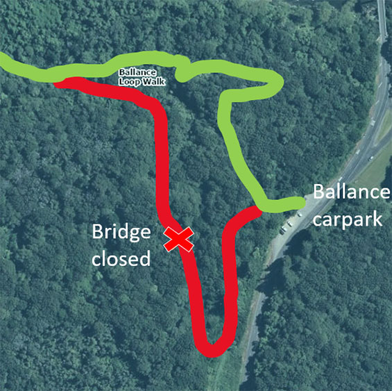
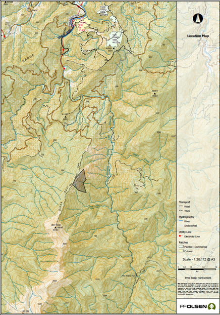
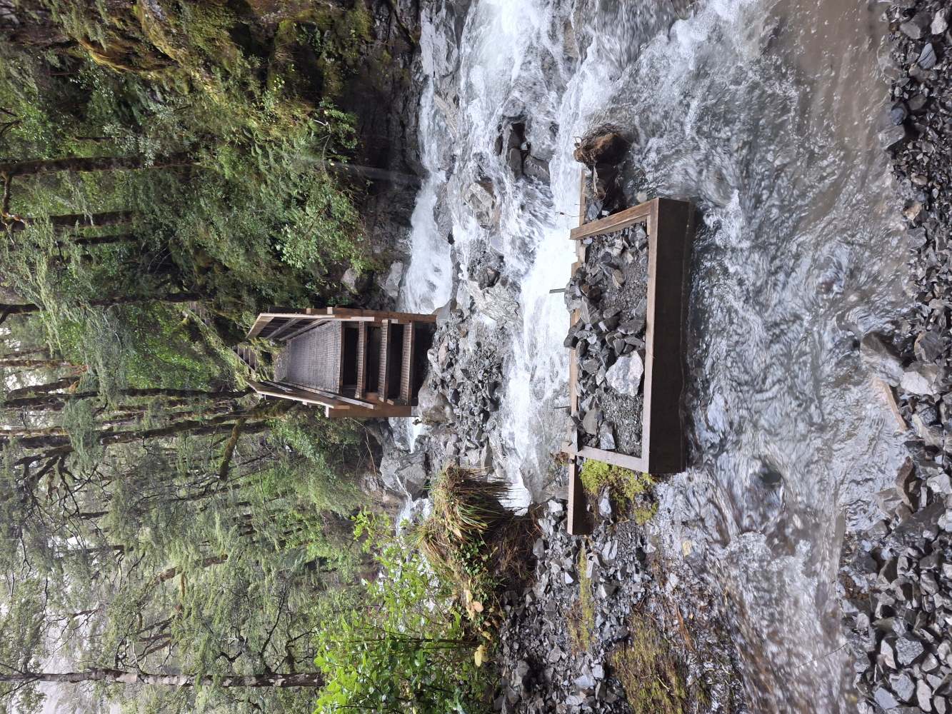
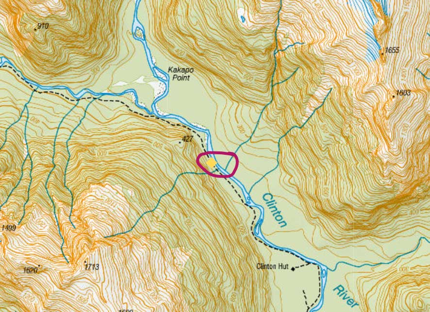
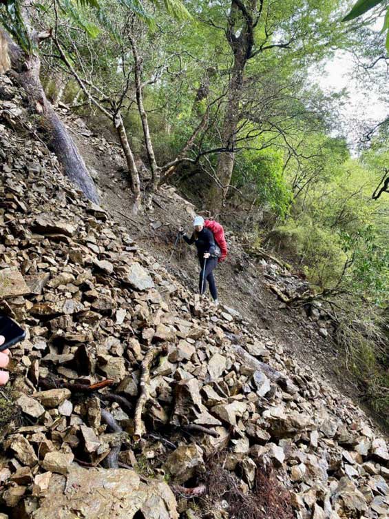
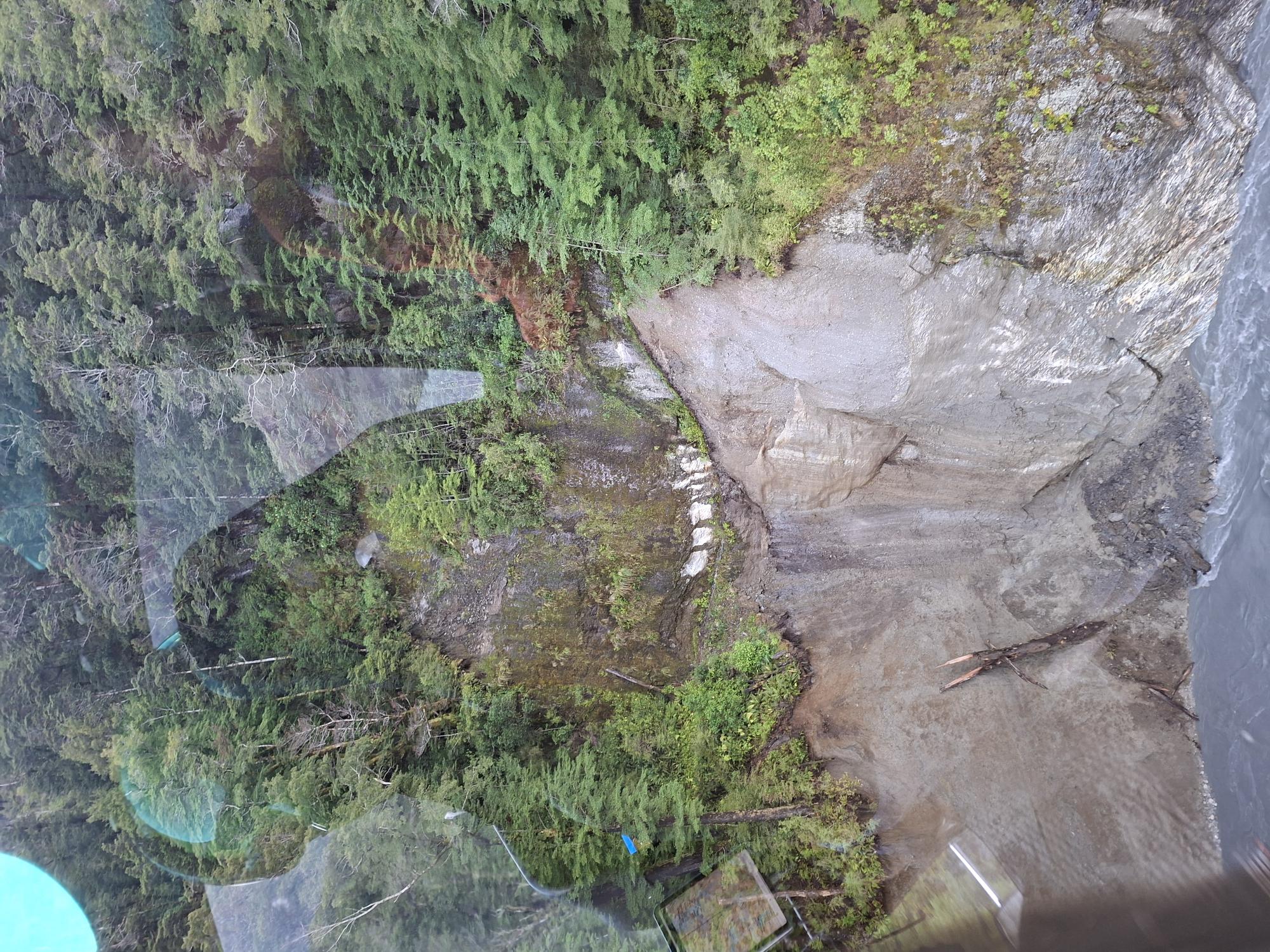
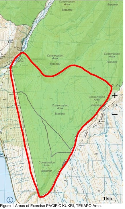
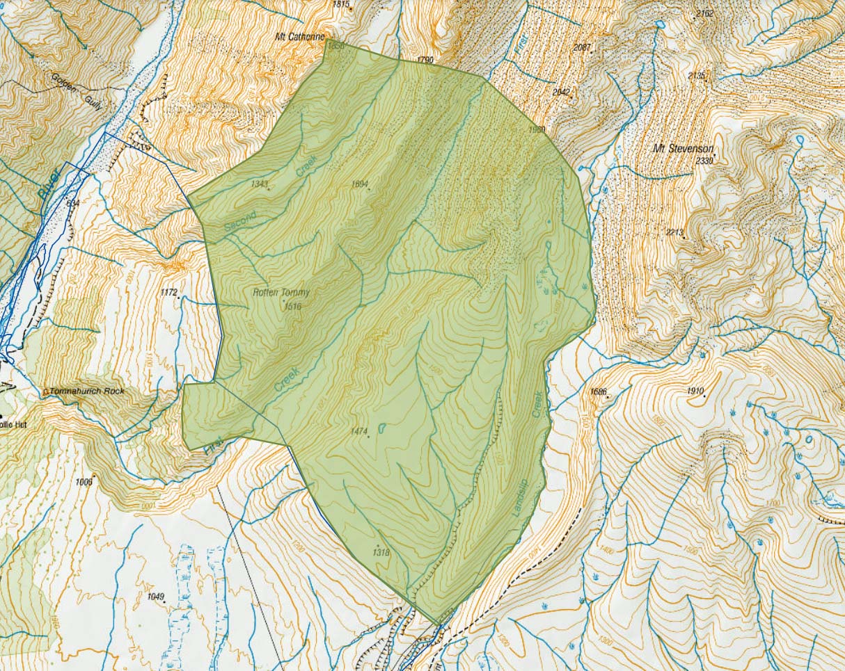
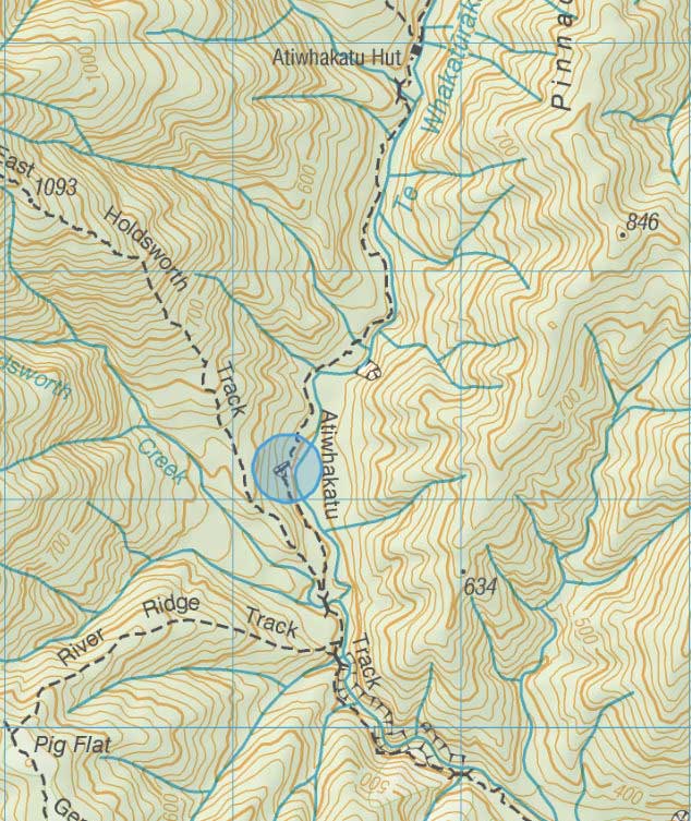
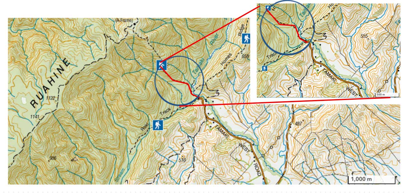