Recent Changes - Search:

add Trips page

hide Trips

Trips


hide Topics

Topics

show Changed

Changed

Visitor's book Site map pmwiki-2.4.0

2022-07-30 Hokakura Hurunui, Day 5

for photos pages for maps page for photos pages for main page for day pages add main page trail

add sub-page trail

2022-07-30HokakuraHurunui,Maps/2022-08-03 nzm Hurunui #3 Hut to Hurunui Hut.gpx

Hurunui #3 Hut to Hurunui Hut

Wednesday 3 August 2022

Start: 10:36 Start elev: 666 m Max elev: 676 m Distance: 10.2 km
End: 14:58 End elev: 622 m Ascent: 466 m Avg moving speed: 2.8 km/h
Duration: 04:21 h Elev loss: -45 m Descent: 509 m Duration moving: 03:36 h

2022-08-03 09.12.10 IMG_0439 Brian - rainbow over the Hurunui Valley from Hurunui 3 Hut.jpeg: 5472x3648, 5520k (2022 Dec 11 15:05)
Rainbow over the Hurunui Valley from Hurunui 3 Hut

Photo: Brian

2022-08-03 09.12.38 IMG_0440 Brian - rainbow over the Hurunui Research Hut.jpeg: 5472x3648, 7973k (2022 Dec 11 15:05)
Rainbow over the Hurunui Research Hut
Photo: Brian
2022-08-03 10.35.59 S20 Simon - leaving Hurunui 3 hut in rain.jpeg: 4032x3024, 3511k (2022 Dec 11 15:05)
Leaving Hurunui 3 hut in rain
Photo: Simon
2022-08-03 11.02.20 DSC02899 Alan - view down Hurunui_cr.jpg: 3153x2365, 2807k (2022 Aug 20 16:31)
View down Hurunui
Photo: Alan
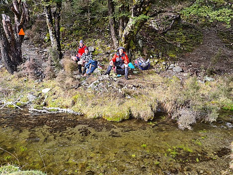
2022-08-03 11.44.05 S20 Simon - rest stop on the track.jpeg: 4032x3024, 7980k (2022 Dec 11 15:05)
Rest Stop On The Track
Photo: Simon
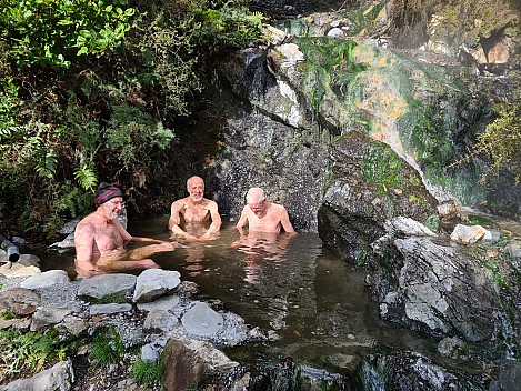
2022-08-03 12.39.14 S20 Simon - Alan, Brian, and Bruce sitting in the hot pool.jpeg: 4032x3024, 6348k (2022 Dec 11 15:05)
Alan, Brian, and Bruce sitting in the hot pool
Photo: Simon
2022-08-03 12.59.59 IMG_0442 Brian - Alan and Bruce at a stop on the Hurunui.jpeg: 5472x3648, 10261k (2022 Dec 11 15:05)
Alan and Bruce at a stop on the Hurunui
Photo: Brian
2022-08-03 13.21.47 DSC02901 Alan - Dinner and Isolated Hills_cr.jpeg: 3648x2392, 2614k (2022 Dec 11 15:05)
Dinner and Isolated Hills
Photo: Alan
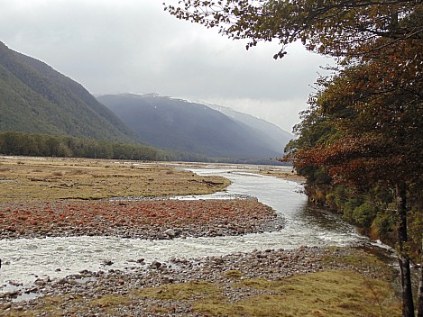
2022-08-03 13.59.40 S20 Simon - view up the Hurunui River.jpeg: 4032x3024, 4762k (2022 Dec 11 15:05)
View up the Hurunui River
Photo: Simon
2022-08-03 14.46.32 IMG_0443 Brian - Simon with view of the head of Hoka Kura.jpeg: 5472x3648, 10048k (2022 Dec 11 15:05)
Simon with view of the head of Hoka Kura
Photo: Brian
2022-08-03 14.47.09 DSC02902 Alan - Hurunui River Flats and head of Hoka Kura_cr.jpeg: 3648x2392, 2837k (2022 Dec 11 15:05)
Hurunui River Flats and head of Hoka Kura
Photo: Alan
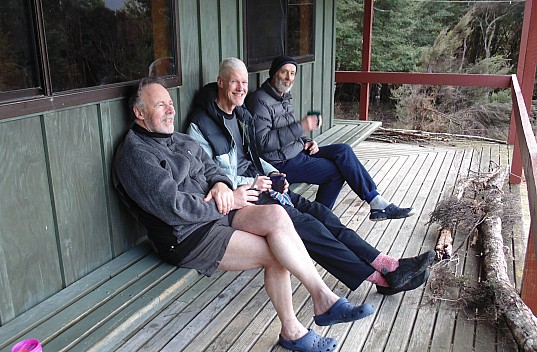
2022-08-03 15.52.45 DSC02904 Alan - Simon, Alan, and Brian at Hurunui Hut_cr.jpeg: 3648x2392, 2966k (2022 Dec 11 15:05)
Simon, Alan, and Brian at Hurunui Hut
Photo: Alan
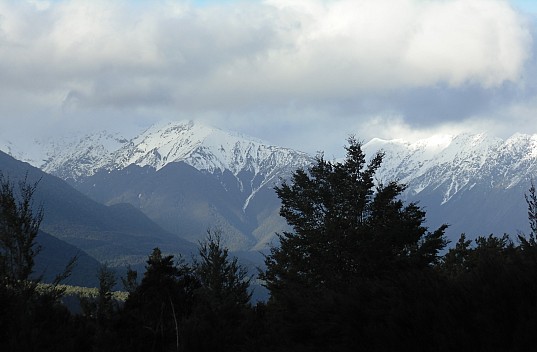
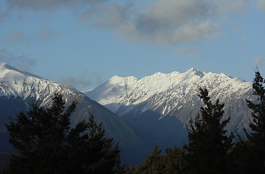
2022-08-03 16.13.24 DSC02905 Alan - view of Mt Emerson and Glynn Wye Range_cr.jpeg: 3648x2392, 2970k (2022 Dec 11 15:05)
View of Mt Emerson and Glynn Wye Range
Photo: Alan
2022-08-03 16.13.39 DSC02906 Alan - view of Mt Emerson_cr.jpeg: 3648x2392, 2966k (2022 Dec 11 15:05)
View of Mt Emerson
Photo: Alan
2022-08-03 16.41.04 DSC02908 Alan - view of Glynn Wye Range_cr.jpeg: 3648x2392, 3116k (2022 Dec 11 15:05)
View of Glynn Wye Range
Photo: Alan


Hurunui Hut
Hurunui Hut

Hurunui Hut

Hurunui Hut is a Standard hut, located at -42.704, 172.096. There are 15 bunks with heating, mattresses, toilets - non-flush, water from tap - not treated, boil before use, and water supply. Bookings are not required, usage is first come, first served.
Hurunui Hut

add sub-page trail

tahi Page last modified on 2023 Dec 30 16:54

Edit - History - Recent Changes - WikiHelp - Search - email page as link -> mailto:?Subject="KiwiWiki: 2022-07-30 Hokakura Hurunui, Day 5"&Body=