for main page
for day pages
for maps page
for day pages
for day pages
for main page
for day pages
add main page trail
Trips/2022-07-30HokakuraHurunui,Maps/2022-07-30 to 08-06 Hokakura Hurunui final.gpx
Maps
Tramp with Brian, Bruce and Alan up the Hurunui River 'North Branch'
Fly Wellington to Ōtautahi, drive to Loch Katrine, tramp Hurunui River to Hurunui Hut
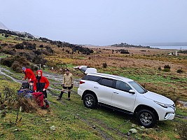
Getting ready and snowing at the Loch Katrine gate
📷 Simon
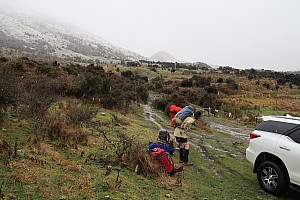
Putting Packs On At Road End
📷 Brian

Heading Off Along The Track
📷 Simon
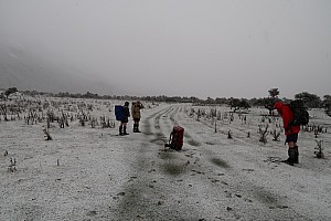
Having A Breather While Snowing On The Track
📷 Brian
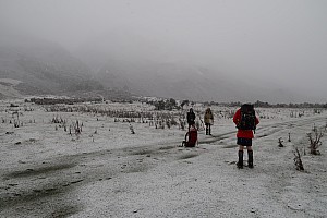
Simon Alan and Bruce having a breather while snowing on the track
📷 Brian
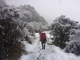
Snowing On The Track
📷 Simon
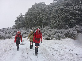
Brian Alan and Bruce on the track snowing
📷 Simon
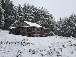
Alan Brian and Bruce at Hurunui Hut in heavy snow
📷 Simon
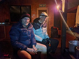
Alan and Bruce in Hurunui Hut
📷 Simon
| Start: | 15:02
| Start elev: | 553 m
| Max elev: | 639 m
| Distance: | 8.5 km
|
| End: | 17:16
| End elev: | 638 m
| Ascent: | 265 m
| Avg tramping speed: | 4.0 km/h
|
| Duration: | 02:14 h
| Elev gain: | 85 m
| Descent: | 202 m
| Duration tramping: | 02:08 h
|
Tramp Hurunui River from Hurunui Hut to Hurunui #3 Hut

Brian Alan and Bruce leaving Hurunui Hut
📷 Simon
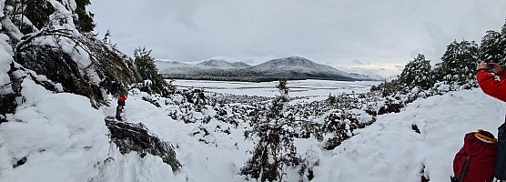
Hurunui panorama
📷 Simon

Bruce and Alan on the snowy track
📷 Brian

Bruce with river and snow behind
📷 Brian

Alan, Brian, and Bruce taking off a layer
📷 Simon

Rest stop and view down Hurunui, Bruce, Brian, and Alan
📷 Simon

Bruce, Brian, and Alan at hot pool
📷 Simon
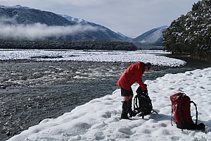
Bruce at rest stop, river and snow
📷 Brian

Bruce at rest stop, river and snow
📷 Brian

Brian at Hurunui 3 hut
📷 Simon

Simon and Bruce at Hurunui 3 hut
📷 Brian
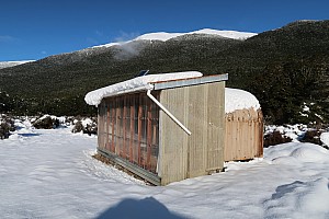
Hurunui Biodiversity Hut
📷 Brian
| Start: | 08:55
| Start elev: | 636 m
| Max elev: | 657 m
| Distance: | 11.2 km
|
| End: | 15:37
| End elev: | 640 m
| Ascent: | 382 m
| Avg tramping speed: | 2.1 km/h
|
| Duration: | 06:41 h
| Elev gain: | 4 m
| Descent: | 366 m
| Duration tramping: | 05:18 h
|
Tramp Hurunui River from Hurunui #3 Hut to Camerons Hut and beyond return
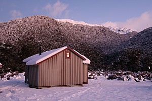
Hurunui 3 hut and snowy hills in morning light
📷 Brian

Hurunui 3 hut panorama early morning
📷 Simon

Early morning from Hurunui 3 hut
📷 Simon
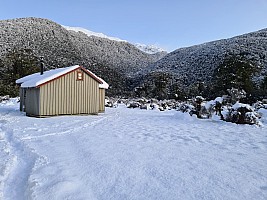
Hurunui Hut across valley to Waterfall Stream
📷 Simon
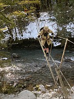
Image 0 Bruce - Alan crossing three wire bridge on Cameron Stream
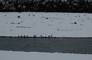
Paradise Ducks in snow
📷 Alan
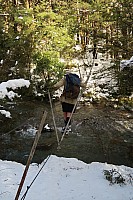
Alan on Camerons Creek three wire bridge
📷 Brian
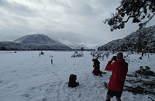
Bruce and Brian 1½ hours from Hurunui Hut
📷 Alan

View up snowy Hurunui River
📷 Alan

View across snowy Hurunui River
📷 Alan

Snow On The River Flats
📷 Simon

Camerons Hut across snowy flat
📷 Simon
| Start: | 09:16
| Start elev: | 655 m
| Max elev: | 759 m
| Distance: | 12.5 km
|
| End: | 15:02
| End elev: | 667 m
| Ascent: | 331 m
| Avg tramping speed: | 2.6 km/h
|
| Duration: | 05:46 h
| Elev gain: | 12 m
| Descent: | 330 m
| Duration tramping: | 04:51 h
|
Hut day at Hurunui #3 Hut
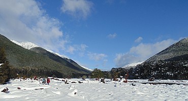
Simon and Bruce heading up Hurunui in snow stitch cr
📷 Alan
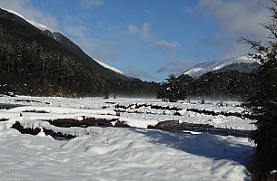
View up snowy Hurunui River flats
📷 Alan
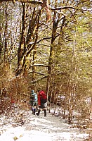
Simon and Brian tramping through forest
📷 Alan
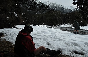
Brian and Simon at lunch spot on Hurunui River
📷 Alan
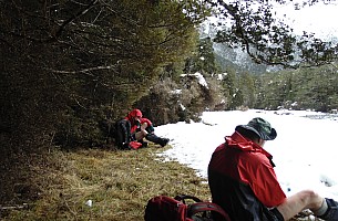
Brian and Bruce at lunch spot on Hurunui River
📷 Alan
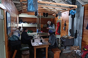
Hut day at Hurunui 3 Hut
📷 Brian
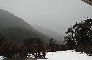
View outside Hurunui 3 Hut
📷 Alan
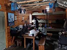
Brian, Alan, and Bruce inside Hurunui 3 Hut
📷 Simon

Mossy tree root
📷 Alan
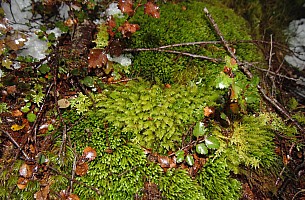
Moss
📷 Alan

Lichen and moss
📷 Alan

Moss And Orchids On Tree Trunk
📷 Alan
| Hurunui Hut: | 15:00, | 0m |
| Camerons Hut: | 17:15, | 0m |
| Lunch : | 17:15, | 0m |
| Total: | 2:15, | +0m | 0km |
Hurunui #3 Hut to Hurunui Hut
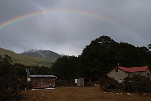
Rainbow over the Hurunui Valley from Hurunui 3 Hut
📷 Brian

Rainbow over the Hurunui Research Hut
📷 Brian

Leaving Hurunui 3 hut in rain
📷 Simon

View down Hurunui
📷 Alan
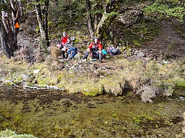
Rest Stop On The Track
📷 Simon
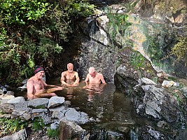
Alan, Brian, and Bruce sitting in the hot pool
📷 Simon
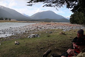
Alan and Bruce at a stop on the Hurunui
📷 Brian

Dinner and Isolated Hills
📷 Alan

View up the Hurunui River
📷 Simon
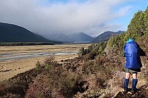
Simon with view of the head of Hoka Kura
📷 Brian
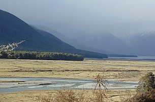
Hurunui River Flats and head of Hoka Kura
📷 Alan

View of Mt Emerson
📷 Alan
| Start: | 10:36
| Start elev: | 666 m
| Max elev: | 676 m
| Distance: | 10.2 km
|
| End: | 14:58
| End elev: | 622 m
| Ascent: | 466 m
| Avg tramping speed: | 2.8 km/h
|
| Duration: | 04:21 h
| Elev loss: | -45 m
| Descent: | 509 m
| Duration tramping: | 03:36 h
|
Macs Knob day trip

Simon and Alan at bush edge lunch stop
📷 Brian
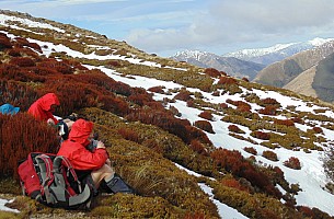
Brian and Bruce at lunch spot just above Macs Knob bush edge
📷 Alan

Simon heading up after lunch
📷 Brian

Brian ascending above the bushline and view up the Hurunui
📷 Simon

Bruce and Hokakura view
📷 Brian

Loch Katrine and Lake Mason from Macs Knob
📷 Simon

Hurunui River
📷 Brian
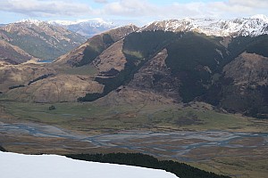
Hurunui River and Lake Mason
📷 Brian

Hokakura
📷 Simon
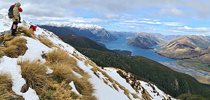
View from our high point on Macs Knob
📷 Simon

View looking at Hurunui Hut
📷 Simon

Hokakura panorama
📷 Simon
| Start: | 08:39
| Start elev: | 630 m
| Max elev: | 1,407 m
| Distance: | 19.2 km
|
| End: | 16:58
| End elev: | 659 m
| Ascent: | 1,126 m
| Avg tramping speed: | 2.7 km/h
|
| Duration: | 08:19 h
| Elev gain: | 29 m
| Descent: | 1,180 m
| Duration tramping: | 07:10 h
|
Hurunui Hut to Loch Katrine
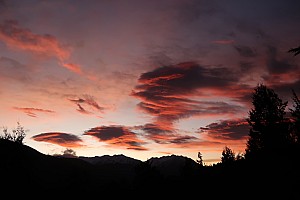
Hurunui sunrise
📷 Brian

Hurunui sunrise
📷 Brian

Brian, Alan, and Bruce heading out from Hurunui Hut
📷 Simon
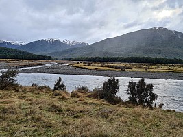
View of Mc Millan Stream and Macs Knob and spur we climbed
📷 Simon
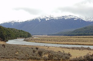
Hurunui River and swing bridge
📷 Alan

Near the site of Hurunui 2 Hut
📷 Simon
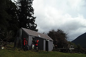
At Lake Sumner Hut
📷 Alan

At Lake Sumner Hut
📷 Alan
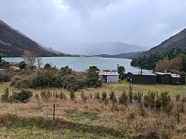
Loch Katrine from our bach
📷 Simon

Loch Katrine from bach
📷 Alan
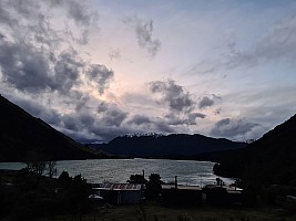
Loch Katrine at dusk
📷 Simon
| Start: | 09:59
| Start elev: | 625 m
| Max elev: | 652 m
| Distance: | 9.0 km
|
| End: | 12:22
| End elev: | 564 m
| Ascent: | 365 m
| Avg tramping speed: | 3.9 km/h
|
| Duration: | 02:23 h
| Elev loss: | -61 m
| Descent: | 436 m
| Duration tramping: | 02:19 h
|
